
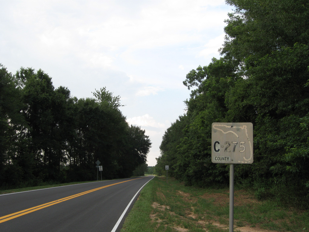
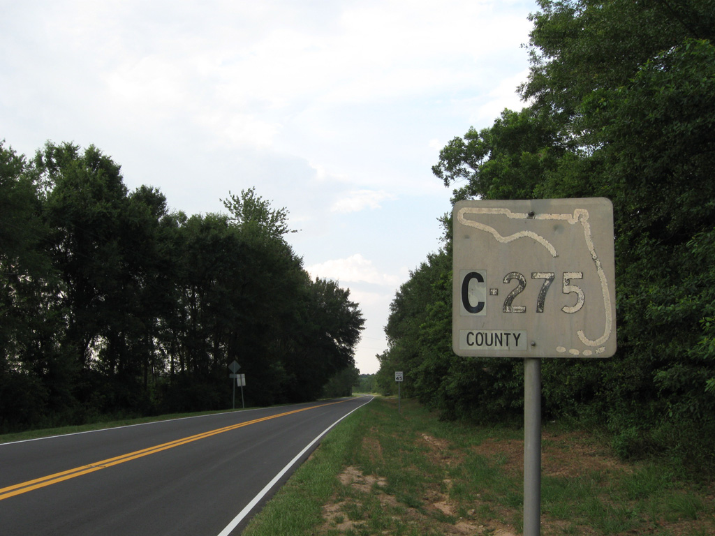
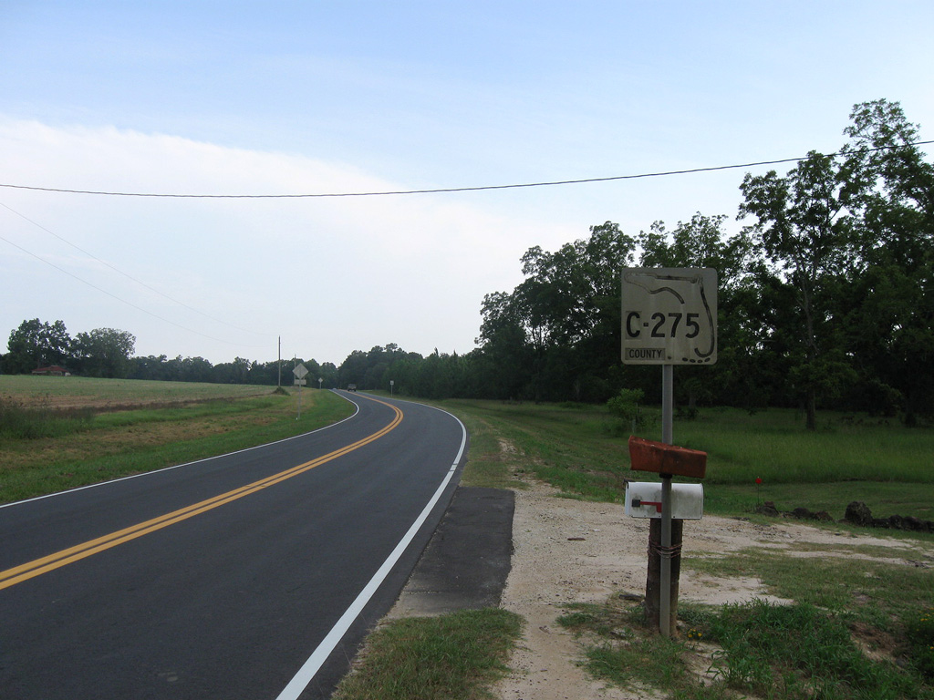
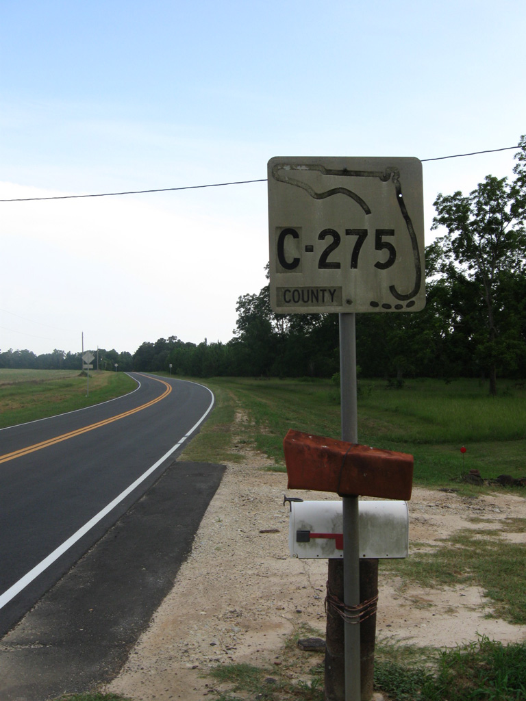
County Road 275
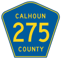
There are four branches of County Road 275 posted in Calhoun and Jackson Counties in the Florida Panhandle. The southern segment spurs 3.13 miles southeast from SR 71 along C.D. Clark Road to Juniper Swamp, CR 69 and Cox Fish Camp Road in a remote area east of Scotts Ferry. A 14.79 mile long section of CR 275 provides a bypass of Blountstown from SR 71 to the west.
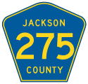
The northern stretch of County Road 275 is partitioned between a 2.98 mile long leg from CR 274 north to CR 278 (Alliance Road) in southern Jackson County, and a 6.39 mile segment along Church Street north from CR 278 (Birchwood Road) to Cypress and U.S. 90.
06/27/09
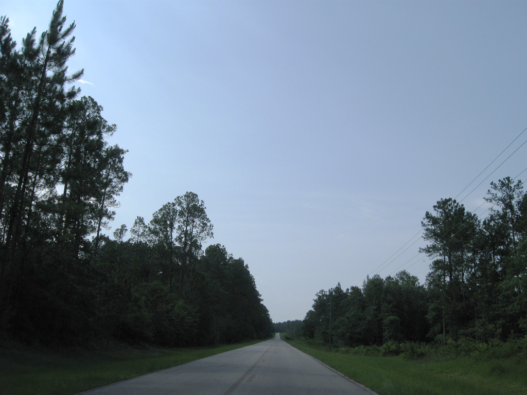
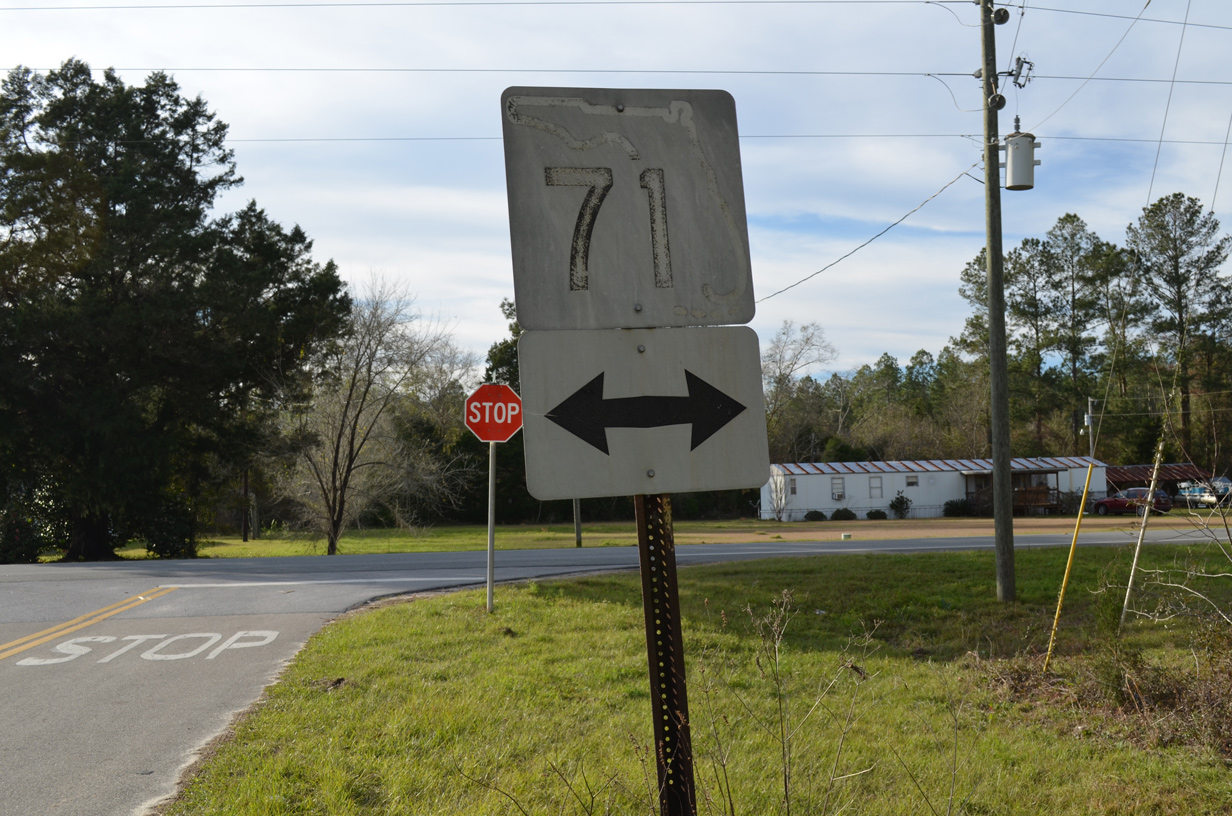
CR 275 (C.D. Clark Road) ties into SR 71 north of Scotts Ferry.
06/27/09
06/27/09
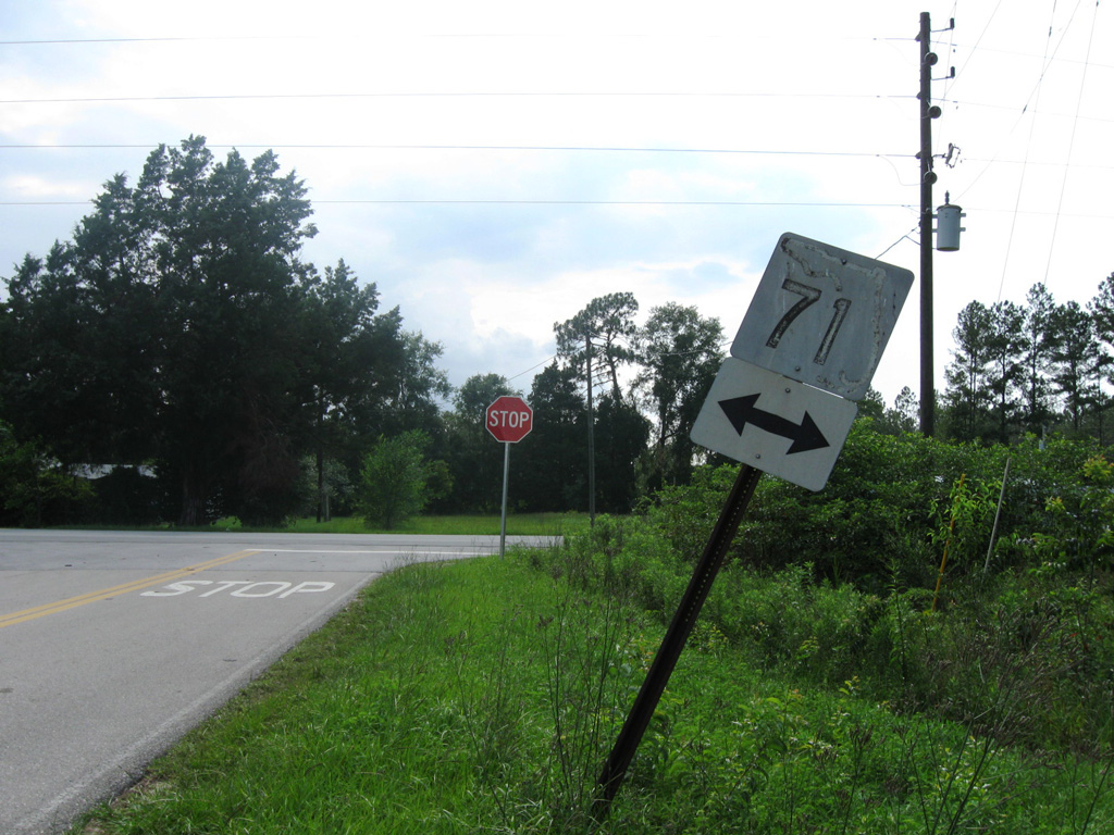
The keys shield for SR 71 on C.D. Clark Road was date stamped 04-05-67.
01/16/16
01/16/16

06/27/09
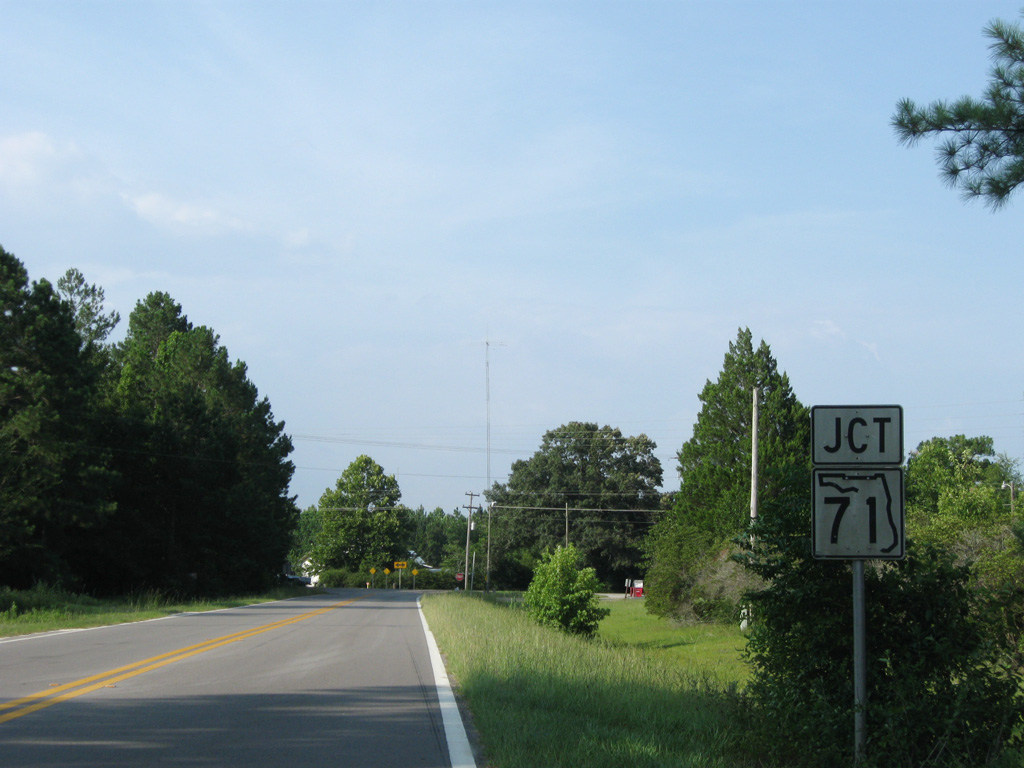
CR 275 converges with SR 71 again south of Altha.
06/27/09
06/27/09
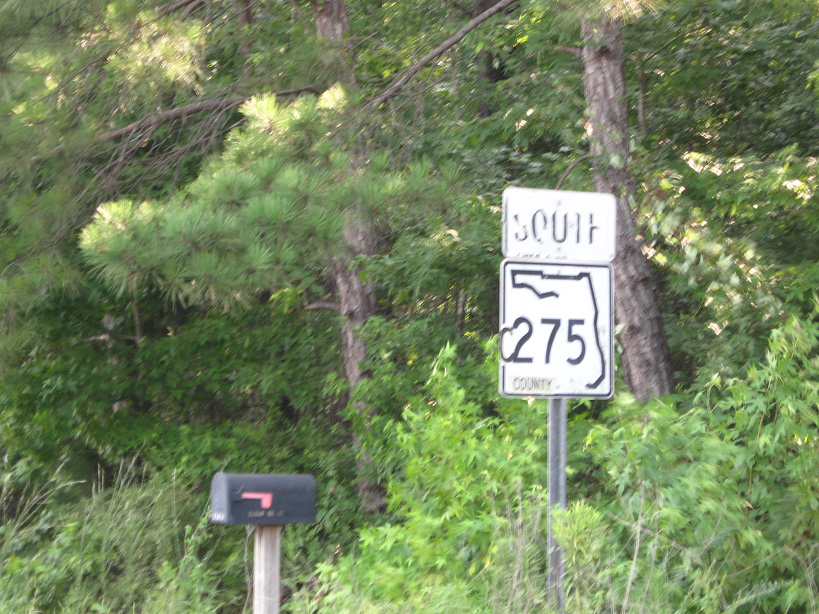
Confiming marker posted south beyond the split with SR 71 near Chipola.
06/27/09
06/27/09
06/27/09
06/27/09
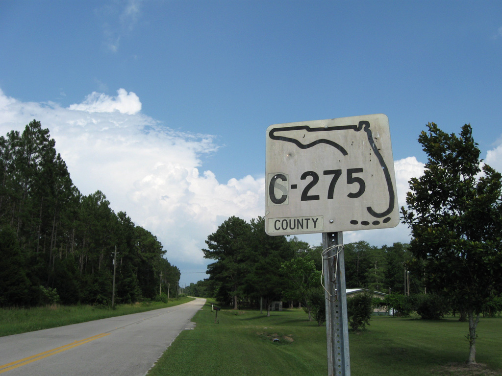
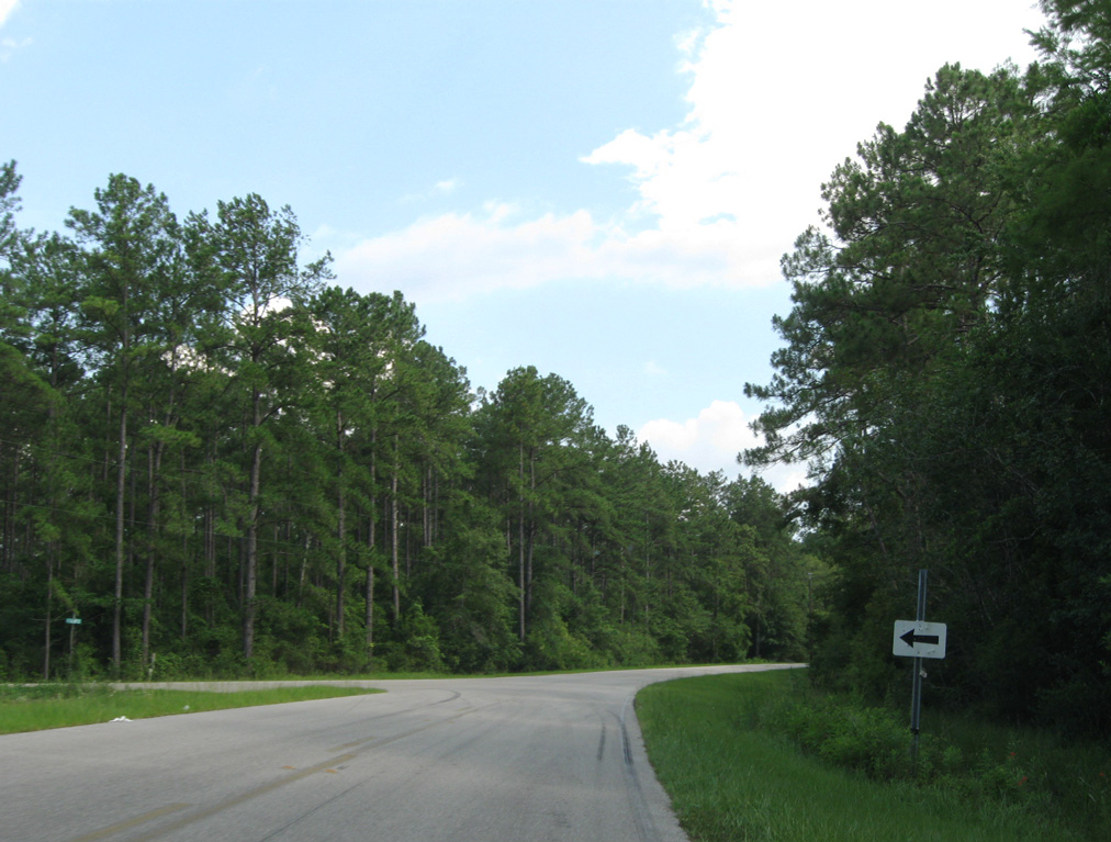
CR 275 arcs 3.13 miles southeast from SR 71 along C.D. Clark Road.
06/27/09
06/27/09
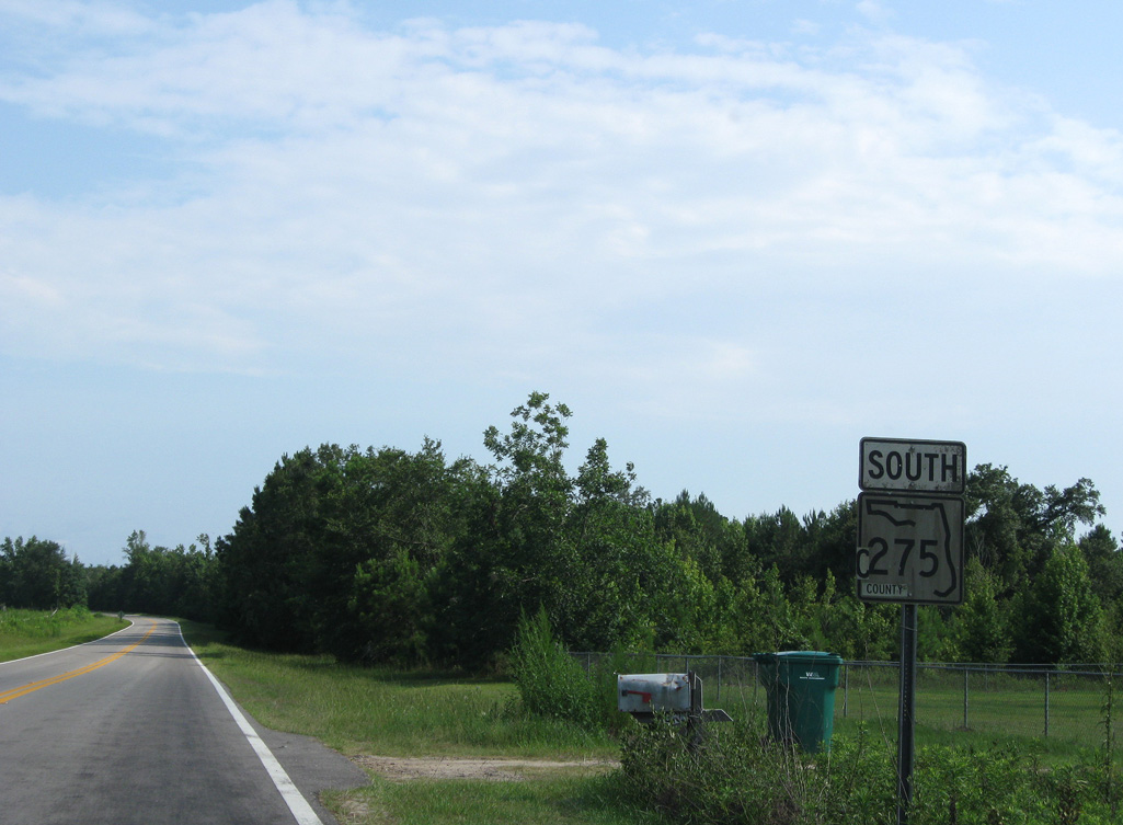
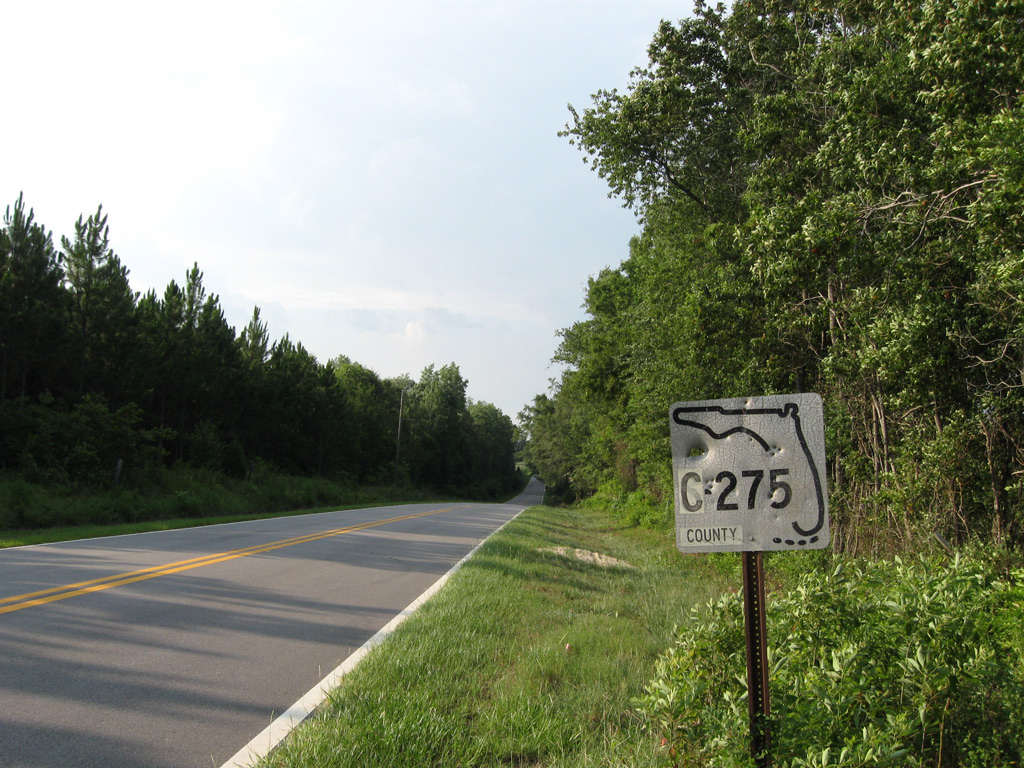
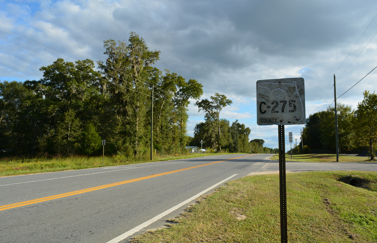
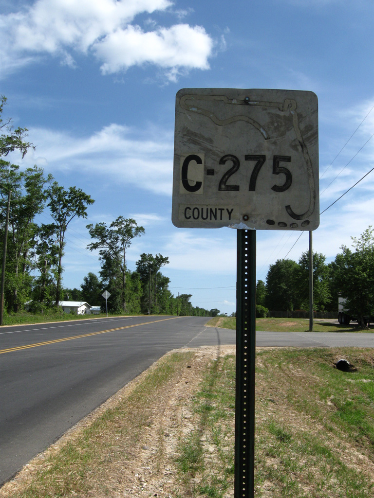
The S-275 keys shield posted east of SR 71 was date stamped 04-28-71.
01/16/16
01/16/16
Passing by Juniper Swamp along CR 275 (C.D. Clark Road) southbound.
06/27/09
06/27/09
CR 275 converges with the south end of CR 69 west of Lots Mill Creek. CR 69 heads 10.06 miles north to SR 71 near Blountstown.
06/27/09
06/27/09
Former reassurance marker posted northbound at the intersection with Mt. Olive Cemetery Church Road (CR 275A) west and Amaziah Peacock Road east. This sign was replaced with a pentagon by May 2020.
06/27/09
06/27/09
CR 275A ran 2.2 miles west to Mt. Olive Cemetary and State Road 71 near Cox.
10/13/16
10/13/16
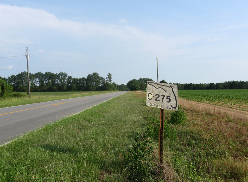
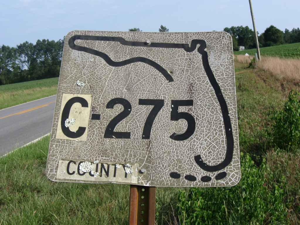
Crossing into southern Jackson County, CR 275 (Flamingo Road) advances north to CR 278 (Alliance Road).
06/27/09
06/27/09
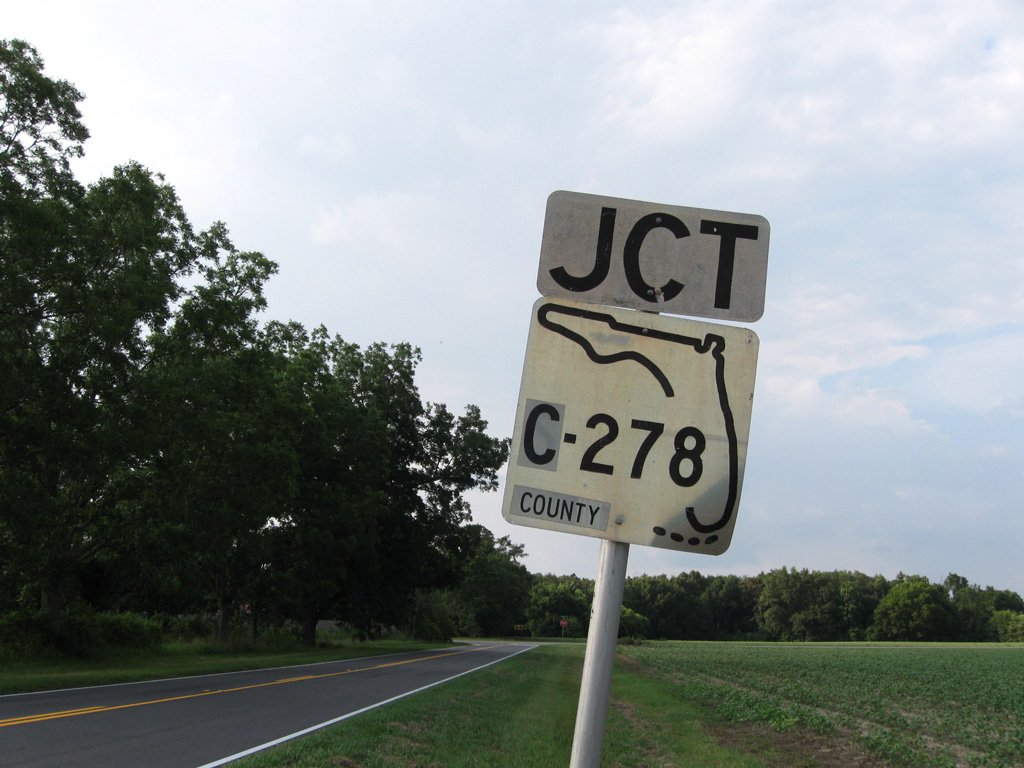
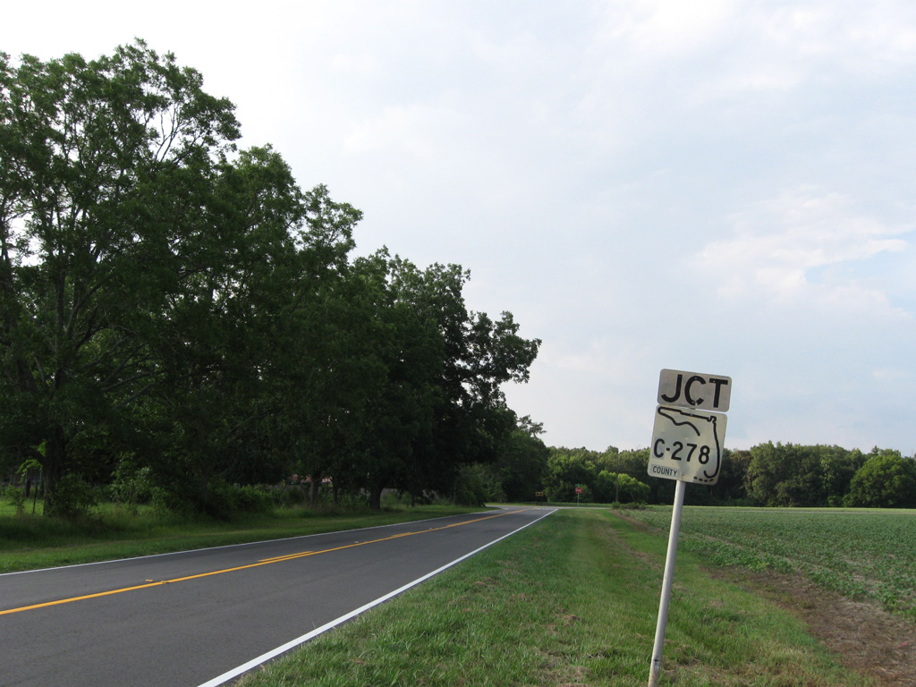
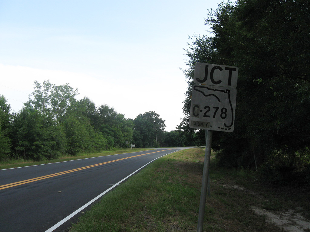
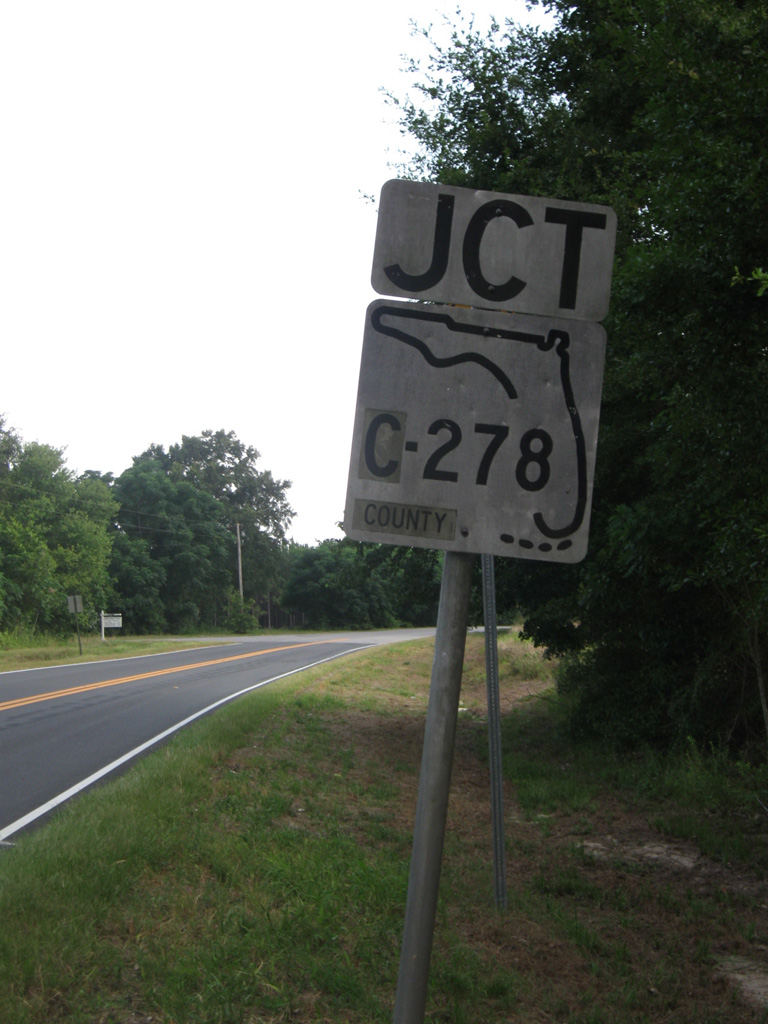
CR 278 follows a rural course west to SR 71 and SR 73 and east to SR 69 at CR 69A. CR 275 shares an implied overlap with CR 278 east to Church Street north. This keys shield was date stamped 10-27-70.
06/27/09
06/27/09
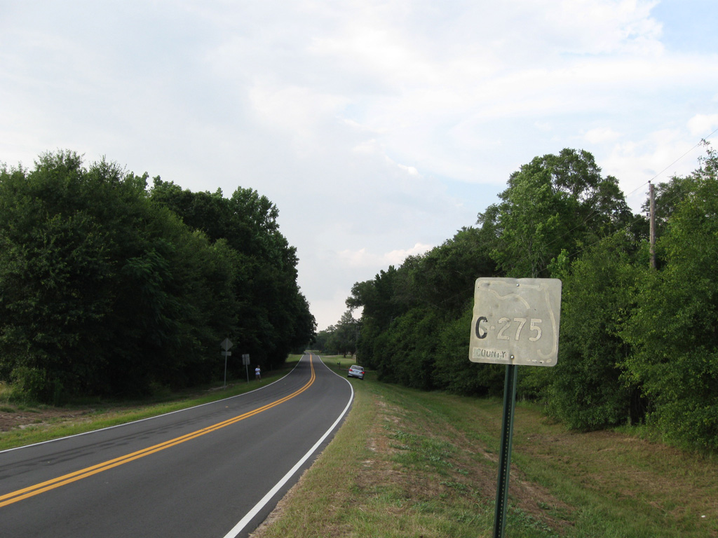
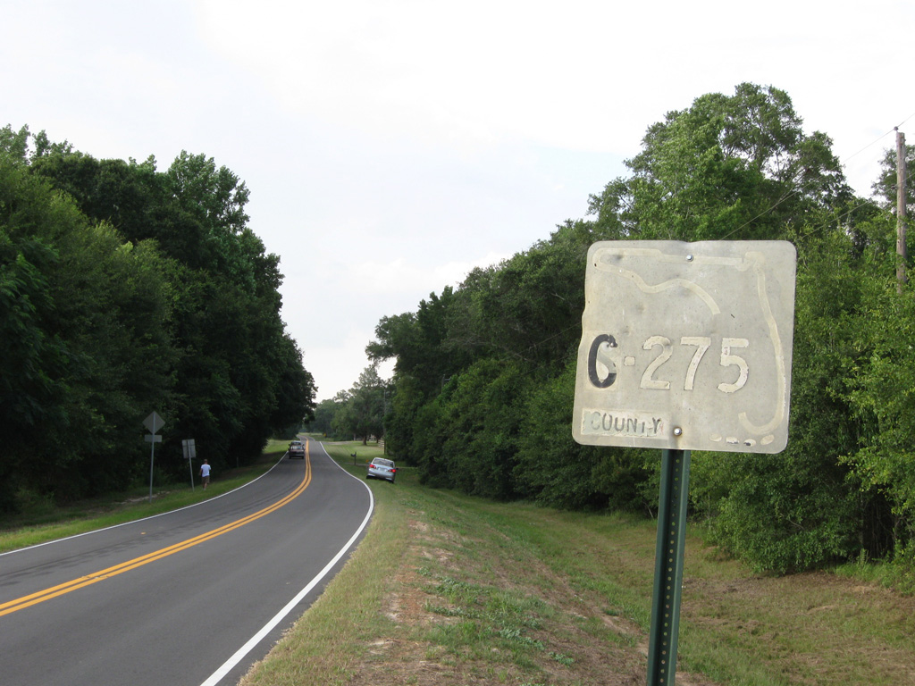
CR 275 resumes north from CR 278 (Alliance Road) along Church Street between Stickland and Hidden Hollow Lakes.
06/27/09
06/27/09
The northern segment of CR 275 extends 6.40 miles from CR 278 to U.S. 90 at Cypress.
06/27/09
06/27/09
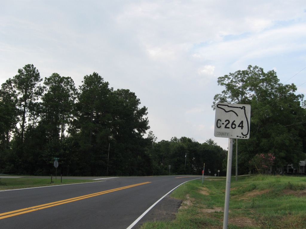
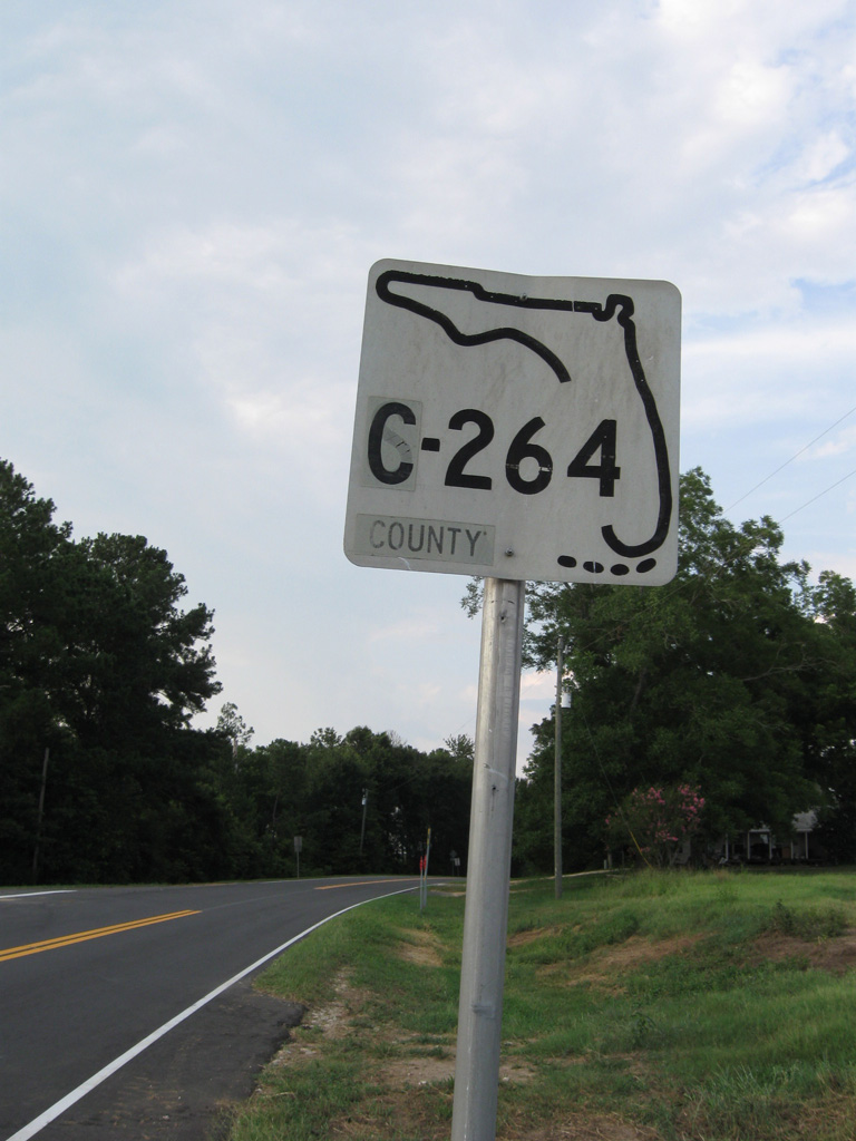
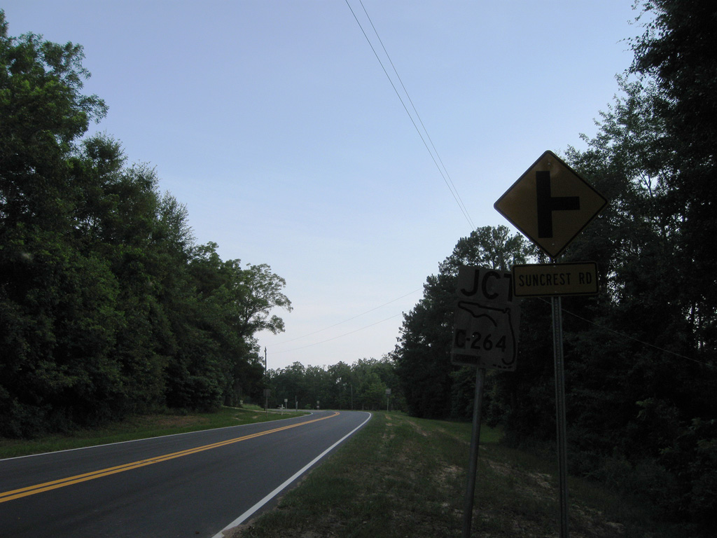
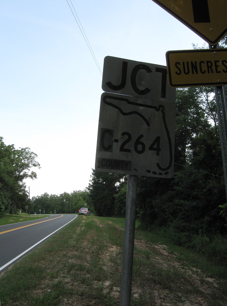
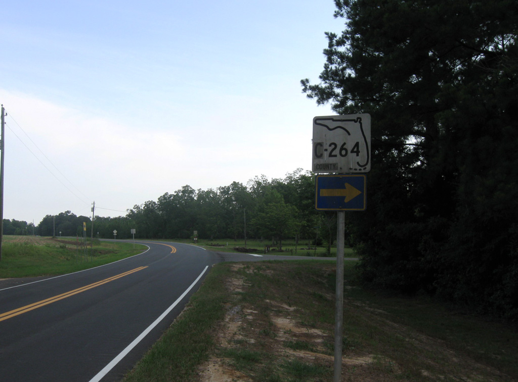
CR 275 (Church Street) meets the east end of CR 264 (Suncrest Road) north of Hidden Hollow Lake.
06/27/09
06/27/09
06/27/09
The confirming marker north of CR 264 was date stamped 01-28-66.
06/27/09
06/27/09
06/27/09
05/02/09
10/05/16
05/02/09
06/27/09
County Road 264 travels 5.00 miles west to SR 71 at Rock Creek.
06/27/09
06/27/09
06/27/09

06/27/09
06/27/09
06/27/09
CR 275 (Church Street) approaches CR 278 (Birchwood Road) south of Strickland Lake.
06/27/09
06/27/09
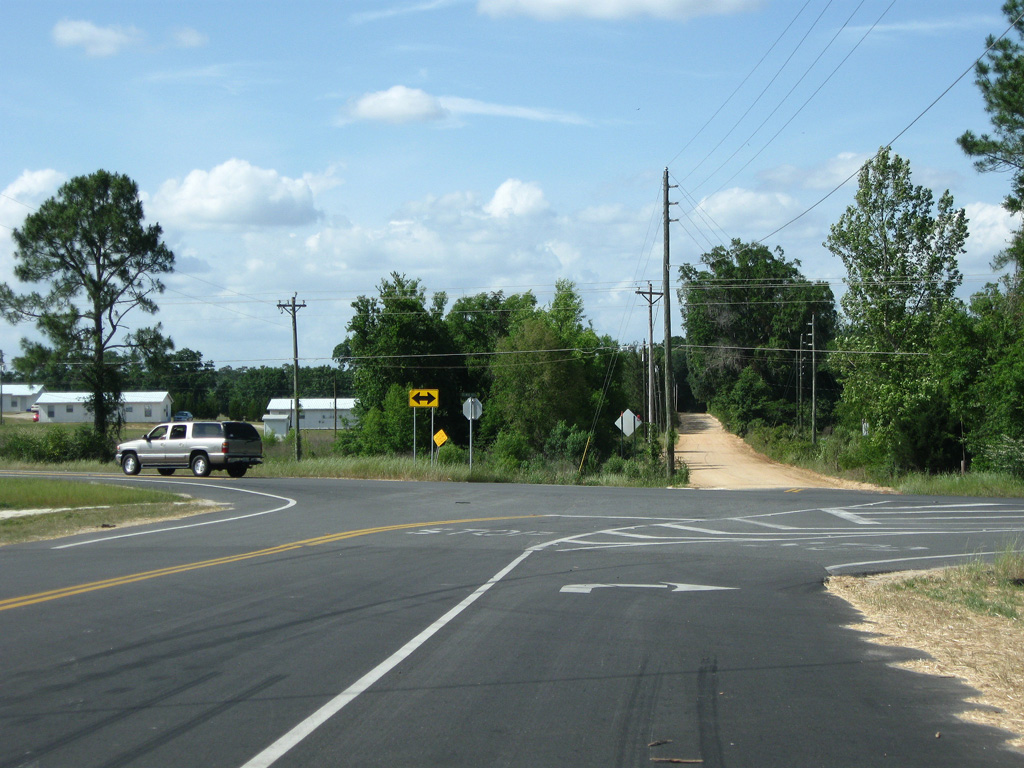
CR 278 (Birchwood Road) heads 3.32 miles east to SR 69 at CR 69A. CR 278 (Alliance Road) west connects CR 275 with its continuation along Flamingo Road in 1.25 miles.
06/27/09
06/27/09
CR 275 meets CR 275A (Mt. Olive Cemetery Road) west and Amaziah Peacock Road east one mile south of the Calhoun County line. This reassurance marker was posted after the rural intersection.
06/27/09
06/27/09
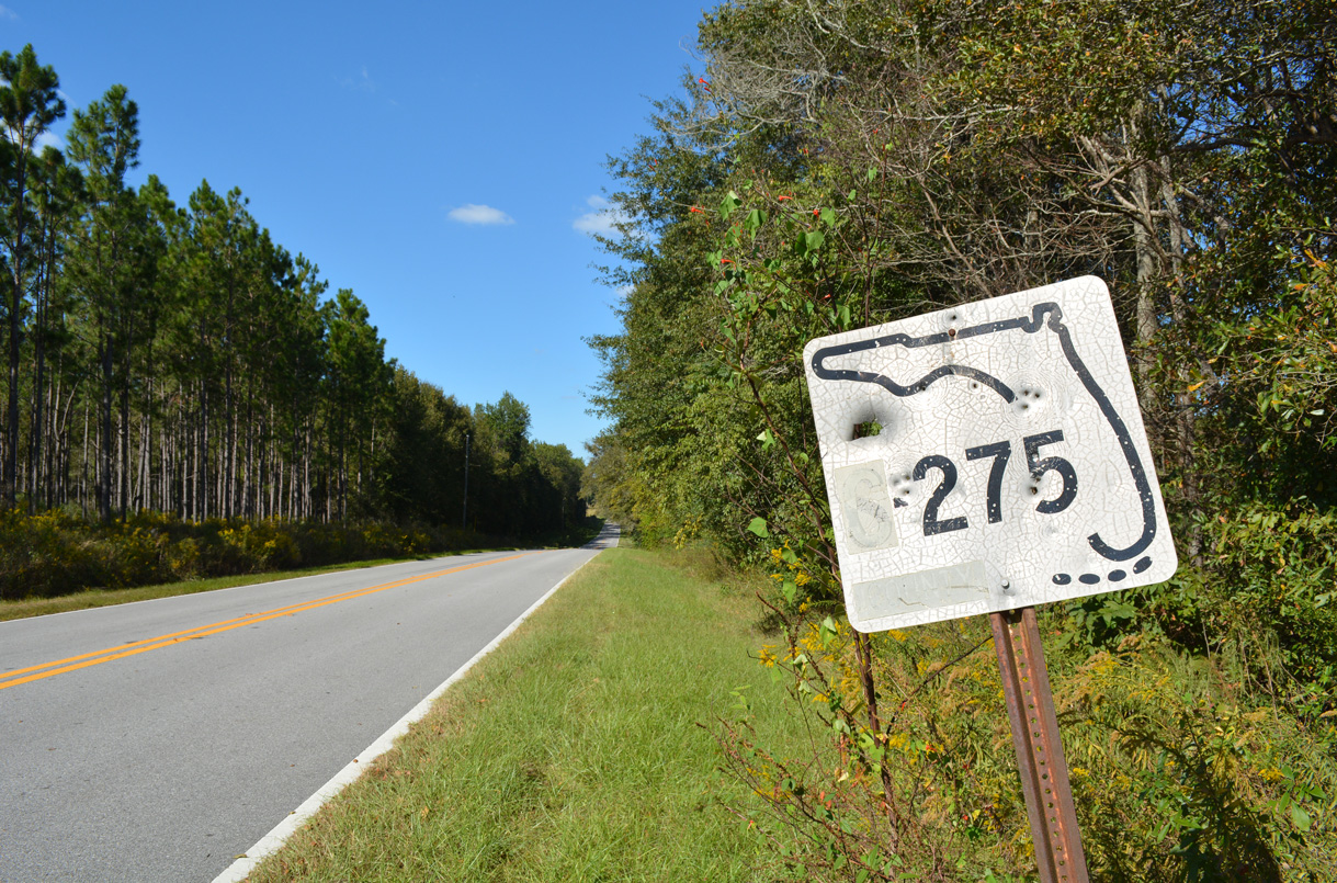
The keys shield for S-275 at S-275A was date stamped 04-16-73.
06/27/09
06/27/09
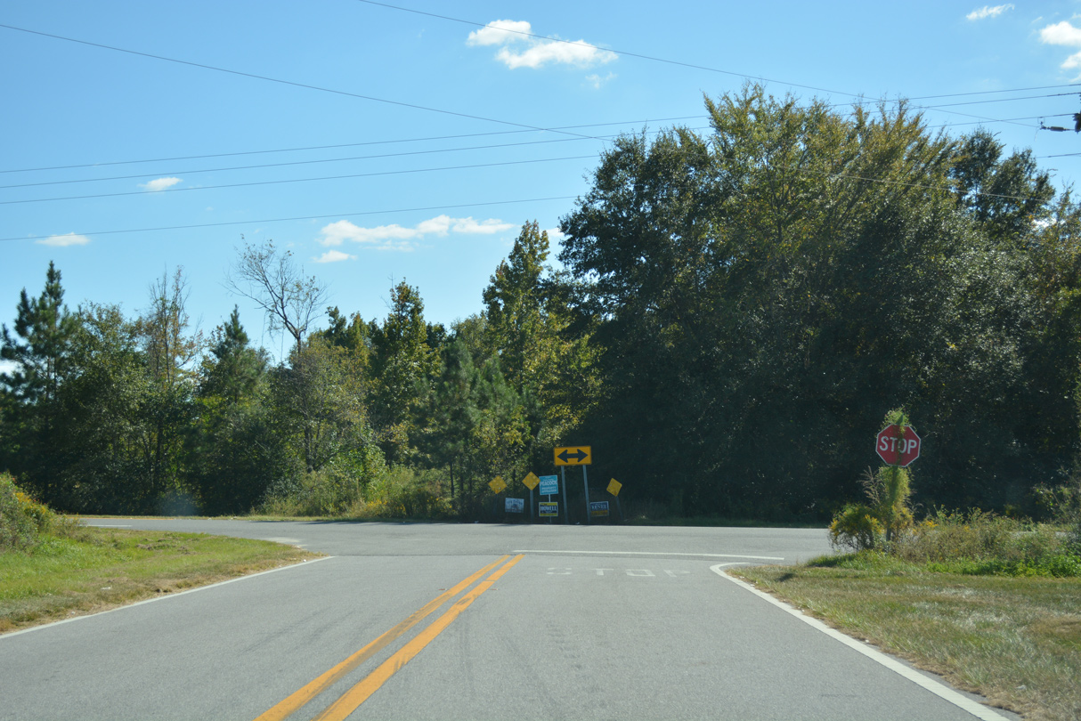
County Road 275 ties into CR 275 at a T-intersection east of Altha.
10/13/16
10/13/16
Photo Credits:
- ABRoads: 06/27/09, 01/16/16
- Alex Nitzman: 10/05/16, 10/13/16
- Brent Ivy: 05/02/09
Connect with:
Page Updated Saturday April 18, 2020.