
County Road 361


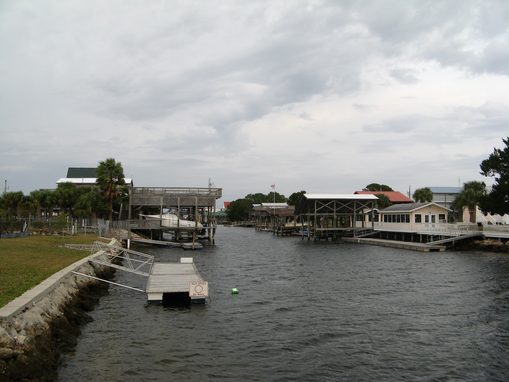
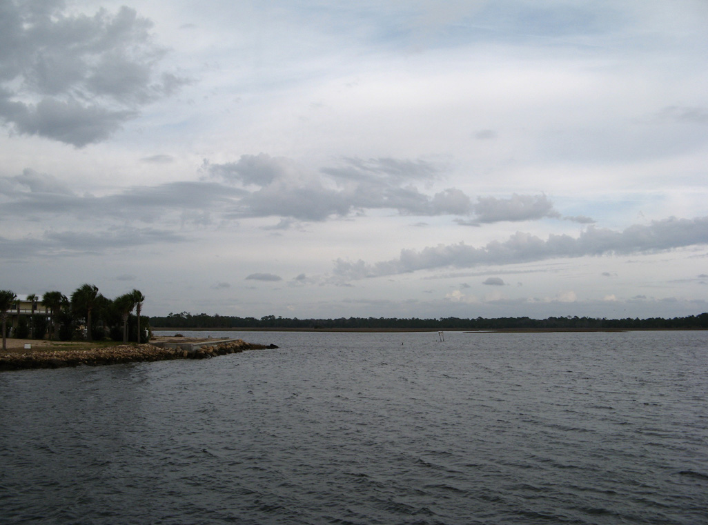
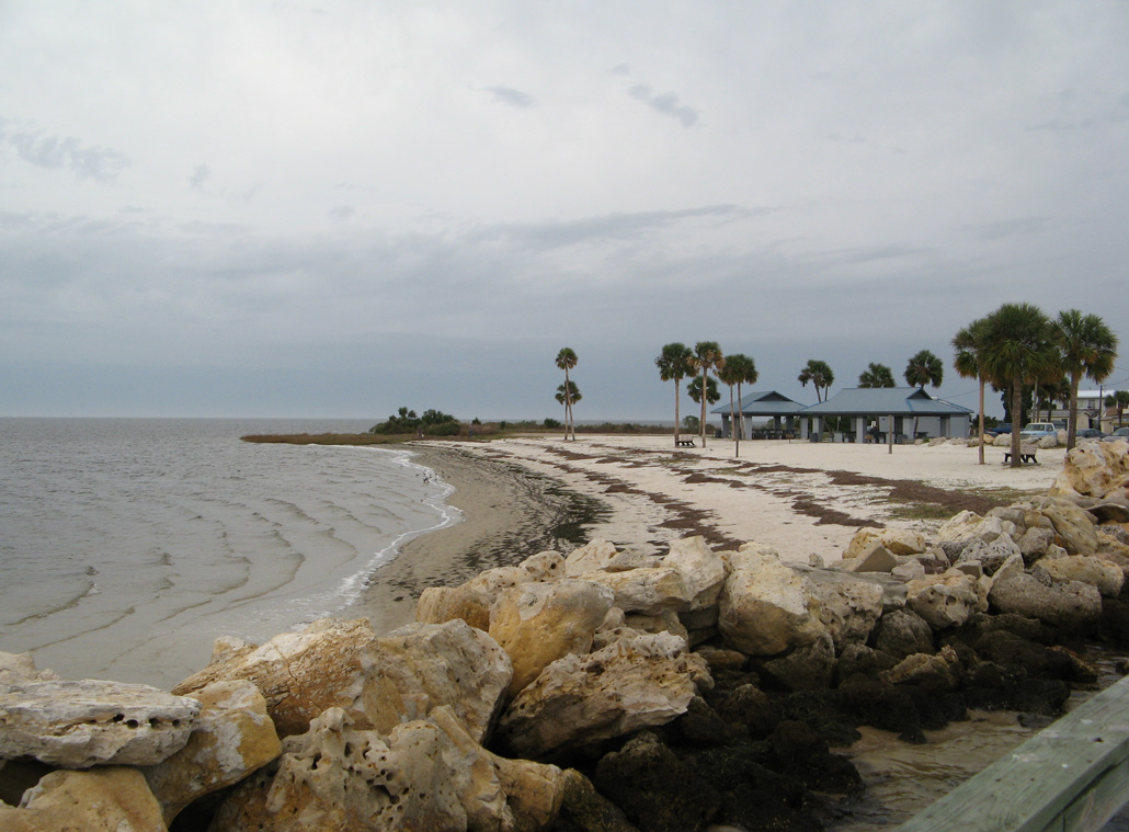
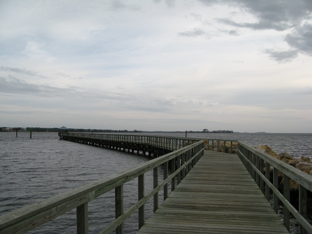
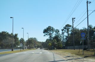
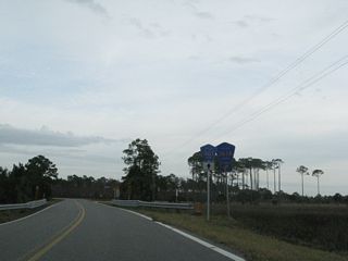
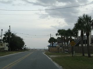
County Road 361 has five branches within Taylor County in Florida's Big Bend region. The main section is a coastal loop west from SR 51 (Riverside Drive) in Steinhatchee to Keaton Beach, and north from Keaton Beach to Perry. The segment along Beach Road runs 18.32 miles northwest across Big Bend Wildlife Management Area to Keaton Beach Drive. Keaton Beach Drive spurs south to Hodges Park along the Gulf of Mexico. The 17.65 mile northern portion of CR 361 extends from Keaton Beach Drive along the continuation of Beach Road to U.S. 19/98/27 Alternate.
An unsigned branch of County Road 361 spurs 0.34 miles west from CR 361 (Beach Road) at Keaton Beach along Ezell Beach Road.
The Steinhatchee River flows west from Steinhatchee adjacent to CR 361 to Dead Man Bay and the Gulf of America. - 07/22/2022
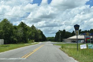
Within the Perry area, County Road 361B arcs west from CR 359B (Osteen Road) and CR 356 along Woods Creek Road 4.07 miles north to Harrison Blue Road, where CR 361 takes over 2.69 miles east on Harrison Blue and Pisgah Roads to U.S. 221. North of Pisgah Road, CR 361 also follows Shiloh Church Road 0.64 miles west from U.S. 221 to J.J. Blue Road and 1.96 miles east on Roberts Aman Road to Johnson Stripling Road. Johnson Stripling Road continues the route 3.52 miles south to Ash Street. Ash Street is another branch of CR 361, extending 1.83 miles east from U.S. 19/98 to Helen Street.
Dixie County Road 361 spurs 11.31 miles from CR 358 at Jena to Jena Wildlife Management Area and an unpaved cul de sac south of Cow Creek. Unsigned CR 361B provides a cut off from CR 361 northwest 0.97 miles to CR 358 at Jena along SW 820th Street.
County Road 361 Guides
Perry - 17 photos
Perry to Steinhatchee - 20 photos
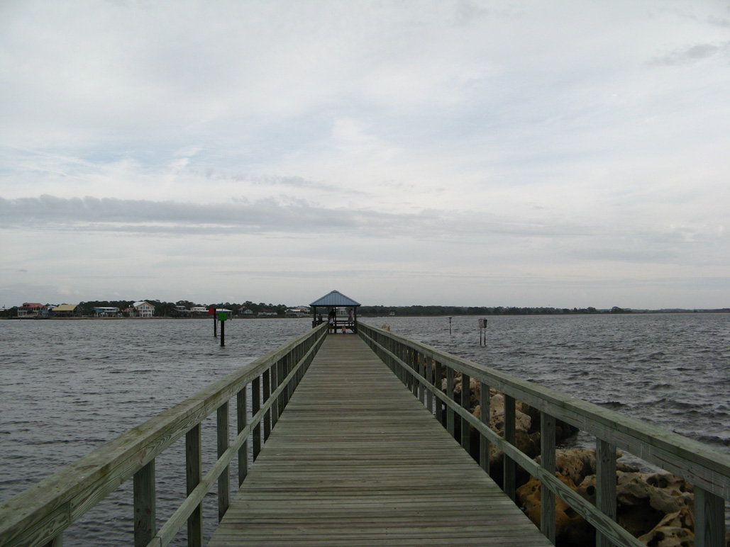
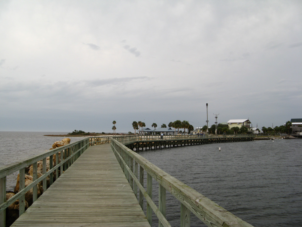
Keaton Beach Drive - 9 photos
Dixie County - 2 photos
References:
- "Keaton pier will be re-built at same location." Taco Times (Perry, FL), April 12, 2017.
Connect with:
Page Updated Friday July 24, 2020.