
County Road 386


County Road 386 is a rural highway connecting Mexico Beach along the Gulf of Mexico with State Road 71 at Wewahitchka. The 19.457 mile long route stems north from U.S. 98 along the Bay County line and east side of Mexico Beach. Curving northeast into Gulf County, CR 386 navigates along a winding course to the community of Overstreet at the Intracoastal Waterway, and through a mixture of wetlands and forest to SR 71 near Lake Coma and Lands Lake.
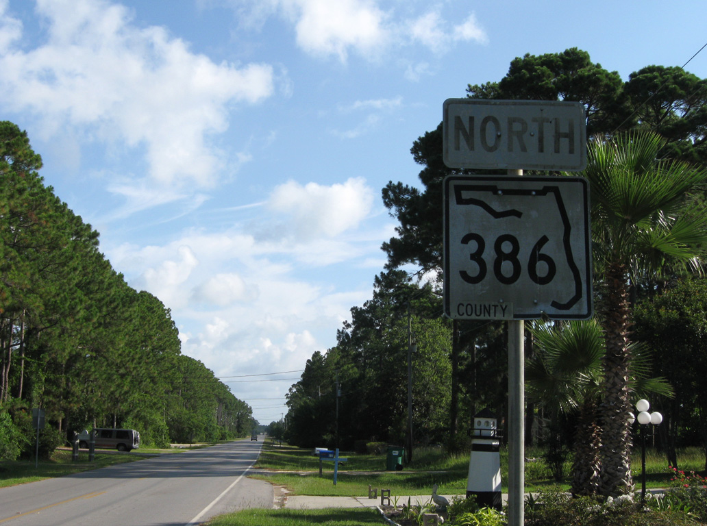
The first northbound shield for County Road 386 appears just beyond the Gulf County line at Mexico Beach. This SR 386 marker was replaced with a county pentagon after 2011.
06/27/09
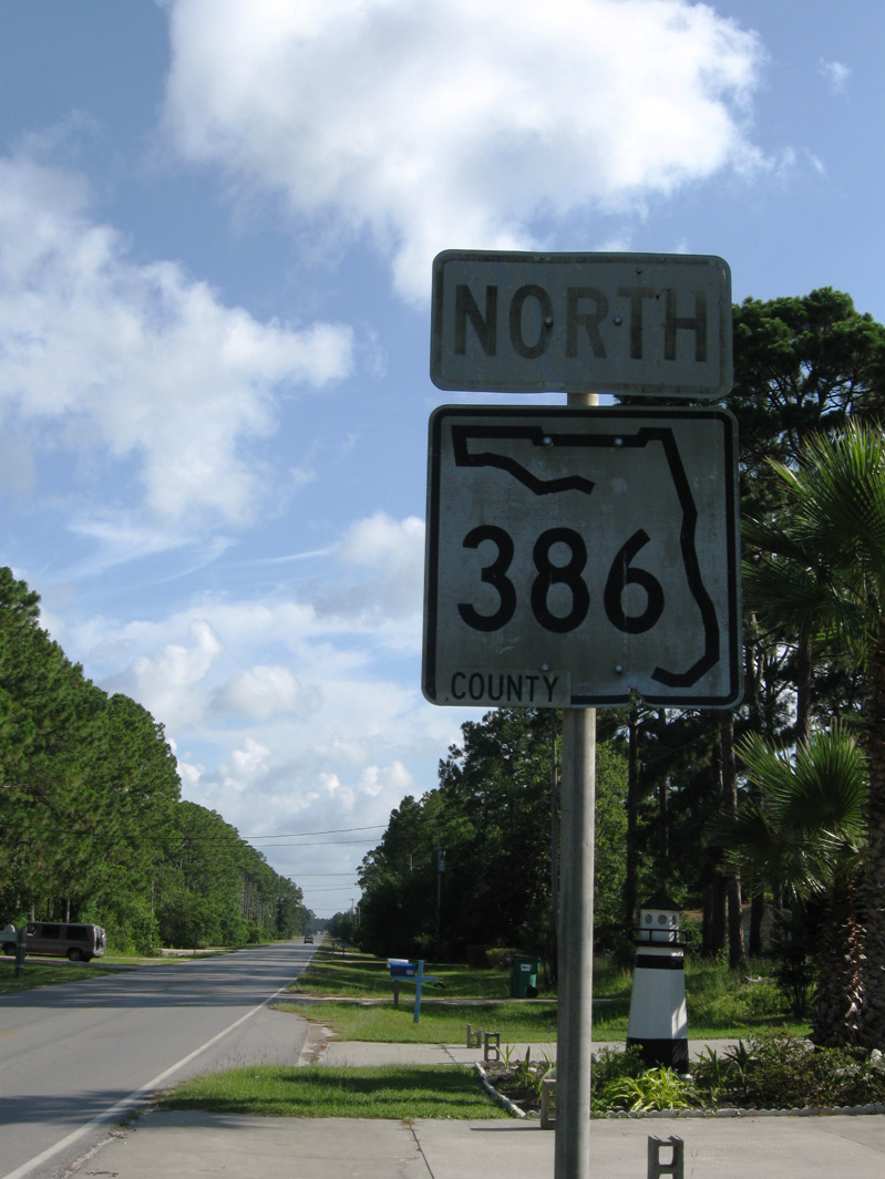
Previous state roads shields for 386 remained in use with a COUNTY decal This assembly was installed in February 1983.
06/27/09
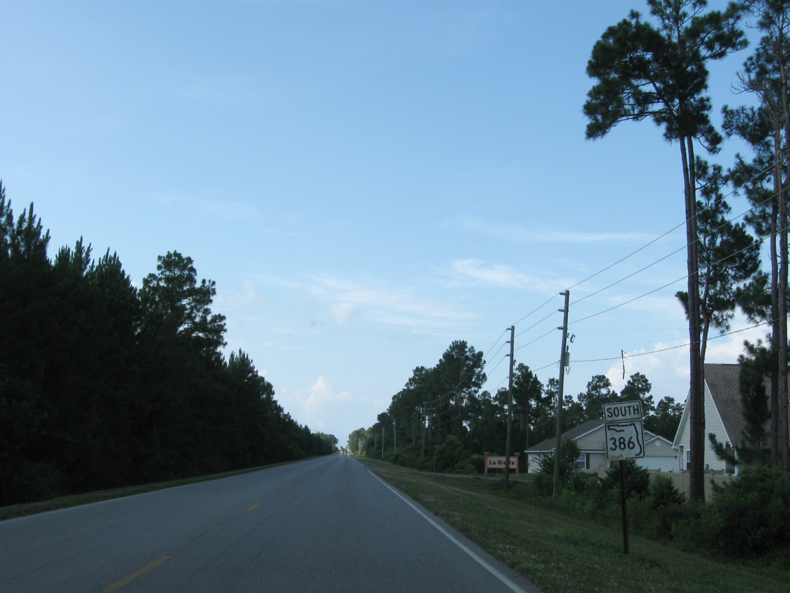
State road reassurance marker for CR 386 southbound posted after unmarked CR 386A (15th Street) west and La Siesta Drive at Mexico Beach. A county road pentagon was added in place of this assembly by 2015
06/27/09
County Road 386 leads south into a residential area along the east side of Mexico Beach. Approaching U.S. 98, this vintage shield from March 1985 was posted until at least 2011.
06/27/09
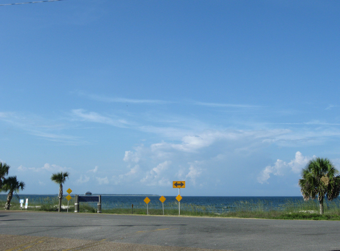
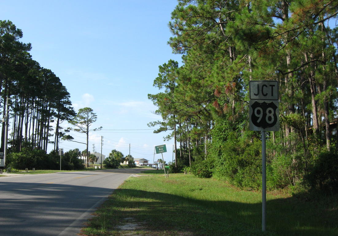
County Road 386 intersects U.S. 98 directly alongside the Gulf of Mexico. U.S. 98 runs directly along the coastline from Mexico Beach to adjacent Saint Joe Beach.
These communities were submerged by nine feet of storm surge on the afternoon of October 10, 2018 by the land falling Hurricane Michael.
06/27/09
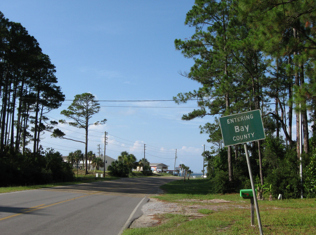
The final 0.112 miles of CR 386 curve into extreme eastern Bay County.
06/27/09
Photo Credits:
- ABRoads: 06/27/09
Connect with:
Page Updated Friday October 12, 2018.