
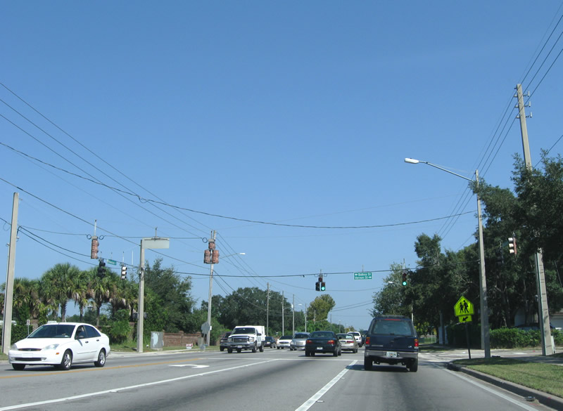
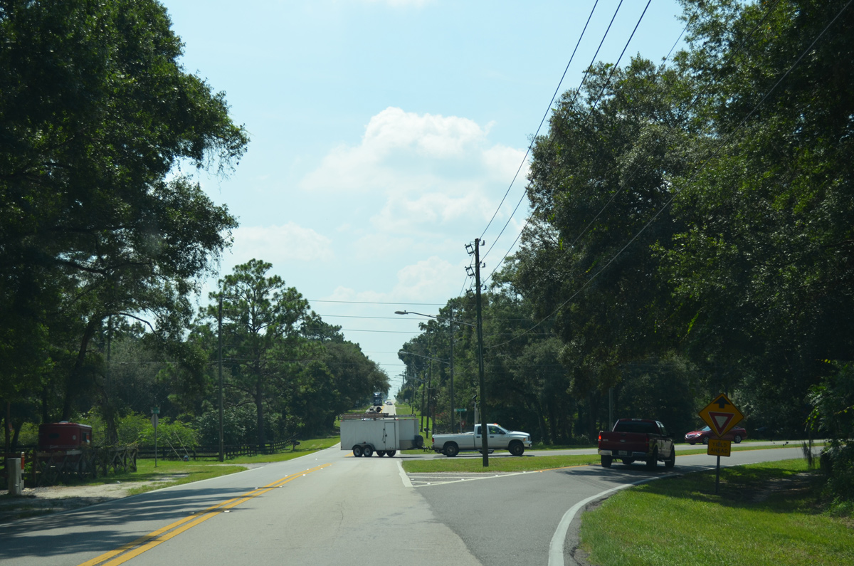
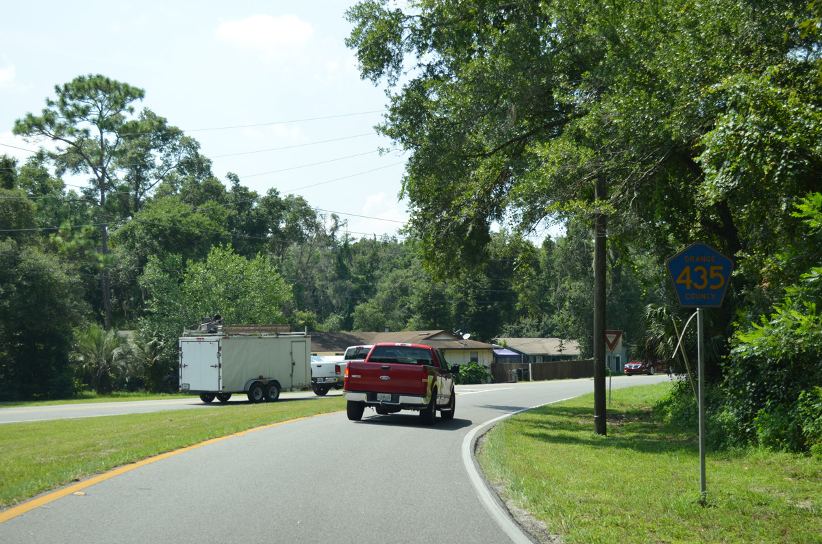
County Road 435 North


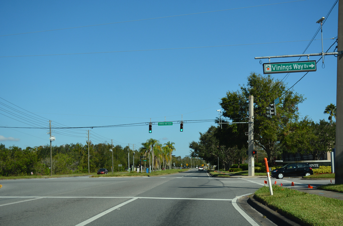
Vinings Way Boulevard loops east into the Cypress Pointe resort area from the subsequent traffic signal along South Apopka-Vineland Road north of CR 535.
11/04/17
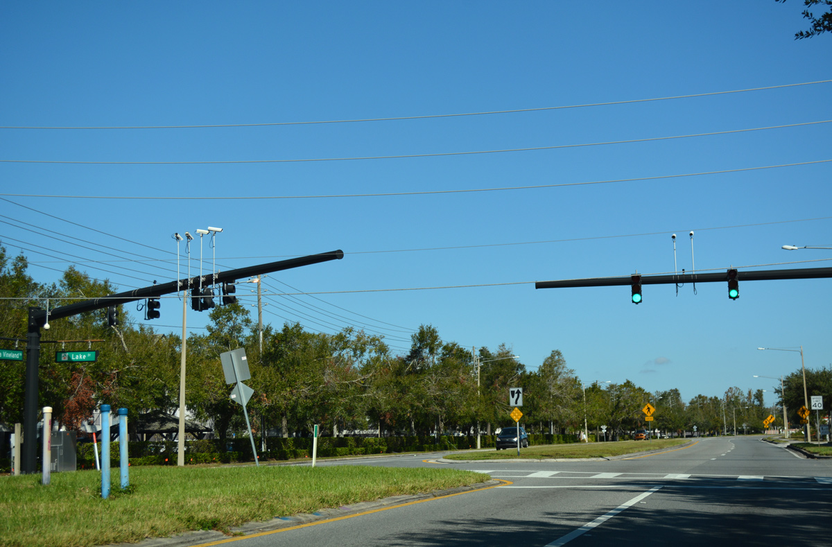
Lake Street stems east from the succeeding signal along South Apopka-Vineland Road east to Palm Parkway near Lake Ruby.
11/04/17
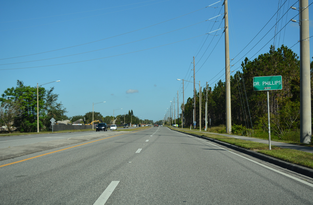
The four lane arterial shifts eastward beyond Lake Ruby and enters the unincorporated community of Dr. Phillips
11/04/17
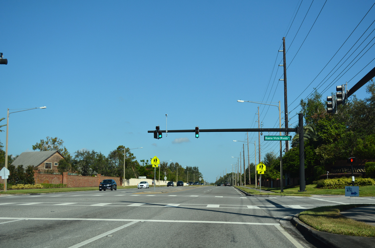
Buena Vista Woods Boulevard loops east around the 2013-16 built Parkside development and returns to South Apopka-Vineland Road at the signalized intersection with Boca Point Drive west.
11/04/17
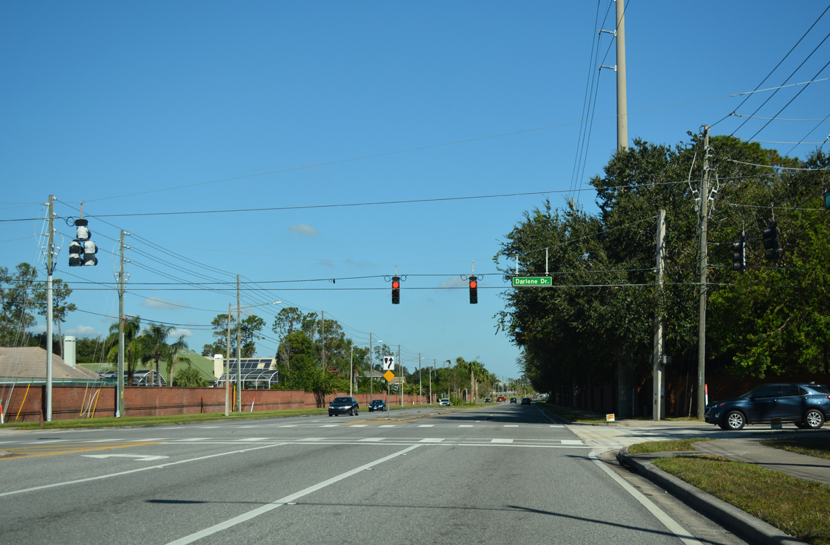
Darlene Drive crosses South Apopka-Vineland Road east from Kilgore Road and Pocket Lake and west from the Sand Lake Point and Bay Vista Estates neighborhoods.
11/04/17
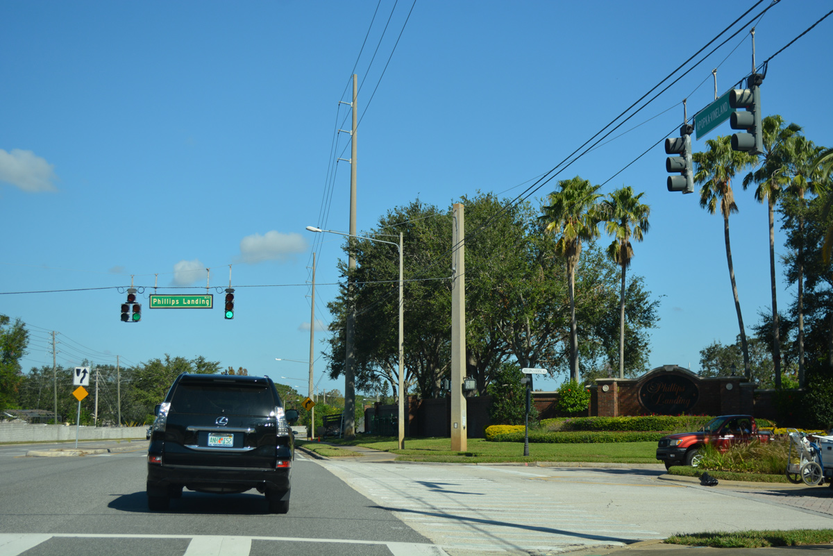
Continuing north through suburban areas between Big Sand Lake and Lake Sheen, South Apopka-Vineland Road meets Phillips Landing Boulevard east and Point Cypress Drive at the ensuing traffic light.
11/04/17
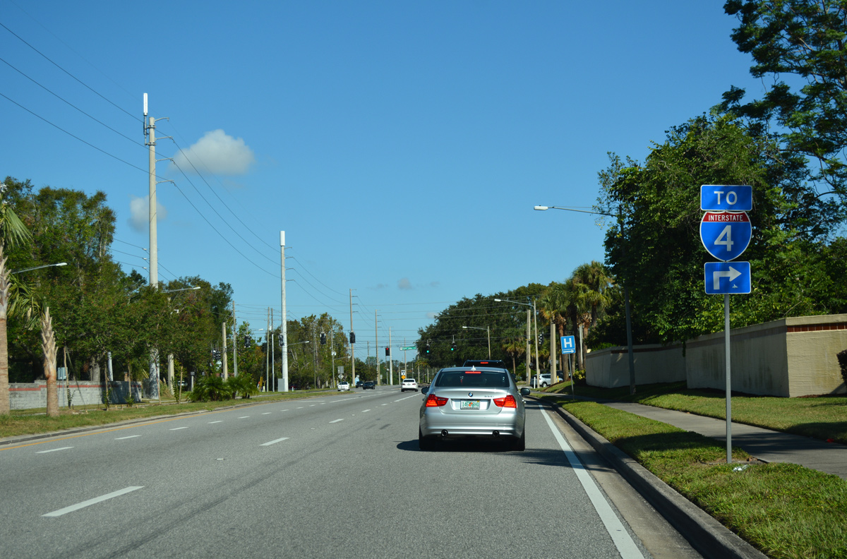
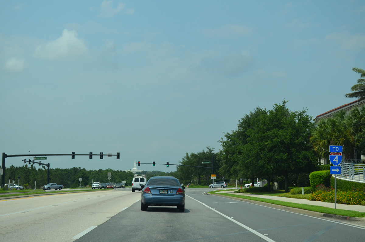
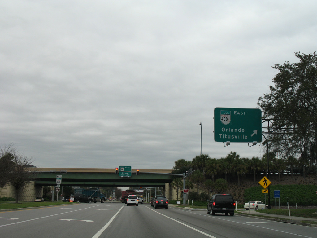
An I-4 trailblazer precedes Sand Lake Road, which extends 1.4 miles east from South Apopka-Vineland Road and Granada Boulevard to the north-south freeway.
11/04/17
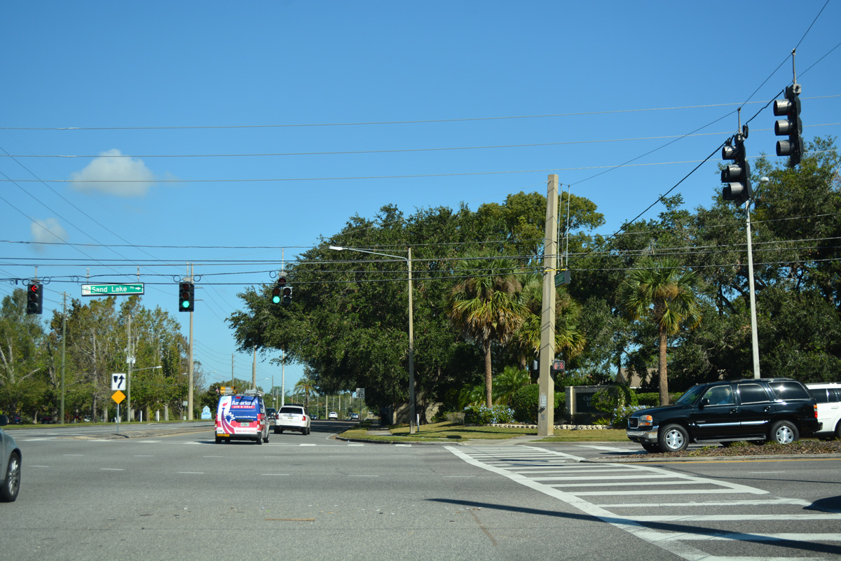
Sand Lake Road constitutes a four to six lane commercial arterial east from Doctor Phillips to areas of Orlando, Florida Mall and Pine Castle. SR 482 follows the arterial east from I-4 to Belle Isle.
11/04/17
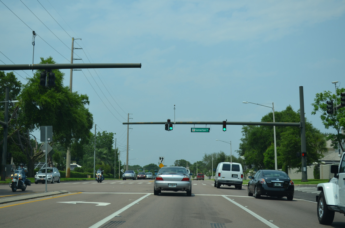
Advancing north from Sand Lake Road, the next signal operates at Bay Hill Boulevard west to the Bay Hill golf course community along Lake Tibet and Somerton Boulevard.
04/26/15
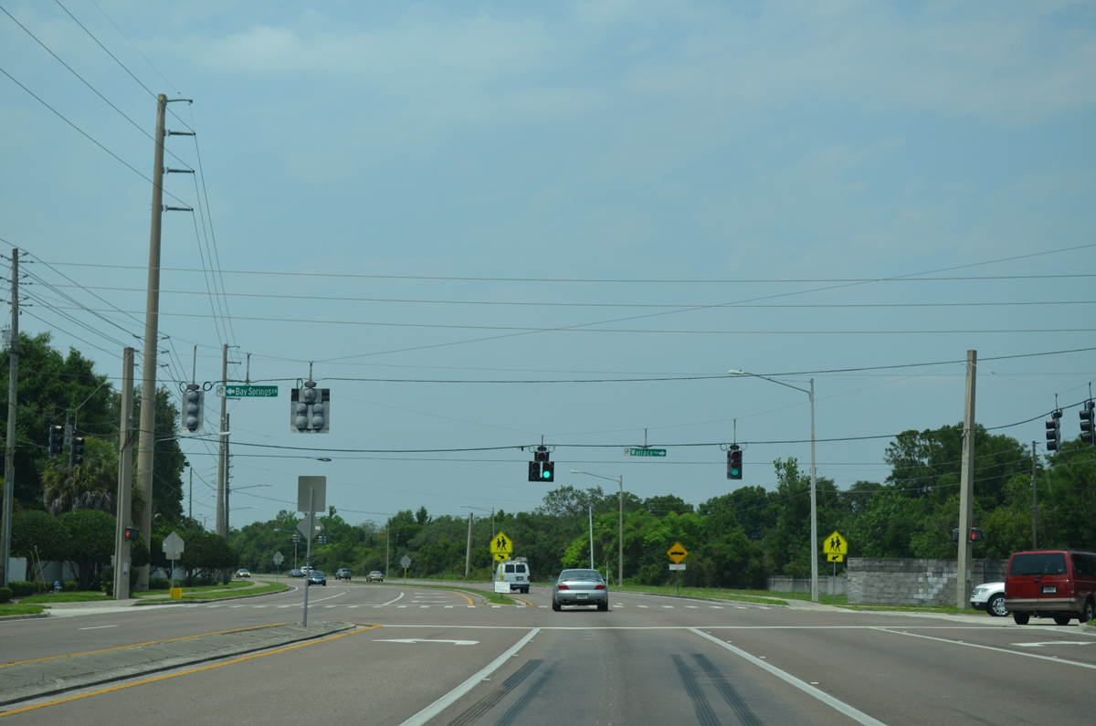
Wallace Road runs east from South Apopka-Vineland Road and Bay Springs Drive to the Orange Tree Country Club and Golf Course community and Turkey Lake Road near Universal Orlando.
04/26/15
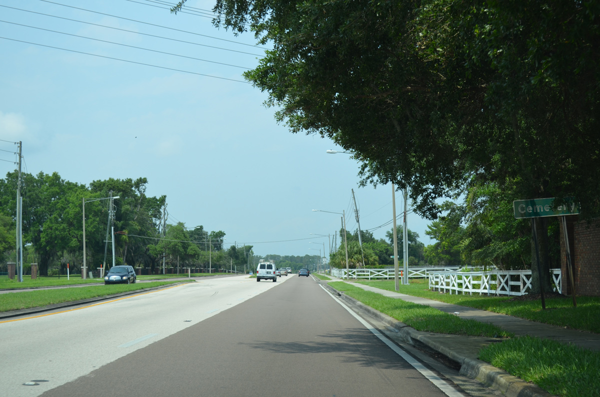
A vintage button copy sign references Dr. Phillips Cemetery along South Apopka-Vineland Road northbound ahead of Palm Lake Drive.
04/26/15
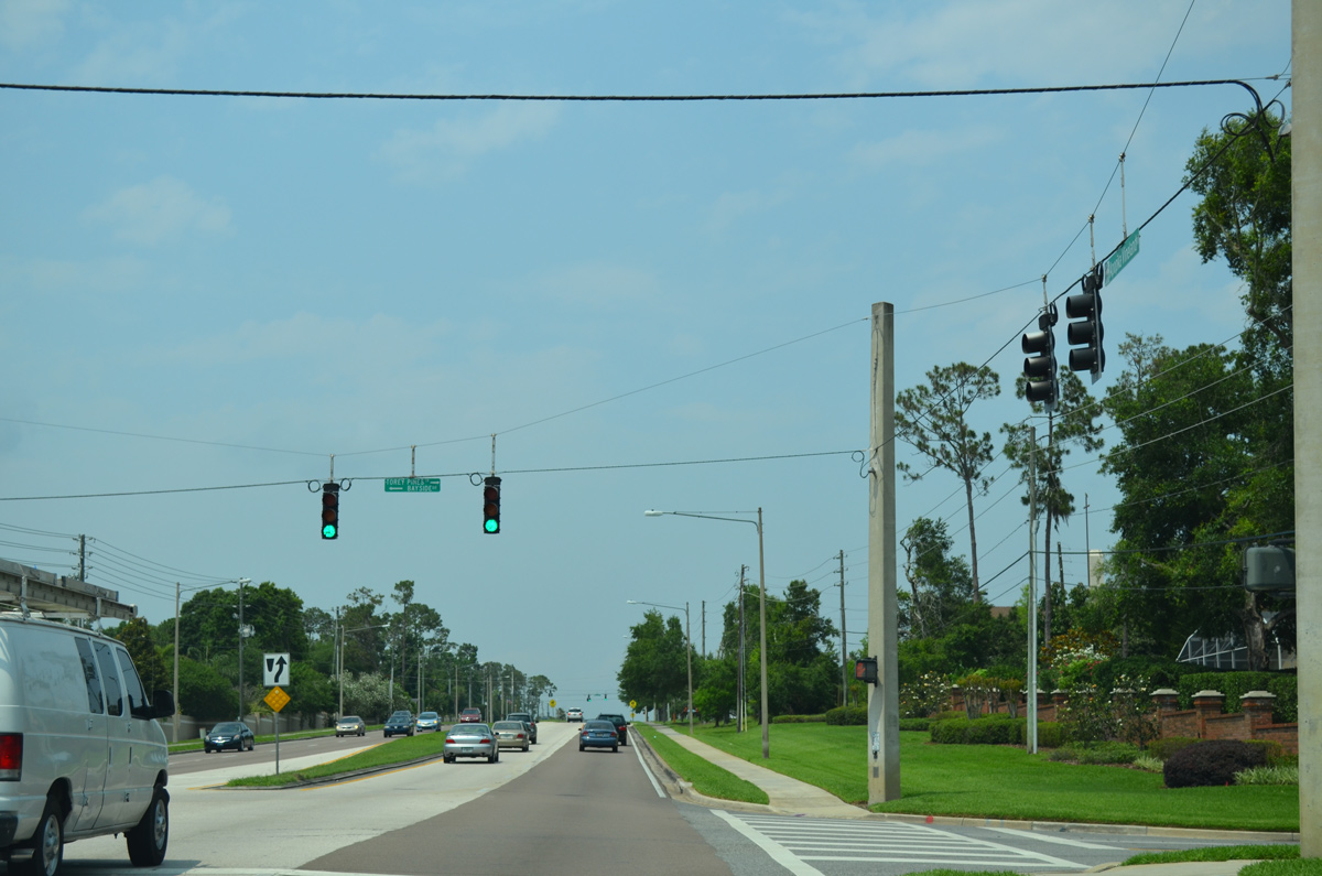
South Apopka-Vineland Road curves westward between the Bay Hill and Sand Lake Hills neighborhoods toward Lake Blanche. A traffic light follows at the residential streets of Bayside Drive west and Torey Pines Terrace east.
04/26/15
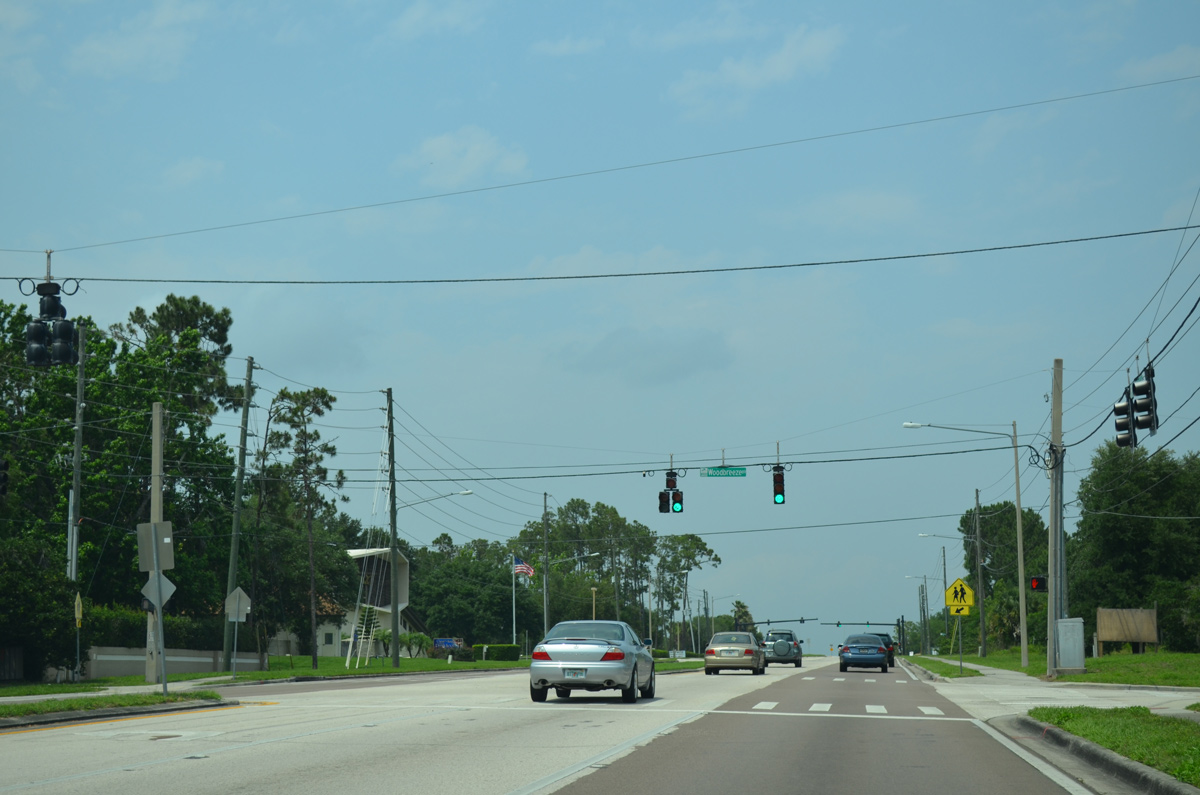
A signalized intersection connects South Apopka-Vineland Road with Woodbreeze Boulevard west into the Silver Woods subdivision and the entrance to Holy Family Catholic Church.
04/26/15
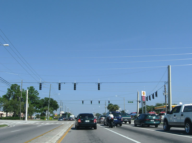
Motorists along South Apopka-Vineland Road north next enter the commercialized intersection with Conroy Windermere Road (unsigned CR 439). CR 439 leads west between Lakes Bessie and Down into the town of Windermere and east to Shadow Bay Park and Turkey Lake Road south. Conroy Road extends the arterial east to SR 435 (Kirkman Road) and I-4.
04/26/15
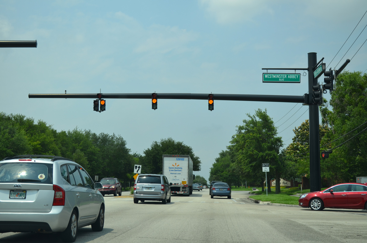
Four-lane expansion of South Apopka-Vineland Road in 2001 included an eastward realignment to circumvent Lake Down. The arterial rejoins its original right of way ahead of Westminster Abbey Boulevard east into the Westminster Landing subdivision.
04/26/15
Continuing 0.7 miles north from Windy Ridge Road, South Apopka-Vineland Road meets Westover Roberts Road west to Hempel Avenue near Lake Olivia.
04/26/15
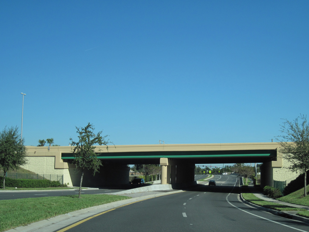
Curving northeast, South Apopka-Vineland Road passes below Florida's Turnpike. Prior to 2004, the road made an S-curve onto what is now Wilkening Farm Road.
12/04/10
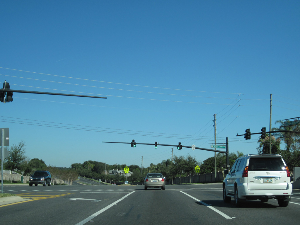
Wilkening Farm Road loops west from South Apopka-Vineland Road as the former two lane alignment to Gotha Road. Steer Lake Road heads east to Metro West.
12/04/10
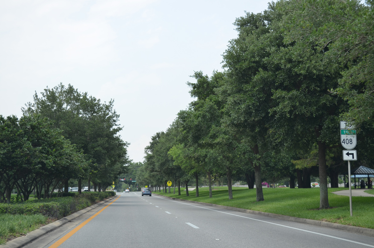
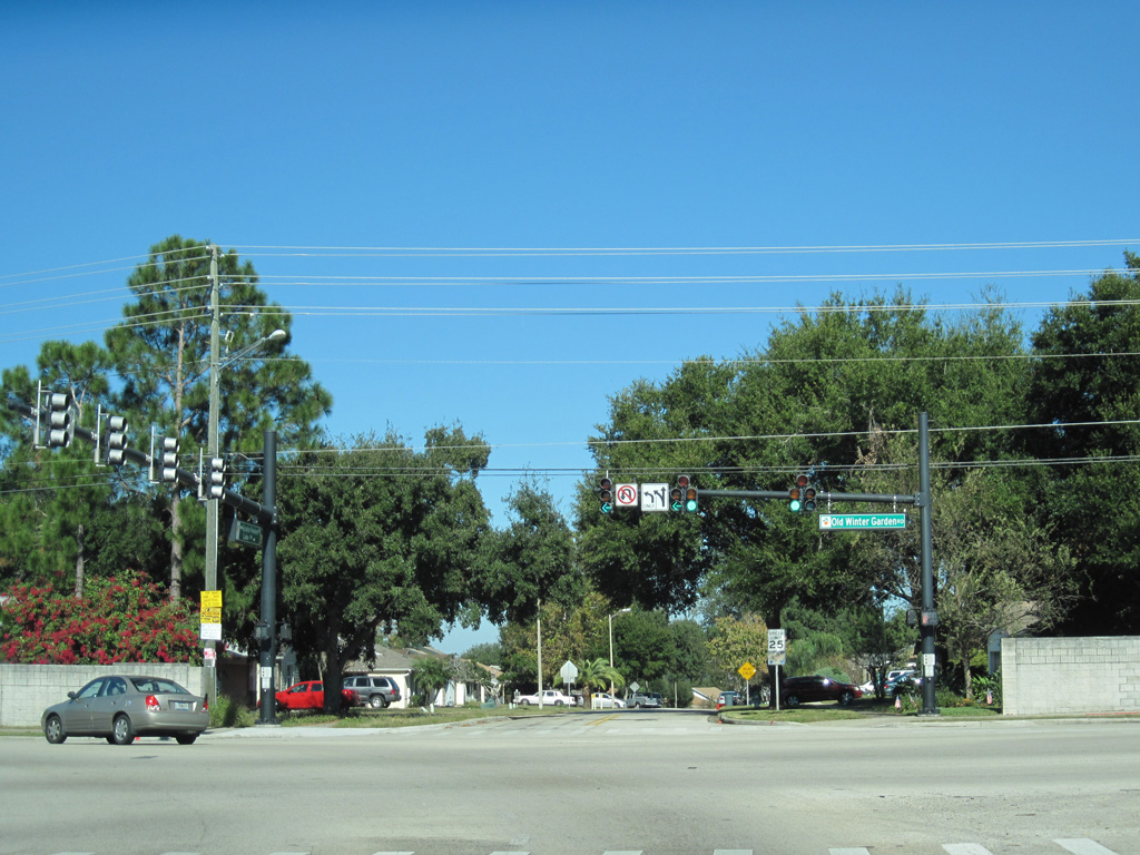
South Apopka-Vineland Road winds northeast between Steer Lake and Lake Rose and concludes at Old Winter Garden Road (unsigned County Road 526).
04/26/15
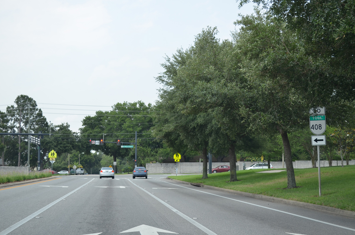
SR 408 trailblazers posted by Rose Place Park direct motorists westward along Old Winter Garden Road to Good Homes Road north for the East-West Expressway.
04/26/15
There is no direct connection with North Apopka-Vineland Road, instead motorists must navigate west on CR 526 to Good Homes Road north and SR 50 east to continue north.
12/04/10
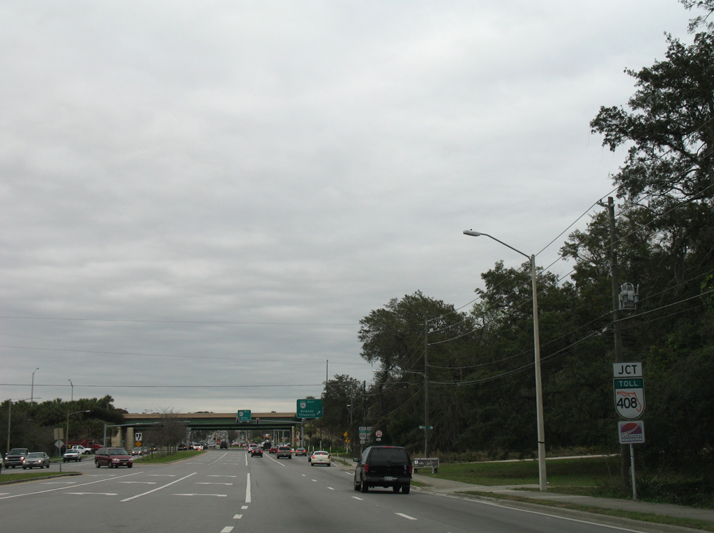
Hiawassee Road meets the tolled East-West Expressway at a diamond interchange a quarter mile south of SR 50 (Colonial Drive) and CR 435.
02/08/08
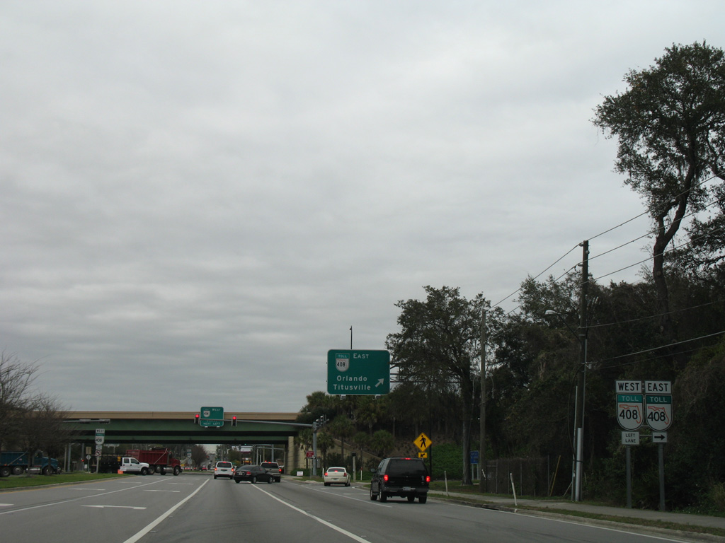
SR 408 parallels SR 50 (Colonial Drive) east to Downtown Orlando and Union Park in eastern Orange County.
02/08/08
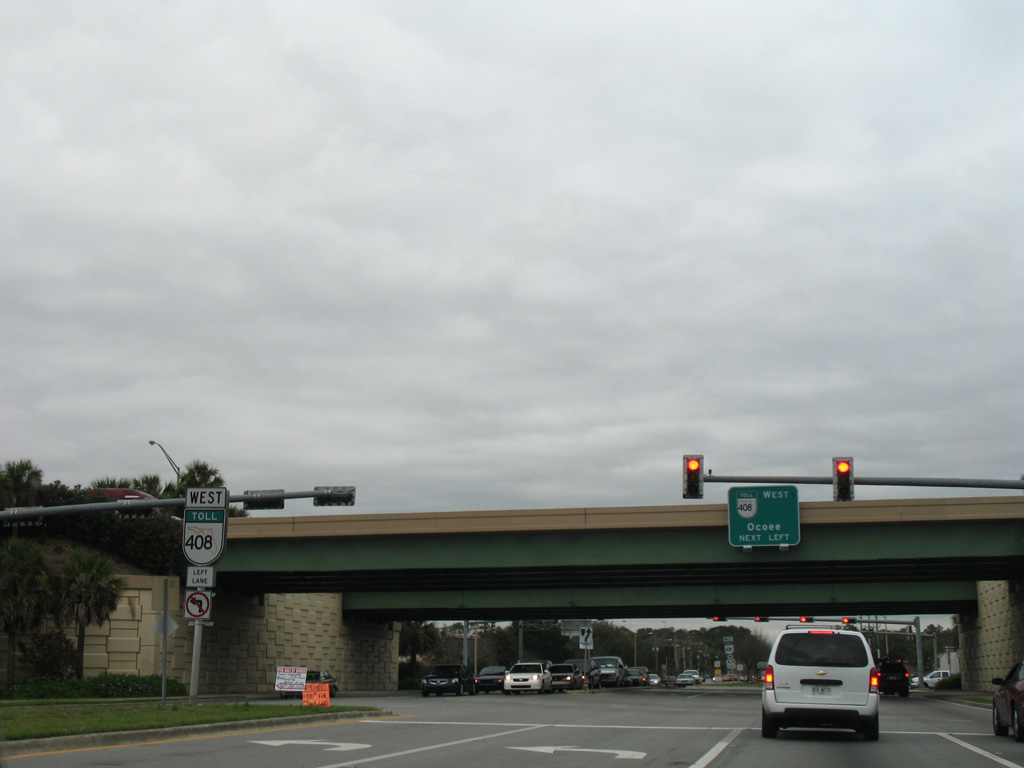
SR 408 travels 4.7 miles west from Hiawassee Road to merge with Florida's Turnpike north through Ocoee.
02/08/08

Hiawassee Road north at SR 50 (W Colonial Drive). County Road 435 overtakes the next 1.7 miles of the arterial north.
02/08/08
Orange County Road 435, unsigned northward from SR 50, ascends to the intersection with Balboa Drive. Balboa Drive comprises a two lane residential through route west to Good Homes Road.
10/02/08
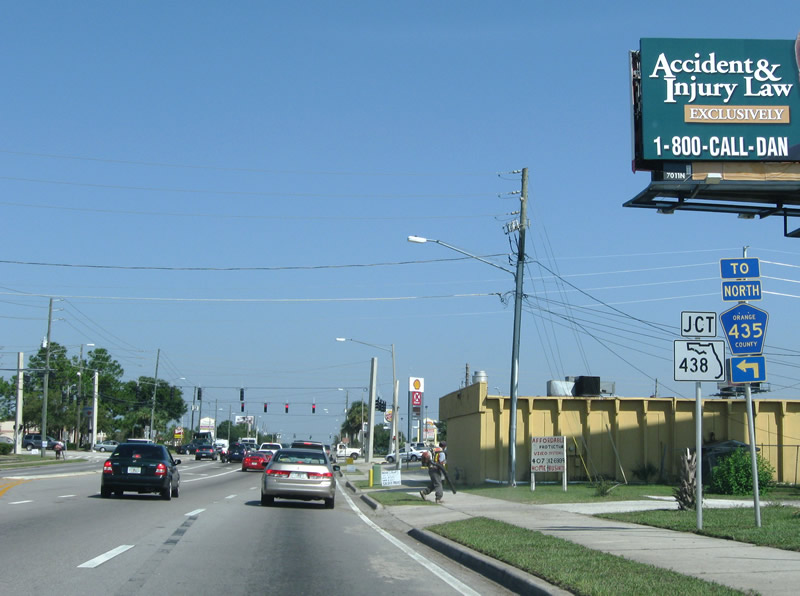
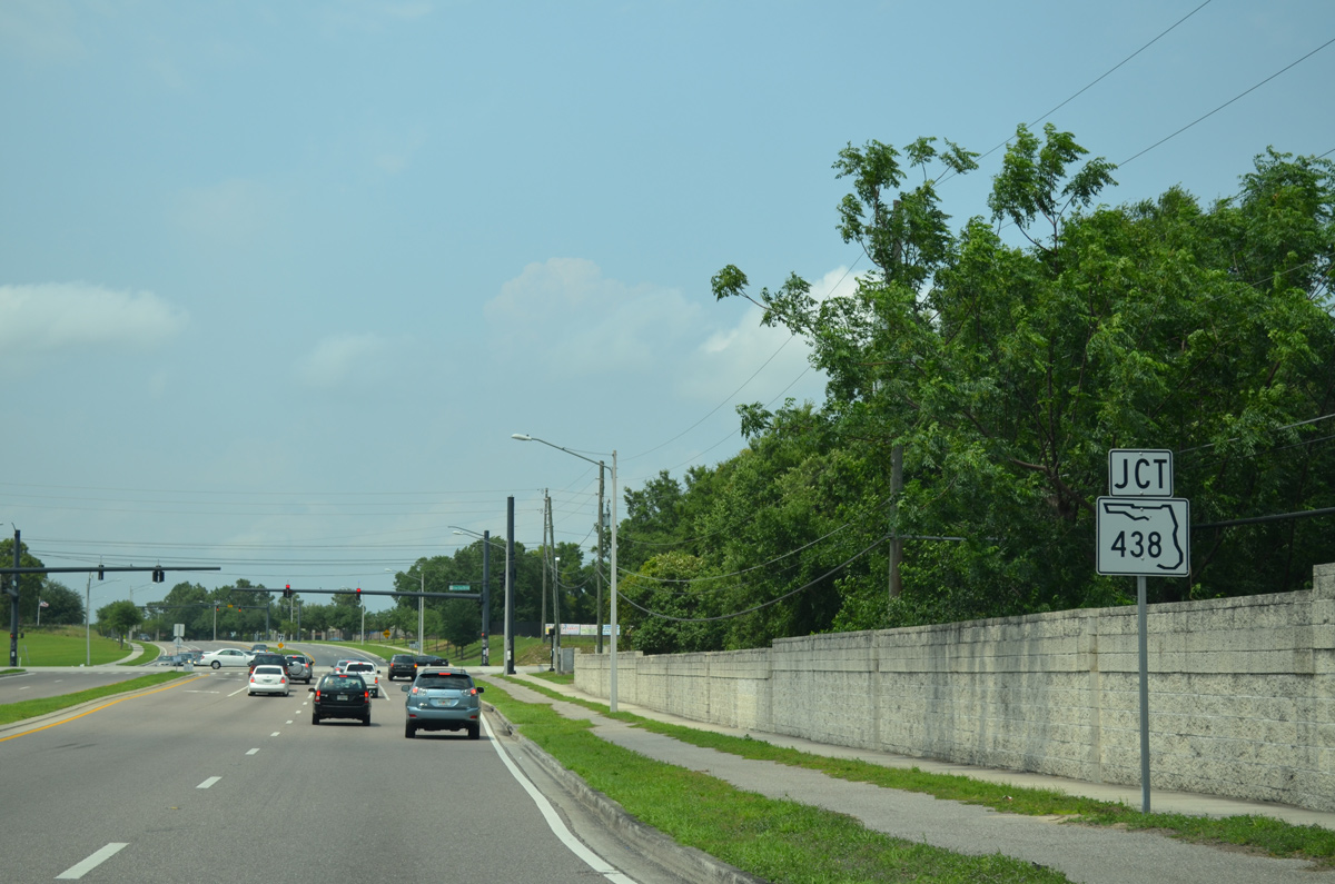
Orange County Road 435 dog legs west from Hiawassee Road to Apopka-Vineland Road north via SR 438 (Silver Star Road). Hiawassee and Silver Star intersect by a pair of older shopping centers
10/02/08
SR 438 leads west to Ocoee and east to Orlando and U.S. 441 (Orange Blossom Trail) at Fairvilla. The arterial varies between four and six lanes. Hiawassee Road meanwhile continues north to SR 414 (John Land Apopka Expressway) and Apopka.
10/02/08
North Apopka-Vineland Road winds north from SR 50 (West Colonial Drive) near West Oaks and Lake Sherwood to become a part of CR 435 north of SR 438 (Silver Star Road).
04/26/15

North Apopka-Vineland Road reduces to two lanes beyond A.D. Mims Road. A.D. Mims Road leads west into the city of Ocoee to Jim Beech Recreation Center and Wurst Road.
04/26/15
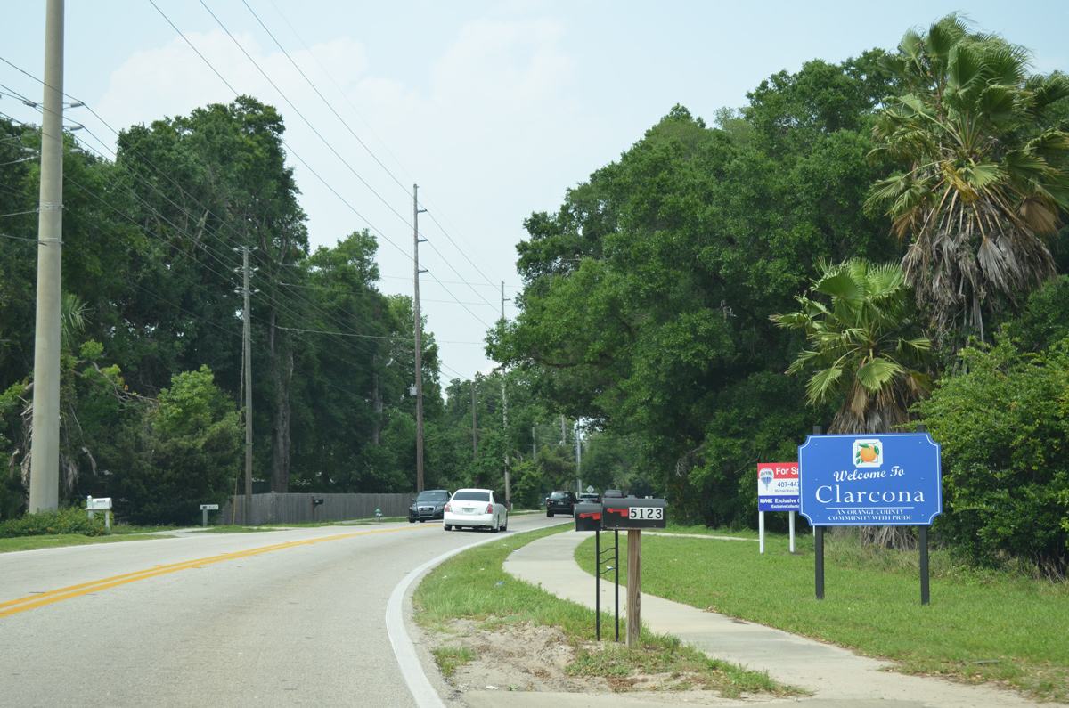
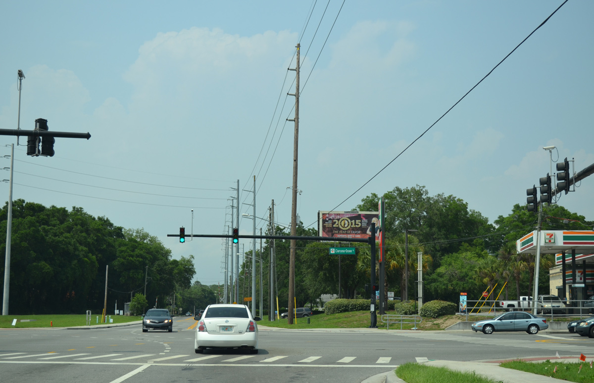
Unsigned CR 435 advances 1.5 miles north from A.D. Mims Road to intersect Clarcona Ocoee Road within unincorporated Clarcona.
04/26/15
Clarcona Ocoee Road was expanded into a four lane arterial east from CR 435 in 2011-12 and west to SR 429 (Western Beltway) by 2014.
04/26/15
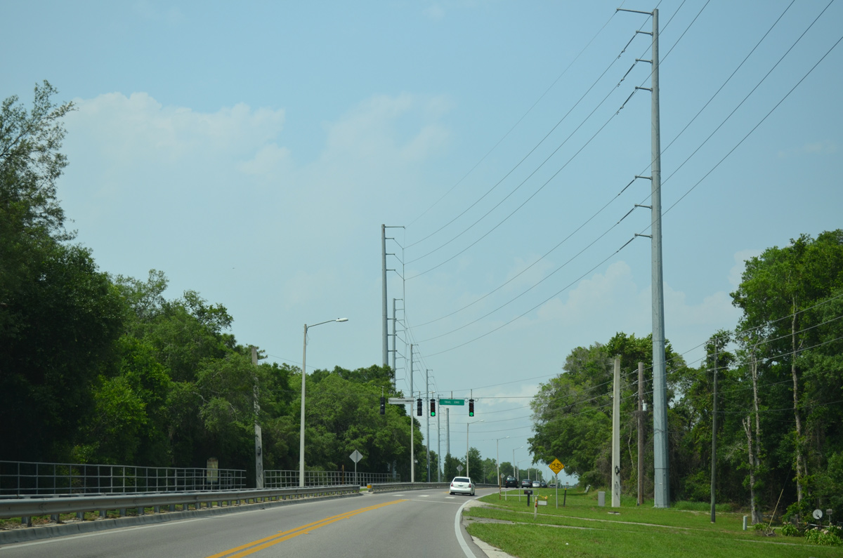
North from Clarcona-Ocoee Road, North Apopka-Vineland Road enters a wooded area and crosses the West Orange Trail.
04/26/15

North Apopka-Vineland Road becomes Clarcona Road north from McCormick Road. Still with just two lanes, unsigned CR 435 advances north to Keene Road, which connects to SR 414 (Apopka Expressway) east to Maitland.
04/26/15
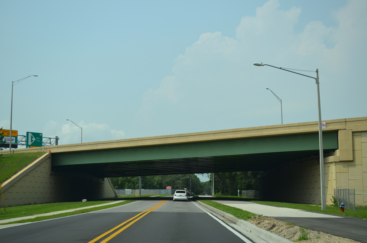
Clarcona Road passes under SR 414 (Apopka Expressway) through south Apopka.
04/26/15

North into the city of Apopka, CR 435 follows Clarcona Road to 12th Street, where Park Avenue takes over to Downtown. Park Avenue intersects Fifth Street at a set of span-wire supported signals.
04/26/15
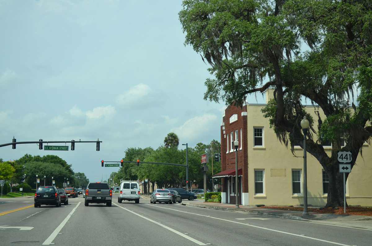
Park Avenue meets U.S. 441 (Main Street) one block north of Fifth Street. U.S. 441 follows Orange Blossom Trail northwest from Apopka to Mt. Dora and southeast to Lockhart.
04/26/15
Votaw Road stems east from Park Avenue and Dream Lake Park to Wekiva Springs Road through unincorporated areas northeast of Apopka.
07/31/14
The ensuing signal connects Park Avenue with a pair of schools and Summit Street west to the Dream Lake and Summerset neighborhoods.
07/31/14
Markin Street heads east from Vick Road and Apopka High School to meet Park Avenue across from Tanglewilde Street east to Lake McCoy.
07/31/14
 Rock Springs Road - North
Park Avenue transitions to Rock Springs Road between Albatross Street and Wekiva Pines Boulevard by the Apopka Terrace community. The five lane boulevard north next intersects Welch Road east to Wekiwa Springs State Park and west to Vick Road at Errol Golf Course.
07/31/14
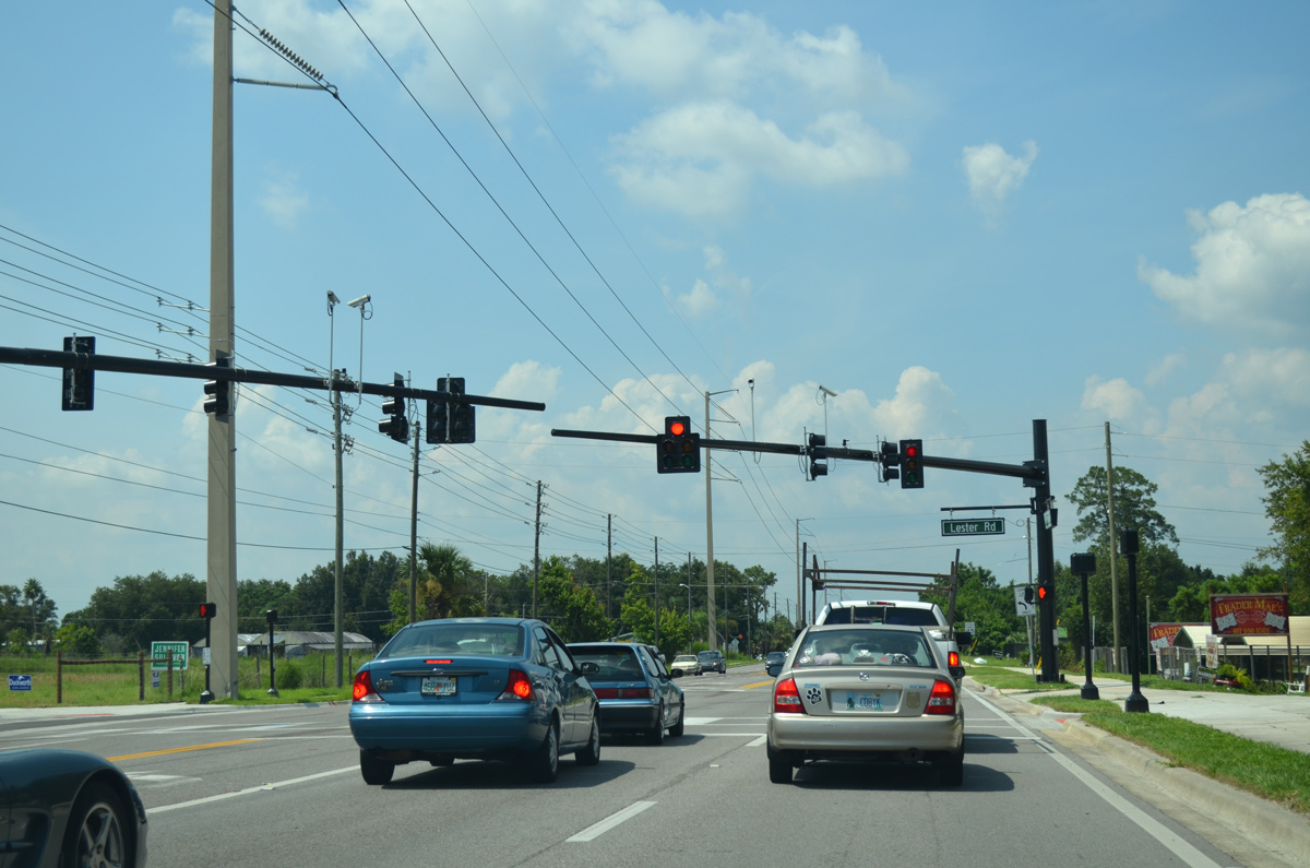
Progressing a half mile further north, Rock Springs Road intersects the east end of Lester Road by 675-unit Rock Springs manufactured homes community.
07/31/14
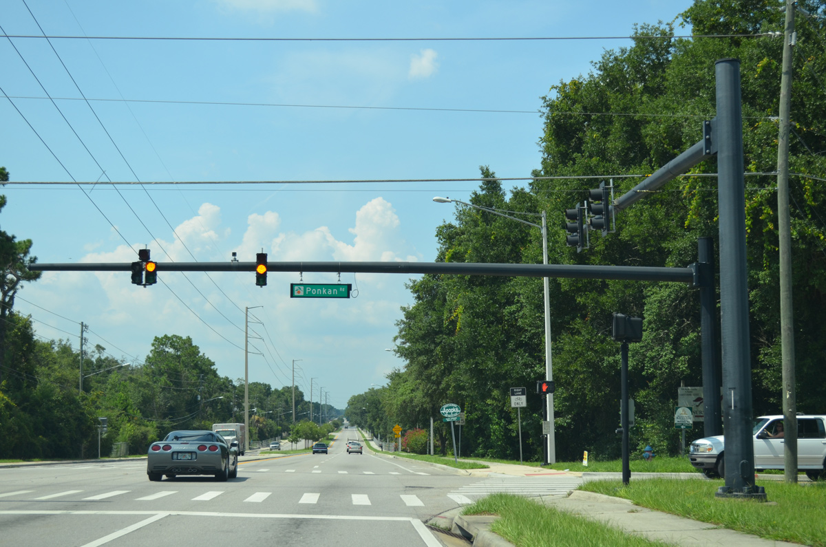
Rock Springs Road gains a landscaped median northward to Ponkan Road. Ponkan Road is a rural two lane road traveling west across north Apopka tp U.S. 441 (Orange Blossom Trail) at Zellwood.
07/31/14
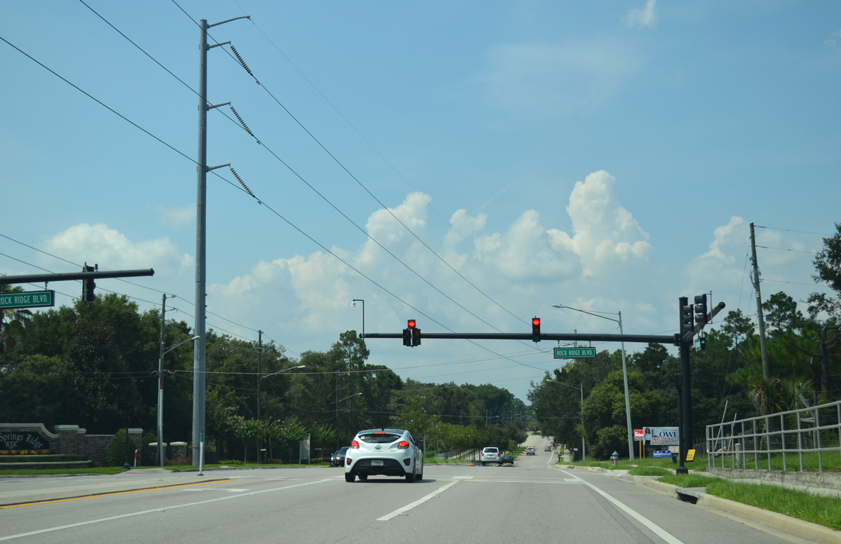
Rock Ridge Boulevard provides one of two entrances to the sprawling Rock Springs Ridge golf course community, located between Rock Springs Road and Jason Dwelley Parkway.
07/31/14
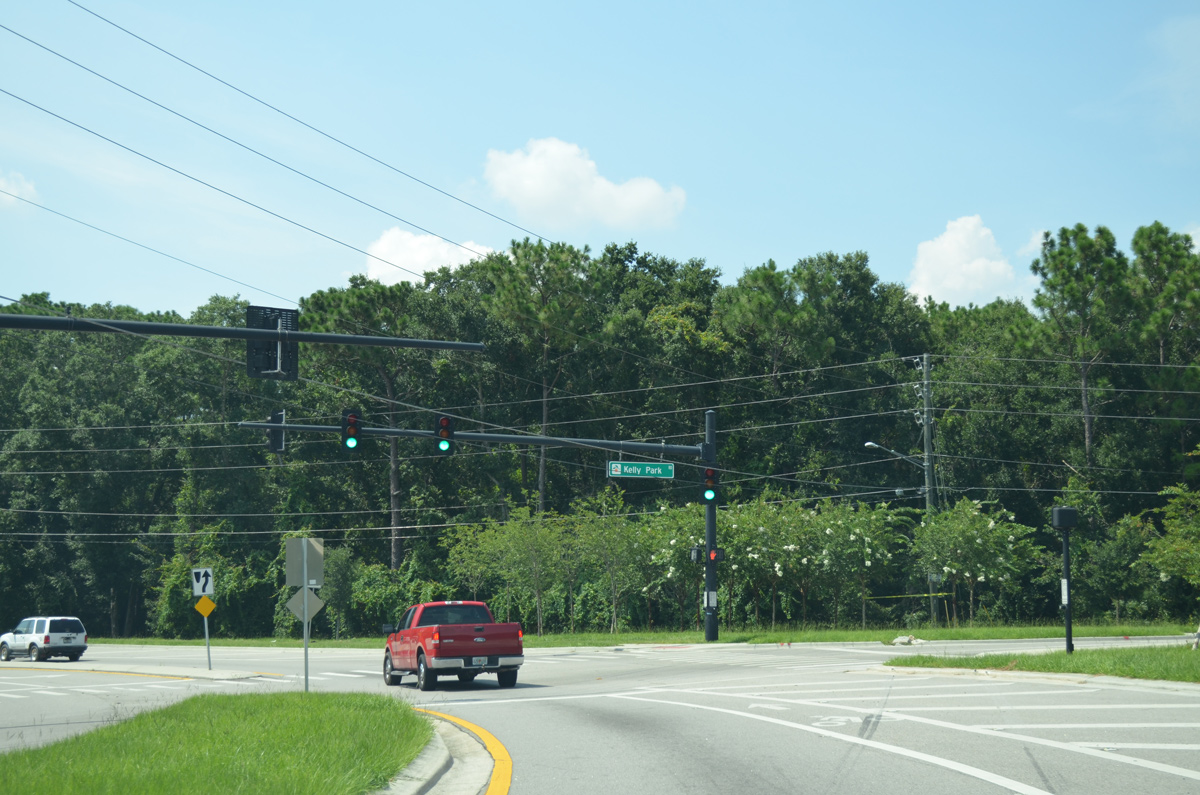
County Road 435 turns west along Kelly Park Road from the north end of Rock Springs Road to Mt. Plymouth Road. Kelly Park Road spurs east to Kelly Park / Rock Springs.
07/31/14
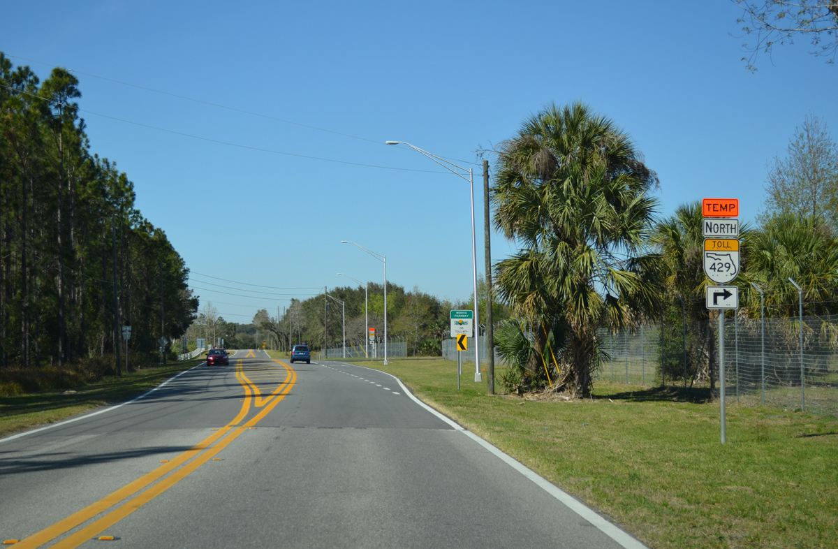
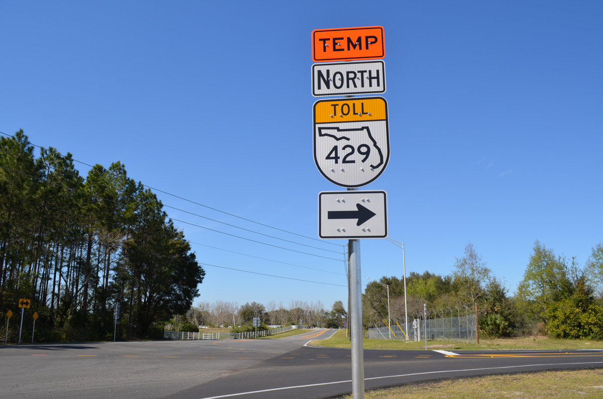
CR 435 turns northwest onto Mt. Plymouth Road to Lake County. Kelly Park Road continues west to CR 437 (Plymouth Sorrento Road) and SR 429 (Wekiva Parkway).
07/31/14
A County Road 435 reassurance marker stands along the ramp from Kelly Park Road west to Mt. Plymouth Road north.
07/31/14
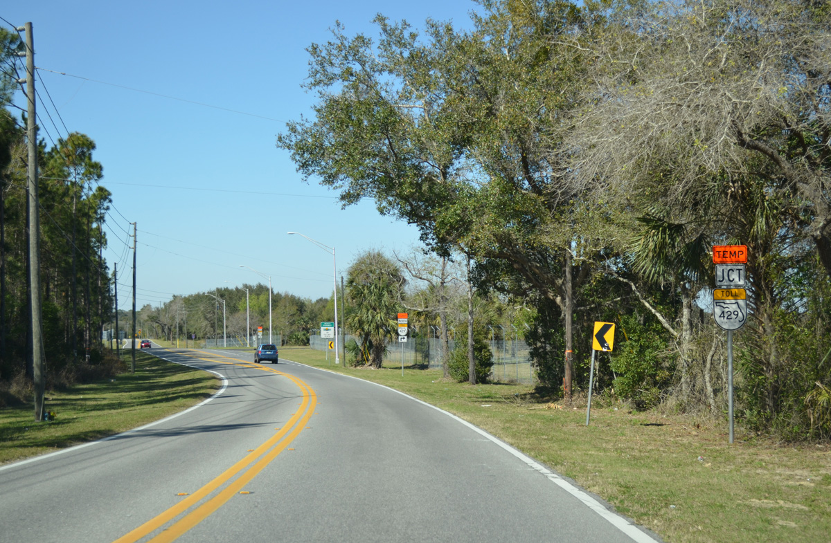
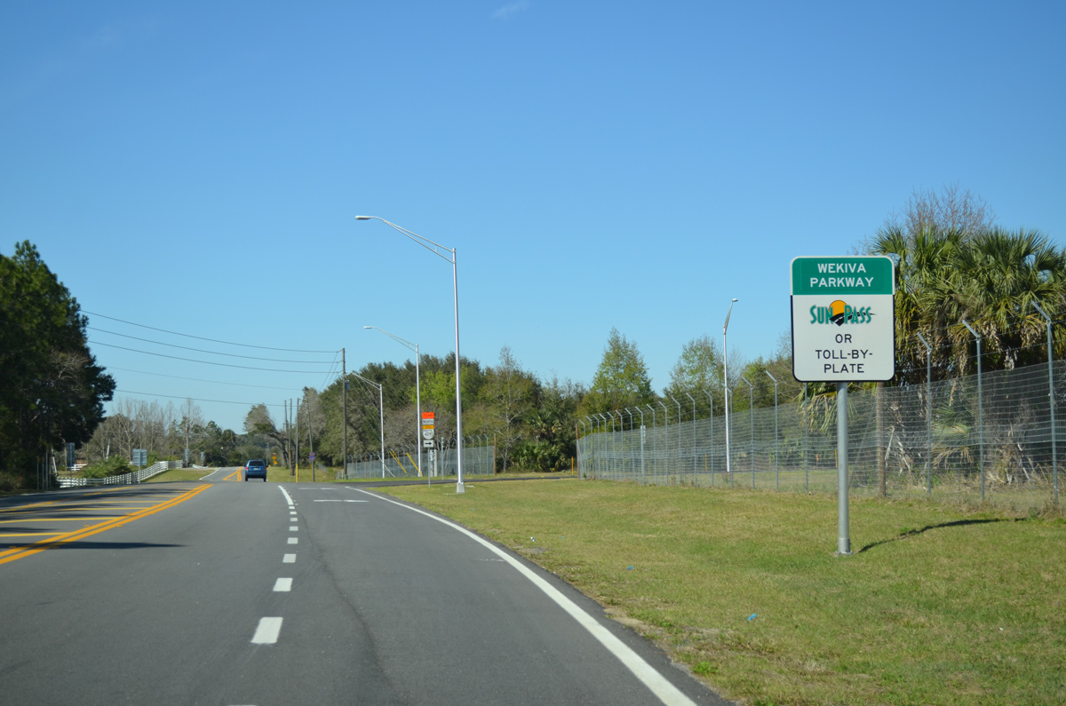
A temporary ramp connected County Road 435 (Mt. Plymouth Road) with Section 4A of the Wekiva Parkway. The 2.8 mile toll road opened from Mt. Plymouth Road northeast to SR 46 on January 20, 2016.
02/27/16
The temporary ramp linking Mt. Plymouth Road with Wekiva Parkway permanently closes on March 31, 2018, when Sections 2B and 2A open from CR 435 southwest to Kelly Park Road.
02/27/16
Confirming marker for Lake County Road 435 posted north of Wekiva Parkway. Mt. Plymouth Road has yet to cross into Lake County.
02/27/16
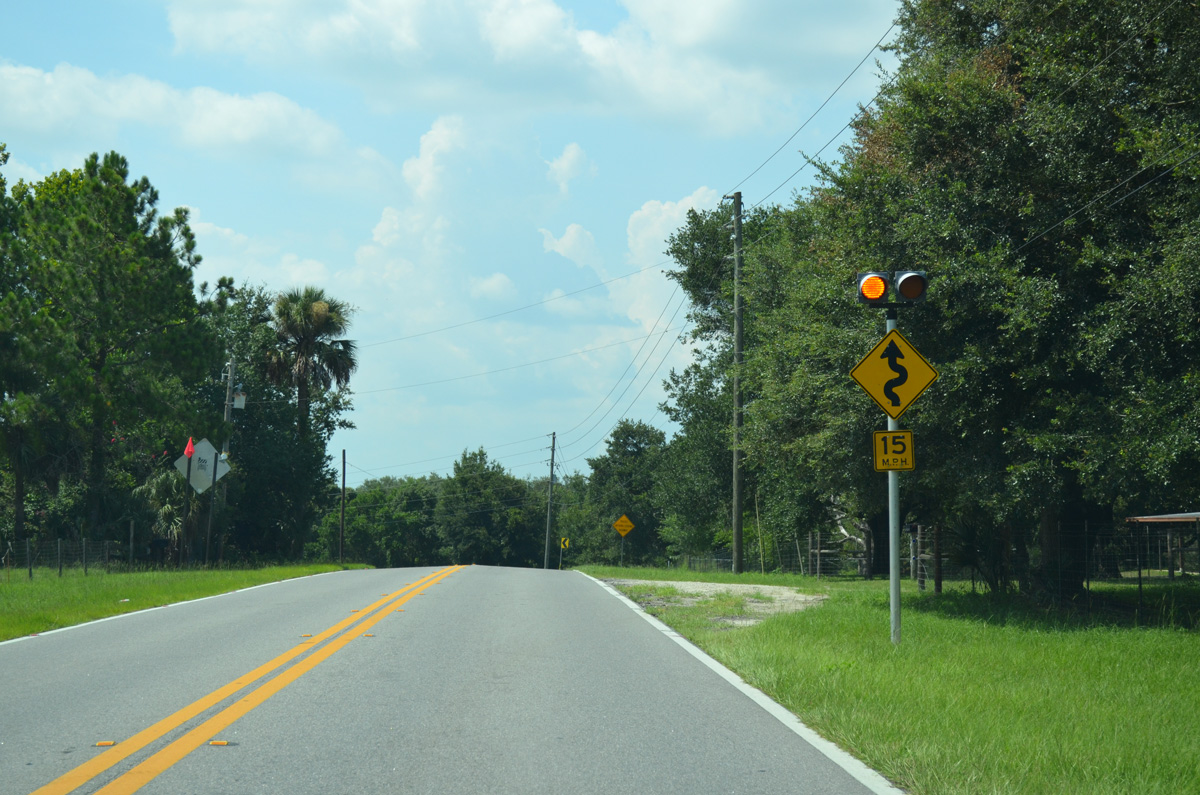
A series of S-curves leads CR 435 north by a nursery and St. Johns River Water Management Land to the Lake County line.
07/31/14
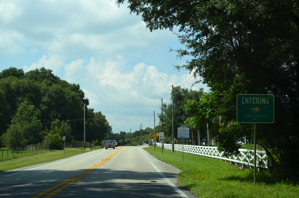
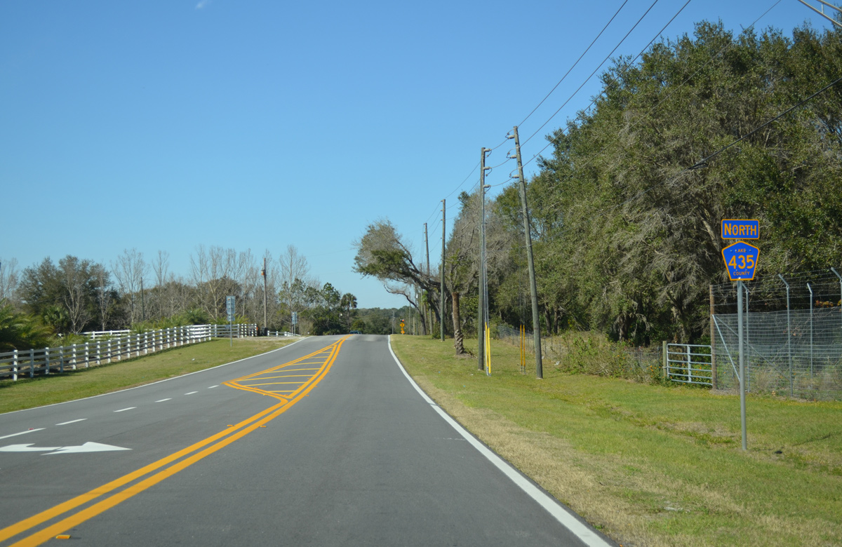
County Road 435 turns north again and crosses the Lake County line into the Mt. Plymouth community.
07/31/14
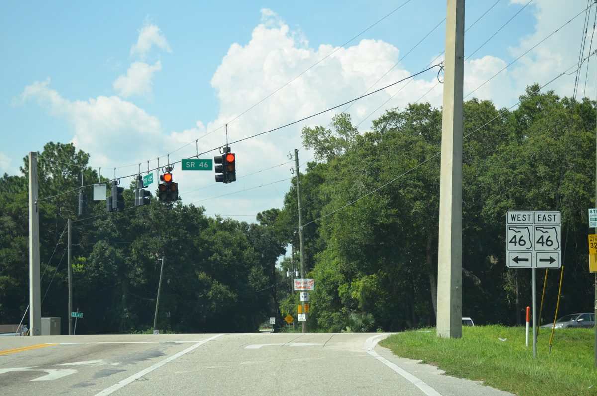
Lake County Road 435 winds northward 1.75 miles through Mt. Plymouth Road to end at SR 46.
07/31/14
Photo Credits:
- Alex Nitzman: 02/08/08, 10/02/08, 11/04/17
- ABRoads: 12/04/10, 07/31/14, 04/26/15, 02/27/16
Connect with:
Page Updated Friday March 23, 2018.