
County Road 476


County Road 476 stretches 19.70 miles east across northern Hernando County, from U.S. 19 (Commercial Way) through Royal Highlands, Lake Lindsey and Nobleton. The rural highway continues into Sumter County another 9.32 miles to CR 48 and CR 476A in Bushnell. A second segment of CR 476 runs 3.16 miles east from U.S. 301 in Bushnell to SR 471.
 East
East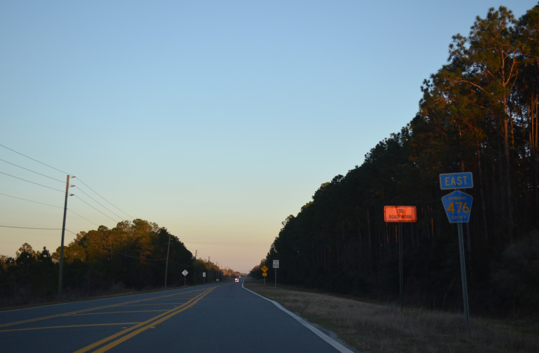
The eastbound beginning of Hernando County Road 476 takes the county road by Annutteliga Hammock Preserve through the unpaved street grid of Royal Highlands.
02/15/14

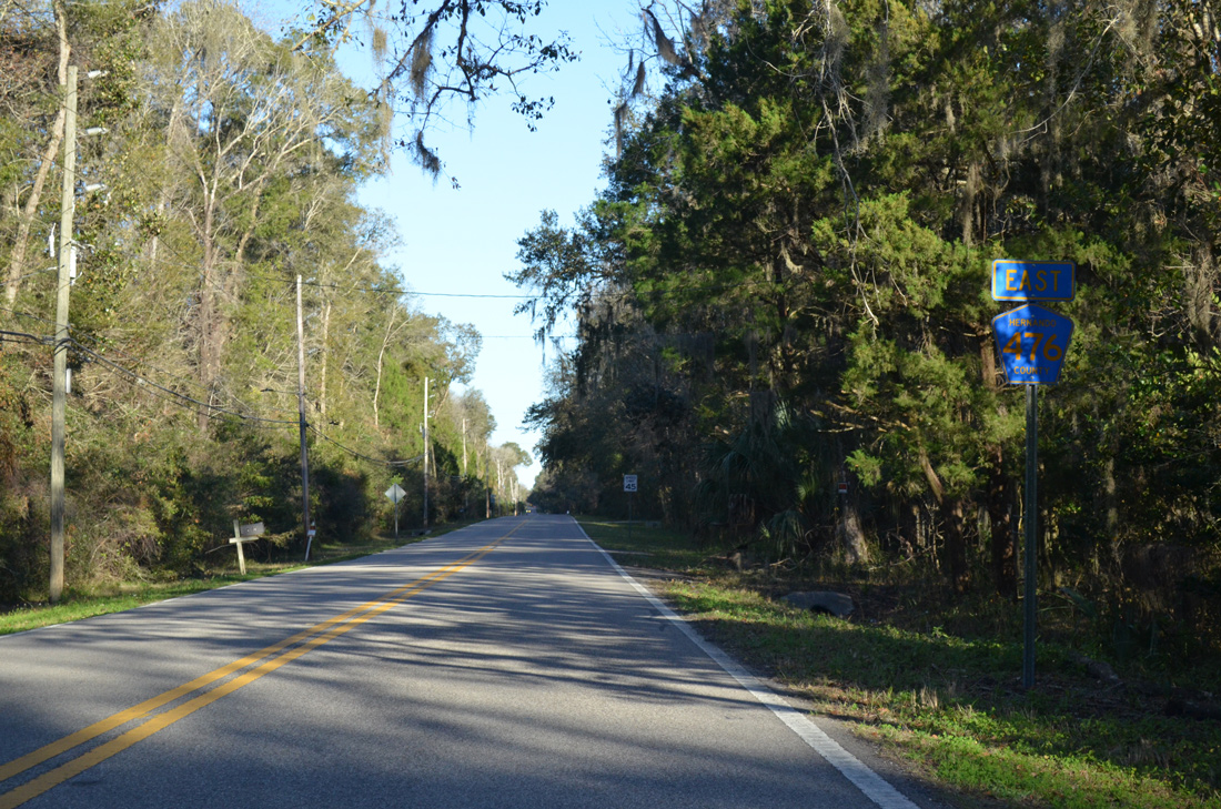
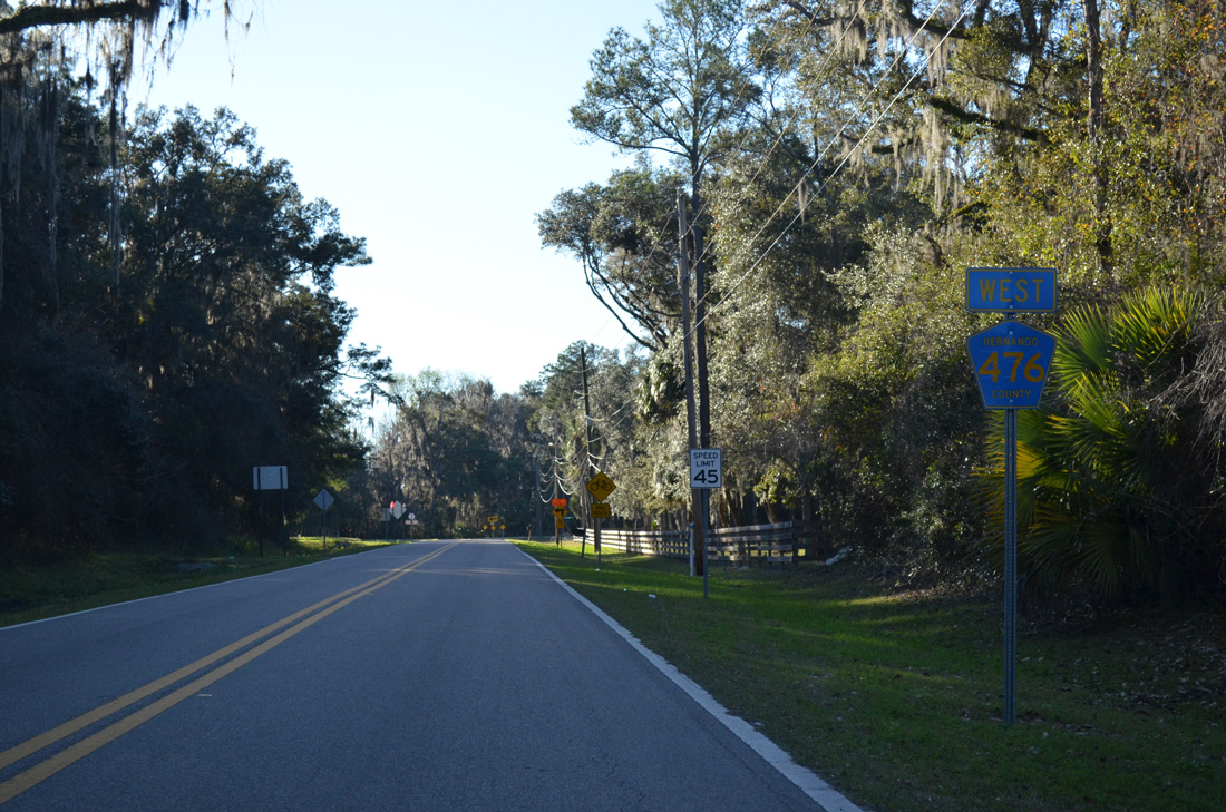
Just over three miles further east, County Road 476 (Centralia Road) intersects the north end of County Road 493 (Sunshine Grove Road). This shield is posted after the junction.
02/15/14
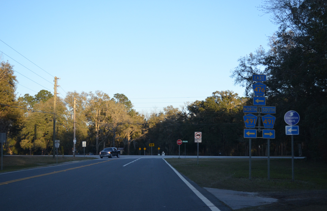
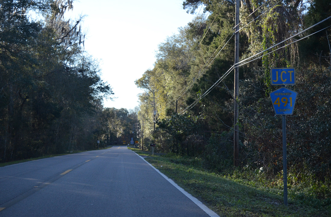
Centralia Road passes under the Suncoast Parkway and next approaches County Road 491 (Citrus Way). Citrus Way leads south to CR 484 (Fort Dade Avenue) to the west of Brooksville.
02/15/14
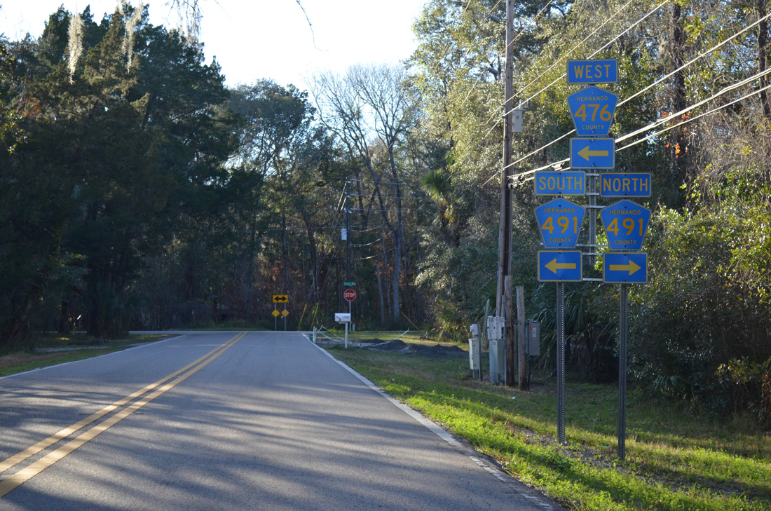
Hernando County Road 476 splits with County Road 491 (Citrus Way) for Lake Lindsey Road east after a 1.46 mile overlap.
02/09/14
Lake Lindsey Road leads east, north and than east again leading to U.S. 98 (Ponce De Leon Boulevard) near Stafford.
02/09/14
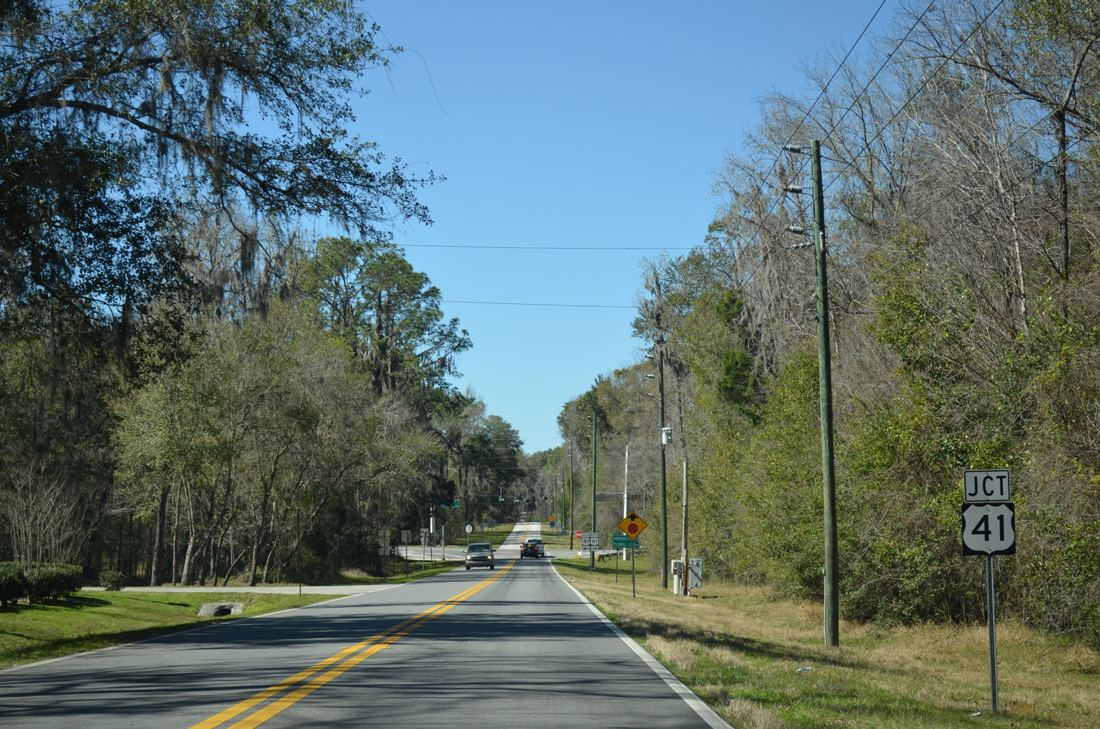
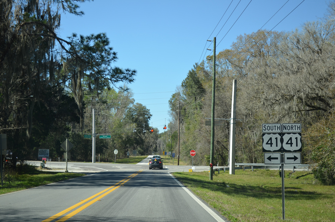
County Road 476 (Lake Lindsey Road) crosses paths with U.S. 41 (Broad Street) at Withlacoochee State Forest east of Lake Lindsey. The highway continues east from there toward Nobleton.
02/09/14
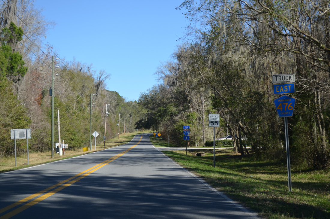
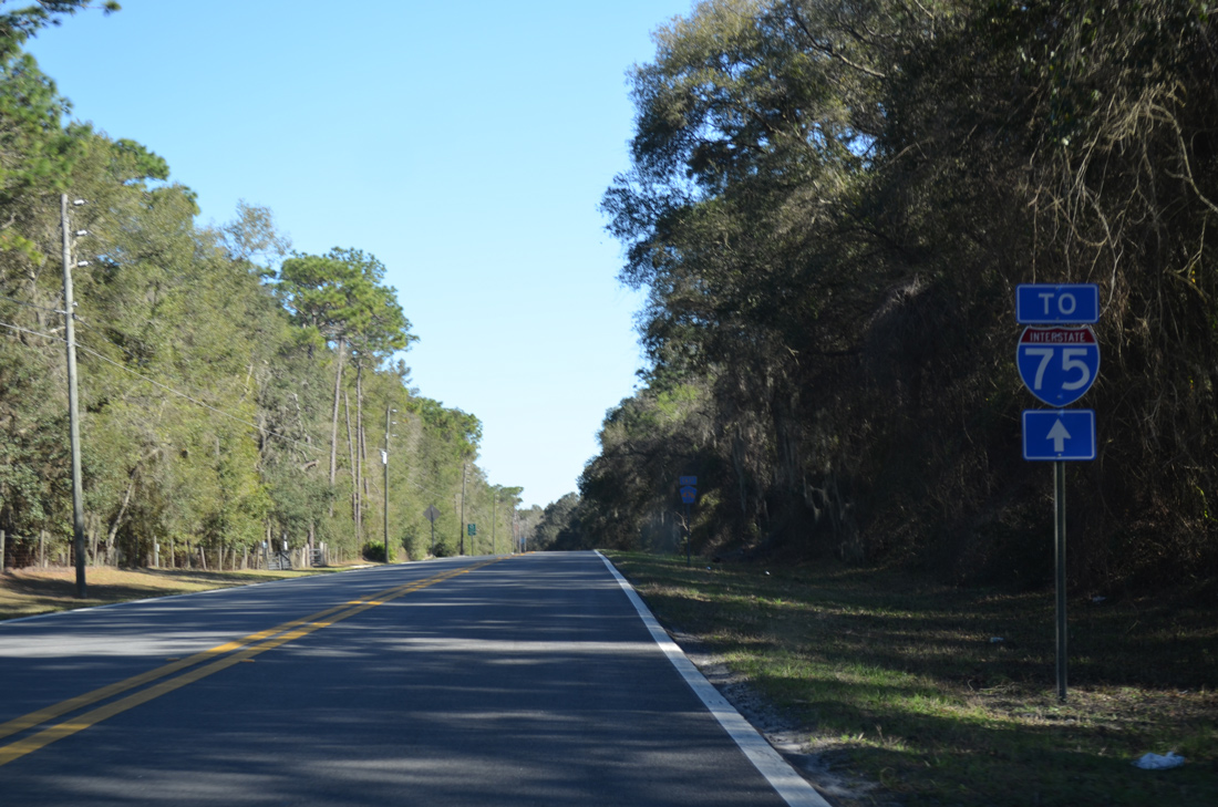
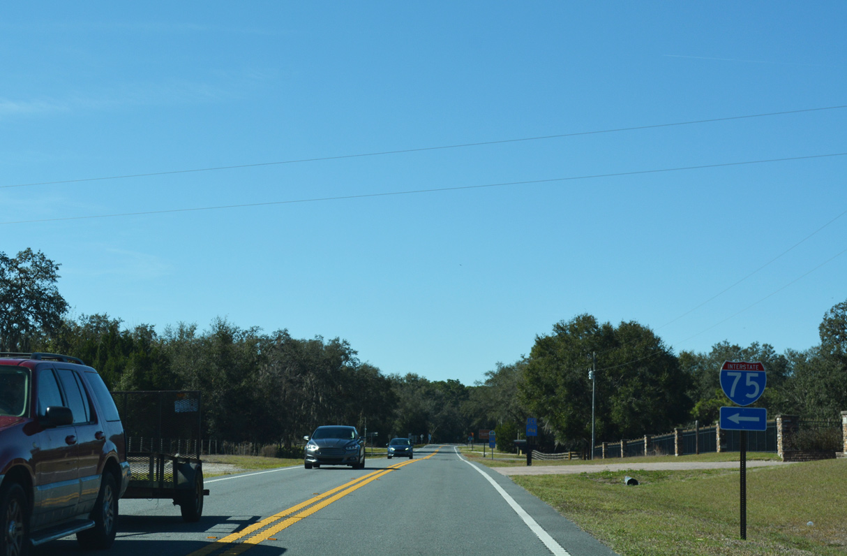
An Interstate 75 trailblazer directs motorists from U.S. 41 east onto CR 476 into Sumter County. I-75 only has one exit in Hernando County.
02/09/14
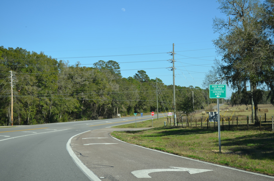
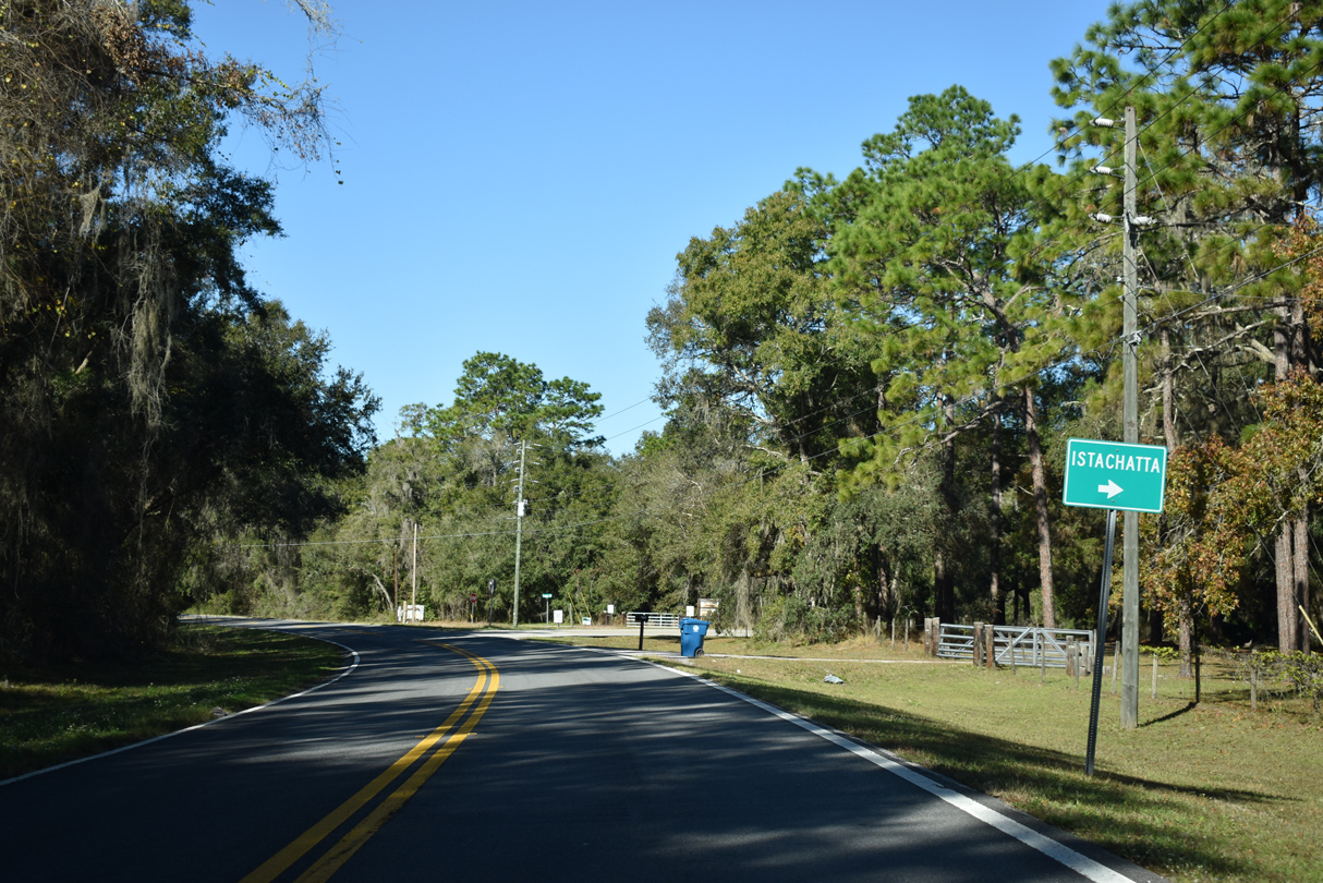
Daly Road stems north from Lake Lindsey Road to the Deer Haven Estates and Istachatta Acres neighborhoods. Land to the south varies between the State Forest and the U.S. Department of Agriculture Subtropical Research Unit.
02/09/14
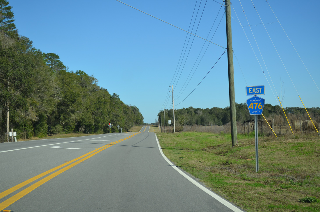
A reassurance marker for CR 476 appears after Daly Road. The forest stand to the north lies within Lake Townsen Regional Park.
02/09/14
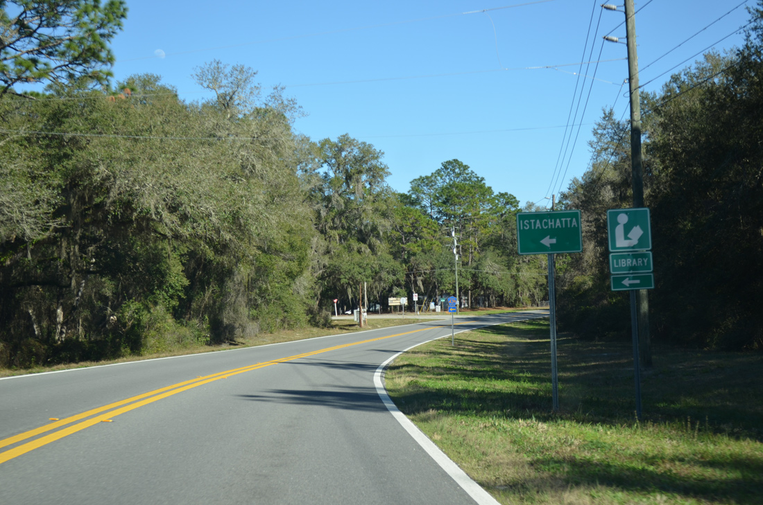
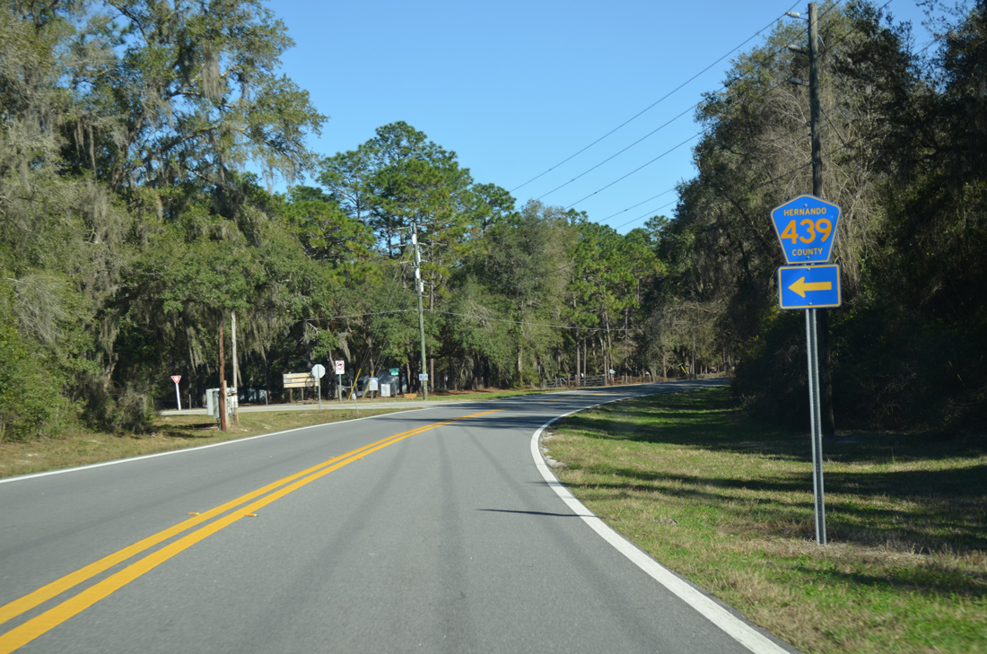
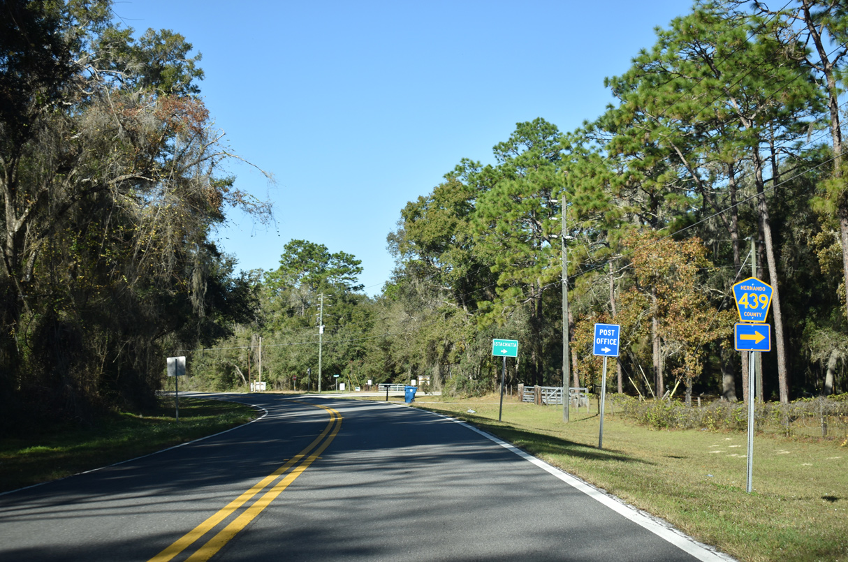
Hernando County Road 439 (Lingle Road) ventures north from CR 476 by Townsen Lake to Istachatta.
02/09/14
Lingle Road becomes County Road 39 north of the Citrus County line en route to Pineola.
02/09/14
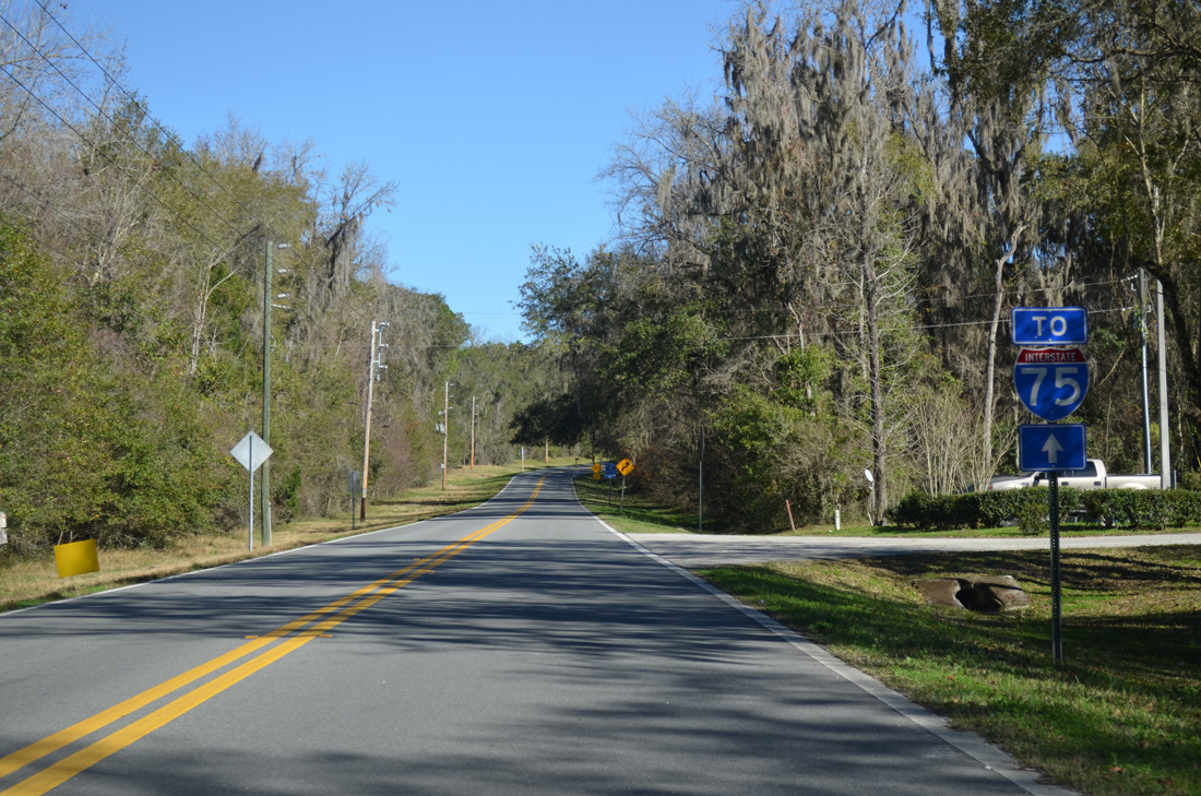
Another I-75 trailblazer directs drivers from CR 439 south along CR 476 east to CR-476B south for its interchange with the freeway.
02/09/14
Continuing alongside Lake Townsen Regional Park on County Road 439 (Lake Lindsey Road) east.
02/09/14
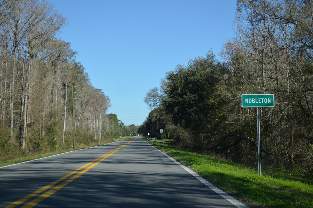
Entering the community of Nobleton on CR 476 east. Nobleton consists of a small grid of streets by a bend along the Withlacoochee River.
02/09/14
Edgewater Avenue, the former alignment of County Road 39 south to Croom and Rital, comprises the main north-south street through Nobleton. This shield follows the intersection at Nobleton Wayside Park.
02/09/14
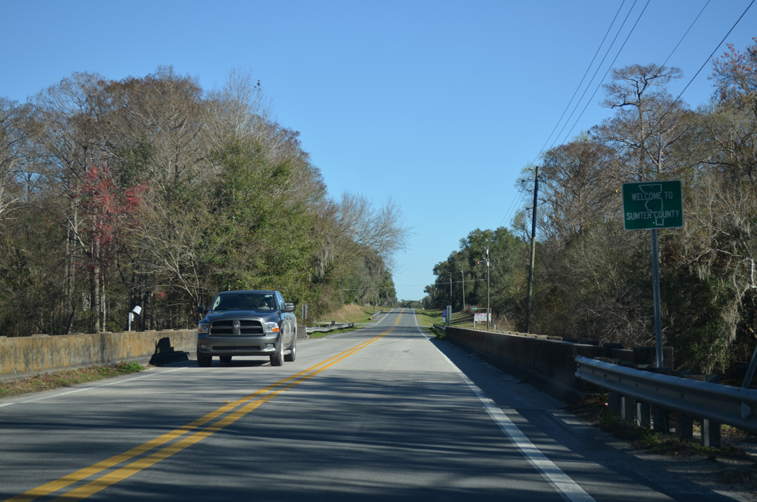
Spanning the Withlacoochee River, County Road 476 crosses into Sumter County.
02/09/14
The first shield for CR 476 east stands beyond the river at CR 647. Many local streets and roads in Sumter County double as county roads, but not in the traditional sense with pentagon markers.
02/09/14
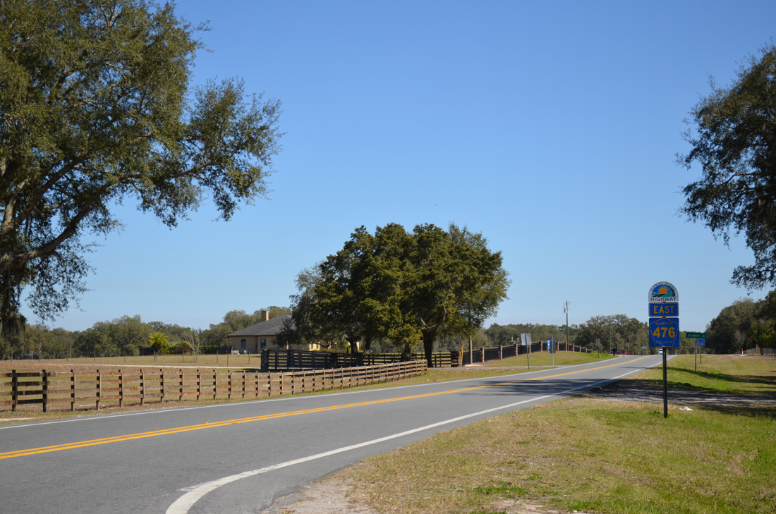
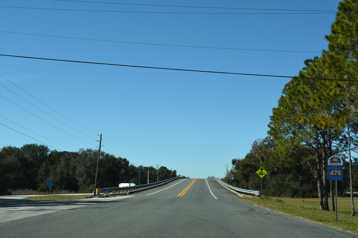
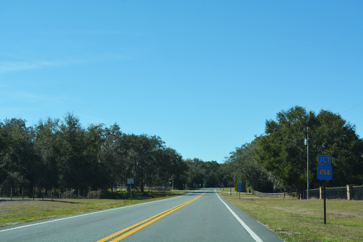
Sumter County Road 476B meanders south 3.21 miles from County Road 476 to meet Interstate 75 opposite CR 673 east toward Webster. CR 476 remains east six miles to Bushnell.
02/17/14
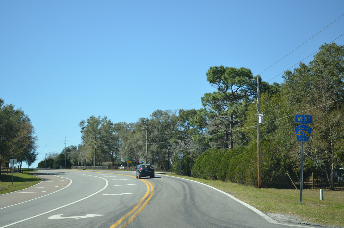
West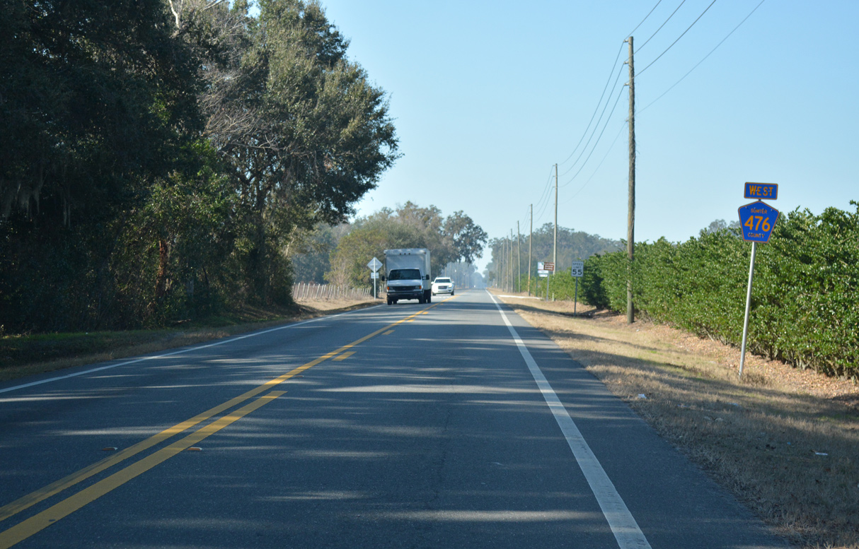
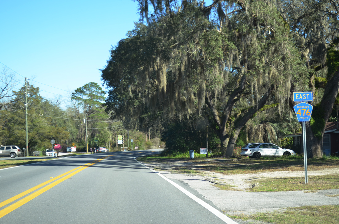
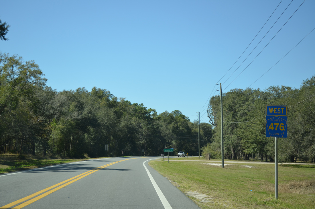
CR 476 extends west from SR 471 and County Road 567 toward Bushnell.
01/15/18
CR 476 proceeds west across ranch land toward County Road 555 and Bushnell.
01/15/18
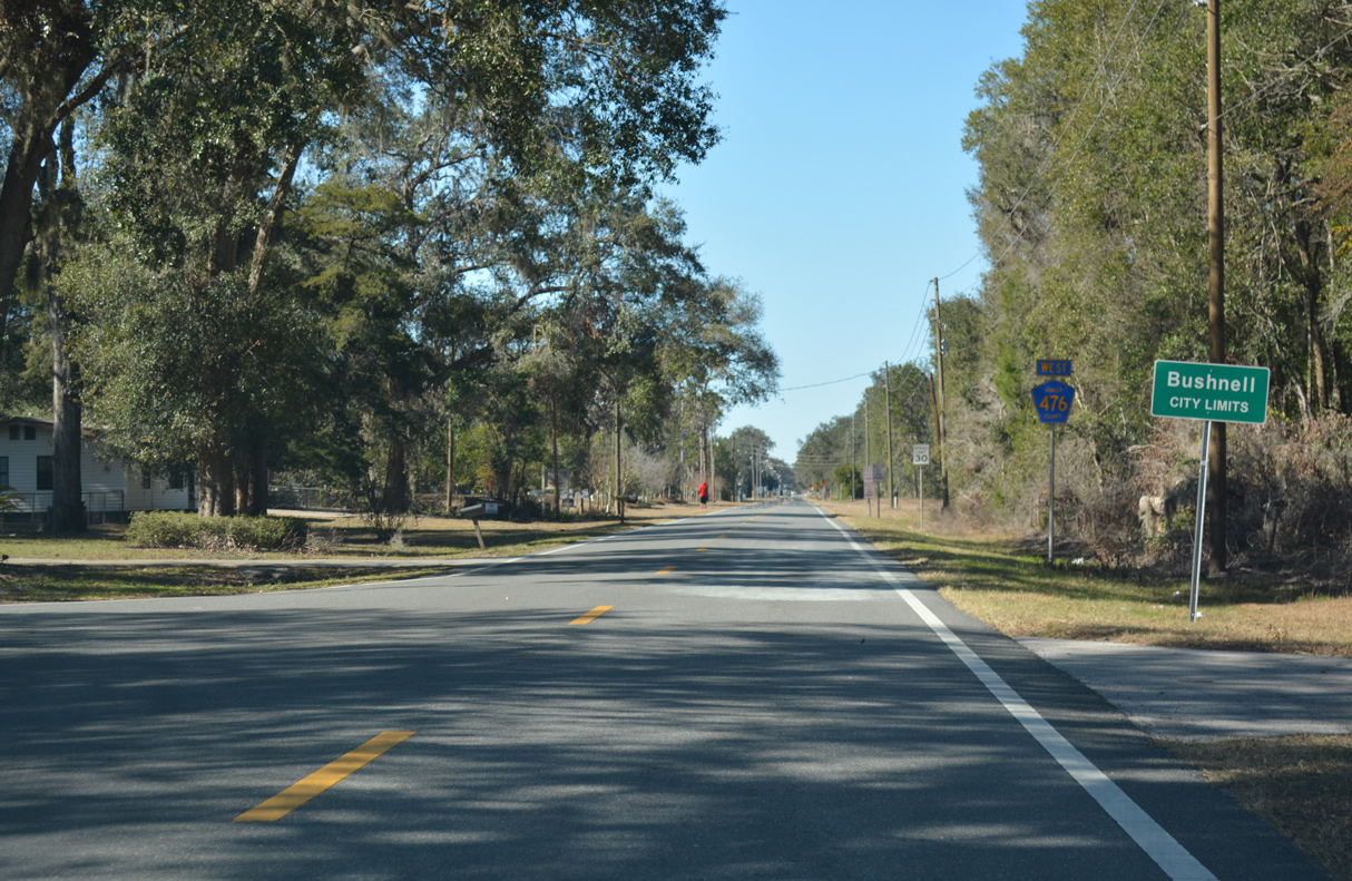
CR 476 enters the city of Bushnell at Jasper Street.
01/15/18
Noble Avenue leads CR 476 west to U.S. 301 ahead of Downtown Bushnell.
01/17/22
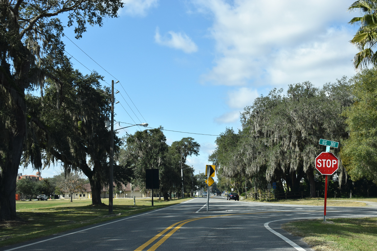
CR 476 (Noble Avenue) ties into U.S. 301 at N Grace Street. Discontinuous through Bushnell, CR 476 resumes a westerly course to Nobleton along Seminole Street south of downtown.
01/17/22
Advancing through the south Bushnell street grid, E Seminole Avenue (former CR 476A) meets CR 48/476 ahead at S Florida Street and E Southland Avenue.
01/17/22
CR 48 initially enters Bushnell on E Southland Avenue, joining CR 476 west along W Seminole Avenue to U.S. 301. Split into separate segments in Sumter County, CR 476 resumes a westerly course to Nobleton 10 miles ahead.
01/17/22
 West
West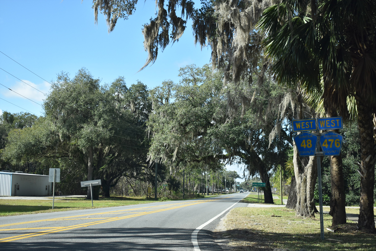
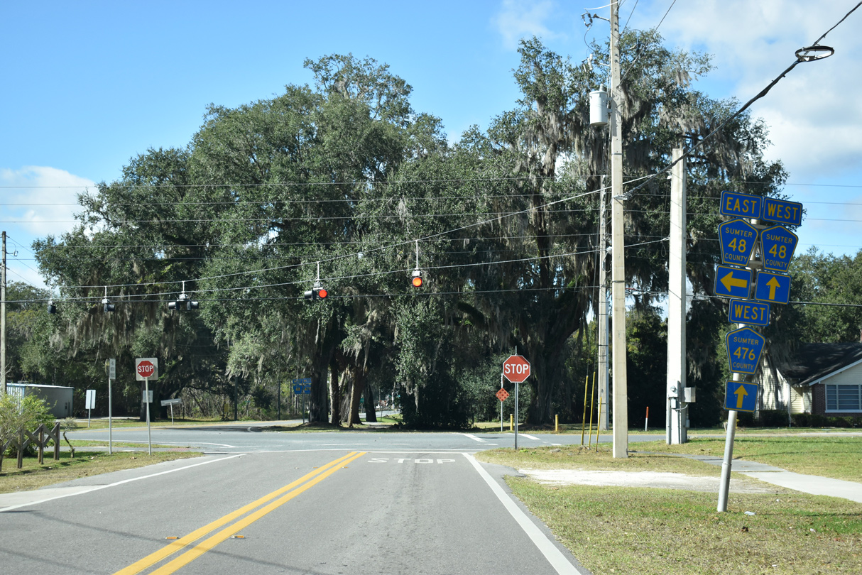
CR 476 overlaps with CR 48 along Seminole Avenue west a quarter mile from Florida Street and Southland Avenue.
01/17/22
Nobleton lies ten miles west of the CR 48/476 overlap on Seminole Avenue in Bushnell.
01/17/22

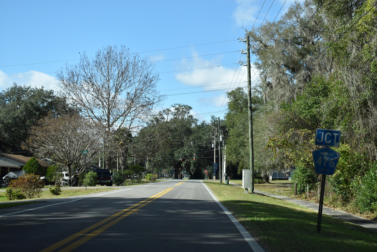
CR 48 turns north from CR 476 alongside U.S. 301 (Main Street) a half mile to Noble Avenue and the Bushnell business district.
01/17/22
West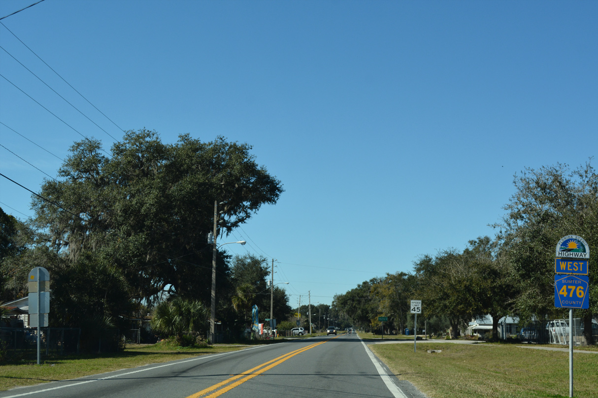
Continuing west from U.S. 301/CR 48 (Main Street), CR 476 follows Seminole Avenue to West Street and the Bushnell city line.
01/21/19
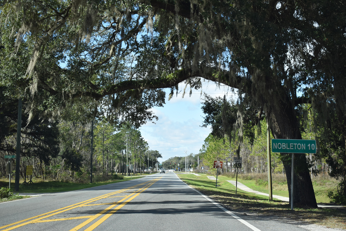
Nobleton lies ten miles west of Bushnell along CR 476.
01/21/19
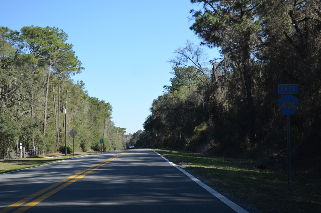
CR 476 is part of the Scenic Sumter Heritage Byway from U.S. 301 west to CR 476B.
01/21/19

CR 476 crosses over Interstate 75 south of the exchange with SR 48. Forthcoming CR 616 links CR 476 with CR 48, 0.75 miles to the north.
01/15/18
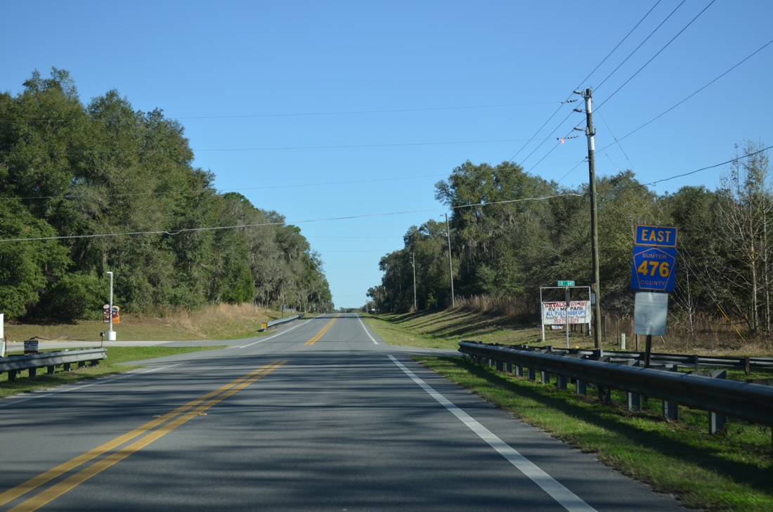
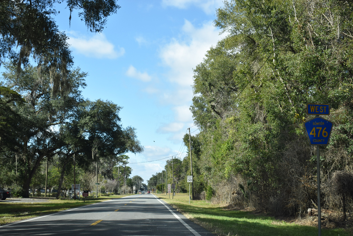
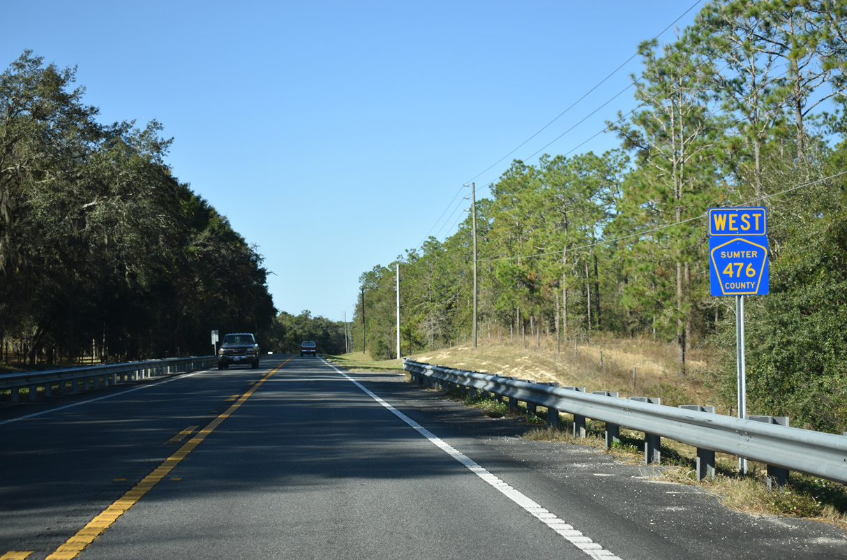
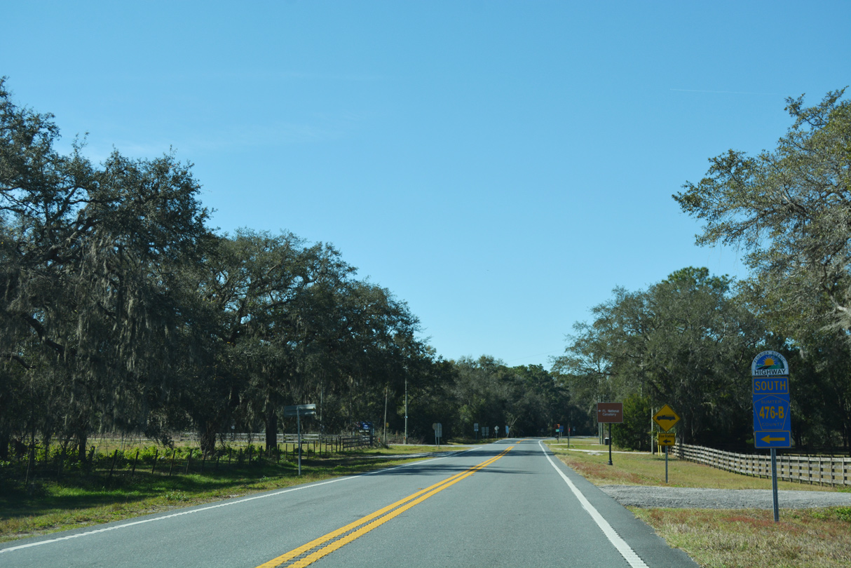
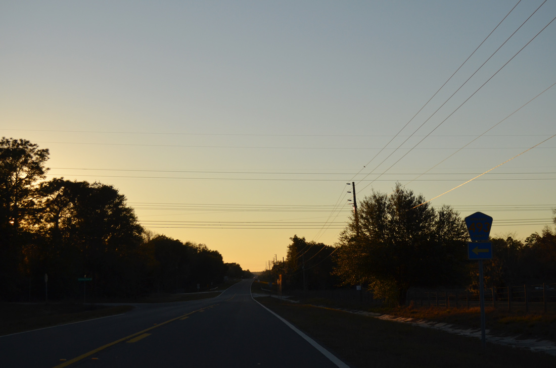
CR 476 advances southwest to CR 476B, a 3.21 mile long route south to Interstate 75 at CR 673.
01/21/19
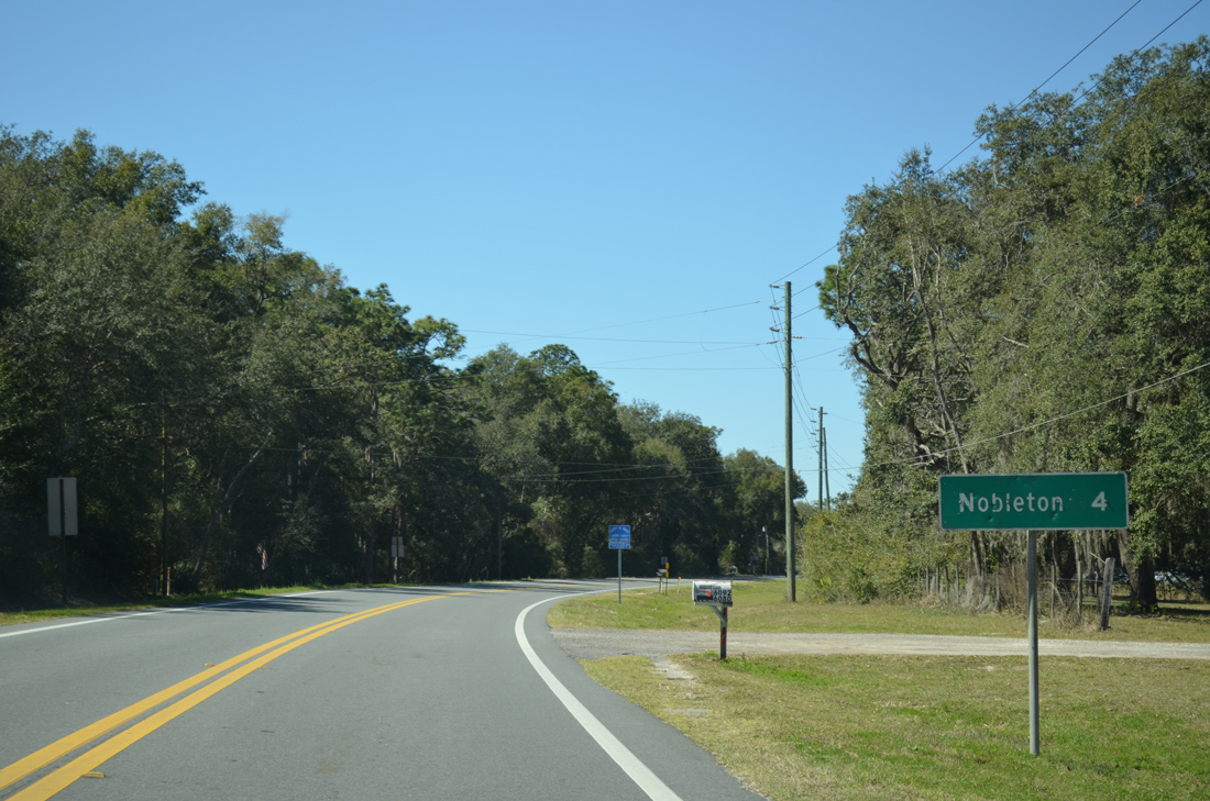
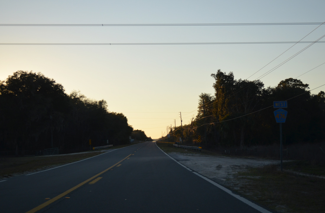
West from CR 476B, CR 476 continues four miles to Nobleton.
02/17/14
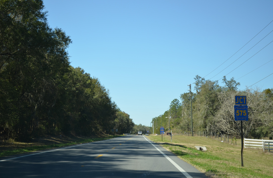
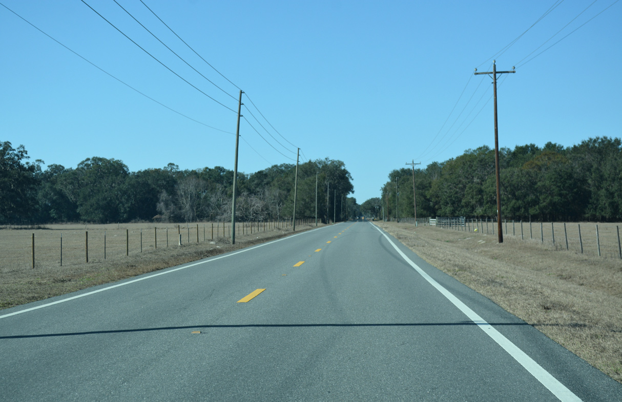
Two miles further west, Sumter County Road 476 meets the south end of CR 575.
02/17/14
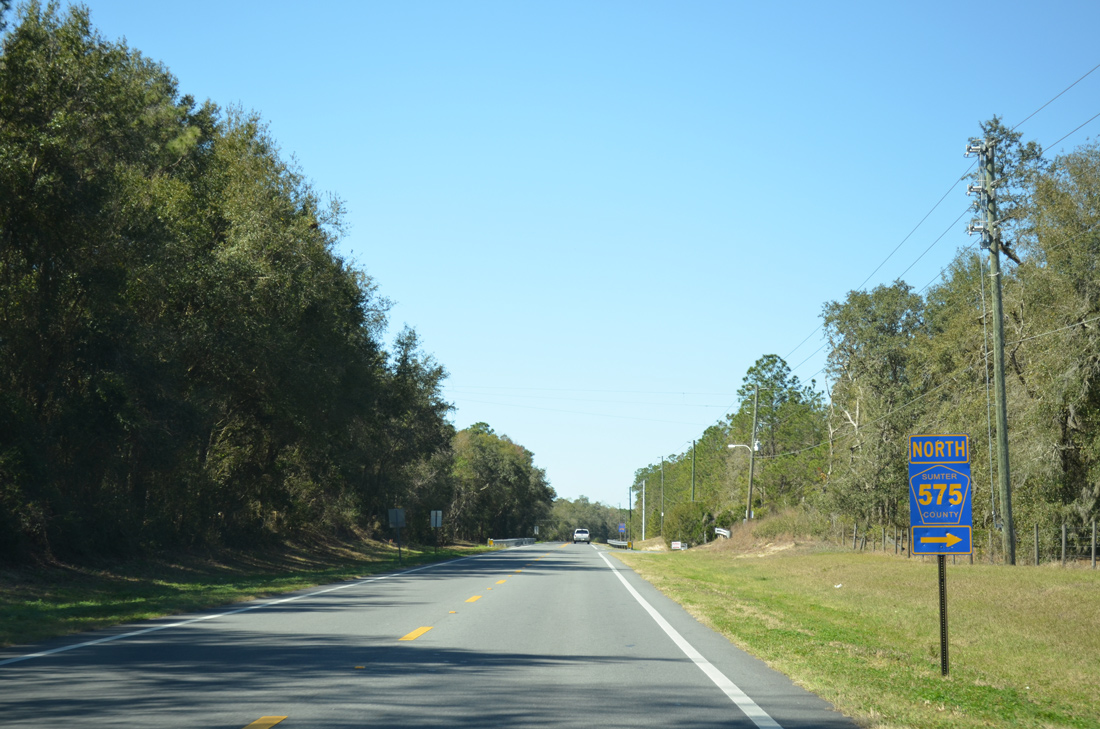
Rural Sumter County Road 575 runs north 6.31 miles to County Road 48 at Bay Hill.
02/17/14
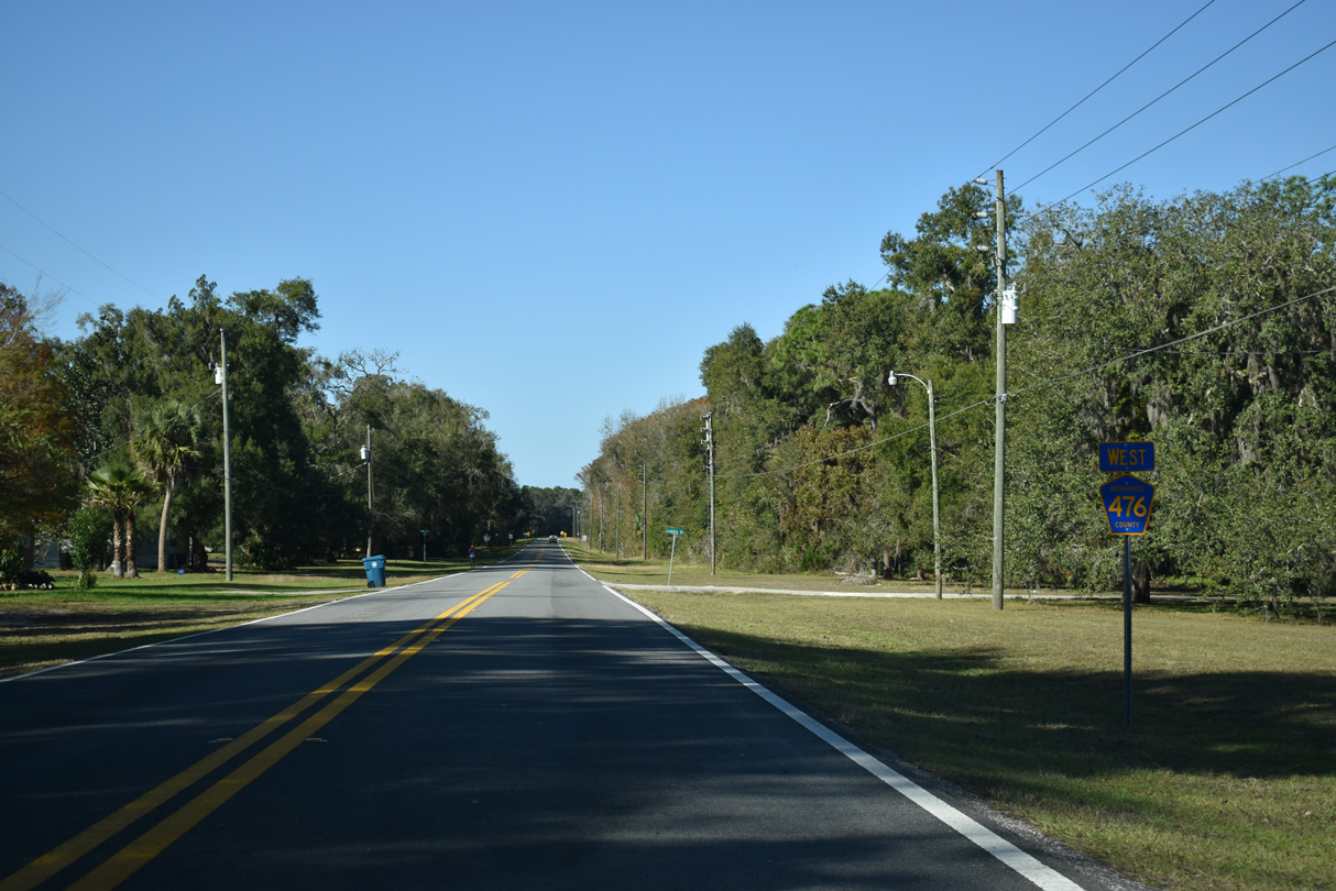
Beyond CR 575, CR 476 west shifts northward leading to Nobleton.
12/16/19
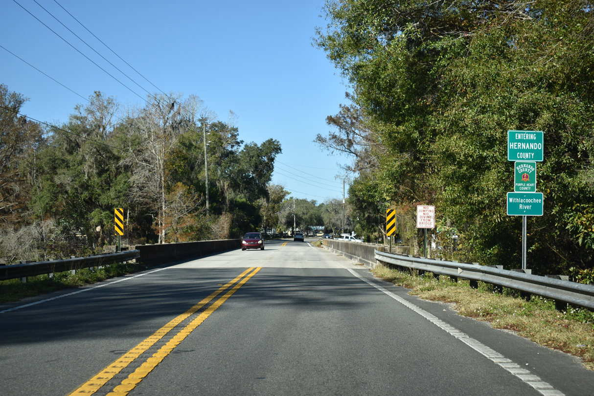
The Withlacoochee River represents the western boundary of Sumter County across County Road 476.
12/16/19
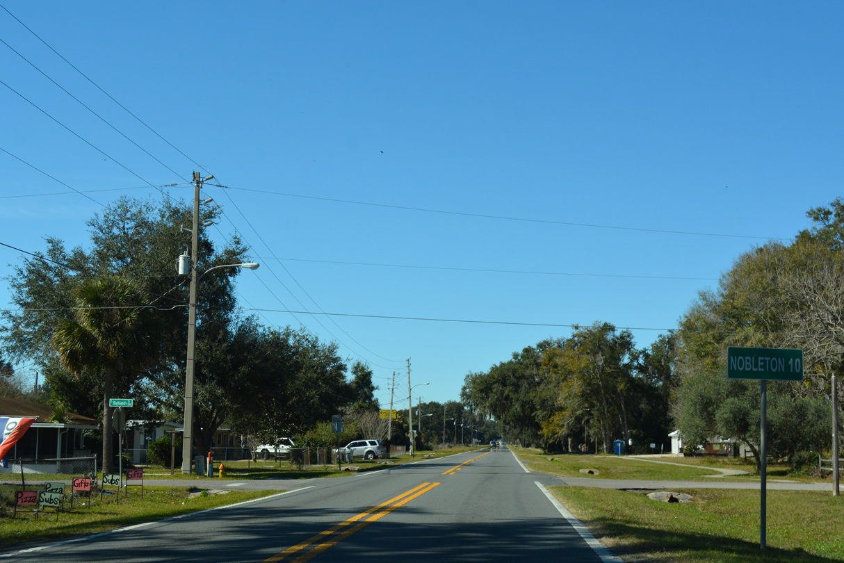
CR 476 follows Lake Lindsey Road through the unincorporated community of Nobleton. A reassurance marker stands west of Edgewater Avenue south, a former alignment of CR 39 to U.S. 98/SR 50.
12/16/19
Advancing west from Nobleton, CR 476 (Lake Lindsey Road) passes by Lake Townsen Regional Park ahead of CR 439 (Lingle Road).
12/16/19
CR 439 (Lingle Rod) runs 1.19 miles north through the community of Istachatta to become CR 39 at the Citrus County line.
12/16/19
Winding back to the southwest, CR 476 traverses a mixture of agricultural land, park land and a portion of Withlacoochee State Forest.
02/17/14
Next in line for westbound motorists along CR 476 is the junction with U.S. 41 (Broad Street).
02/17/14
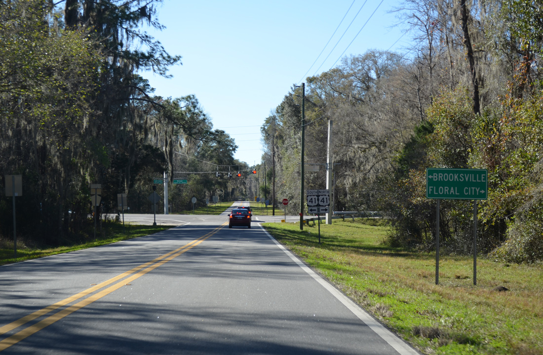
U.S. 41 angles northeast from Pasco County to Floral City.
02/09/14
Drivers turning onto U.S. 41 (Broad Street) south will reach Downtown Brooksville in seven miles. Northward the US route advances through a swath of Withlacoochee State Forest into Citrus County.
02/17/14
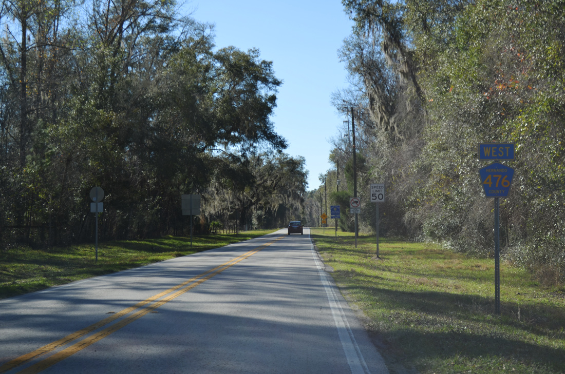
Hernando County Road 476 west shifts southward one quarter mile from U.S. 41 to the Chinsegut Wildlife and Environmental Area.
02/09/14
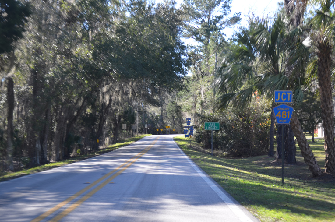
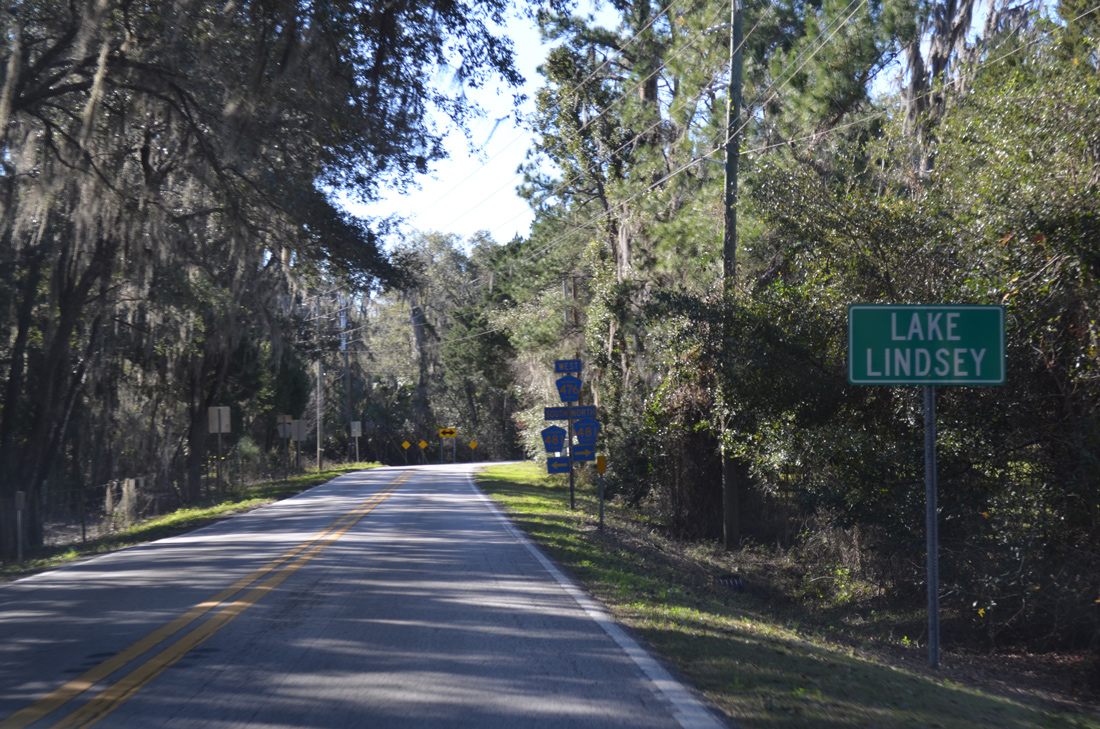
North of May's Prairie, CR 476 leads due west to CR 481 (Snow Memorial Highway) at the settlement of Lake Lindsey.
02/09/14
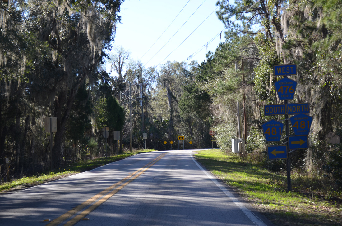
Hernando County Road 481 follows Snow Memorial Highway 3.93 miles between U.S. 41 to the south and Citrus County Road 581 to the north.
02/09/14
West  North
North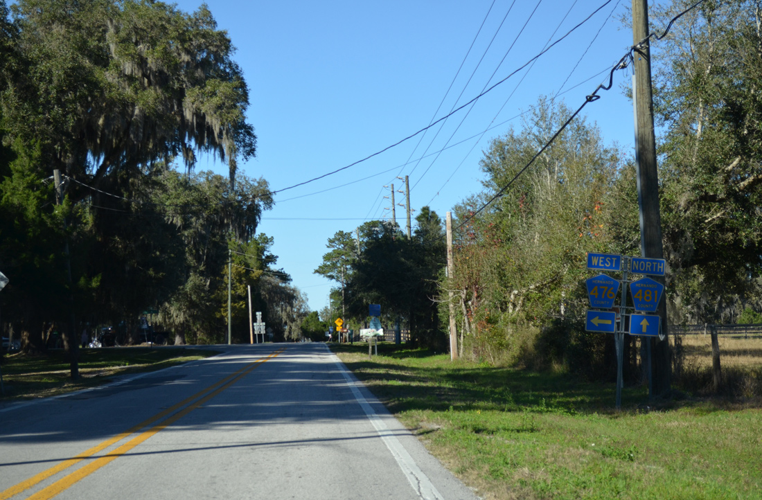
The two county roads split after just 0.12 miles with County Road 476 resuming westward to Stafford and Royal Highlands and County Road 481 remaining due north toward Inverness.
02/09/04
West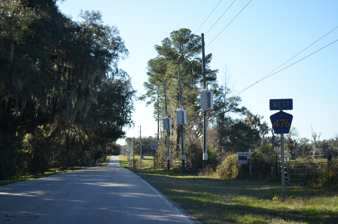
Encircling Lake Lindsey along County Road 476 west from County Road 481 (Snow Memorial Highway).
02/09/14
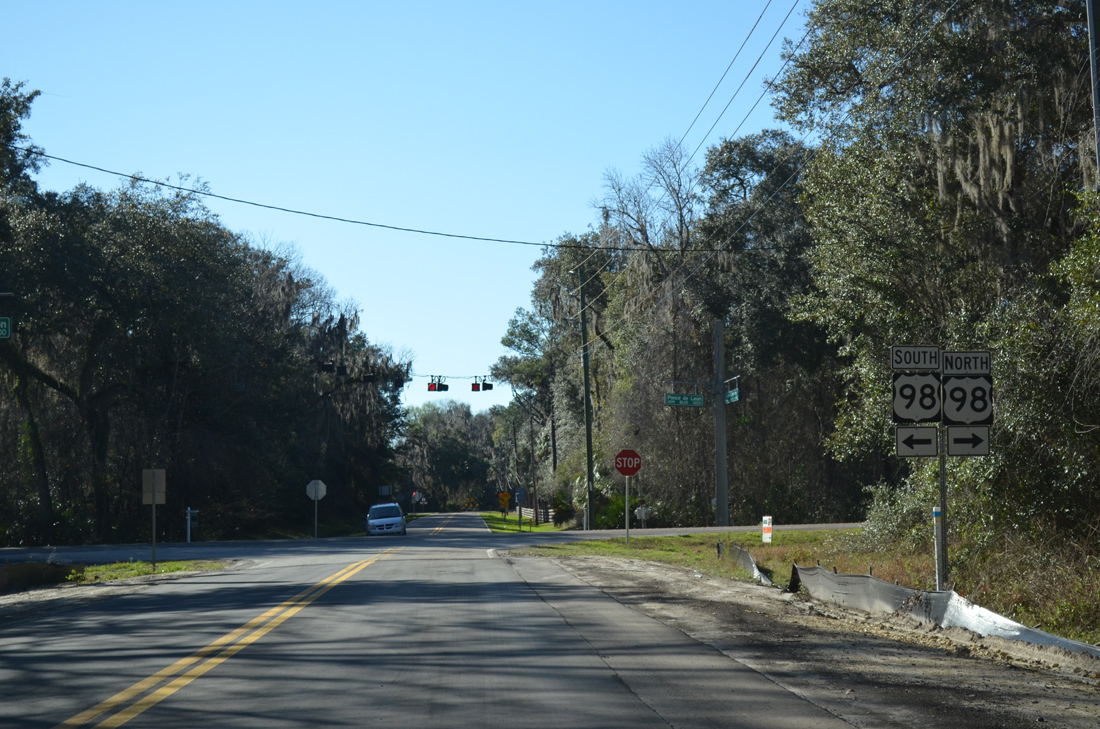
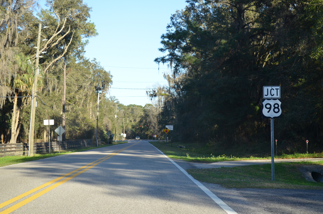
An S-curve takes CR 476 (Lake Lindsey Road) between Johnson Pond and Tank Lake to U.S. 98. U.S. 98 follows Ponce De Leon Boulevard northward from Brooksville to its merge with U.S. 19 in Citrus County.
02/09/14
County Road 476 turns south at forthcoming Annutalaga Avenue just west of U.S. 98.
02/09/14
A 90-degree turn resumes the western heading of CR 476 after a half mile.
02/09/14
Lake Lindsey Road lines the north side of the Cemex mining site 1.5 miles to County Road 491 (Citrus Way).
02/09/14
Hernando County Road 491 extends Citrus County Road 491 south from Holder, Beverly Hills and Lecanto.
02/09/14
West  South
South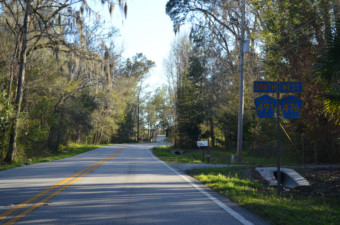
CR 476 west / CR 491 south overlap 1.46 miles around the Cemex mining site.
02/09/14
West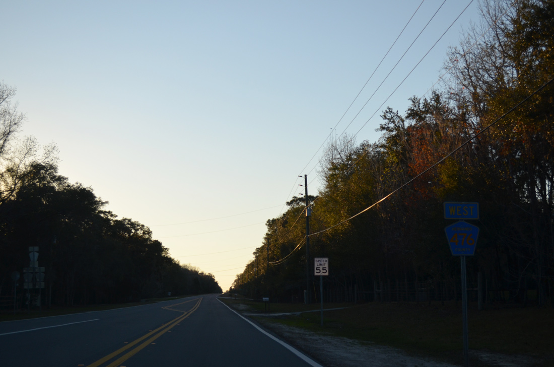
Centralia Road carries the final 5.29 miles of CR 476 leading away from CR 491 and Fickett Hammock Preserve.
02/15/14

A pair of overpasses support the roadways of Suncoast Parkway (SR 589) above County Road 476 west. There are no exits along the toll road between U.S. 98 and SR 50.
02/15/14
Just west of the SR 589 overpasses is the north end of CR 493 (Sunshine Grove Road). CR 493 leads south from the Royal Highlands area to busy SR 50 (Cortez Boulevard) on the outskirts of Spring Hill.
02/15/14
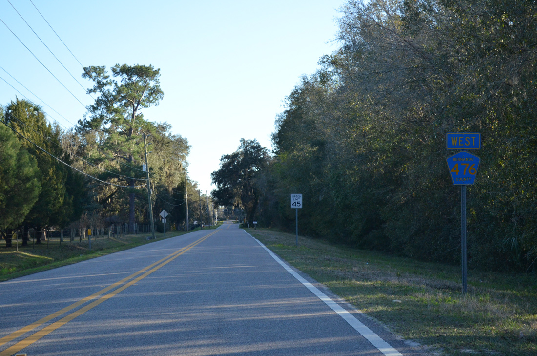
Hernando County Road 476 (Centralia Road) remains rural by a number of unpaved streets through the Royal Highlands community between CR 493 and U.S. 19.
02/15/14
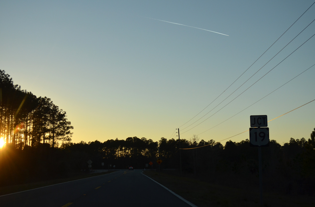
Approaching the end of CR 476 at U.S. 19 and the Annutteliga Hammock Preserve. Areas west of U.S. 19 fall within Chassahowitzka Wildlife Management Area.
02/15/14
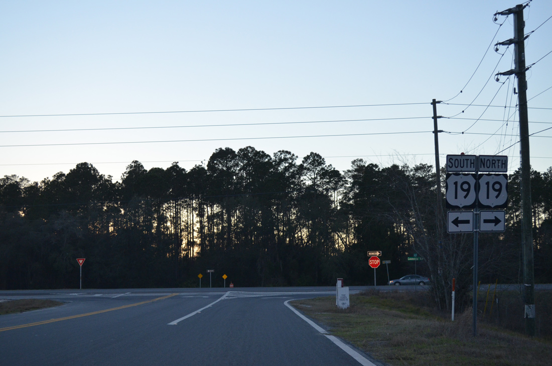
U.S. 19 (Commercial Way) ventures north from Royal Highlands to Sugarmill Woods, Homosassa Springs and Crystal River in Citrus County. The road becomes commercial from Weeki Wachee southward to Spring Hill and New Port Richey.
02/15/14
Photo Credits:
- ABRoads: 02/15/14, 02/17/14, 01/15/18, 01/21/19, 01/17/22
- AARoads: 02/09/04, 02/09/14
- Alex Nitzman: 12/16/19
Connect with:
Page Updated Monday January 17, 2022.