
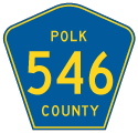
County Road 546
Polk County Road 546 lines Saddle Creek Road east 3.62 miles from SR 659 (Combee Road) at Combee Settelment to Old Dixie Highway at Fussels Corner. Old Dixie Highway 1.9 miles east to CR 655 (Berkley Road) in Auburndale is no longer included in the mileage for County Road 546. This includes the diamond interchange with Polk Parkway (SR 570), though some guide signs for Exit 18 still reference CR 546.
A second branch of CR 546 in Polk County forms a 5.44 mile long loop east from SR 17 (Scenic Highway) to CR 544 (Lake Marion Road). The rural highway connects Lake Hamilton with the Grenelefe community west of Lake Marion.
State Road 546 is also assigned in Polk County along Memorial Boulevard east from Interstate 4 to U.S. 92 in Lakeland. Totaling 5.85 miles, SR 546 continues east from Wabash Avenue as the hidden component of U.S. 92.
 East
East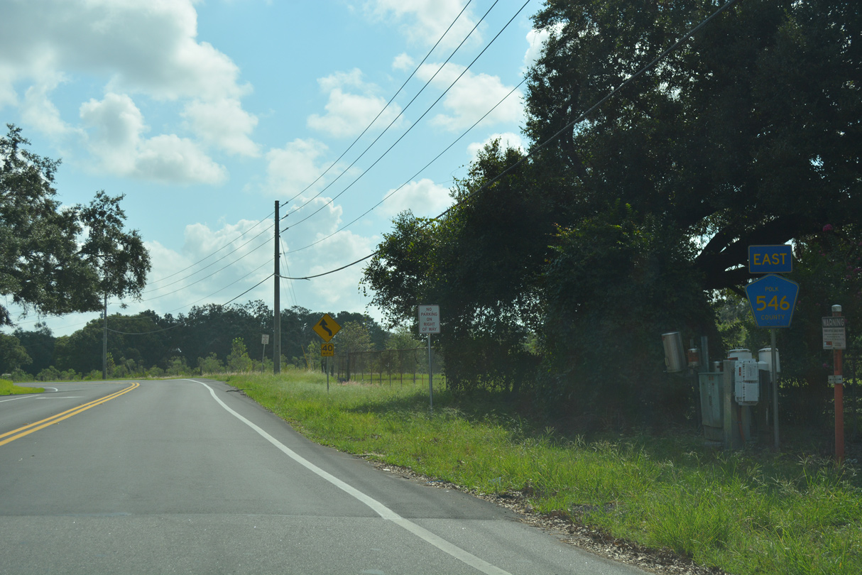
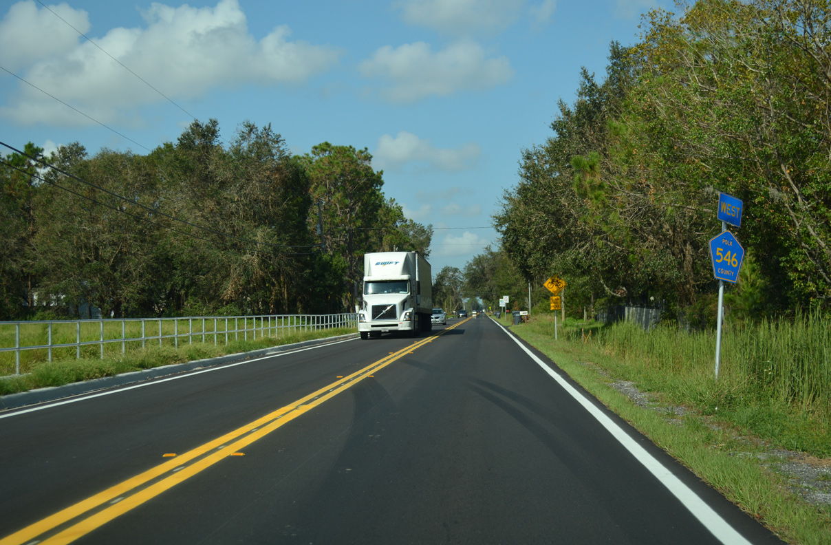
Eastbound CR 546 begins along Saddle Creek Road from SR 659 (Combee Road).
09/20/17
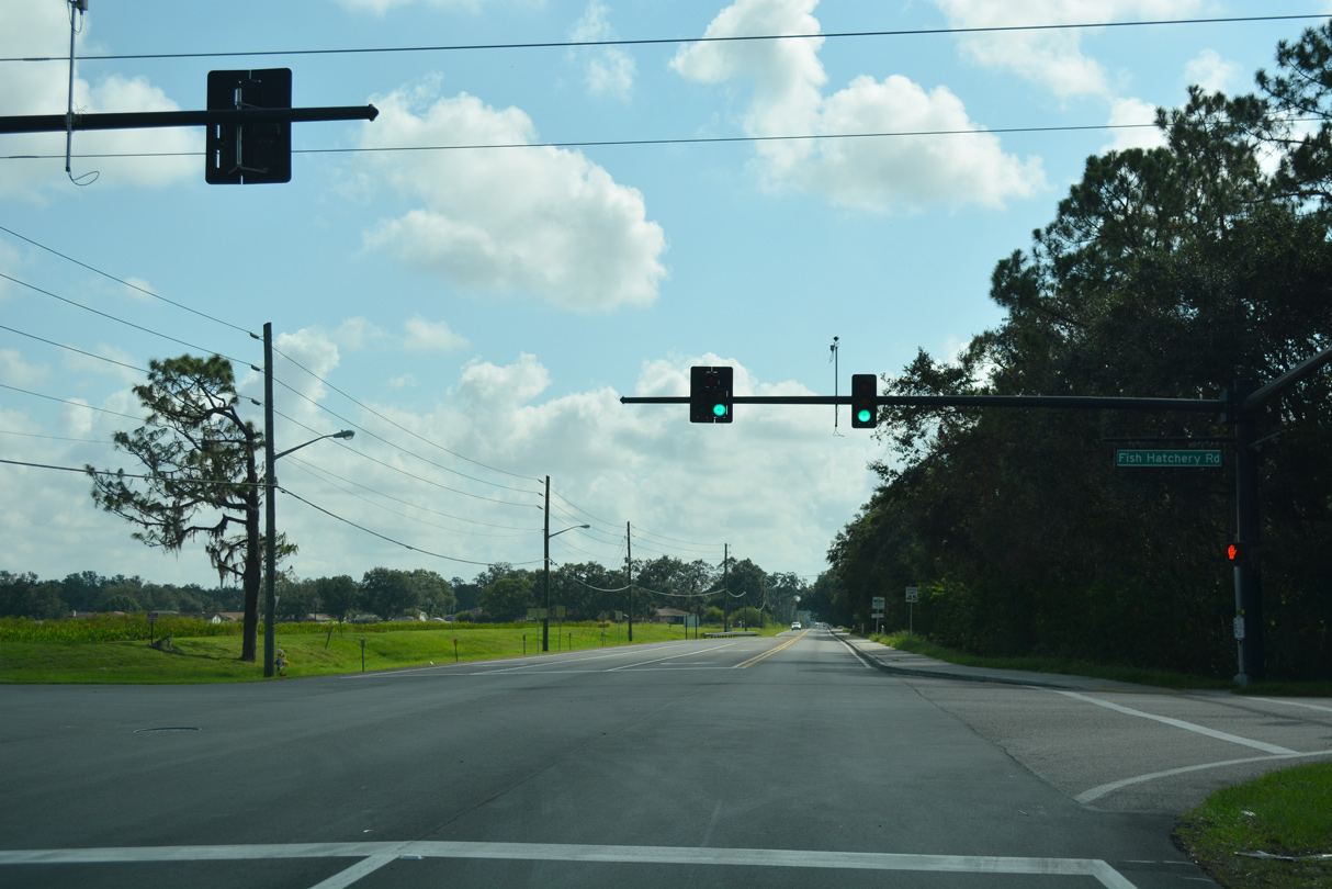
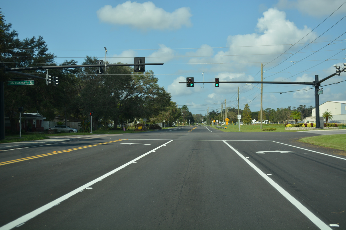
Fish Hatchery Road ties into CR 546 (Saddle Creek Road) across from a distribution center.
09/20/17
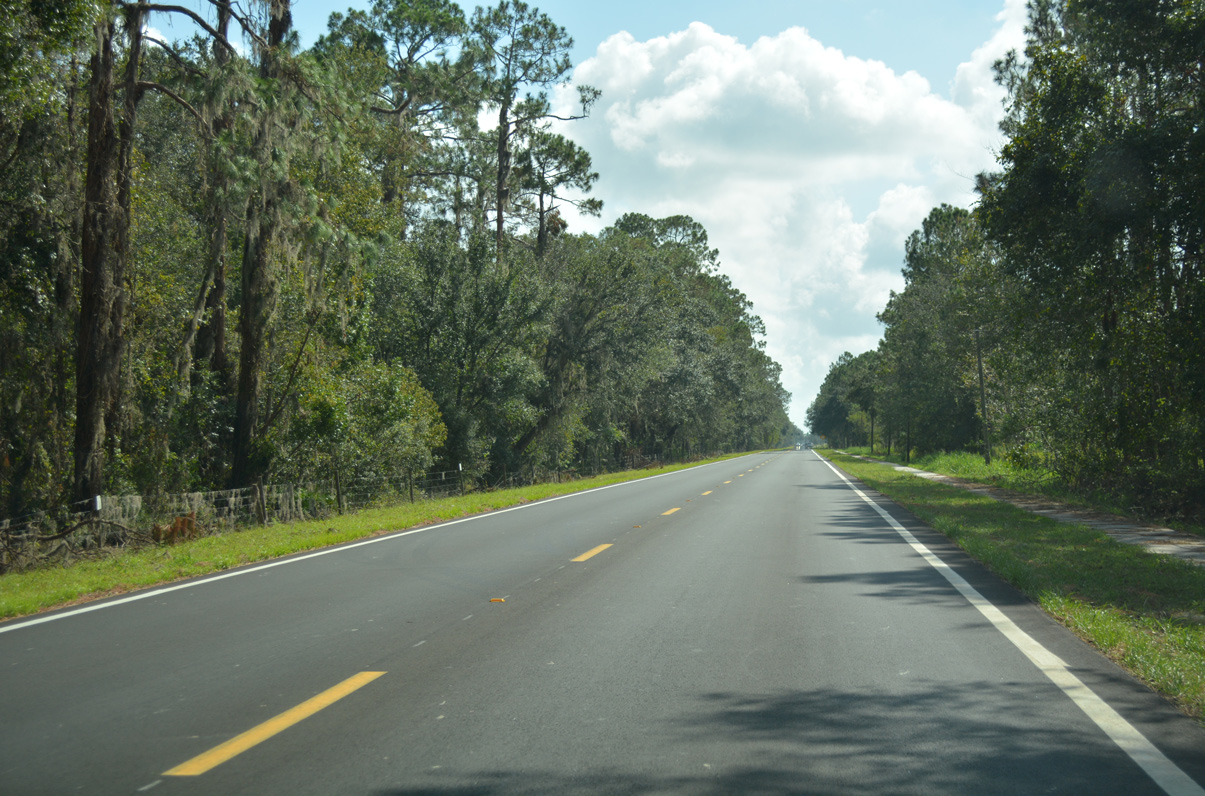
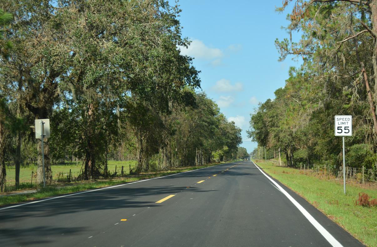
Leaving Combee Settlement, CR 546 travels across the Tenoroc Fish Managment Area north of Saddle Creek Park.
09/20/17
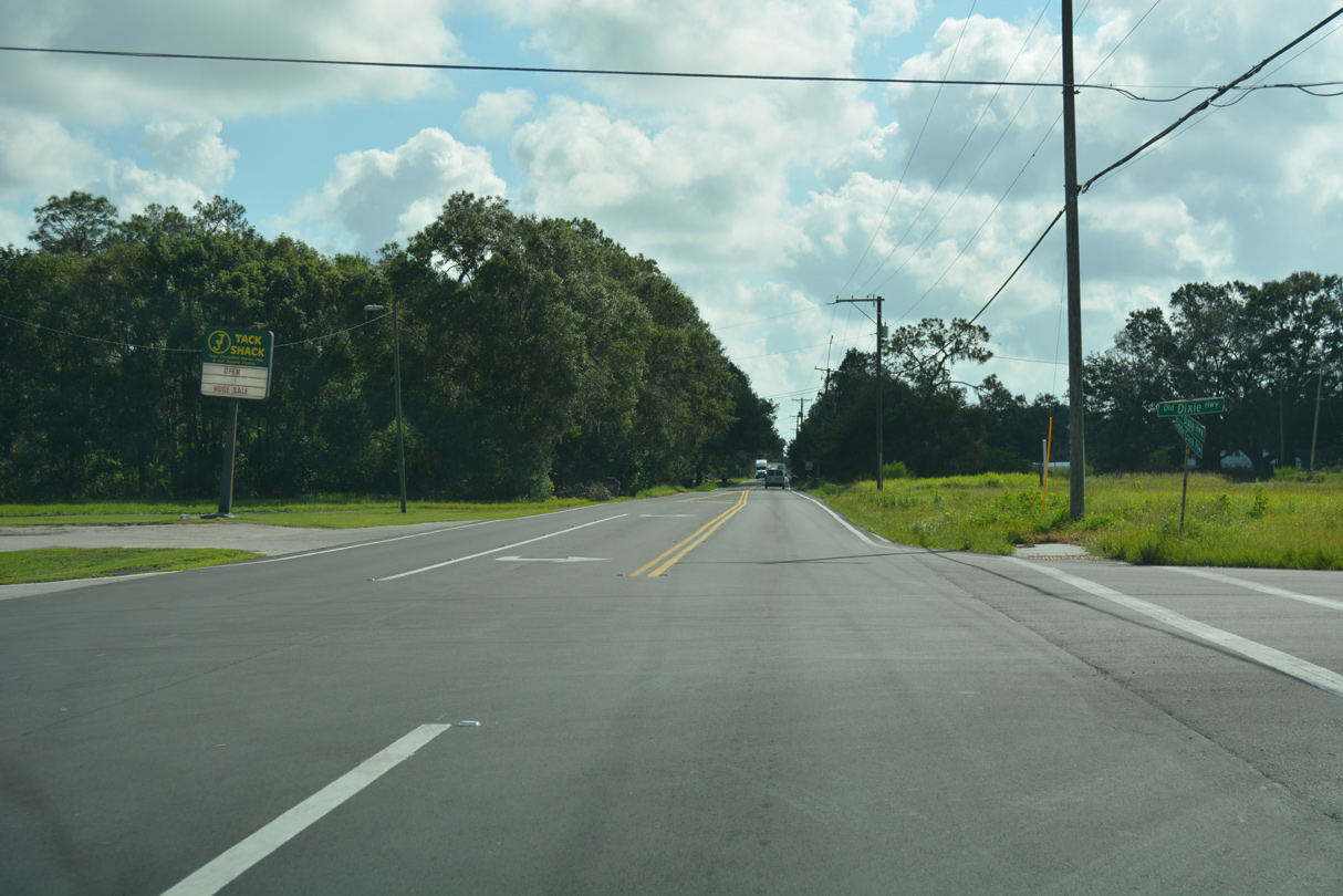
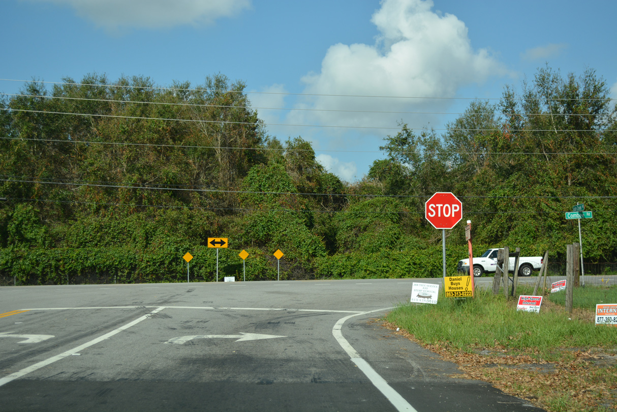
CR 546 east ends at Old Dixie Highway, which takes a stair stepped route north from U.S. 92 to Saddle Creek Road.
09/20/17
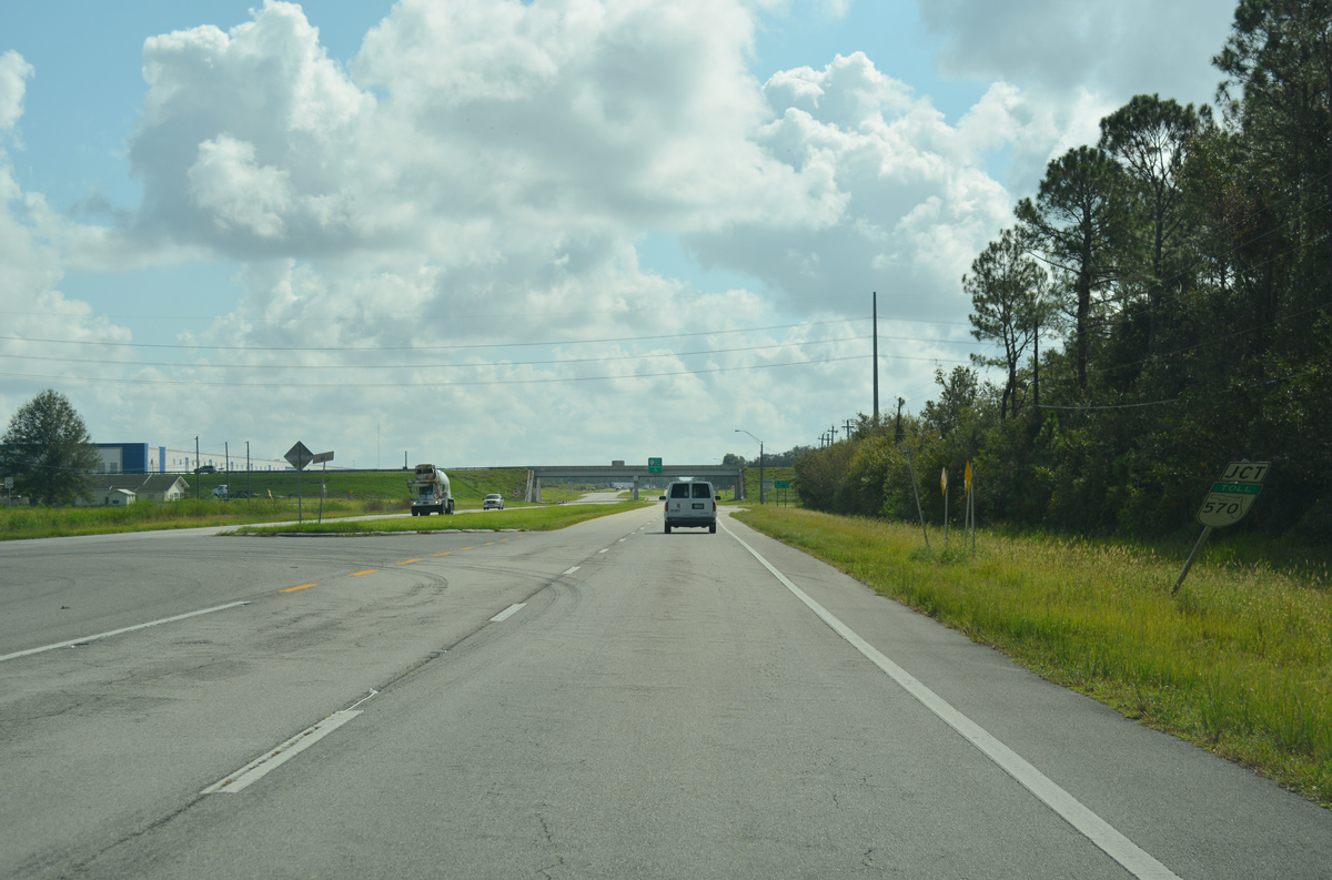
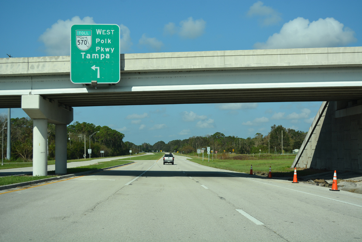
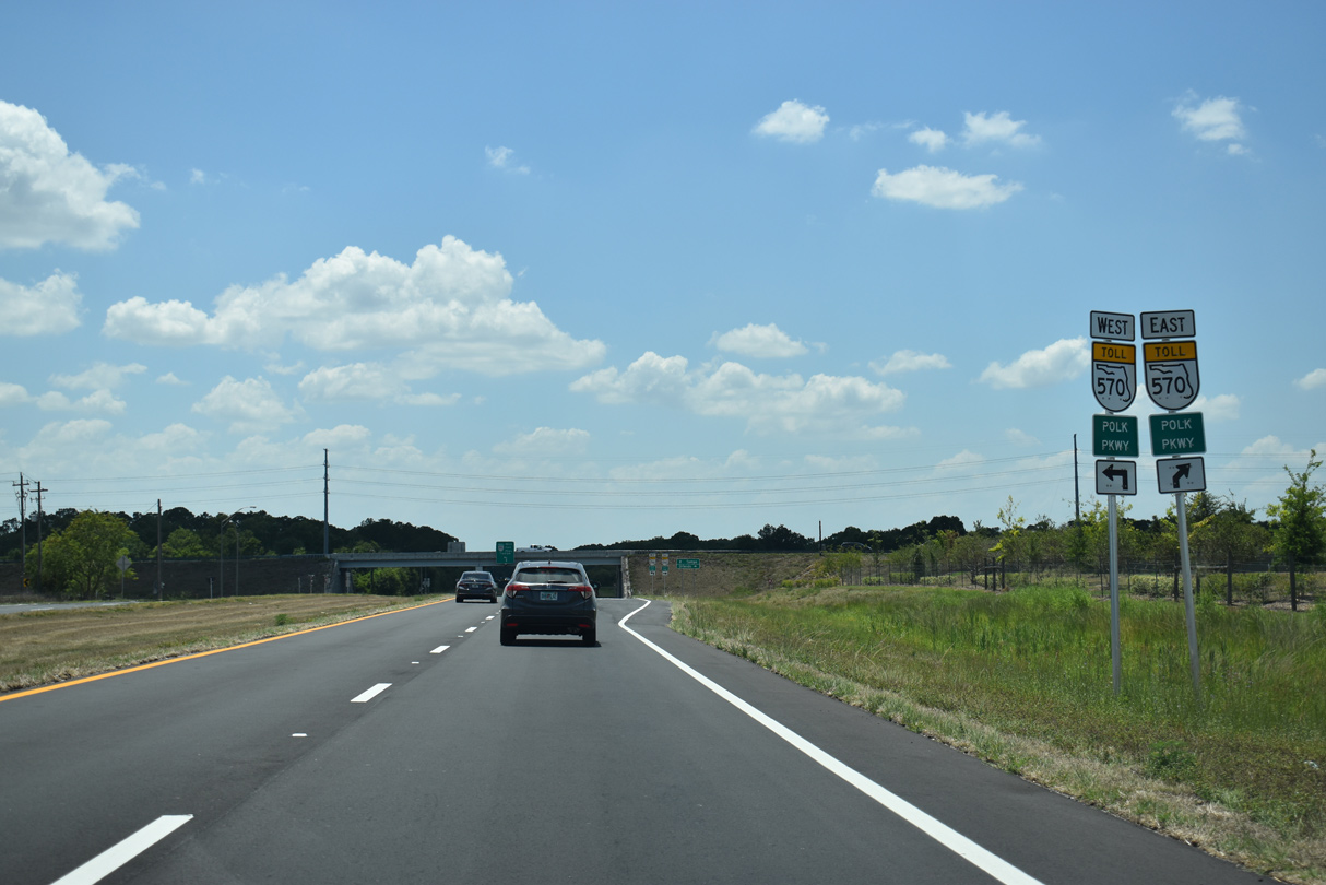
Old Dixie Highway expands to four lanes leading into the diamond interchange with SR 570 (Polk Parkway).
09/20/17
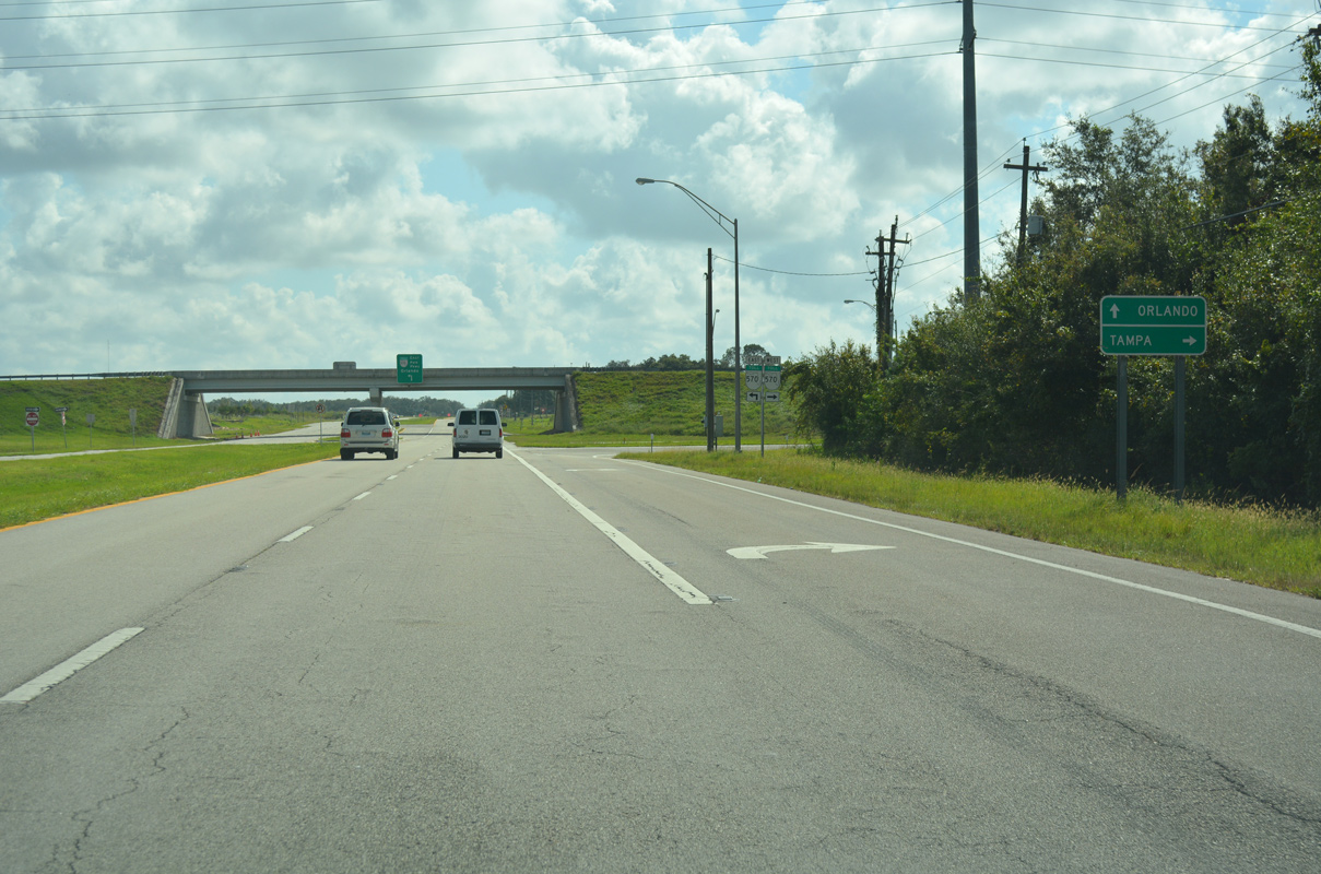
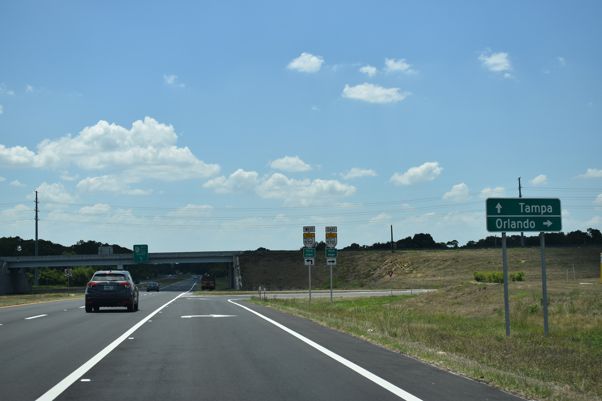
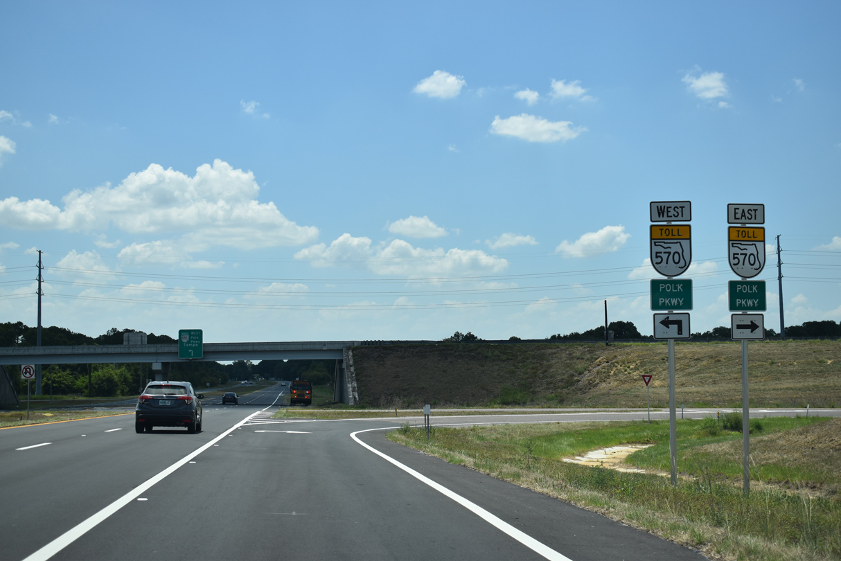
SR 570 (Polk Parkway) encircles Lakeland to the south via Eaton Park. The toll road concludes to the west at I-4 near the Hillsborough County line.
09/20/17
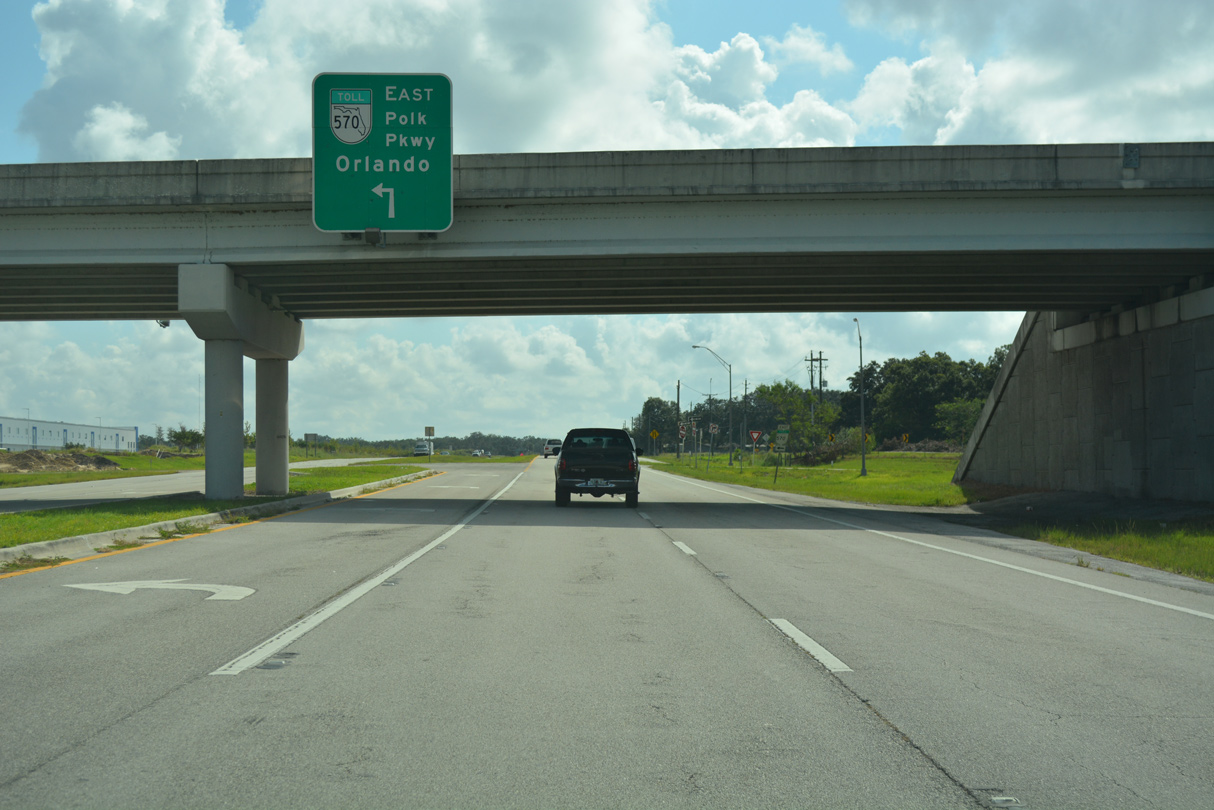
SR 570 (Polk Parkway) continues 5.5 miles north from Old Dixie Highway to Interstate 4 near Polk City.
09/20/17
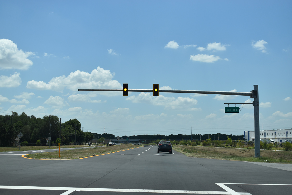
Old Dixie Highway expands to four lanes a short distance west of Berkley Road (CR 655). The addition of distribution centers on the north side of the arterial included the installation of traffic lights at Moss Road in 2019.
05/30/19

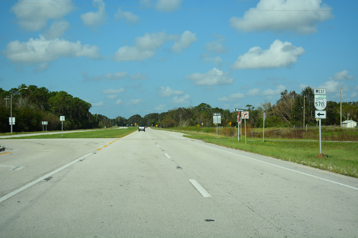
Old Dixie Highway advances west from Moss Road into a diamond interchange with SR 570 (Polk Parkway).
05/30/19
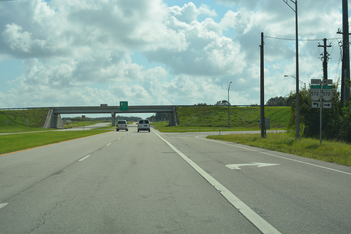
Polk Parkway is a tolled beltway leading north along Auburndale to Interstate 4 near Polk City and northeast Lakeland.
05/30/19
SR 570 heads south to SR 540 and west to U.S. 98 at Eaton Park and Lakeland Linder International Airport (LUL) before curving northward to Interstate 4 ahead of Plant City.
09/20/17
 West
West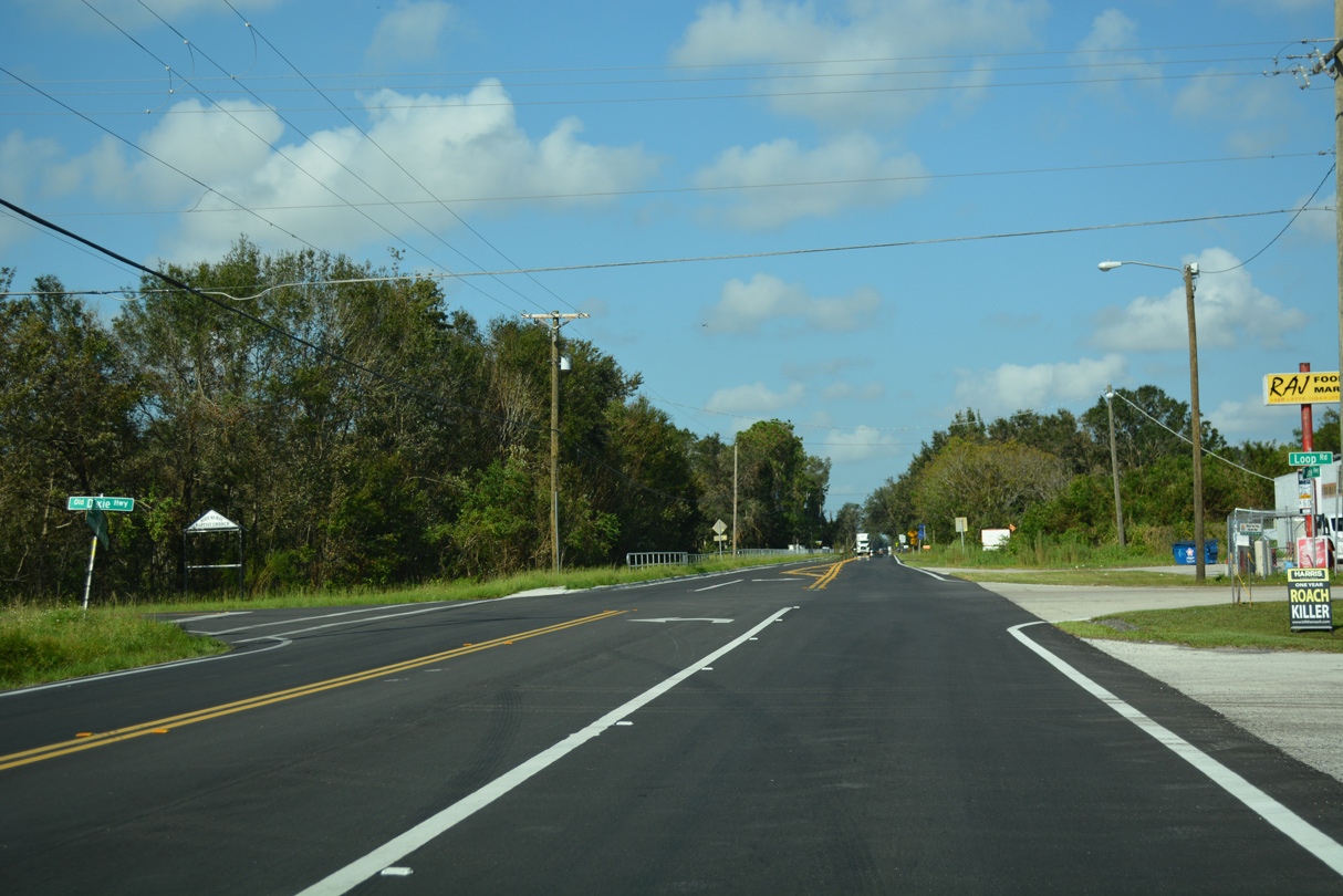
County Road 546 begins where Old Dixie Highway turns south from Saddle Creek Road at Fussels Corner.
09/20/17
A reassurance marker stands along Saddle Creek Road westbound after Old Dixie Highway.
09/20/17
CR 546 (Saddle Creek Road) passes through areas of Tenoroc Fish Management Area midway between Fussels Corner and Combee Settlement.
09/20/17
Entering the Combee Settlement community, CR 546 intersects Fish Hatchery Road south.
09/20/17
The west end of CR 546 (Saddle Creek Road) at Combee Road is unmarked as State Road 659. SR 659 travels 7.57 miles overall from U.S. 98 at Eaton Park to SR 33 in north Lakeland.
09/20/17
Photo Credits:
- ABRoads, JP Nasiatka: 09/20/17
- Alex Nitzman, JP Nasiatka: 09/20/17
- Alex Nitzman: 05/30/19
Connect with:
Page Updated Tuesday May 12, 2020.