
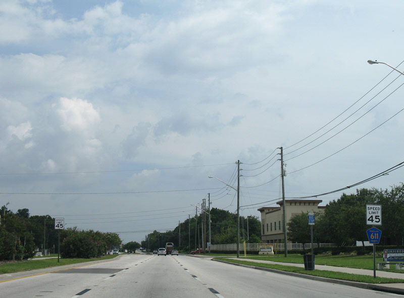
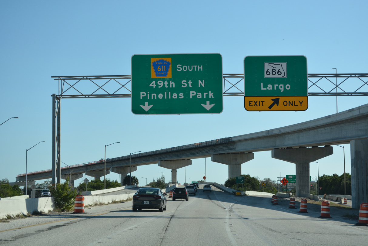
County Road 611 South
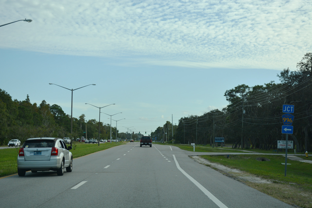
CR 611 extends south from Pasco County Road 77 a half mile to intersect the west end of CR 996 (Trinity Boulevard)
11/06/18
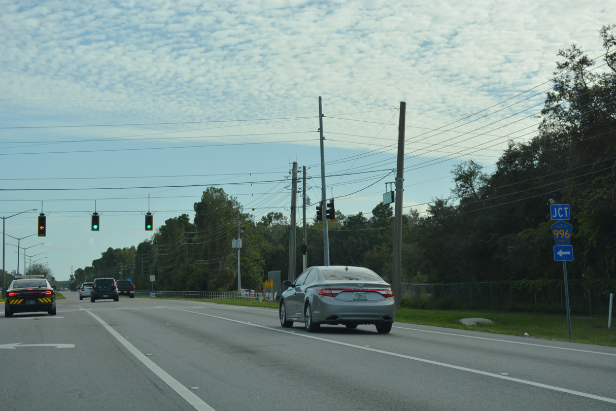
CR 996 (Trinity Boulevard) winds eastward through Brooker Creek Preserve 1.71 miles to the Pasco County line. The four lane boulevard continues east through the Trinity development to State Road 54.
11/06/18
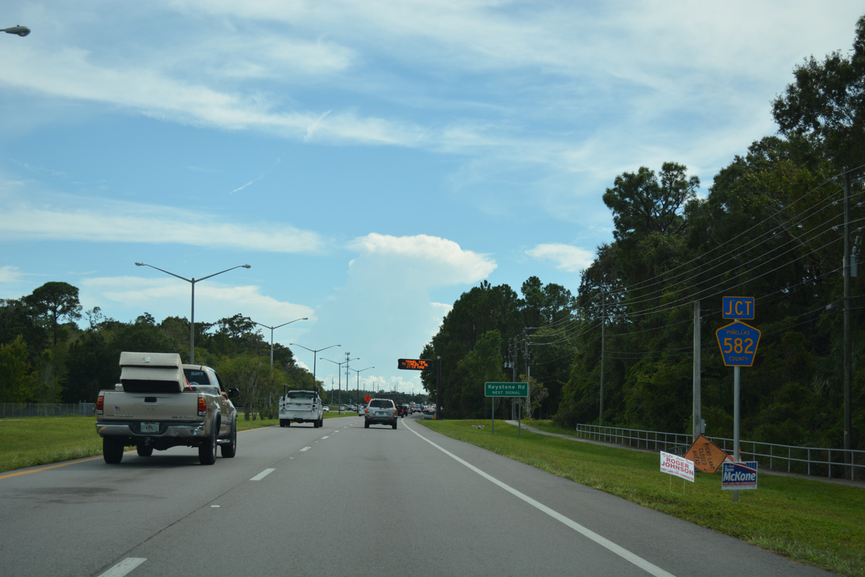
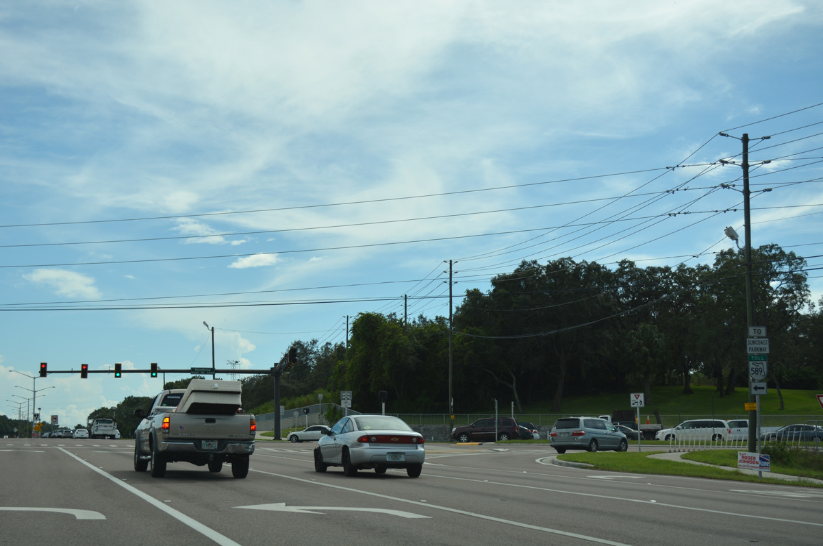
Advancing south between the Cypress Run and Crescent Oaks Country Club golf course communities, CR 611 (East Lake Road) approaches CR 582 (Keystone Road).
09/26/16
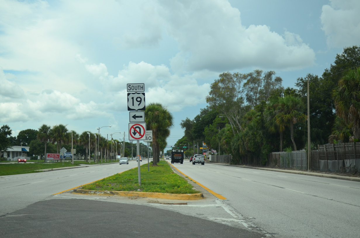
Formerly a longer route extending west to Downtown Tarpon Springs and east to U.S. 41 at Luz, County Road 582 travels just 5.84 miles west to U.S. 19 and east to the Hillsborough County line.
09/26/16
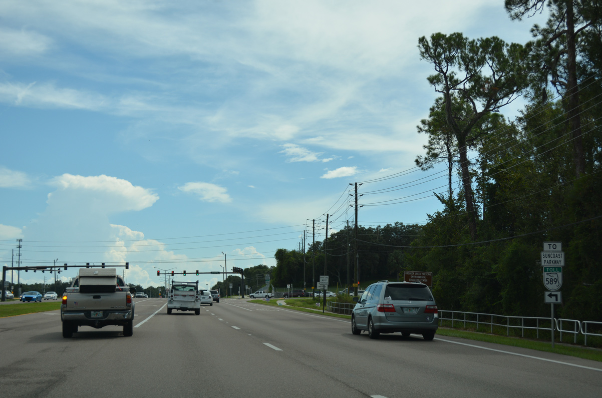
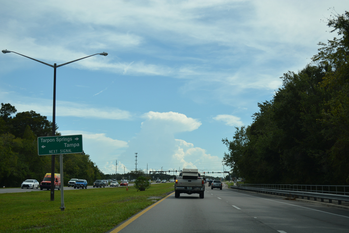
Tarpon Springs Road (former CR 582) extends from Keystone Road to Gunn Highway (CR 587) in Hillsborough County. Lutz Lake Fern Road and Van Dyke Road (CR 685A) stem east from Gunn Highway to interchanges with the Suncoast Parkway (SR 589).
09/26/16
Pinellas County Road 611 (McMullen-Booth Road) southbound after the intersection with SR 580 in northeast Clearwater.
06/23/07
The succeeding traffic light south of SR 580 is with Eastland Boulevard west to the Northwood Estates neighborhood in Clearwater.
04/20/19
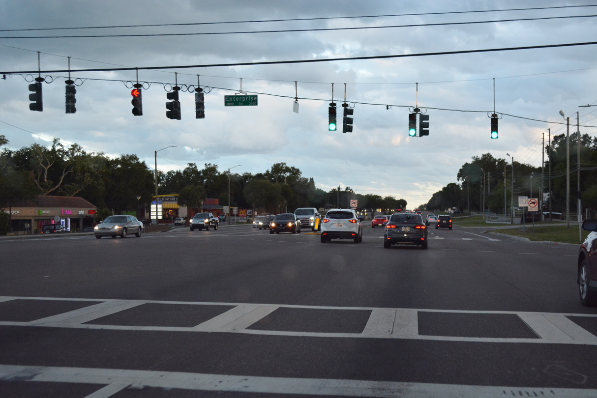
Enterprise Road (CR 638) crosses CR 611 between Safety Harbor to the east and Clearwater to the west. CR 638 follows Enterprise Road west 4.03 miles from SR 590 (Phillippe Parkway) to U.S. 19 and SR 580 (Main Street).
04/20/19
Southbound Pinellas County Road 611 shield posted after Enterprise Road in Safety Harbor.
04/20/19
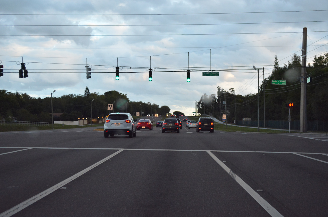
Entering the intersection with Union Street west into Clearwater and Cedar Street east into Safety Harbor on McMullen-Booth Road southbound.
04/20/19
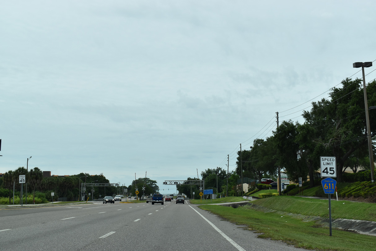
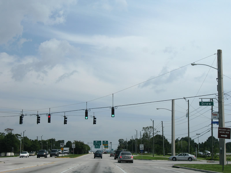
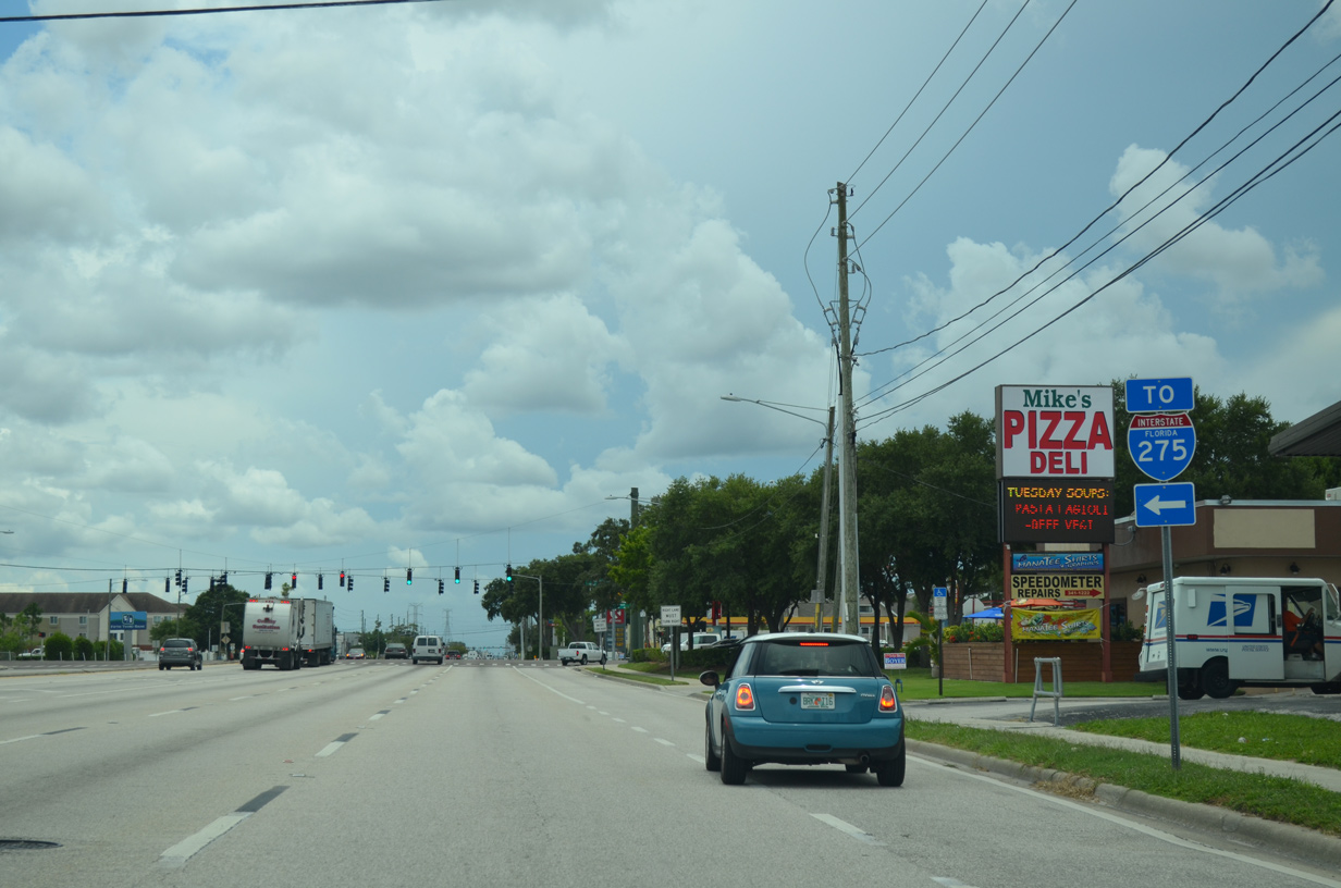
Pinellas County Road 611 is consistently signed along the McMullen-Booth Road between SR 580 and SR 60.
04/20/19
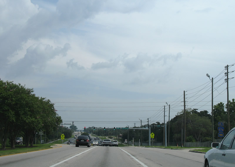
Junction CR 576 shield posted ahead of Sunset Point Road west and Main Street east. CR 576 ends at U.S. 19 Alternate (Edgewater Drive) to the west and 10th Avenue outside Downtown Safety Harbor to the east.
06/23/07
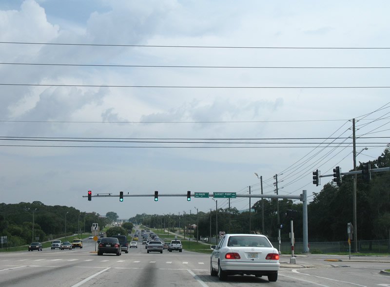
Crossing Sunset Point Road and Main Street on McMullen-Booth Road south.
06/23/07
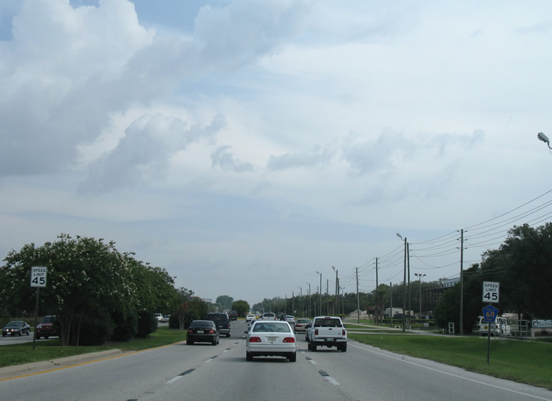
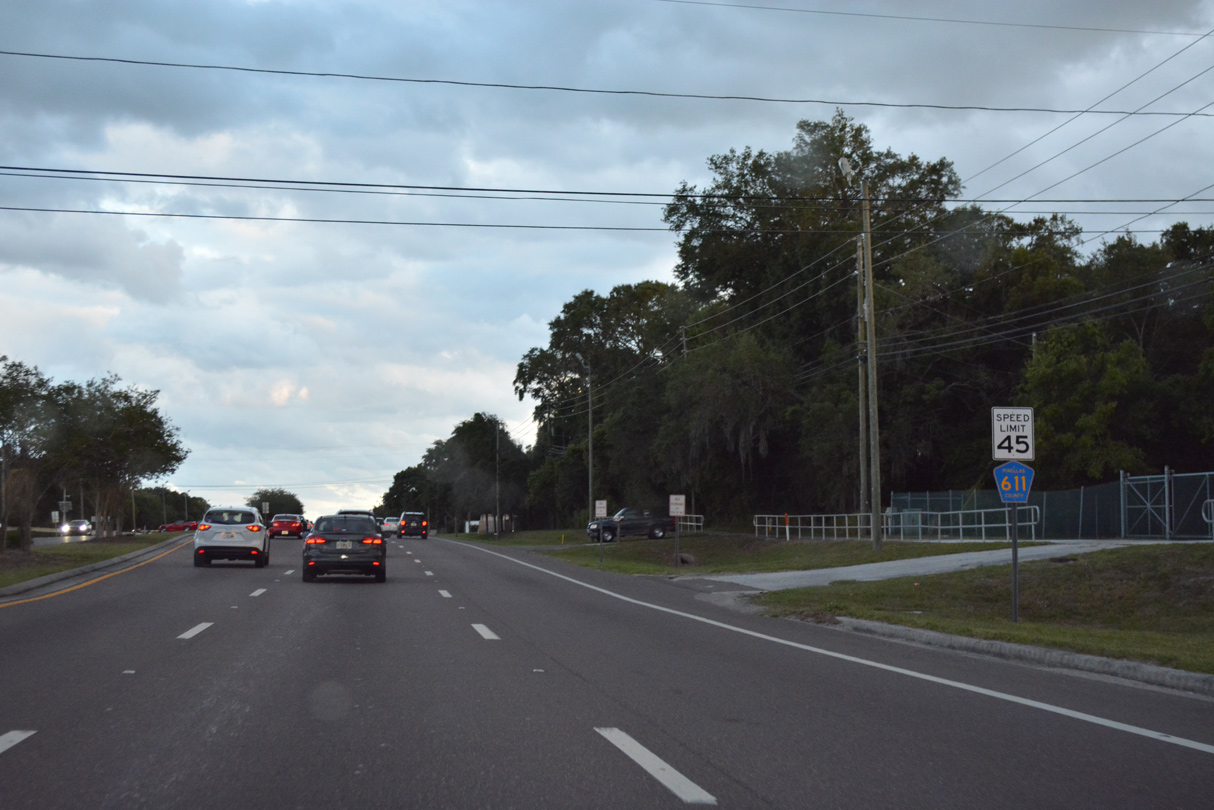
Continuing south of CR 576 (Sunset Point Road) on CR 611 south.
06/05/20
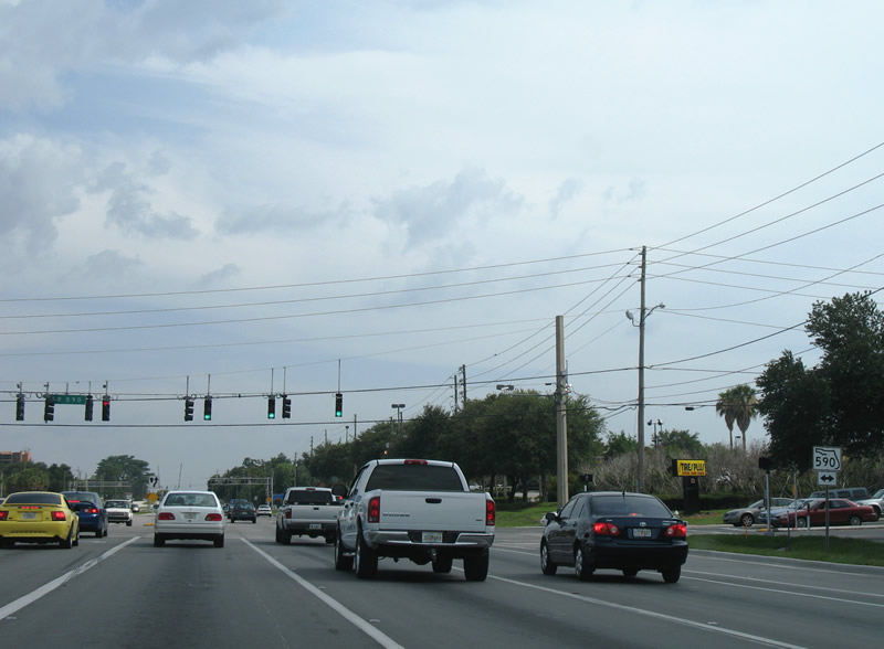
Forthcoming SR 590 follows a stair stepped route along 4th Street S and 14th Avenue S in Safety Harbor to 10th Street S west and CR 611 (McMullen-Booth Road).
06/05/20

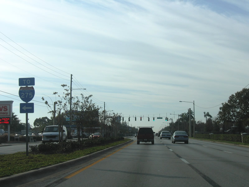
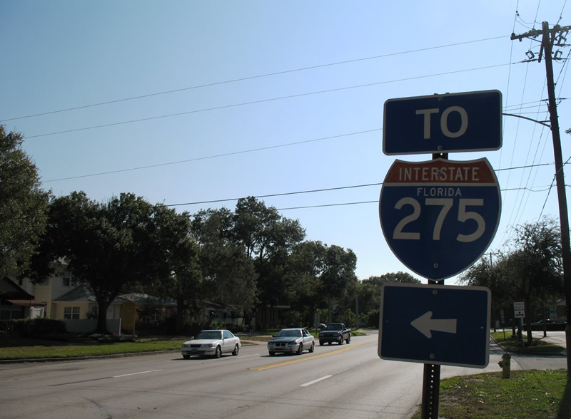
Heading into Clearwater, SR 590 angles southwest along NE Coachman Road to Drew Street and U.S. 19 Alternate at Downtown.
06/05/20
Continuing south from SR 590, CR 611 (McMullen-Booth Road) wholly enters the city of Clearwater across Alligator Creek.
06/05/20
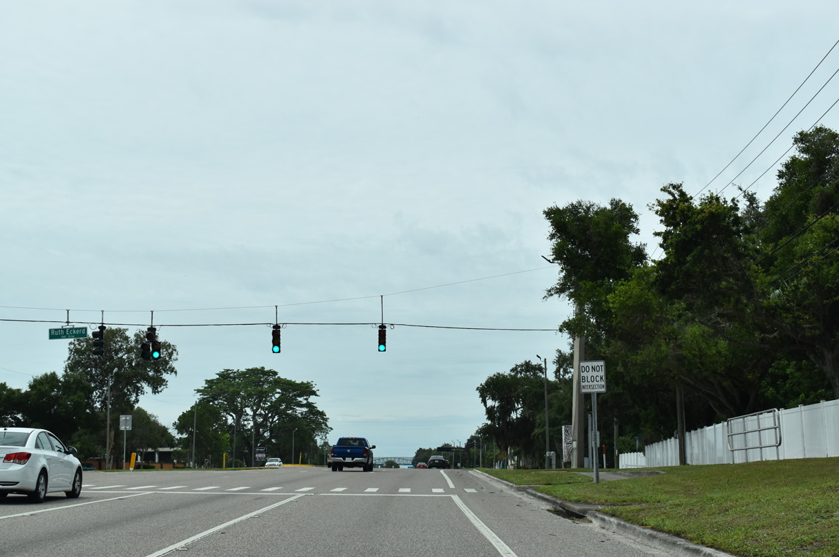
Ruthe Eckerd Hall Drive is the access road east from McMullen-Booth Drive to Ruth Eckerd Hall, a concert and entertainment venue.
06/05/20
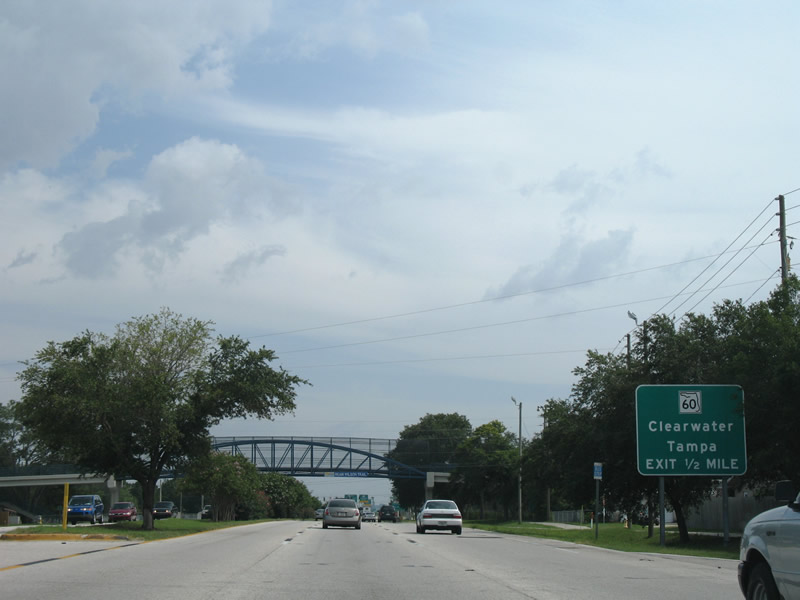
McMullen-Booth Road advances south beyond the E.C. Moore Recreational Complex a half mile to the exchange with SR 60 (Gulf to Bay Boulevard). SR 60 joins Clearwater Beach with Tampa International Airport (TPA) and Tampa.
06/05/20
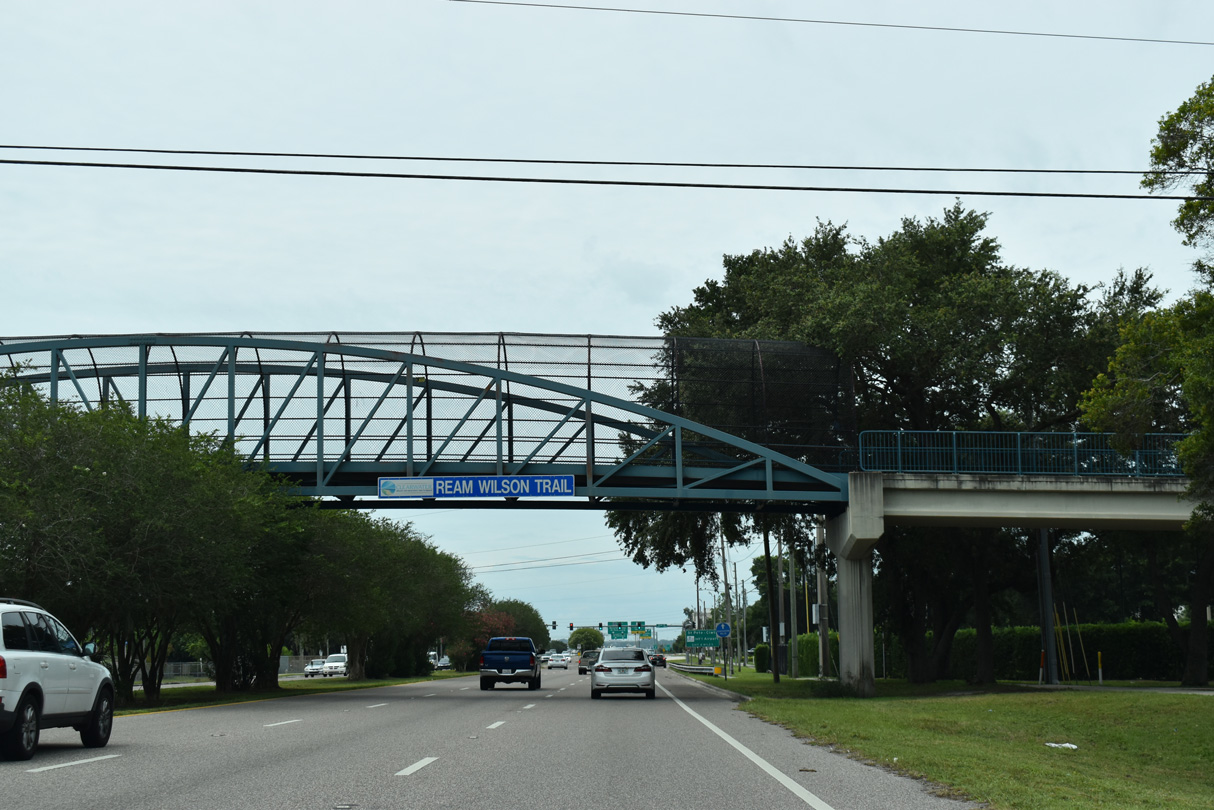
Ream Wilson Trail spans CR 611 between the E.C. Moore Recreational Complex and Del Oro Park.
06/05/20
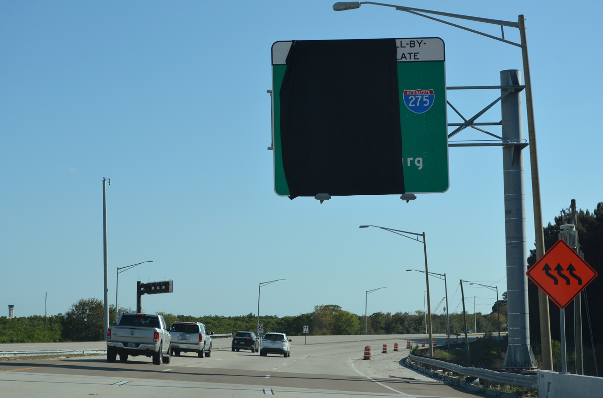
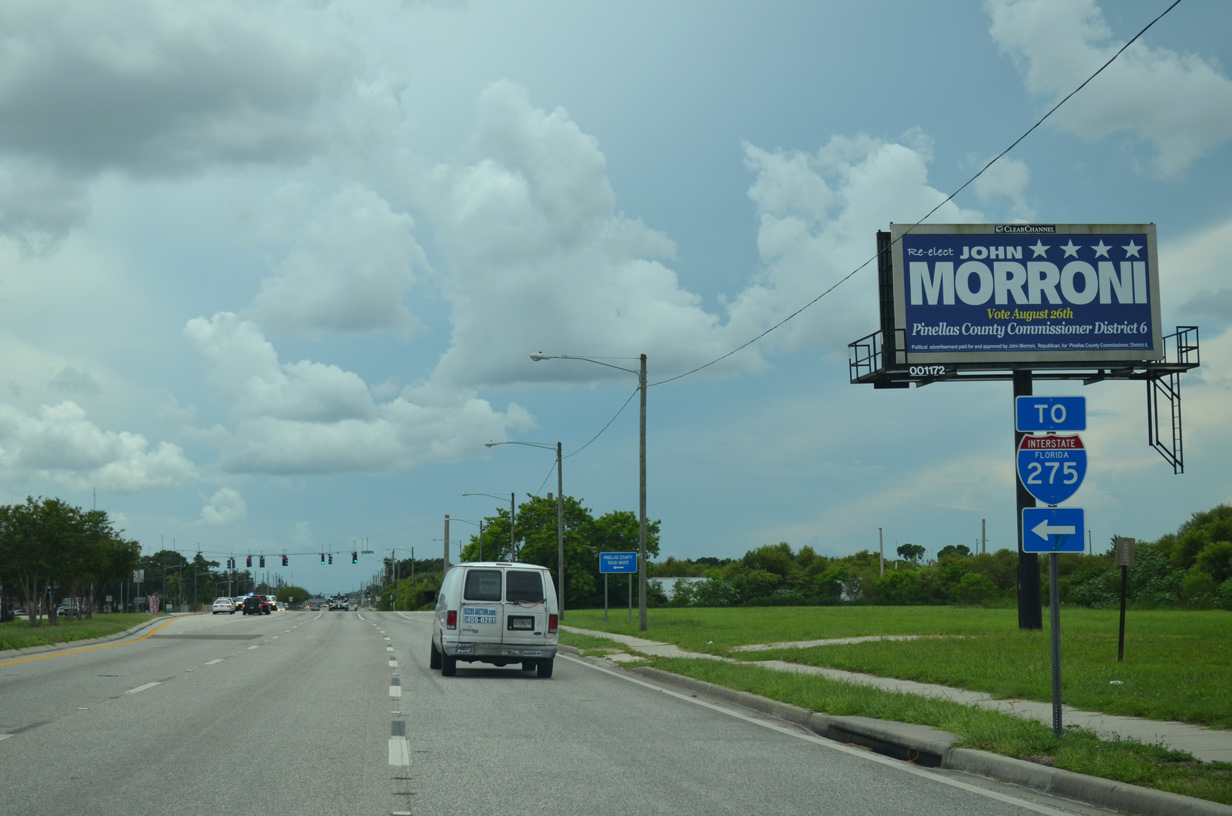
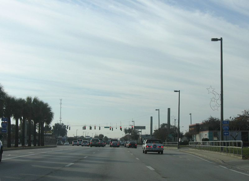
The exit for SR 686 (Roosevelt Boulevard) to St. Pete-Clearwater International Airport (PIE) is four miles south of Drew Street along Pinellas County Route 611.
06/05/20

Drew Street extends east from SR 590 (NE Coachman Road) as CR 528 to U.S. 19 and an unnumbered arterial east to CR 611 (McMullen-Booth Road). Drew Street ends nearby at Bayshore Boulevard, off Cooper's Bayou.
06/05/20
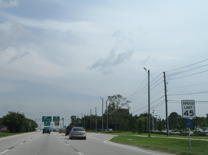
Reassurance markers for county roads in Pinellas often are paired with speed limit signs, such as this reassurance marker for CR 611 south of Drew Street. However, this assembly was removed by 2014.
06/23/07

A lane drop occurs along McMullen-Booth Road southbound at the single point urban interchange (SPUI) with SR 60 (Gulf to Bay Boulevard). Gulf to Bay Boulevard comprises a six lane arterial leading west to Downtown Clearwater and east to Courtney Campbell Causeway across Old Tampa Bay.
02/27/22
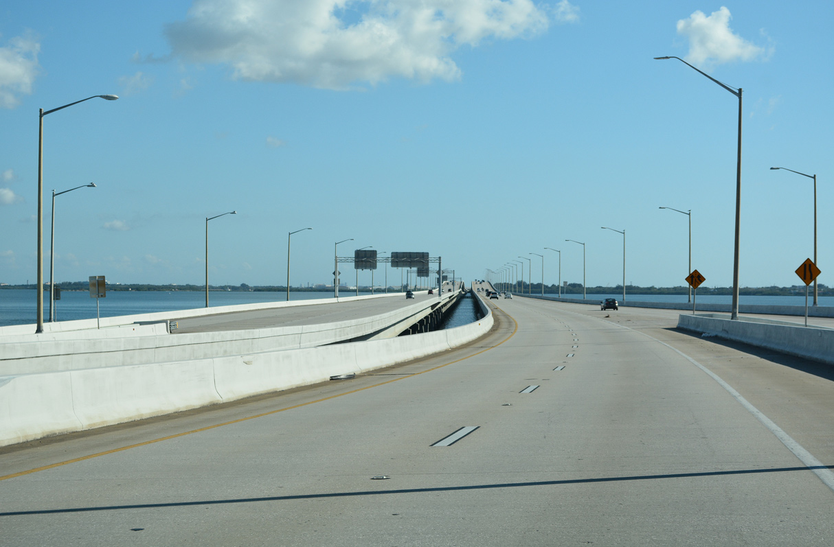
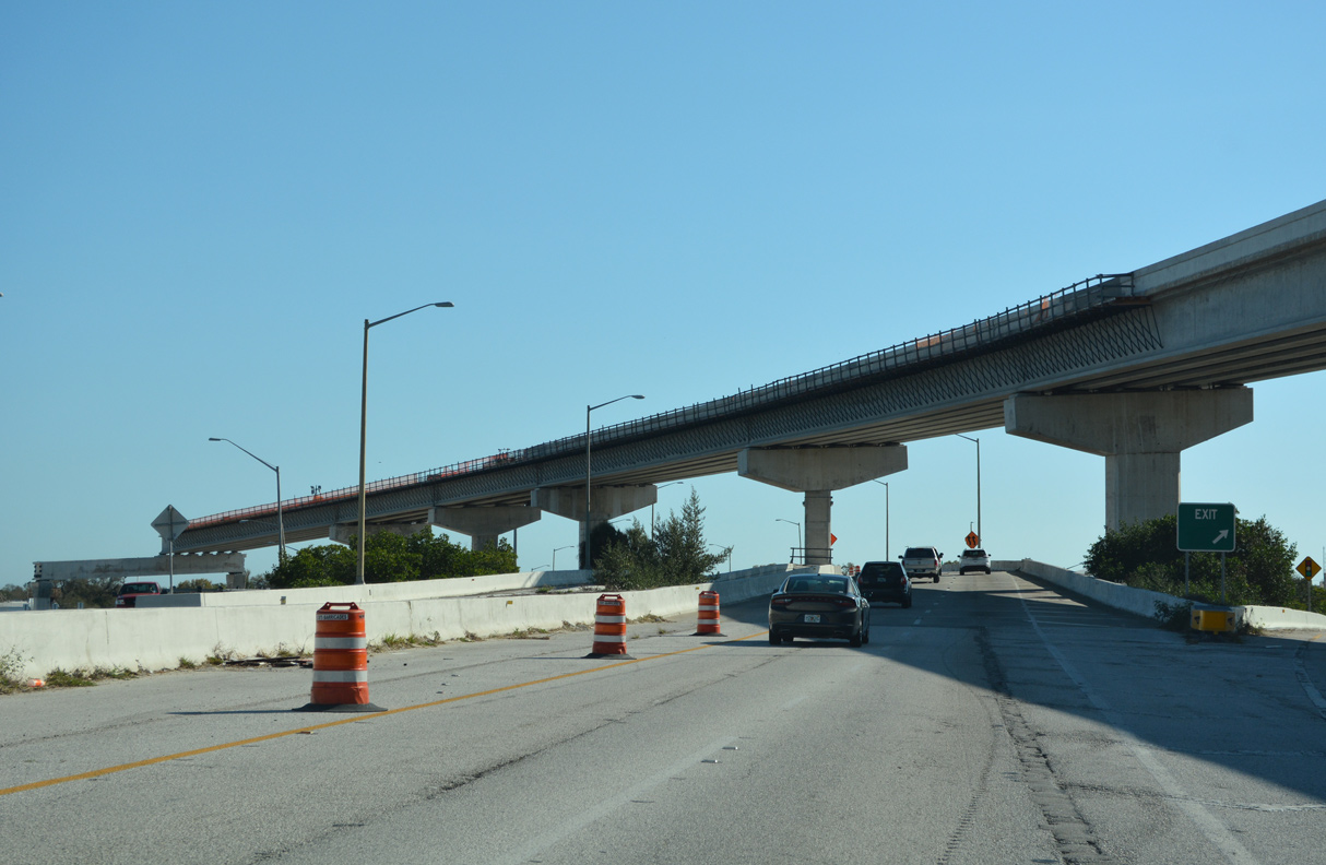
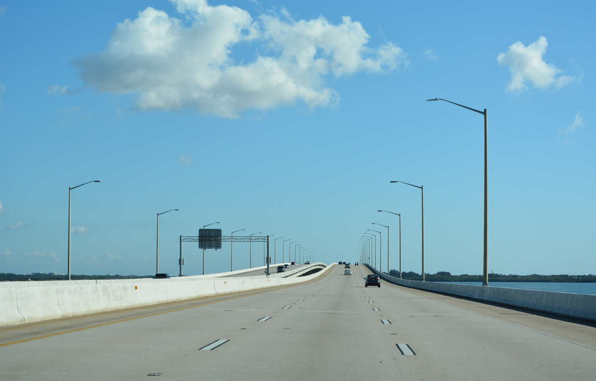
Beyond the bottleneck above SR 60, CR 611 upgrades into a six lane freeway along the Bayside Bridge south to High Point and Largo. Overall SR 60 travels west to Clearwater Beach and east to Vero Beach.
02/27/22
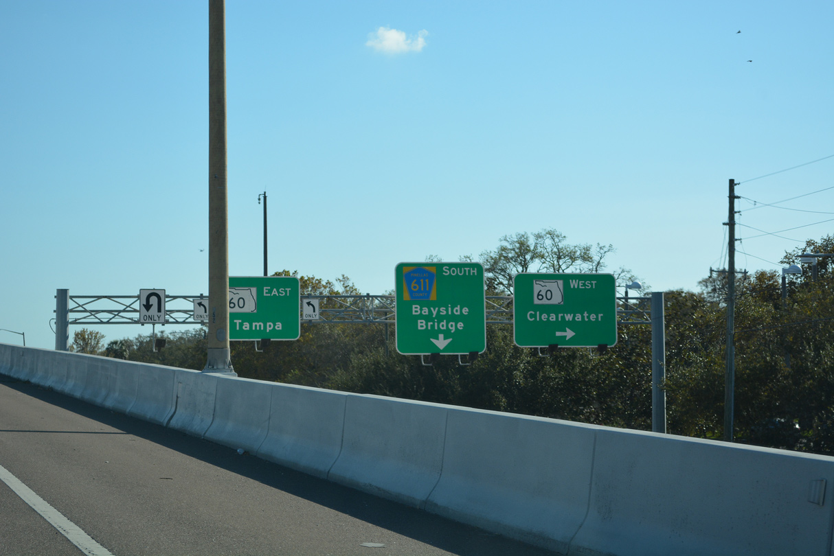
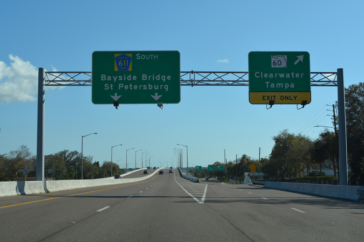
Traffic on the ramp from CR 611 south to SR 60 partitions for Gulf to Bay Boulevard, the Bayside Bridge and a U-turn ramp. SR 60 heads west 1.25 miles to U.S. 19 at Clearwater Mall and ten miles east across Old Tampa Bay to SR 589 (Veterans Expressway).
02/27/22
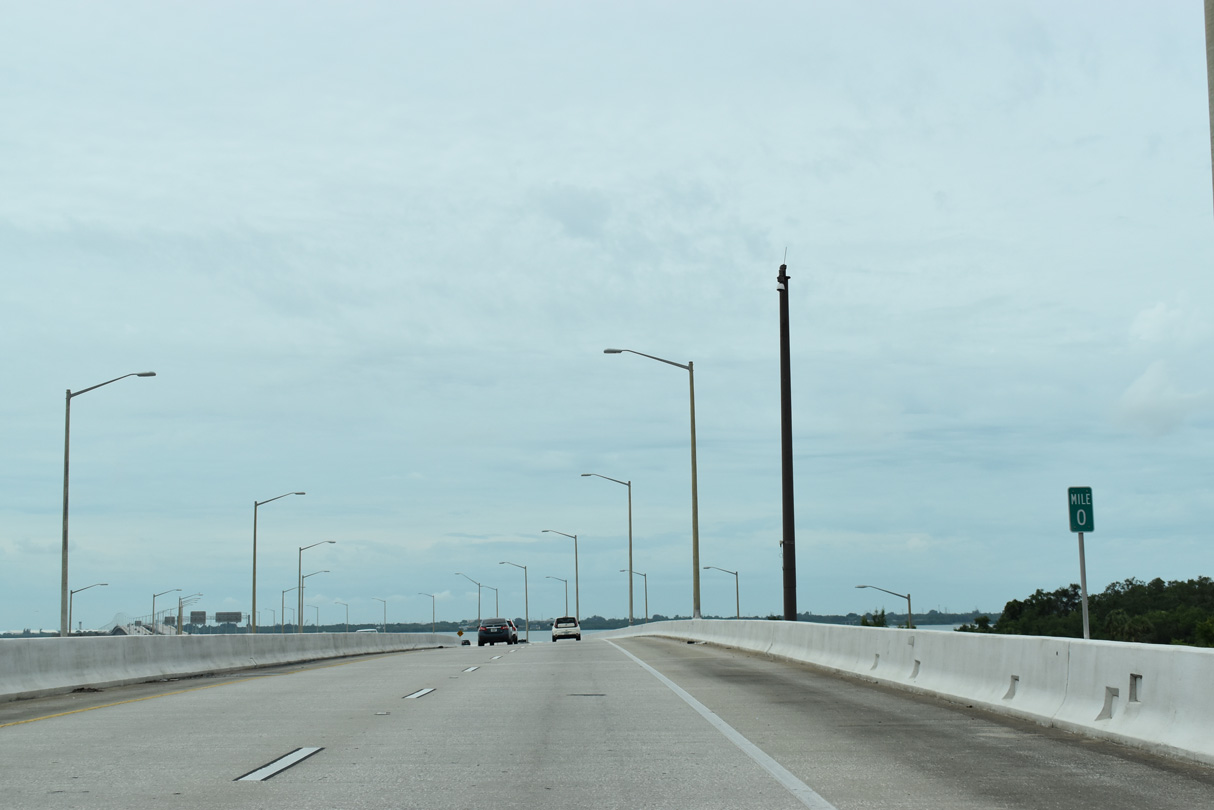
Increasing southward, mileposts are posted along the Bayside Bridge starting above SR 60 (Gulf to Bay Boulevard).
06/05/20
The Bayside Bridge originated in a 1972 proposal for Pinellas Parkway, an expressway leading northeast from U.S. 19 to Safety Harbor. That proposal was rejected in 1976, but the need for the crossing over western Old Tampa Bay continued with subsequent congestion along U.S. 19 (Cozart, n.d.).
02/27/22
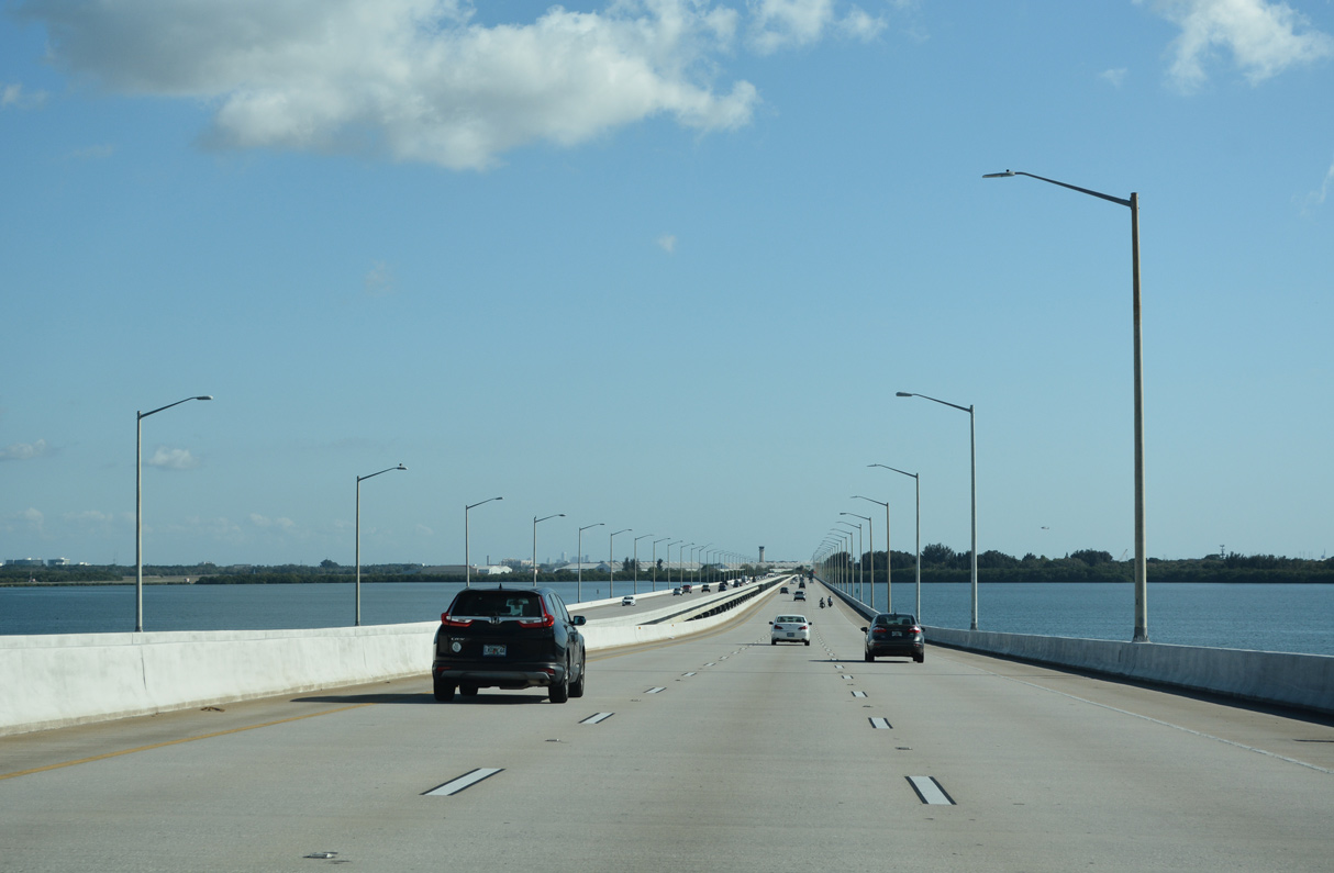
Construction on the Bayside Bridge commenced on January 1, 1988. The $110 million span was planned as a toll road, but opened instead as a free crossing with funding from a 1 cent gas tax increase. The six lane bridge system opened to traffic on June 2, 1993 (Cozart, n.d.).
04/26/24
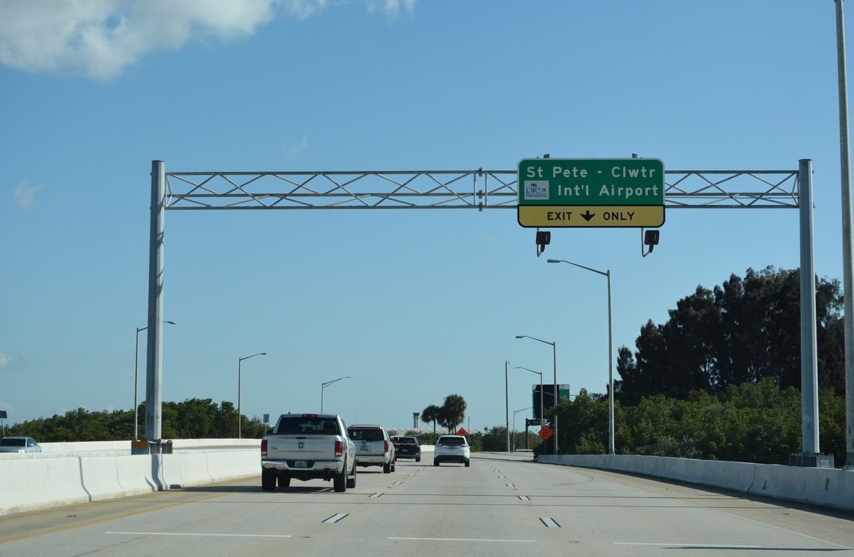
CR 611 (Bayside Bridge) reduces to four lanes through the diamond interchange with SR 686 (Roosevelt Boulevard). SR 686 links the freeway with adjacent St. Pete-Clearwater International Airport (PIE).
04/26/24
Construction for the Gateway Expressway started on August 21, 2017. The leg along SR 686A branches south from the Bayside Bridge to the section of the elevated toll road along SR 690 over 118th Avenue N. The expressway system opened to traffic on April 26, 2024.
02/27/22

State Road 686 (Roosevelt Boulevard) leads west into central Largo and east to the Gateway section of St. Petersburg.
02/27/22
A high speed flyover links the Bayside Bridge south with the Gateway Expressway along SR 686A. SR 686A bypasses PIE Airport with no exits between CR 611 and SR 690 east.
02/27/22
A 10.82 mile long route, SR 686 east overlaps with SR 688 (Ulmerton Road) beyond PIE Airport to the Carillon area and north St. Petersburg.
04/28/24
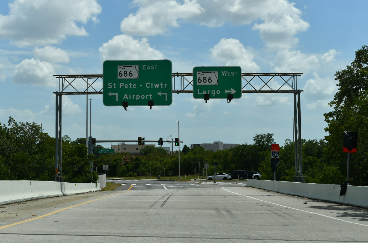
Westward from CR 611, Roosevelt Boulevard becomes E Bay Drive at U.S. 19 en route to Largo and W Bay Drive (CR 416) to Belleair Bluffs.
04/28/24
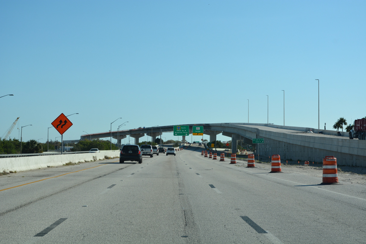
CR 611 transitions from the Bayside Bridge to 49th Street N beyond the ramps with SR 686 (Roosevelt Boulevard) and SR 686A (Gateway Expressway).
02/27/22

49th Street N comprises a six lane boulevard south from SR 686 (Roosevelt Boulevard). The ensuing traffic light is with 144th Avenue N.
02/27/22
140th Avenue N follows along CR 611 southbound from adjacent industrial parks along 49th Street N at South Highpoint.
02/27/22
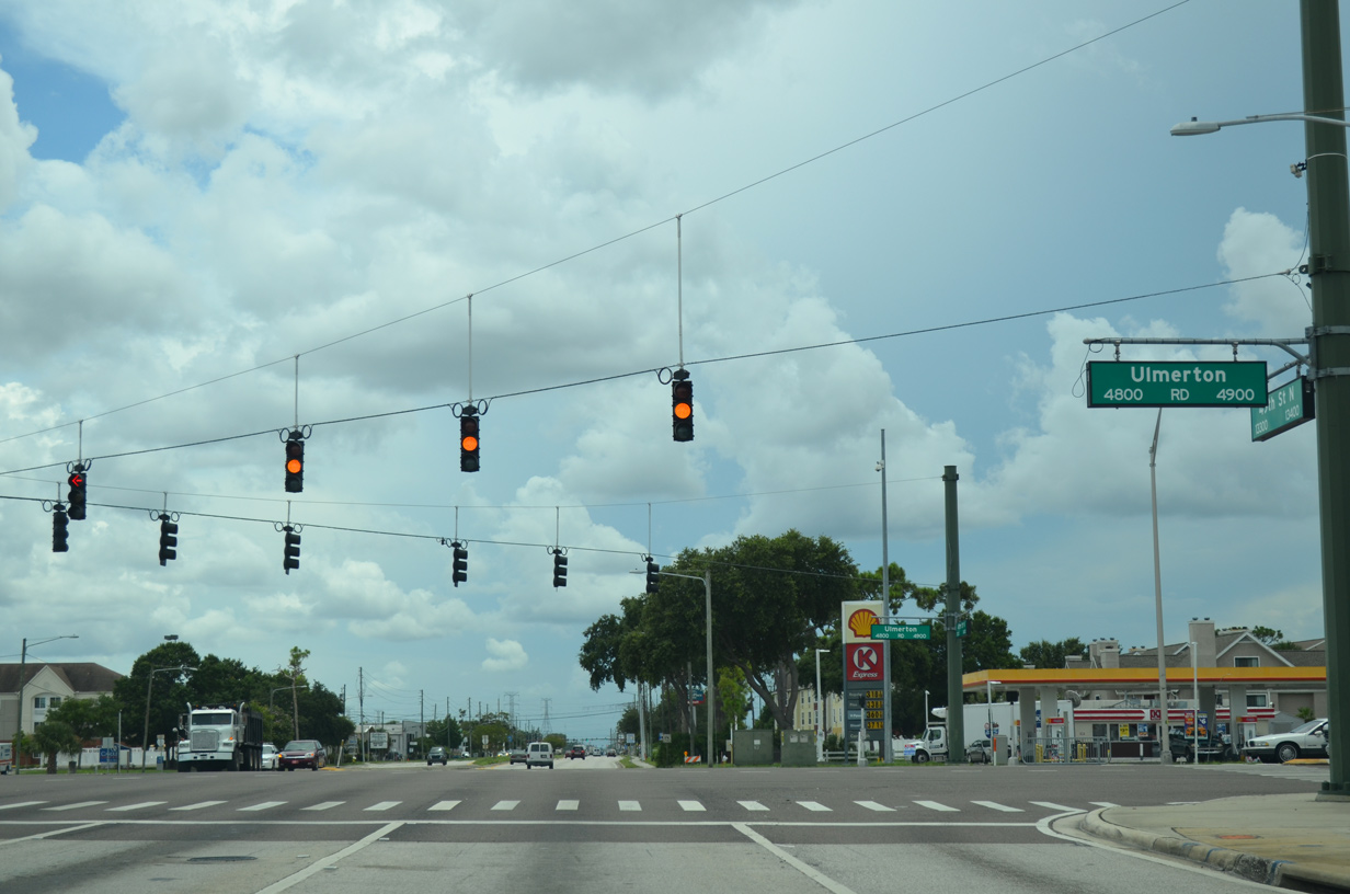
SR 688 (Ulmerton Road) leads 3.1 miles east from CR 611 (49th Street N) to Interstate 275 at the Howard Frankland Bridge.
02/27/22
Trailblazers for I-275 with the state name preceding SR 688 were replaced by 2025. The new shields use Arial font.
02/27/22
CR 611 (49th Street N) and SR 688 (Ulmerton Road) converge at a large intersection along the Largo and Pinellas Park city line. Ulmerton Road constitutes a six to eight lane arterial from Feather Sound and I-275 in north St. Petersburg west across Largo to Walsingham Park.
06/11/20
08/05/14
126th Avenue N serves a number of warehouses and industrial businesses in north Pinellas Park.
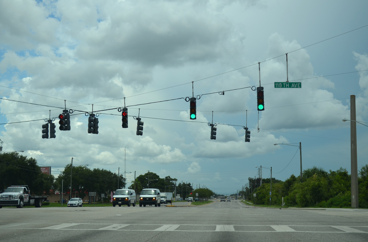
06/11/20
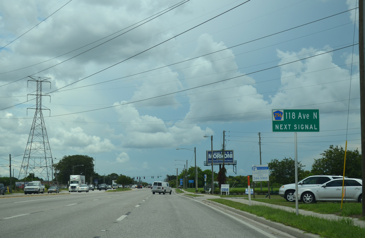
Progressing south through Pinellas Park, CR 611 (49th Street N) next meets CR 296 (118th Avenue N). This advance sign for the signalized intersection with 118th Avenue N was removed by 2021.
06/11/20
CR 296 (118th Avenue N) parallels the Gateway Expressway (SR 690) east to the exchange with Interstate 275 at SR 686 (Roosevelt Boulevard). There is no access to the elevated toll road from 49th Street N.
04/28/24
CR 611 south at CR 296 (118th Avenue N) in Pinellas Park. West from U.S. 19, CR 296 transitions onto Bryan Dairy Road and turns southwest to a SPUI with SR 693 (66th Street N), Lake Seminole and the city of Seminole.
04/28/24
49th Street N south at 110th Avenue N in Pinellas Park.
08/05/14
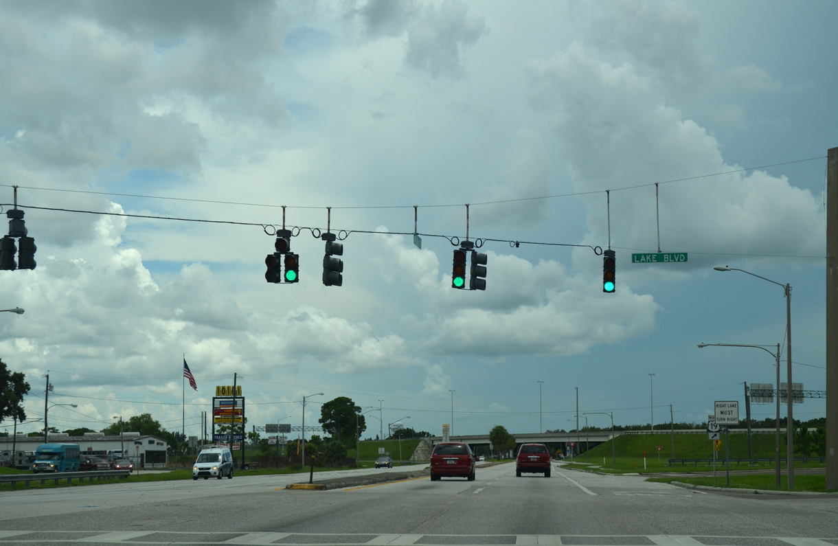
Approaching the parclo interchange with U.S. 19, 49th Street N intersects Lake Boulevard east to The Lakes manufactured home community.
08/05/14

The entrance ramp for U.S. 19 north to Largo and Clearwater departs CR 611 (49th Street N) south.
08/05/14
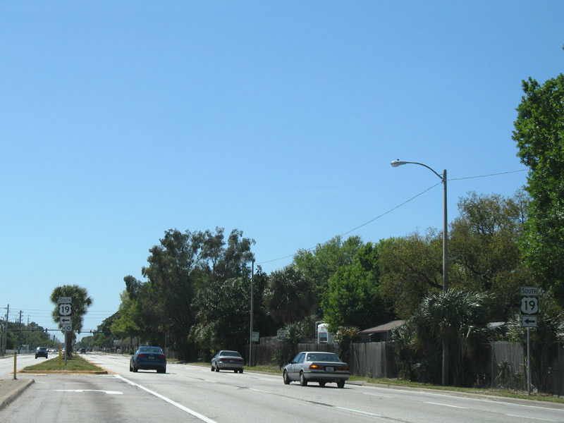
Reassurance shields for Pinellas County Road 611 begin to appear at U.S. 19 and are somewhat consistently posted southward through Pinellas Park and St. Petersburg.
08/05/14
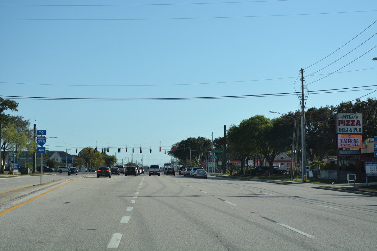
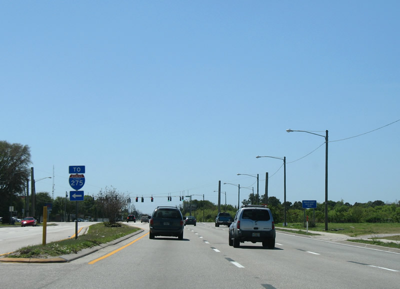
A left turn connects CR 611 southbound with U.S. 19 south toward Lealman and St. Petersburg. U.S. 19 comprises a six lane commercial arterial south to SR 682 (Pinellas Bayway) and the merge with I-275 at Pinellas Point.
03/25/07
08/05/14
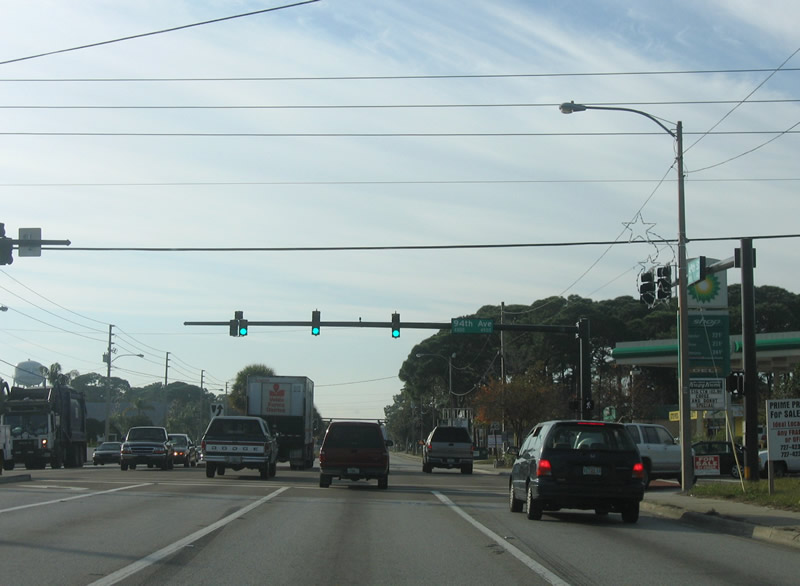
94th Avenue North leads west from CR 611 to Helen S. Howarth Park and SR 693 (66th Street N) in Pinellas Park.
01/02/06
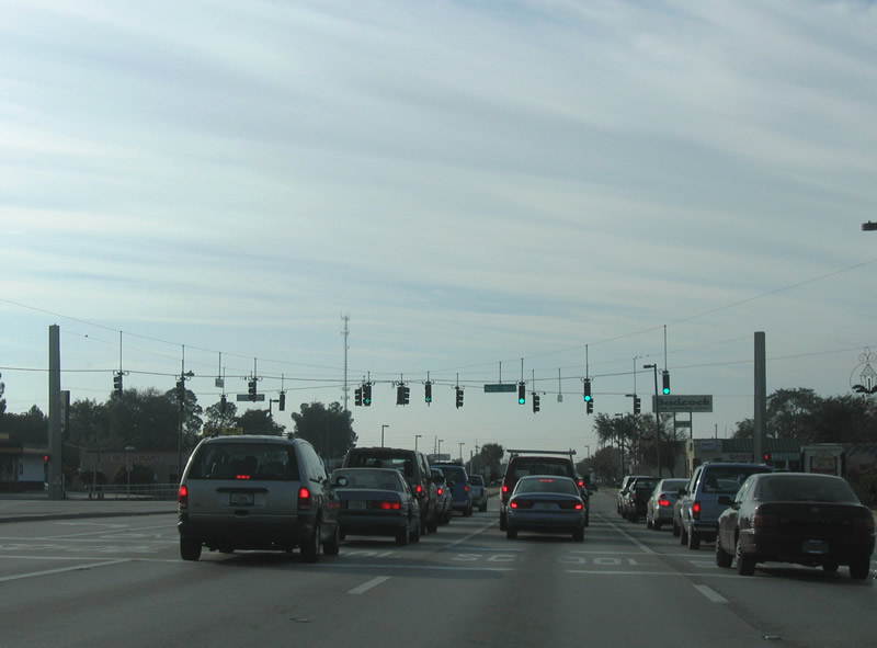
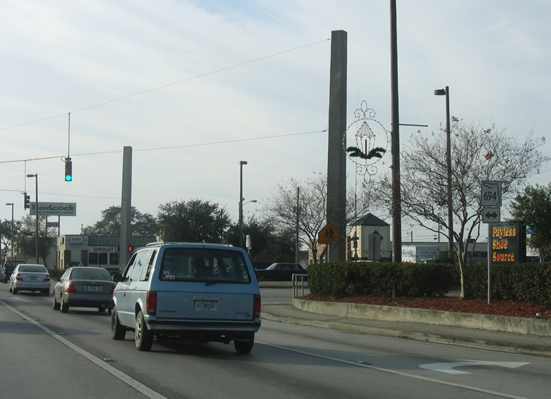
Advancing south through Pinellas Park, CR 611 (49th Street N) next meets SR 694 (Park Boulevard). Representing the main route across the city, SR 694 / CR 694 links the Gateway area of St. Petersburg and the Gandy Bridge (U.S. 92) to the east with Seminole and Indian Shores to the west.
01/02/06
SR 694 (Park Boulevard) travels a short distance east to U.S. 19 and Gandy Boulevard at the Shoppes of Park Place. Westward Park Boulevard continues 1.75 miles to SR 693 (66th Street N), where state maintenance concludes.
01/02/06
I-275 trailblazer posted ahead of 54th Avenue N (CR 202) on southbound CR 611 (49th Street N). 54th Avenue N leads east to a six-ramp parclo interchange with Interstate 275 and 1st Street N at the Edgemoor neighborhood in St. Petersburg. The four lane boulevard continues west to Kenneth City and CR 1 (Park Street) by Cross Bayou.
01/02/06
CR 611 (49th Street N) south at U.S. 19 Alternate/SR 595 (5th Avenue N) in St. Petersburg. U.S. 19 Alternate follows 5th Avenue north west to Tyrone Boulevard and east to I-275 at 20th Street N and U.S. 92/SR 687 (4th Street N) outside Downtown.
12/17/08
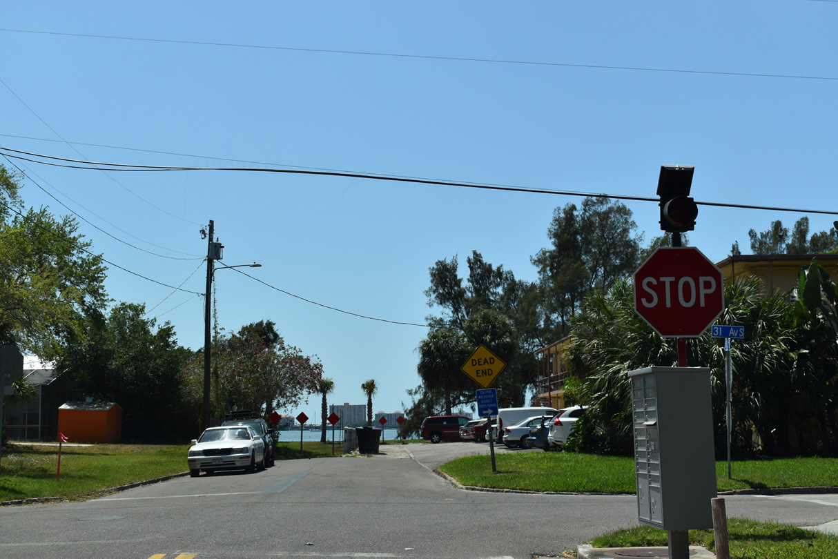
Pinellas County Road 611 south ends at the intersection of 49th Street S at 31st Avenue S just off Boca Ciega Bay in Gulfport.
04/03/20
References:
Cozart, J. (n.d.). Pinellas Bridges and Causeways. Retrieved from BayCiti.net.
Photo Credits:
- Alex Nitzman: 03/25/07, 06/23/07, 12/17/08, 08/05/14, 09/26/16, 11/06/18, 04/20/19, 02/27/22, 04/26/24
- ABRoads: 04/03/20, 06/05/20, 06/11/20
- Brent Ivy: 04/28/24
- AARoads: 01/02/06
Connect with:
Page Updated Saturday February 14, 2026.