
Alpine County Route E-1


The lone marker for Alpine County Route E-1 appears at the intersection of SR 4/89 and Montgomery Street in Markleeville. - 07/25/2009
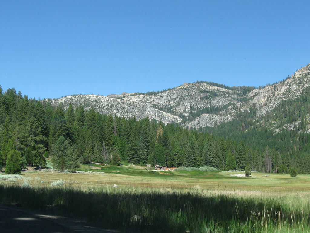
Alpine County Route E-1 spurs 3.6 miles west from California State Route 4/89 in Markleeville to Grover Hot Springs State Park.
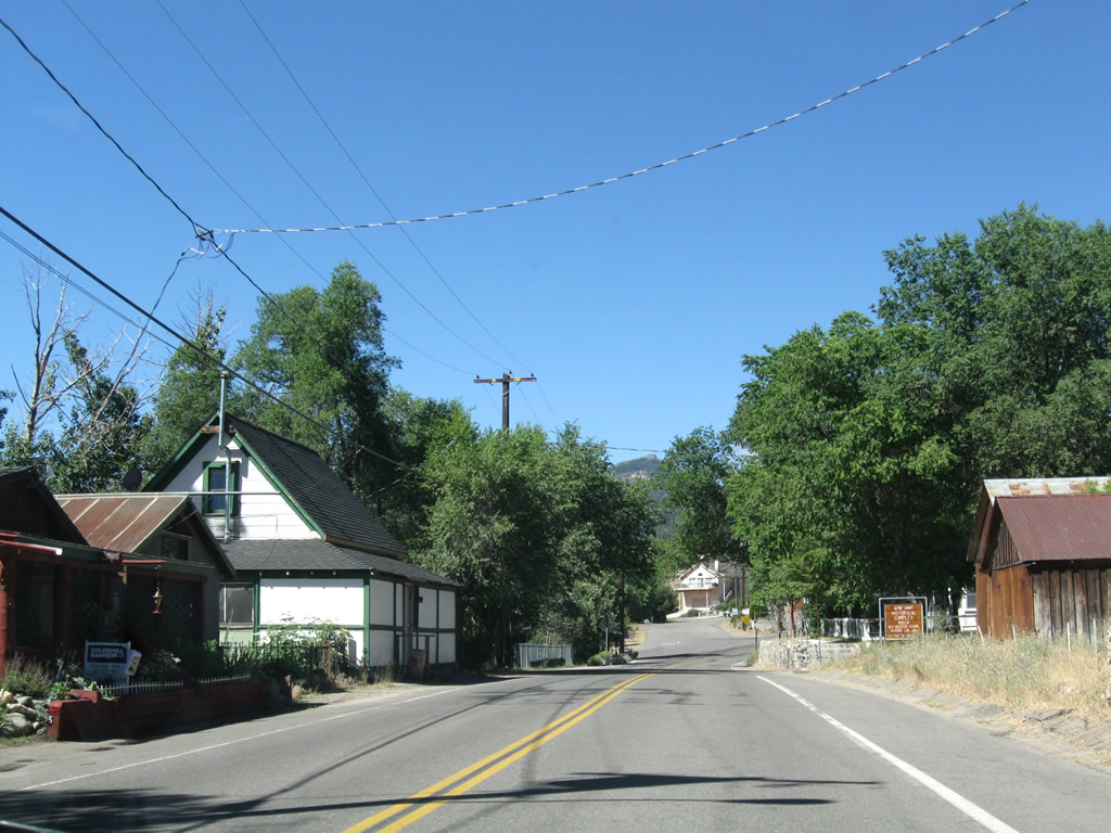
Alpine County E-1 follows Montgomery Street west from SR 4 & 89 through Markleeville, then splits onto Hot Springs Road the rest of the way to Grover Hot Springs State Park.
07/25/09

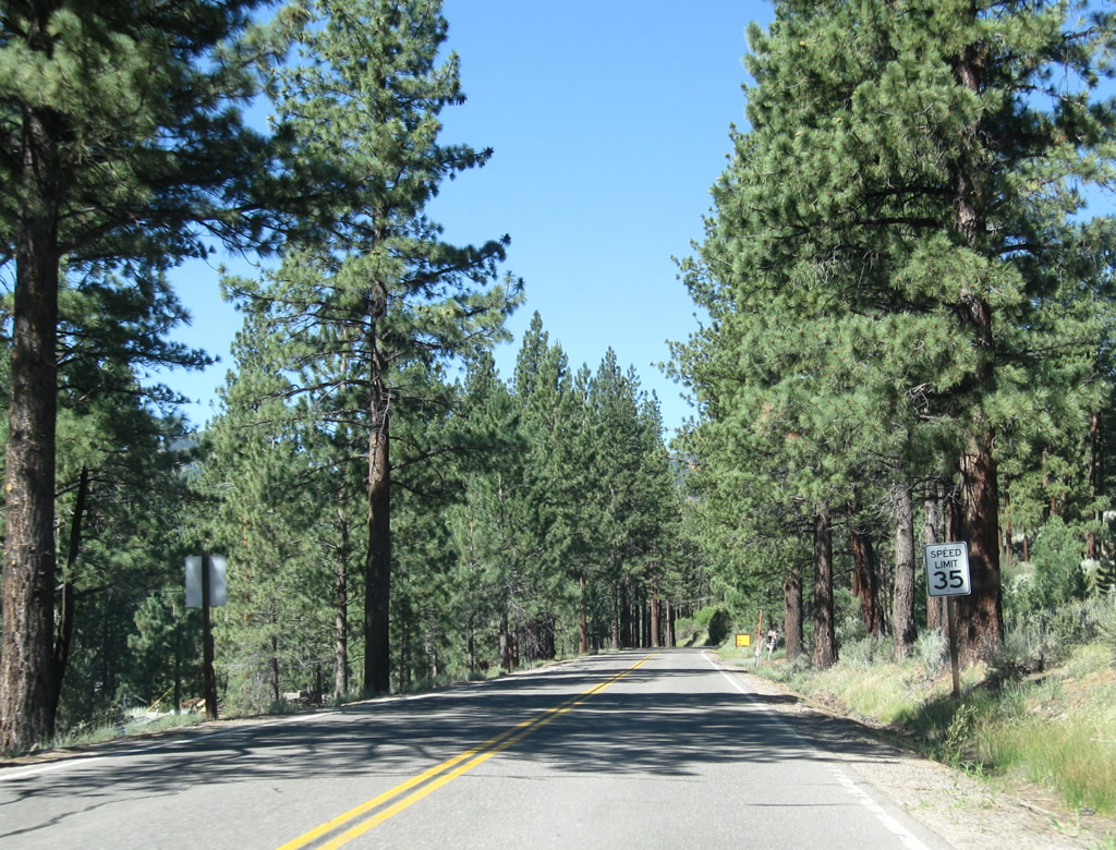
County Road E-1 shifts onto Hot Springs Road from Montgomery Street. Laramie Street ties into the wye intersection from the south. Grover Hot Springs State Park lies four miles to the west.
07/25/09
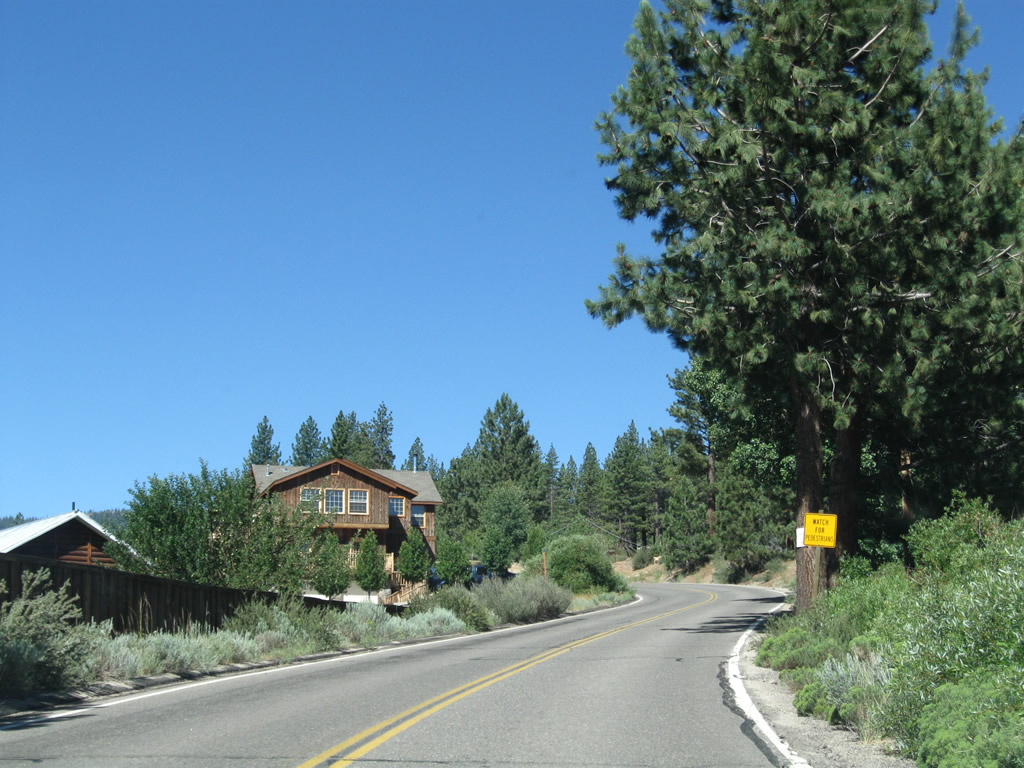
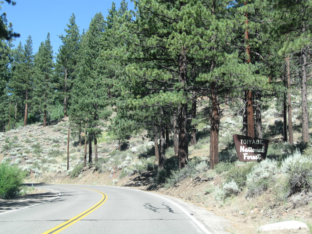
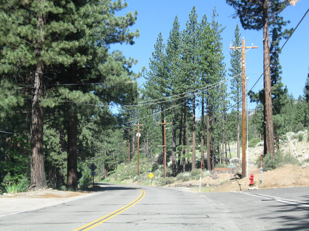
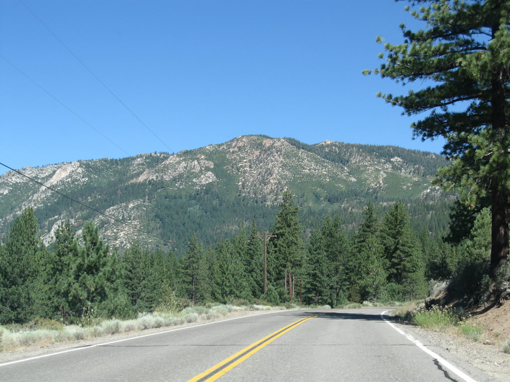
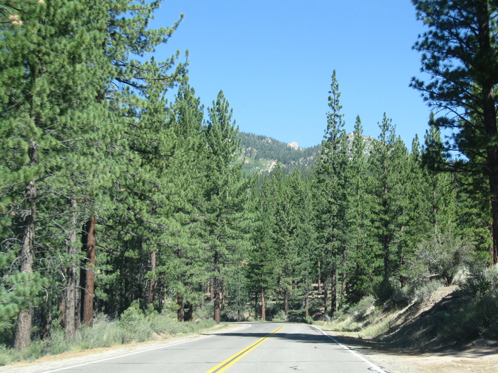
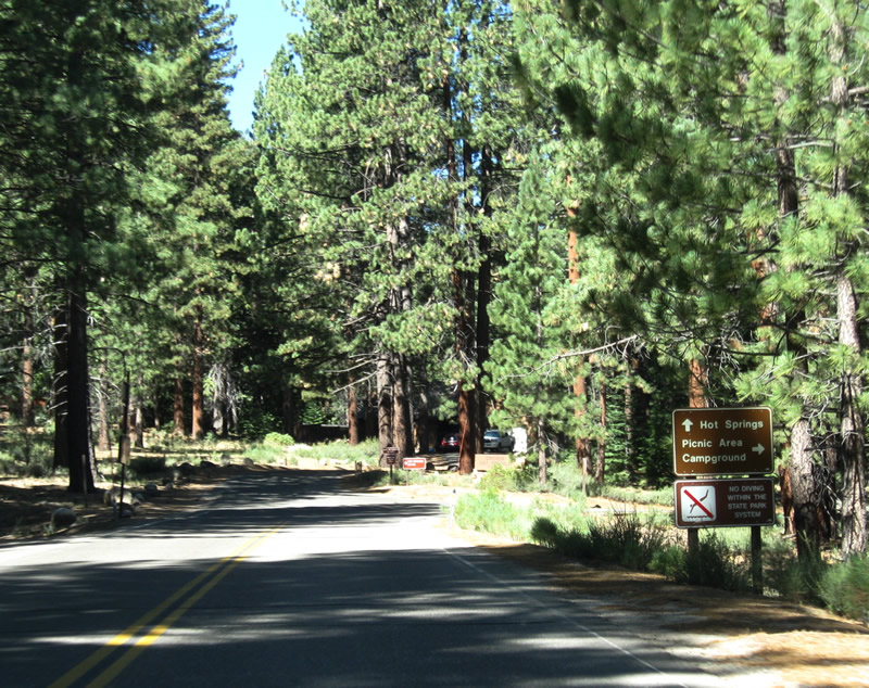
Leaving Markleeville, Alpine County E-1 follows Markleeville Creek into Humboldt-Toiyabe National Forest. This county roads serves several rural homes and ultimately ends at the entrance to the state park.
07/25/09
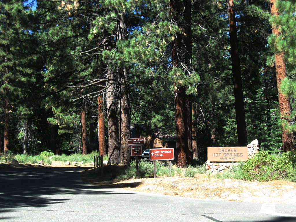
Alpine County E-1 comes to its western end at the entrance to Grover Hot Springs State Park.
07/25/09
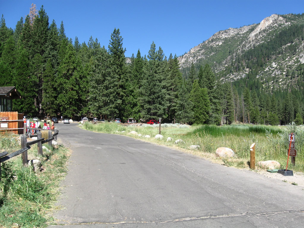
Activities at the Grover Hot Springs State Park include hiking, swimming, camping, and fishing.
07/25/09
References:
CR E-1 spurs west from SR 4/89 to Grover Hot Springs State Park in Alpine County, California.Photo Credits:
- Andy Field: 07/25/09
Connect with:
Page Updated Tuesday August 15, 2017.