
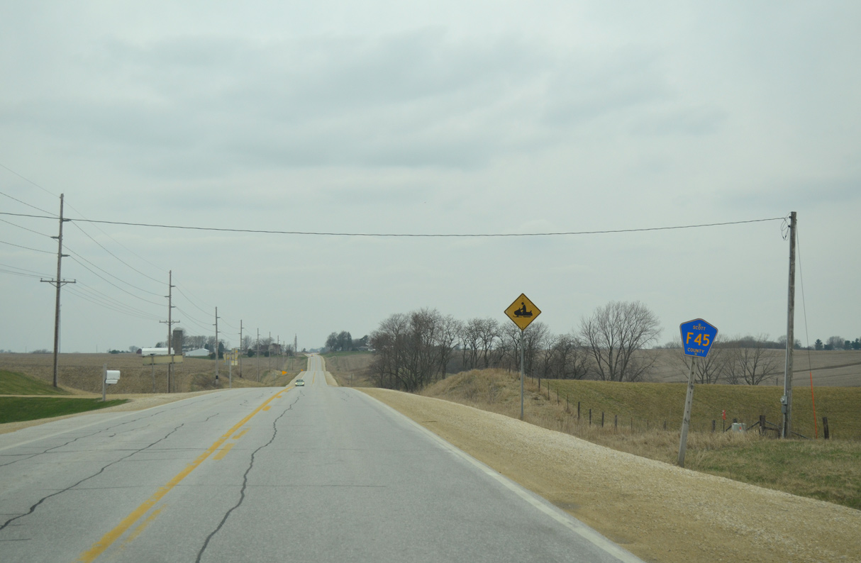
County Road F45

With the exception of LeClaire Road through the city of Eldridge, CR F45 lines 240th Street east from CR Y52 (115th Avenue) to CR Z30 (240th Avenue) in north central Scott County. 240th Street runs 12.6 miles. Overtaking 240th Avenue from CR Z30, CR F45 dog legs north to 257th Street east. The county road ends at the Princeton city line, where 257th Street intersects 270th Avenue south.
Scott County F45 (240th Street) ends at 155th Avenue / Buttermilk Road at the west Eldridge city line. LeClaire Road east takes over east to 1st Street at the city center.
04/01/16
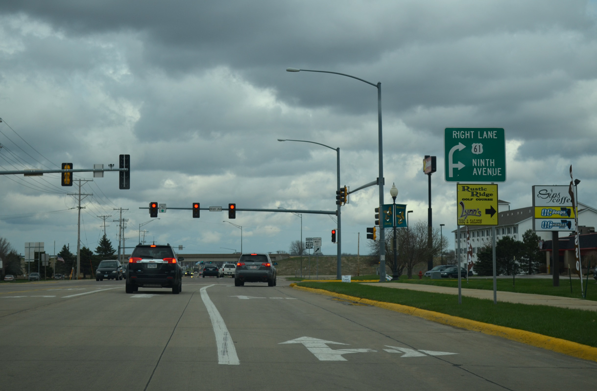
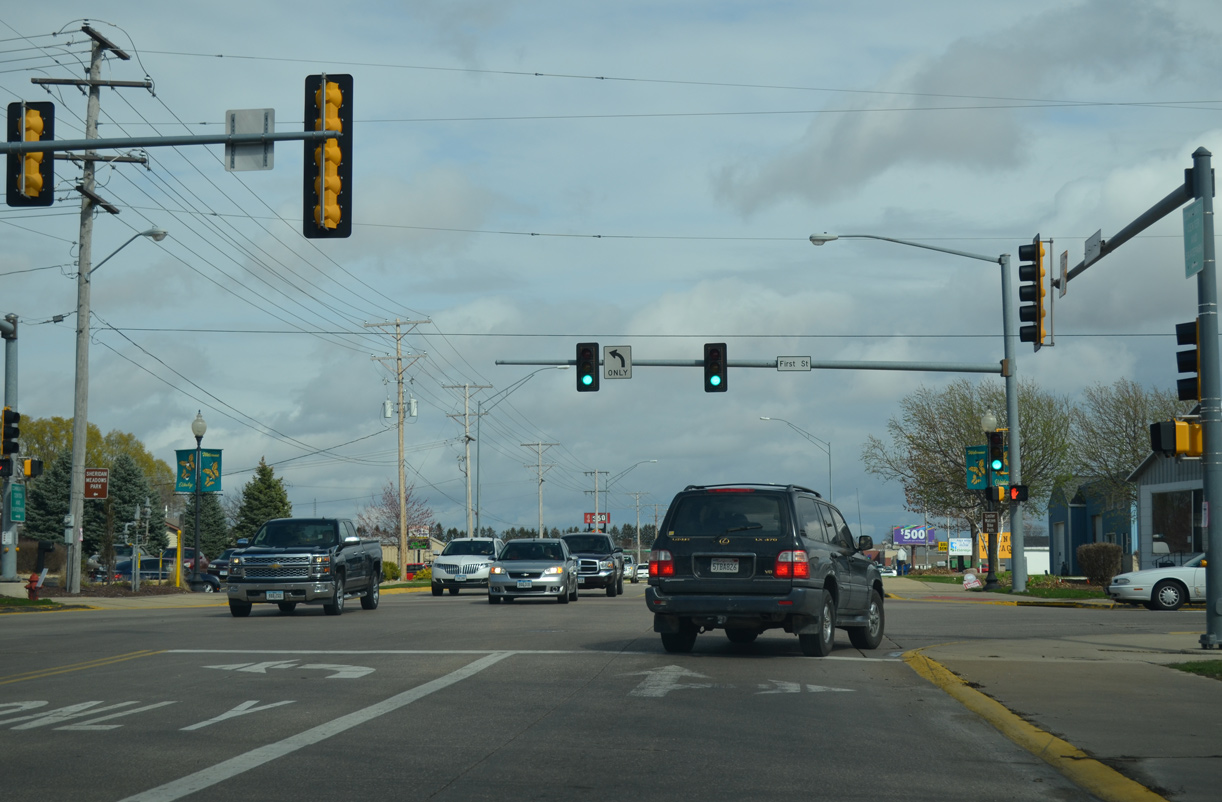
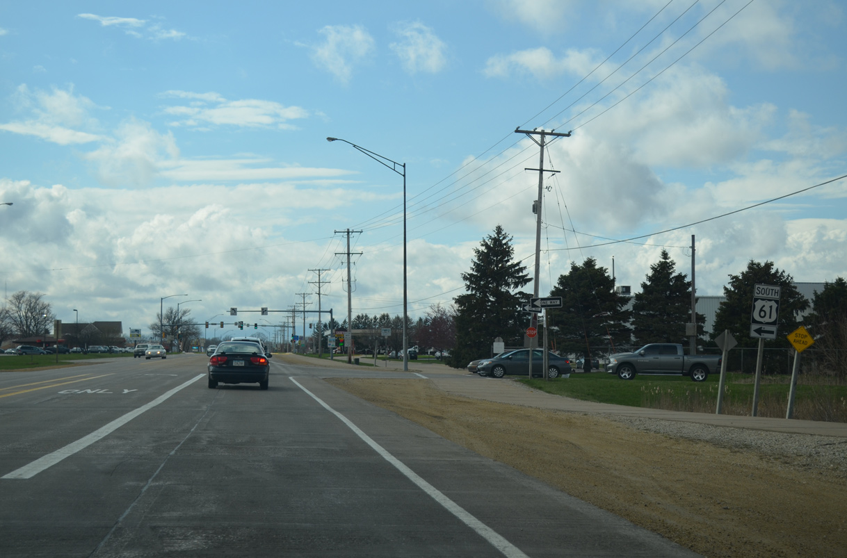
LeClaire Road transition into a commercial arterial from 1st Avenue to Ninth Avenue and the U.S. 61 freeway.
04/01/16
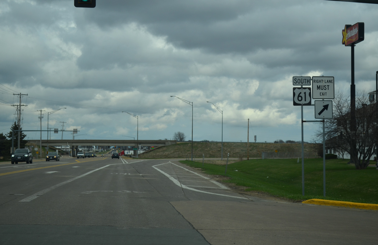
U.S. 61 takes commuters from Eldridge south to the Quad Cities as a limited access highway to Interstate 80.
04/01/16

Six miles east of the Eldridge city line, CR F45 (240th Street) turns north alongside CR Z30 (240th Avenue) to Lost Grove Lake Wildlife Management Area. CR Z30 originates six miles to the south from Valley Drive in Pleasant Valley.
03/26/16
CR F45 (240th Street) leads west from CR Z30 (240th Avenue) toward Lincoln and the city of Eldridge.
03/26/16
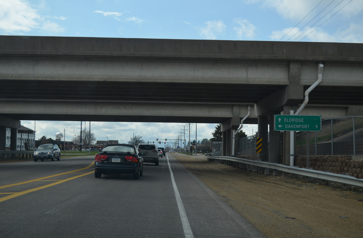
LeClaire Road extends one mile west from CR F45 (240th Street) and 180th Avenue into the city of Eldridge. A diamond interchange joins the arterial with the U.S. 61 freeway south to Davenport and north to DeWitt.
04/01/16
The U.S. 61 freeway through DeWitt was completed in 1982. It replaced CR Y68 to the east as the alignment of U.S. 61.
04/01/16
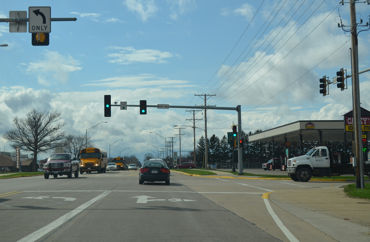
9th Avenue leads north from the commercials strip along LeClaire Road to an industrial park and south to the Rustic Ridge Estates subdivision.
04/01/16
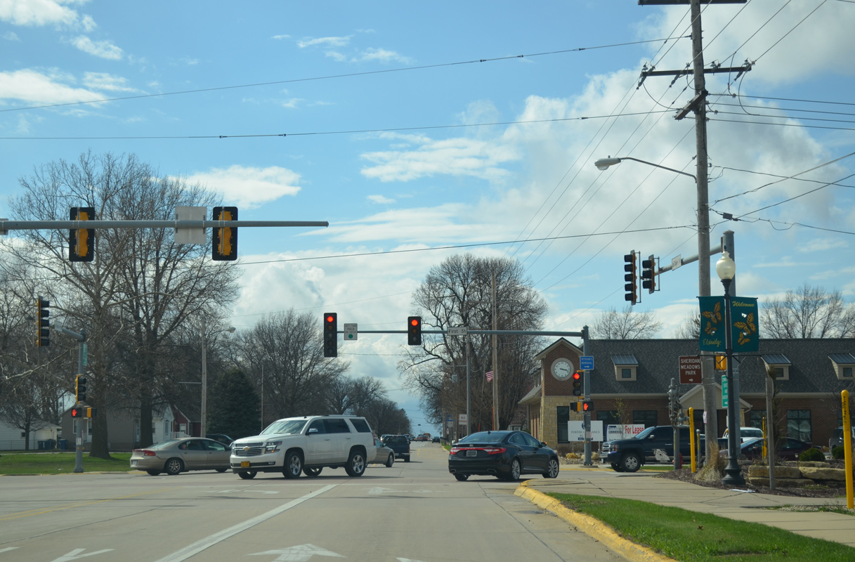
LeClaire Road reaches the Eldridge city center at 1st Street.
04/01/16
Photo Credits:
- Alex Nitzman: 03/26/16, 04/01/16
Connect with:


Page Updated Thursday May 10, 2018.