
Scott County Road F55
County Road F55 follows 90th Street along the Eldridge and Davenport city line at Mount Joy and 210th Street east from there to Crombie and the northern boundary of Bettendorf.

A discontinuous section of Brady Street (old U.S. 61) parallels U.S. 61 from CR F55 just to the west of the freeway linking Davenport and Eldridge.
01/01/15
County Road F55 (90th Street) crosses the DME Railroad line ahead of the southbound on-ramp to U.S. 61.
01/01/15
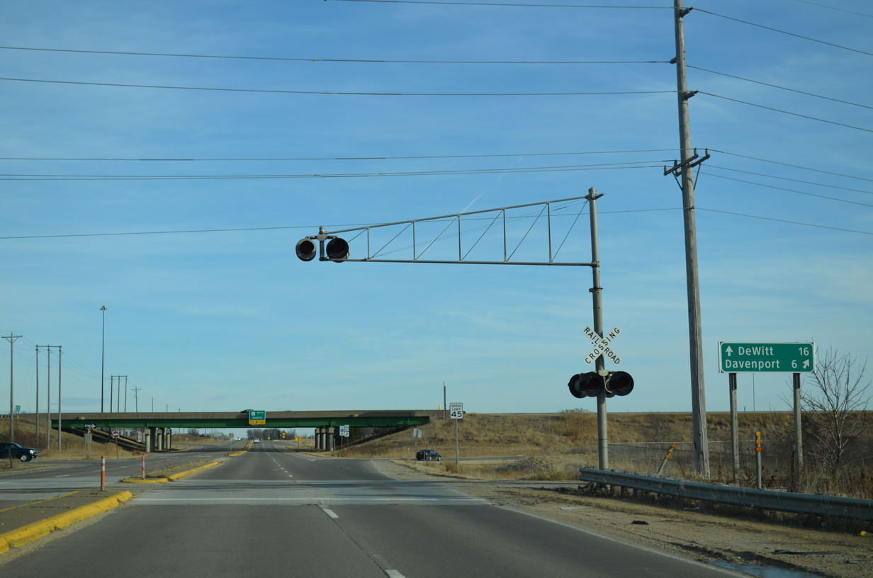
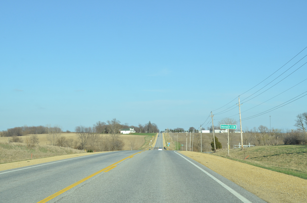
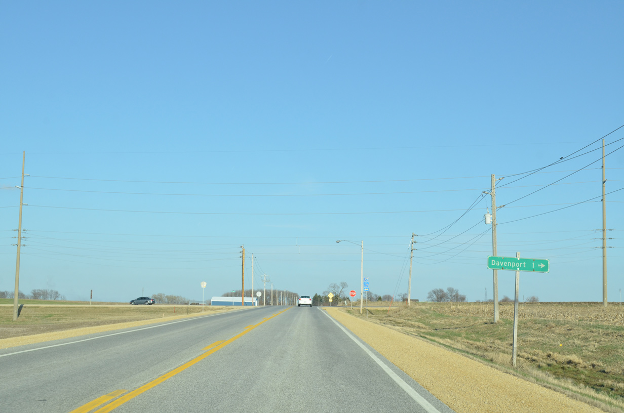
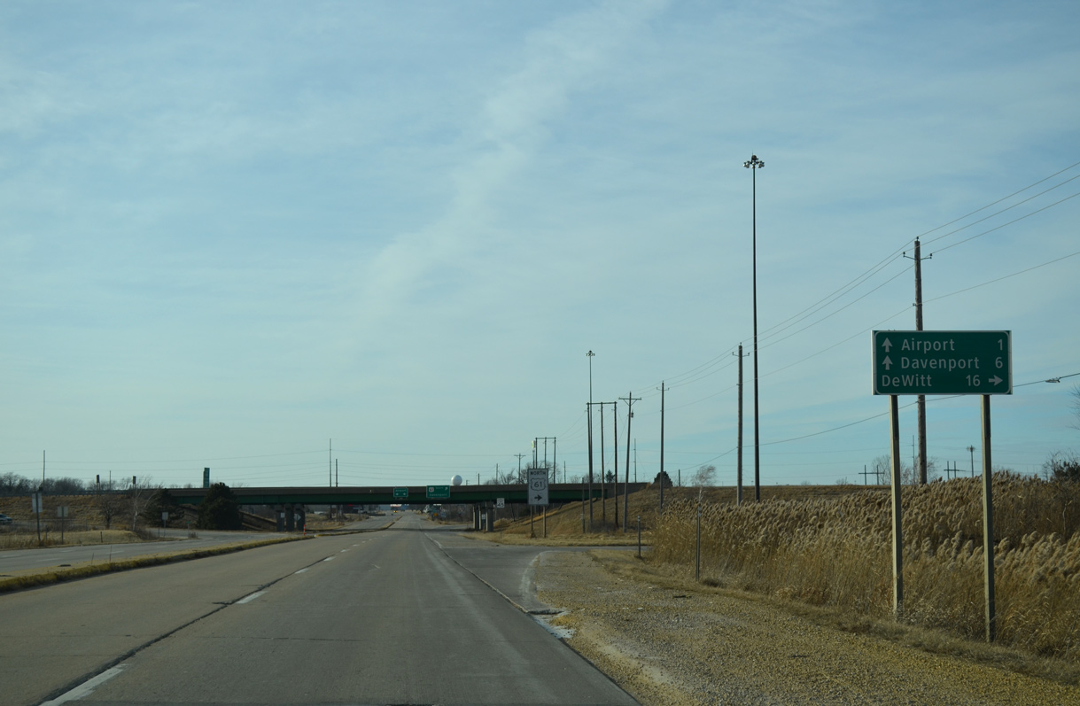
Downtown Davenport is a six mile drive via U.S. 61 and U.S. 61 Business (Brady Street) south from CR F55 (90th Street).
01/01/15
U.S. 61 south combines with Interstate 80 at a cloverleaf interchange just one mile south of 90th Street here.
01/01/15
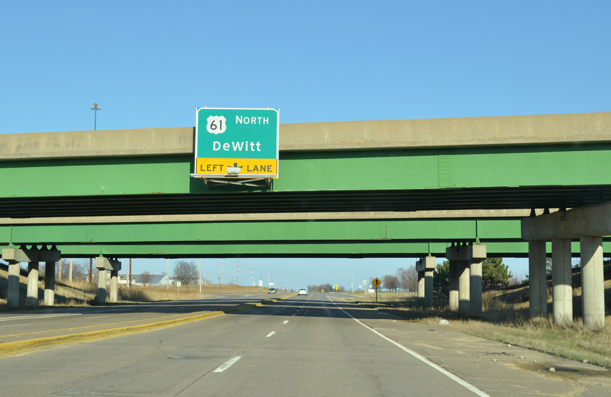
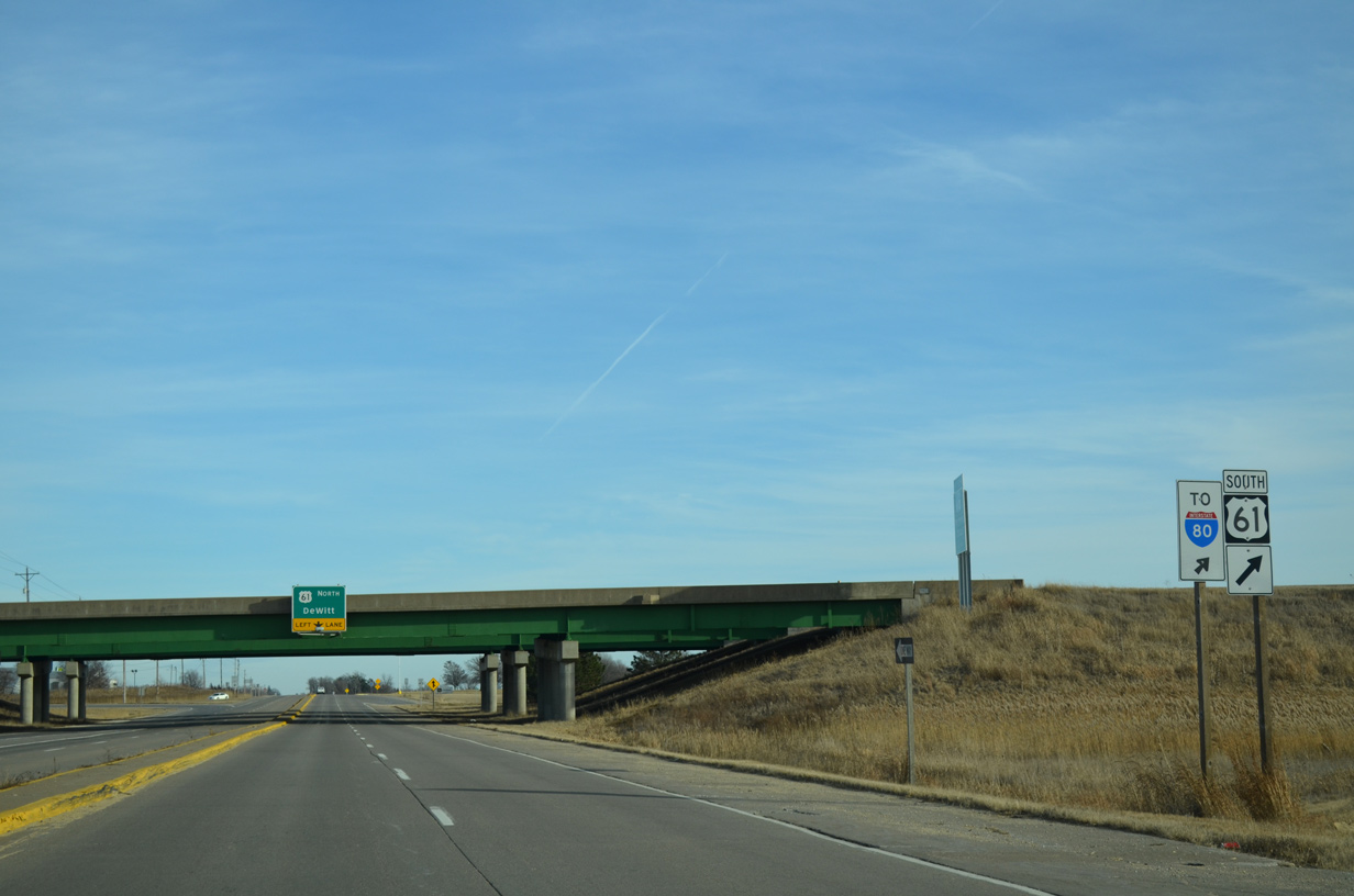
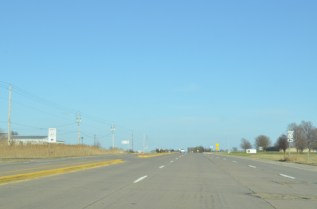
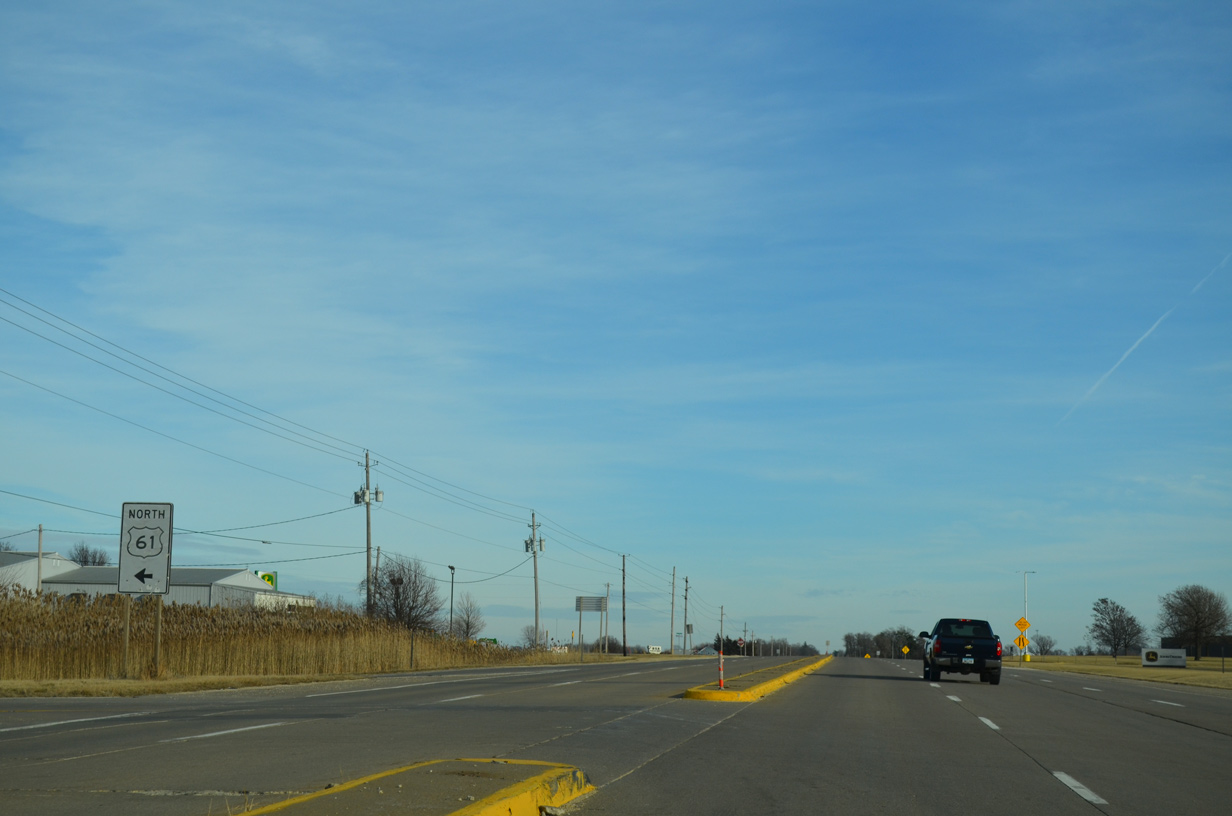
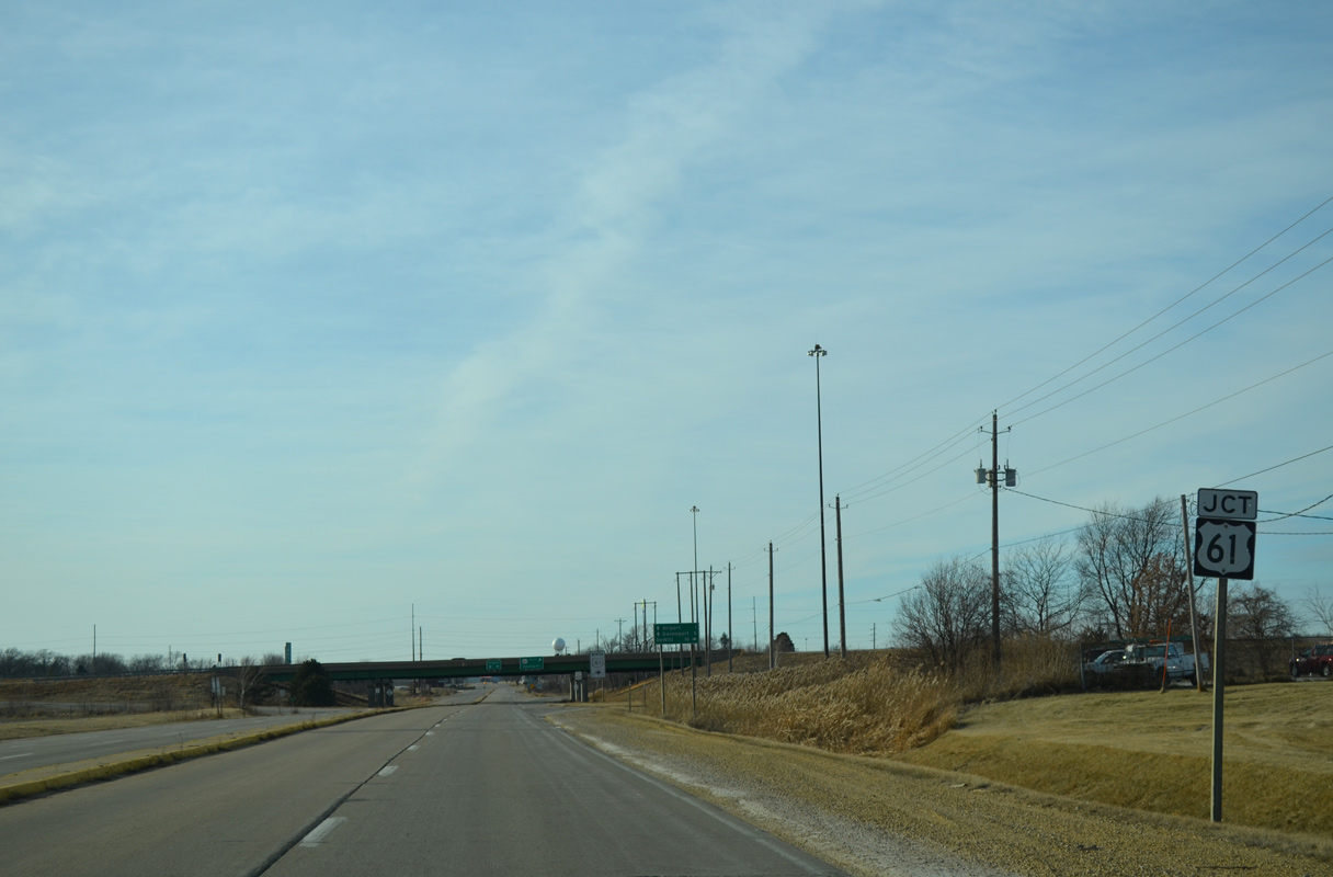
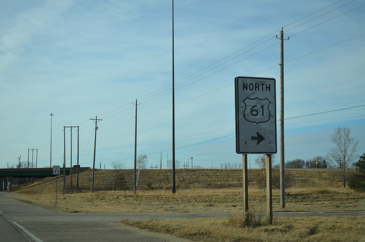
A left turn takes motorists onto U.S. 61 north to DeWitt, Maquoketa and Dubuque.
03/25/16
U.S. 61 extends north as a full freeway 18 miles from County Road F55 to the north side of DeWitt.
03/25/16
01/01/15
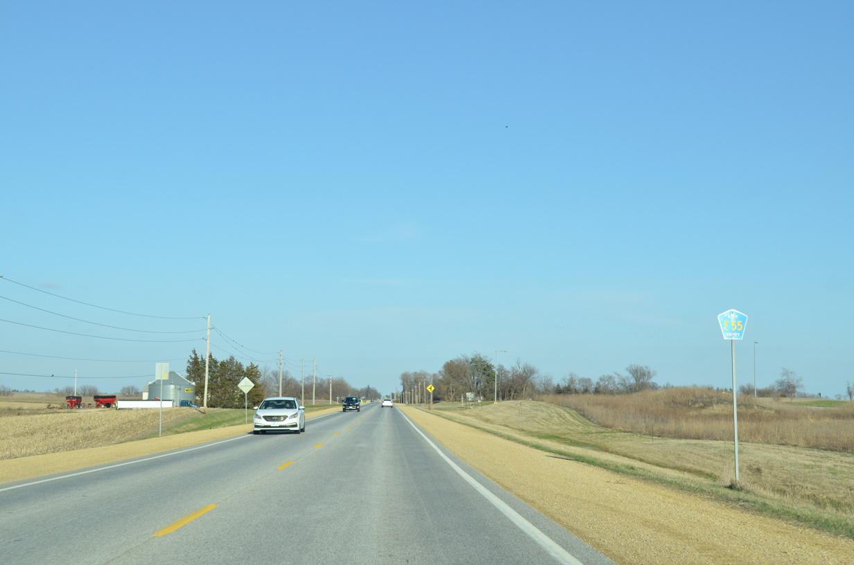
County Road Y68 heads north from 90th Street along Veterans Way through Eldridge.
03/25/16
Veterans Way leading north from CR F55 (90th Street). CR Y68 the follows the pre-freeway alignment of U.S. 61 north to Clinton County.
01/01/15
CR Y55 (East 90th Street) runs along the north Davenport city line to Jersey Ridge Road.
03/25/16
Jersey Ridge Road stems south from CR Y55 to enter the Davenport city limits in a half mile.
03/25/16
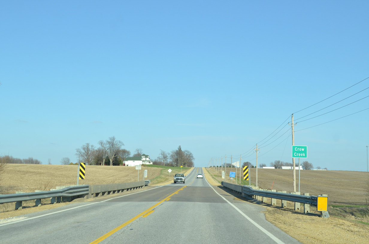
Crossing Crow Creek just east of Jersey Ridge Road on CR Y55 (210th Street).
03/25/16
Approaching County Road Z16 (Utica Ridge Road) on CR Y55 (220nd Street) east. Utica Ridge Road crosses I-80 southward to become a suburban boulevard through northeast Davenport and west Bettendorf.
03/25/16
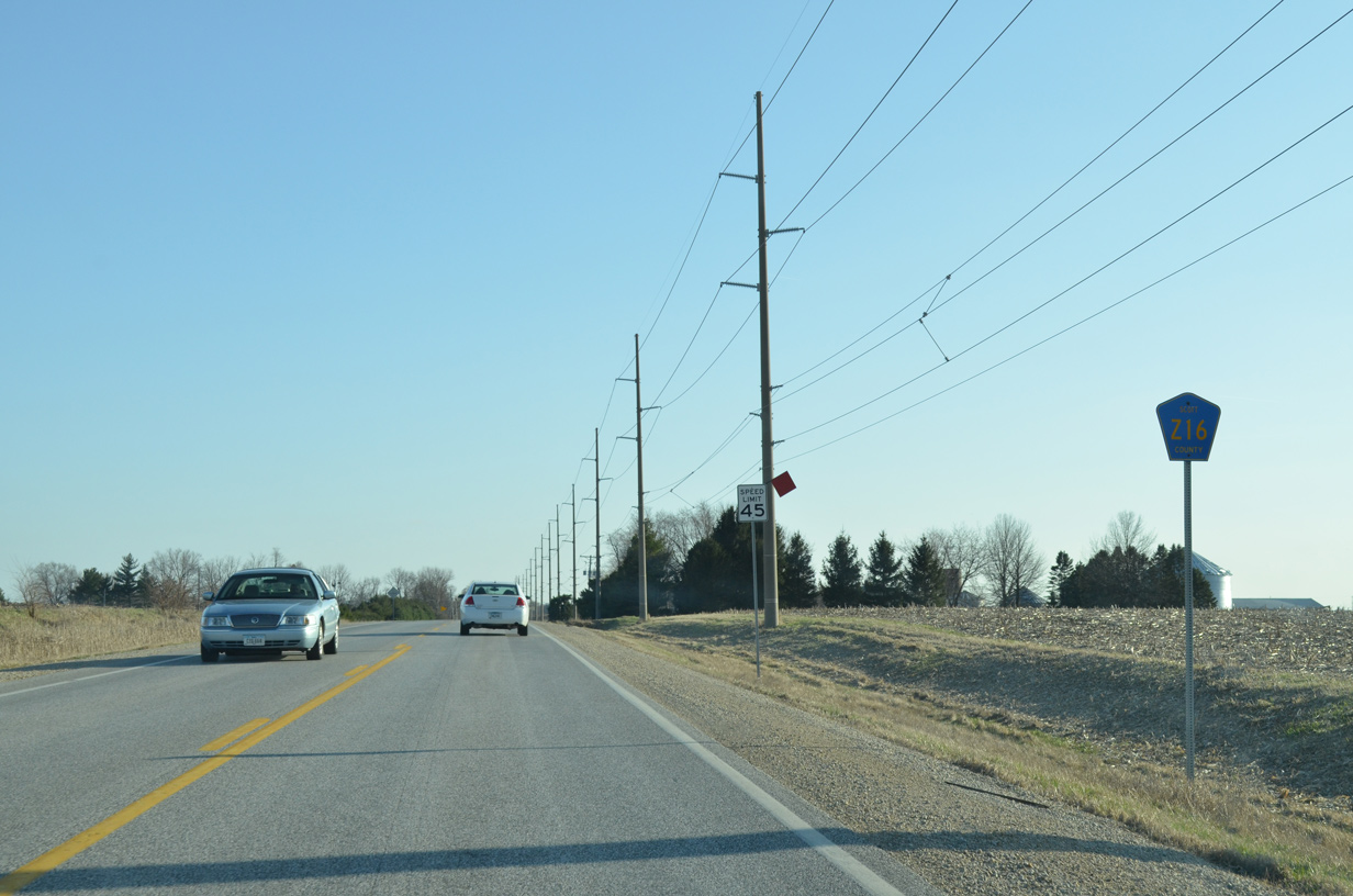
CR Z16 (Utica Ridge Road) extends north from Davenport to Lost Grove Lake Wildlife Management Area and CR F33 west of McCausland.
03/25/16
CR Z16 (Utica Ridge Road) concludes a half mile south of CR Y55 at the Davenport city line.
03/25/16
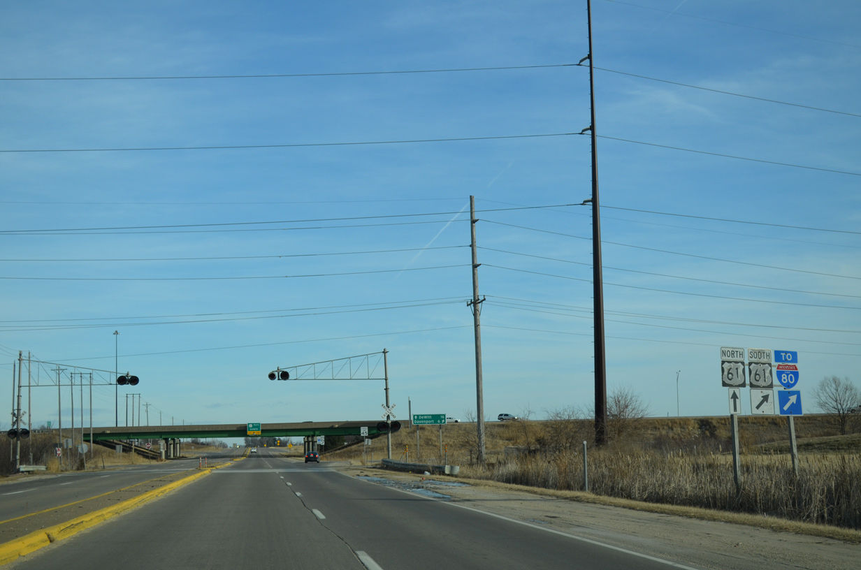
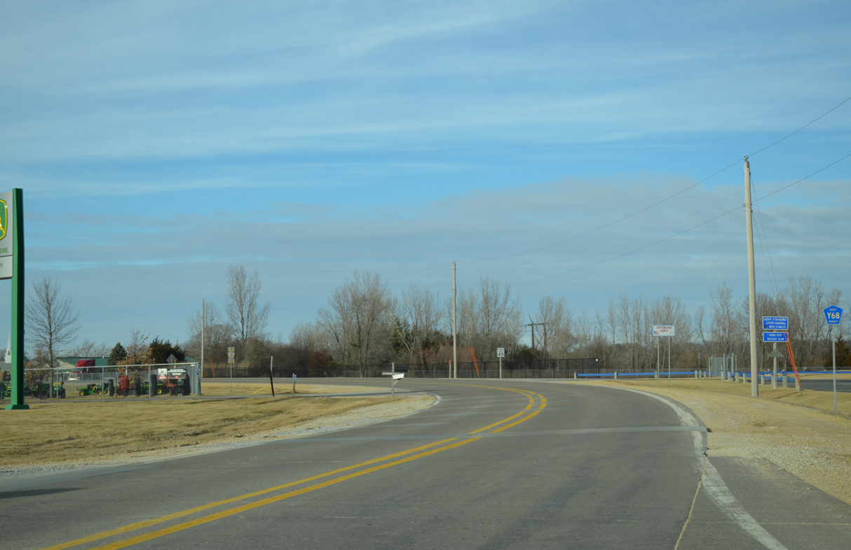
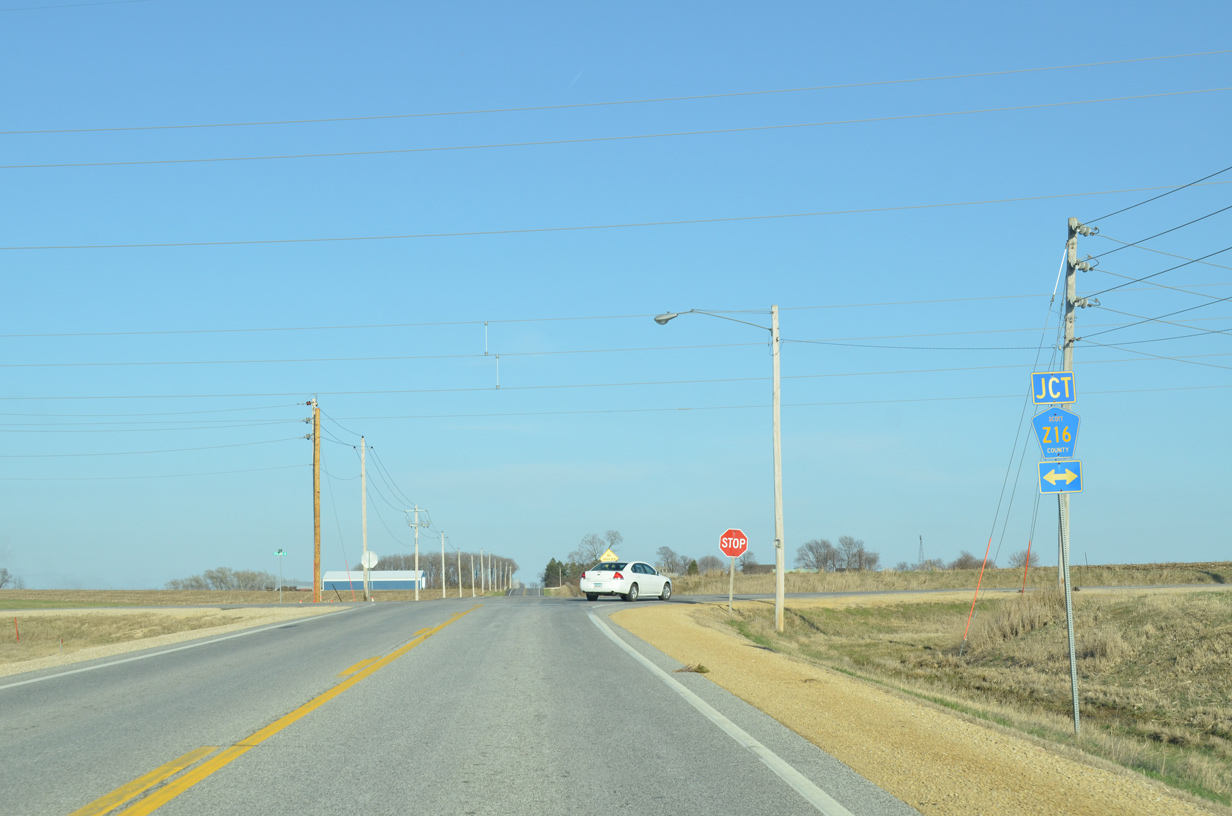
Approaching the six-ramp parclo interchange with the U.S. 61 freeway along County Road F55 (90th Street) west at Mount Joy.
01/01/15
U.S. 61 travels as a full freeway north 16 miles to DeWitt and a varying freeway and expressway from there to Dubuque.
01/01/15
Outline signs for U.S. 61 were posted at various on-ramps along the U.S. 61 freeway in eastern Iowa. Few of these remain.
01/01/15
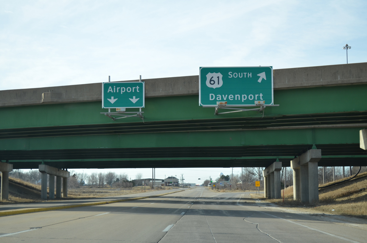
A loop ramp follows onto U.S. 61 south to Interstate 80 and Brady Street (U.S. 61 Business) leading into Davenport. CR F55 extends a short distance westward to Davenport Municipal Airport (DVN).
01/01/15
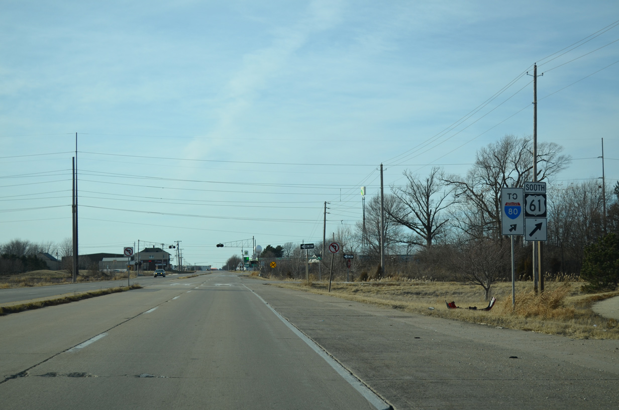
U.S. 61 south merges onto Interstate 80 west one mile to the south. I-80 runs along northern reaches of Davenport and Bettendorf, primarily serving through traffic.
01/01/15
Photo Credits:
- AARoads: 01/01/15
- Alex Nitzman, Bill Gatchel: 03/25/16
Connect with:
Page Updated Thursday May 10, 2018.