
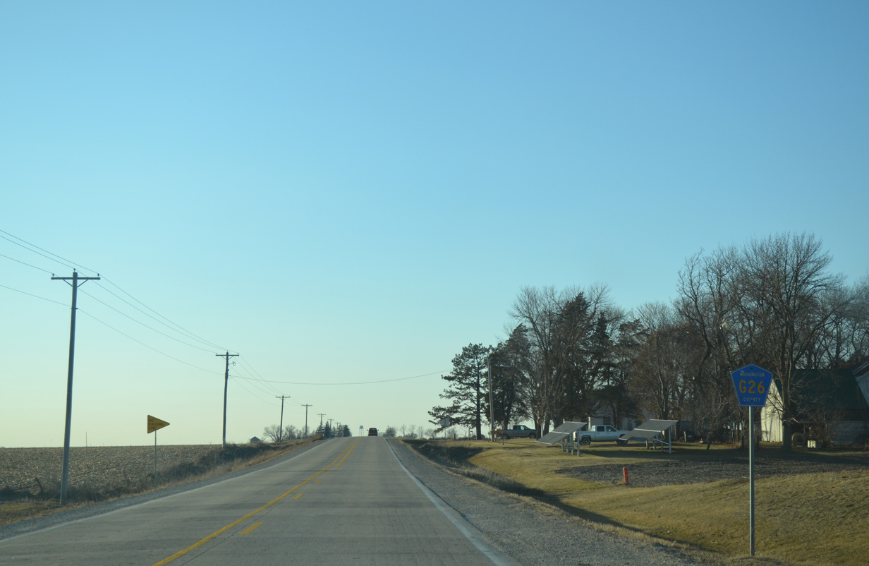
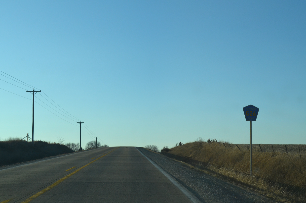
County Road G26

County Road W26 bee lines 16 miles east along 190th Street from County Road V15, outside Keota, to Quince Avenue in Washington County. A dog leg takes the route north alongside CR W61 to 180th Street east for four miles. The route turns north again at Underwood Avenue for 175th Street east and Louisa County. A short jaunt south along County Line Road follows as CR G26 east concludes at CR W66.
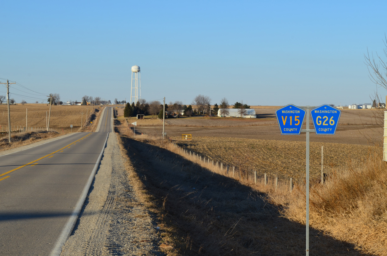
A rarity on Iowa County Highways occurs where CR V15 and G26 are dually posted leading north along Keokuk-Washington Road beyond the Keota city line. Furthermore the overlapped stretch is signed only as Keokuk County V15 in the southbound direction.
12/31/14
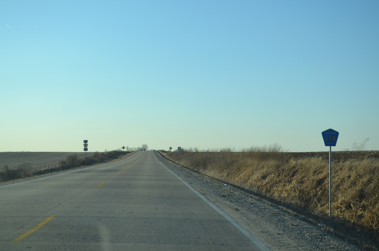
Westbound reassurance marker posted after the intersection with County Road W38 (Ginkgo Avenue).
12/31/14
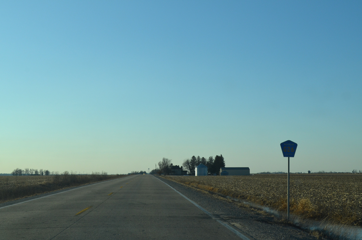
Traveling west from the rural intersection with Fir Avenue on 190th Street west. North-south avenues in Washington County are lettered alphabetically.
12/31/14
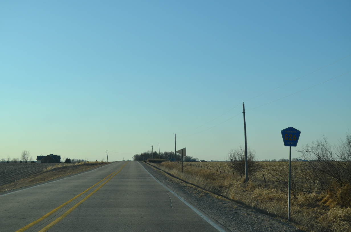
County Road G26 crosses Elm Avenue ahead of this shield.
12/31/14
Dogwood Avenue doubles as County Road W21 south to Iowa 92 and north into Iowa County. The route is unmarked on CR G26.
12/31/14
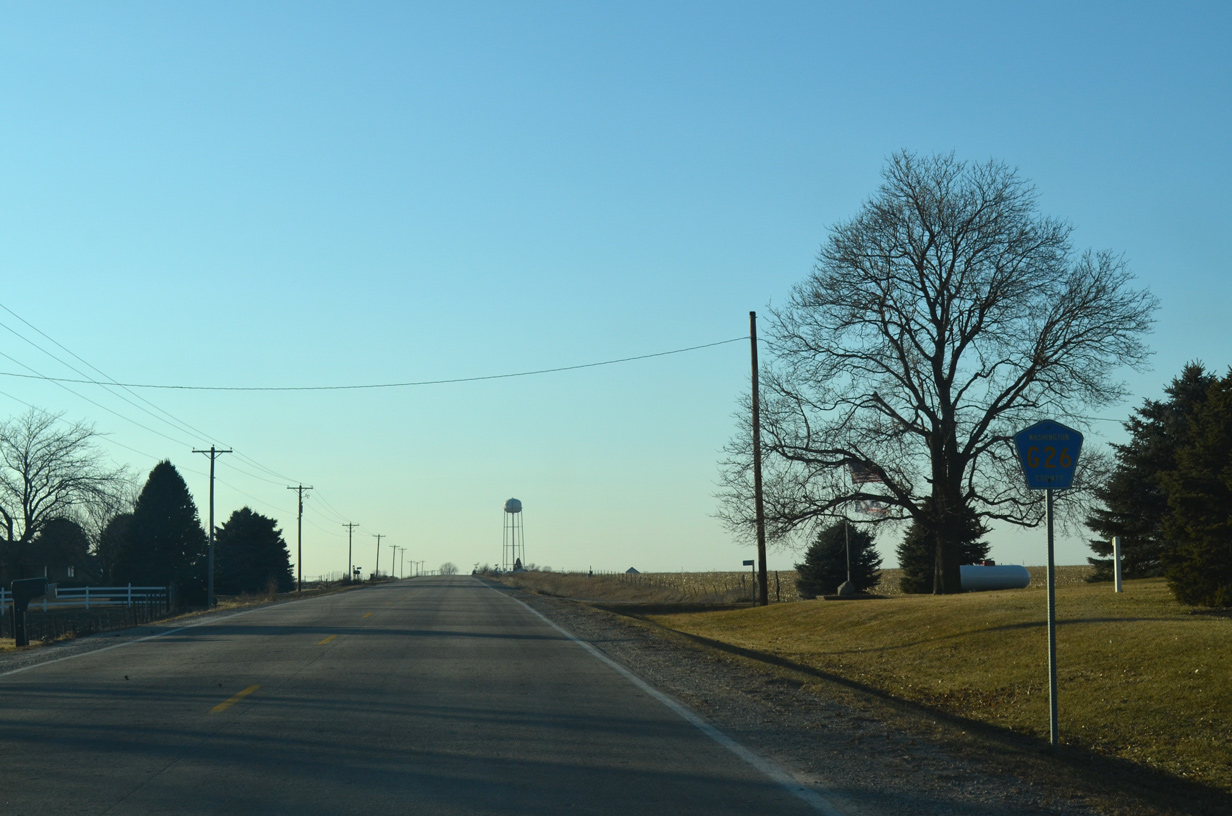
Cedar Avenue stems north from CR G26, 4.5 miles through agricultural areas to Smith Creek.
12/31/14
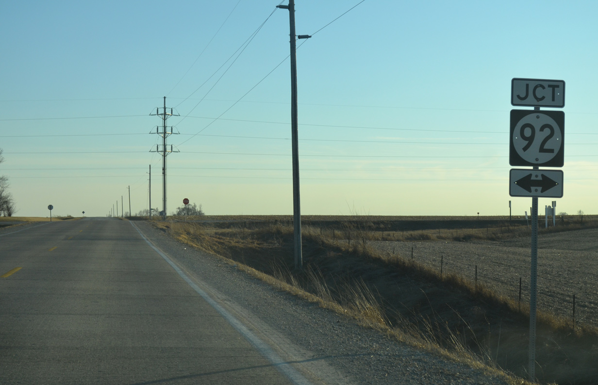
Birch Avenue follows in one mile from CR G26 south to Iowa 92 and north to Iowa 22.
12/31/14
County Road G26 curves southward to become County Road V15 along the Keokuk County line. Southbound is signed solely as CR V15 while northbound is posted also as CR G26.
12/31/14

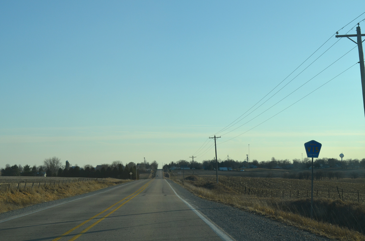
CR V15 (Keokuk-Washington Road) leads due south to the city of Keota.
12/31/14
Leading south from Keota, County Road V15 links the west end of County Road G26 with Iowa 92 between Sigourney and West Chester.
12/31/14
Photo Credits:
- Alex Nitzman, Bill Gatchel, Scott Onson: 12/31/14
Connect with:


Page Updated Thursday August 06, 2015.