
County Road S-2


County Road S-2 travels 65.2 miles southeast from SR 79 in east San Diego County to Ocotillo and SR 98 in Imperial County. The county road traverses remote areas north of the Volcan Mountains, through Carrizo Valley and across Anza Borrego Desert State Park.
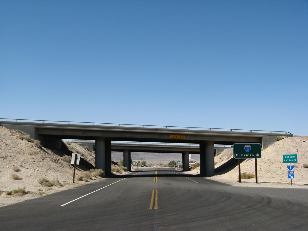
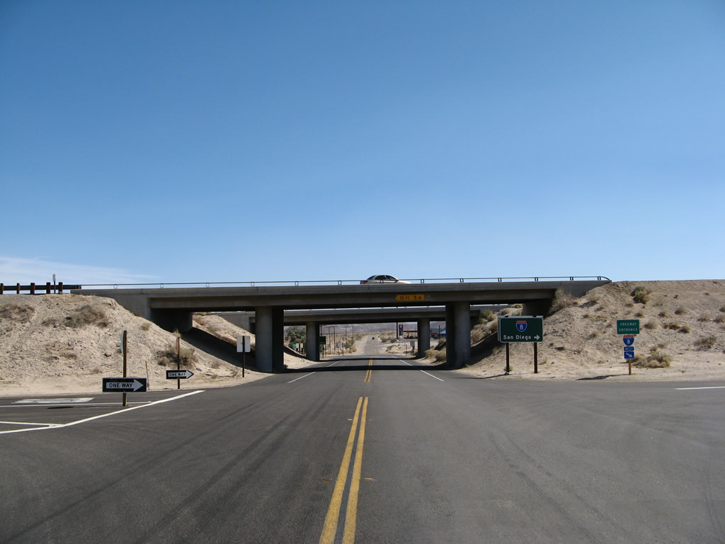
CR S-2 begins at SR 98 in western Imperial County. Following Imperial Highway, the county road leads north 0.6 miles to a diamond interchange (Exit 89) with Interstate 8.
04/19/08
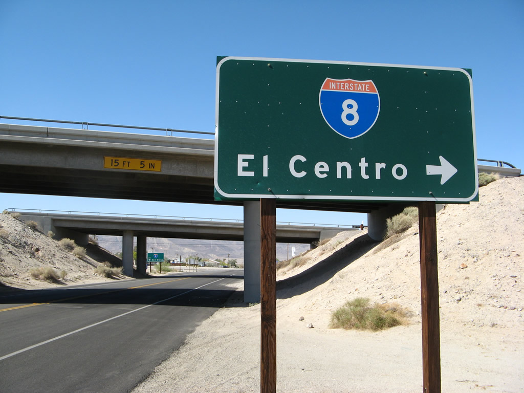
Interstate 8 ventures east from CR S-2 and Ocotillo to El Centro.
04/19/08

The westbound on-ramp leads motorists from CR S-2 toward Alpine, El Cajon and San Diego.
04/19/08
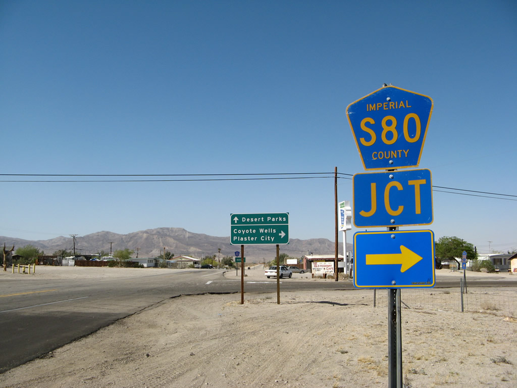
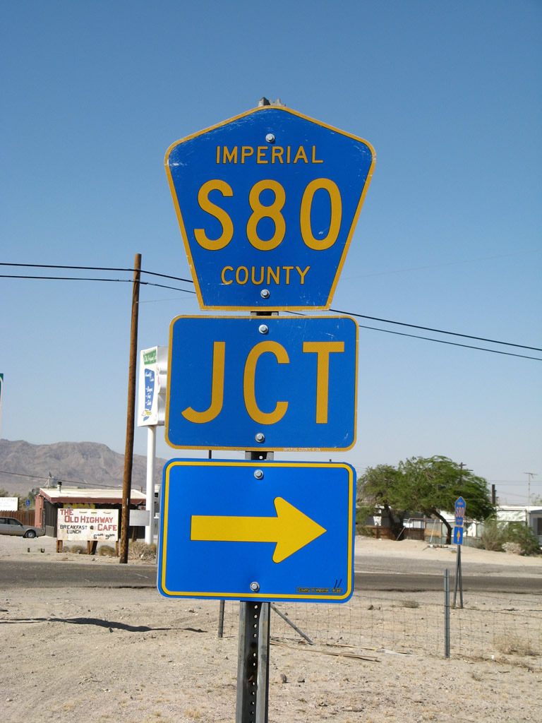
Imperial County S-80 (Evan Hewes Highway) runs along the north side of Interstate 80 as both a freeway frontage road and the historic alignment of U.S. 80.
04/19/08
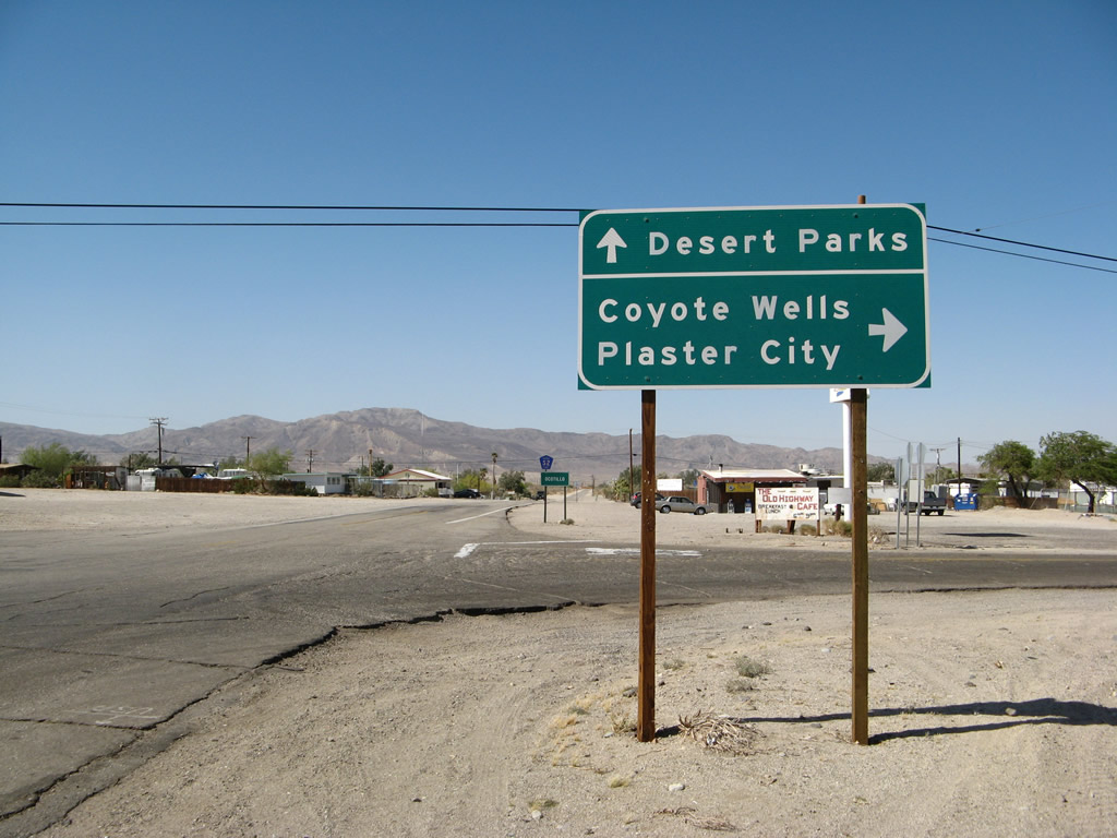
Historic U.S. 80 (Evan Hewes Highway) branches away from adjacent I-8 east to Plaster City, Seeley and El Centro. Old U.S. 80 west spurs to a dead end ahead of the I-8 merge with SR 98.
04/19/08
North from CR S-80, Imperial Highway enters the street grid of unincorporated Ocotillo.
04/19/08
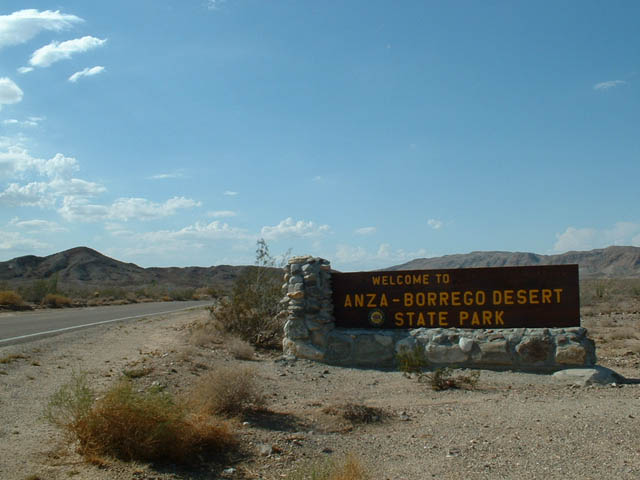
Northbound Imperial County S-2 enters Anza-Borrego Desert State Park.
07/22/03
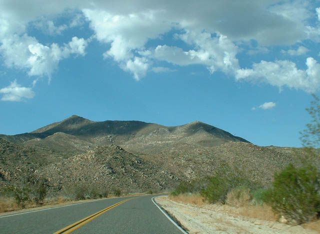
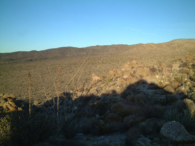
Winding northwest through Anza-Borrego Desert State Park. along County Road S-2.
07/22/03
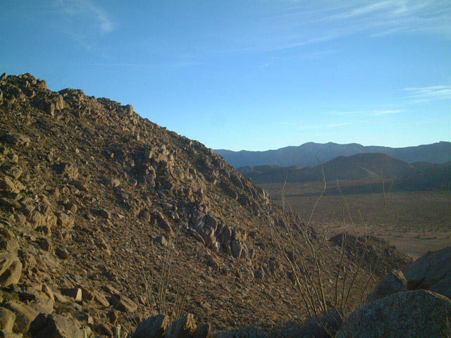
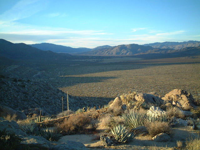
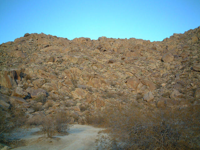
Scenic, desolate beauty along an open stretch of County Route S-2 in Anza-Borrego Desert State Park.
04/19/08
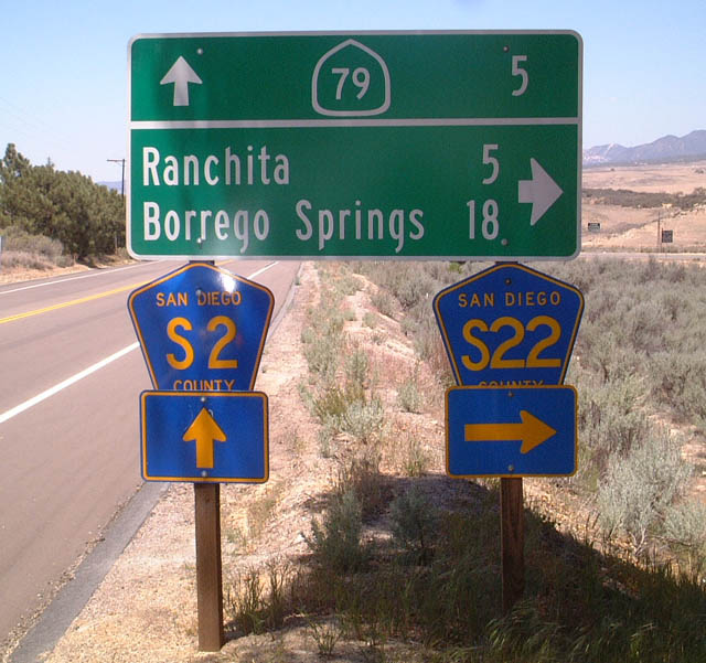
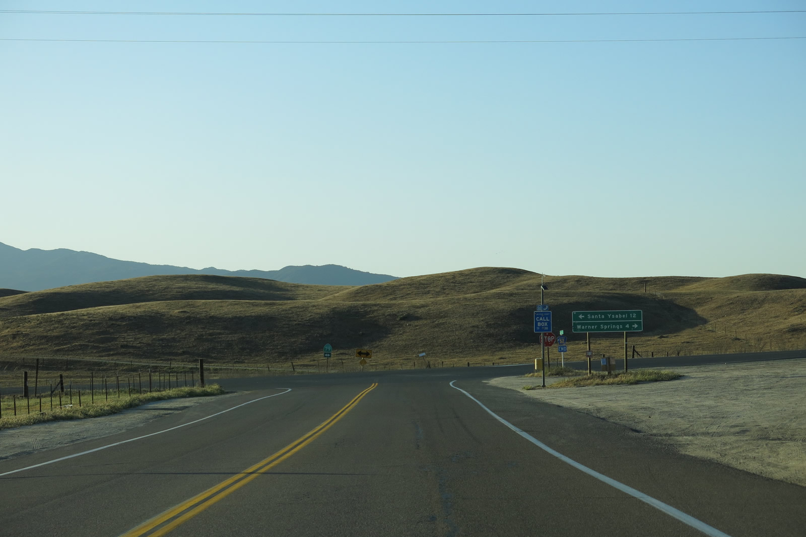
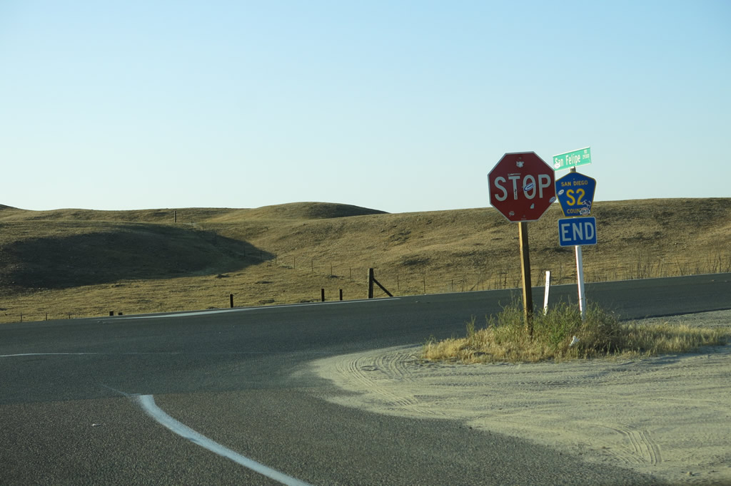
San Diego County S-22 (Montezuma Valley Road) leads east from San Diego County S-2 (San Felipe Road) to Borrego Springs and the Salton Sea in Imperial County.
05/29/02
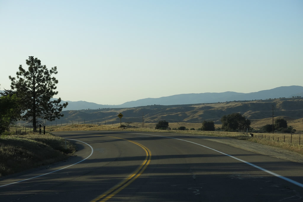
Turning more westerly, CR S-2 (San Felipe Road) enters a broad valley fed by San Ysidro Creek.
04/20/13
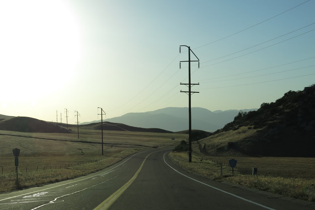
A San Diego Gas and Electric power line crosses over San Diego County S-2.
04/20/13
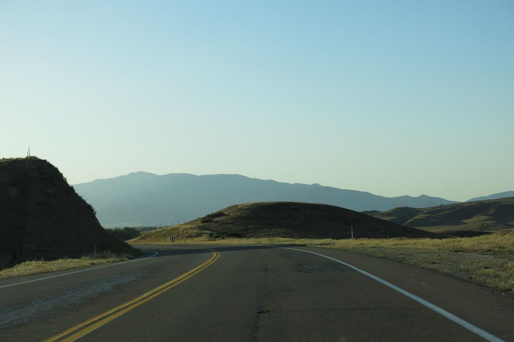
San Diego County S-2 passes through mostly rural, rolling hills in a pastoral setting. Winter rains often make these hills green in spring.
04/20/13
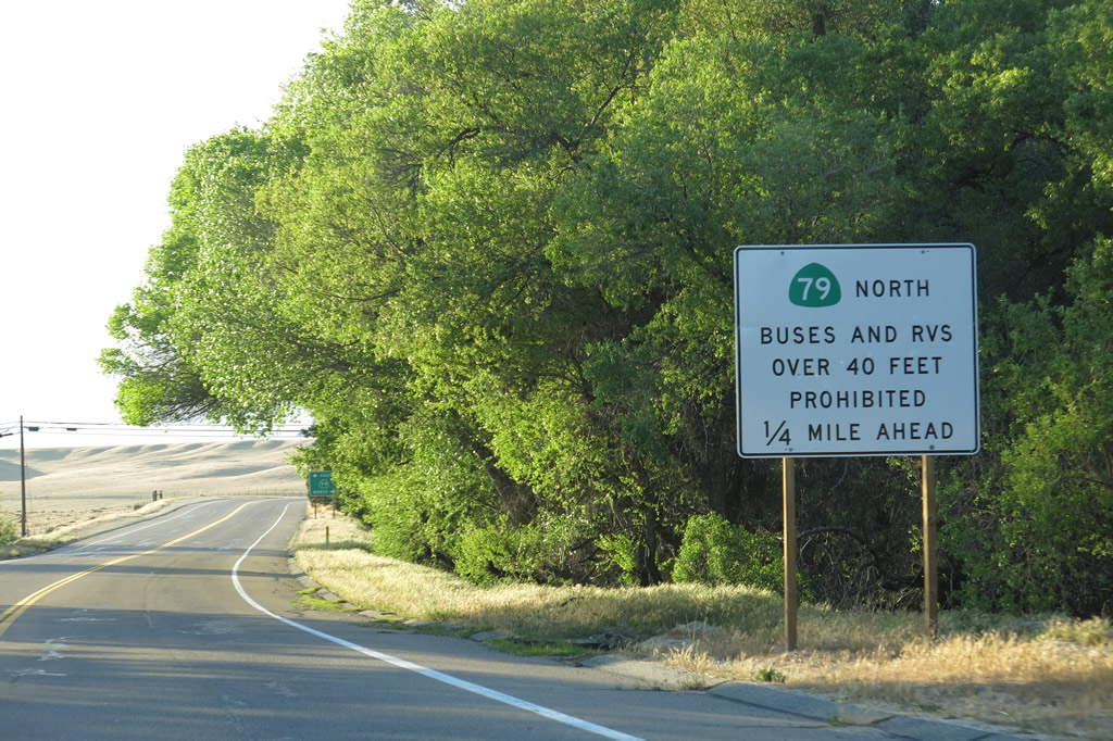
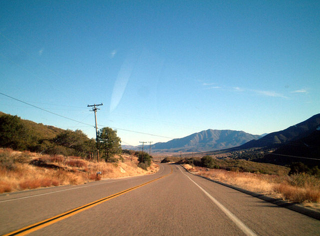
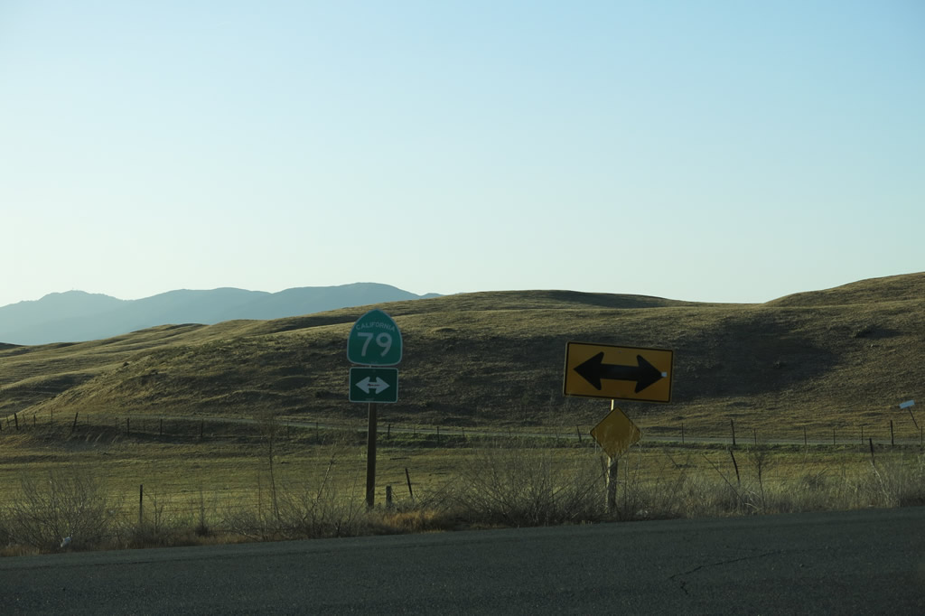
Continuing northwest, San Diego County S-2 approaches SR 79. Note the truck restriction for SR 79 north en route to Warner Springs and Temecula.
04/20/13
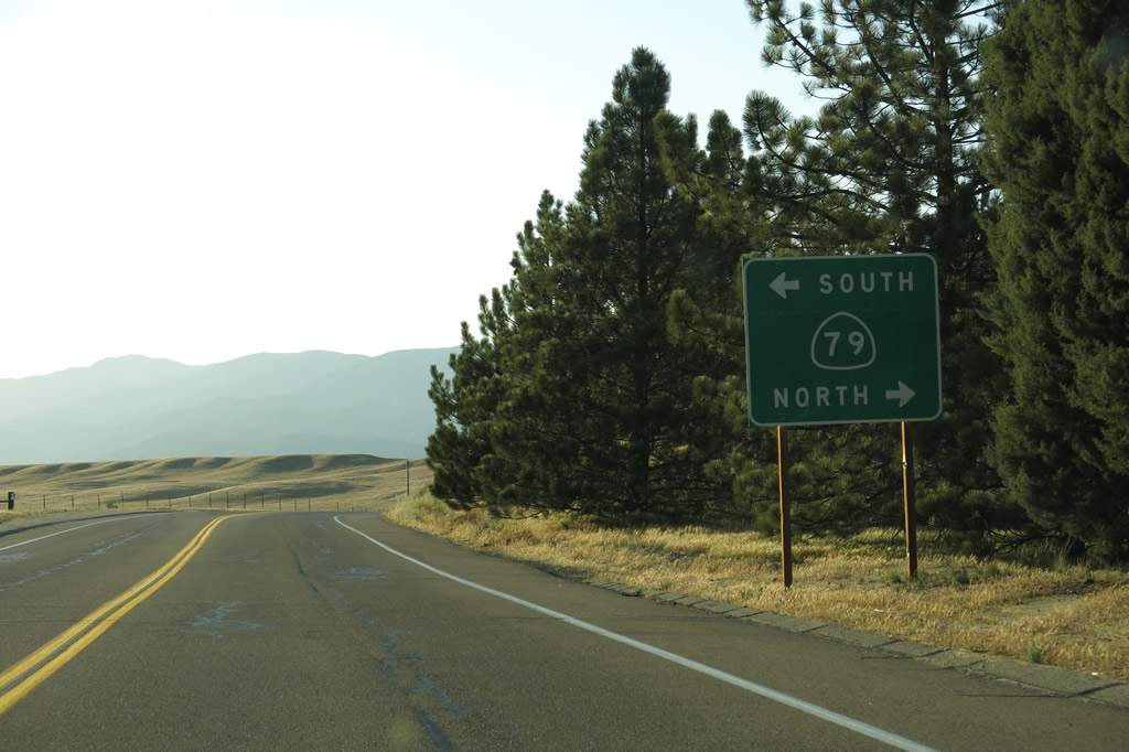
SR 79 travels four miles north toward Warner Springs and then northwest to Temecula.
04/20/13
The state route south travels 12 miles to Santa Ysabel toward Julian, with a connection to SR 76 west to Palomar Mountain and Interstate 15.
04/20/13
San Diego County S-2 concludes at SR 79 northwest of Borrego Springs.
04/20/13

San Diego County S-2 begins south from SR 79 near Warner Springs.
07/24/02
Southbound San Diego County S-2 passes through a few small communities in remote eastern San Diego County, including the unincorporated community of San Felipe.
07/24/02
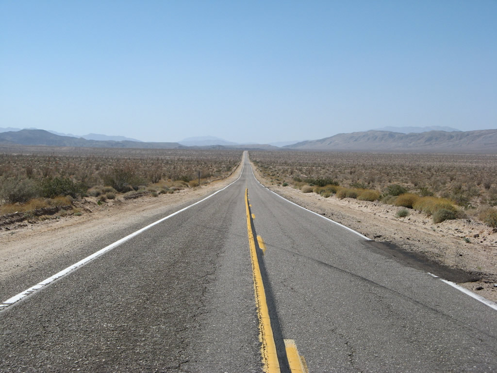
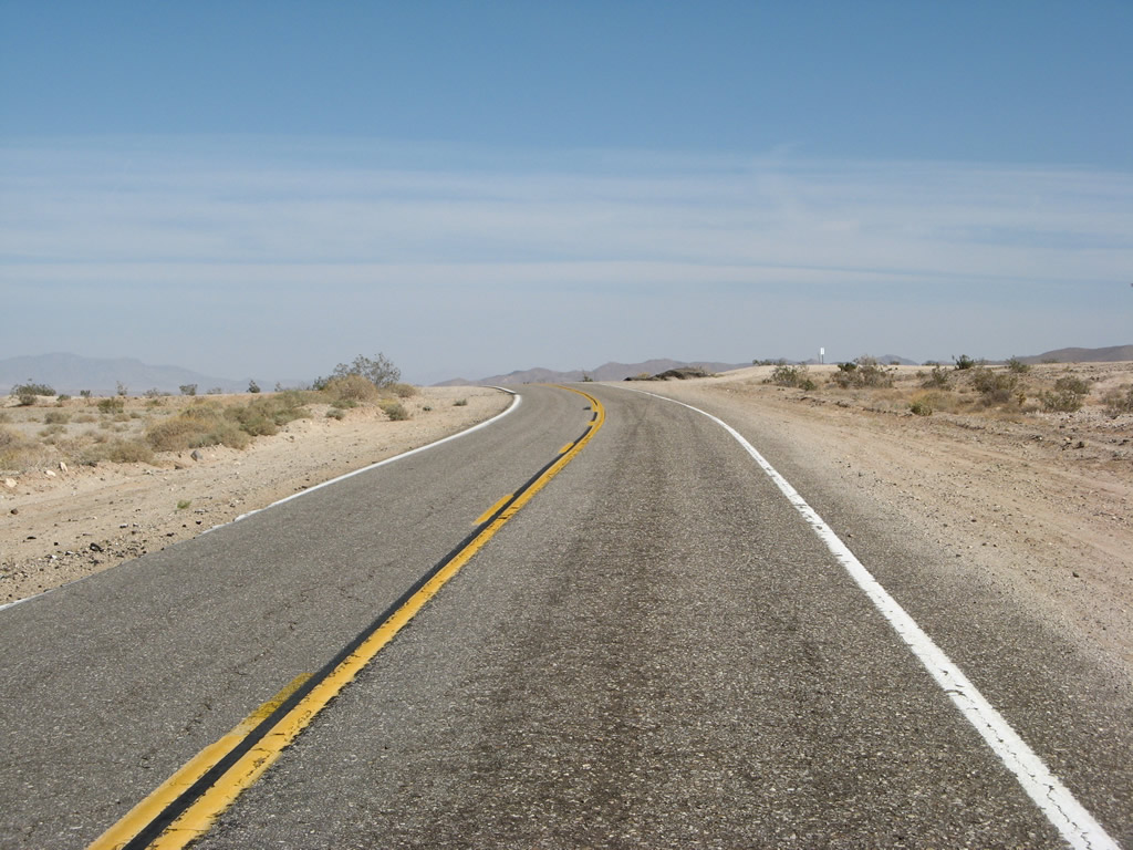
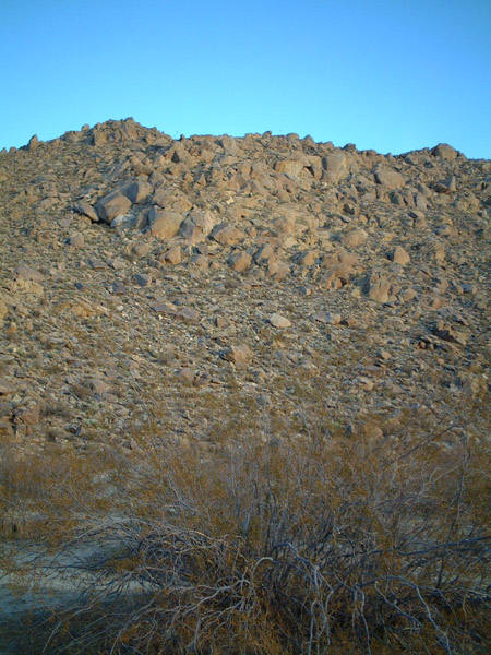
A wide open stretch of County Road S-2 through Anza-Borrego Desert State Park.
04/19/08
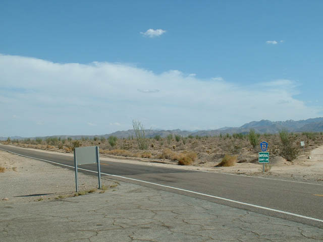
County Road S-2 crosses into Imperial Park within Anza-Borrego Desert State Park.
07/22/03
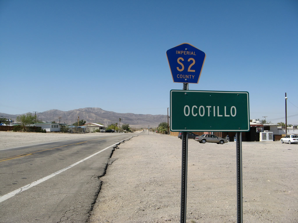
Imperial Highway leads CR S-2 south through the community of Ocotillo to CR S-80 (Evan Hewes Highway) and a diamond interchange (Exit 89) with Interstate 8.
04/19/08
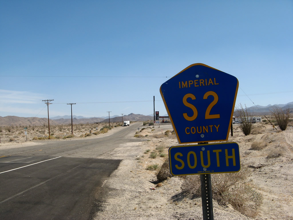
The final reassurance marker for Imperial County S-2 stands just south of Interstate 8.
04/19/08
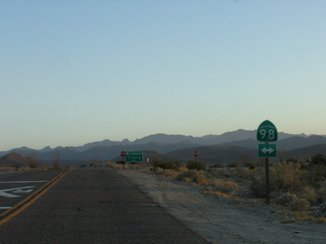
Imperial Highway concludes 0.6 miles south of the I-8 frontage road at SR 98.
05/07/06

SR 98 heads west to merge with Interstate 8 in 1.8 miles. The state route east continues to Calexico.
05/07/06
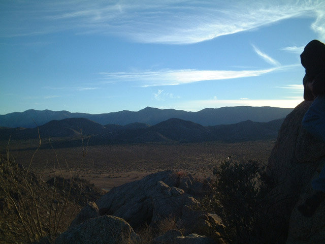
San Diego County S-2 passes through Anza Borrego Desert State Park, offering spectacular views of the desert far below the heights of Mount Laguna and the Cuyamacas.
07/27/02
Photo Credits:
- Andy Field: 05/29/02, 07/24/02, 07/27/02, 07/22/03, 05/07/06, 04/19/08, 04/20/13
Connect with:

Page Updated Monday August 14, 2017.