
San Diego County Route S-7

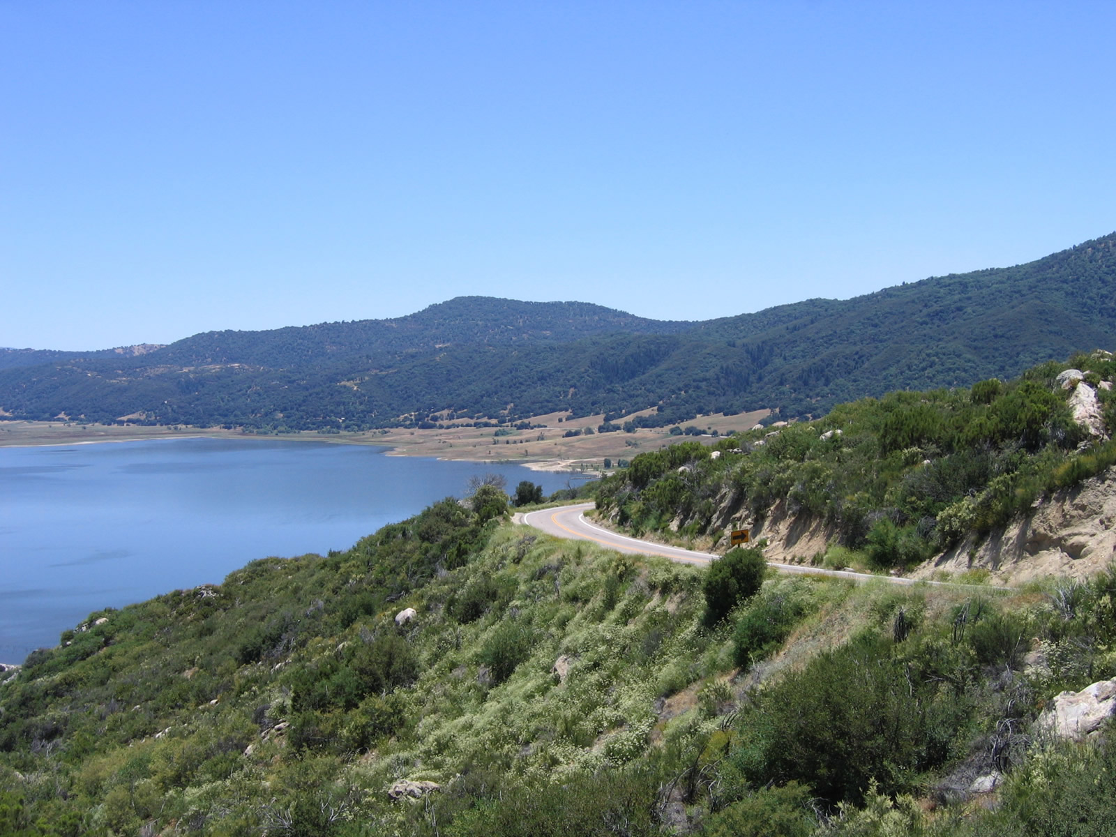
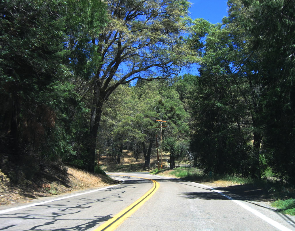
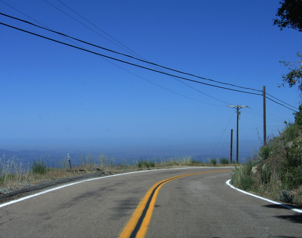
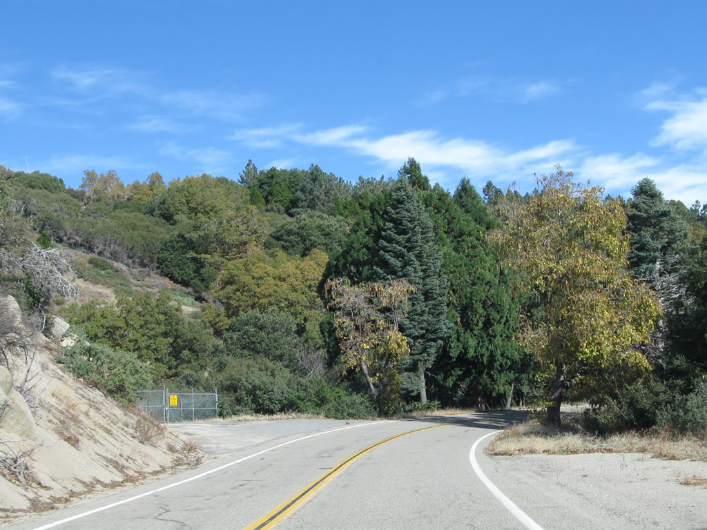
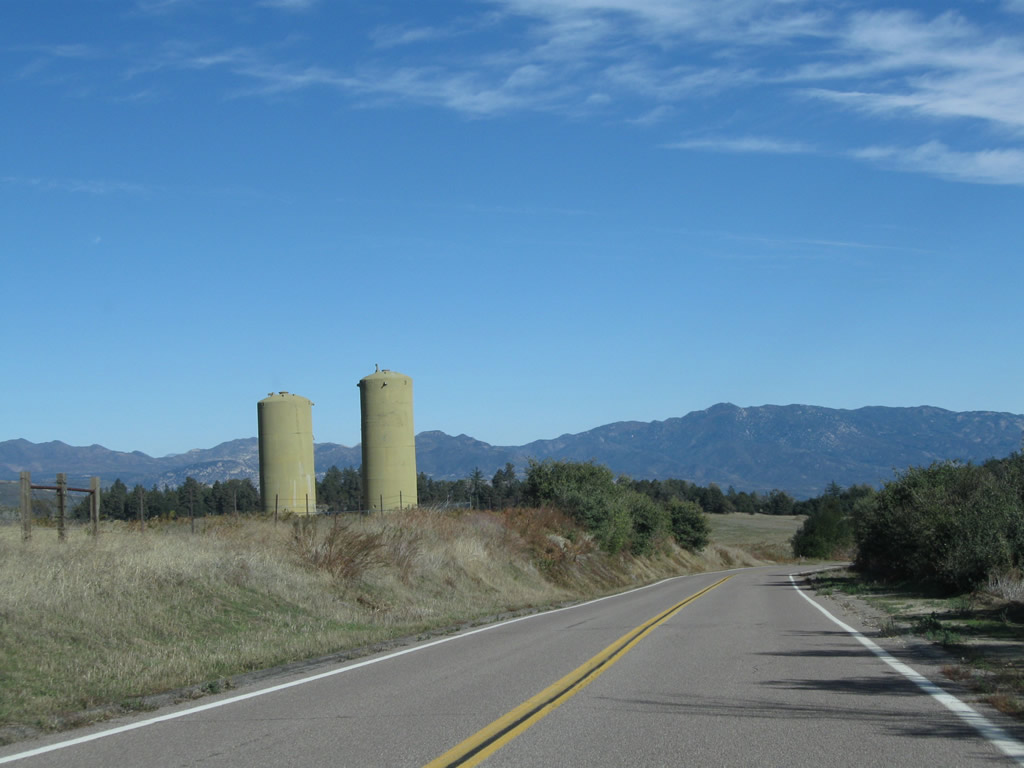
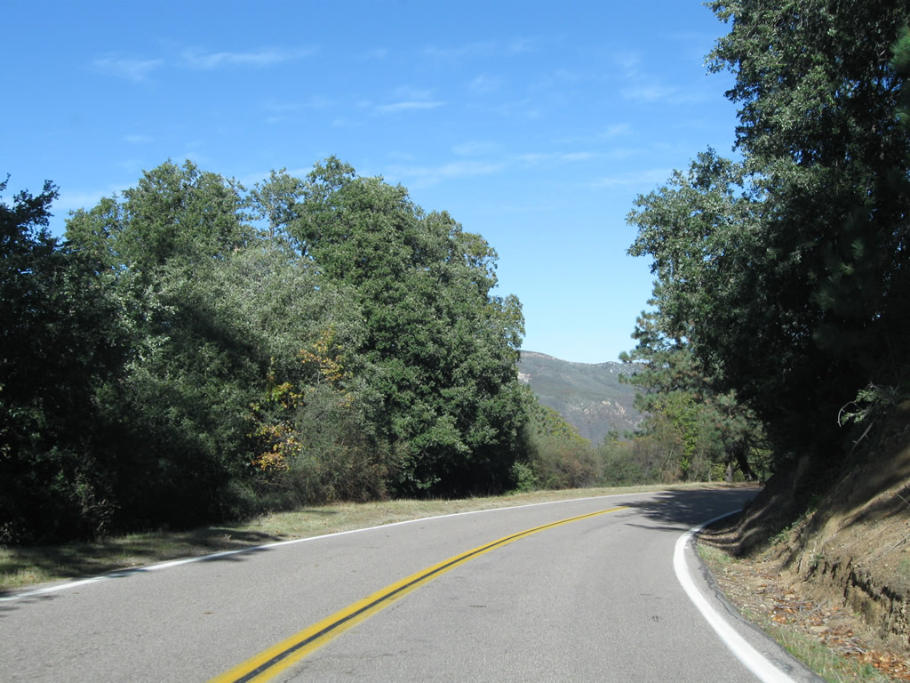
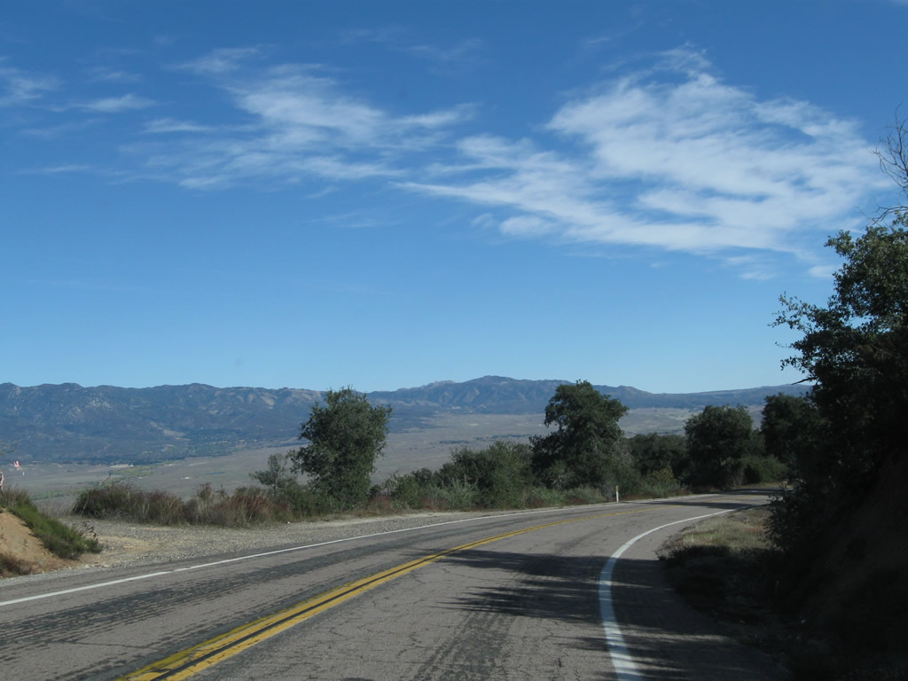
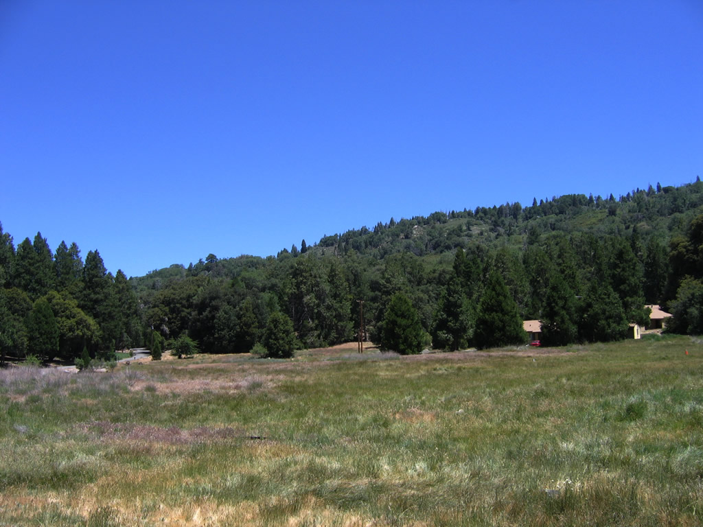
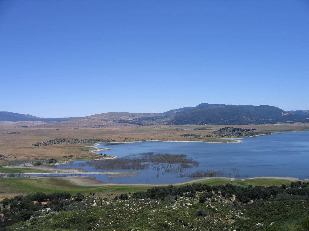
San Diego County Route S-7 winds along the hillside overlooking Lake Henshaw along the southernmost two miles of East Grade Road. - 06/16/2006
County Route S-7 constitutes a scenic route along a 13.9 mile course from California State Route 76 at Lake Henshaw northwest to Palomar Mountain State Park in north San Diego County.
 North
North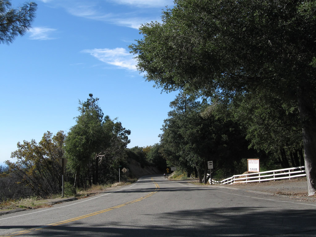
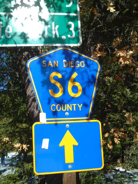
San Diego County S-7 (East Grade Road) north proceeds past Crestline Road and approaches the local fire station on Palomar Mountain and CR S-6 (South Grade Road).
11/11/10
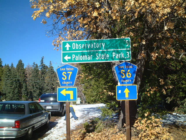
County Road S-6 (South Grade Road) branches north from County Road S-7 (State Park Road) to Upper French Valley and Palomar Observatory. State Park Road spurs west to Boucher Hill.
01/21/02
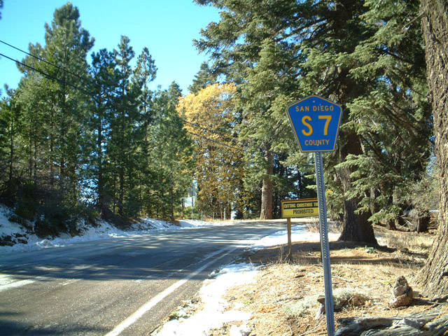
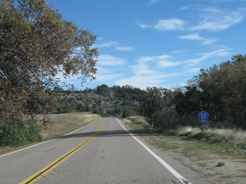
Confirming marker for San Diego County S-7 north, posted after the separation with South Grade Road by the Palomar Mountain business plaza.
06/16/06
01/24/02
While CR S-7 ends at the entrance to Palomar Mountain State Park, a very narrow back road, Nate Harrison Grade, leads from the park down toward the valley floor. This road is not a good choice for most vehicles due to the narrow roadbed, extensive unpaved segments, and occasional closures for weather, fire or other reasons.
06/16/06
San Diego County S-7 travels along the edge of Palomar Mountain, overlooking the San Luis Rey River and Pauma Valley while advancing toward the entrance into Palomar Mountain State Park. Pull-outs along the roadside allow for slower traffic to stop and also offer places to take in the scenic views from the mountain top.
06/16/06
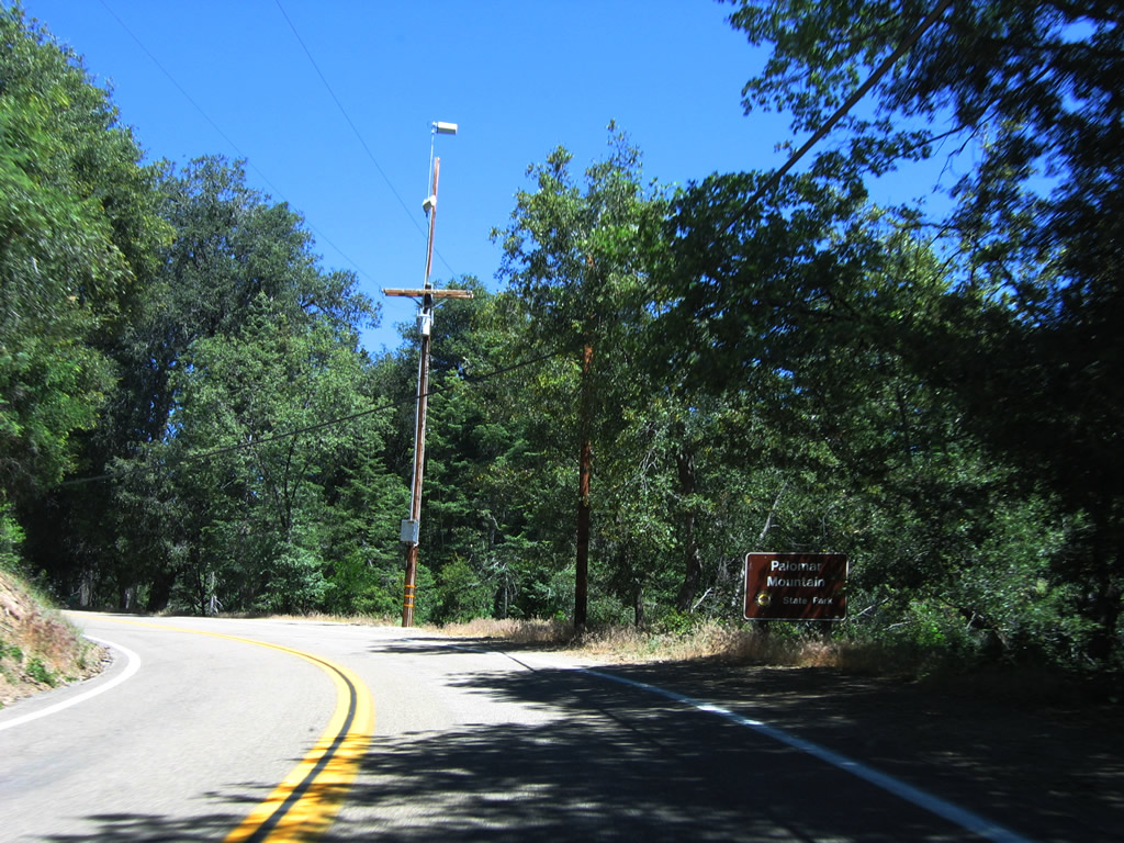
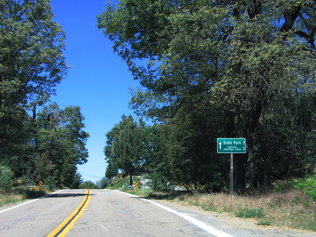
Northbound San Diego County S-7 enters Palomar Mountain State Park. Activities at this park include hiking, camping, and nature watching. A popular trail takes hikers past Doane Pond.
06/16/06
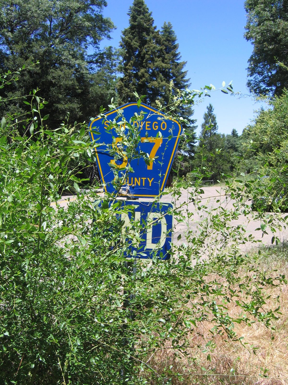
Hidden in the scrub on the right side of the road by the state park entrance is an end San Diego County S-7 route marker.
06/16/06
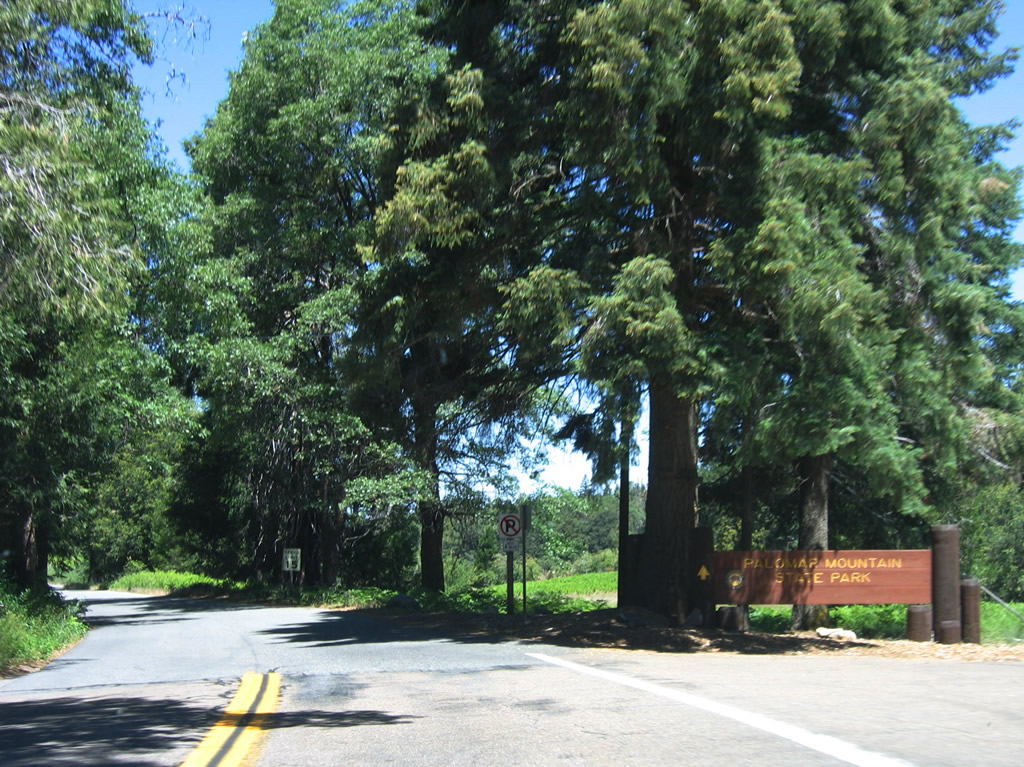
A wide turnout here allows larger vehicles to turn around before entering the state park. A ranger station lies beyond the entrance sign where visitors are charged a fee for entry into the park.
06/16/06
South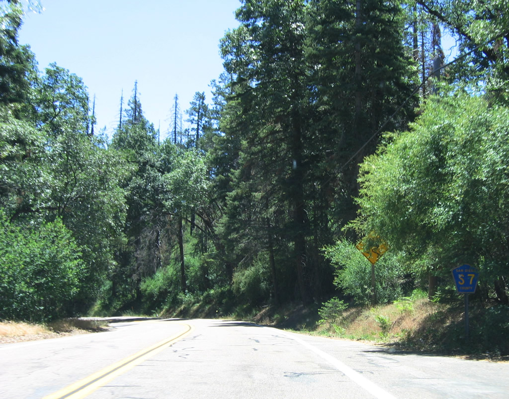
The first reassurance shield for San Diego County S-7 is posted after the exit from Palomar Mountain State Park.
06/16/06
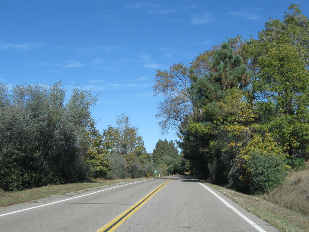
Two-lane San Diego County S-7 carries mostly recreational traffic to and from Palomar Mountain State Park.
06/16/06
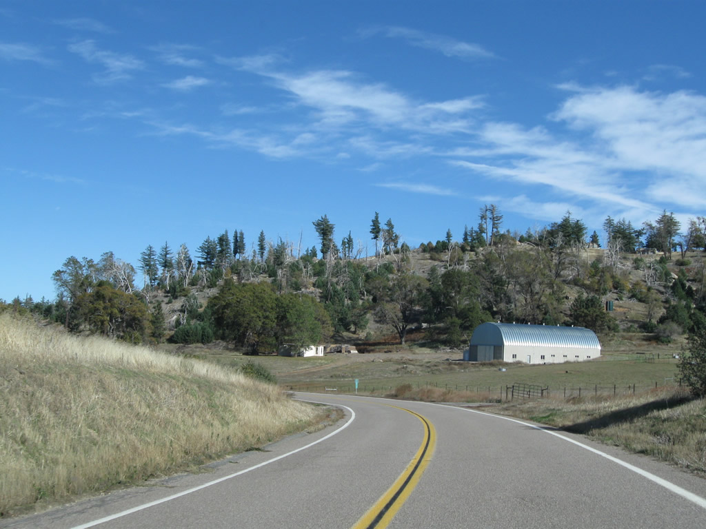
A few privately owned properties also take their access from San Diego County S-7.
06/16/06
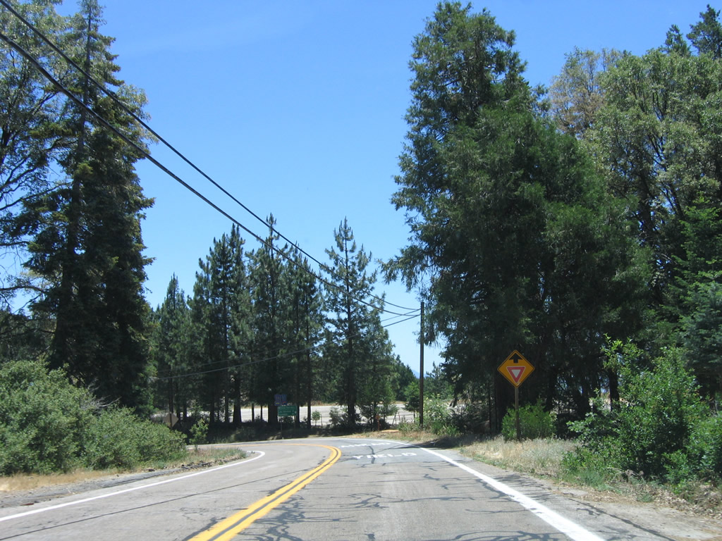
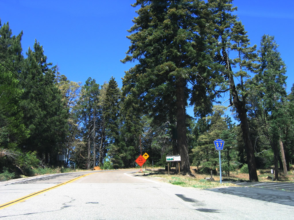
Eastbound San Diego County S-7 (State Park Road) approaches San Diego County S-6 on Palomar Mountain.
06/16/06
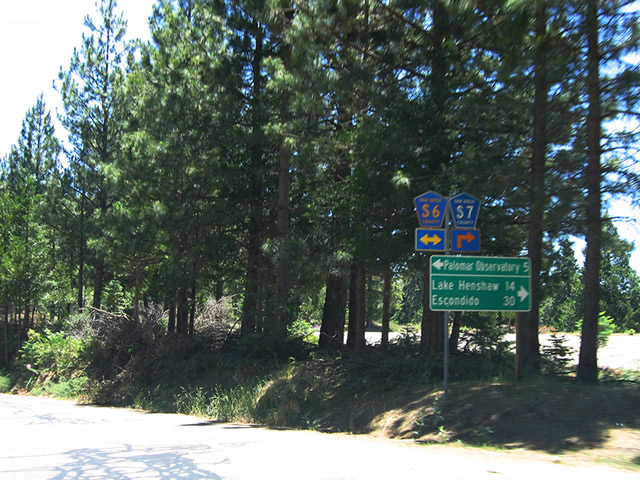
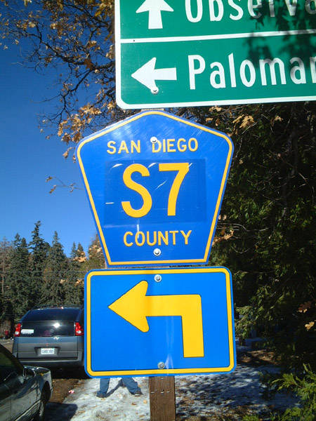
County Road S-6 follows South Grade Road north to the Palomar Observatory. Turn right for S-6 south to Pauma Valley and Valley Center and S-7 southeast to Lake Henshaw.
06/16/06
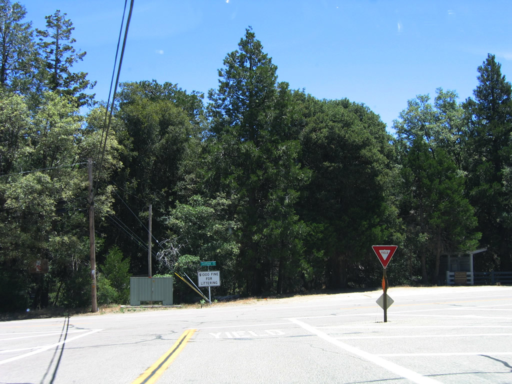
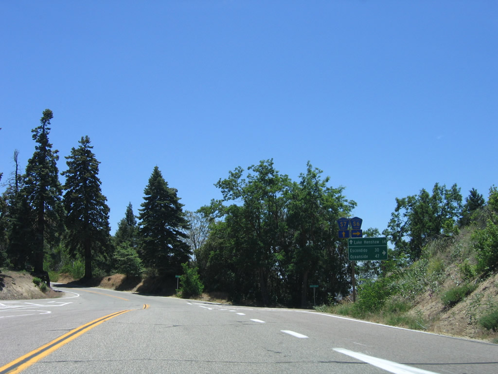
County Roads S-6 and S-7 come together at this intersection governed by a yield sign. A small business plaza lies on the northwest corner of the junction.
06/16/06
Beyond a short overlap, CR S-6 (South Grade Road) turns west toward Frazier Point and SR 76 at Pauma Valley. CR S-7 continues southeast along East Grade Road to Birch Hill.
06/16/06
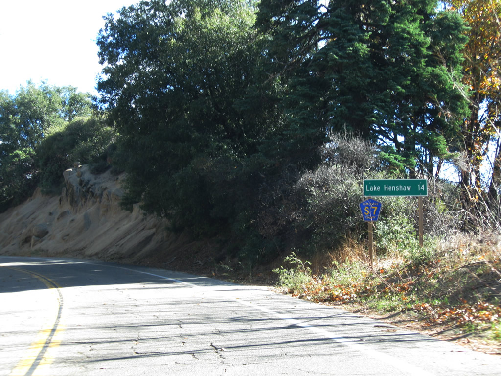
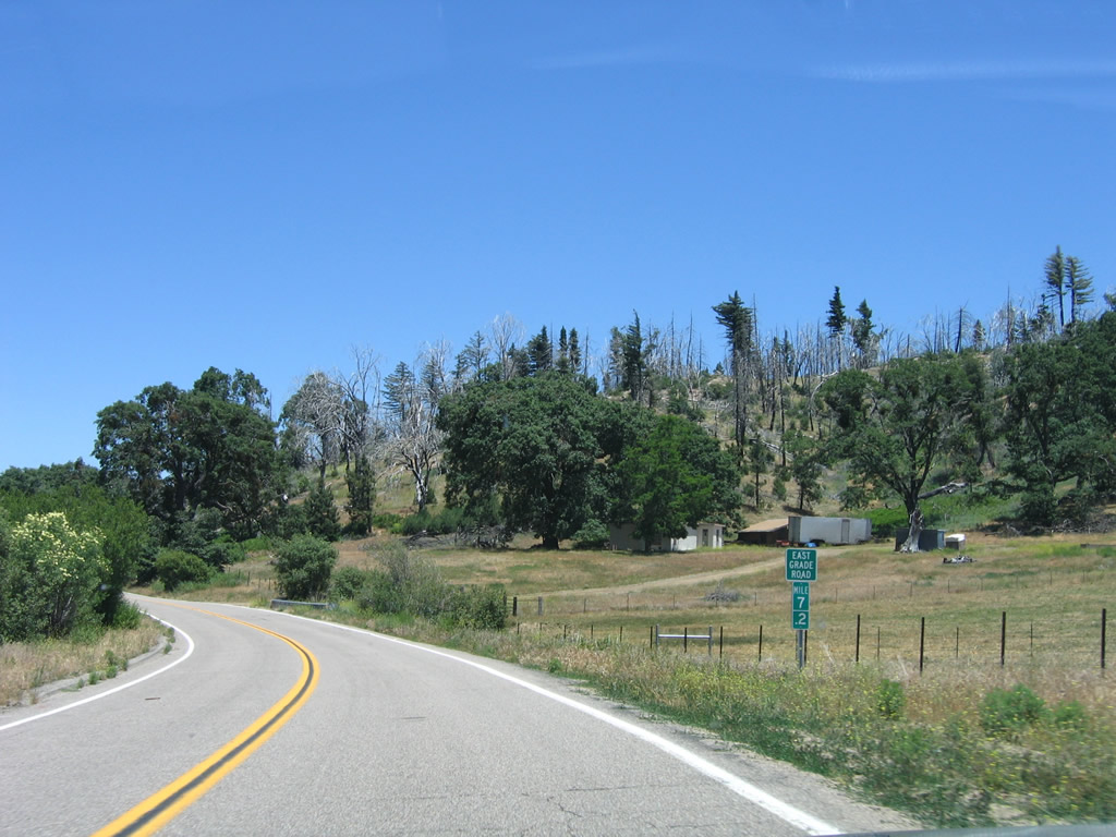
Confirming marker and distance sign posted after the separation with San Diego County S-6 (South Grade Road) along CR S-7 east. Lake Henshaw lies 14 miles ahead.
11/11/10
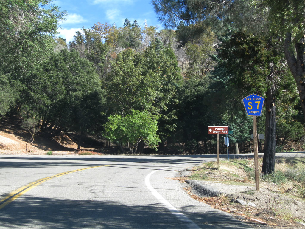
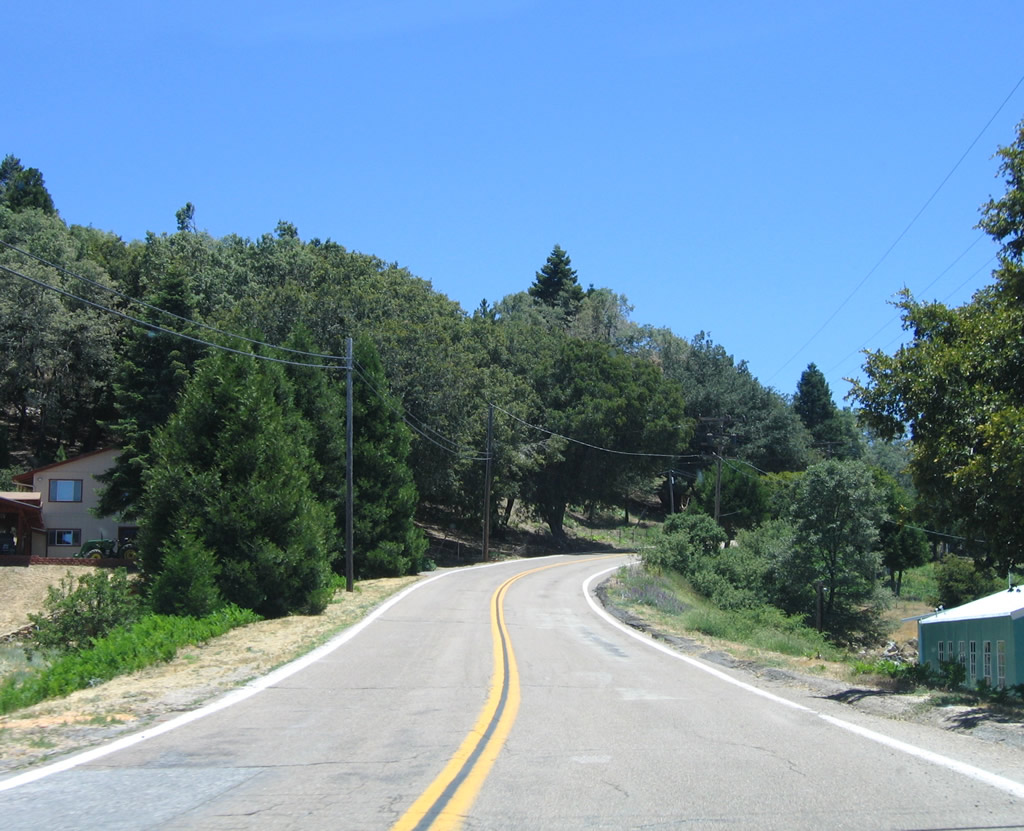
Crestline Road spurs north and east from San Diego County S-7 onto Birch Hill, connecting East Grade Road with Palomar County Park.
11/11/10
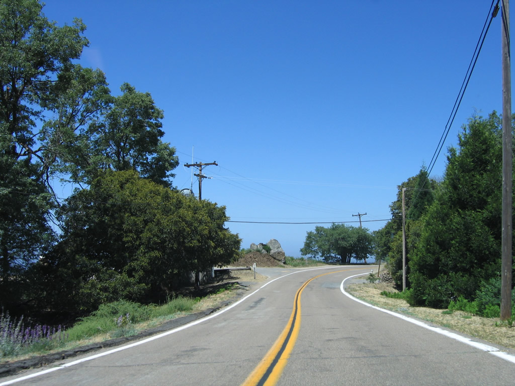
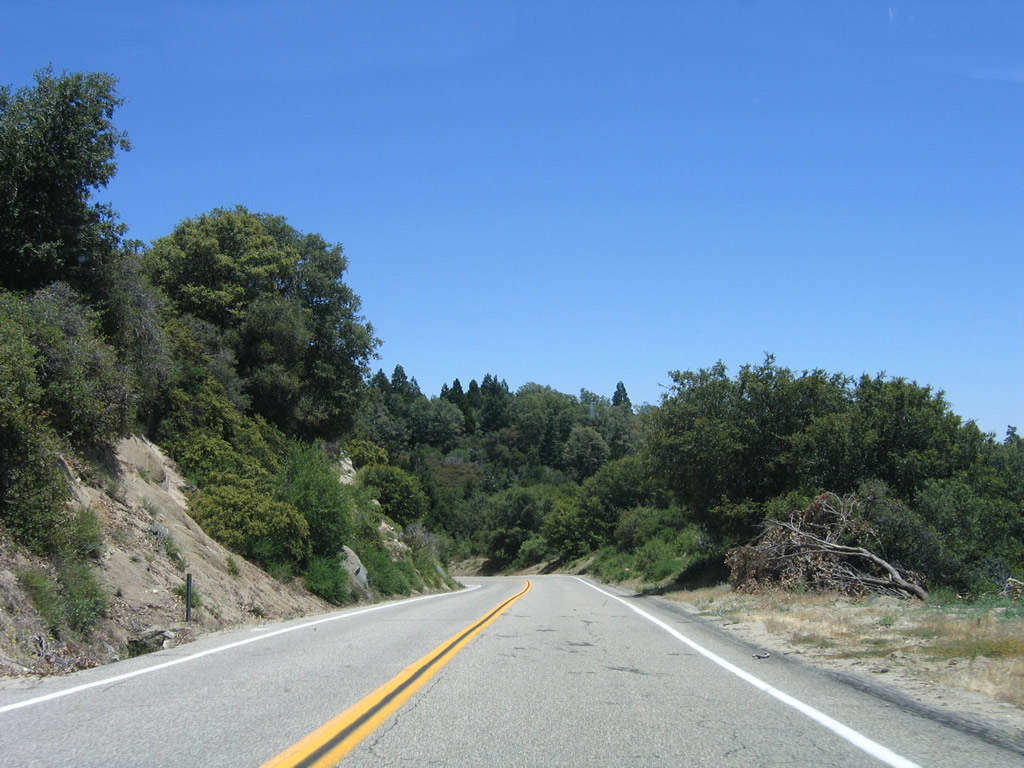
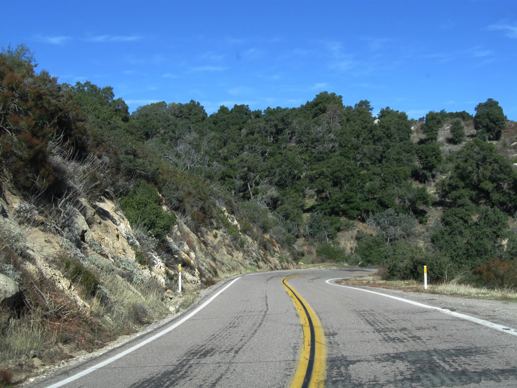
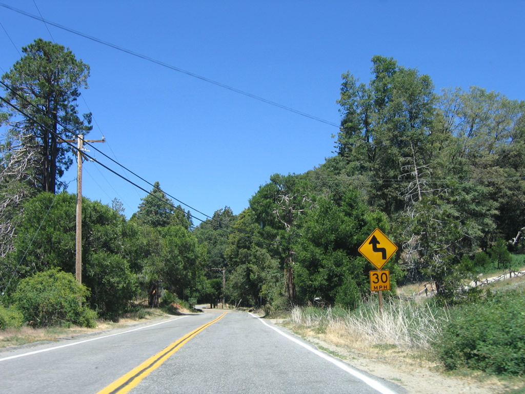
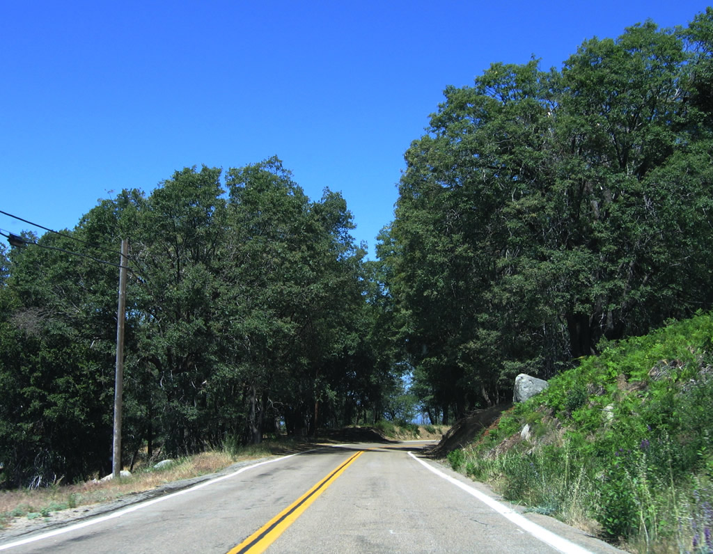
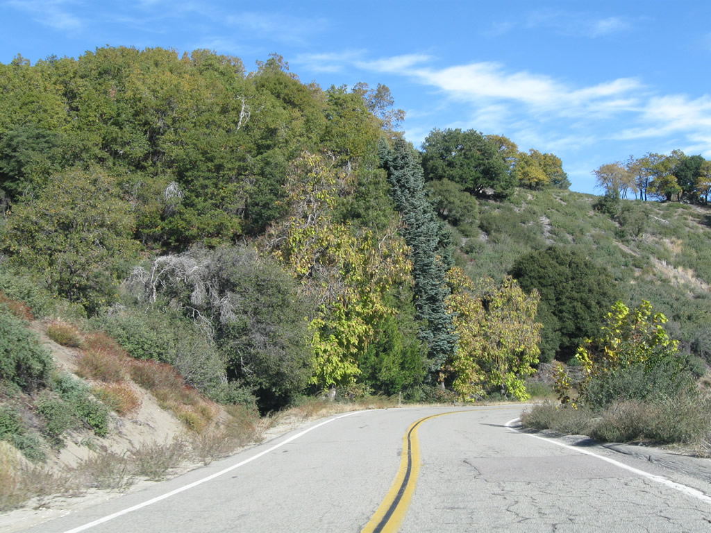
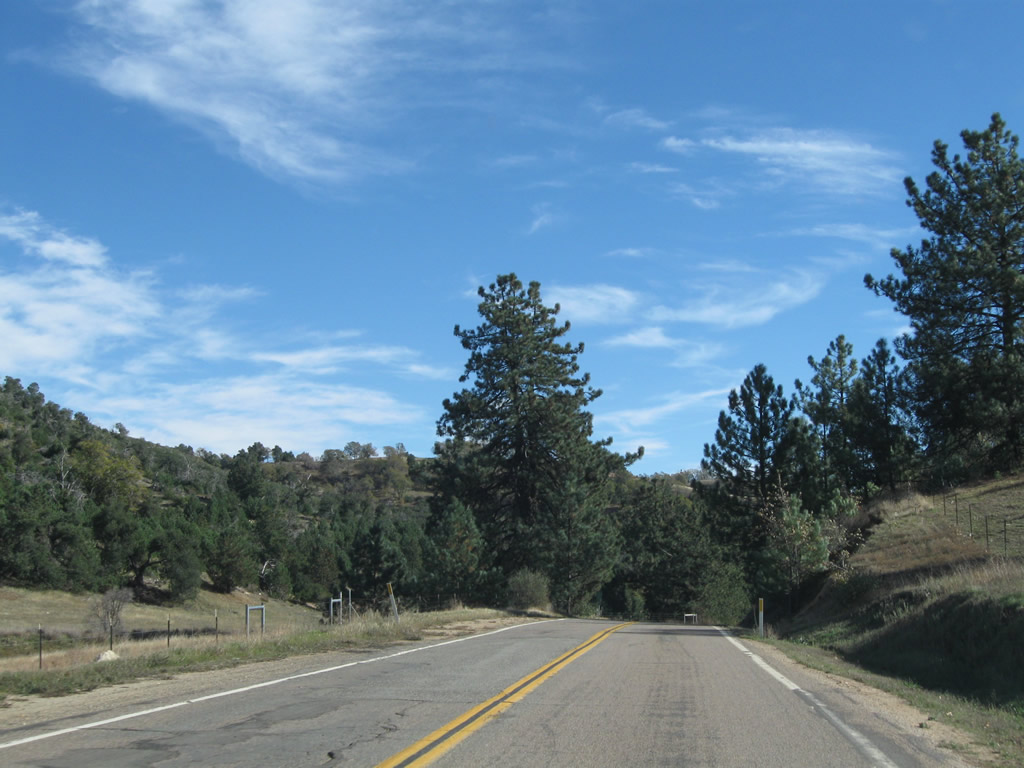
Continuing southeast from Birch Hill, CR S-7 (East Grade Road, also known as Highway to the Stars) follows a series of gentle curves from Palomar Mountain toward Jeff Valley.
06/16/06
11/11/10
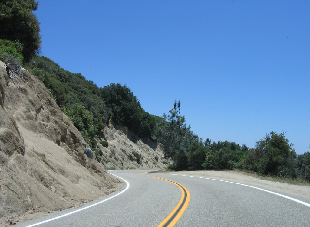
San Diego County S-7 is considered to be the gentler and easier of the two main highways onto Palomar Mountain, but it is significantly longer than CR S-6, which has quite a few switchbacks and a steeper descent.
06/16/06
11/11/10
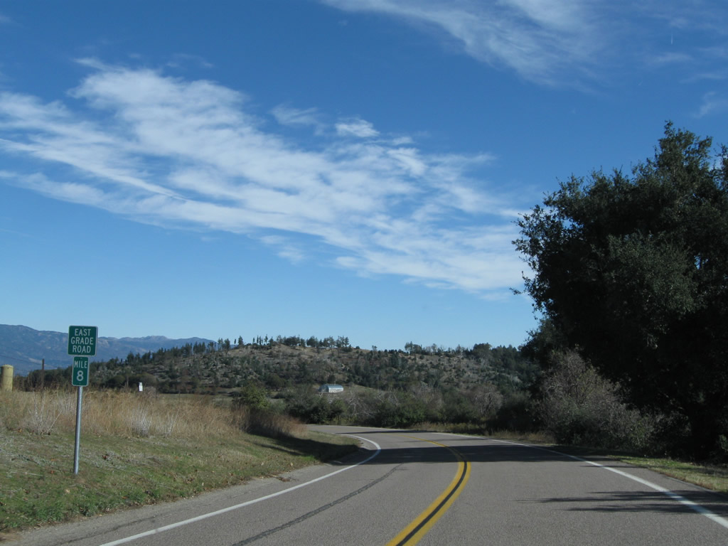
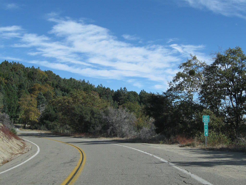
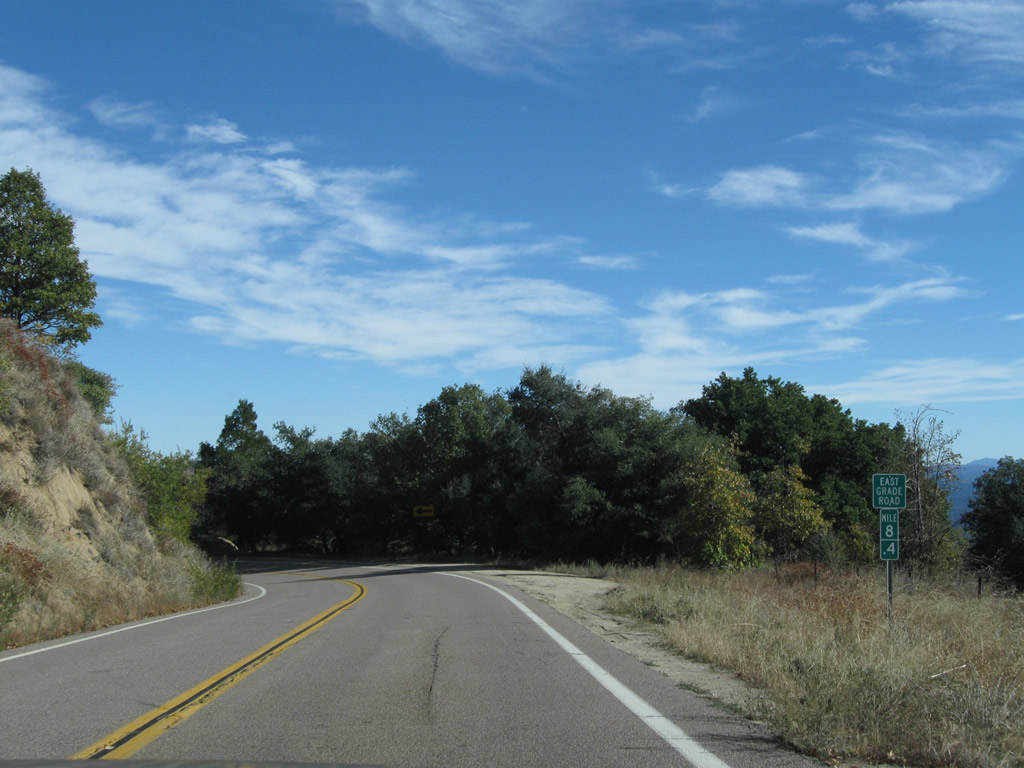
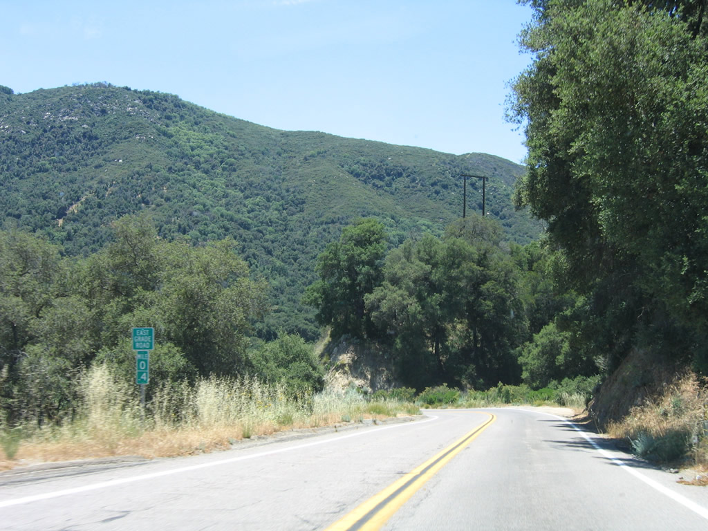
East Grade Road lowers into Dyche Valley beyond milepost 8.
11/11/10
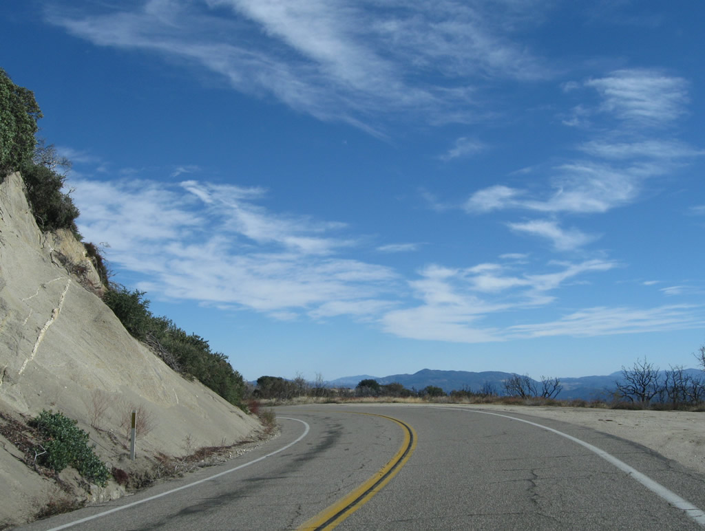
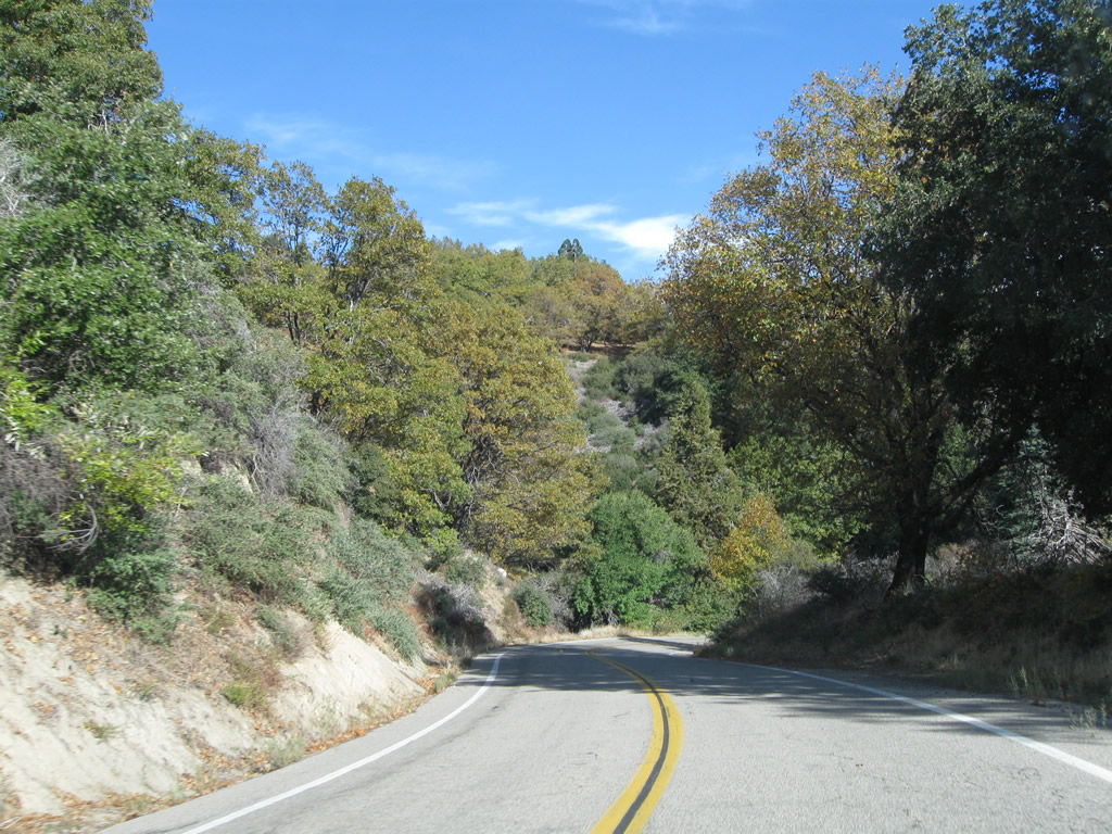
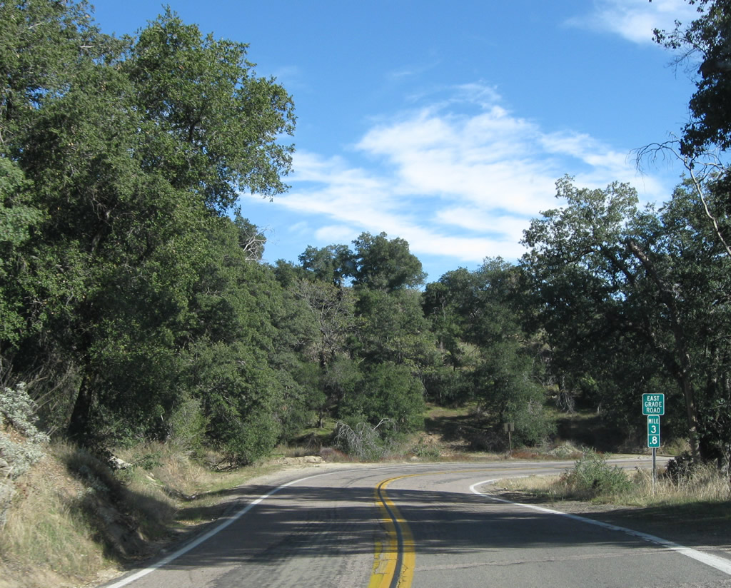
County Road S-7 winds northward around the Pine Hills to Will Valley. East Grade Road turns back south at Parayne Hill.
06/16/06
11/11/10
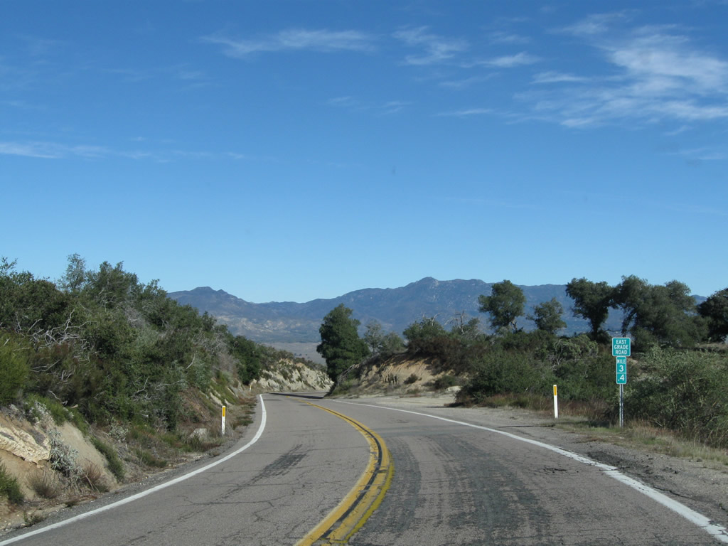
Traveling southeast along a winding stretch east of Love Valley CR S-7 gradually lowers in elevation, dropping over 1,000 feet in elevation from 4,000 feet near Will Valley.
11/11/10
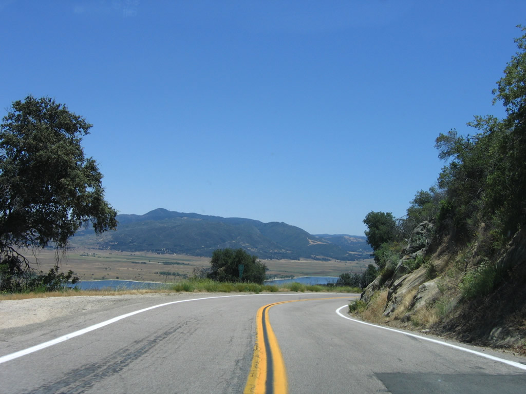
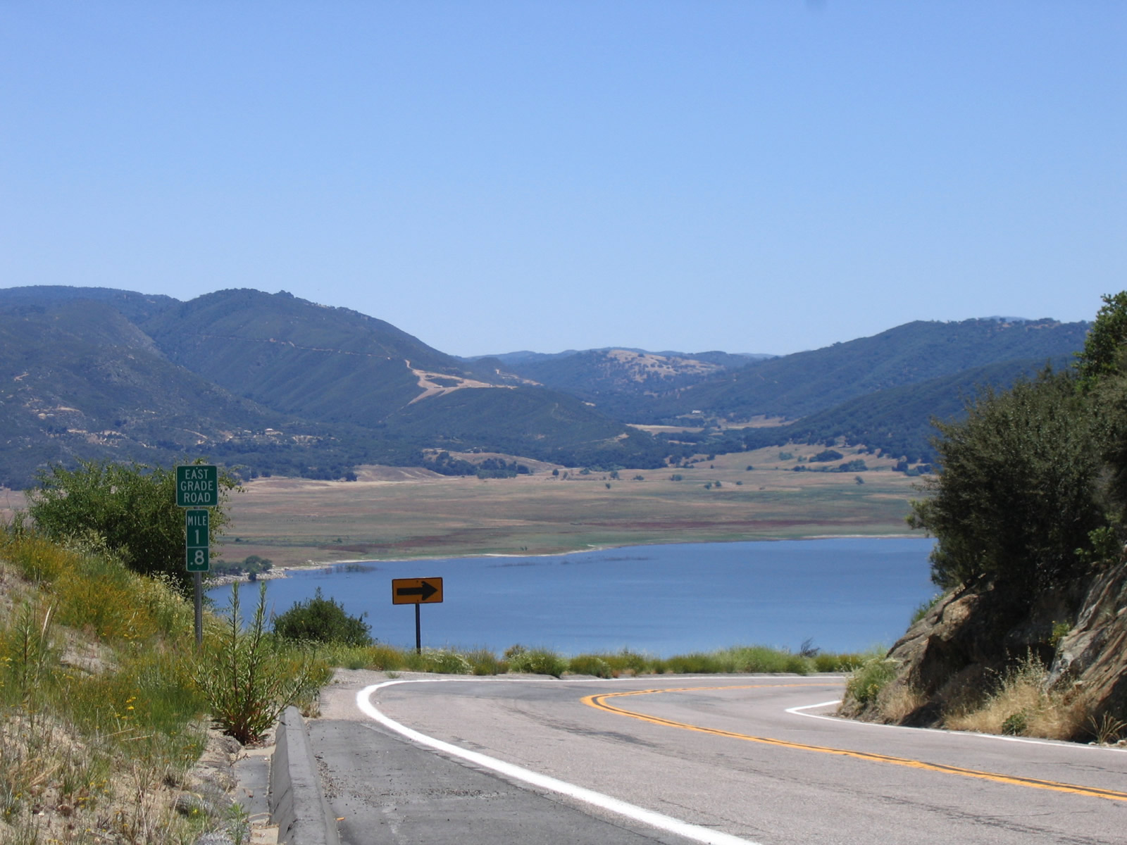
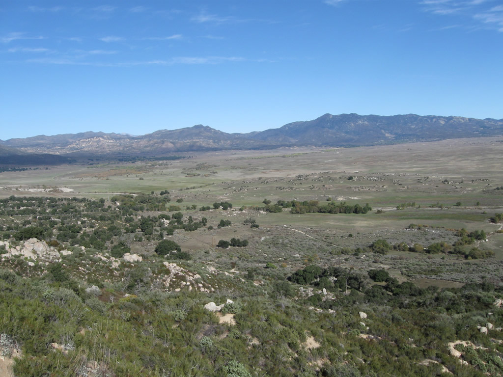
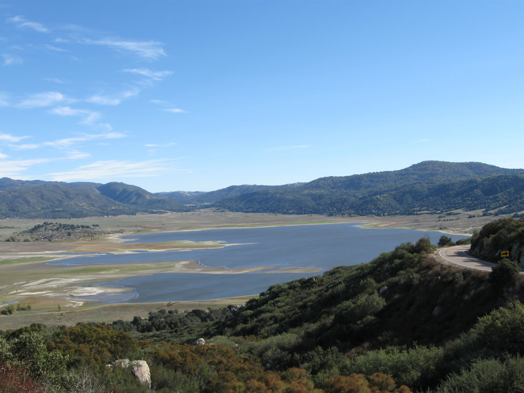
The Henshaw Scenic Vista located at milepost 1.8 provides an unobstructed look at the lake spreading to the east.
06/16/06
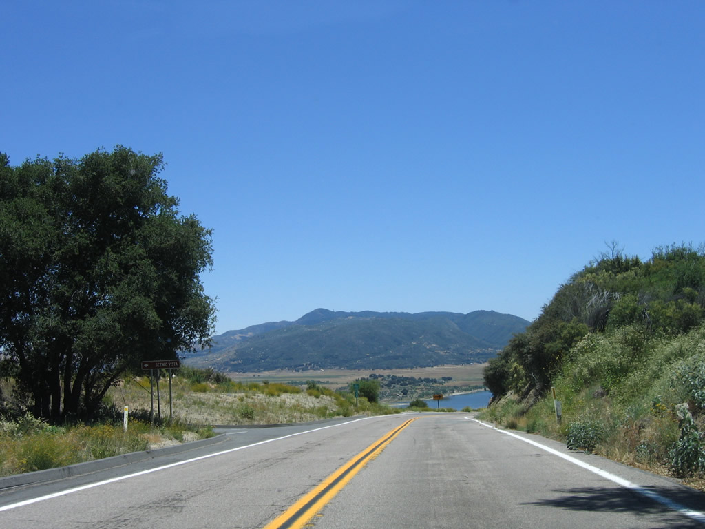
The final mile of San Diego County S-7 (East Grade Road) curves southwest by the Lake Henshaw spillway to cross the San Luis Rey River ahead of SR 76.
06/16/06
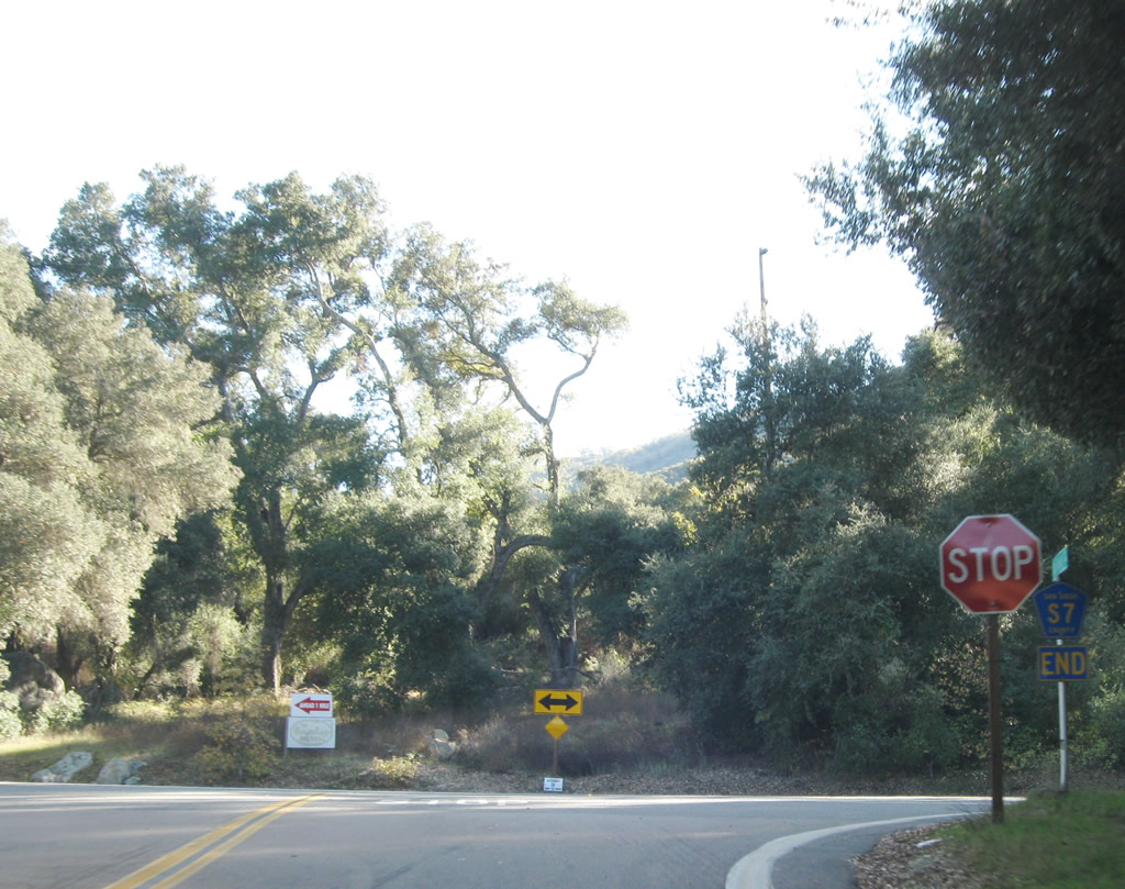
San Diego County S-7 (East Grade Road) south ends at SR 76 just west of Lake Henshaw. SR 76 travels east to SR 79 and west to Pala and Interstate 15.
11/11/10
scenes - Palomar Mountain State Park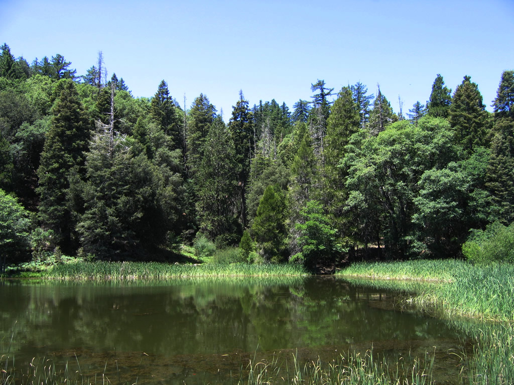
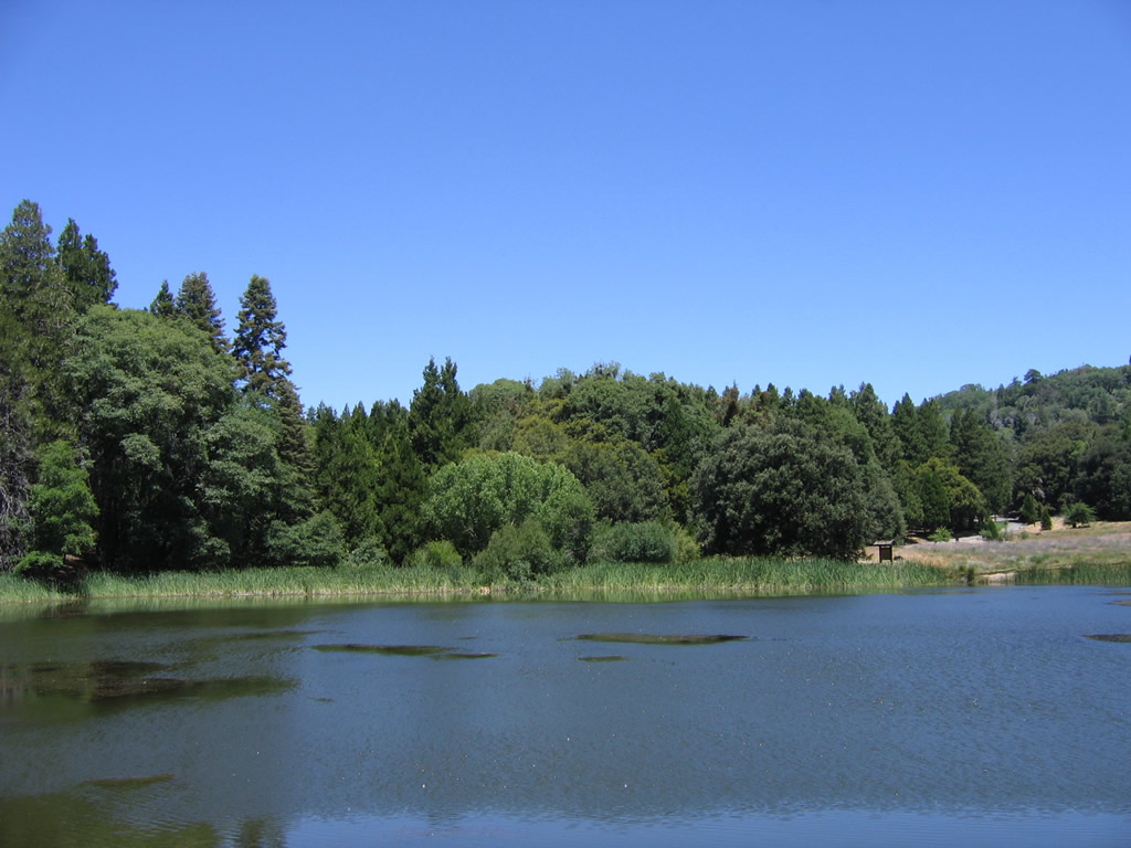
Doane Pond is one of the most popular hiking destinations within Palomar Mountain State Park.
06/16/06
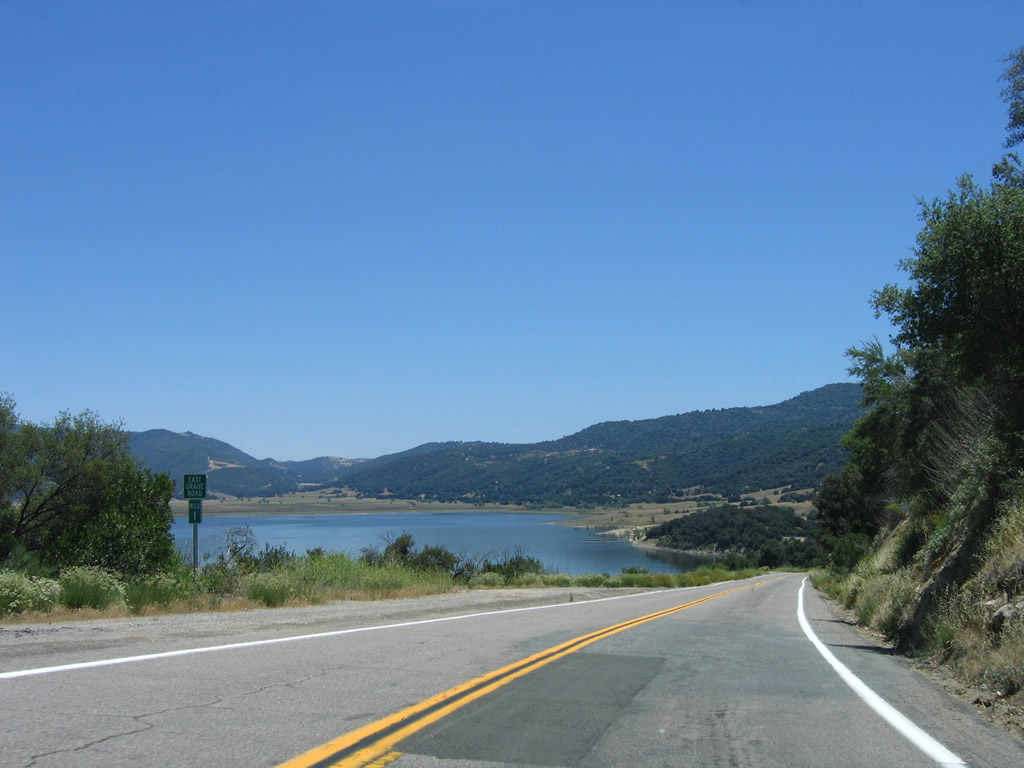
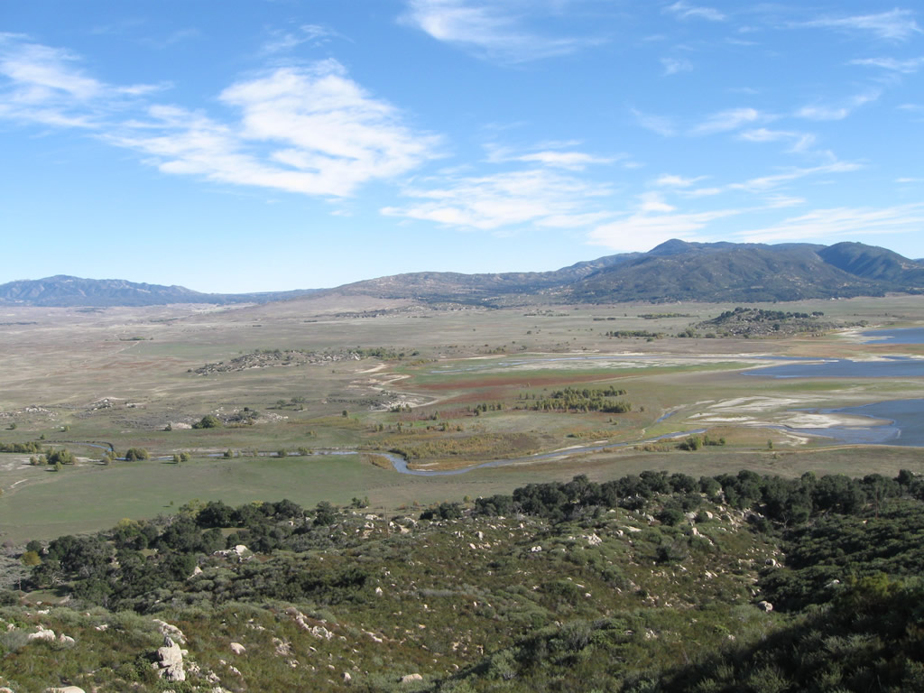
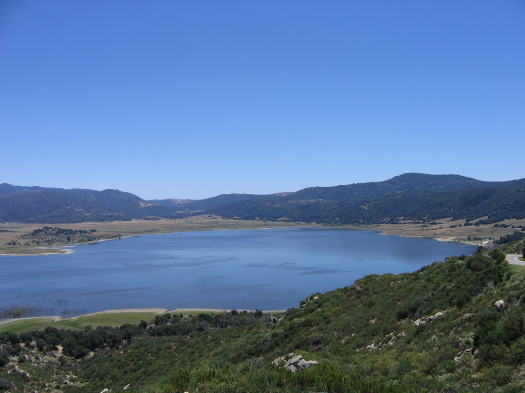
scenes - Henshaw Scenic Vista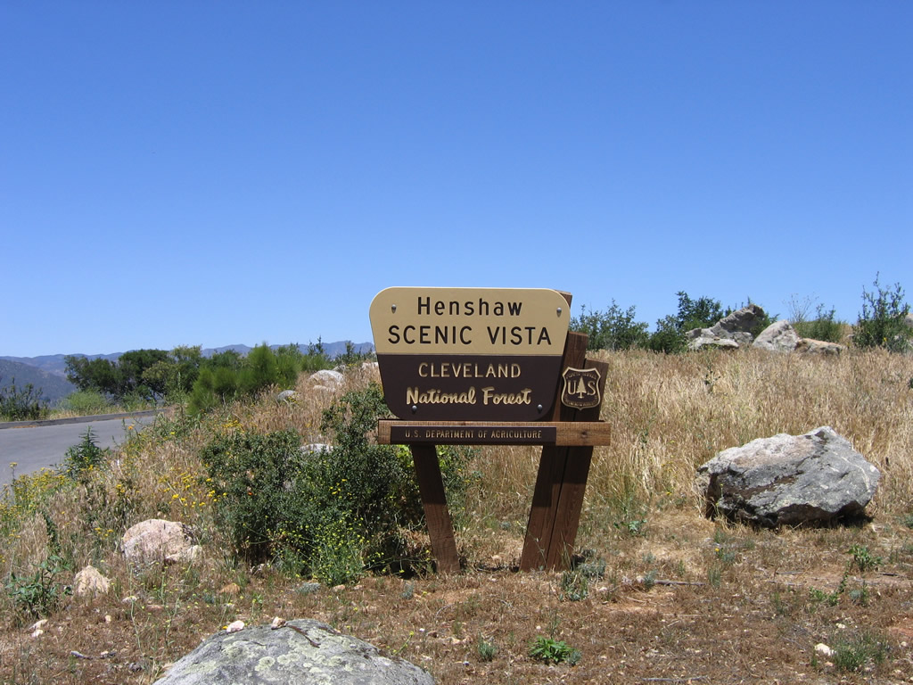
Views from the Henshaw Scenic Vista point along County Road S-7 (East Grade Road). Lake Henshaw is a reservoir owned by the Vista Irrigation District. Henshaw Dam, built in 1923, holds back waters within the lake. Below the dam, the water flows into the San Luis Rey River. The lake level varies depending upon how much rain falls during the annual rainy season.
06/16/06
11/11/10
Photo Credits:
- Andy Field: 01/21/02, 01/24/02, 06/16/06, 11/11/10
Connect with:


Page Updated Tuesday August 15, 2017.