
Imperial County Route S-34

Imperial County Route S-34 (Ogilby Road) is the most remote of the Imperial County signed route system, as it passes through arid desert land that is not irrigated and does not pass through any settlements for its entire length between Interstate 8 and California State Route 78.
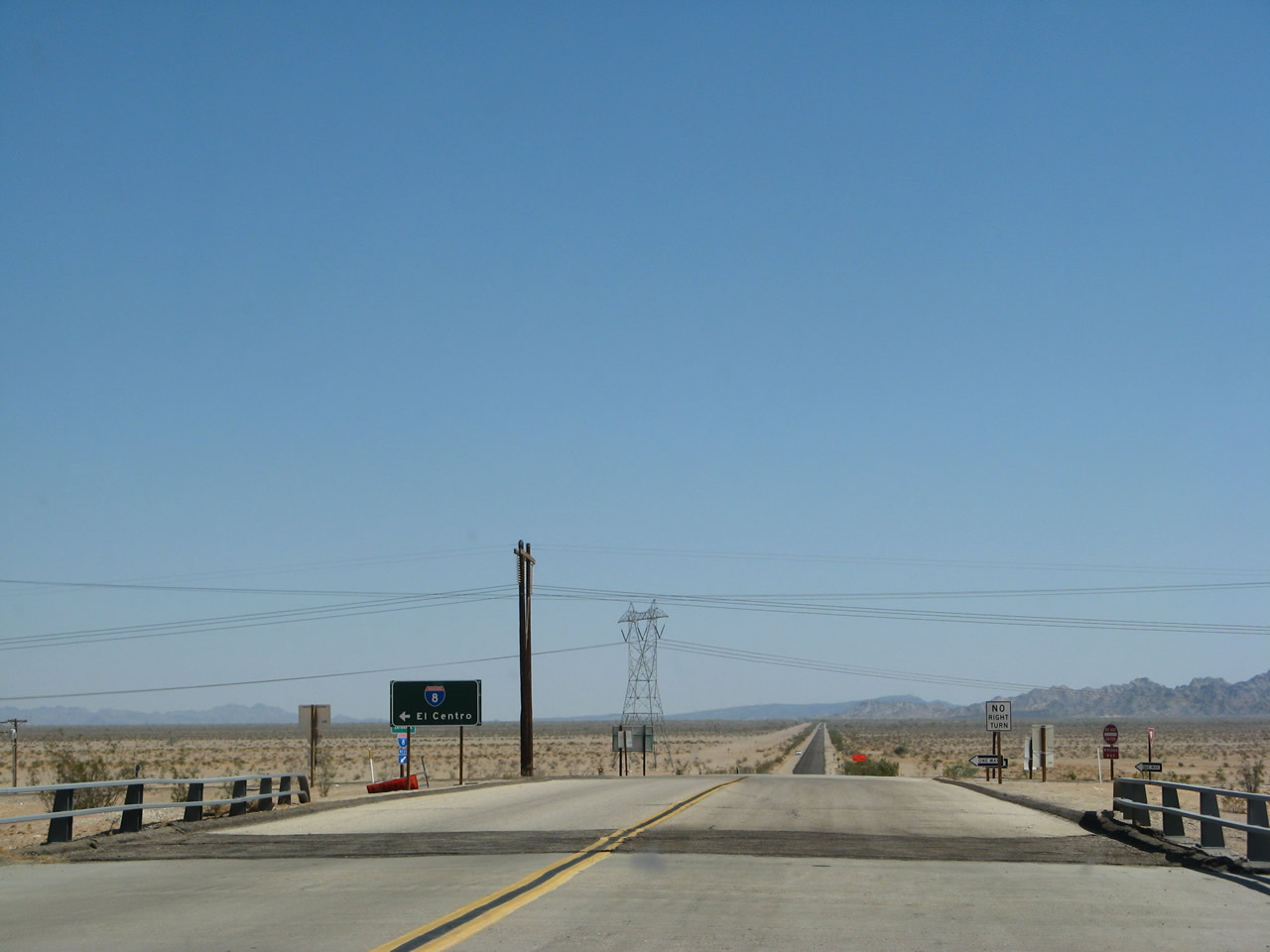
County Road S-34 originates at a diamond interchange (Exit 159) with Interstate 8 east of the Algodones Dunes.
06/28/08
A 500kV San Diego Gas & Electric transmission line spans CR S-34 (Ogilby Road) to the immediate north of Interstate 8. There is no initial CR S-34 reassurance shield.
06/28/08

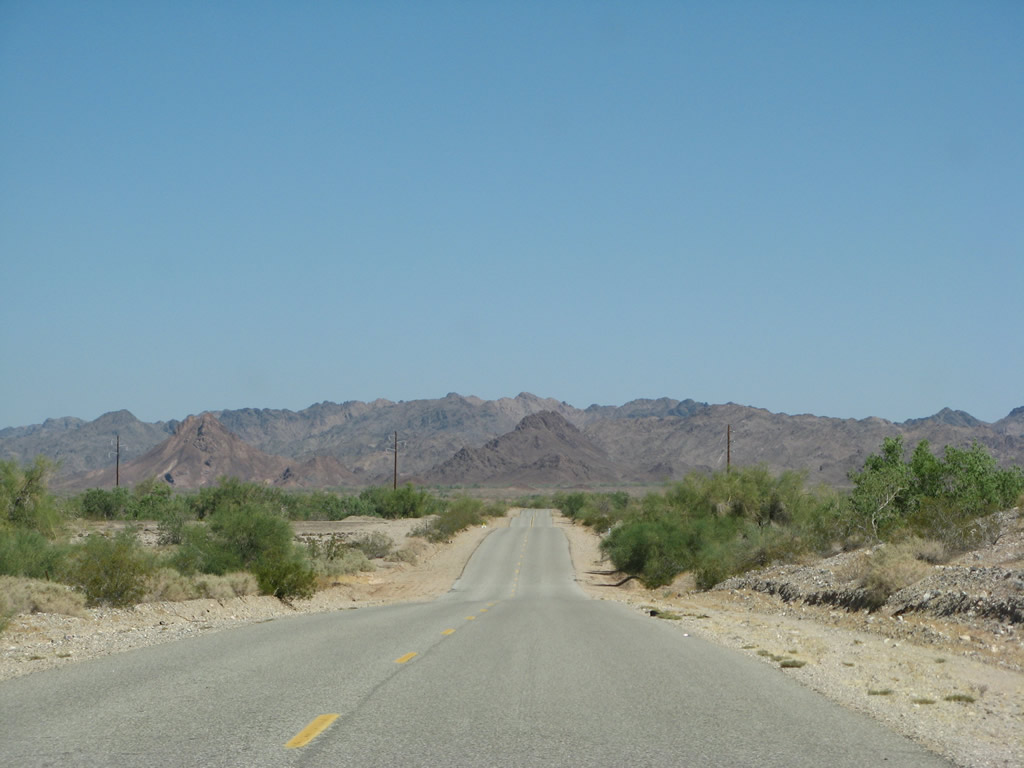
Northbound Imperial County S-34 (Ogilby Road) enters Picacho Recreation Lands, which are operated by the federal Bureau of Land Management.
06/28/08
Ogilby Road bee lines northward across Pilot Knob Mesa with small undulations matching the terrain.
06/28/08

Imperial County S-34 (Ogilby Road) crosses the Union Pacific Railroad at the site of Ogilby.
06/28/08
Resuming a northward heading, CR S-34 continues from Ogilby toward American Girl Wash.
06/28/08
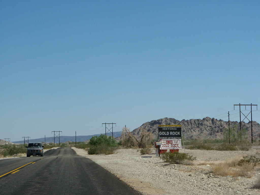
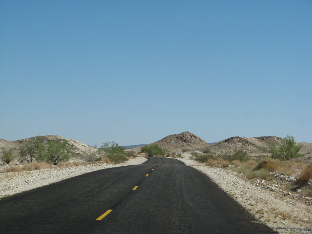
Northbound Imperial County S-34 (Ogilby Road) reaches Gold Rock Ranch Road west to Gold Rock Ranch. Gold Rock Ranch includes a small museum, the historic Tumco/Hedges Gold Mine, and an RV park.
06/28/08
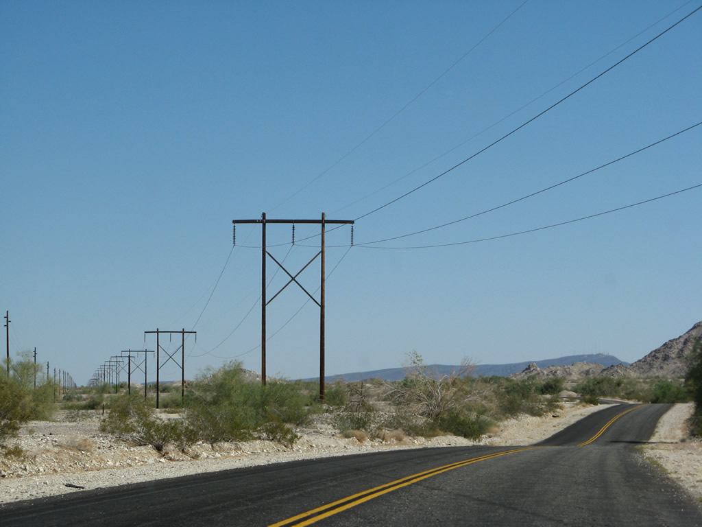
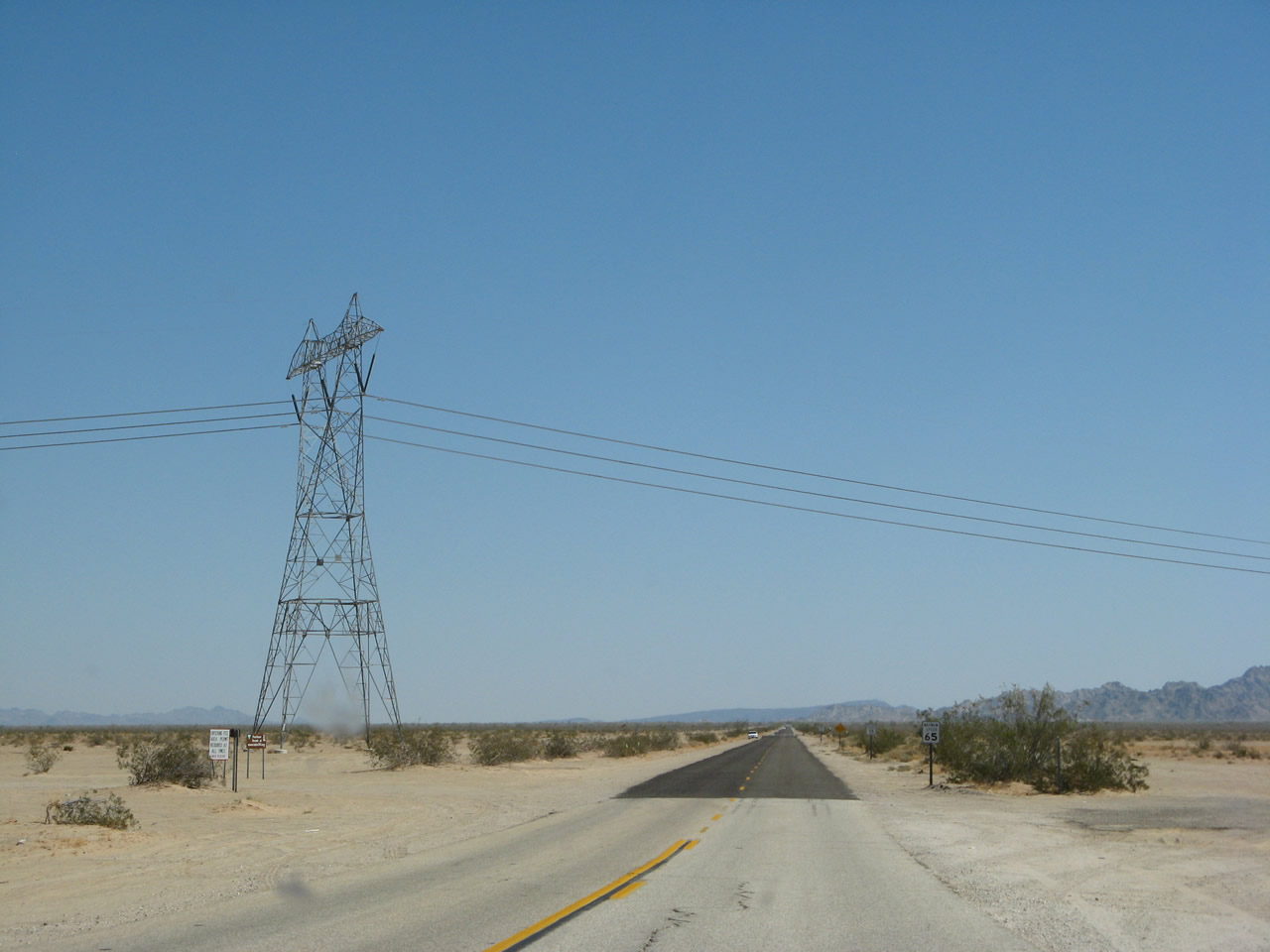
Imperial County S-34 (Ogilby Road) advances north under another set of power lines, which travel northwest from here.
06/28/08
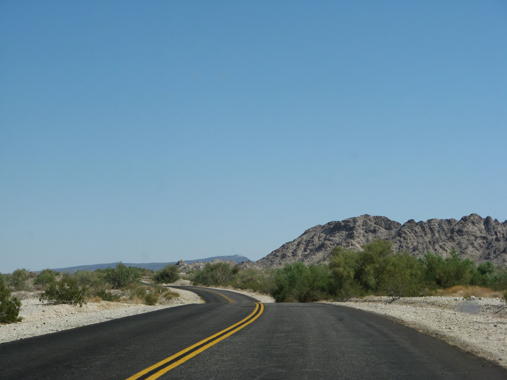
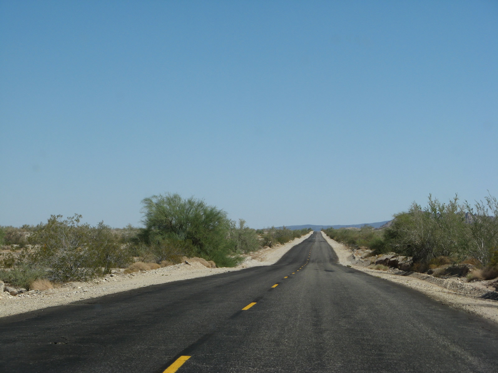
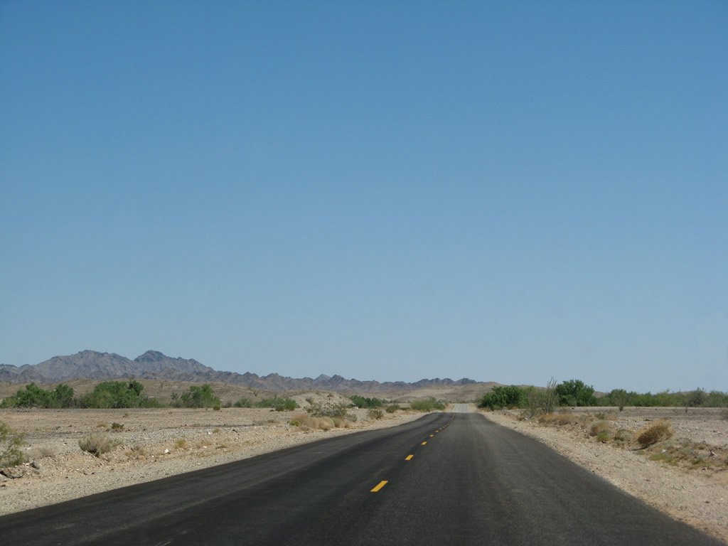
The terrain gradually changes along Imperial County S-34 (Ogilby Road) from flat, arid desert to rolling hills with rocky outcroppings. Ogilby Road angles northwest from the periphery of the Cargo Muchacho Mountains.
06/28/08
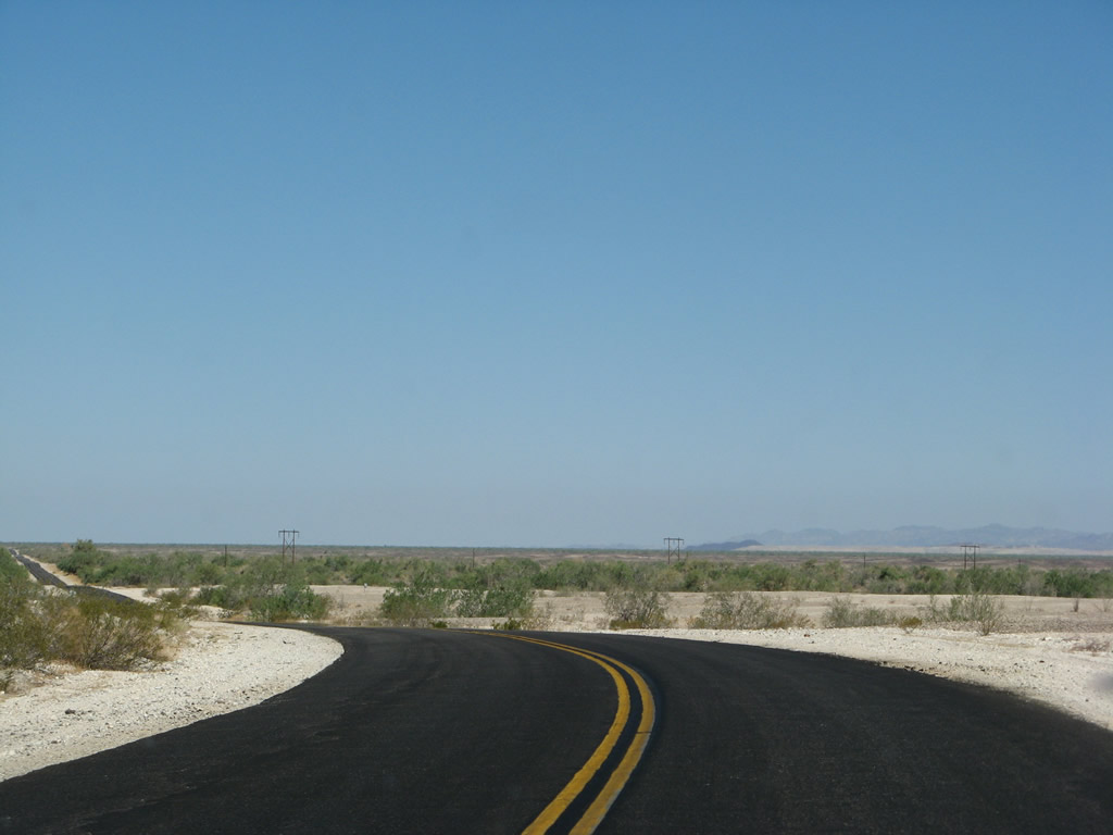
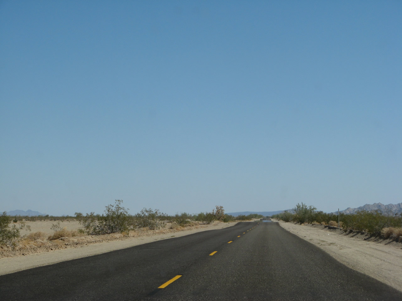
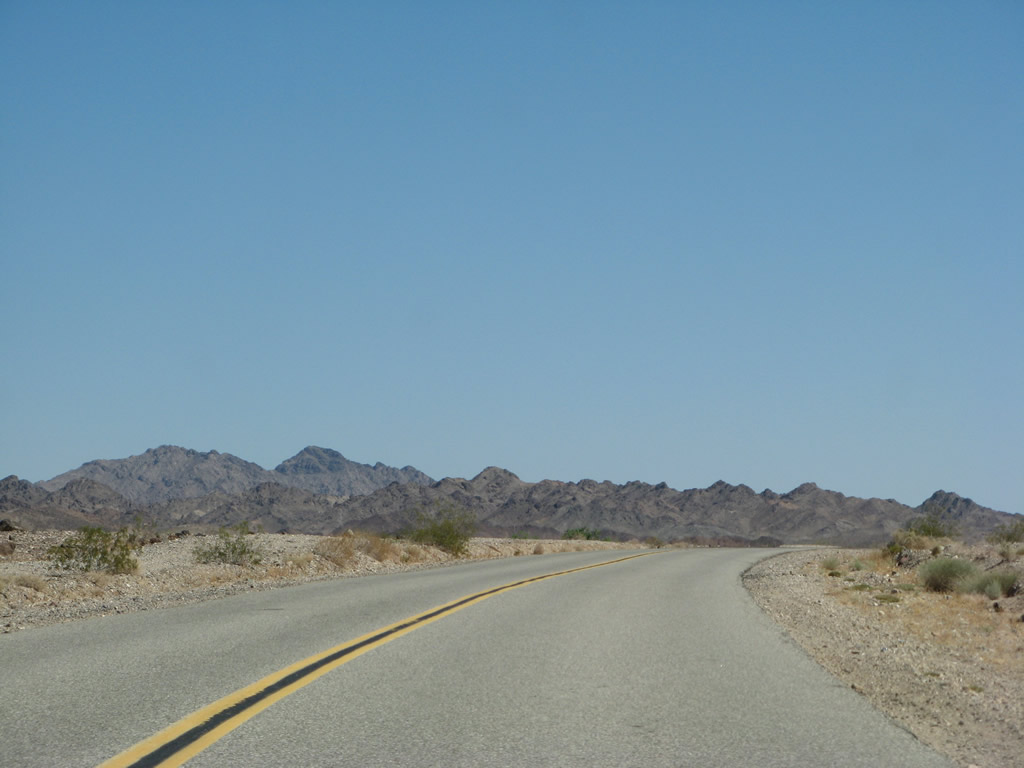
A long straight away takes Imperial County S-34 (Ogilby Road) northwest from Indian Wash. Dry desert scrub contrasts with the sandy, rocky land.
06/28/08
Imperial County S-34 (Ogilby Road) north gradually approaches the distant Chocolate Mountains. The desolate highway sees very limited traffic on its route between Interstate 8 and SR 78.
06/28/08
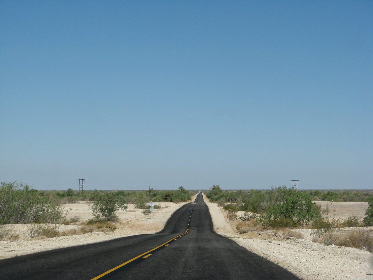
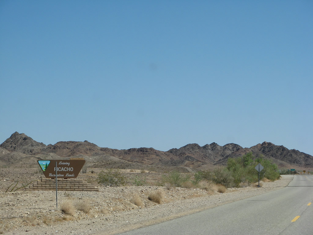
Ogilby Road leaves the Picacho Recreation Lands just ahead of SR 78. The two routes meet west of Black Mountain and east of Glamis, which is well known by four-wheelers as a mecca for driving off-road, all-terrain vehicles over seemingly endless sand dunes.
06/28/08
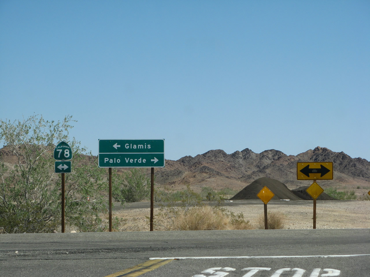
SR 78 ventures west across the Imperial Desert to Brawley and the Salton Sea. The state route eastbound travels north to Palo Verde and Blythe.
06/28/08
Imperial County S-34 (Ogilby Road) south concludes at Interstate 8 near the Algodones Sand Dunes. Ogilby Road dead ends on the south side of the diamond interchange.
06/28/08
Photo Credits:
- Andy Field: 06/28/08
Page Updated Thursday August 17, 2017.