County Road Y24


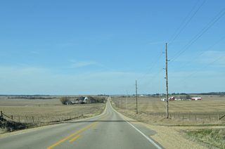
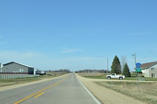
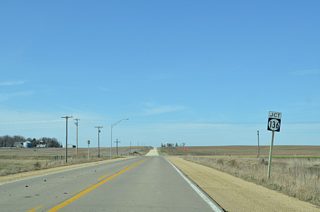
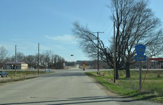
County Road Y24 is an 8.4 mile long route joining U.S. 30 at Lowden in northeastern Cedar County with Iowa 136 along the Jones / Clinton County line west of Lost Nation.
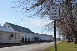
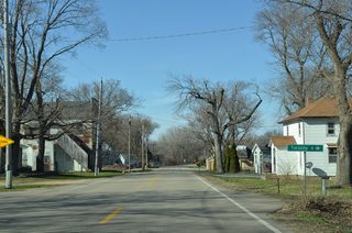
Farm to Market Route sign posted one block ahead of CR Y24 (Washington Avenue) along 1st Street west at Jefferson Avenue in Lowden.
03/25/16
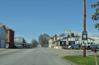
The Lincoln Highway Heritage Byway follows County Road Y24 (Washington Avenue) north out of Lowden.
03/25/16
The Lincoln Highway Heritage Byway returns to U.S. 30 west from CR Y24 (Hoover Highway) via 155th Street.
03/25/16
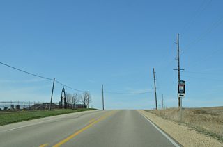
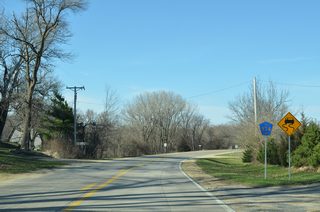
The first reassurance marker for Cedar County Road Y24 appears along Hoover Highway north of 155th Street.
03/25/16
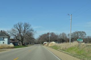
CR Y24 (Hoover Highway) dog legs a quarter mile east ahead of the unincorporated community of Massillon.
03/25/16
County Road E63 (120th Street) crosses CR Y24 at Massillon, 3.1 miles west of the Toronto city line.
03/25/16
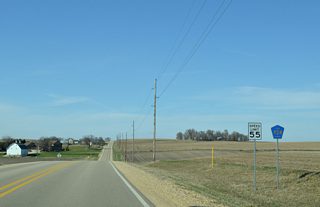
Shifting eastward, County Road Y24 runs along the Clinton and Jones County line north from 160th Street.
03/25/16
Approaching Iowa 136 on CR Y24 (100th Avenue) north. Iowa 136 travels west to Oxford Junction and east to Lost Nation.
03/25/16
Photo Credits:
- Alex Nitzman, Bill Gatchel: 03/25/16
Connect with:
Page Updated Friday December 20, 2019.

