
County KK

Straddling the Calumet County line with both Brown and Outagamie Counties, CTH-KK runs west from CTH-D at Hollandtown to the city of Appleton.
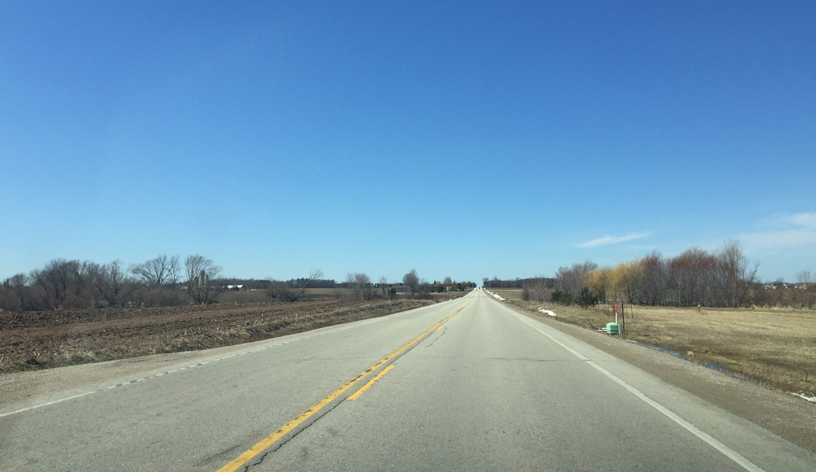
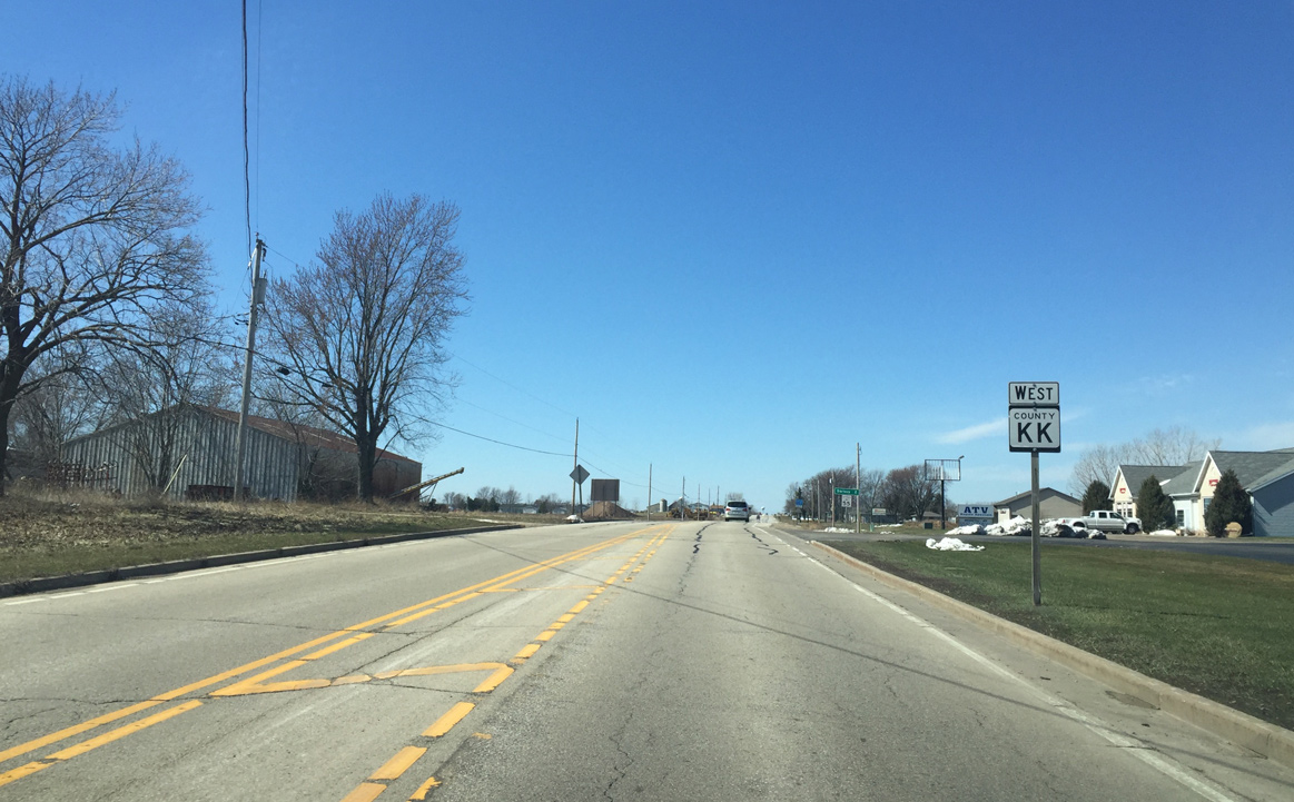
County KK begins at County D south of Hollandtown. It follows a county line for most of its length, except a short stretch of John Street in Appleton. The jurisdiction of who maintains the road switches every few miles. Brown County maintains this stretch, and the road also borders Calumet County here.
03/28/16
Amid open farm land, County KK passes just south of the Brown/Outagamie County line, which lies to the right in this scene. Calumet County maintains this section of County KK, and is located to the left.
03/28/16
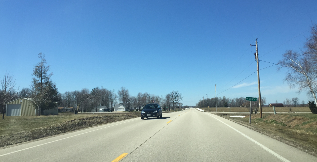
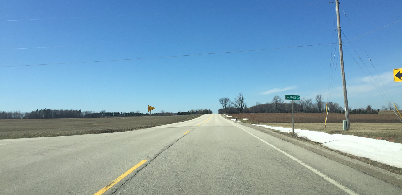
Brant St. John Road leads south from CTH-KK to the small unincorporated community of Dundas. Only town roads serve the community.
03/28/16
Continuing west across agricultural areas on County KK after Brant St. John Road.
03/28/16
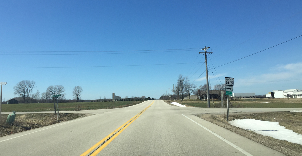
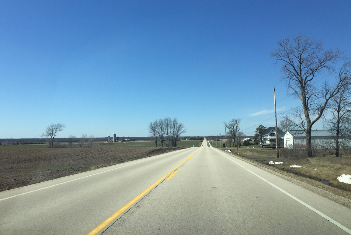
Next in line for westbound motorists on County KK is the intersection with County GG (Military Road). This road is part of the larger Military Road that was constructed in the early 1800s between Prairie Du Chien and Green Bay.
03/28/16
County KK is maintained by Outagamie County at this point as the rural highway leaves the junction with County GG.
03/28/16
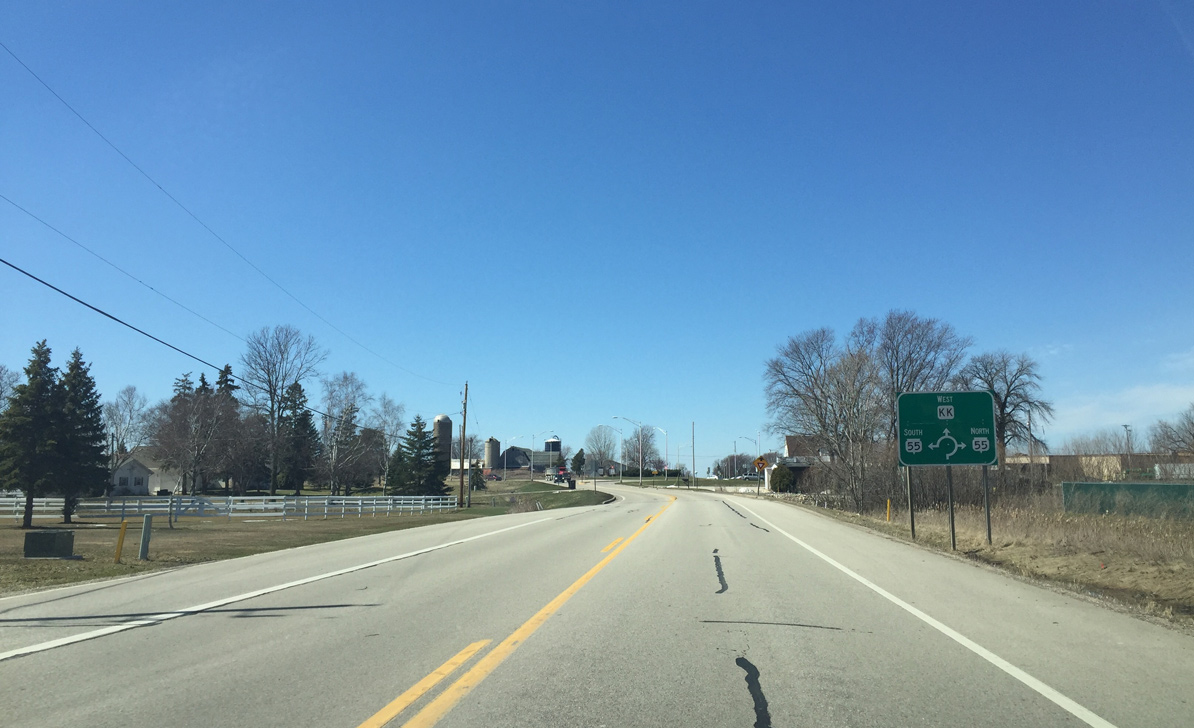
Just west of Wisconsin International Raceway, County KK and Wis 55 come together in an industrial area at a roundabout.
03/28/16
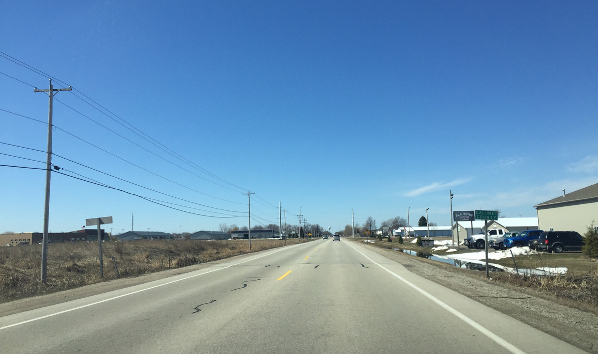
Exiting the roundabout, CTH-KK passes along the southern outskirts of Kaukauna. Wis 55 leads north through the city while southbound heads to Sherwood.
03/28/16
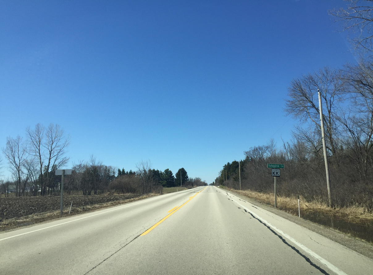
Confirming marker for Outagamie County KK posted after Wis 55.
03/28/16
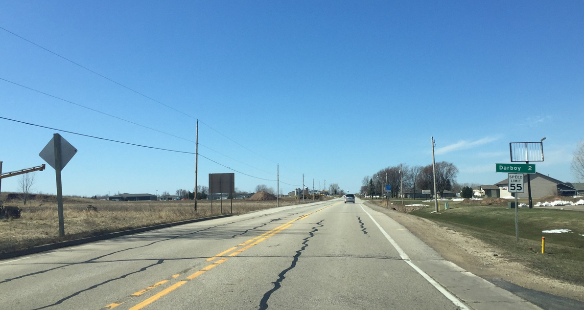
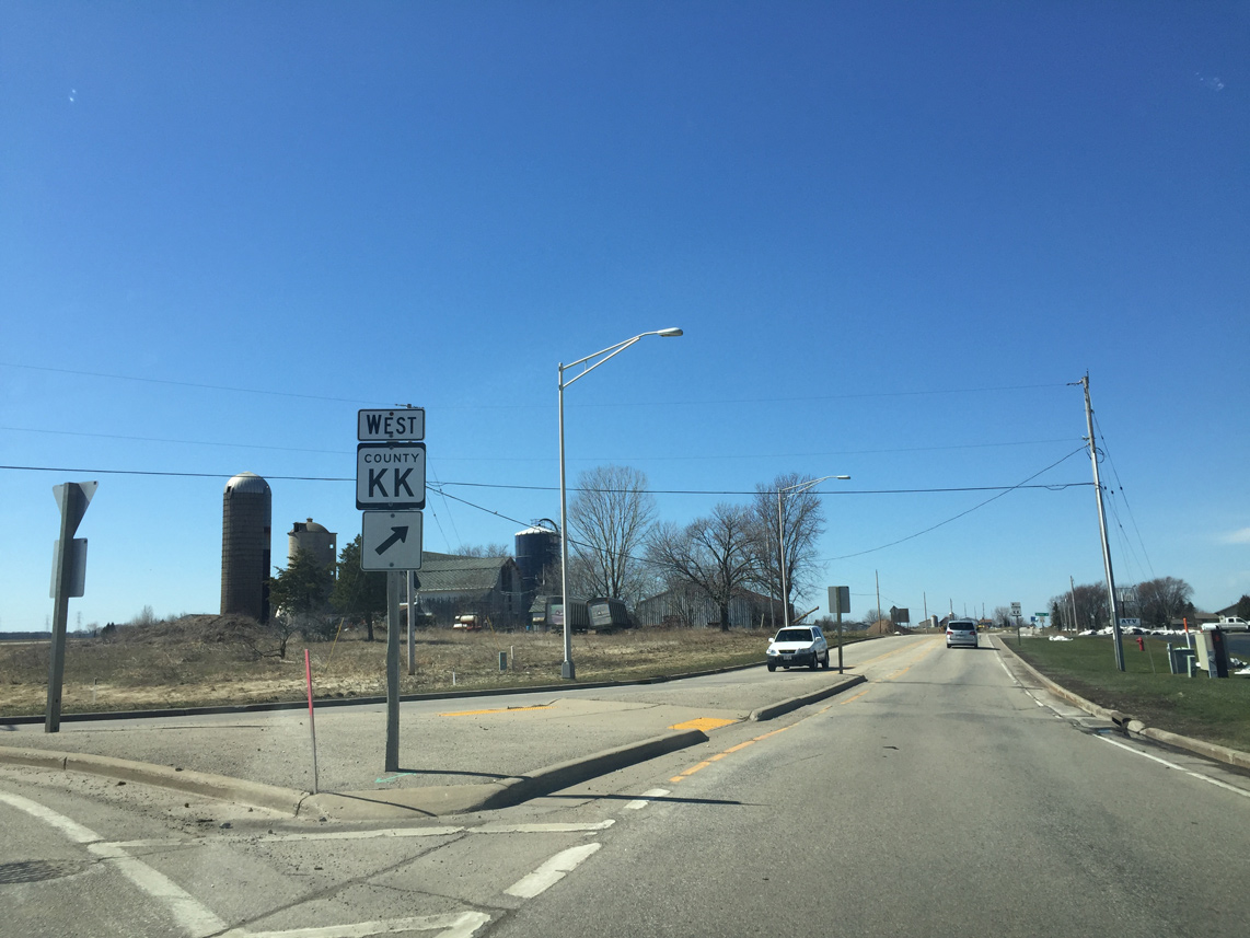
Guide sign informing motorists that Darboy is two miles ahead along County KK west.
03/28/16
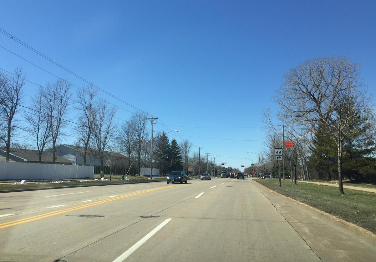
Calumet County takes control of the road again as CTH-KK approaches State Park Road.
03/28/16
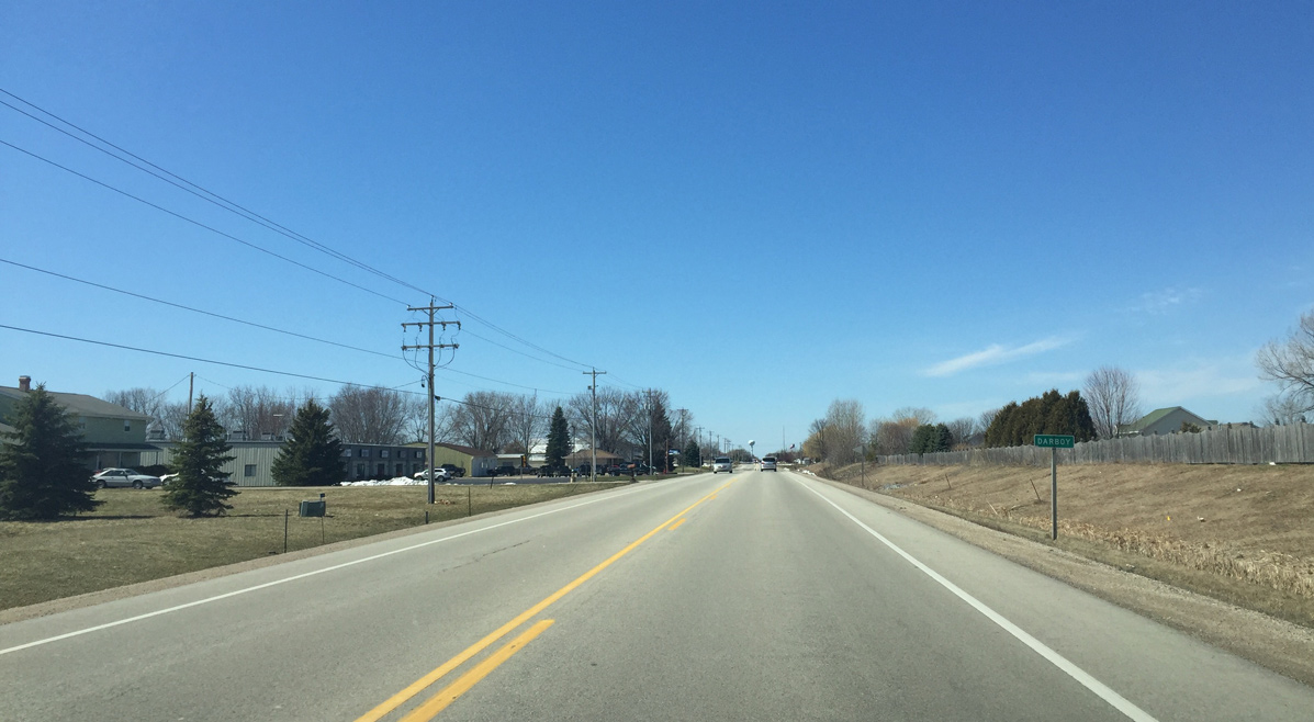
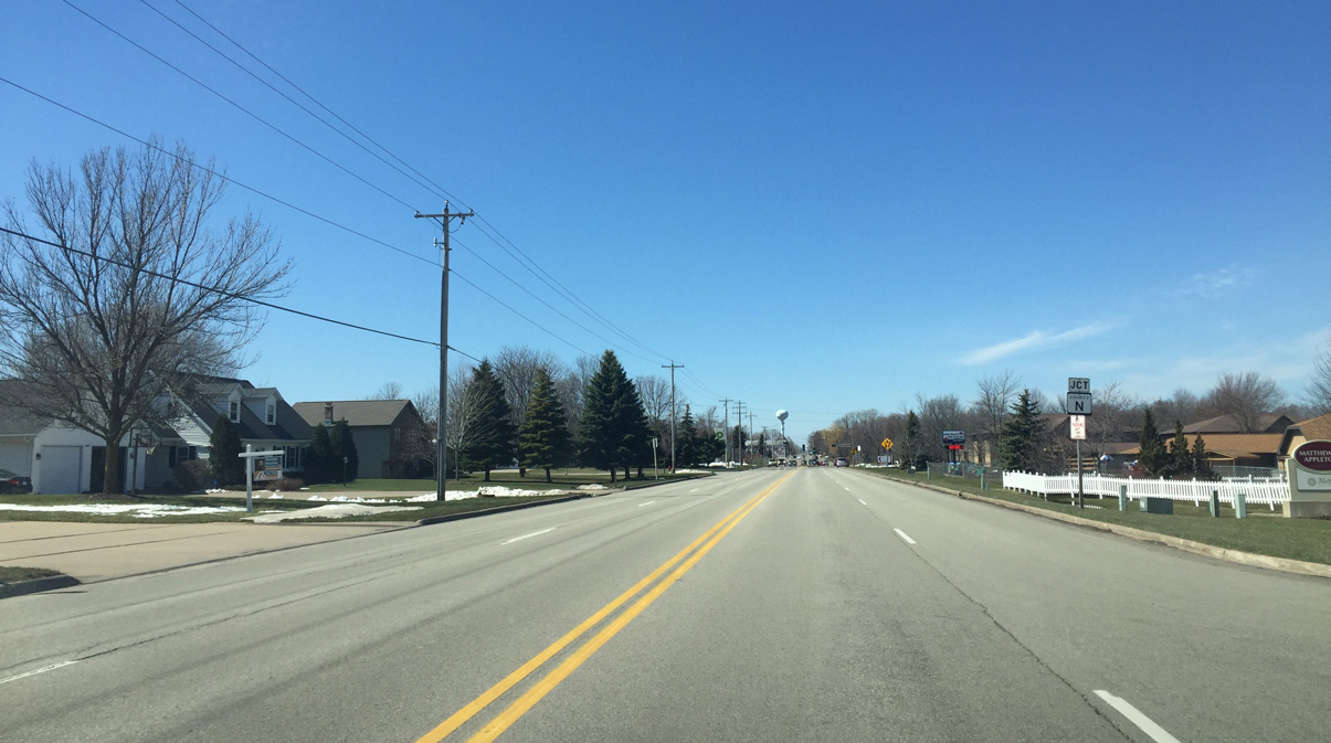
Entering Darboy along CTH-KK (Calumet Street) west. Darboy is a sewage district between the Village of Harrison and the Town of Buchanan. It is also a rapidly growing area of the Appleton metro area.
03/28/16
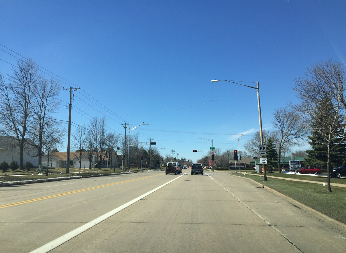
County KK becomes four lanes as Calumet Street approaches County N in Darboy.
03/28/16
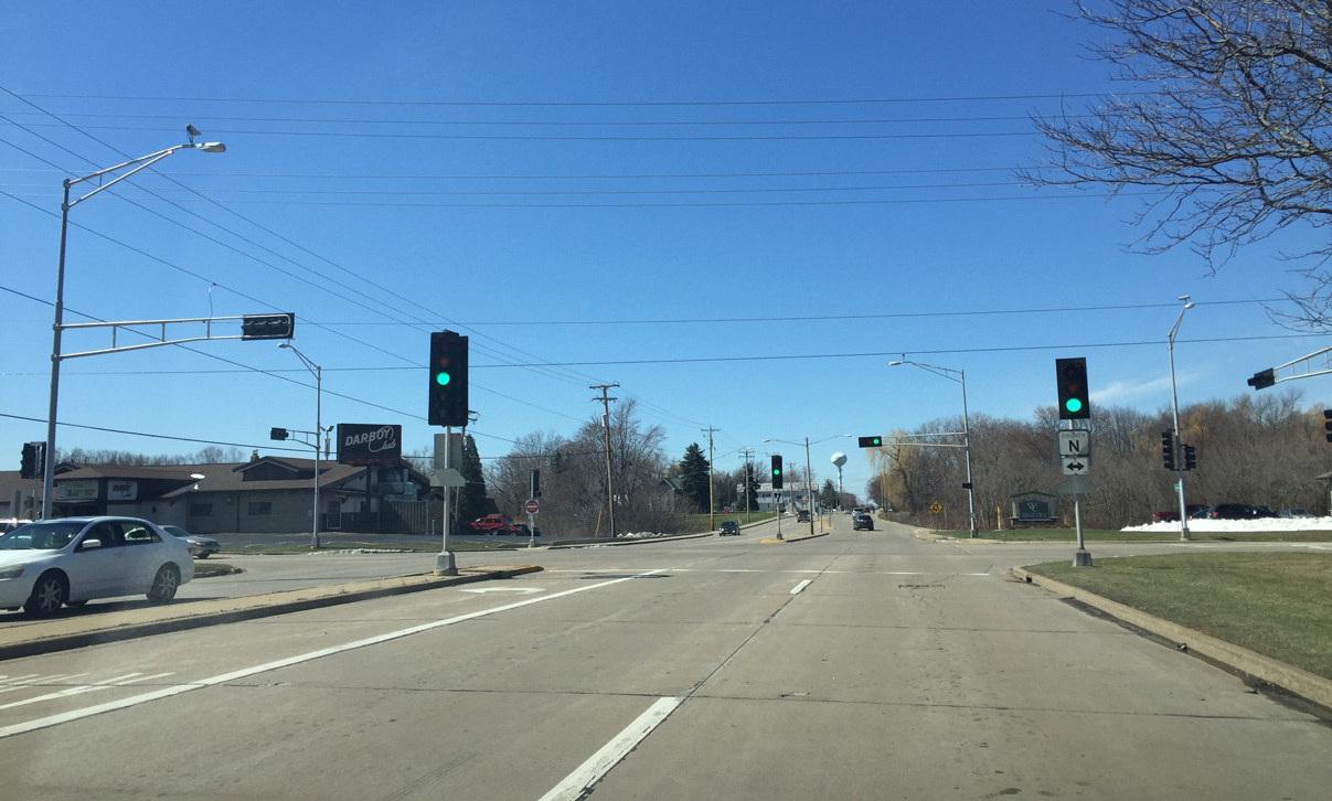
County N serves the eastern Fox Cities of Kimberly, Combined Locks, and Little Chute. The county trunk highway south connects Calumet Street with Harrison, U.S. 10 and Wis 114 west of Sherwood.
03/28/16

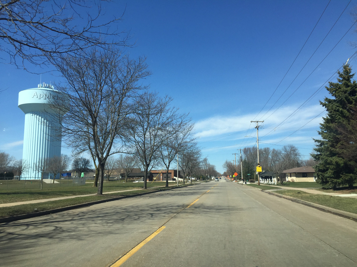
Continuing west on County KK (Calumet Street) by the Darboy water tower.
03/28/16
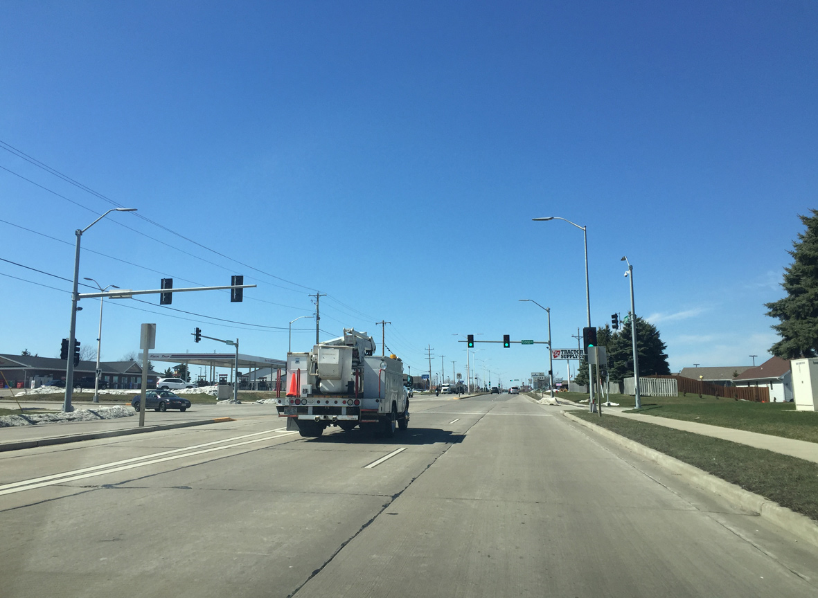
County KK (Calumet Street) expands into a divided arterial at the traffic light with Coop Road. Coop Road north serves a subdivision while south runs to Manitowoc Road and Woodland High School through Harrison.
03/28/16
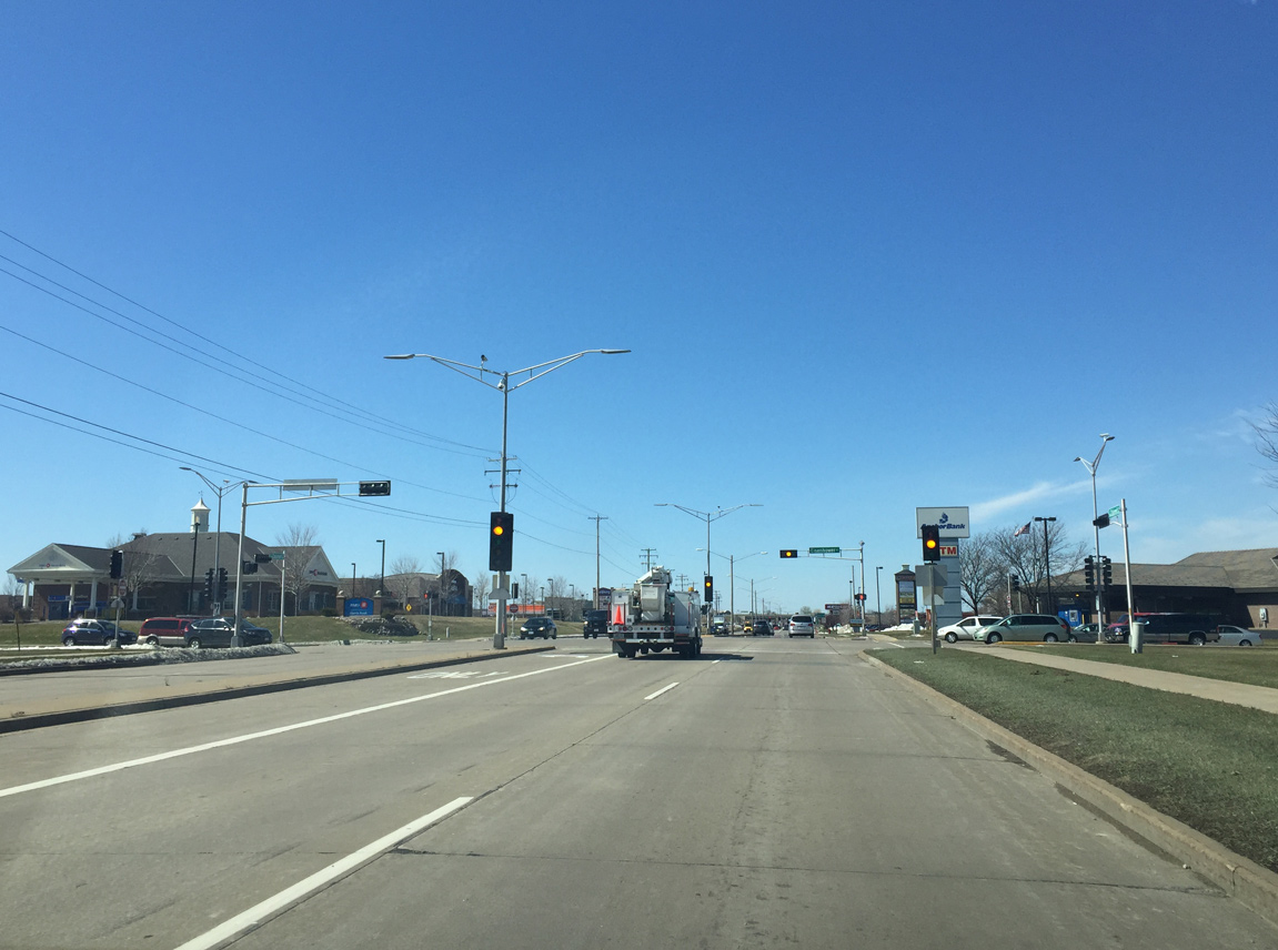
CTH-KK becomes more commercialized as it progresses westward. Eisenhower Drive intersects the arterial east of a number of big box stores.
03/28/16
Drivers formally reach the Appleton city limits along County KK (Calumet Street) west of Eisenhower Drive.
03/28/16
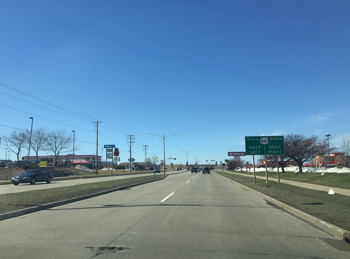
A diamond interchange joins Calumet Street with the Wis 441 (Tri County Freeway) just beyond forthcoming Stoney Brook Road.
03/28/16
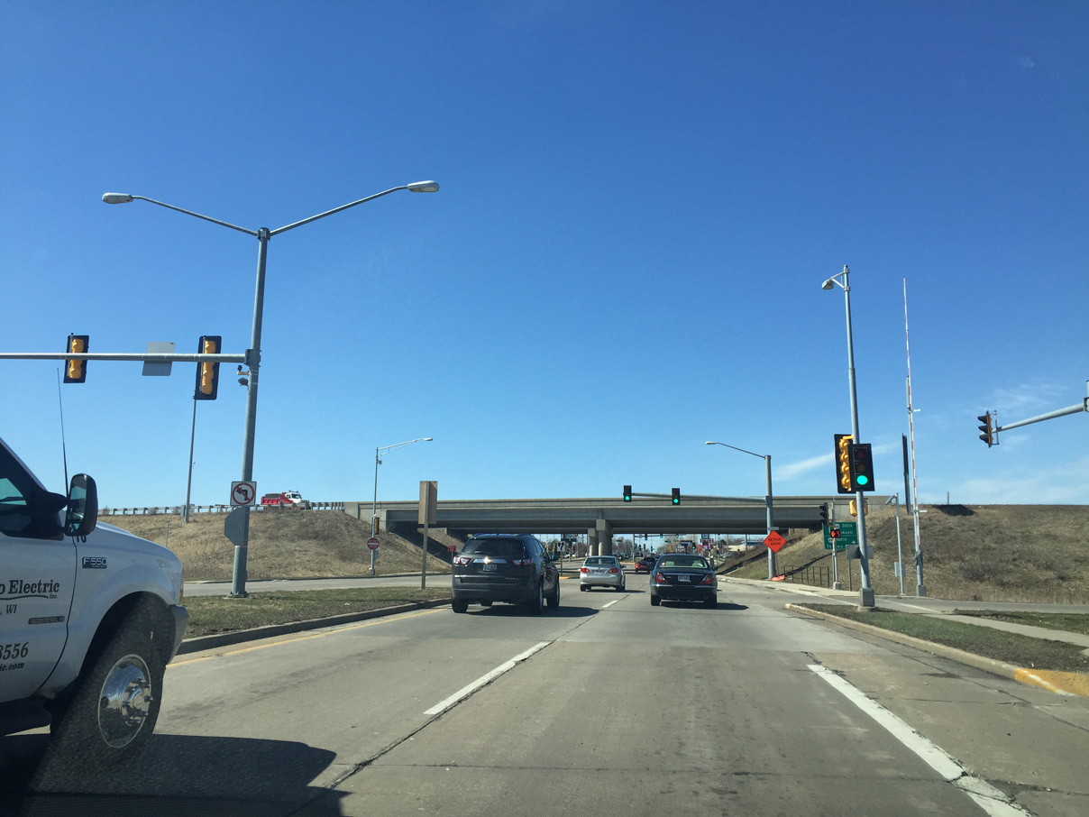
Westbound CTH-KK west the Wis 441 north ramps. Stop signs controlled this intersection when Wis 441 opened in 1993. Multiple interchange improvements have been done over the years since.
03/28/16
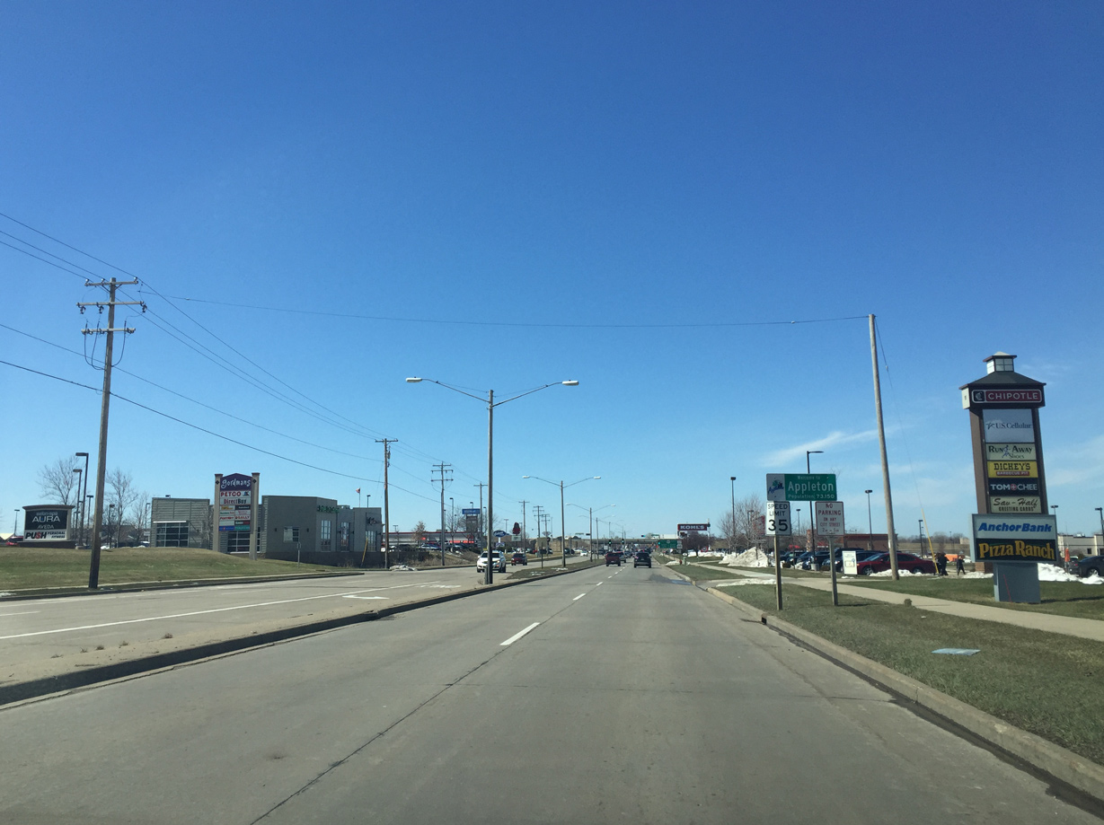
Additional big box stores and other retail line County KK to the immediate west of the Wis 441 freeway. Kensington Drive provides access to the commercial areas both north and south of Calumet Street.
03/28/16
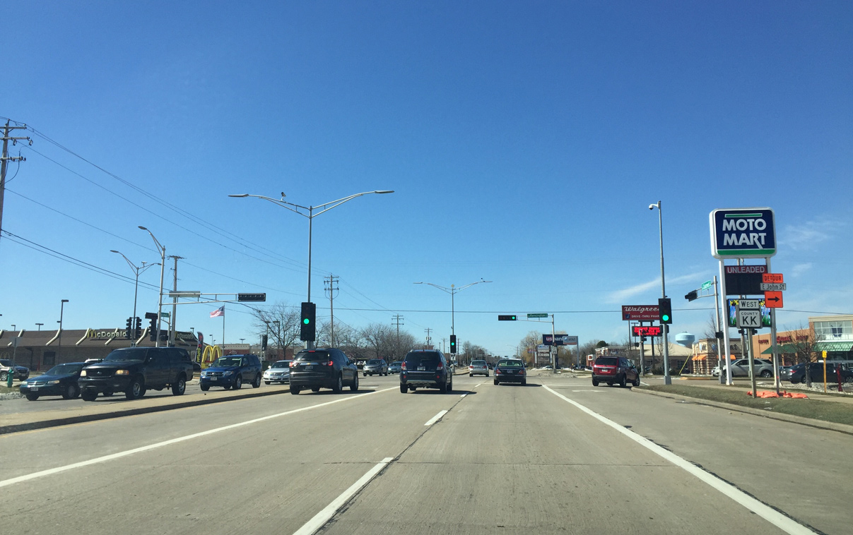
County KK turns northwest toward Downtown Appleton along John Street. The John Street alignment represents the only section of County KK that does not straddle a county line.
03/28/16
County KK turns right onto John Street and enters Outagamie County completely. Once John Street is reconstructed, it is proposed that the City of Appleton will take full control of the street afterwards. Calumet Street otherwise continues west as a locally maintained boulevard toward Wis 47 (Memorial Drive).
03/28/16
John Street angles northwest by Lions Park and Appleton East High School toward College Avenue. The road is closed ahead for reconstruction.
The end of County KK is unclear as there are no references past Calumet Street in either direction.
03/28/16
Photo Credits:
- Peter Johnson: 03/28/16
Page Updated Monday June 06, 2016.