
State Route 4 West - Churchmans Crossing to Newark

SR 4 advances west from SR 7 by an array of office parks toward Christiana Hospital.
12/24/25
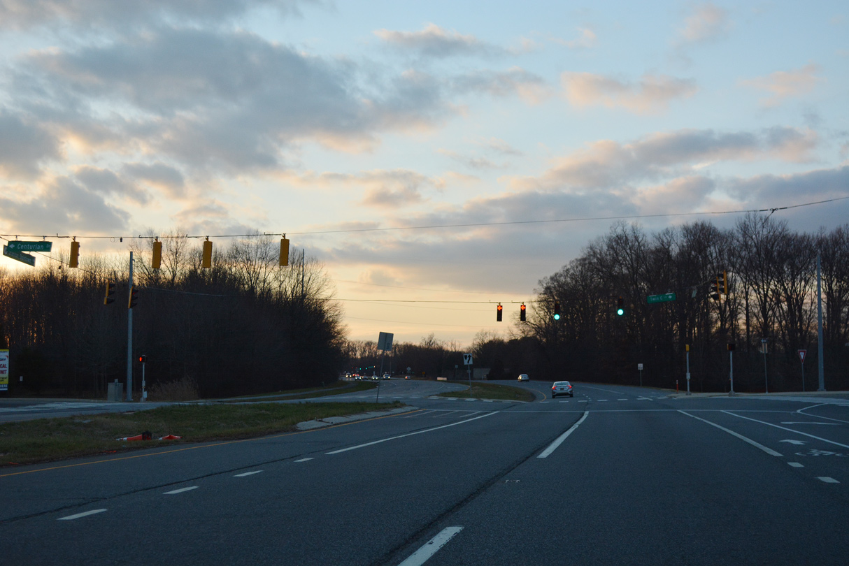
Twin C Lane links with a residential area along Stanton Ogletown Road (old SR 4) north from SR 4 at Centurian Drive.
12/24/25
The pre-1980s alignment of SR 4, Ogletown Stanton Road converges with SR 4 across from Old Churchmans Road.
12/24/25
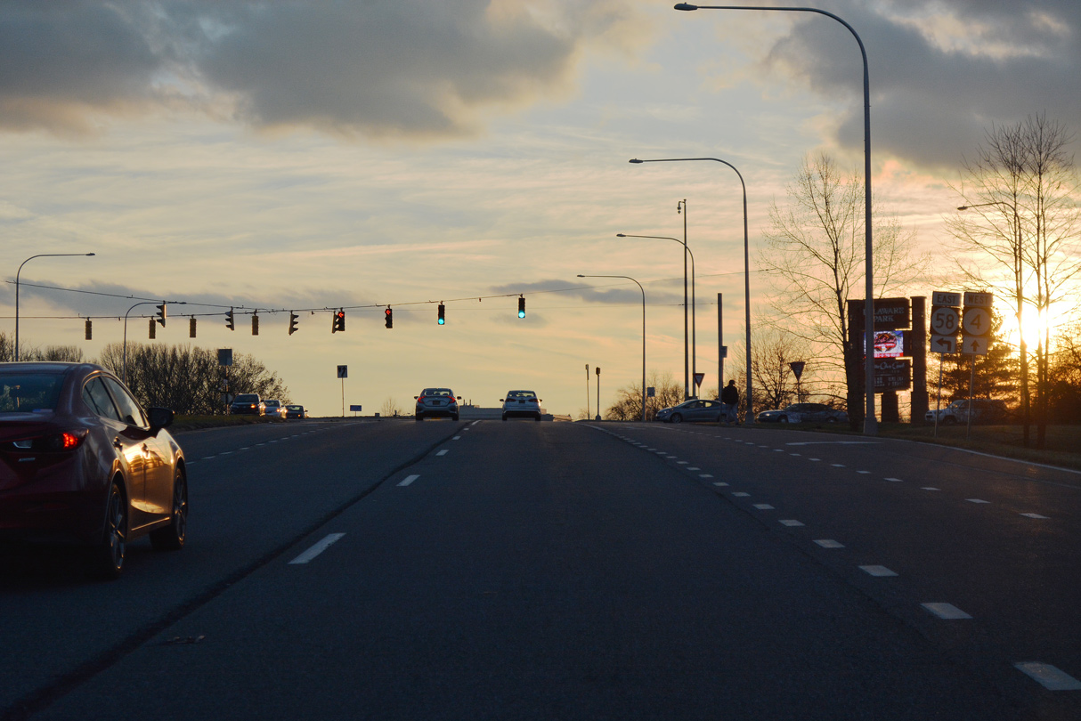
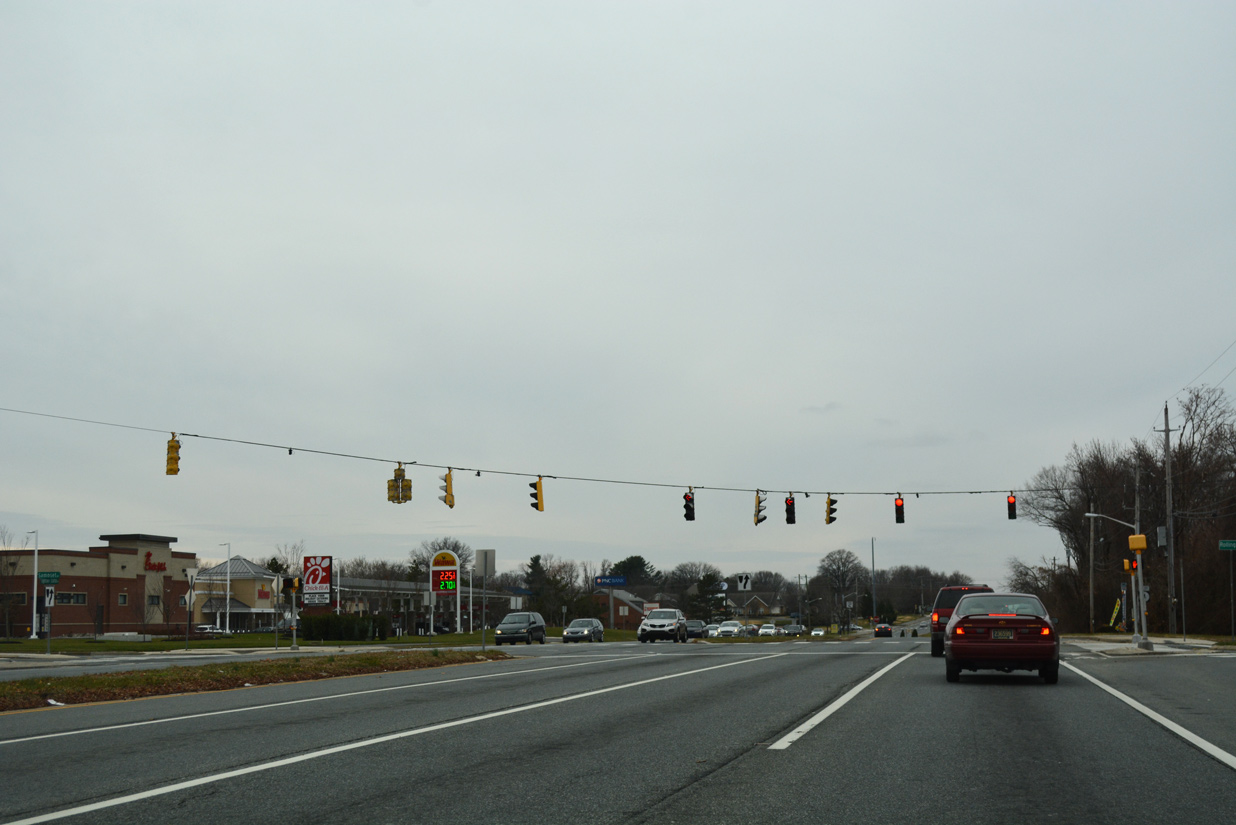
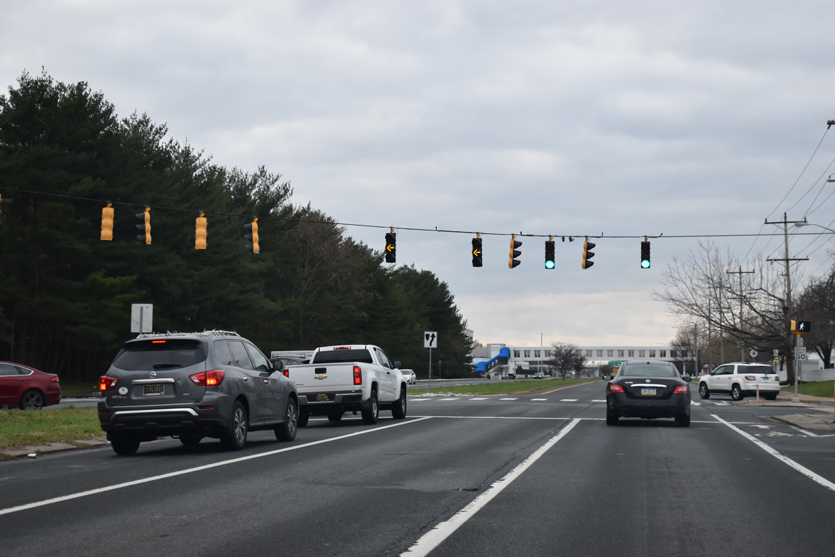
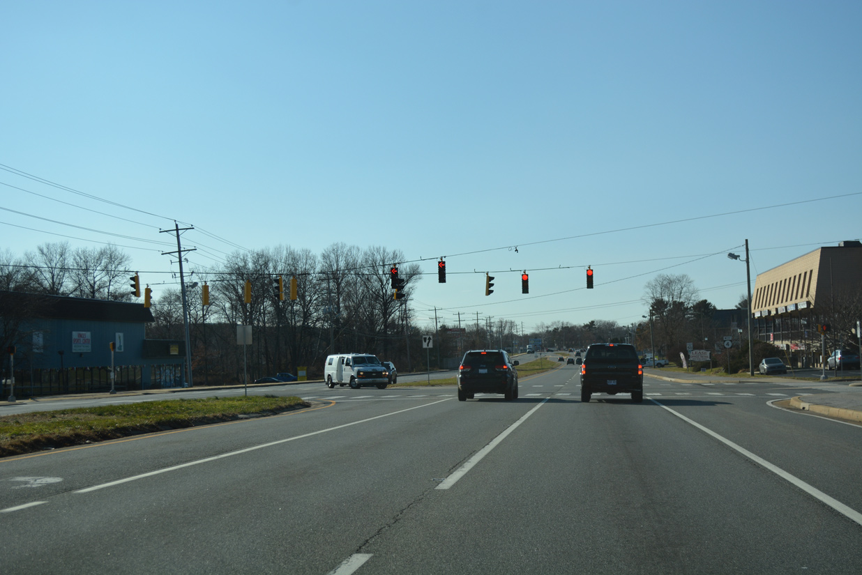
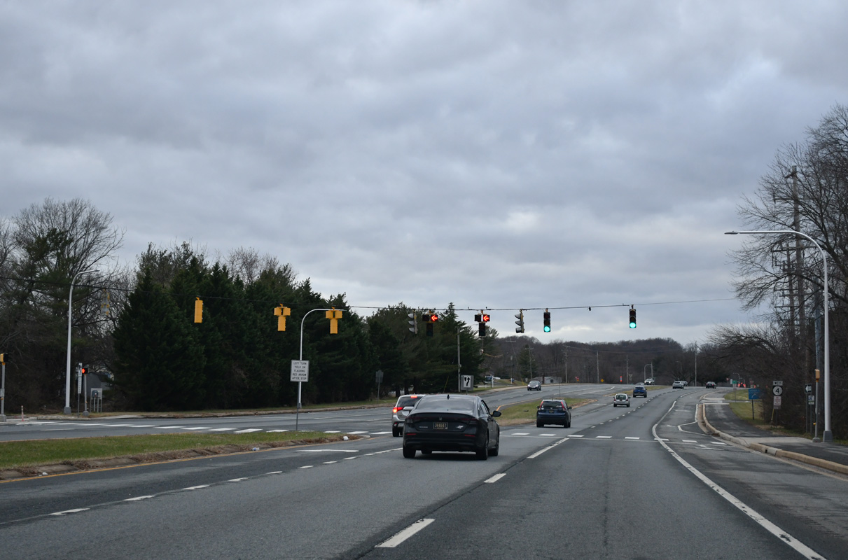
Continuing through Churchmans Crossing, SR 4 (Stanton Ogletown Road) next meets SR 58 (Churchmans Road) at Delaware Park Boulevard.
12/24/25
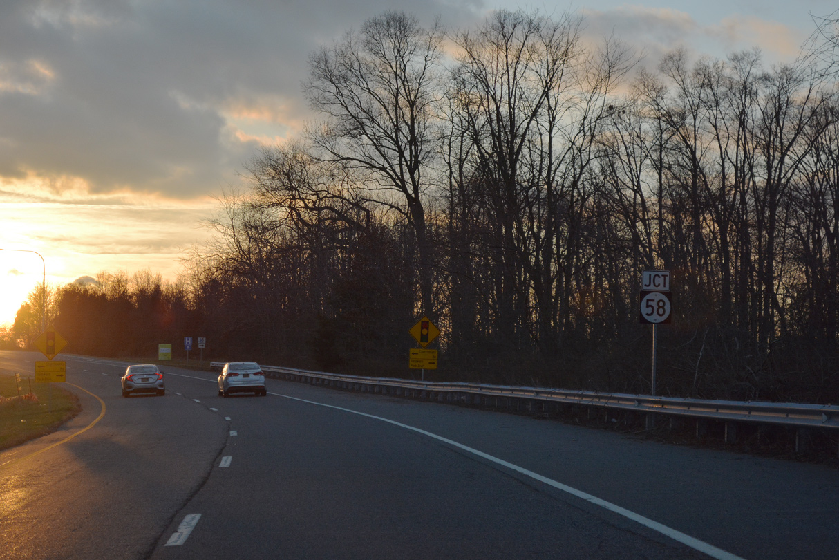
SR 58 constitutes a well traveled arterial route linking Christiana Hospital with I-95 and SR 1.
12/24/25
Delaware Route 58 (Churchmans Road) runs 3.86 miles east from SR 4 to SR 273 near Hares Corner.
12/24/25
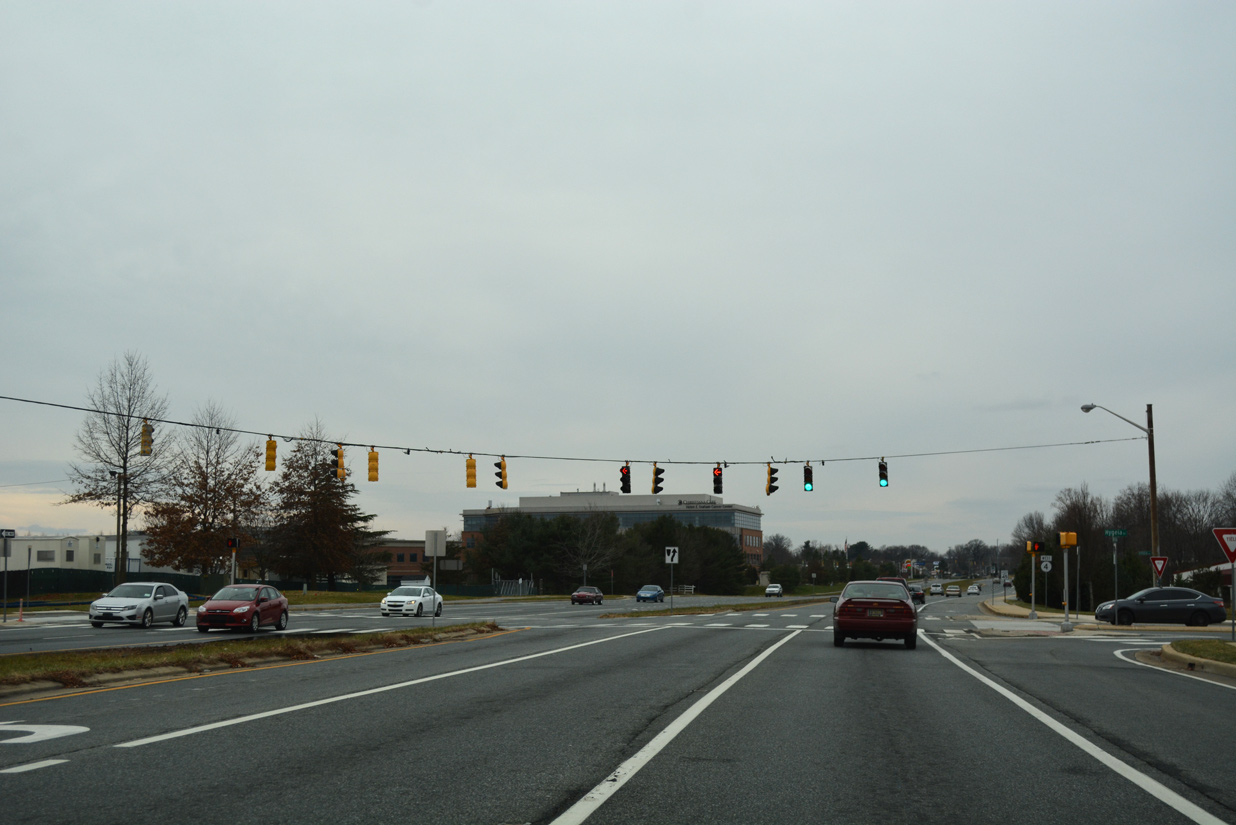
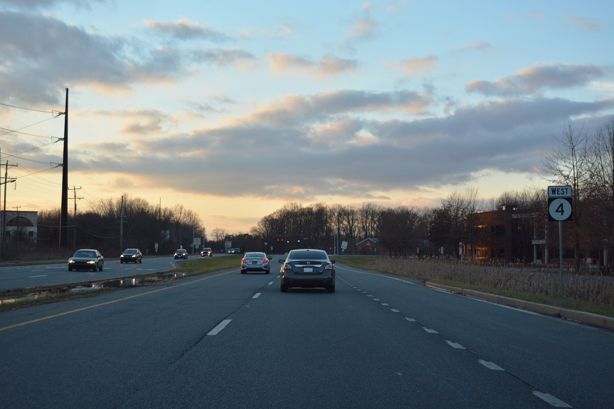
Hygeia Drive ties into SR 4 from Omega Professional Center across from the north entrance to Christiana Hospital.
12/24/25
Reassurance marker posted west of Hygeia Drive. SR 4 continues by Christiana Hospital to the Rutherford subdivision and Westgate Corporate Center.
12/24/25
Commuter traffic joins Stanton Ogletown Road from Samoset Drive, the lone entrance to Westgate Corporate Center.
12/24/25
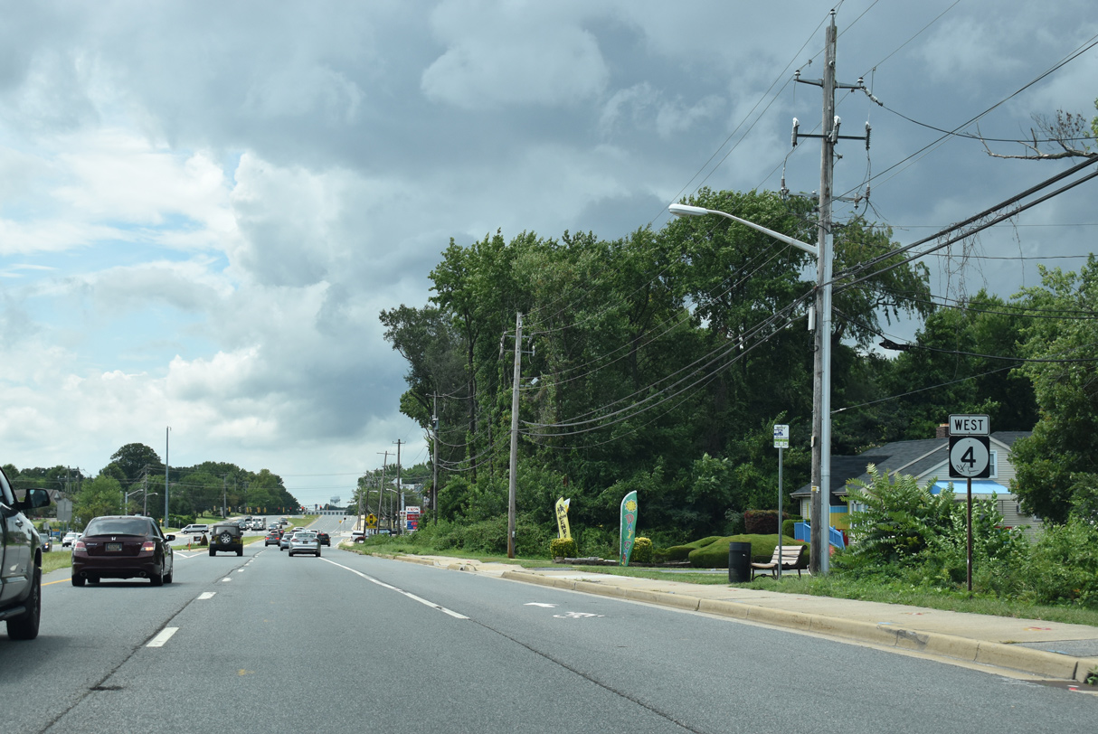
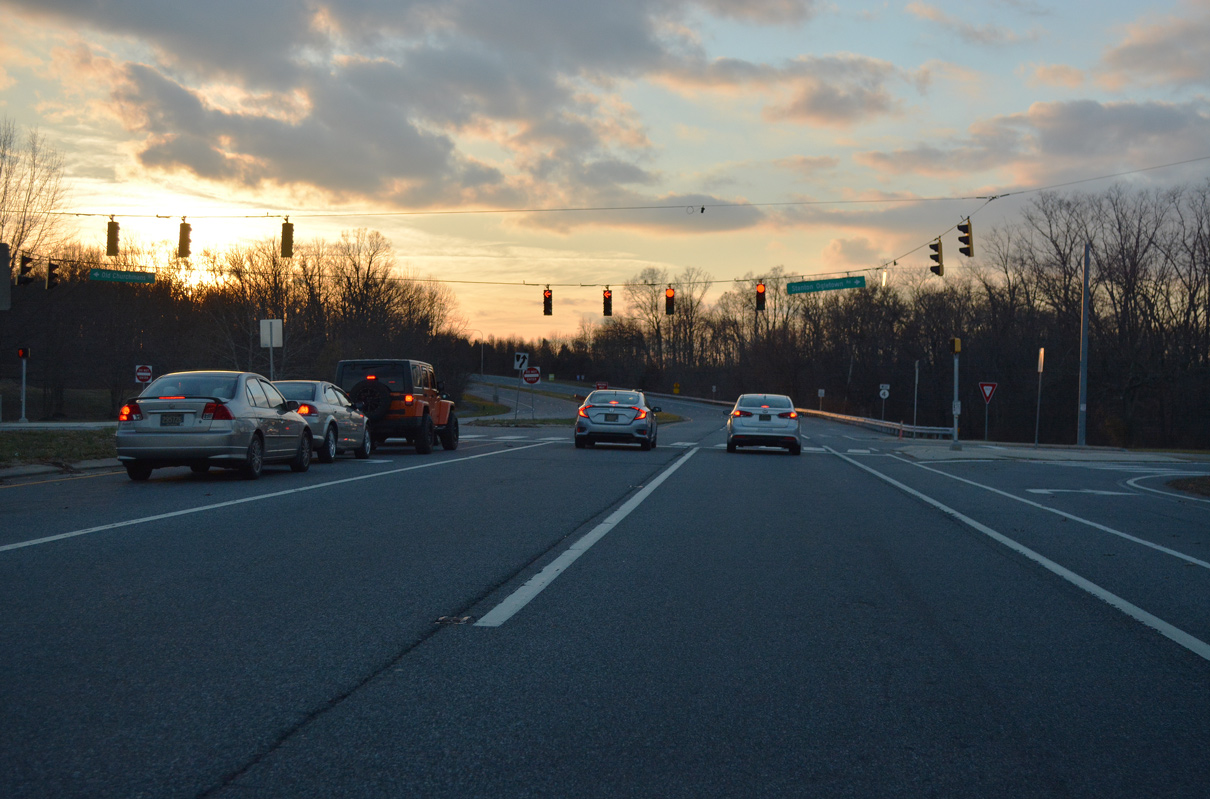
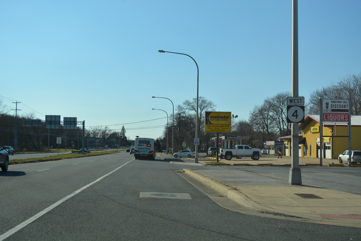
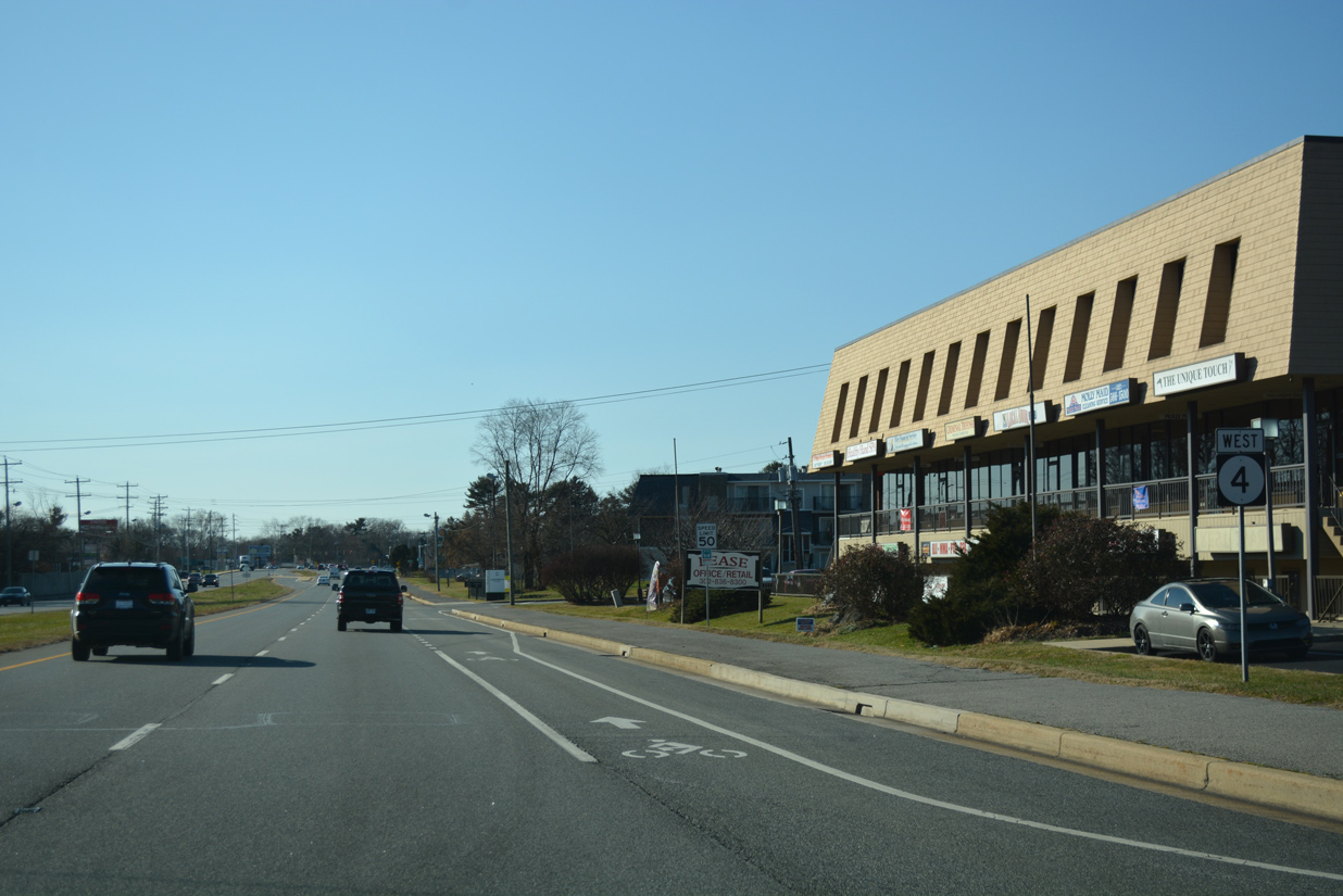
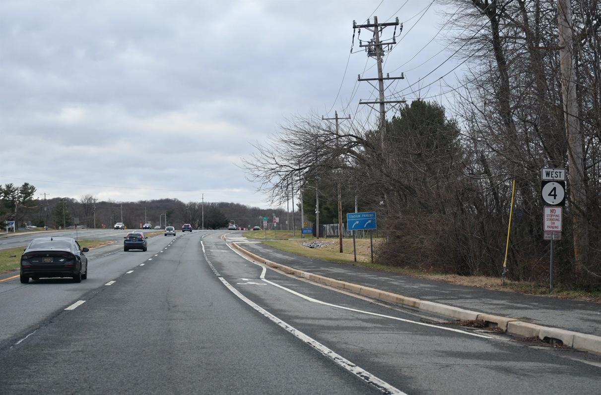
SR 4 (Stanton Ogletown Road) advances west to the commercialized intersection with Harmony Road.
12/24/25
Harmony Road links SR 4 with SR 273 (Christiana Road) at I-95 through the Hillside Heights and Tanglewood communities. Leading north across AMTRAK's Northeast Corridor, Harmony Road comprises a controlled access two lane roadway to SR 2 (Capitol Trail).
12/24/25
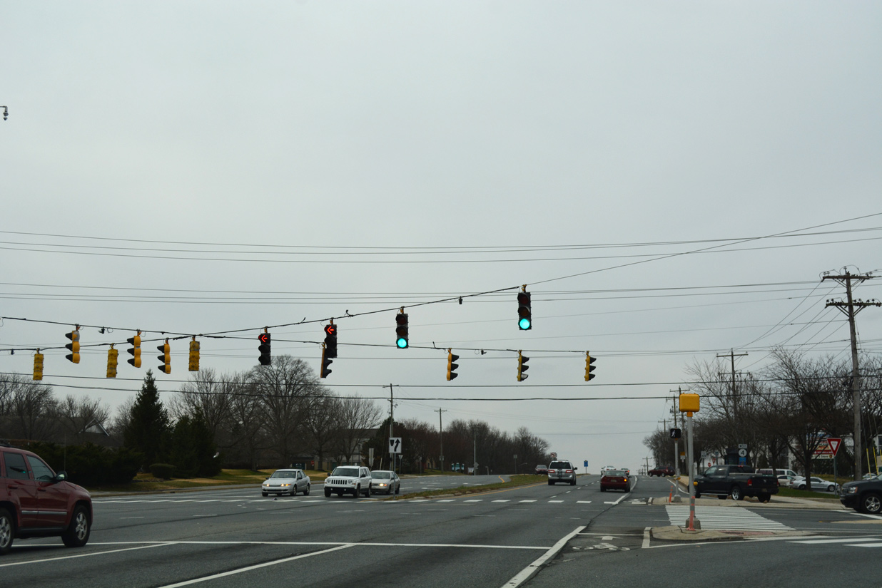
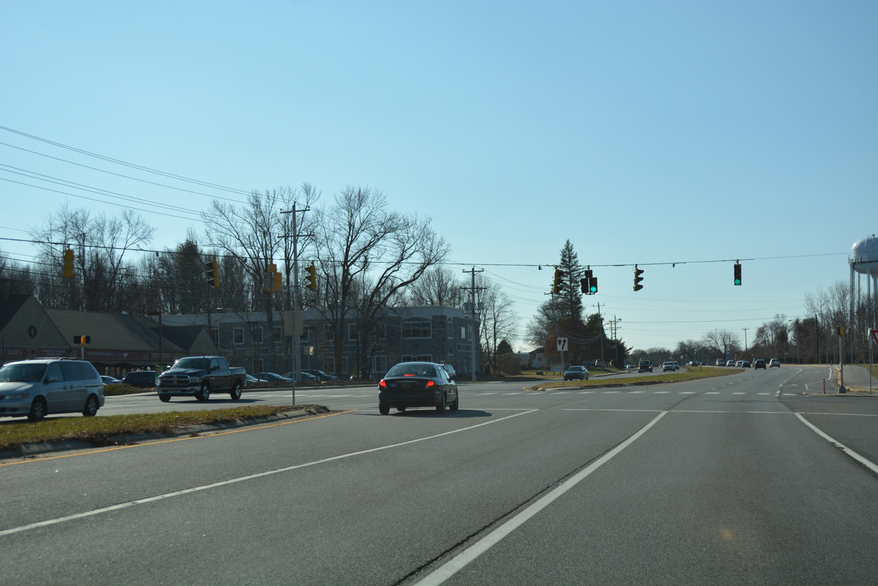
Leading west from Harmony Road, SR 4 passes south of the Harmony Woods community to Ogletown.
12/22/20
Prides Crossing arcs west from Allandale Drive to connect SR 4 with Red Mill Road north. Red Mill Road formerly intersected the state route directly, but was severed due to construction of the interchange with SR 273 in 1997.
12/22/20
A pedestrian bridge spans SR 4 west of this reassurance marker at Prides Crossing. The state route passes by the former MBNA complex here.
12/22/20
A parclo interchange joins SR 4 (Ogletown Road) with SR 273 beyond the former MBNA complex.
12/22/20
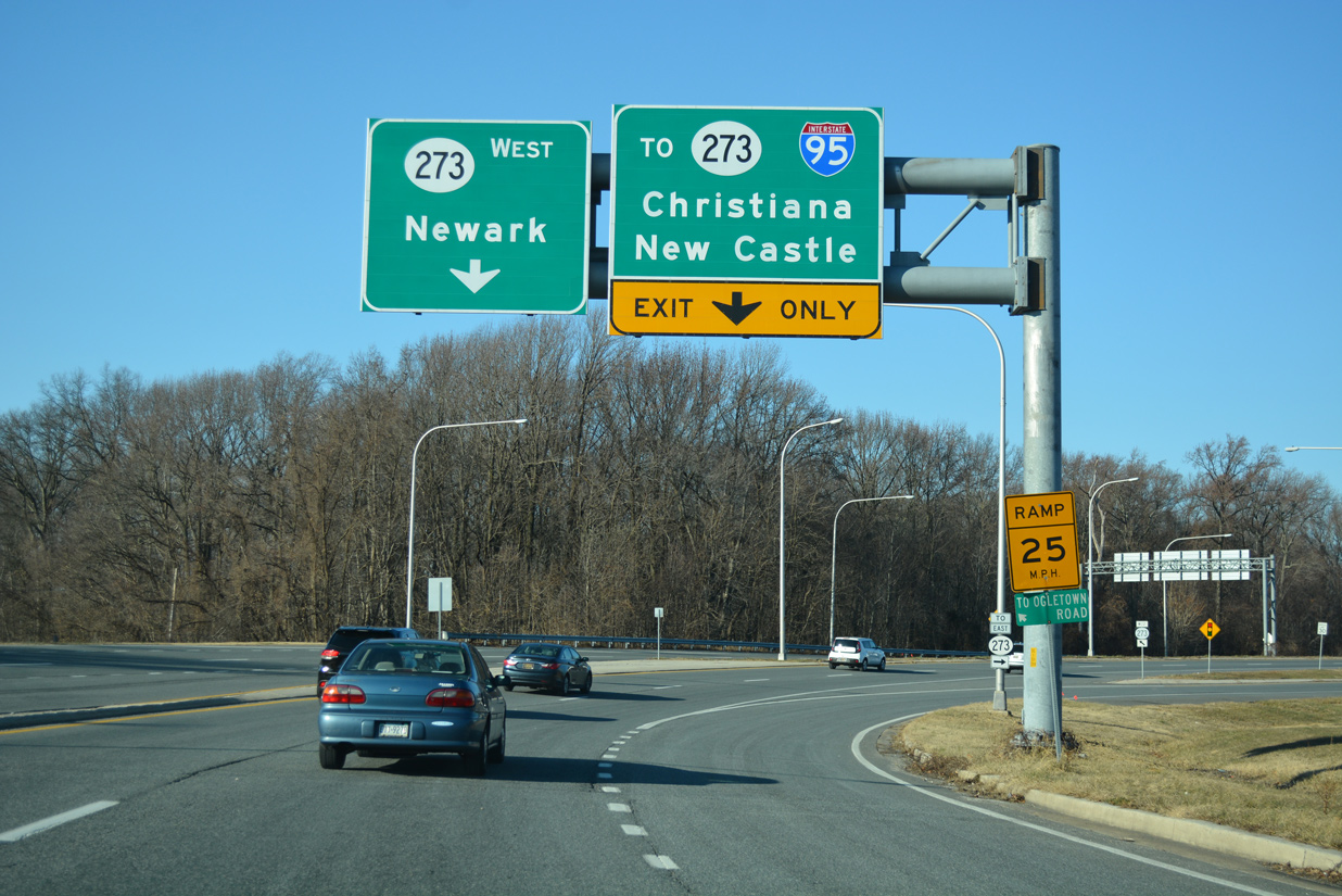
A loop ramp takes traffic from SR 273 west onto SR 4 at Christiana Road ahead. Completion of the new SR 273 alignment in 1997 bypassed Ogletown Road, removing a short and congested overlap with SR 4.
12/22/20
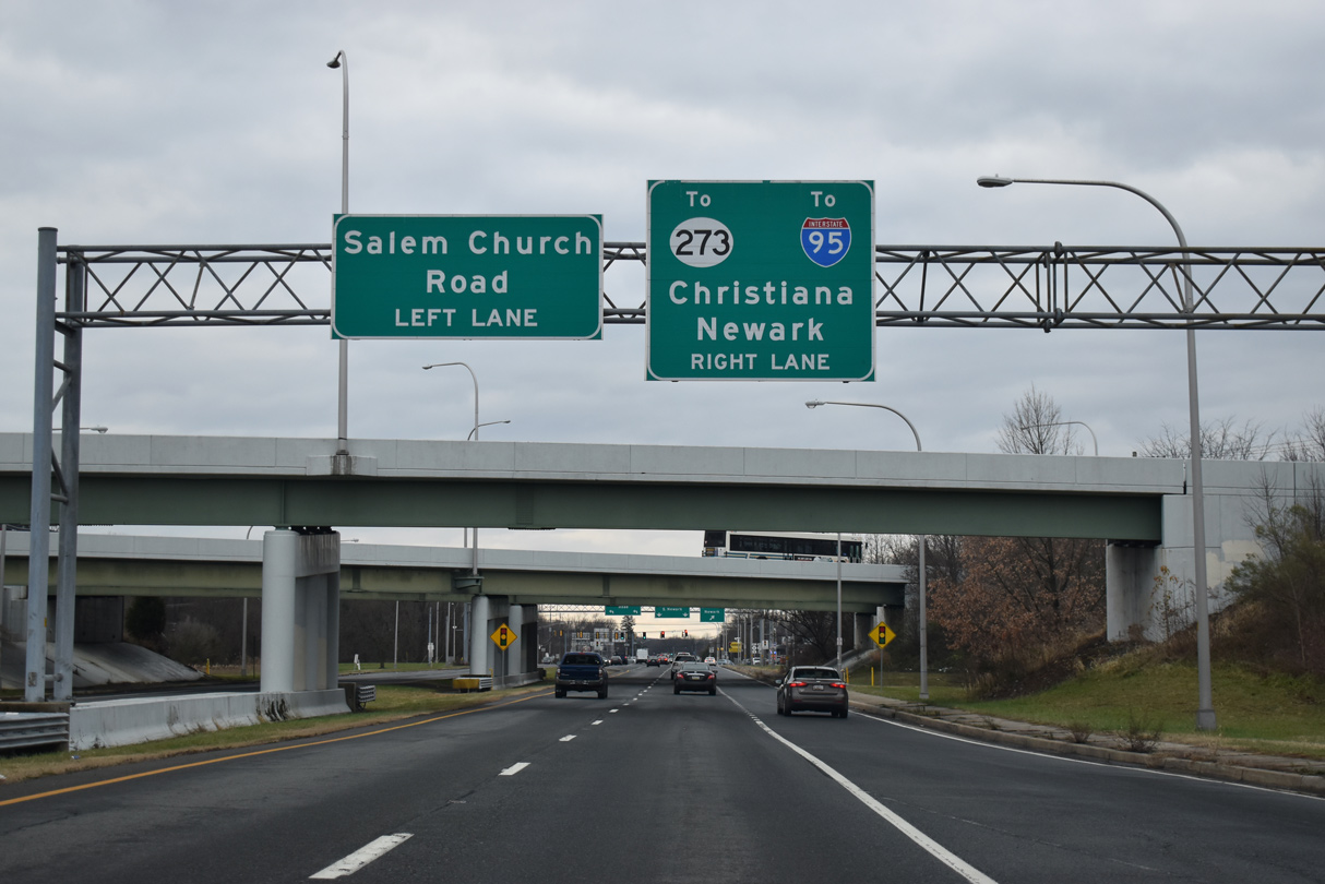
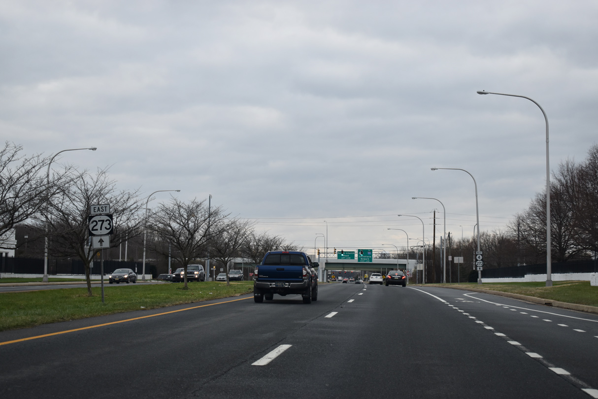
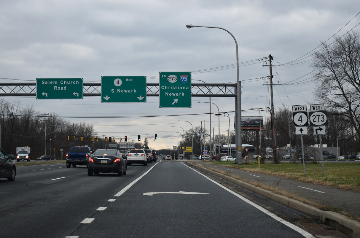
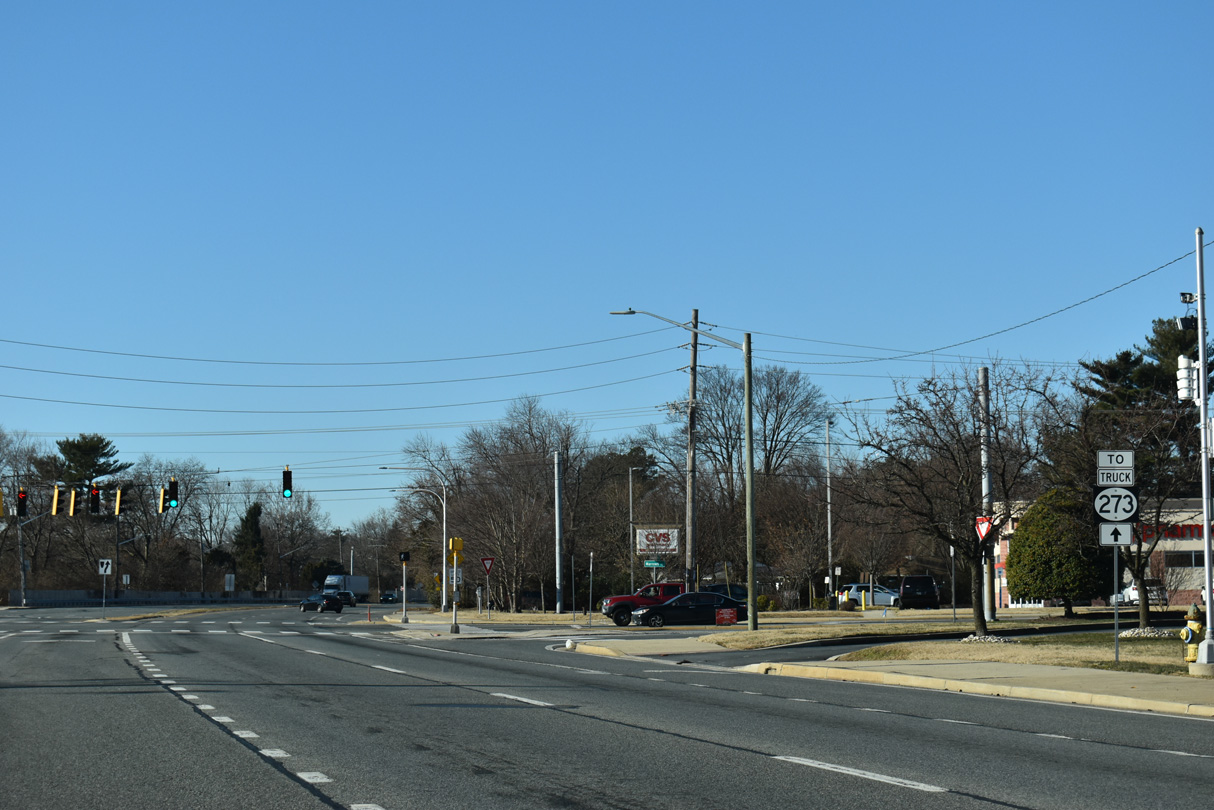
SR 4 (Ogletown Road) west next intersects Salem Church Road south and ramps to SR 273. SR 273 constitutes a multi state route with MD 273 west from Newark to Rising Sun, Maryland and east to Christiana and New Castle.
12/22/25
Salem Church Road extends south from SR 273 and Ogletown Road to Old Baltimore Pike and suburban areas along the U.S. 40 corridor.
12/22/20
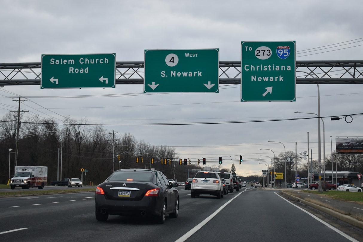
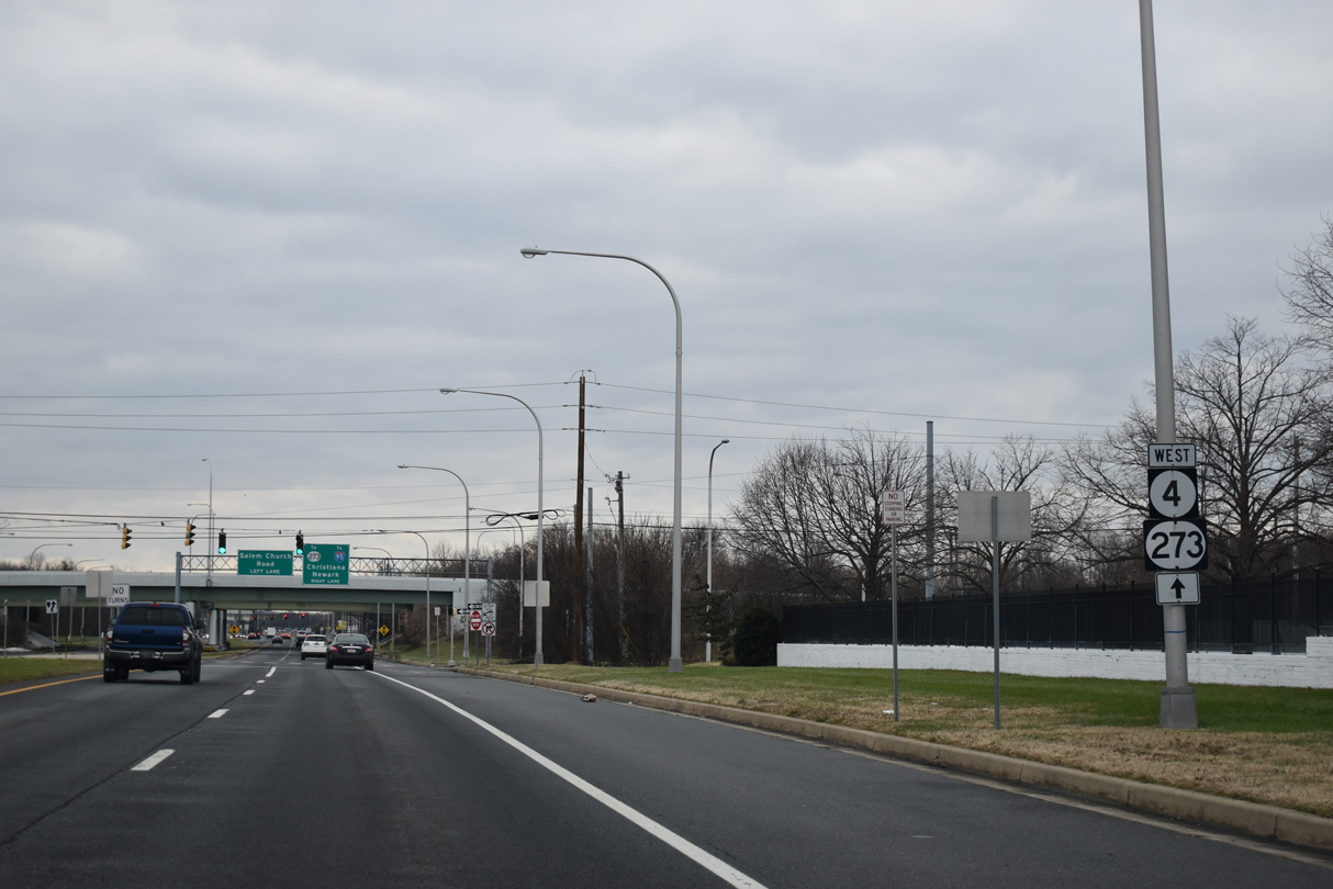
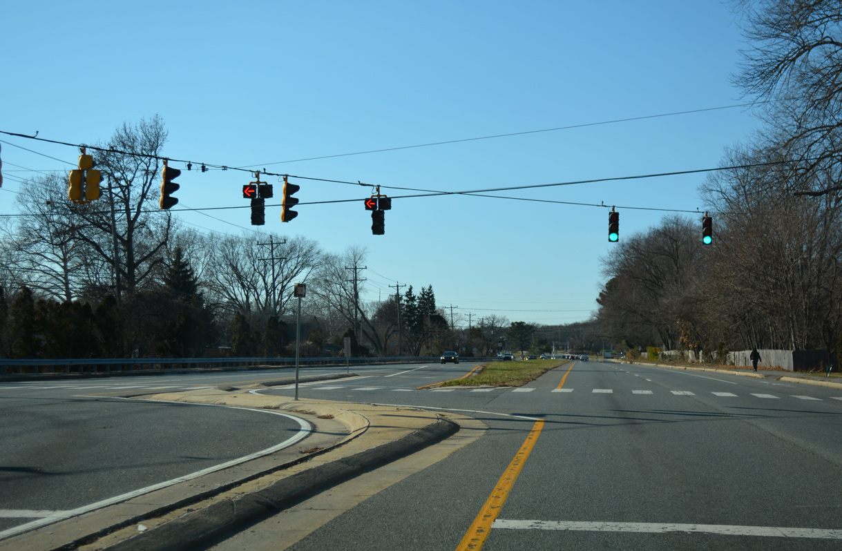
Motorists turning right split into a ramp for SR 273 (Christiana Road) east to Interstate 95 and a signalized left turn for SR 273 west toward Downtown Newark.
12/22/25
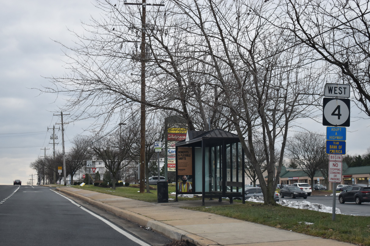
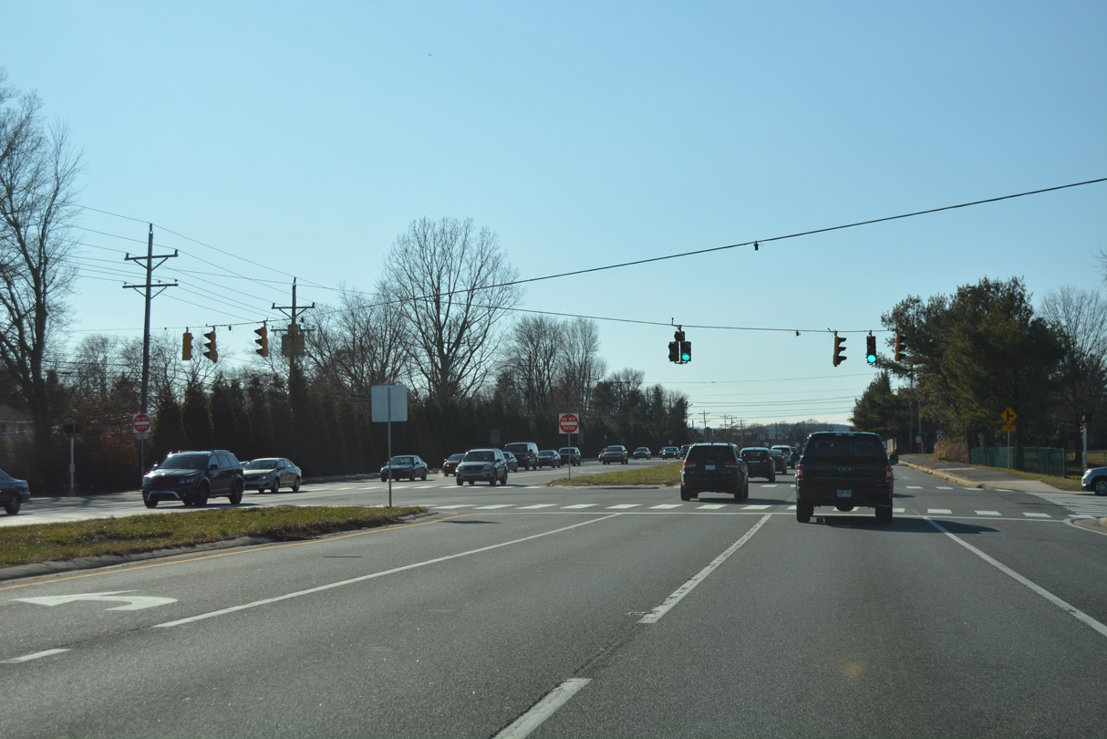
West from Salem Church Road, SR 4 follows Chestnut Hill Road.
12/22/25
Augusta Drive arcs north through Chestnut Hills Estates to Ogletown Road (old SR 273) from the succeeding westbound signal on SR 4.
12/22/25
Chestnut Hill Road intersects Brennen Drive north to George V. Kirk Middle School and Pearson Drive south at the Todd Estates community.
12/22/25

Old Newark Road provides a local through route north from SR 4 (Chestnut Hill Road) around the Brookside Park community to Marrows Road.
12/22/25
A signalized U-turn links Old Newark Road south with SR 4 (Chestnut Hill Road) east to Ogletown.
12/22/25
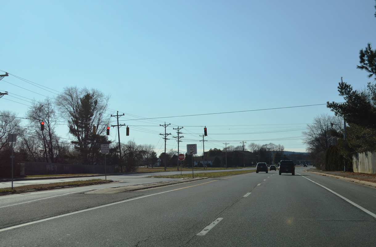
Gender Road spurs south from a stoplight with Chestnut Hill Road to the Breezewood subdivision and Gauger-Cobbs Middle School.
12/22/25
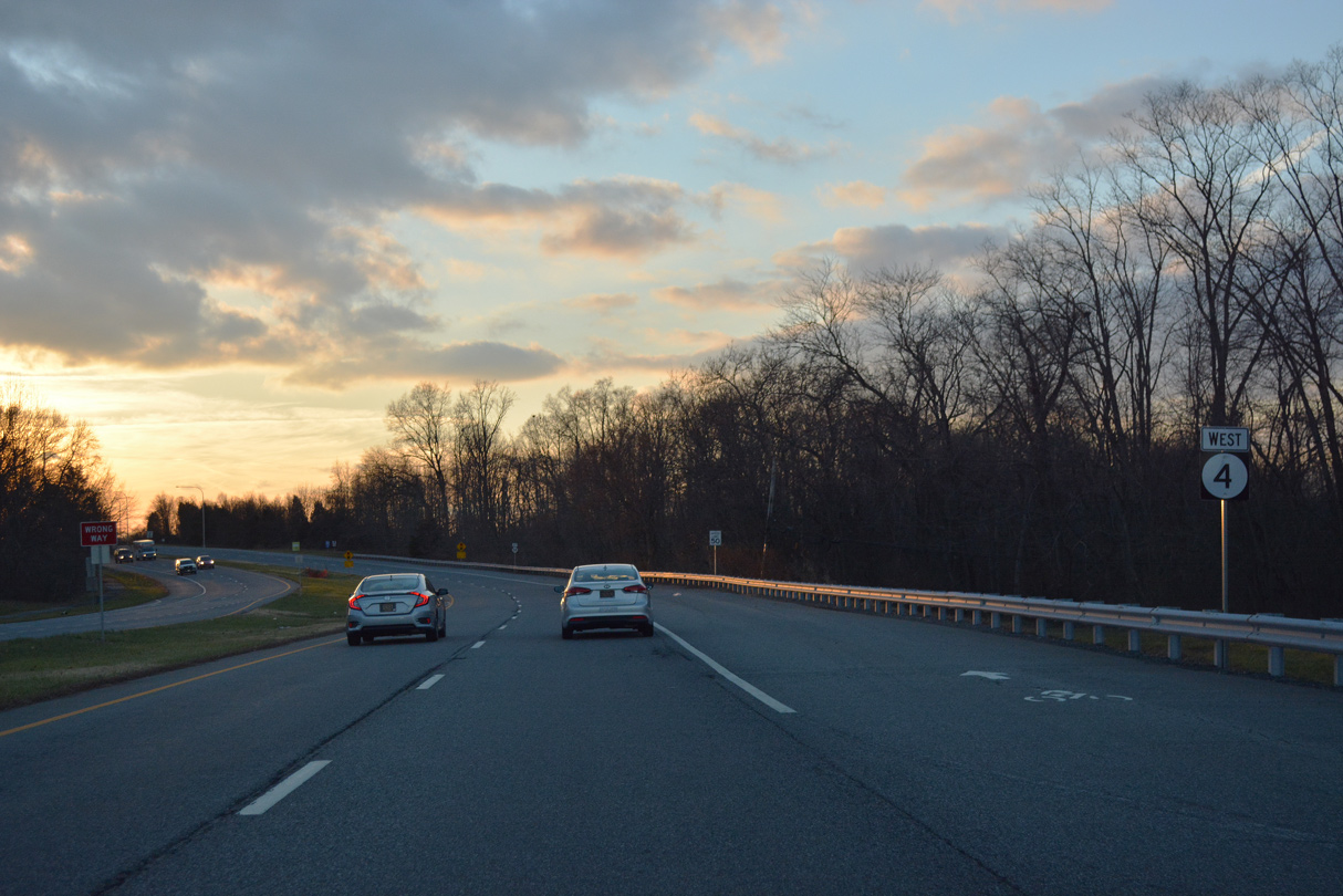
A reassurance marker for SR 4 west stands after Gender Road.
12/26/17
A SR 273 Truck trailblazer precedes Marrows Road. This may be carbon copied signage from when SR 273 passed through the low-clearance Avon Underpass at Ogletown until 1997.
12/22/25

Entering the commercialized intersection with Marrows Road north to Newark and Marrows Road Extension south to Chestnut Hill Plaza shopping center and the Scottfield subdivision.
12/22/25
A J-turn intersection connections SR 4 (Chestnut Hill Road) with North and South Kingston Road at the Brookside Park community.
12/26/17
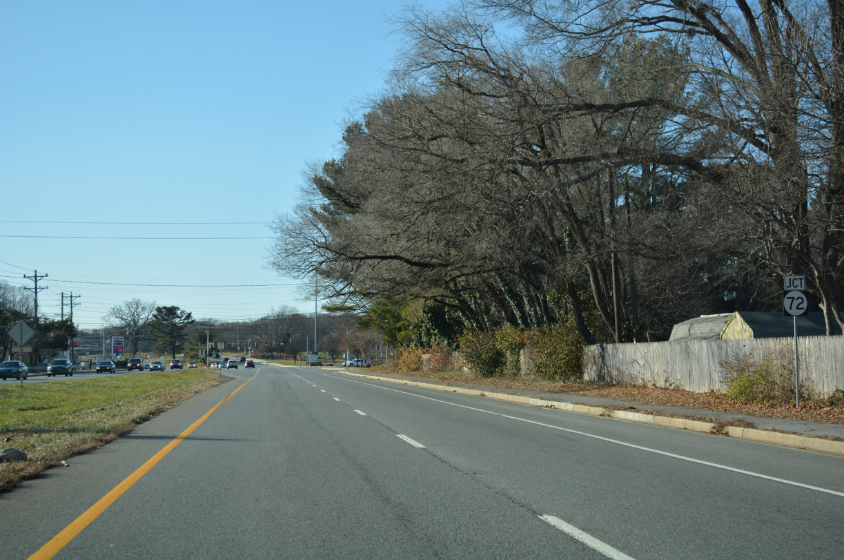
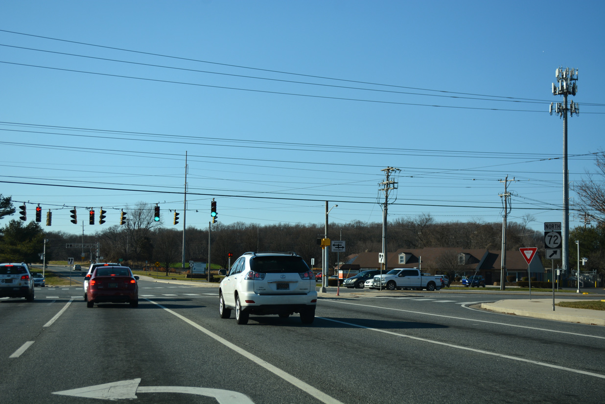
Continuing west through Brookside Park, SR 4 (Chestnut Hill Road) advances to SR 72 (S Chapel Street). Prior to Fall 2013, SR 72 north doubled as SR 2 to SR 273 (Ogletown Road).
12/26/17
SR 72 runs north to Library Avenue through east Newark. The state route combines with SR 2 along Capitol Trail as part of its route north to the Upper Pike Creek Valley.
12/26/17
Confirming marker for SR 4 posted west of SR 72 (S Chapel Street).
12/29/24

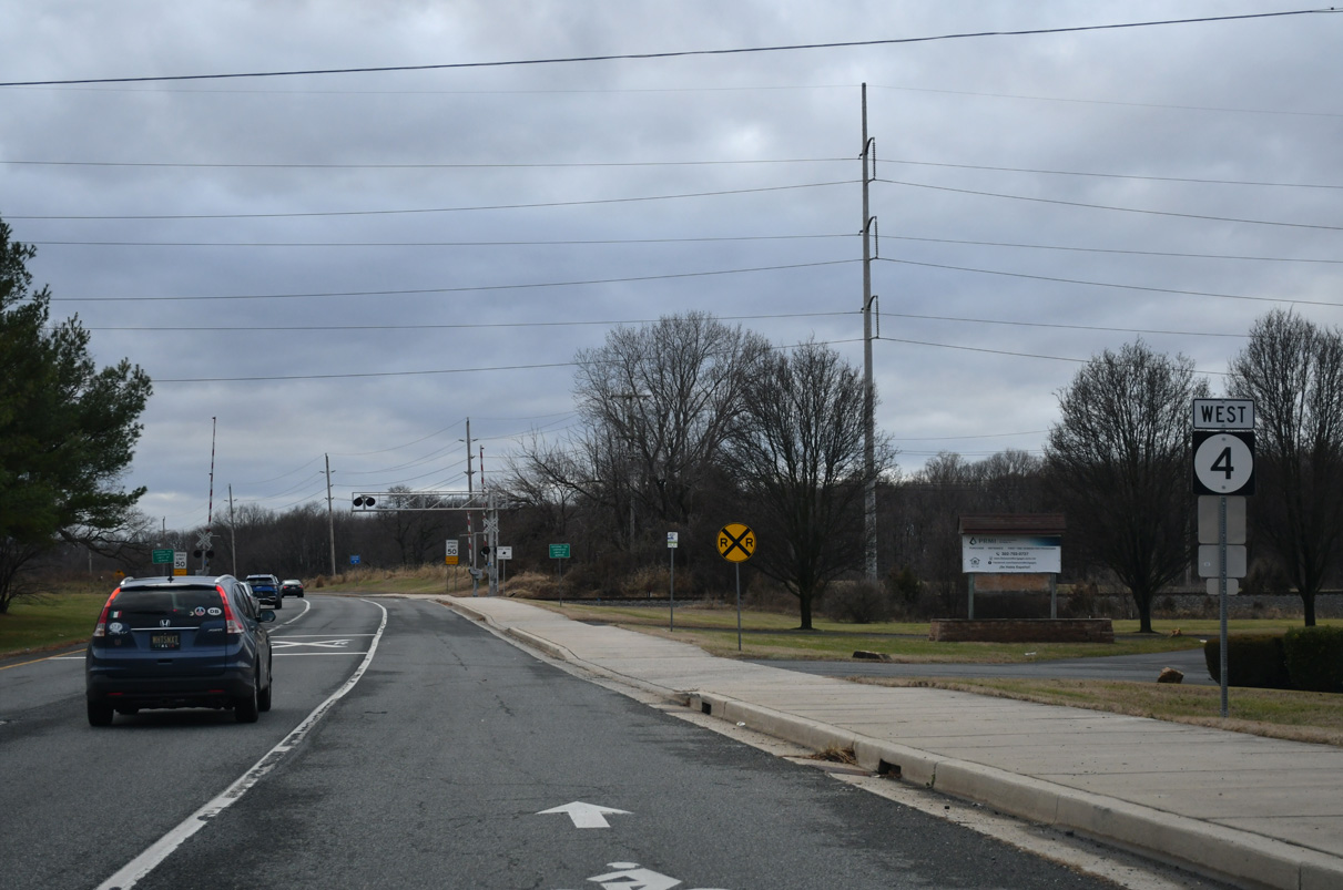
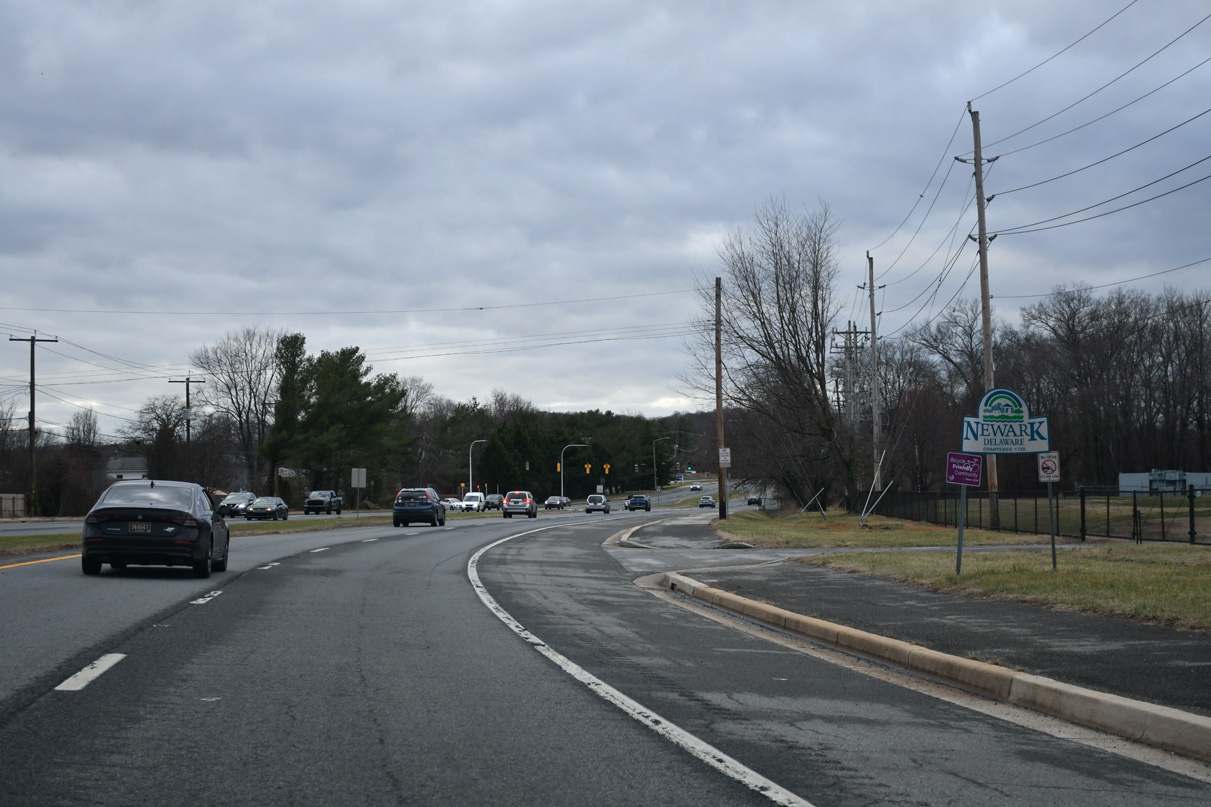
Chestnut Hill Road enters the city of Newark just ahead of the at-grade crossing with a Norfolk Southern Railroad line.
12/29/24
SR 4 straddles the Newark city line west from the NS Railroad along the Robscott Manor community.
12/29/24
Robscott Turn links Chestnut Hill Road with Robscott Manor to the south. Undeveloped land owned by the University of Delaware spreads to the north.
12/29/24
SR 4 partitions with Old Chestnut Hill Road beyond upcoming Sincock Lane north to the University of Delaware (UD) sports complex.
12/29/24
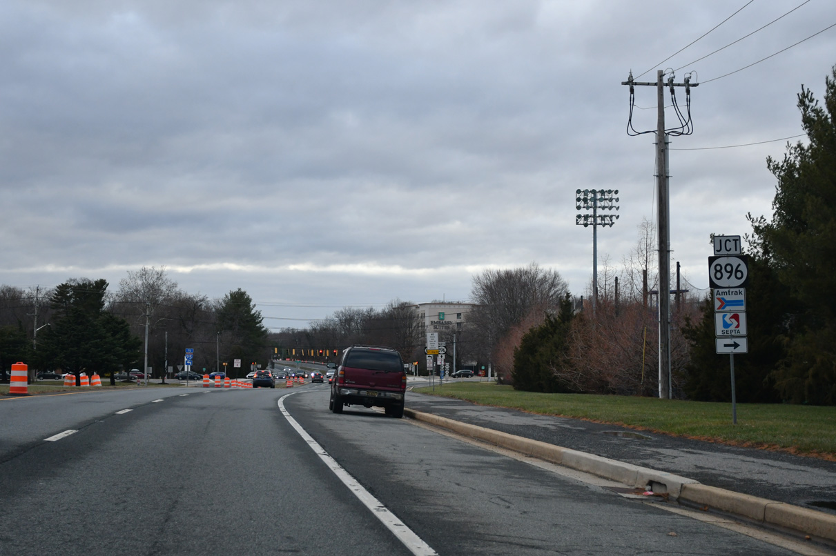
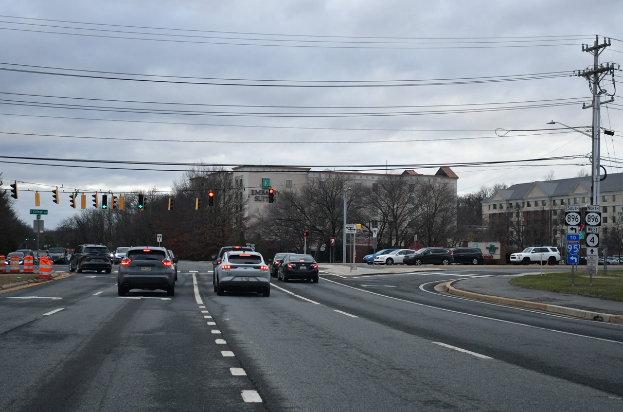
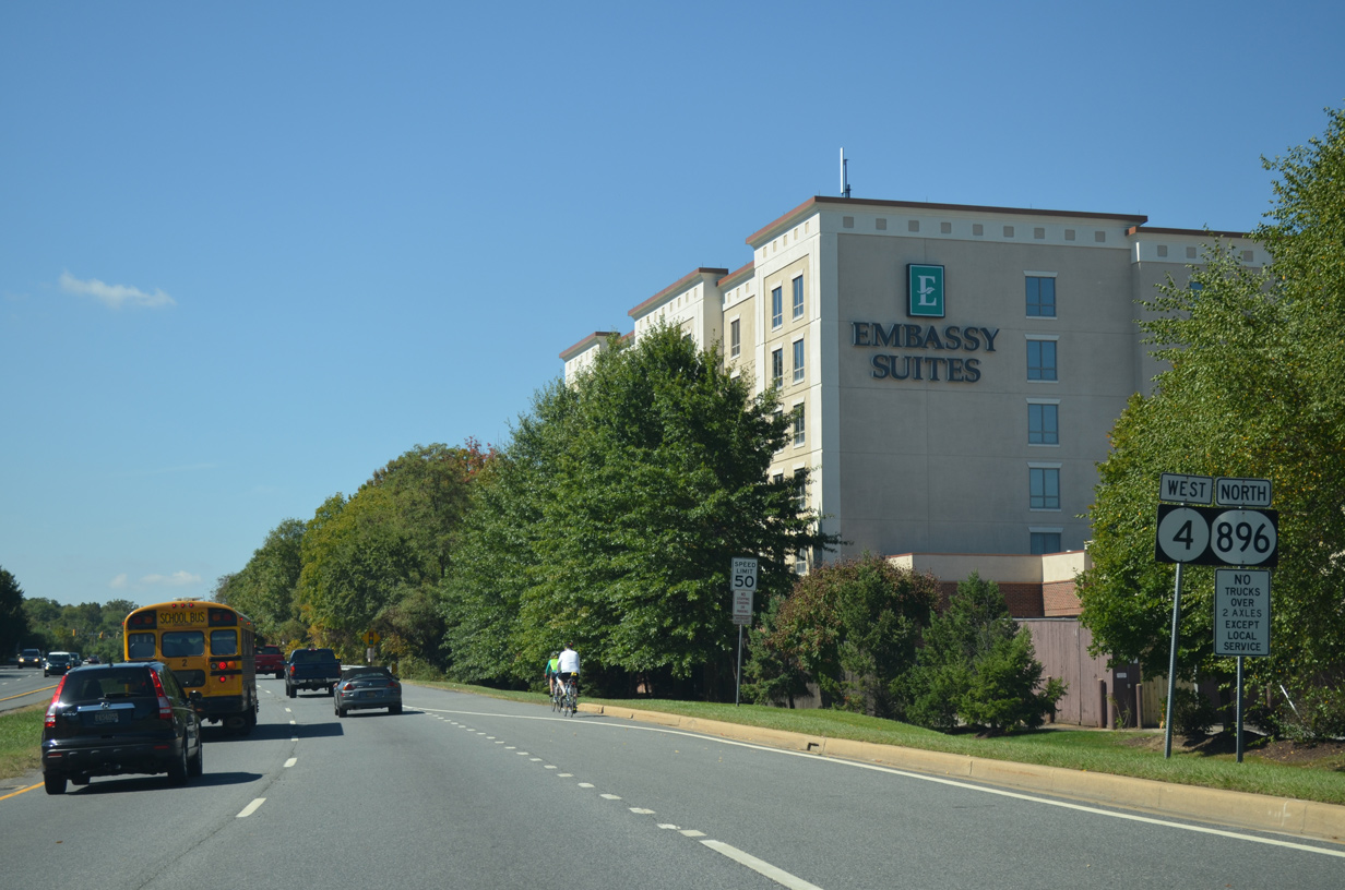
Bob Carpenter Center, home of UD Blue Hens Basketball, lies northeast of the intersection joining SR 4 (Chestnut Hill Road) with SR 896 south and S College Avenue north.
12/29/24
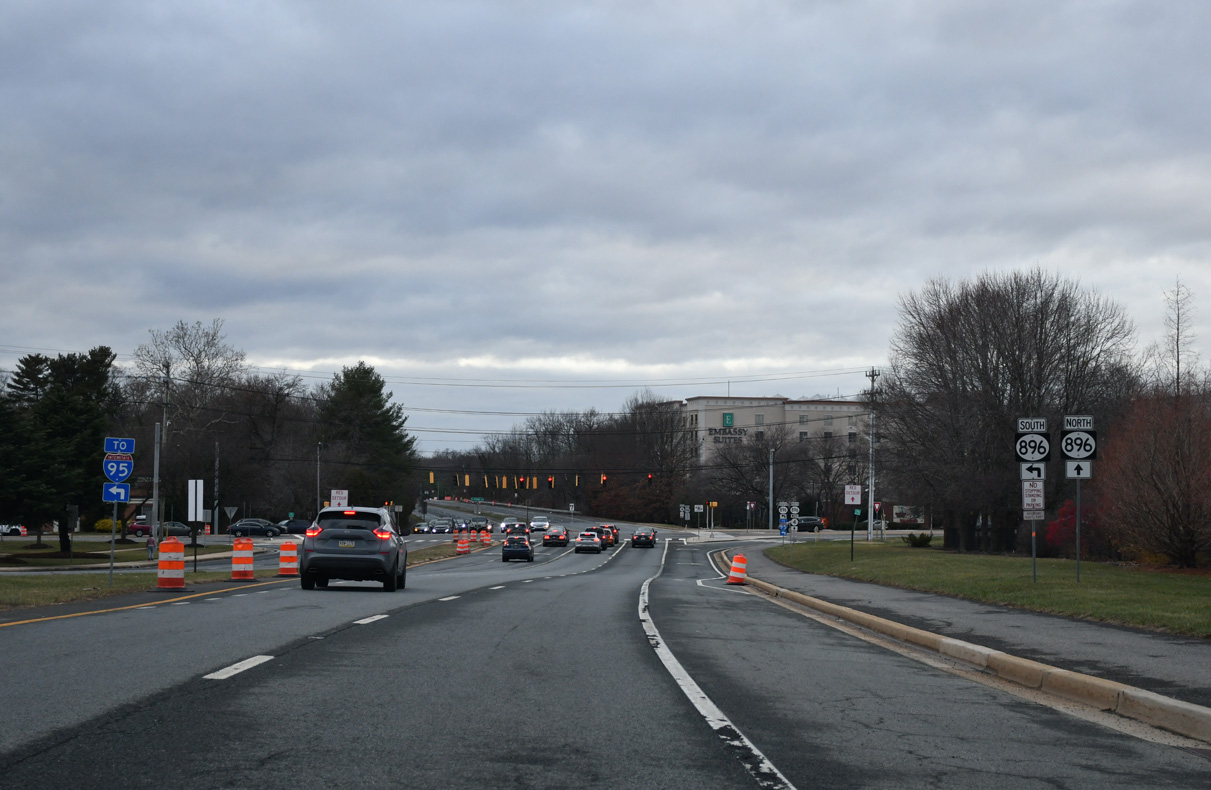
SR 896 follows S College Avenue south to Interstate 95 and Glasgow. The state route north combines with SR 4 (Christina Parkway) west as part of its bypass of Newark.
12/29/24
S College Avenue represents the main route north to the UD campus and Downtown Newark from the south. SR 896 was realigned from the arterial north of SR 4 in 1988. SR 896 is part of a 55.2 mile long multi state route south to Boyds Corner and north to Smoketown, Pennsylvania.
12/29/24
Opened to traffic in September 1983, Christina Parkway leads SR 4/896 west along a controlled access route to Elkton Road (SR 279).
09/26/14
Science Boulevard connects SR 4/896 (Christina Parkway) with the University of Delaware (UD) Science, Technology and Advanced Research Campus. UD purchased the adjacent 272-acre site after the 2008 closure of the Chrysler Assembly Plant.
09/26/14
The last SR 4 westbound shield follows what was the second entrance to the Chrysler Assembly Plant.
12/24/22
SR 896 turns north at the forthcoming intersection to follow Elkton Road and S Main Street toward Downtown Newark. Until Fall 2013, Elkton Road was also a part of SR 2 Business.
12/24/22
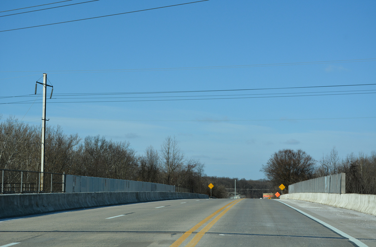
The bridge taking SR 4/896 (Christina Parkway) across the AMTRAK Northeast Corridor was built in 1981.
12/24/22
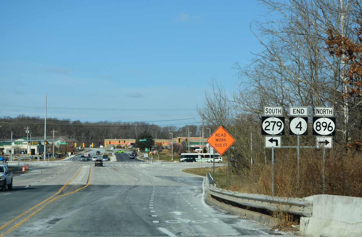
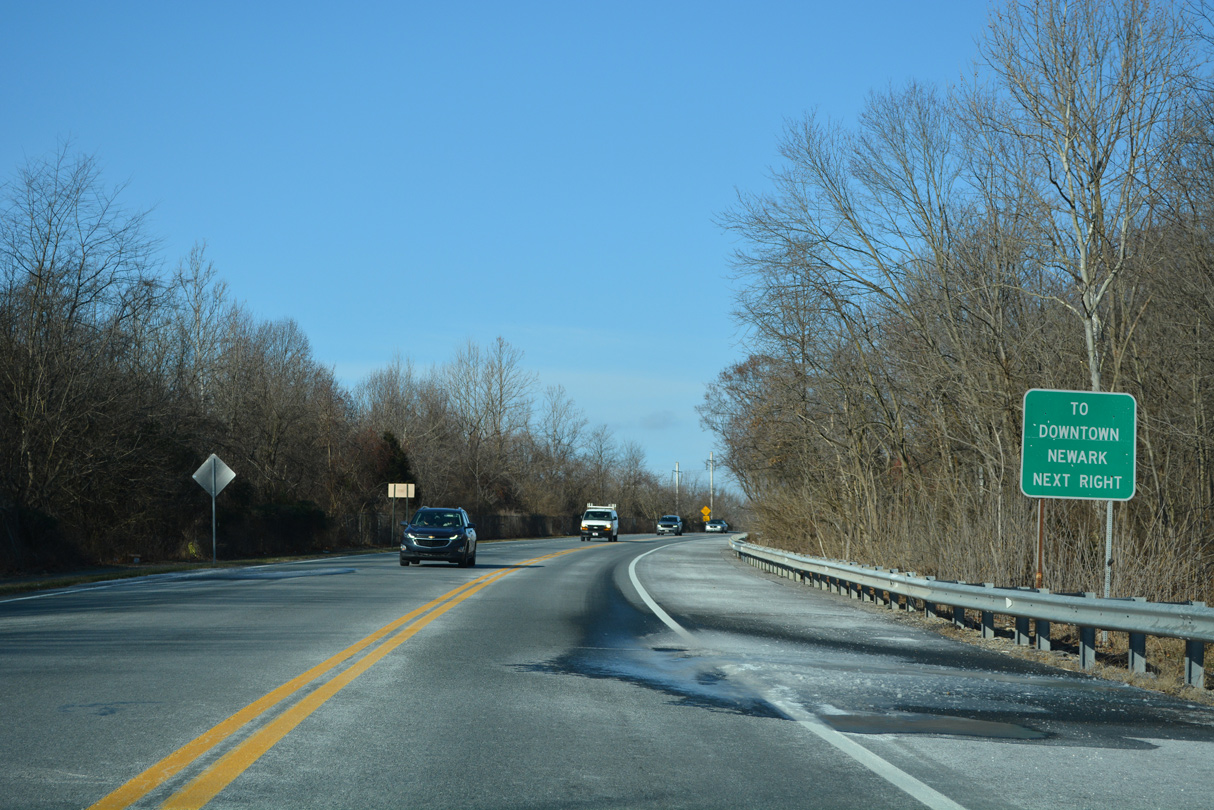
Lowering from the AMTRAK Northeast Corridor overpass, an end SR 4 shield precedes Elkton Road and Suburban Drive north. Beginning at Christina Parkway, SR 279 lines Elkton Road west to MD 279 and Interstate 95.
12/24/22


Photo Credits:
- Alex Nitzman: 09/26/14, 12/26/17, 12/22/20, 12/24/22, 12/29/24, 12/22/25, 12/24/25
Connect with:
Page Updated Tuesday January 06, 2026.