
State Route 12 West

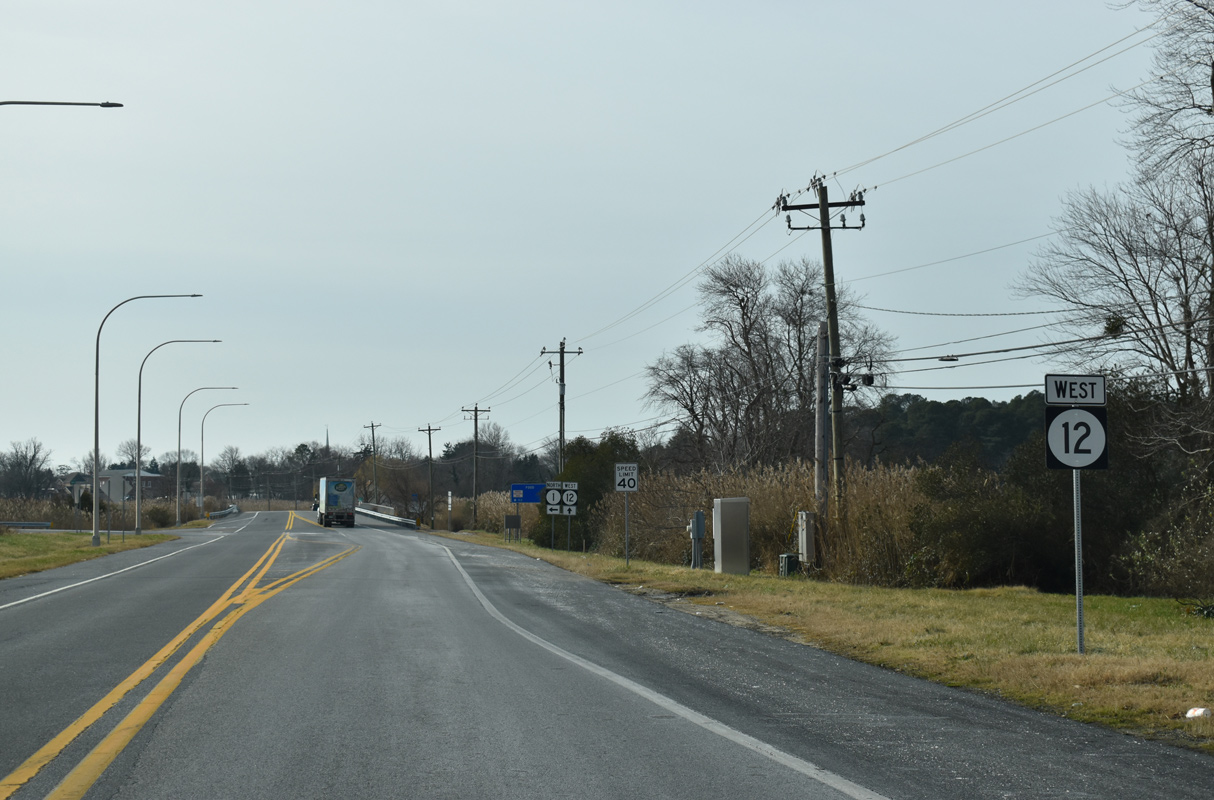
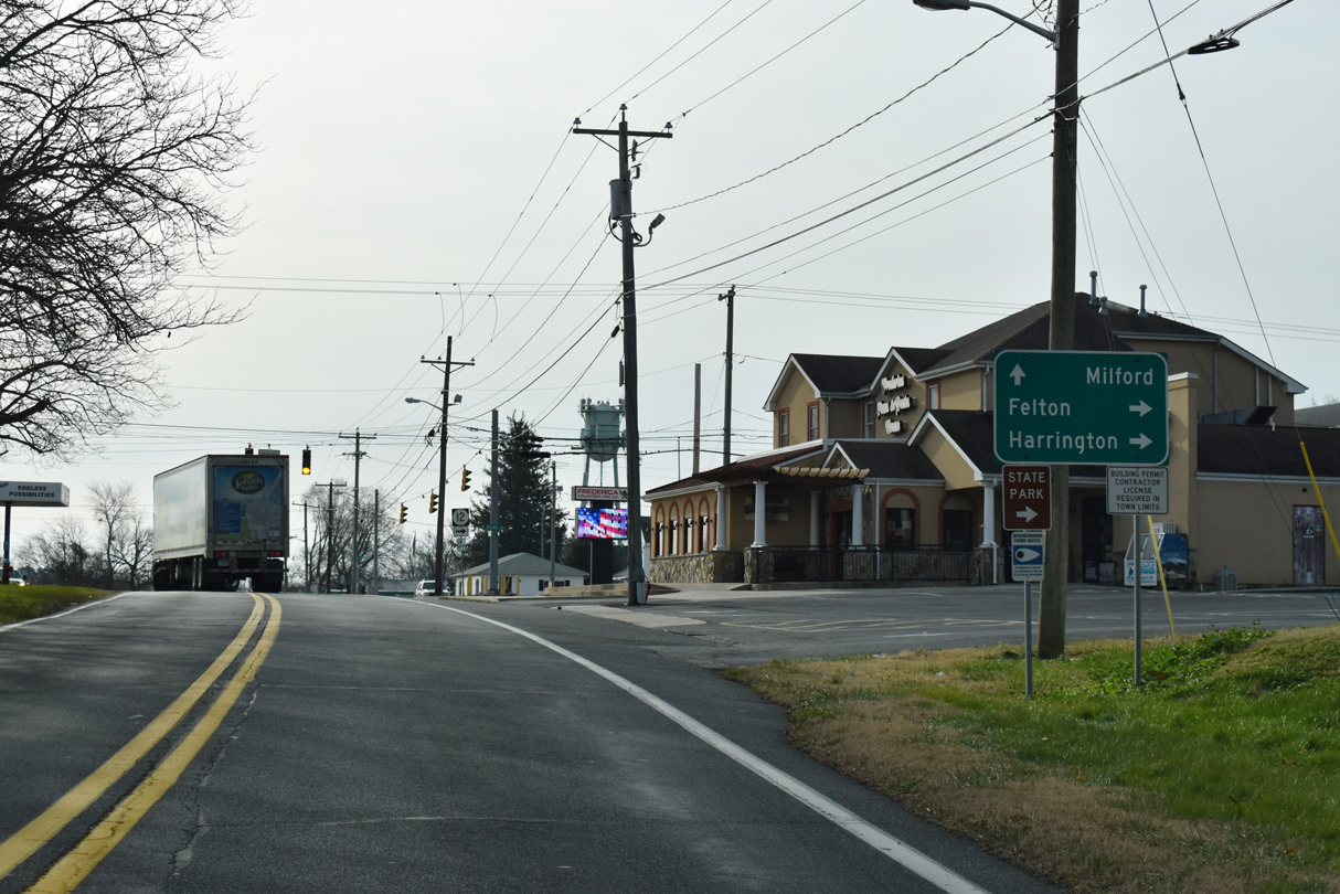
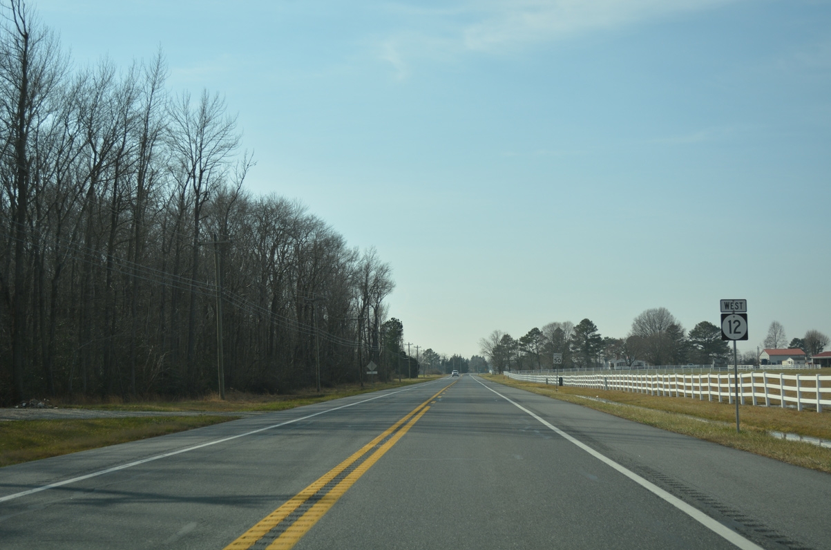
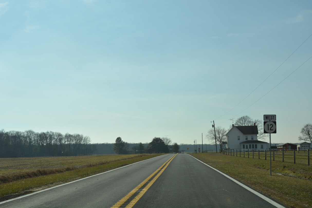
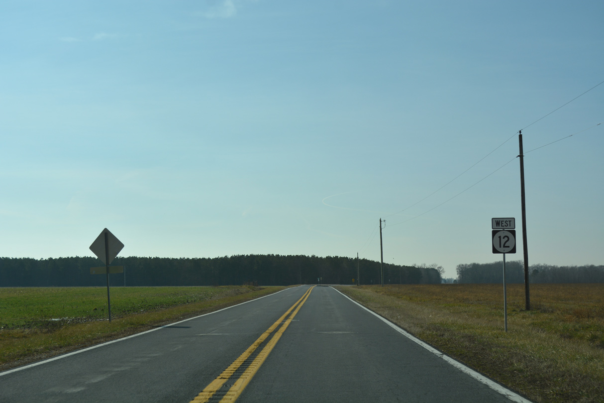
The first confirming marker for SR 12 west stands along Frederica Road just beyond the southbound exit ramp from SR 1 (Bay Road).
12/19/20
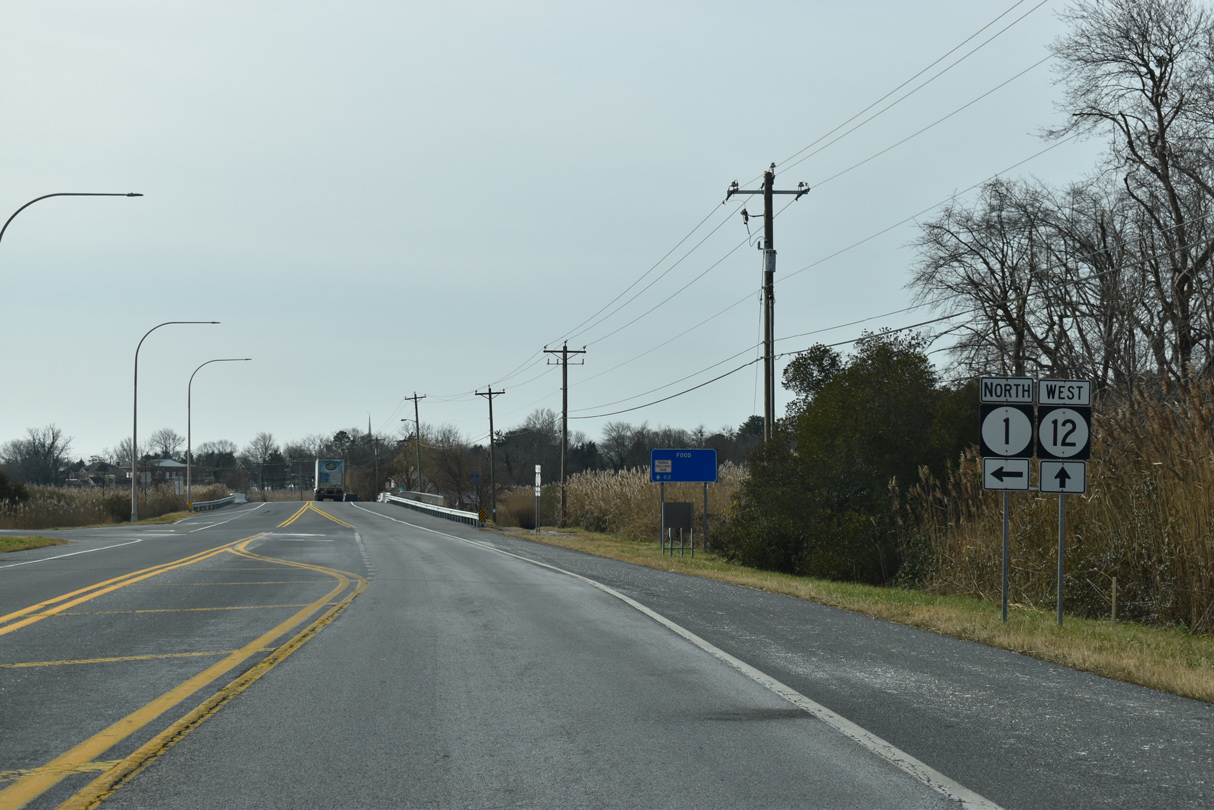
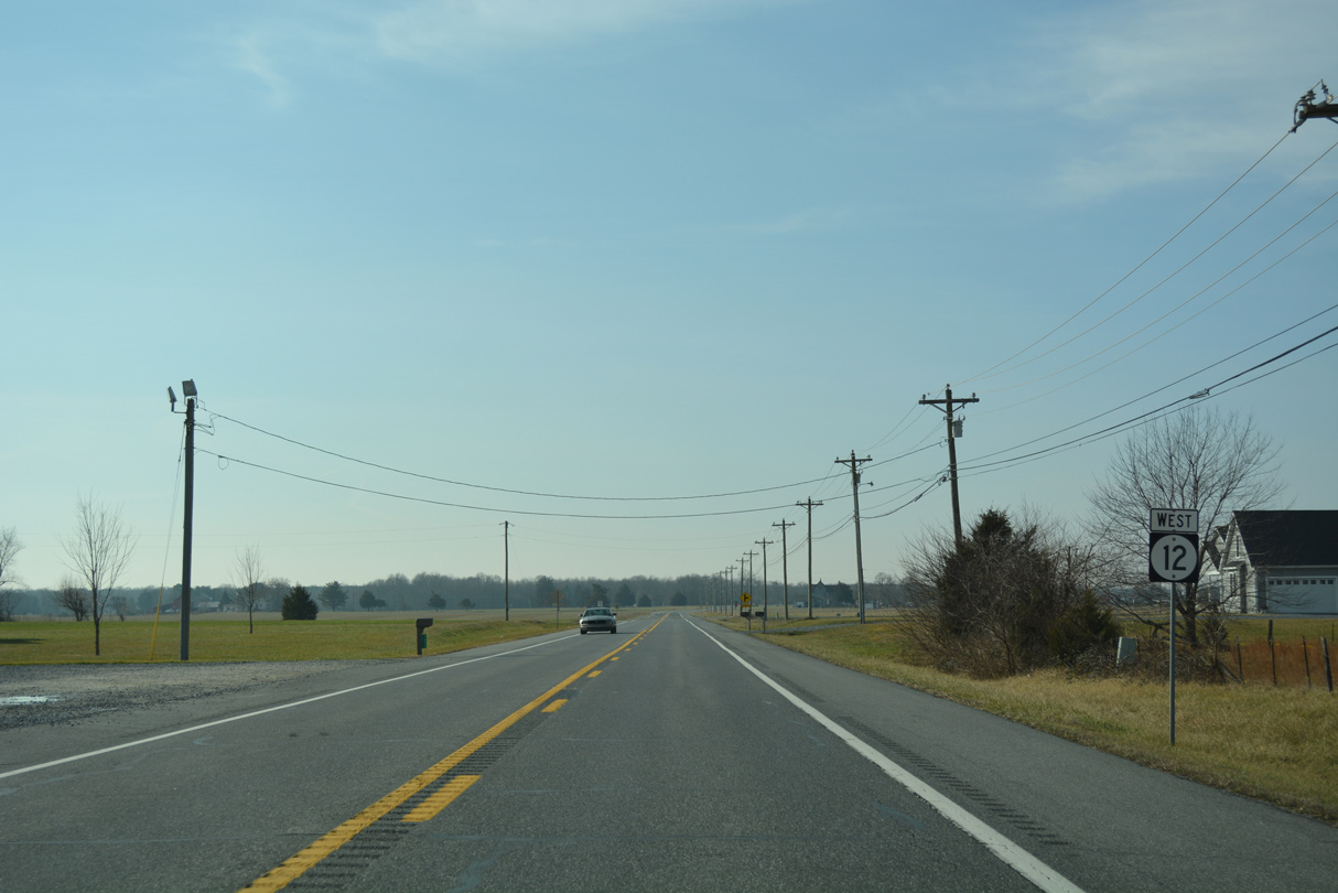
Ramps with SR 1 north tie into SR 12 just ahead of Spring Creek.
12/19/20
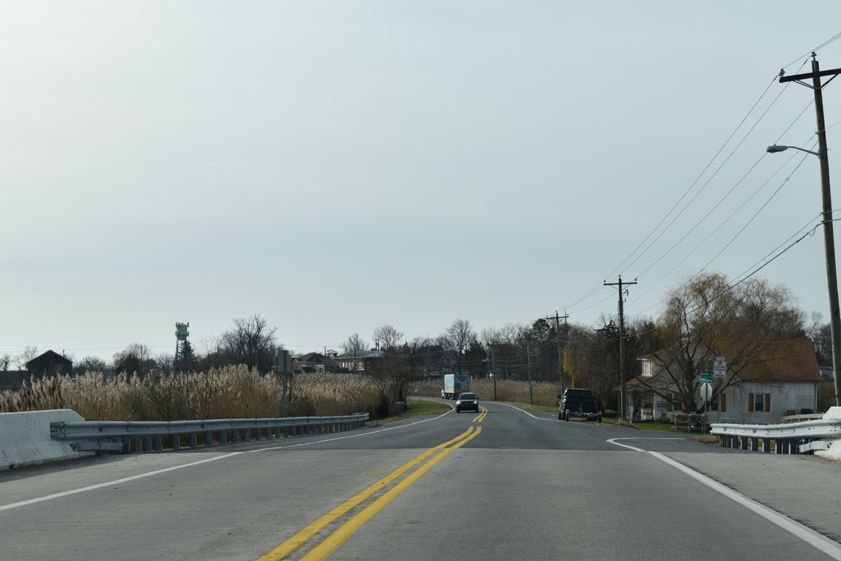
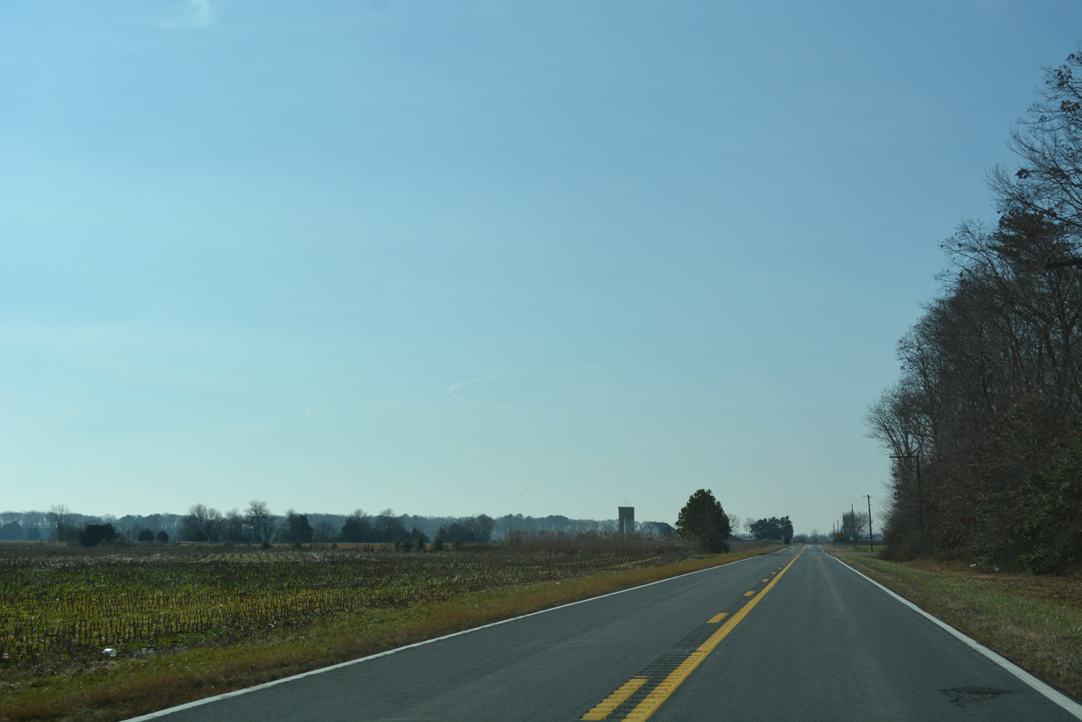
Crossing Spring Creek, westbound SR 12 (Frederica Road) enters the town of Frederica. Market Street (Rd 389) splits with the state route just beyond the waterway.
12/19/20
SR 12 separates into a one way couplet through the Frederica business district along Front Street west and David Street east.
12/19/20
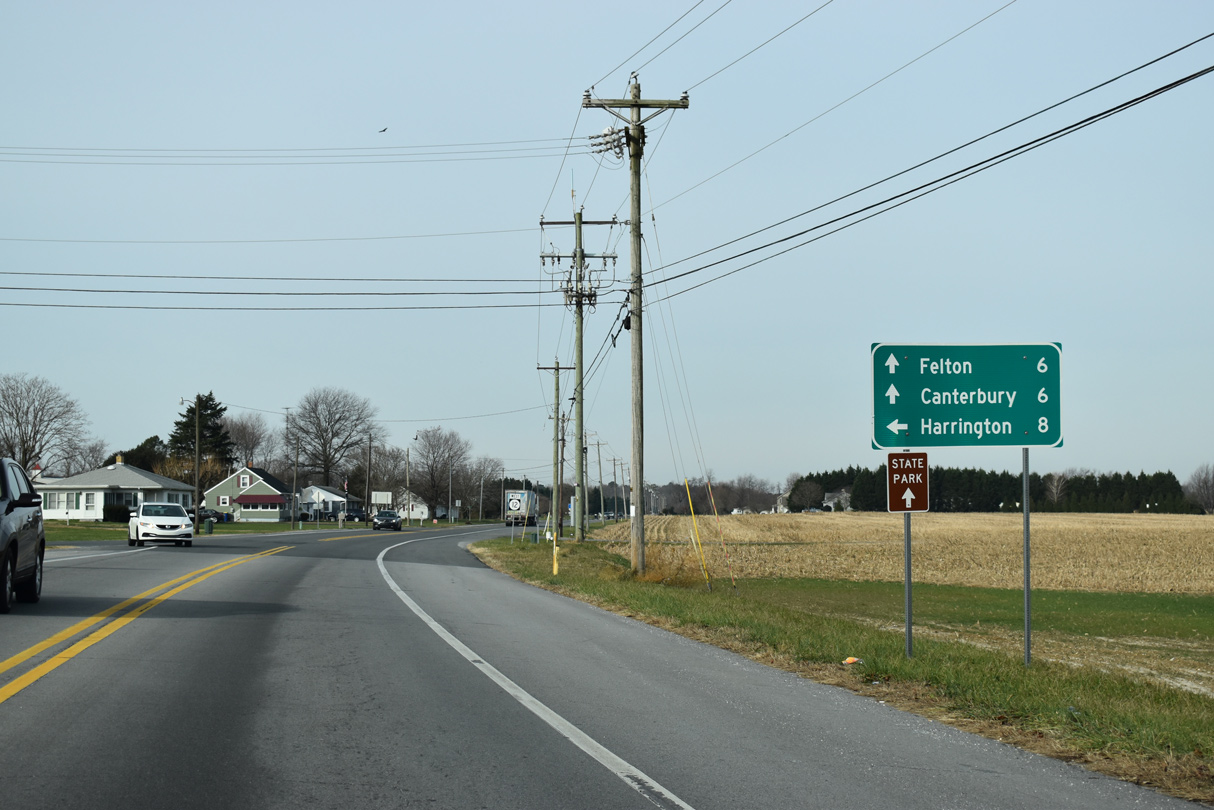
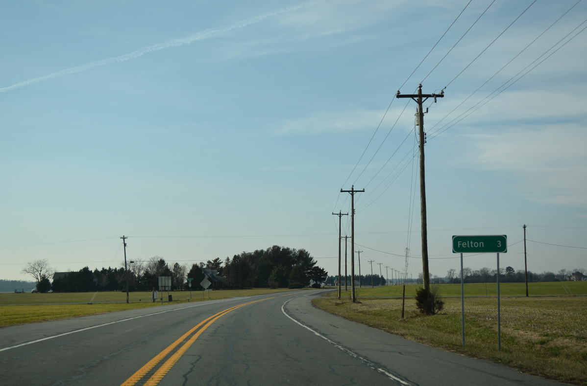
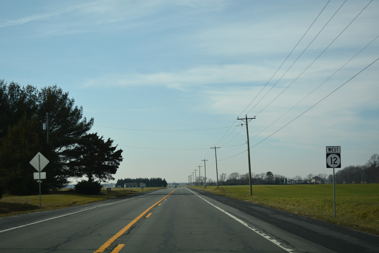
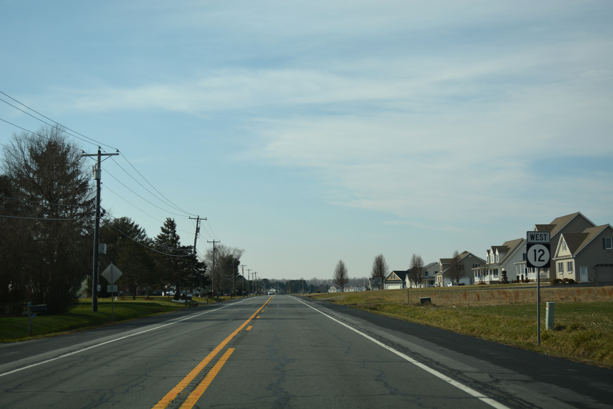
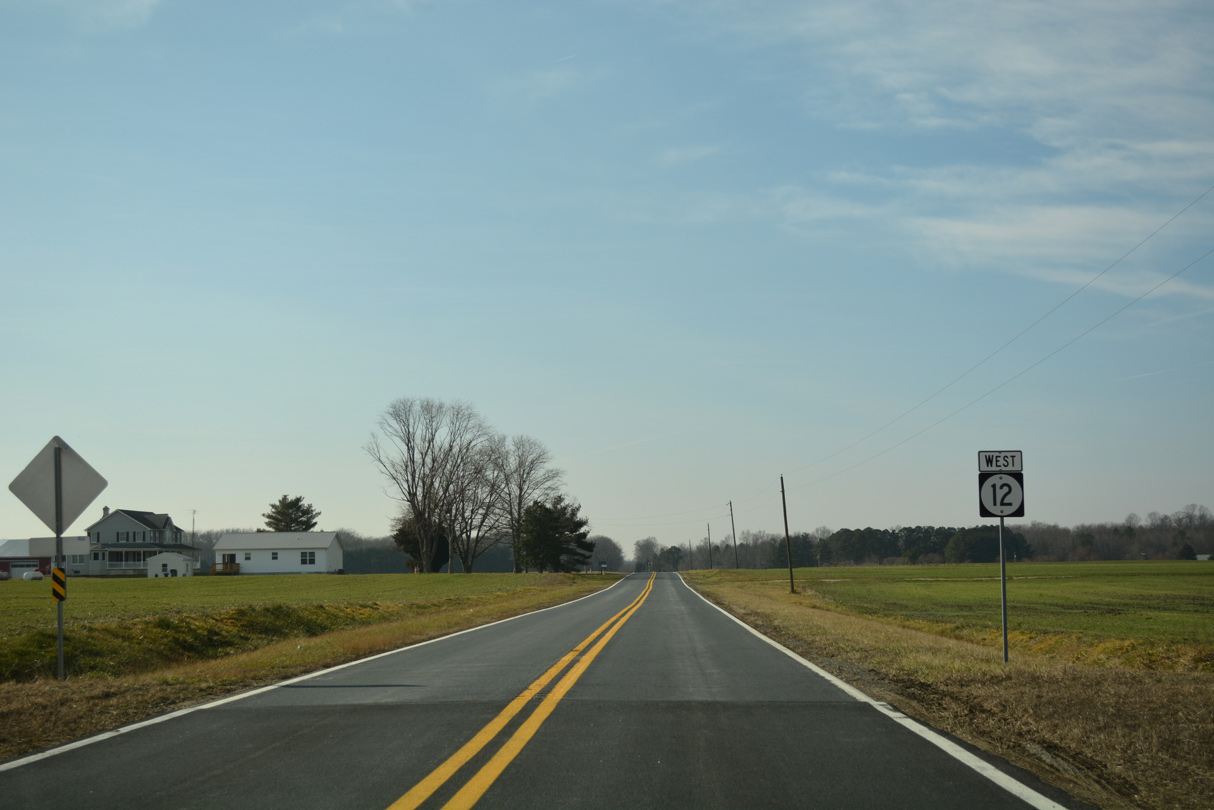
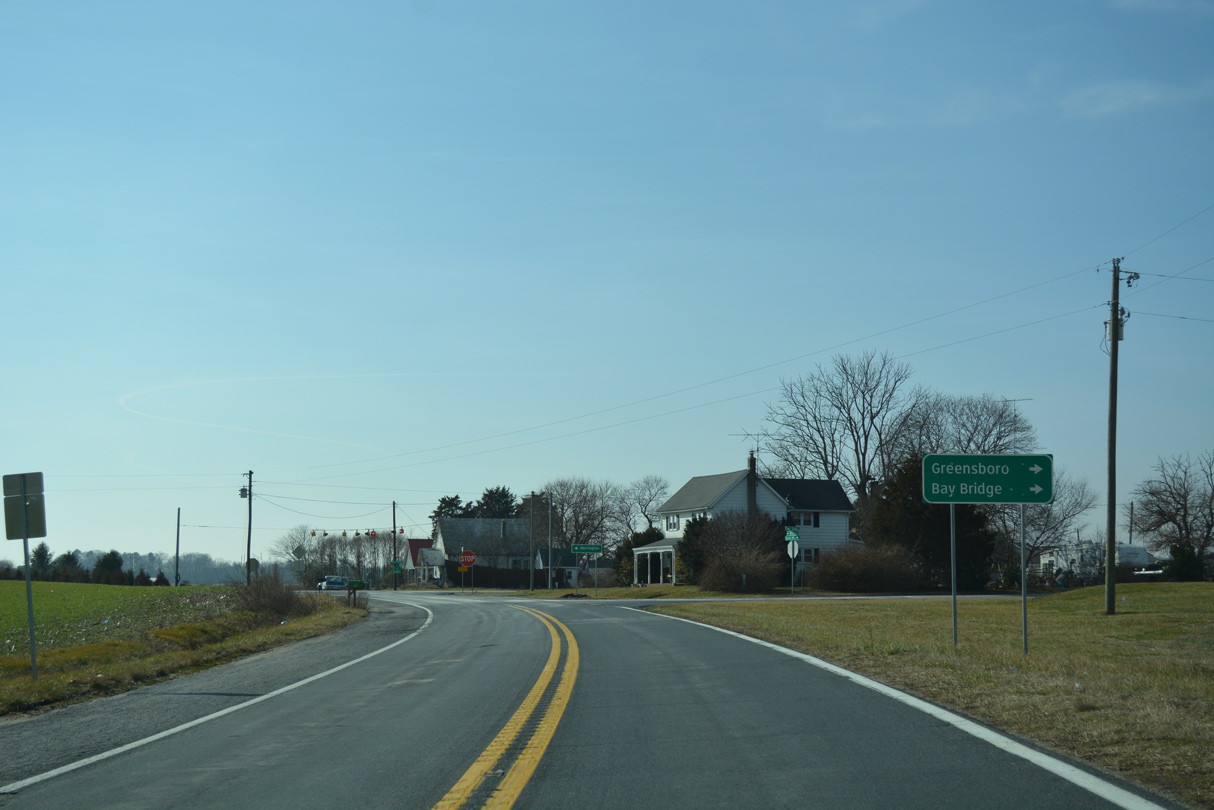
Frederica Road loops back to SR 1 out of Frederica while SR 12 extends west 5.85 miles to U.S. 13 at Felton.
12/19/20
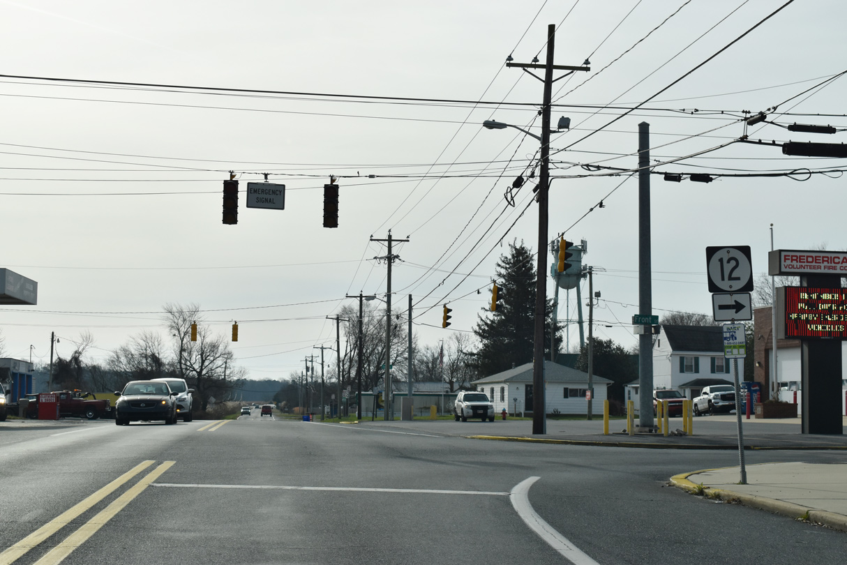
Emergency signals operate at Front Street and Frederica Road along SR 12. DelDOT recorded 2,141 vehicles per day (vpd) along the block of Frederica Road between the split directions of SR 12 in 2017.
12/19/20
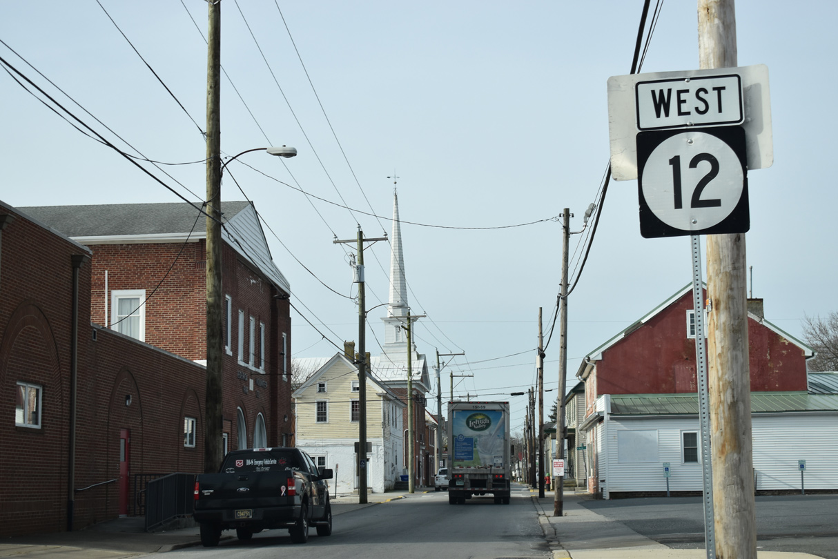
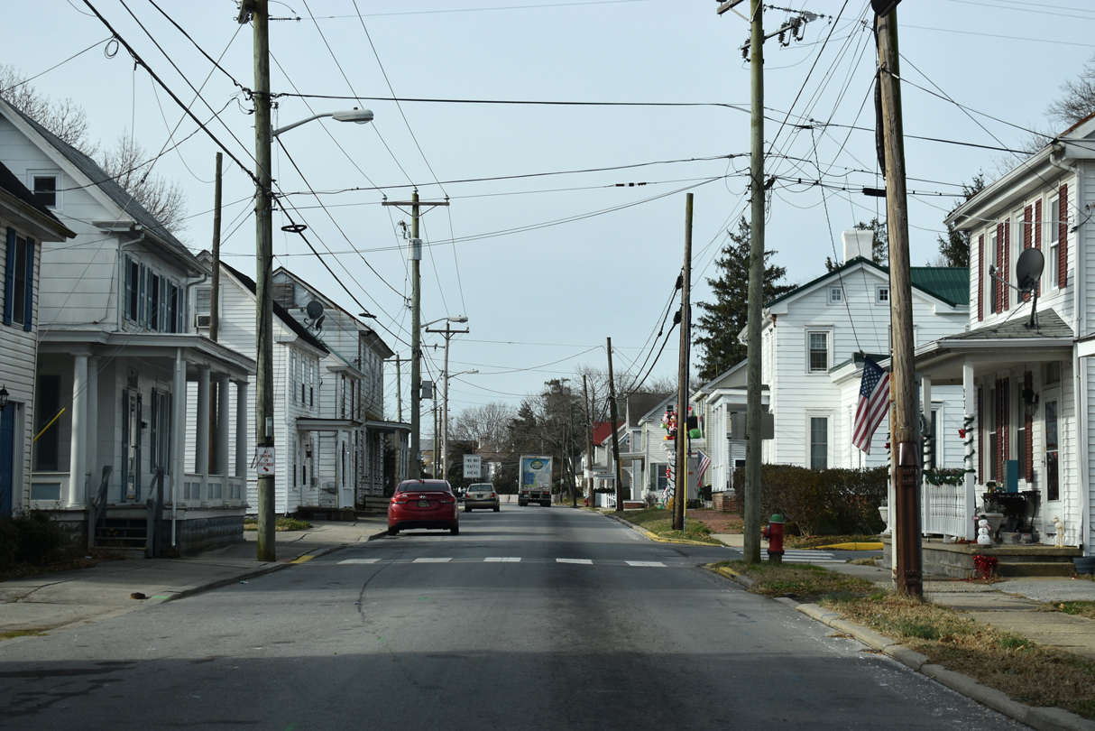
SR 12 flows west along Front Street in Frederica with one lane and on street parking.
12/19/20
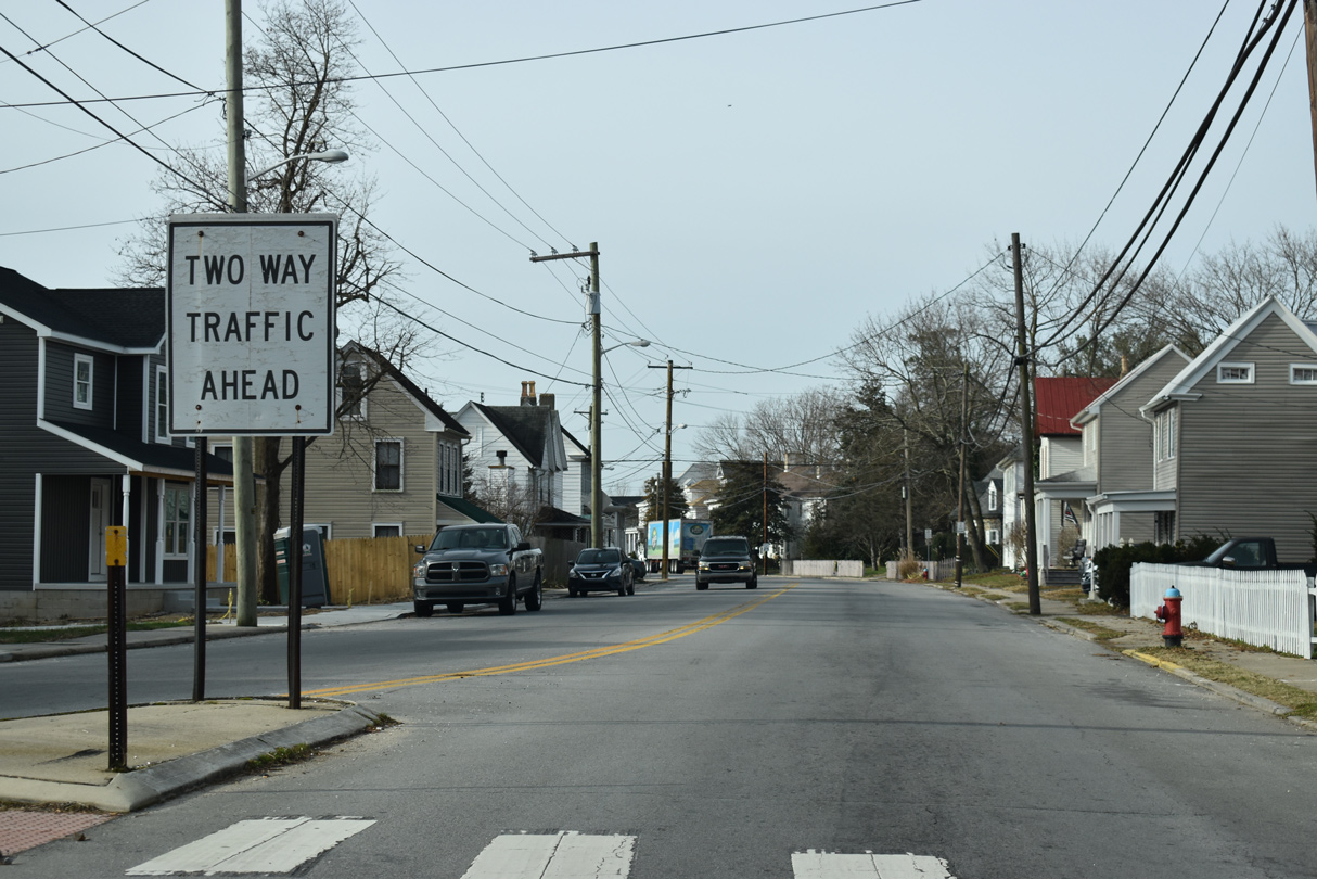
SR 12 resumes with two-way traffic along Front Street west from David Street.
12/19/20
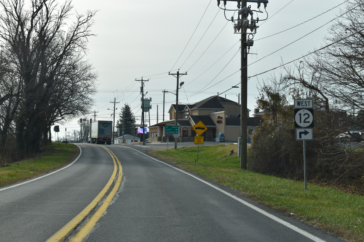
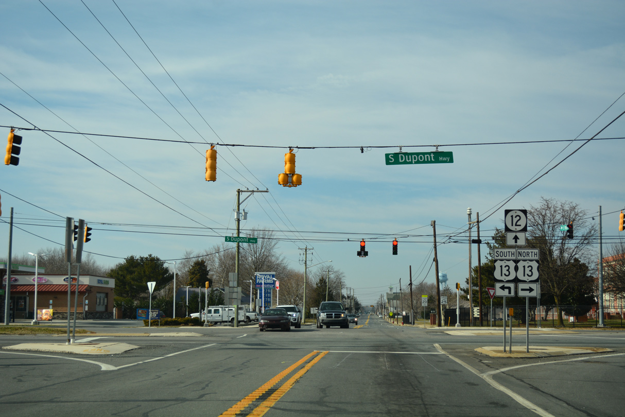
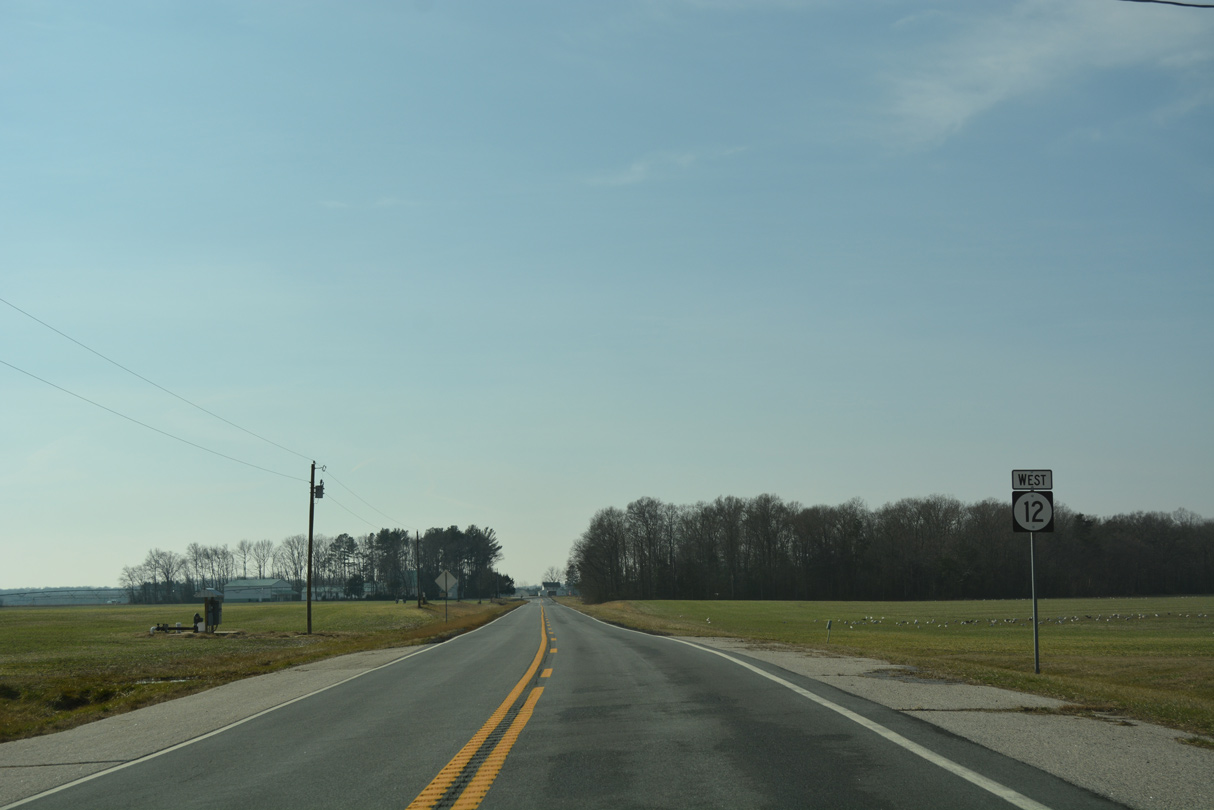
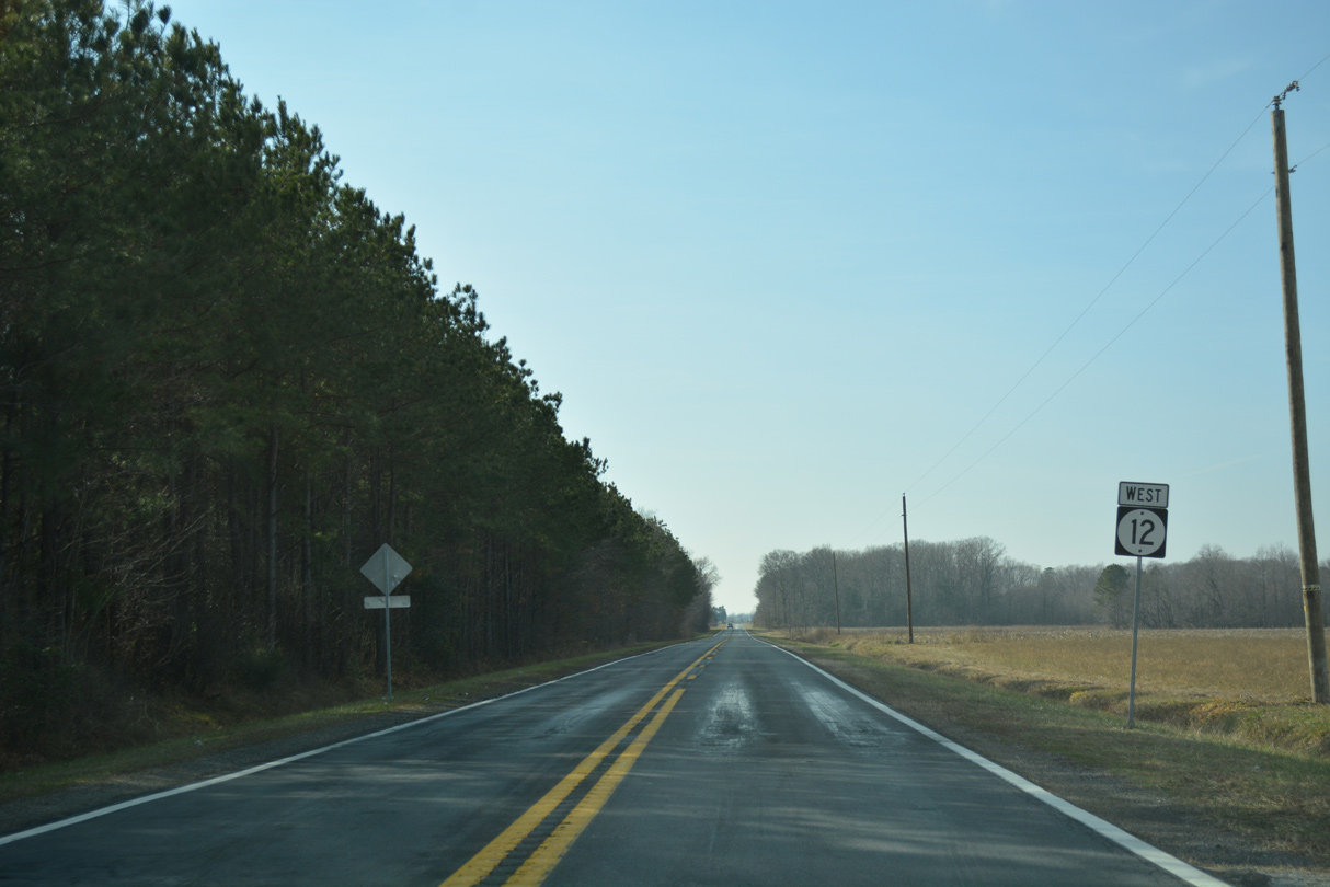
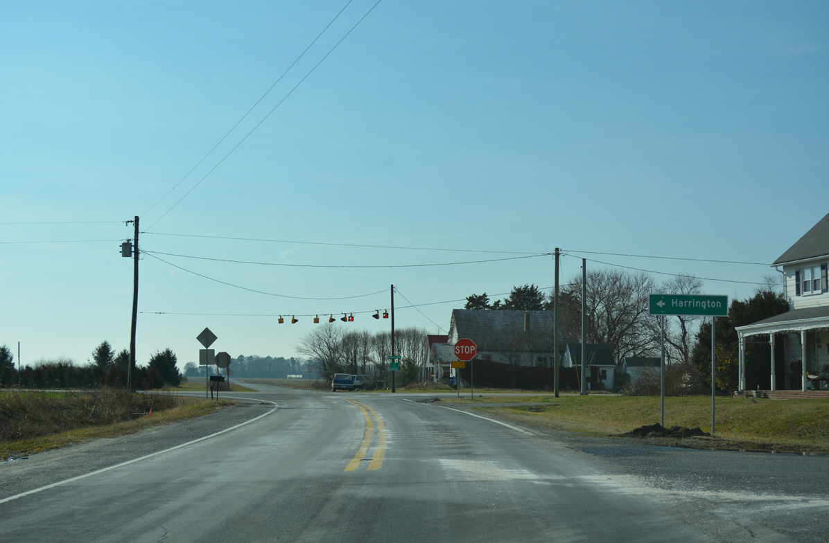
Carpenter Bridge Road (Rd 35) branches southwest from SR 12 (Johnnycake Landing Road) 7.34 miles to U.S. 13 (S Dupont Highway) near Harrington.
12/19/20
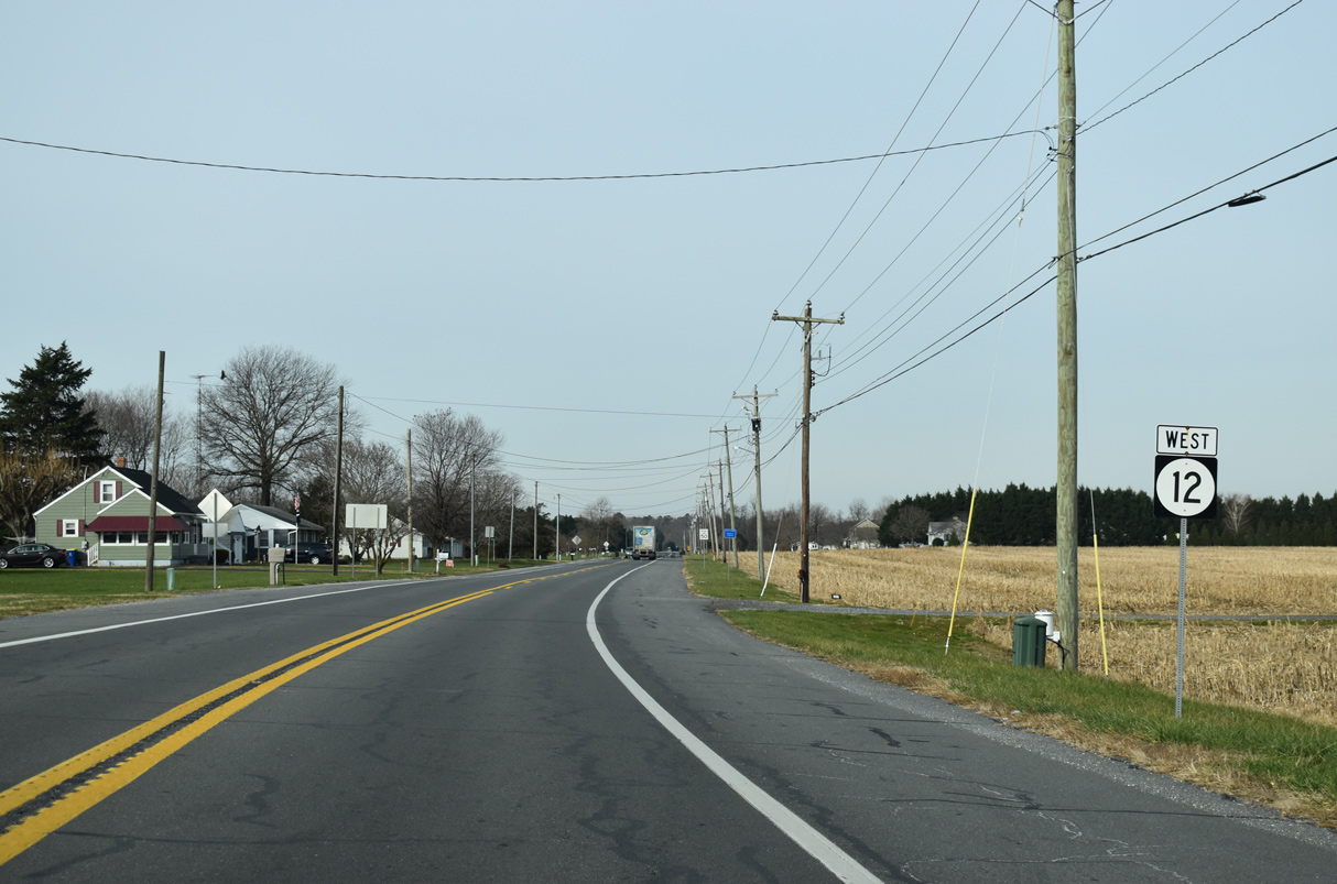
Staying north of Ash Gut stream, SR 12 shifts northward 0.84 miles to MidState Road.
12/19/20
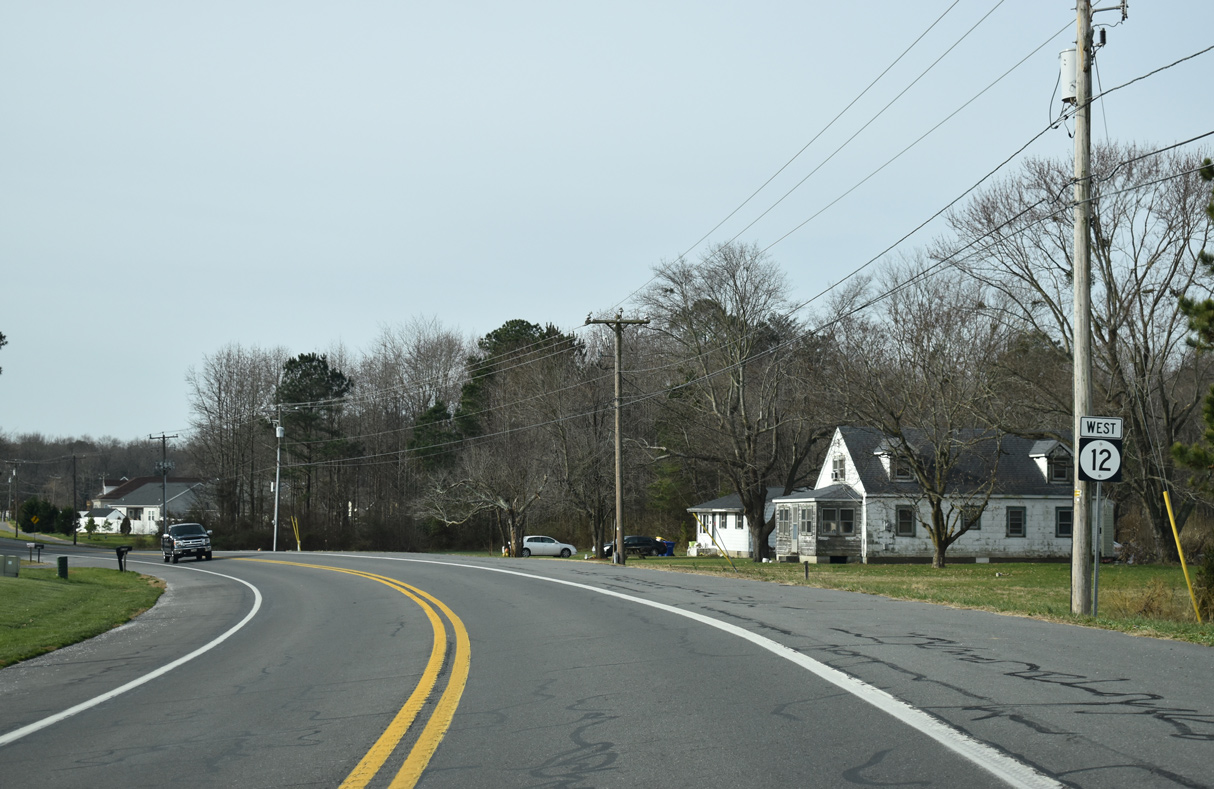
SR 12 becomes Midstate Road along the curve west at Andrews Lake Road (Rd 380).
12/19/20
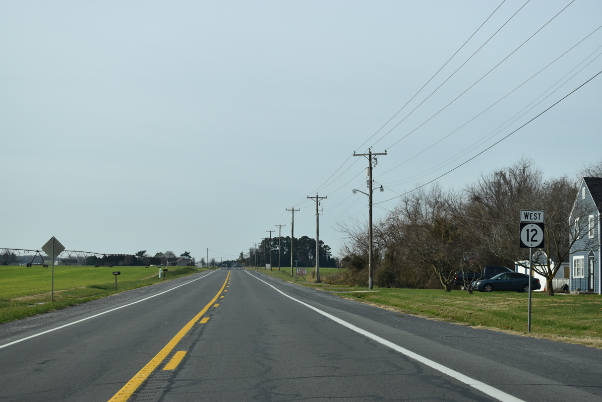
Reassurance marker posted west of Robbins Road (Rd 383) north.
12/19/20
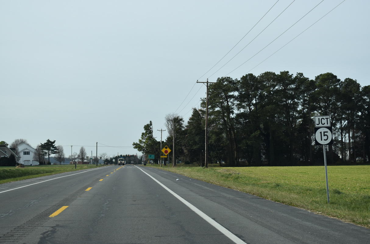
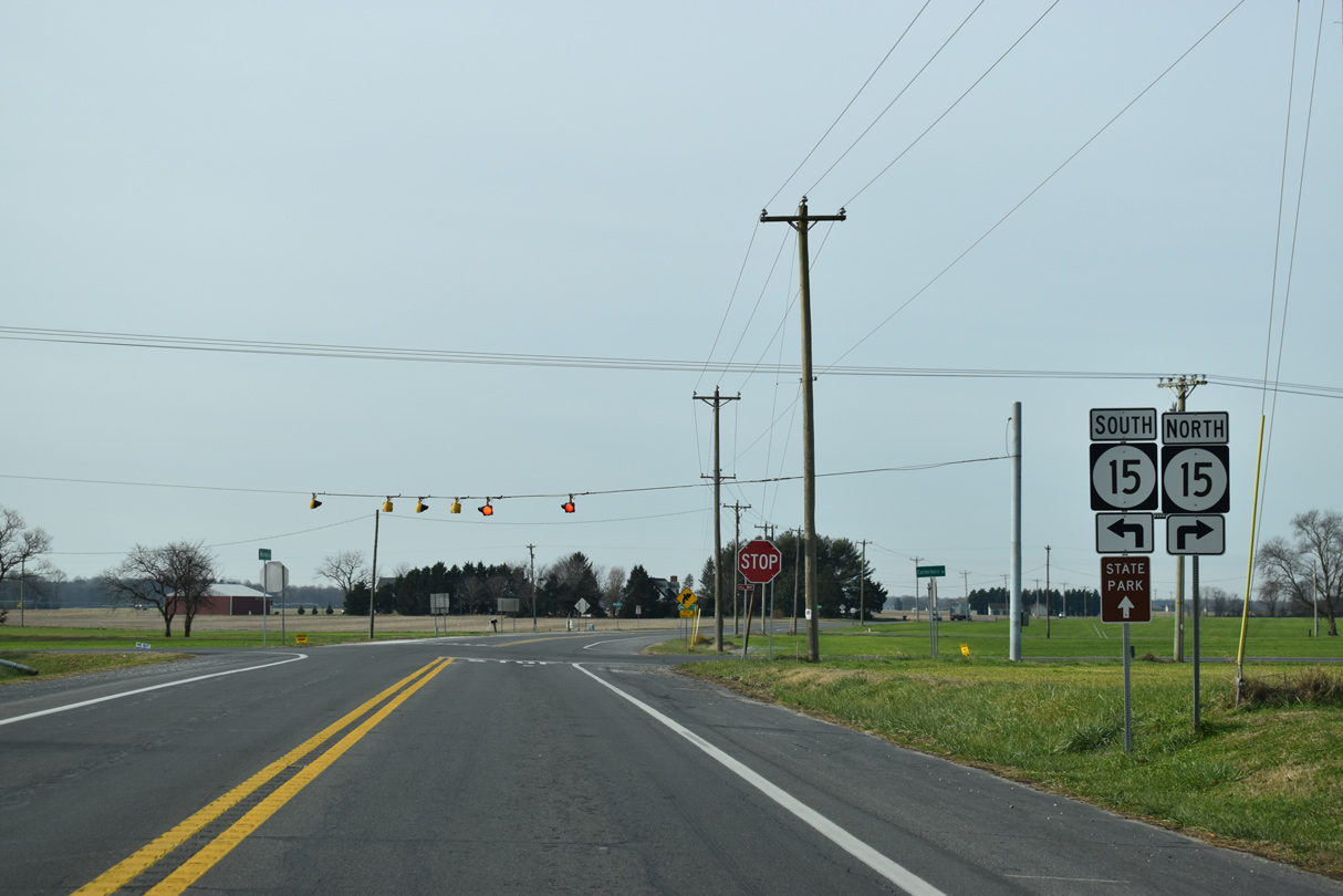
SR 12 (Midstate Road) converges with SR 15 (Canterbury Road) at Scrap Tavern Crossroads.
12/19/20
SR 15 heads northwest to Canterbury and U.S. 13 en route to Woodside and Camden. SR 15 south travels 6.94 miles to SR 14 in Milford.
12/19/20
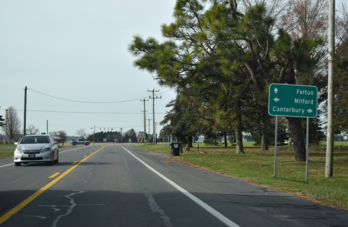
Advancing west from SR 15 and Scrap Tavern Crossroads, SR 12 (Midstate Road) continues three miles to the town of Felton.
01/15/17
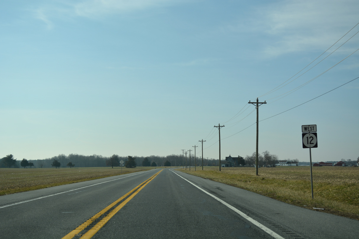
Reassurance marker for SR 12 west posted after the Midstate Road intersection with Scrap Tavern Road.
01/15/17
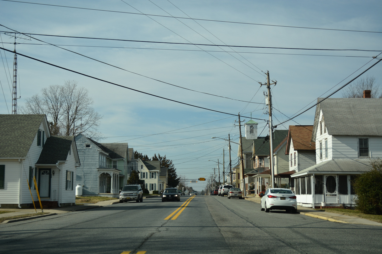
A number of homes line up along SR 12 (Midstate Road0 between Chimney Hill Road and U.S. 13 (Dupont Highway).
01/15/17
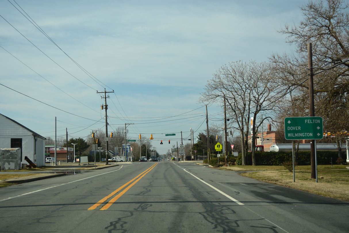
U.S. 13 runs along the east side of Felton to intersect SR 12 at Main Street. Dupont Highway leads north to Dover and SR 1 (Korean War Veterans Memorial Highway) to Wilmington.
01/15/17
South from Felton, U.S. 13 continues to Harrington, Bridgeville and Seaford. The 518 mile route stretches south to near Fayetteville, North Carolina and north to Morrisville, Pennsylvania.
01/15/17
SR 12 is unmarked westbound along Main Street from U.S. 13 to the Felton town center.
01/15/17
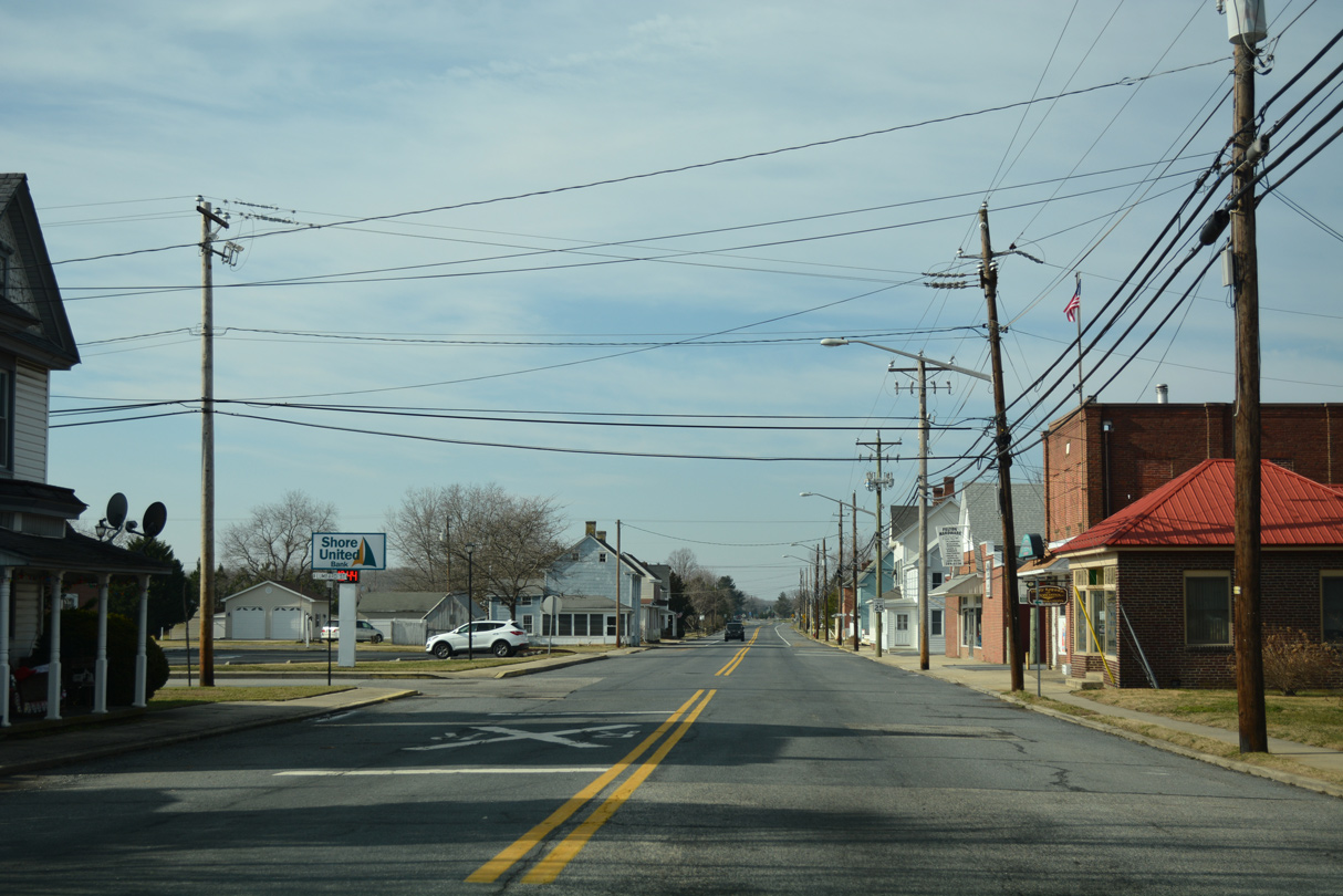
Main Street crosses a Norfolk Southern Railroad line between Railroad Avenue north and Lombard Street south. The state route merges with High Street in 0.4 miles as it leaves Felton.
01/15/17
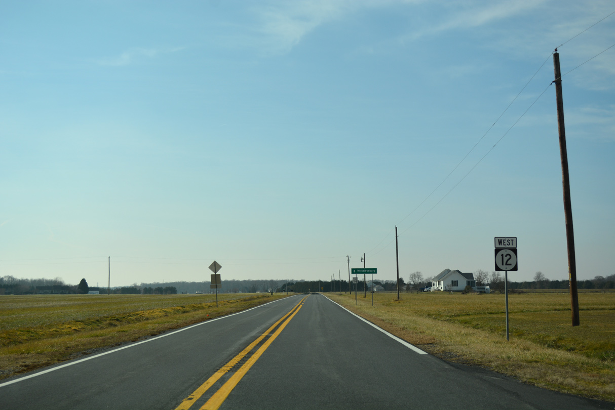
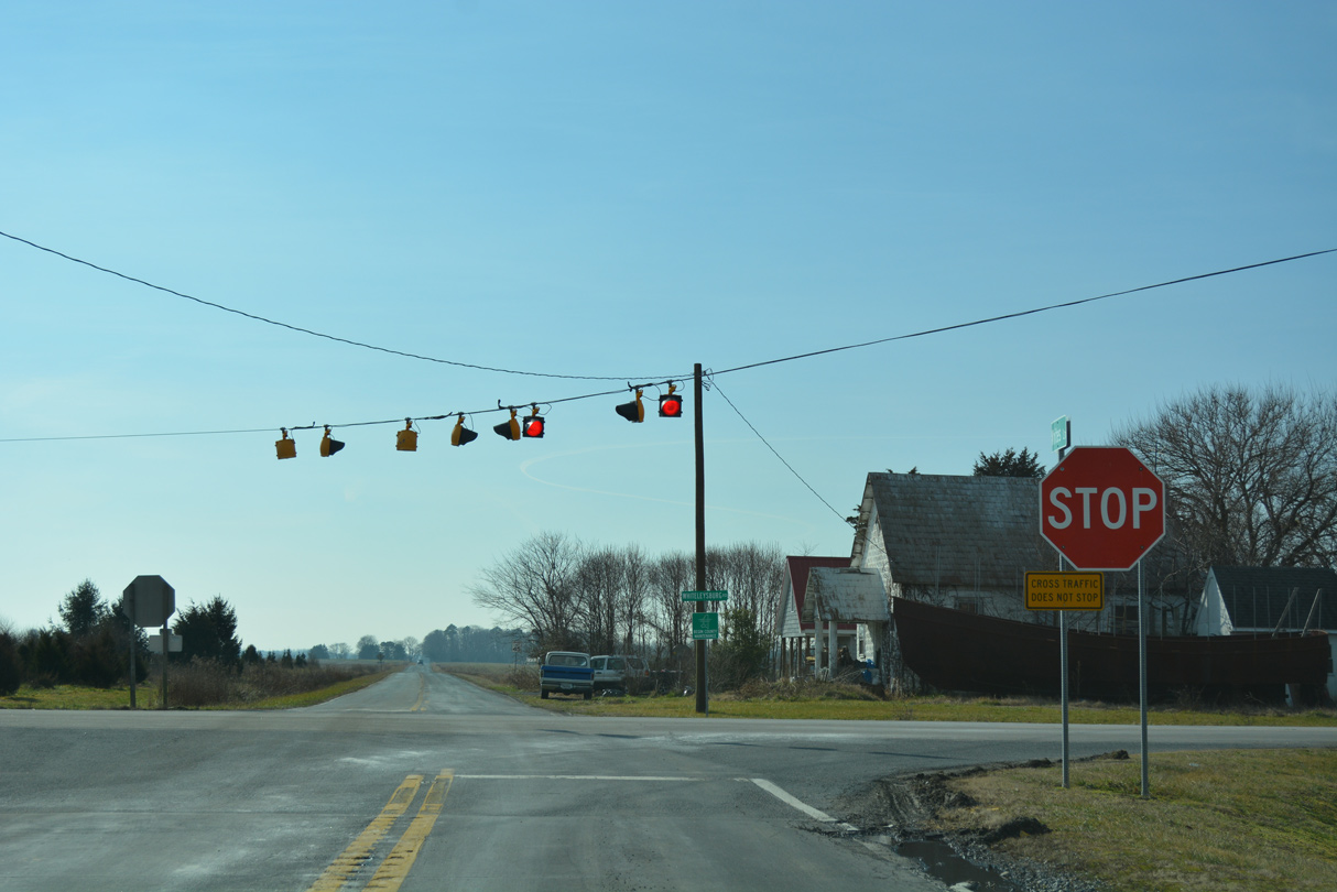
SR 12 (Burnite Mill Road) advances nine miles southwesterly to the community of Whiteleysburg.
01/15/17
SR 12 passes between an equestrian farm and woodlands west from Berry Town Road.
01/15/17
Sportsman Road stems north from Hills Market Road to end at SR 12 (Burnite Mill Road) just ahead of this reassurance marker.
01/15/17
Prior to the next shield, Sandtown Road branches northward to link SR 12 with SR 10 (Willow Grove Road) at the community of Sandtown.
01/15/17
Hopkins Cemetery Road intersects SR 12 (Burnite Mill Road) north from Mastens Corner. SR 12 continues west from the cross roads by this shield assembly.
01/15/17
Turning more toward the south, SR 12 (Burnite Mill Road) crosses Black Swamp Creek and intersects Chandler Road.
01/15/17
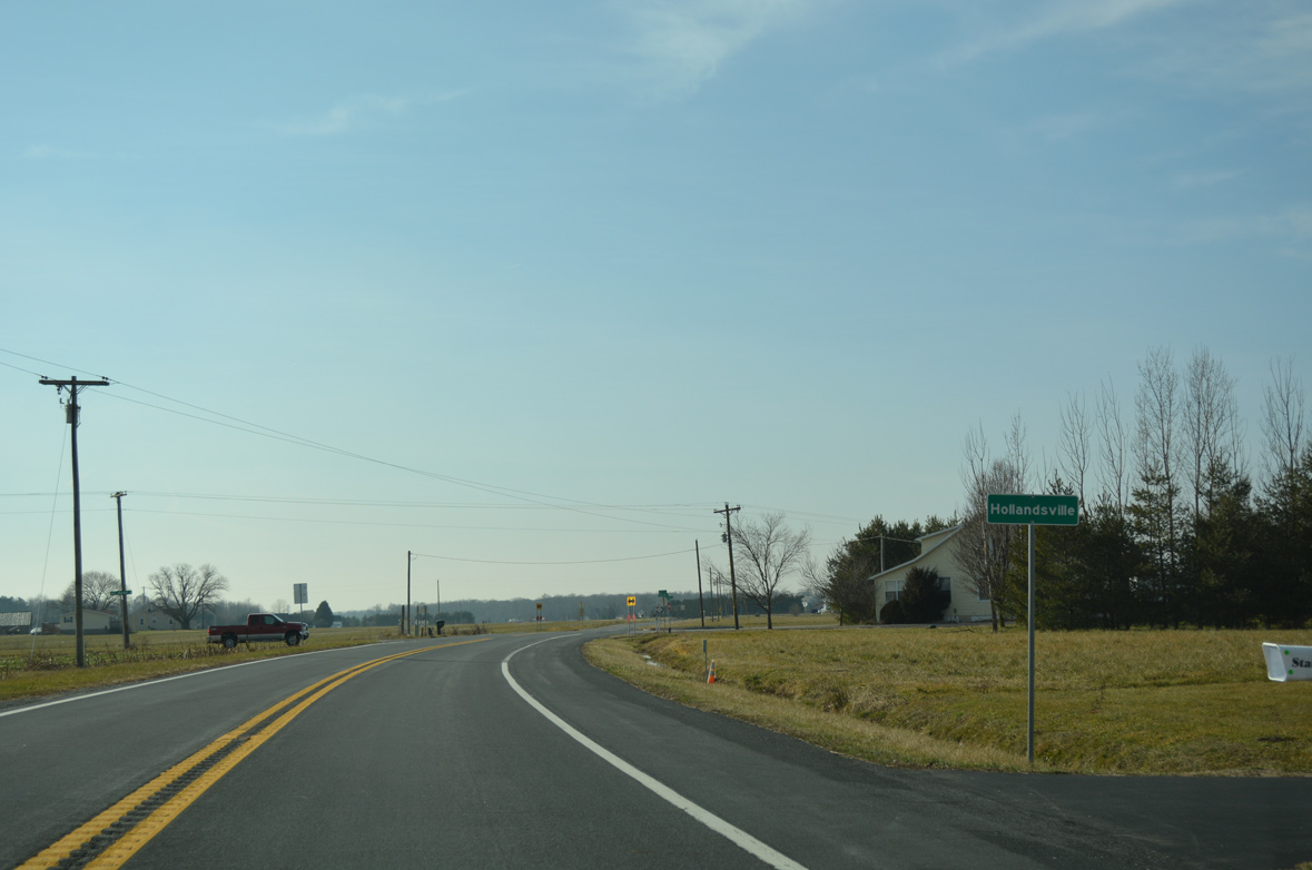
Hills Market Road west from Minners Corners and Spectrum Farms Road east from Greens Corners come together at the community of Hollandsville along SR 12.
01/15/17
Progressing southwest from Hollandsville, SR 12 travels across more farmland to Whiteleysburg.
01/15/17
SR 12 remains well signed along Burnite Mill Road, with shields posted after most cross roads, including this assembly after White Marsh Branch Road south.
01/15/17
SR 12 (Burnite Mill Road) west between John Hurd Road south and White Marsh Branch.
01/15/17
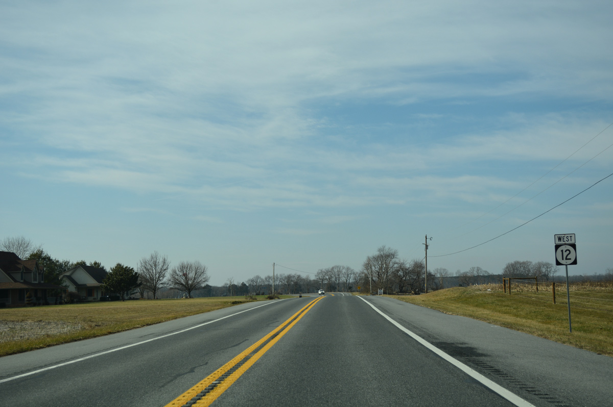
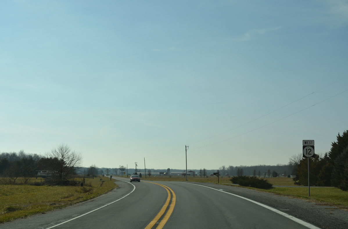
Westbound scene along SR 12 west after Hayfield Road.
01/15/17
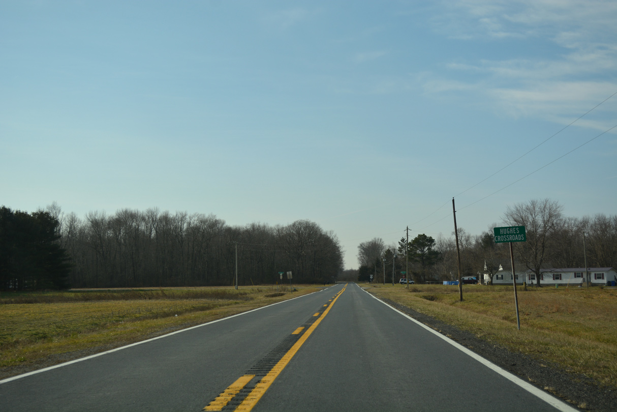
Park Road Road arcs northwest from Hopkins Corner to become Spider Web Road north from SR 12 at Hughes Crossroads.
01/15/17
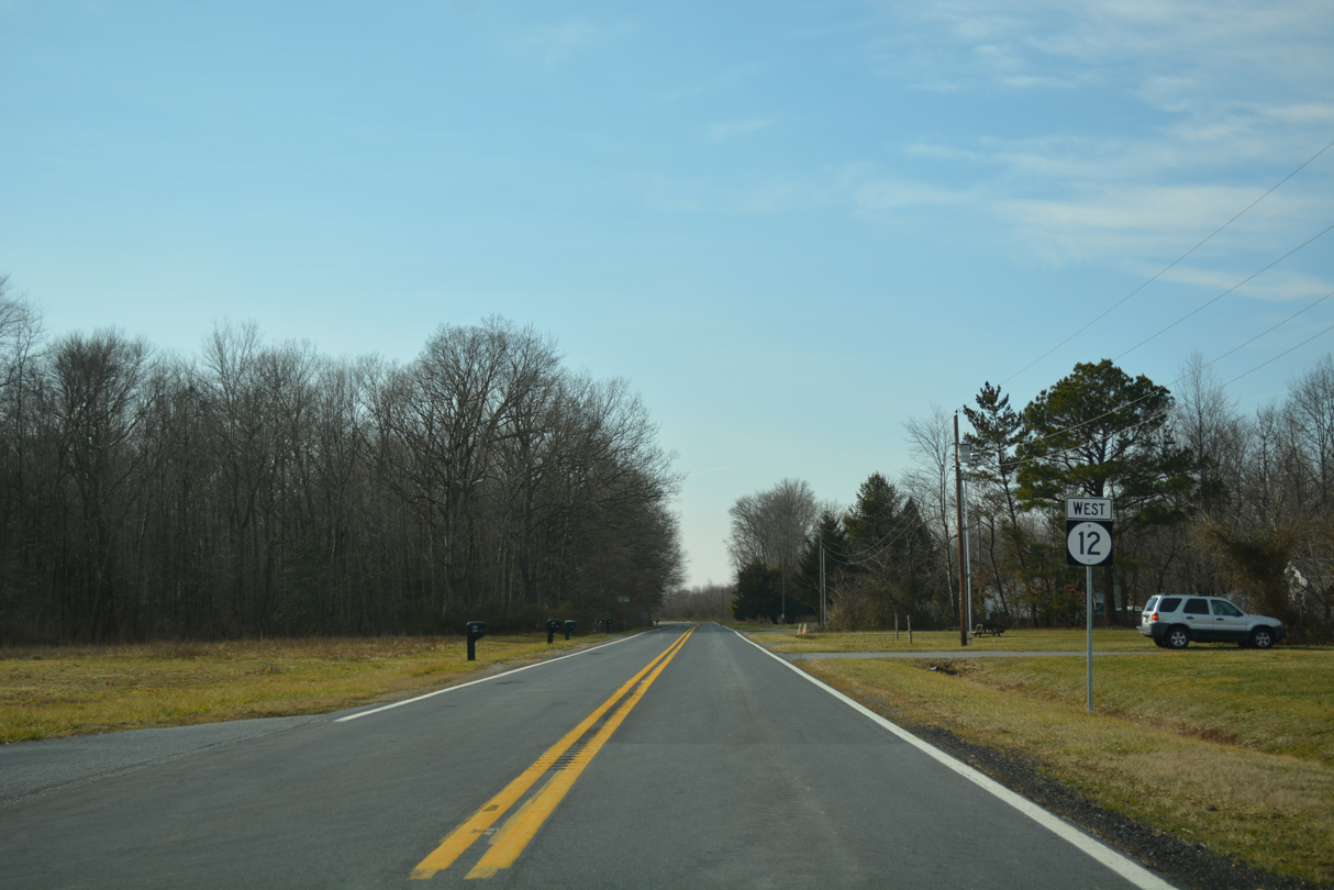
An S-curve takes SR 12 (Burnite Mill Road) west from Hughes Crossroads to Two Mile Road.
01/15/17
Westbound shield assembly for SR 12 posted after Edwardsville Road north to Edwardsville.
01/15/17
A straight away leads SR 12 west from Two Mile Road through wooded areas surrounding Sangston Prong.
01/15/17
Motorists on SR 12 (Burnite Hill Road) west next intersect Cedar Grove Church Road north to Schultie Crossroads.
01/15/17
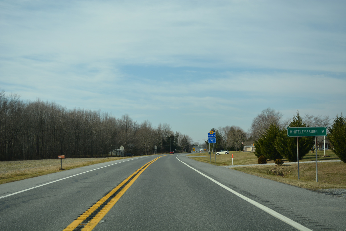
SR 12 west reaches the community of Whiteleysburg at Two State Road. A guide sign directs drivers onto Two State Road west as an implied turn of SR 12 west into Maryland. A distance sign posted nearby references Greensboro (4 miles).
01/15/17
Burnite Mill Road ends at Whiteleysburg Road directly at a stop sign and set of flashers. Whiteleysburg Road provides a through route from Caroline County, Maryland southeast to SR 14 and Harrington.
01/15/17
Whites Lane extends southwest from Burnite Mill Road at Whiteleyburg. MD 314 commences a 4.93 mile route west to Greensboro to the right. An end shield for SR 12 was added here by 2023.
01/15/17
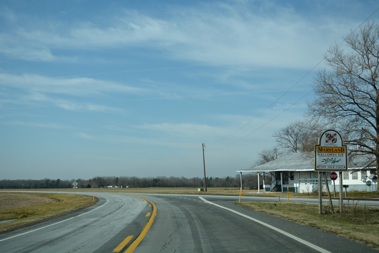
Whiteleysburg and Two State Roads converge just across the Delaware state line and west end of SR 12. MD 314 follows Whiteleysburg Road west 3.91 miles to MD 313 (Greensboro Road).
01/15/17
Photo Credits:
- Alex Nitzman: 01/15/17, 12/19/20
Connect with:
Page Updated Friday January 03, 2025.