
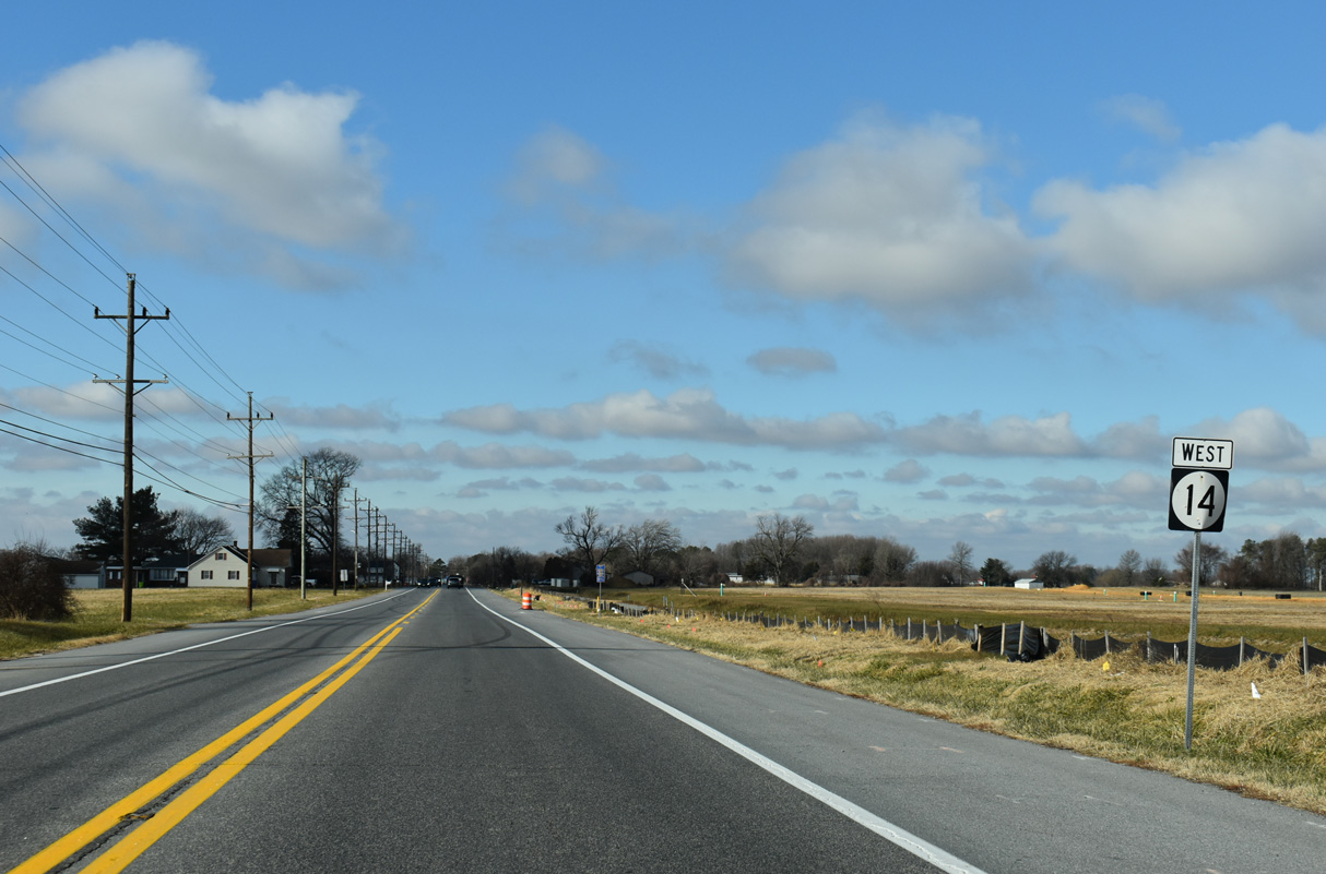
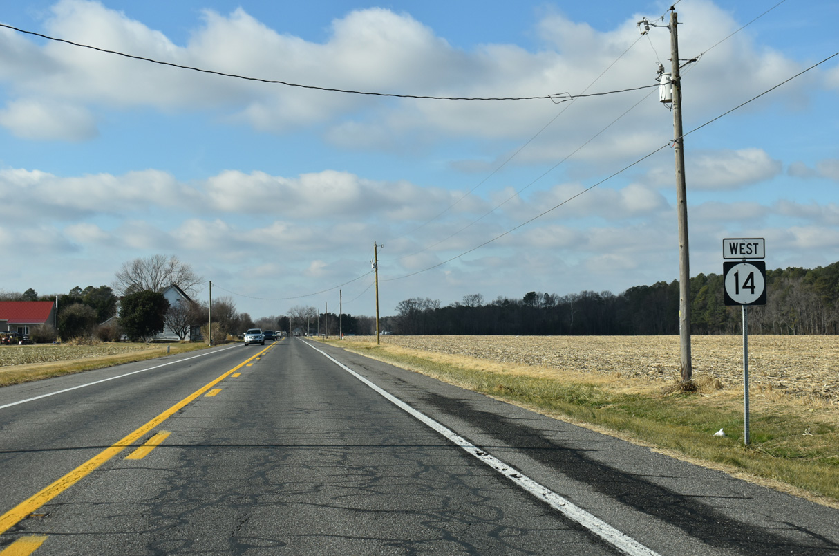
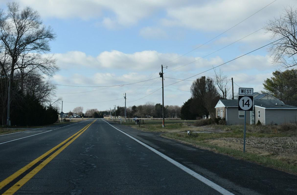
State Route 14 West


New Wharf Road (Rd 409) enters the parclo A2 interchange joining SR 14 with SR 1 (Milford Bypass) from the Woods Haven community.
12/19/20
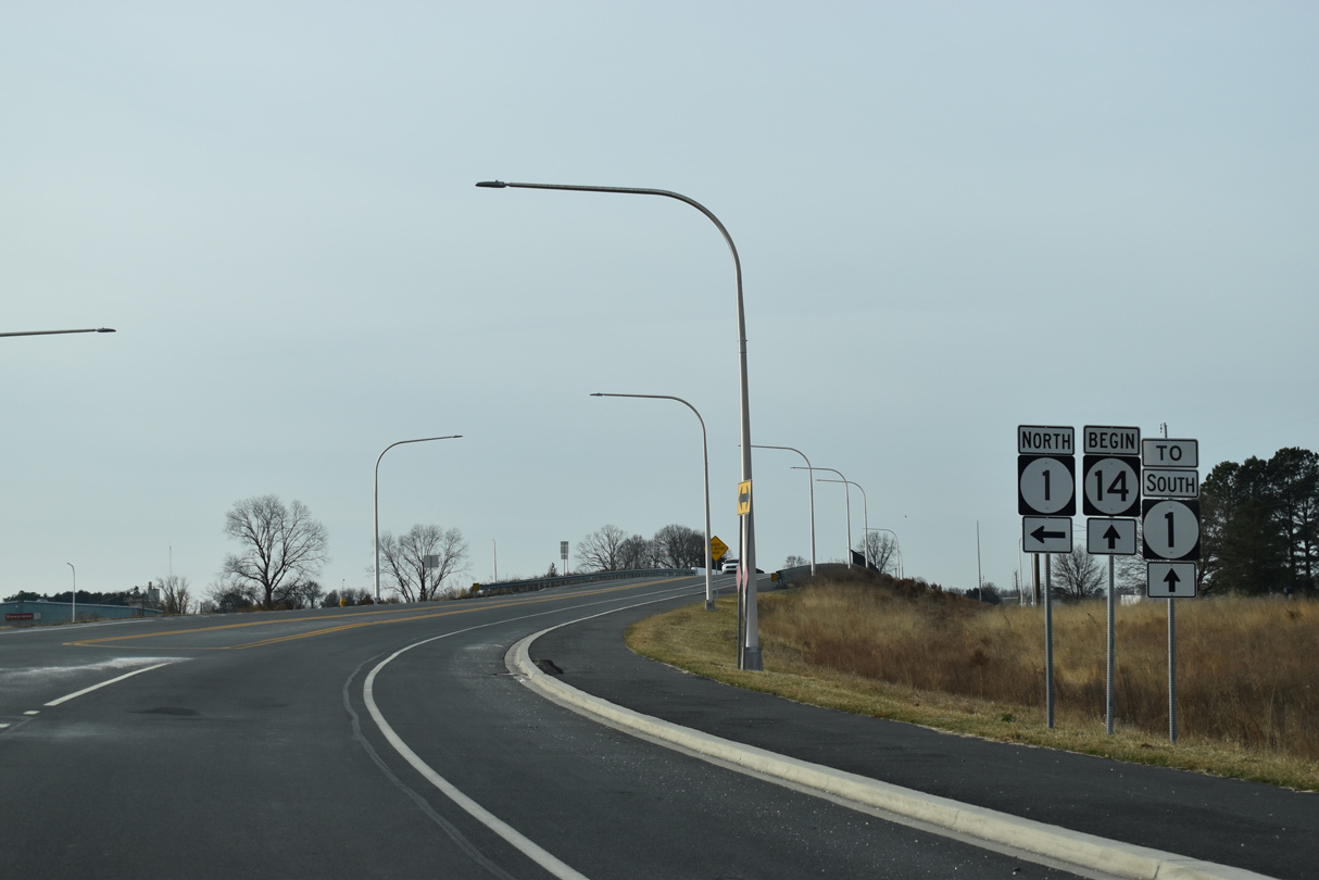
The grade separated intersection with SR 1 (Milford Bypass) was constructed in 2017-19. A begin shield was added for SR 14 west at the northbound entrance ramp to SR 1.
12/19/20
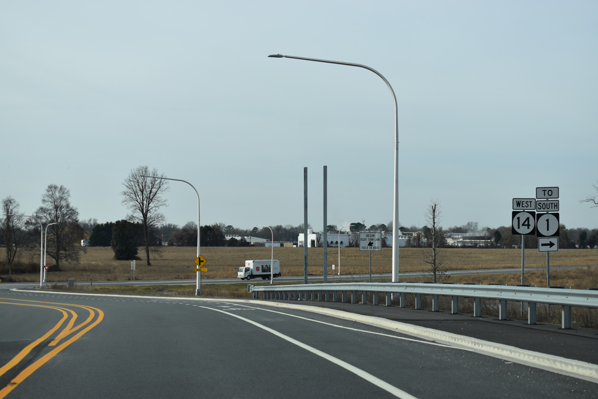
The loop ramp for SR 1 south to Lewes connects with Sillicato Parkway, a service road linking with NE 10th Street to the north.
12/19/20
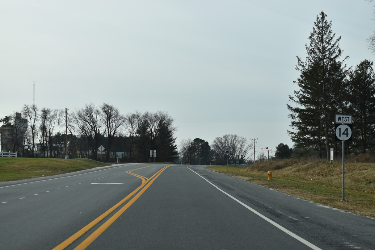
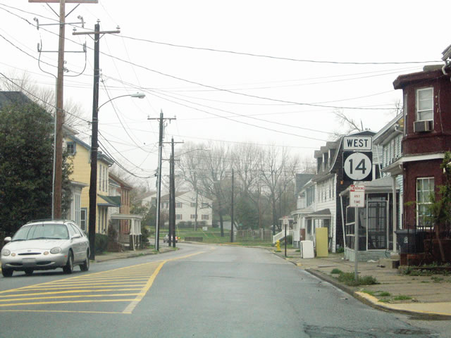
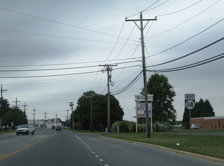
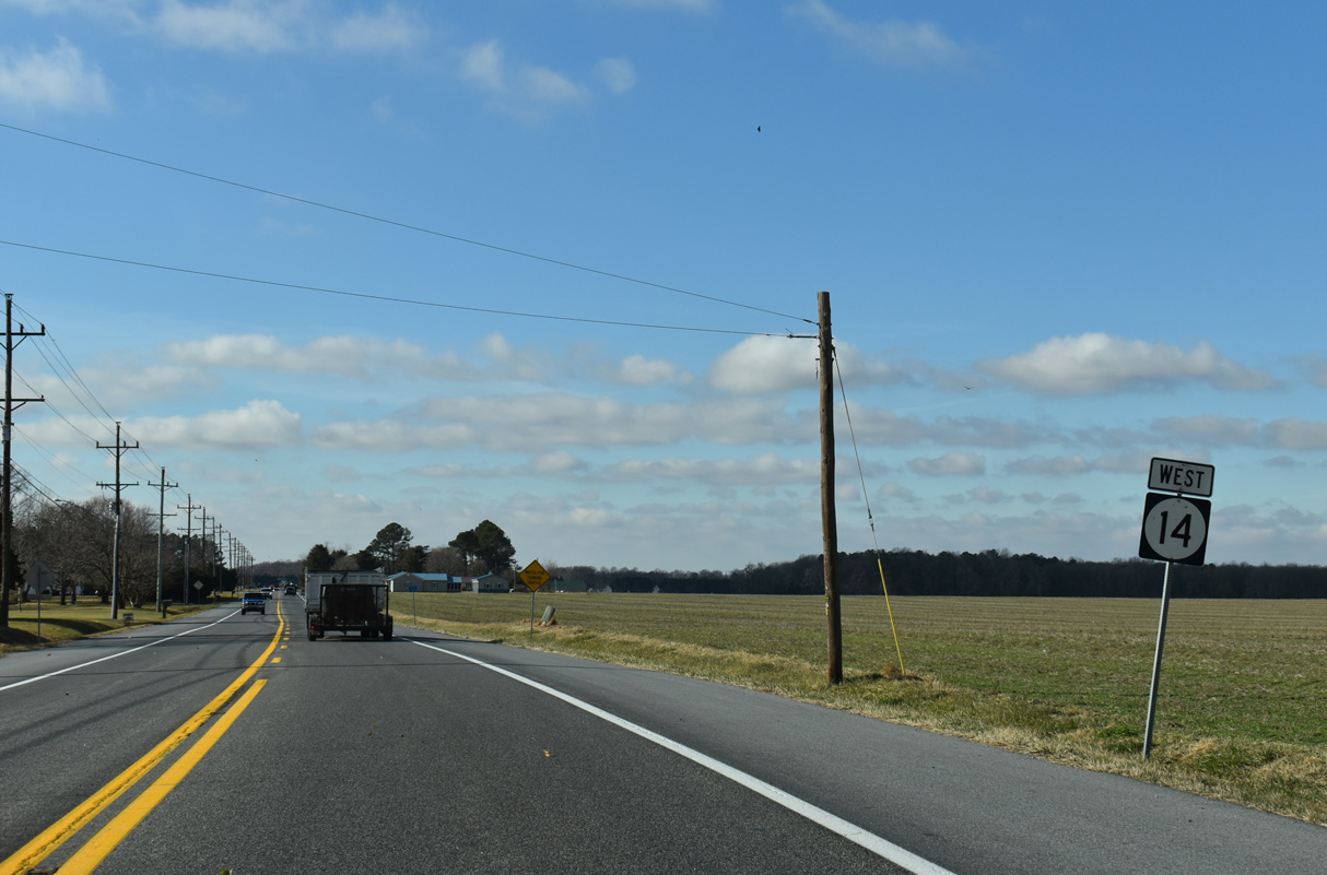
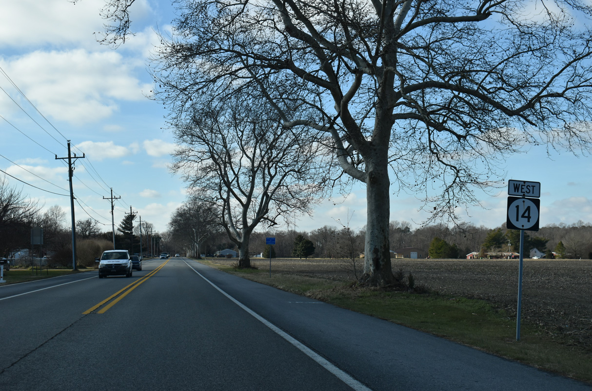
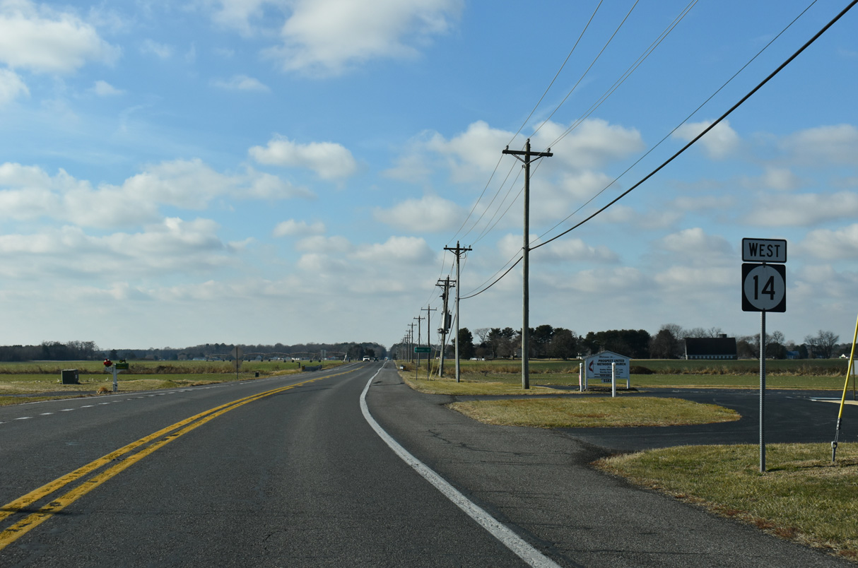
The first confirming marker for SR 14 west stands along the rural stretch of NE Front Street between SR 1 and Bowens Landing Road in Milford.
12/19/20
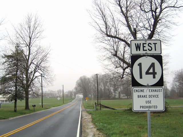
SR 14 (NE Front Street) west of SR 1 before construction of the exchange with the Milford Bypass.
04/13/04
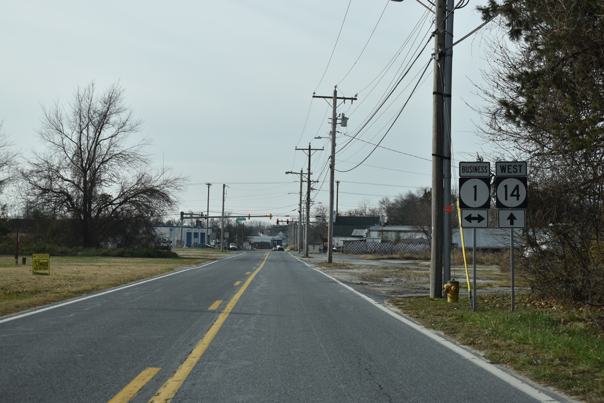
SR 14 (NE Front Street) meets SR 1 Business (Rehoboth Boulevard) 0.6 miles southwest from SR 1 in Milford.
12/19/20
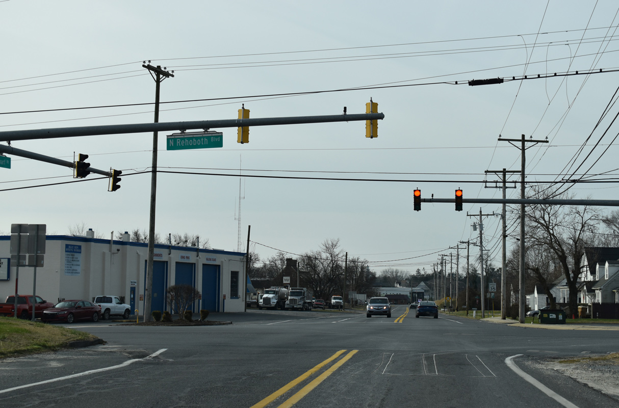
SR 1 Business crosses the Mispillion River south into the Sussex County nearby and runs 0.81 miles northwest to Walnut Street (Rd 20).
12/19/20

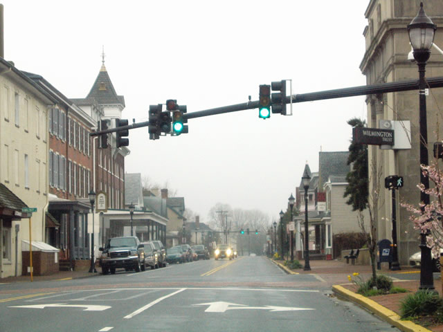
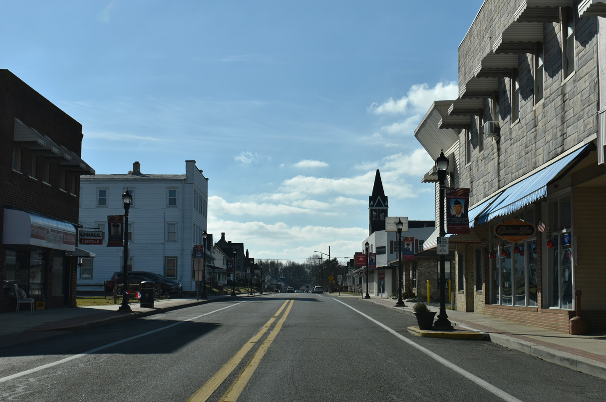
Back to back traffic lights operate along SR 14 (NE Front Street) west at Washington and Walnut Streets at Downtown Milford. Decorative street light and signal mast arm assemblies used along NE Front Street are similar to those found in Elsmere and Wilmington.
04/13/04
Walnut Street branches south from U.S. 113 (Dupont Boulevard) as SR 1 Business to Rehoboth Boulevard. The street predates U.S. 113 as the main north-south route through Milford and Lincoln.
04/13/04
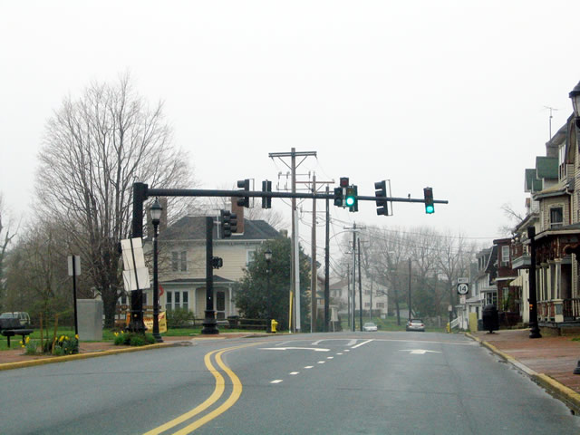
Church Street intersects SR 14 at the subsequent signal west of Downtown Milford. The street crosses the Mispillion River south to intersect SR 36 (Causey Avenue).
04/13/04
A reassurance marker for SR 14 west at Church Street was removed by 2012. Several of the adjacent houses were demolished by that time as well.
04/13/04
NW Front Street curves northwest by Silver Lake and next approaches U.S. 113 by The Plaza at Milford shopping center.
04/13/04
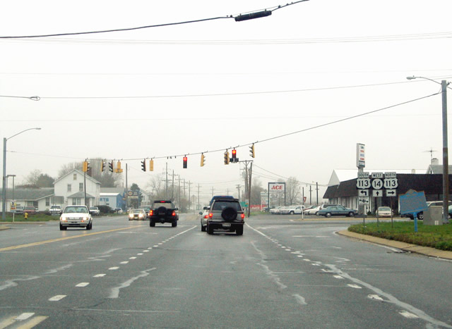
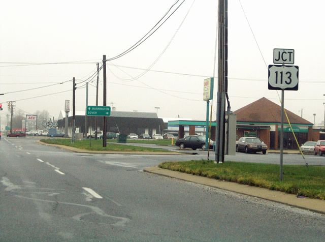
U.S. 113 and SR 14 come together at the south end of a commercial strip running along Dupont Boulevard to SR 1 (Milford Bypass). U.S. 113 formerly ran north to Dover, but was truncated to north Milford in 2004. The route south extends to Pocomoke City, Maryland.
04/13/04
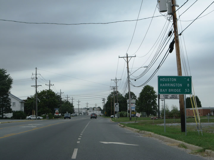
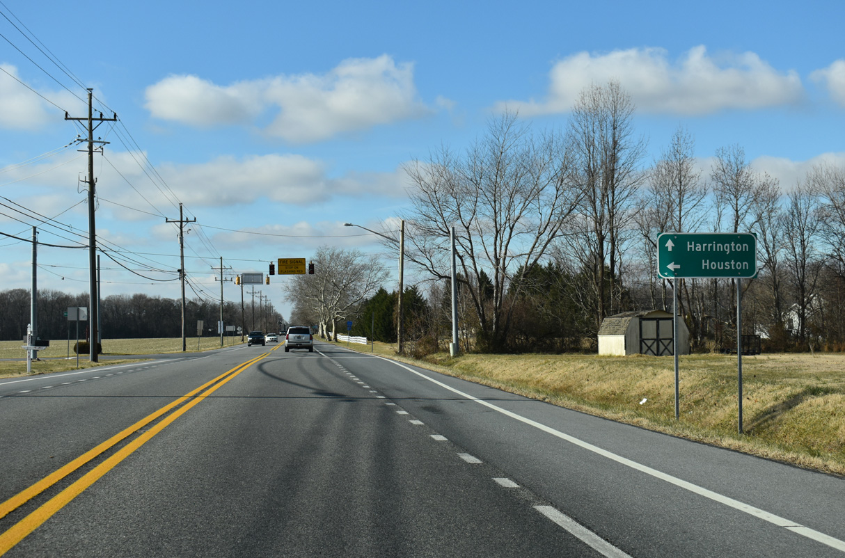
The small town of Houston lies four miles west of Milford via connecting roads, while SR 14 leads directly to Harrington in eight miles. The Chesapeake Bay Bridge (U.S. 50/301) is 53 miles away via MD 317, MD 313 and MD 404.
12/27/25
SR 14 transitions to Milford Harrington Highway west of U.S. 113.
12/27/25

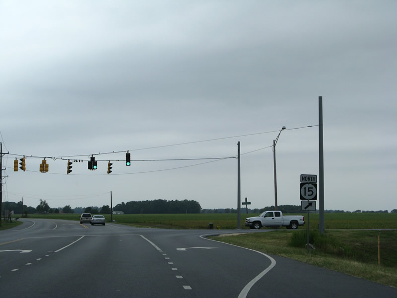
Advancing northwest, SR 14 (Milford Harrington Highway) intersects the south end of SR 15 (Canterbury Road) at Holly Hill Road.
12/27/25
SR 15 runs ten miles northwest to the community of Canterbury and 12 miles to the town of Woodside.
12/27/25

Overall SR 15 measures 57 miles in length between SR 14 and SR 71/896 at the Summit Bridge in western New Castle County.
12/27/25
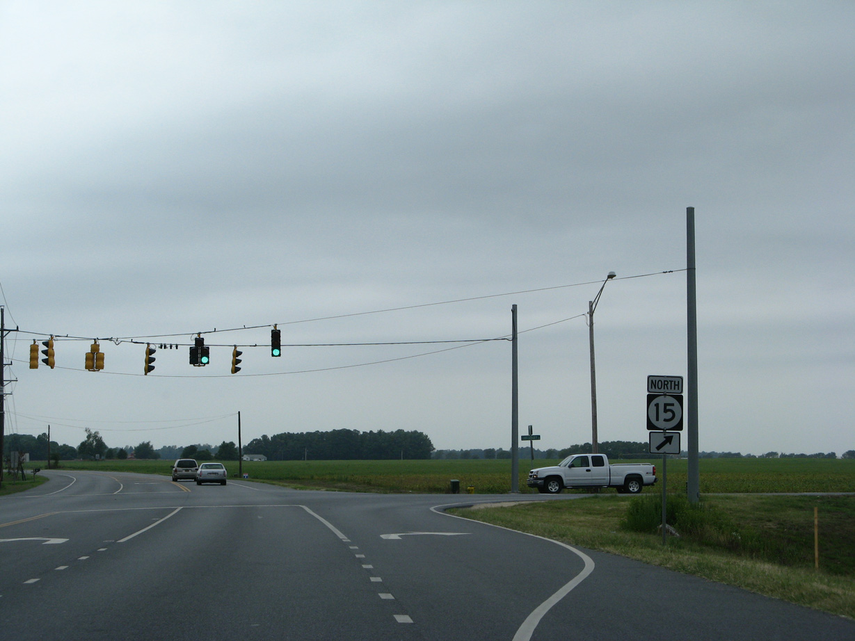
SR 14 (Milford Harrington Highway) west at SR 15 (Canteberry) prior to development of the Milford Corporate Center.
08/05/07
A ground breaking ceremony at the 182-acre site for the Milford Corporate Center took place on March 4, 2025. The former Fry family farm was purchased by the city of Milford for the project in 2021 for $6.38 million (Antonik, 2025).
12/27/25
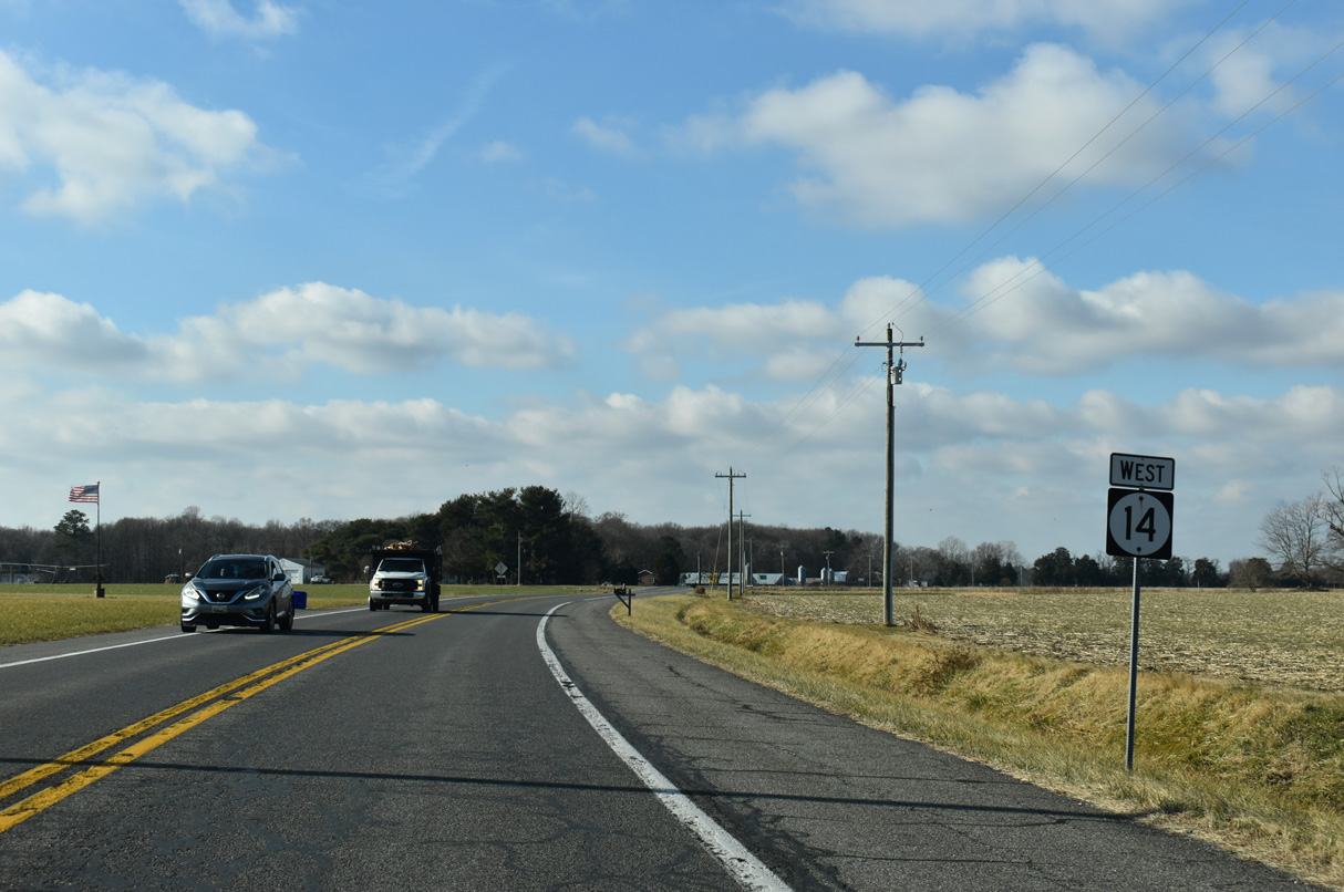
SR 14 (Milford Harrington Highway) leaves the city of Milford at Church Hill Road ahead of Church Hill Village and this reassurance marker posted after Sandbox Road (Rd 398).
12/27/25
Broad Street (Rd 37) connects SR 14 with Front Street in the town of Houston, 0.83 miles to the south.
12/27/25
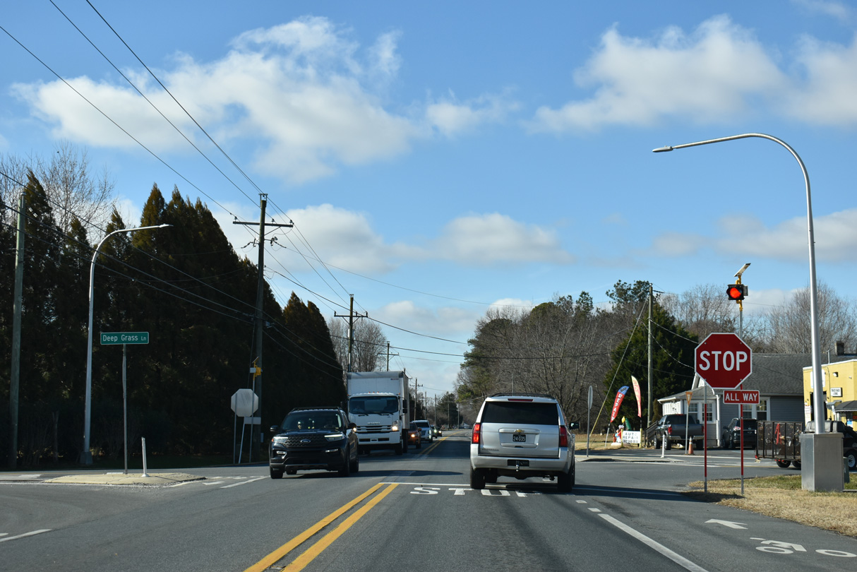
Deep Grass Lane (Rd 384) intersects SR 14 at Marvels Crossroads to the northwest of Houston. Killens Pond Road extends Rd 384 north from Deep Grass Lane and SR 14 to Killens Pond State Park.
12/27/25
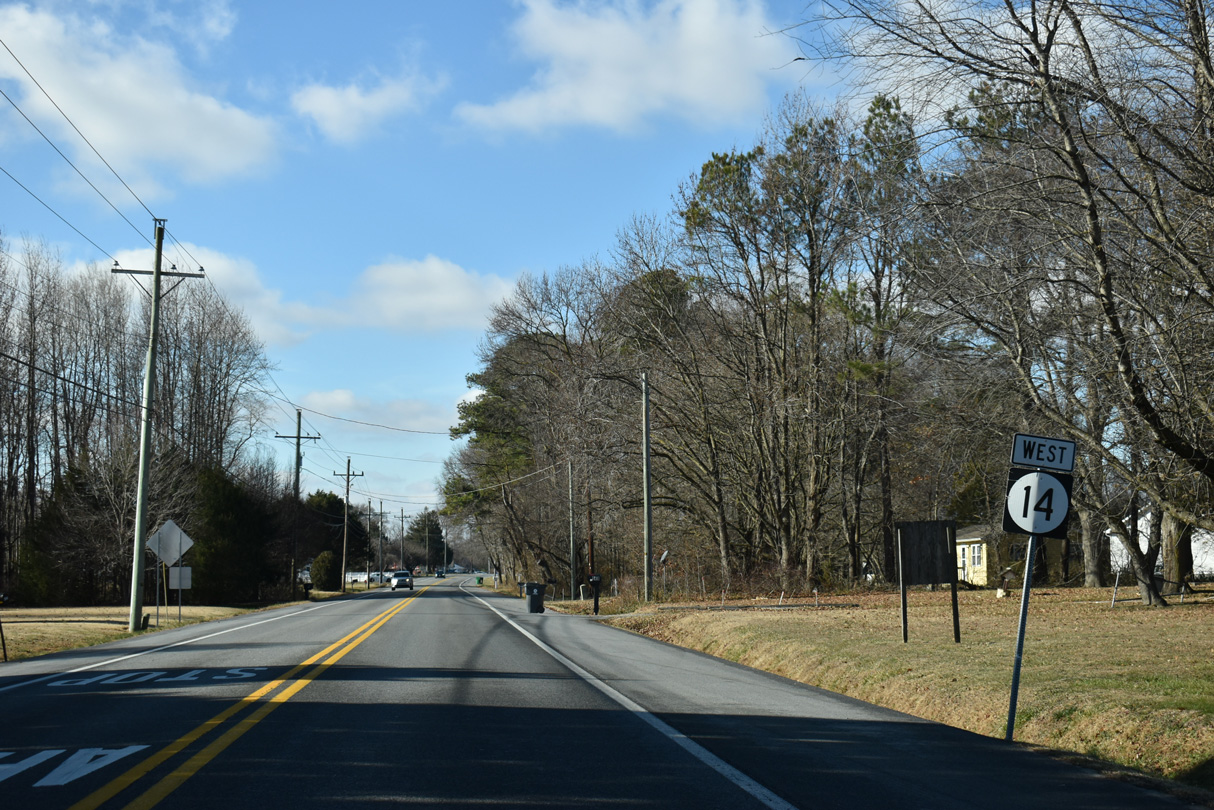
Reassurance marker for SR 14 posted west of the stop sign at Deep Grass Lane south and Killens Pond Road north.
12/27/25
SR 14 west of Butler Road (Rd 429) south and Old Airport Road (Rd 429) north.
12/27/25
Running 0.61 miles west from Butler Road, Doctor Smith Road (Rd 431) converges with SR 14 (Milford Harrington Highway) west ahead of this reassurance shield.
12/27/25
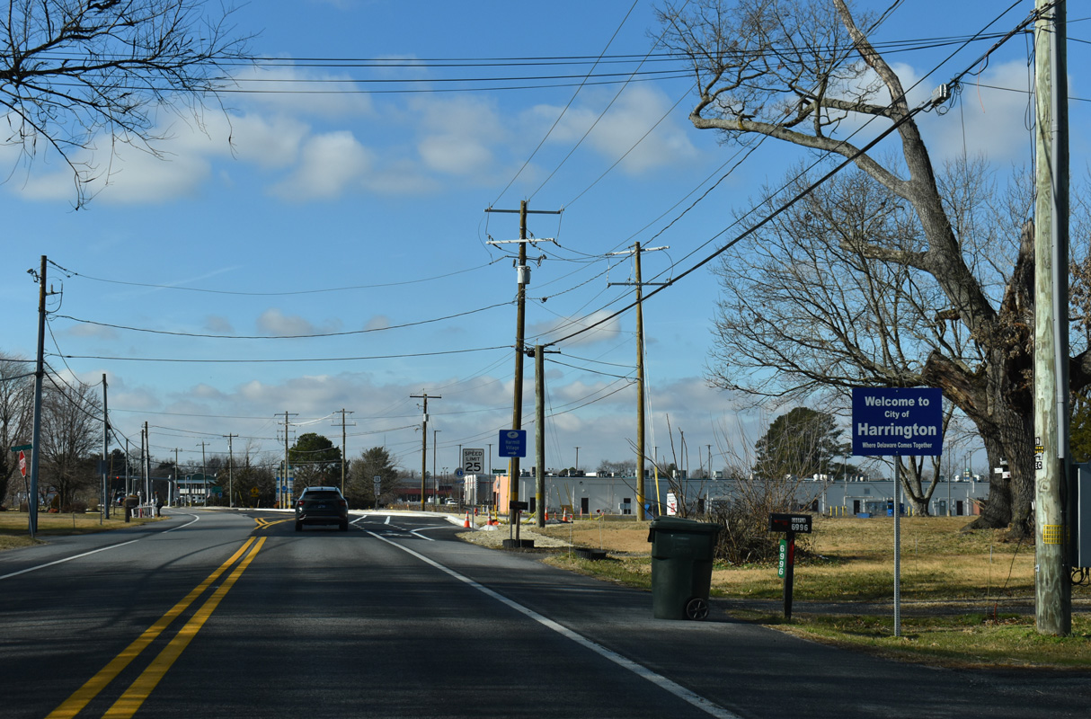
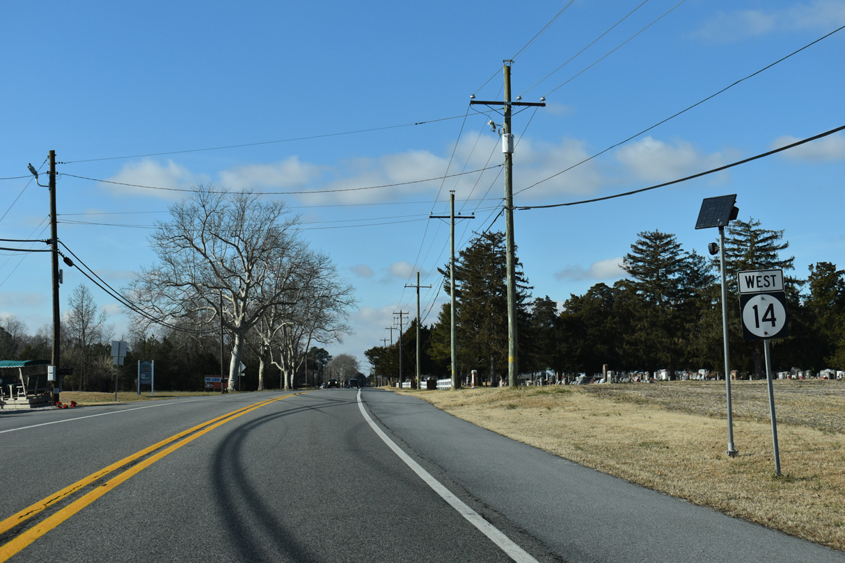
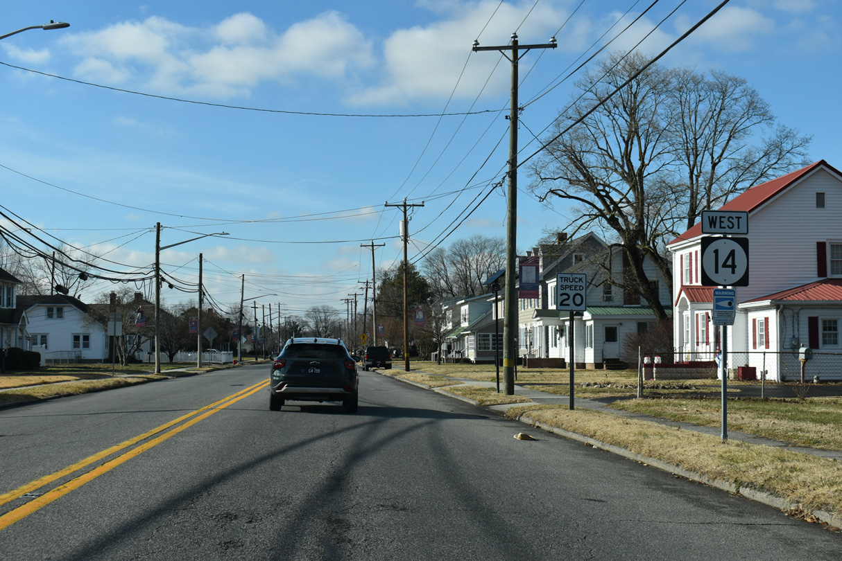
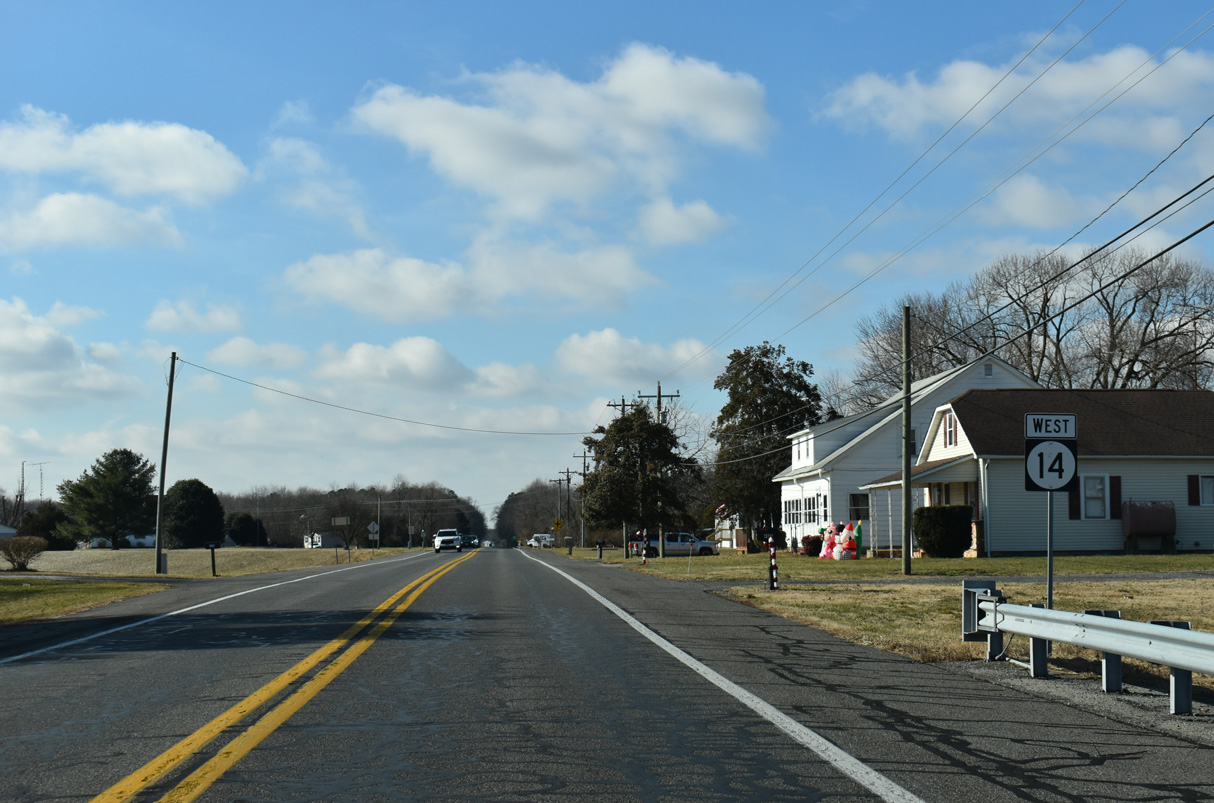
The speed limit along SR 14 reduces to 25 miles per hour where Milford Harrington Highway west enters the city of Harrington.
12/27/25
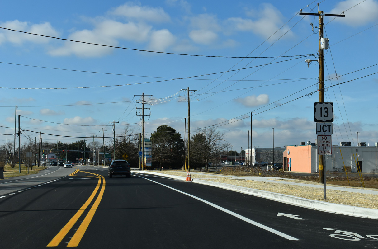
SR 14 intersects U.S. 13 (Dupont Highway) just inside Harrington by Harrington Midway Park Center retail plaza.
12/27/25
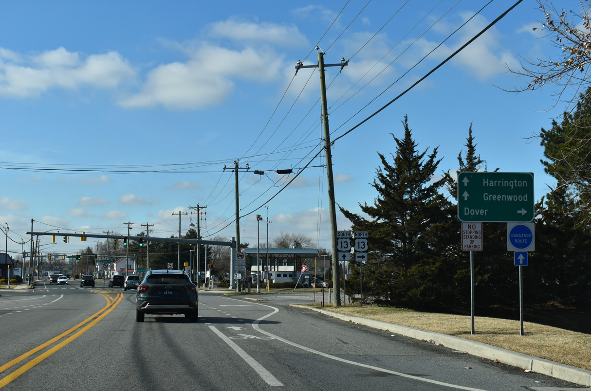
U.S. 13 (Dupont Highway) travels north from Harrington to Woodside, Camden and the Delaware capital city of Dover.
12/27/25
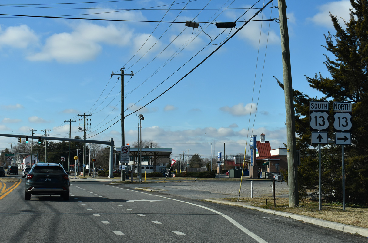
Through Harrington, U.S. 13 partitions into a couplet with businesses occupying space between the north and southbound roadways.
12/27/25
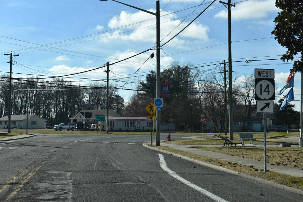
A Truck Route for SR 14 circumvents Downtown Harrington along a combination of U.S. 13 south, Tower Hill Road west and Farmington Road north. Signage posted on SR 14 west includes incorrect TO banners, since SR 14 Truck actually overlaps with U.S. 13.
12/27/25
South into Sussex County, U.S. 13 joins Harrington with Greenwood, Bridgeville, Seaford, Laurel and Delmar.
12/27/25
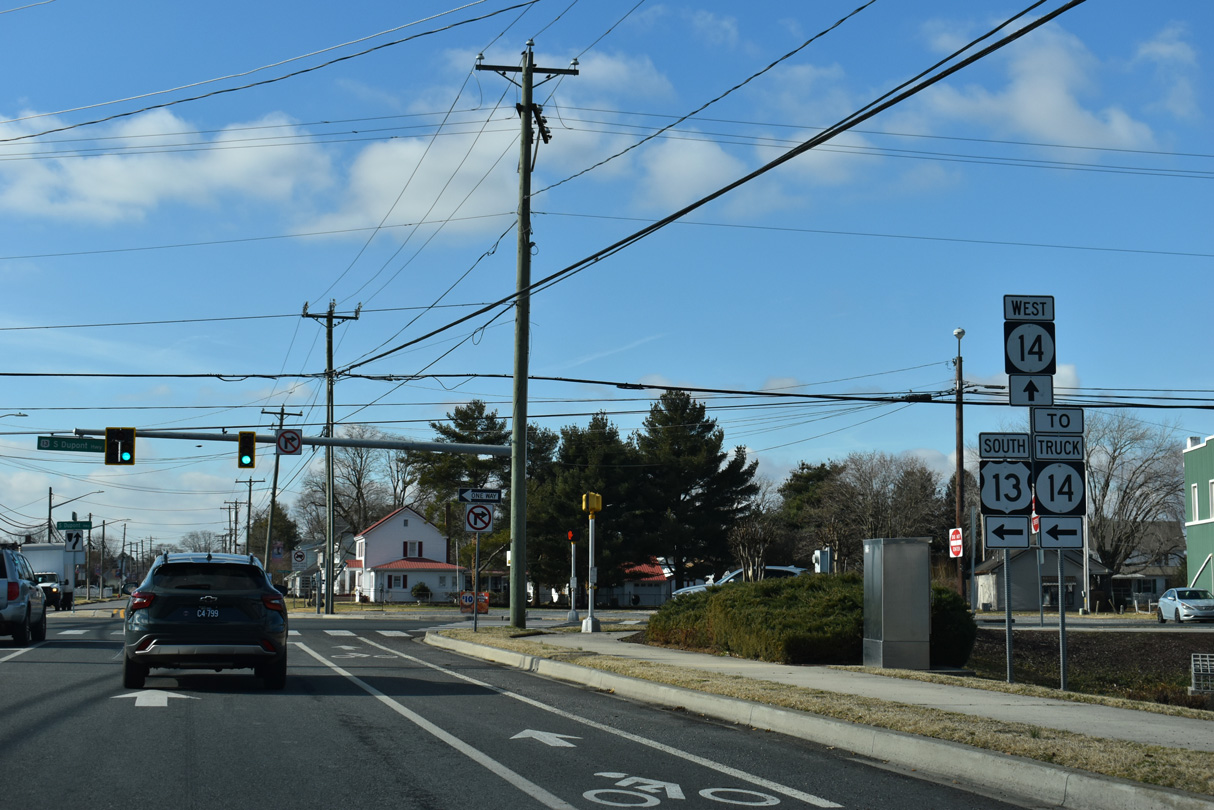
U.S. 13 joins Hampton Roads, Virginia with Salisbury, Maryland and Wilmington, Delaware.
12/27/25
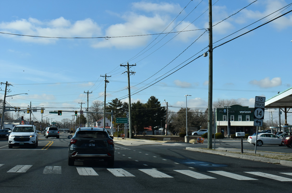
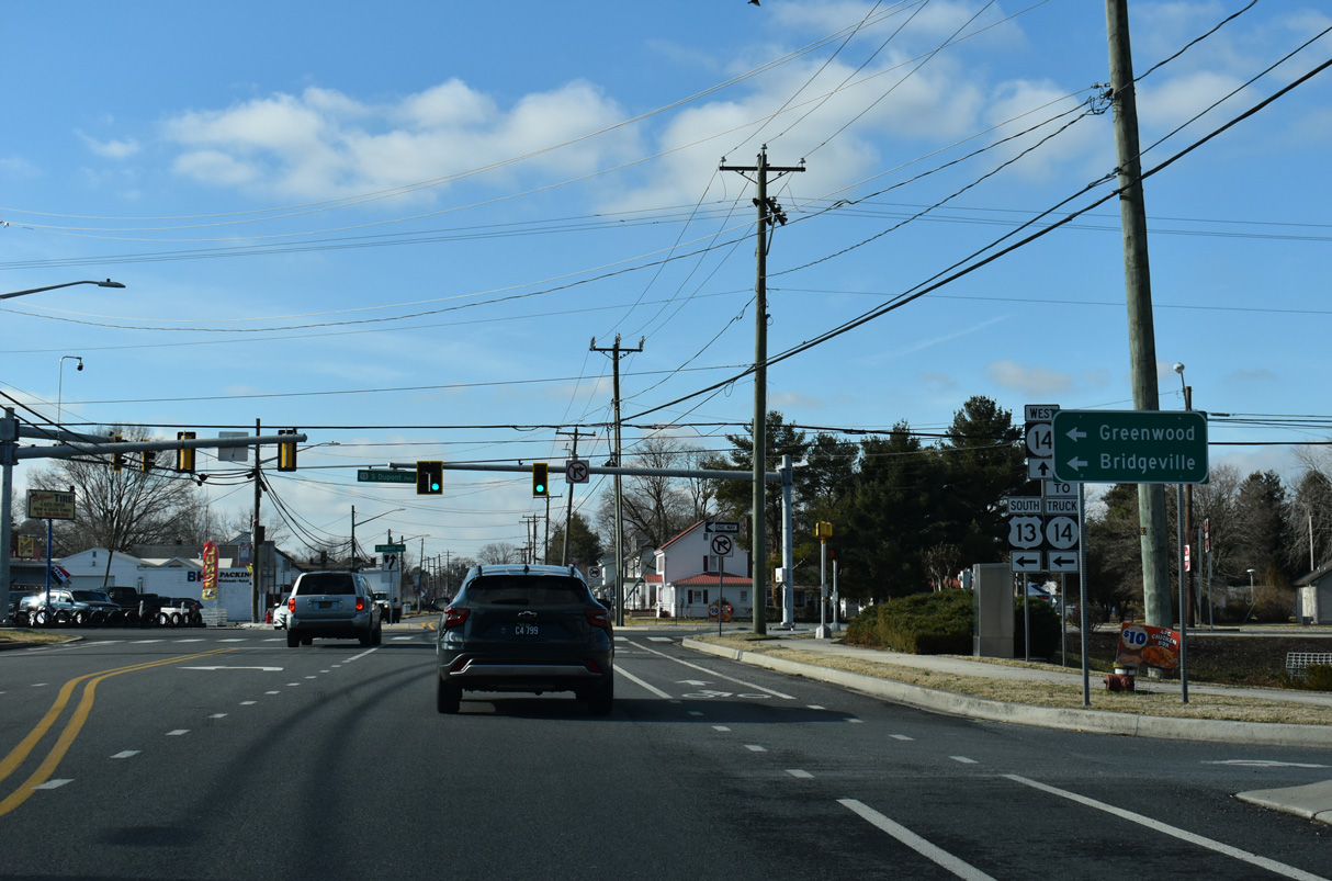
SR 14 continues west from U.S. 13 (Dupont Highway) along Clark Street into the Harrington residential street grid.
12/27/25
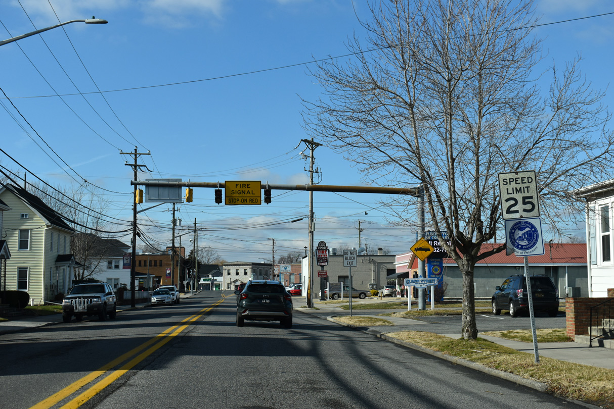
Clark Street west ahead of Ward Street and Downtown Harrington.
12/27/25
An at-grade crossing with the Norfolk Southern Railroad line precedes the turn of SR 14 westbound from Clark Street onto Commerce Street.
12/27/25
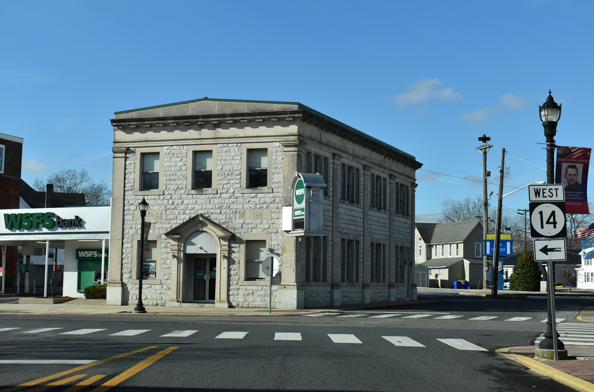
Commerce Street south at Dorman Street in Downtown Harrington.
12/27/25
SR 14 curves west onto Walt Messick Road from Commerce Street at West Street and Farmington Road in Harrington.
12/27/25
Part of SR 14 Truck south for 1.52 miles to Tower Hill Road (Rd 315), Farmington Road (Rd 314) heads 3.51 miles south from SR 14 to Main Street in the small town of Farmington.
12/27/25
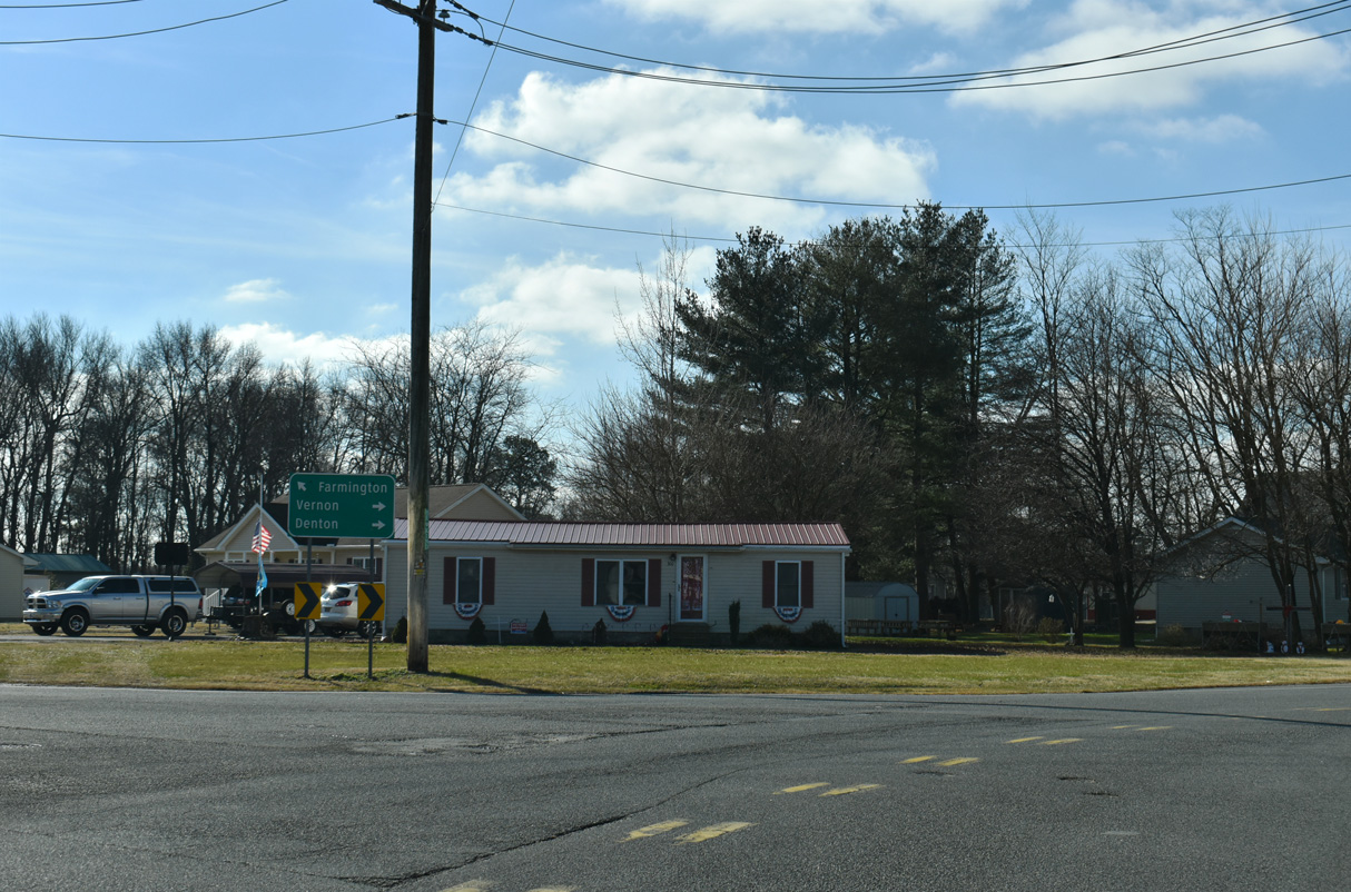
Whiteleysburg Road (Rd 59) branches 7.91 miles west from SR 14 (Vernon Road) to SR 12 and MD 314 at the rural settlement of Whiteleysburg on the state line.
12/27/25
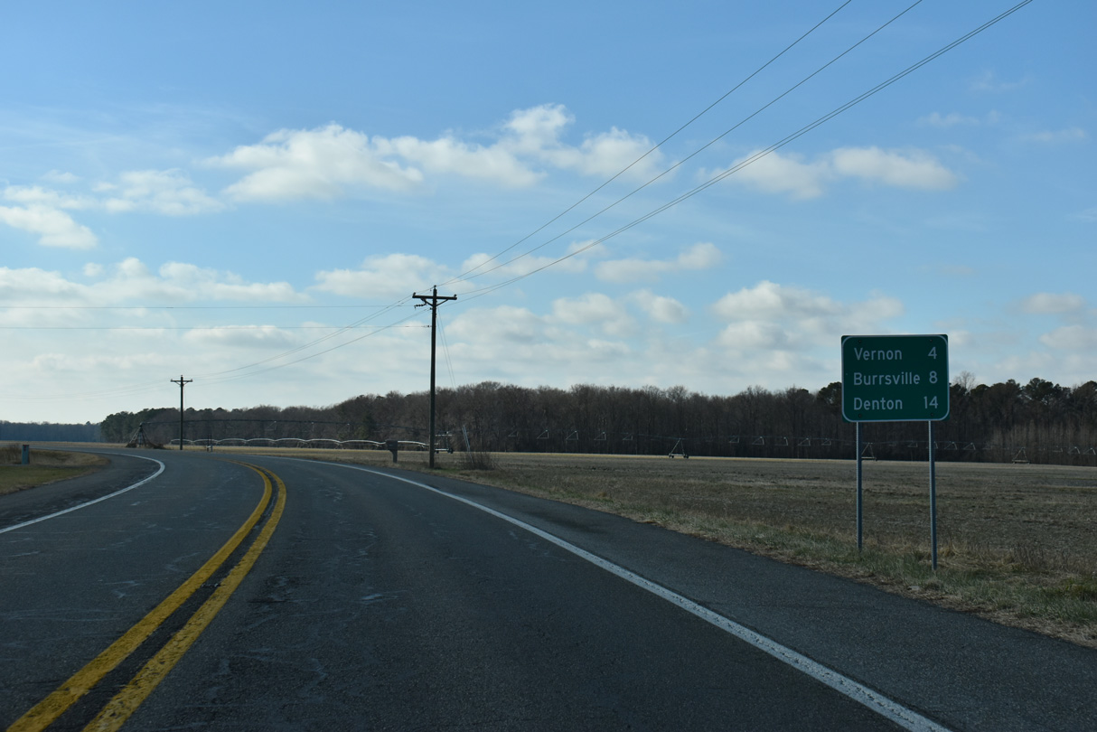
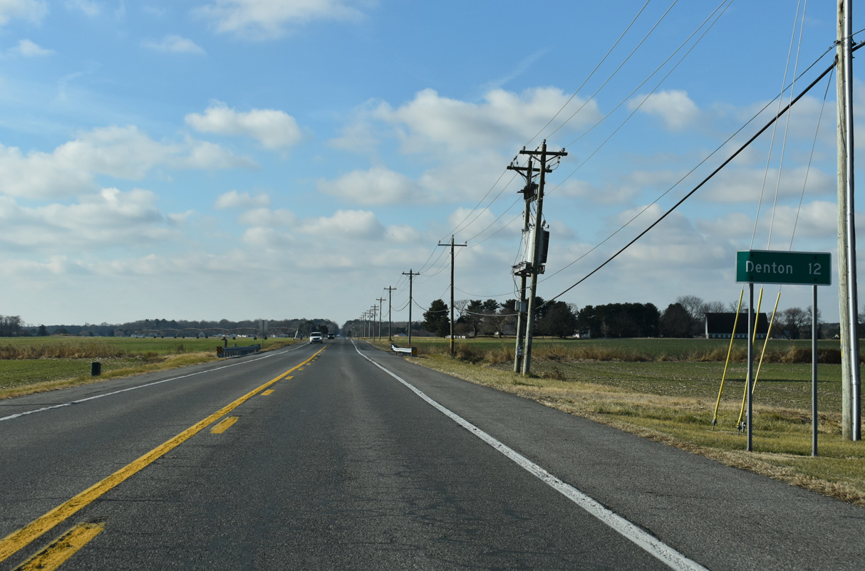
Vernon lies midway between Harrington and Burrsville on the Maryland state line. The Caroline County seat of Denton is 14 miles away via SR 14, MD 317 and MD 313 south.
12/27/25
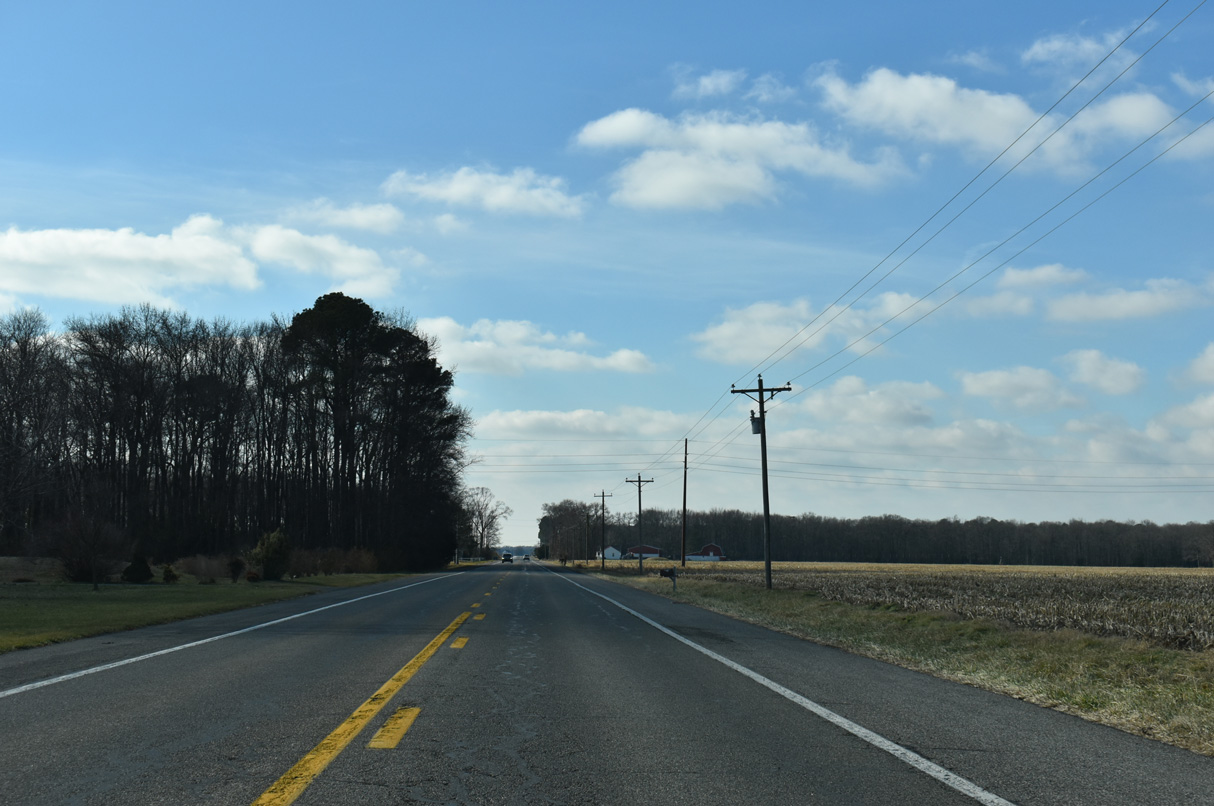
SR 14 (Vernon Road) travels by agricultural areas and timberland for the remaining miles west to the Maryland line.
12/27/25
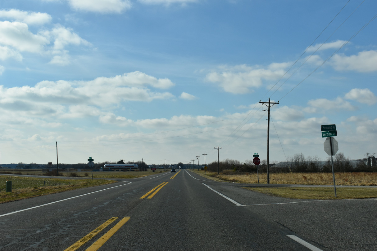
Hemping Road (Rd 299) and Cornish Road (Rd 300) meet SR 14 at succeeding intersections from the north.
12/27/25
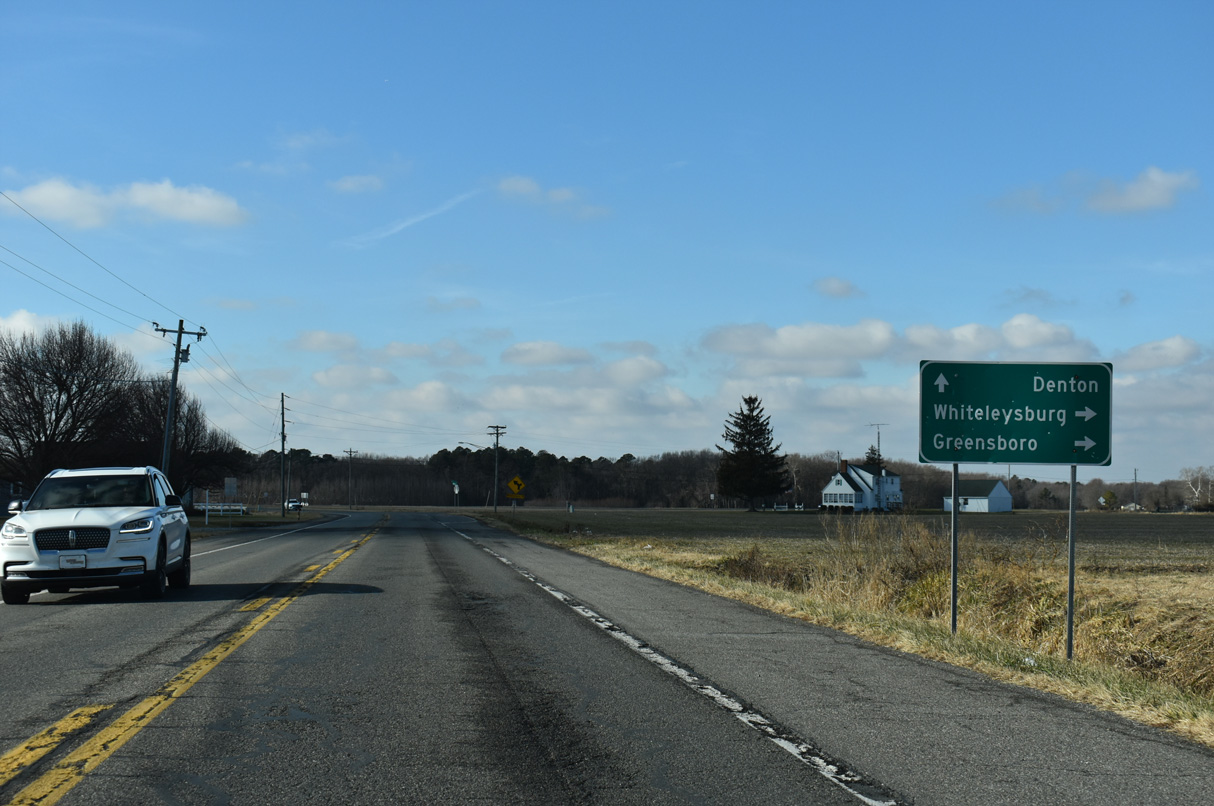
SR 14 west of Prospect Church Road (Rd 114). Prospect Church Road runs 5.68 miles south to SR 16 (Hickman Road) via Andrewsville.
12/27/25
Denton, Maryland is 11.5 miles to the west of SR 14 at Prospect Church Road.
12/27/25
Crossing Marshyhope Creek, SR 14 (Vernon Road) west reaches the rural community of Vernon.
12/27/25
Fox Hunters Road (Rd 455) heads 2.93 miles south from Whiteleysburg Road to SR 14 at Vernon ahead of this west reassurance marker.
12/27/25

SR 14 (Vernon Road) west at Andrewville Road (Rd 304) south and Drapers Corners Road (Rd 298) north.
12/27/25
Greenville Road (Rd 305) heads 0.73 miles west from Andrewville Road and the settlement of Greenville to SR 14 (Vernon Road) ahead of this westbound shield assembly.
12/27/25
SR 14 (Vernon Road) west at Cattail Branch Road (Rd 113) south.
12/27/25
Reassurance marker posted west of Welch Road (Rd 297) north to Layton Corners.
12/27/25
Parker Road (Rd 301) arcs 2.41 miles southwest from SR 14 to Taber State Forest and the Maryland state line ahead of this shield.
12/27/25
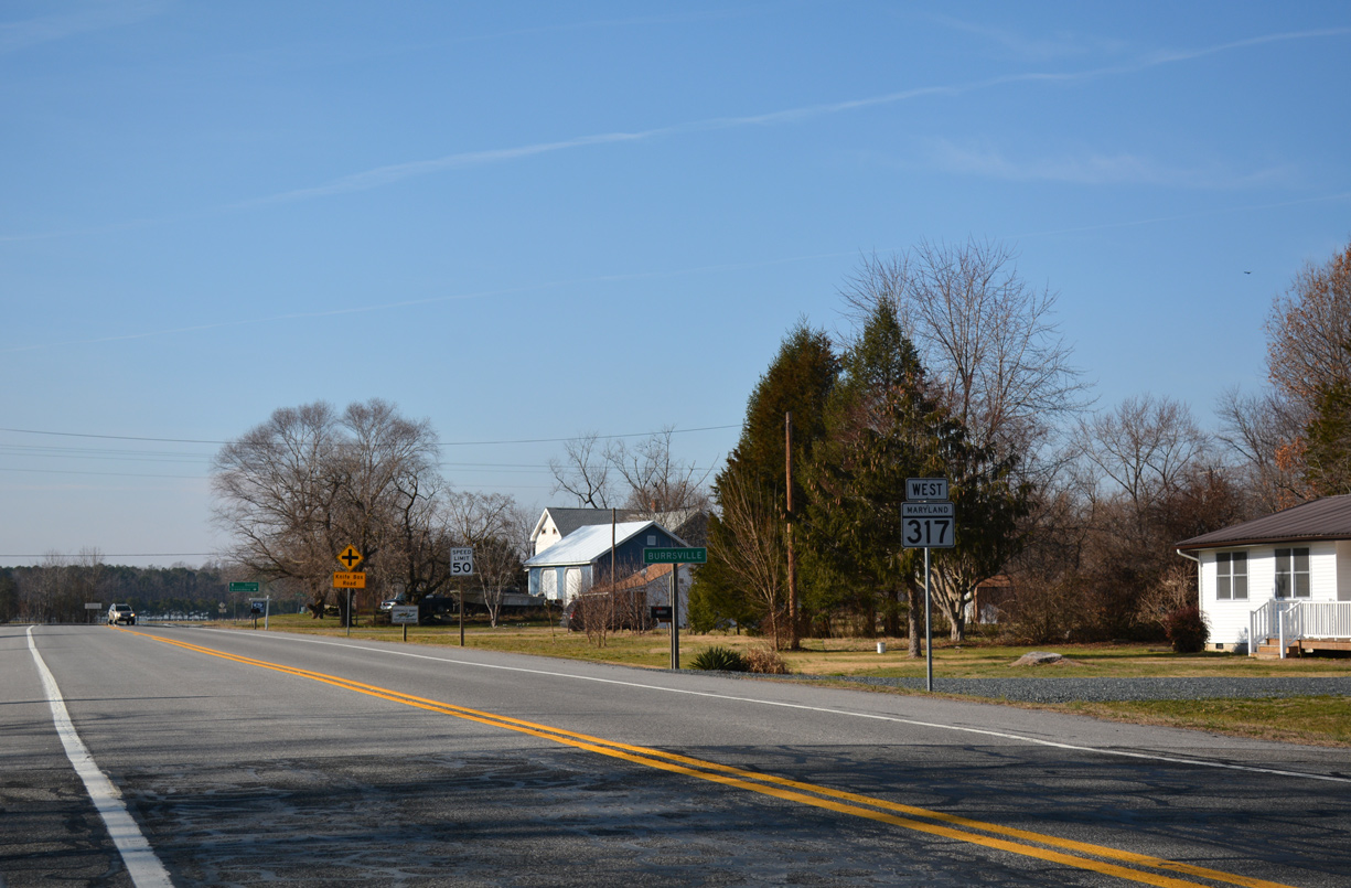
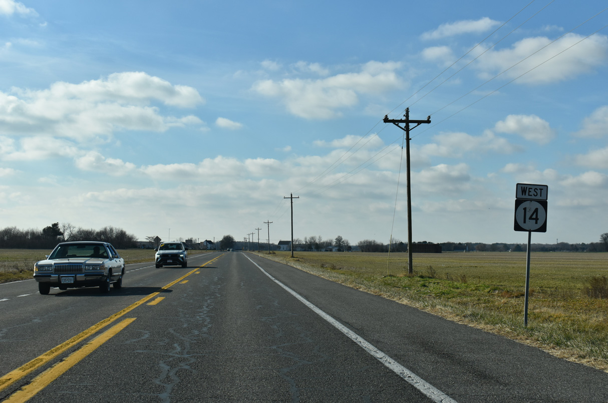
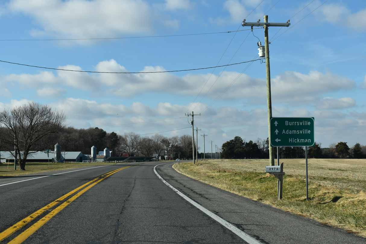
SR 14 (Vernon Road) transitions to MD 317 (Burrsville Road) across the state line at Burrsville.
01/15/17
References:
Antonik, J. (2025, March 5). Leaders break ground on Milford Corporate Center. Delaware Business Times. https://delawarebusinesstimes.com/news/milford-corporate-center/
Photo Credits:
- Alex Nitzman: 04/13/04, 01/15/17, 12/19/20, 12/27/25
- AARoads: 08/05/07, 12/27/25
Connect with:
Page Updated Wednesday January 14, 2026.