
State Route 17

SR 17 angles northeast from SR 54 (Main Street) in Selbyville along a rural course to Roxana and Clarksville. No signs are posted in the southbound direction of the route as of January 2017.
SR 17 was designated by 1936 to connect U.S. 113 and Selbyville with the Delaware coastline at Bethany Beach via the connection with SR 26 east. The state route dog legged east from U.S. 113 (Dupont Boulevard) along Church Street east and Main Street south to Bethany Road until at least 1968, when SR 32 was created east from Gumboro to Fenwick Island. SR 32 became SR 54 a year later, and sometime after wards the Church Street alignment of SR 17 was decommissioned.
Delaware State Route 17 - 2015 Annual Average Daily Traffic (AADT)
- 3,076 - SR 54 to northeast Selbyville limits
- 3,270 - northeast Selbyville limits to Zion Church Road (Road 382)
- 3,466 - Zion Church Road to Daisey Road (Road 370)
- 4,500 - Daisey Road to SR 26
 North
North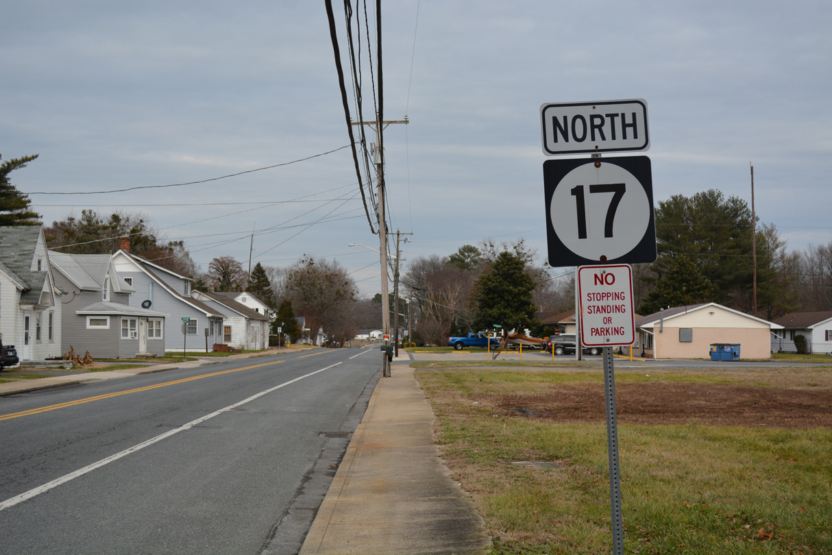
A confirming marker for SR 17 stands just north of SR 54 (Main Street) on Bethel Road in Shelbyville. This is the lone shield posted on the SR 17 mainline in either direction.
01/16/17
South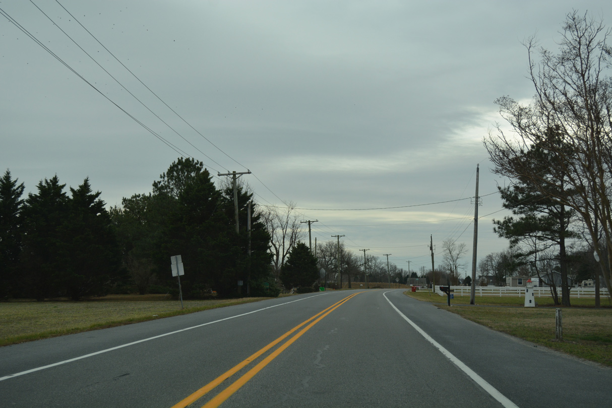
SR 17 (Roxana Road) begins and heads south along Roxana Road along the west side of the Millview town limits. The route is unmarked southbound.
01/16/17
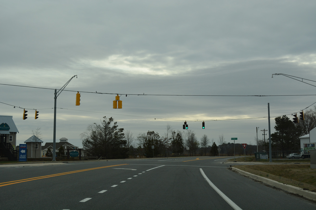
A set of flashers at Burbage Road was upgraded to a fully signalized intersection in 2016. Burbage Road leads west through agricultural areas toward Omar and east to an array of subdivisions in Millville.
01/16/17
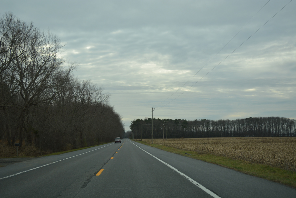
Roxana Road continues through rural areas of southwest Millville to Peppers Corner Road.
01/16/17
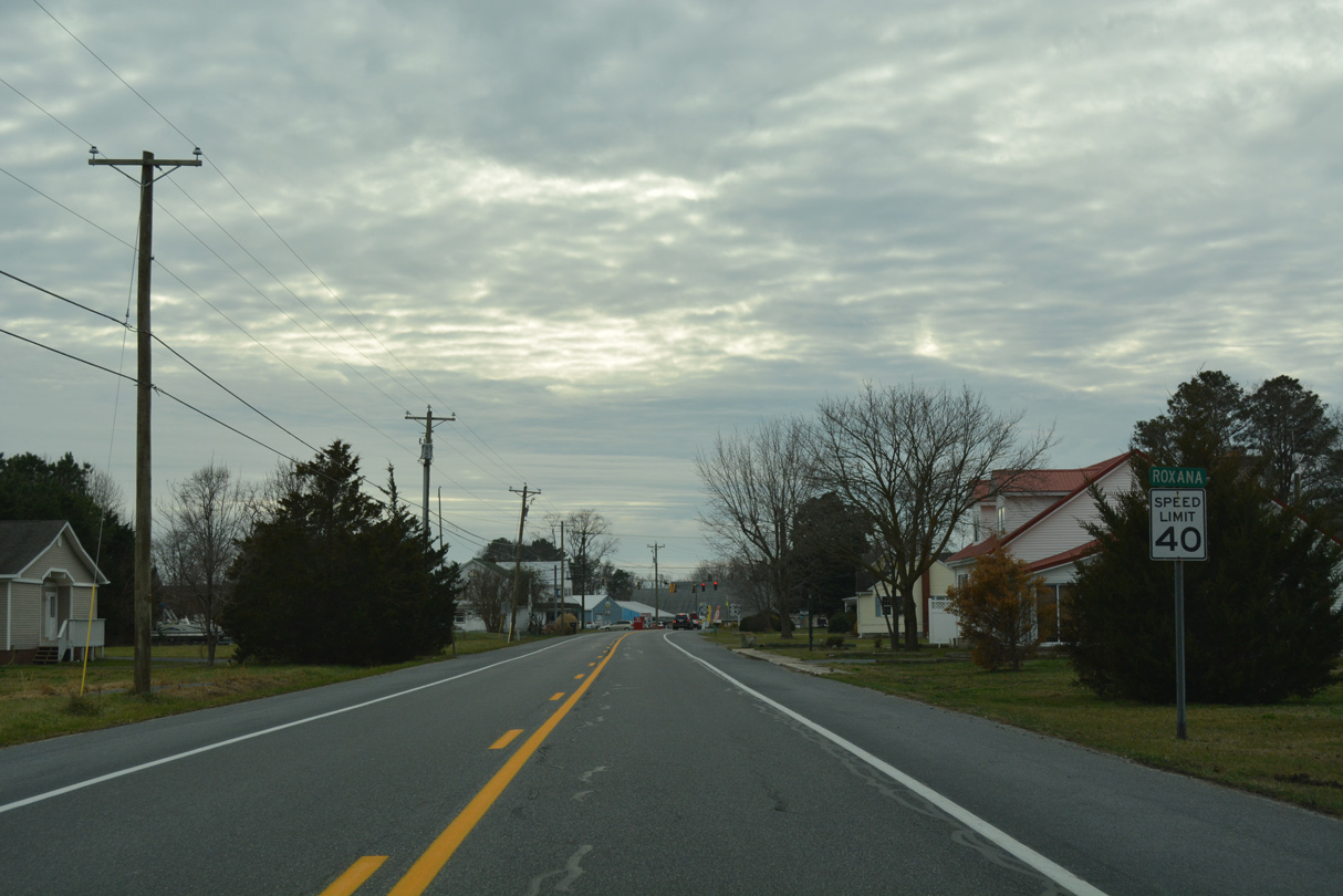
SR 17 enters the community of Roxana midway between Millville and Selbyville.
01/16/17
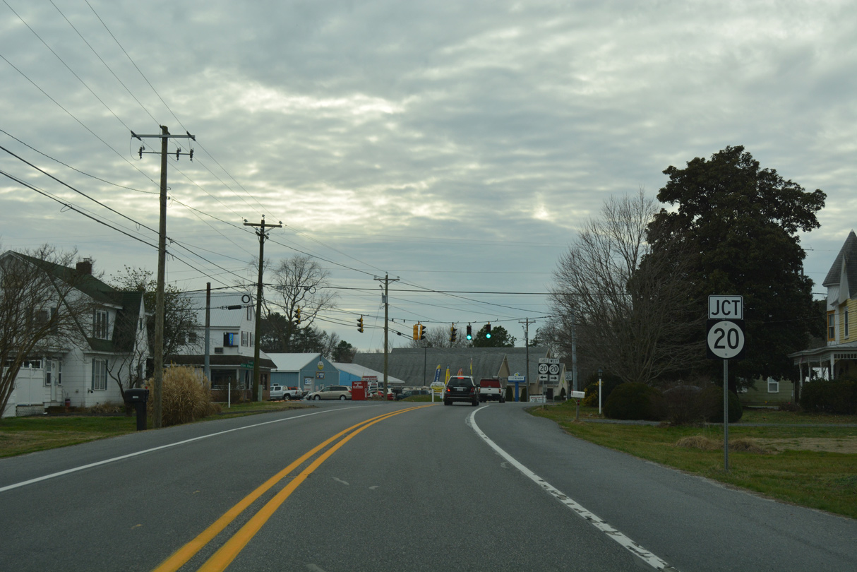
SR 20 crosses paths with SR 17 at Roxana. The state route travels northwest along Pyle Center Road to Dagsboro.
01/16/17

Southeast from SR 17 and Roxana, SR 20 follows Zion Church Road to Johnson and SR 54. The state route ends at Fenwick Island to the east and at Reliance, Maryland to the west.
01/16/17
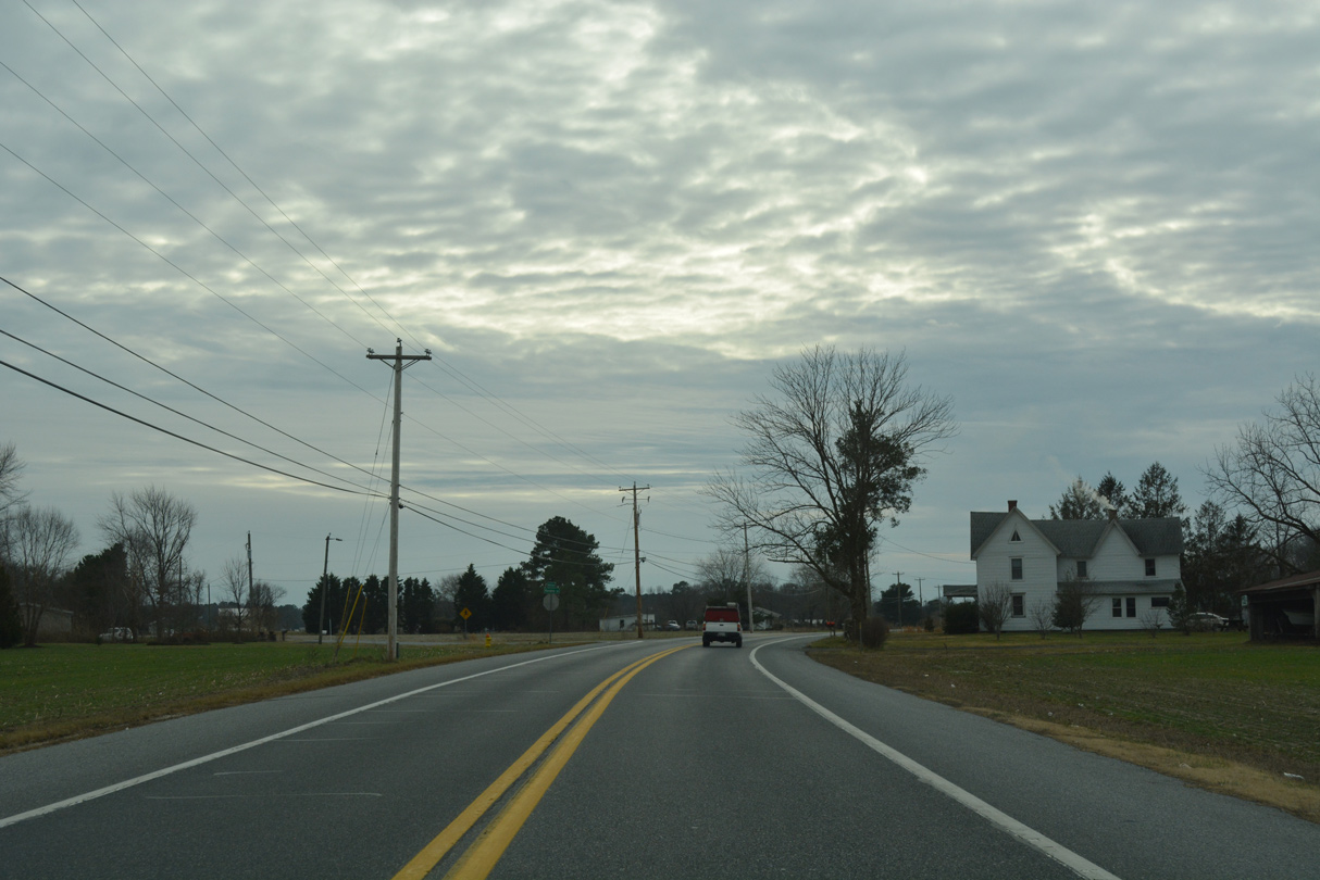
SR 17 (Roxana Road) south resumes through farm land to the northern limits of Selbyville.
01/16/17
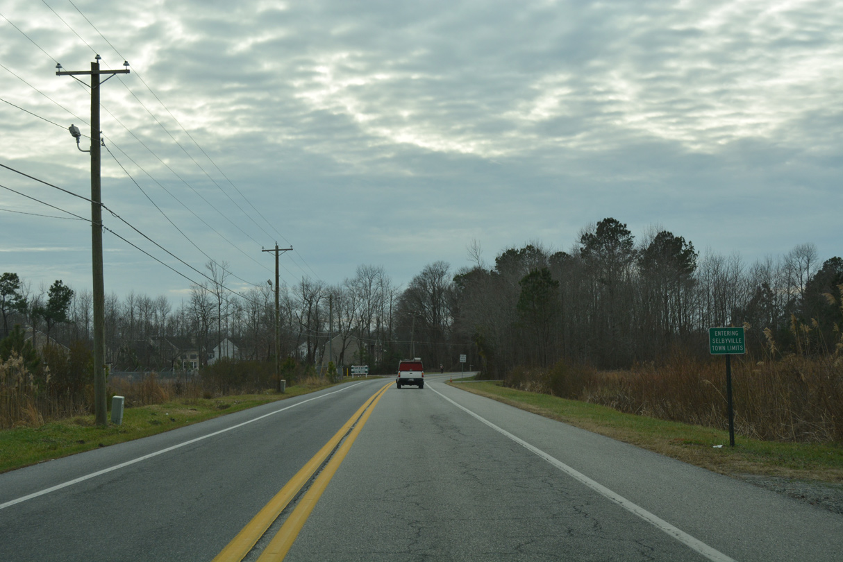
Roxana Road becomes Bethany Road south of Polly Branch Road as it enters central Selbyville. The Victoria Forest subdivision and a middle school follow along SR 17 south.
01/16/17
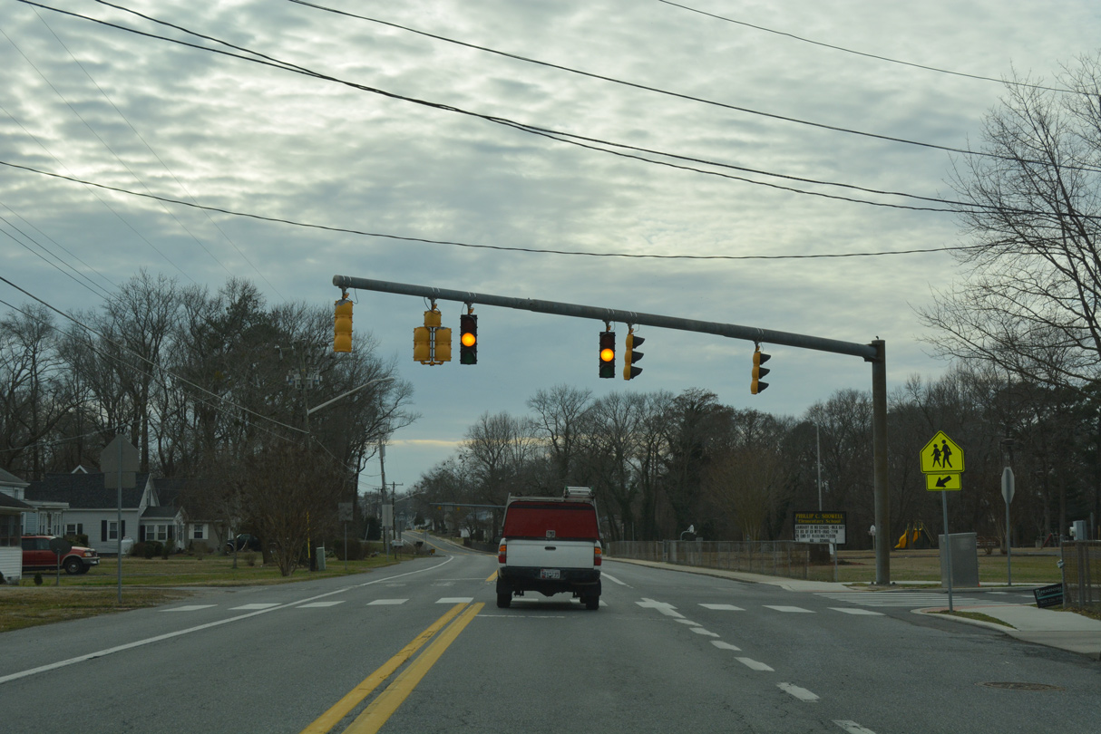
Speed limits reduce to 25 miles per hour as SR 17 (Bethel Road) continues through Selbyville by Phillip C. Showell Elementary School.
01/16/17
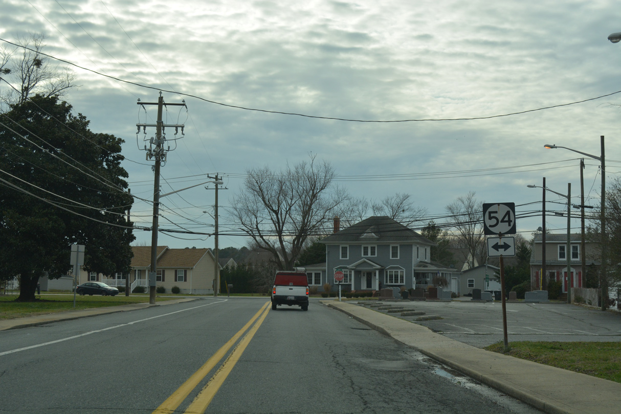
SR 17 (Bethel Road) concludes at SR 54 (Main Street) within the Shelbyville street grid. The state route used to turn north along Main Street to Church Street west through the Shelbyville business district.
01/16/17
Photo Credits:
- Alex Nitzman: 01/16/17
Connect with:
Page Updated Tuesday January 31, 2017.