
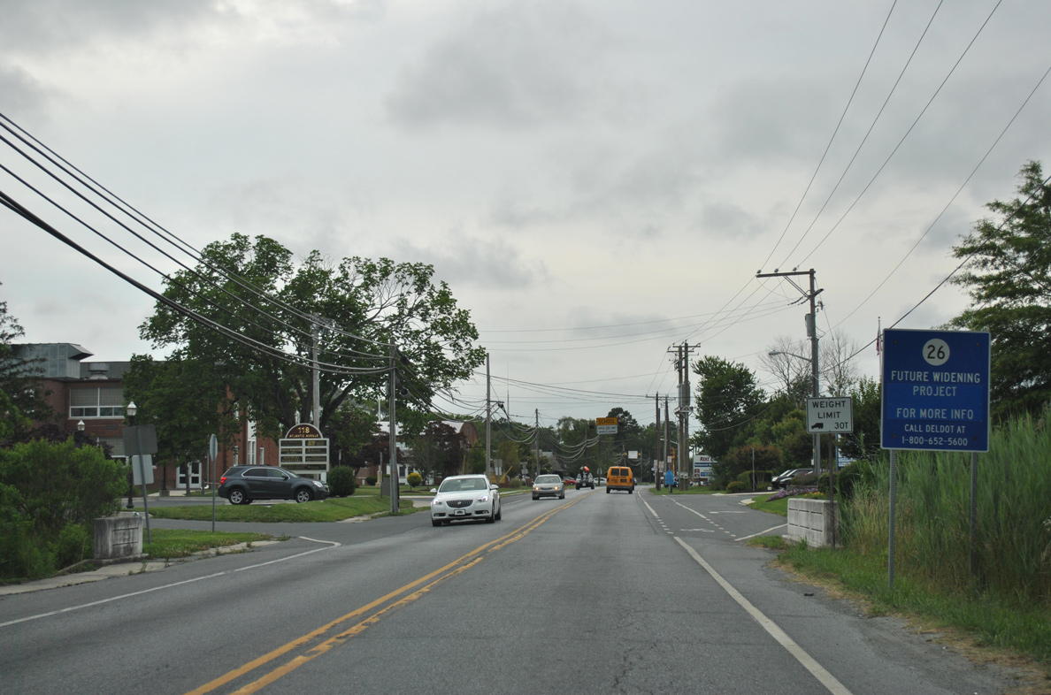
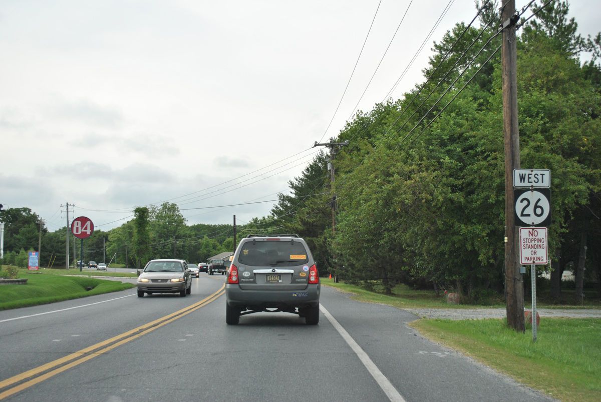
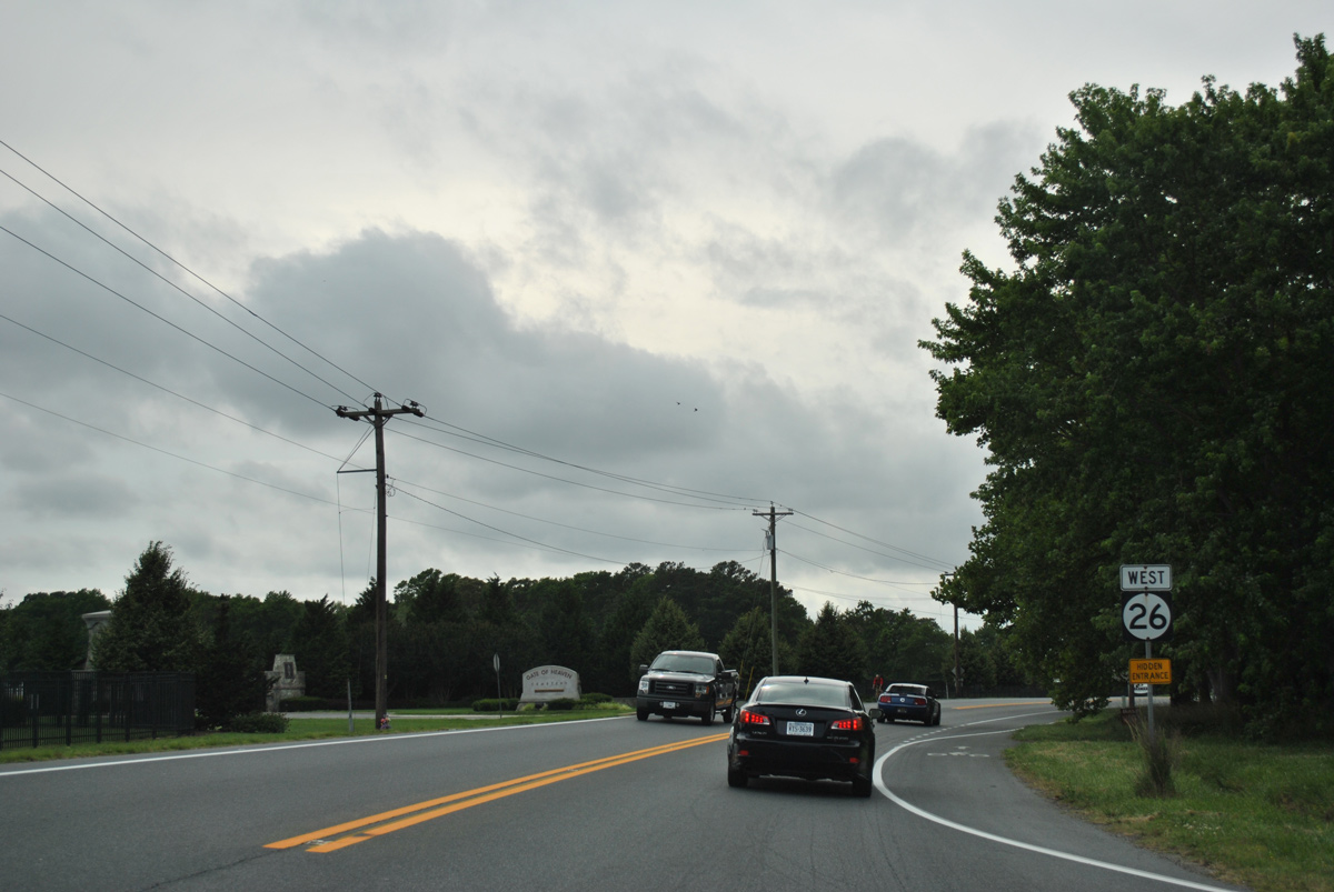
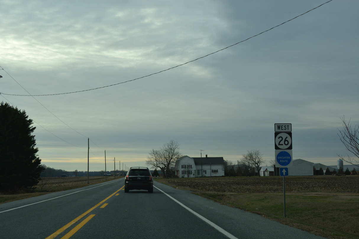
State Route 26 West

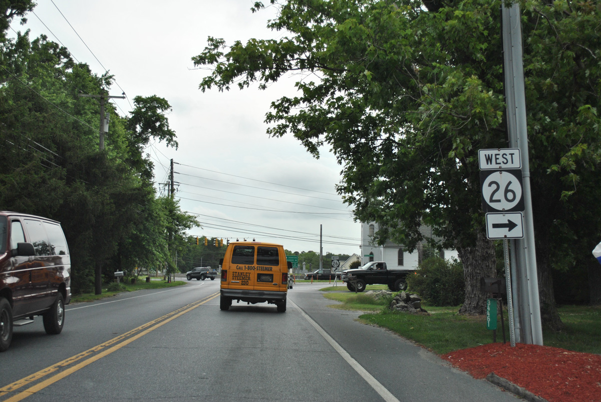
 West
West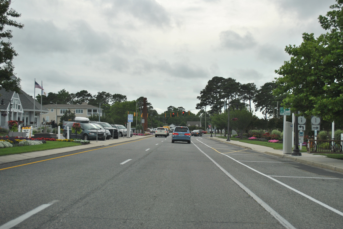
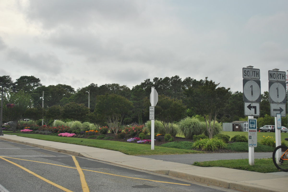
Garfield Parkway extends two blocks east from SR 1 (Coastal Highway) to a public beach access area in Bethany Beach. The four lane boulevard is not signed as SR 26, but officially a part of it.
06/18/12
A faded pair of SR 1 shields direct motorists onto Coastal Highway from SR 26 (Garfield Parkway) west. Coastal Highway parallels Pennsylvania Avenue one block to the west along the original bypass of Bethany Beach.
06/18/12
SR 1 (Coastal Highway) leads north to Delaware Seashore State Park and Rehoboth Beach and south to Fenwick Island and Ocean City, Maryland.
06/18/12
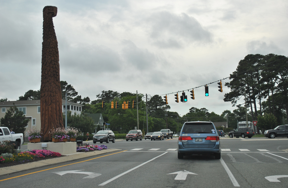
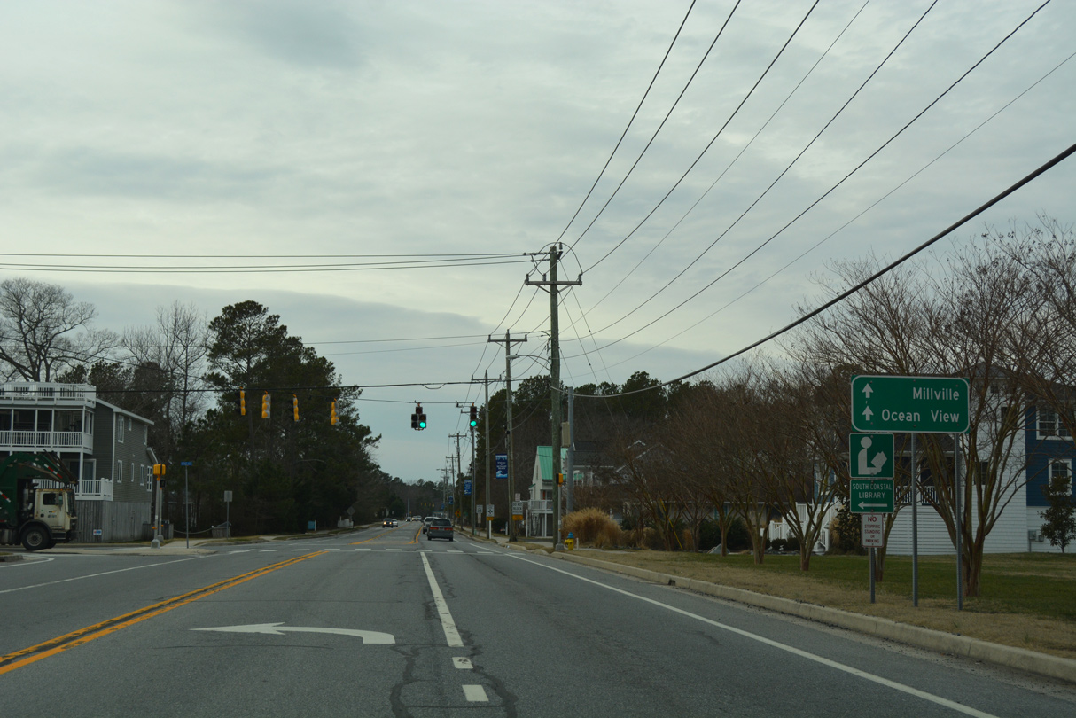
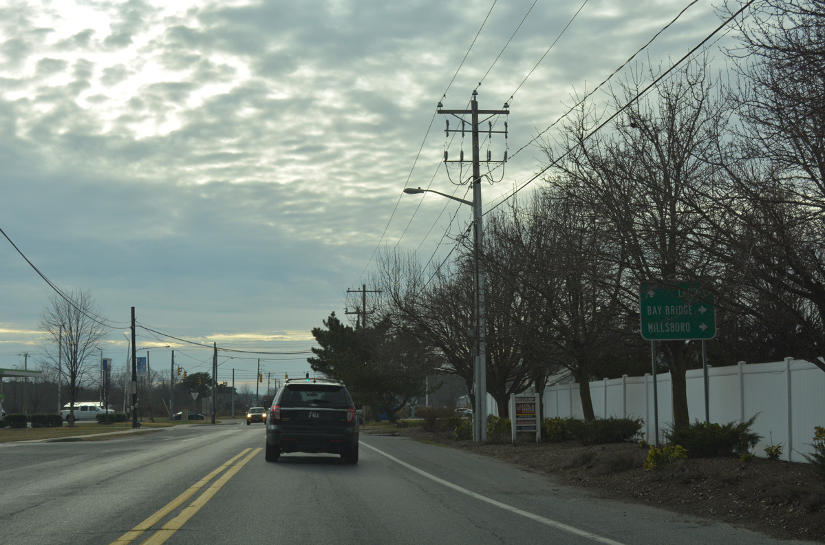
The first reassurance marker for SR 26 stands between SR 1 and Kent Avenue (SR 54 Alternate).
01/16/17
Kent Avenue stems south from SR 26 (Garfield Parkway) to the Jefferson Bridge across Assawoman Canal. SR 54 Alternate follows the street to Double Bridges Road as part of an 8.6 mile route to Bayard, Johnson and SR 54 at Bunting.
A previous guide sign posted here referenced Camp Barnes for SR 54 Alt south.
01/16/17
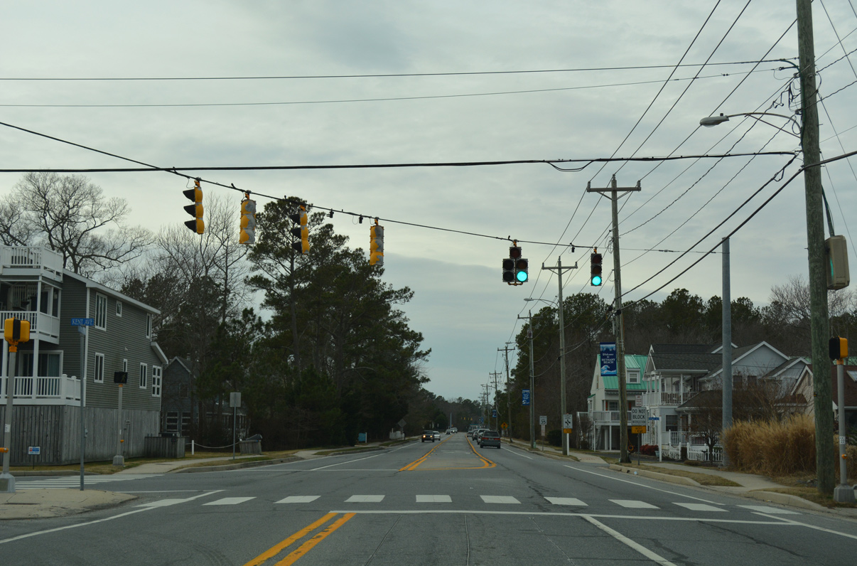
There are no signs posted in either direction for SR 54 Alt on SR 26 (Garfield Parkway). The first shield for SR 54 Alt along Kent Avenue appears beyond the Bethany Beach town line.
01/16/17
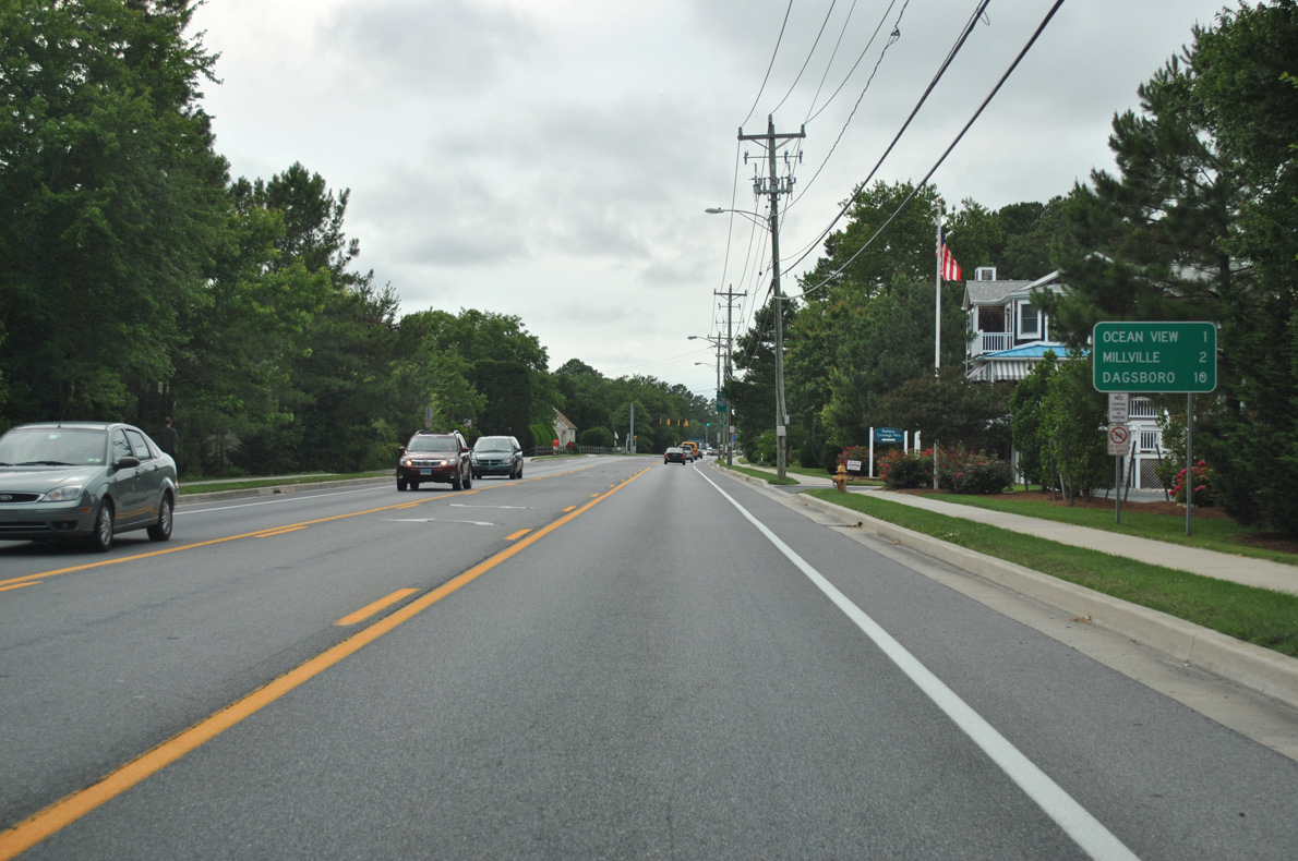
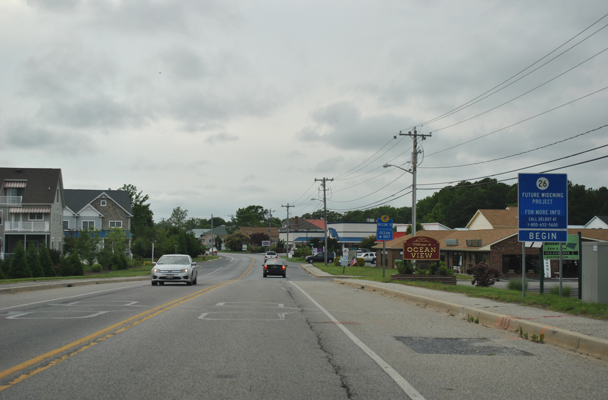
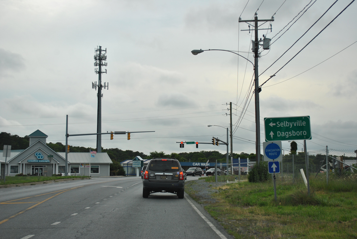
SR 26 passes through the towns of Ocean View and Millview over the two miles leading west from Bethany Beach. The town of Dagsboro follows in ten miles by the U.S. 113 corridor.
06/18/12
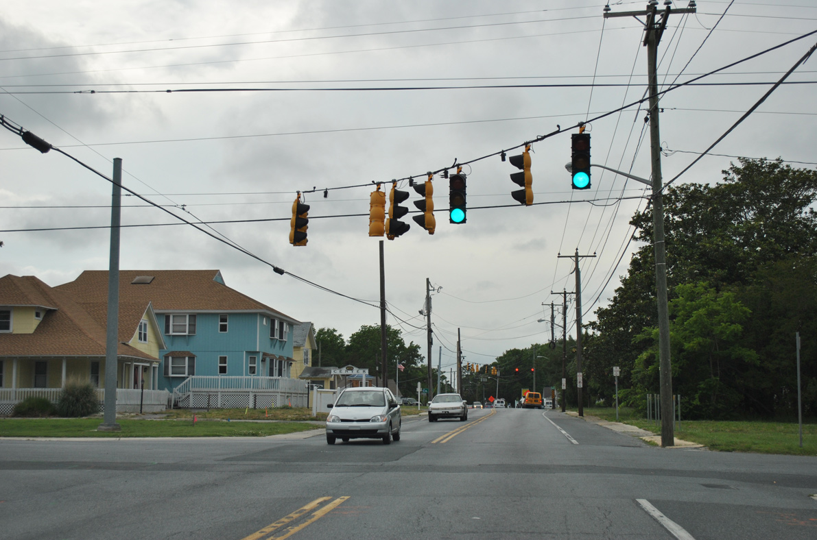
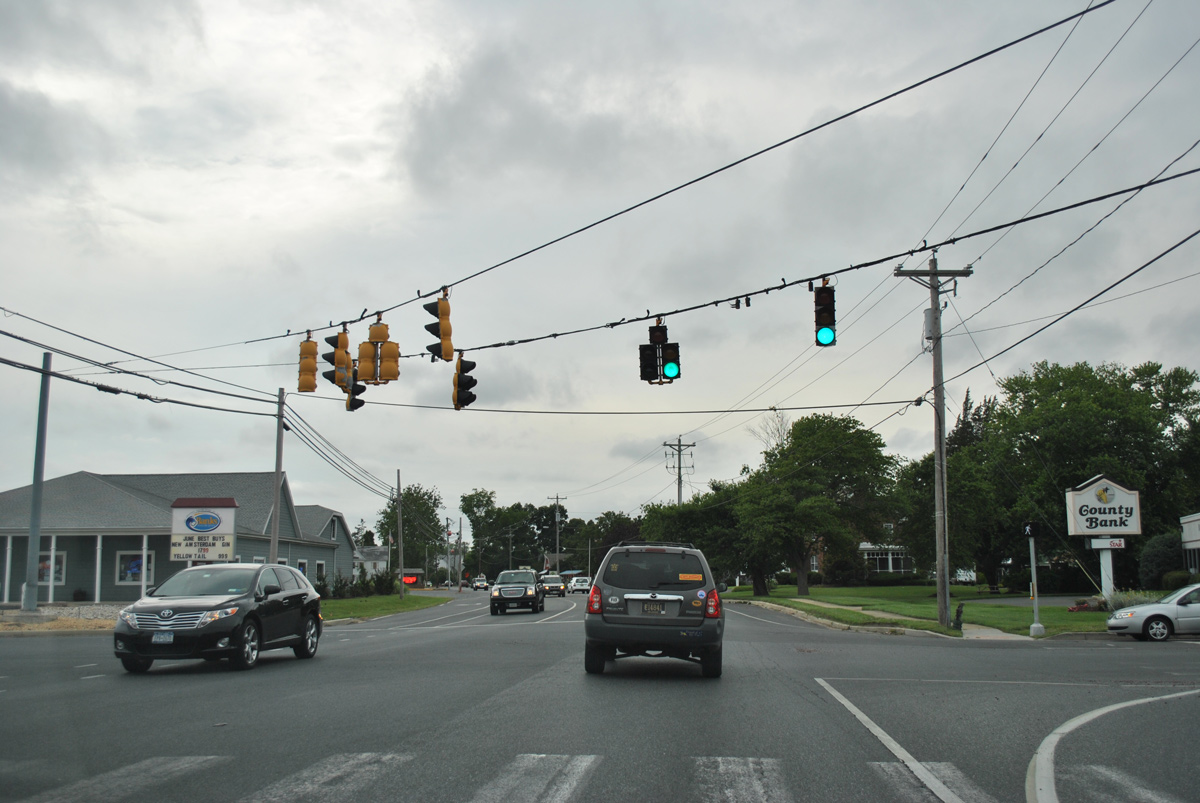
A traffic light operates along SR 26 west at Evans Avenue north and Half Moon Drive south to the Bethany West neighborhood.
06/18/12
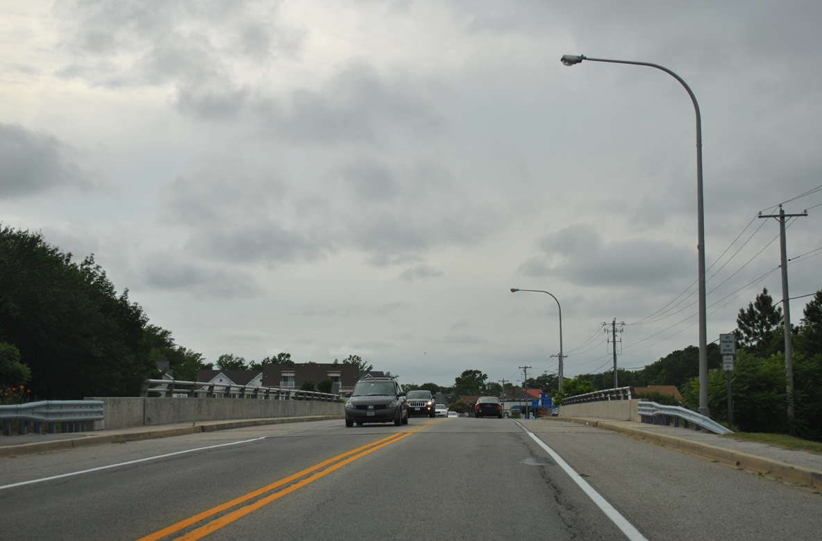
Crossing Assawoman Canal, SR 26 (Garfield Parkway) leaves Bethany Beach and enters the town of Ocean View. The girder bridge here was built in 1987.
06/18/12
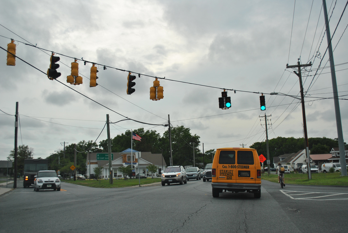
SR 26 takes Atlantic Avenue through Ocean View. Construction between January 6, 2014 and October 12, 2016 rebuilt the state route west from Glen Drive in Bethany Beach to Clarksville. Work expanded the roadway to include an 11 foot travel lane in each direction, five foot shoulders with bike lanes, and a 12 foot continuous center turn lane.1
06/18/12
West Avenue heads south from Canal Village to intersect SR 26 (Atlantic Avenue). The street south provides a through route to Muddy Neck Road and suburban areas of south Ocean View.
06/18/12
Central Avenue spurs north from Ocean View to Cedar Neck at the succeeding westbound signal from SR 26. Central Avenue south extends to the Village at Bear Trap Dunes golf course community and other subdivisions en route to a rural end at Bayard Road.
06/18/12
SR 26 (Atlantic Avenue) crosses a tributary of White Creek just ahead of the Millview town line.
06/18/12
Old Mill Road arcs northwest from SR 26 at the Millville Town Center shopping area to the Banks Acres and Bay Forest Club communities.
06/18/12
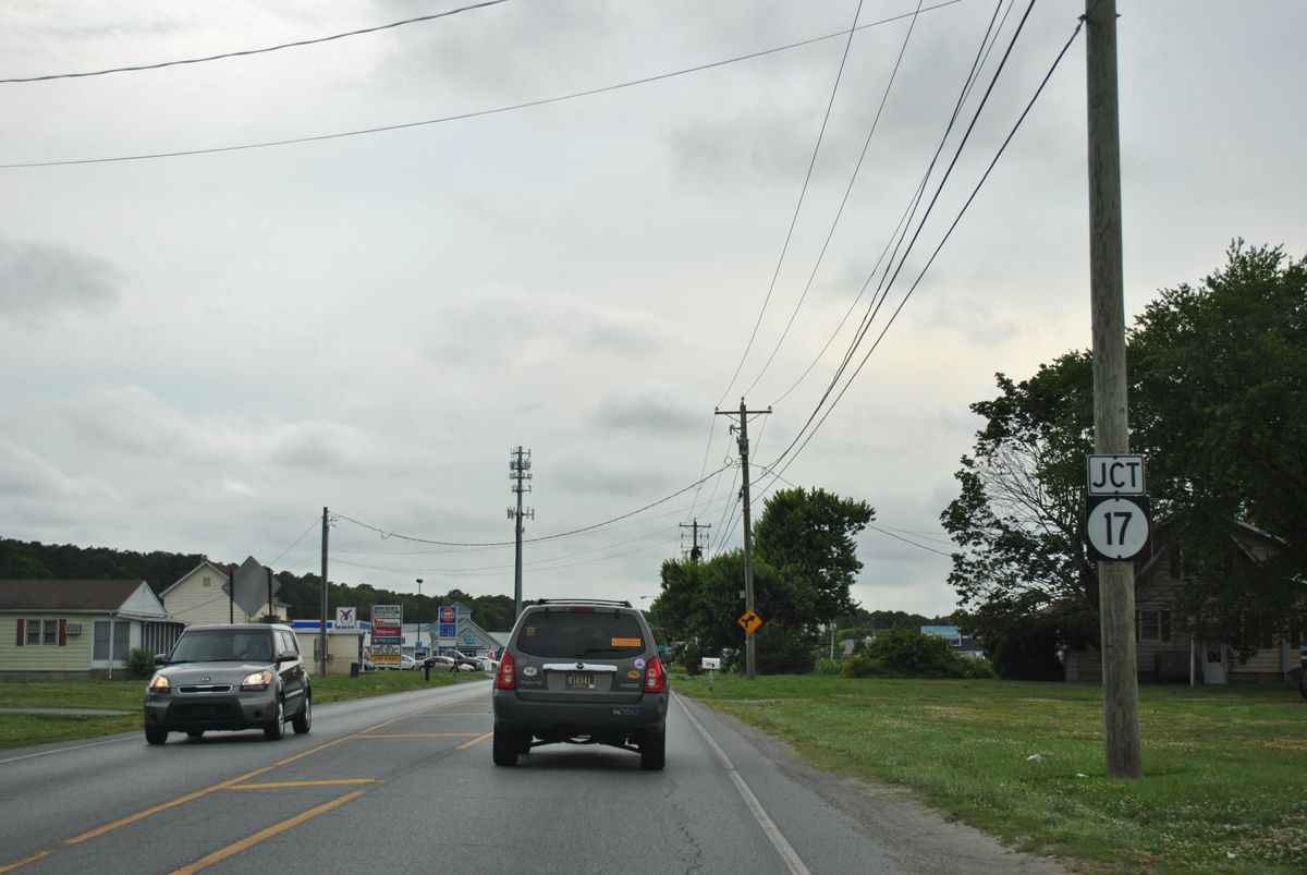
SR 26 leaves the town of Millville just ahead of SR 17 (Roxana Road) south. Aforementioned construction completed in 2016 removed both signs for SR 17.
06/18/12
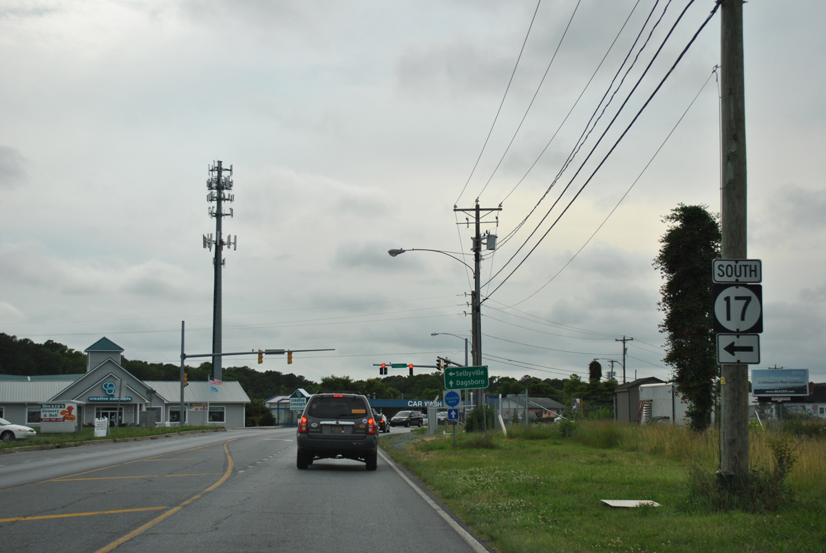
Roxana Road leads SR 17 south through western reaches of Millview to the community of Roxana.
06/18/12
SR 17 overall constitutes a rural route traveling 8.30 miles southwest to SR 54 at Selbyville.
06/18/12
Atlantic Avenue curves northward across White Neck from SR 17 to Clarksville.
06/18/12
SR 26 shifts from Atlantic Avenue onto Vines Creek Road northwest at Clarksville.
06/18/12
The angled intersection with Omar Road west and Powell Farm Road south was reconfigured during 2014-16 road work. SR 26 was realigned slightly north and all turns to the south are now made at a 90 degree angle.
06/18/12
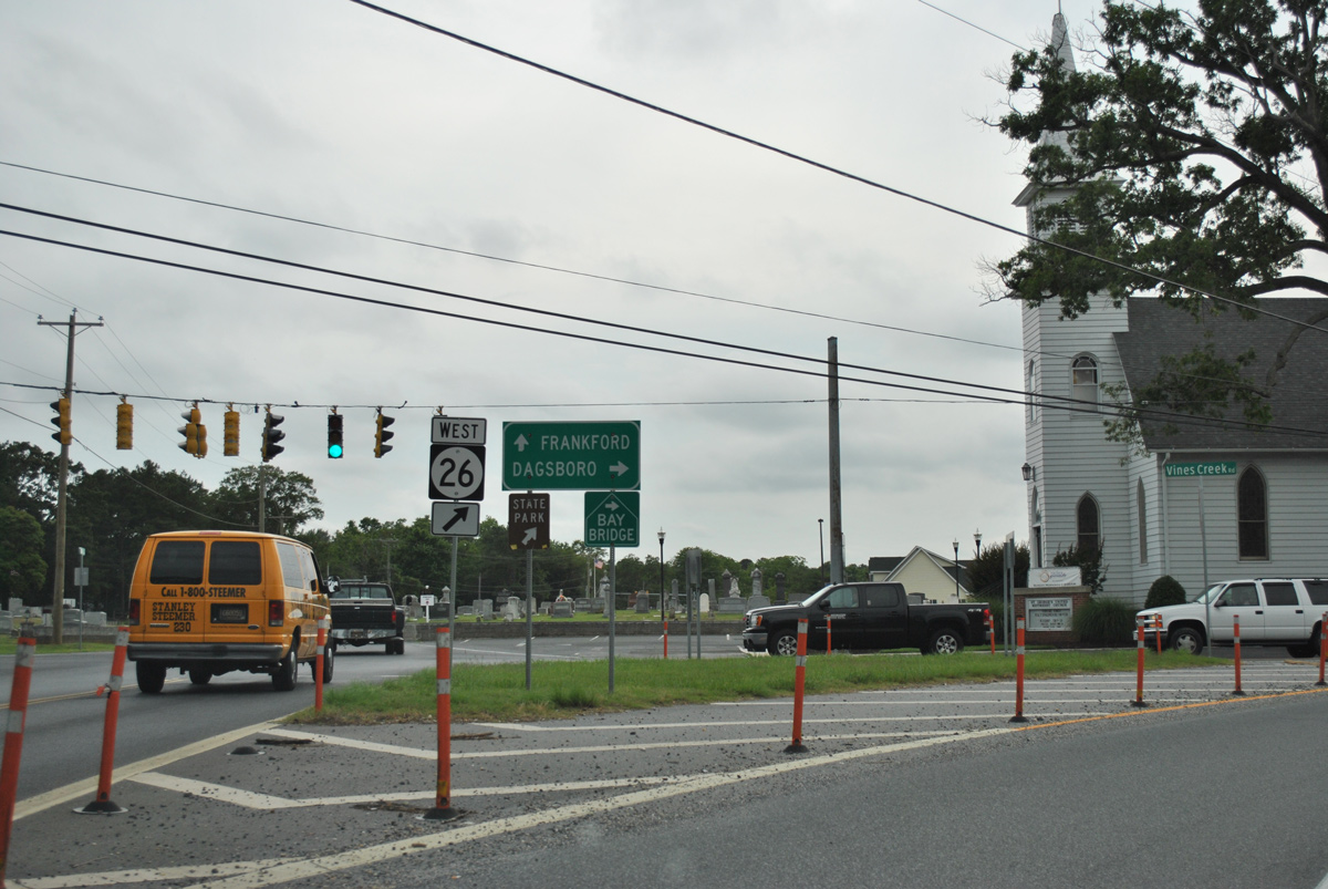
A Bay Bridge trailblazer directed motorists to remain along SR 26 west to SR 20 at Dagsboro. Omar Road otherwise stemmed west from Clarksville to SR 20 at Omar and the town of Frankford.
06/18/12
Vines Creek Road provides a rural drive for westbound motorists between Clarksville and Dagsboro.
06/18/12
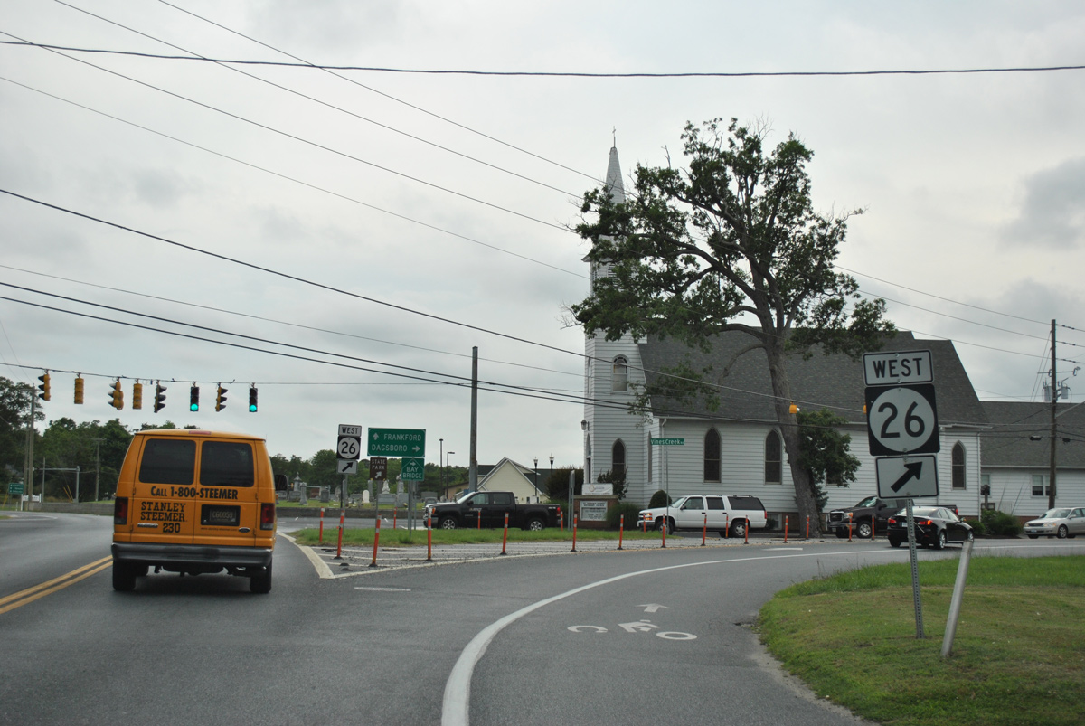
SR 26 (Vines Creek Road) bee lines westward across Dumpling Neck to enter the town of Dagsboro just ahead of SR 20 (Armory Road). SR 20 combines with SR 26 west to Main Street.
06/18/12
The signal at SR 20 (Armory Road) ties into Chapel Lane from the north. SR 20 originates from SR 1 alongside SR 54 at Fenwick Island.
06/18/12
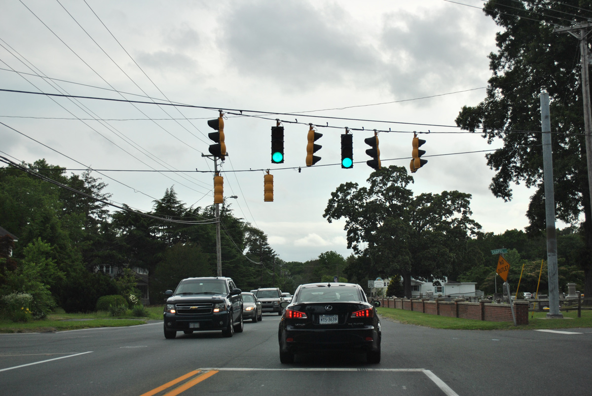
 West West
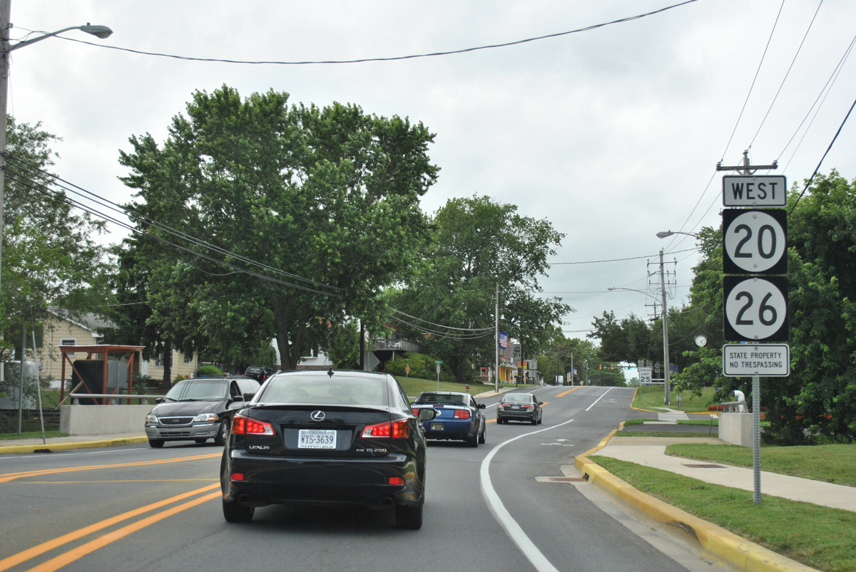
Main Street (SR 20/26) crosses Pepper Creek just north of Vines Creek Road.
06/18/12
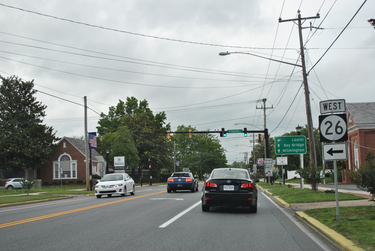
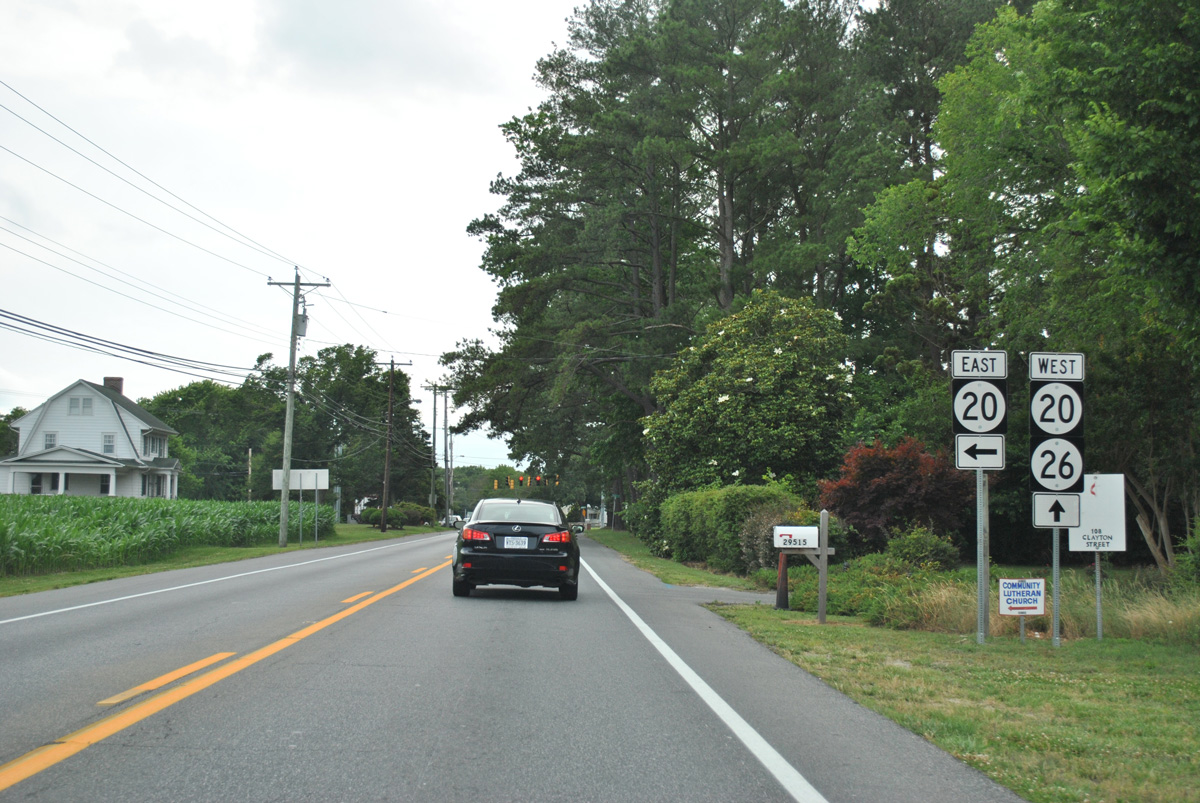
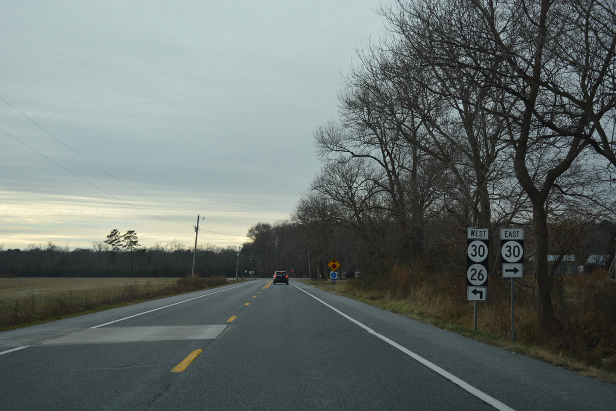
SR 26 extends west from Dagsboro to Millsboro Highway (old SR 30) at Shaft Ox Corner. Interests to Laurel are directed to follow Millsboro Highway north to SR 24 west from there.
Travelers headed to long distance points north and west are directed to remain on SR 20 west to U.S. 113.
06/18/12
West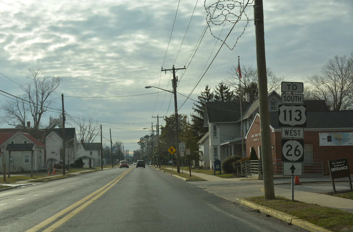
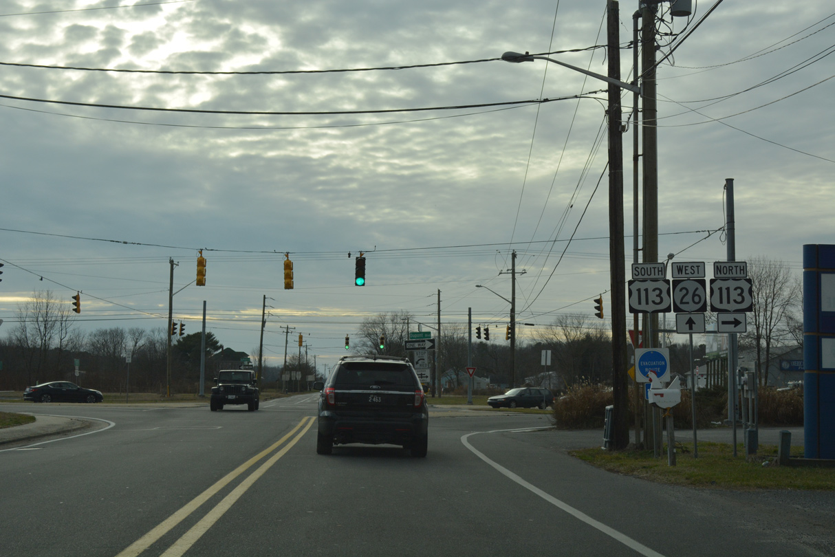
Clayton Avenue leads SR 26, 0.81 miles west to U.S. 113 across Dagsboro. Speed limits are initially posted at just 25 miles per hour on the drive.
01/16/17
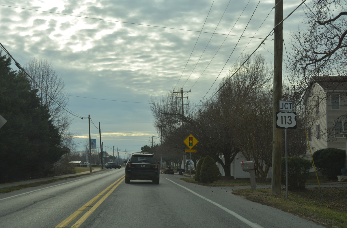
SR 26 passes between a pair of town home communities just ahead of U.S. 113 (Dupont Boulevard). U.S. 113 travels along the west side of Dagsboro along a rural type four lane highway south to Frankford and north to Millsboro.
01/16/17
U.S. 113 becomes a commercial arterial through nearby Millsboro as it overlaps with SR 20. Connections with SR 20 west and SR 18/404 west at Georgetown lead motorists to the Maryland Eastern Shore for U.S. 50 and the Chesapeake Bay Bridge.
01/16/17
South from SR 26, U.S. 113 (Dupont Boulevard) crosses the Maryland state line in 6.58 miles ahead of Bishop. U.S. 113 stays inland west of Ocean City, passing through Berlin en route to Snow Hill and its southern terminus at Pocomoke City.
01/16/17
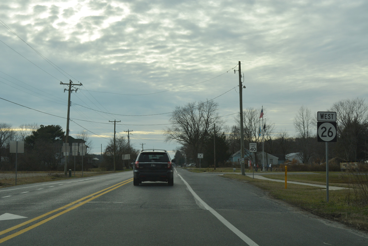
West from Dagsboro, SR 26 transitions into a rural highway with a 50 mile per speed limit.
01/16/17
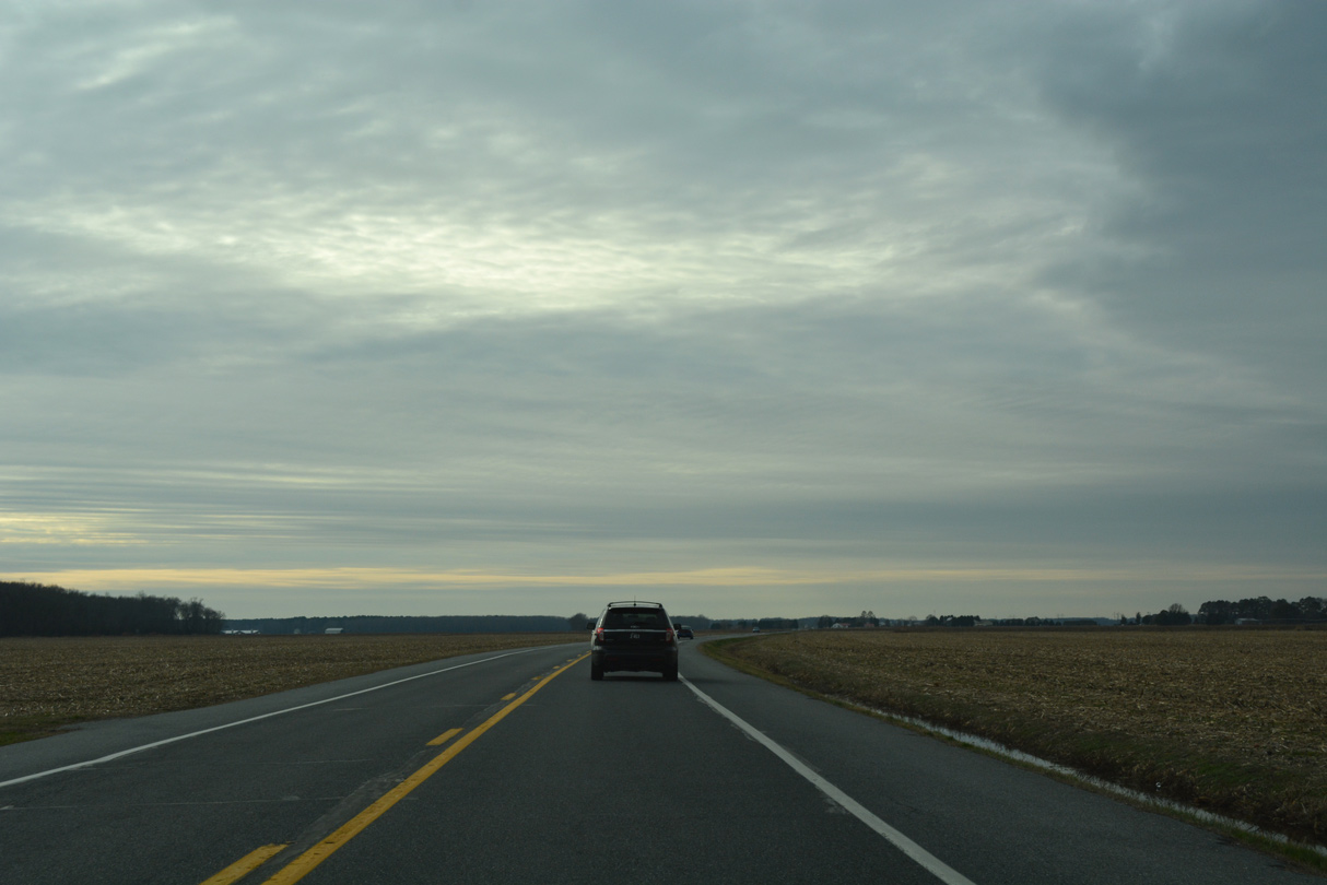
Wide open views are common along SR 26 (Nine Foot Road) to the south of Hickory Hill.
01/16/17
Westbound trailblazer for SR 26 posted after the intersection with Hickory Hill Road north and Blackberry Road south.
01/16/17
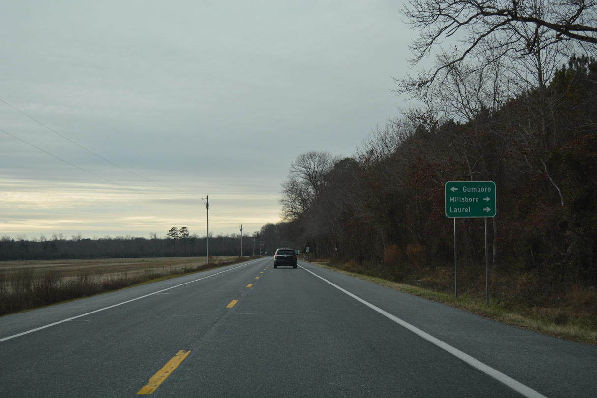
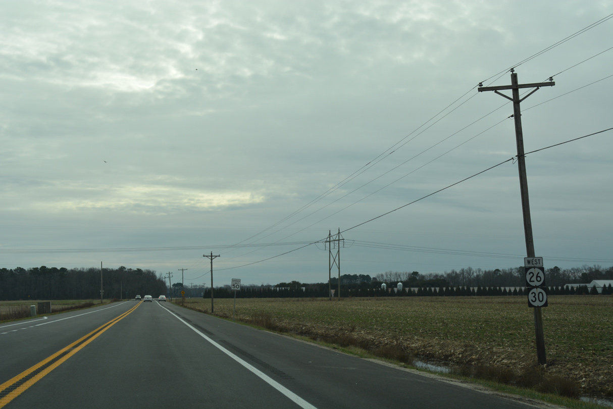
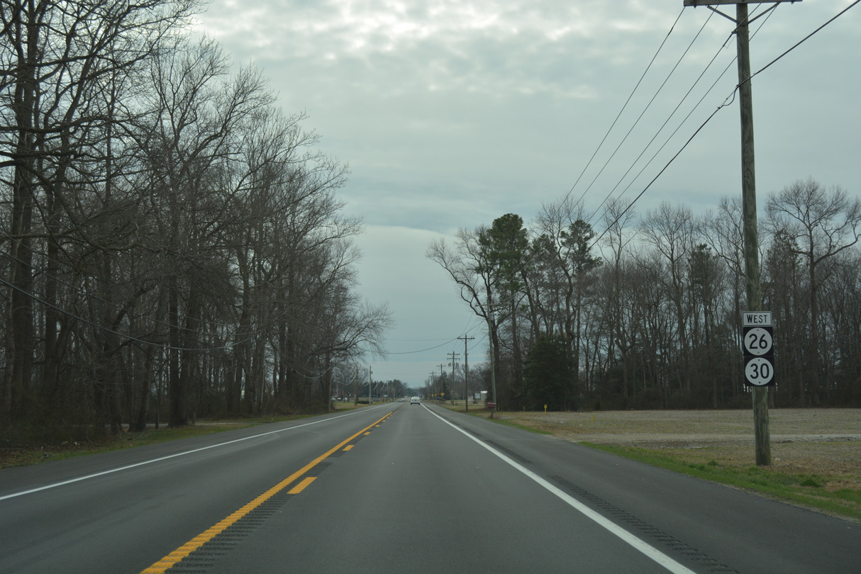
Forthcoming Millsboro Highway (old SR 30) travels north back to Millsboro and south alongside SR 26 to Gumboro. SR 24 (Laurel Road) ties into the highway 0.9 miles to the north.
01/16/17
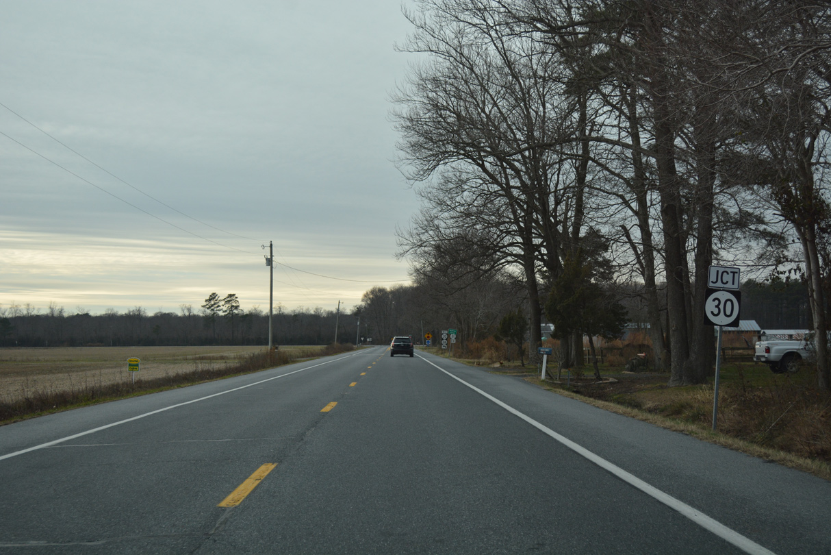
Nine Foot Road ends at a T intersection with Millsboro Highway (former SR 30) at Shaft Ox Corner.
01/16/17
Prior to Summer 2022, SR 30 formed a nearly 45 mile long L-shaped route north to Milford. SR 30 was truncated south at Millsboro, including all of the section from Shaft Ox Corner to Bacons designated by 1994.
01/16/17
Millsboro Highway (SR 26) shifts westward from near Burnt Swamp to the unincorporated community of Gumboro over the next three miles.
01/16/17
Lowes Crossing Road curves southeast from SR 24 (Laurel Road) to intersect SR 26 (Millsboro Highway) ahead of this shield assembly. The speed limit reduces to 35 miles per hour on the ensuing stretch.
01/16/17
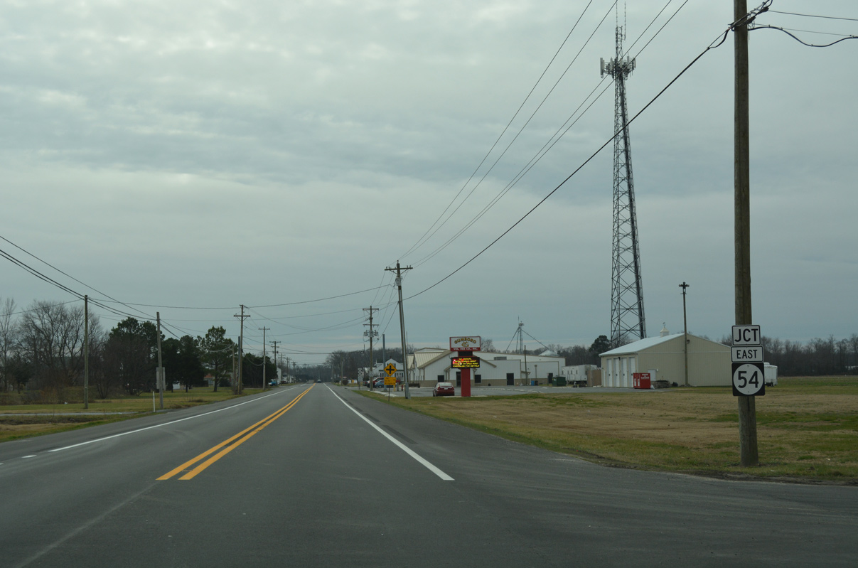
Traveling west from Selbyville, SR 54 (Cypress Road) joins SR 26 (Millsboro Highway) south from Gumboro.
01/16/17
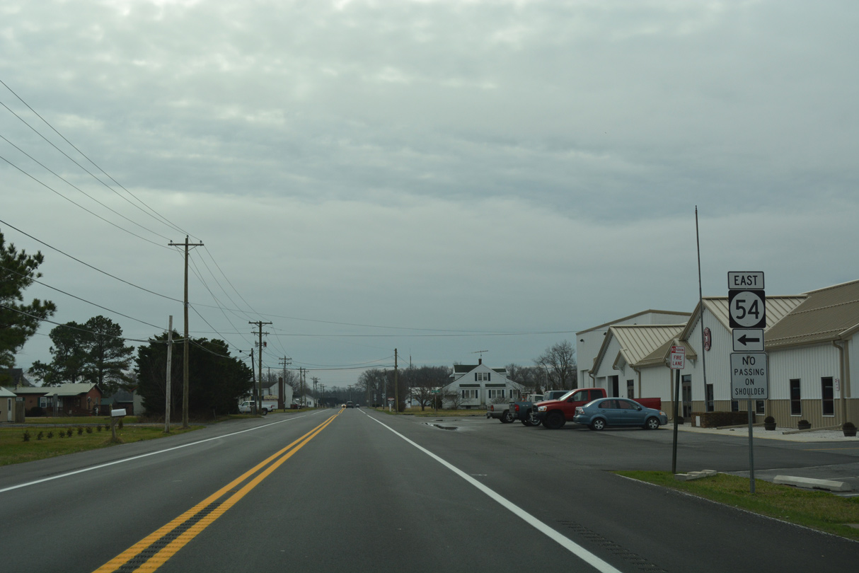
The eastern half of SR 54 traverses Cypress Swamp east to U.S. 113. The state route straddles growing suburban areas east from Selbyville to Williamsville and Fenwick Island.
01/16/17
 West
West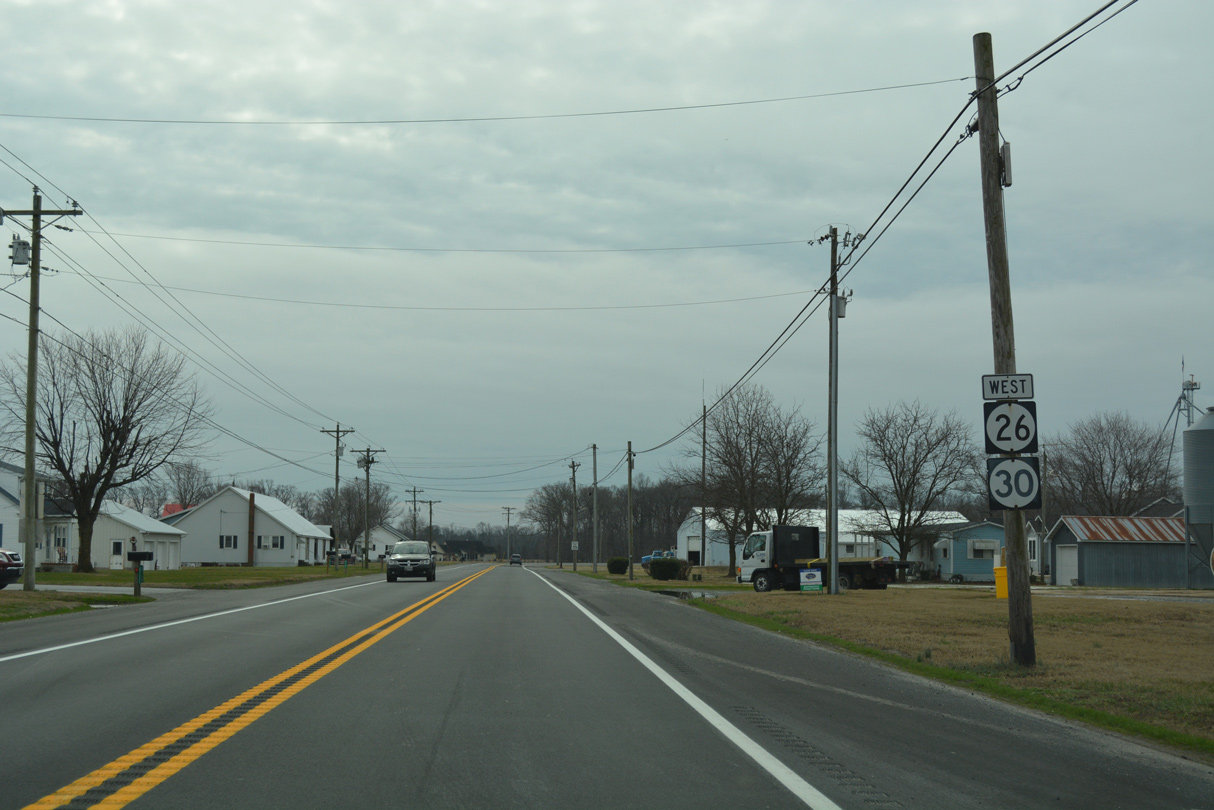
Truncated south of Millsboro in 2022, SR 30 previously combined with SR 26/54 combined for 1.53 miles south to Whitesville Road.
01/16/17
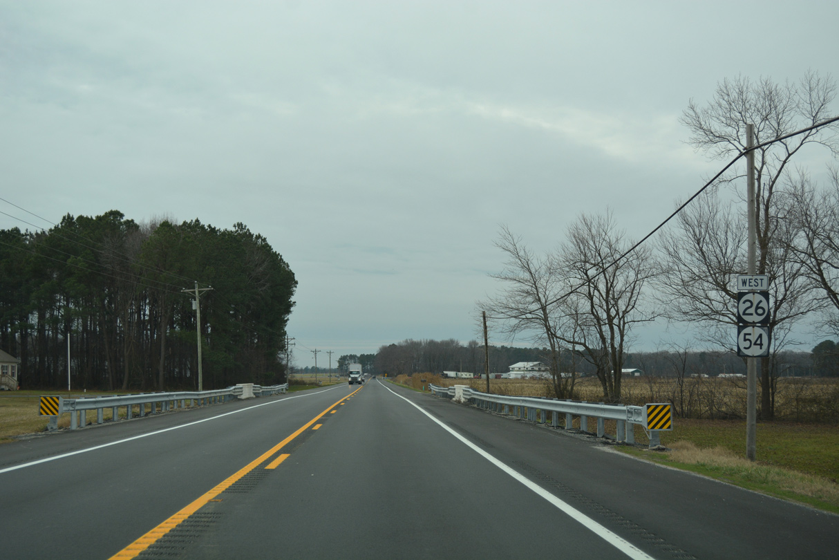
SR 26/54 stay paired along Millsboro Highway south for another 0.83 miles to Line Road.
01/16/17

This shield marks the west end of SR 26, as SR 54 becomes MD 54 west along Line Road. MSR 54 overlays the state line to Delmar.
01/16/17
References:
- SR26 - Mainline and Detour Routes, Overview Mainline.
https://www.deldot.gov/ information/projects/sr26/ index.shtmlDelaware Department of Transportation (DelDOT) project web site.
Photo Credits:
- Alex Nitzman: 06/18/12, 01/16/17
Connect with:
Page Updated Tuesday January 31, 2017.