
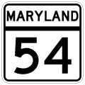
Route 54 / State Route 54 East

 East
East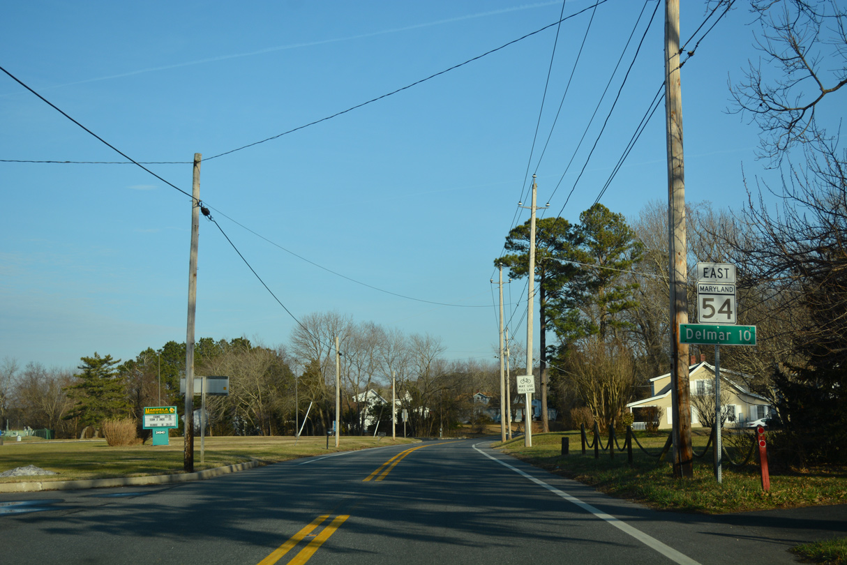
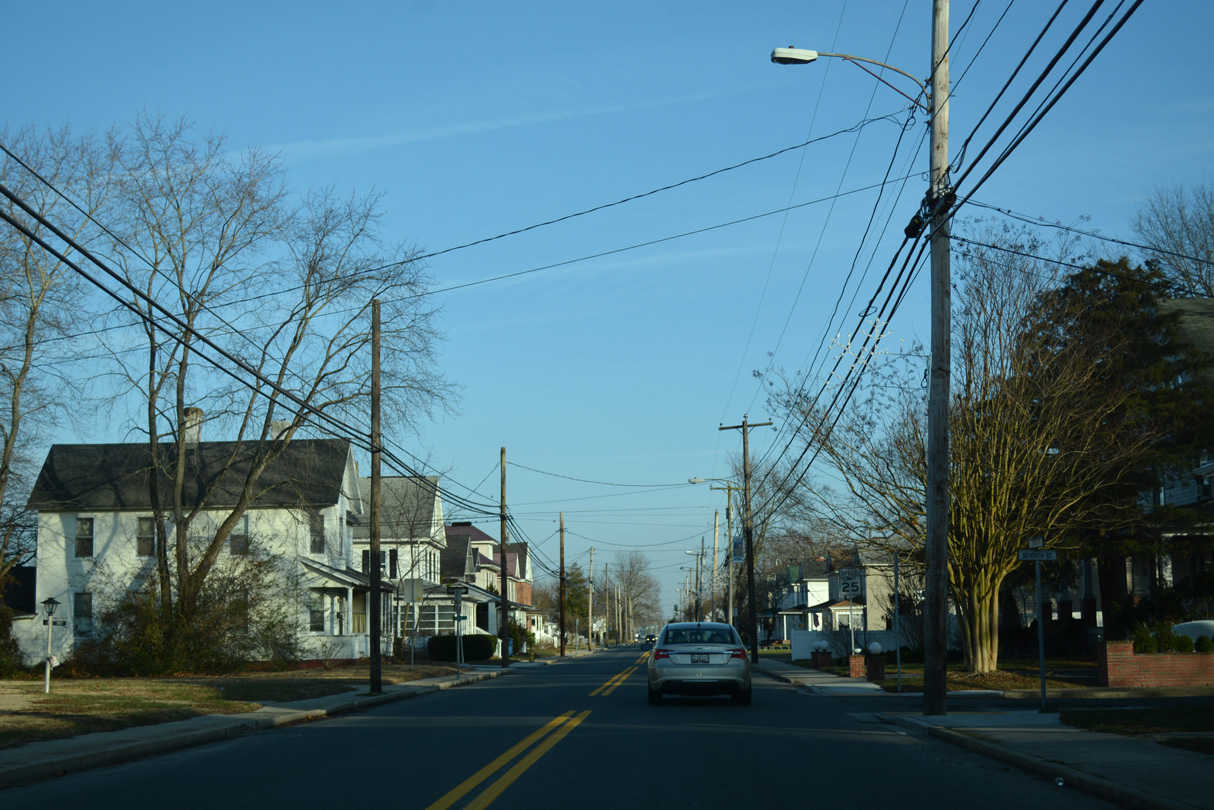
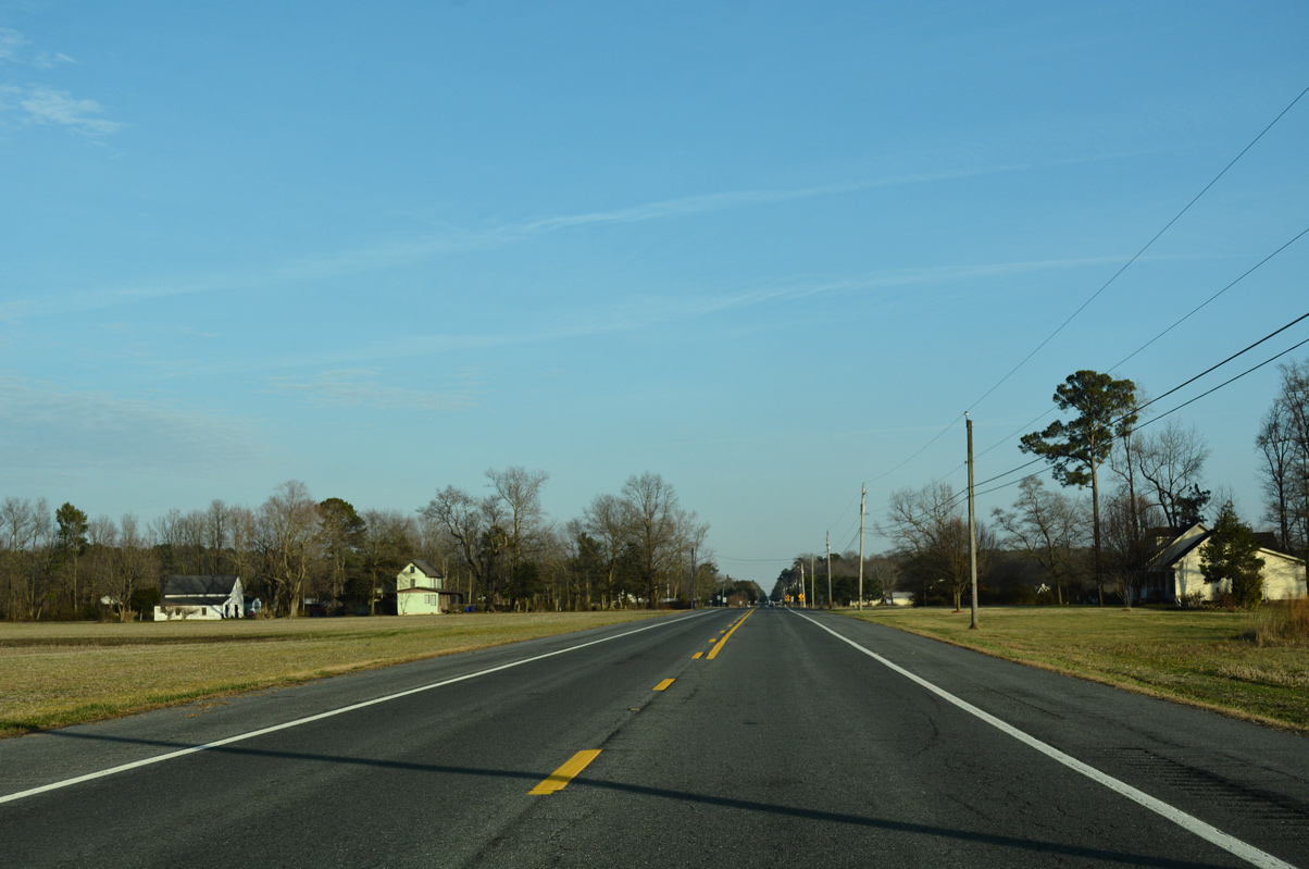
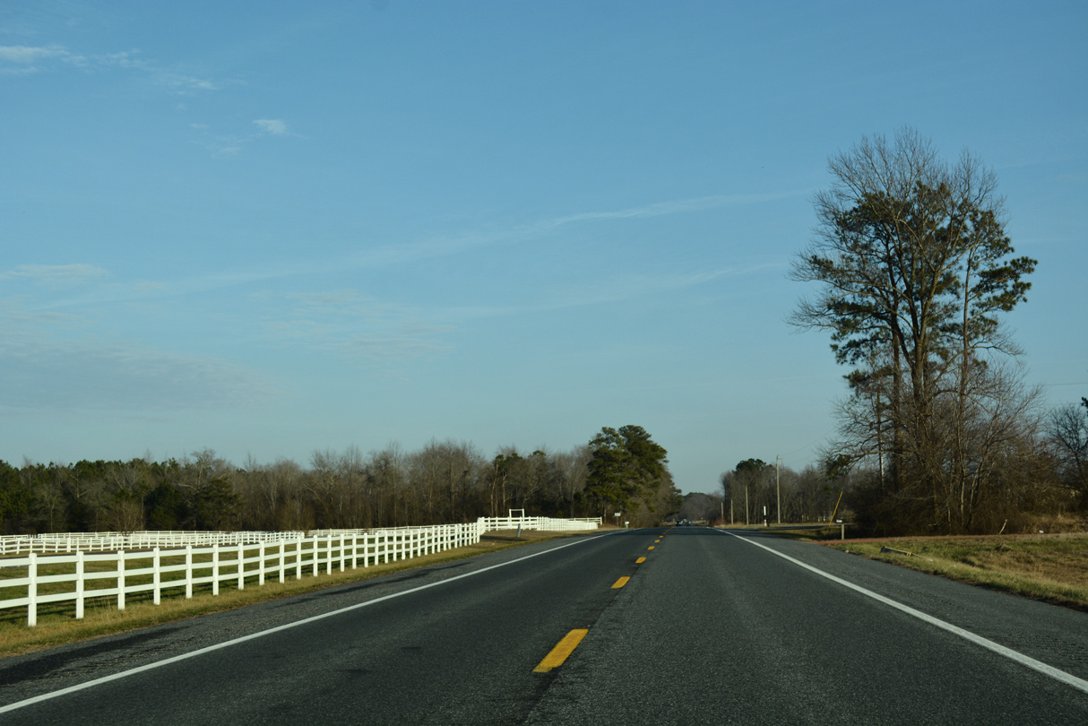
The first confirming marker for MD 54 appears after the northerly turn of MD 313 onto Sharptown Road from Delmar Road east in Mardela Springs.
01/15/17
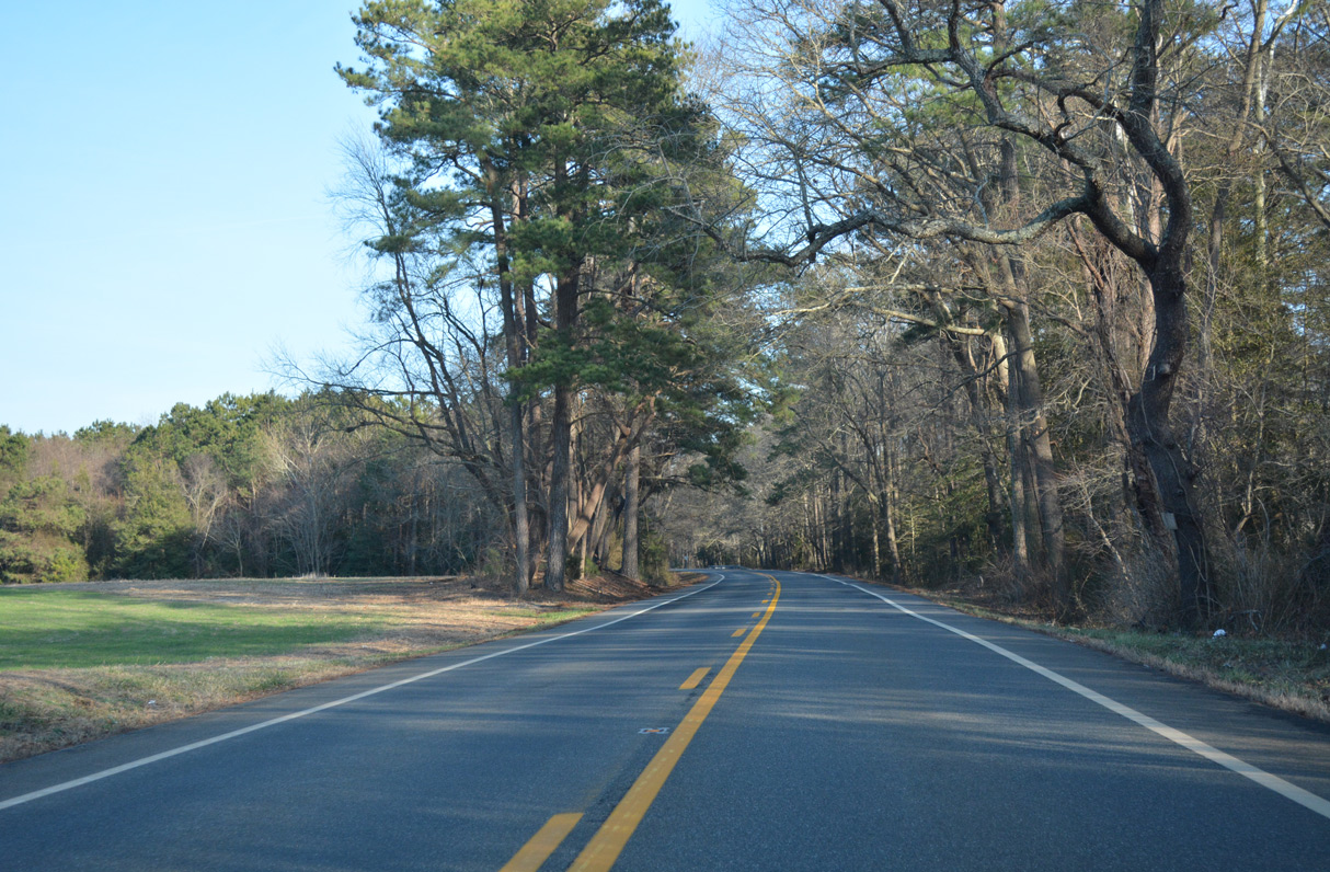
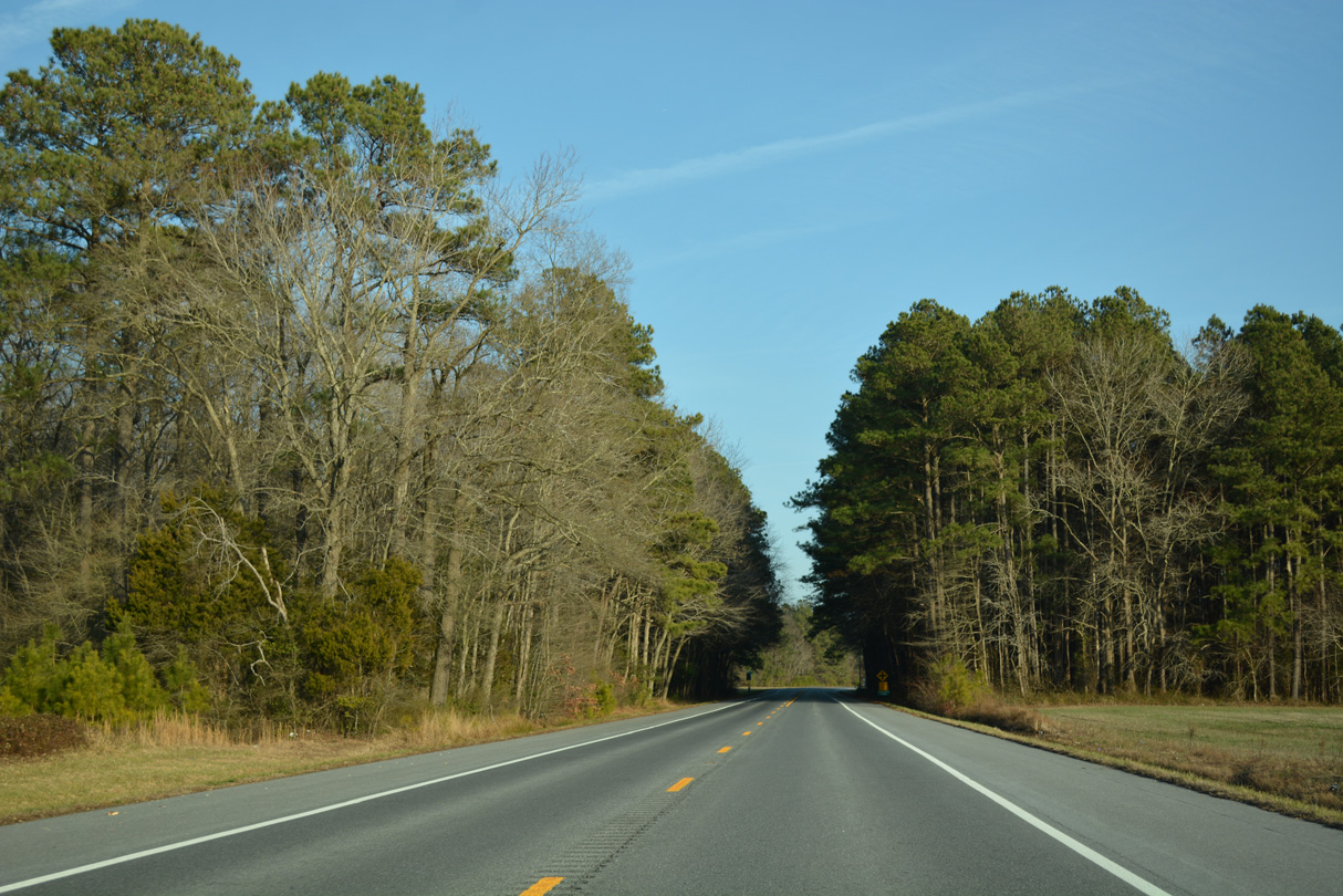
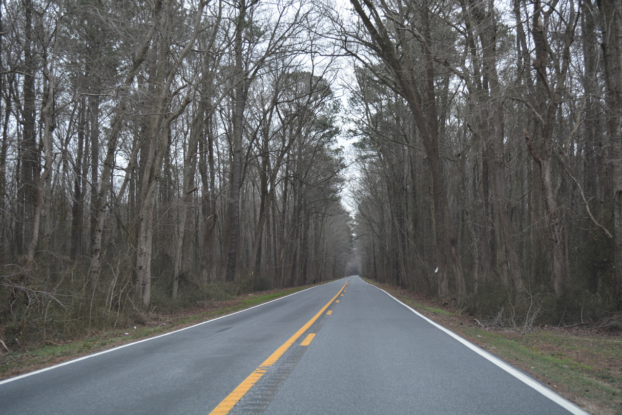
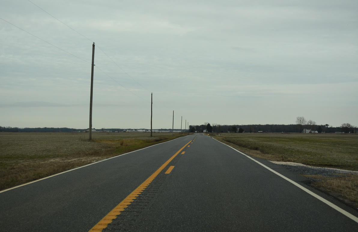
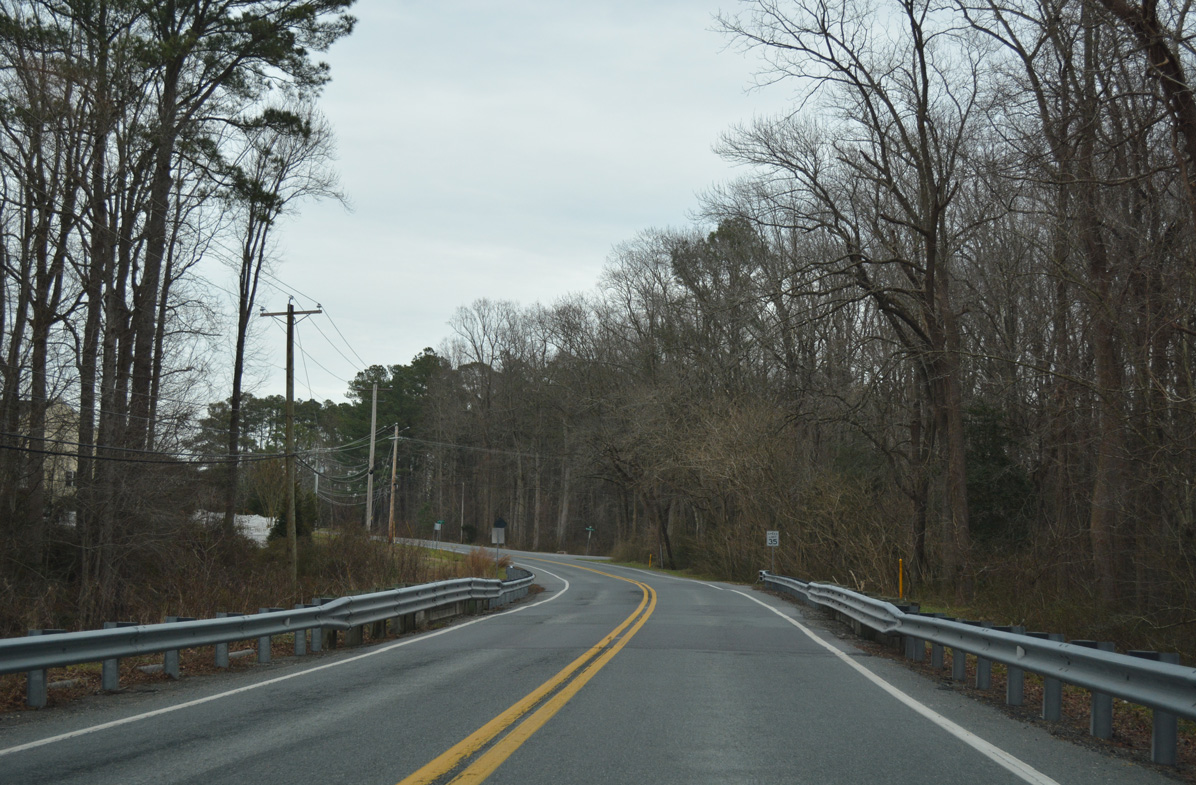
MD 54 (Delmar Road) enters a forest stand north of Barren Pond as it travels east toward the Delaware state line.
01/15/17
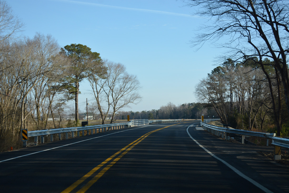
Winding east parallel to Barren Creek, MD 54 (Delmar Road) crosses Mockingbird Creek.
01/15/17
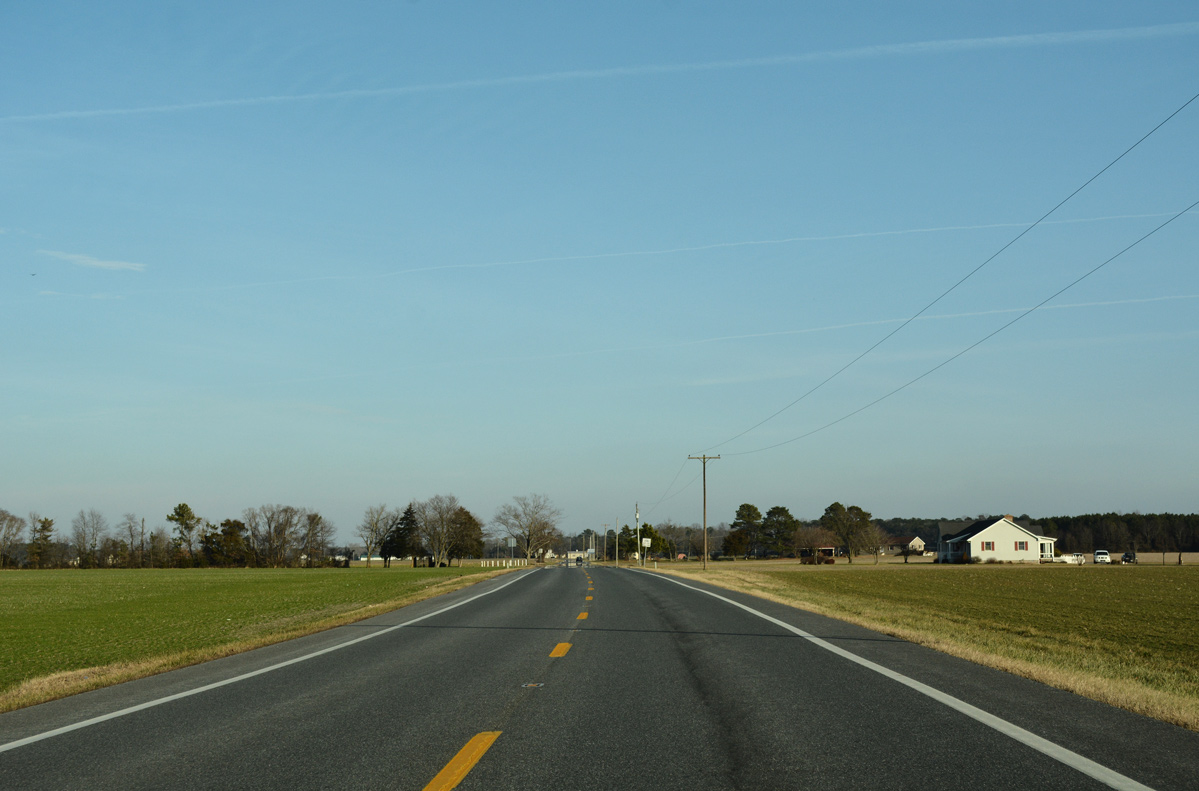
Approaching the southwestern corner of Delaware along MD 54 (Delmar Road) east after Old Railroad Road.
01/15/17
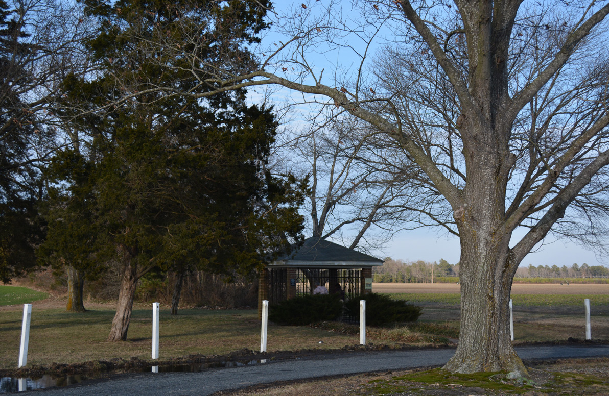
A wayside park is home to a survey marker representing the middle point of the Mason Dixon Line. The site is included within the Delaware History Trail.
01/15/17
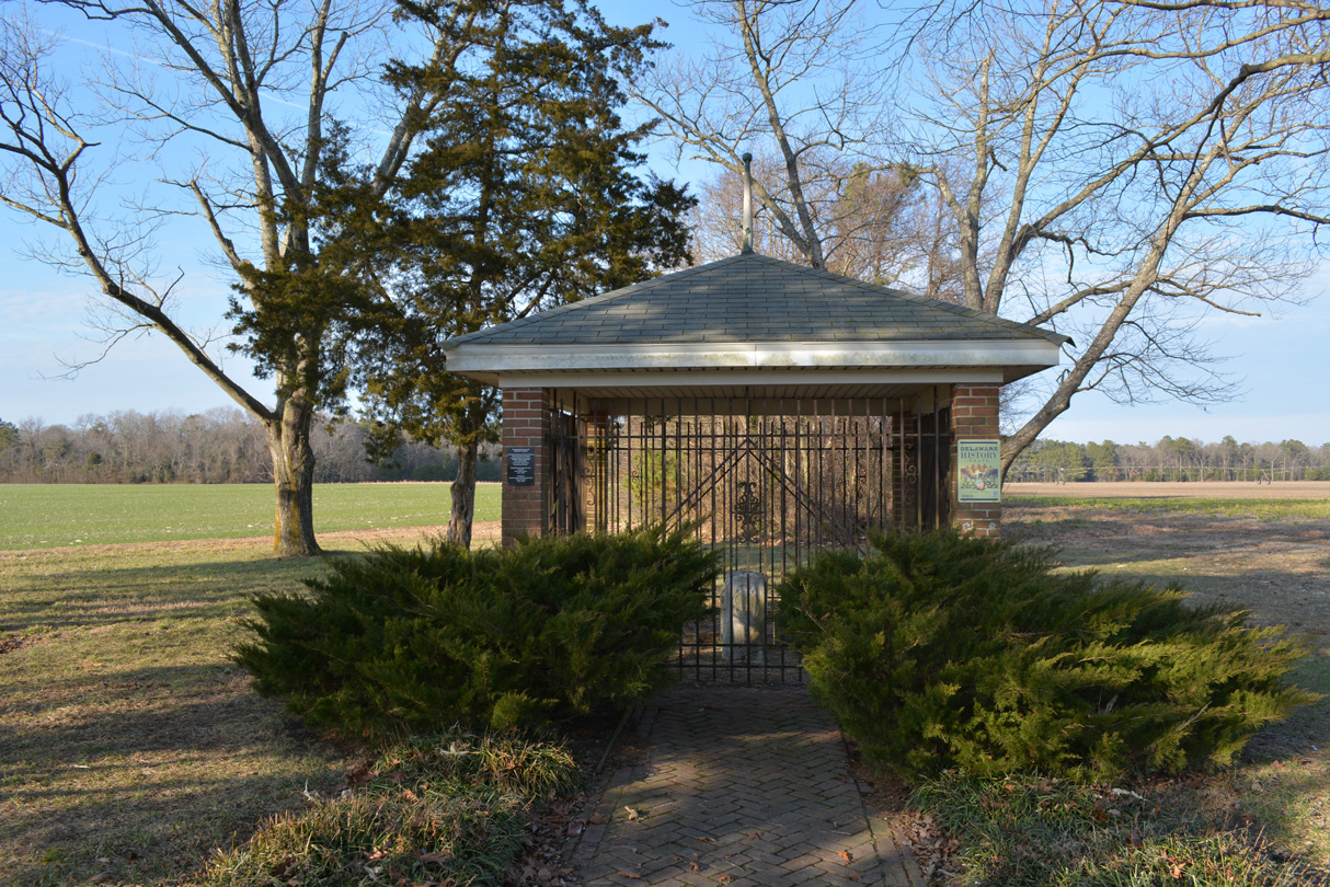
A pavilion was erected above the corner monument for the Delaware state line in 1961. It protects several stone markers erected by surveyors in the 1700s.1
01/15/17
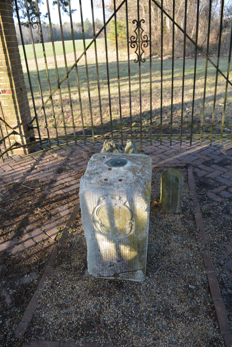
Placed in 1768 by Mason and Dixon, the oolitic limestone marker is adorned with the Calvert Arms on the south and west sides and Penn arms on the north and east sides.1 A USGS survey disc appears at the top.
01/15/17
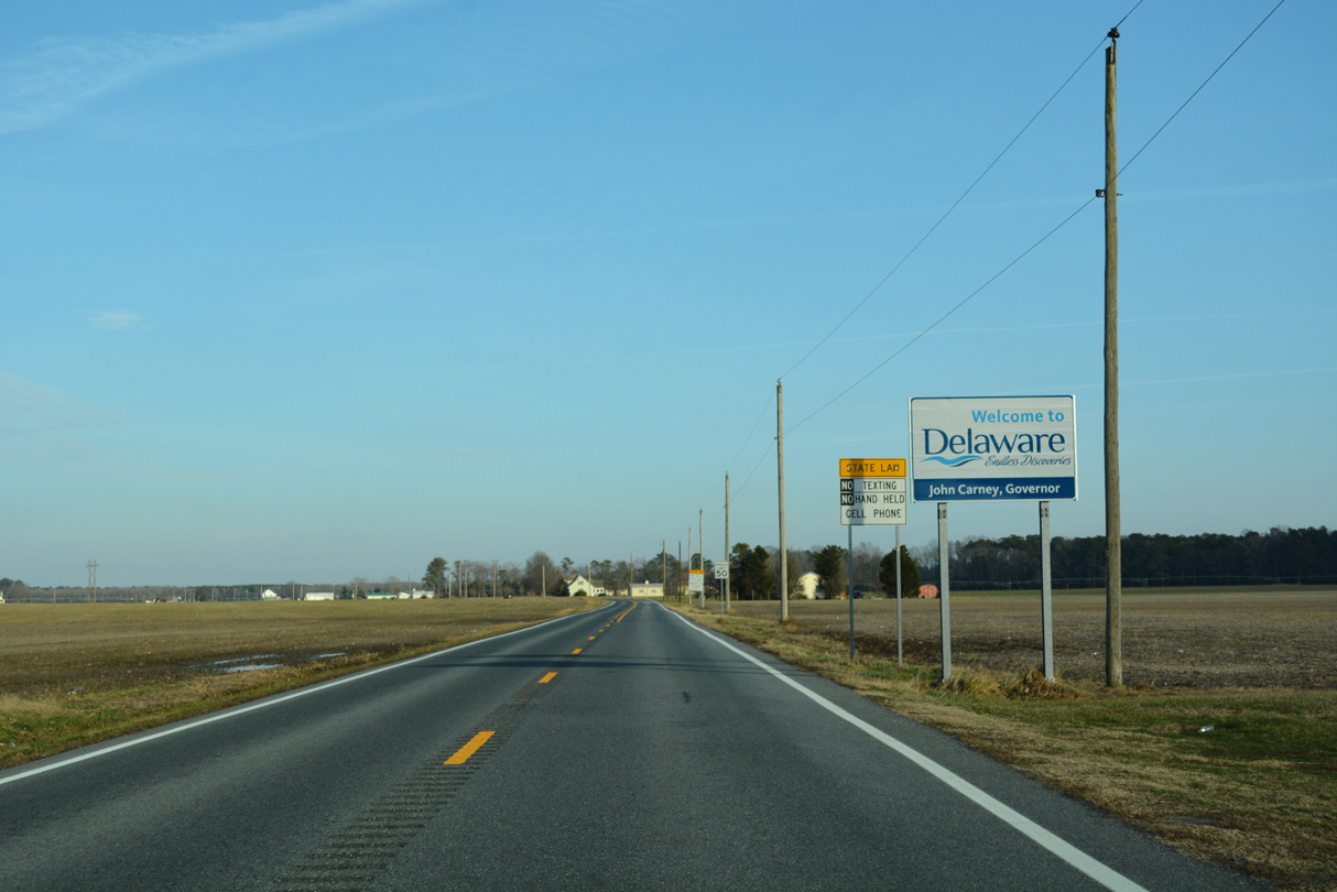
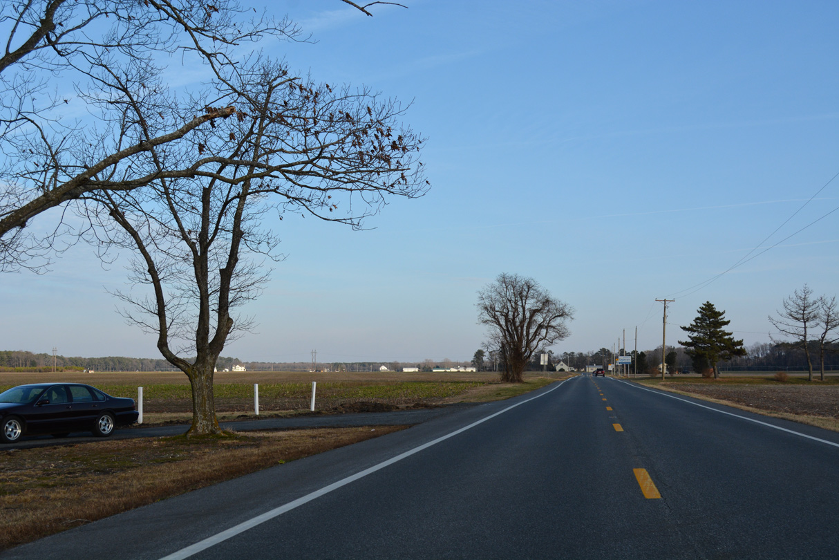
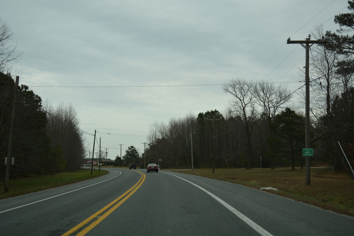
A Welcome to Delaware sign stands as MD 54 transitions into SR 54 between two farm fields just east of the Mason Dixon Line Middle Point.
01/15/17
 East
East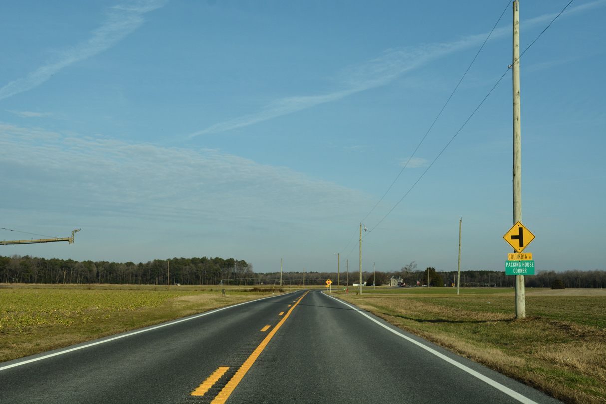
SR 54 (Delmar Road) east intersects Columbia Road at the settlement of Packing House Corner, 1.1 miles into Sussex County.
01/15/17
The first shield for SR 54 east precedes the T-intersection with Columbia Road.
01/15/17
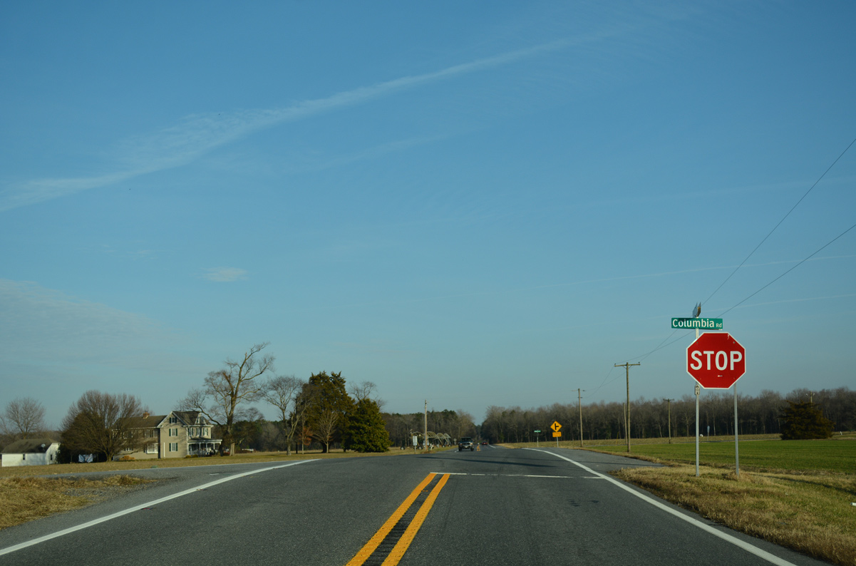
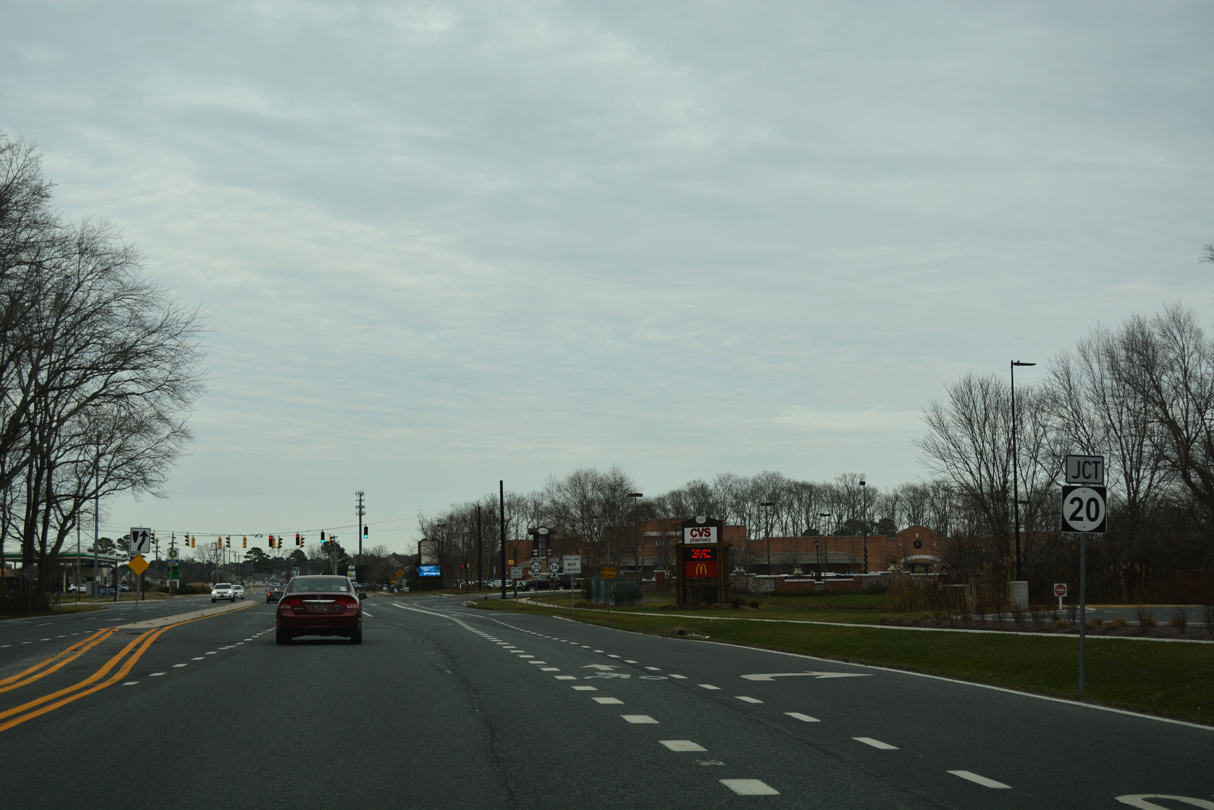
Columbia Road heads 3.8 miles north from a stop sign at SR 54 (Delmar Road) to Columbia and SR 20 (Sharptown Road), east of Sharptown, Maryland.
01/15/17
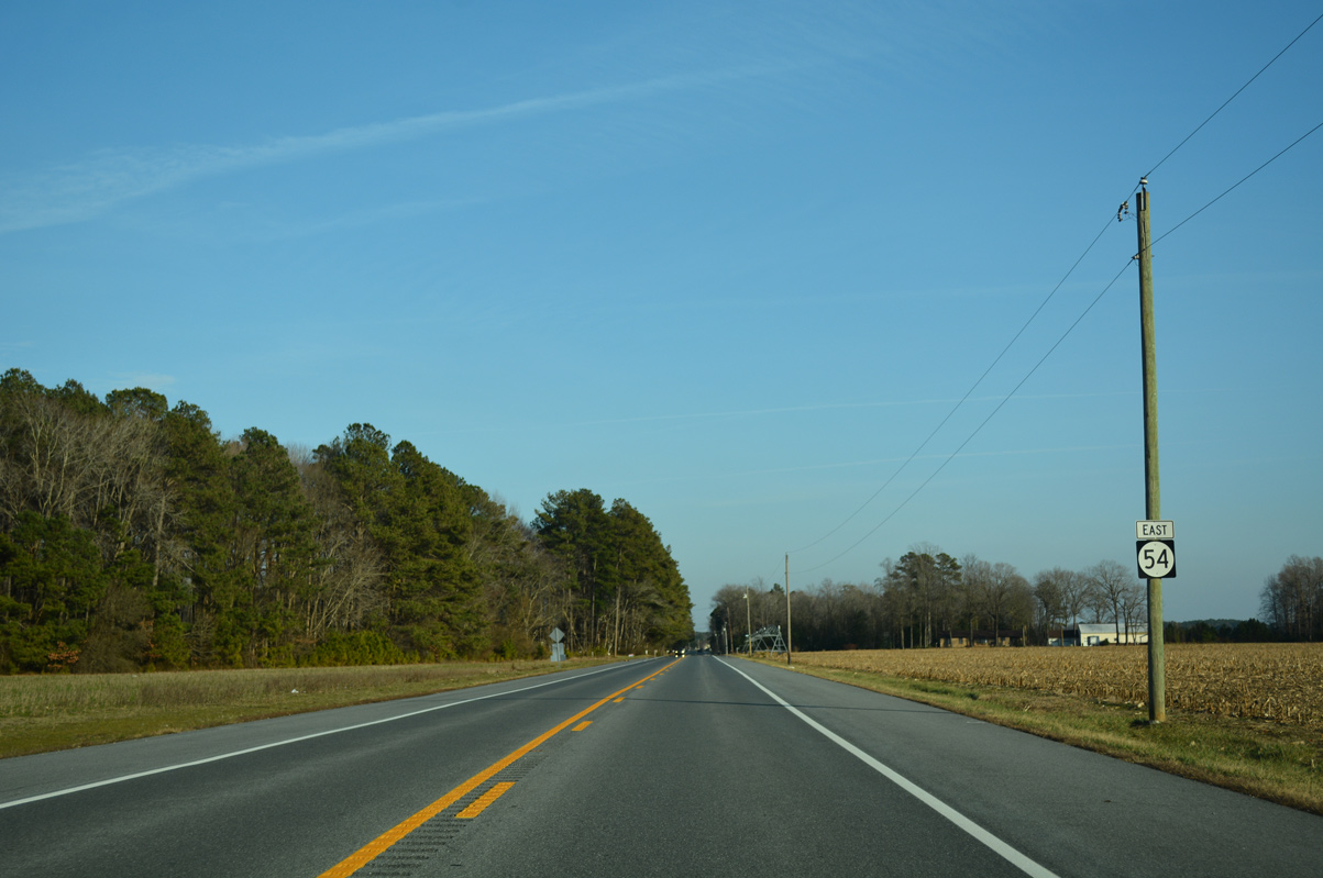
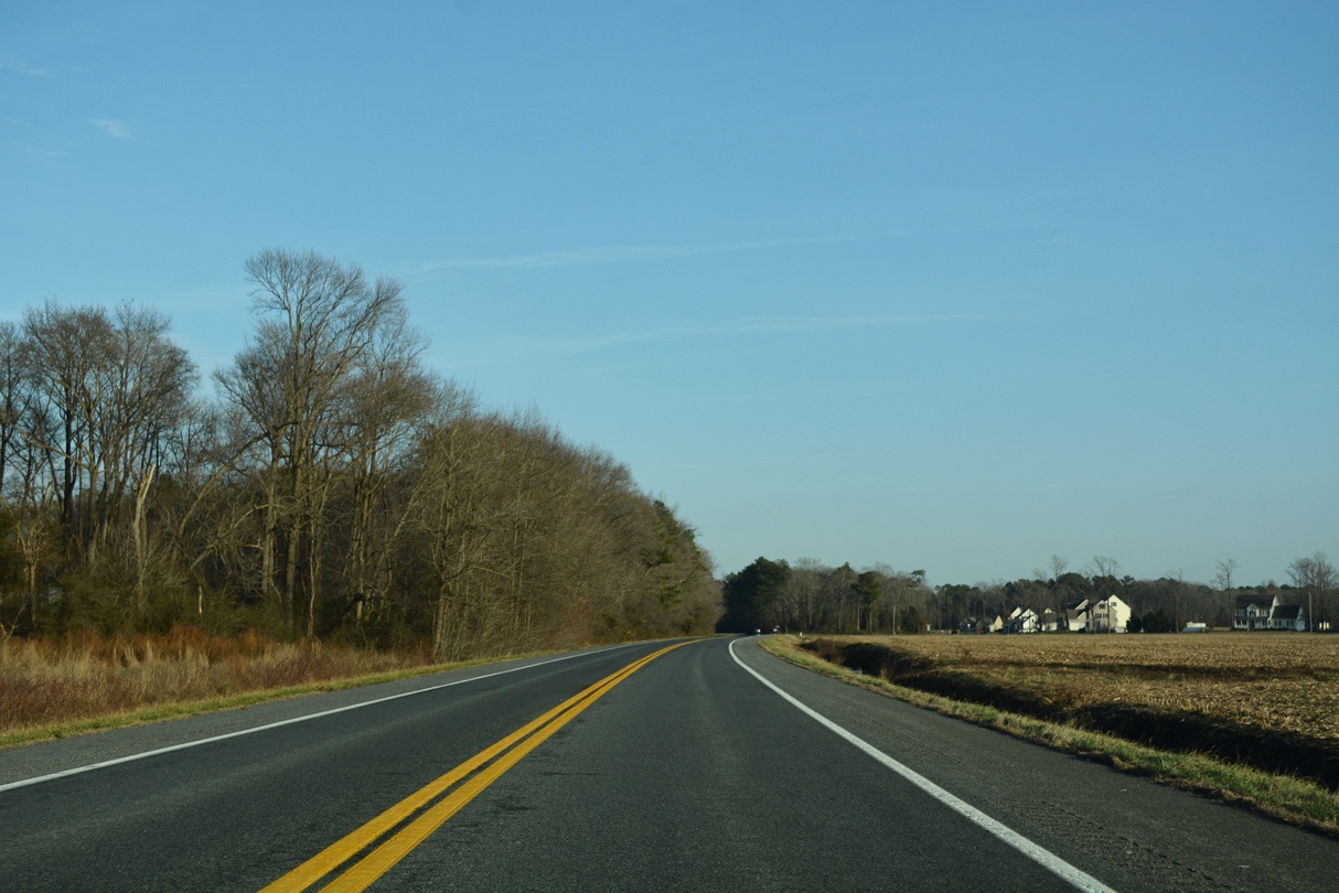
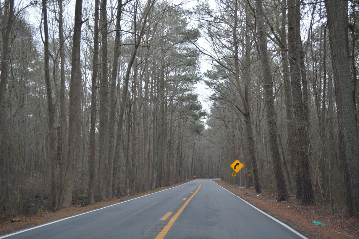
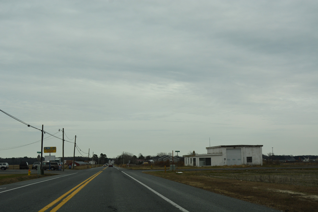
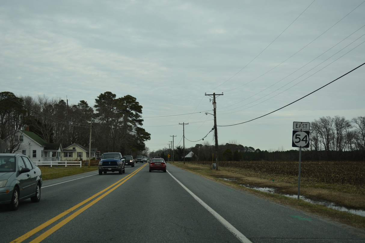
SR 54 (Delmar Road) advances east across a mix of farm and forest lands.
01/15/17
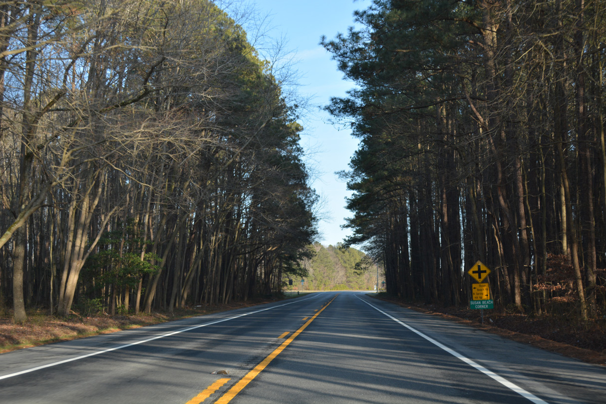
Spring Hill Road north and Susan Beach Road south come together at Susan Beach Corner along SR 54 east.
01/15/17
Reassurance marker for SR 54 east posted after Susan Beach Road.
01/15/17
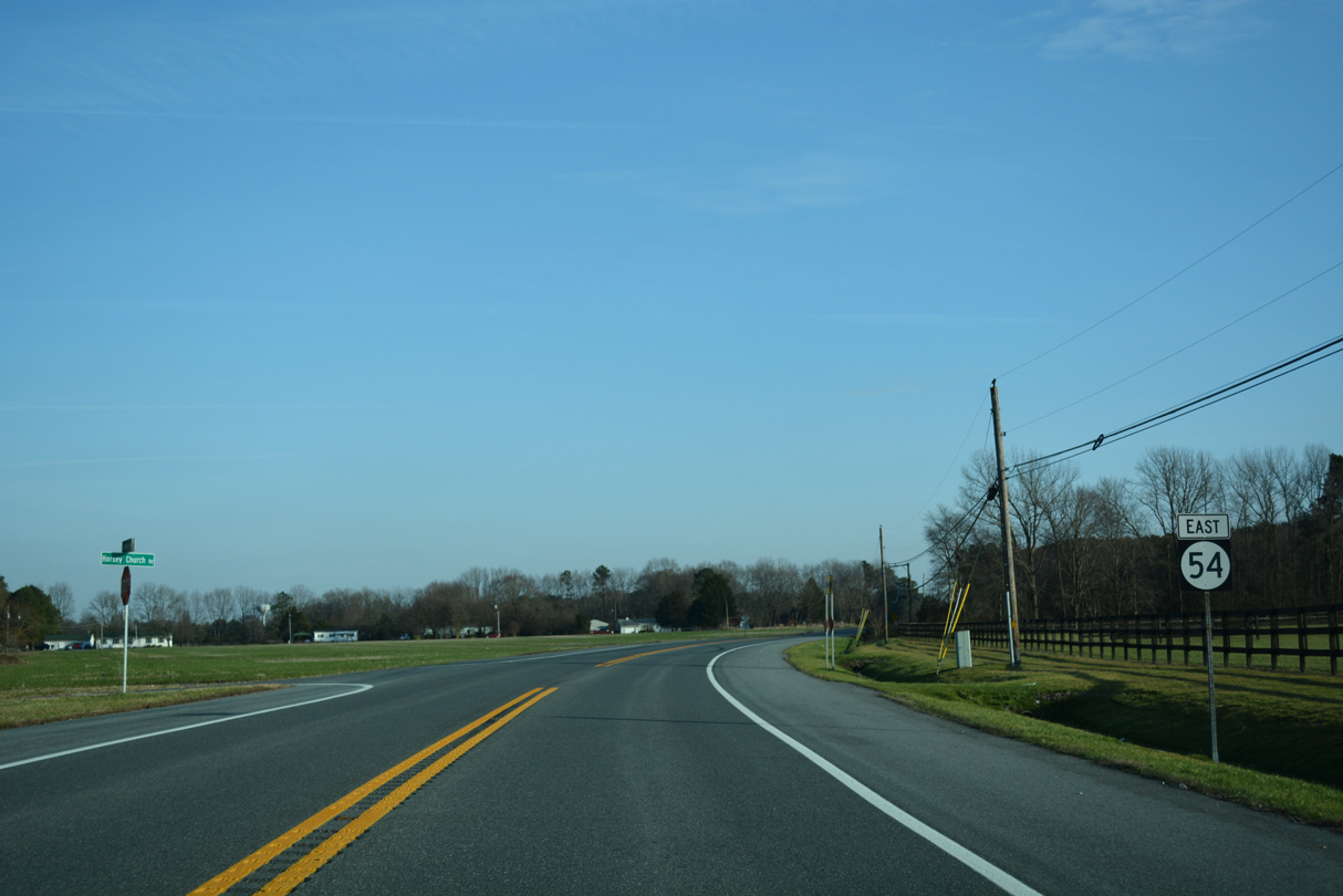
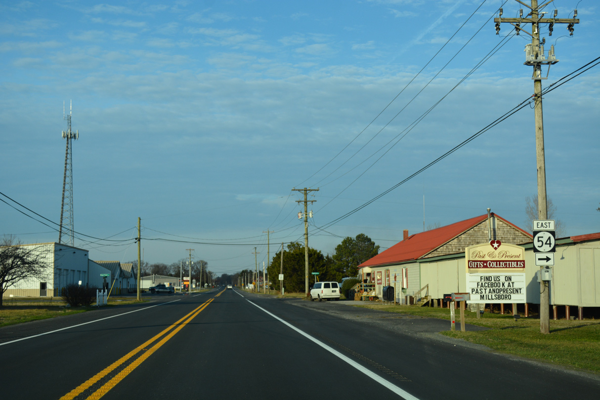
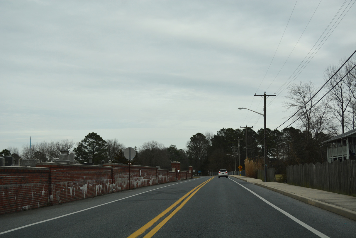
Old Racetrack Road crosses Delmar Road ahead of Horsey Church Road north as SR 54 veers southeast toward the Westerlee neighborhood and Delmar.
01/15/17
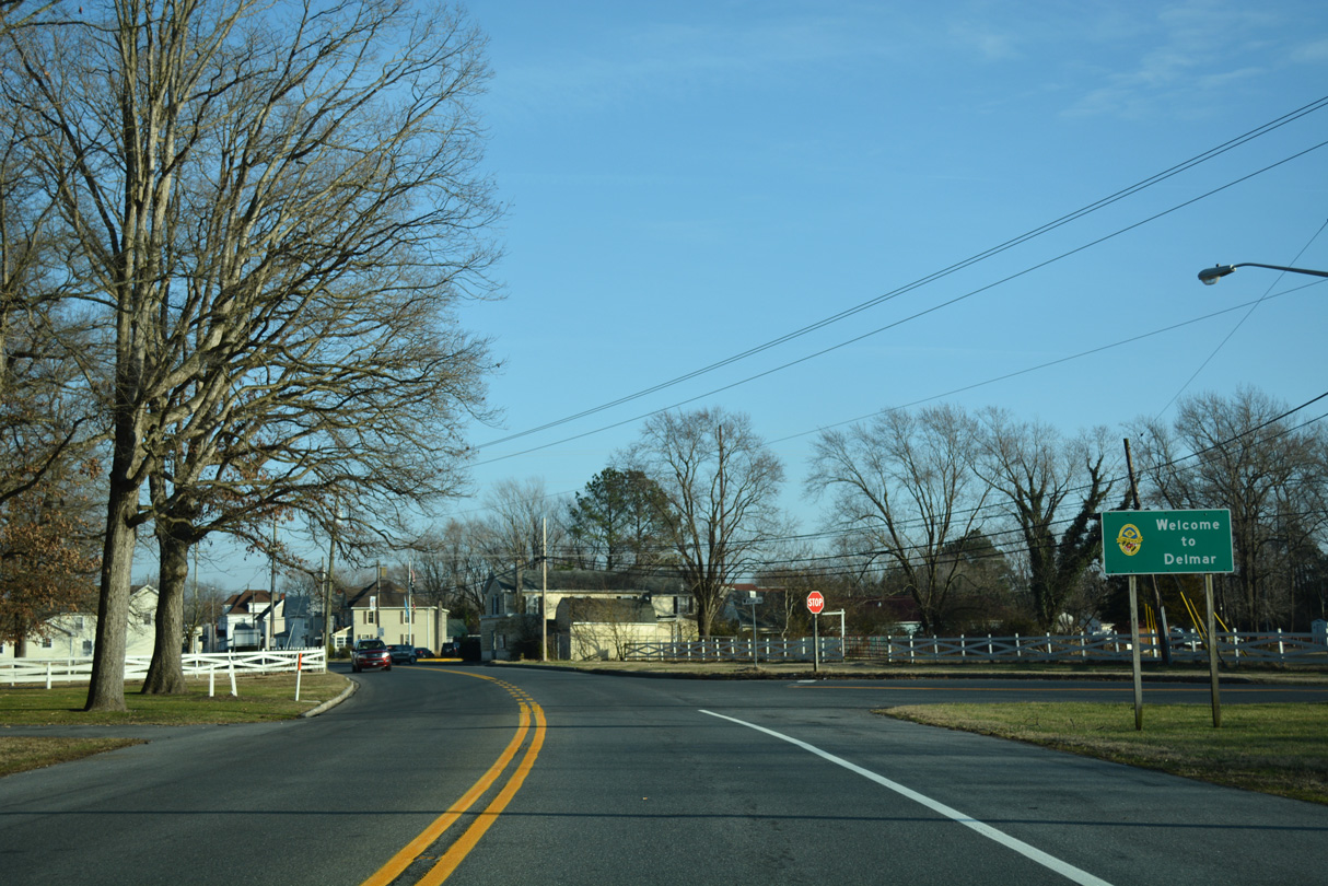
SR 54 transitions onto State Street along the Maryland state line through the town of Delmar.
01/15/17
East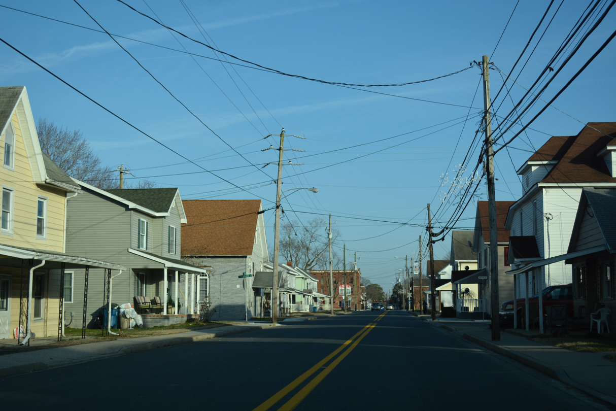
Maryland SHA maintains the alignment of MSR 54 along State Street through Delmar.
01/15/17
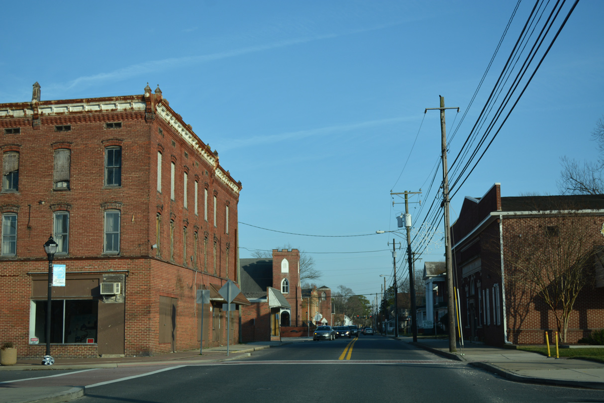
State Street crosses the Norfolk Southern Railroad between Railroad and Pennsylvania Avenues through the Delmar business district.
01/15/17

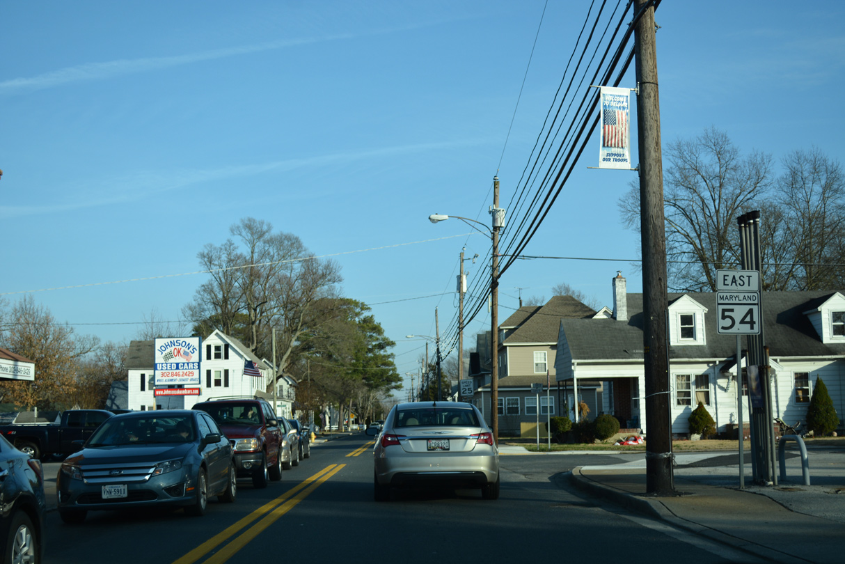
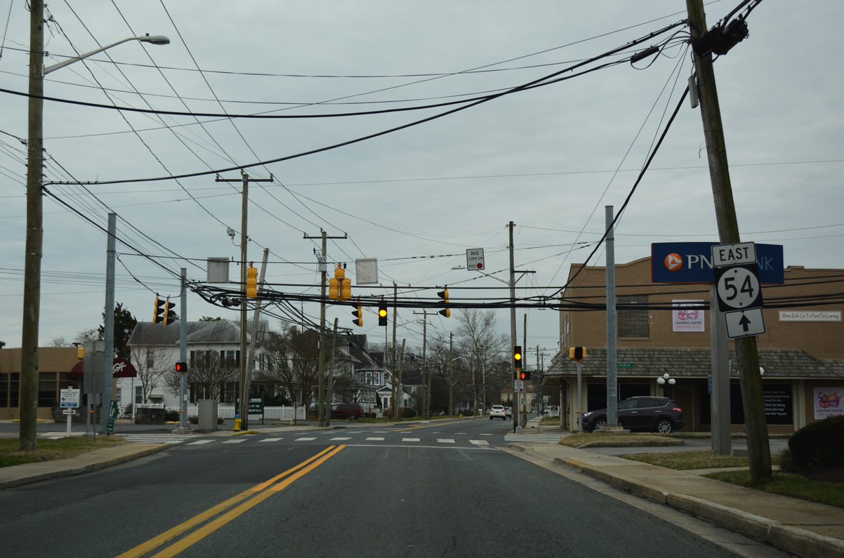
Entering the signalized intersection with Bi-State Boulevard along MD 54 (State Street) east. MD 675 follows Bi-State Boulevard south to U.S. 13 (Ocean Highway) along a 2.09 mile route to Winner Boulevard. Bi-State Boulevard north to Laurel is unnumbered, but historically was U.S. 13 Alternate.
01/15/17
Confirming marker follows along State Street east for MD 54.
01/15/17
MD 54 (State Street) continues between the Delmar street grid. Delmar, Maryland is substantially larger than the First State counterpart with over 3,000 residents.
01/15/17
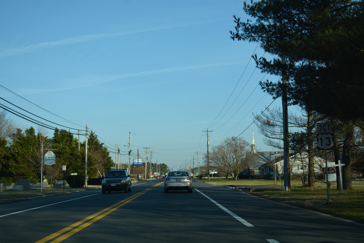
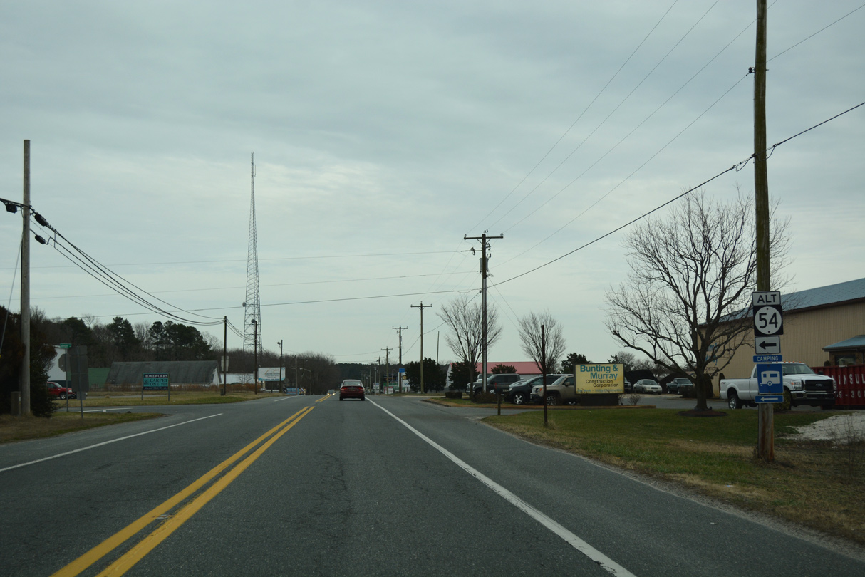
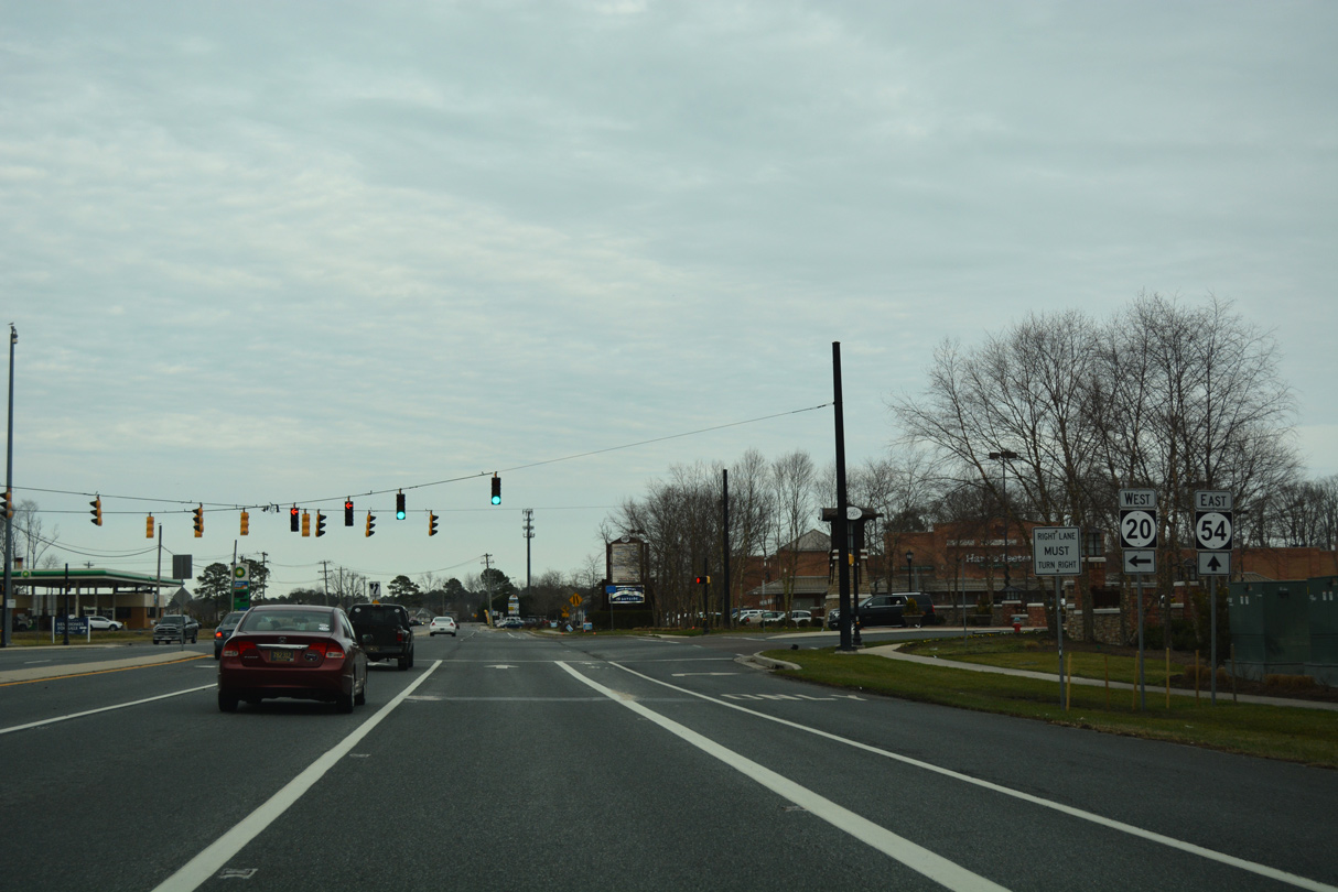
Approaching U.S. 13, MD 54 (State Street) expands in include full shoulders leading into the commercialized intersection with Sussex Highway north and Ocean Highway south.
01/15/17
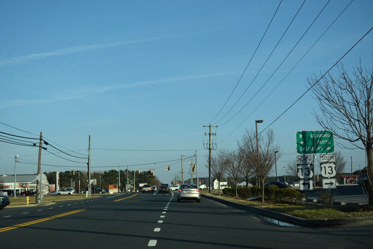
U.S. 13 represents the main highway serving the Delmarva Peninsula as it travels south to Salisbury and the Chesapeake Bay Bridge Tunnel and north to Laurel and Dover.
01/15/17
East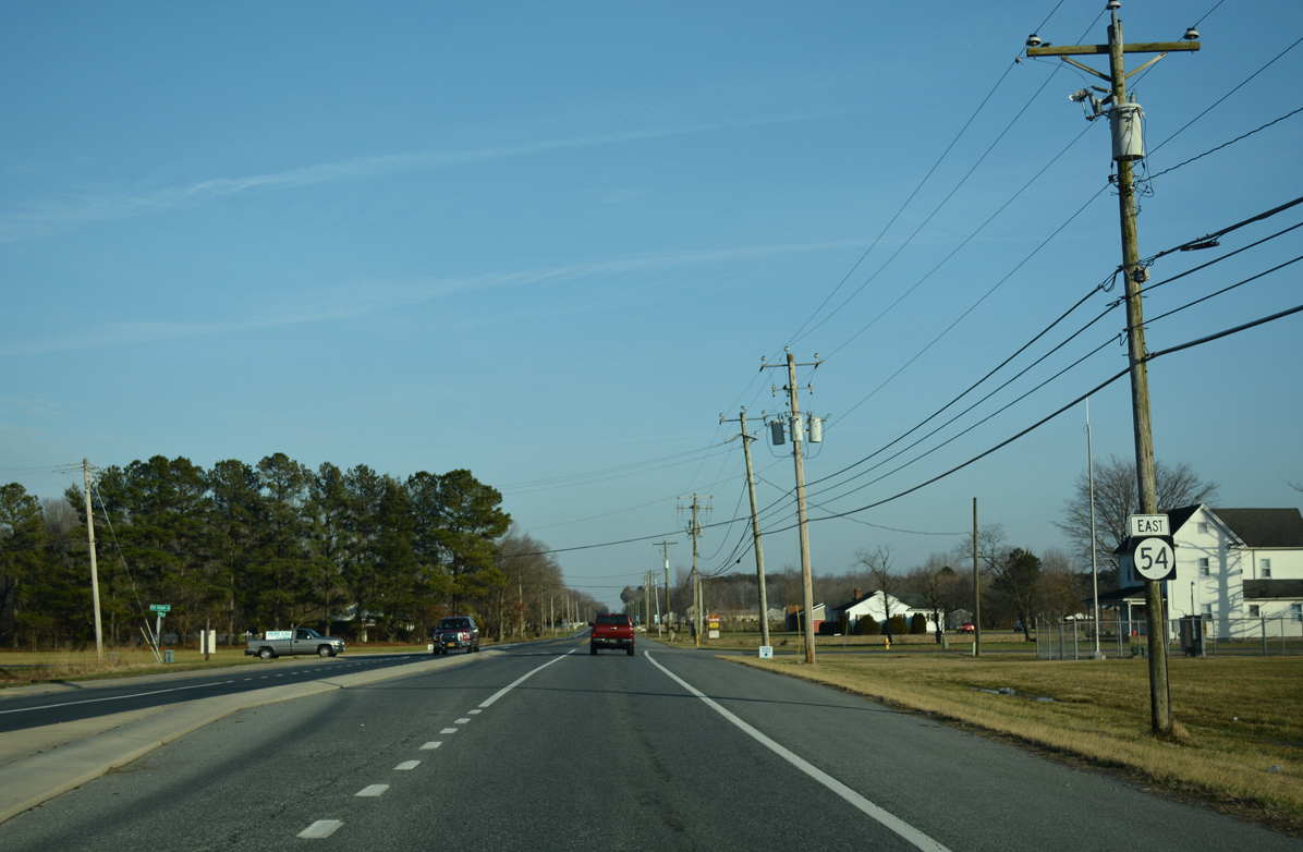
Maintenance shifts back to DelDOT as MSR 54 follows Line Road east from U.S. 13.
01/15/17
SR 54 (Line Road) overlays the state boundary to Brittingham Road, where maintenance reverts to MDSHA for the remainder of the drive east to Millsboro Highway.
01/15/17
East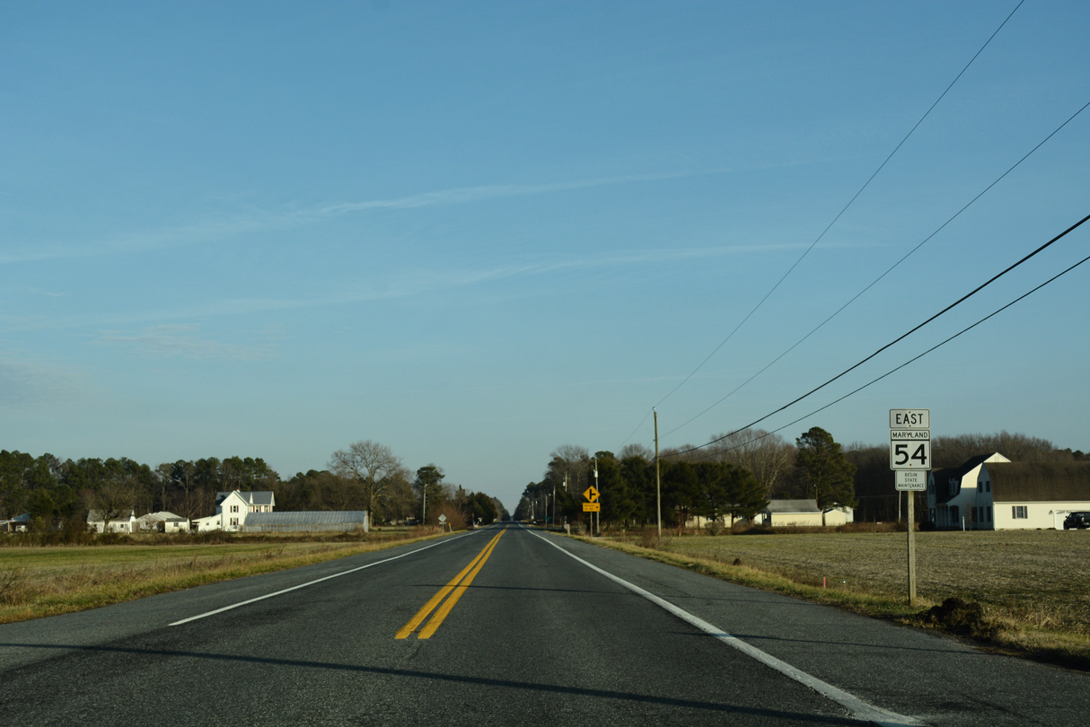
A MD 54 confirming marker stands east of Brittingham Road, representing the maintenance change. Brittingham Road meanders north to SR 30 near Smith Hill.
01/15/17
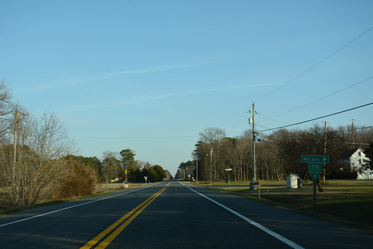
Melson Church Road stems south from MD 54 (Line Road) a short distance to Melson Road and the Wycomico County settlement of Melson.
01/15/17
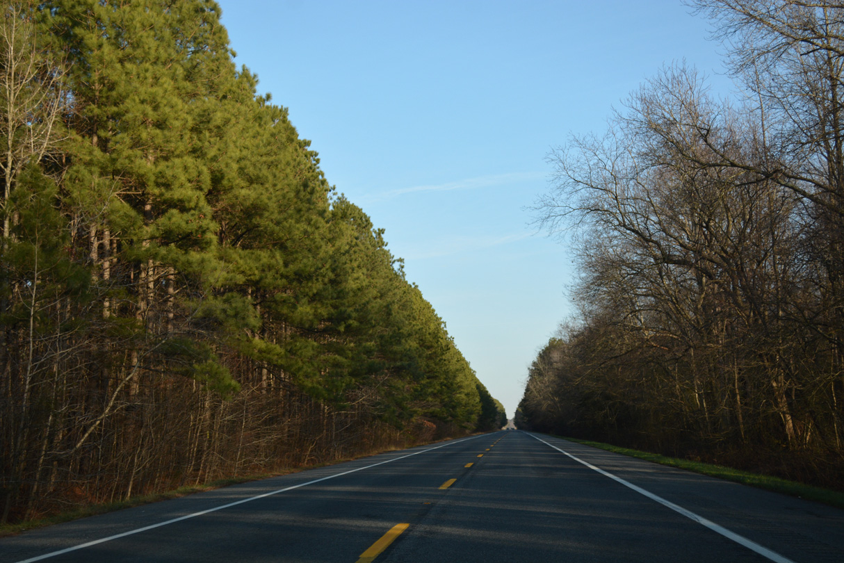
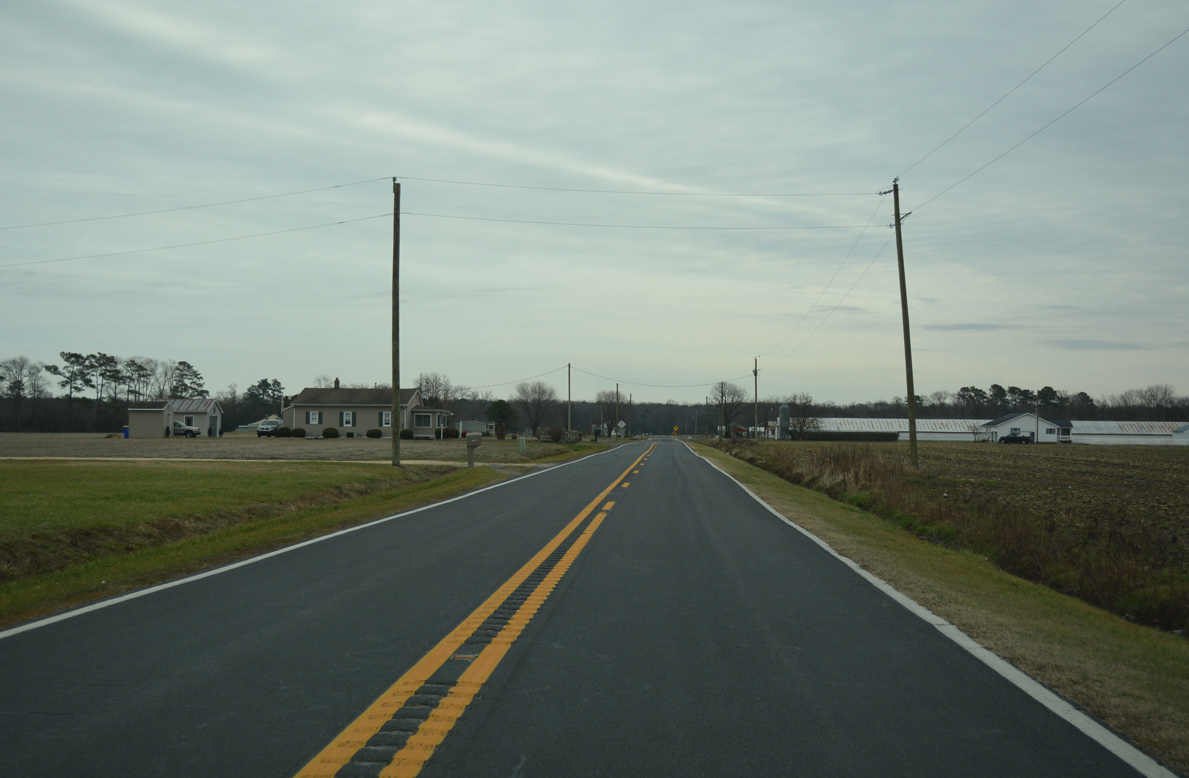
Line Road plies across forest land east from Melson Church Road to Guy Ward Road.
01/15/17
An equestrian track lies along the north side of MD 54 (Line Road) east of Guy Ward Road.
01/15/17
MD 54 dips wholly into Wicomico County ahead of Whitesville Road south and Line Church Road north to Whitesville.
01/15/17
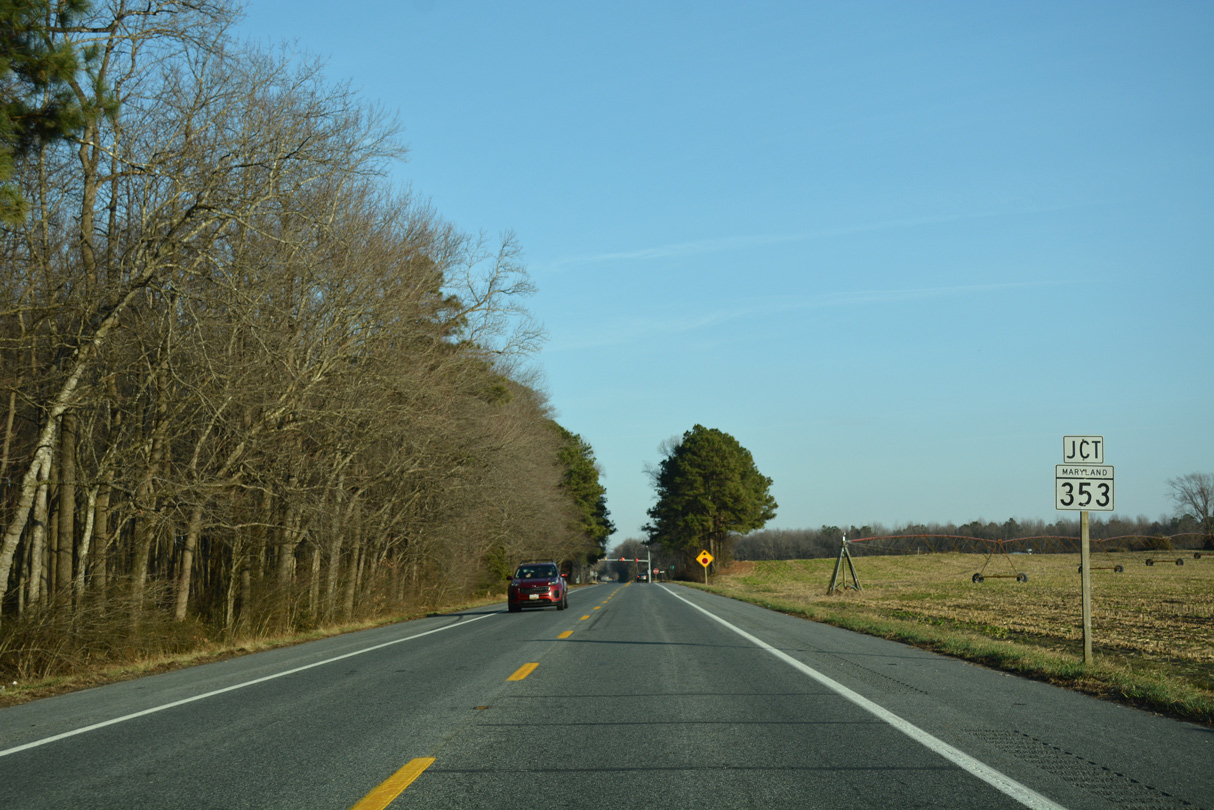
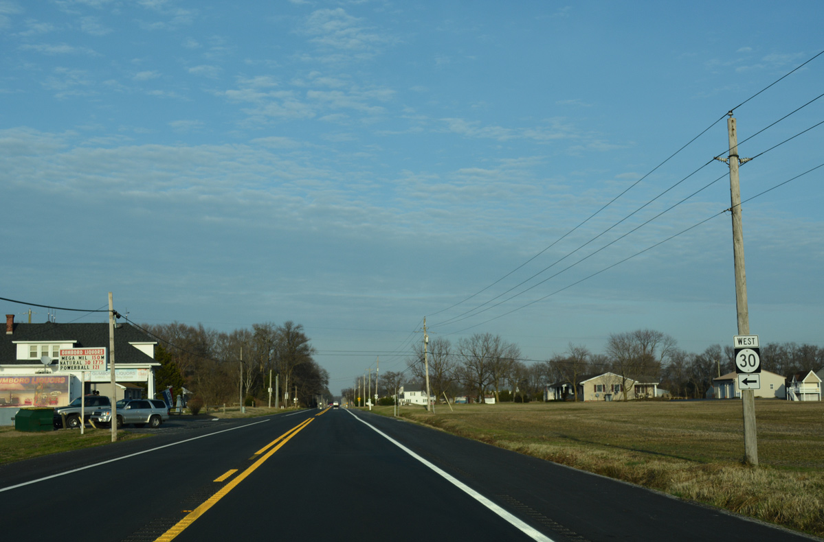
Line Road resumes along the Delaware / Maryland boundary from Stockley Road east to MD 353 (Gumboro Road) south and SR 26 (Millsboro Highway) east. Beyond the upcoming state route, Line Road continues to Bethel Road.
01/15/17
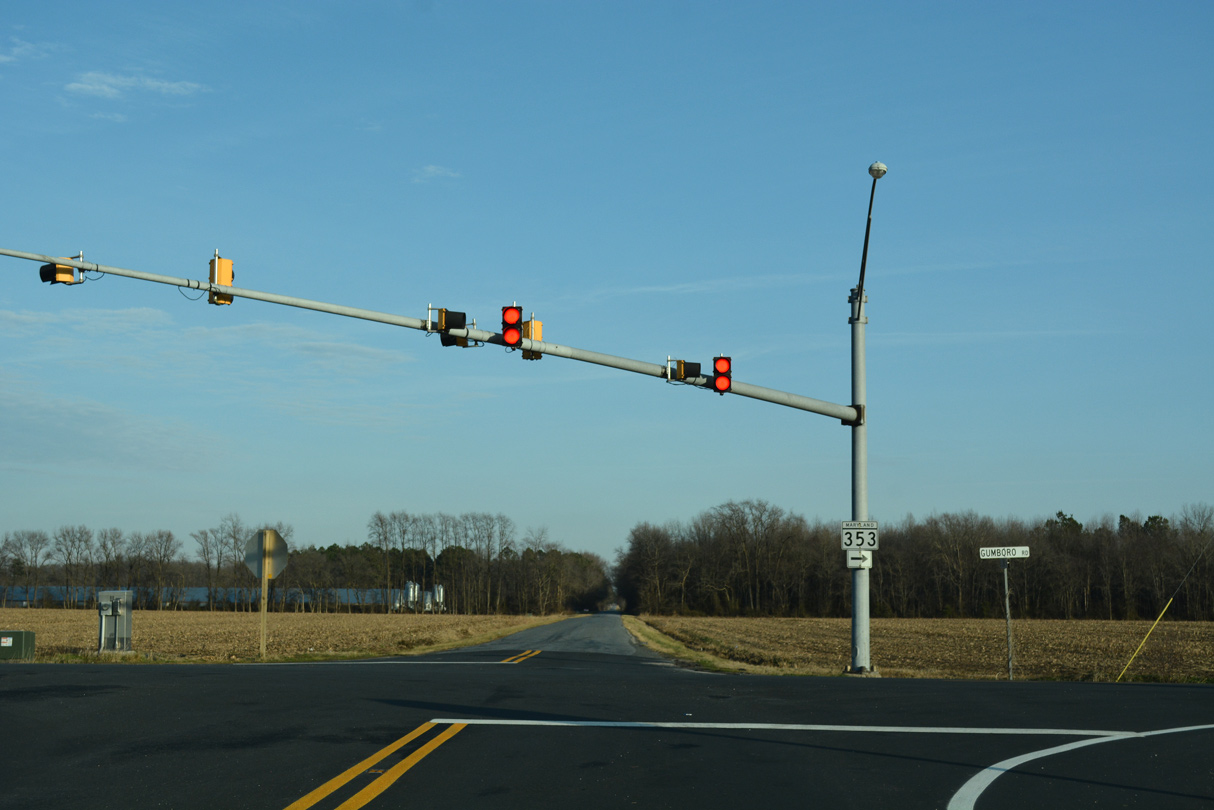
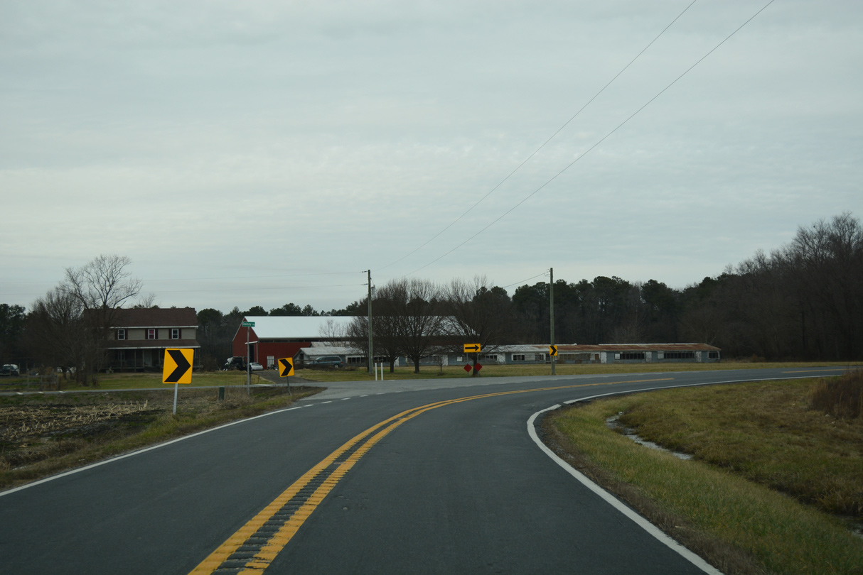
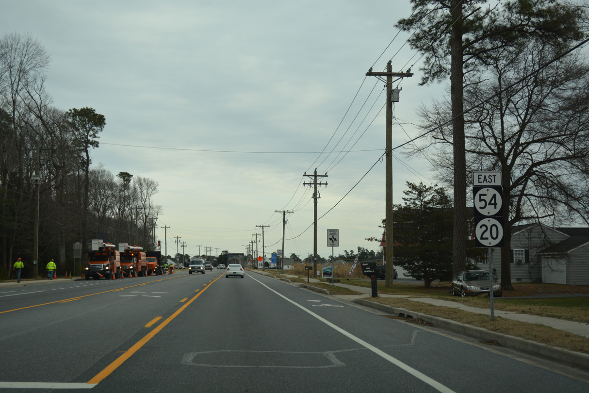
A set of flashers operate at the Line Road intersection with Gumboro Road south and Millsboro Highway north. Signs omit the SR 54 northward turn alongside SR 26 to Gumboro. MD 353 extends 4.60 miles south from the state line to MD 346 (Old Ocean City Road) in Pittsville.
01/15/17
 East
East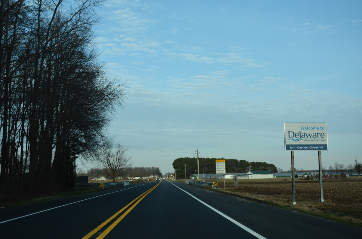
A welcome to Delaware sign follows as Millsboro Highway crosses the North Fork of Green Run.
01/15/17
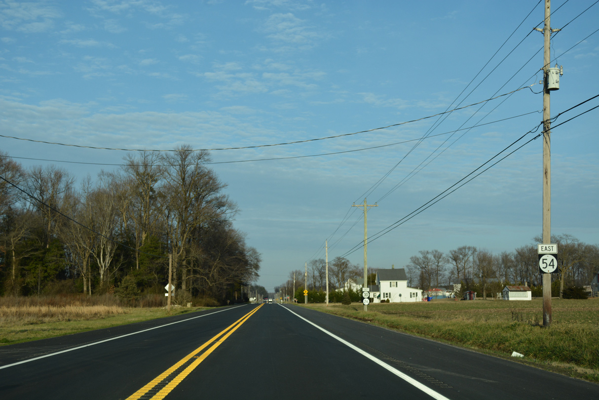
SR 30 previously tied into SR 26/54 from Whitesville Road east, 0.83 miles north of the state line. Dropped as a state route in Summer 2022, SR 30 followed a rural route west to U.S. 13 (Sussex Highway), midway between Delmar and Laurel, through Ward and Smith Hill.
01/15/17
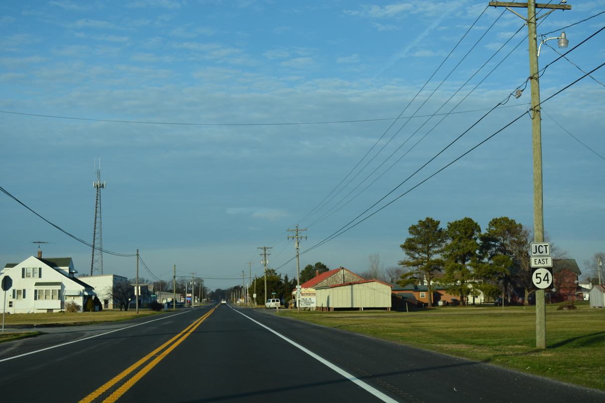
Confirming markers for what was a 1.53 mile long overlap taking SR 30 alongside SR 26/54 appeared as Millsboro Highway continues northeast into the community of Gumboro.
01/15/17
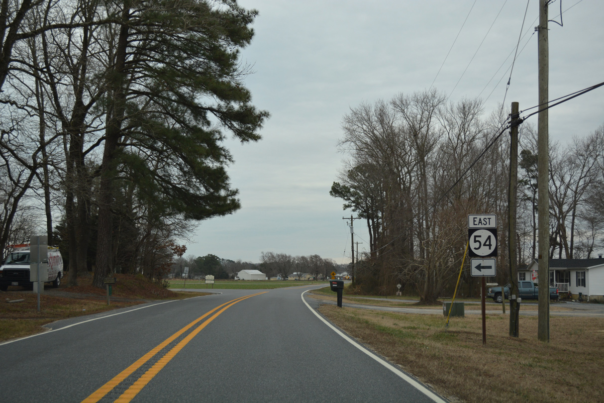
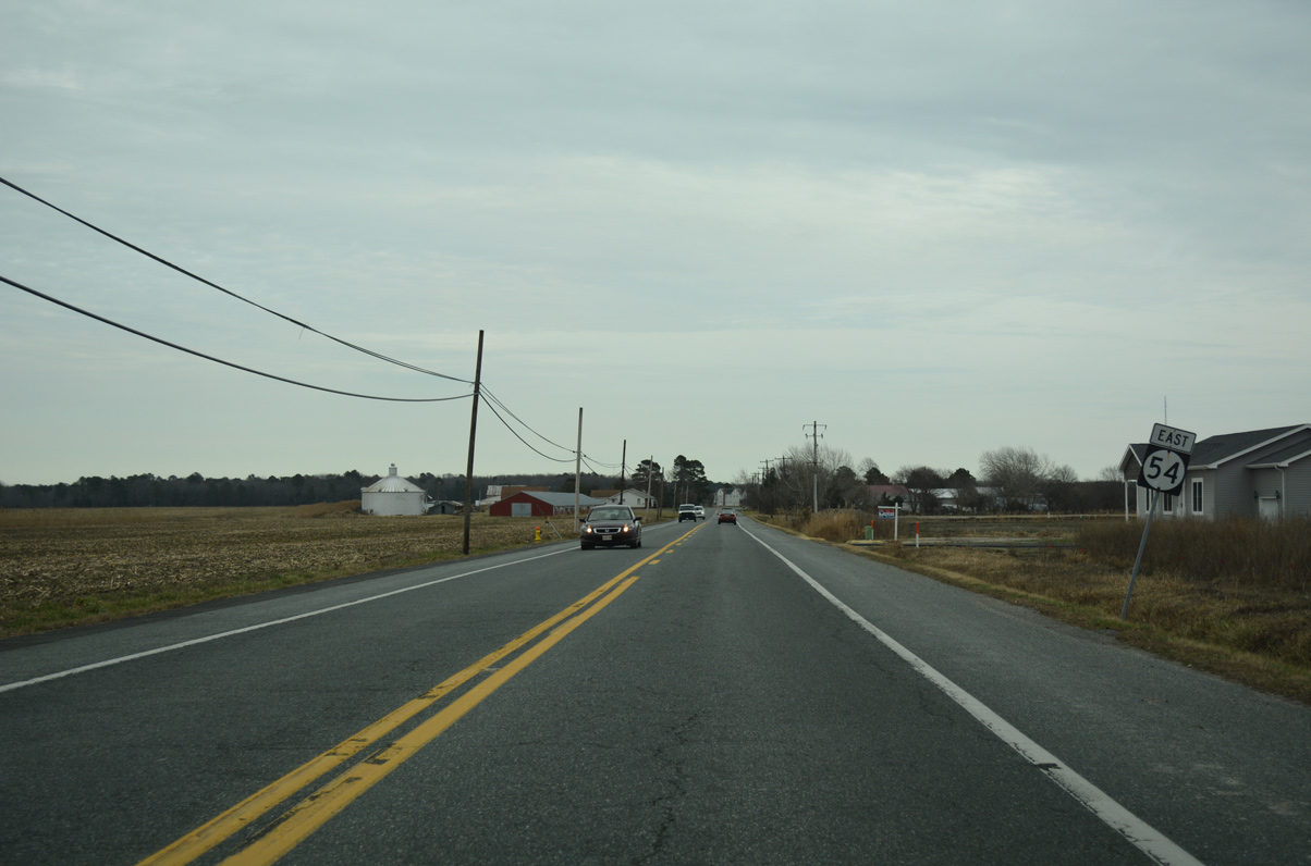
SR 54 partitions with SR 26 (Millsboro Highway) for Cypress Road east at Gumboro.
01/15/17
SR 54 meanders east across agricultural areas of Little Newfound and Big Newfound Necks to Cypress Swamp and U.S. 113 at Selbyville. SR 26 (Millsboro Highway) remains north to Shaft Ox Corner and respective routes to Dagsboro and Millsboro.
01/15/17
East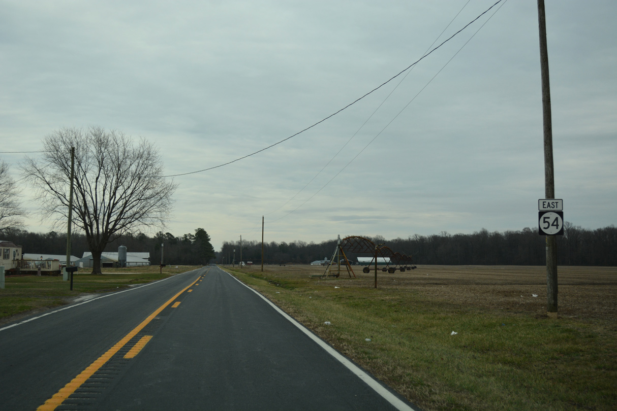
SR 54 (Cypress Road) leads away from Gumboro to cross Big Cypress Branch and the Pocomeke River at Little Newfound Neck.
01/16/17
Traveling over Newfound Neck, SR 54 curves northward from Donaway Road to Daisey Road.
01/16/17
Daisey Road heads west back to Gumboro while SR 54 turns east into Cypress Swamp.
01/16/17
SR 54 winds through a dense forest canopy as it plies across Cypress Swamp east to Lewis Neck.
01/16/17
Emerging from Cypress Swamp, SR 54 (Cypress Road) travels across open agricultural areas to Cliff Road.
01/16/17
Cypress Road arcs southward into the town of Selbyville, where SR 54 turns east onto Cemetery Road.
01/16/17
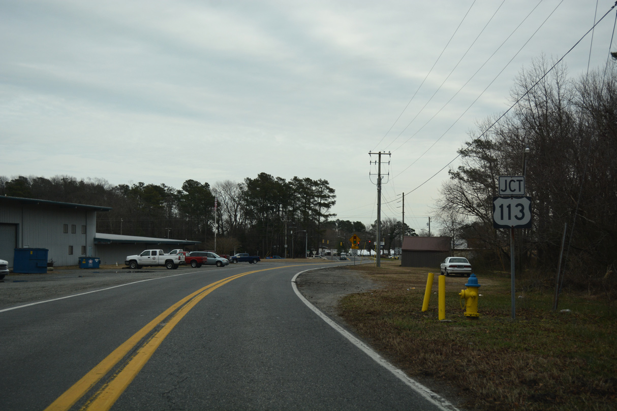
Cemetery Road leads SR 54 east to U.S. 113 (Dupont Boulevard).
01/16/17
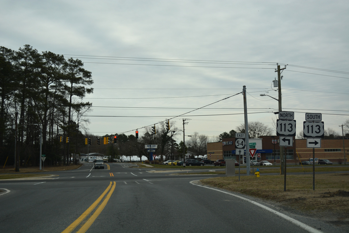
U.S. 113 (Dupont Boulevard) constitutes an arterial route through west Selbyville south to Berlin, Maryland. Northward, U.S. 113 runs along a four lane divided highway toward Frankford and Dagsboro.
01/16/17
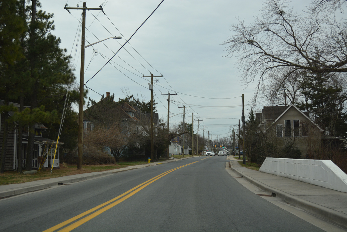
East from U.S. 113, SR 54 (Cemetery Road) runs along northern reaches of Selbyville to Main Street. A narrow stretch sandwiches between Red Men Cemetery and houses along Dellas Lane.
01/16/17
SR 54 turns south onto Main Street through Selbyville as part of its route east to Fenwick Island. Main Street becomes Pepper Road north to the town of Frankford.
01/16/17
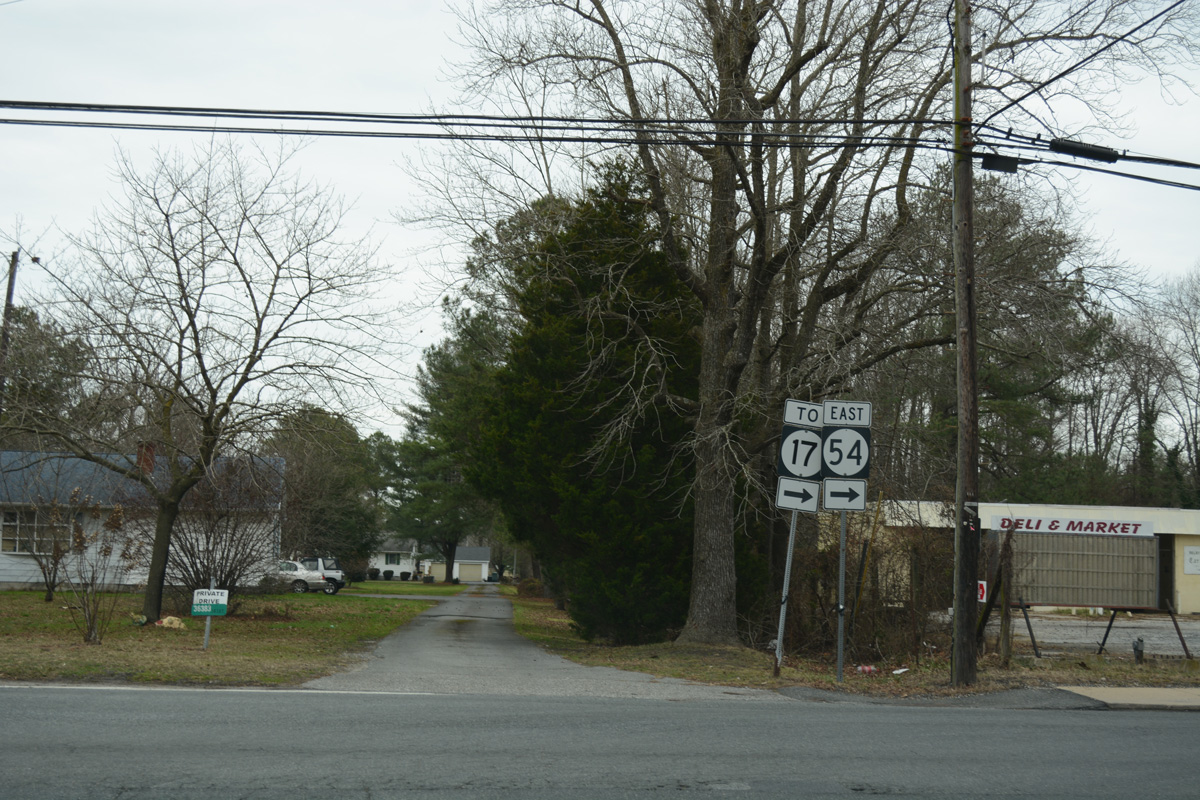
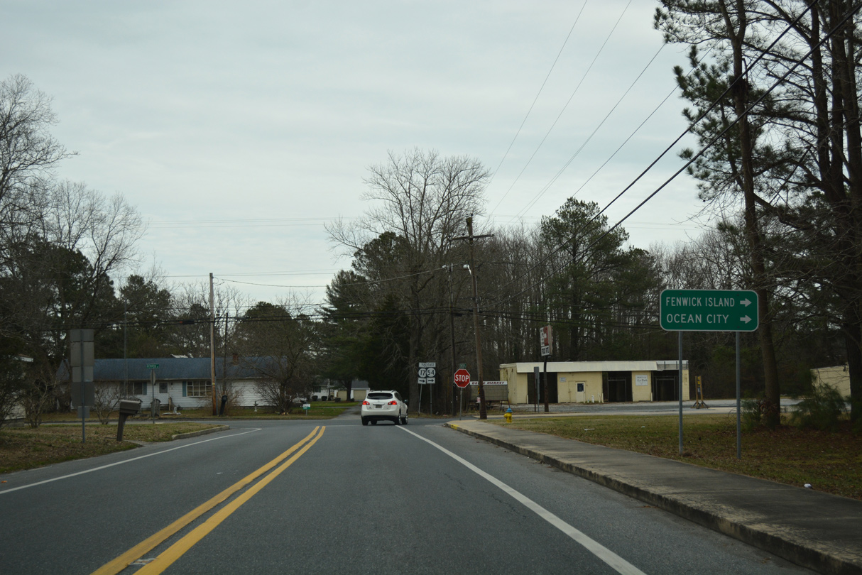
A trailblazer references SR 17 for SR 54 east from Cemetery Road to Bethany Road. SR 17 formerly connected with U.S. 113 directly via Church Street, but now begins from SR 54 on Main Street.
01/16/17
Main Street bisects Downtown Selbyville south from Sandy Branch to SR 17 (Bethany Road).
01/16/17
Entering the signalized intersection with Church Street on SR 54 (Main Street) east. Church Street angles southwest to U.S. 113 (Dupont Boulevard) near the state line as former SR 17 and dead end as a short distance east of nearby Walnut Street.
01/16/17
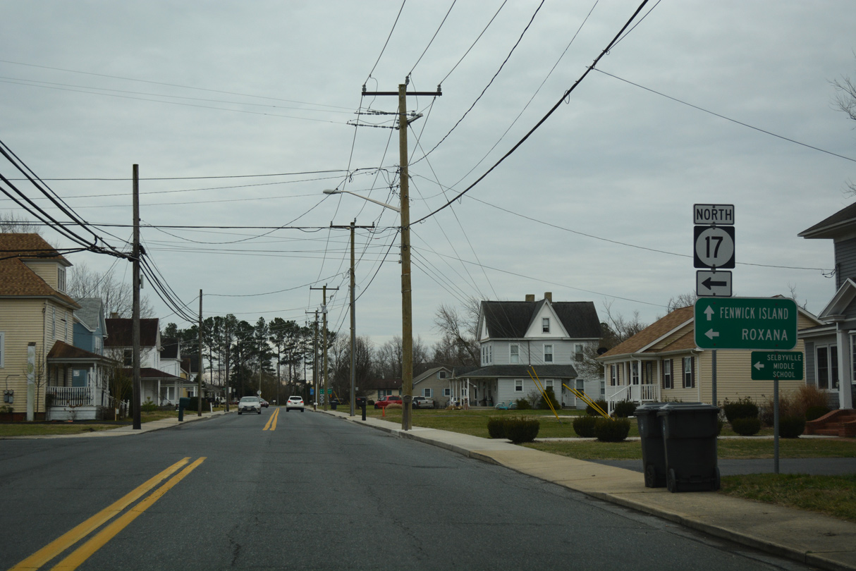
SR 17 (Bethany Road) comprises a rural route traveling northeast to Roxana and 8.3 miles to SR 26 at the town of Millville.
01/16/17
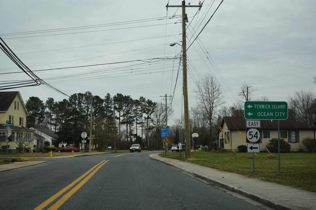
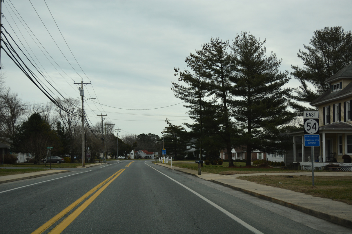
SR 54 east follows by turning east onto Lighthouse Road at the ensuing intersection of Main Street south. Main Street extends south another 0.4 miles to become Hotel Road at the Maryland state line.
01/16/17
Reassurance marker posted for SR 54 ahead of the Sandy Branch neighborhood along Lighthouse Road east in Selbyville.
01/16/17
Still within Selbyville, SR 54 (Lighthouse Road) crosses Buntlings Branch in a wooded area west of Bishopville Road.
01/16/17
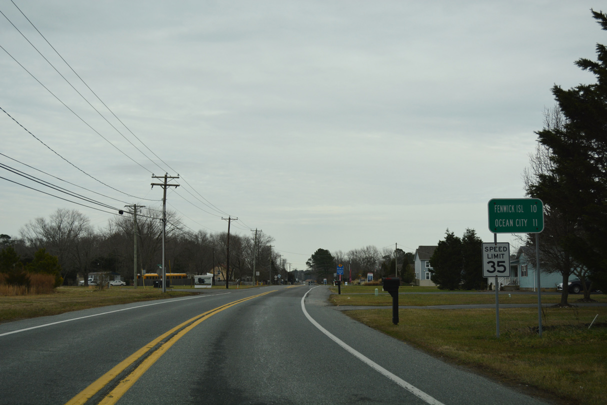
Distance sign posted ten miles from Fenwick Island and 11 miles from Ocean City, Maryland (via MD 528 south).
01/16/17
Hudson Road south becomes MD 367 en route to Bishopville. The 2.60 mile long state route ends at U.S. 113 (Worcester Highway) at Bishop.
01/16/17
SR 54 follows the Selbyville town line east from Hudson Road to the 2014-developed Lighthouse Lakes subdivision.
01/16/17
Leaving the Selbyville corporate limit, SR 54 (Lighthouse Road) next travels through the community of Bunting.
01/16/17
SR 54 Alternate follows Johnson Road northeast from SR 54 at Bunting. The alternate route utilizes a number of rural highways to connect SR 54 with Millville, Ocean View and Bethany Beach. It ends at SR 26, just west of SR 1 in Bethany Beach.
01/16/17
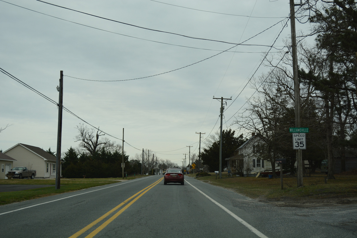
Speed limits reduce to 35, then 25 miles per hour along SR 54 (Lighthouse Road) through the community of Williamsville. West Line Road merges with the state route from Worcester County, Maryland.
01/16/17
Lighthouse Road turns northward from Williamsville Road to Dirickson Neck.
01/16/17
SR 54 expands briefly into a four lane arterial through the commercialized intersection with SR 20 (Zion Church Road) west and Americana Parkway south. SR 20 was realigned to intersect the parkway.
01/16/17
American Parkway constitutes the main entrance into the Americana Bayside golf course community. SR 20 angles northwest to Roxana and Dagsboro along a mostly rural route.
01/16/17
 East
East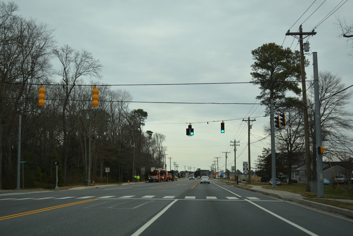
Suburban development lines both sides of SR 20/54 east to Laws Point Road, the main access road to the Shady Park and Swann Keys manufactured home communities off Dirickson Creek.
01/16/17
Reassurance markers for SR 20/54 stand along Lighthouse Road east after Laws Point Road.
01/16/17
Keenwick Road stems south from the succeeding traffic light of SR 20/54 east to the canal-lined development of Keenwick off Roy Creek and Montego Bay.
01/16/17
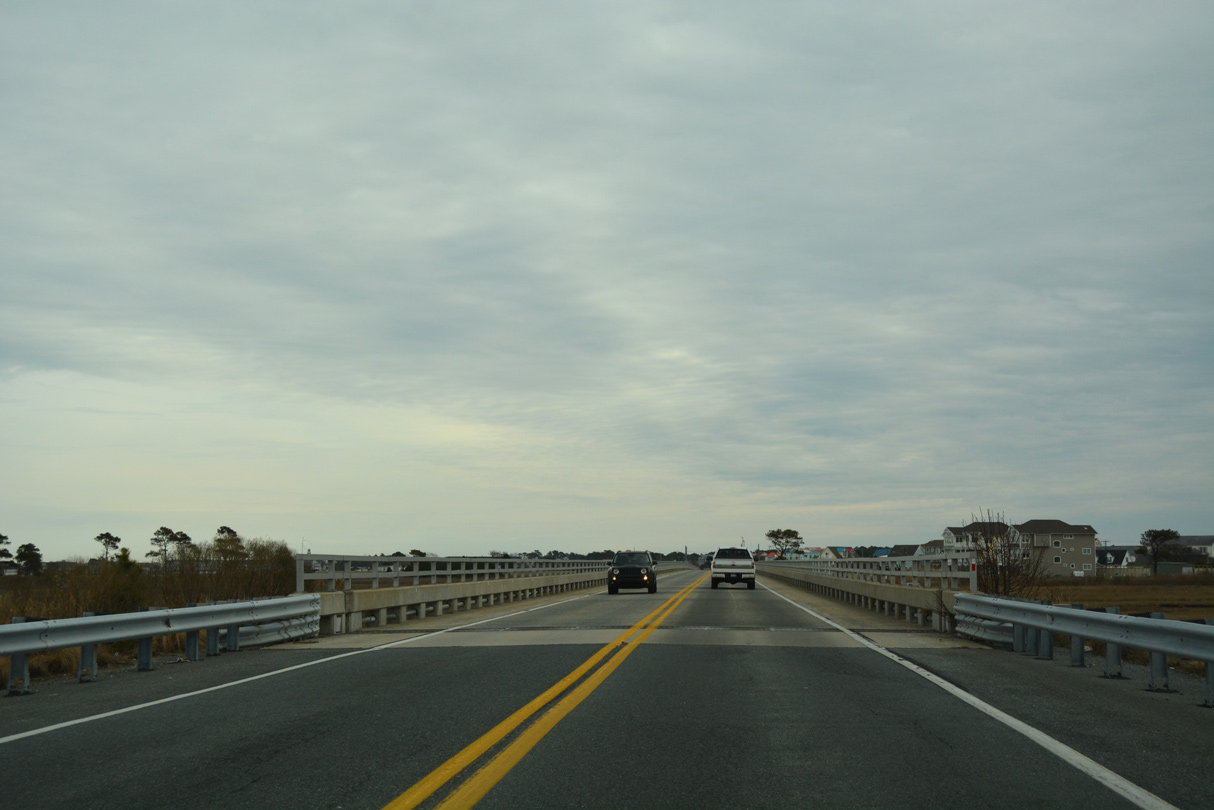
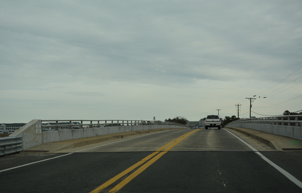
The $15.76 million project completed in August 2003 elevated SR 54 onto two viaducts. The bridges bypass flood proned stretches of Lighthouse Road along the south side.
01/16/17
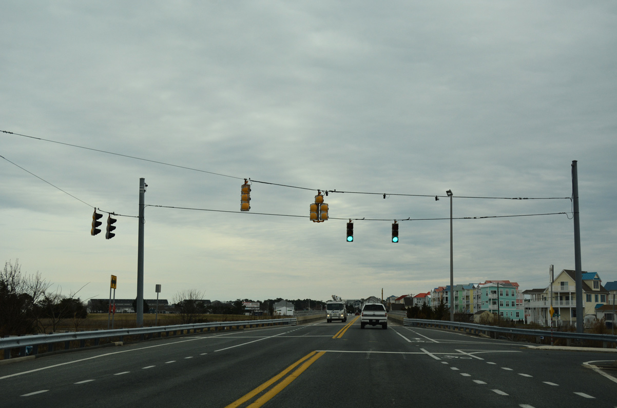
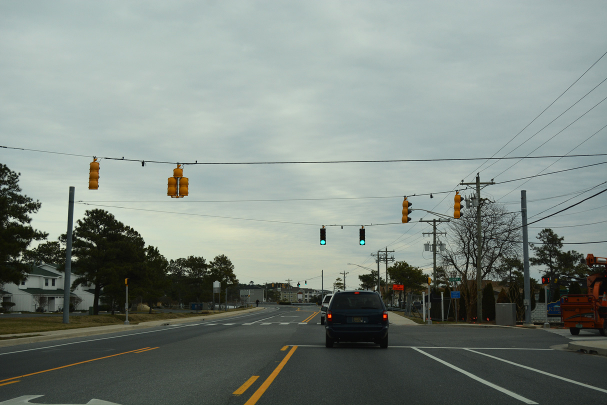
A signalized intersection connects SR 20/54 with Wilson Avenue to the Cape Windsor community. A portion of Old Lighthouse Road remains as an adjacent service road to Windsor North as well.
01/16/17
SR 20/54 east cross The Ditch onto Fenwick Island. The 1957 bridge spans the channel connecting the ways of Assawoman Bay in Maryland with Little Assawoman Bay in Delaware.
01/16/17
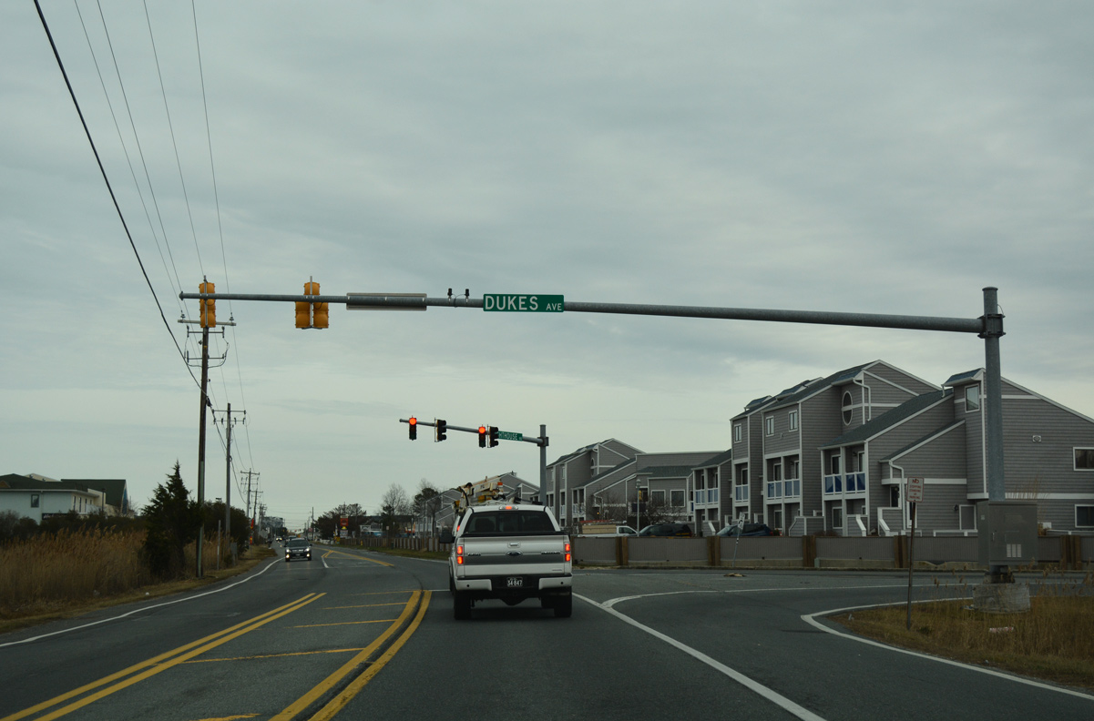
Dukes Avenue angles southwest from Lighthouse Road to North Surf Park in Ocean City, Maryland.
01/16/17
Lighthouse Road parallels the Maryland state line to the conclusion of SR 20/54 at SR 1 (Coastal Highway). SR 1 south becomes MD 528 in one block at 146th Street.
01/16/17
Lighthouse Road extends one block further from SR 1 to Bunting Avenue and a beach access point.
01/16/17
Photo Credits:
- Alex Nitzman: 01/15/17, 01/16/17
Connect with:
Page Updated Monday January 30, 2017.