
State Route 54 / Route 54 West


 West
West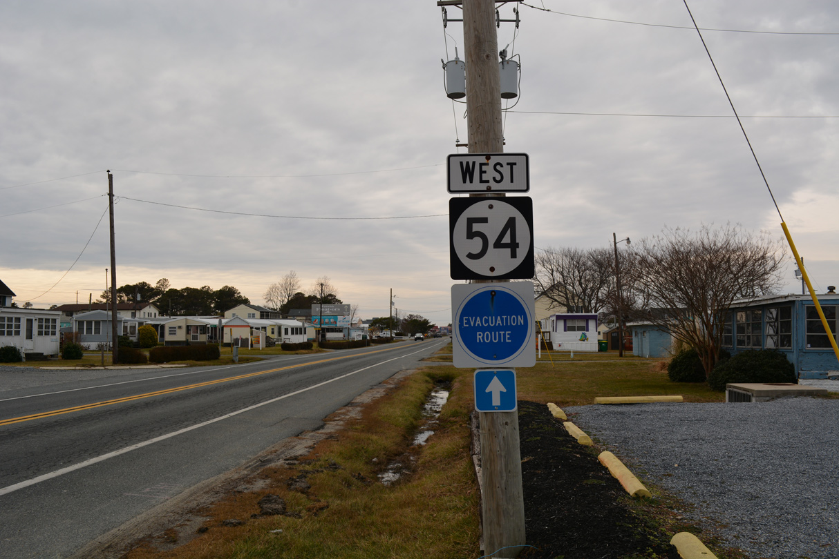
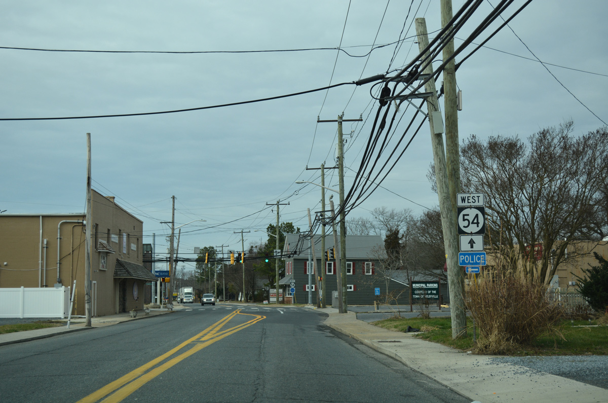
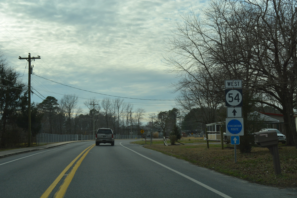
The first confirming marker for SR 54 appears just west of SR 1 (Coastal Highway) in the town of Fenwick Island. Subsequent shield assemblies include SR 20, which overlaps with SR 54 for 4.0 miles west.
01/16/17
West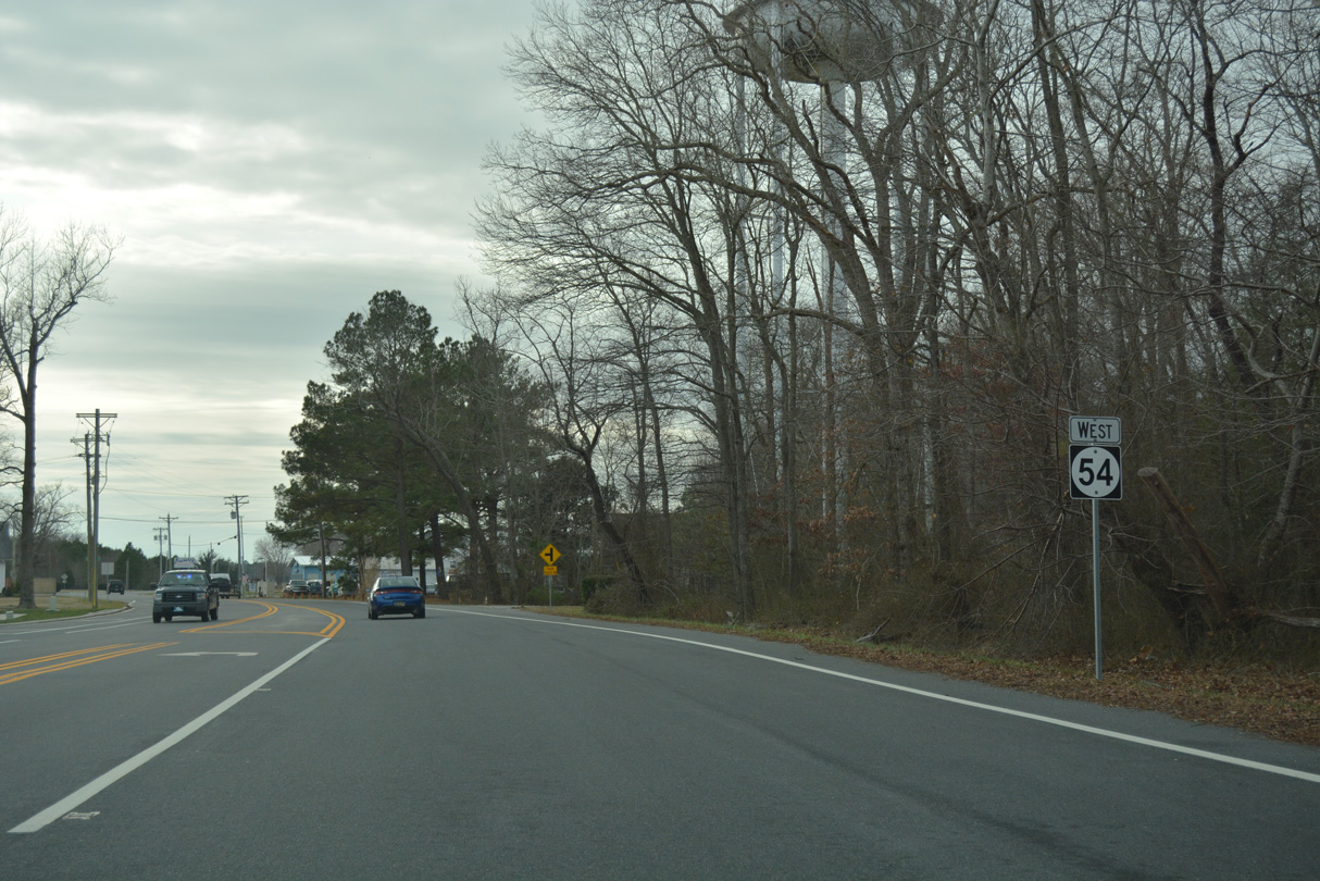
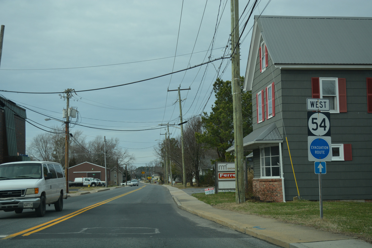
Westbound SR 54 beyond the split with SR 20 (Zion Church Road).
01/16/17
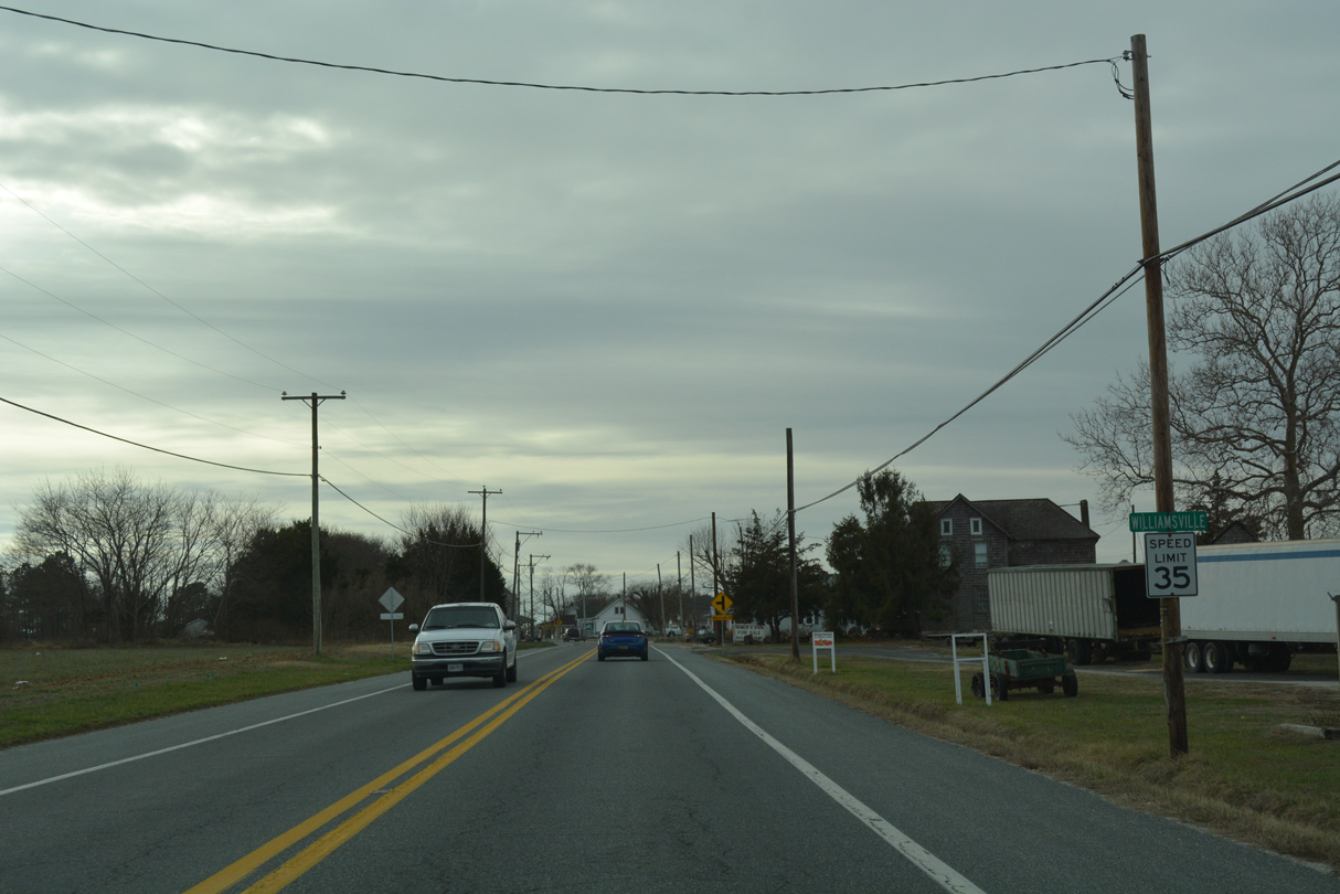
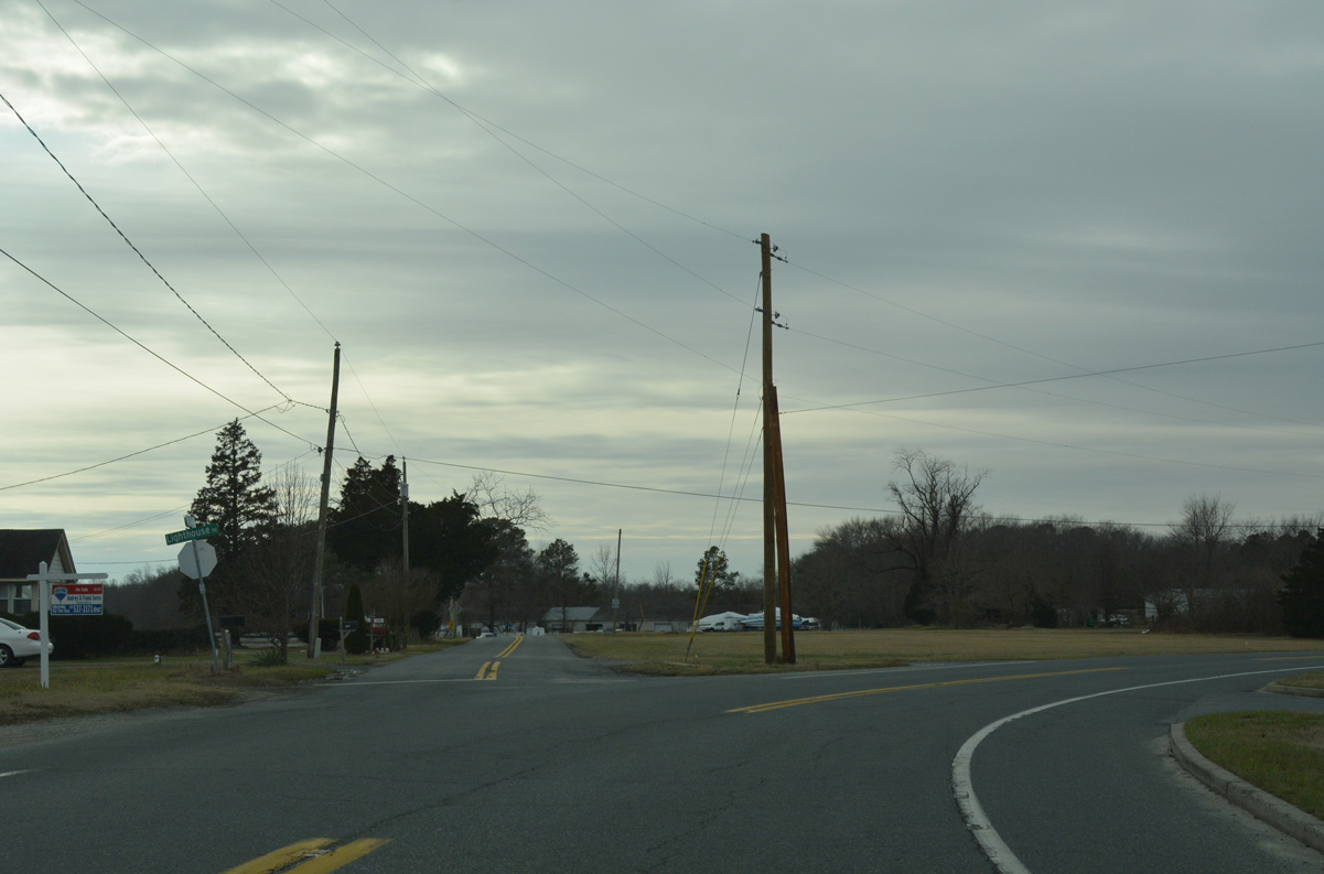
Motorists along SR 54 (Lighthouse Road) approach the rural community of Williamsville after the Americana Bayside golf course development.
01/16/17
West Line Road branches southwest from Lighthouse Road at Williamsville to Worcester County, Maryland as SR 54 curves west to Bunting.
01/16/17
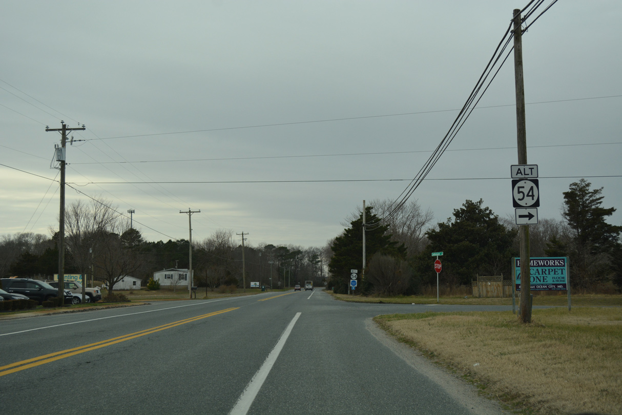
SR 54 Alternate meanders southwest from Bethany Beach, Ocean View and Millvile to end at SR 54 (Lighthouse Road) via Johnson Road.
01/16/17
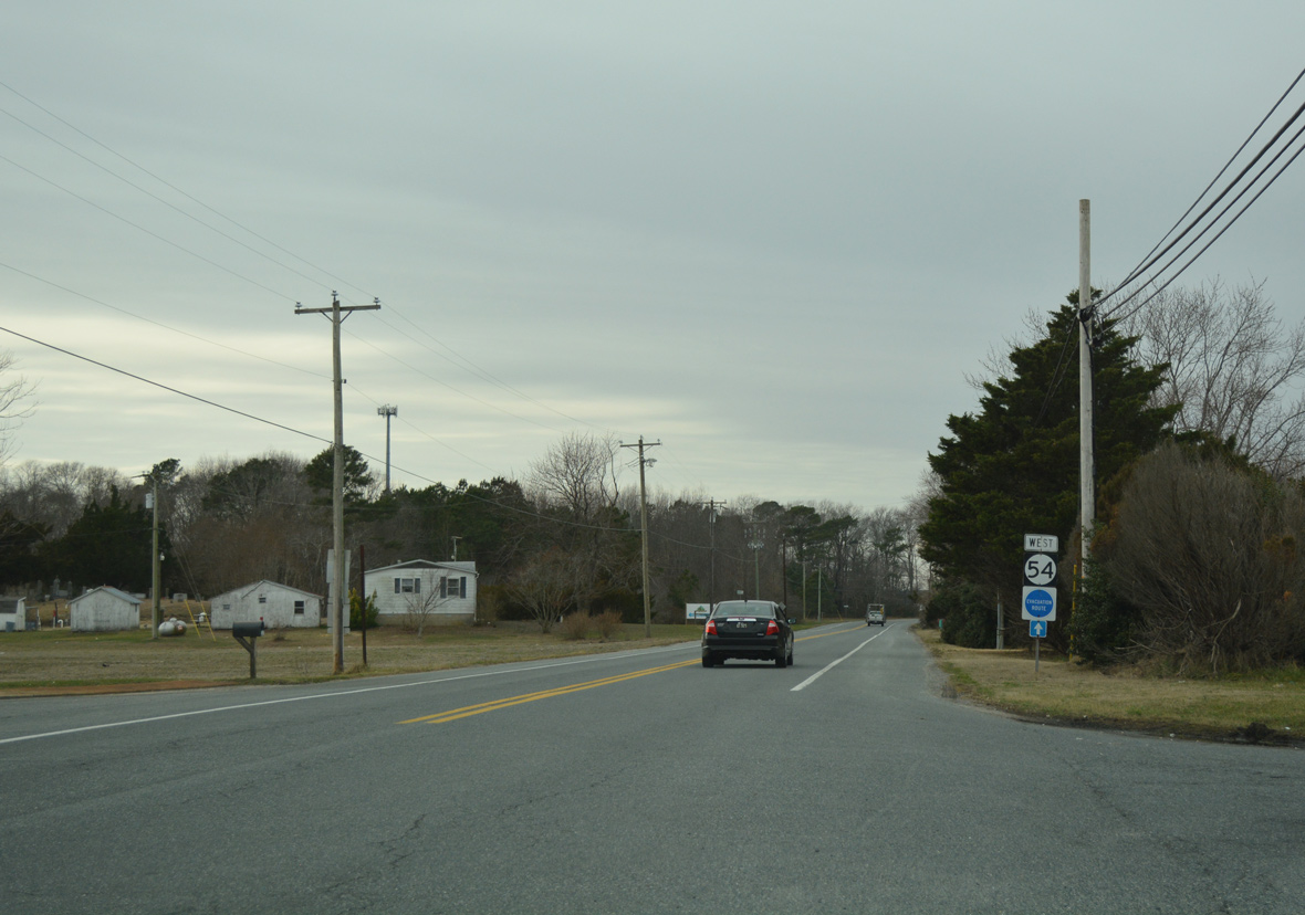
Continuing west, SR 54 (Lighthouse Road) leaves Bunting and quickly reaches the eastern outskirts of the Selbyville town limits.
01/16/17
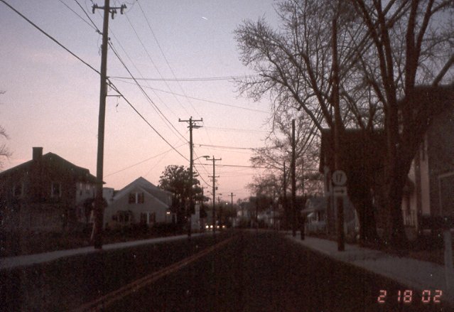
SR 17 ends just north of the SR 54 turn from Lighthouse Road onto Main Street in Selbyville. Removed by 2008, the state route was previously marked with this sign assembly on Main Street north at Bethany Road.
02/18/02
SR 54 dog legs north through Selbyville along Main Street from Lighthouse Road west to Cemetery Road west. Pictured here is a trailblazer for SR 54 posted between the south end of SR 17 (Bethany Road) and Church Street.
01/16/17

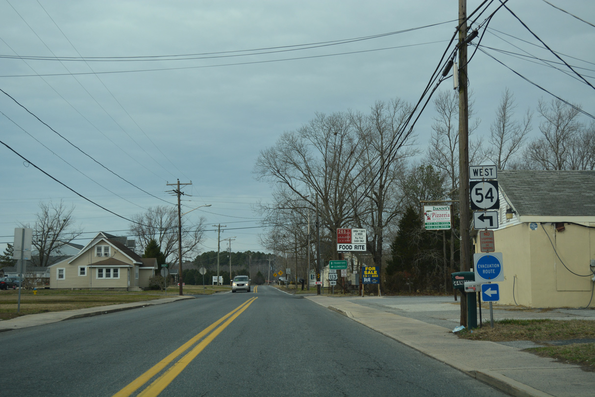
Church Street is old SR 17 leading west from Main Street and Downtown Selbyville to U.S. 113 (Dupont Boulevard).
01/16/17
A confirming marker for SR 54 west alludes the former status of Church Street as SR 17. SR 17 was truncated sometime after the 1969 signing of SR 54.
01/16/17
Main Street carries SR 54 north from Church Street to Cemetery Road. Pepper Road extends the street northward to Frankford.
01/16/17
SR 54 runs along the north side of Selbyville from Pepper Road to U.S. 113. Cemetery Road derives its name from Red Man Cemetery, located just west of Main Street.
01/16/17
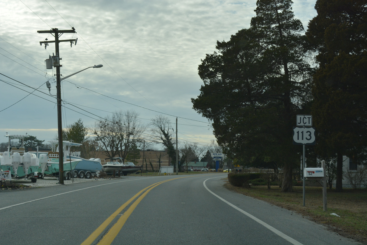
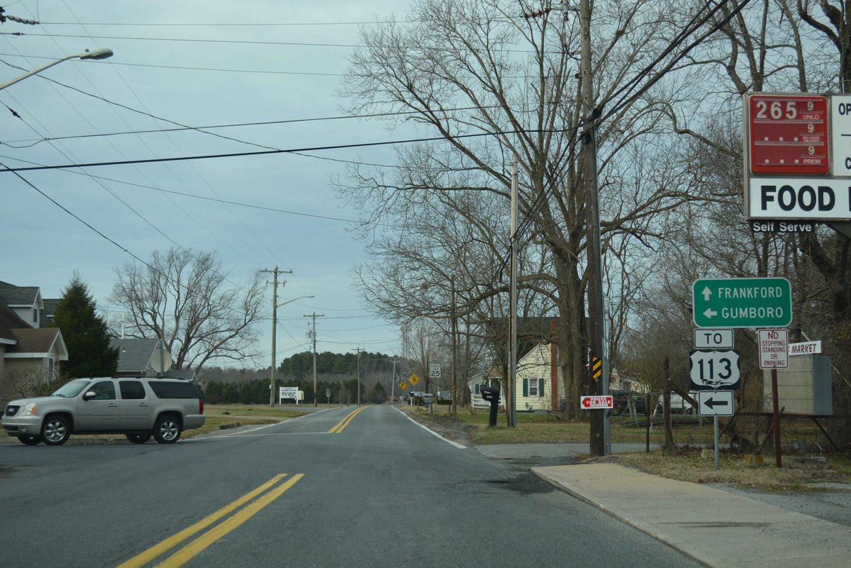
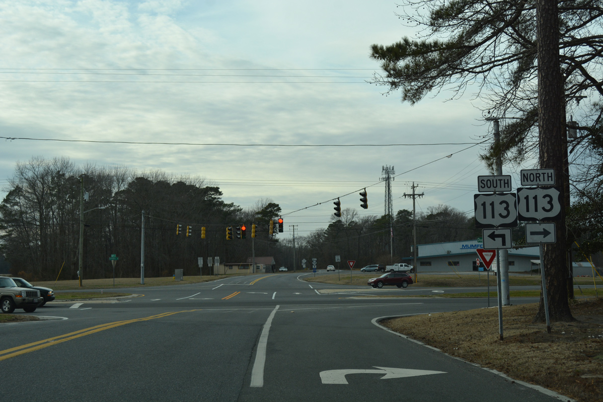
U.S. 113 and SR 54 cross path just north of the Selbyville commercial strip along Dupont Boulevard.
01/16/17
A two-state route traveling 75 miles, U.S. 113 arcs southwest from Selbyville to Berlin, Snow Hill and Pocomoke City and northwest to Millsboro, Georgetown and Milford.
01/16/17
 West
West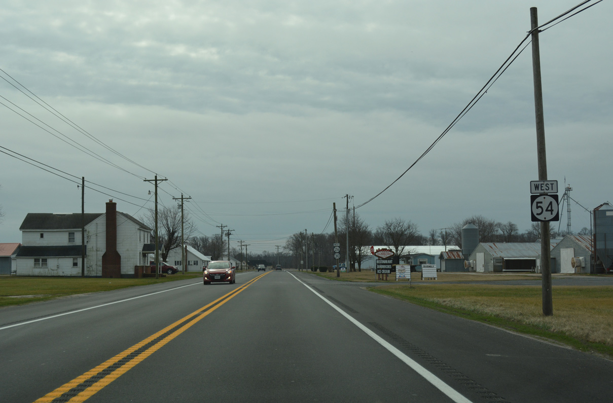
Advancing south from Gumboro, SR 26/54 (Millsboro Highway) overlap 2.37 miles to MD 383 and the Maryland state line.
01/16/17
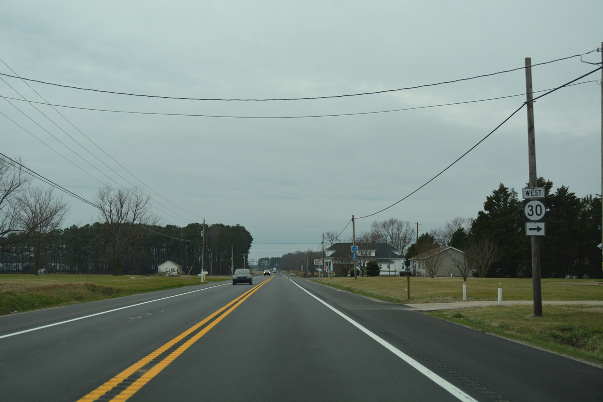
SR 30 separated with SR 26/54 (Millsboro Highway) for a rural course 10.14 miles west along Whitesville Road (Road 64) to U.S. 13, midway between Delmar and Laurel. SR 26/54 continue 0.75 miles south to the Maryland state line at Wicomico County.
01/16/17
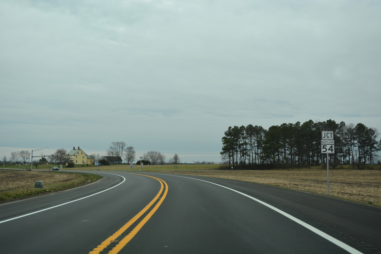
Curving more southward, Millsboro Highway nears the intersection with MD 54 (Line Road) west and MD 353 (Gumboro Road) south.
01/16/17
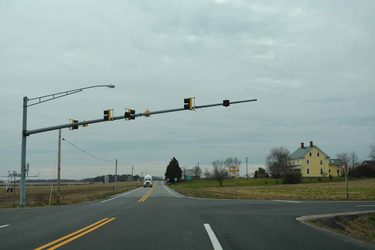
Line Road east becomes Bethel Road en route to Bethel while MD 353 begins along Gumboro Road south. MD 353 runs 4.60 miles to MD 346 (old U.S. 50) at Pittsville.
01/16/17
 West
West
Maryland SHA maintains Line Road west from SR 26 (Millsboro Highway), 4.78 miles west to Brittingham Road.
01/16/17
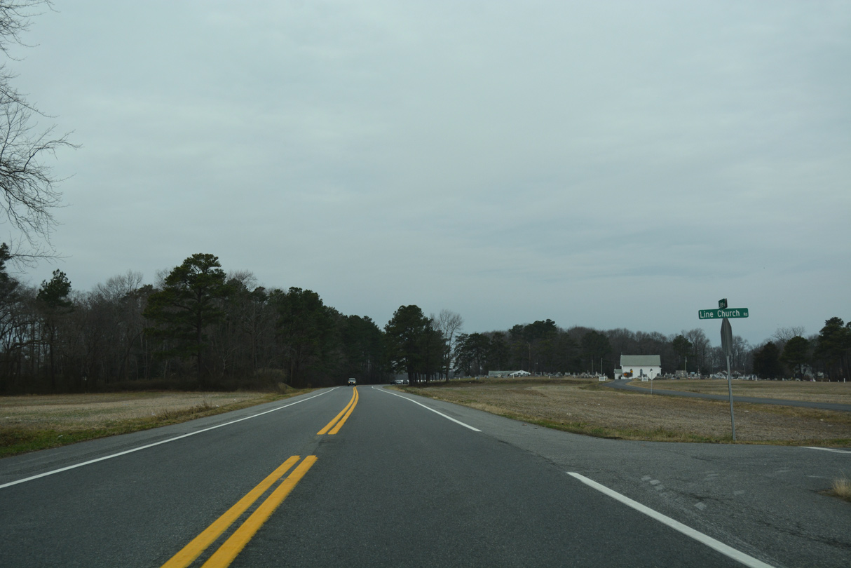
MD 54 (Line Road) kinks southward at Line Church Road to fully enter Wicomico County for three quarters of a mile.
01/16/17
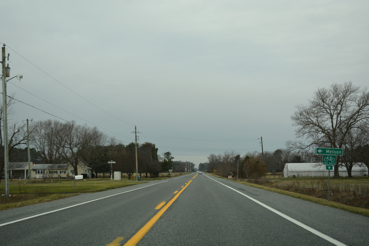
Melson Church Road links MD 54 (Line Road) with Melson Road at Melson, 0.8 miles to the south.
01/16/17
West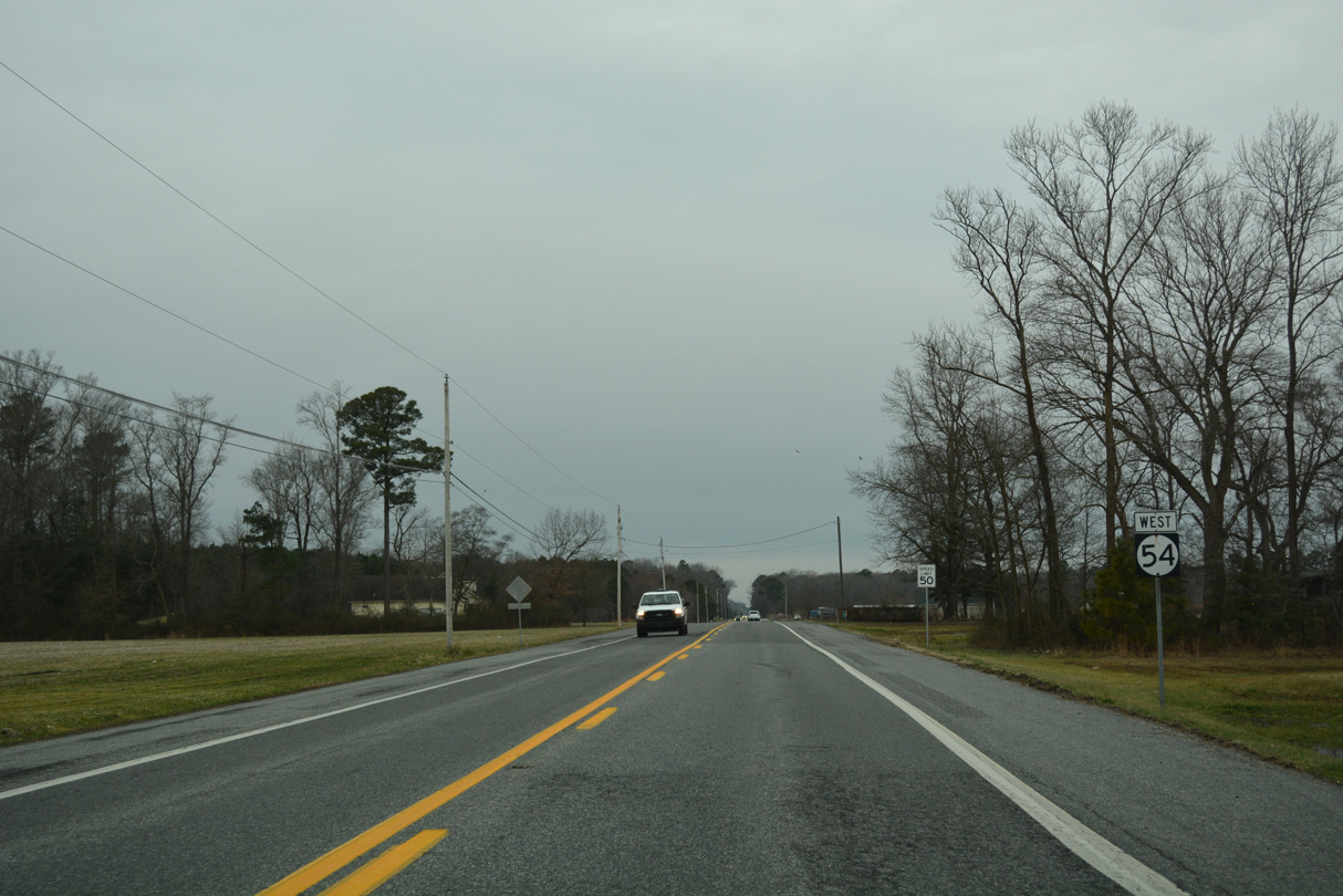
DelDOT takes over maintenance for a 4.17 mile stretch of Line Road between Brittingham Road and U.S. 13 (Sussex Highway).
01/16/17
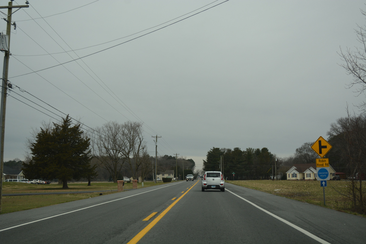
Robin Hood Road leads north from SR 54 (Line Road) around the outskirts of Delmar to Oak Branch Road.
01/16/17

Retail, gas and fast food franchises occupy all four corners of the SR 54 (Line Road) intersection with U.S. 13 in the town of Delmar.
01/16/17
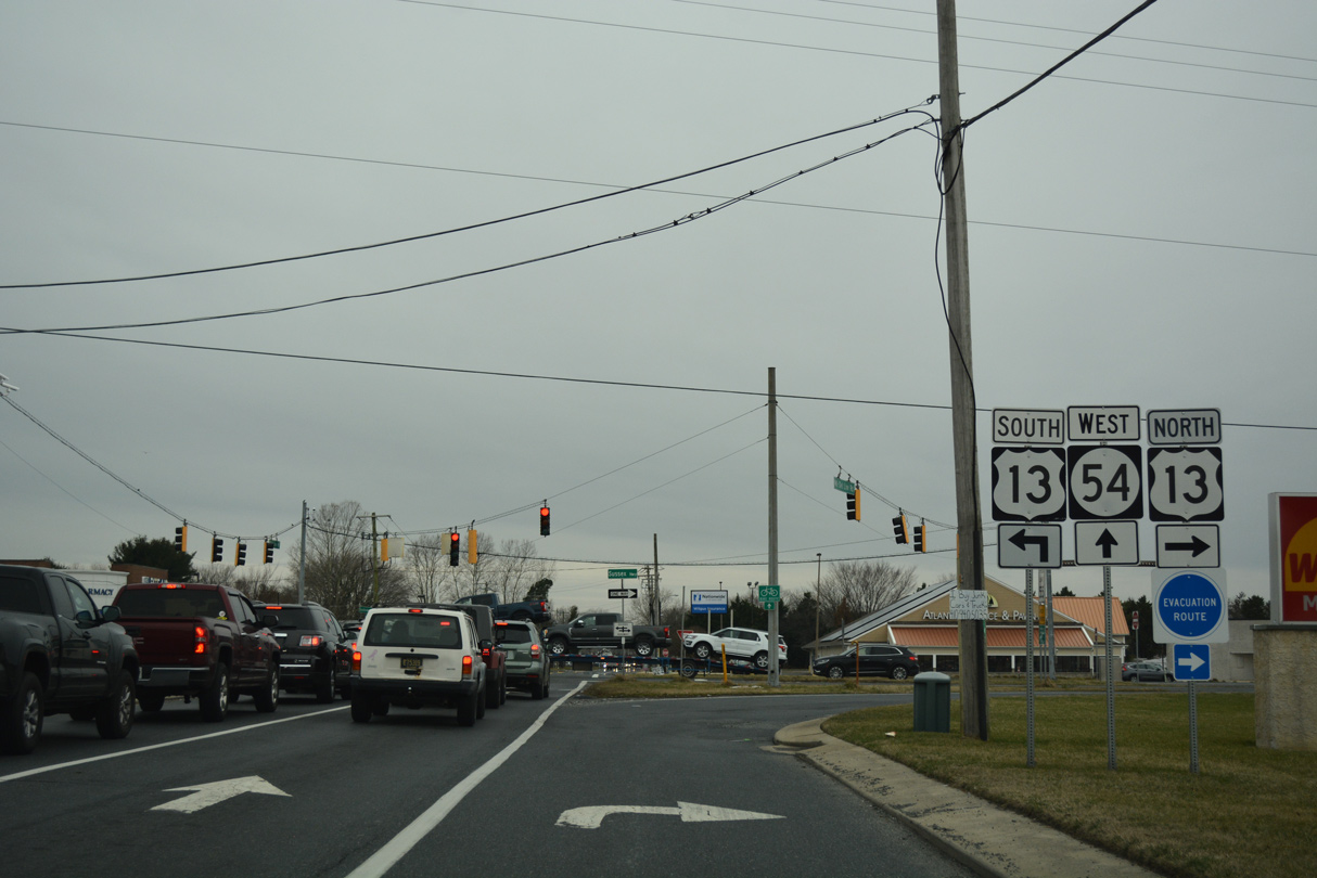
U.S. 13 (Ocean Highway) travels south along a busy commercial arterial to the city of Salisbury. Sussex Highway north varies with commercial and rural stretches from Delmar to Laurel and Seaford. Beyond U.S. 13, SR 54 becomes MD 54, as MDSHA maintains the state route along State Street through Delmar.
01/16/17
West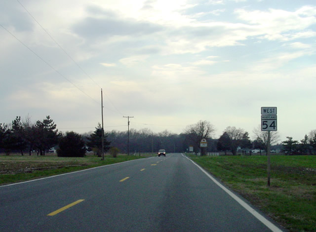
SR 54 (Delmar Road) becomes MD 54 by the southwestern corner of Delaware. MD 54 continues Delmar Road another 3.25 miles to MD 313 (Sharptown Road) in Mardela Springs.
03/23/03
Photo Credits:
- Alex Nitzman: 01/16/17
- Adam Froehlig: 02/18/02, 03/23/03
Connect with:
Page Updated Monday January 30, 2017.