
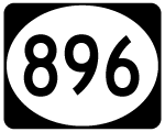
State Route 896 South - Glasgow to Boyds Corner
U.S. 301 formerly began along SR 896 south from U.S. 40 on the Glasgow bypass. This changed in 2019 with U.S. 301 shifting to a toll road from Middletown northeast to SR 1 near South St. Georges.
12/29/24
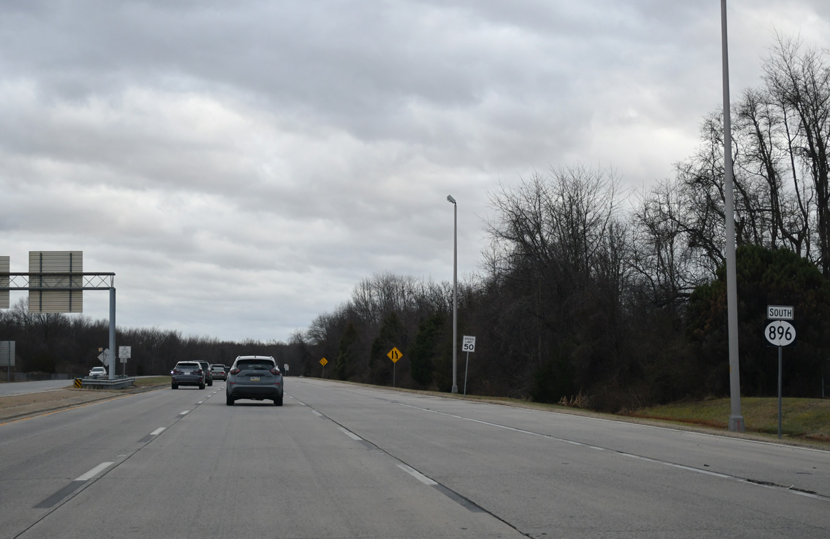
The four lane expressway includes an area of wide pavement ahead of SR 896 Business. Looking at the stretch on aerial photographs, it appears that two sections of pavement were misaligned during construction, resulting in a 12 foot difference in alignment (one slab width) (A. Kotchi, personal communication, January 9, 2008).
12/29/24
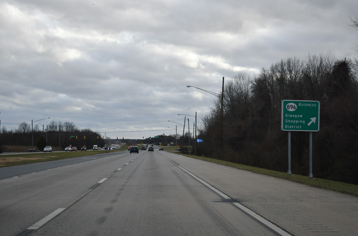
Glasgow Avenue (SR 896 Business) heads south from U.S. 40 and Peoples Plaza shopping center to Hodgson High School, the Marabou Meadows subdivision and SR 896 at Porter Road.
12/29/24
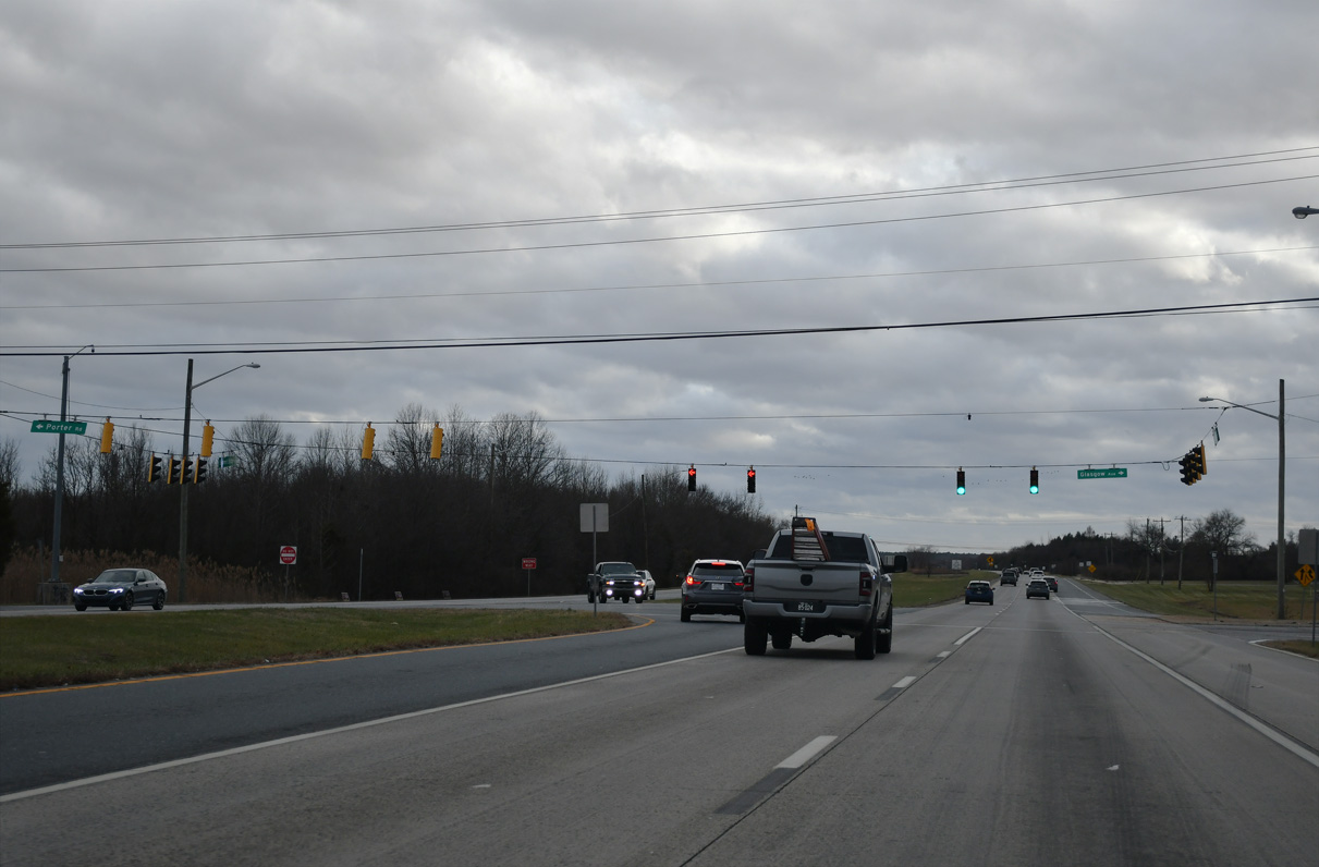
Porter Road extends east from SR 896 and SR 896 Business to suburban areas east to SR 72 (Wrangle Hill Road) and north back to U.S. 40 in Bear. A parclo interchange was once proposed for this location.
12/29/24
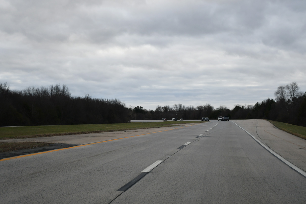
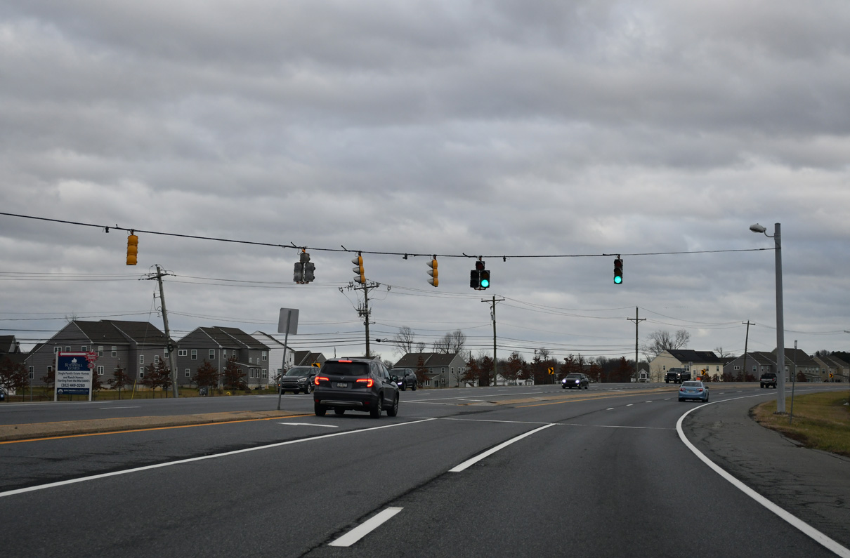
SR 896 expands south from Porter Road to include a wide grassy median to the Summit Bridge. Expansion here took place between 1990 and 1992.
The confirming marker for SR 896 south was removed after 2012 during a project to add an extended acceleration lane from Glasgow Avenue south.
04/04/04
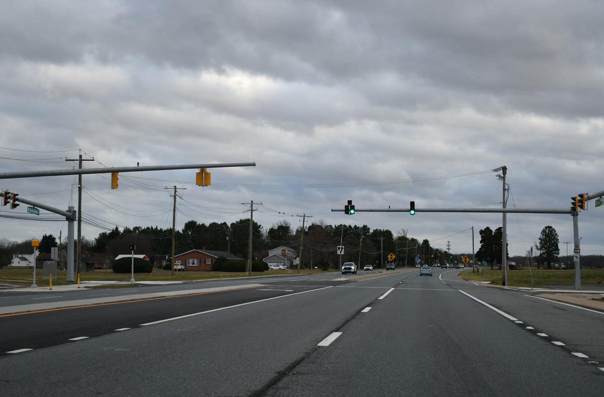
SR 896 (Summit Bridge Road) south at Madelyn Drive and the Colony at Summit Bridge West development. Until the late 1990s all traffic signals south of Porter Road operated in flash mode, but increases in traffic both along SR 896 and at Middletown changed that.
12/26/16
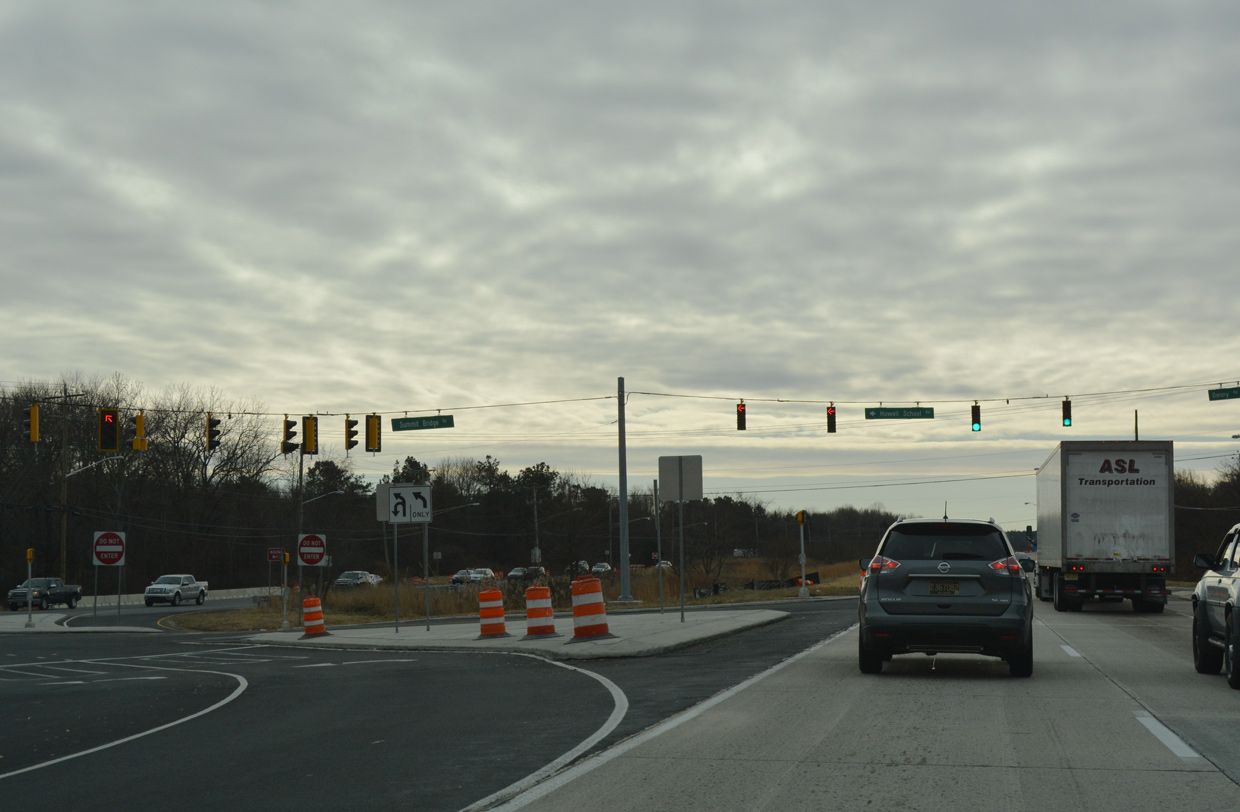
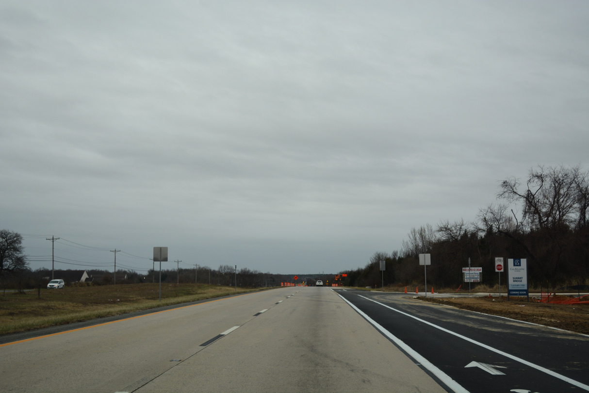
2016-17 construction realigned Howell School Road west to intersect SR 896 directly across from Denny Road east. The two previously converged with Summit Bridge Road at back to back intersections.
12/29/24
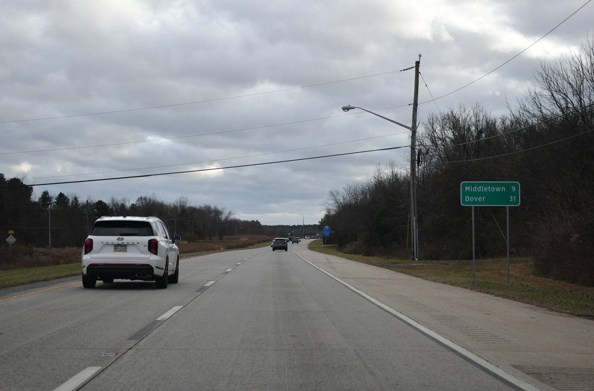
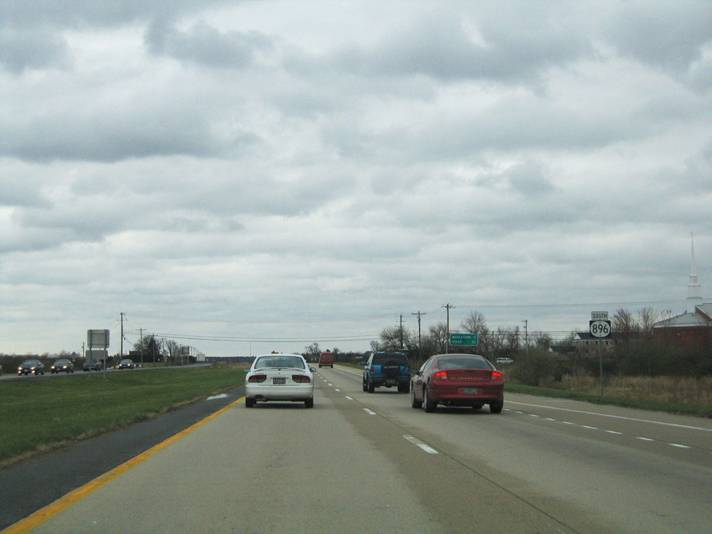
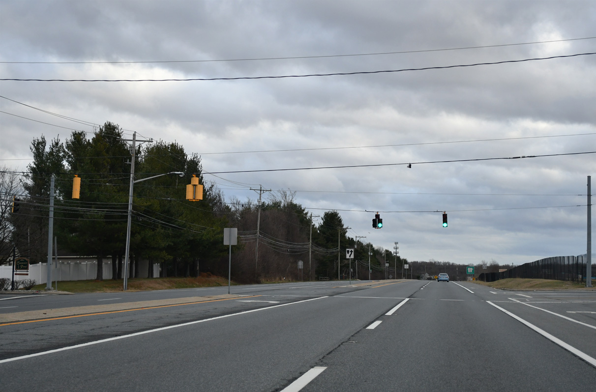
SR 896 runs along the west side of Lums Pond State Park as Summit Bridge Road progresses south nine miles to Middletown. A reassurance marker posted south of Denny Road was removed by 2022.
12/29/24
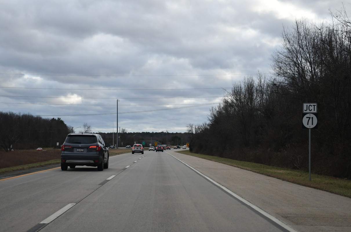
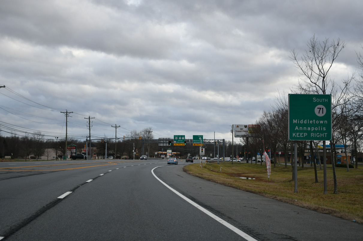
Forthcoming SR 71 (Red Lion Road) circles eastward from SR 896 (Summit Bridge Road) around Lums Pond to the community of Kirkwood. The state route once carried U.S. 301 South between U.S. 13 at Tybouts Corner and the Summit Bridge.
12/29/24
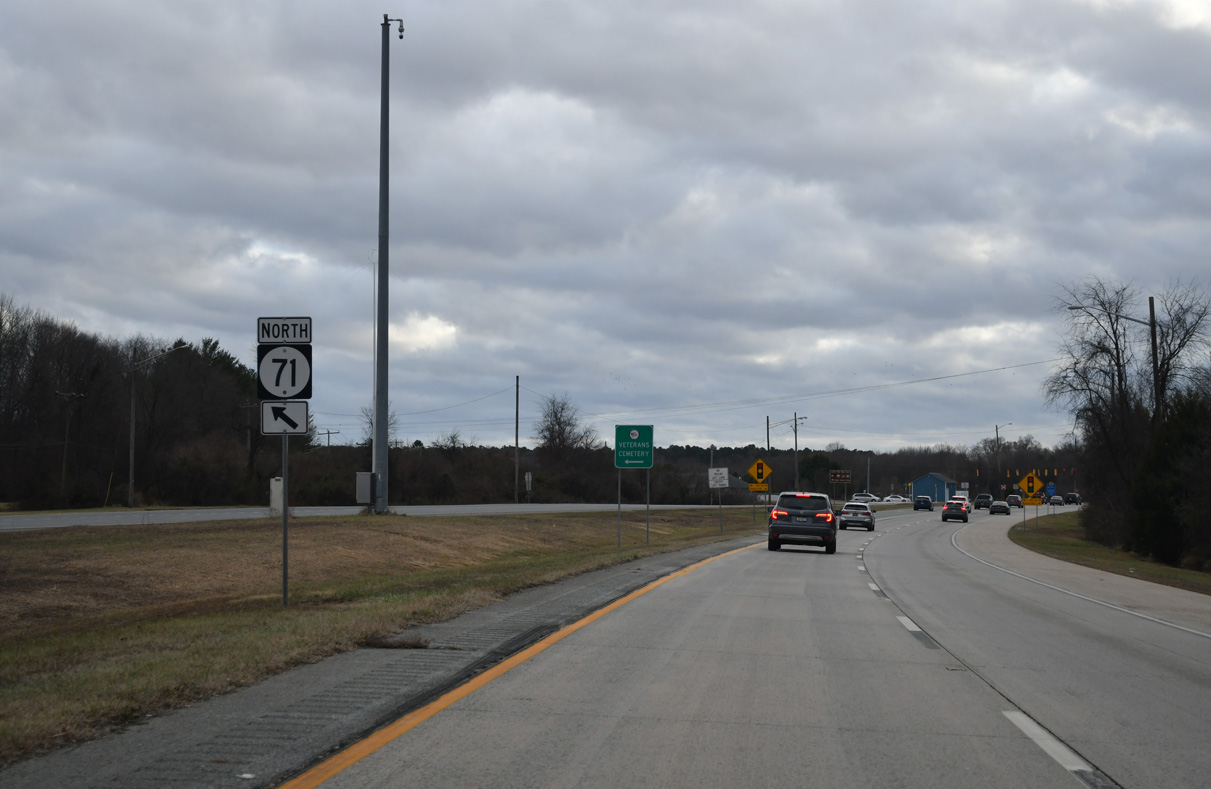
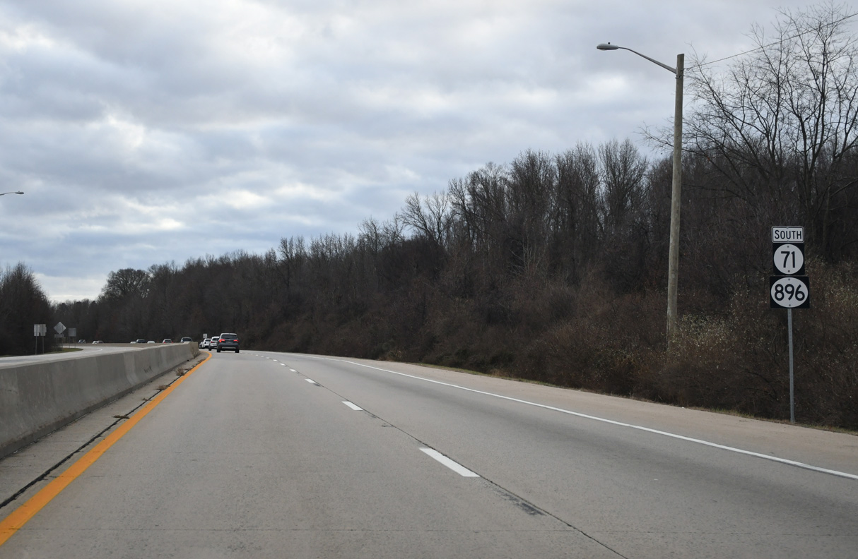
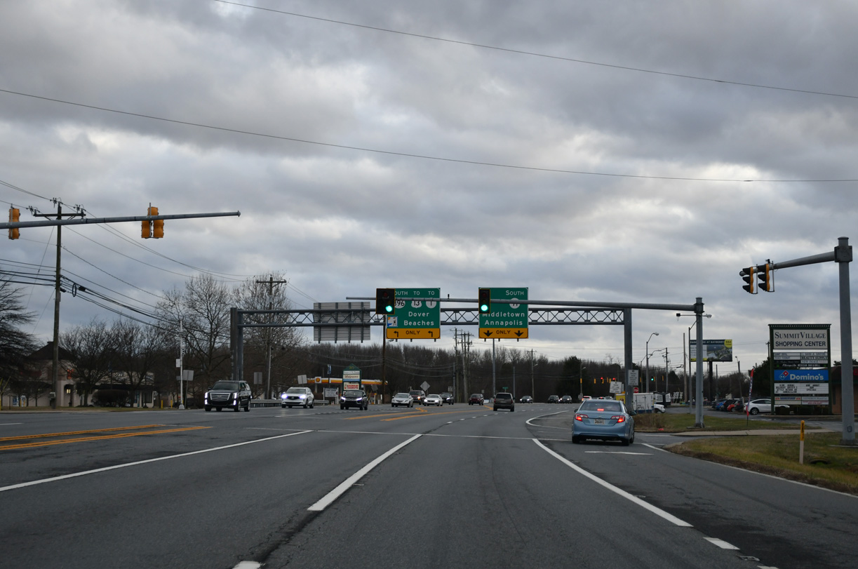
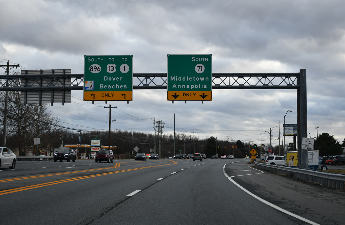
SR 71 combines with SR 896 south for 4.10 miles to Mount Pleasant. The state route north connects Summit Bridge Road with Chesapeake City Road west to the Delaware Veterans Memorial Cemetery.
12/29/24
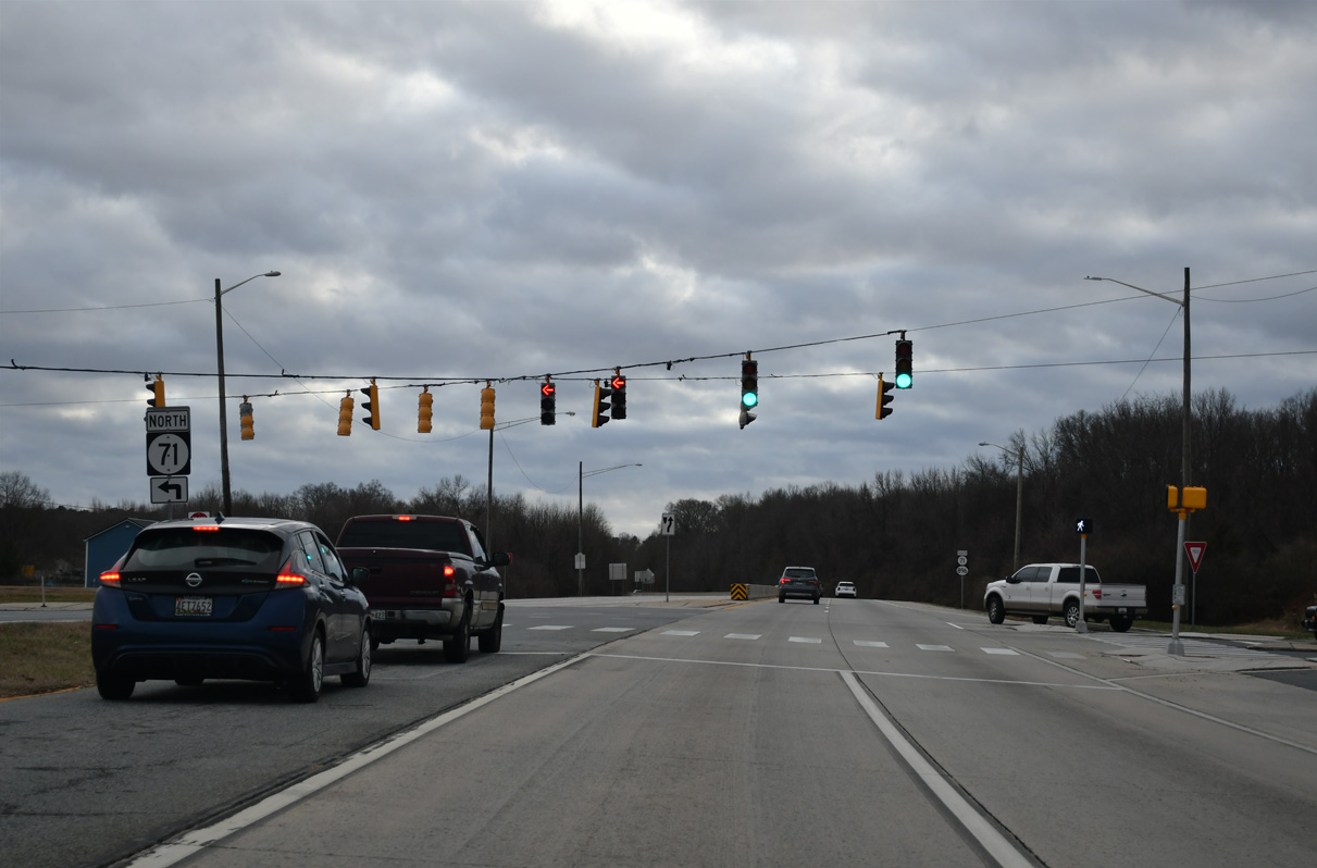
Brennan Boulevard winds east through the Brennan Estates community to intersect SR 71/896 at Red Lion Road. SR 71 north follows Red Lion Road 7.85 miles to conclude at U.S. 13 (Dupont Highway) near Bear.
12/29/24

A concrete barrier separates traffic along SR 71/896 south from Brennan Boulevard south to the Summit Bridge.
12/29/24
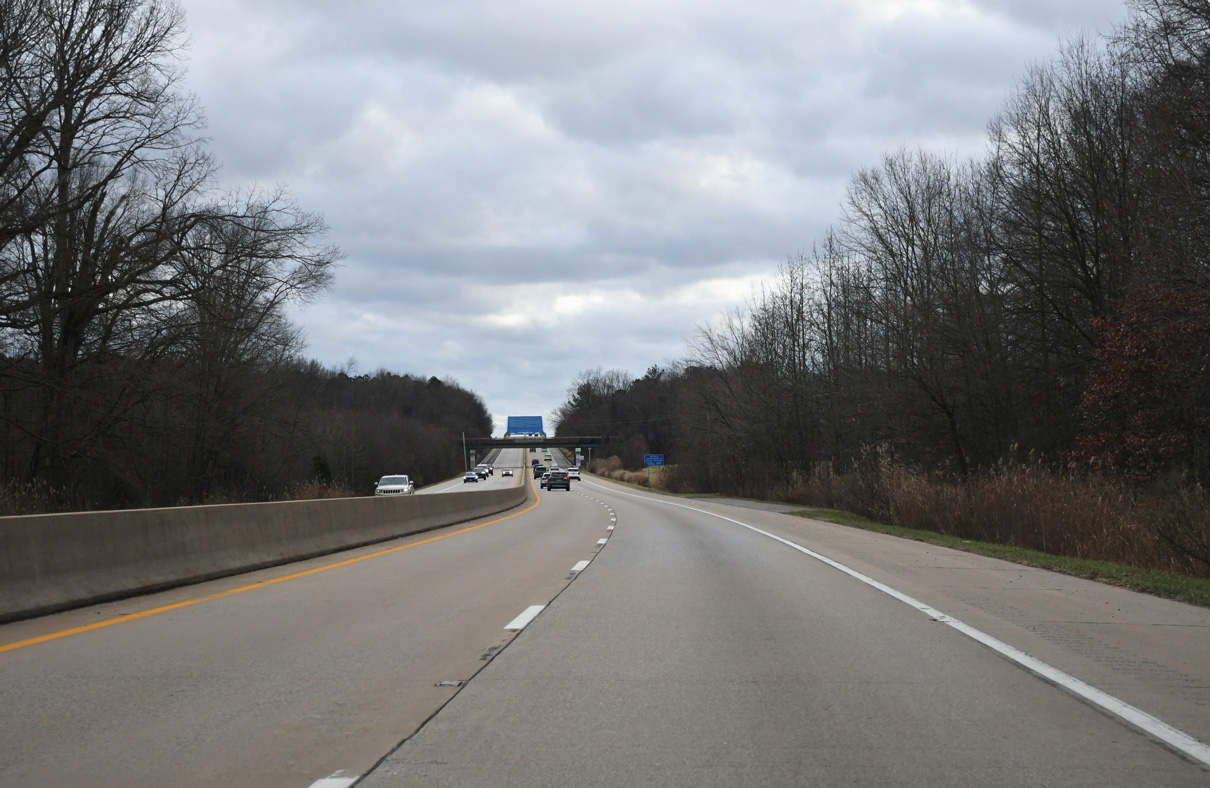
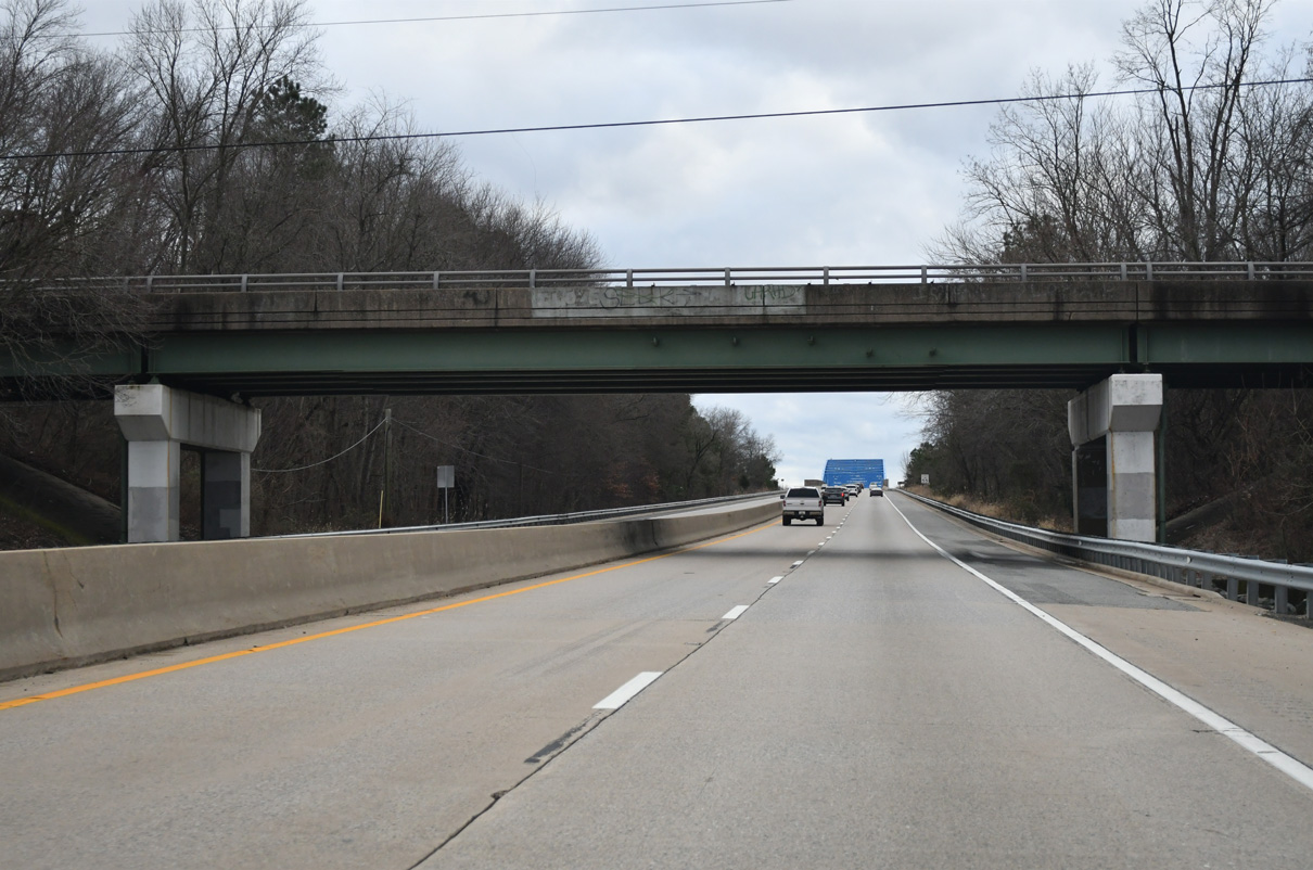
The ensuing 1.9 miles of SR 71/896 south across the Summit Bridge constitute a limited access expressway.
12/29/24
Chesapeake City Road spans SR 71/896 west from SR 71 en route to Chesapeake City, Maryland.
12/29/24
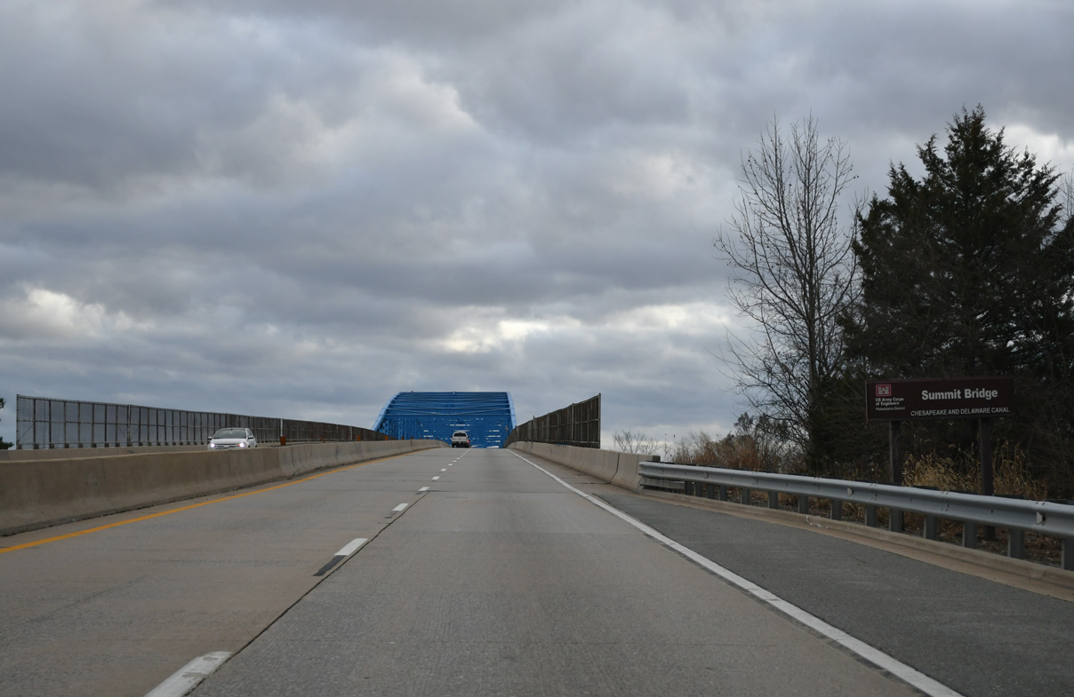
Maintained by the U.S. Army Corps of Engineers, the Summit Bridge opened to traffic on January 9, 1960. The prior crossing of SR 71/896 was to the east.
12/29/24
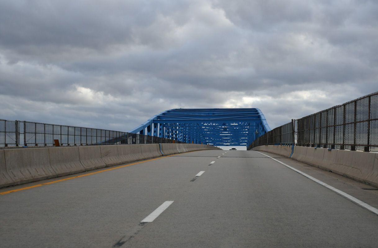
A continuous steel thru truss bridge, the Summit Bridge replaced a lift bridge at the nearby community of Summit Bridge.
12/29/24
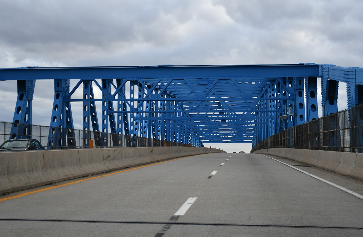
The Summit Bridge provides 138 feet of vertical clearance over the shipping channel on the Chesapeake & Delaware Canal (Weeks, n.d.).
12/29/24
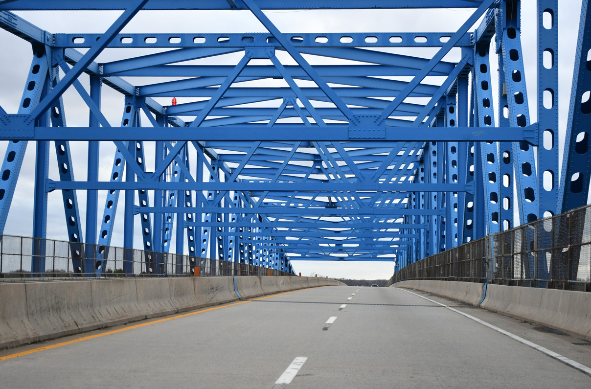
The Summit Bridge is 2,058 feet in length (Weeks, n.d.).
12/29/24
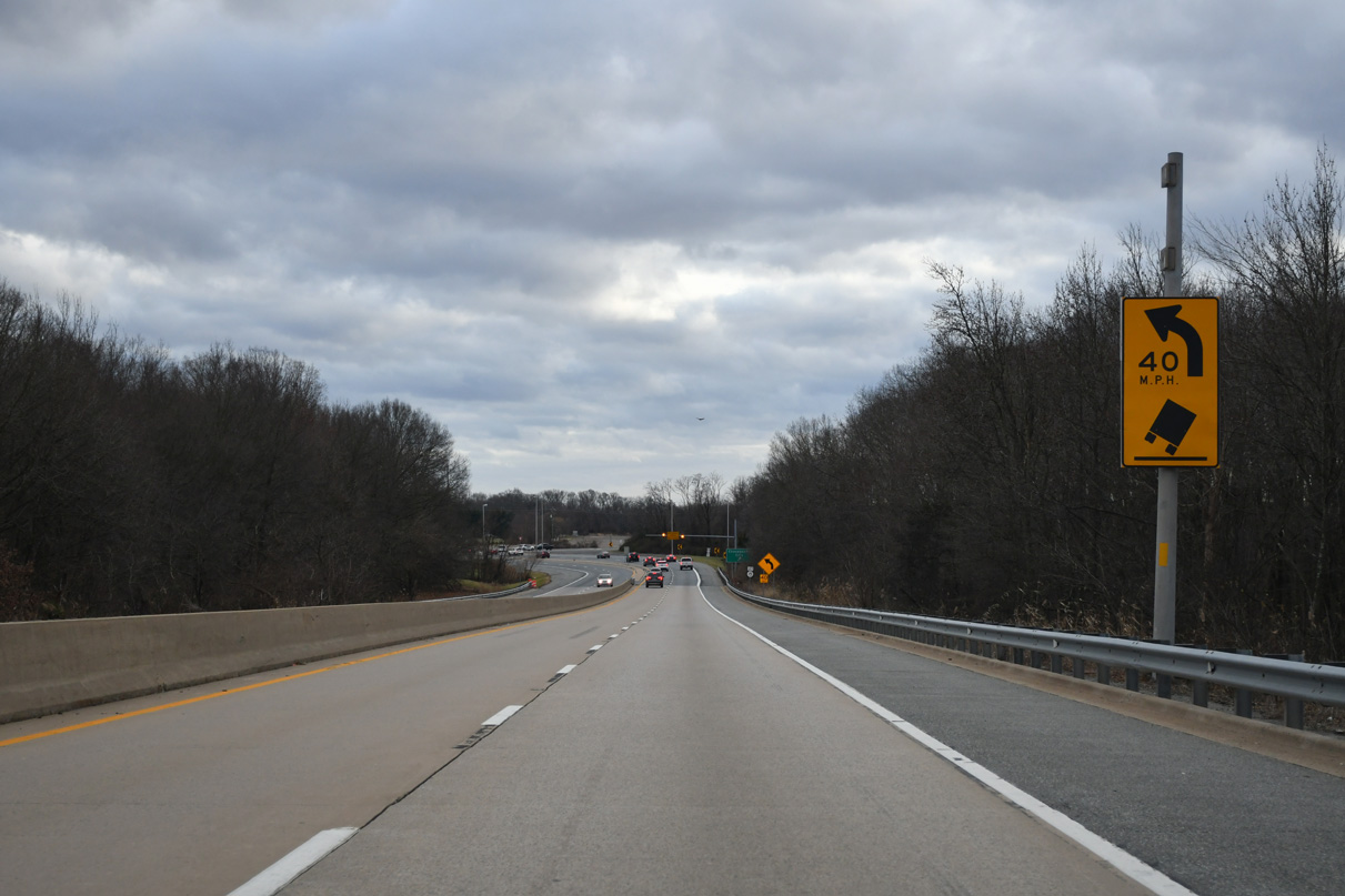
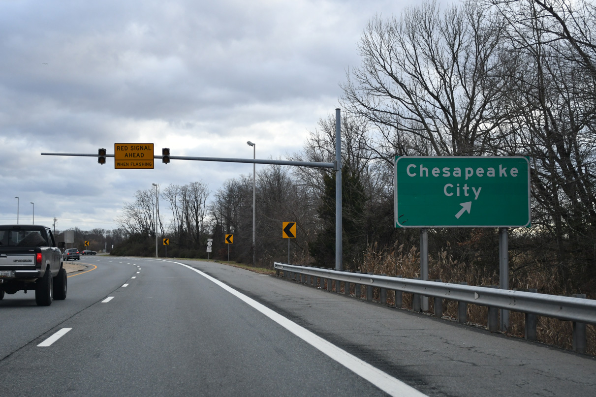
SR 71/896 lower from the Summit Bridge into a broad curve ahead of SR 15.
12/29/24
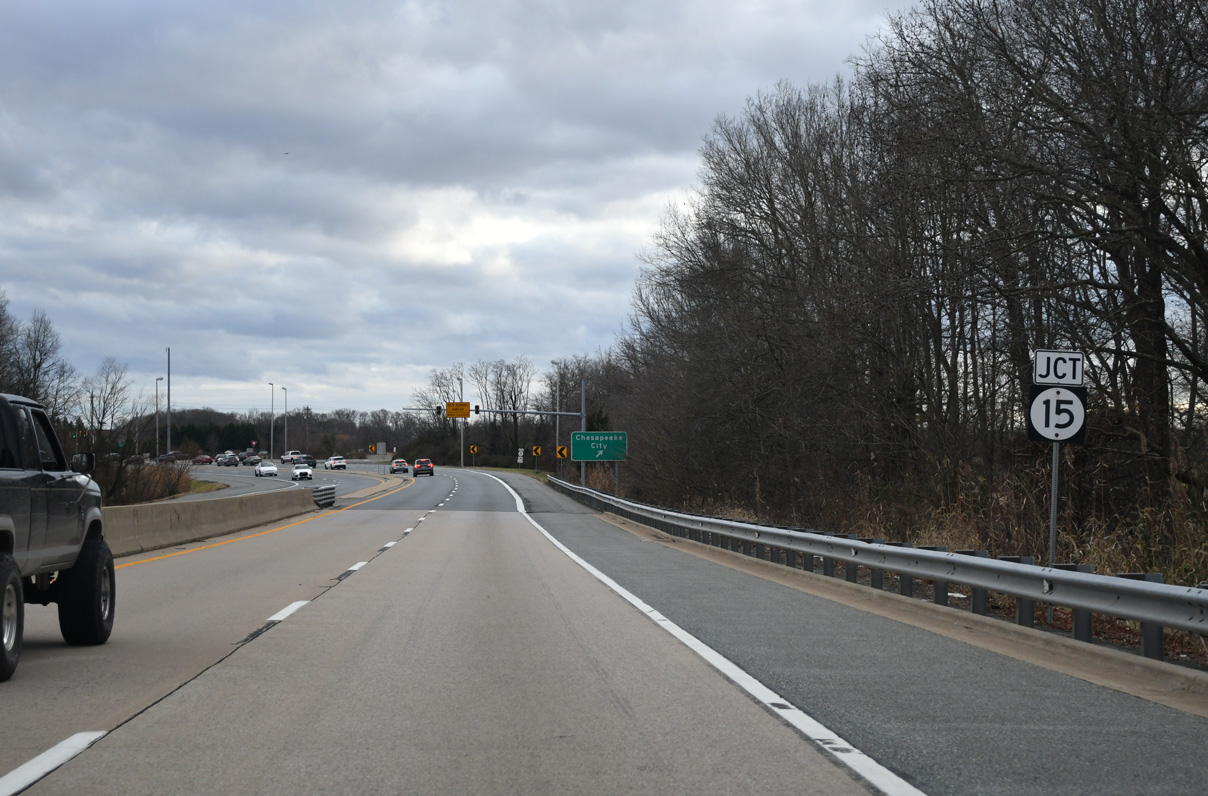
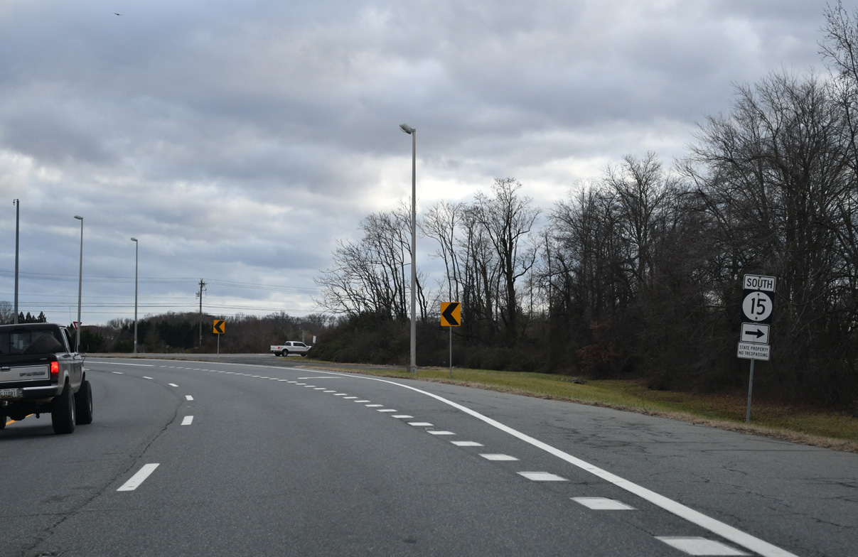
SR 15 arcs 0.88 miles southwest from SR 71/896 along Bethel Church Road to a roundabout with SR 286 west and Choptank Road.
12/29/24
Bethel Church Road extends west from SR 15 as SR 286, 1.70 miles to the Maryland state line. MD 286 continues from the border to Chesapeake City.
12/29/24
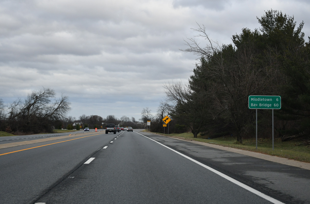
SR 15 parallels SR 71 to the west through suburban areas south into Middletown. An interchange is planned to link the north end of SR 15 with SR 71/896.
12/29/24
Turning east, SR 71/896 pass the Summit Bridge Farms subdivision. Downtown Middletown is 6.3 miles to the south along SR 71 (Broad Street).
12/29/24
Old Summit Bridge (Rd 63), the alignment of SR 71 before 1960, ties into SR 71/896 at the succeeding traffic light east of SR 15. Old Summit Bridge road spurs 0.80 miles to the north.
12/29/24
Coinciding with construction of Crystal Run Elementary School along SR 71/896, traffic lights were added at Summit Airport (EVY) in 2023.
12/29/24
The south entrance to Summit Airport (EVY) ties into SR 71/896 at the signalized intersection with Victoria Drive east to the Summit Pond neighborhood.
12/29/24
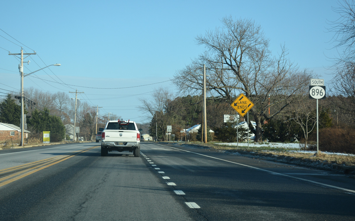
SR 896 separates from SR 71 (Summit Bridge Road) south at the unincorporated community of Mount Pleasant.
12/29/24
U.S. 301 formerly overlapped with SR 71 south from Mount Pleasant into Middletown. Prior to 1993, U.S. 301 also ran concurrent with SR 896 to the east along Boyds Corner Road.
12/29/24
Traffic lights were added at Summit Village Shopping Center in 2008 along SR 71/896 (Summit Bridge Road) just north of their separation.
12/29/24
SR 71 continues another 3.34 miles south onto Broad Street in Middletown. The state route resumes along Summit Bridge Road beyond Middletown en route to Townsend and U.S. 13 near Blackbird.
12/29/24

SR 896 heads east toward the Village of Bayberry development and U.S. 13 at Boyds Corner. Churchtown Road (Rd 432) extends 3.82 miles west from SR 71/896 at Mount Pleasant to become MD 310 (Cayots Corner Road).
12/29/24
Advancing east from SR 71 (Summit Bridge Road) at Mt. Pleasant, SR 896 crosses a Norfolk Southern Railroad line at-grade ahead of this confirming marker.
12/16/17
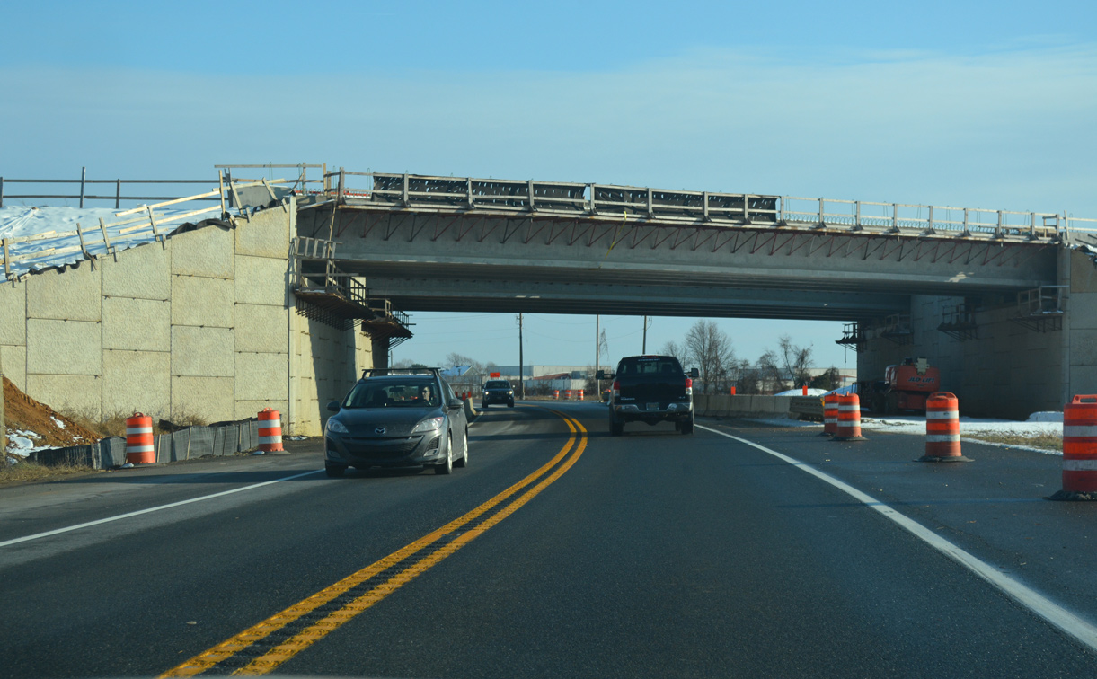
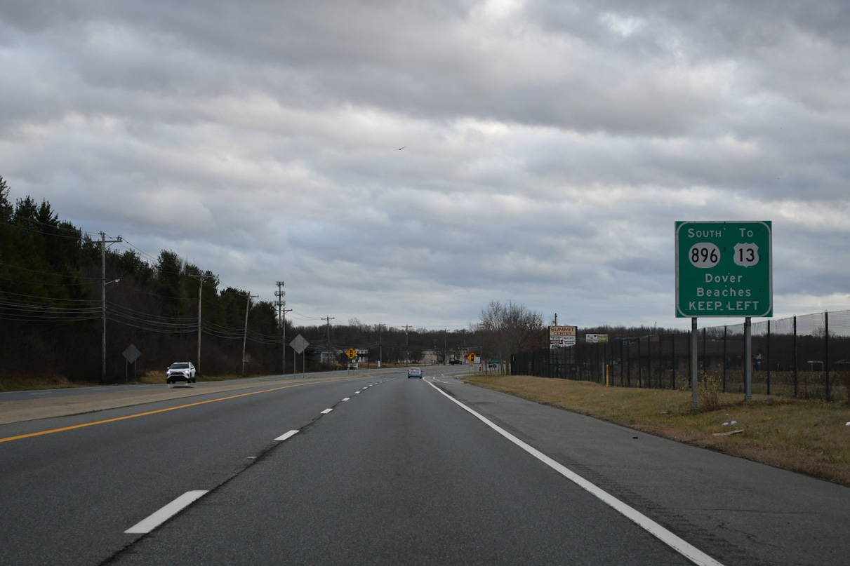
The U.S. 301 toll road spans SR 896 midway between SR 71 and Jamison Corner Road. There is no direct access between the two roads.
12/16/17

Cedar Lane Road ties into SR 896 north by several schools across from Jamison Corner Road. Construction in 2018 consolidated the back to back intersections with a realignment of Jamison Corner Road. Jamison Corner Road leads 1.5 miles north to a dumbbell interchange with U.S. 301.
12/16/17
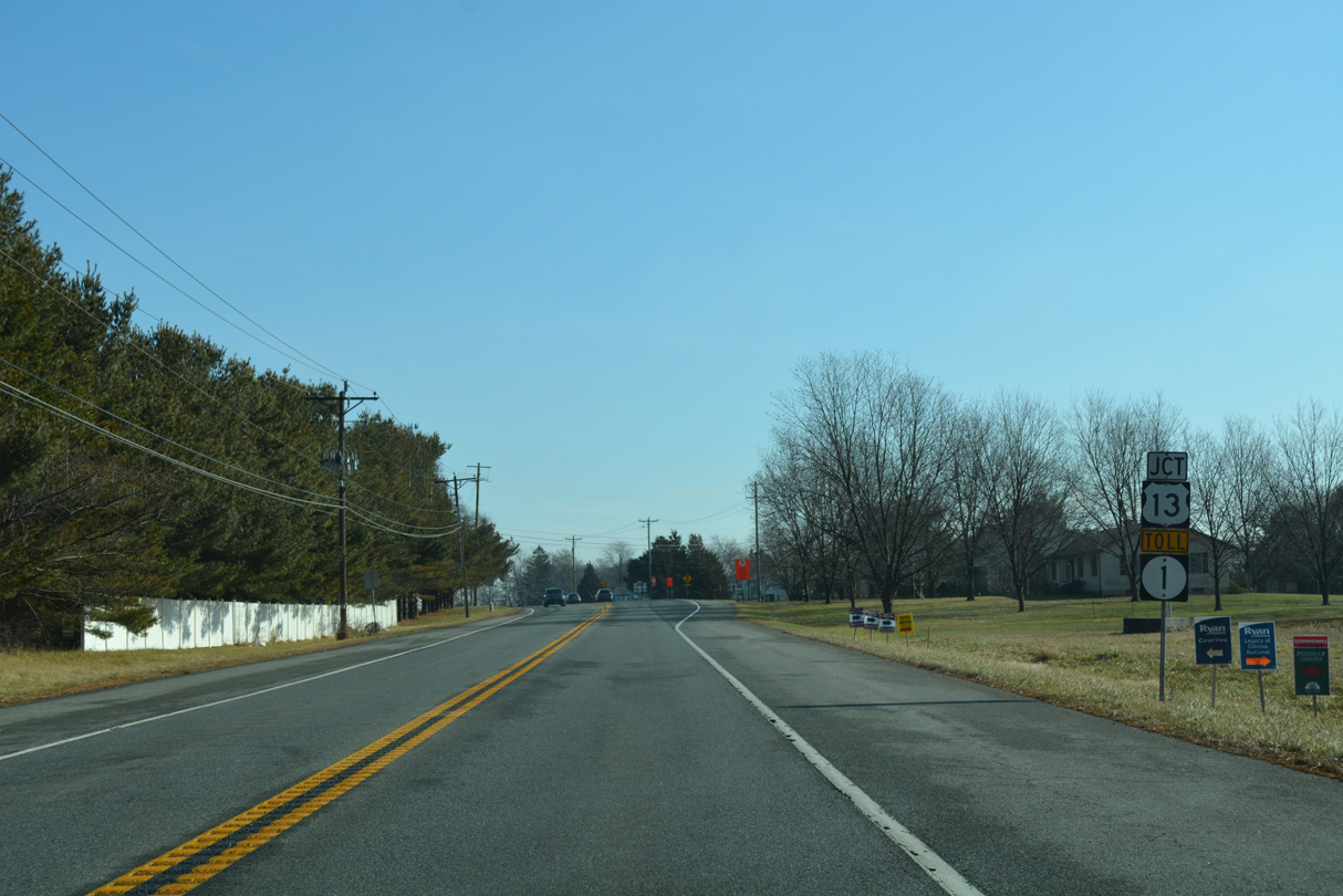
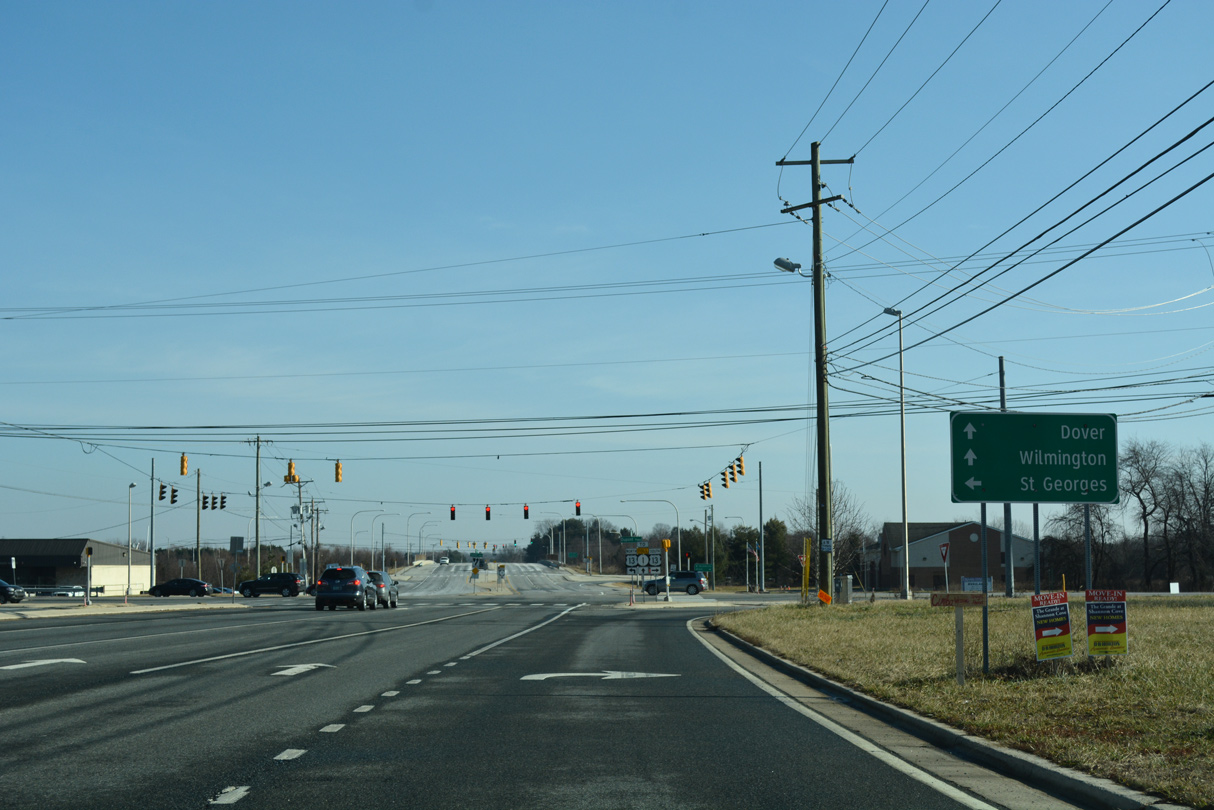
SR 896 (Boyds Corner Road) approaches U.S. 13 (Dupont Parkway) and Pole Bridge Road east to SR 1 by the Grande View Farms subdivision.
01/15/17
Increases in commuter traffic led to expansion of SR 896 to four lanes ahead of U.S. 13 at Boyds Corner.
01/15/17
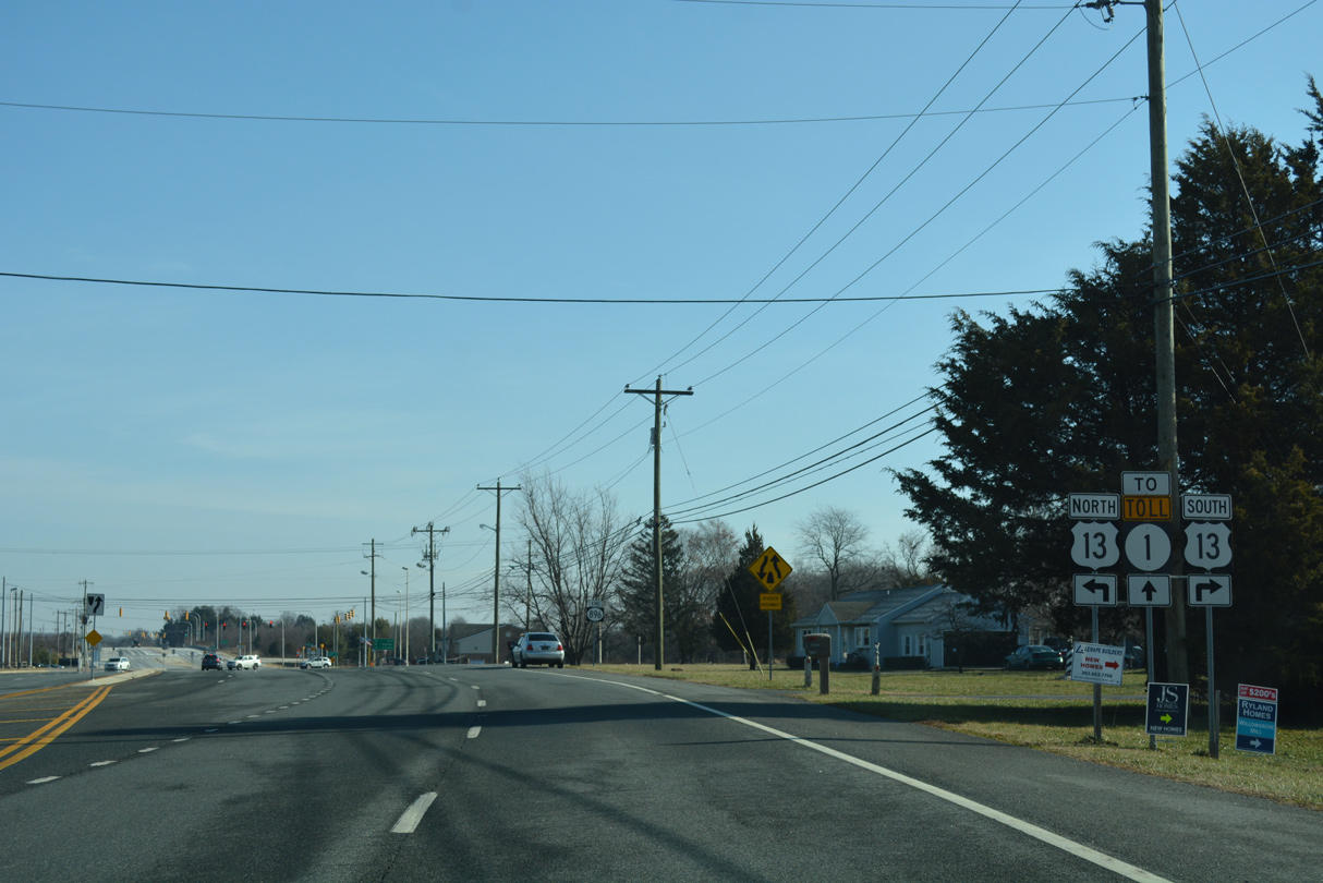
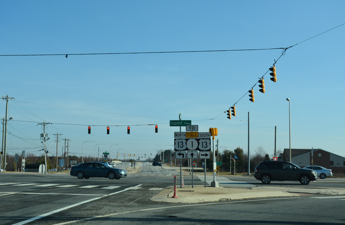
An end shield precedes the SR 896 intersection with U.S. 13 (Dupont Parkway). Suburban development spreads in all directions from the junction.
01/15/17
U.S. 13 and SR 1 intertwine southward to Odessa and Smyrna. Dupont Parkway leads U.S. 13 north to St. Georges while SR 1 shifts to the west to cross the C & D Canal on the William Roth Bridge toward Bear and Christiana.
01/15/17
Pole Bridge Road is unnumbered as it links SR 896 and U.S. 13 (Dupont Parkway) with adjacent SR 1.
01/15/17
Pole Bridge Road (Road 420) extends 0.10 miles east from the end of SR 896 to a diamond interchange (Exit 142) with SR 1 (Korean War Veterans Memorial Highway).
08/17/21
Pole Bridge Road (Road 420) continues 2.33 miles east from the toll road to Port Penn Road (Road 2), which leads toward Port Penn and SR 9 along the Delaware River.
08/17/21
References:
- Weeks, J.A. (n.d.) Summit Bridge. http://www.johnweeks.com/c-and-d-canal/pages/summit.html
Photo Credits:
- Alex Nitzman: 04/04/04, 12/26/16, 01/15/17, 12/16/17, 08/17/21, 12/29/24
Connect with:
Page Updated Tuesday February 18, 2025.