
State Road 13 / County Road 13 South - St. Johns County
 South
South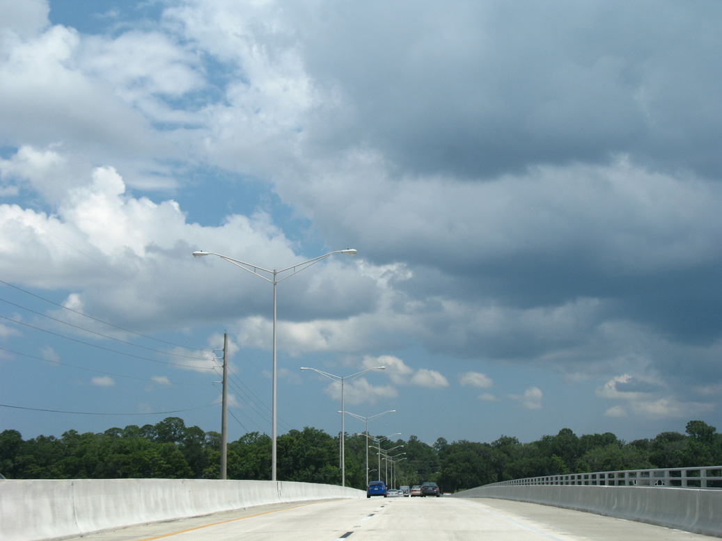
Julington Creek empties into the St. Johns River just west of SR 13.
06/14/08
06/14/08
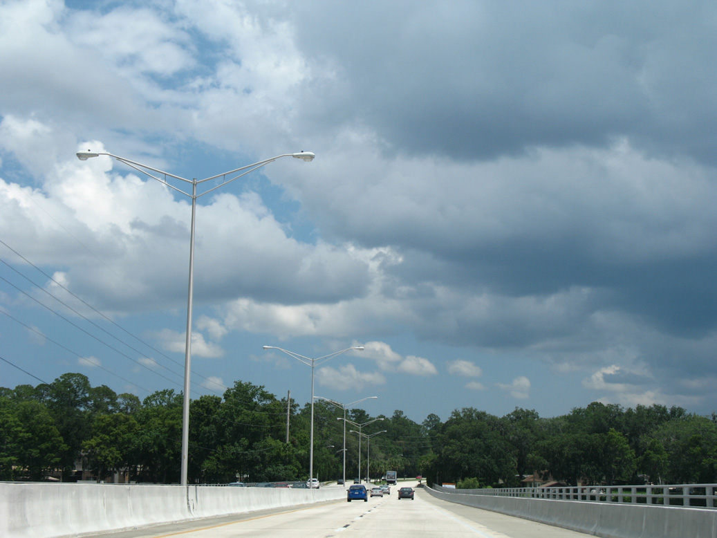
The 2,415 foot long span taking SR 13 south across Julington Creek was built in 1958 and reconstructed in 1995 (Baughn, n.d.).
06/14/08
06/14/08
06/14/08
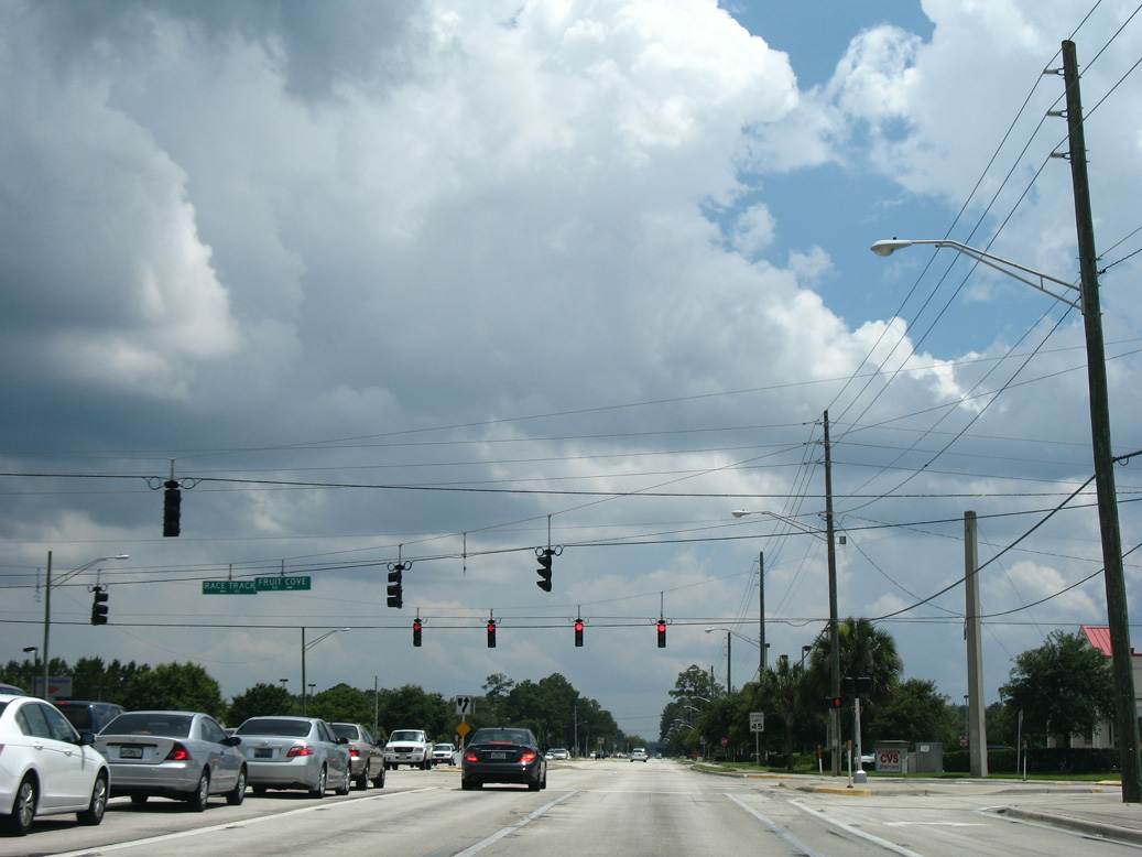
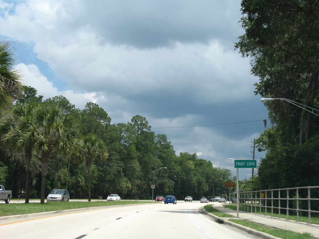
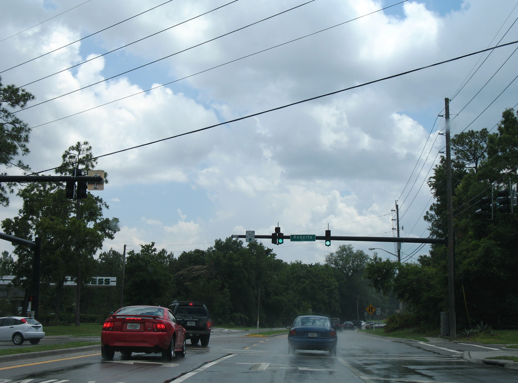
Race Track Road constitutes a suburban arterial east from SR 13 at Fruit Cove to Batram Springs and Nocatee. Fruit Cove Road (CR 13B) loops 2,38 miles west from SR 13.
06/14/08
06/14/08
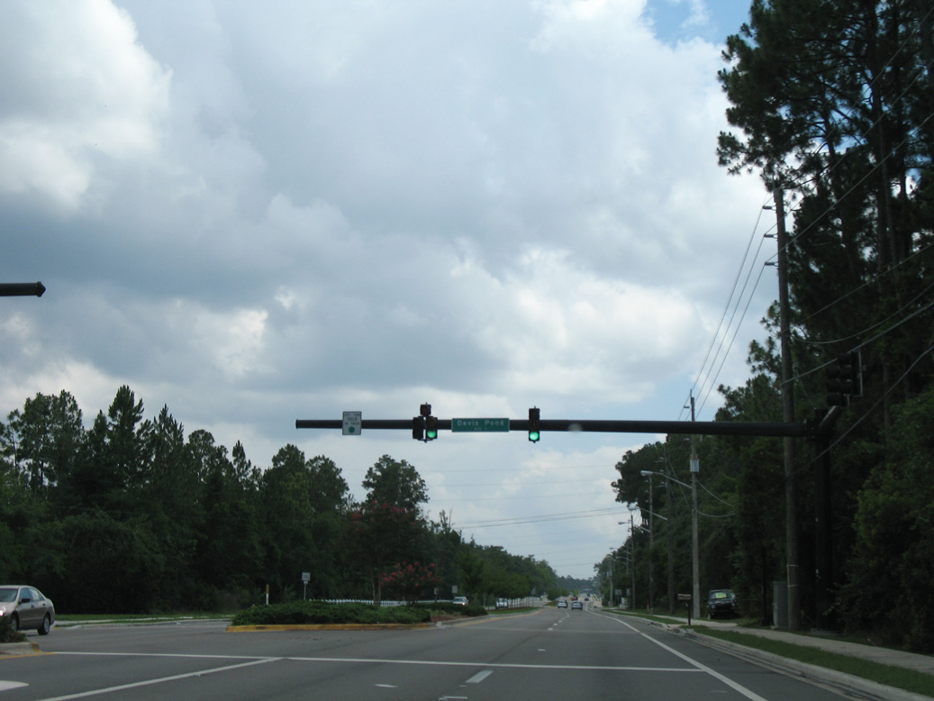
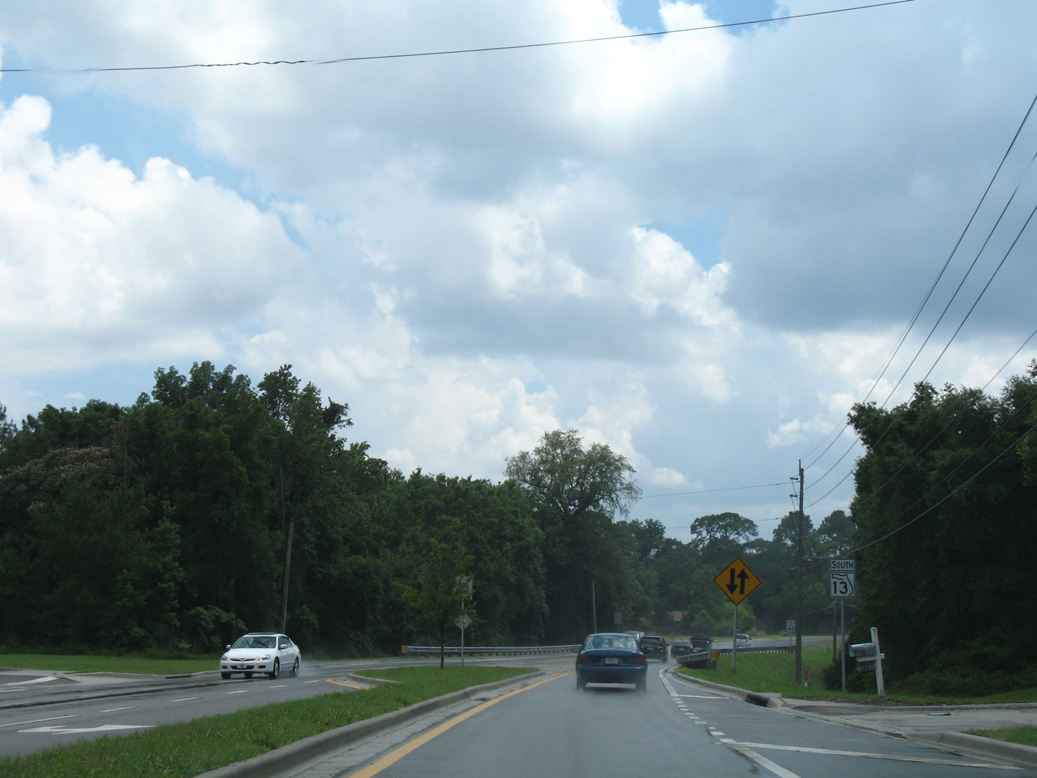
Davis Pond Boulevard winds east to Julington Creek Golf Club.
06/14/08
06/14/08

CR 13B (Fruit Cove Road) returns to SR 13 north of this reassurance marker posted by Cunningham Creek.
06/14/08
06/14/08
06/14/08
06/14/08
06/14/08
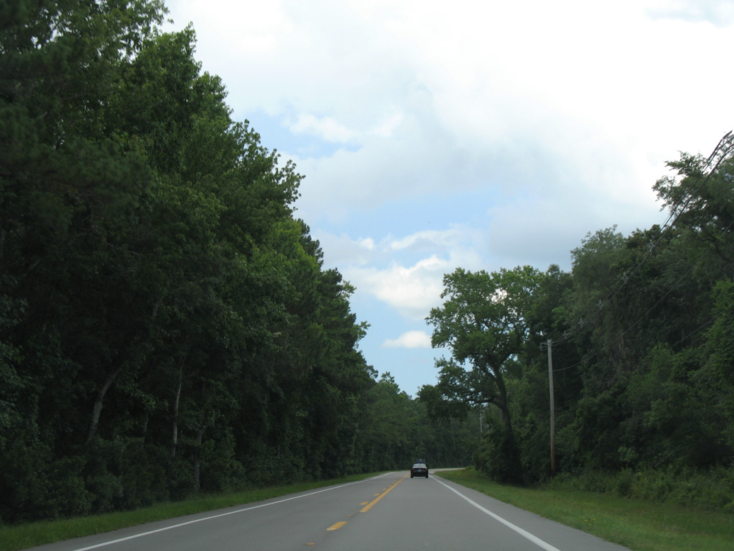
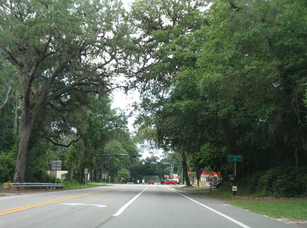
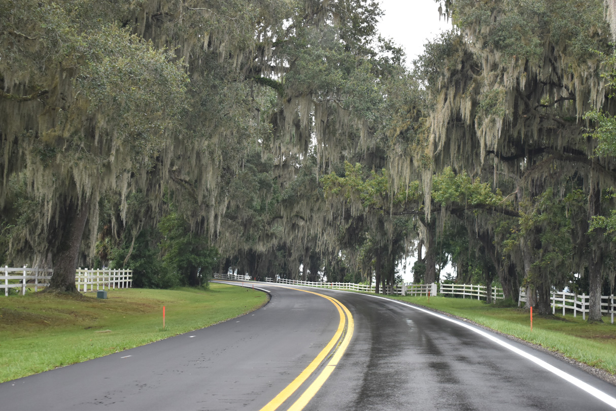
SR 13 curves around Hallowes Cove along the St. Johns River through the Riverside neighborhood of the RiverTown master planned community.
06/14/08
06/14/08
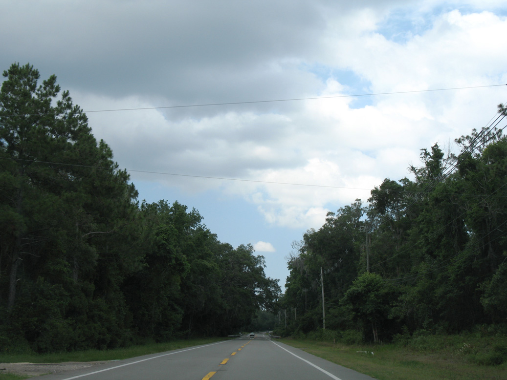
SR 13 continues by the Watersong neighborhood in RiverTown to Kendall Creek and Orangedale.
06/14/08
06/14/08
CR 16A loops 7.35 miles north from SR 13 at Orangedale to SR 16 east of Wards Creek.
06/14/08
06/14/08
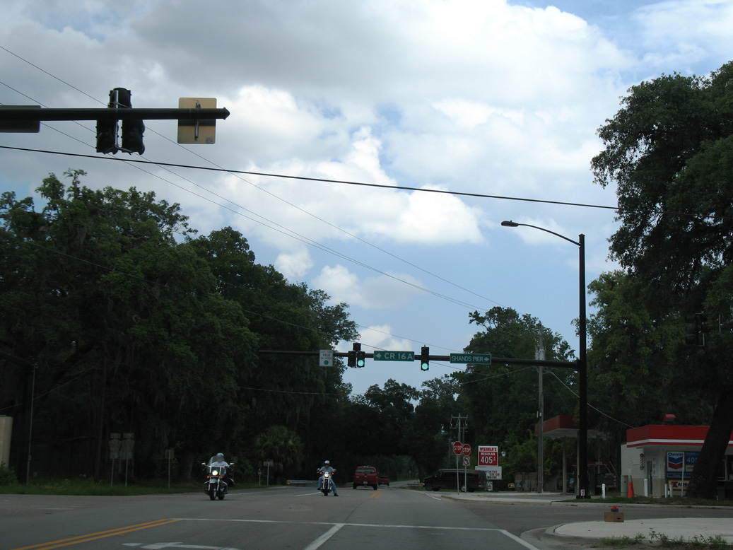
CR 16A links SR 13 with CR 210 east to St. Johns and Nocatee.
06/14/08
06/14/08
SR 13 confirming marker posted south of CR 16A and CR 210 at Orangedale.
09/25/22
09/25/22
A wye intersection provides a free flow movement from SR 13 south to SR 16 west across the Shands Bridge to Green Cove Springs.
09/25/22
09/25/22
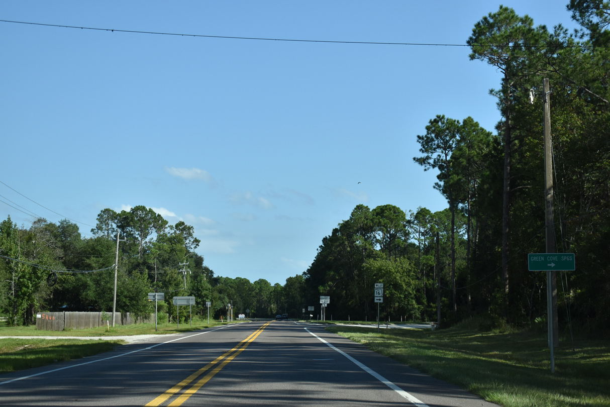
SR 16 crosses the St. Johns River ahead of Reynolds Airpark and combines with U.S. 17 in 5.6 miles along Orange Avenue north into Downtown Green Cove Springs.
09/25/22
09/25/22
The future First Coast Expressway (SR 23) will pass directly over the rural cross roads here, turning northeast from the St. Johns River at the Shands Bridge to a new DDI with the CR 16A Spur. A half diamond interchange with SR 23 will be built here as well.
09/25/22
09/25/22
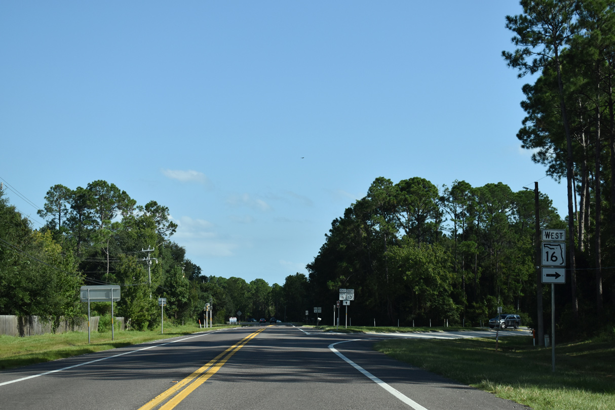
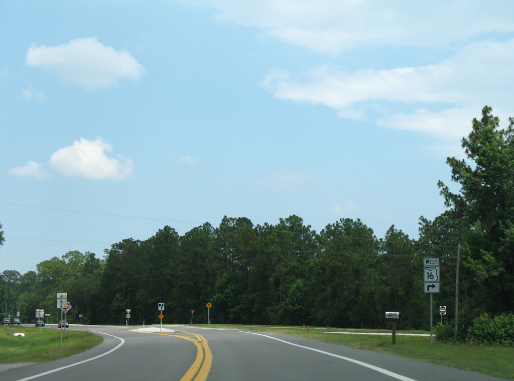
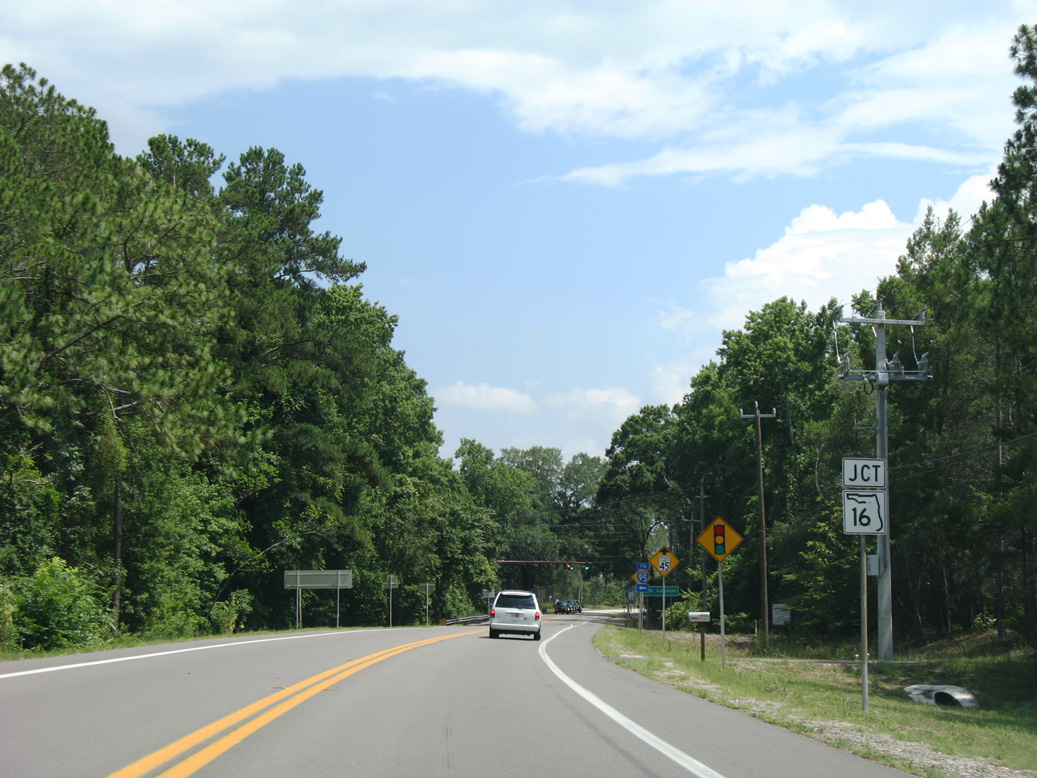
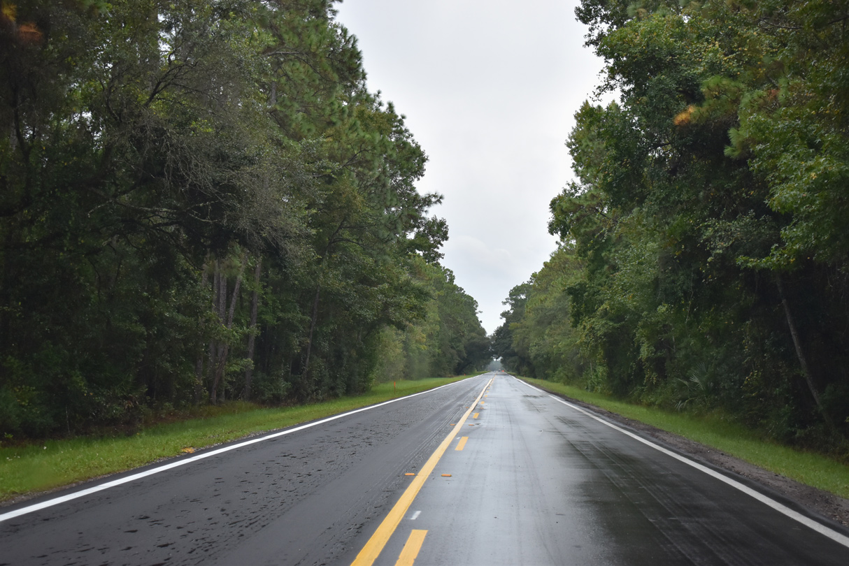
SR 13/16 formally combine from the succeeding wye intersection southeast to Florence.
06/14/08
06/14/08
State Road 16 travels west from the Clay County seat to Penney Farms and Starke.
06/14/08
06/14/08
06/14/08
South  East
East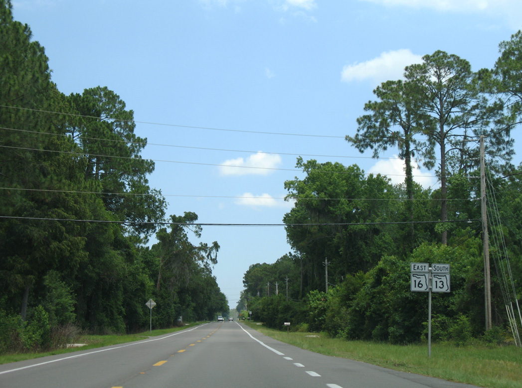
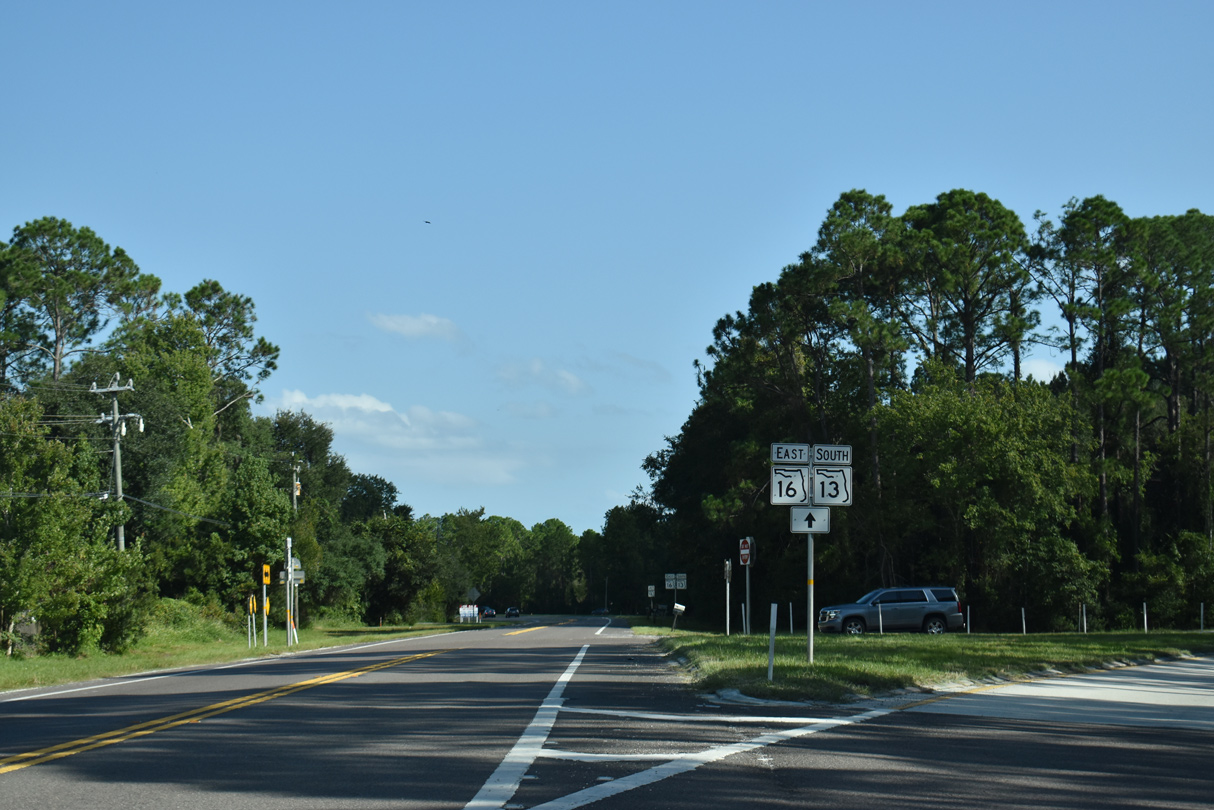
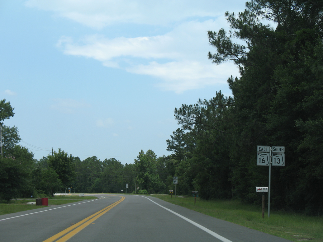
SR 13 south and SR 16 east overlap for 4.00 miles to CR 13 at Wards Creek.
06/14/08
06/14/08
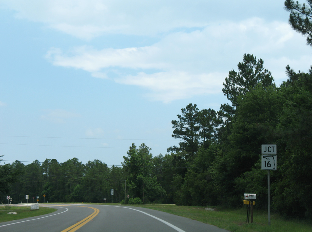
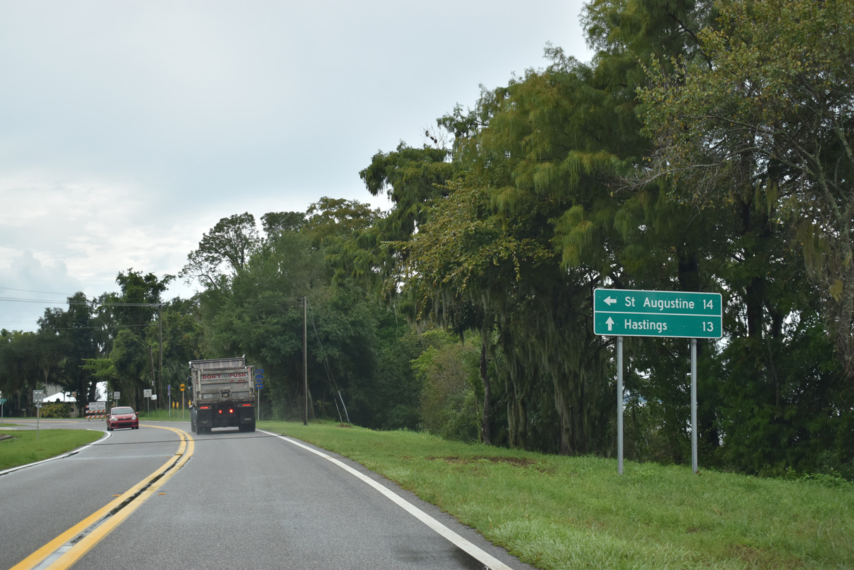
SR 16 turns east from Wards Creek toward St. Augustine. SR 13 transitions into CR 13 south.
06/14/08
06/14/08
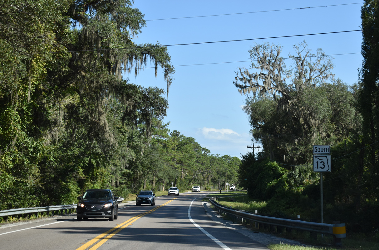
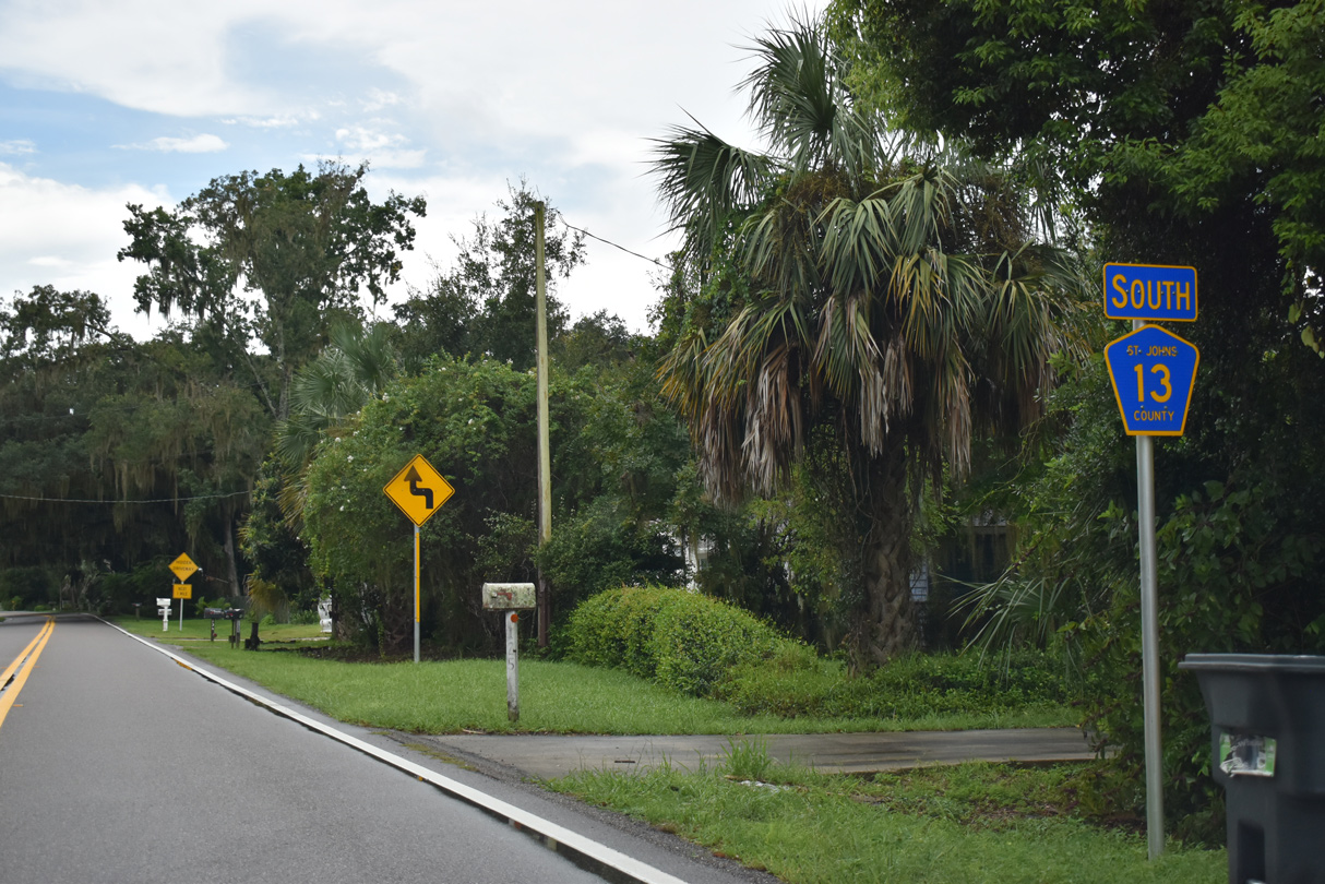
 South
South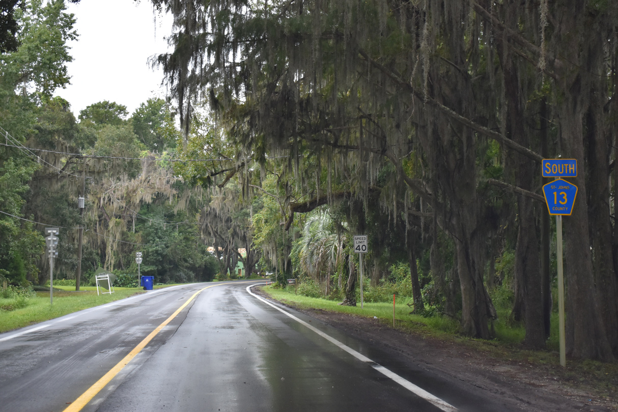
Confirming marker for CR 13 posted south of CR 208 east at Picolata.
09/13/22
09/13/22
09/13/22
CR 13 traverses areas of the St. Johns River Blueway-Meldrim Conservation Easement southeast to Meldrim Park.
09/13/22
09/13/22
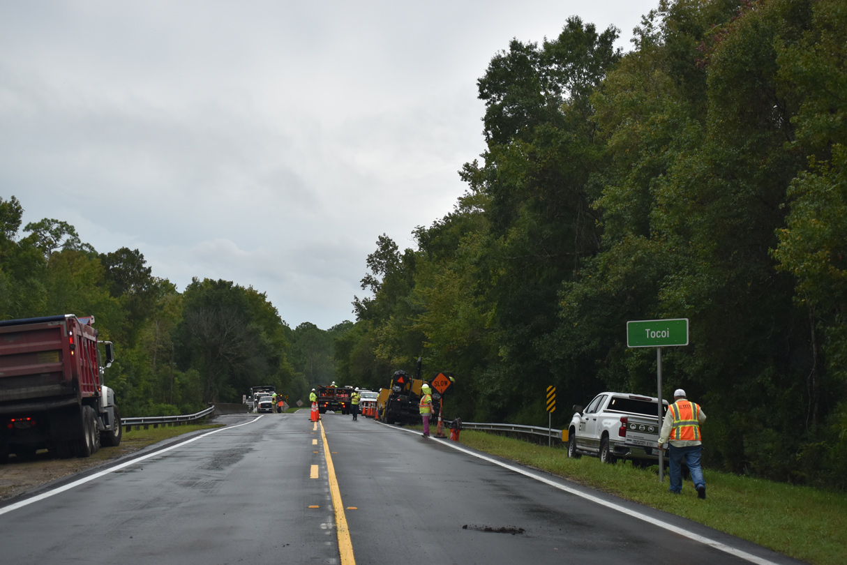
Curving southwest back to the St. Johns River, CR 13 heads south from Lane Landing to the rural settlement of Tocoi.
09/13/22
09/13/22
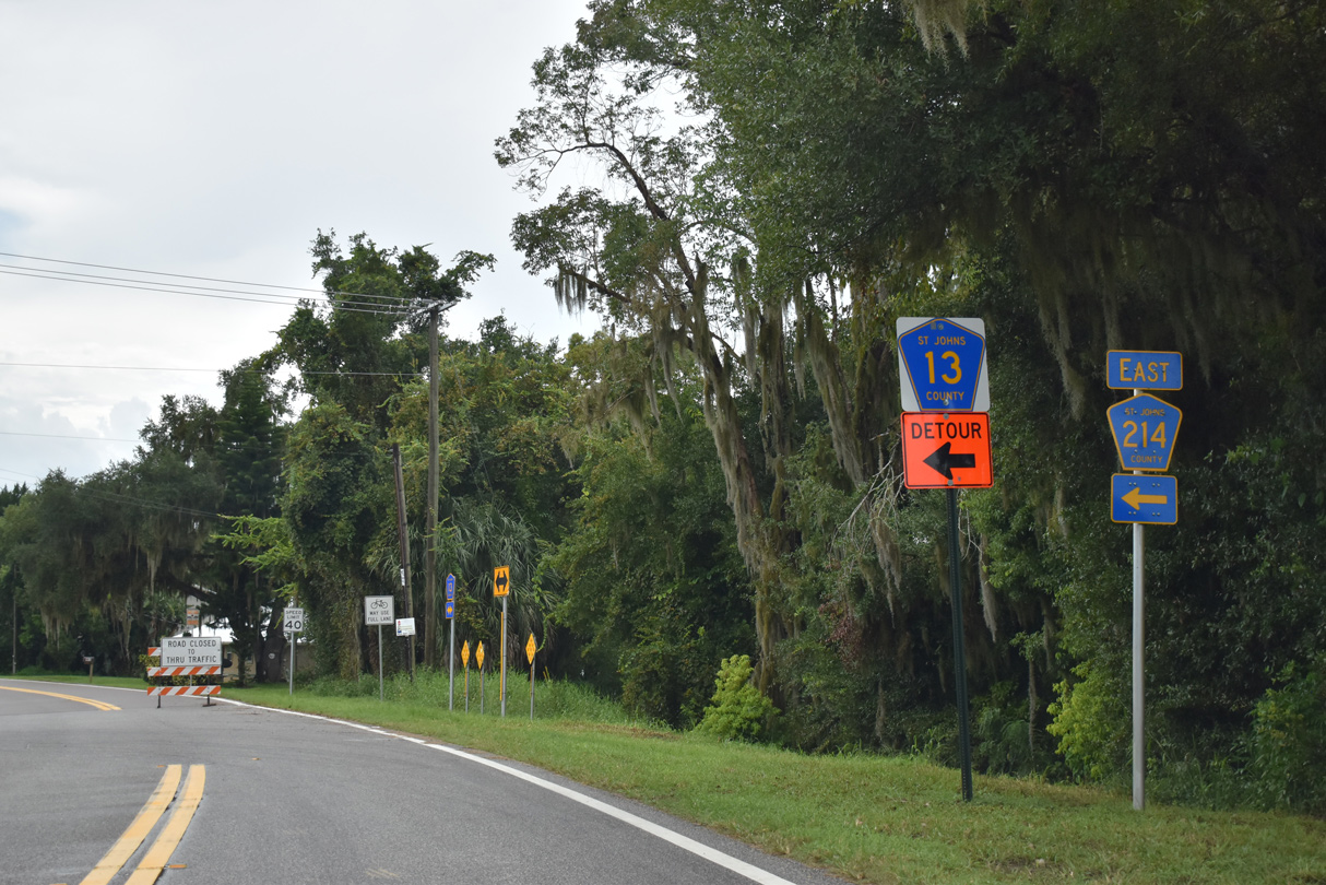
CR 13 meets the west end of CR 214 at Tocoi.
09/13/22
09/13/22
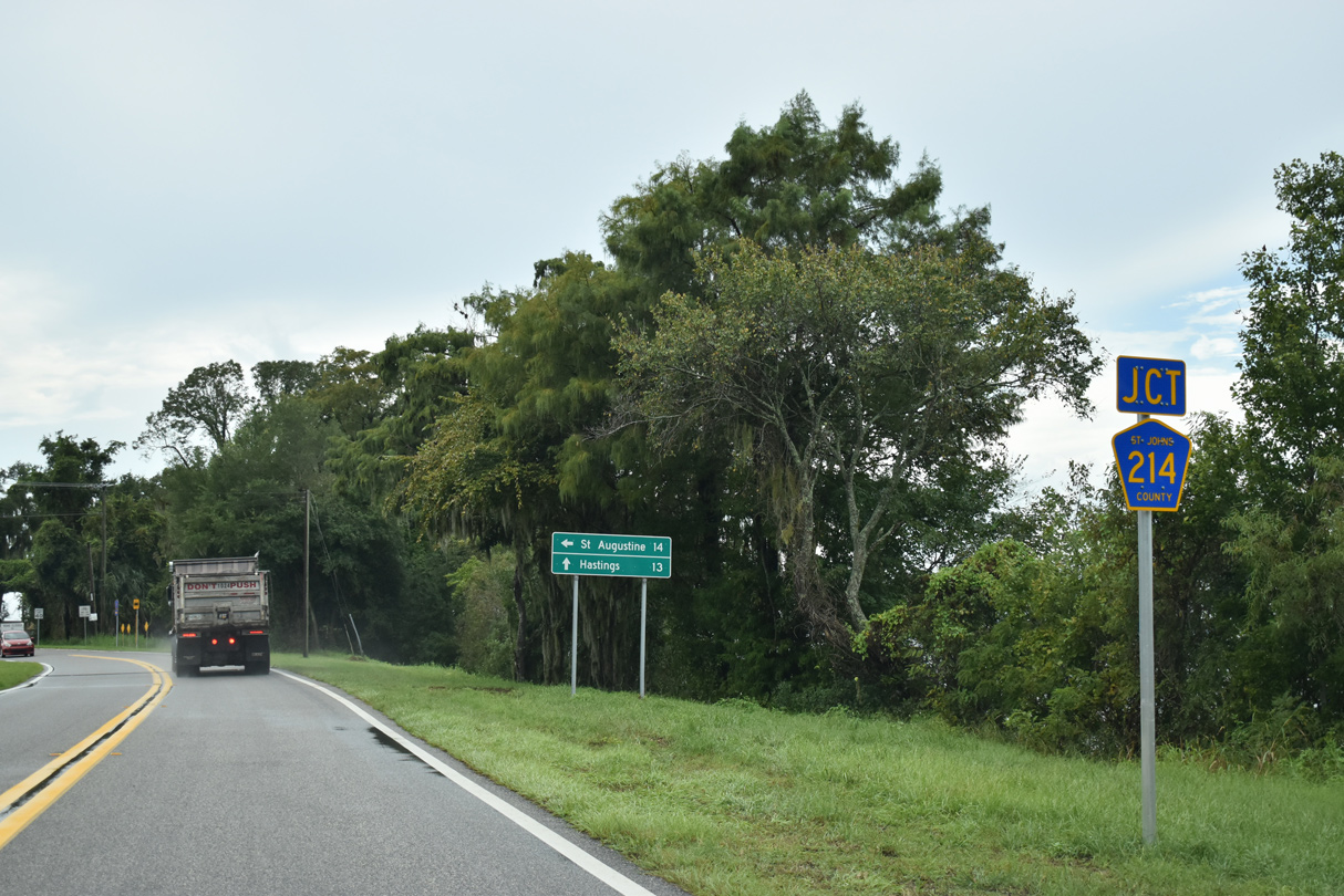
County Road 214 stretches 14.97 miles east from Tocoi to U.S. 1 at King Street (old U.S. 1 Business) west of Downtown St. Augustine.
09/13/22
09/13/22
09/13/22
09/13/22
References:
Baughn, J. (n.d.). SR-13 SB over JULINGTON CREEK, St. Johns County, Florida. BridgeReports.com. https://bridgereports.com/1086407
Photo Credits:
- Alex Nitzman: 06/14/08, 09/13/22
- Brent Ivy: 09/25/22
Connect with:
Page Updated Monday November 14, 2022.