
State Road 29 South - Collier County

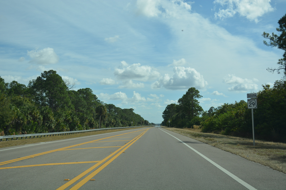
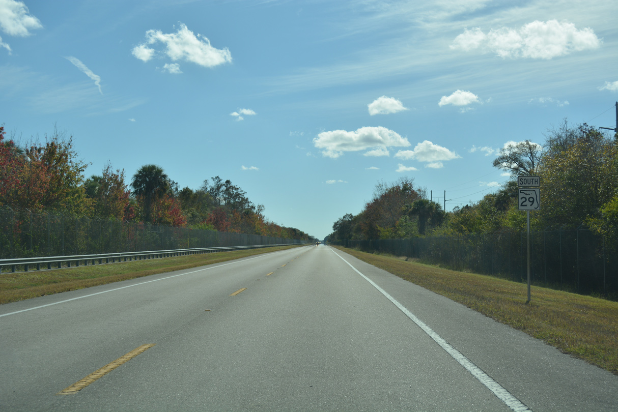
 South
South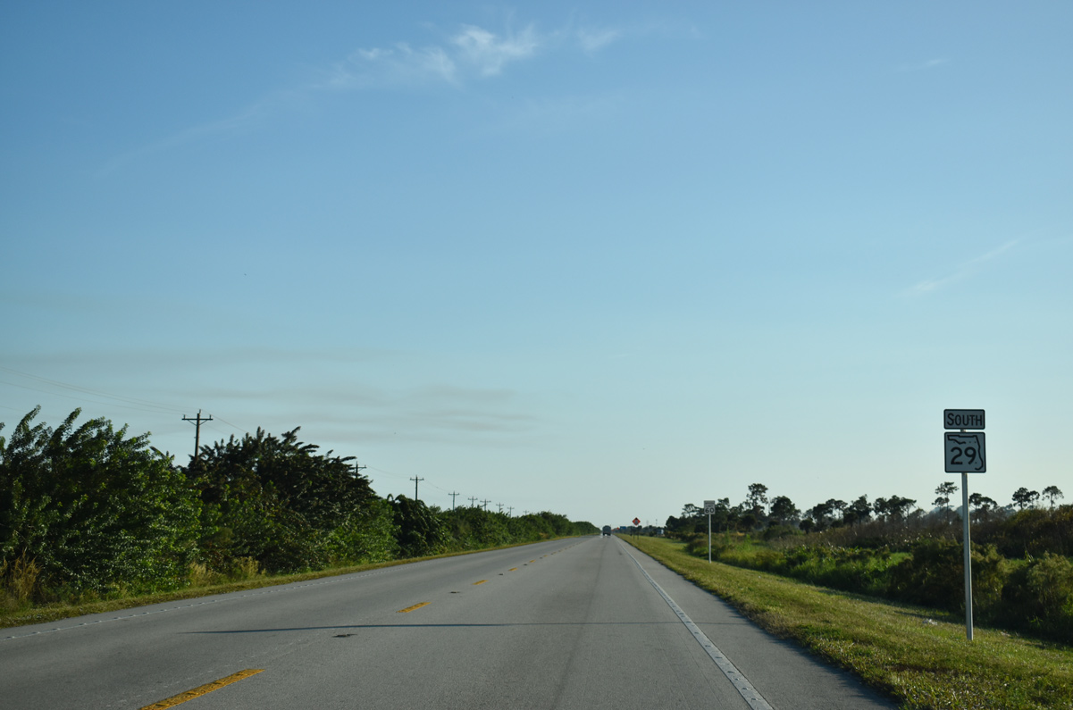
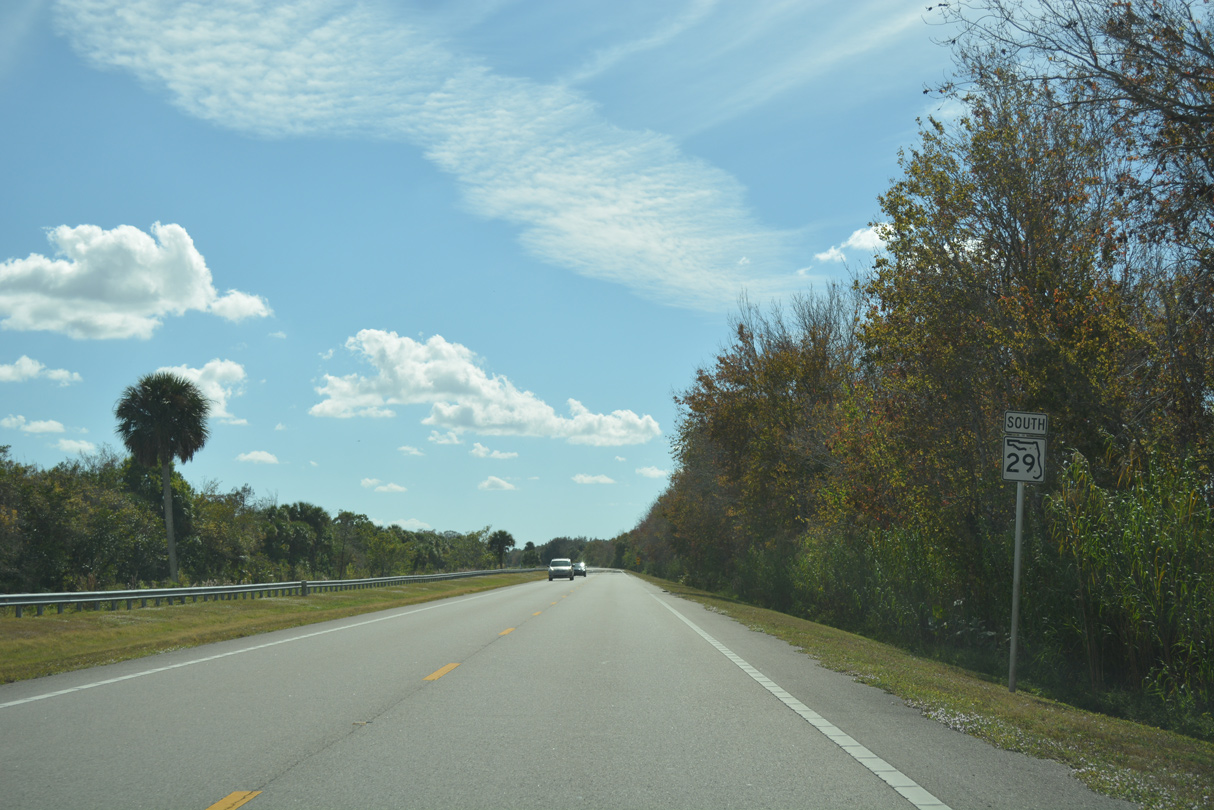
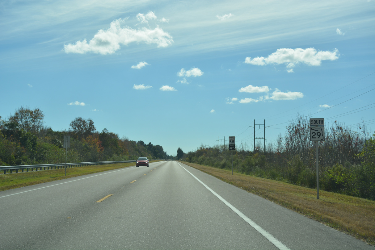
A reassurance marker stands just inside Collier County.
11/29/19
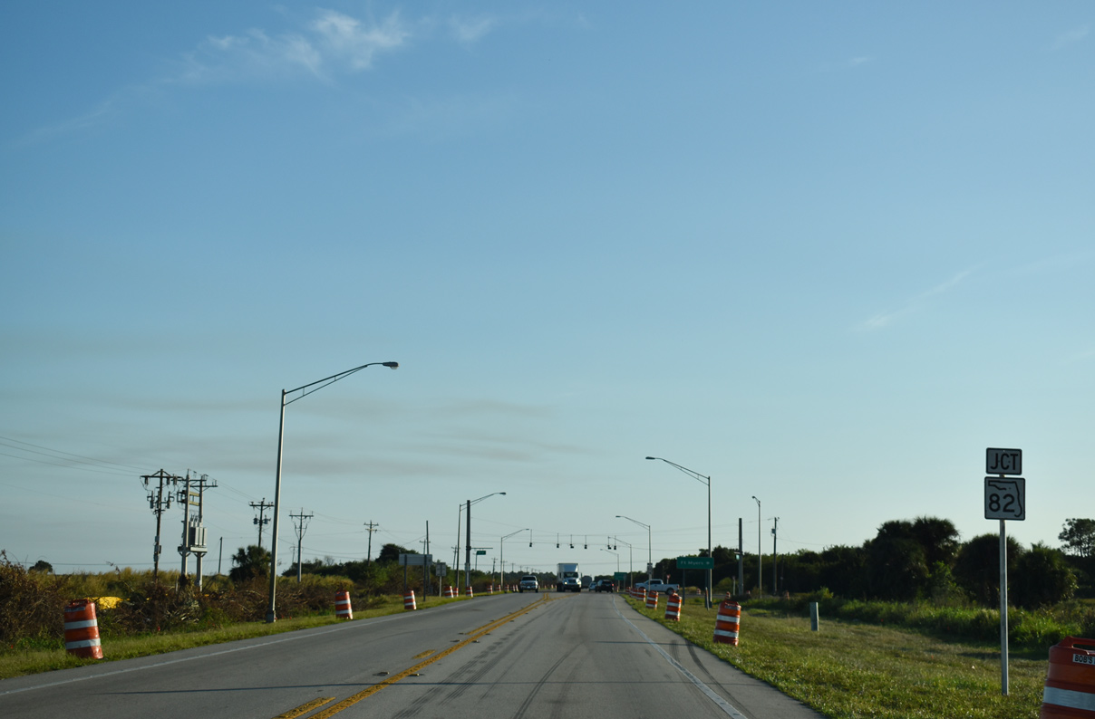
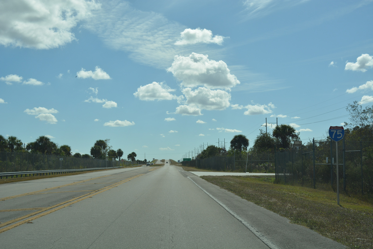
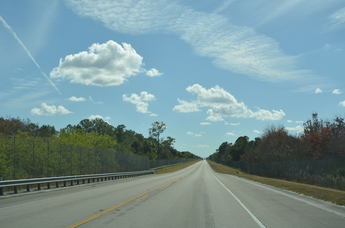
Two miles into Collier County, southbound SR 29 intersects the east end of SR 82. Construction through Summer 2021 converts the SR 29/82 junction into a roundabout, with SR 29 widened 3.2 miles to the west.
11/29/19

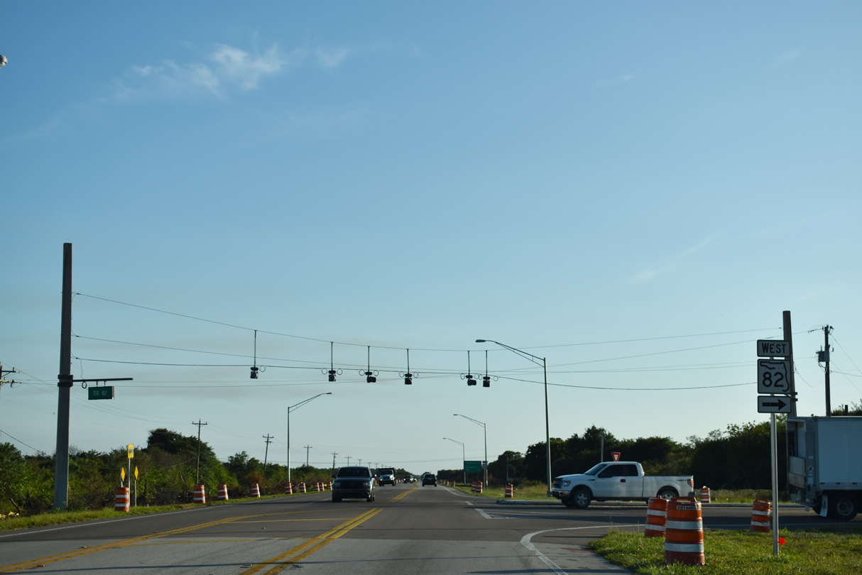
SR 82 travels 29.89 miles west to U.S. 41 (Cleveland Avenue) in Fort Myers.
11/26/16
SR 82 enters Lee County and the LeHigh Acres area 8.34 miles to the northwest. By Summer 2020, all of the state road northwest from the Hendry County line into Fort Myers will be at least four lanes wide.
11/29/19
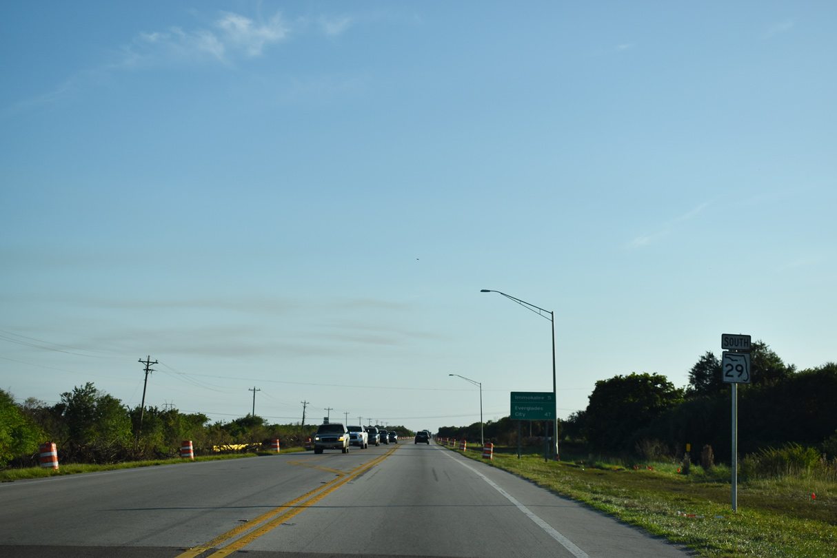
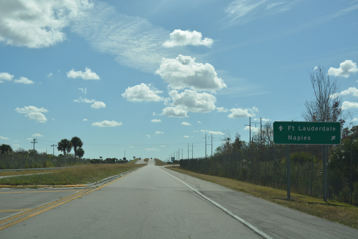
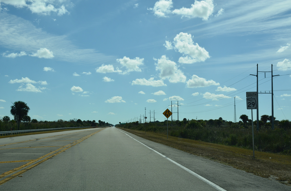
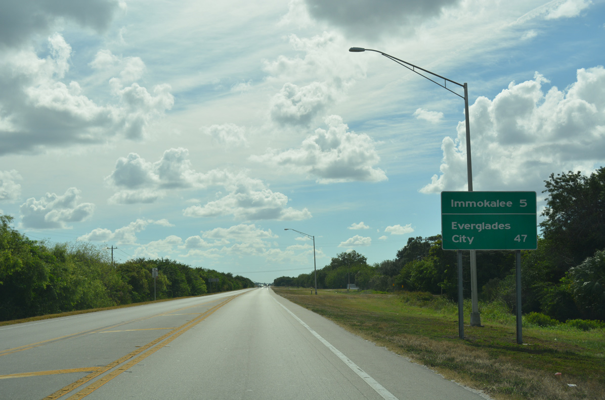
SR 29 continues five miles south from SR 82 south to Immokalee. 47 miles away, Everglades City lies beyond the state road end at U.S. 41.
11/29/19
11/26/16
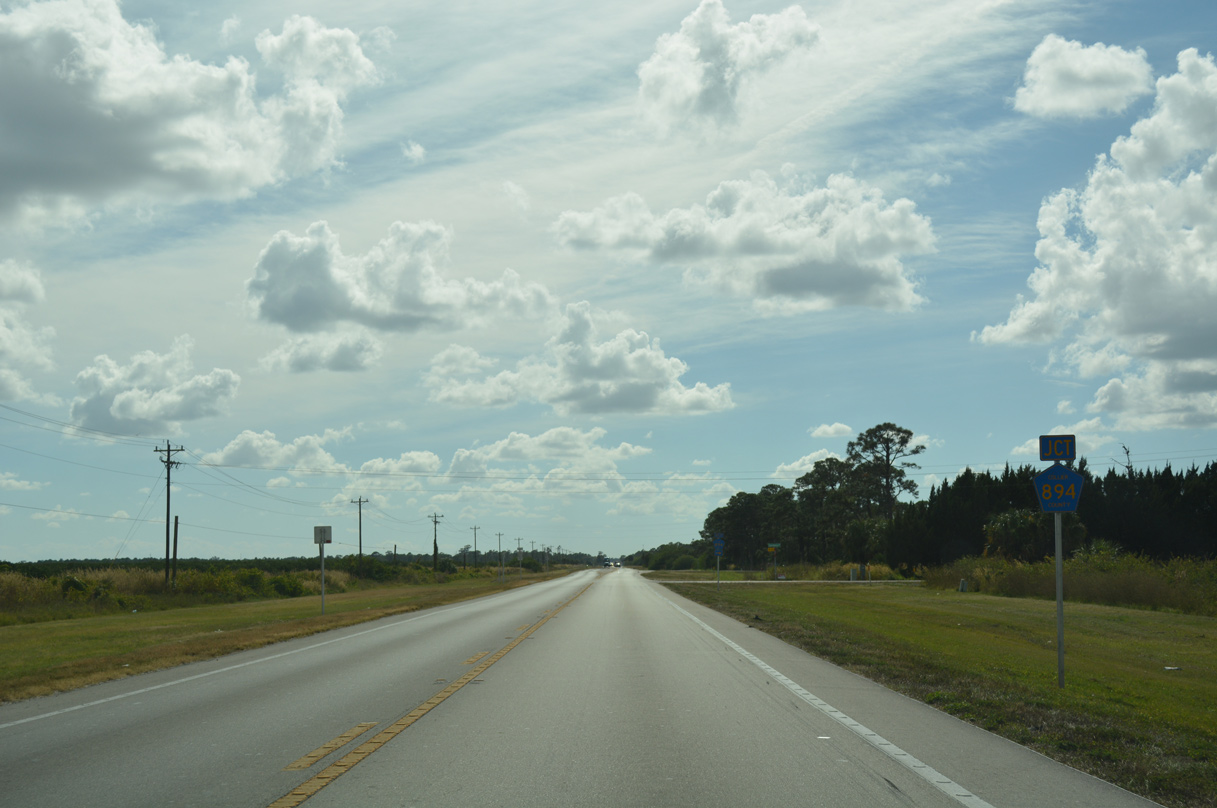
Experimental Road (CR 894) spurs west from SR 29 to State Street.
11/26/16
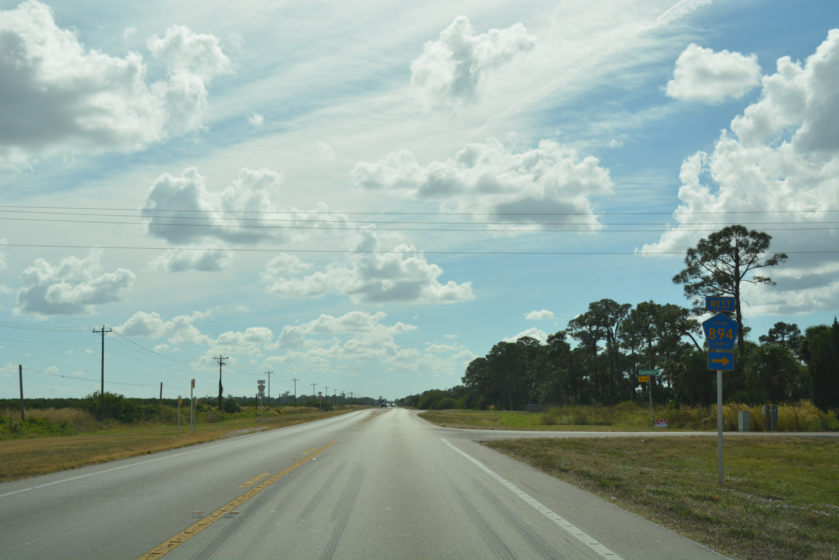
The short route of CR 894 runs along the north side of the UF / IFAS - Southwest Florida Research and Education Center (SWFREC).
11/26/16
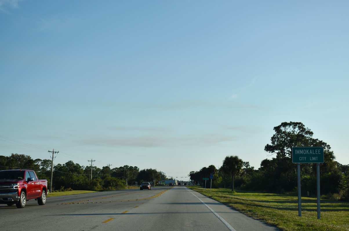
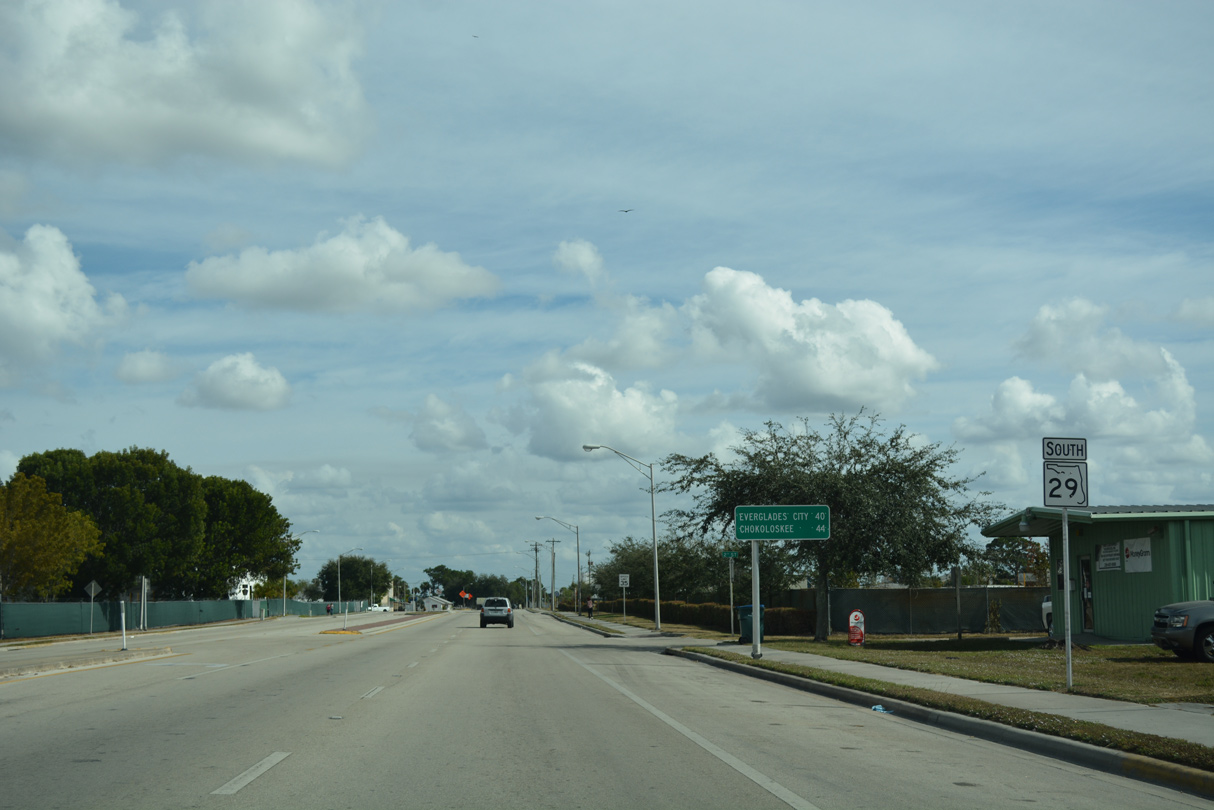
SR 29 advances south into the unincorporated community of Immokalee.
11/29/19
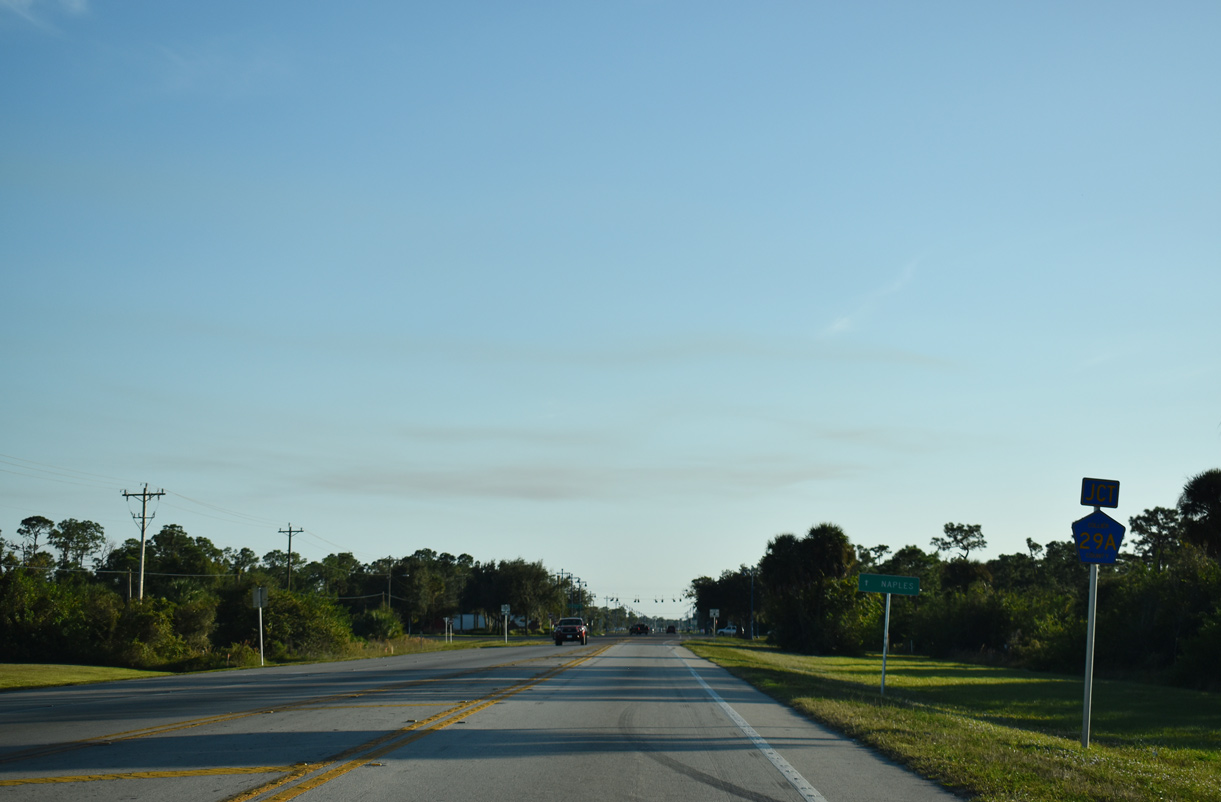
CR 29A branches southeast along New Market Road from SR 29 at Westclox Road.
11/29/19
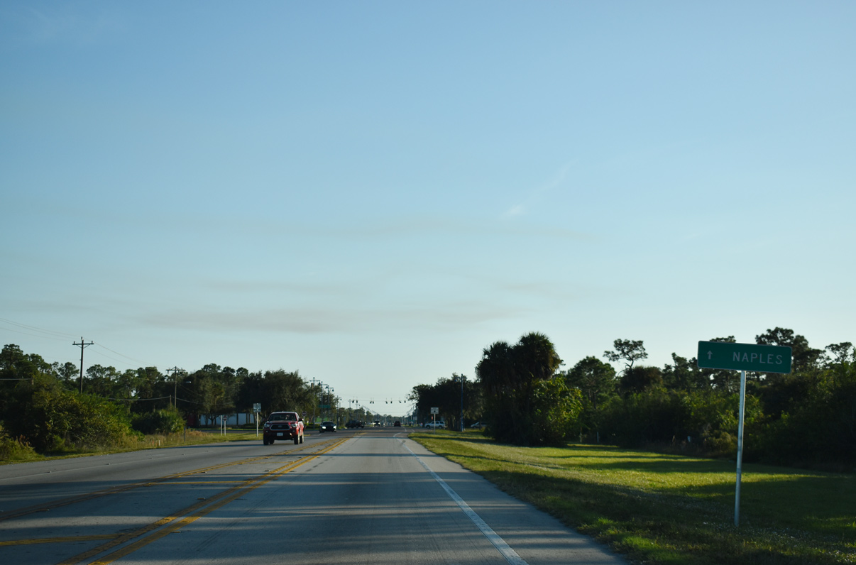
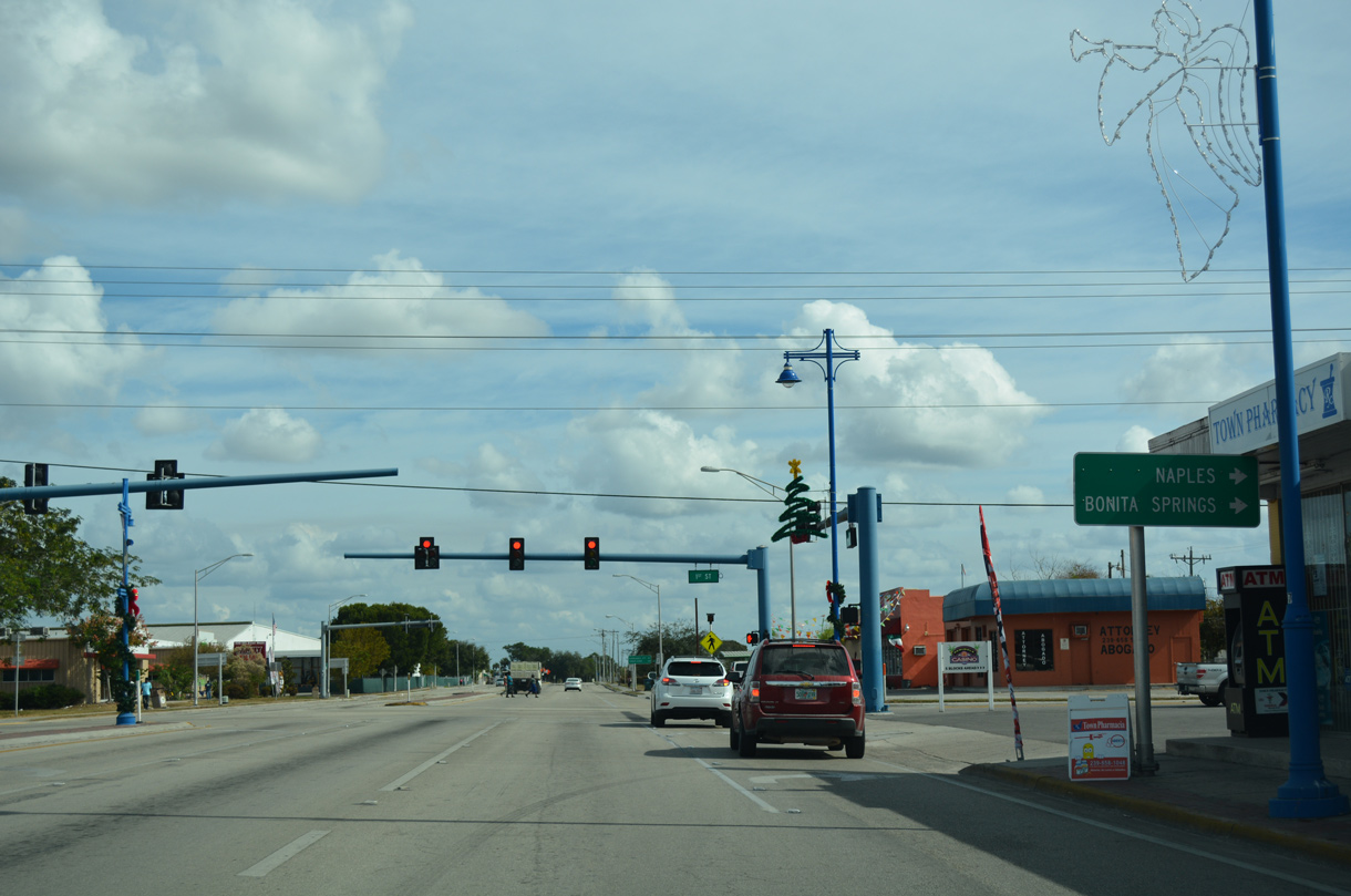
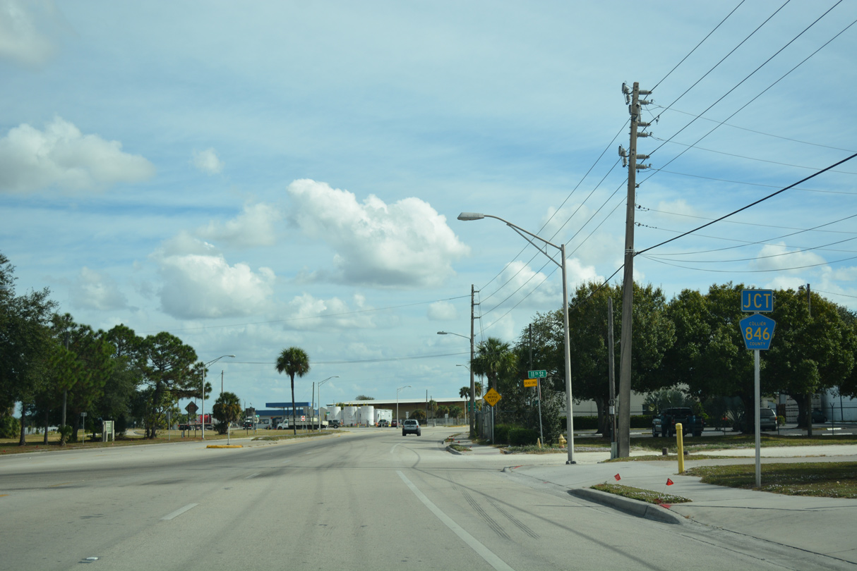
Through traffic to CR 846 west to Naples is advised to remain on SR 29 south to 1st Street.
11/29/19
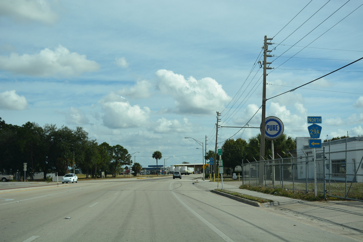
CR 29A returns to SR 29 by Immokalee Airport Park and the eastern segment of CR 846 in 2.23 miles.
11/29/19
South from Westclox Road and CR 29A into Immokalee, SR 29 expands into a three lane boulevard along N 15th Street.
11/29/19
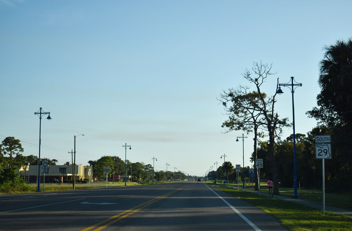
The first traffic light along southbound SR 29 since LaBelle operates at 15th Street and County Road 890 (Lake Trafford Road).
11/29/19

CR 890 spurs 2.88 miles west to several subdivisions and Ann Olesky Park along Lake Trafford.
11/29/19
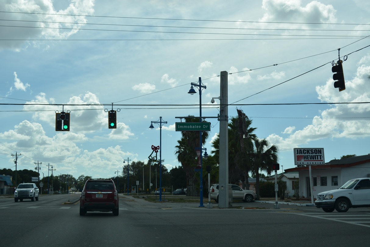
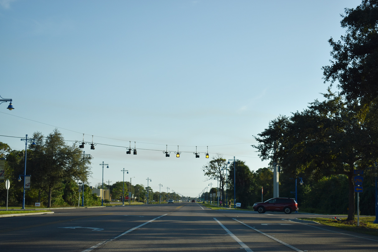
The succeeding traffic light along SR 29 south is with Immokalee Drive.
11/26/16
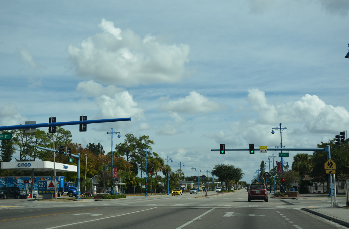
SR 29 curves east from 15th Street onto West Main Street, next meeting 9th Street in Immokalee.
11/26/16
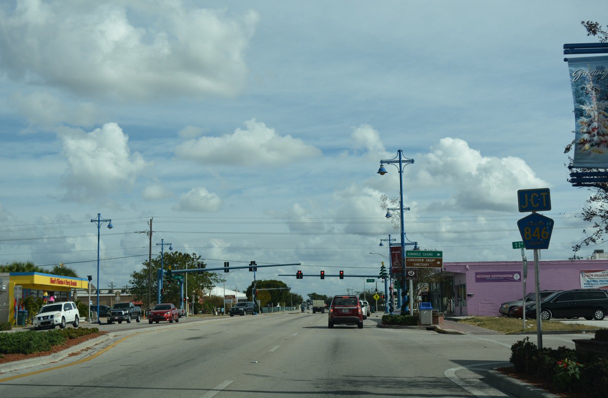
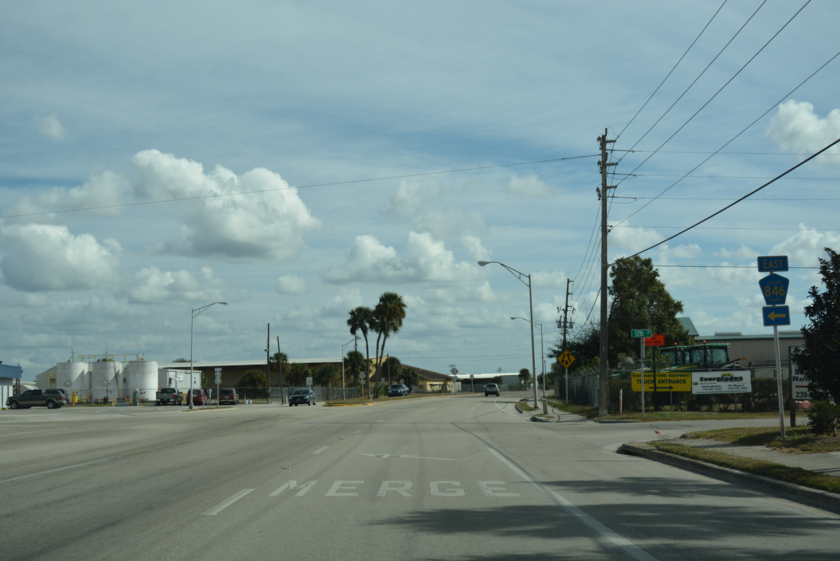
The western section of County Road 846 ties into SR 29 (W Main Street) via S 1st Street in Immokalee.
11/26/16
Following a stair stepped route across rural eastern Collier County, CR 846 ventures 32.92 miles west to U.S. 41 (Tamiami Trail) between Bonita Springs and Naples.
11/26/16
CR 846 shares an implied overlap with SR 29 (Main Street) a half mile east to Immokalee Regional Airport (IMM).
11/26/16

CR 29A (New Market Road) returns to SR 29 in the industrial east side of Immokalee.
11/26/16
SR 29 (E Main Street) at CR 29A (New Market Road) north.
11/26/16
County Road 846 resumes eastward from SR 29 (E Main Street) and Immokalee to southeastern Hendry County.
11/26/16
CR 846 extends 19.79 miles from SR 29 to CR 833 at Dinner Island Ranch Wildlife Management Area.
11/26/16
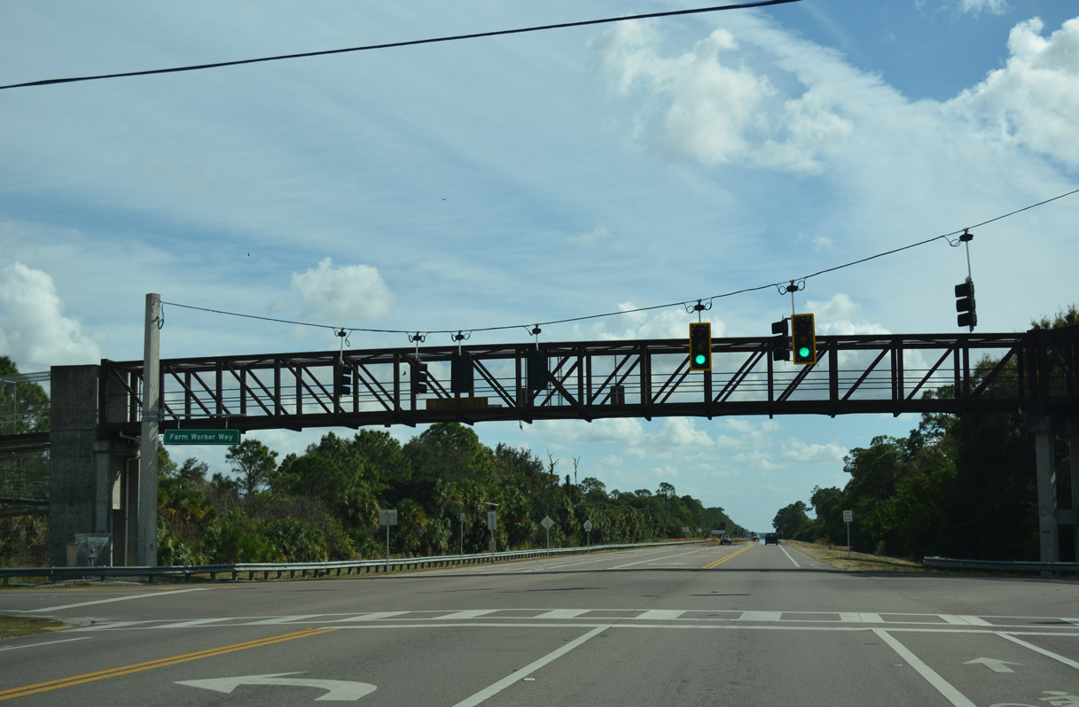
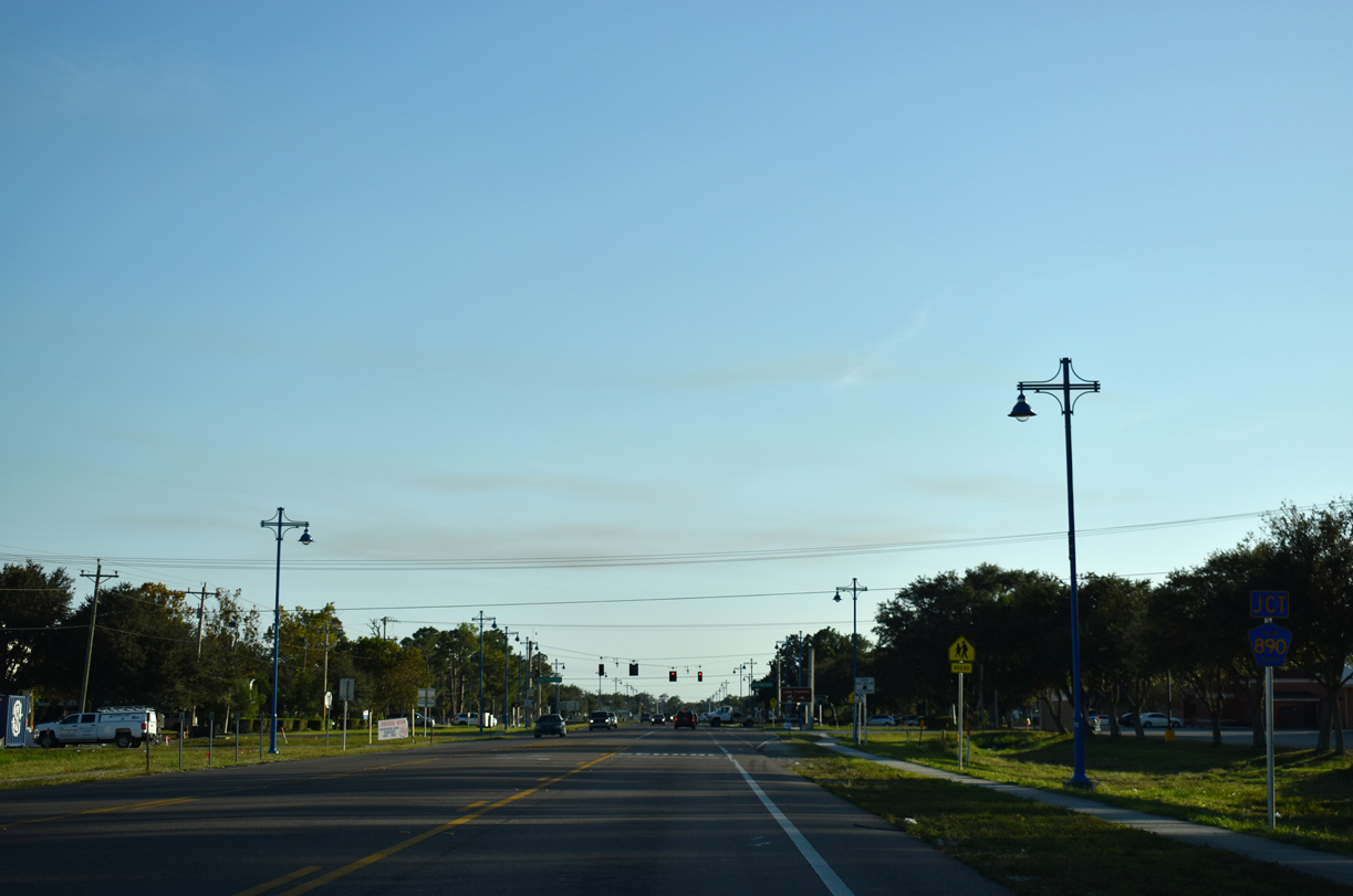
Traffic signals operate along SR 29 (New Harvest Road) at Farm Worker Way. A pedestrian bridge spans the state road between an adjacent housing community and Village Oaks Elementary.
11/26/16
A reassurance marker stands along SR 29 south between Farm Worker Way and Agriculture Way.
11/26/16
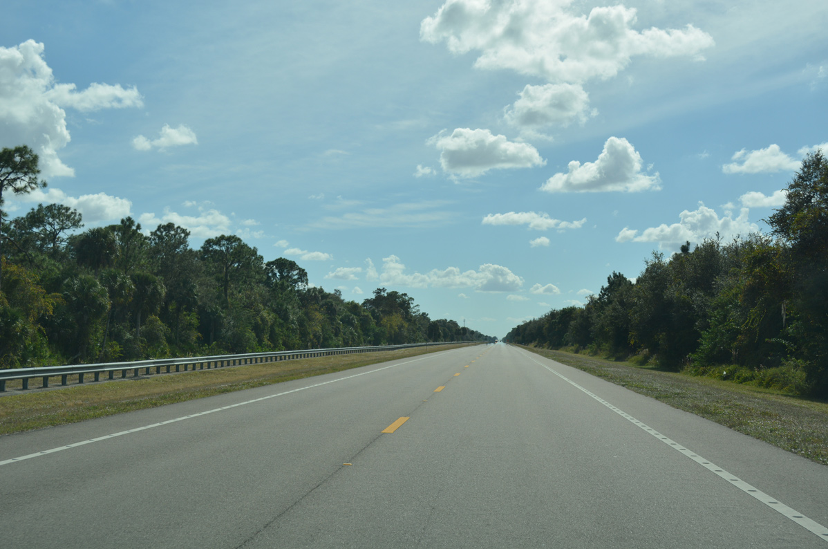
SR 29 makes a gradual turn to the south at Owl Hammock. A linear stretch leads the route east of Summerland Swamp to the settlement of Harker.
11/26/16

Collier County Road 858 (Oil Well Road) crosses paths with SR 29 west of Okaloacoochee Slough and east of Ave Maria.
11/26/16

CR 858 runs 15.87 miles west to CR 846 and 4.70 miles east to the Hendry County line, where it heads north 7.66 miles to CR 846.
11/26/16
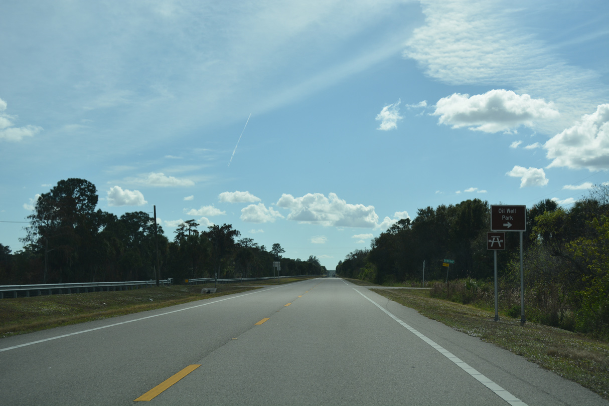
Oil Well Park lines the west side of SR 29 at Oil Well Park Road.
11/26/16
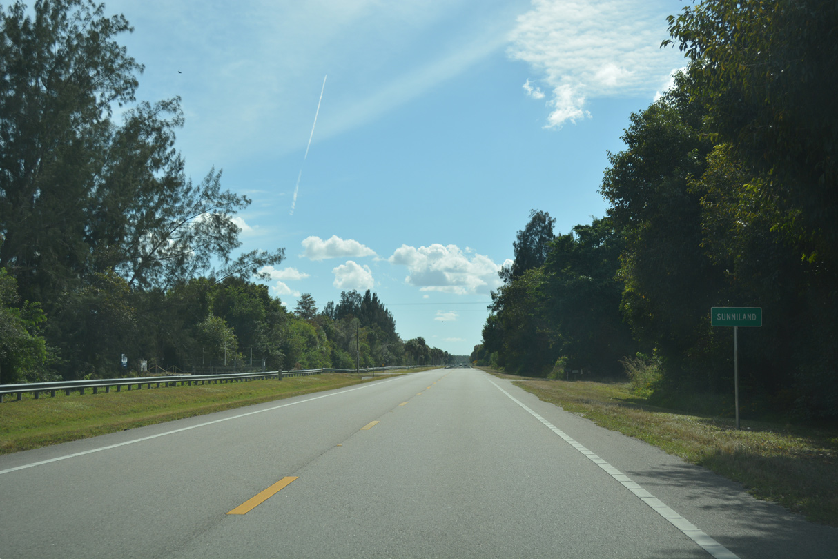
Continuing south from Oil Well Park, SR 29 reaches the settlement of Sunniland.
11/26/16

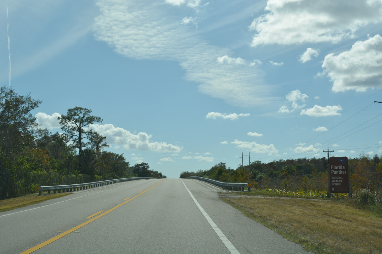
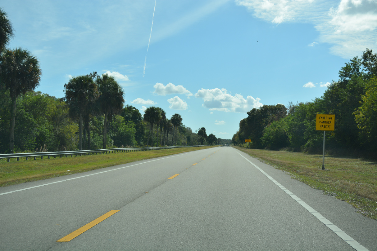
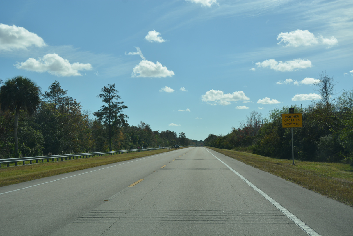
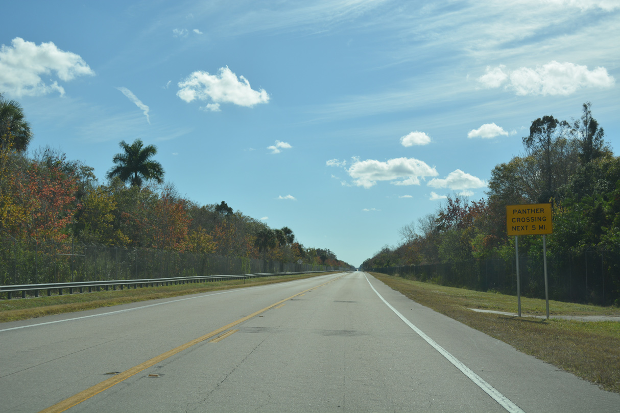
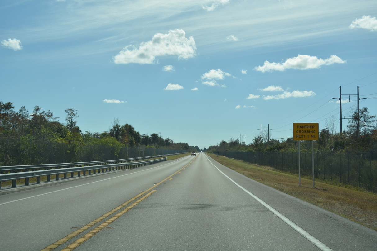
The ensuing seven miles south from Sunniland to Interstate 75 fall within the habitat of Florida Panthers.
11/26/16
SR 29 runs between Florida Panther National Wildlife Refuge and Big Cypress National Preserve south to I-75 at Miles City.
11/26/16
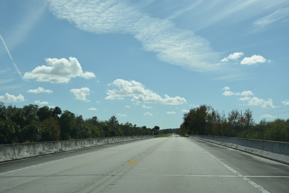
SR 29 elevates across an area of wetlands south of Hog Island.
11/26/16
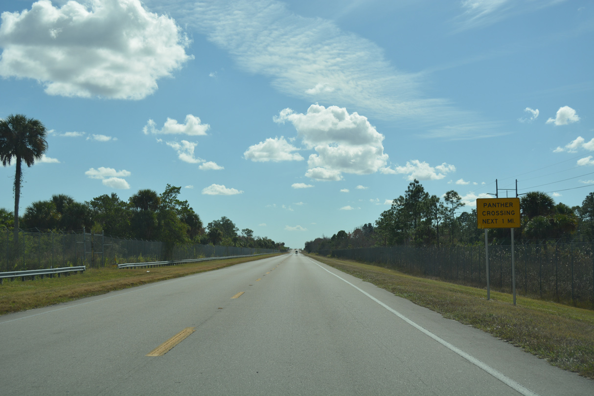
SR 29 elevates across a panther crossing ahead of Miles City and Interstate 75.
11/26/16
Approaching Interstate 75, SR 29 widens with a grassy median.
11/26/16
Following Alligator Alley / Everglades Parkway, Interstate 75 travels west from Miles City to Naples and east to I-595 and SR 869 (Sawgrass Expressway) in Broward County.
11/26/16
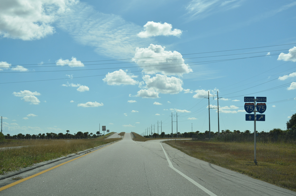
Tolls are not collected at the diamond interchange joining SR 29 with Interstate 75.
11/26/16
Traveling west from SR 29, I-75 separates Florida Panther NWR to the north from Fakahatchee Strand Preserve State Park to the south.
11/26/16
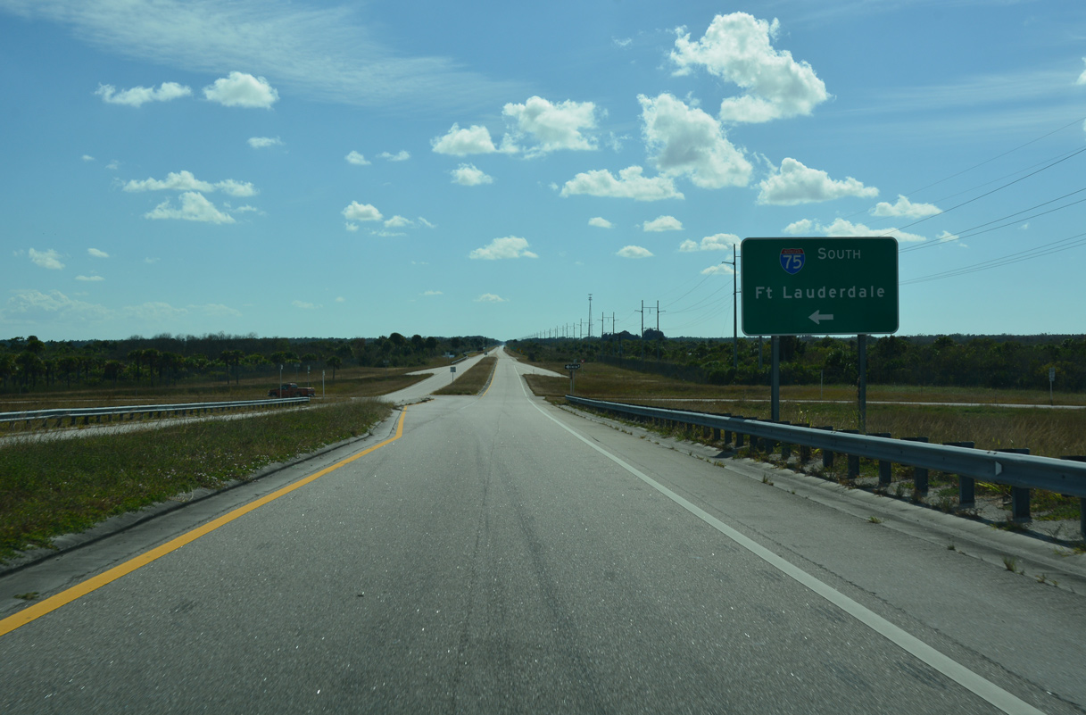
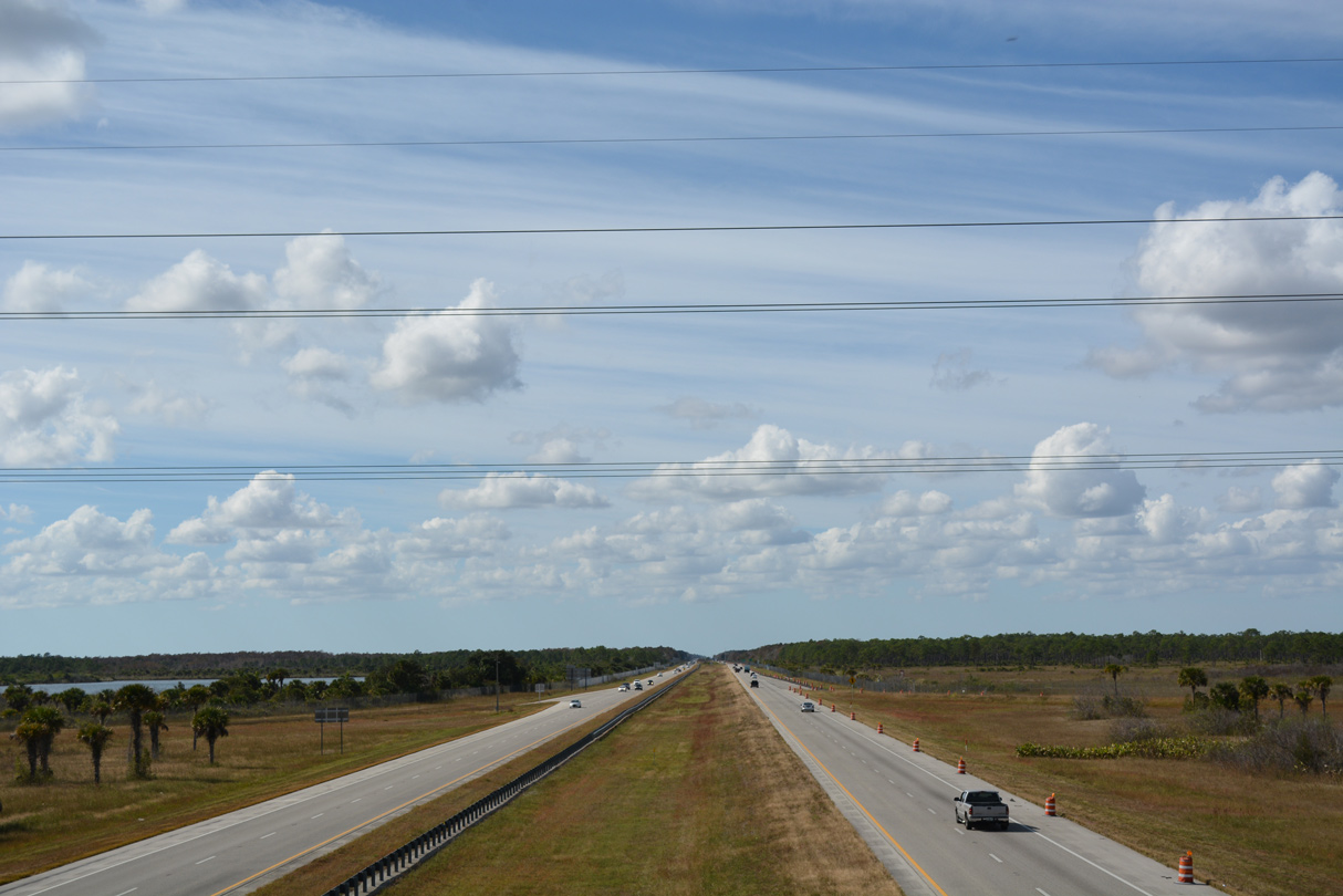
Interstate 75 plies across the Everglades east to U.S. 27 at Andytown. The freeway turns south at Sunrise toward Hialeah, with I-595 continuing the drive east to Fort Lauderdale.
11/26/16
Continuing south from I-75, SR 29 travels alongside Fakahatchee Strand Preserve State Park through Miles City Prairie.
11/26/16
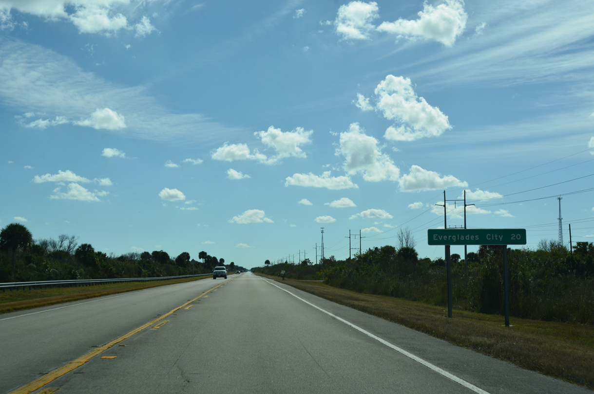
Everglades City is 20 miles south of the exchange with I-75 via SR 29 and CR 29.
11/26/16
SR 29 navigates around a pair of S-curves at Deep Lake.
11/26/16
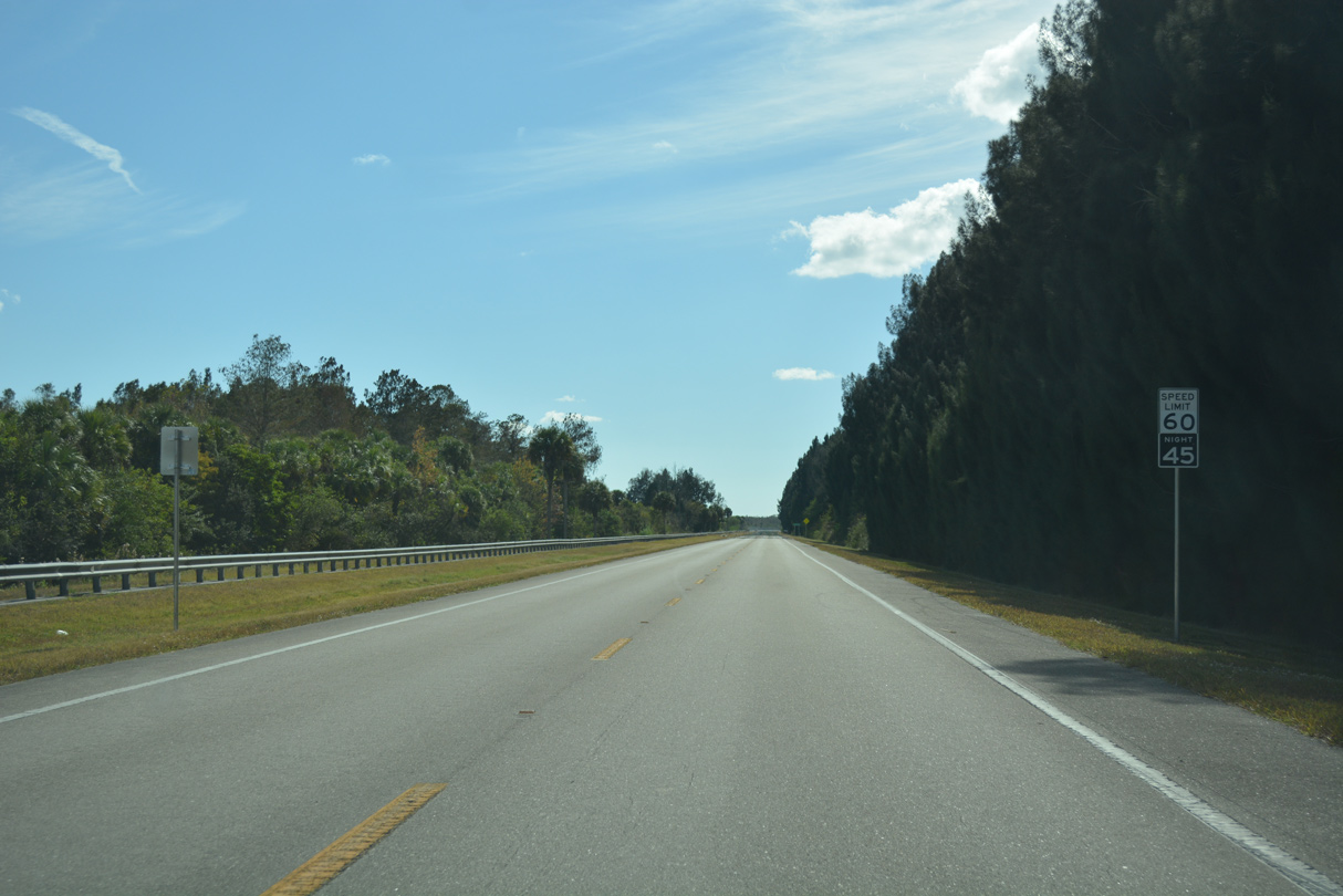
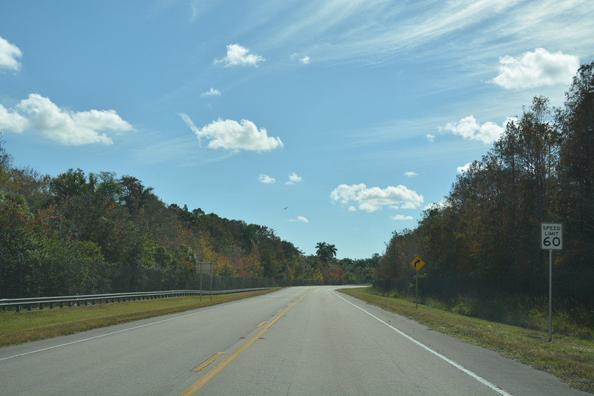
Different speed limits are used for day and night time driving along State Road 29 in the Everglades.
11/26/16
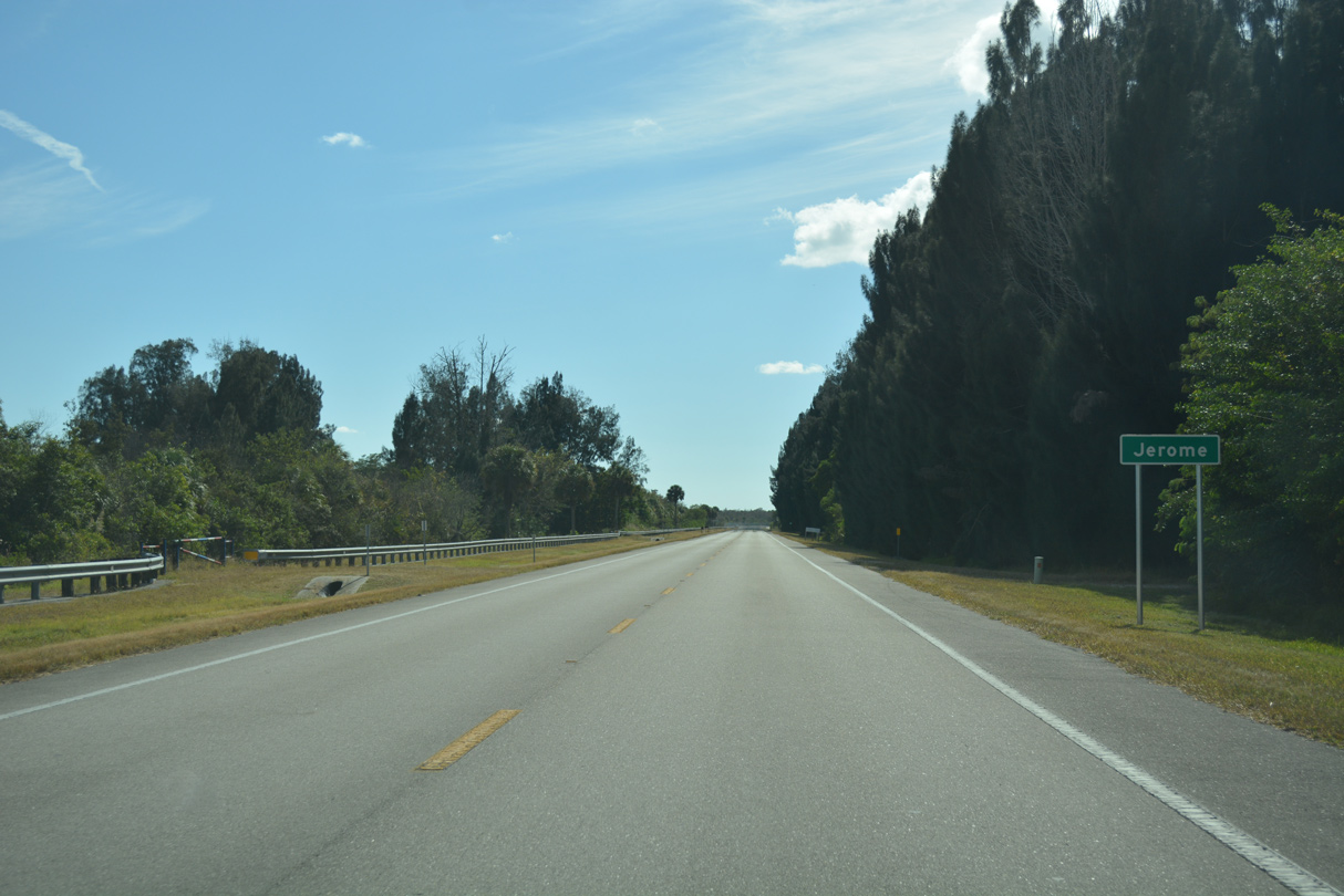
Progressing south between Fakahatchee Strand and Deep Lake Strand, SR 29 reaches the settlement of Jerome.
11/26/16

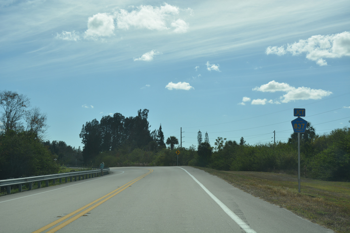
Collier County Road 837 ventures east and north from SR 29 across Copeland Prairie along a 7.63 mile course.
11/26/16
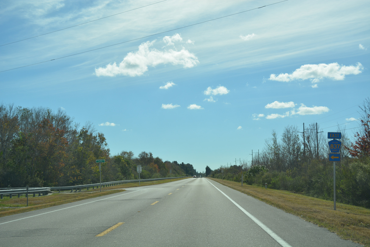
CR 837 connects SR 29 with CR 839. CR 839 parallels the state road to the east from U.S. 41 to Interstate 75.
11/26/16
The last confirming marker for SR 29 appears beyond CR 837 (Wagon Wheel Road) east.
11/26/16
SR 29 proceeds south from the east branch of CR 837 to Copeland.
11/26/16
SR 29 shifts eastward from the parallel old railroad grade by the community of Lee Cypress.
11/26/16
The western segment of CR 837 comprises a short spur along Janes Scenic Drive.
11/26/16
Janes Scenic Drive extends north from CR 837 and Church Street in Copeland to Lee Cypress and Lake Harmon.
11/26/16
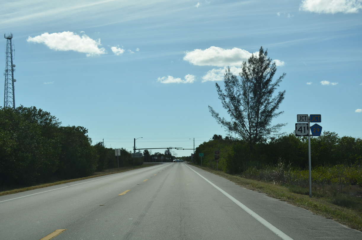
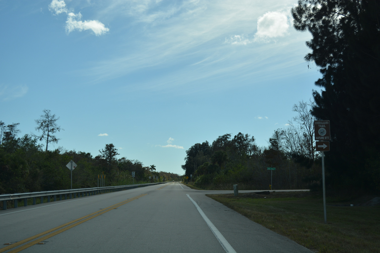
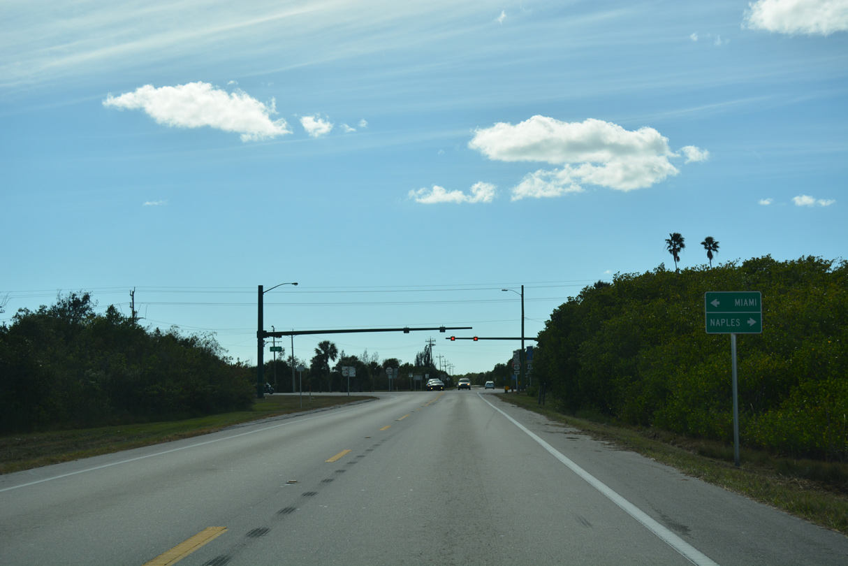
SR 29 intersects U.S. 41 (Tamiami Trail) at Carnestown, 2.5 miles south of CR 837 and Copeland.
11/26/16
U.S. 41 (Tamiami Trail) traverses the Everglades east to Ochopee, Monroe Station and Miccosukee Indian Village en route to Miami. CR 92 (San Marco Road) west to Marco Island is 15.7 miles to the west via U.S. 41.
11/26/16
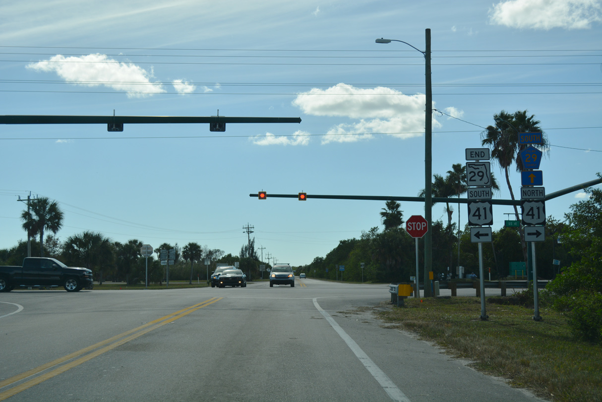
South of U.S. 41, SR 29 becomes Collier County Road 29 en route to Everglades City and Chokoloskee.
11/26/16
Photo Credits:
- ABRoads: 11/26/16, 11/29/19
Connect with:
Page Updated Tuesday December 03, 2019.