
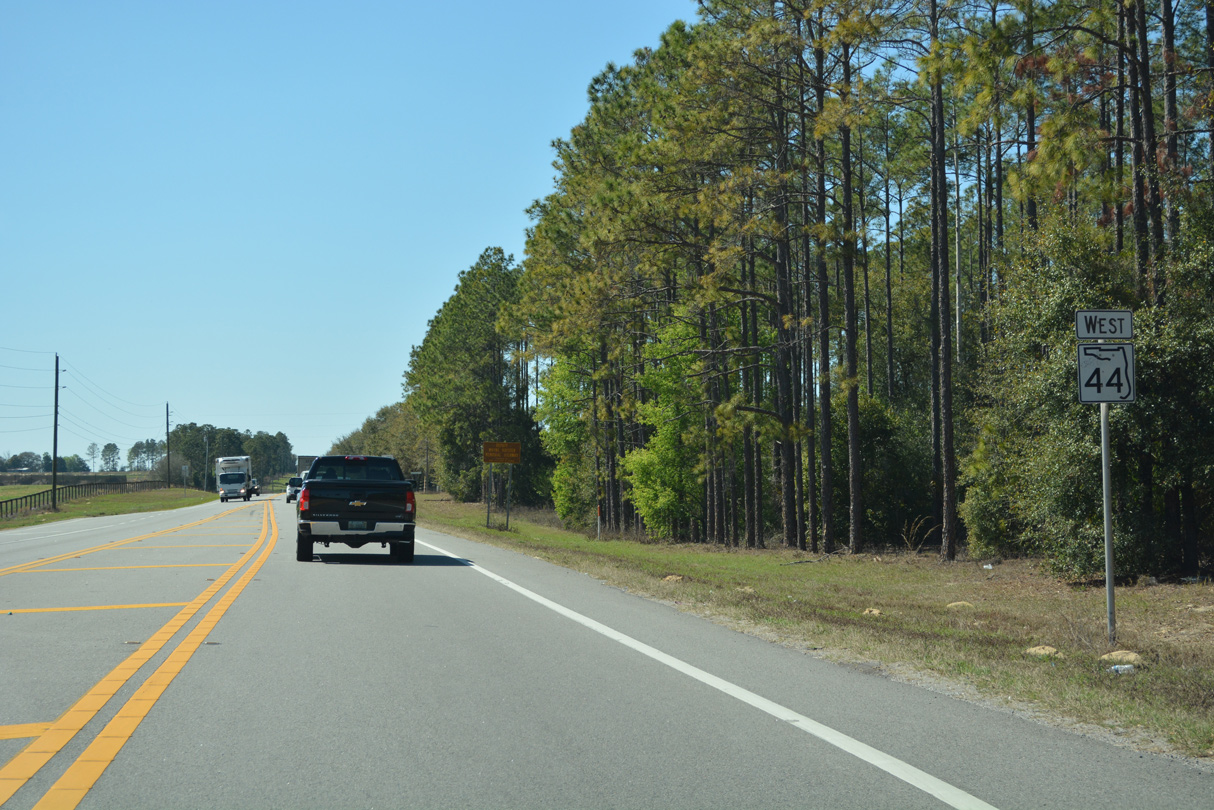
State Road 44 West - DeLand to Eustis
 West
West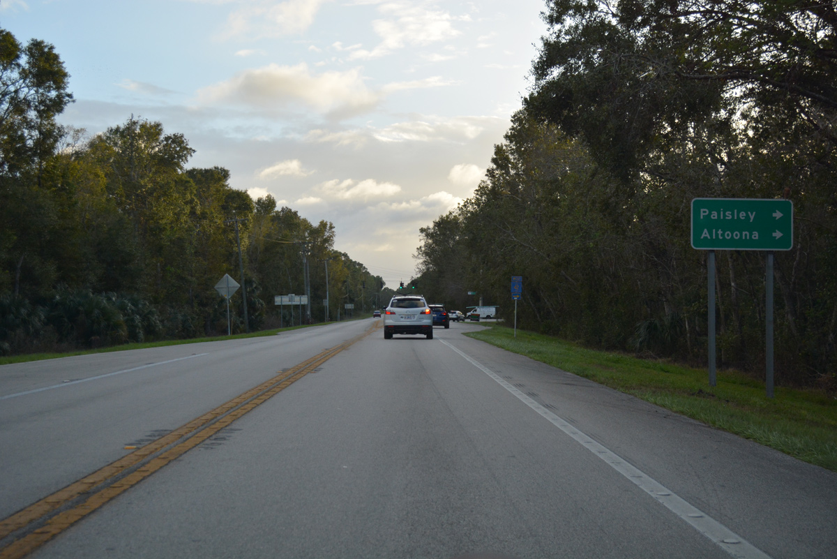
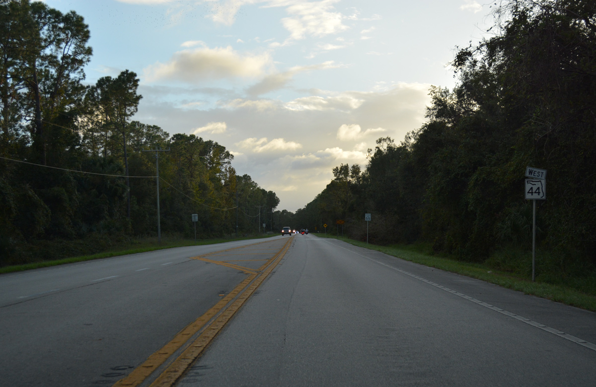
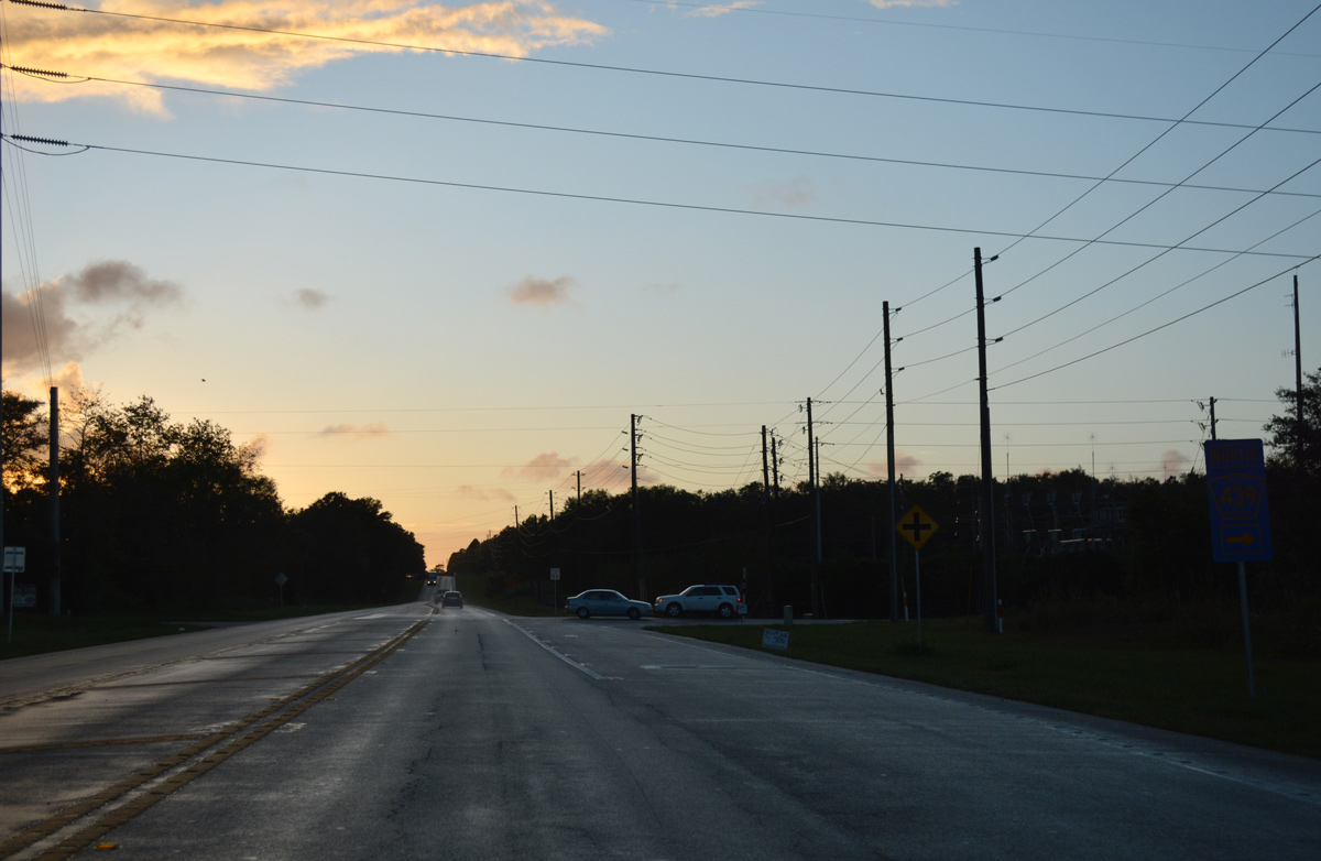
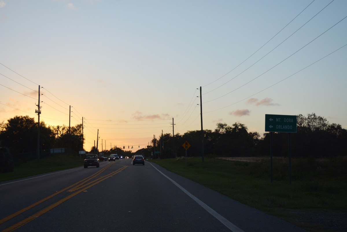
Just into Volusia County, SR 44 west intersects CR 42 west to Fullerville, Paisley and Altoona.
10/19/17
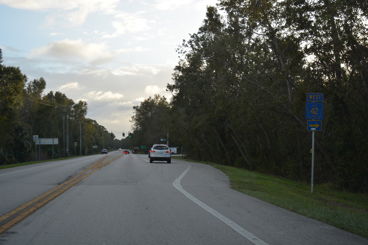
Lake County Road 42 runs along the southern boundary of Ocala National Forest west to CR 439 south. The county road joins SR 44 with SR 19 at Altoona.
10/19/17
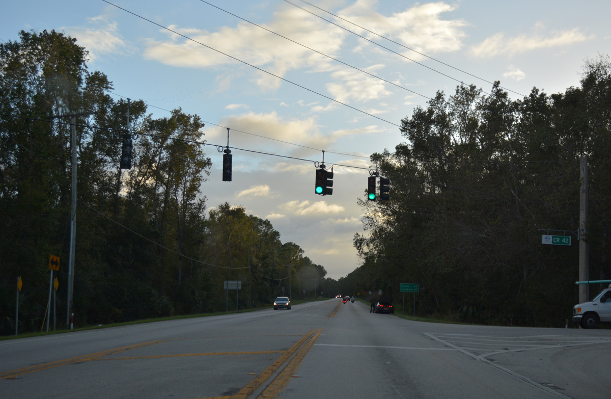
A set of flashers at SR 44 and CR 42 were upgraded to traffic lights by 2014.
10/19/17
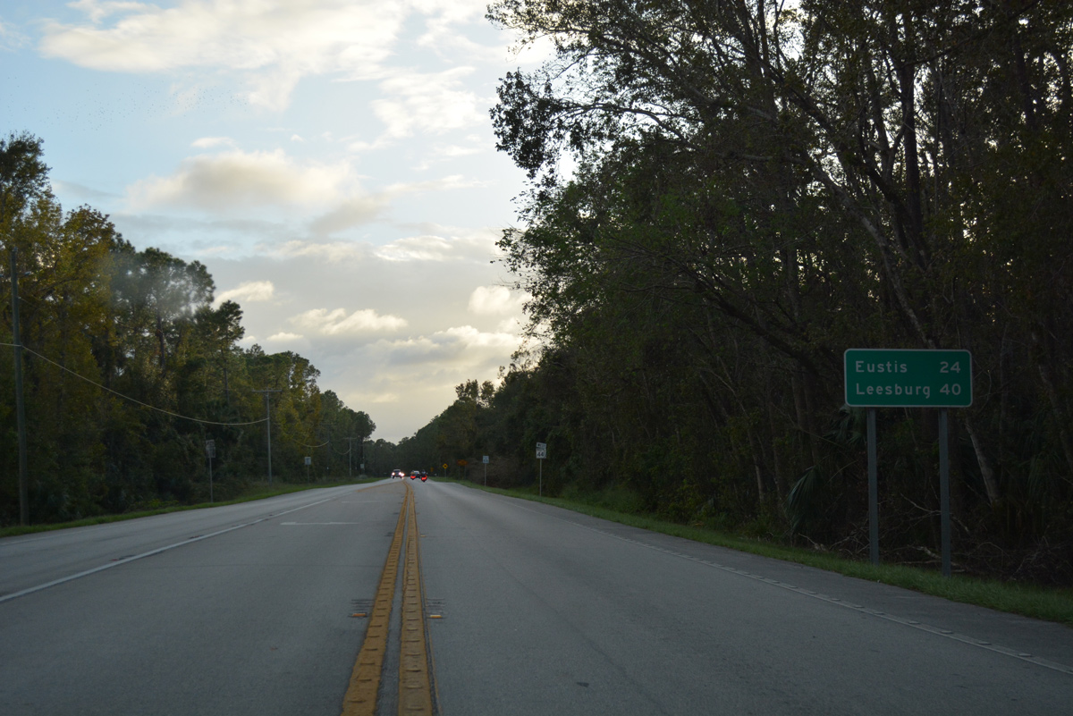
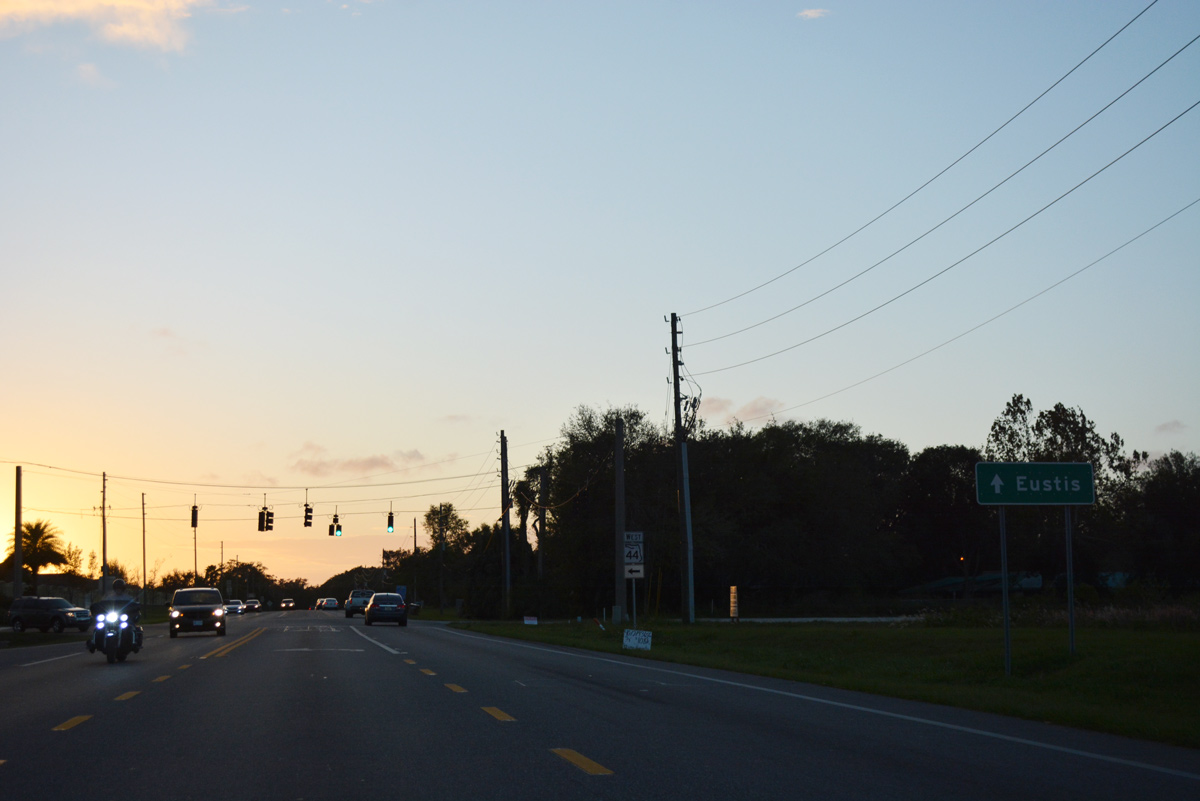
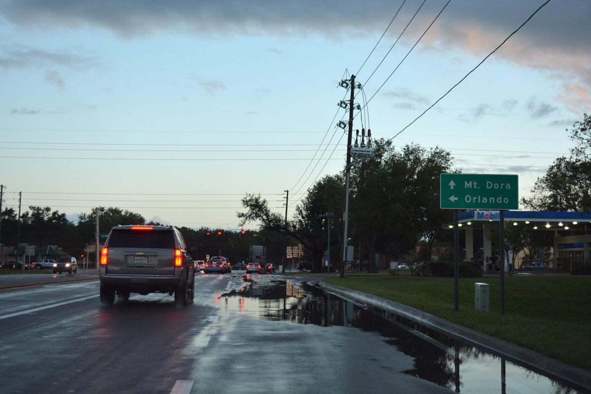
This distance sign profiles two of Lake County's main cities, Eustis (24 miles) and Leesburg (40 miles).
10/19/17
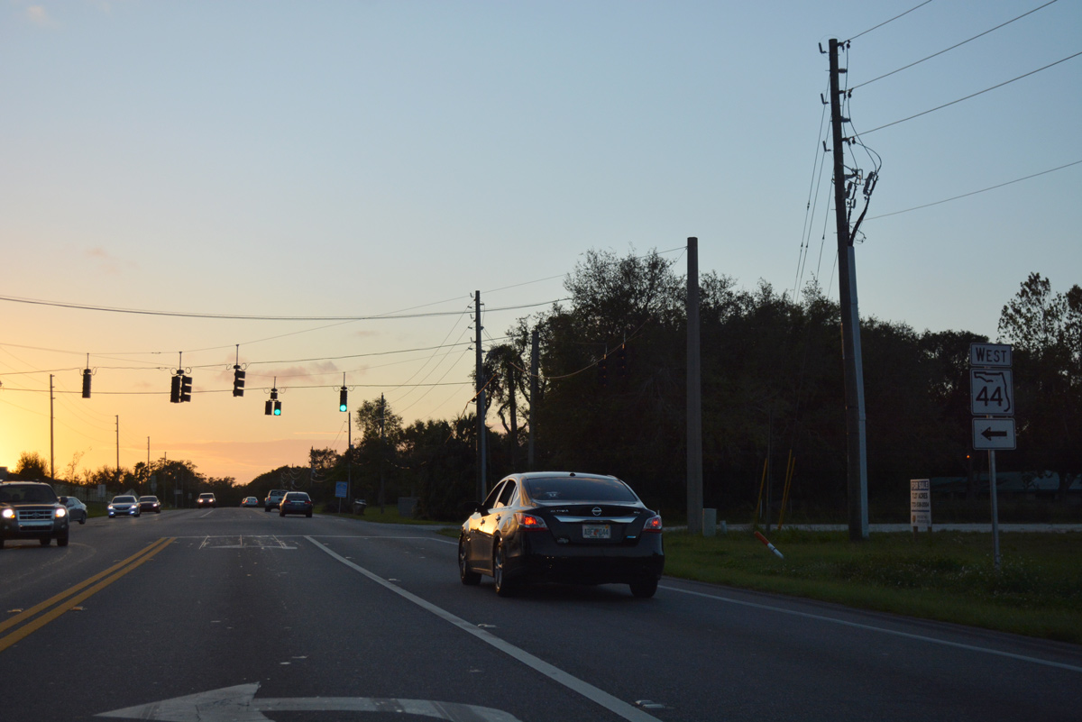
Confirming marker for SR 44 west posted after CR 42 and Crow's Bluff.
10/19/17
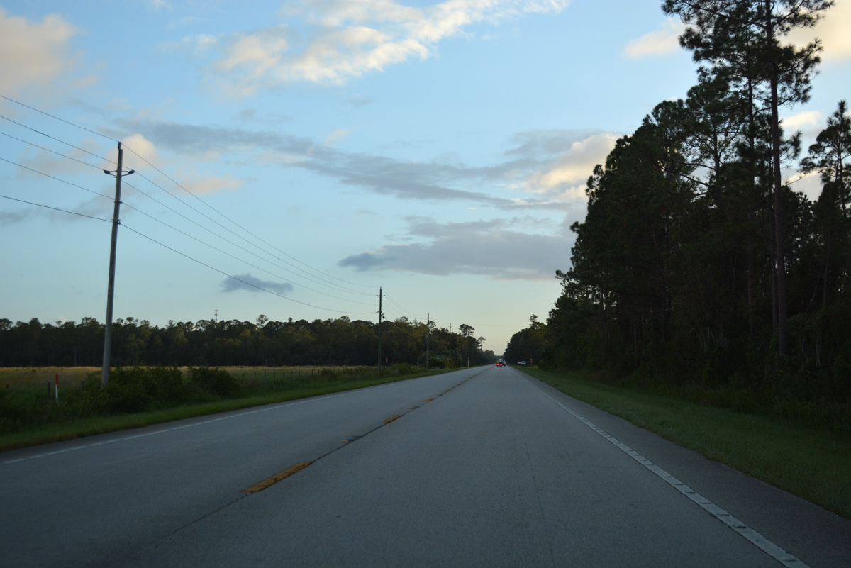
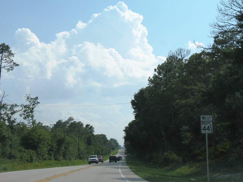
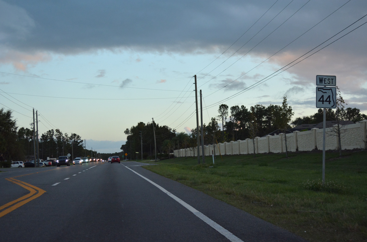
Long straightaways take SR 44 southwest through rural areas of northeast Lake County. This scene looks at the highway at Cummer Road east.
10/19/17
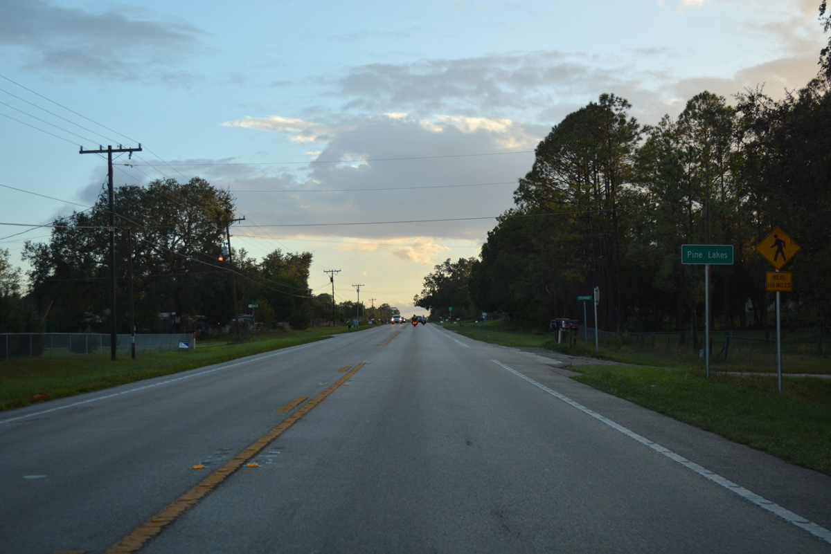
Pine Lakes is the first of two rural communities along SR 44 between the Volusia County line and the Eustis / Mt. Dora area.
10/19/17
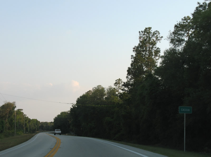
The settlement of Cassia follows Pine Lakes along SR 44 west.
05/08/08
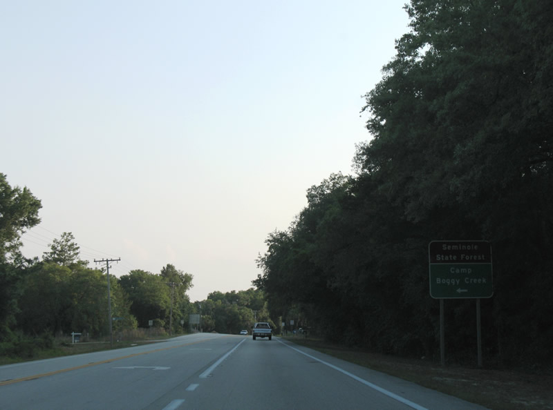
Brantley Branch Road stems east from SR 44 at Cassia to Camp Boggy Creek within Seminole State Forest.
05/08/08
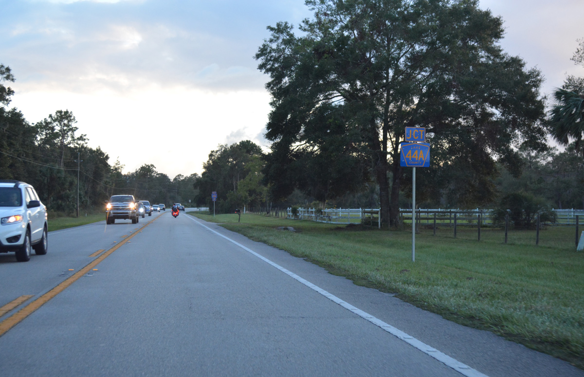
Nearing Lake County Road 44A west on SR 44, southwest after Cassia.
10/19/17

Lake County Road 44A (Burlington Avenue) branches west as an alternate route from SR 44 to Eustis.
06/14/08
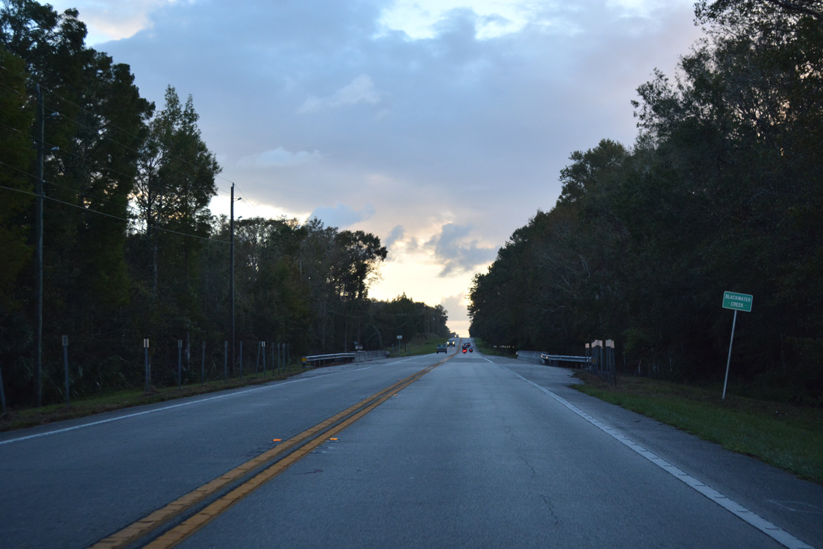
SR 44 continues southwest and crosses Blackwater Creek after the split with Lake County Road 44A.
06/14/08
10/19/17
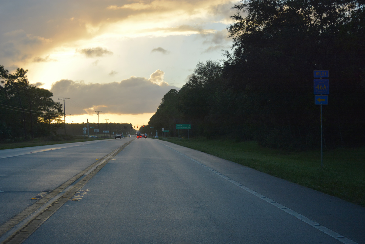
SR 44 west and CR 46A converge west of Live Oak Hammock and Seminole Swamp.
10/19/17
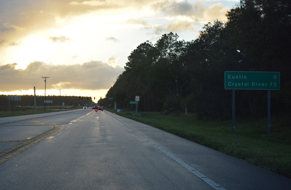
Crystal River, the western terminus of SR 44 at U.S. 19/98, appears on this distance sign preceding Lake County Road 46A. SR 44 however is a discontinuous route between Eustis and Leesburg.
10/19/17
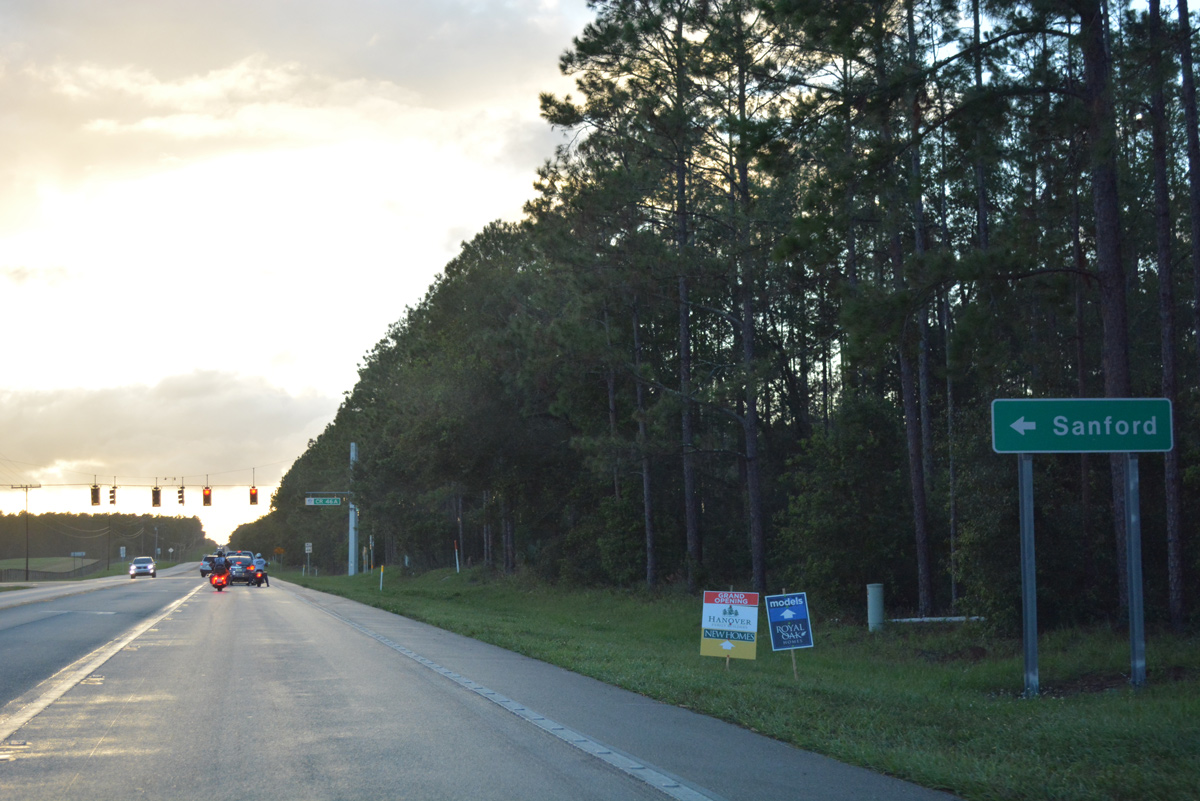
CR 46A angles 5.59 miles southeast to SR 46 through the settlement of Seminole Springs. Construction of Wekiva Parkway includes a major realignment of the county road southward to the toll road near Mt. Plymouth.
10/19/17
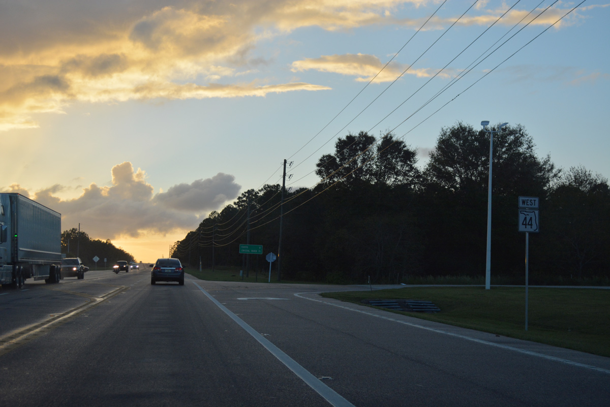
Continuing west from County Road 46A on SR 44. This stretch of SR 44 is the Deputy Wayne Koester Memorial Highway.
03/02/22
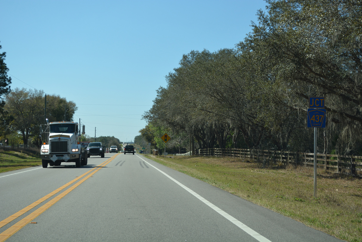
The succeeding traffic light along SR 44 west is with County Road 437. CR 437 leads 1.7 miles north to CR 44A (Burlington Avenue).
03/02/22
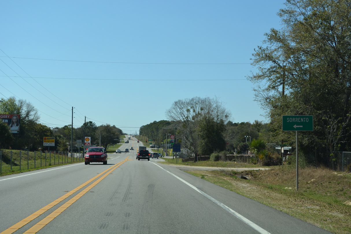
South from SR 44, CR 437 continues three miles to SR 46 at the community of Sorrento.
03/02/22

Overall County Road 437 travels 18 miles, linking northeast Lake County with Apopka and Ocoee in the Orlando area.
03/02/22
Advancing west from CR 437, SR 44 travels along the north side of the Sorrento Hills golf course community.
10/19/17
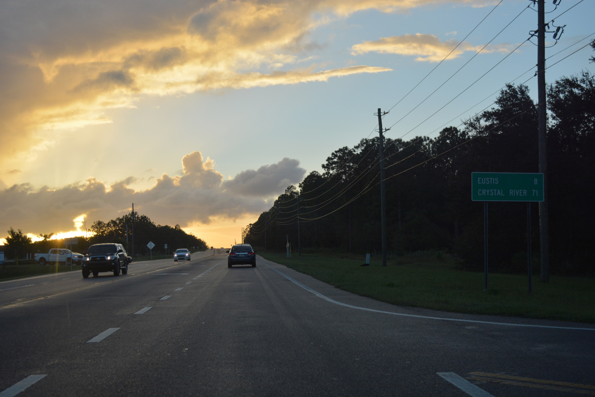
Crystal River appears again along SR 44 westbound distance signage after CR 437.
10/19/17

Transmission lines accompany SR 44 west from Sorrento Hills to a substation at County Road 439.
10/19/17

Upcoming County Road 439 constitutes a rural highway traveling 7.8 miles north from SR 44 to County Road 42.
10/19/17
SR 44 west at Lake County Road 439 north to Seneca Hills and Riordan Road south.
10/19/17
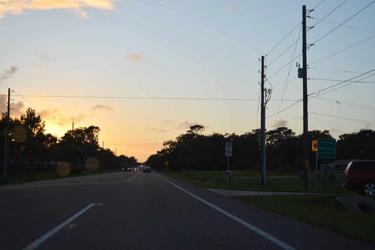
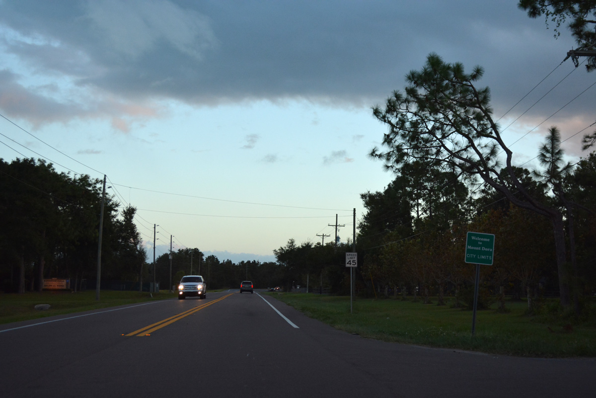
The Mount Dora city limits extend around the Lakes of Mount Dora development northward to SR 44.
10/19/17
SR 44 turns south to connect with U.S. 441 along the former route of County Road 44B. Orange Avenue continues west as County Road 44 into Eustis.
10/19/17
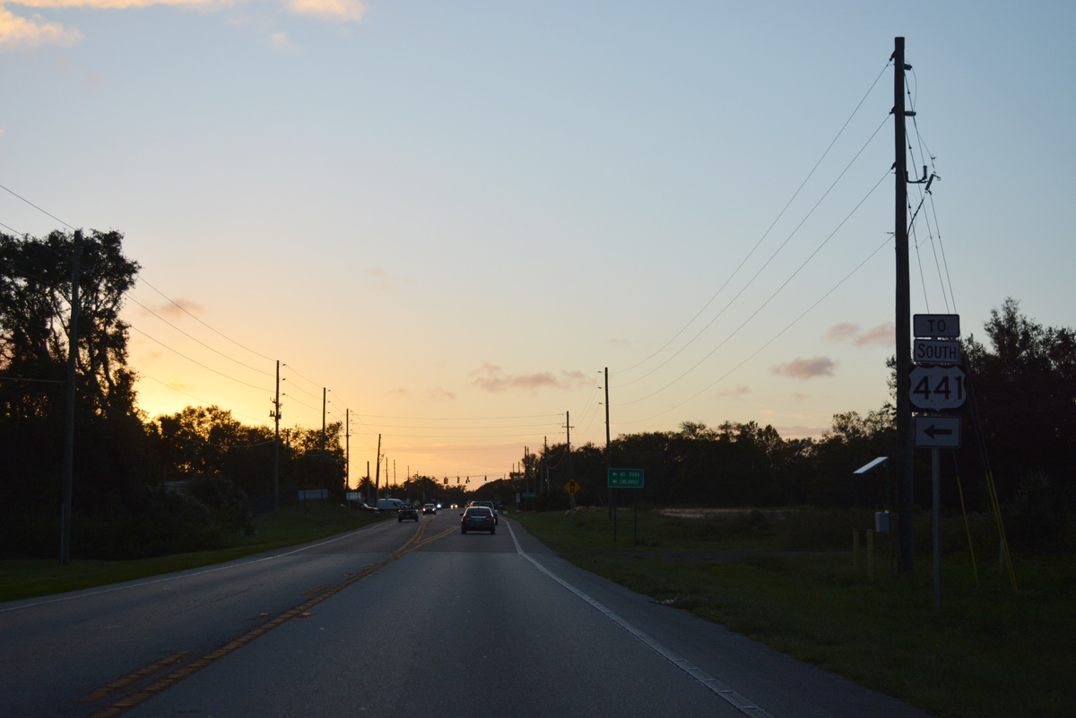
SR 44 heads southward 2.11 miles to U.S. 441 as part of a southerly bypass around Eustis.
10/19/17
SR 44 turns southward 2.11 miles to U.S. 441 as part of a bypass of Downtown Eustis.
10/19/17
Orange Avenue (CR 44) leads 3.17 miles west from SR 44 to SR 19 in Downtown Eustis. A north-south branch of CR 44 (DeLand Road) connects Orange Avenue with Burlington Avenue 1.2 miles to the west as the north bypass of the city.
10/19/17
SR 44 west at the split with Lake County Road 44 (Orange Avenue).
10/19/17
SR 44 passes reenters the Mt. Dora city limits along the east side of Lake Joanna by Mid Florida Air Service Airport (X55).
10/19/17
Waycross Avenue curves northwest from the upcoming intersection along SR 44 south to the Arbor Hills and Ridgeview subdivisions in southeast Eustis.
10/19/17
Six-laning of U.S. 441 through Mt. Dora and Eustis in 2008 included expansion of intersecting roads. SR 44B widens to four lanes on its approach to Orange Blossom Trail.
10/19/17
U.S. 441 bypasses Mt. Dora as a commercial arterial to the north and a less developed four lane highway on the city's east side. Donnelly Street extends south from SR 44 and OBT as CR 44B toward Downtown.
10/19/17
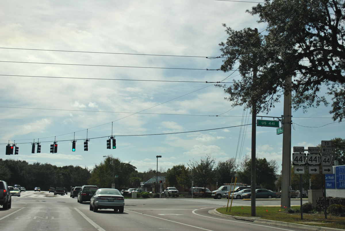
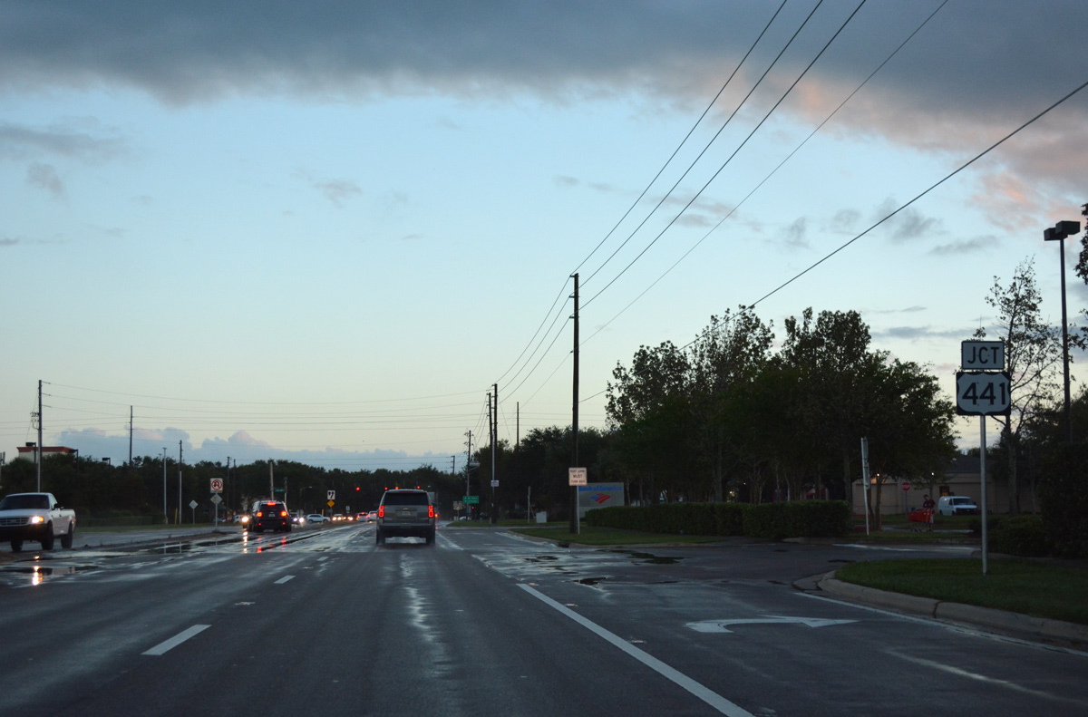
U.S. 441 connects Mt. Dora with Apopka and Orlando to the southeast and Eustis and Tavares to the west. SR 44 accompanies U.S. 441 west 13.97 miles to Dixie Avenue in Leesburg along an unmarked concurrency.
12/21/11
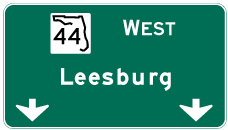
Photo Credits:
- ABRoads: 10/19/17
- Alex Nitzman: 05/08/08, 06/14/08, 12/21/11, 10/19/17
- Alex Nitzman, JP Nasiatka: 03/02/22
Connect with:
Page Updated Tuesday August 30, 2022.