
State Road 50 West - Brevard County
 West
West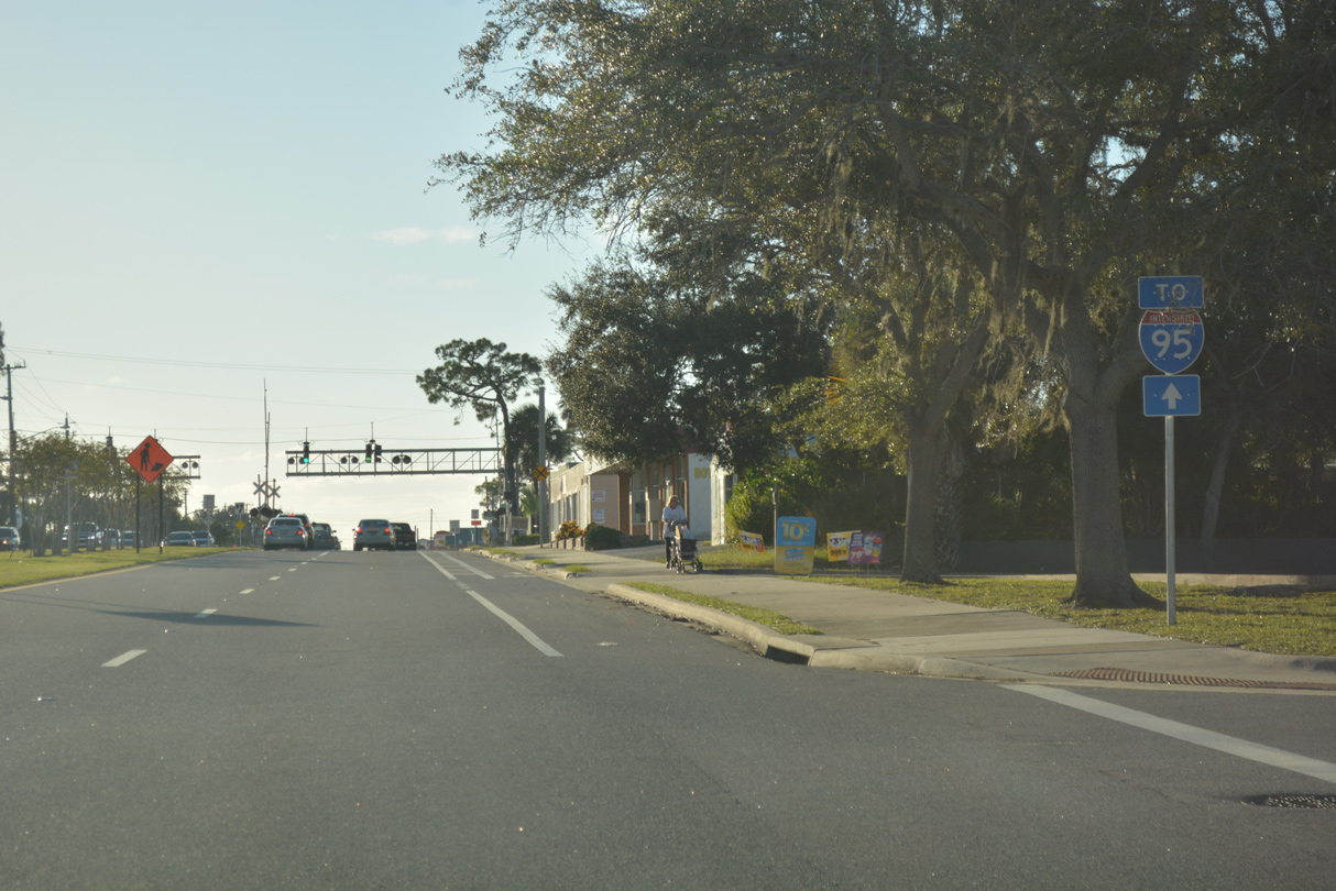
An I-95 trailblazer takes the place of the first confirming marker for SR 50 westbound along Cheney Highway after U.S. 1. There are no reassurance markers posted along SR 50 west throughout Brevard County.
10/21/18
Hopkins Avenue stems north from a signalized intersection with Cheney Highway. Paralleling the Florida East Coast (FEC) Railway, Hopkins Avenue heads north to the Titus Landing retail center (built at the site of Miracle City Mall) and U.S. 1 outside Downtown Titusville.
10/21/18
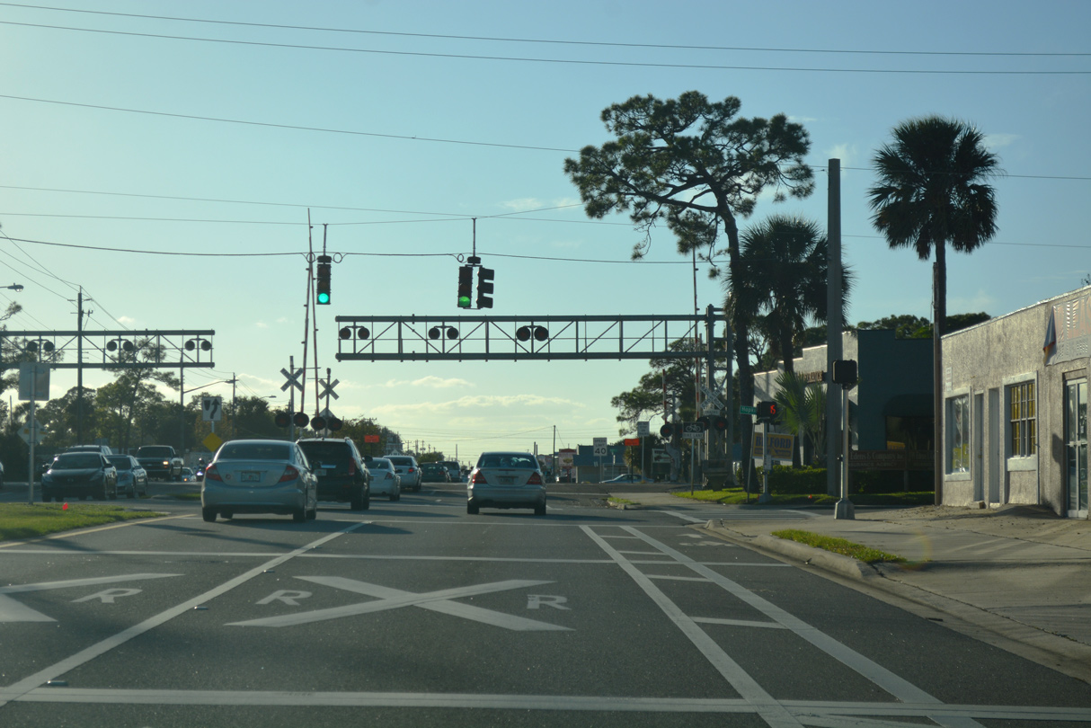
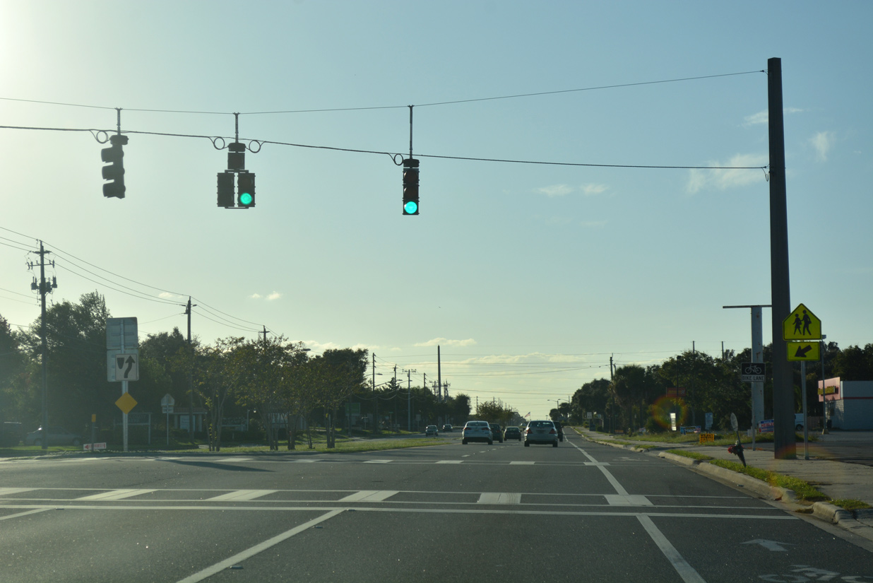
SR 50 proceeds west across the FEC Railway to the traffic light with Alpine Lane north to the Morningside Park neighborhood of Titusville.
10/21/18
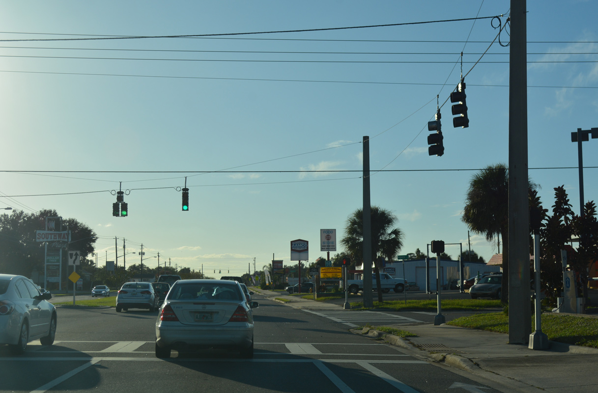
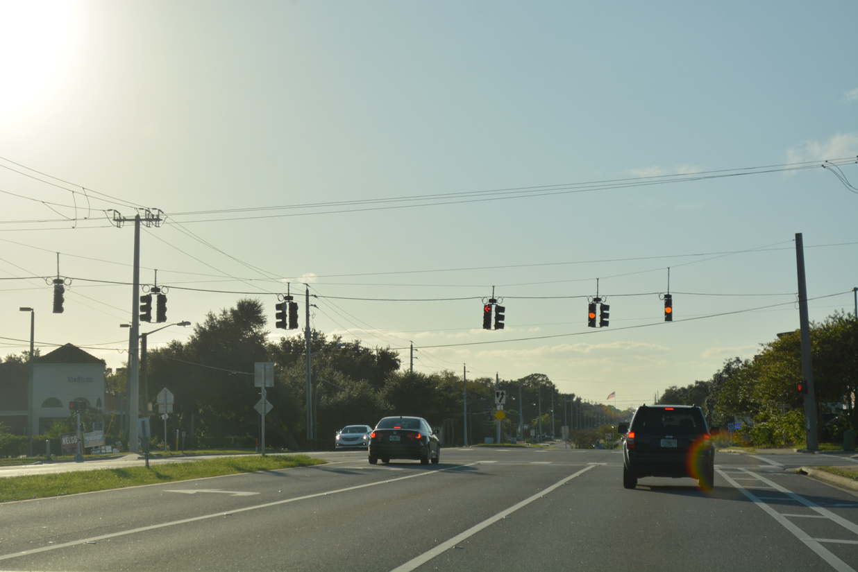
Indian River Plaza anchors a retail strip along SR 50 (Cheney Highway) west at the signal with Key Largo Drive. Key Largo Drive joins the state road with the Imperial Estates community.
10/21/18
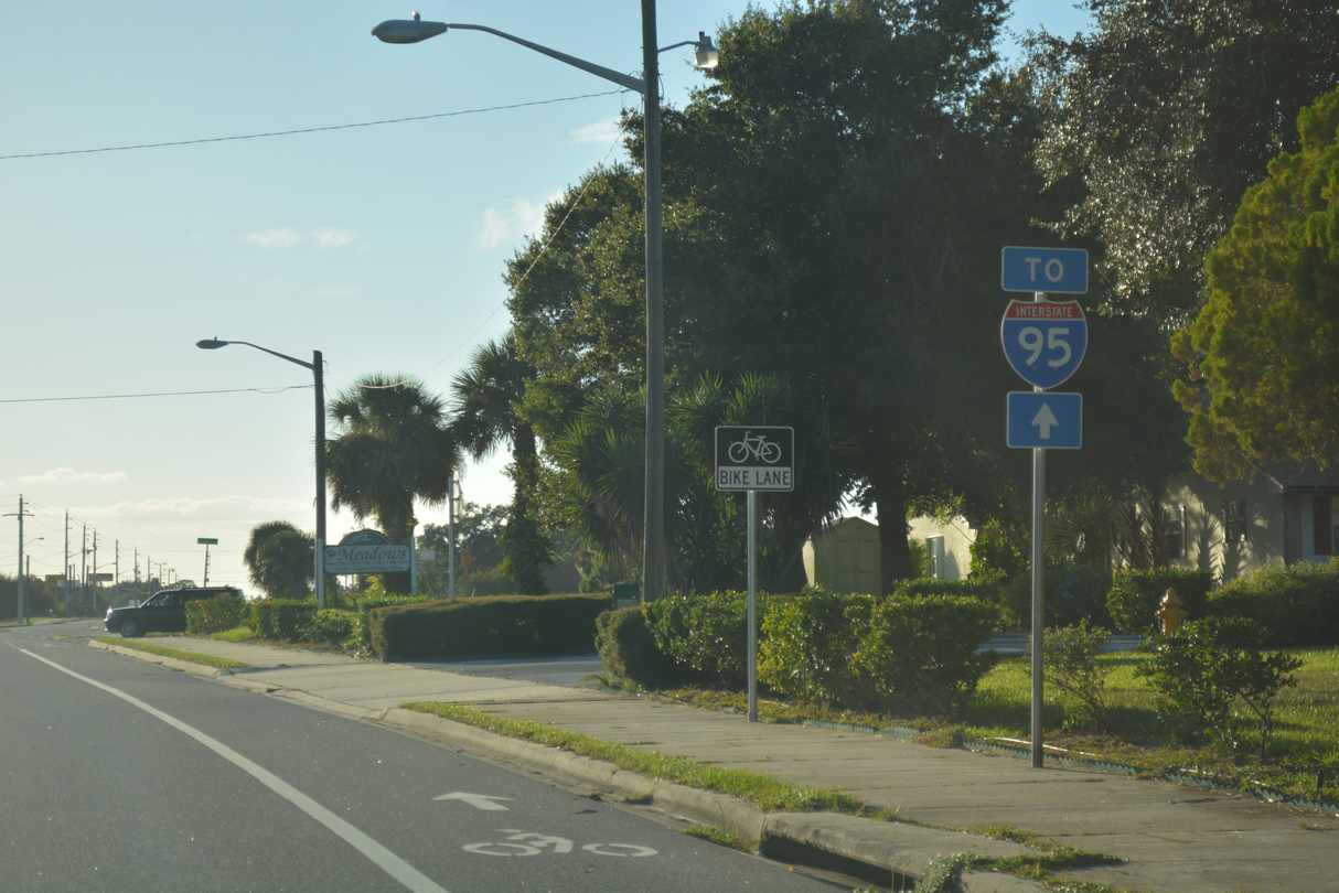
A second trailblazer for I-95 stands along SR 50 westbound by the Meadows community. Cheney Highway kinks southward on this stretch by Blue Hole Park.
10/21/18
Barna Avenue crosses SR 50 at the succeeding traffic light westbound by the Indian River Heights community. One of the main urban collectors through Titusville, Barna Avenue originates at The Hills development south of SR 405 (Columbia Boulevard).
10/21/18
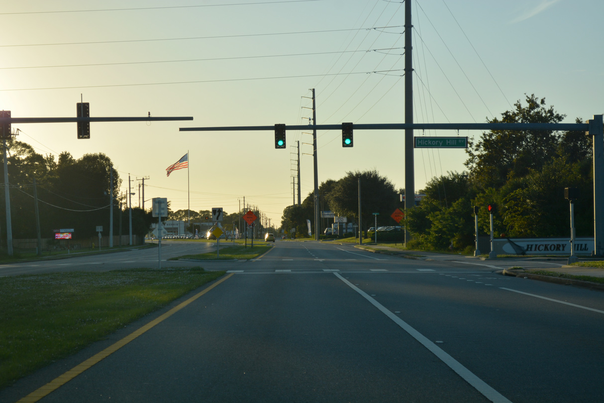
Hickory Hill Boulevard provides the main entrance to Hickory Hills and an array of other subdivisions north from SR 50 (Cheney Highway) and west to SR 405 (South Street).
10/21/18

SR 50 curves southwest to a commercialized junction with SR 405 (South Street / Columbia Boulevard).
10/21/18

SR 405 is a 9.8 mile loop encircling Titusville west from U.S. 1 between Downtown and NASA Causeway to the Kennedy Space Center.
10/21/18
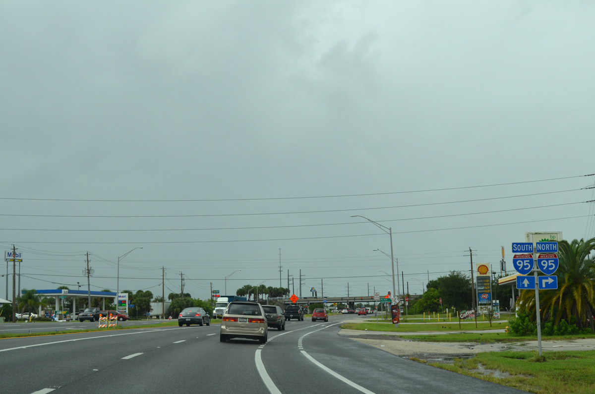
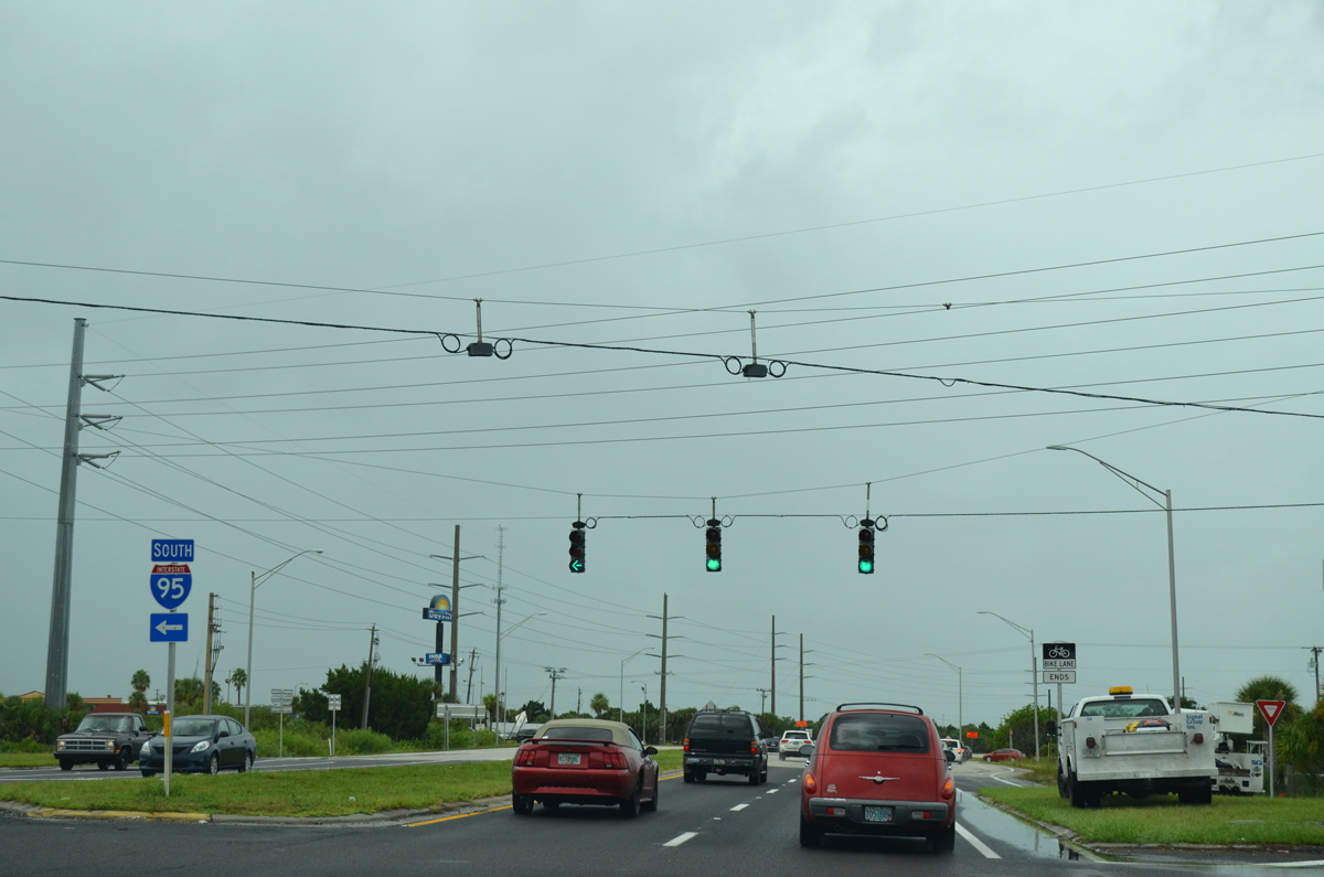
An array of traveler services line SR 50 west leading into the diamond interchange with Interstate 95.
09/28/13
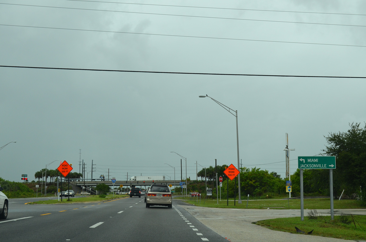
Interstate 95 passes through western reaches of the Titusville city limits on a rural course north to New Smyrna Beach. The freeway shifts in and out of suburban areas from there north to Jacksonville.
09/28/13
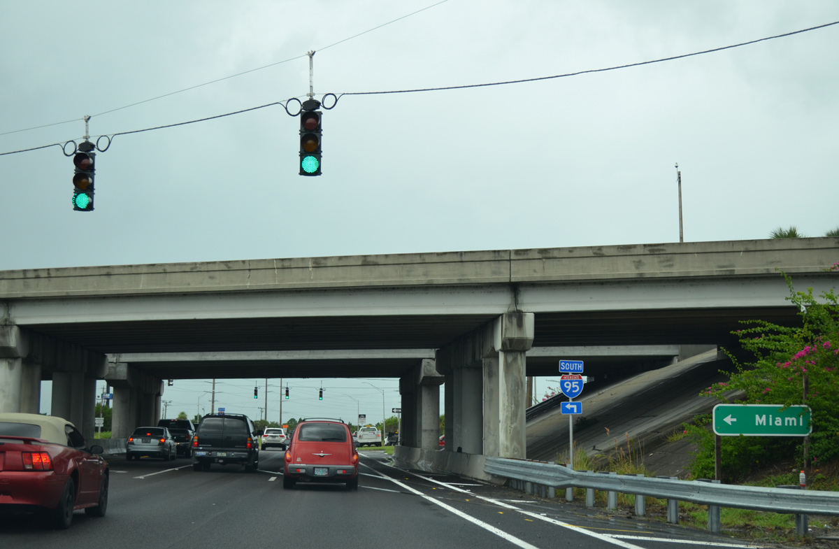
South from SR 50, I-95 runs along the west side of Port St. John, Cocoa, and Rockledge en route to Viera and Melbourne. All 215 miles of Interstate 95 south to Miami is at least six lanes in width.
09/28/13
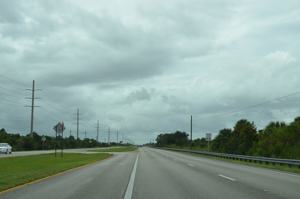
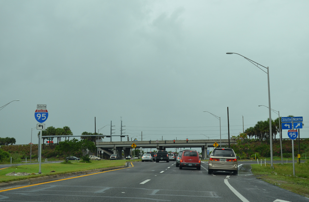
SR 50 immediately transitions into a rural four lane, divided highway west from Interstate 95 as it traverses areas of St. Johns National Wildlife Refuge.
09/28/13
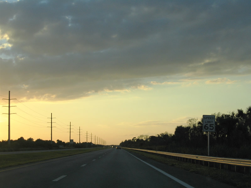
Speed limits increase to 65 miles per hour on the five mile stretch to the Orange County line between St. Johns National Wildlife Refuge and Canaveral Marshes Conservation Area.
11/04/06

Photo Credits:
- Alex Nitzman: 10/21/18
- ABRoads: 09/28/13
- Alex Nitzman, Justin Cozart: 11/04/06
Connect with:
Page Updated Monday October 22, 2018.