
State Road 405 - Columbia Blvd / South St

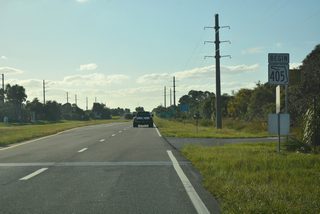
State Road 405 forms a belt route looping 9.83 miles west from U.S. 1 around the city of Titusville. The state road stems west from U.S. 1 outside Downtown along South Street through the residential street grid. Beyond Rock Pit Road, SR 405 reduces to two lanes and arcs southwest along a mostly rural stretch to Fox Lake Road. A handful of subdivisions, including Forest Hills Estates and Fox Lake Manor crop up along the route.
Heading south along the Titusville city line, SR 405 (South Street) parallels I-95 one quarter mile to the east. The state road expands into a divided arterial ahead of the commercialized intersection with SR 50 (Cheney Highway). Angling southeast, SR 405 follows Columbia Boulevard for 4.41 miles back to U.S. 1.
NASA Parkway (unsigned County Road 405) extends 3.469 miles east from the cloverleaf interchange joining U.S. 1 and SR 405 to the east banks of the Indian River. The easternmost 2.22 miles of NASA Causeway, from the Indian River to SR 321 (Space Commerce Way), was added to the Florida State Road system on July 24, 2025.
Florida State Road 405 Guides
A $128 million project started in late 2021 replaced the twin bascule bridges taking NASA Parkway across the Indian River. The new 4,025 foot long fixed high-level bridges rise to a height of 65 feet, accommodate larger vehicles bound for Kennedy Space Center (KSC). The replacement for the 1964 bridge eastbound opened to traffic in Jun 2025. The new westbound crossing was completed in March 2025 (FDOT, 2025).
Historically State Road 405 turned east from South Street along Brittany Way and S Park Avenue in Titusville. The route followed Park Avenue north to Whispering Hills Golf Estates and the west side of the Titusville street grid at South Street. SR 405 then combined with SR 406, which previously followed Main Street east to U.S. 1 (Washington Avenue) in Downtown Titusville, one block west on Main Street from South Street, and three blocks north on Dixie Avenue to Garden Street.
SR 406 turned west on Garden Street to Interstate 95 while SR 405 continued along Dixie Avenue northwest to Lagrange Road outside Titusville. The remainder of SR 405 followed what is now unsigned CR 405 from Lagrange Road along a combination of Old Dixie Highway north, Parker Street west and Singleton Avenue north to SR 46 (W Main Street) in Mims.
 scenes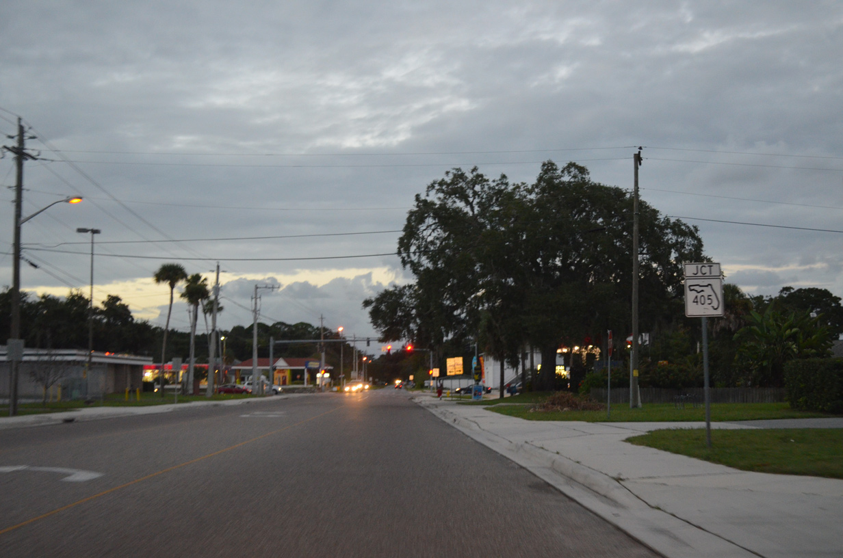
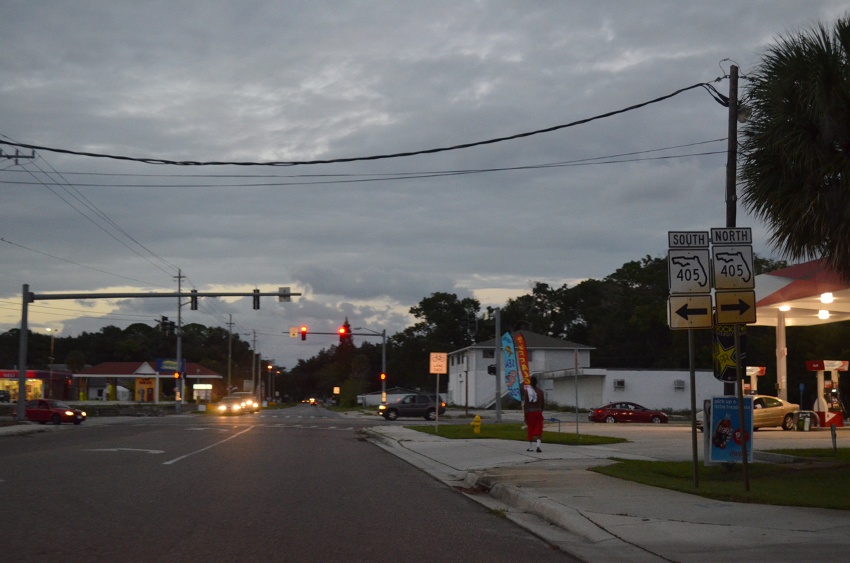
Palm Avenue north at SR 405 (South Street) to the west of Downtown Titusville.
09/28/13
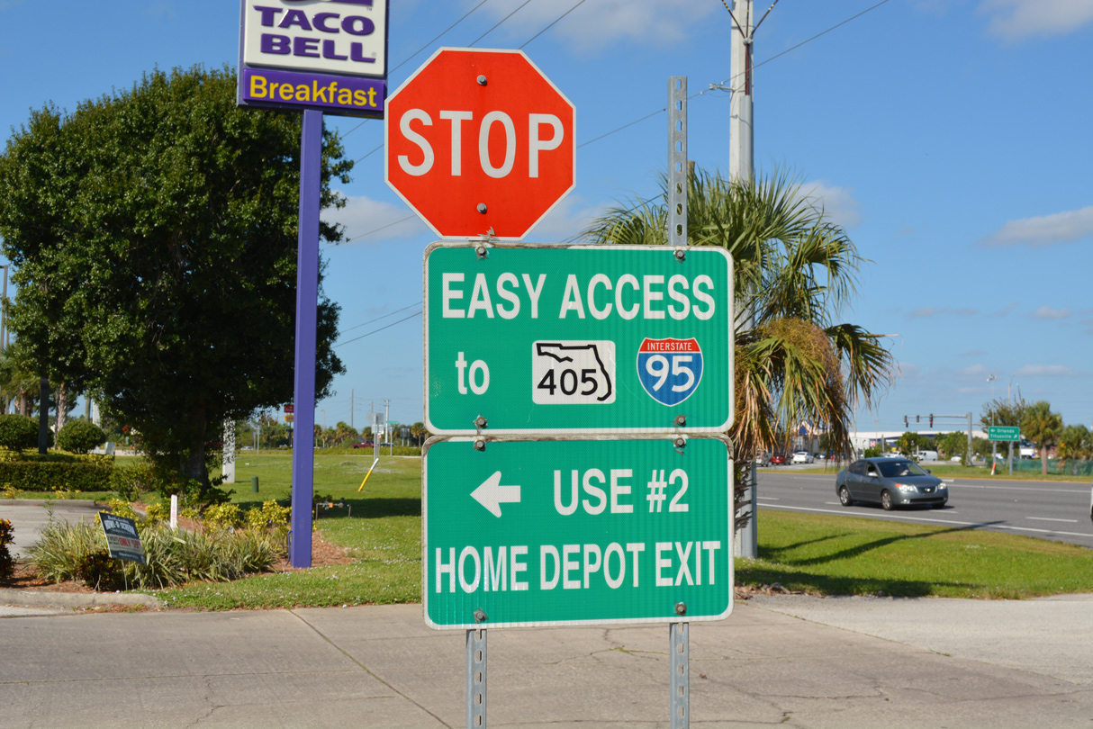
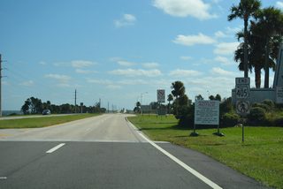
SR 405 sign at the retail complex on the southwest corner of SR 405 (Columbia Boulevard) and Windover Trail.
10/21/18
References:
Florida Department of Transportation (FDOT). (2025, May 28). 440424-1 NASA Causeway Bridge. FDOT. https://www.cflroads.com/project/440424-1
Photo Credits:
- ABRoads: 09/28/13
- Alex Nitzman: 10/21/18
Connect with:


Page Updated Monday January 26, 2026.