
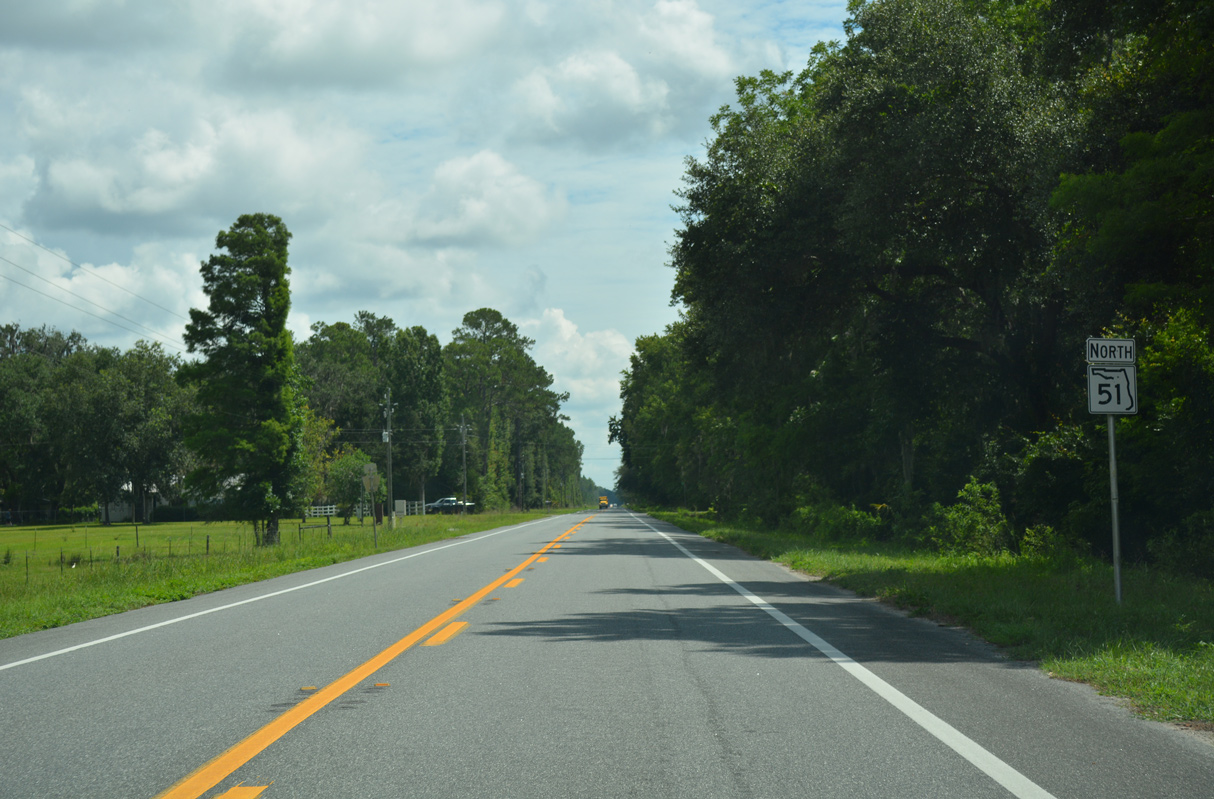
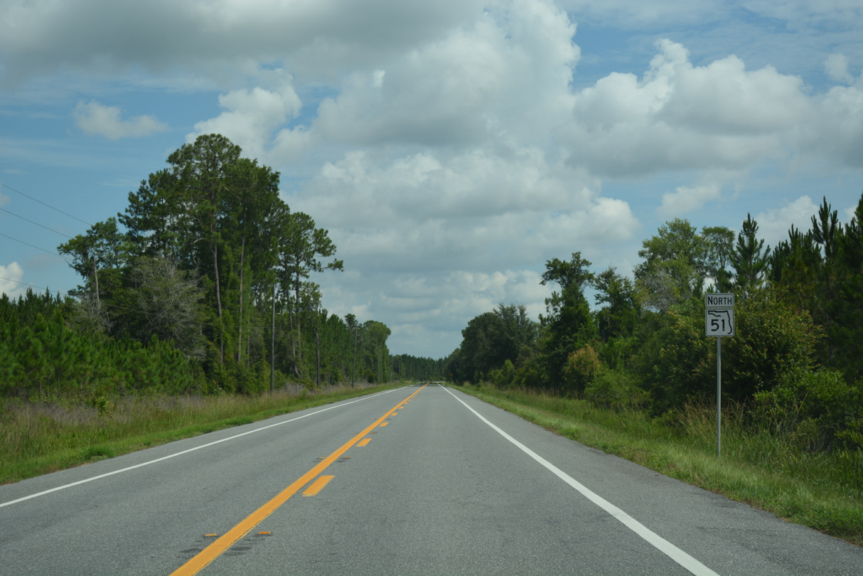
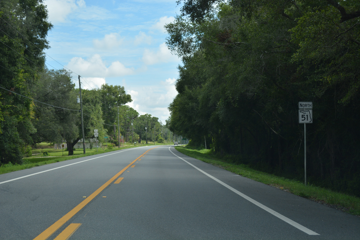
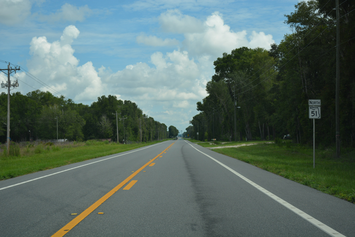
State Road 51 North
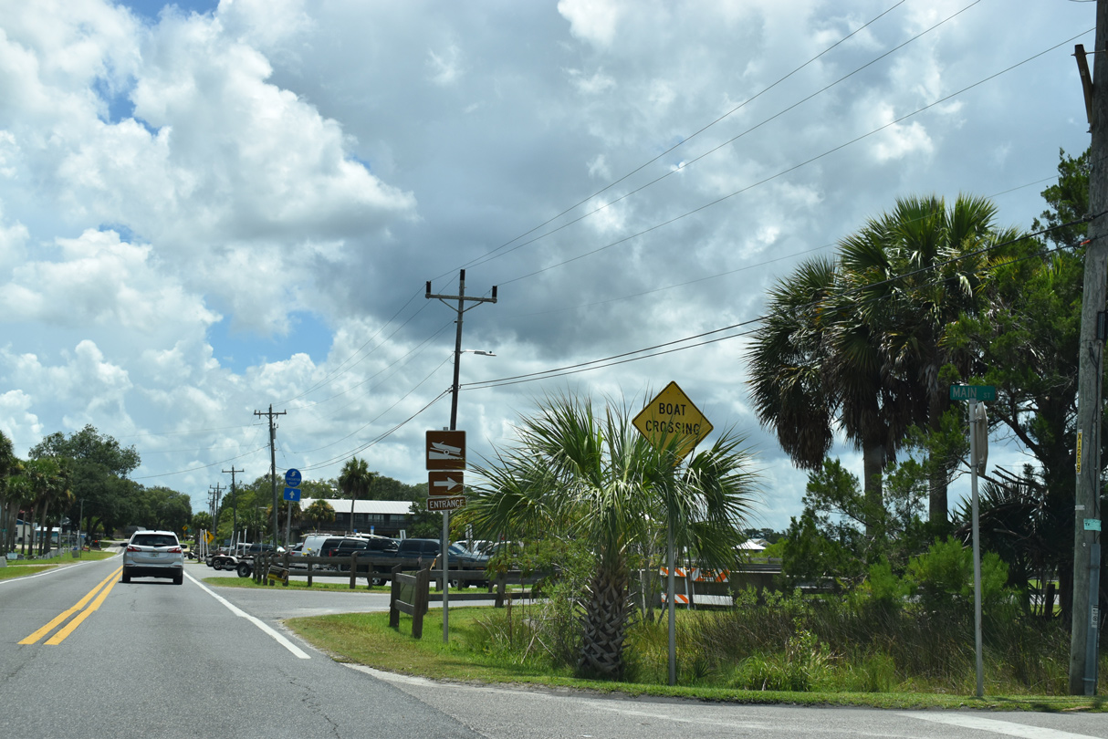
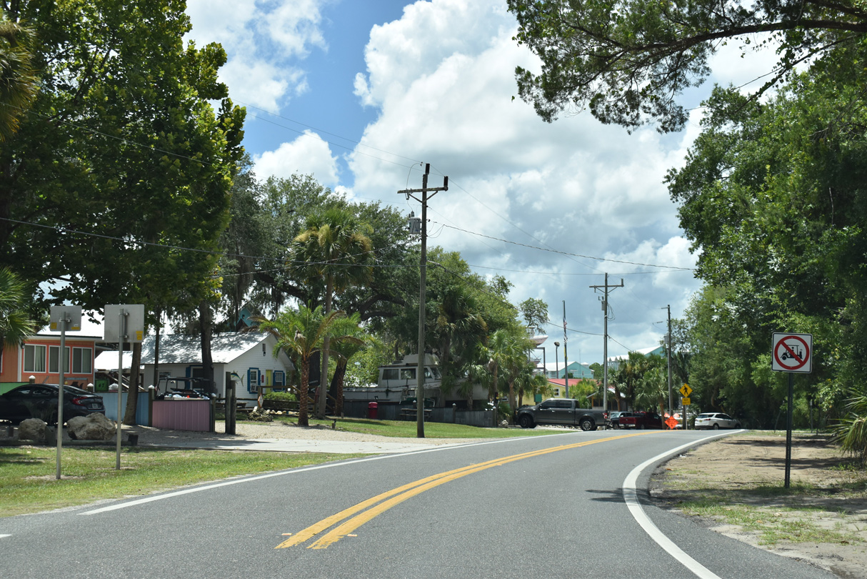
CR 361 becomes CR 51 east along 1st Avenue S at 1st Street W in Steinhatchee. Main Street spurs south from the ensuing intersection.
07/22/20
07/22/20
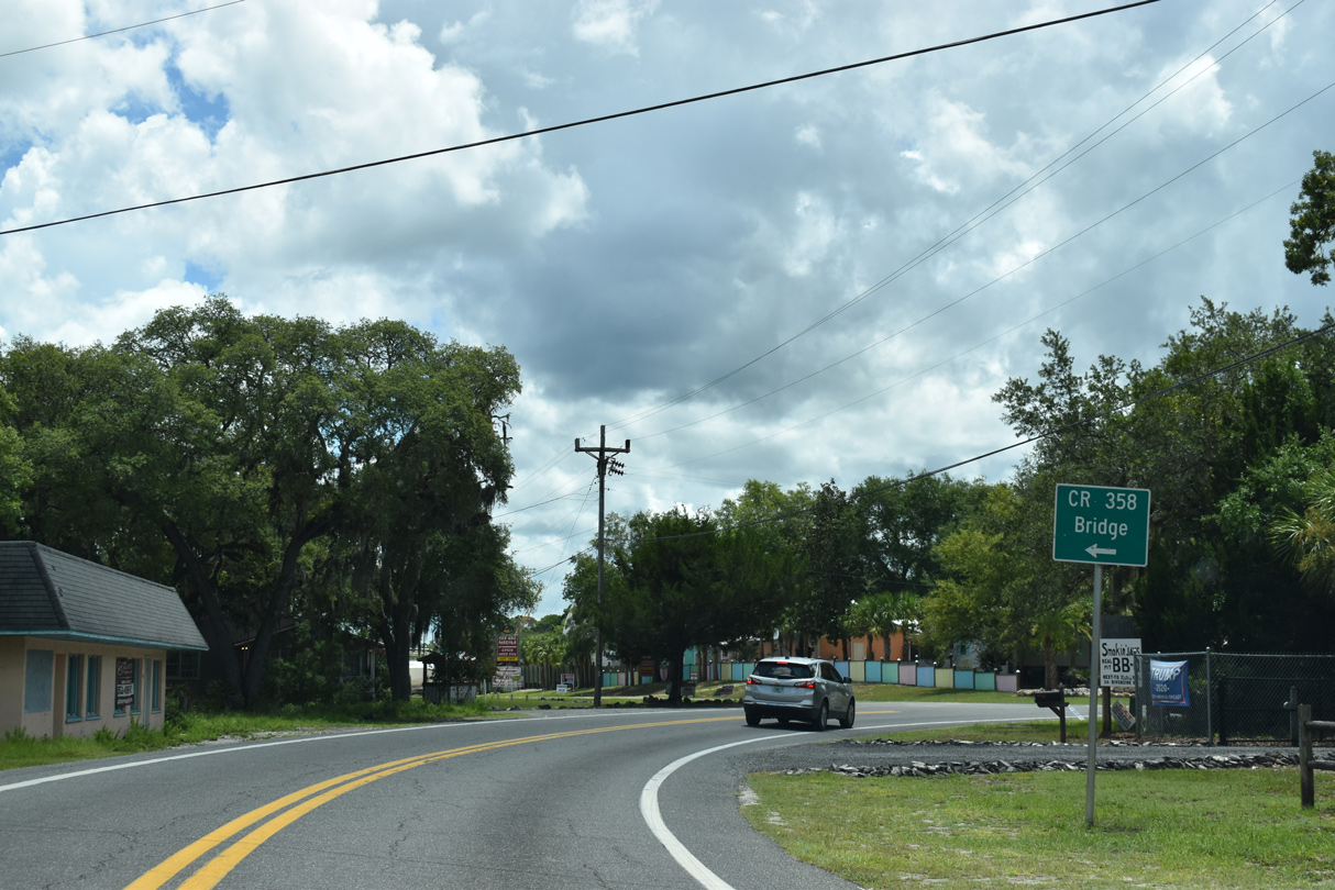
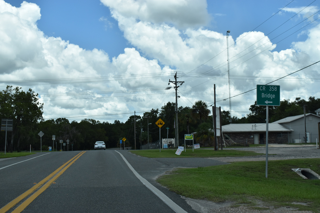
1st Avenue S leads CR 51 east 0.35 miles to SR 51 (Riverside Drive) at 1st Avenue S to the CR 358 Bridge to Jena via 10th Street E.
07/22/20
07/22/20
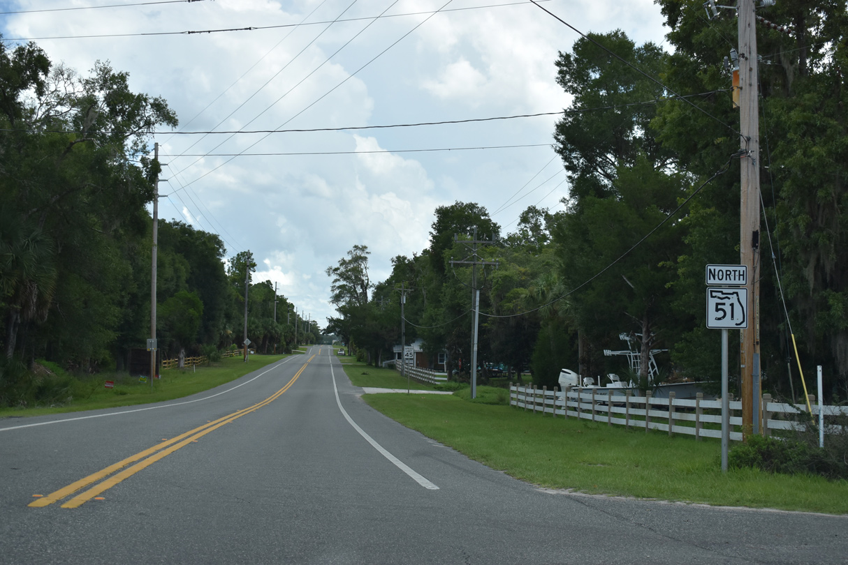
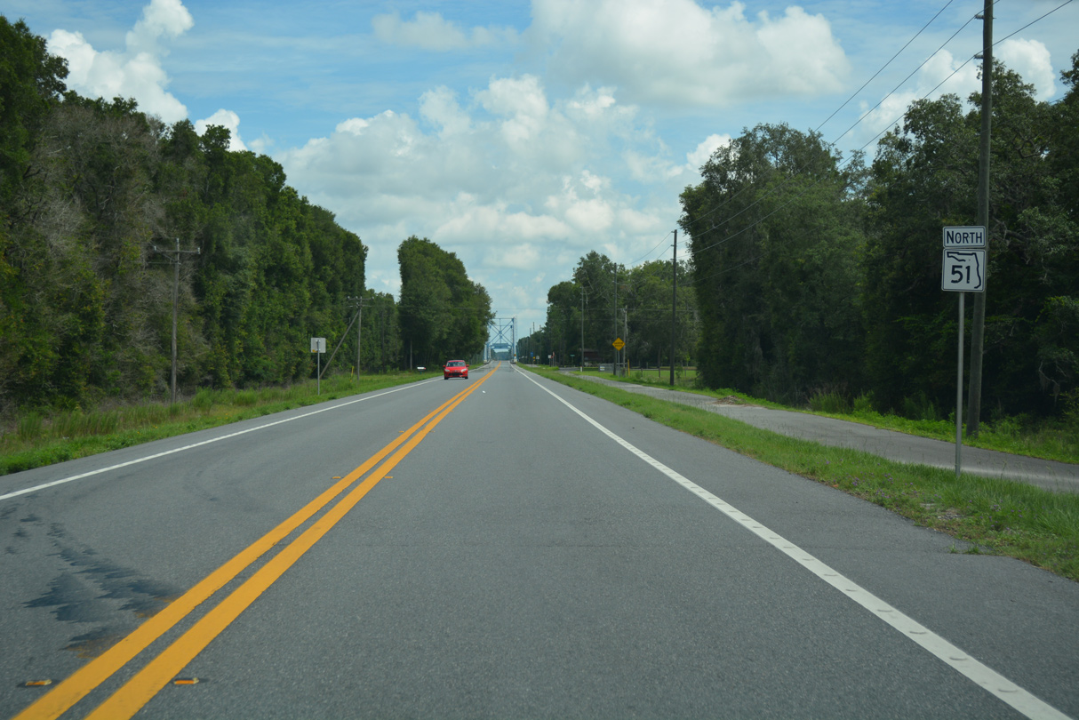
The northbound beginning of SR 51 is unmarked along Riverside Drive.
07/22/20
07/22/20
 North
North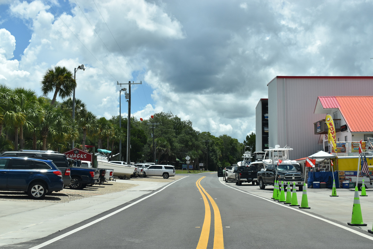
Just south of 1st Avenue S, Riverside Drive narrows between parking areas of adjacent Sea Hag Marina along the Steinhatchee River.
07/22/20
07/22/20
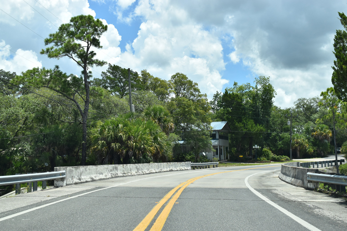
Riverside Drive continues east along the Steinhatchee River to a 1984 bridge crossing Little Tide Creek.
07/22/20
07/22/20
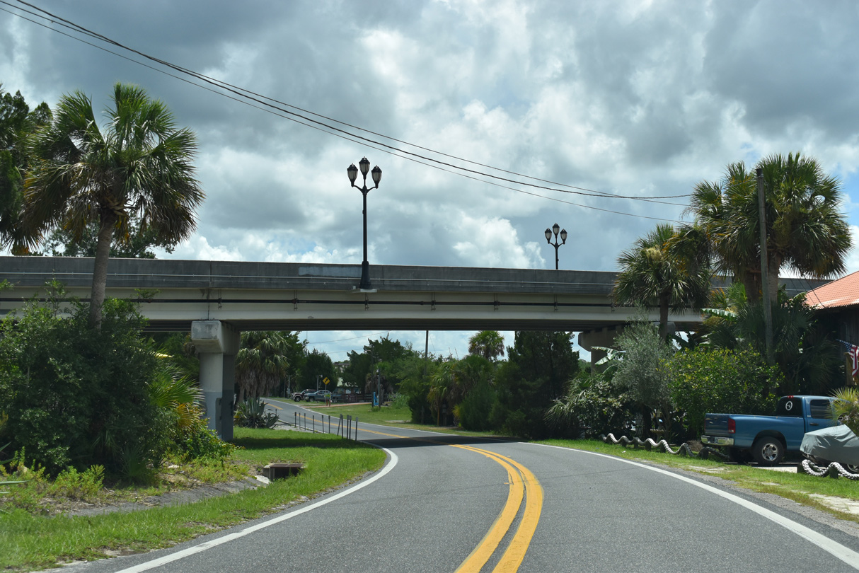
CR 358 (10th Street E) spans SR 51 and the adjacent Steinhatchee River south to Jena in Dixie County.
07/22/20
07/22/20
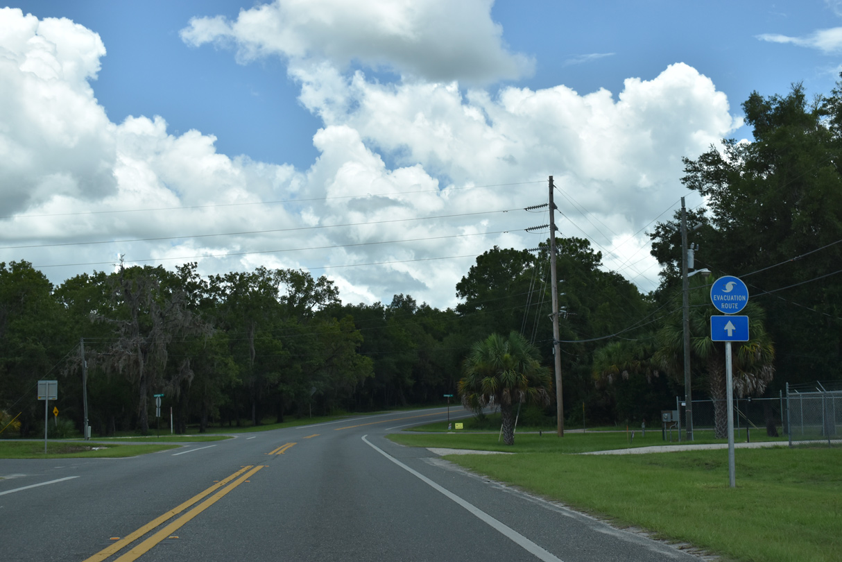
SR 51 curves northward onto 15th Street E to 1st Avenue S west back to the CR 358 bridge to Jena.
07/22/20
07/22/20
07/22/20
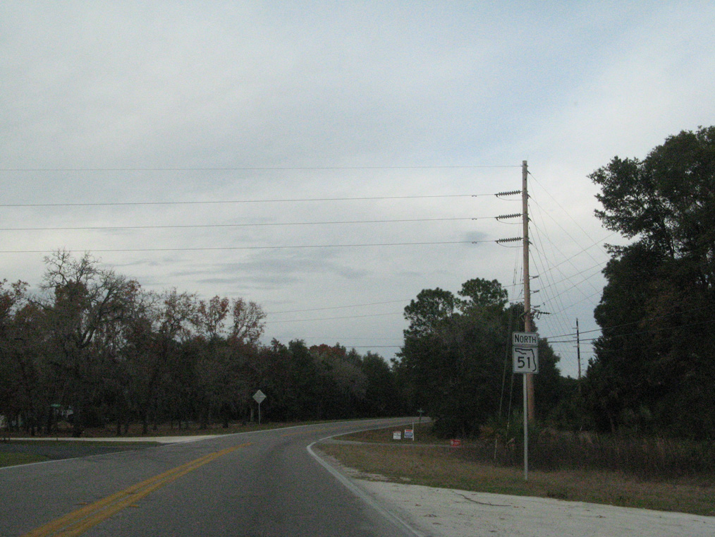
Removed by 2011, the first reassurance marker for SR 51 was posted along 15th Street E north of 1st Avenue S.
12/31/06
12/31/06
SR 51 angles northeast along Steinhatchee Drive from 1st Avenue N/NE.
07/22/20
07/22/20
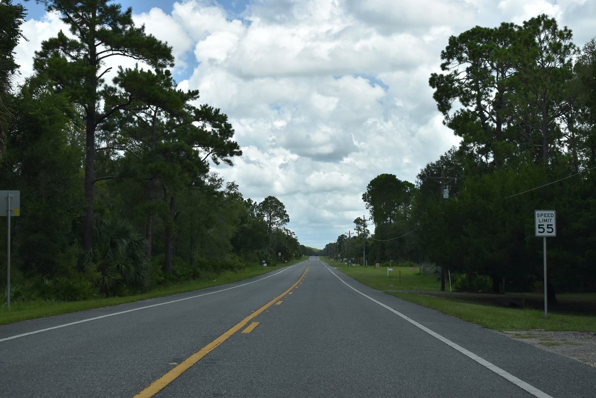
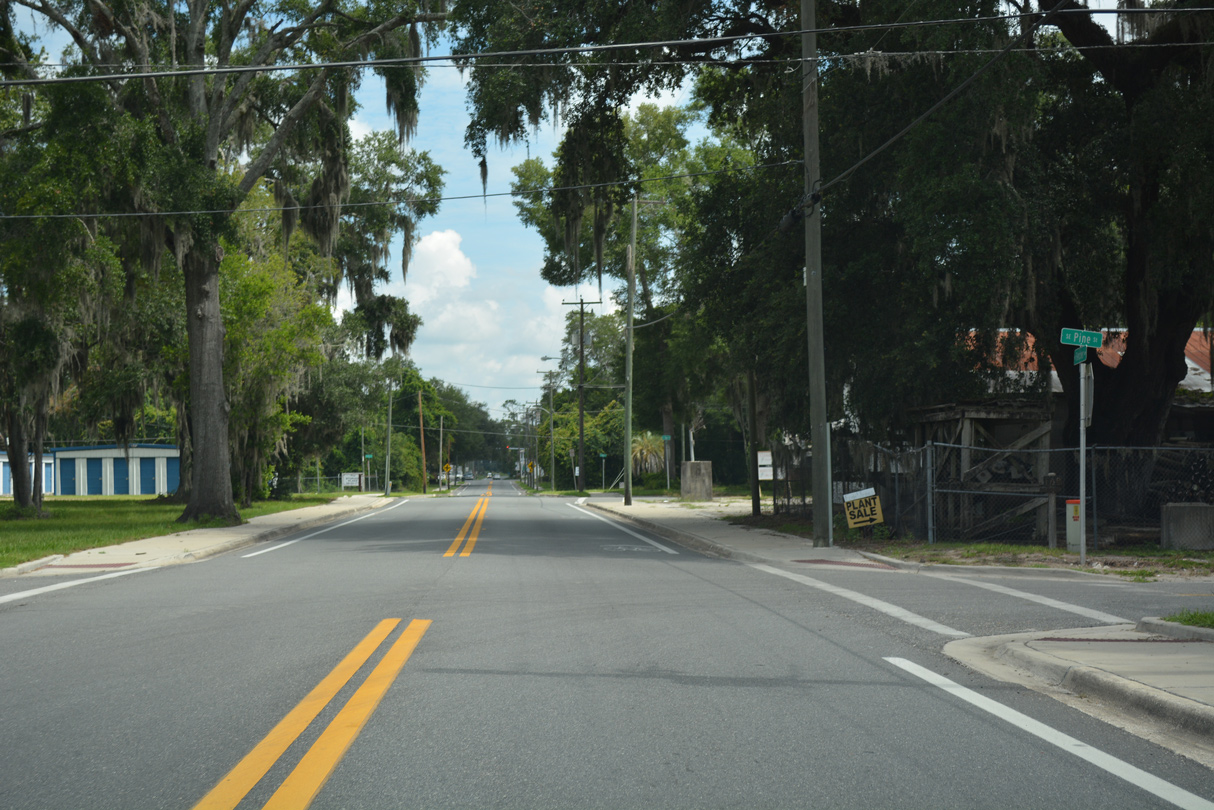
The speed limit increases to 60 miles per hour north of Pine Avenue in Steinhatchee.
07/22/20
07/22/20
07/22/20
07/22/20
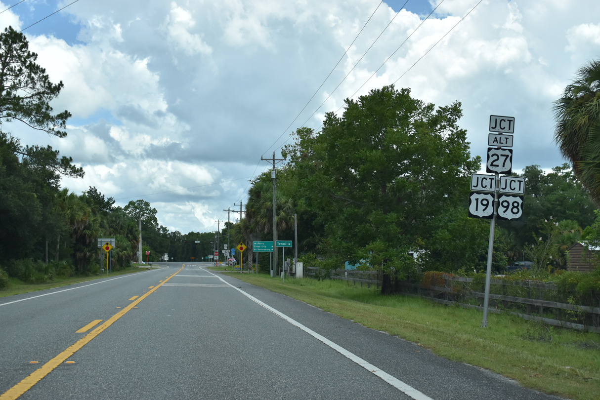
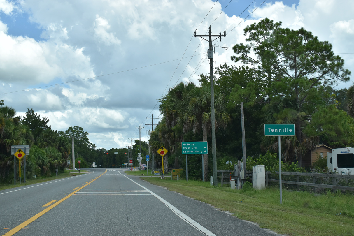
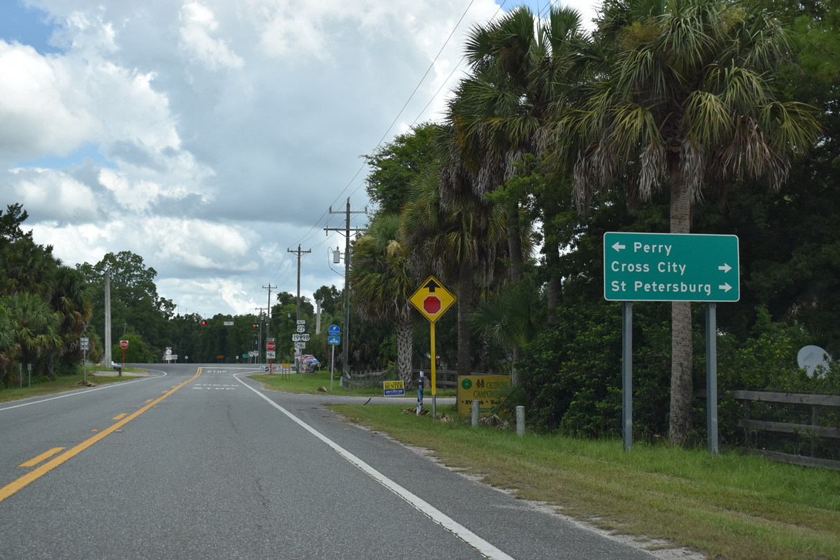
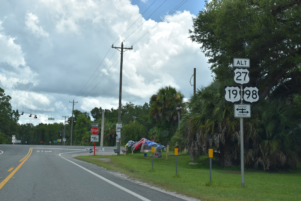
SR 51 crosses U.S. 19-98-27 ALT at the community of Tennille.
07/22/20
07/22/20
07/22/20
07/22/20
07/22/20
07/22/20
07/22/20
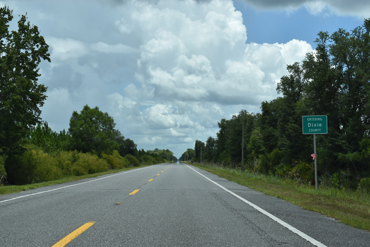
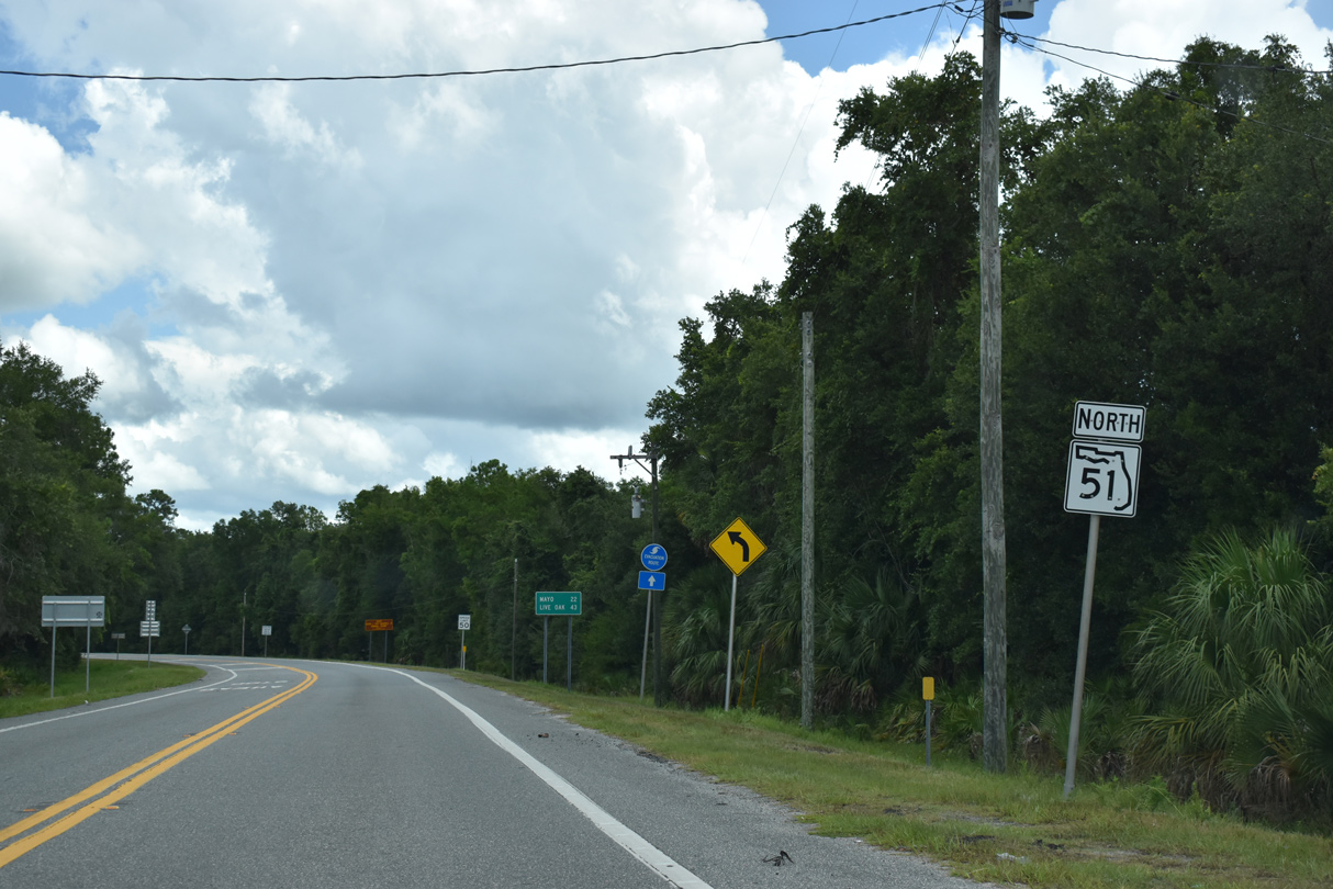
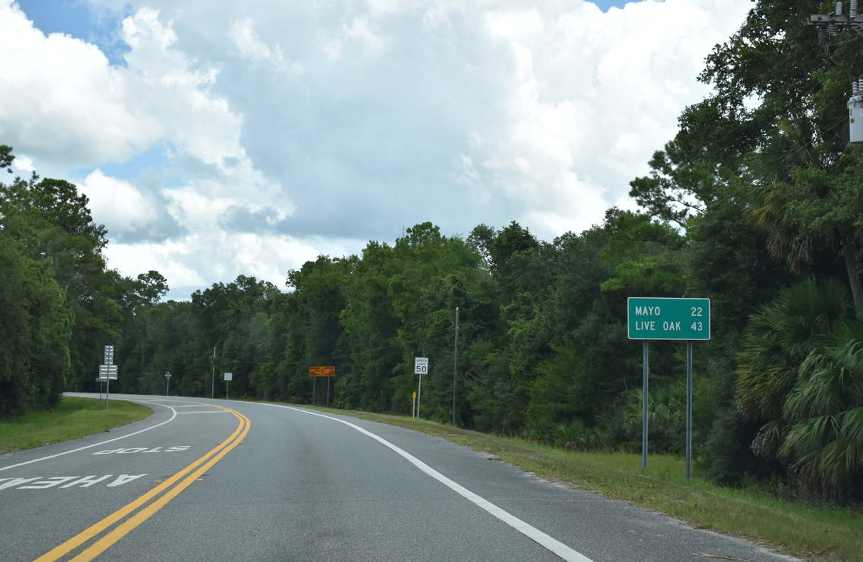
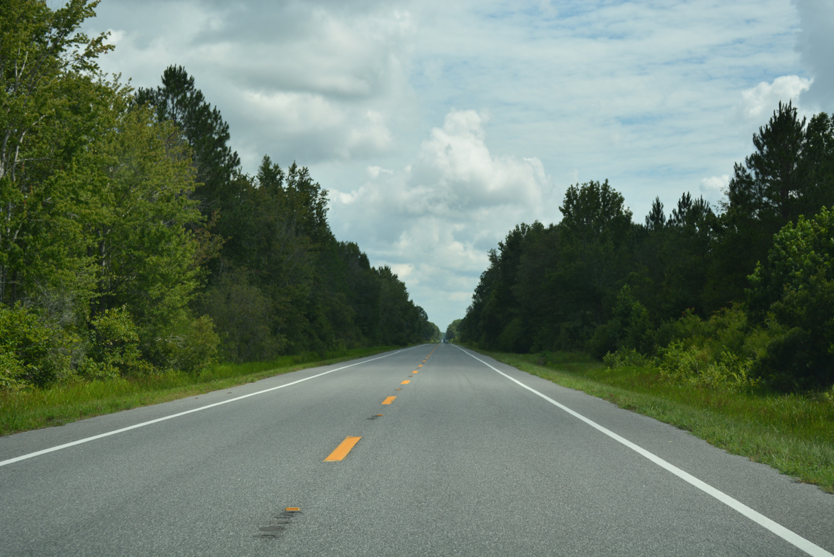
SR 51 crosses into Dixie County 11.50 miles north.
07/22/20
07/22/20
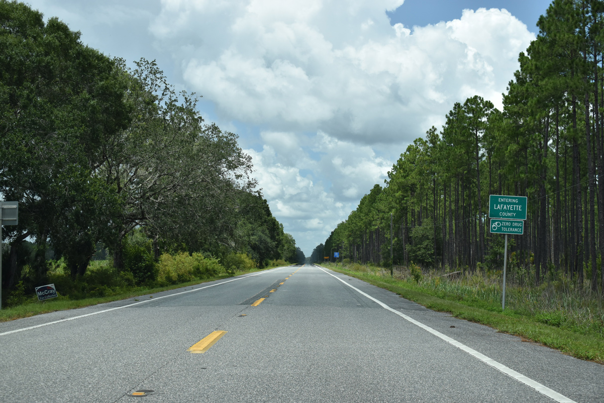
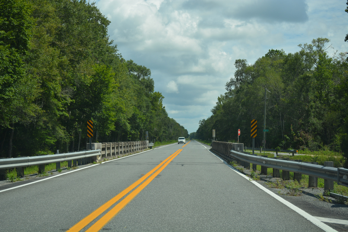
SR 51 crosses into southwestern Lafayette County just west of the Suwannee River.
07/22/20
07/22/20
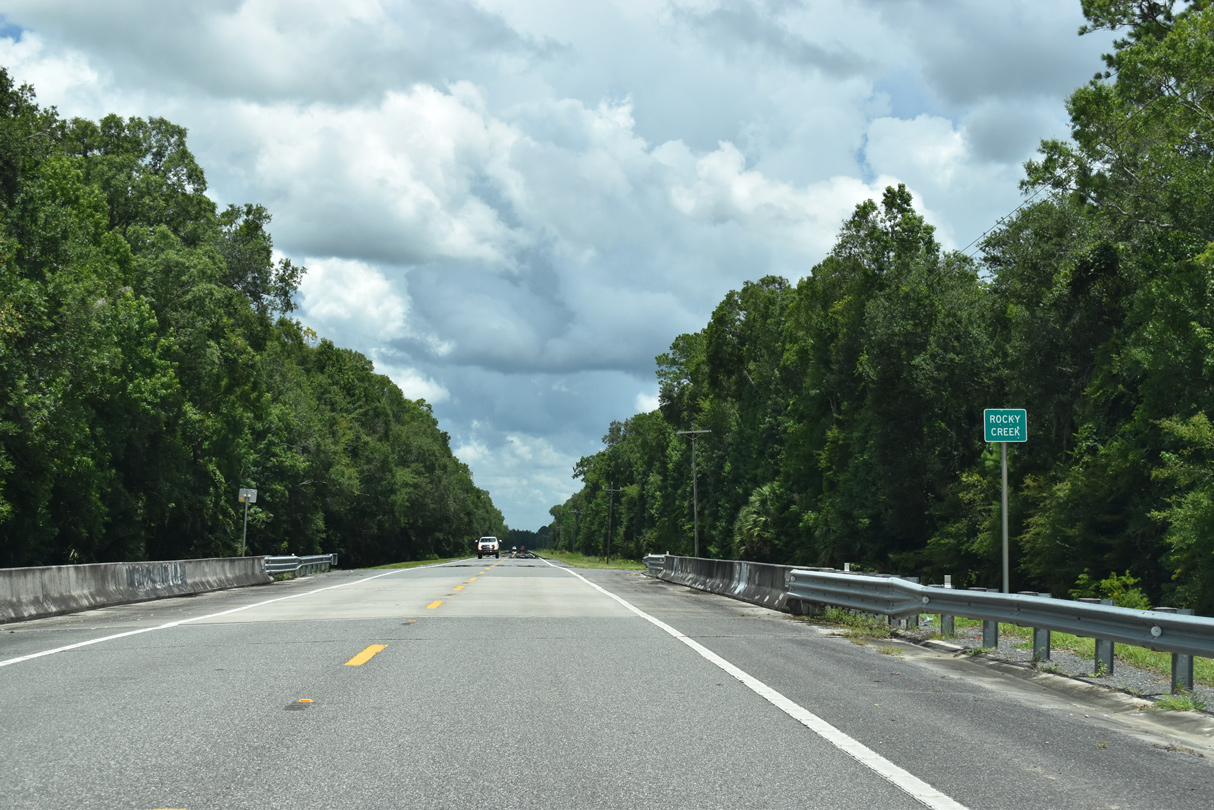
SR 51 crosses Kettle Branch on a vintage bridge just ahead of SE Wolf Road to Steinhatchee Spring.
06/30/17
06/30/17
06/30/17
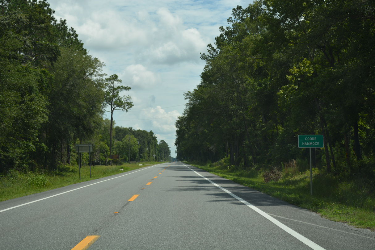
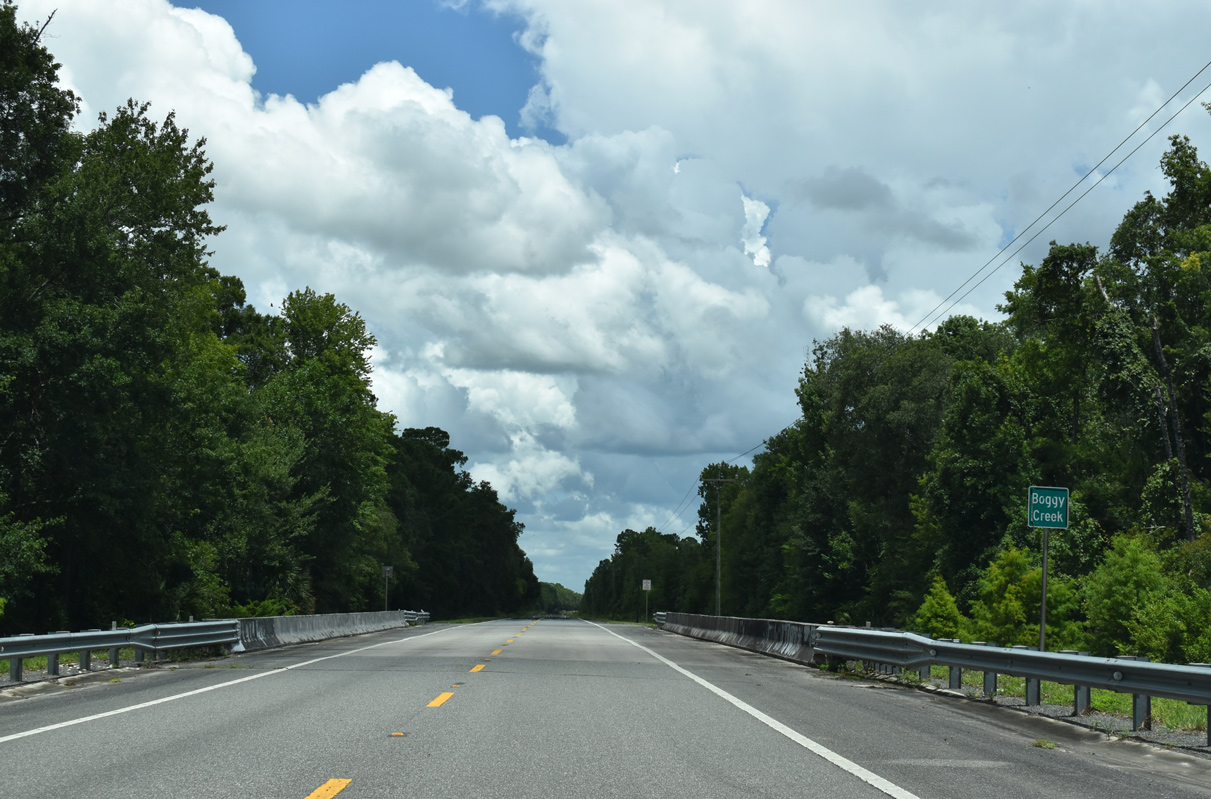
SR 51 north leaves Upper Steinhatchee Conservation Area at Cooks Hammock.
06/30/17
06/30/17
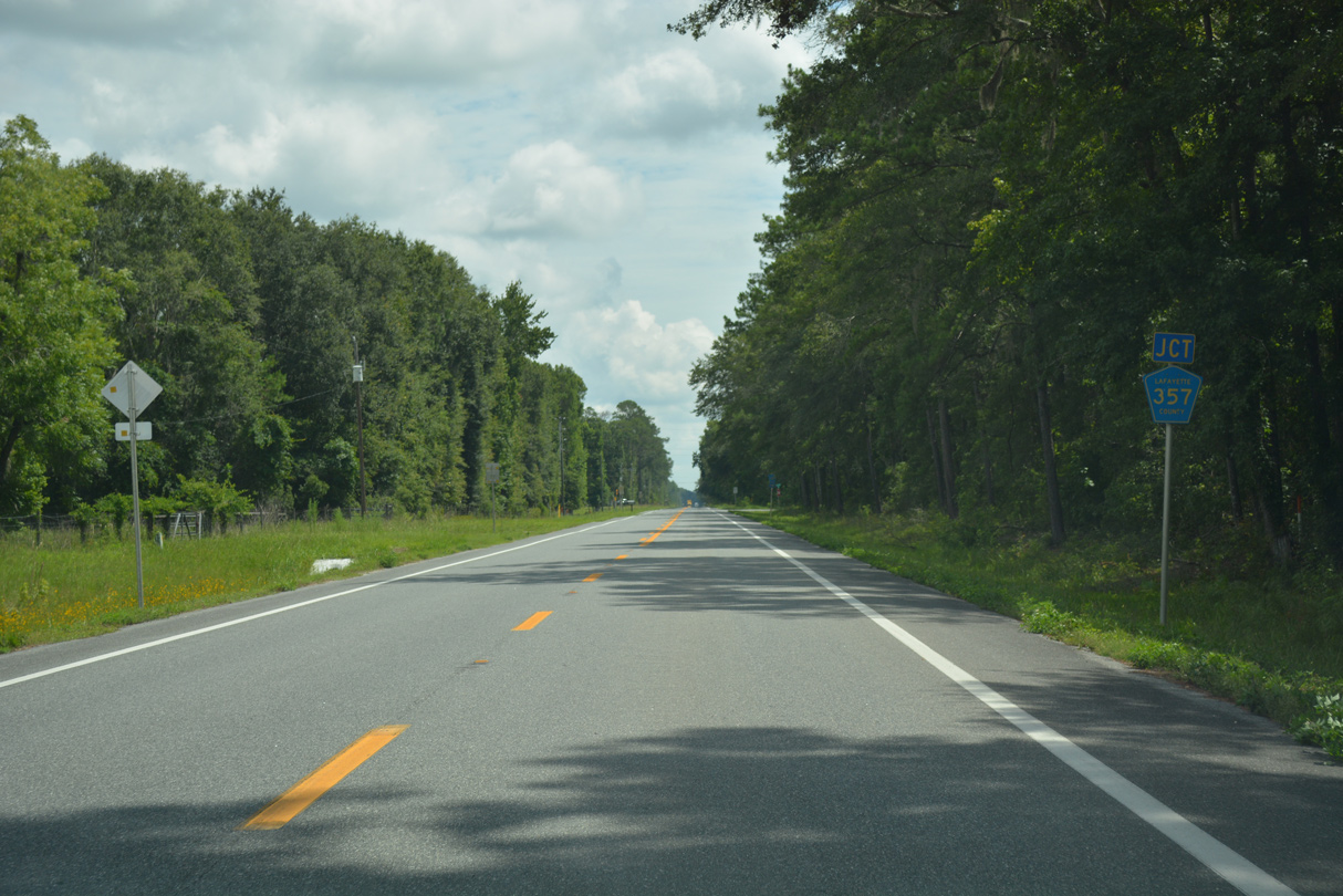
The north end of CR 357 ties into SR 51 at Cooks Hammock.
06/30/17
06/30/17
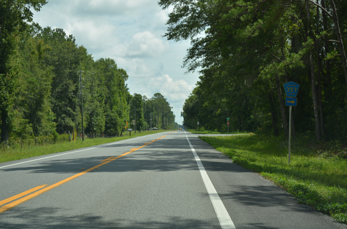
CR 357 ventures 17.01 miles south to CR 358 in remote areas of Dixie County.
06/30/17
06/30/17
06/30/17
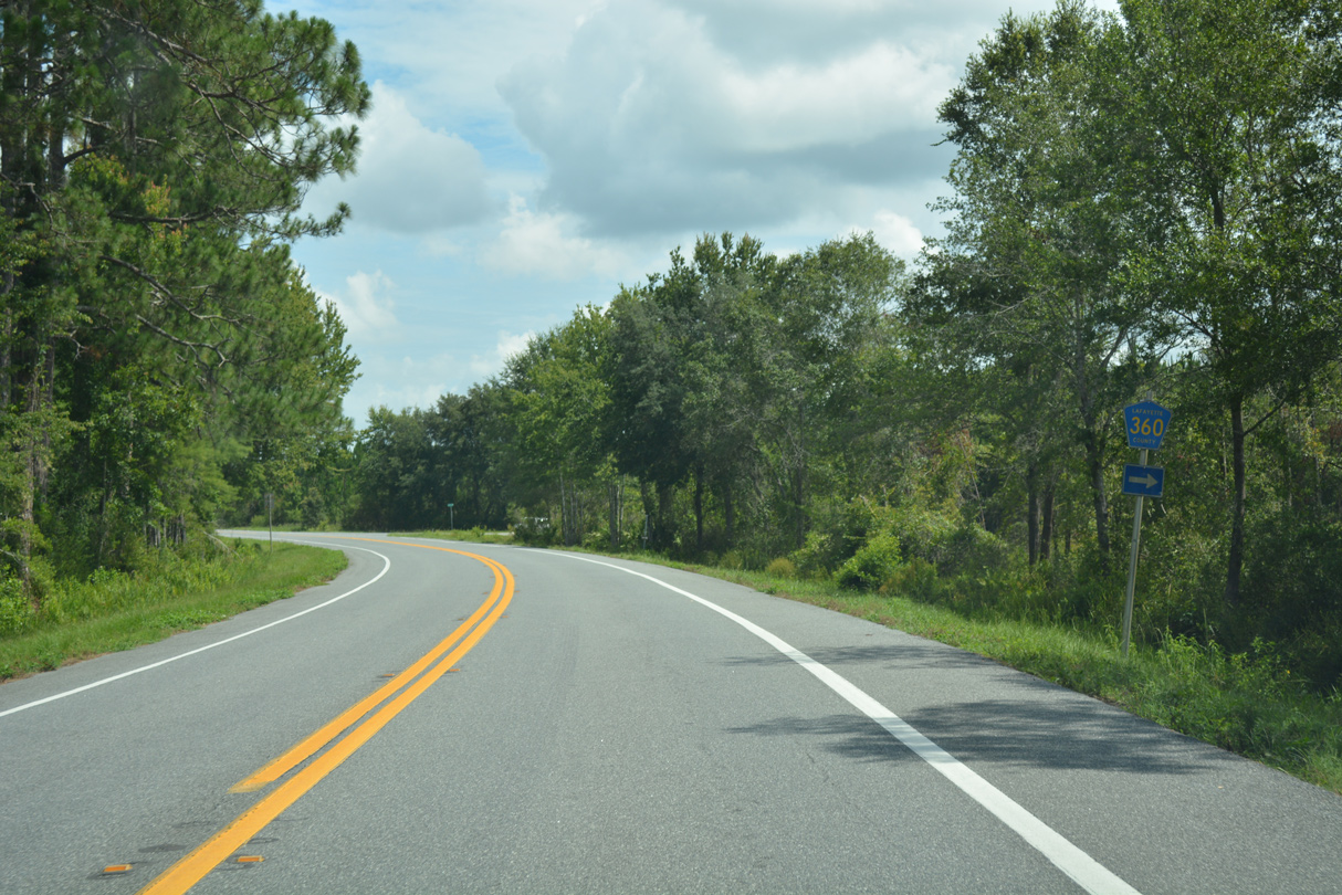
CR 360 heads east 2.69 miles from SR 51 to CR 355.
06/30/17
06/30/17
06/30/17
SR 51 leads north into the town of Mayo along Fletcher Avenue. Unmarked as CR 355, Pine Street represents the northern extent of a 9.71 mile route southeast to CR 405.
06/30/17
06/30/17
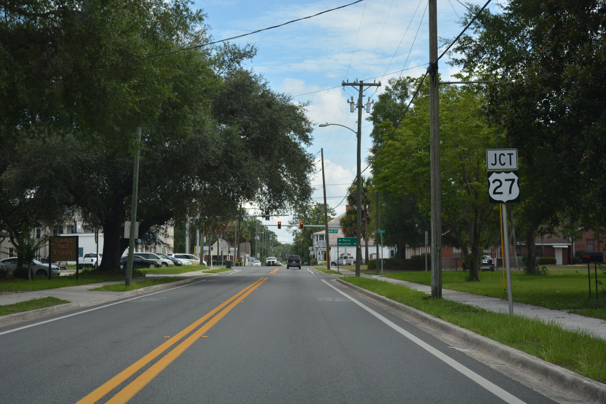
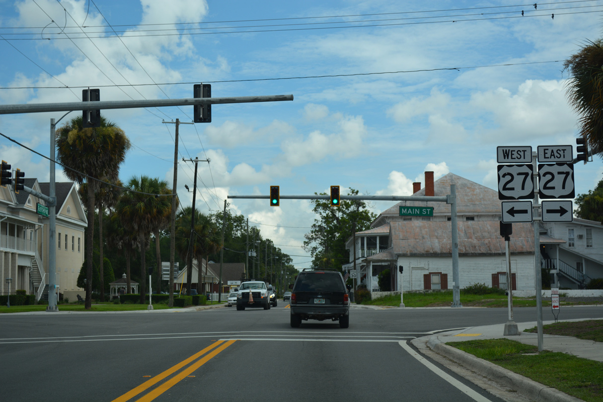
Entering the Mayo business district, SR 51 intersects U.S. 27 (Main Street).
06/30/17
06/30/17
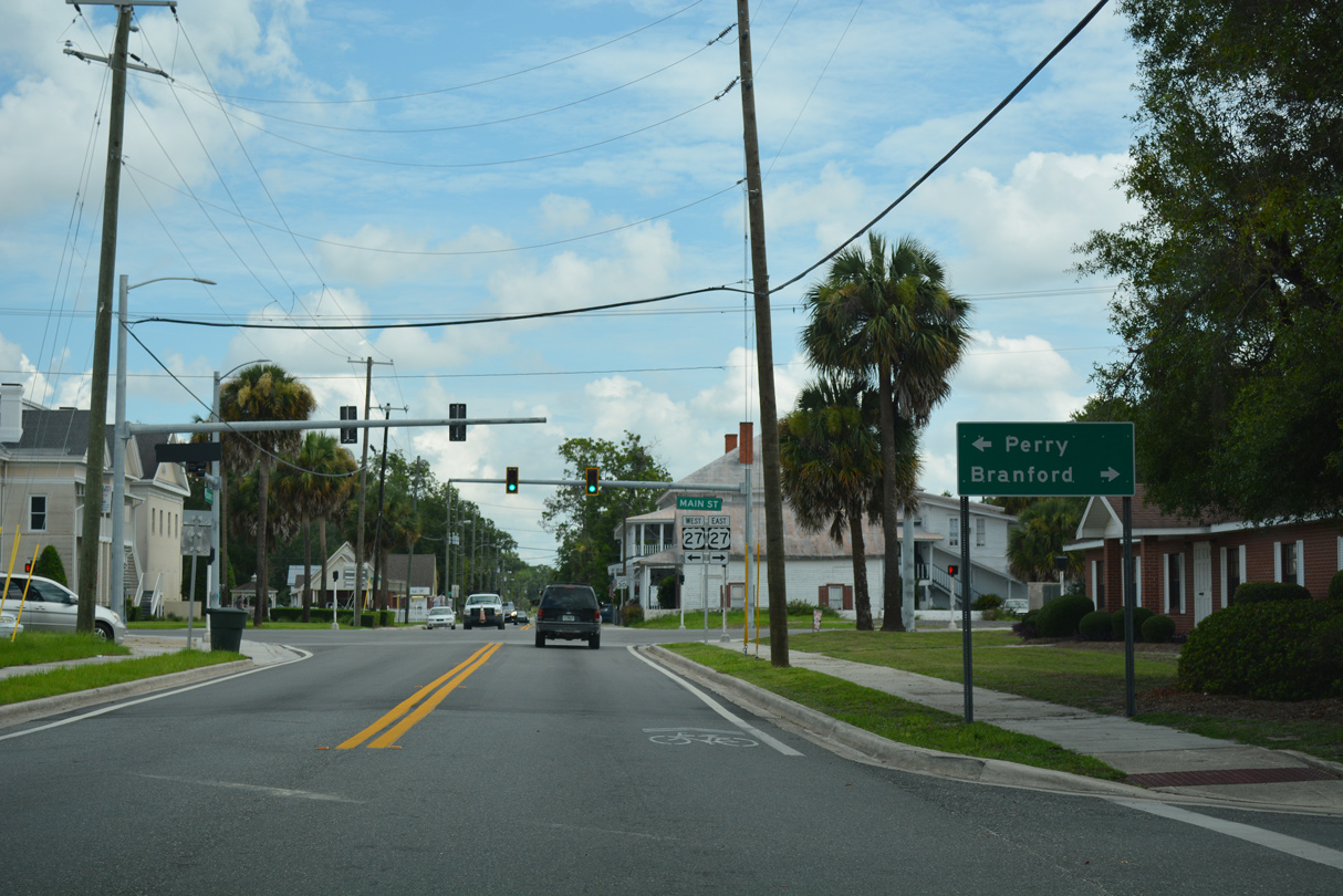
A two lane highway, U.S. 27 joins Mayo with Perry and Branford.
06/30/17
06/30/17
06/30/17
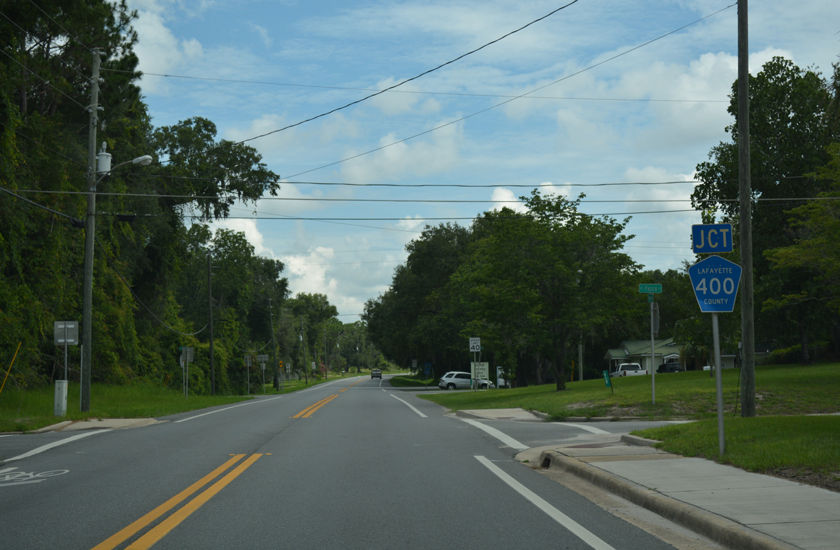
County Road 400 branches northeast from SR 51 along the northern Mayo town line.
06/30/17
06/30/17
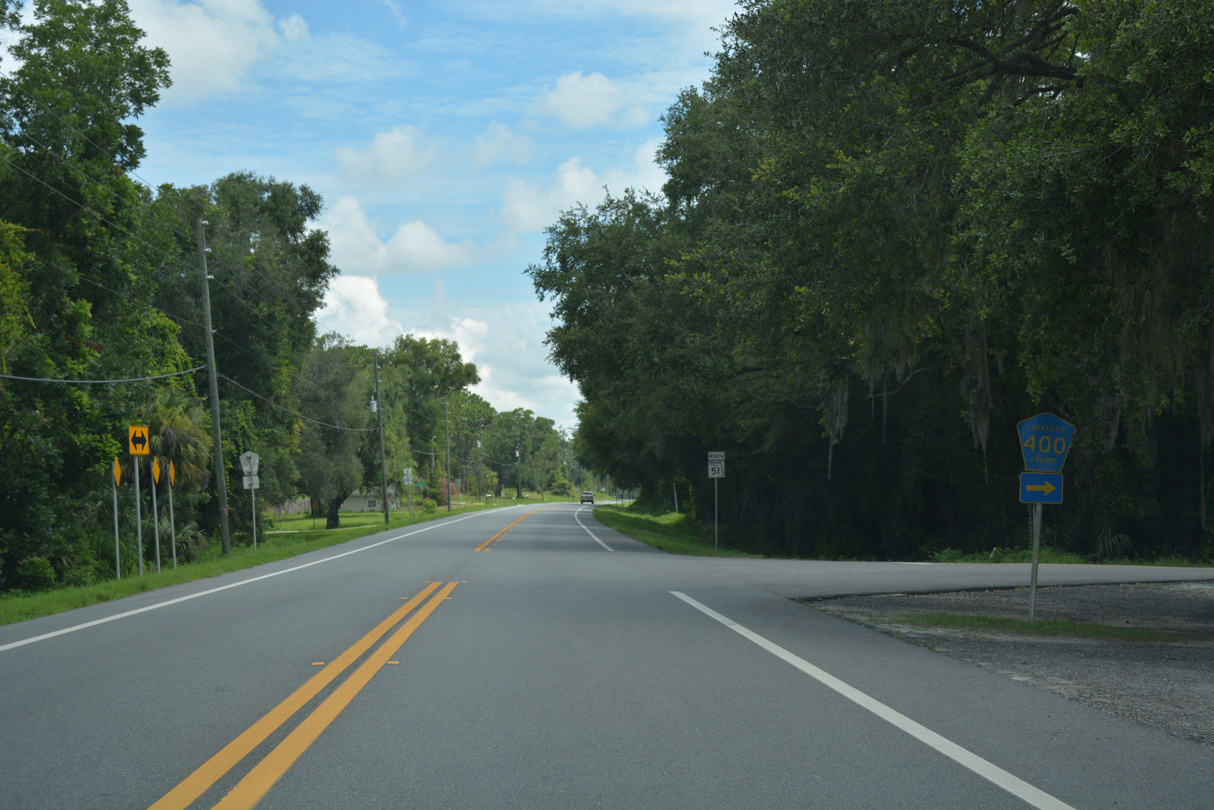
Although not included in FDOT GIS data, CR 400 comprises a 2.4 mile loop east to Koon Dairy Road and south to U.S. 27.
06/30/17
06/30/17
06/30/17
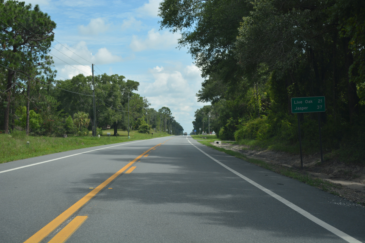
The north end of SR 51 is 37 miles from Mayo.
06/30/17
06/30/17
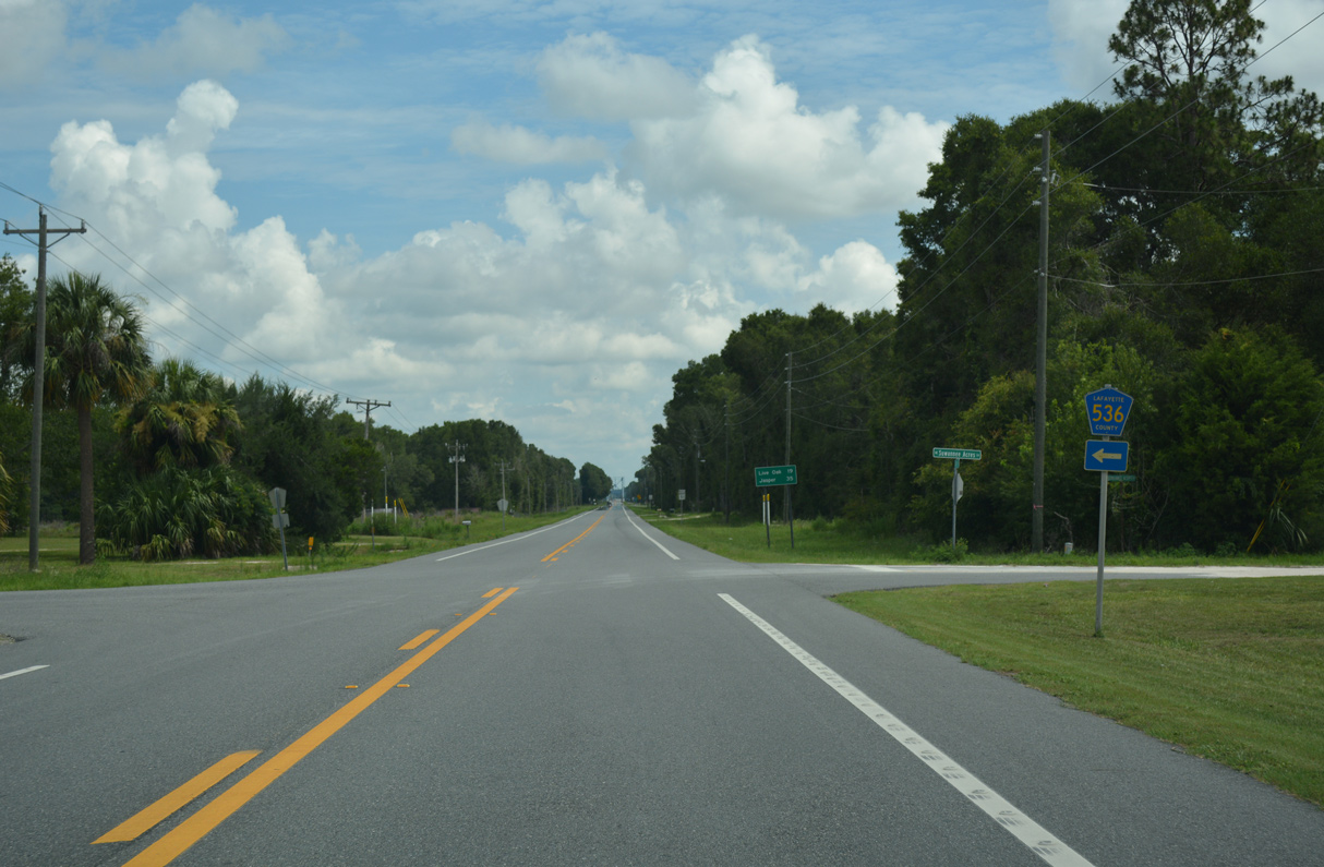
CR 536 runs 2.99 miles west from SR 51 at Suwannee Acres Lane to U.S. 27 at CR 534.
06/30/17
06/30/17

06/30/17
06/30/17
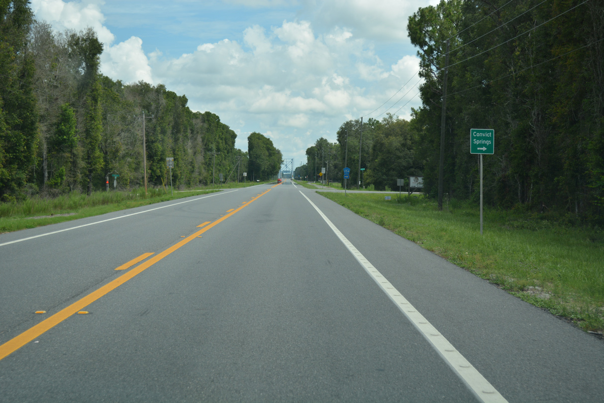
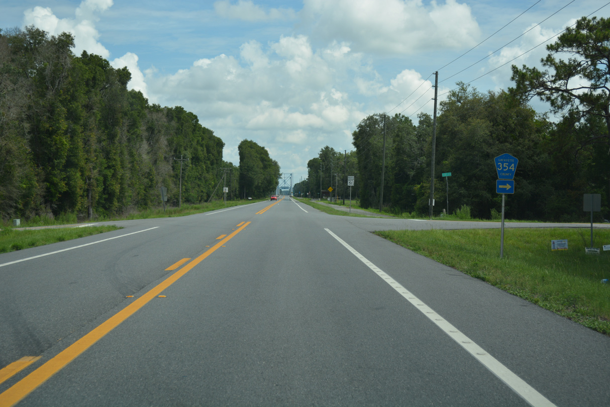
CR 354 heads east from SR 51 toward Convict Springs along the Suwannee River.
06/30/17
06/30/17
06/30/17
06/30/17
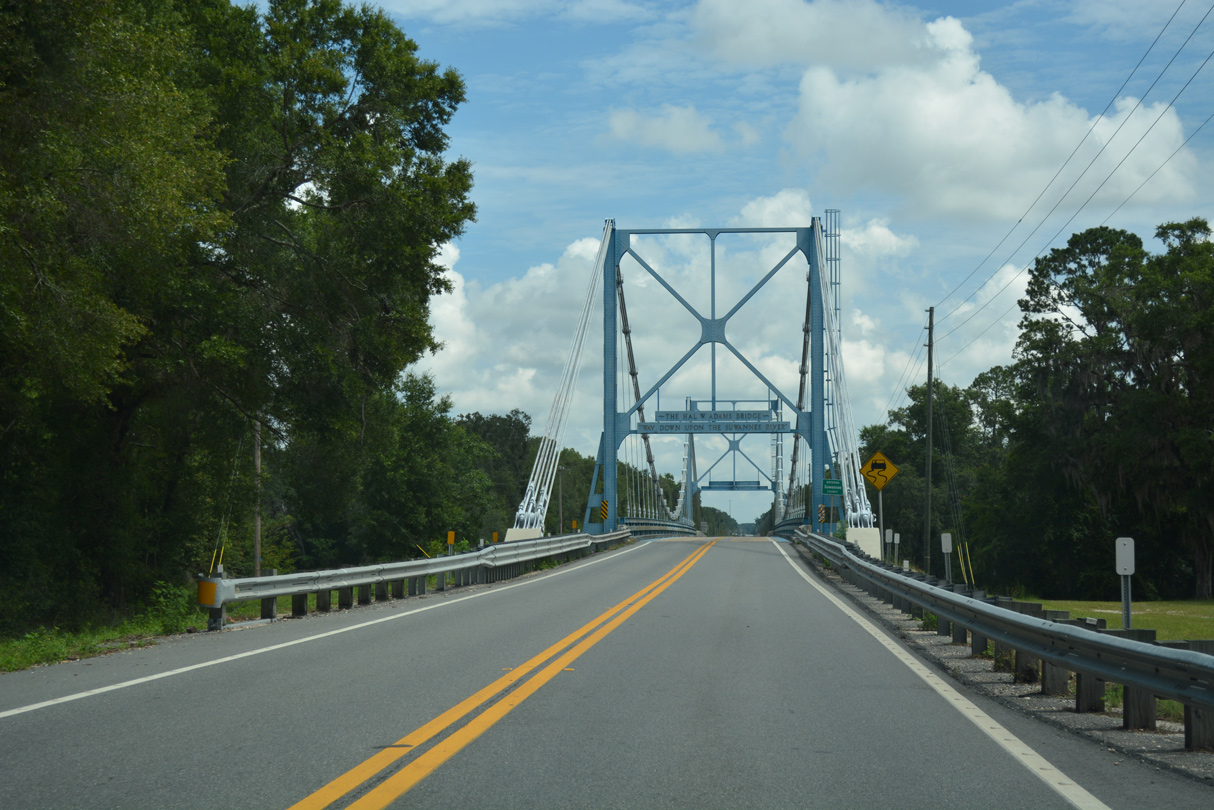
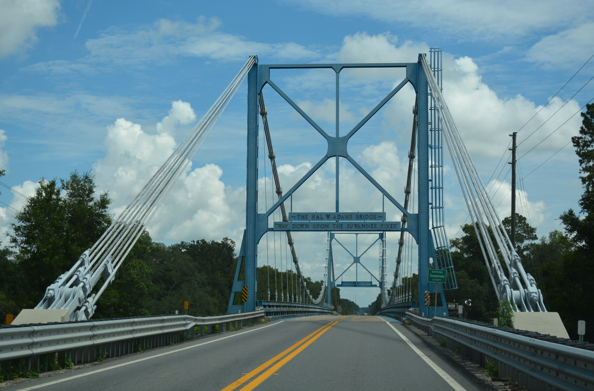
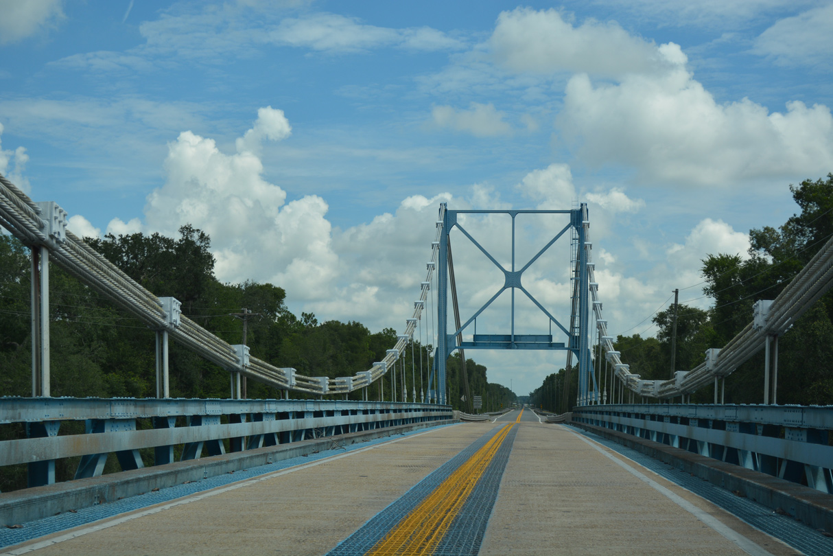
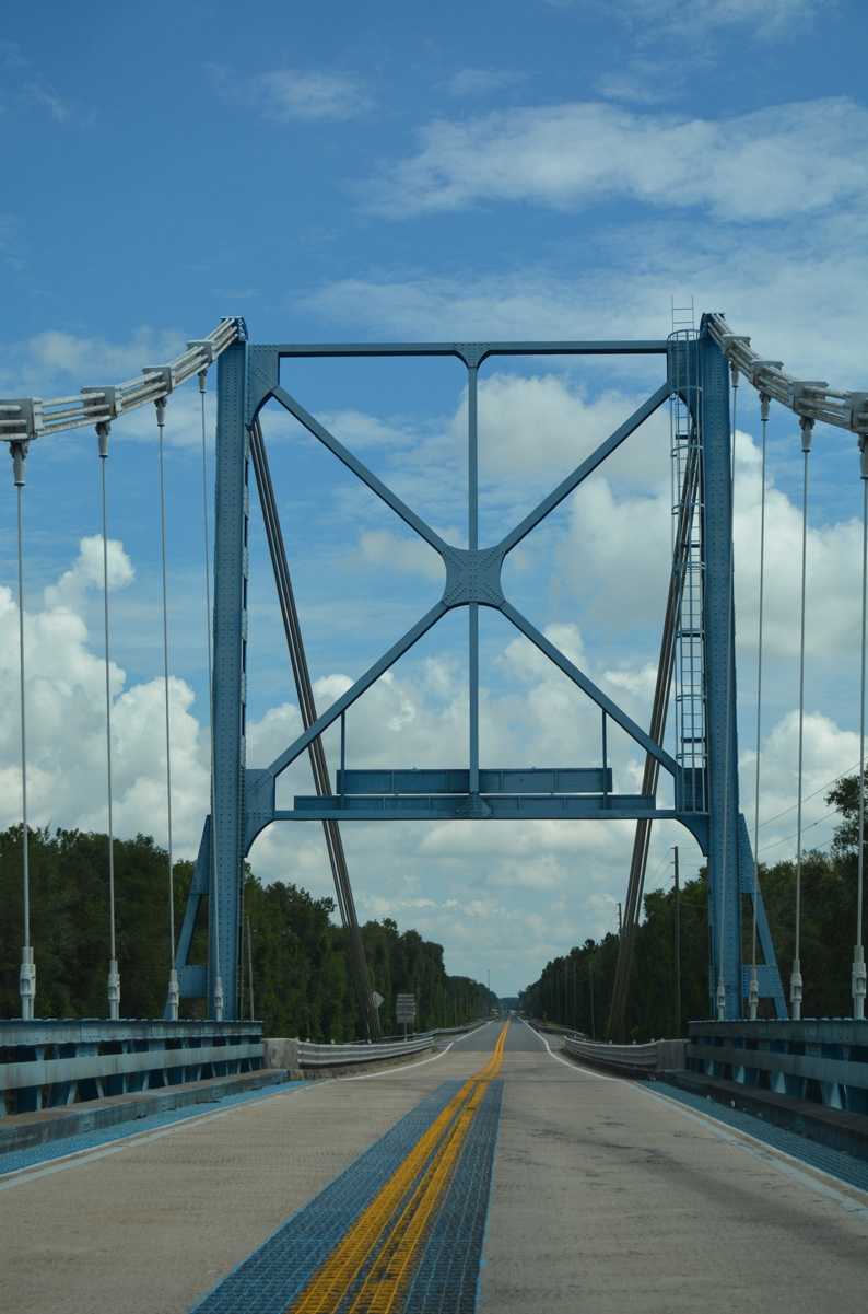
SR 51 spans the Suwannee River across a suspension bridge built in 1947.
06/30/17
06/30/17
06/30/17
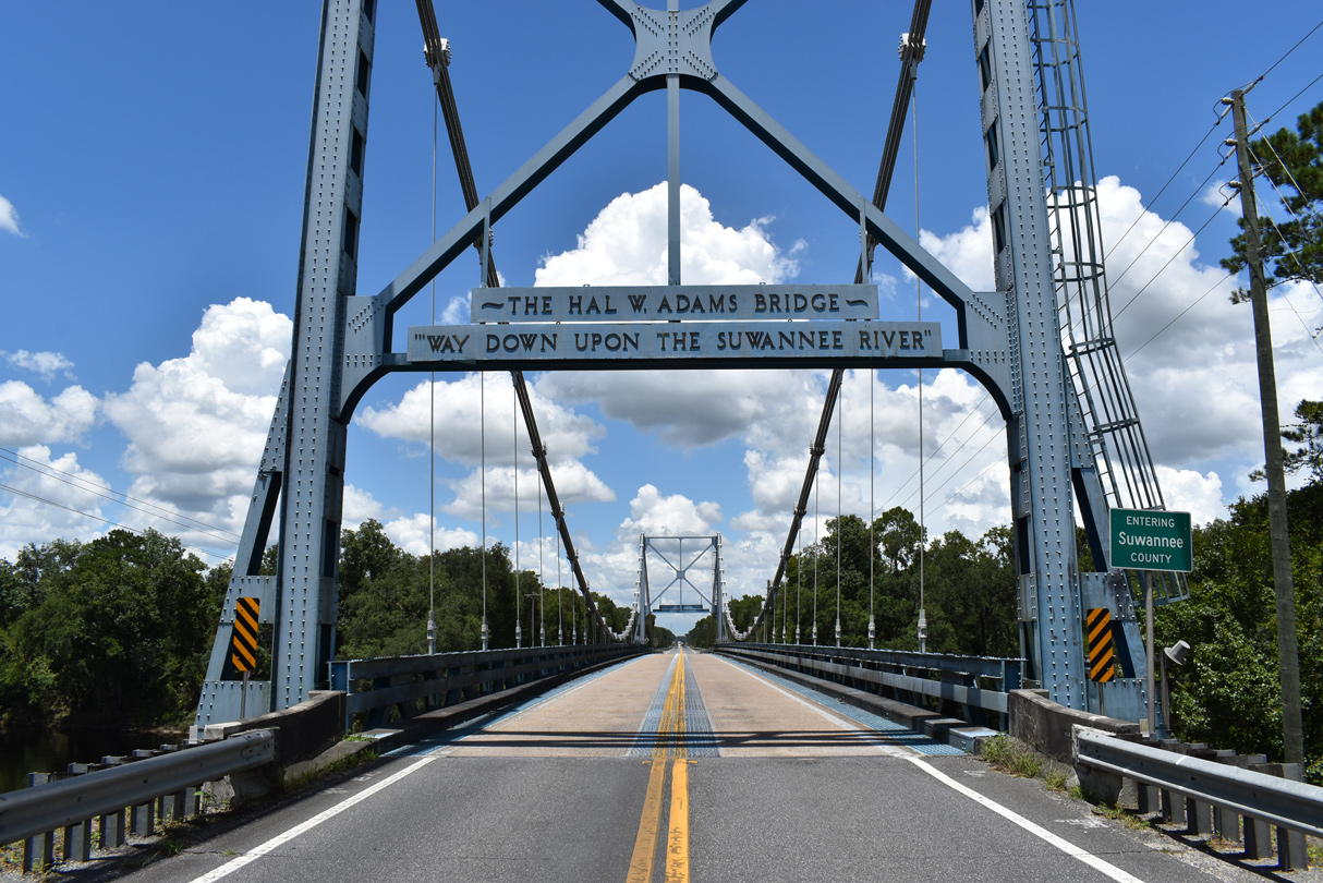
The Hal. W. Adams Bridge takes SR 51 north into Suwannee County.
07/23/20
07/23/20
06/30/17
06/30/17
06/30/17
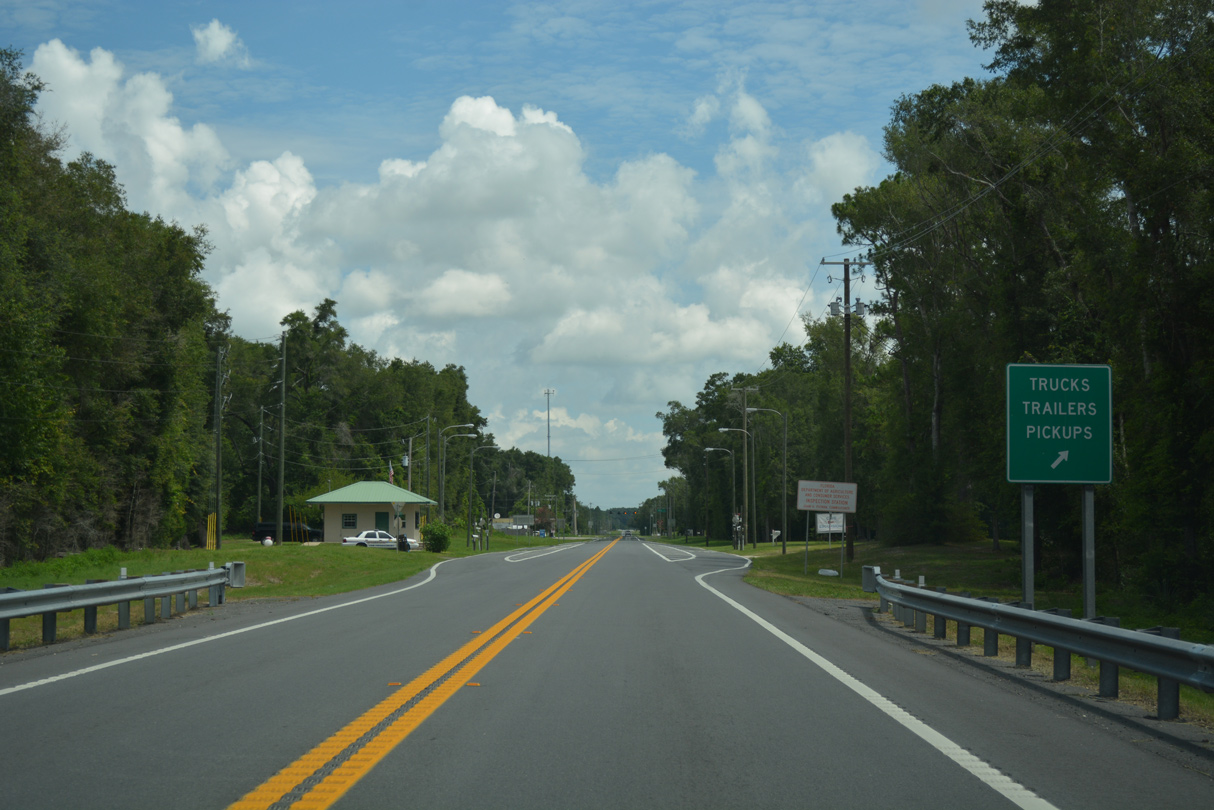
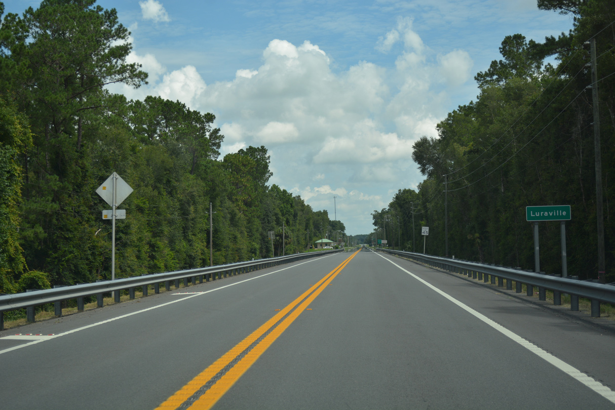
An agricultural inspection station operates along SR 51 north at Luraville.
06/30/17
06/30/17
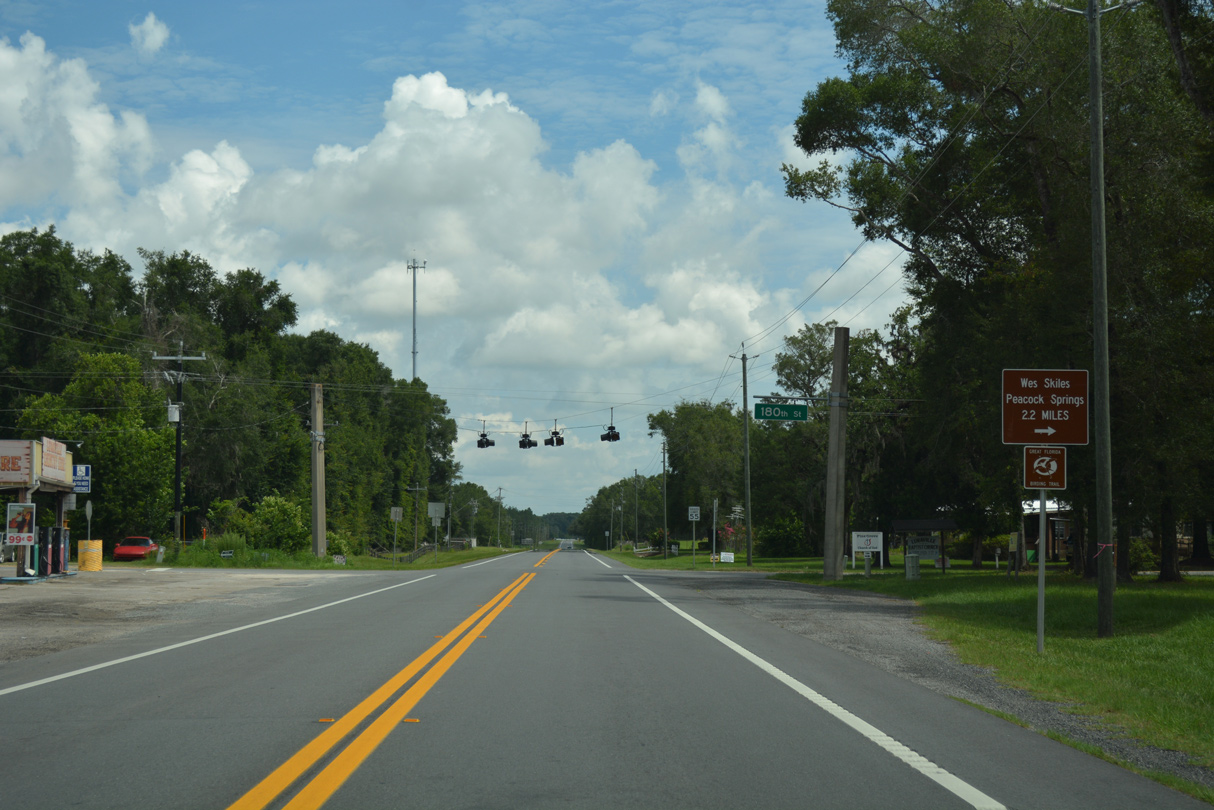
180th Street intersects SR 51 west from Wes Skiles Peacock Springs State Park at Luraville.
06/30/17
06/30/17
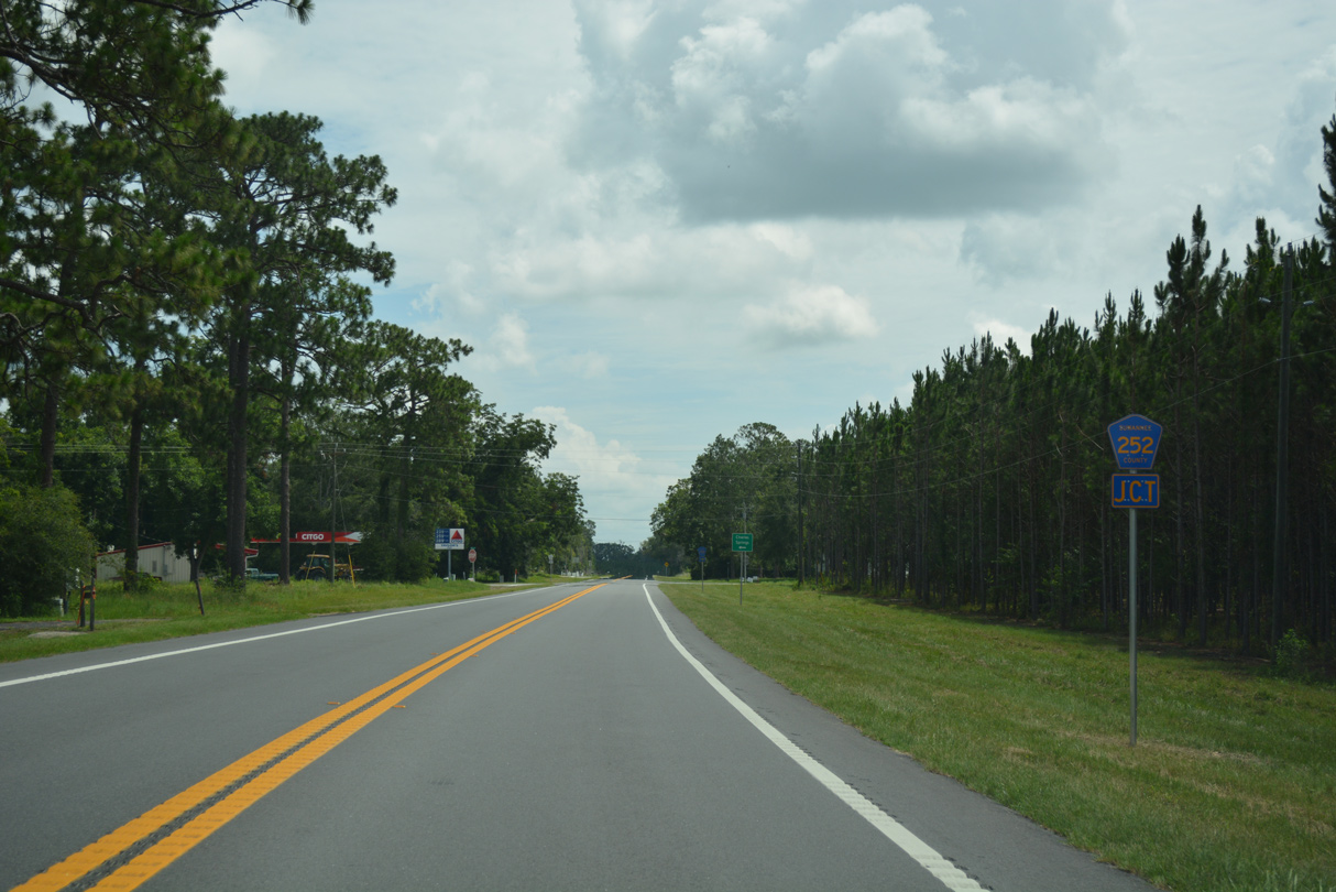
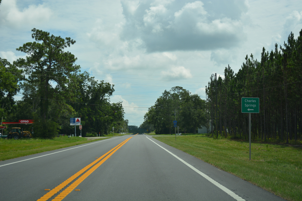
SR 51 makes a gradual easterly turn from Luraville to CR 252 at 152nd Street.
06/30/17
06/30/17
06/30/17
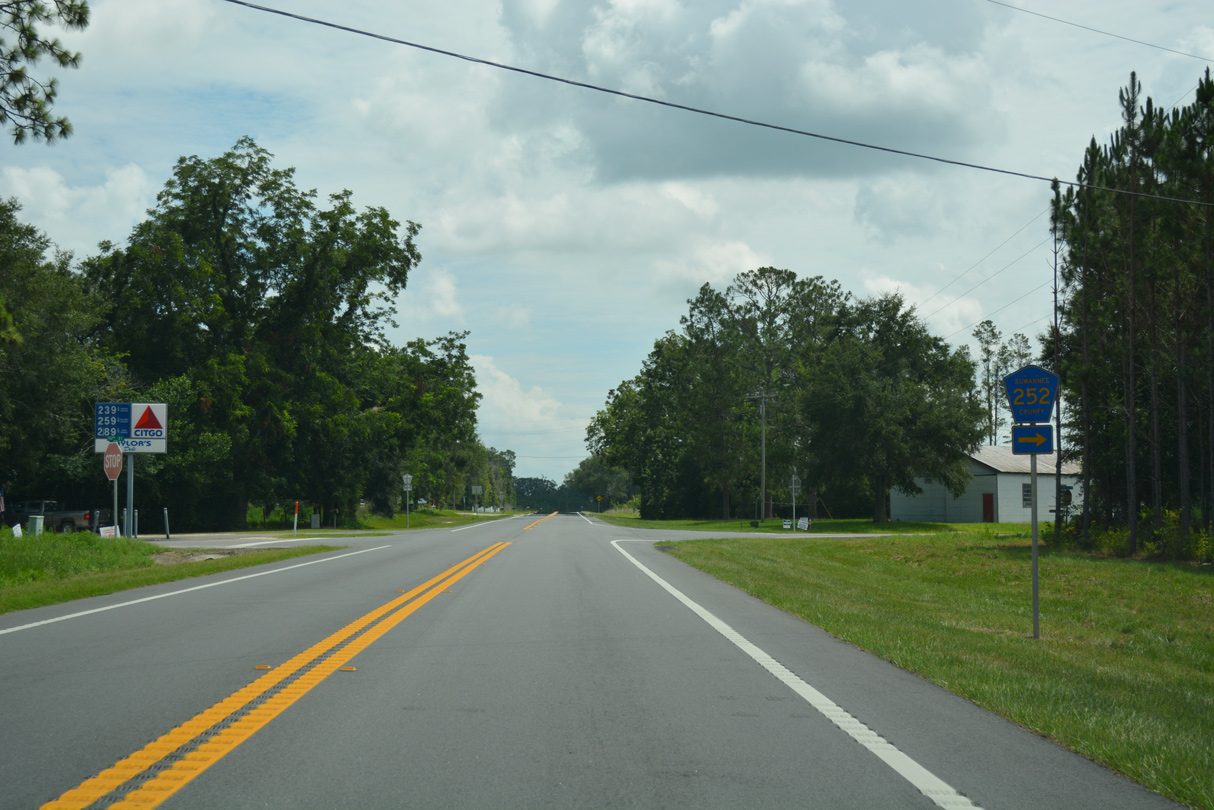
CR 252 bee lines east 10.06 miles to U.S. 129 near McAlpin.
06/30/17
06/30/17
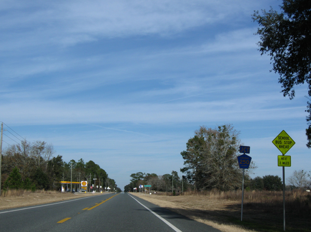
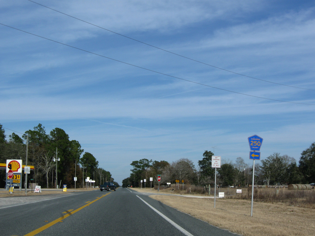
SR 51 travels 1.4 miles northeast from CR 349 north to CR 250 west.
01/18/10
01/18/10
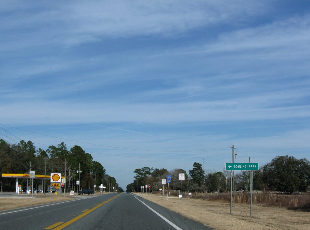
CR 250 runs 12.24 miles west to the Lafayette County line just beyond Dowling Park.
01/18/10
01/18/10
County Road 250 connects with CR 53 south to Day and north to I-10 and Madison 14.11 miles to the west.
01/18/10
01/18/10
Photo Credits:
- Alex Nitzman: 06/30/17, 07/22/20, 07/23/20
- AARoads: 12/31/06
- ABRoads: 01/18/10
Connect with:
Page Updated Friday July 24, 2020.