
State Road 59

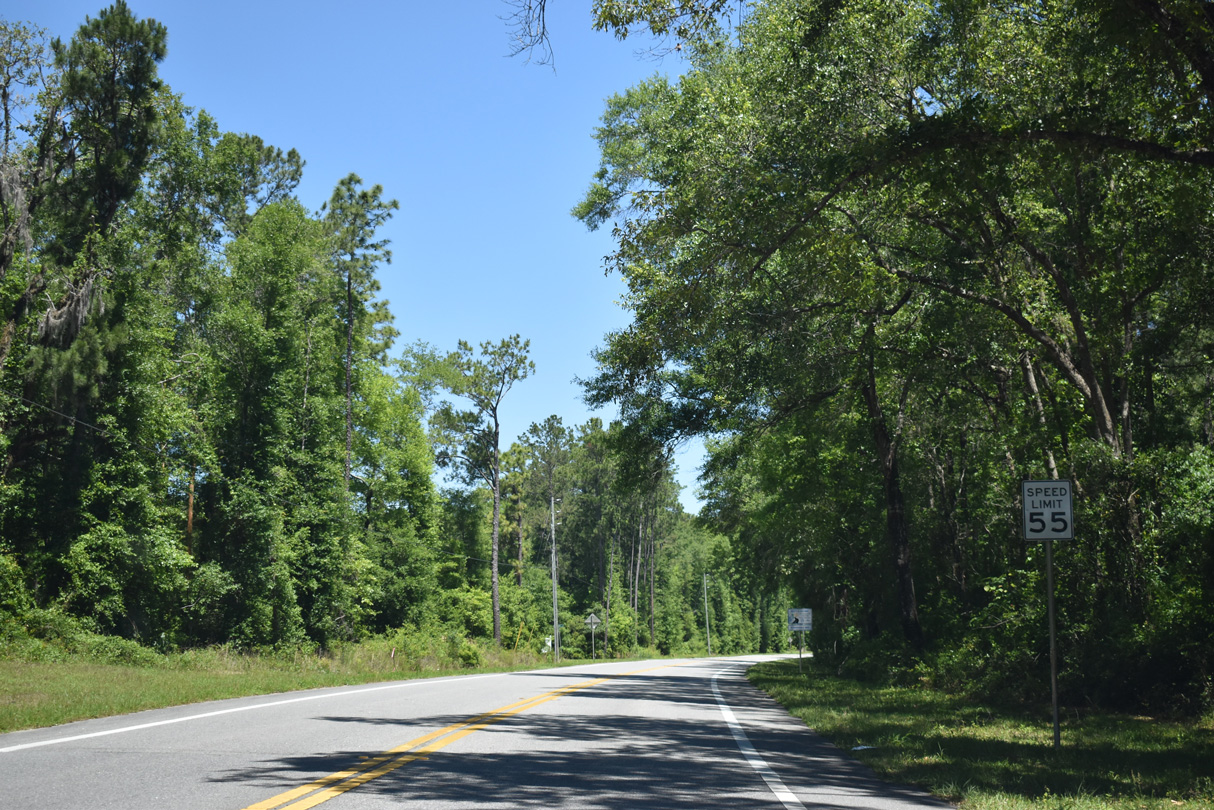
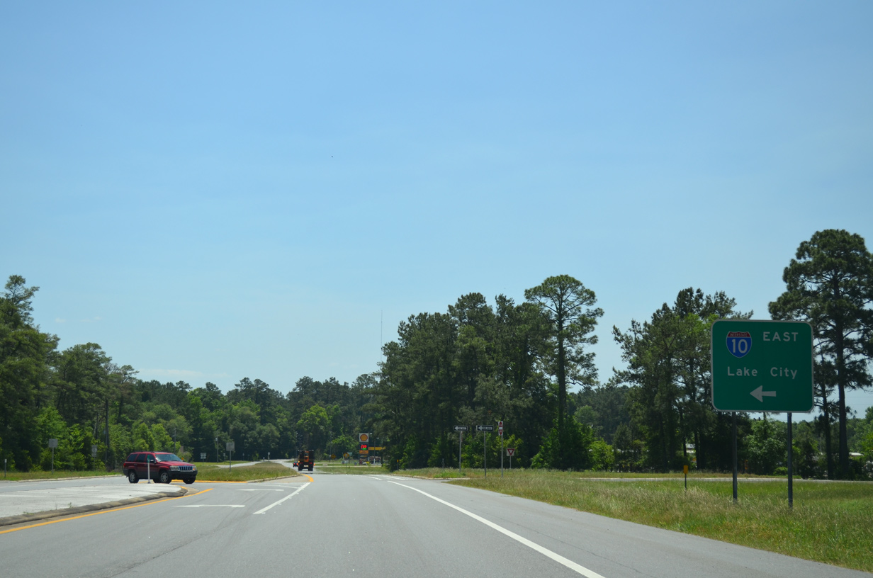
Routed almost entirely within Jefferson County, State Road 59 runs 25.91 miles north from U.S. 98 east of Newport to U.S. 90 west of Monticello. Following Gamble Road, SR 59 joins the settlement of Wacissa with the unincorporated community of Lloyd and Interstate 10 at Exit 217.
There are also two branches of County Road 59. The southern segment on Lighthouse Road spurs 10.24 miles south from U.S. 98 at Newport to Plum Orchard, St. Marks National Wildlife Refuge and St. Marks Lighthouse on Appalachee Bay. The north section travels 11.45 miles along Veterans Memorial Drive from U.S. 90 to Concord, Miccosukee, and Georgia State Route 122 in rural eastern Leon County.
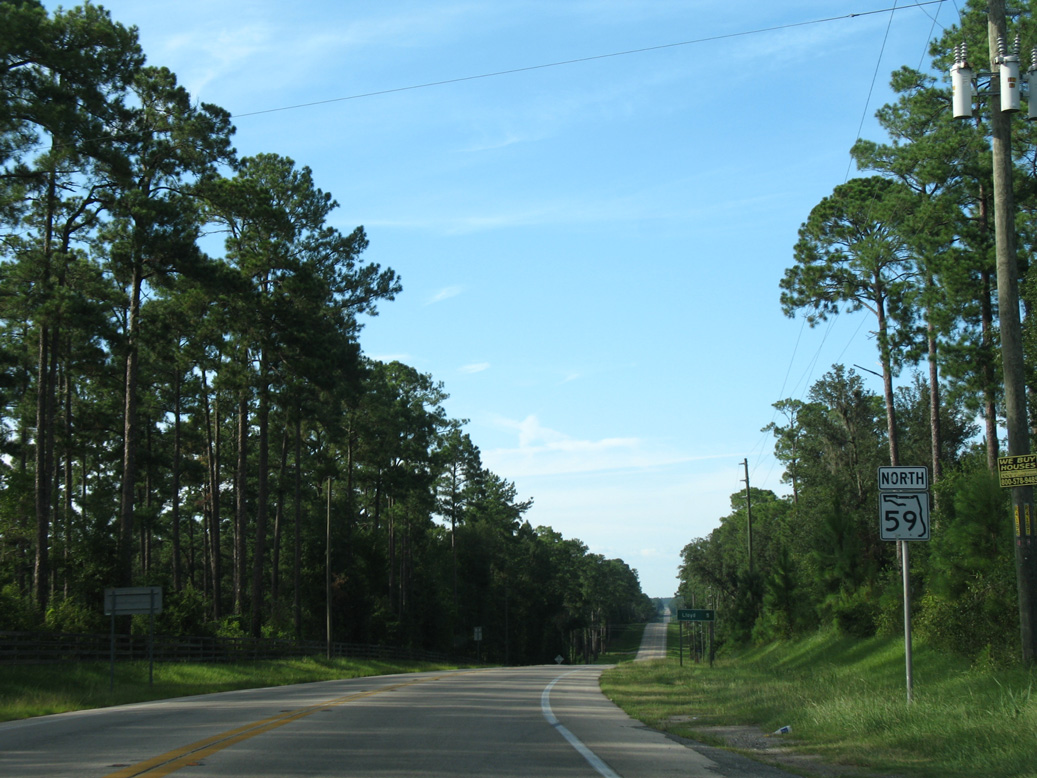
 North
North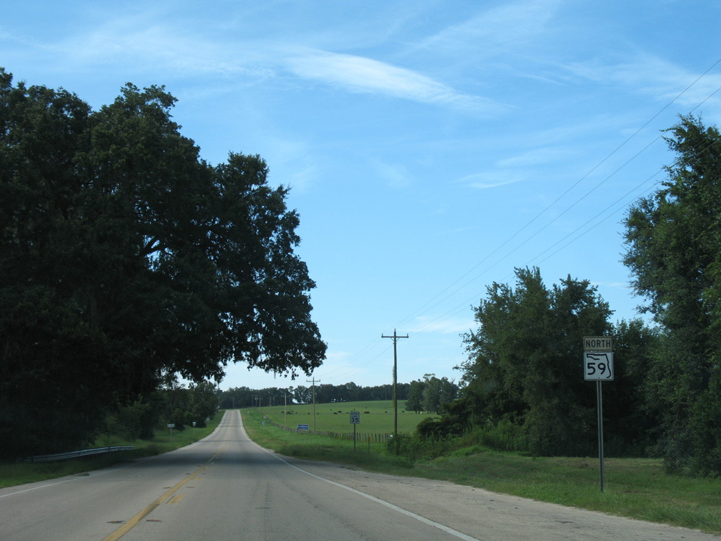
Confirming marker posted north of CR 259 (Tram Road) at Wacissa.
08/03/08
08/03/08
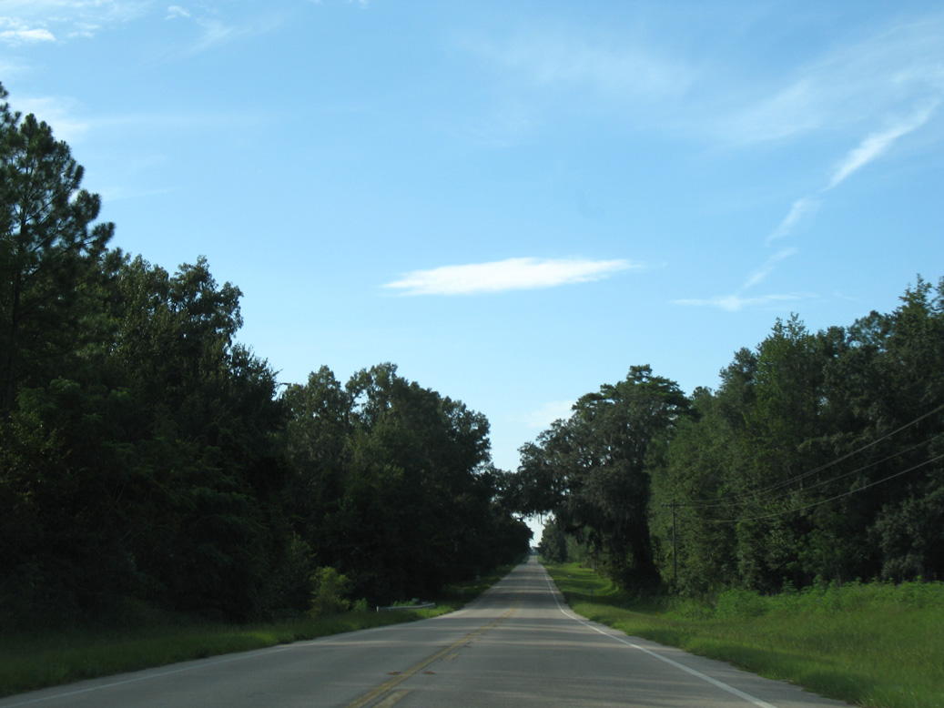
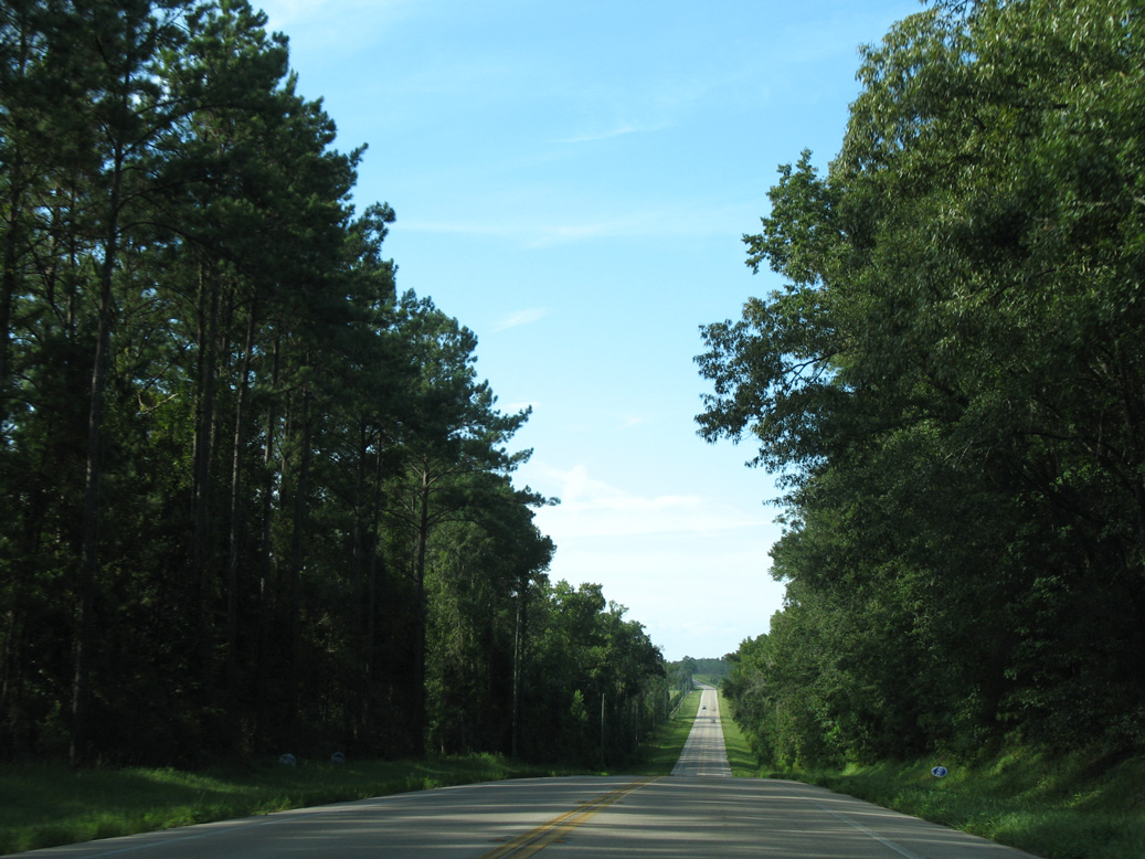
SR 59 bee lines northwest from Caney Branch and Country Hill Road.
08/03/08
08/03/08
08/03/08
08/03/08
08/03/08
08/03/08
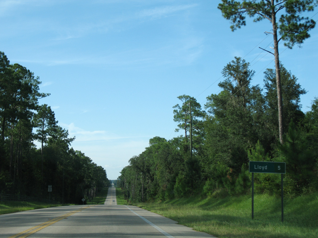
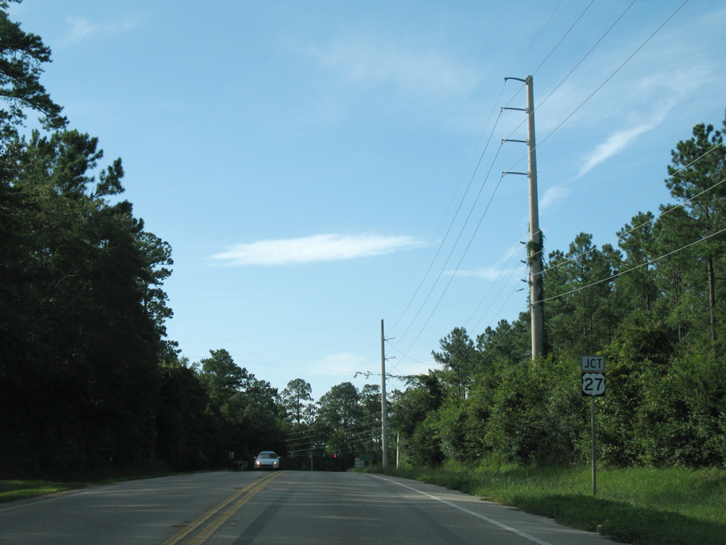
The distance sign for Lloyd posted north of U.S. 27 was replaced with a street blade by 2009.
08/03/08
08/03/08
08/03/08
08/03/08
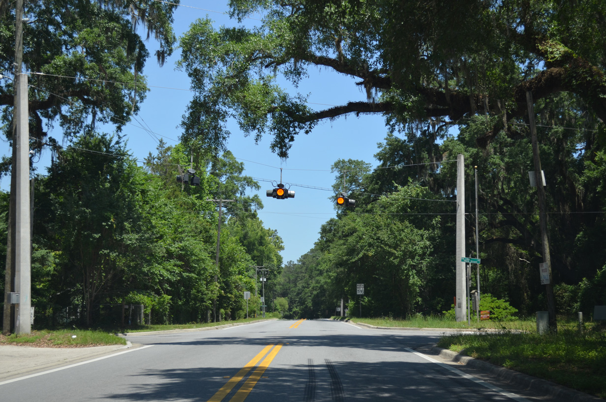
SR 59 (Gamble Road) intersects CR 158 (Old Lloyd Road) at the community of Lloyd.
05/07/15
05/07/15
06/04/17
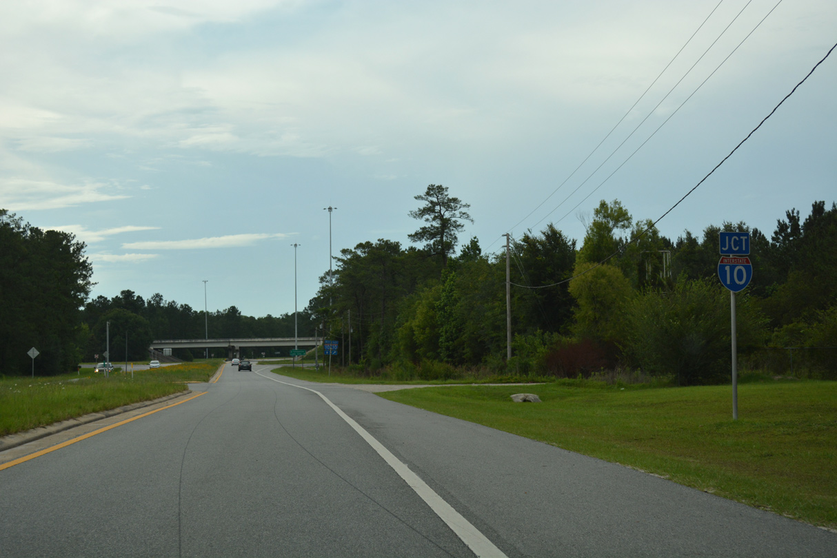
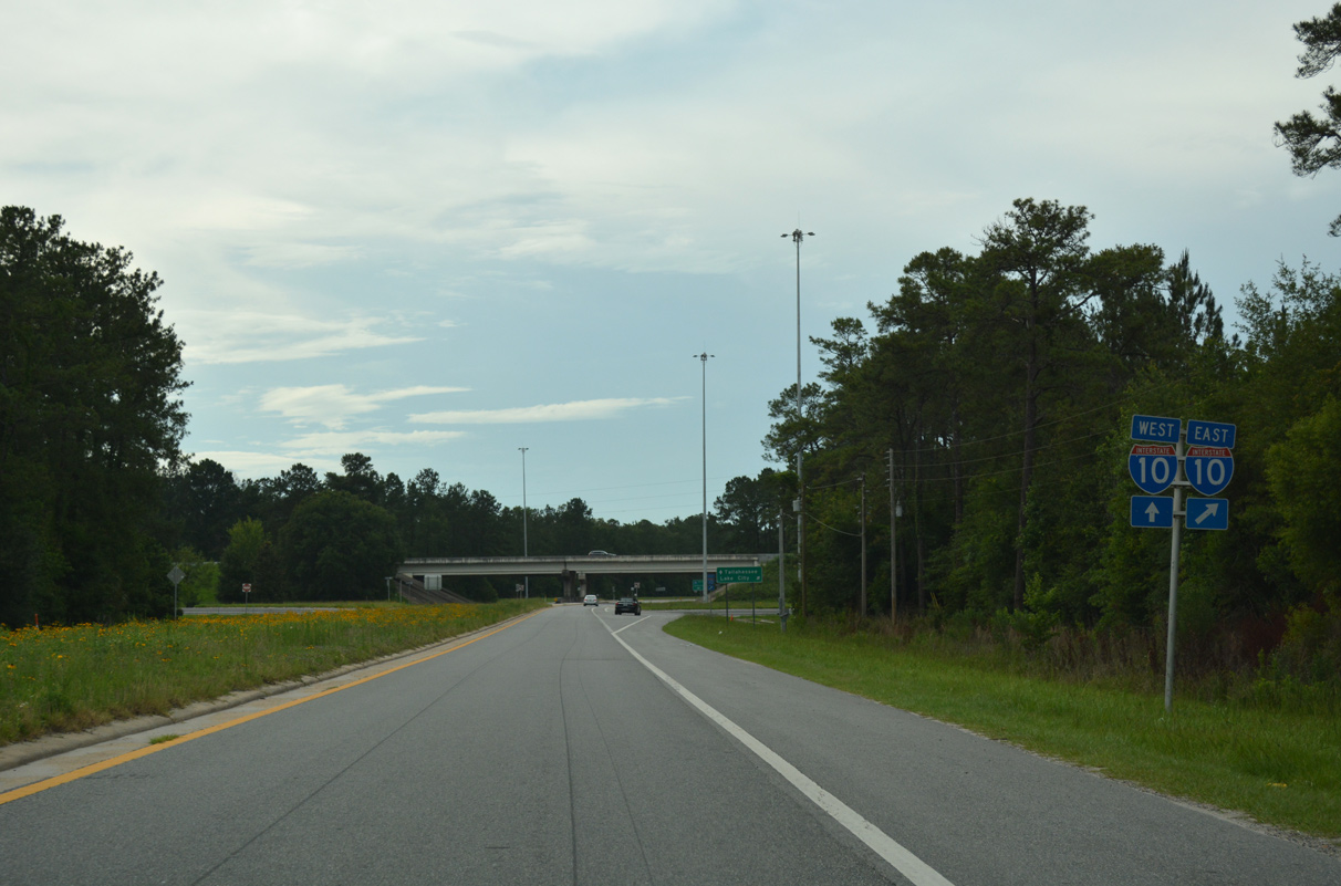
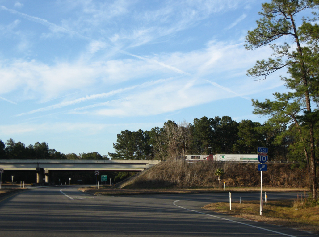
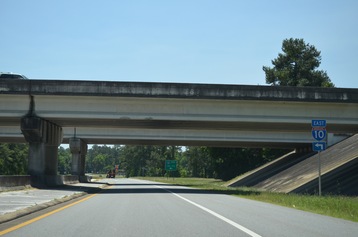
SR 59 enters a diamond interchange (Exit 217) with Interstate 10 just north of Lloyd.
06/04/17
06/04/17
06/04/17
06/04/17
01/18/10
06/04/17
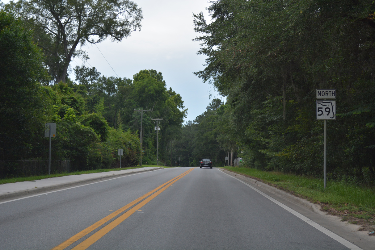
SR 59 is unmarked along Gamble Road north of Interstate 10.
05/02/20
05/02/20
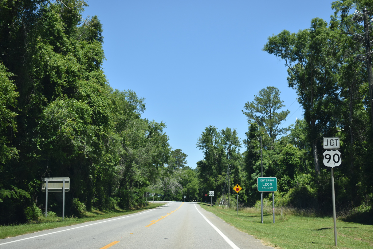
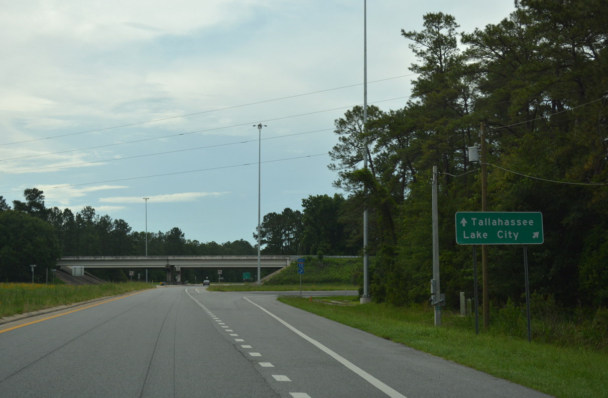
SR 59 crosses into Leon County just ahead of U.S. 90 (Mahan Drive) and CR 142 (Old Magnolia Road).
05/02/20
05/02/20
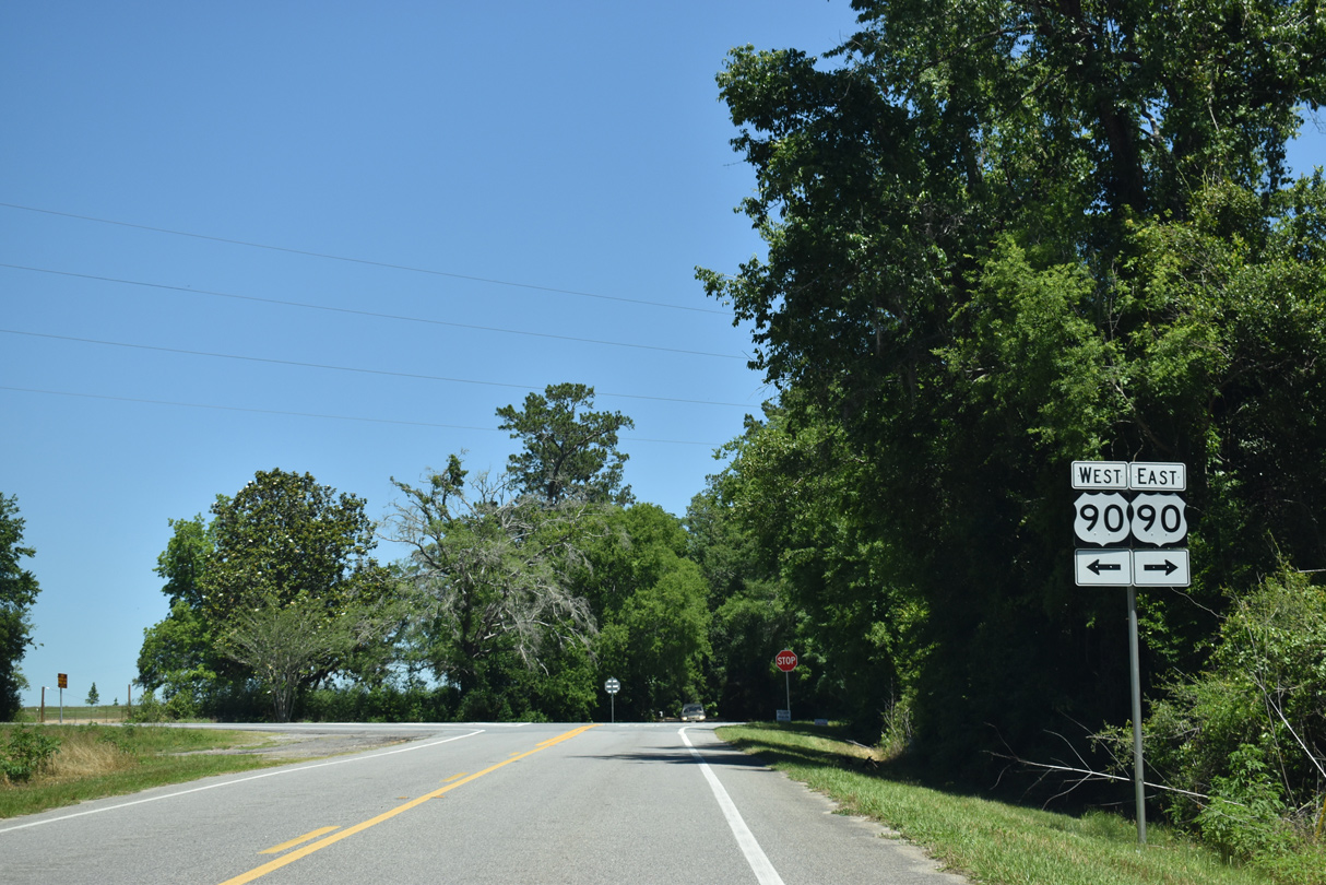
U.S. 90 travels 1.75 miles west from SR 59 to CR 59 (Veterans Memorial Drive) north.
05/02/20
05/02/20
South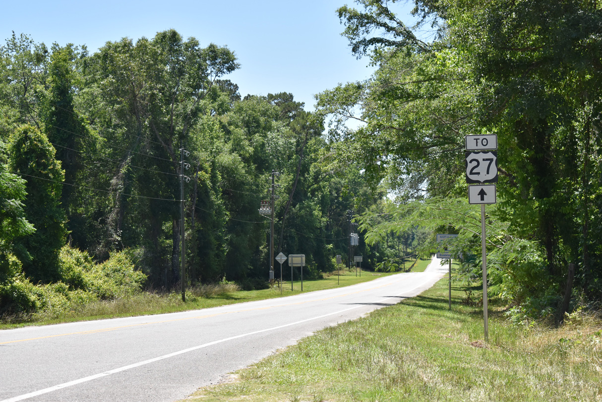
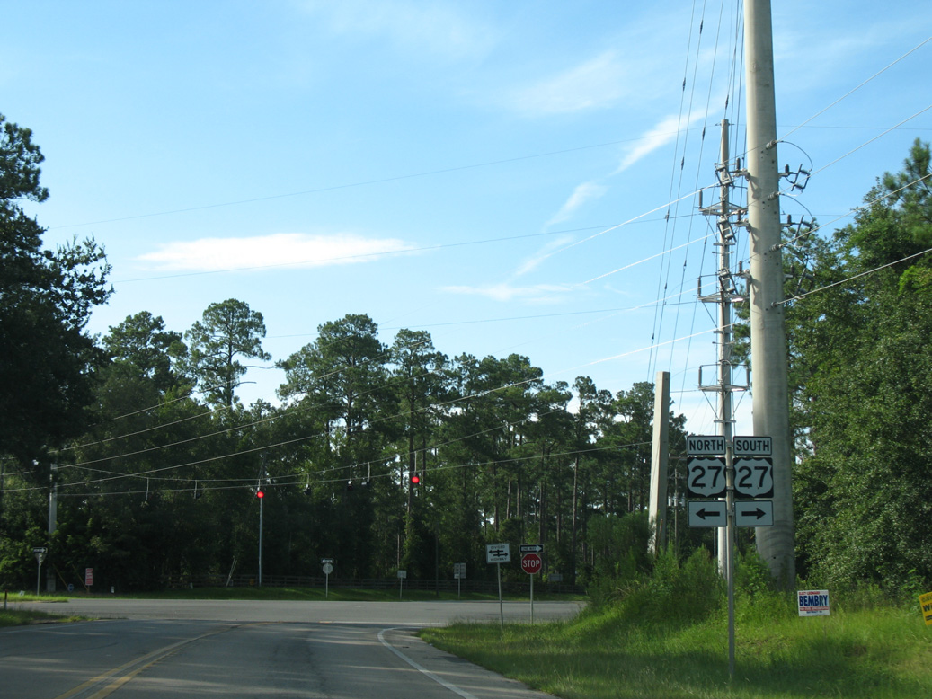
A U.S. 27 trailblazer stands at the southbound beginning of SR 59 in place of a confirming marker.
05/02/20
05/02/20
05/07/15
05/07/15
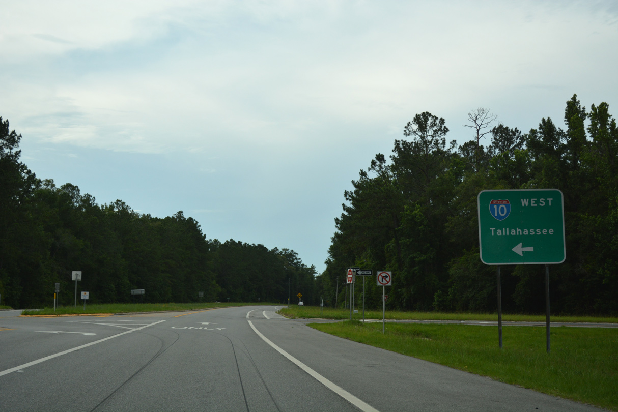
Continuing south from the exchange with Interstate 10, SR 59 (Gamble Road) intersects CR 158 (Old Lloyd Road) at Lloyd. Unsigned from SR 59, CR 158 west becomes CR 1540 along Capitola Road in Leon County.
05/07/15
05/07/15
Photo Credits:
- Alex Nitzman: 08/03/08, 05/07/15, 06/04/17
- Brent Ivy: 01/18/10
- ABRoads: 05/02/20
Connect with:
Page Updated Monday March 22, 2021.