
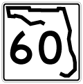
State Road 60 East - Lake Wales to Yeehaw Junction
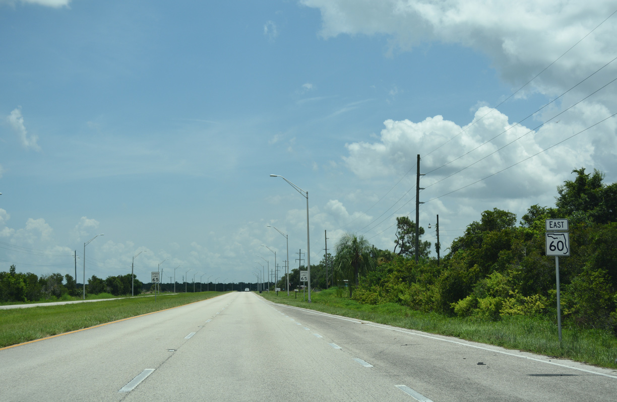
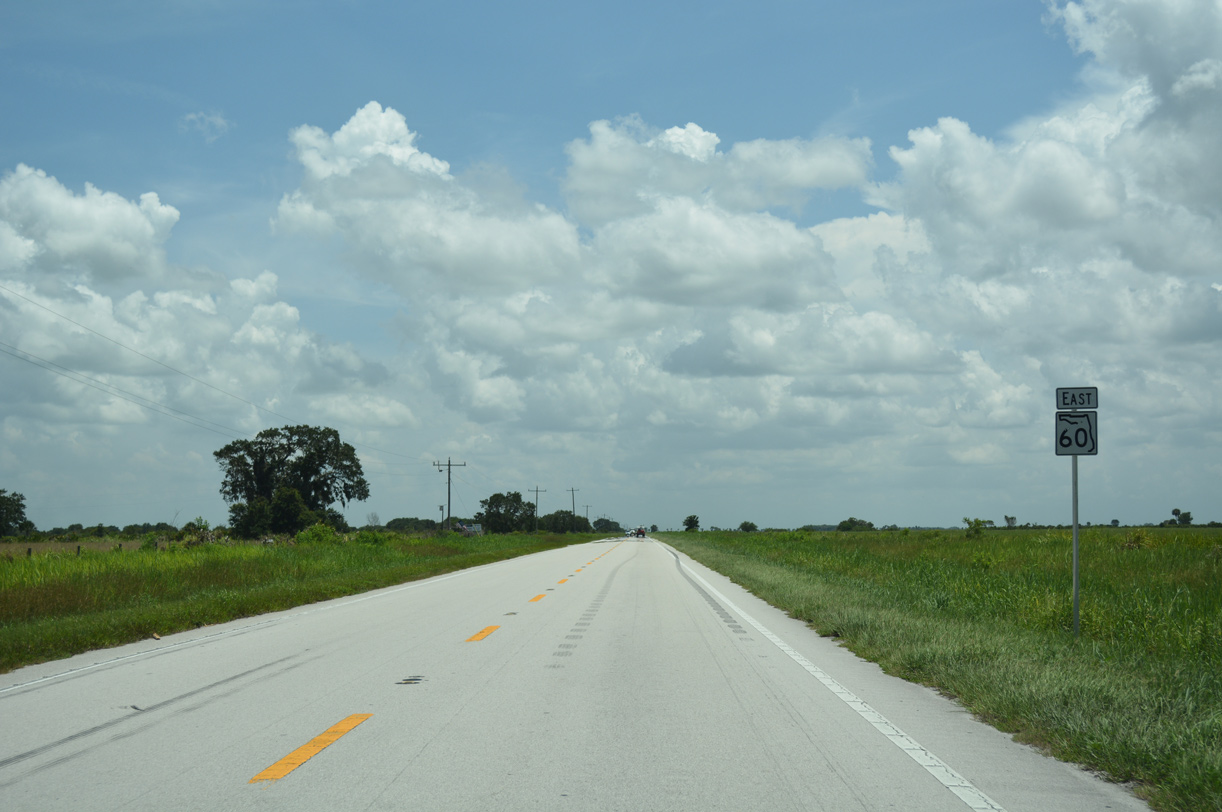
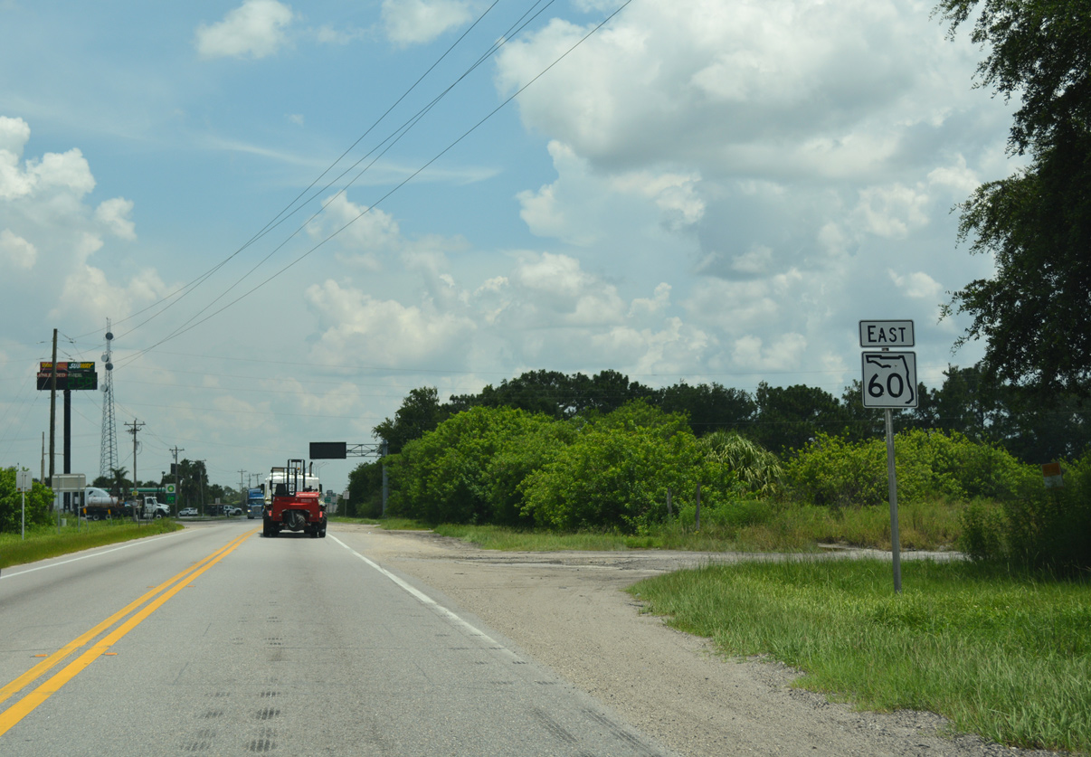
 East
East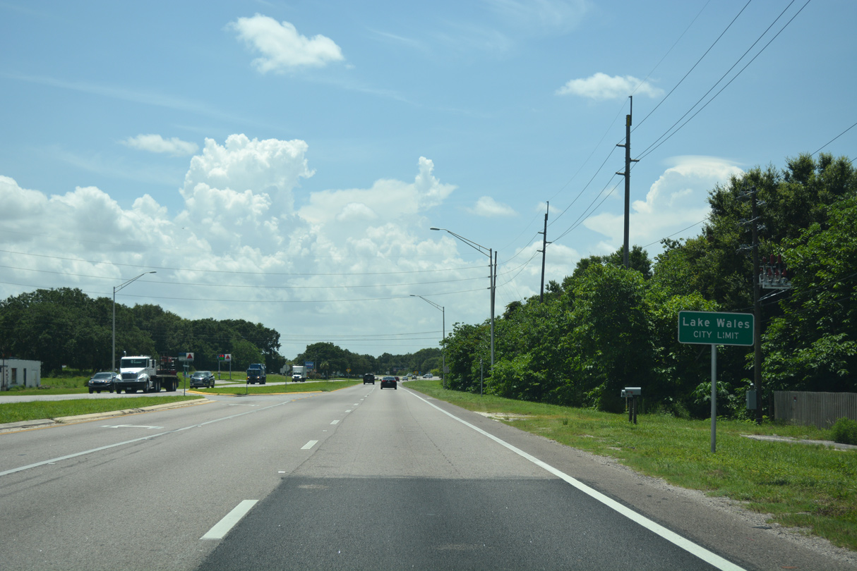
Eastbound SR 60 enters the city of Lake Wales at Central Avenue.
07/25/17
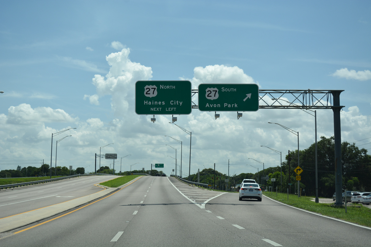
Continuing into Lake Wales, SR 60 (Polk Avenue) converges with U.S. 27 at a six-ramp parclo interchange dating back to 1966.
07/25/17
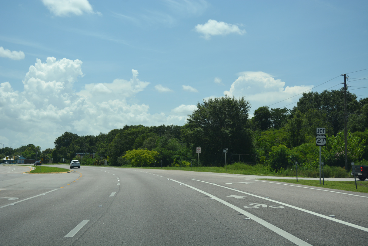
U.S. 27 bypasses the west side of Lake Wales along an arterial route leading south to Crooked Lake and Avon Park.
07/25/17
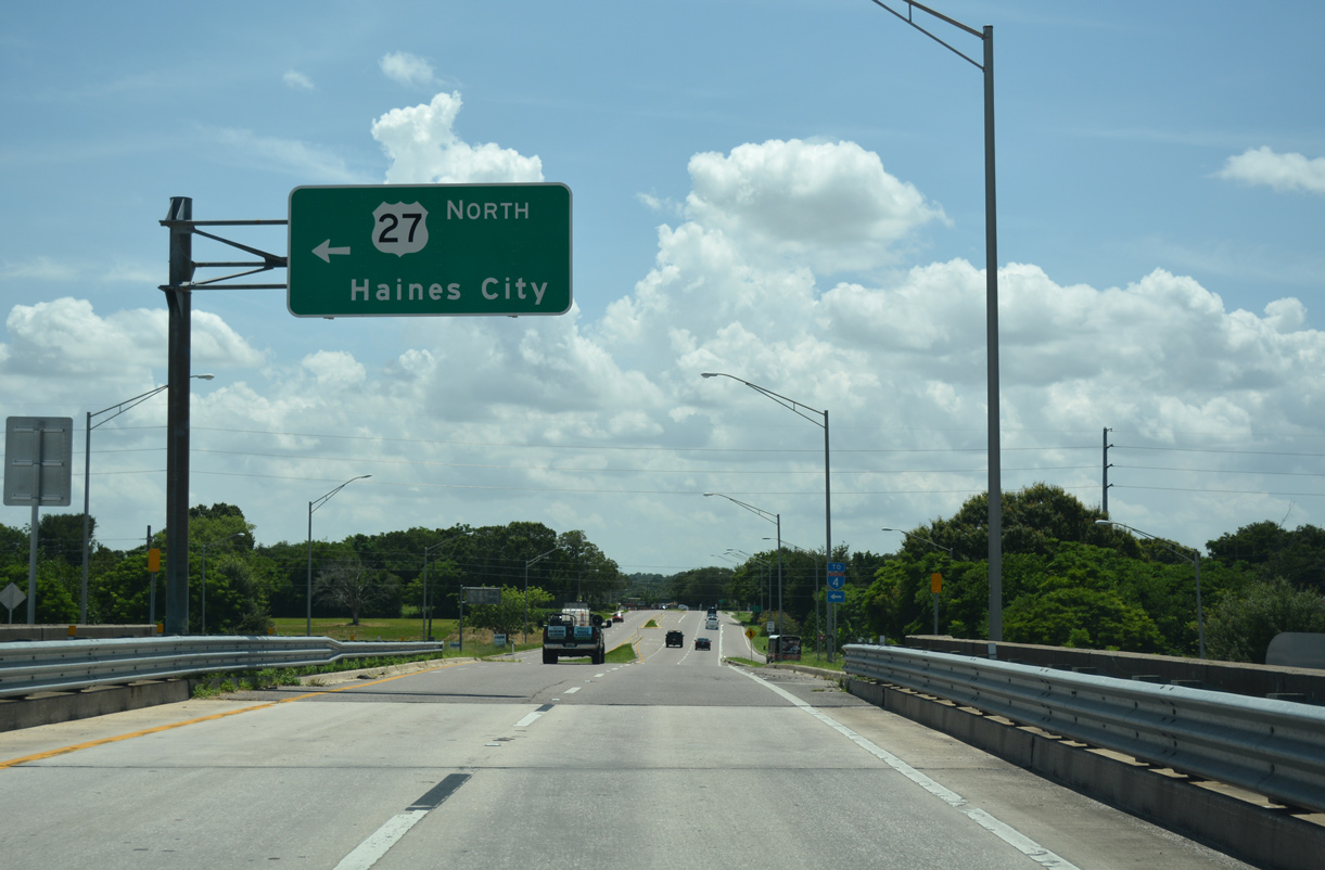
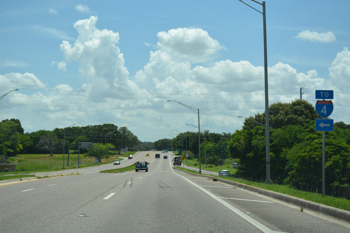
Heading north from SR 60 and Lake Wales, U.S. 27 travels to Dundee, Haines City and Interstate 4 at Posner Park.
07/25/17
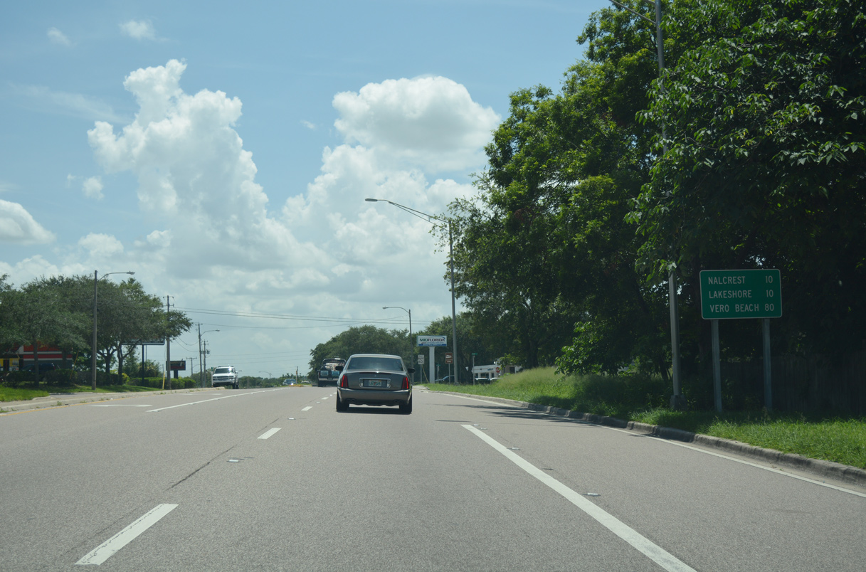
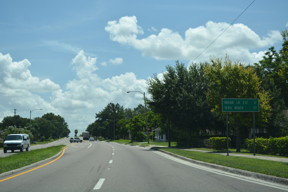
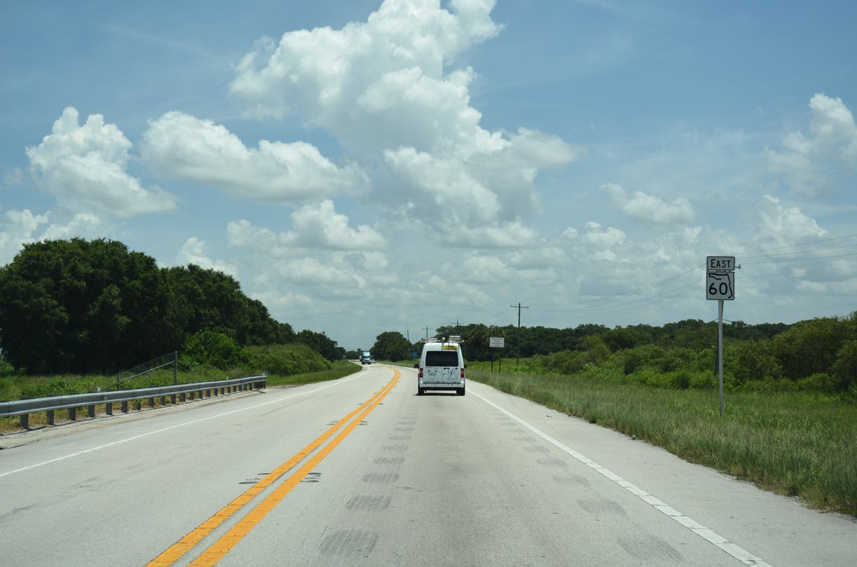
Nalcrest and Lakeshore line the north side of Lake Weohyakapka, ten miles east of U.S. 27 via SR 60. Beyond Lake Wales, SR 60 is a rural highway to the western outskirts of Vero Beach.
07/25/17
SR 60 shifts southward from Polk Avenue along an S-curve by Twin Lakes.
07/25/17
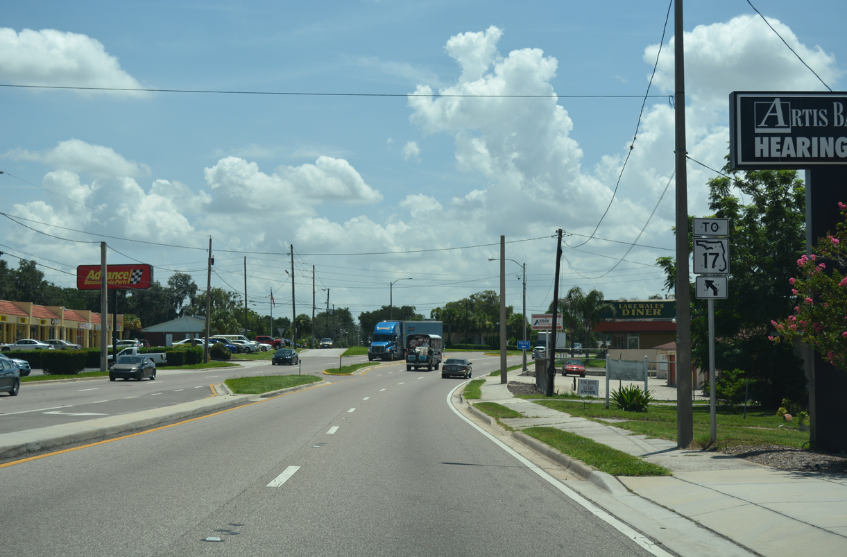
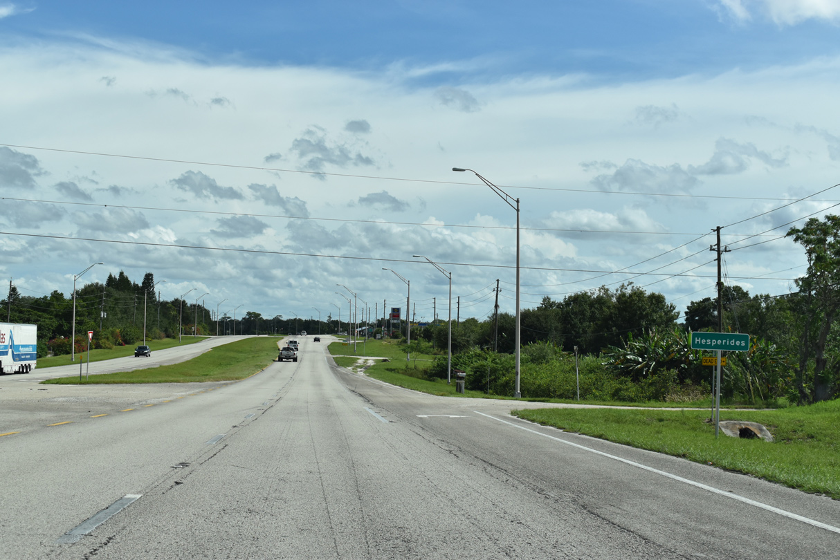
Polk Avenue east to SR 17 represents the former alignment of SR 60. SR 60 spans SR 17 (Scenic Highway) with no direct access along Hesperides Road.
07/25/17
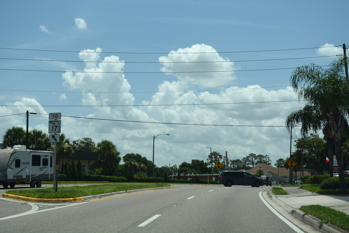
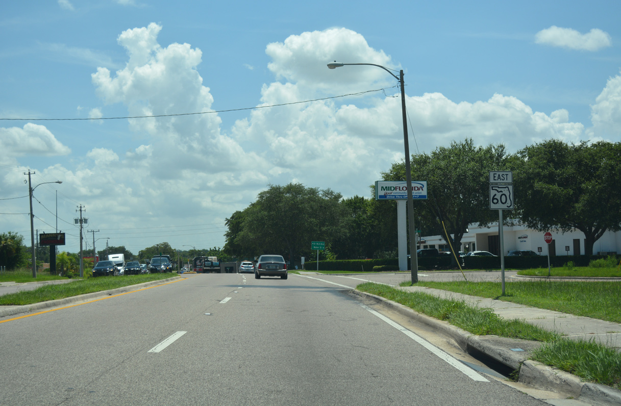
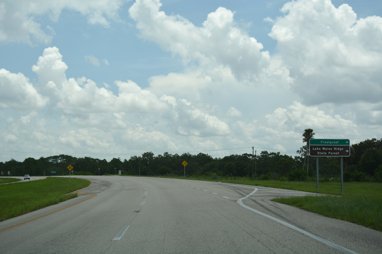
State Road 17 through Lake Wales is part of the old alignment of U.S. 27 south to Frostproof and north to Dundee and Haines City. Historically SR 60 and U.S. 27 overlapped between Polk Avenue and Hesperides Road.
07/25/17
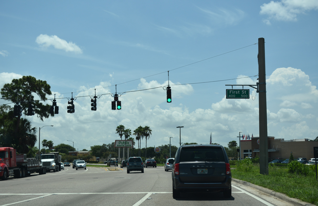
State Road 60 intersects S 1st Street in Lake Wales by Twin Lakes.
07/25/17
SR 60 joins Hesperides Road east ahead of 3rd Street in Lake Wales.
07/25/17
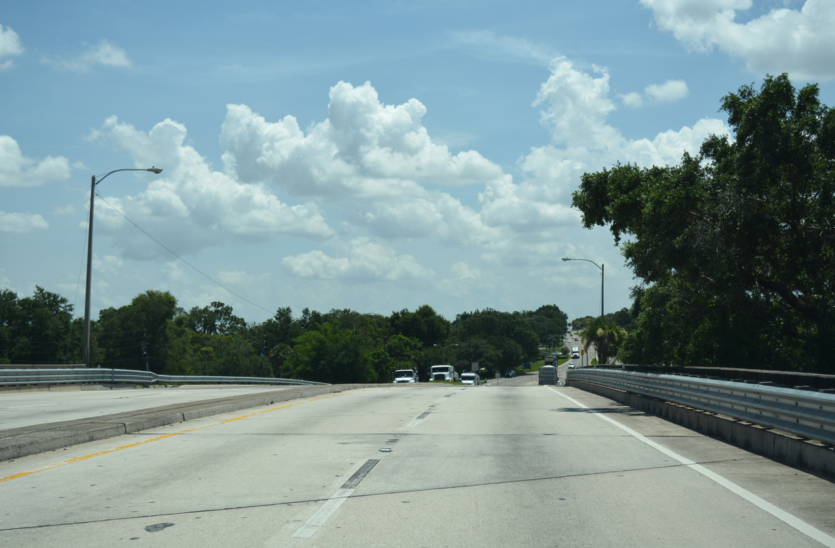
A 1966-span elevates SR 60 over SR 17 (Scenic Highway), 4th Street and a Florida Midland Railroad line.
07/25/17
Distance sign posted after the grade separation with SR 17 (Scenic Highway).
07/25/17
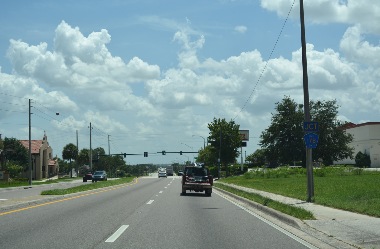
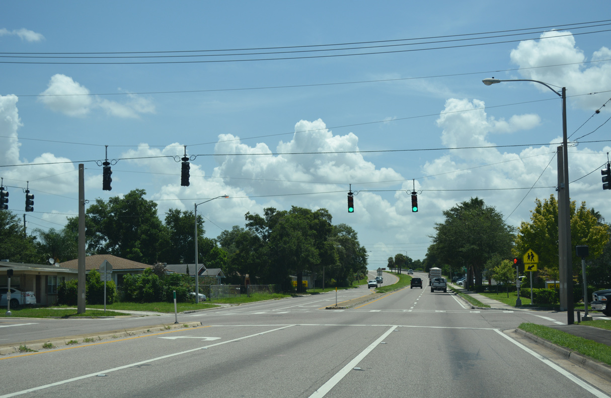
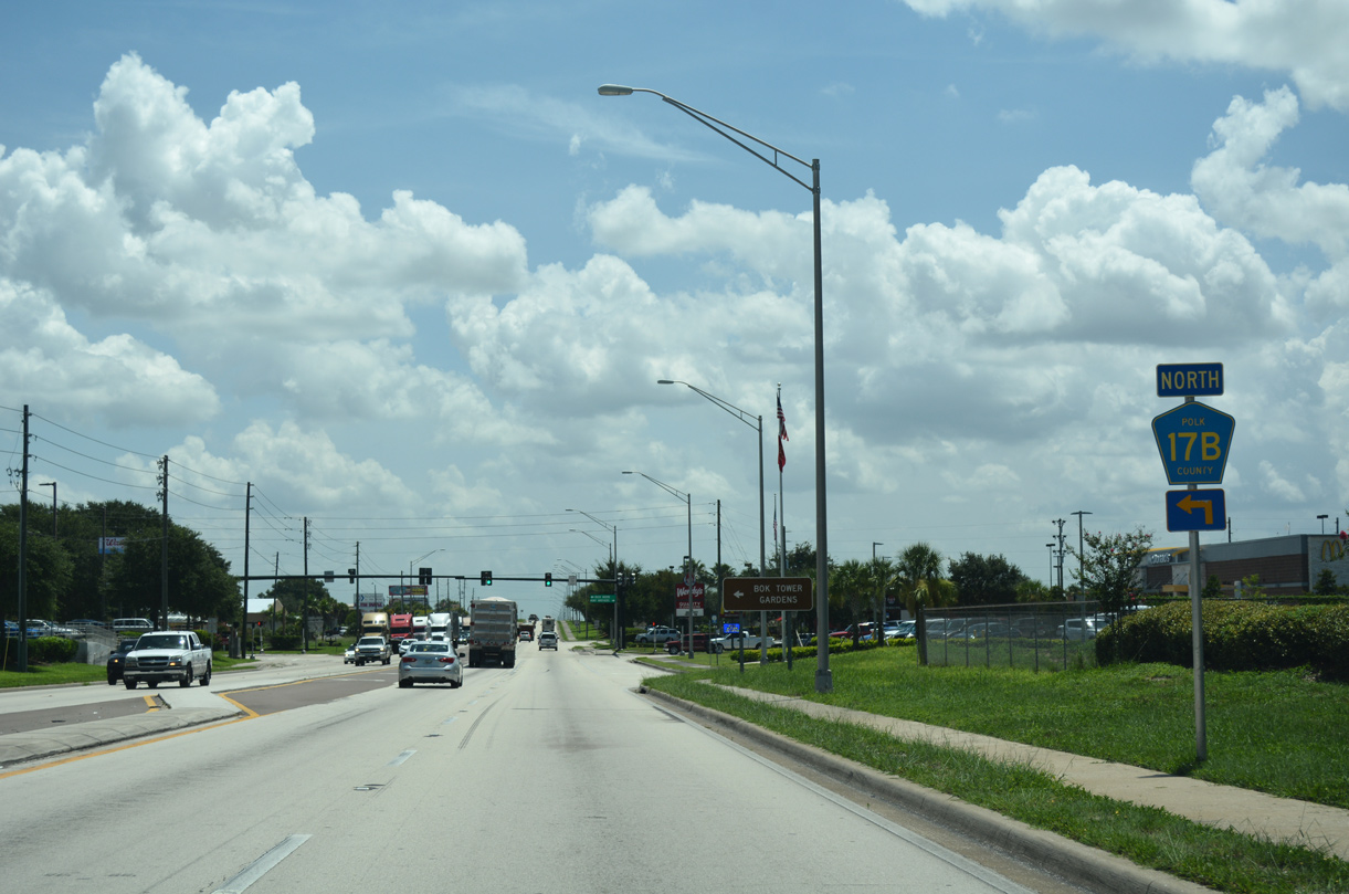
Approaching the south branch of CR 17B (11th Street S) on SR 60 east in Lake Wales.
07/25/17
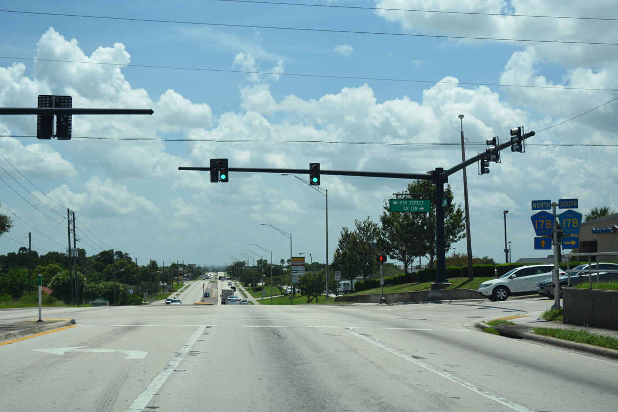
County Road 17B forms a 3.3 mile loop south to Highlands and west along Hunt Brothers Road to U.S. 27.
07/25/17
SR 60 (Hesperides Road) drops 54 feet in elevation over the ensuing mile from CR 17B (11th Street S) south.
07/25/17
The northern branch of CR 17B follows Buck Moore Road 1.40 miles north from SR 60 to CR 17A (Burns Avenue).
07/25/17
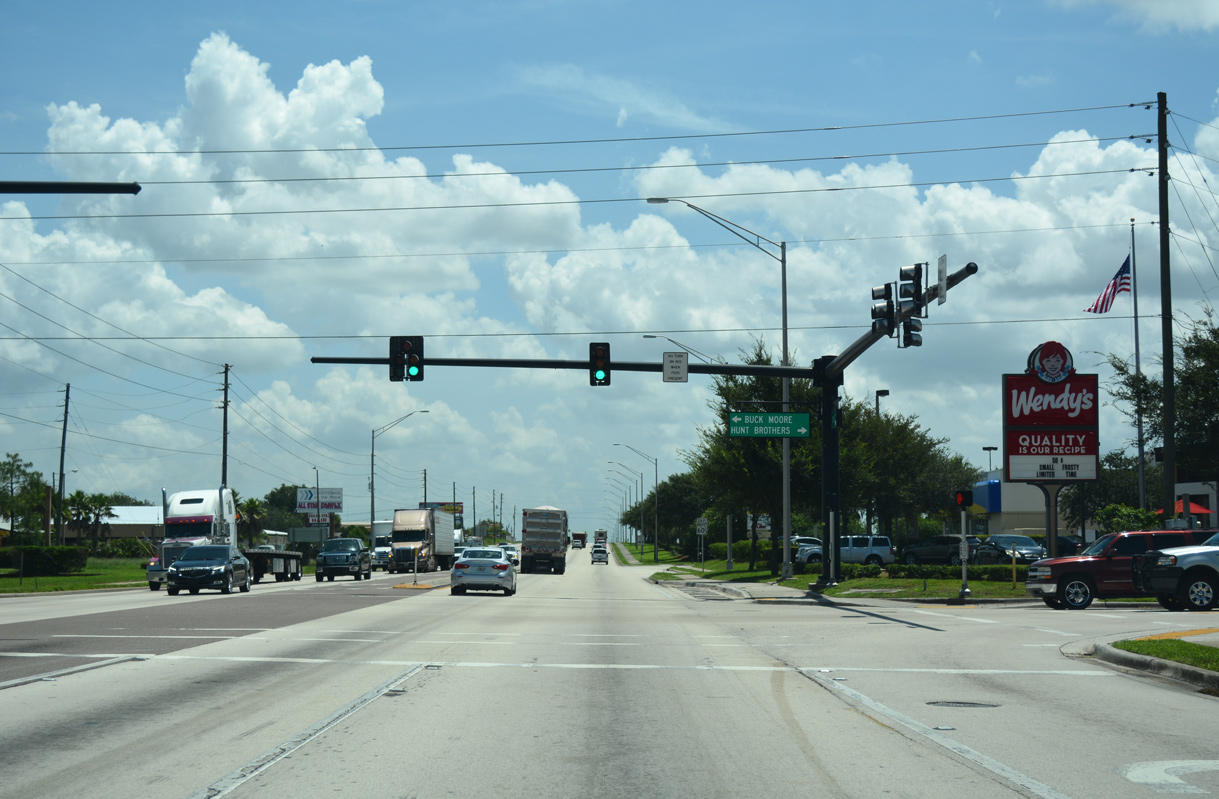
Hunt Brothers Road extends south from the intersection of SR 60 and CR 17B (Buck Moore Road) across orange groves to Highland Park.
07/25/17
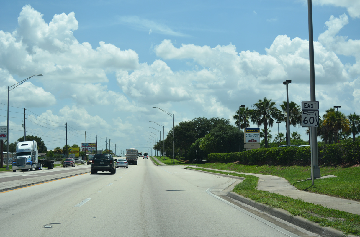
The last businesses along SR 60 in Lake Wales line Hesperides Road east of CR 17B / Hunt Brothers Road.
07/25/17
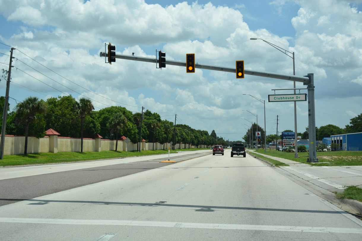
Emergency signals operate at SR 60 and Clubhouse Drive for Polk County Fire Rescue Station Number 26 across from Lake Wales Country Club.
07/25/17
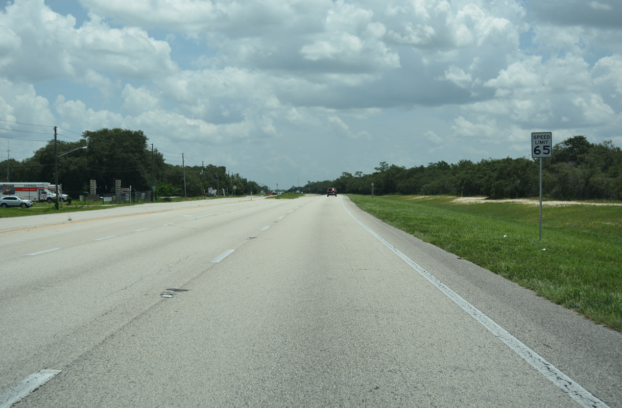
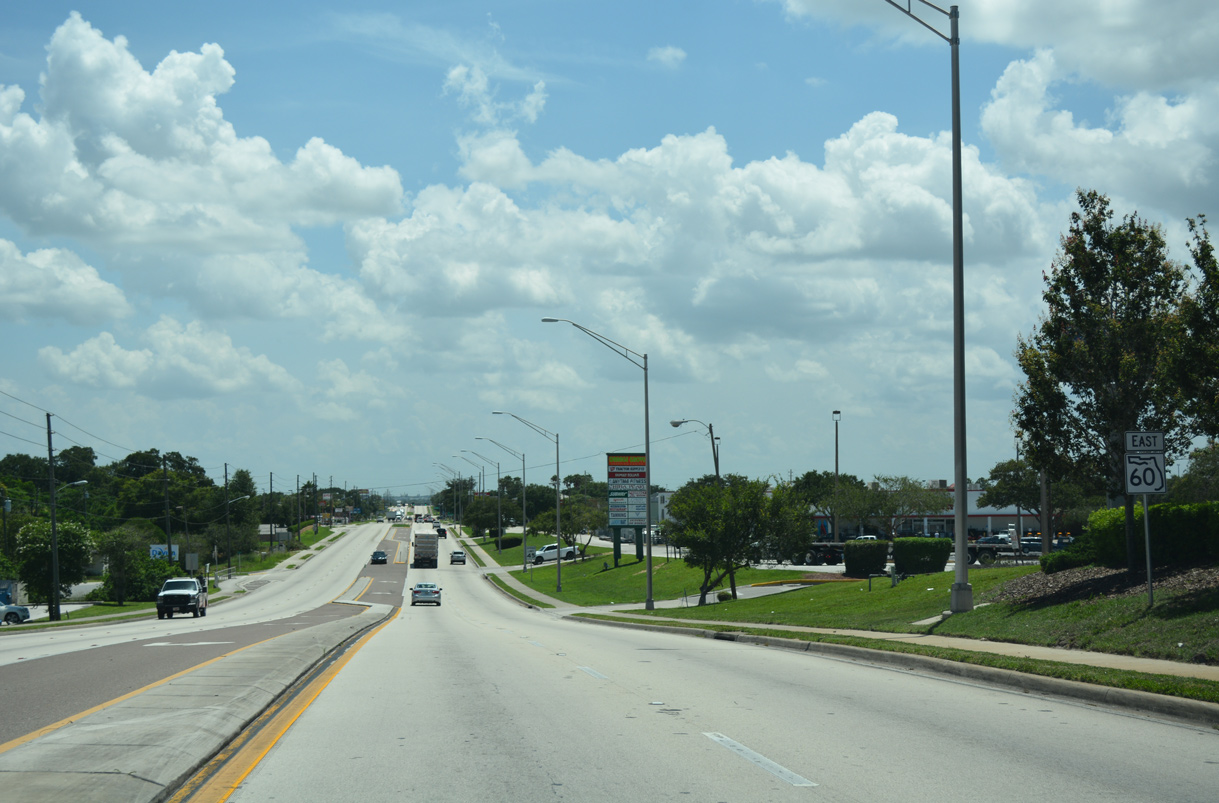
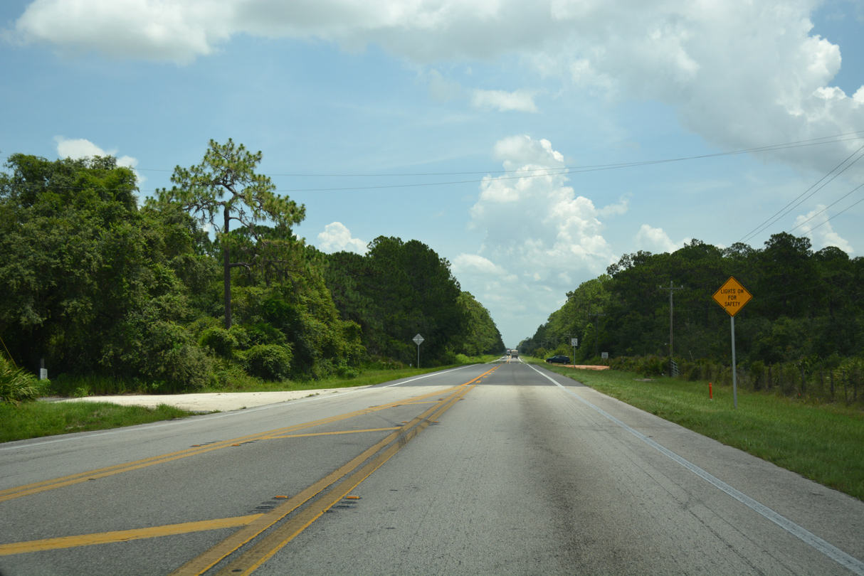
SR 60 opens into a four lane divided highway with a 65 mile per hour speed limit at Capps Road east of Lake Wales.
07/25/17
Passing between Saddlebag Lake and Lake Aurora, SR 60 reaches the settlement of Hesperides.
10/26/19
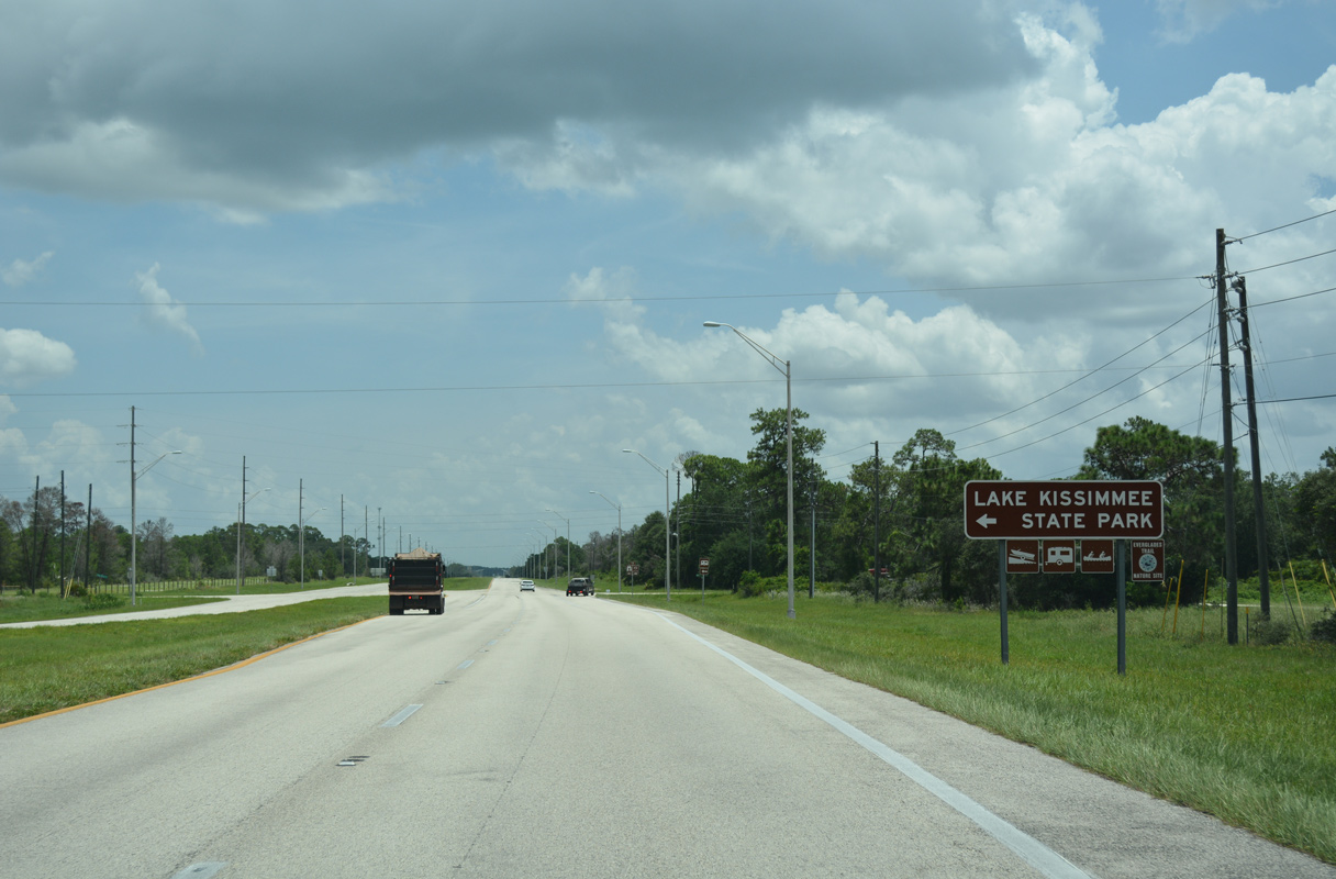
Boy Scout Camp Road stems north from SR 60 through Lake Wales Ridge National Wildlife Refuge to Barney Keen Road. Lake Kissimmee State Park lies further northeast via Barney Keen and Camp Mack Roads.
07/25/17
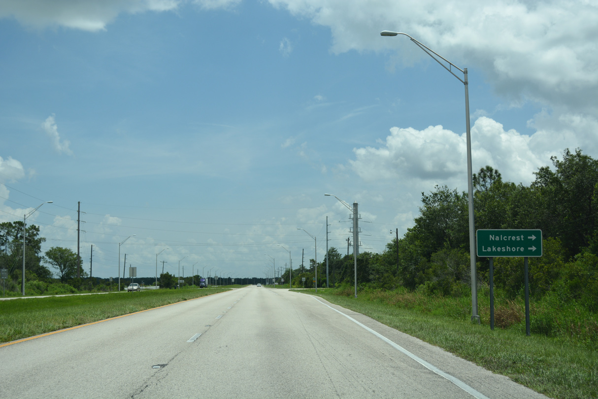
Doherty Drive leads south from SR 60 to Leisure Lane for the Nalcrest and Lakeshore communities.
07/25/17
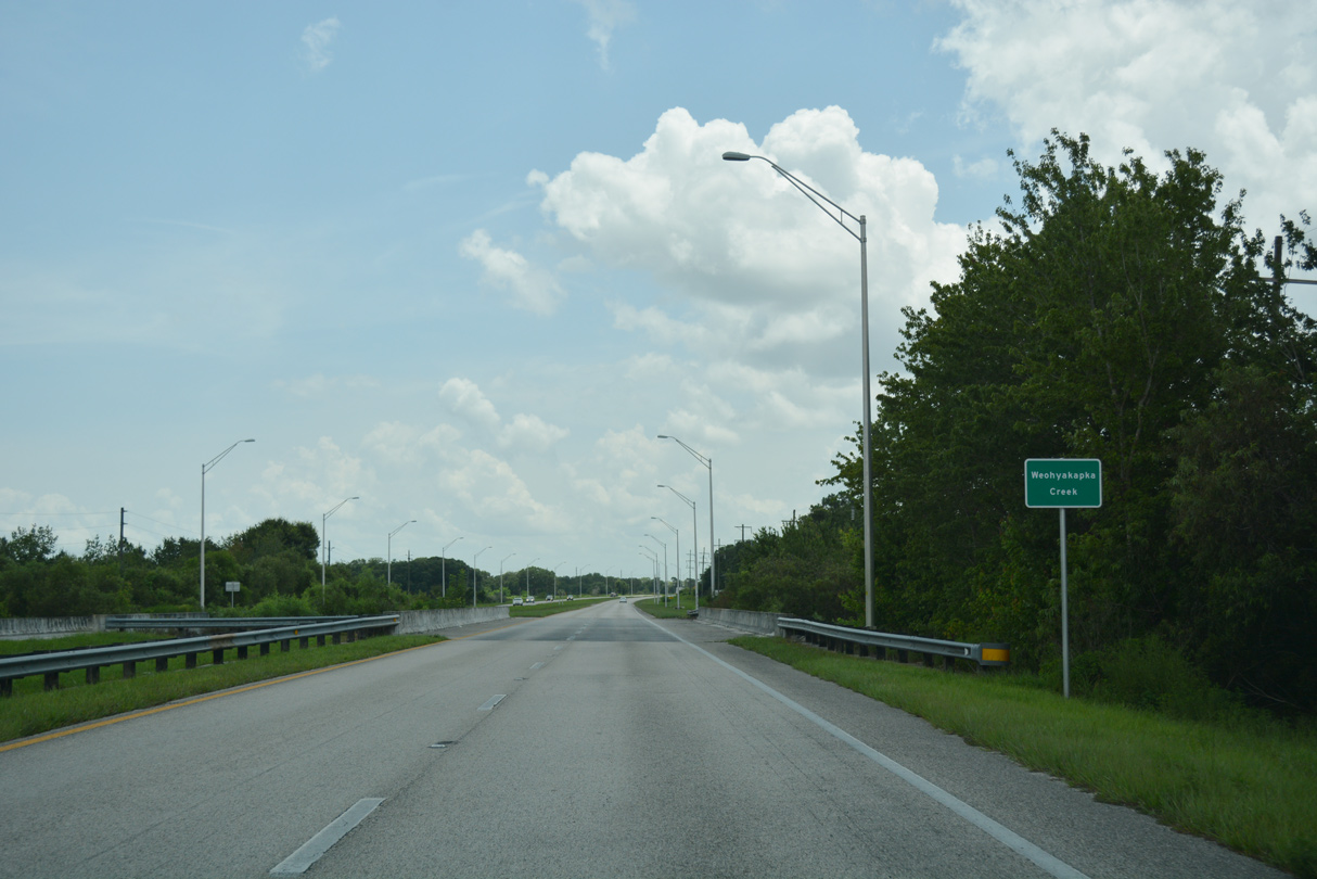
SR 60 navigates along a gradual southeasterly curve east from Doherty Drive to Weohyakapka Creek.
07/25/17
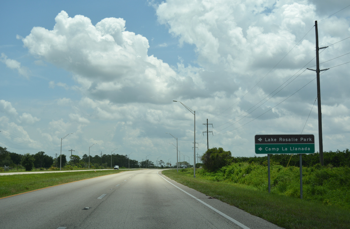
Tiger Lake Road spurs north from SR 60 to Camp La Llanada. Rosalie Lake Road branches westward to Lake Rosalie Park.
07/25/17
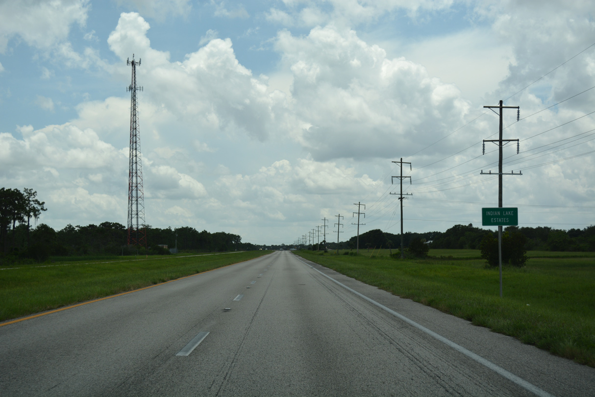
Angling southeast, SR 60 runs along the east side of the Indian Lake Estates street grid. The community spreads westward to Lake Weohyakapka.
07/25/17
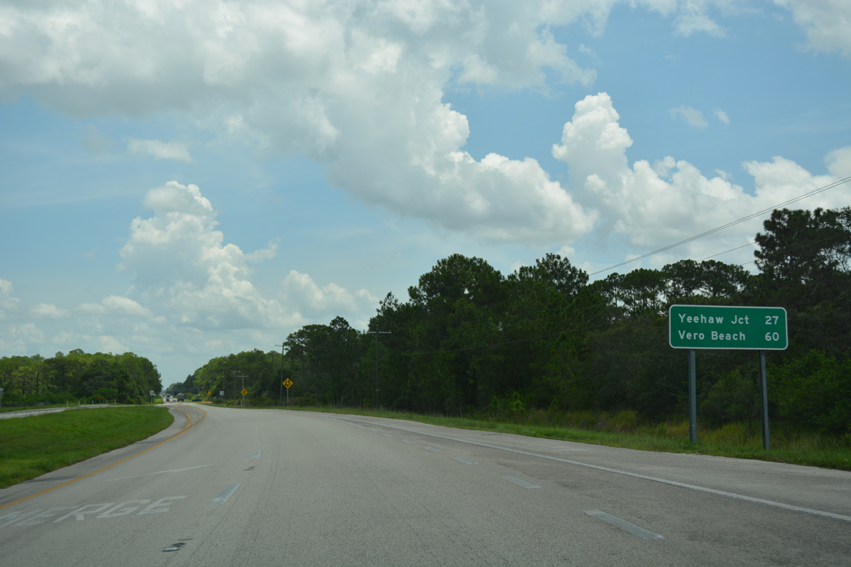
Unmarked along eastbound, CR 630 converges with SR 60 at Indian Lake Estates, 14.3 miles east of SR 17 at Frostproof.
07/25/17
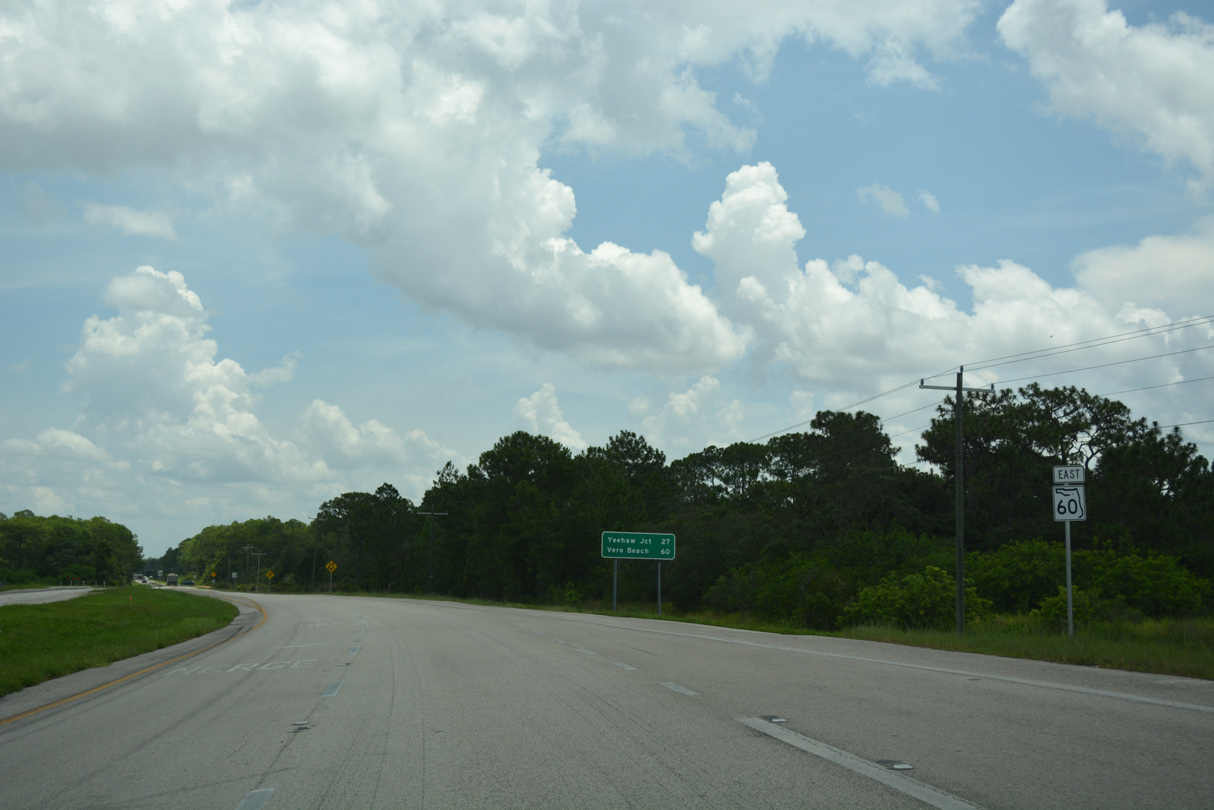
The four lane section of SR 60 concludes just east of CR 630 and 27 miles ahead of U.S. 441 and Florida's Turnpike at Yeehaw Junction.
07/25/17
SR 60 bee lines east across timber and wetlands from Indian Lake Estates to Buttermilk Slough and Ute Hammock.
07/25/17
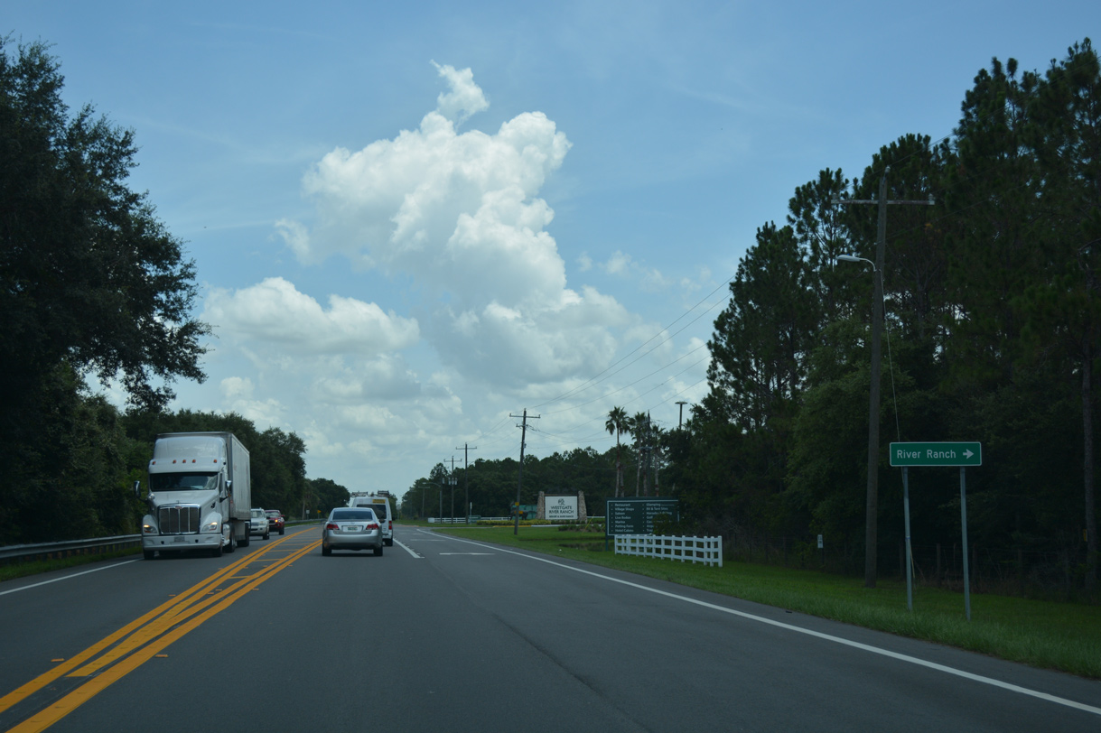
River Ranch Boulevard winds southward from SR 60 to the River Ranch community, located west of the Kissimmee River.
07/25/17

SR 60 advances one mile east from River Ranch Boulevard to the Osceola County line.
07/25/17
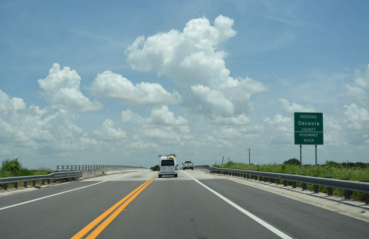
Crossing into Osceola County, SR 60 spans southern reaches of Lake Kissimmee north of the channelized Kissimmee River.
07/25/17
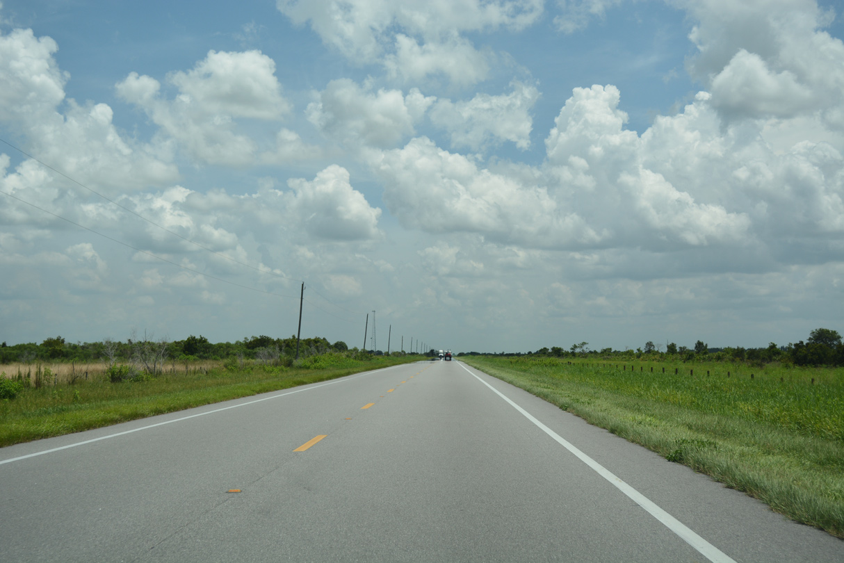
East from the Kissimmee River, SR 60 travels 21.89 miles across southern Osceola County.
07/25/17

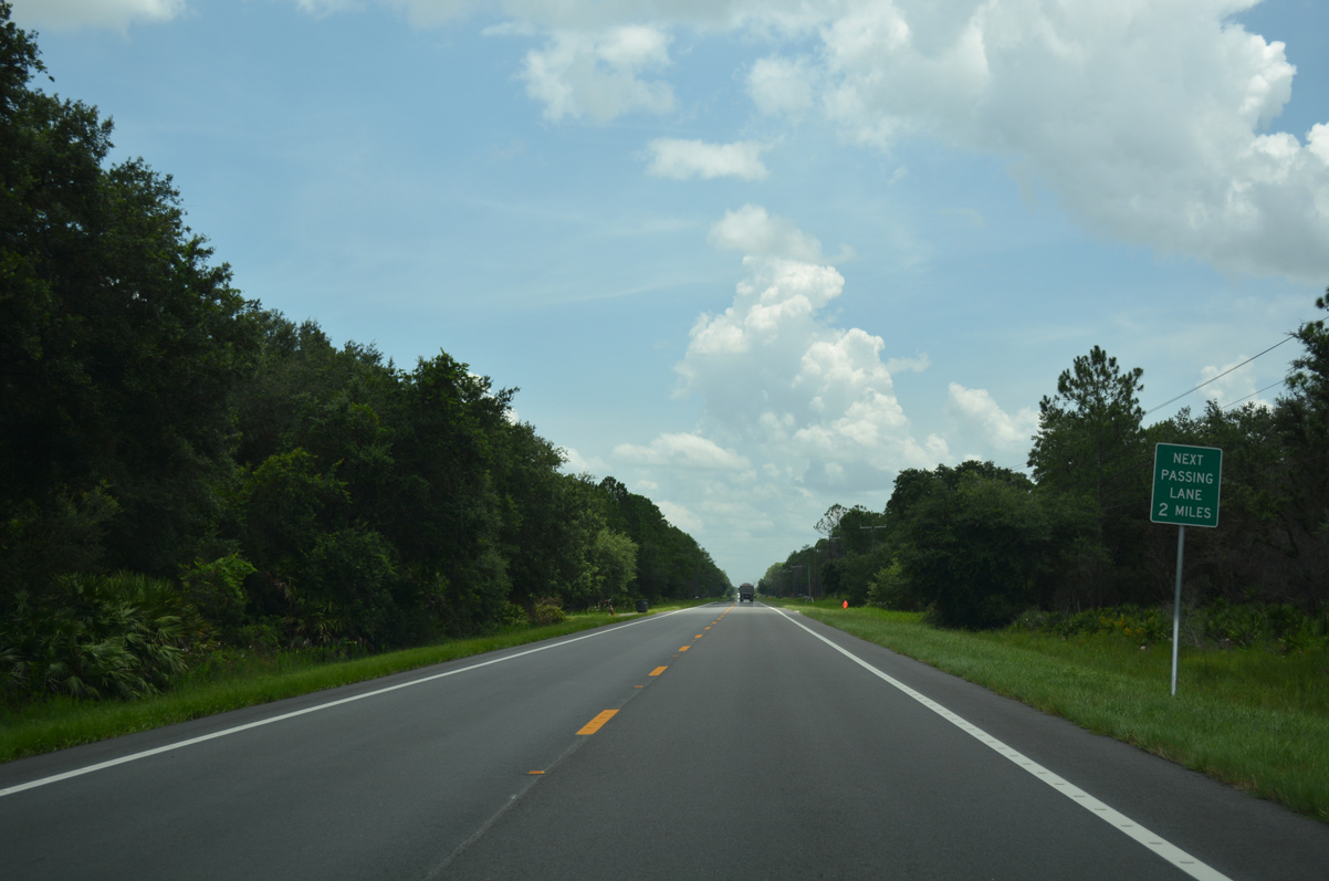
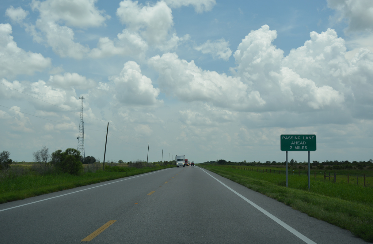
Turning southeast from Turkey Hammock, a passing lane opens along SR 60 eastbound.
07/25/17
Reassurance marker posted east of Blanket Bay Slough.
07/25/17
SR 60 bee lines along El Maximo Ranch southeast to Peavine Road.
07/25/17
Beyond Peavine Road, SR 60 travels through the proposed 41,300 acre Destiny development. Once proposed for over 200,000 residents, the project stalled in 2010 due to lawsuits and opposition.2
07/25/17
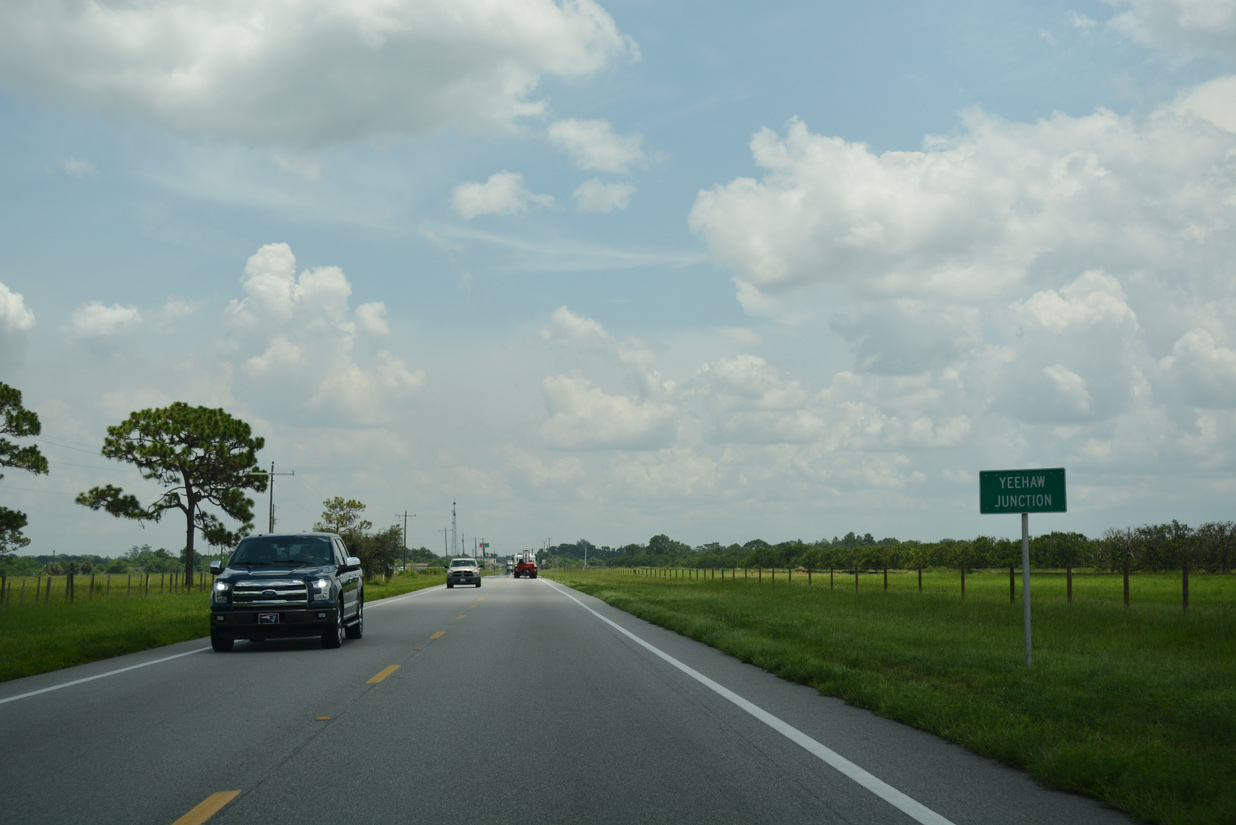
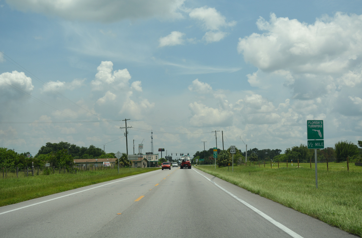
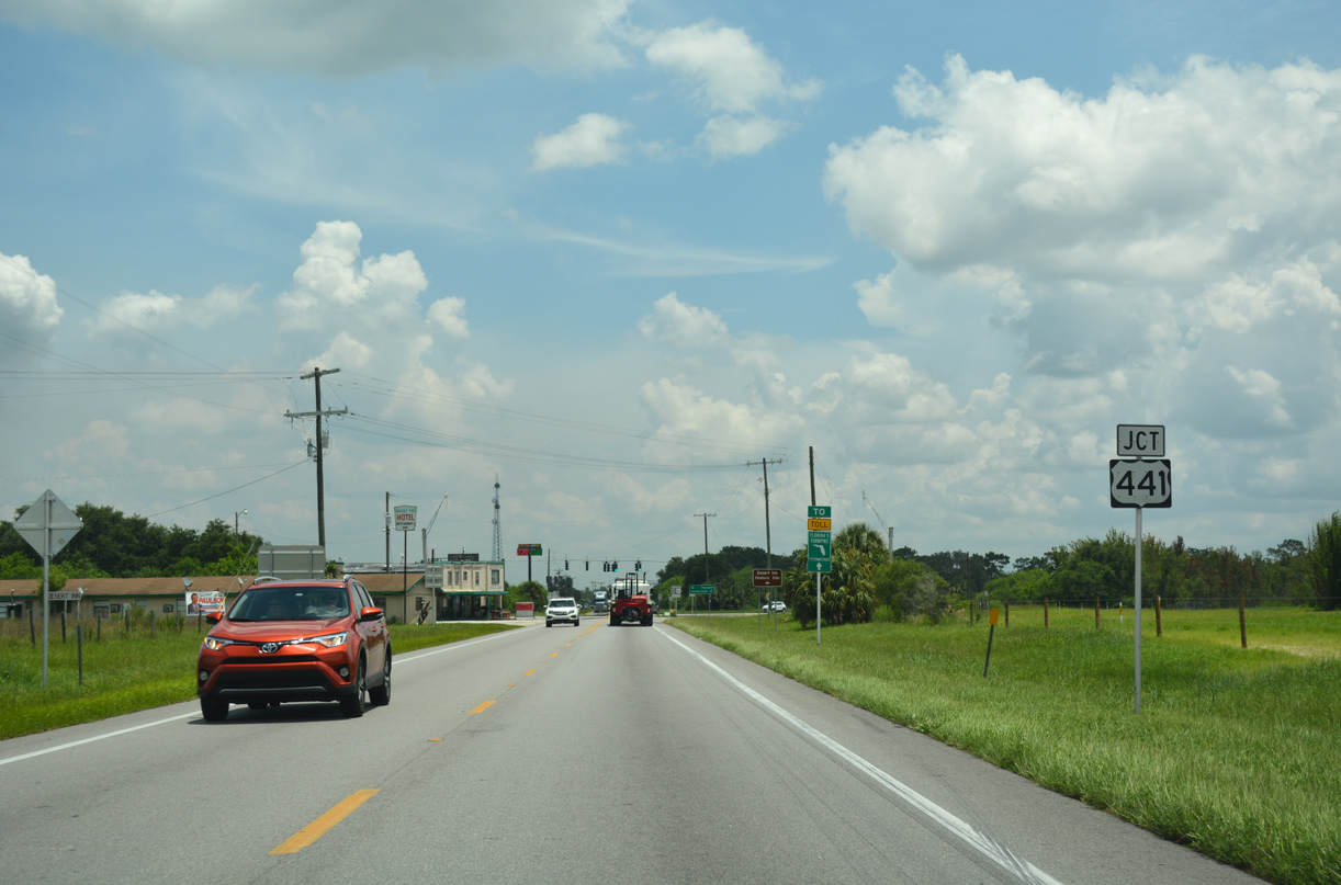
A rural community of around 240, Yeehaw Junction lies at the crossroads of SR 60 with both U.S. 441 and Florida's Turnpike.
07/25/17
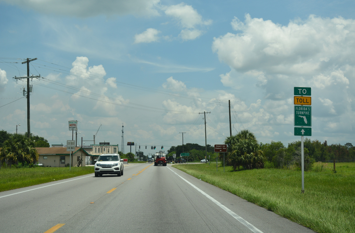
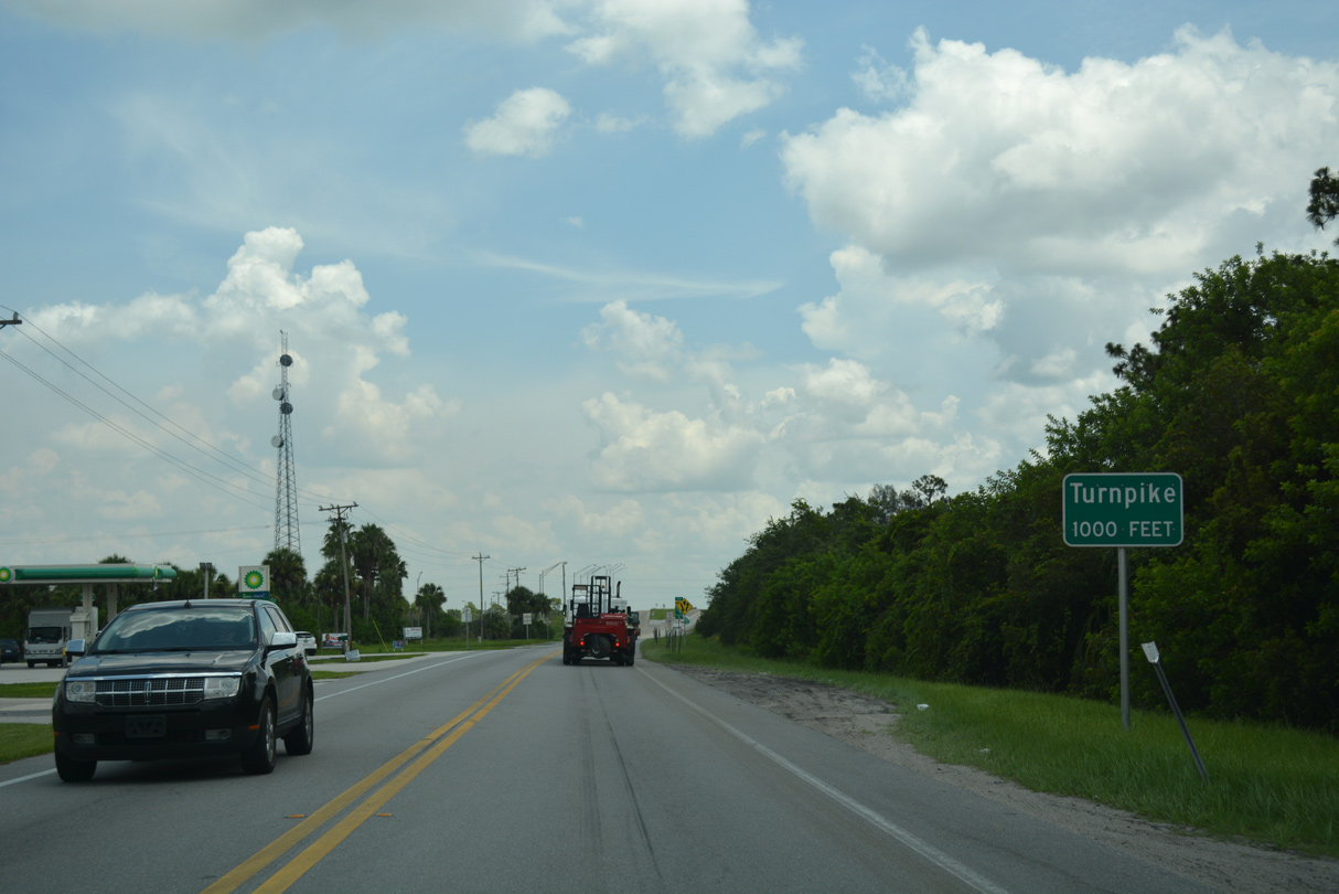
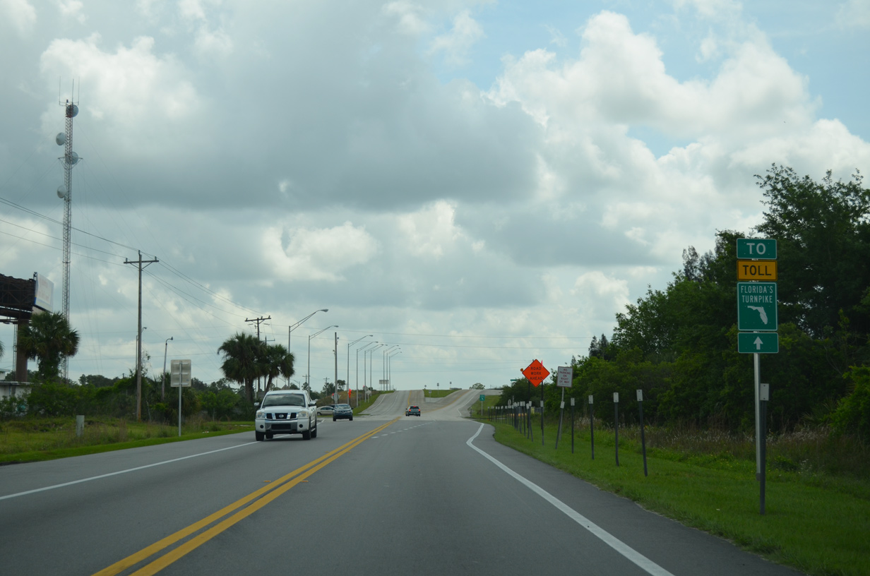
The entrance ramp for Florida's Turnpike lies just four tenths of a mile beyond U.S. 441 and the Historic Desert Inn along SR 60.
07/25/17
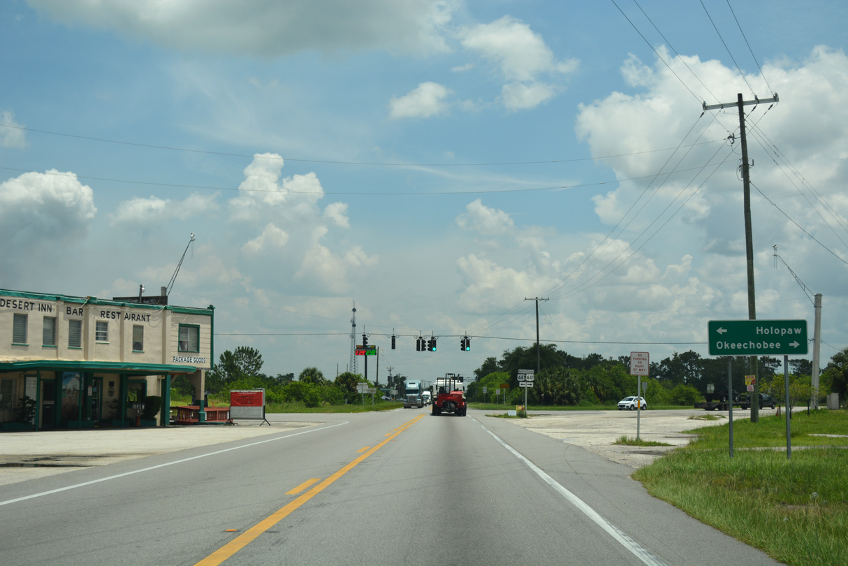
U.S. 441 through southern Osceola County navigates along a rural course north to U.S. 192 at Holopaw and south into Okeechobee County en route to U.S. 98 and SR 70 at Okeechobee.
07/25/17
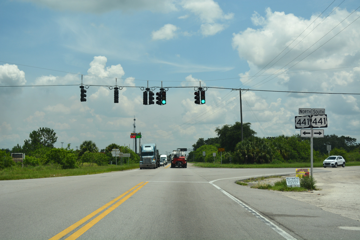
U.S. 441 parallels Florida's Turnpike northward toward St. Cloud and southward from Royal Palm Beach to Miami Gardens.
07/25/17
A handful of traveler services line SR 60 between U.S. 441 and Florida's Turnpike (SR 91).
07/25/17
Coupled with a resurfacing project along U.S. 441, work slated for 2021 expands SR 60 by 12 feet, with the addition of a continuous center turn lane from U.S. 441 to Florida's Turnpike.3
04/15/16
The $3 million improvement project along SR 60 at Yeehaw Junction in 2021 adds traffic lights at the intersection with the Turnpike access road.3
07/25/17
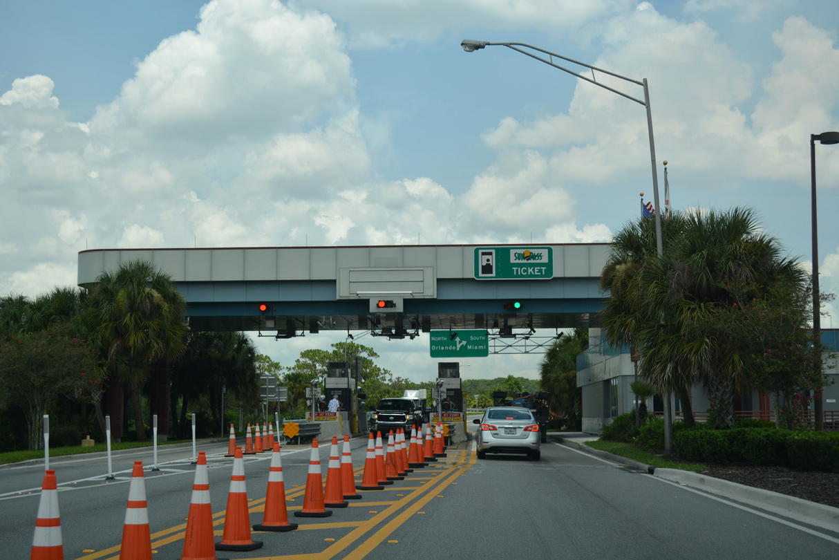
Yeehaw Junction Toll Plaza
07/25/17

Florida's Turnpike joins South Florida with Orlando and I-75 north from Wildwood.
07/25/17
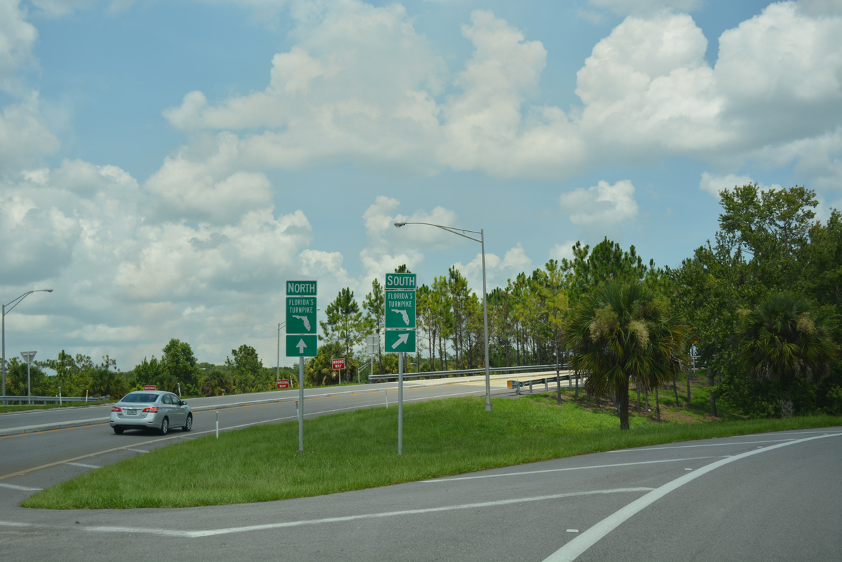
Yeehaw Junction lies midway along an 87 mile exit less stretch along Florida's Turnpike between Kissimmee Park Road at St. Cloud and SR 70 at Fort Pierce.
07/25/17
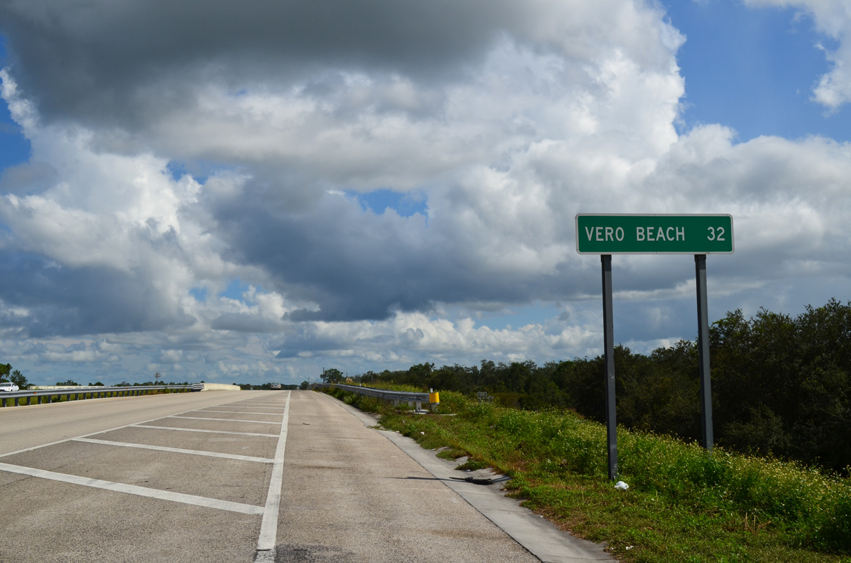
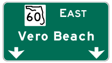
SR 60 travels 32 miles east from Florida's Turnpike to U.S. 1 at the Vero Beach city center.
10/01/15
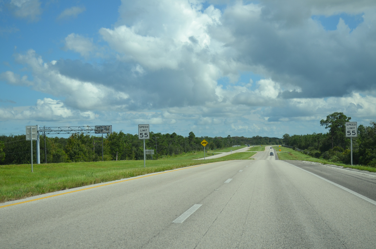
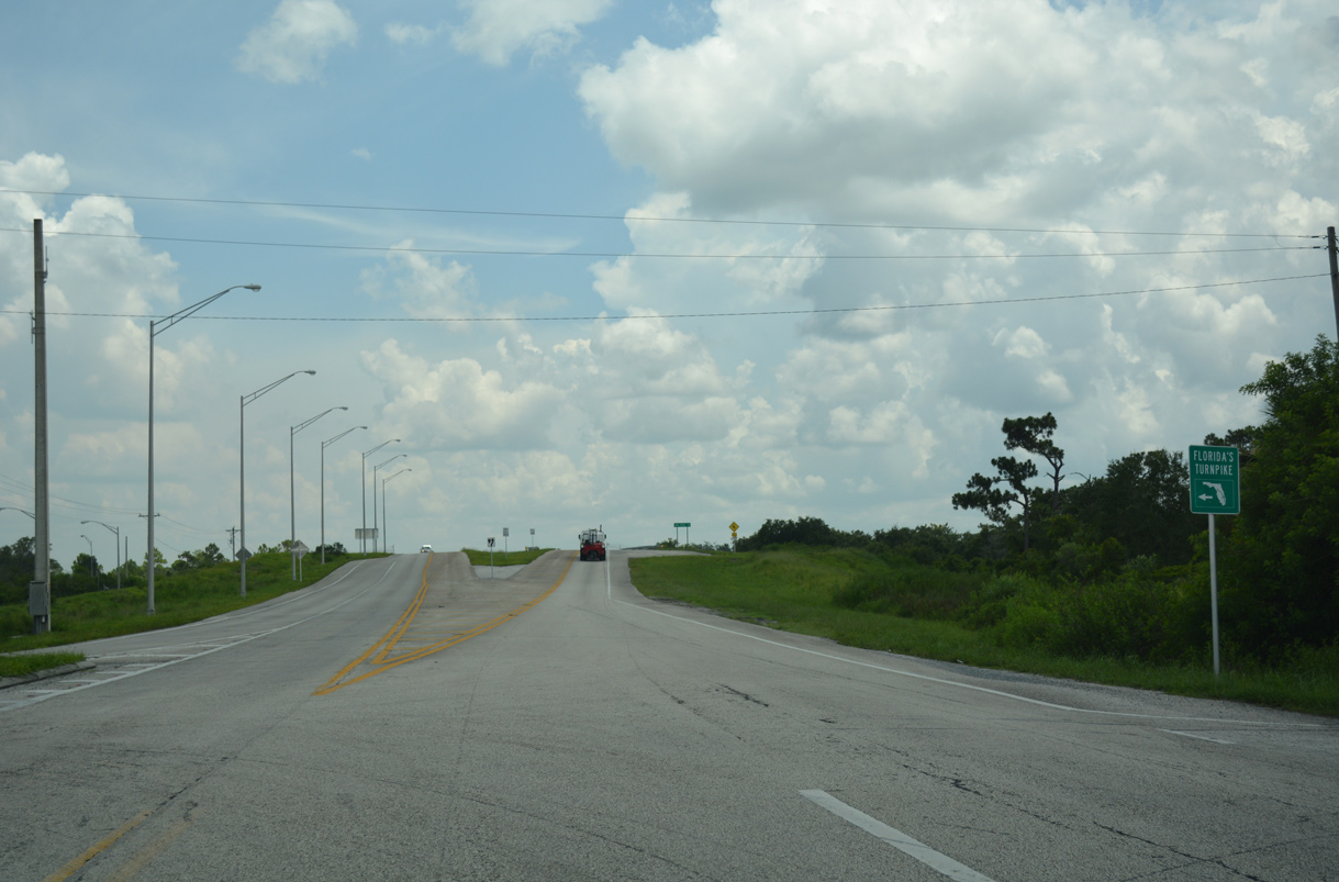
Leading away from the Turnpike and Yeehaw Junction, SR 60 expands into a four lane, divided highway.
10/01/15
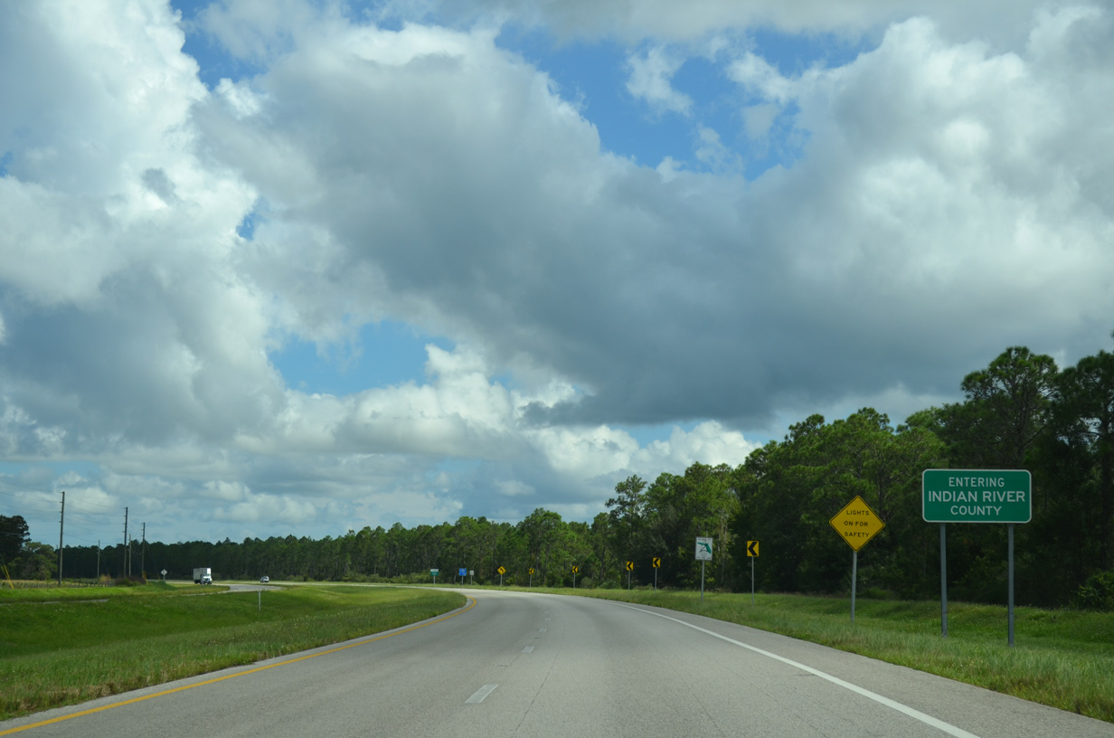
SR 60 makes an S-curve east from Cow Log Branch into western Indian River County.
10/01/15

References:
- "Polk transportation board urges FDOT expansion of State Road 60." Ledger, The (Lakeland, FL), August 11, 2019.
- Destiny, Florida. Wikipedia.
- SR 60 from east of SR 15 (US 441) to west of SR 91 (Florida Turnpike) - Project 441036-1. Florida Department of Transportation (FDOT), project web site. Accessed October 16, 2019.
Photo Credits:
- Alex Nitzman: 10/01/15, 07/25/17, 10/26/19
- Brent Ivy: 04/15/16
Connect with:
Page Updated Wednesday November 20, 2019.