
State Road 64 East - Lakewood Ranch to Zolfo Springs
 East
East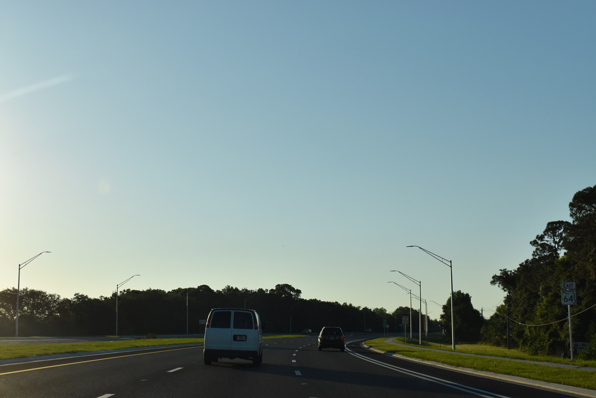
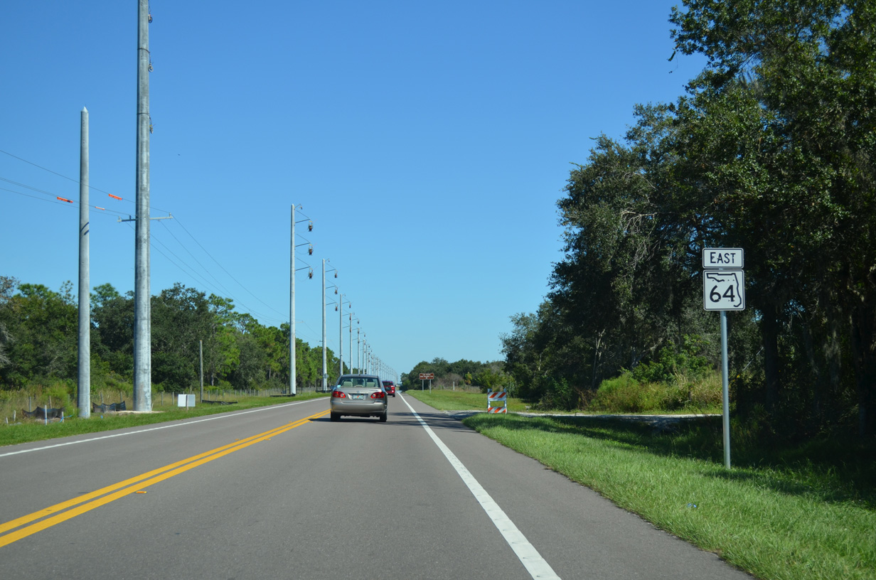
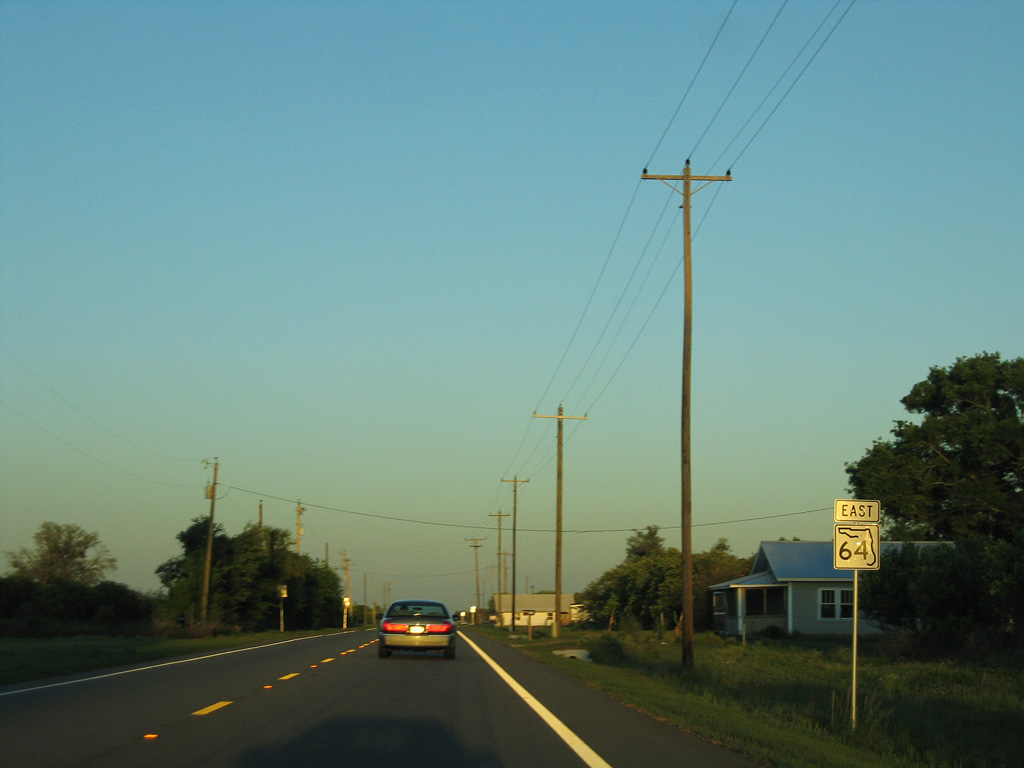
The confirming marker for SR 64 posted east of Interstate 75 was removed sometime in 2019.
05/18/19
05/18/19
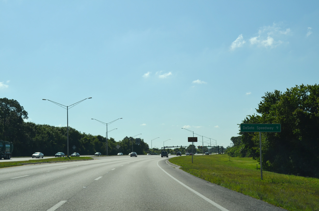
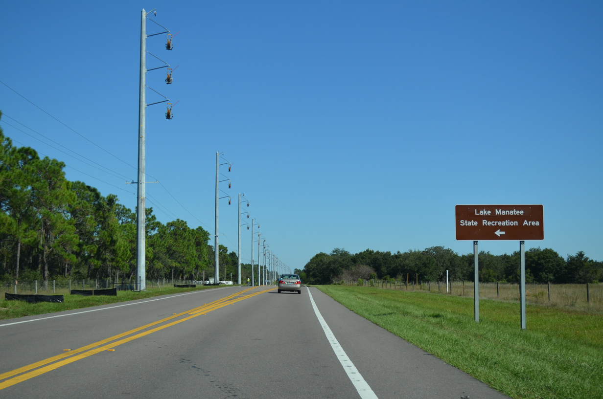
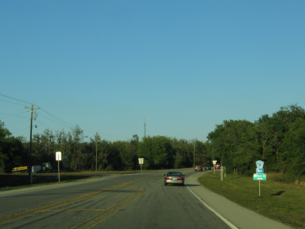
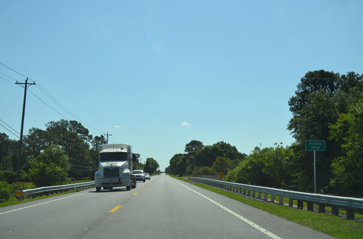
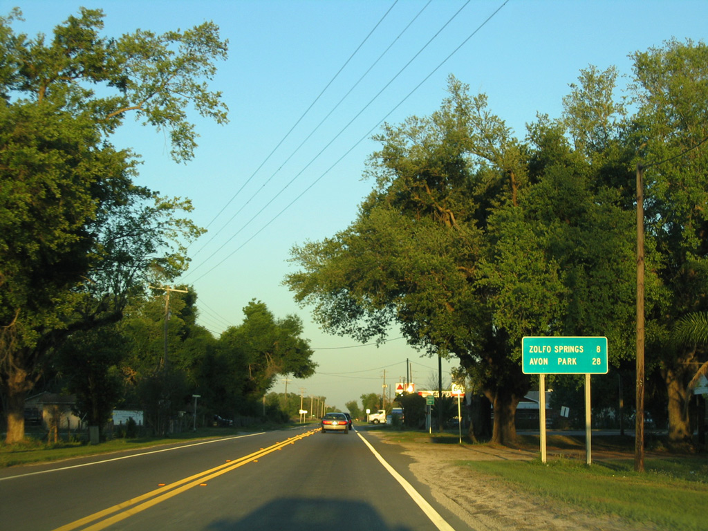
DeSoto Speedway is the lone entry on the distance sign posted east of Interstate 75 on SR 64.
04/26/14
04/26/14
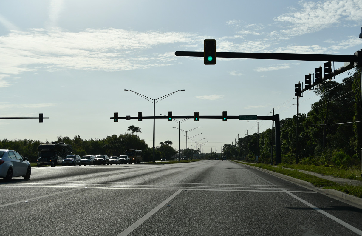
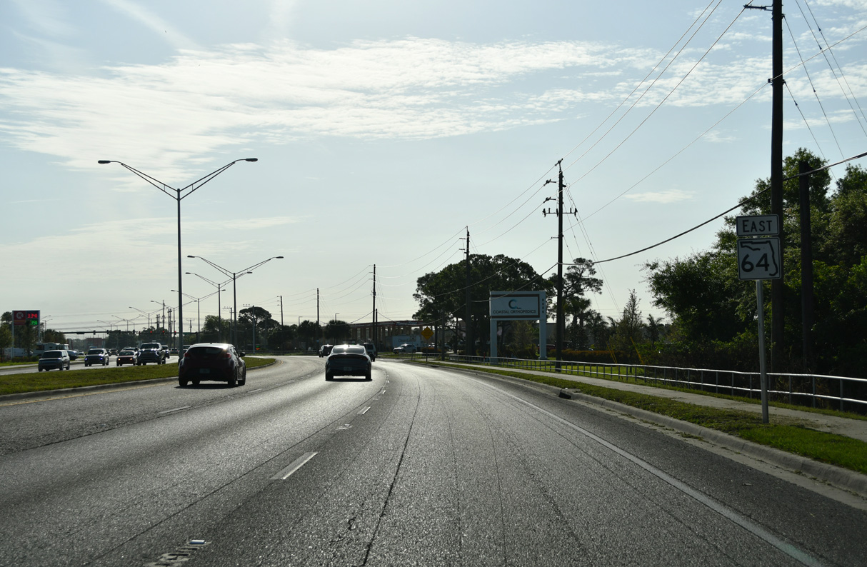
Grand Harbour Parkway is the first of several multi lane boulevards feeding into SR 64 from the Lakewood Ranch community.
03/13/24
03/13/24
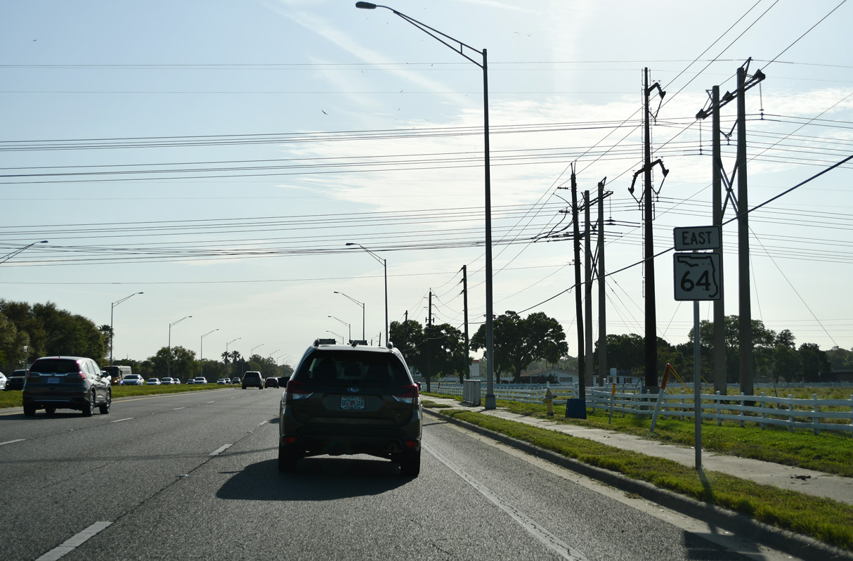
Reassurance marker posted east of River Heritage Boulevard.
03/13/24
03/13/24
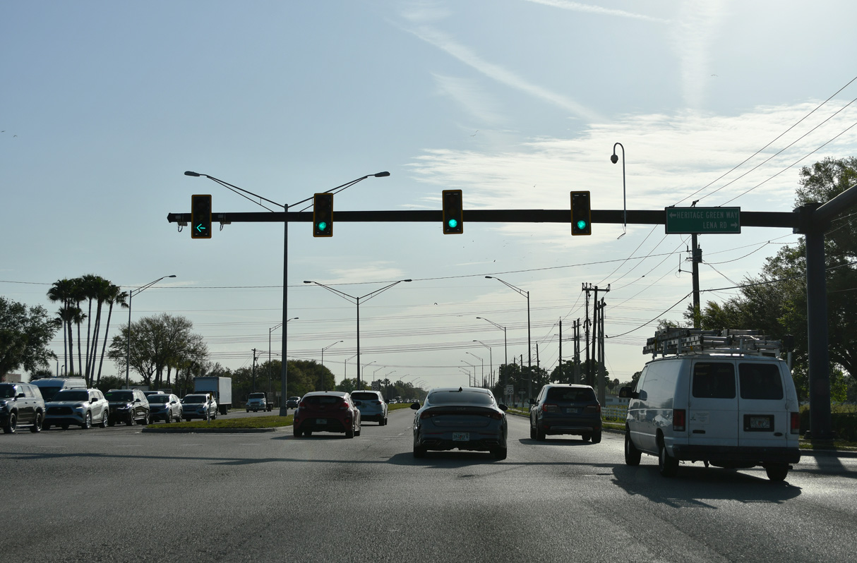
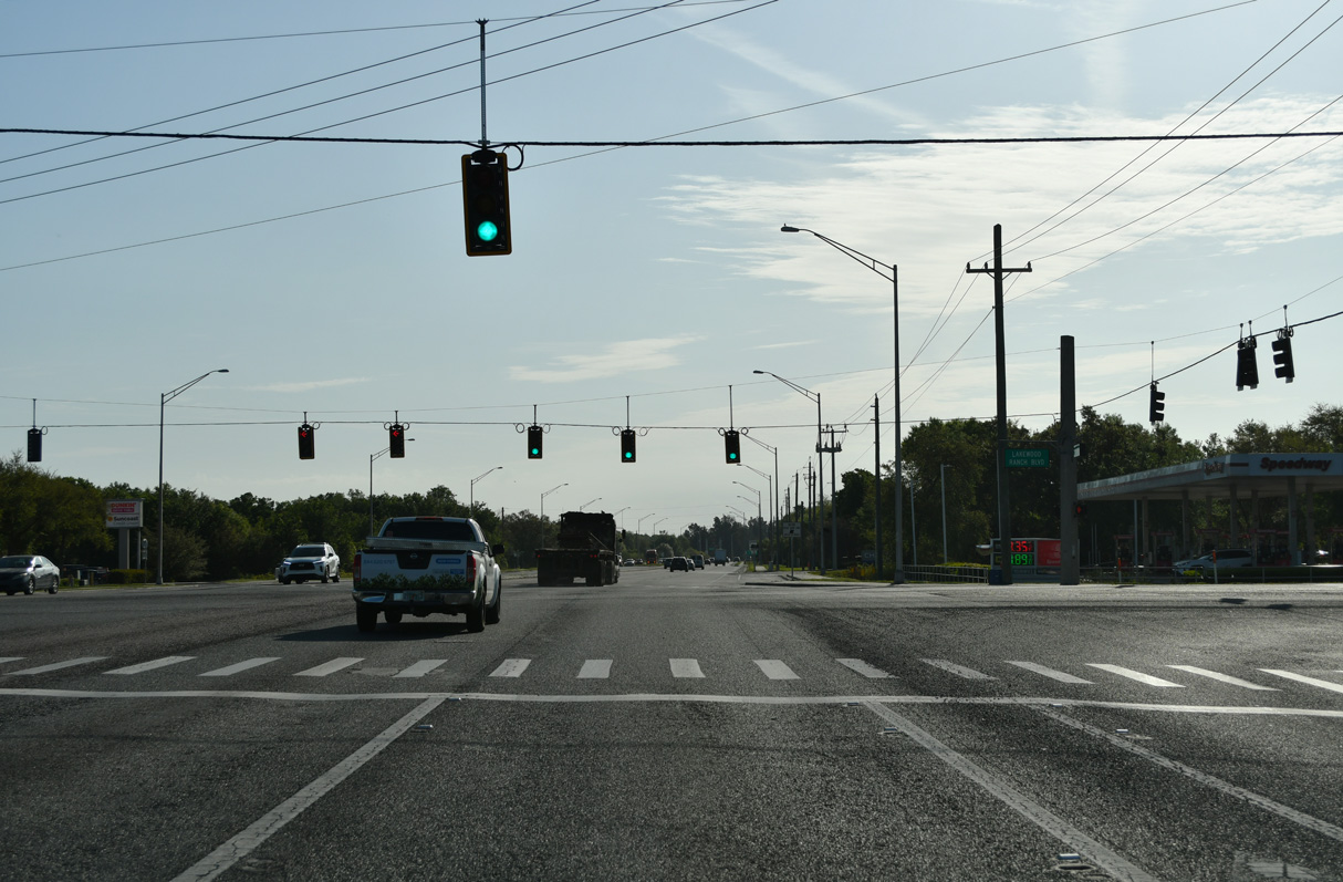
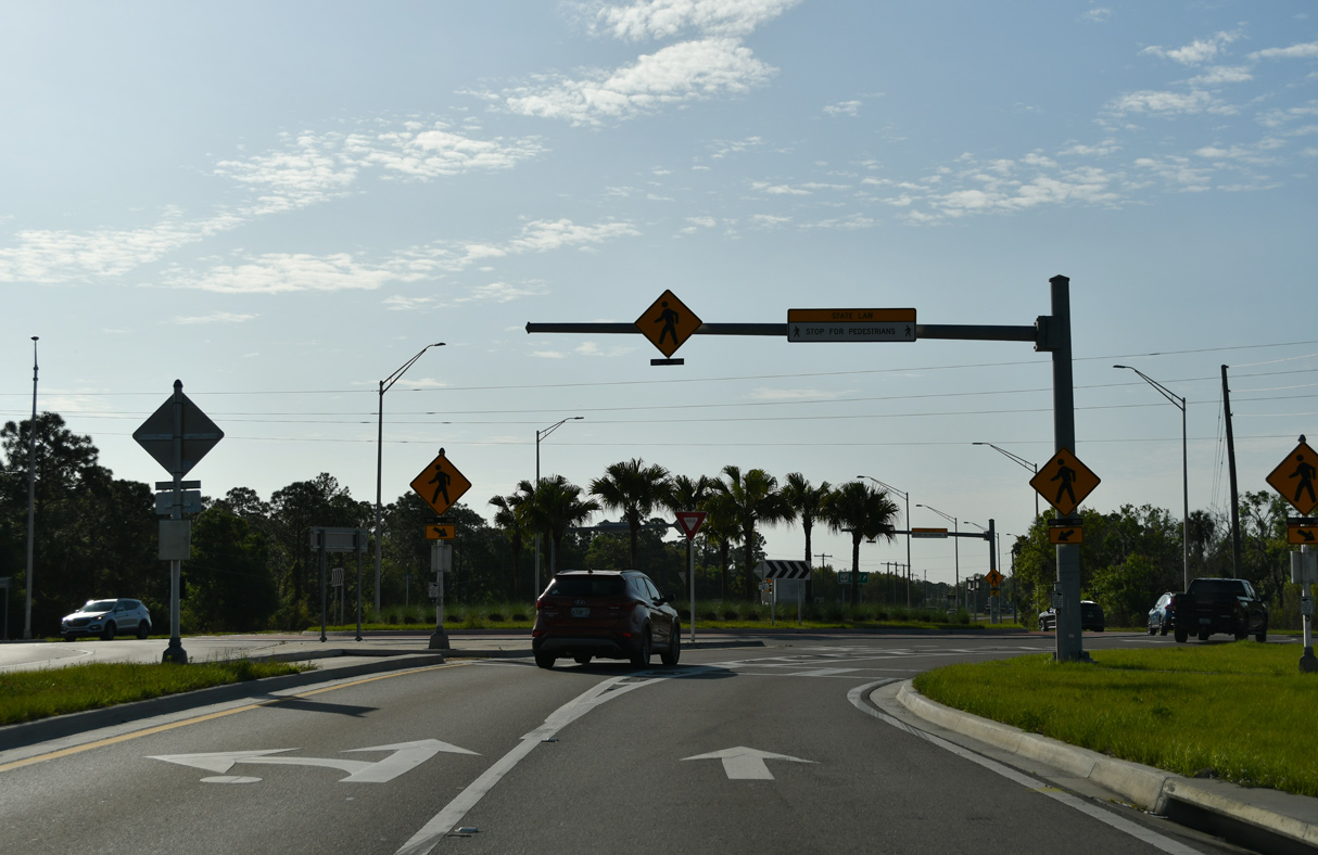
Lena Road north and Heritage Green Way south come together at the succeeding traffic light along SR 64 east in Lakewood Ranch.
03/13/24
03/13/24
03/13/24
03/13/24
Upper Manatee River Road extends north from SR 64 and Lakewood Ranch Boulevard to the Fort Hamer Bridge spanning the Manatee River.
03/13/24
03/13/24
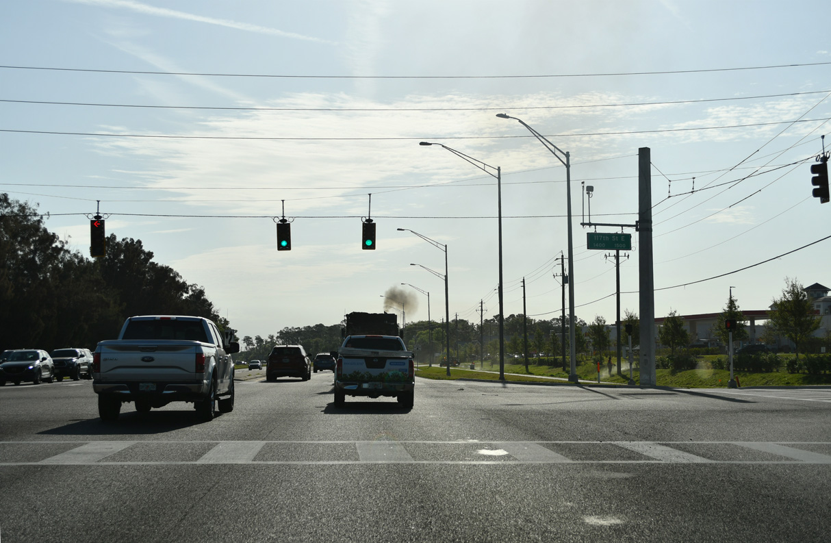
Traffic lights were added along SR 64 at 117th Street E in 2021.
03/13/24
03/13/24
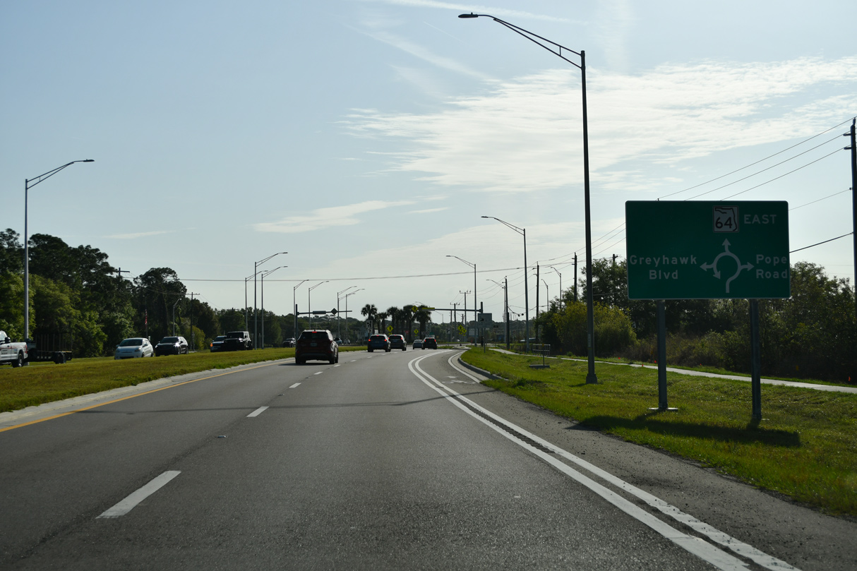
A roundabout was constructed along SR 64 at Pope Road south and Greyhawk Boulevard north in 2020/21.
03/13/24
03/13/24

03/13/24

03/13/24
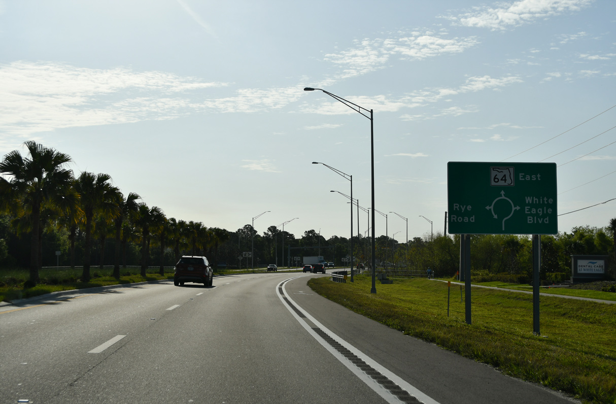
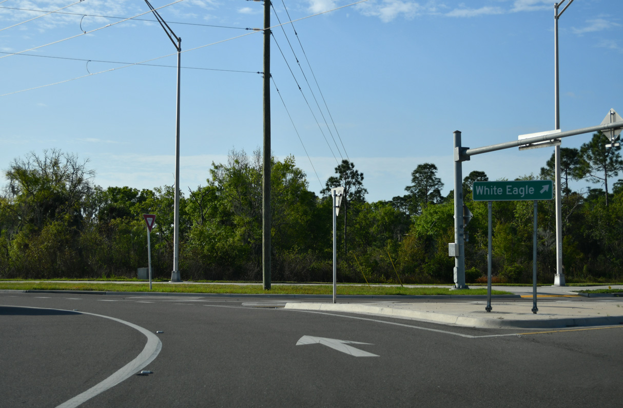
Curving southeast, SR 64 enters a second roundabout with White Eagle Boulevard west and Rye Road north.
03/13/24
03/13/24
The roundabout at Rye Road and White Eagle Boulevard was completed in 2020.
03/13/24
03/13/24
03/13/24
03/13/24
Traffic lights at Lorraine Road south and 145th Street E north in 2019.
03/13/24
03/13/24
A reassurance marker stands beyond the intersection with Dam Road north and Bourneside Boulevard south.
10/17/14
10/17/14
Lake Manatee State Park lines the north side of SR 64 along Lake Manatee.
10/17/14
10/17/14
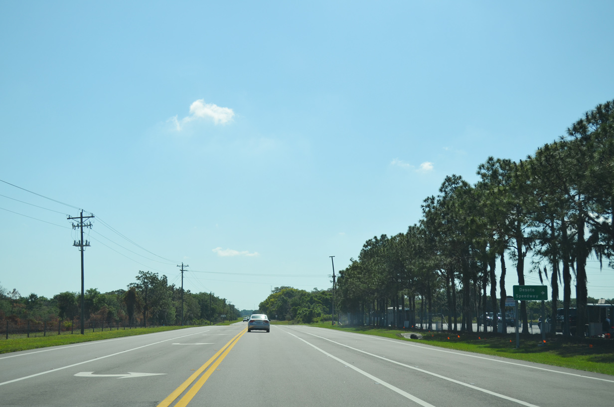
SR 64 east at Bradenton Motorsports Park and DeSoto Speedway.
04/26/14
04/26/14
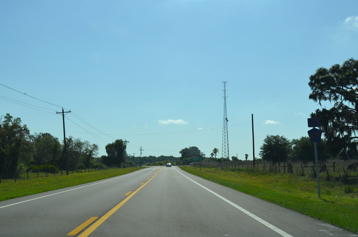
The southern branch of CR 675 (Waterbury Road) runs 5.30 miles south from SR 64 to SR 70.
04/26/14
04/26/14
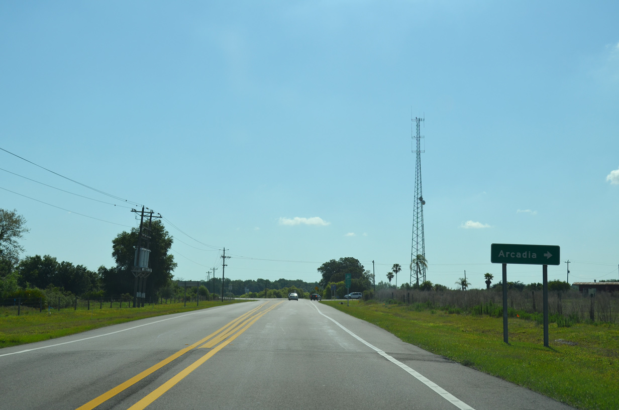
CR 675 south to SR 70 leads to the Desoto County seat of Arcadia.
04/26/14
04/26/14
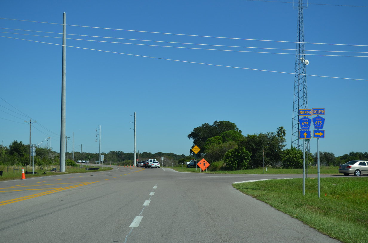
A half mile separates CR 675 south along Waterbury Road with CR 675 north on Rutland Road.
10/17/14
10/17/14
04/26/14
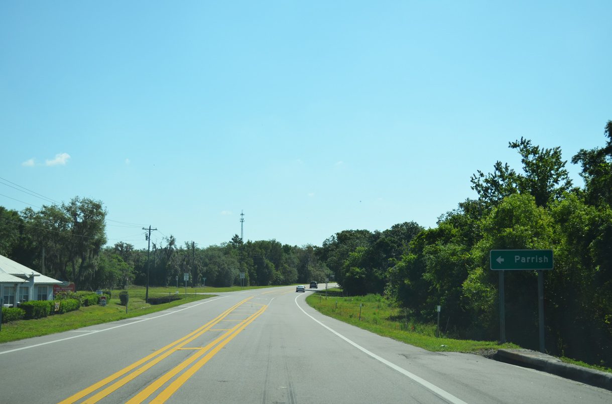
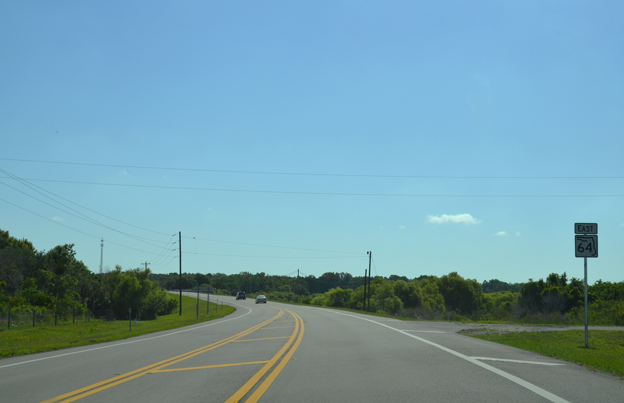
CR 675 arcs 11.14 miles northwest from SR 64 to U.S. 301 near Parrish.
04/26/14
04/26/14
The northern leg of CR 675 along Rutland Road was formerly acknowledged along SR 64 eastbound.
03/24/06
03/24/06
04/26/14
04/26/14
04/26/14
04/26/14
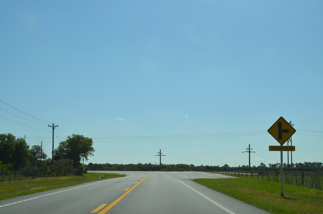
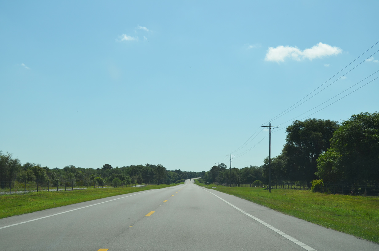
Paralleling the Myakka River, Wauchula Road meanders southwest 10.39 miles to SR 70 at Myakka City.
04/26/14
04/26/14
Duette Road stems 10.01 miles north from SR 64 at Myakka Head to SR 62 near Duette.
04/26/14
04/26/14
06/30/14
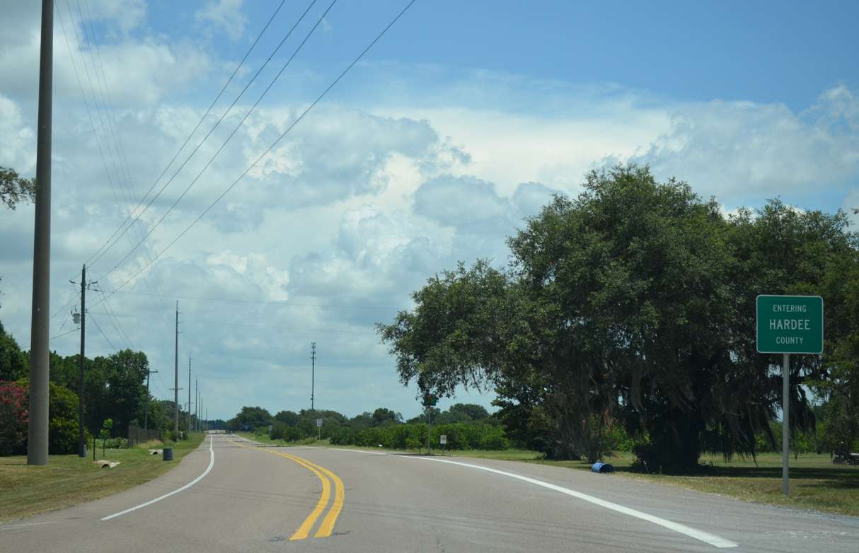
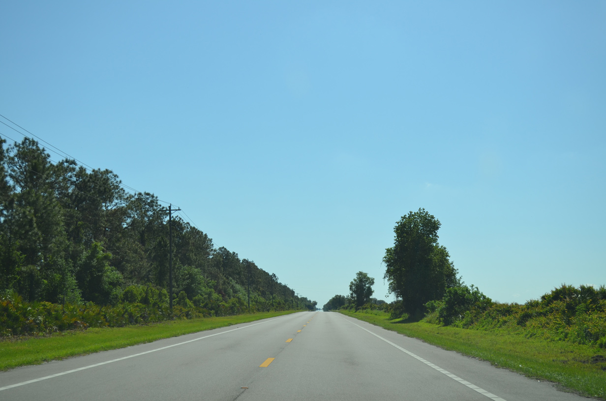
Curving northward, SR 64 east enters Hardee County.
06/30/14
06/30/14
06/30/14
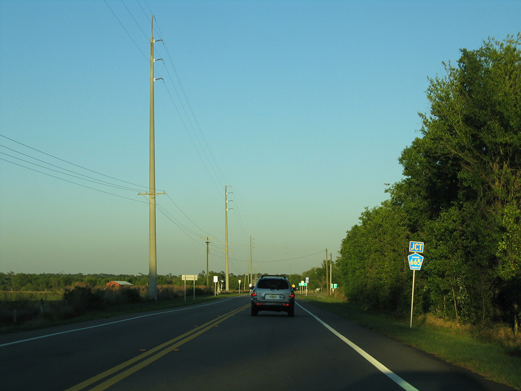
CR 665 arcs southeast 13.84 miles from SR 64 to Lily and CR 663 near the unincorporated community of Limestone.
03/24/06
03/24/06
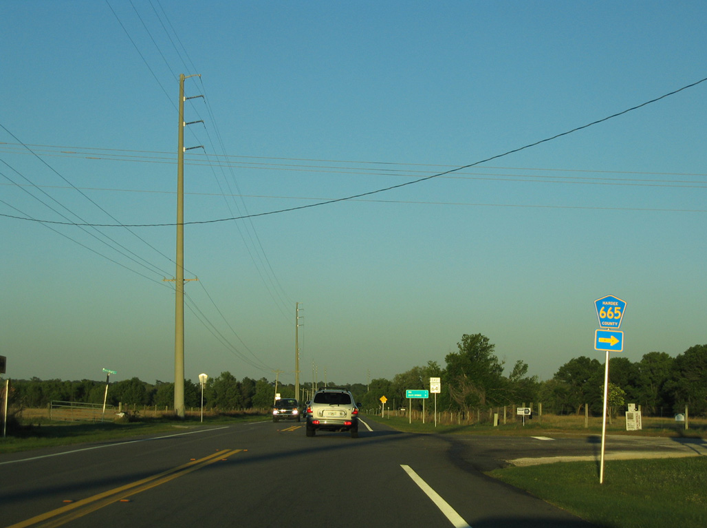
03/24/06
03/24/06
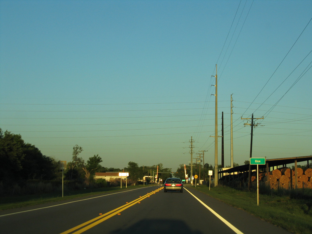
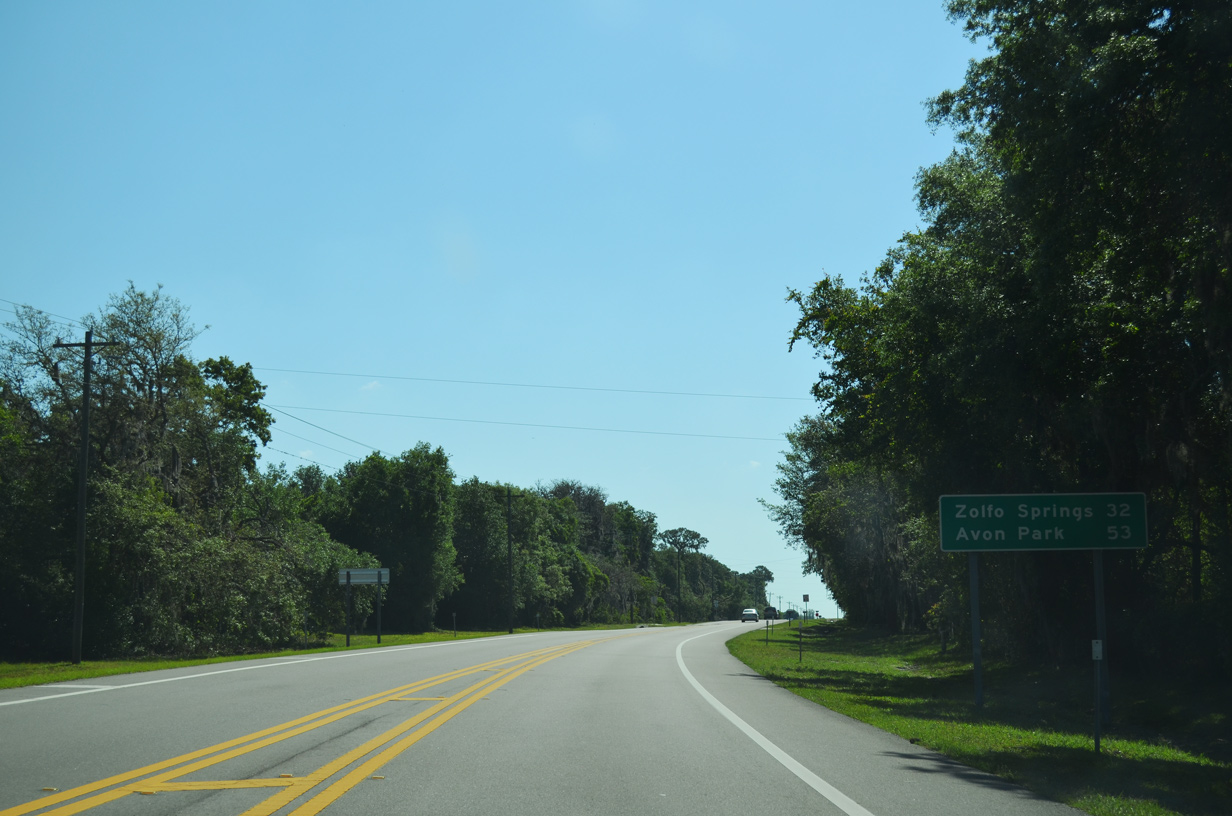
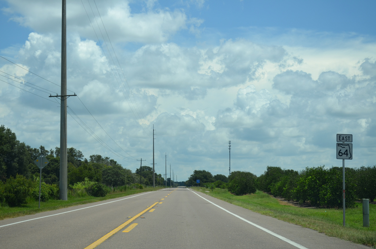
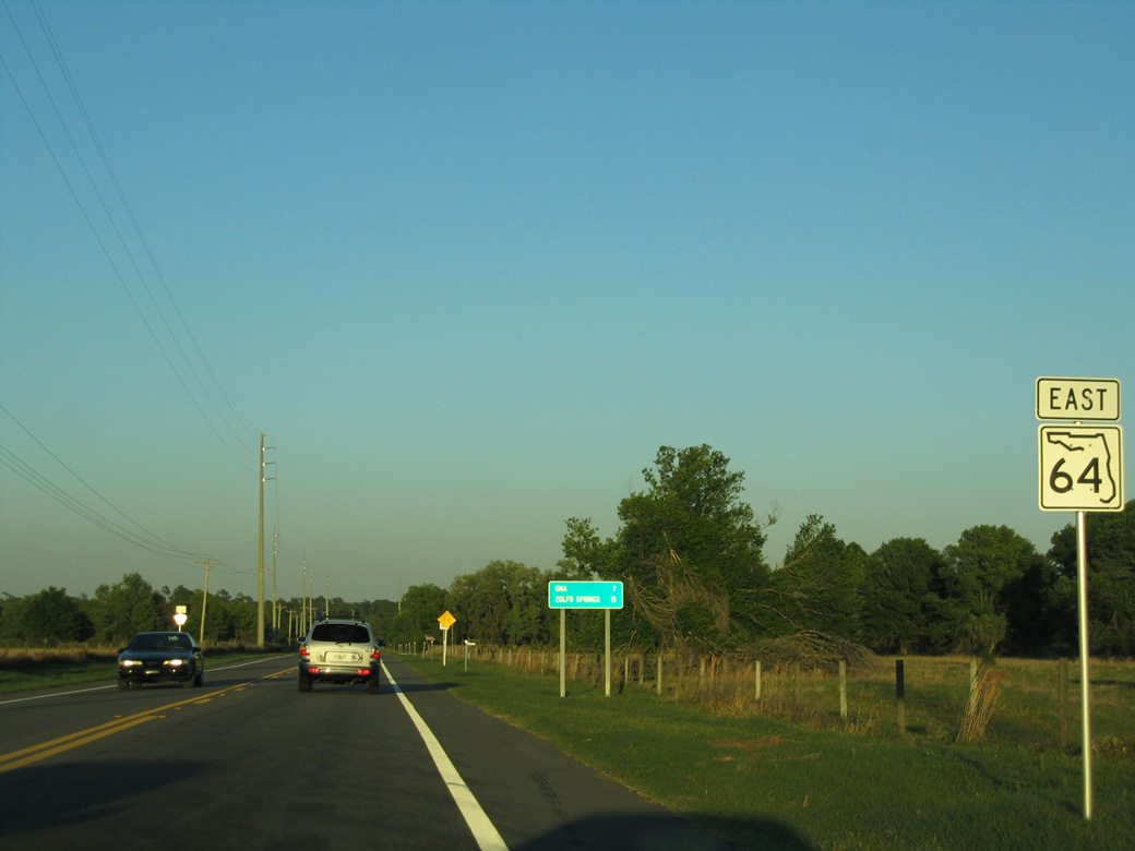
SR 64 advances east across western Hardee County to the unincorporated community of Ona.
03/24/06
03/24/06
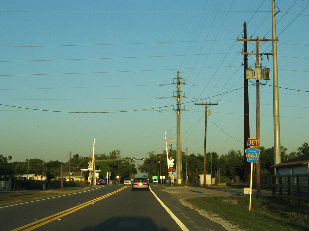
Paralleling a CSX Railroad line through Ona, CR 663 heads 8.70 miles south from SR 64 to CR 661 at Limestone.
03/24/06
03/24/06
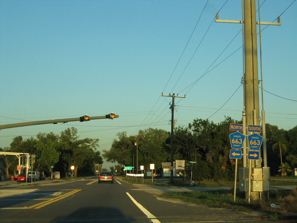
North from SR 64 and Ona, CR 663 continues 7.85 miles to SR 62 at Fort Green Springs.
03/24/06
03/24/06
03/24/06
Meeting SR 64 ahead of this reassurance marker removed by 2021, Murphy Road (unsigned CR 661) connects SR 64 with CR 663 at Limestone, 9.33 miles to the south.
03/24/06
03/24/06

Unsigned CR 64A loops northeast 6.74 miles from SR 64 ahead of this shield assembly to U.S. 17 and SR 636 in Downtown Wauchula.
03/24/06
03/24/06
S Florida Avenue (unsigned CR 35A) stems 2.67 miles north from SR 64 into Wauchula.
03/24/06
03/24/06
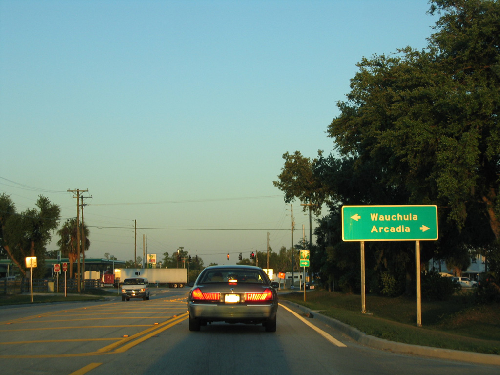
SR 64 enters the town of Zolfo Springs beside Pioneer Park. Advancing east, the state road meets U.S. 17.
03/24/06
03/24/06
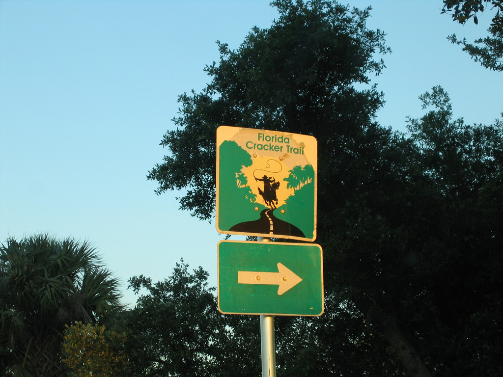
The Florida Cracker Trail turns south along U.S. 17 at Zolfo Springs.
03/24/06
03/24/06


Photo Credits:
- ABRoads: 04/26/14, 06/30/14, 10/17/14, 05/18/19
- Alex Nitzman: 03/24/06, 10/17/14, 03/13/24
Connect with:
Page Updated Monday May 13, 2024.