
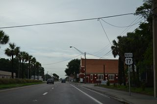
U.S. 17


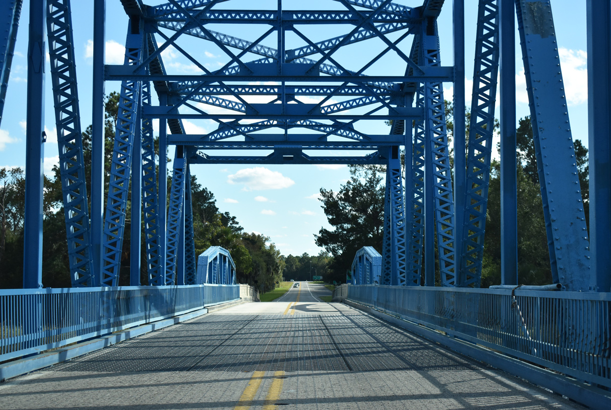
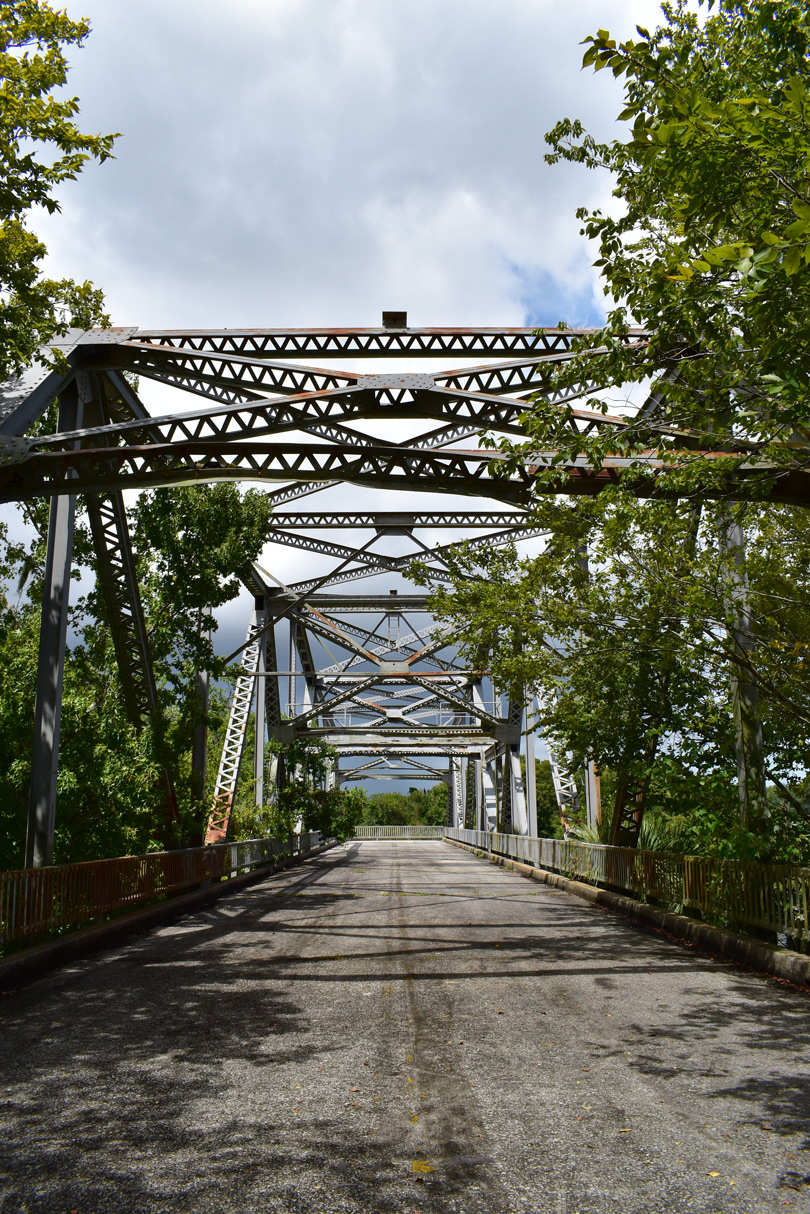
U.S. 17 crosses the St. Mary's River and Florida / Georgia state line over a warren through truss swing bridge dating back to 1927. - 06/14/2008
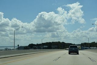
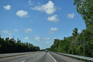
Stretching 317 miles through Florida, U.S. 17 generally travels along the spine and heartland of the Florida peninsula. Though a bit slower travel time than both Interstate 75 and I-4, U.S. 17 provides a more direct link between Southwest Florida, Fort Myers/Cape Coral and Punta Gorda, and greater Orlando metro area. Providing faster and safer travel, expansion projects over time widened all of U.S. 17 from Punta Gorda north to Winter Haven.
Through Kissimmee, Orlando, Sanford and neighboring cities, U.S. 92 accompanies U.S. 17 along Orange Blossom Trail and other heavily congested commercial boulevards. The two split at DeLand with U.S. 17 returning to a rural setting en route to Palatka and Green Cove Springs. Through Jacksonville and Duval County, U.S. 17 navigates along an urban route north along Roosevelt Boulevard to I-10, and alongside I-10 and I-95 to U.S. 23 on State/Union Streets north of Downtown. U.S. 17 parallels I-95 northward to Yulee and the Georgia state line.
U.S. 17 Florida Guides
North
Punta Gorda to Arcadia - 58 photos
Arcadia to Fort Meade - 55 photos
Bartow to Winter Haven - 55 photos

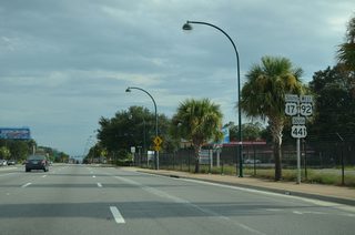
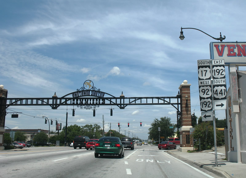
U.S. 17-92-441 North - Orange Blossom Trail - 85 photos
U.S. 17/92-SR 50 - Colonial Dr - 14 photos
U.S. 17 North / U.S. 92 East - DeBary to DeLand - 60 photos
DeLand to Crescent City - 55 photos
Satsuma to Palatka - 59 photos
Green Cove Springs to Orange Park - 56 photos
Orange Park to Riverside - Jacksonville - 32 photos
Downtown Jacksonville to Yulee - 66 photos
South
Georgia to Downtown Jacksonville - 69 photos

Riverside - Jacksonville to Orange Park - 56 photos
Fleming Island to Green Cove Springs - 51 photos
De Leon Springs to DeLand - 21 photos
U.S. 17 South / U.S. 92 West - DeLand to DeBary - 63 photos
U.S. 17/92-SR 50 - Colonial Dr - 21 photos
Winter Haven to Fort Meade - 59 photos
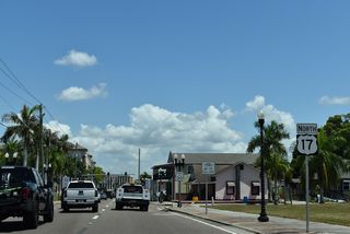
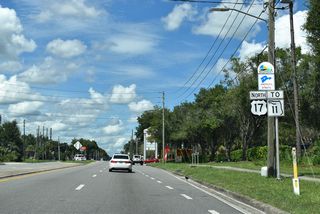
U.S. 17 begins at U.S. 41 in Downtown Punta Gorda and heads northerly toward Arcadia while paralleling the Peace River. Road projects spanning between 2003 to 2015 widened U.S. 17 into a four lane rural highway between Charlotte County Road 74 and DeSoto County Road 760A in Nocatee. A final project completed in January 2018 widened U.S. 17 from CR 760A to Heard Street in Arcadia1, connecting with the existing one way couplet through the DeSoto county seat.
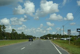
North of Arcadia, U.S. 17 continues as a four lane rural corridor to the Hardee County line. The community of Brownsville was bypassed when the route was placed on new alignment by 2006, generally following an old rail line that paralleled U.S. 17 between Arcadia and points north. Two separate projects further extended the widening of U.S. 17 from the Hardee County line to Zolfo Springs. Widening from the Hardee County line to Sweetwater Road ran from September 2016 to Summer 2018. Construction expanding the highway from south of W 9th Street to north of W 3rd Street in Zolfo Springs was finished in March 2018.1 This included realigning the highway one block east over Oak Street.
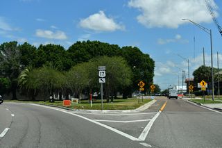
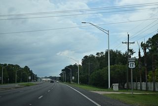
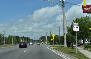
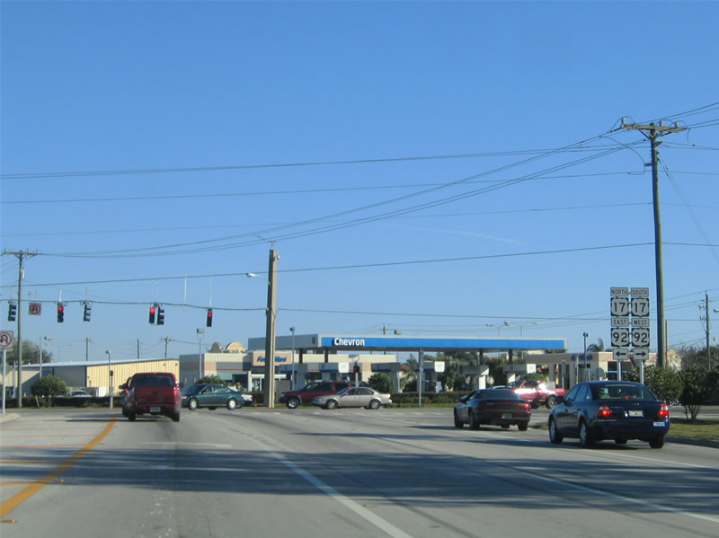
U.S. 17 leaves Zolfo Springs for the towns of Wauchula and Bowling Green before entering Polk County. U.S. 98 joins U.S. 17 in Downtown Fort Meade for an 11 mile overlap through East Van Fleet Drive in Bartow. U.S. 98 briefly connects with State Road 60 before angling northwest to Lakeland. U.S. 17 turns northeast from the Polk County seat making a bee line for Winter Haven. The route formerly followed a one way couplet through and near its central business district but today travels wholly along both 3rd and 6th Streets within the city. Lake Alfred Road carries U.S. 17 northward from Winter Haven to rendezvous with U.S. 92 south of Lake Alfred.
U.S. 17/92 overlap
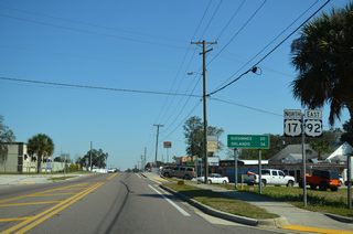
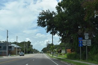
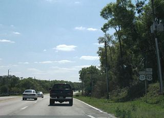
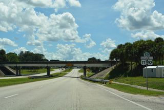
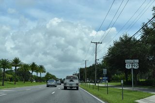
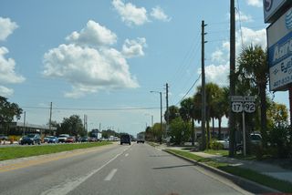
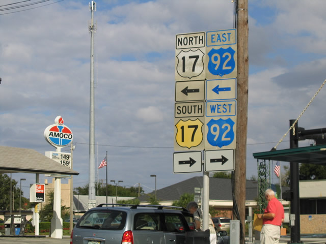
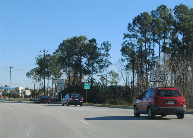
U.S. 17 joins U.S. 92 for a 99 mile concurrency through the heart of central Florida and the greater Orlando metro area. The two highways combine just south of Lake Alfred and turn easterly to meet U.S. 27 west of Haines City. The pair then turn north traveling through Davenport, Loughman, and Intercession City before entering Kissimmee within Osceola County.
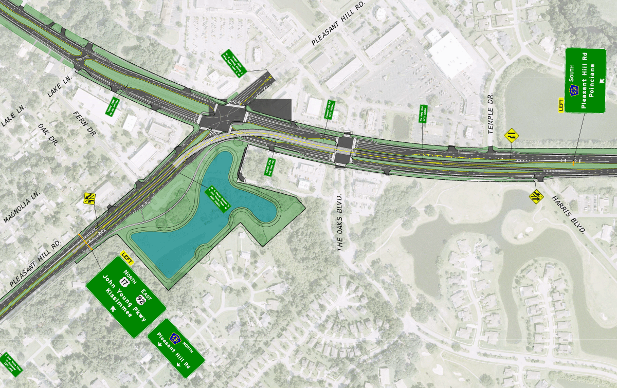
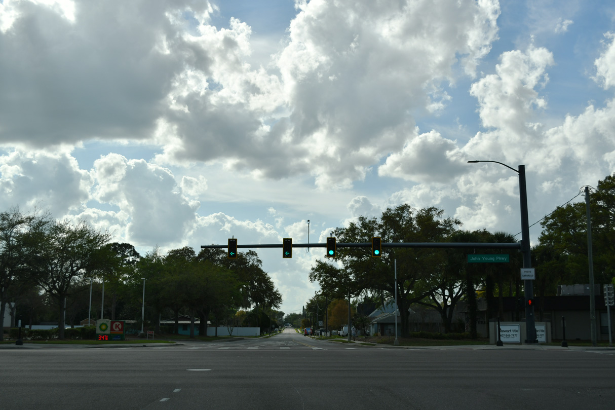
The once planned flyover linking U.S. 17/92 (John Young Parkway) with Osceola County Road 531 (Pleasant Hill Road).
Separate projects widened U.S. 17-92 along John Young Parkway in Osceola County. The first project expanded a 1.37 mile segment from Portage Street north to U.S. 192 (Vine Street) in Kissimmee. Work commenced on November 15, 2015 and was estimated for completion on January 25, 2018. Pushing the completion date back to late May 2018, poor weather conditions and clean up following Hurricane Irma in September 2017 were cited for the delays.2 $24.1 million in additional work from early 2019 to Spring Fall 2022 widened 2.215 miles of U.S. 17 to four overall lanes from west of Poinciana Boulevard to Ham Brown Road (CR 535).
A canelled proposal expanded 2.384 miles of U.S. 17-92 (John Young Parkway) south from Portage Street in Kissimmee to Pleasant Hill Road (CR 531). Included was a new flyover linking John Young Parkway south to Pleasant Hill Road south and CR 531 north to U.S. 17-92 north. Right of way costs were estimated at $25 million, with construction adding another $66.7 million. The project was estimated to start in December 2017 and run through Spring 2020.2,3. An interim improvement study focused on widening the aforementioned section of U.S. 17/92 and constructing a new signalized access road linking U.S. 17/92 and Pleasant Hill Road in addition to their intersection. Project letting for the estimated $11.1 million in construction was April 1, 2025. The flyover remained as a future addition with no time table set.5
A new proposal in design as of 2024 reconfigures the intersection joining U.S. 17/92 (John Young Parkway) and Pleasant Hill Road (CR 531) with a new access road to the southeast and a flyover carrying eastbound traffic above Pleasant Hill Road. Additional turning movements will be altered and parkland created in the project area. With estimated comstruction costs of $89 million, letting for the design work was September 13, 2027.
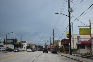
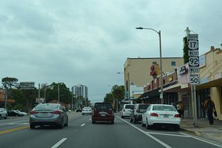
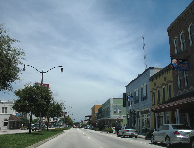
U.S. 17/92 join U.S. 192 for a short overlap before returning north and following U.S. 441 (Main Street) out of Kissimmee. Beyond the city limits, Main Street becomes Orange Blossom Trail (OBT), a heavily congested six lane arterial that carries the three U.S. highways through several Orange County suburbs, including Hunters Creek and Southchase. The three routes meet both the Florida's Turnpike and Beachline Expressway (SR 528) near SR 482 (Sand Lake Road) and the Florida Mall. U.S. 17-92-441 continues northward along a commercial corridor into Orlando, splitting with U.S. 441 at State Road 50 (Colonial Drive). Colonial Drive takes U.S. 17/92 alongside SR 50 east under Interstate 4 before the two U.S. highways depart north along Mills Avenue.
U.S. 17/92 continue north away from central Orlando as a busy commercial arterial, passing through Winter Park, Maitland, Fern Park and Casselberry. Two grade-separated interchanges join the pair with SR 414 west (Maitland Boulevard) and SR 436 (Semoran Boulevard) en route to Longwood. As U.S. 17-92 bends northeast toward Sanford, the four lane route passes between Big Tree Park and Soldiers Creek Park, giving motorists a brief reprieve from the otherwise over burdened commercialized arterial. The two highways skirts the southeast quadrant of Lake Mary before entering Sanford along Orlando Drive. State Road 46 (25th Street) enters Sanford from the east and combines with U.S. 17/92 northward 1.7 miles to 1st Street outside Downtown.
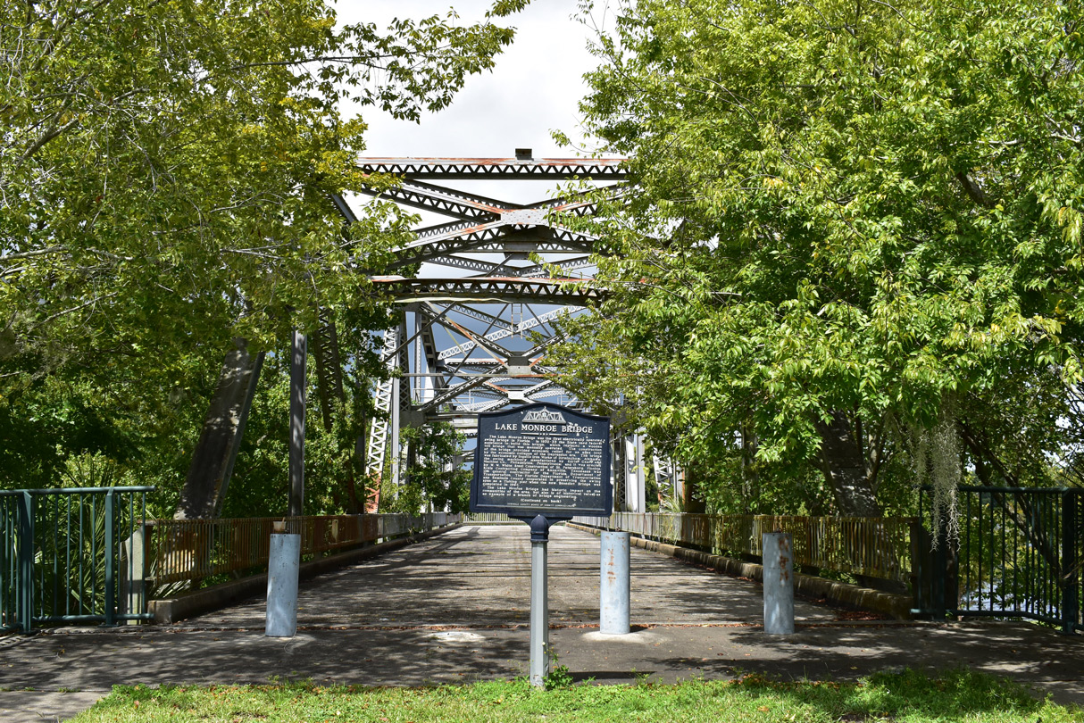
U.S. 17/92 were realigned in 2018 away from the Lake Monroe waterfront along Seminole Boulevard along a combination of SR 46 west and County Road 15 (Monroe Road) north. The former alignment along Seminole Boulevard was turned over to local control and subsequently closed in 2019 for storm water repairs. SR 46 extends west from U.S. 17/92 toward Wekiva Parkway while Monroe Road leads the two routes northward to Interstate 4 at Lake Monroe.
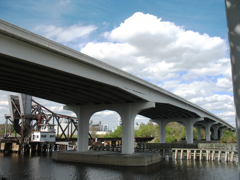
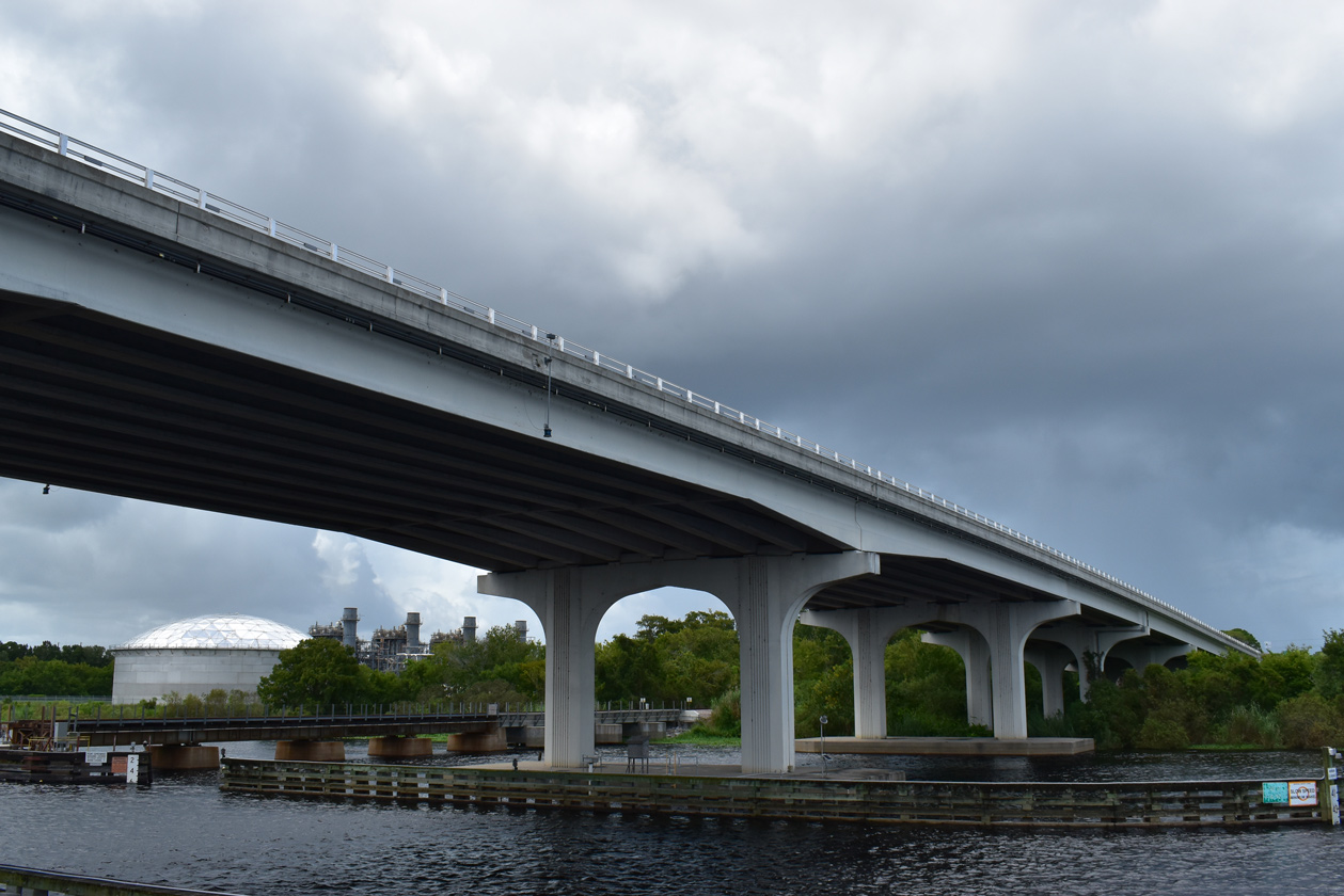
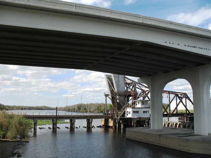
A $22.3 million project redesigned the interchange joining Interstate 4 with U.S. 17/92 and County Road 15 (Monroe Road) at Lake Monroe. A flyover ramp was added from I-4 eastbound to U.S. 17/92 at the intersection with Monroe Road. The previous off-ramp tied into Orange Boulevard west of CR 15 (Monroe Road) and south of a CSX Railroad line and U.S. 17/92. Work finished four months ahead of schedule on December 19, 2007.4 U.S. 17/92 span the St. Johns River from the exchange with I-4 across the Benedict Bridge into Volusia County.


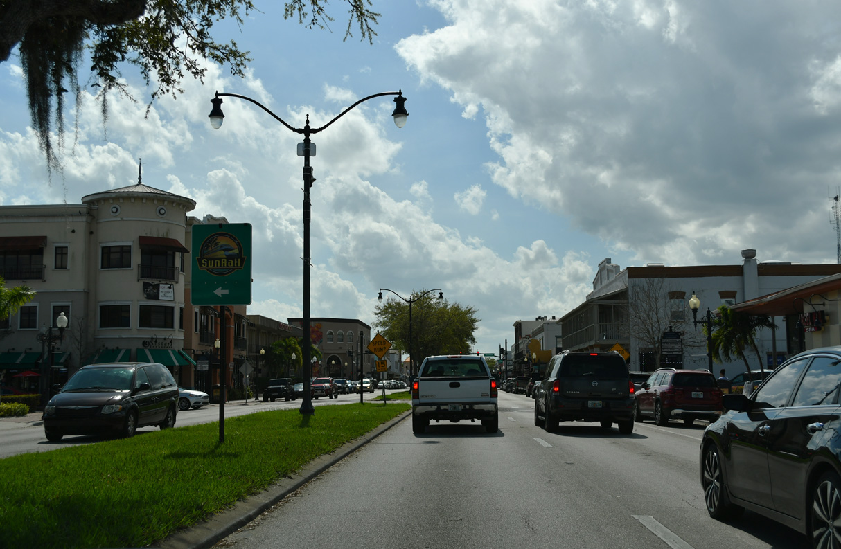
The remaining 15 miles of the U.S. 17-92 concurrency parallel to Interstate 4 to the north through DeBary, Orange City and DeLand. Drivers typically see a mix of residential and commercial areas along the entire stretch into DeLand. Woodland Boulevard carries U.S. 17/92 to the heart of DeLand where the two U.S. highways meet State Road 44. U.S. 92 finally leaves U.S. 17 along International Speedway Boulevard in North DeLand for Daytona Beach. The U.S. highway continues another 22 miles ending at SR A1A one block west of the Atlantic Ocean.
Leaving U.S. 92 and De Land behind, U.S. 17 turns northwest toward De Leon Springs and Barberville, reducing back to a two-lane rural highway. The highway generally parallels the St. Johns River as it continues northward through the communities of Pierson, Crescent City and Lake Como en route to Palatka and beyond. At Satsuma, U.S. 17 bends northeast in unison with the St. Johns River to meet SR 100 at San Mateo. State Road 100 joins U.S. 17 for an overlap through East Palatka into Palatka across the St. Johns River. U.S. 17 (Reid Street) splits with SR 100 west of downtown for Green Cove Springs and Orange Park, a suburb of Jacksonville. The U.S. highway maintains a rural setting between Palatka and Green Cove Springs, but is more urbanized northward toward Orange Park.
Still closely running parallel with the St. Johns River, U.S. 17 enters Duval County (Jacksonville) immediately preceding an interchange with I-295, just south of Naval Air Station (NAS) Jacksonville. The naval complex stretches nearly three miles along U.S. 17 (Roosevelt Boulevard), lying between the arterial and the St. Johns River. Roosevelt Boulevard otherwise carries U.S. 17 northward through the Ortega, Lakeshore South and Fairfax neighborhoods of Jacksonville. Between the Murray Hill and Avondale neighborhoods, the Roosevelt Expressway continues U.S. 17 as a limited access expressway to Interstate 10 east.
Roosevelt Expressway
Approved by the American Association of State Highway and Transportation Officials (AASHTO) in 2006, U.S. 17 was relocated from a surface street routing through the Riverside and Brooklyn neighborhoods in Jacksonville onto a combination of Roosevelt Expressway, Interstate 10, I-95, and U.S. 23 (State / Union Streets). The move was requested by city officials, as the former couplet of College and Post Streets through Riverside was converted to local streets with two way traffic. The realignment also effected SR 228, which ran in tandem with U.S. 17 to Downtown. It now follows U.S. 17 wholly to U.S. 1/90 (Main / Ocean Streets), which returns the route south to Monroe and Adams Street east to the Hart Bridge Expressway. U.S. 17 and SR 228 remain poorly signed along their overlaps with I-10 and I-95.
North of Downtown, U.S. 17 follows Main Street through the Brentwood and Panama Park neighborhoods before crossing the Trout River near the Jacksonville Zoo. U.S. 17 remains a mostly rural route between I-295 and Yulee, where the U.S. highway meets SR A1A/200. Turning northwest, the route meets I-95 at a folded diamond interchange before curving back north to cross the St. Marys River into Georgia.
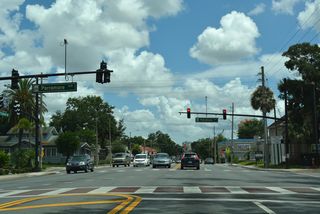
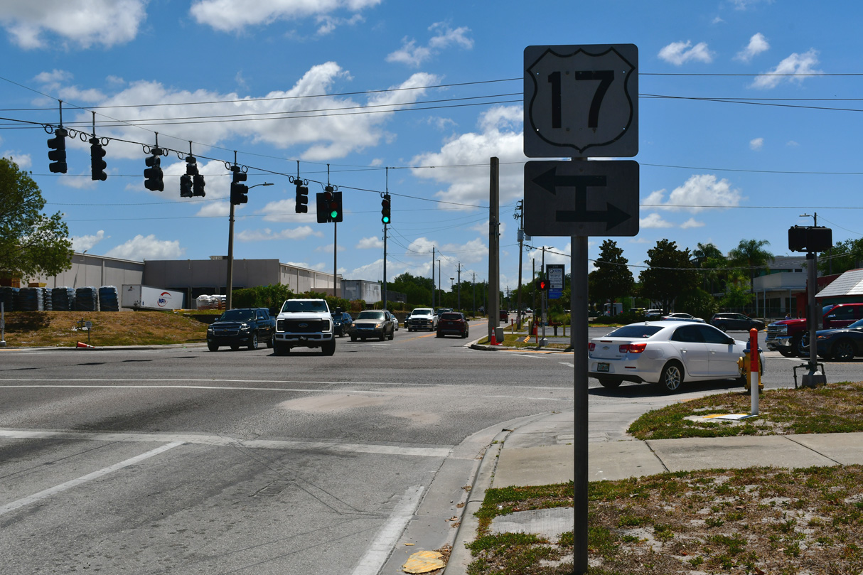
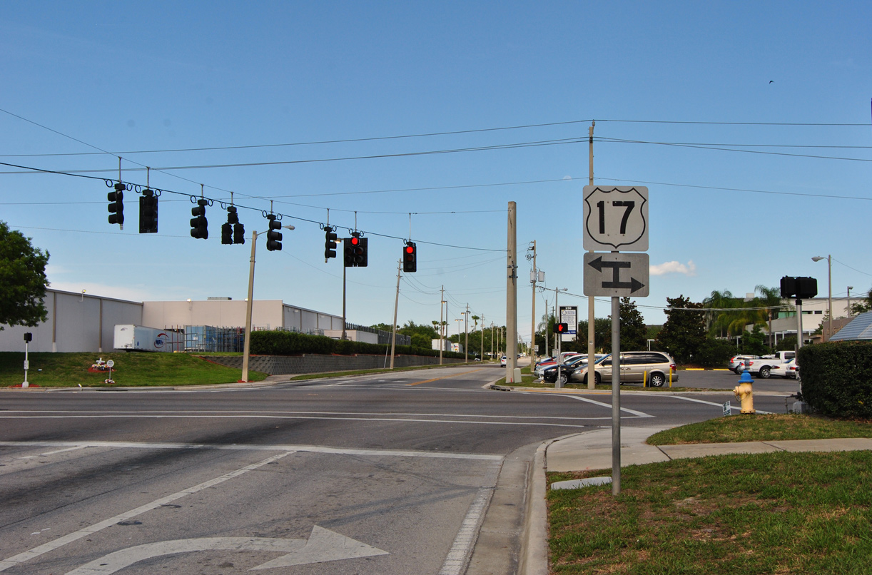
 scenes
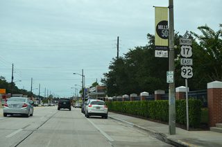
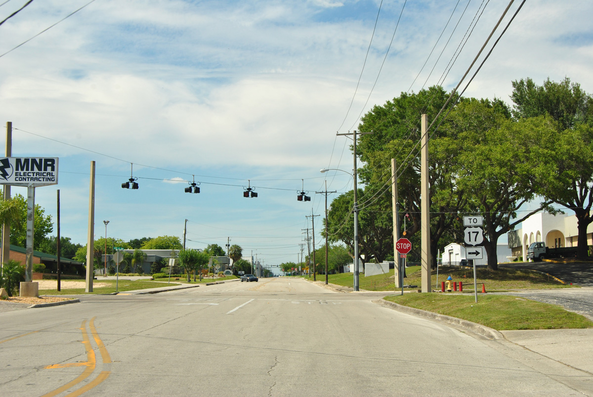
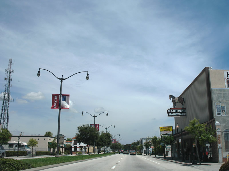
U.S. 17 trailblazer posted on 6th Street SW north for Avenue G SW east in Winter Haven. 6th Street SW was formerly U.S. 17 southbound.
05/15/16
Historically U.S. 17 southbound in central Winter Haven followed 6th Street SW south and K Avenue SW east while northbound remained on 3rd Street SW north Magnolia Avenue and Avenue A SW west. This assembly stands where U.S. 17 turned south onto 3rd Street SW from Avenue K SW.
05/03/24
Avenue K SW east at U.S. 17 (3rd Street SW) in Winter Haven.
05/15/16

3rd Street SW north to 6th Street SW at Avenue C SW replaced the couplet for U.S. 17 in Winter Haven by 2004.
01/17/10
This classic shield assembly for U.S. 17/92 (Lake Shore Way) once stood along Haines Boulevard (former CR 557) in Downtown Lake Alfred; it was removed by May 2007. CR 557 was relocated from Haines Boulevard by 2011 and placed onto a realigned Buena Vista Drive.
11/18/03
Airport Boulevard eastbound in Sanford ahead of U.S. 17/92. Airport Boulevard parallels SR 417 (Seminole Expressway) southeast from CR 46A (W 25th Street) to U.S. 17/92 at Exit 50.
12/29/05
Airport Boulevard links the Exit 50 from SR 417 southbound with U.S. 17/92. U.S. 17/92 travel north from Airport Boulevard toward Downtown Sanford and southwest to Lake Mary. Airport Boulevard continues east to the Seminole Expressway southbound entrance ramp and Orlando-Sanford International Airport (SFB).
12/29/05
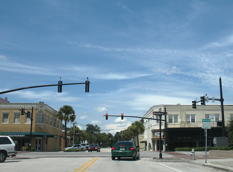
Historically U.S. 17/92 looped through Downtown Kissimmee along a combination of Emmett Street, Broadway and Main Street. This view looks at Stewart Avenue south at Emmett Street west and Broadway north.
08/26/07
Broadway Avenue (former U.S. 17-92) northeast at Darlington Avenue in Downtown Kissimmee.
08/26/07
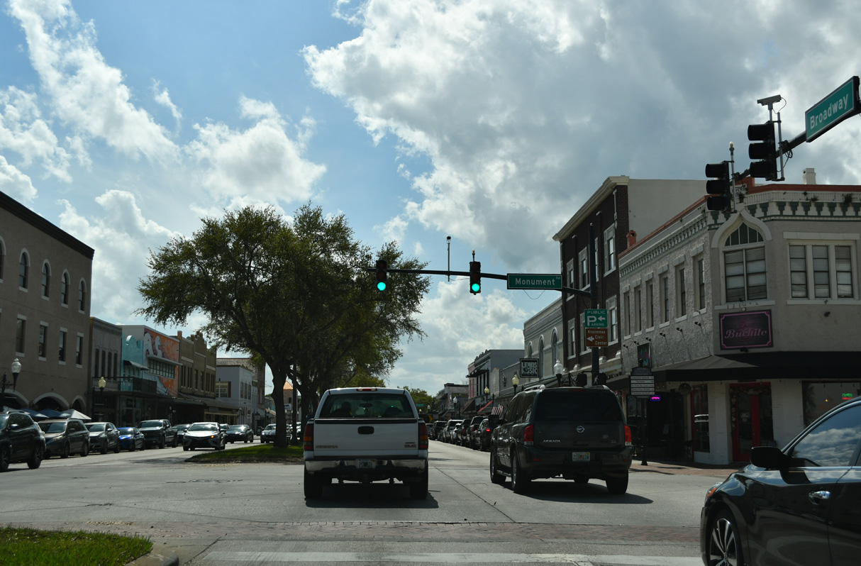
Broadway Avenue north at Monument Avenue. Monument Avenue is named after the nearby Monument of States.
08/26/07
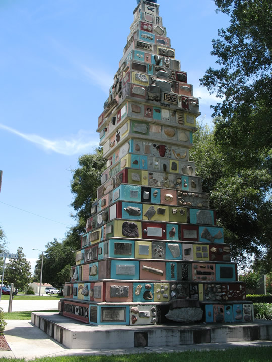
The Monument of States is located on the southwest corner of Monument Avenue and Johnston Street, two blocks from Broadway. Rising to a height of nearly three stories, the artwork includes stones, fossils, and other artifacts donated from all 50 states and various countries around the world.
08/26/07
Monument Avenue northwest at Broadway Avenue (former U.S. 17-92) in Downtown Kissimmee.
08/26/07
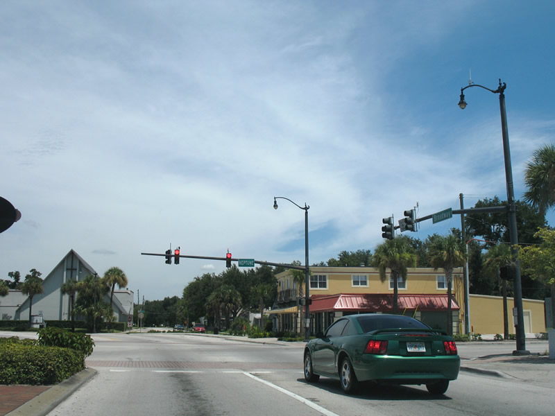
Broadway Avenue leads three blocks northeast from Monument Avenue to Main Street at Neptune Road in Kissimmee.
08/26/07
Broadway Avenue transitions onto Main Street north from Neptune Road. Neptune Road, CR 525 east of Lakeshore Boulevard, provides an alternate route to St. Cloud by the north shore of Lake Tohopekaliga to Fish Lake.
08/26/07
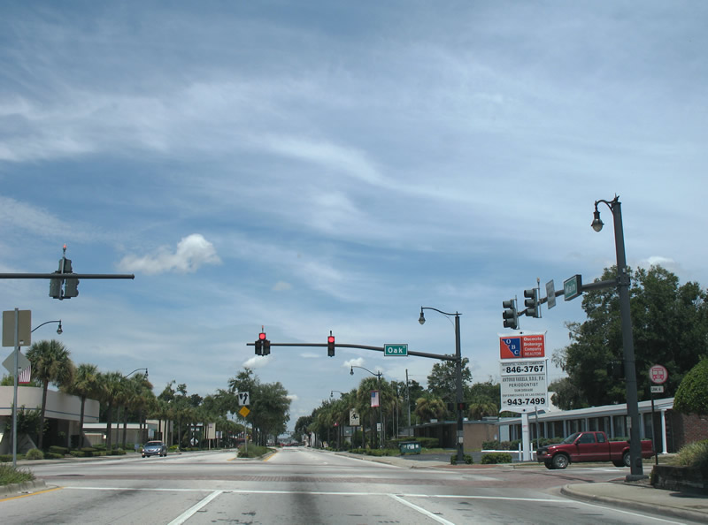
Main Street heads north into a residential street grid from Broadway, meeting Oak Street at a signalized intersection east of Osceola Regional Medical Center.
08/26/07
Main Street advances four blocks north from Oak Street to U.S. 17-92-192-441 at Vine Street. U.S. 17-92-441 follow Main Street north to Orange Blossom Trail and Orlando. Vine Street west leads U.S. 17-92-192 to their separation at John Young Parkway (CR 525). U.S. 192/441 east combine along Vine Street east en route to St. Cloud.
08/26/07
Broadway Avenue (old U.S. 17/92) south at Dakin Avenue in Downtown Kissimmee. Kissimmee Station with AMTRAK and Sunrail service is one block to the south.
03/08/24
Monument Avenue angles southeast across Broadway Avenue to the Monument of States and Lakeshore Boulevard along Lake Tohopekaliga.
03/08/24
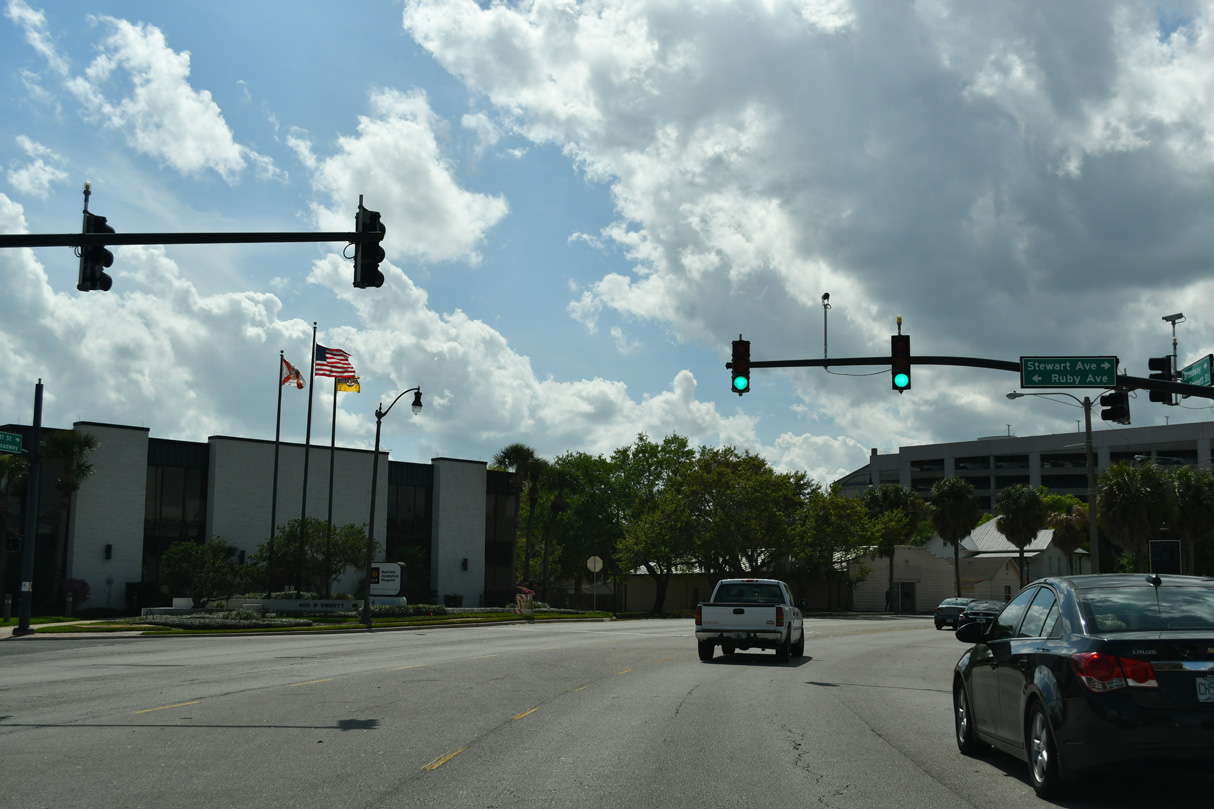
Curving west, Broadway Avenue becomes Emmett Street at the signal with Stewart Avenue north and Ruby Avenue south.
03/08/24
The old alignment of U.S. 17/92 in Kissimmee on Emmett Street rejoins U.S. 17/92 at John Young Parkway. John Young Parkway south of U.S. 192 was formerly Bermuda Avenue.
03/08/24
References:
- US 17 Corridor Projects (FDOT), www.fdotus17projects.com.
- "John Young Parkway widening projected to finish late May 2018." Osceola News-Gazette (Kissimmee, FL), December 22, 2017.
- 418403-3 SR 600 (US 17/92) from Pleasant Hill Road to Portage Street. CFLRoads, FDOT web site.
- "New I-4 exit ramp opens today." Orlando Sentinel, The (FL), December 19, 2007.
https://www.cflroads.com/project/418403-6
Photo Credits:
- Brent Ivy: 05/15/16, 05/03/24
- ABRoads: 01/17/10, 03/08/24
- Alex Nitzman: 11/18/03, 12/29/05, 08/26/07
Connect with:
Page Updated Thursday August 14, 2025.