
State Road 66
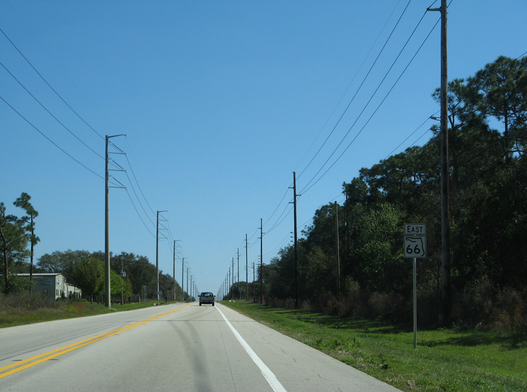
Part of the Florida Cracker Trail, State Road 66 branches 15.68 miles southeast from U.S 17 at Zolfo Springs in Hardee County. Crossing into Highlands County, SR 66 runs along the south side of Highlands Hammock State Park east 9.68 miles to U.S. 27/98 at Sebring.
The realignment of U.S. 17 one block east from Main Street over Oak Street included truncating SR 66, 0.07 miles east. Old Crewsville Road looping south from SR 66 in east Zolfo Springs is the original alignment of SR 66.
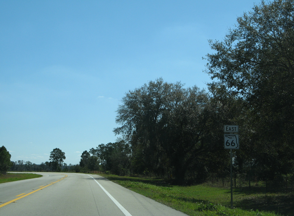
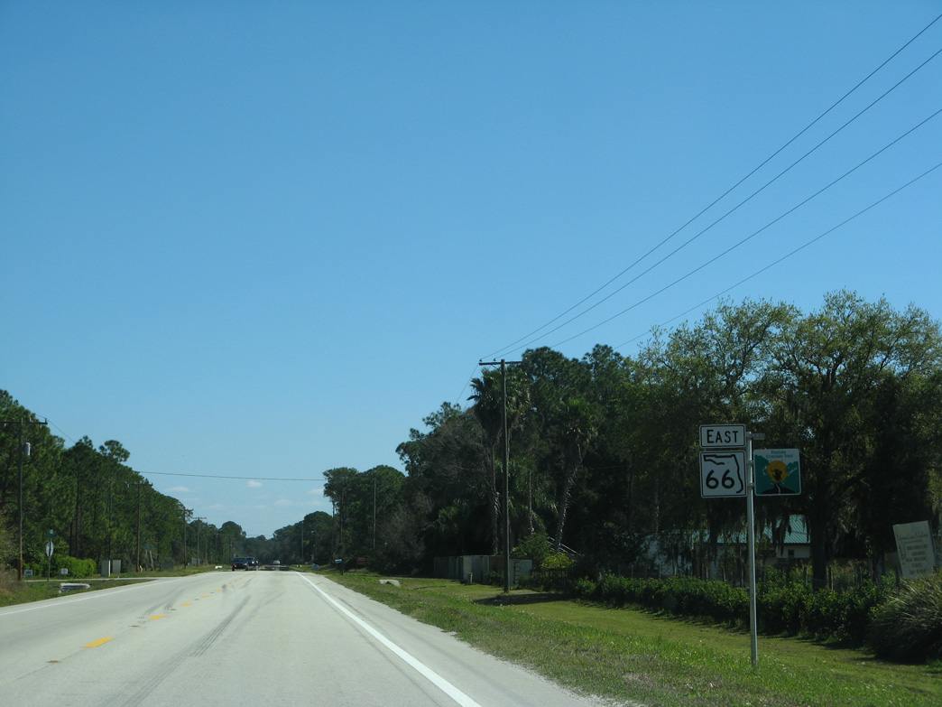
 East
East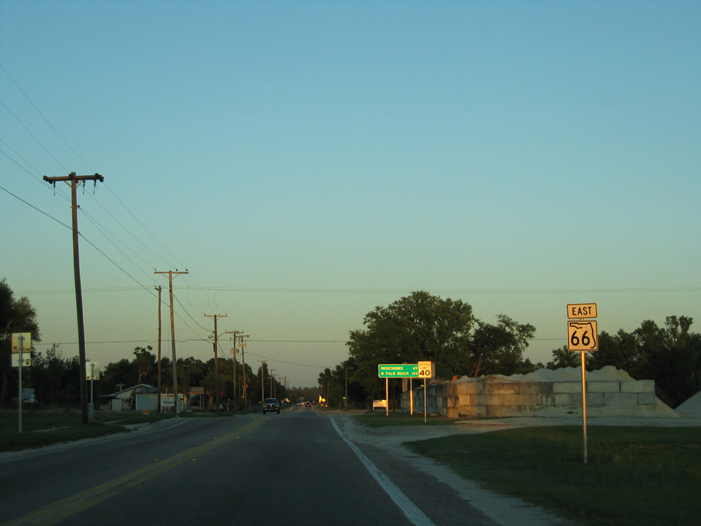
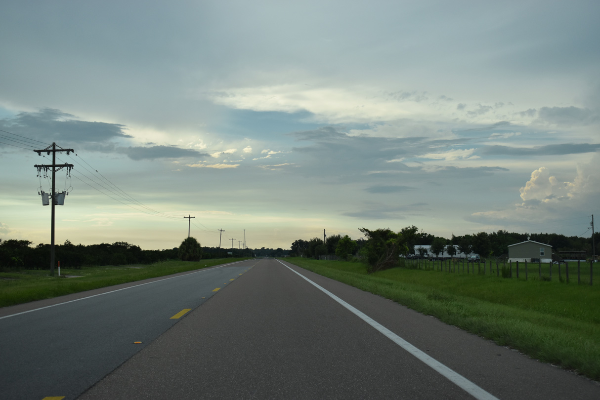
The previous beginning of SR 66 along 6th Street E in Zolfo Springs.
03/24/06
03/24/06
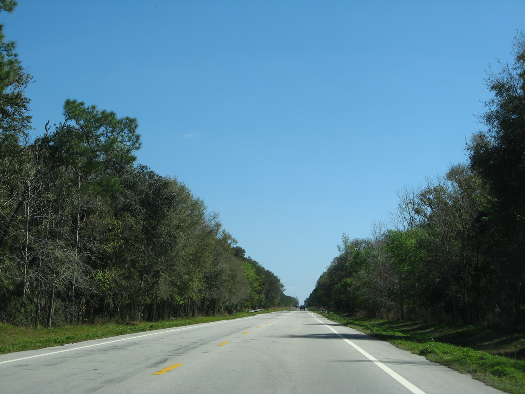
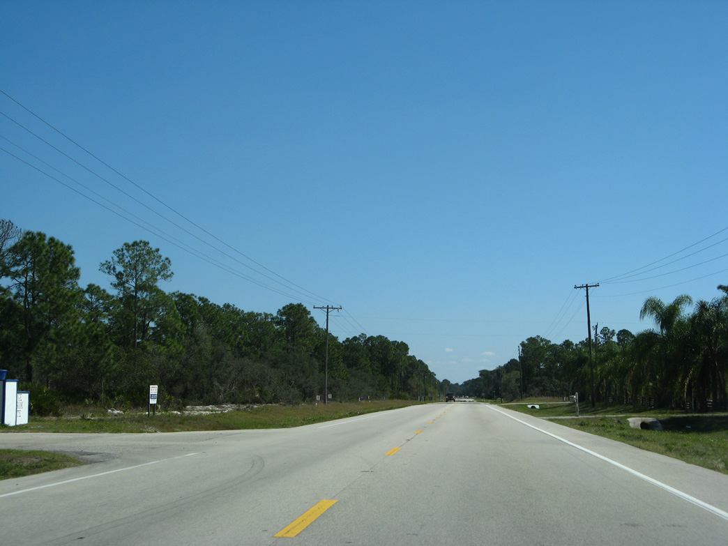
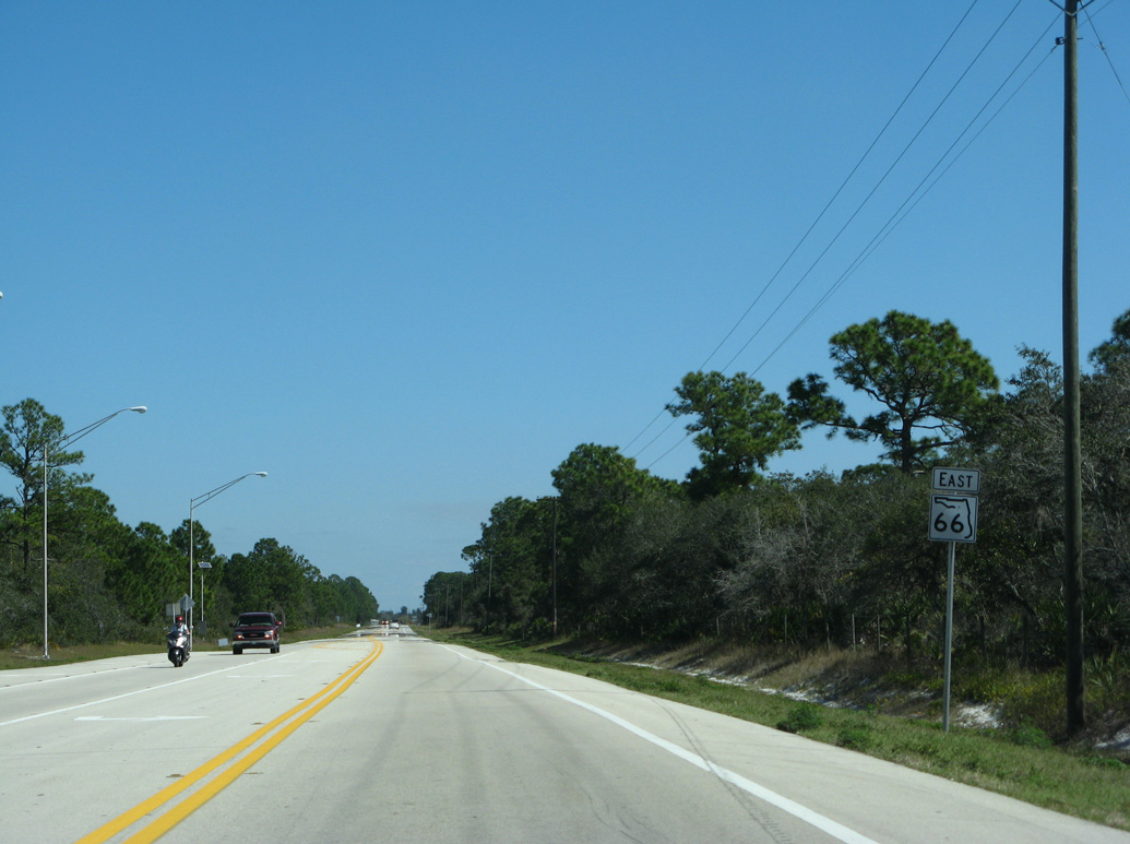
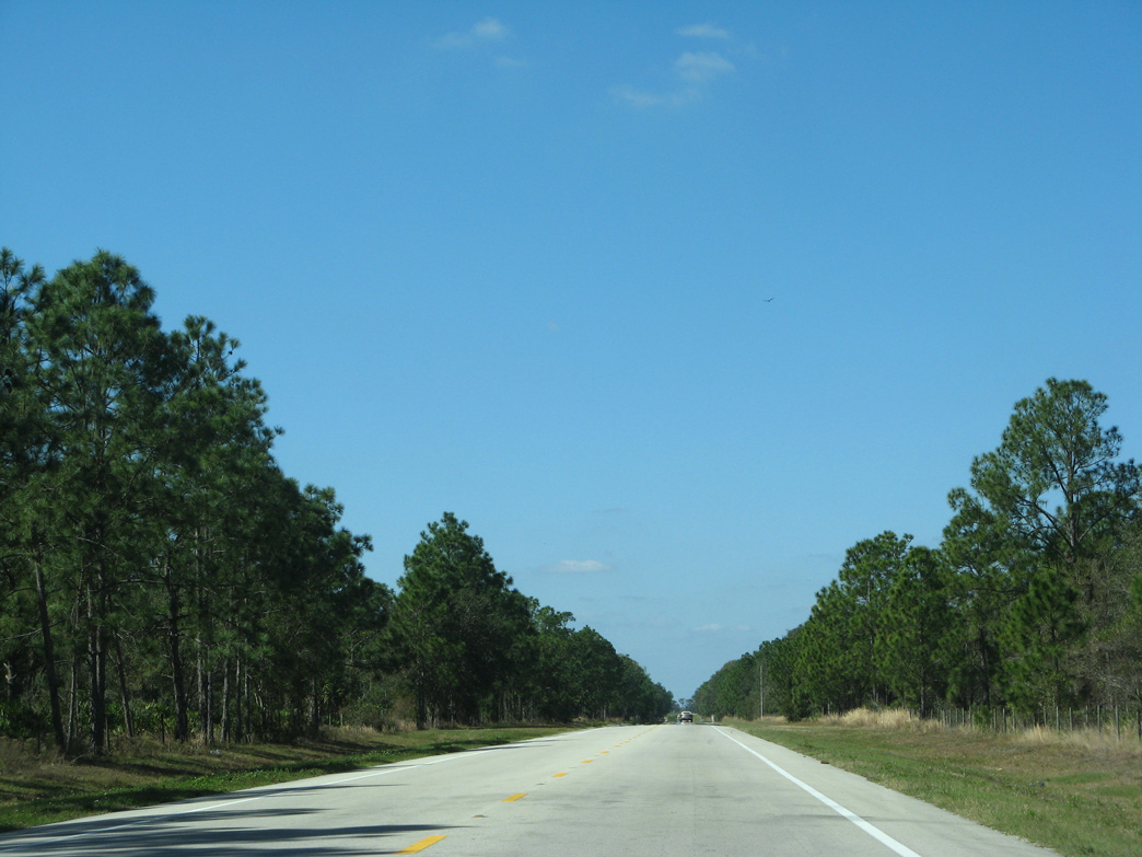
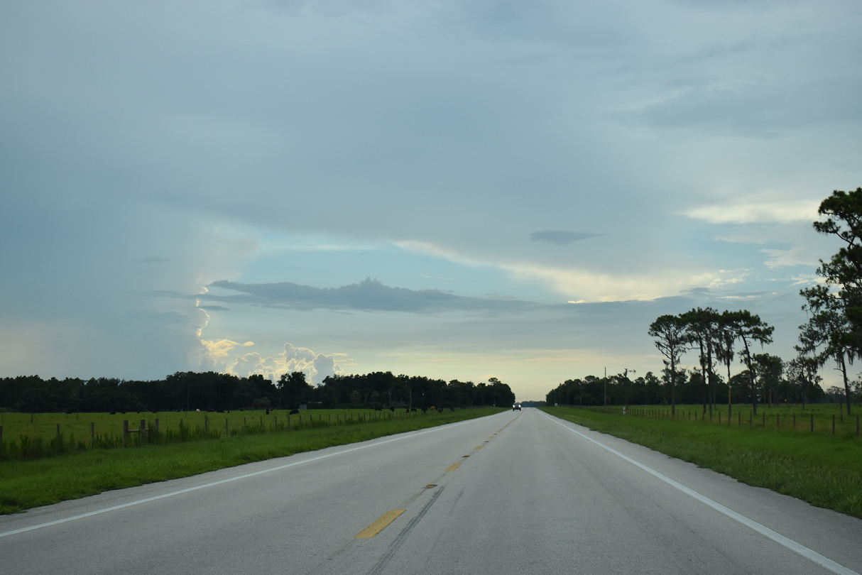
SR 66 travels 15.61 miles east from U.S. 17 in Zolfo Springs to the Highlands County line beyond Crewsville.
02/16/08
02/16/08
02/16/08
02/16/08
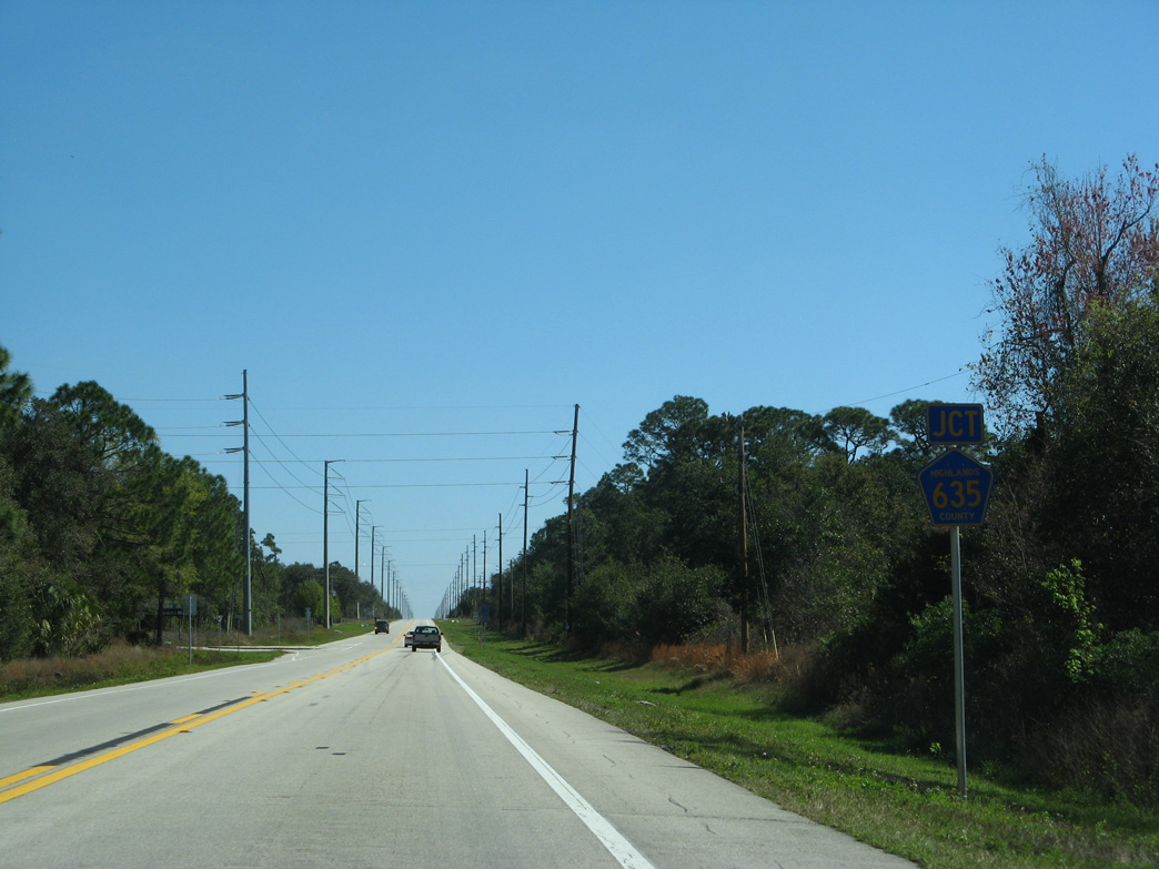
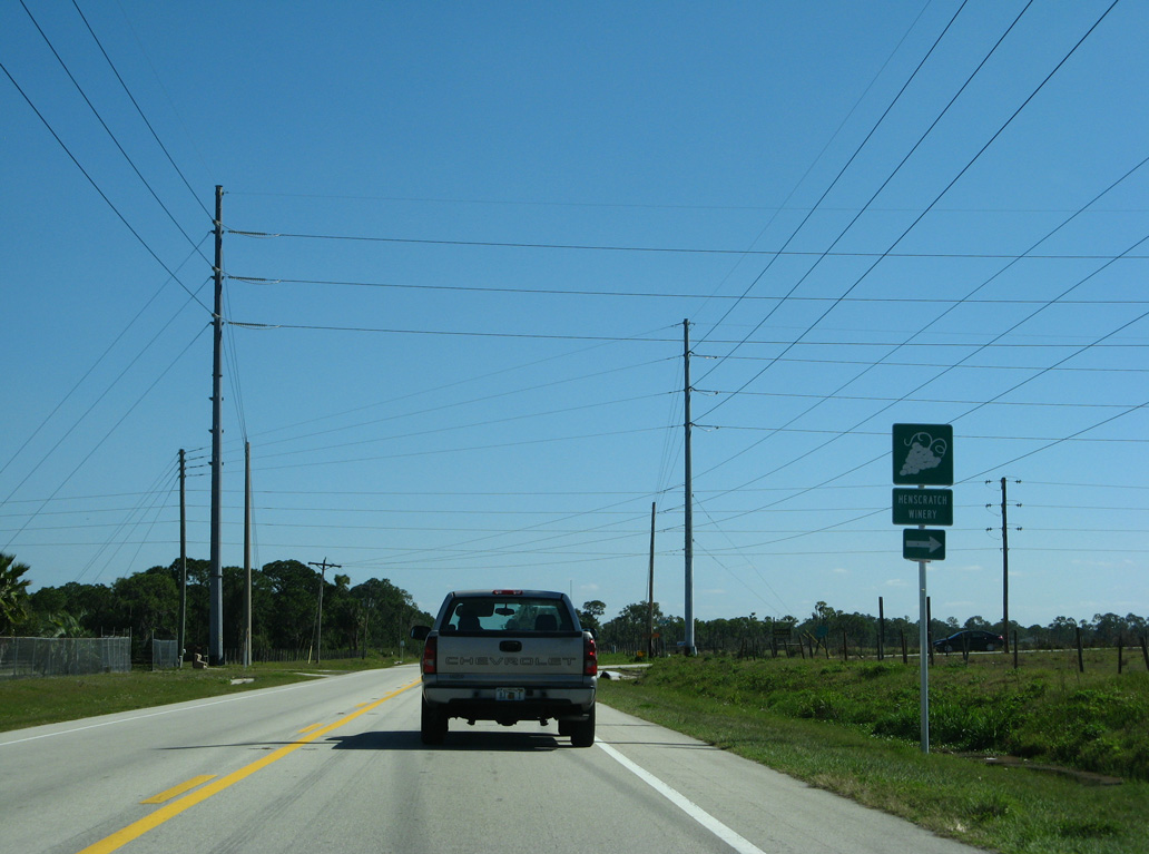
CR 635 stems north from SR 66, 4.03 miles to CR 634 at the entrance to Highlands Hammock State Park.
02/16/08
02/16/08
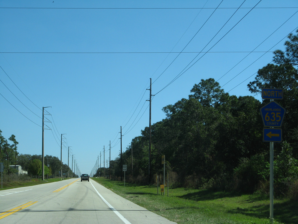
CR 635 north to CR 634 provides a cut off from SR 66 east to U.S. 27/98 north to Avon Park.
02/16/08
02/16/08
02/16/08
SR 66 east at Payne Road south.
02/16/08
02/16/08
SR 66 east at Shasty Daisy Boulevard to the Orange Blossom Estate rural subdivision.
02/16/08
02/16/08
The SR 66 reassurance marker and Florida Cracker Trail marker posted east of McRoy Road was removed after 2016.
02/16/08
02/16/08
SR 66 curves northward by the Highland Lakes Reserve neighborhood.
02/16/08
02/16/08
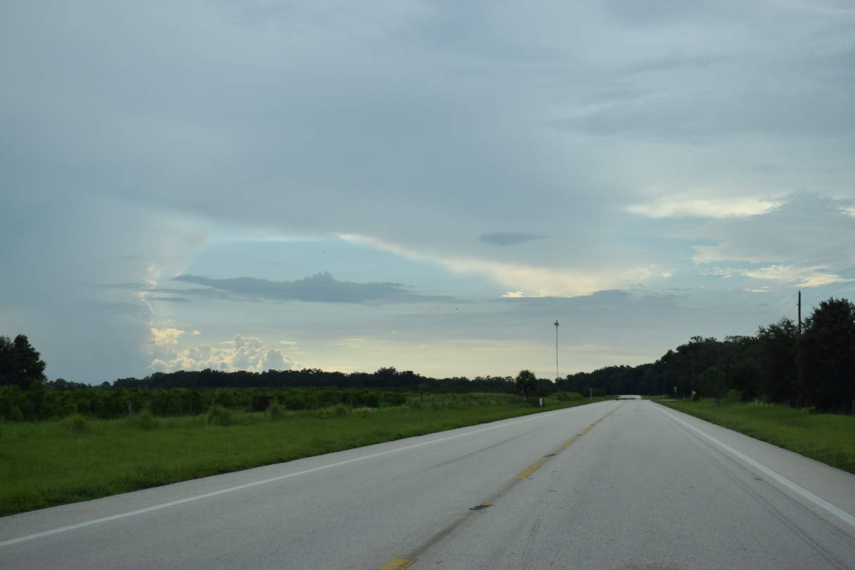
SR 66 angles northeast from Sparta Road by wetland areas along Boggy Branch in south Sebring.
02/16/08
02/16/08
Curving east from Jackson Creek, SR 66 gains 25 feet in elevation to U.S. 27/98.
02/16/08
02/16/08
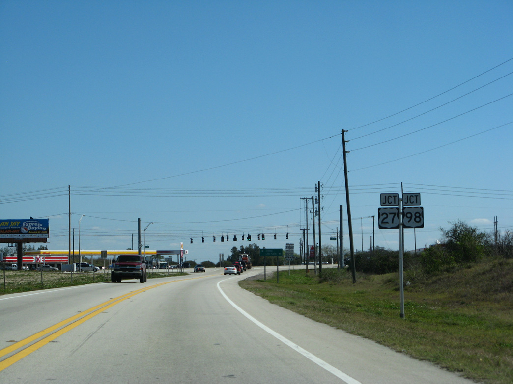
SR 66 ties into the south split of U.S. 27/98 near Red Beach Lake.
02/16/08
02/16/08
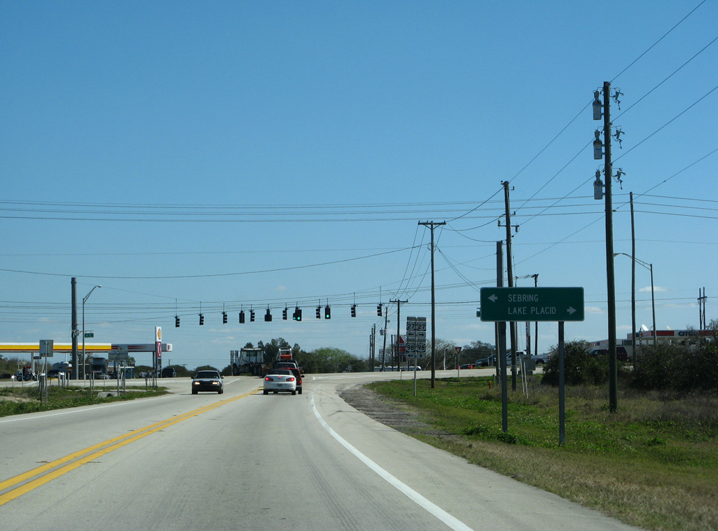
U.S. 27/98 overlap 24.89 miles north to Sebring, Avon Park and Frostproof.
02/16/08
02/16/08
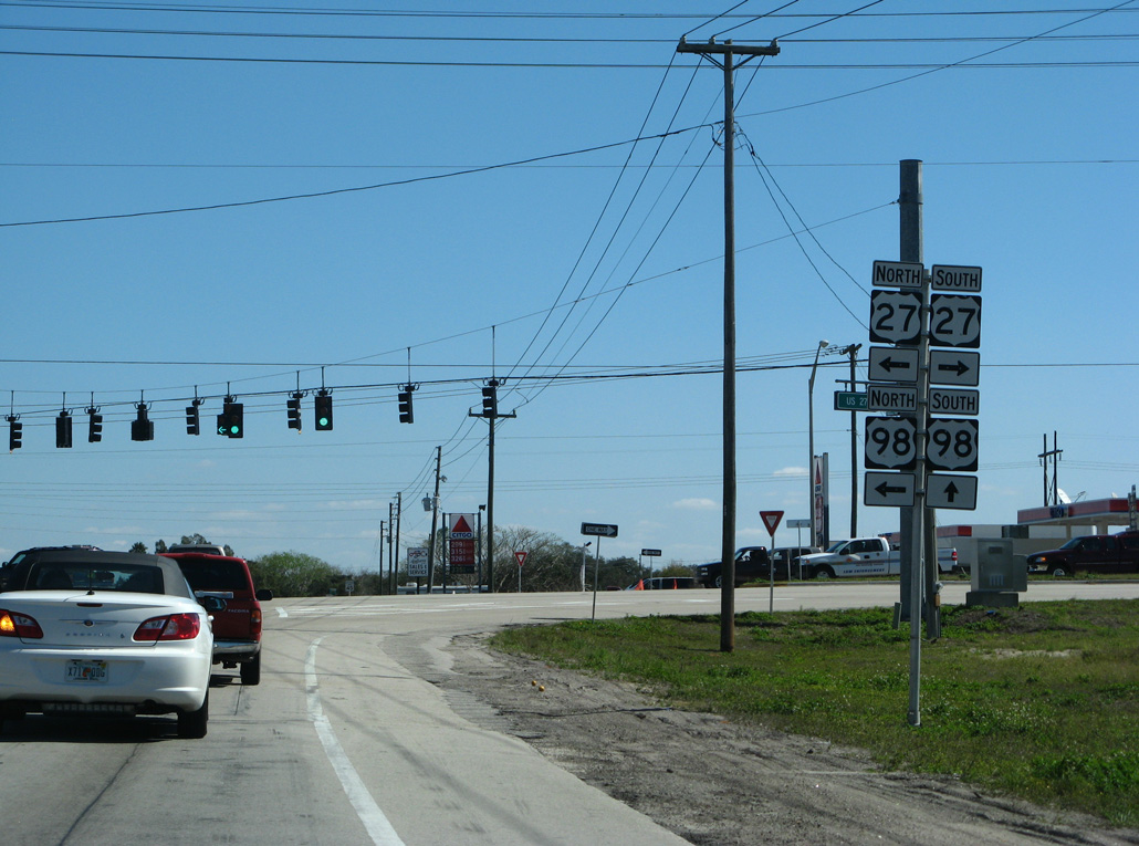
U.S. 98 travels southeast from U.S. 27/SR 66 to Okeechobee and West Palm Beach while U.S. 27 continues south to Lake Placid, Clewiston and Miami.
02/16/08
02/16/08
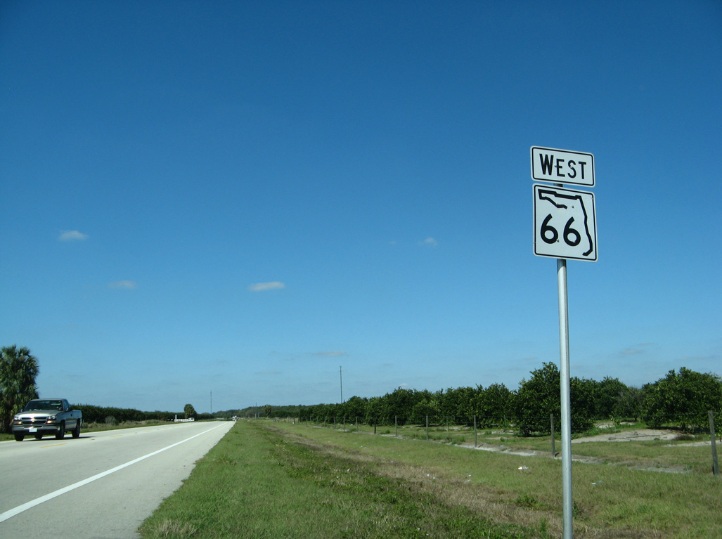
West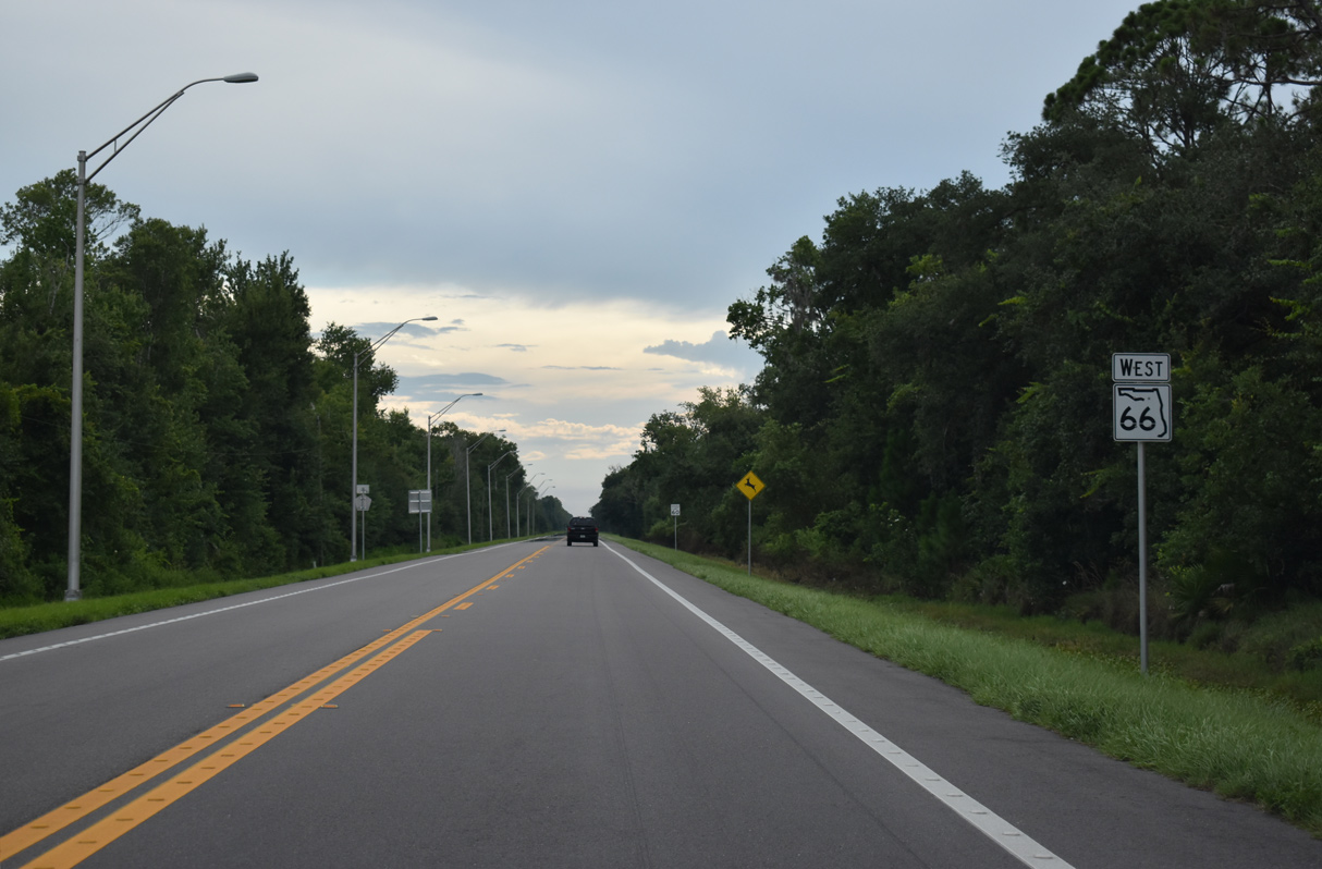
Confirming marker posted west of CR 635.
07/02/19
07/02/19
02/16/08
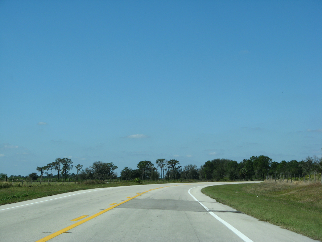
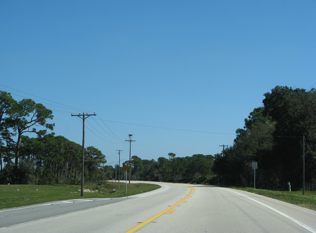
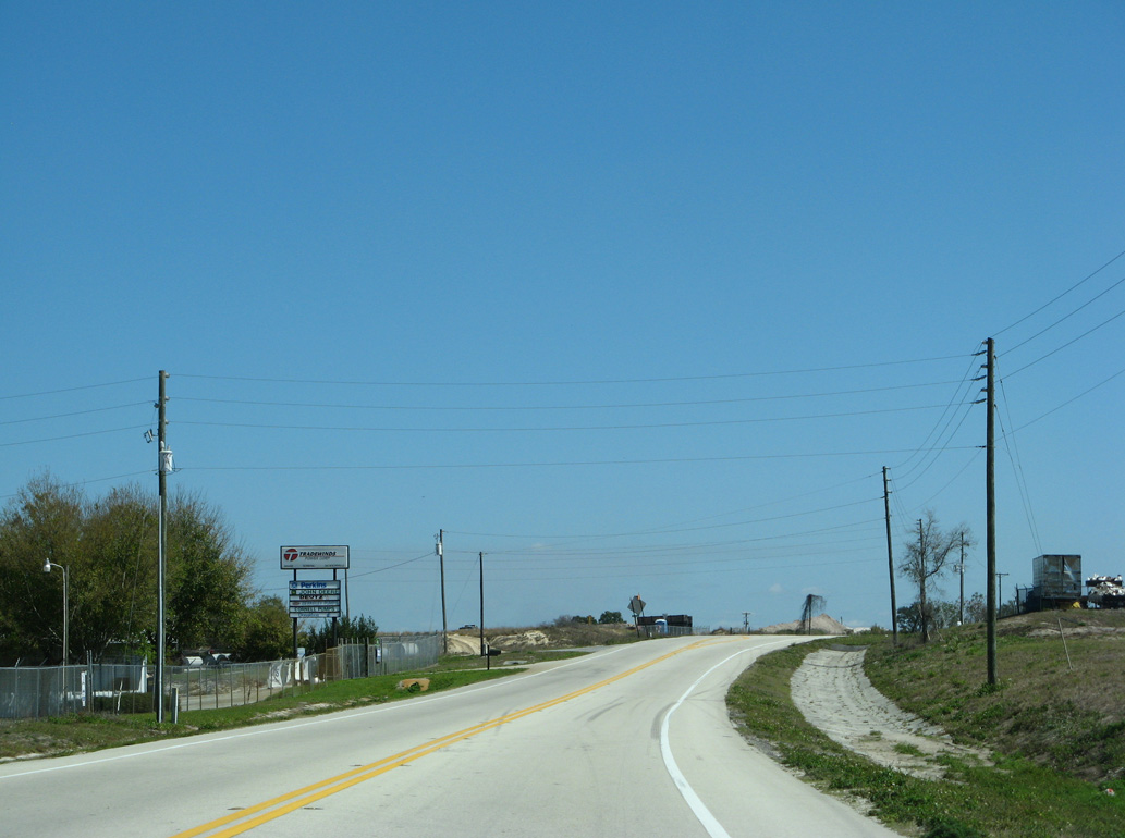
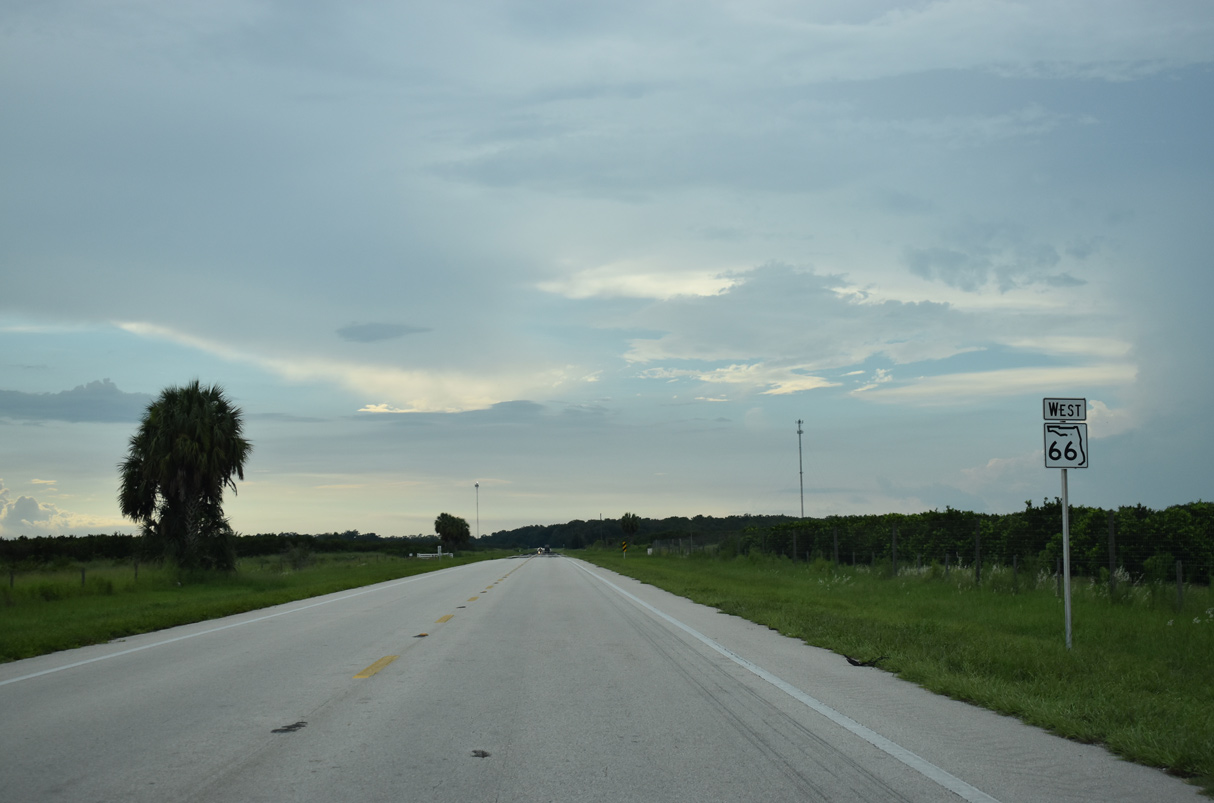
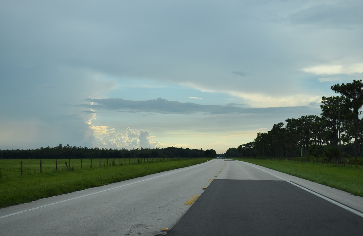
SR 66 curves northwest ahead of the Hardee County line.
02/16/08
02/16/08
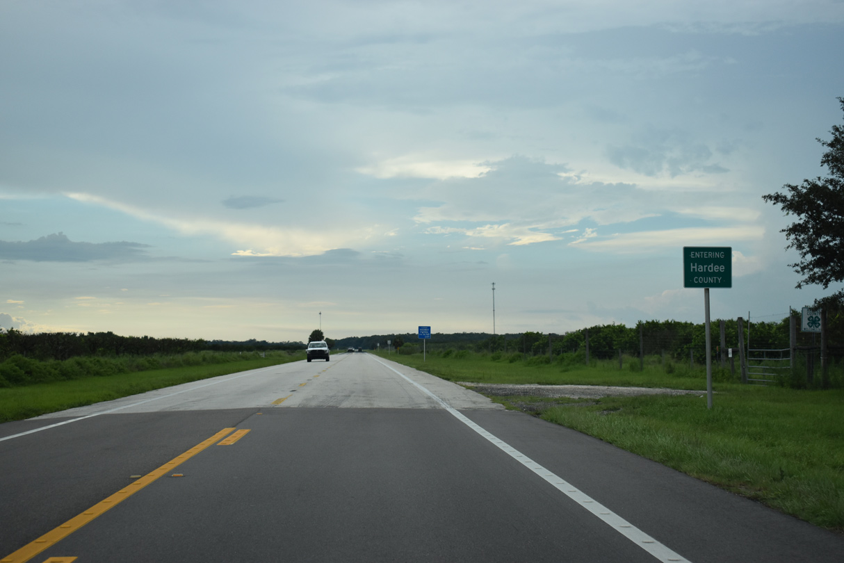
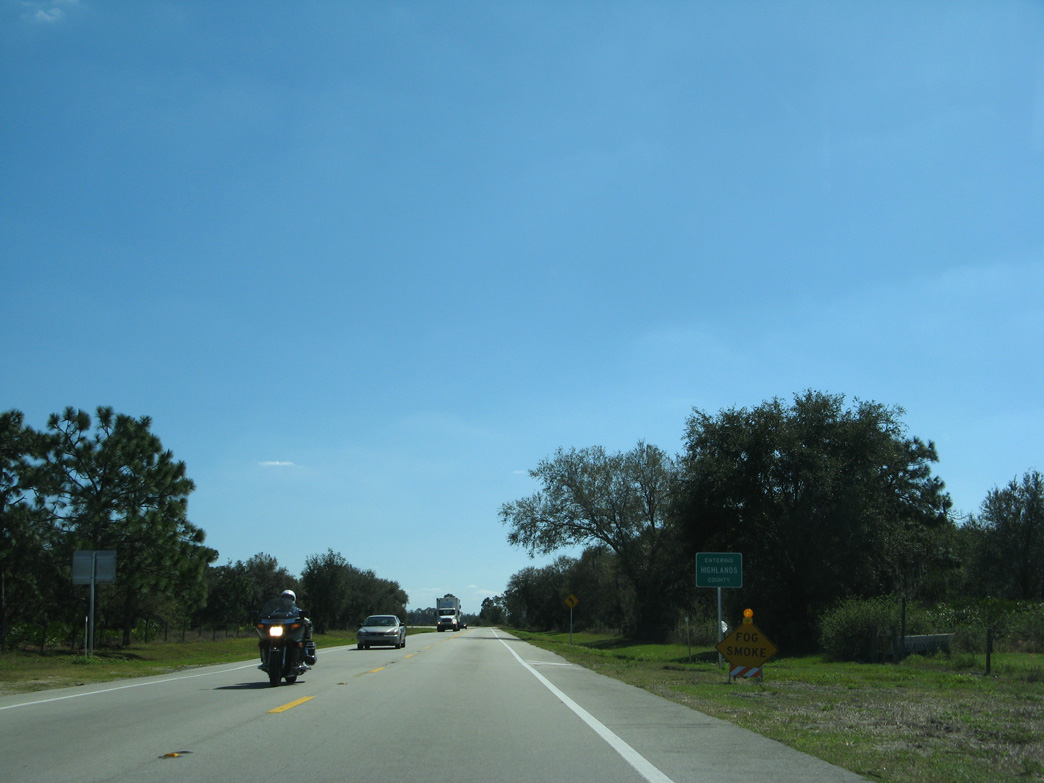
SR 66 enters Hardee County 9.34 miles west from U.S. 27/98.
07/02/19
07/02/19
07/02/19
02/16/08
An unsigned route, CR 671 (Hamock Road) leads 12.91 miles north from SR 66 to Highlands Hammock State Park and SR 64 along Parnell Road.
07/02/19
07/02/19
07/02/19
07/02/19
07/02/19
07/02/19
07/02/19
Reassurance marker posted west of Mineral Branch Road.
07/02/19
07/02/19
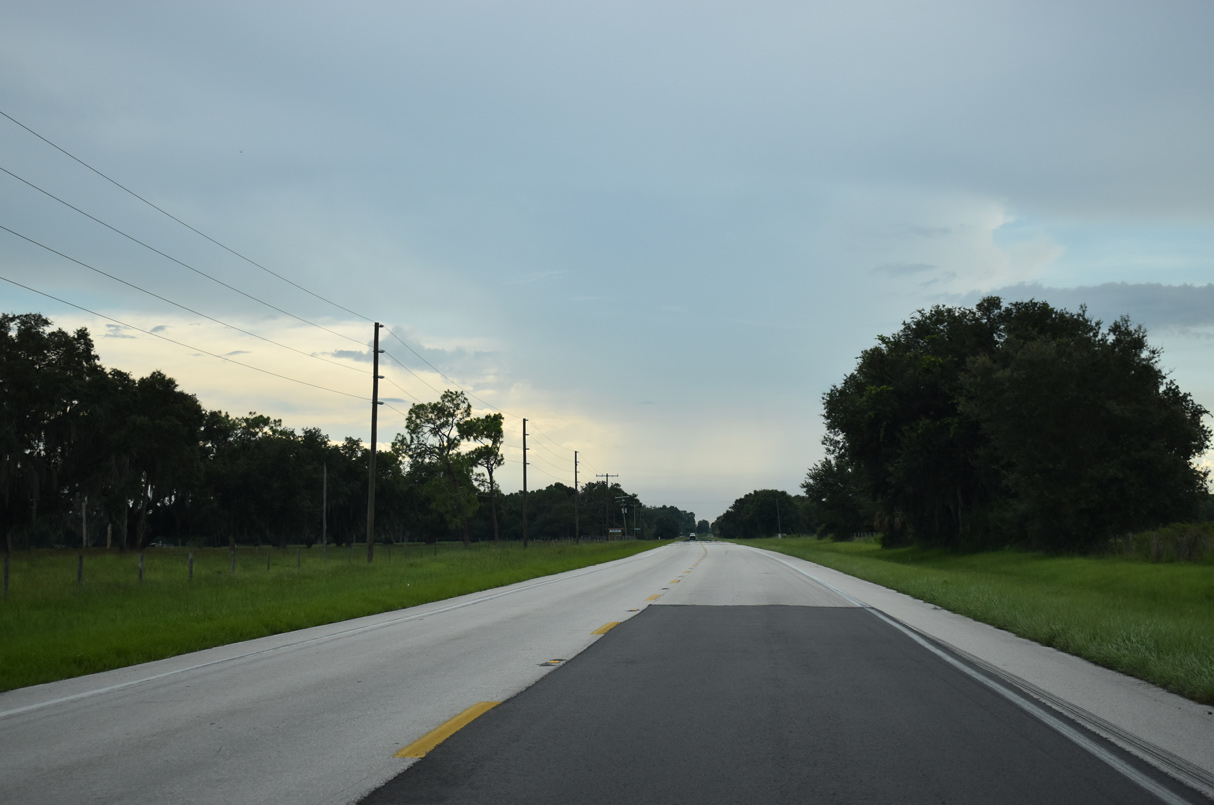
Passing the old alignment along Old Crewsville Road, SR 66 shifts northward through an S-curve beyond Charlie Anderson Road.
07/02/19
07/02/19
07/02/19
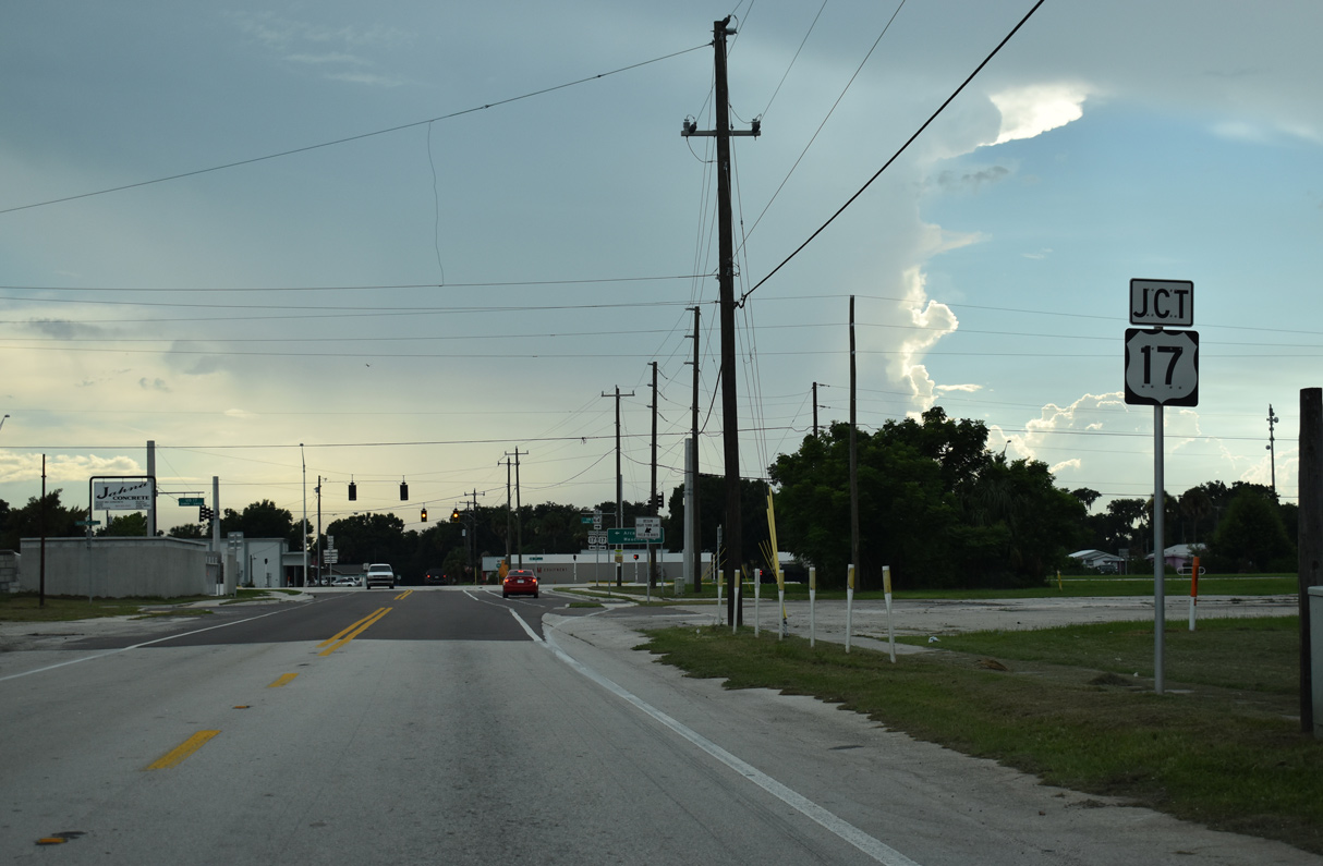
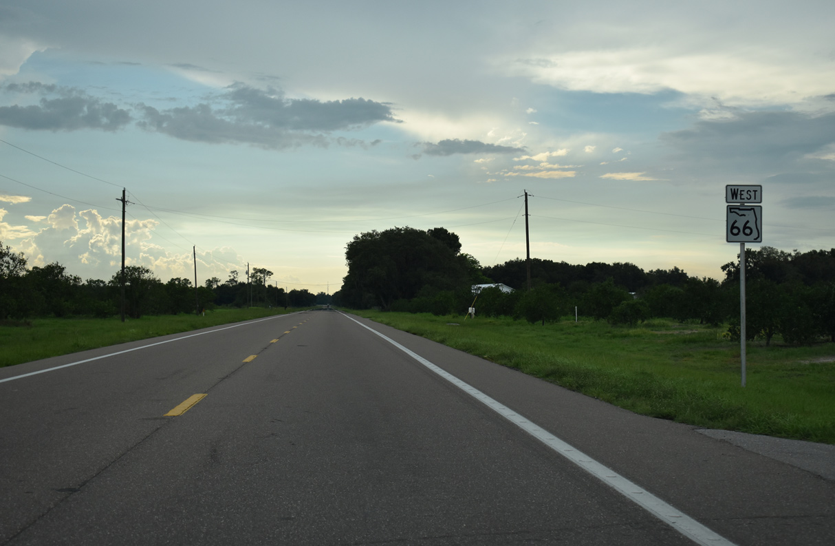
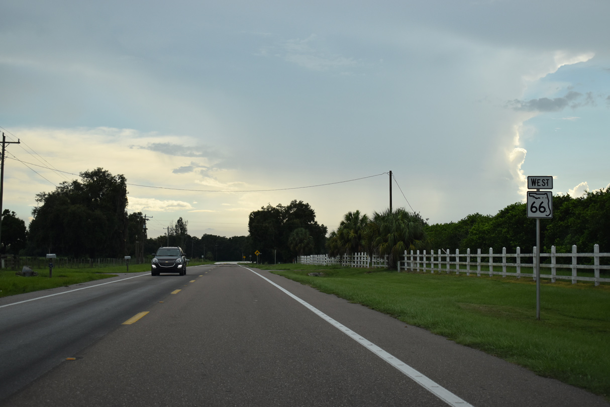
SR 66 enters the Zolfo Springs residential street grid along 6th Street E. The state road concludes at U.S. 17.
07/02/19
07/02/19
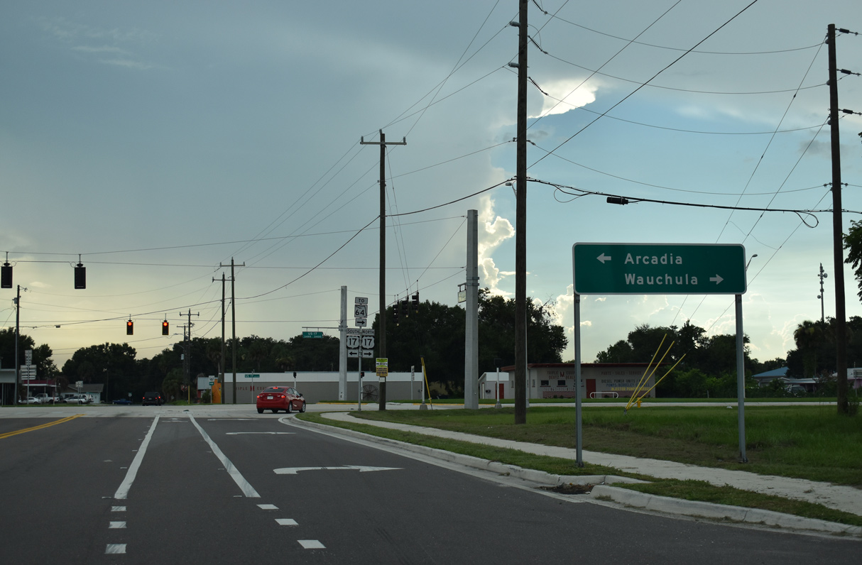
U.S. 17 south leads to the DeSoto County seat of Arcadia and north to the Hardee County seat of Wauchula.
07/02/19
07/02/19
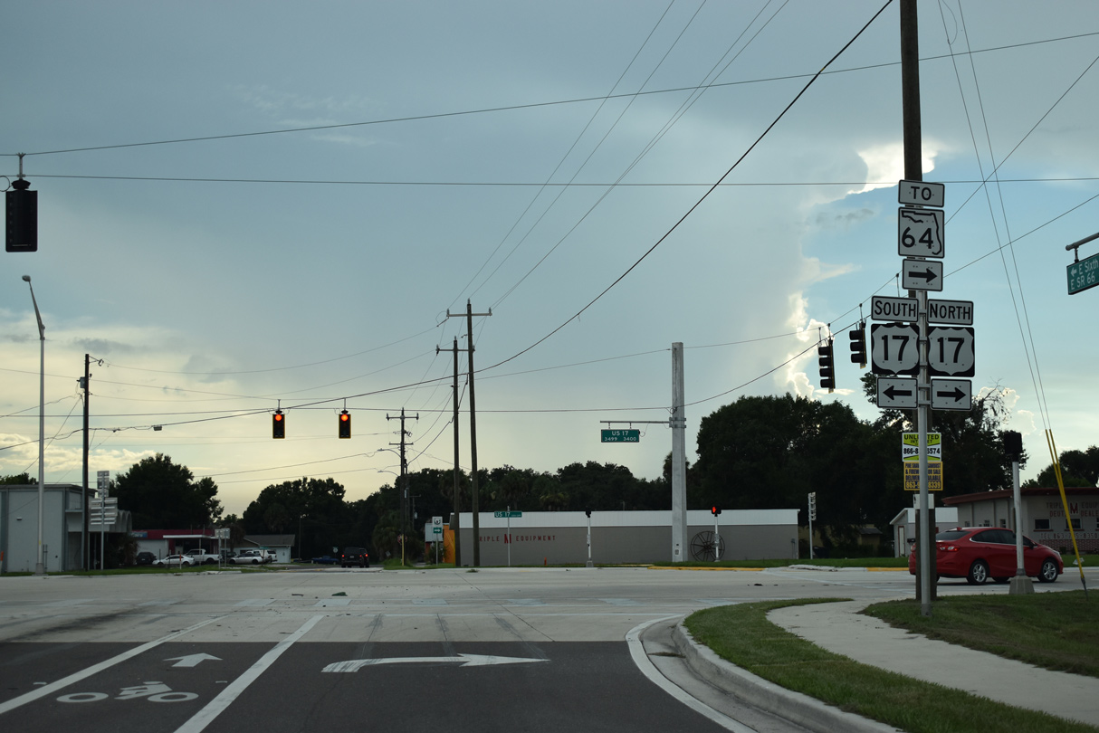
U.S. 17 meets SR 64 a half mile to the north. SR 64 extends west to Bradenton and Anna Maria Island.
07/02/19
07/02/19
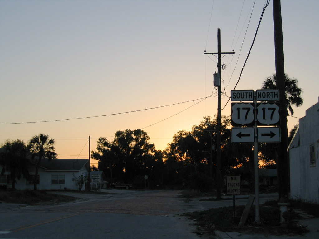
The former west end of SR 66 at U.S. 17 on Main Street. 6th Street W extends two blocks west as an unpaved road.
03/24/06
03/24/06
Photo Credits:
- Alex Nitzman: 03/24/06, 02/16/08
- AARoads: 02/16/08
- Alex Nitzman, JP Nasiatka: 07/02/19
Connect with:
Page Updated Monday May 13, 2024.