
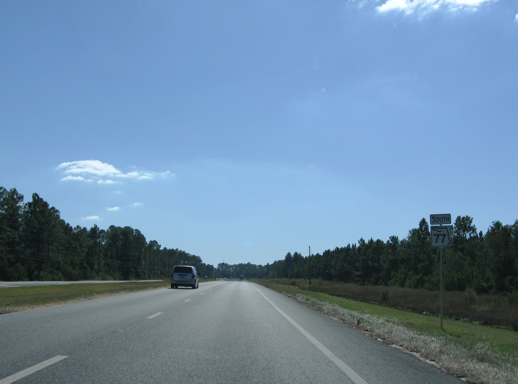
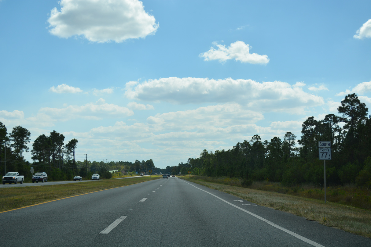
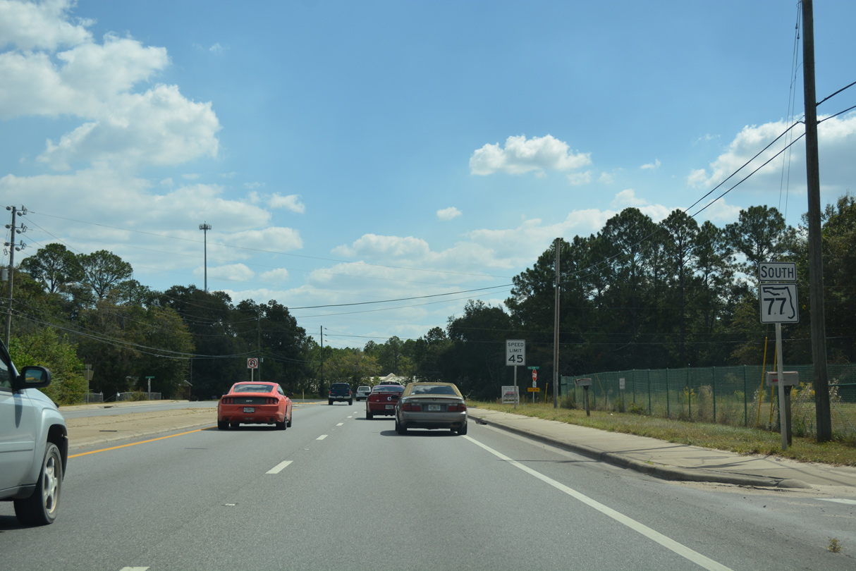
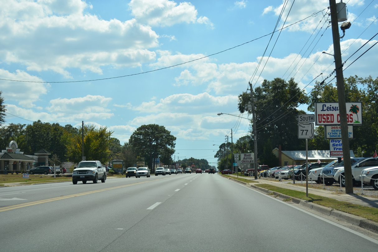
State Road 77 South
 South
South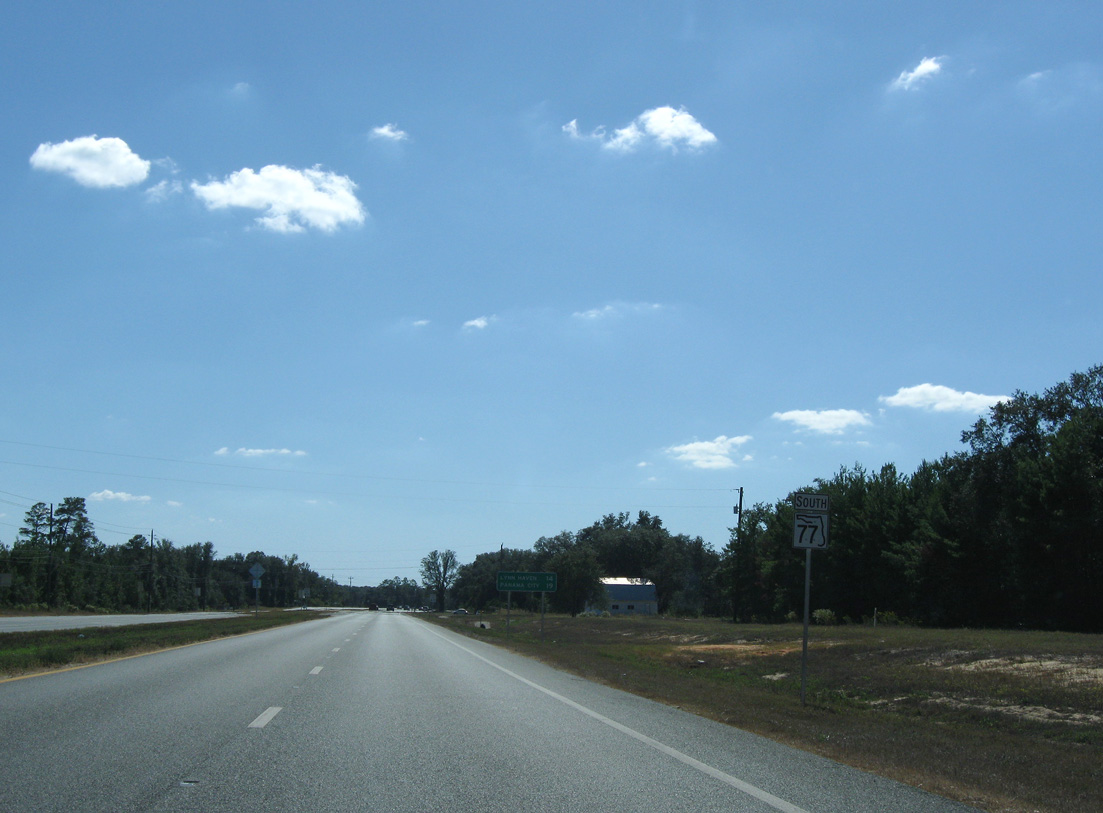
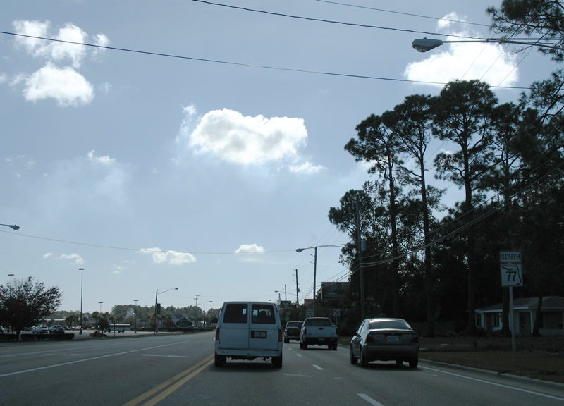
Advancing south on SR 77 from SR 20 in the Sand Hills area of north Bay County.
10/30/10
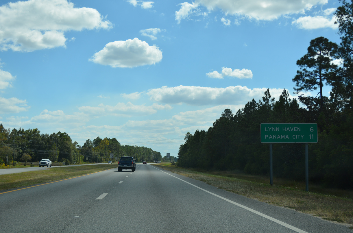
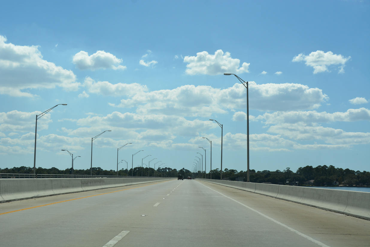
14 miles separate SR 20 from the city of Lynn Haven along SR 77 south across North Bay.
11/27/06
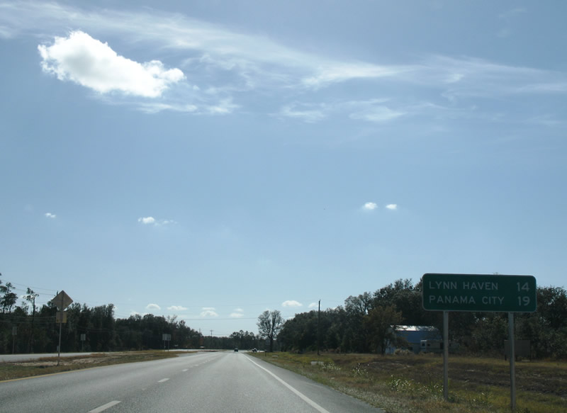
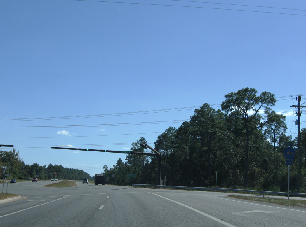
The eastern branch of Bay County Road 388 ties into SR 77 from the rural settlement of Bennett.
11/27/06
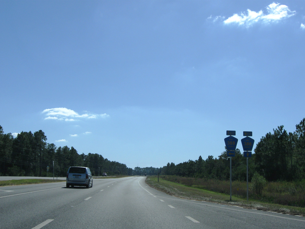
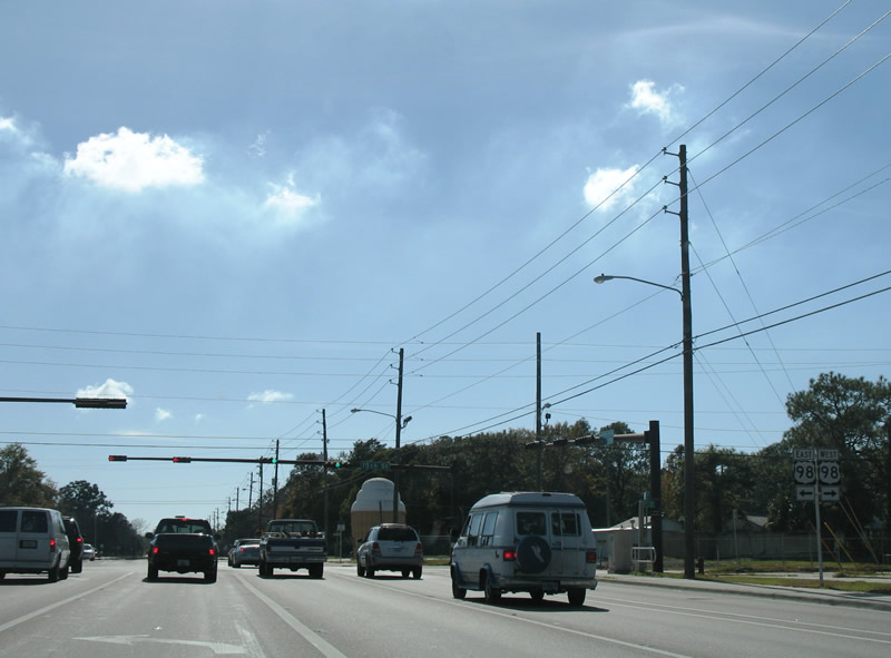
County Road 388 arcs 15.2 miles east to U.S. 231 at Youngstown. An implied overlap with SR 77 leads motorists 0.9 miles south to the upgraded western branch of CR 388 at Vicksburg.
10/30/10
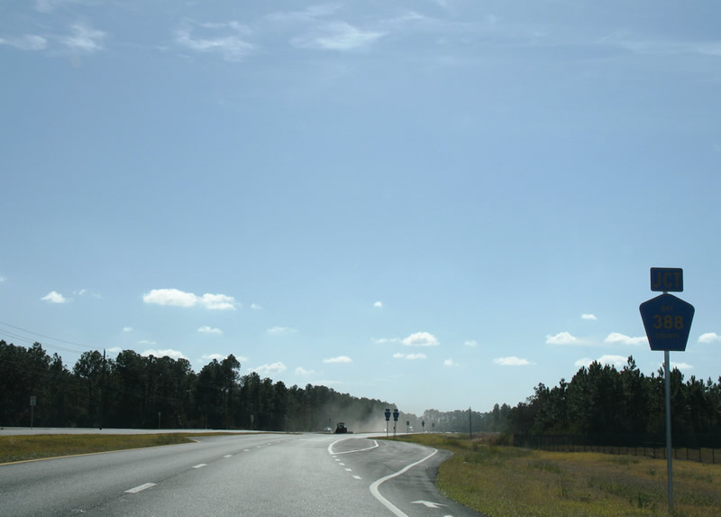
SR 77 reassurance marker posted between the intersections with CR 388 east and SR 388 west.
10/30/10
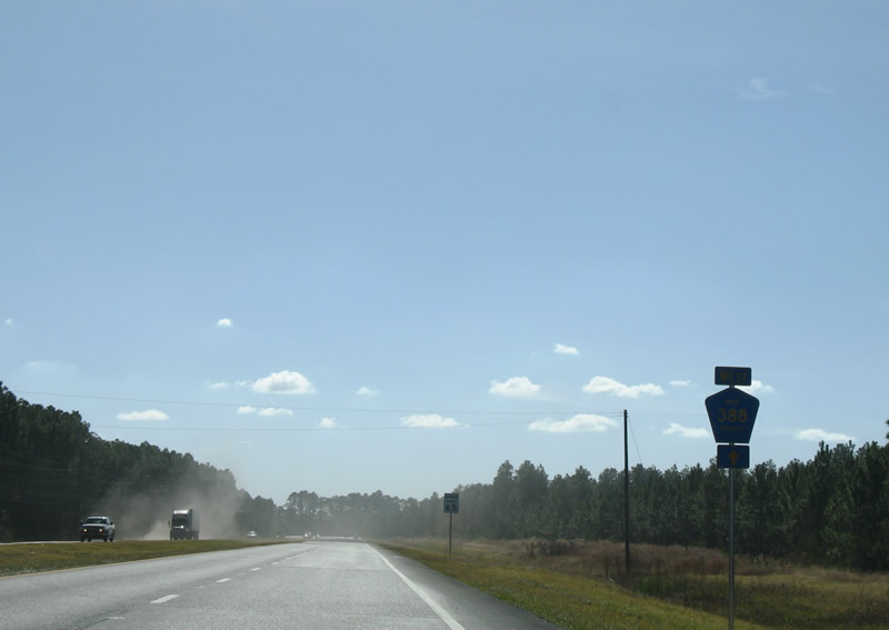
A trailblazer for Bay County Road 388 west followed the SR 77 southbound shield. The forthcoming western branch was transferred to state maintenance in June 2013.
11/27/06
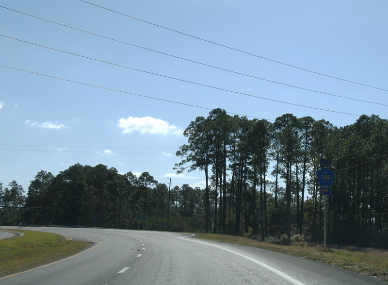
State Road 388 links SR 77 with Northwest Florida Beaches International Airport (ECP) and SR 79 at West Bay along a 12.34 mile course.
11/27/06
Northwest Florida Beaches International Airport (ECP) commenced operations on May 22, 2010. The airport represents the catalyst for economic development envisioned along SR 388, and subsequent widening with four lane the entire route between SR 77 at Vicksburg and SR 79.
10/30/10
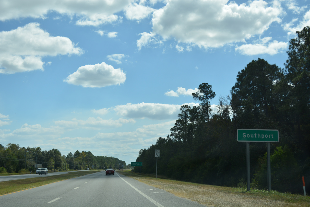
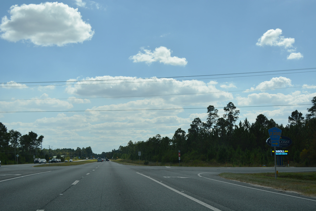
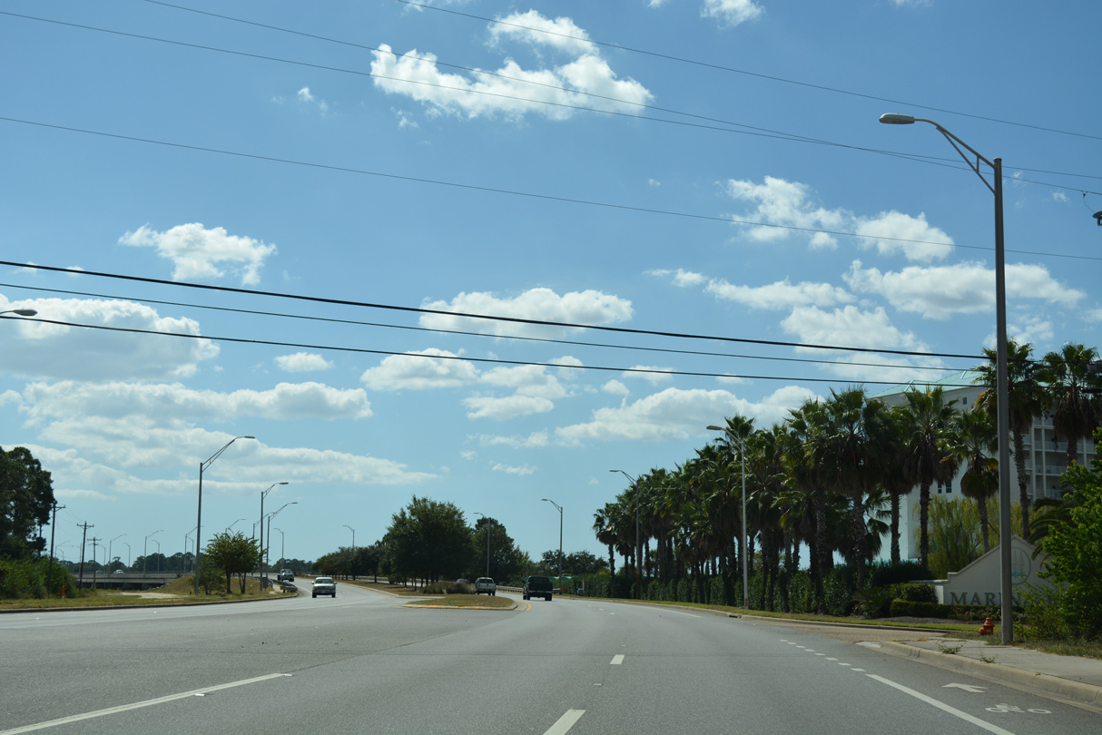
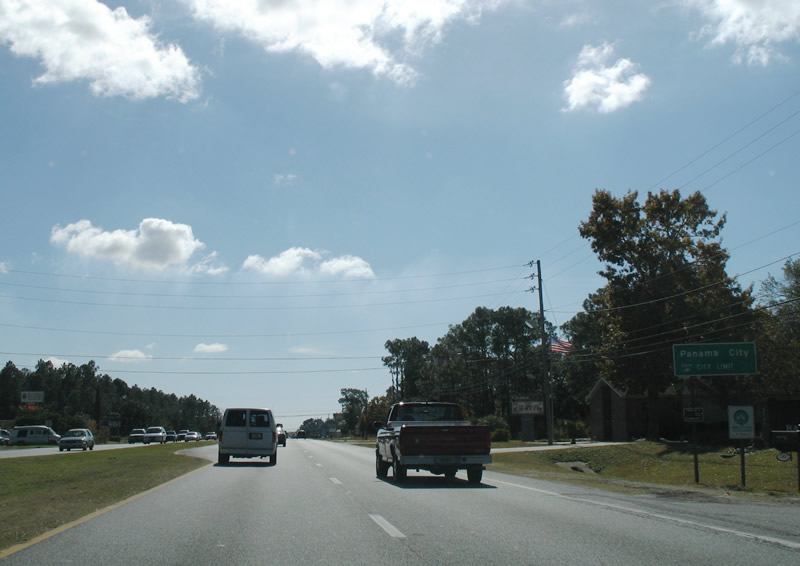
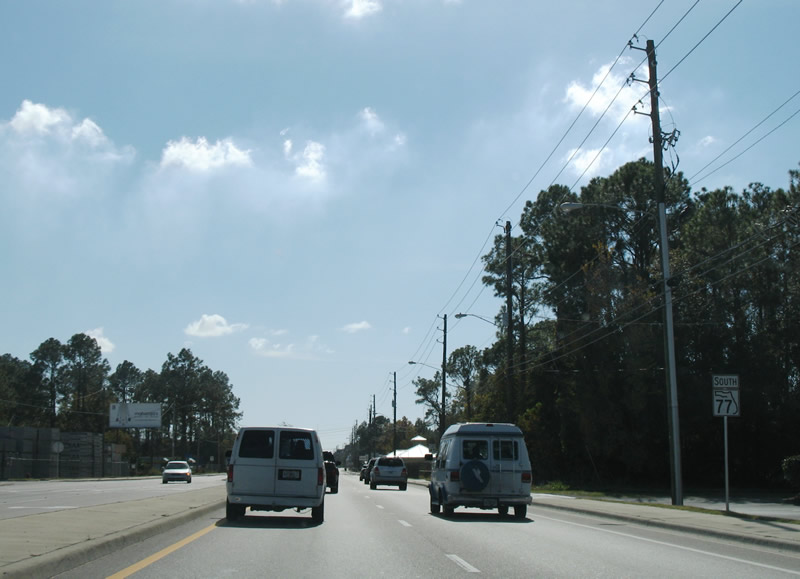
Continuing south from SR 388, SR 77 enters the unincorporated community of Southport.
10/13/16
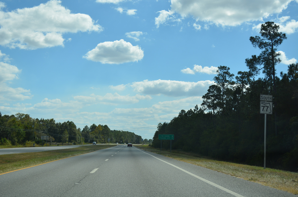
SR 77 continues six miles from Vicksburg to Lynn Haven.
10/13/16
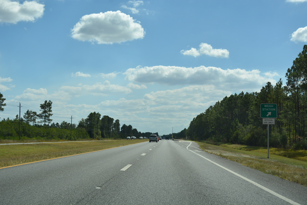
A southbound weigh station was added along SR 77 ahead of CR 2300 in 2016.
10/13/16
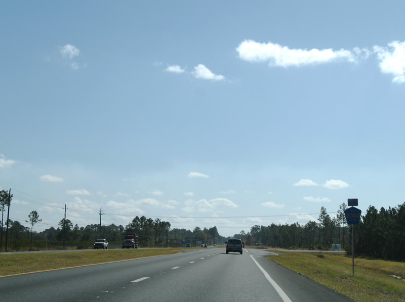
Approaching County Road 2300 west to the North Bay Campus of Gulf Coast State College on SR 77 south. This shield assembly was removed by 2010.
11/27/06
County Road 2300 spurs 4.923 miles west from SR 77 to the Gulf Power Lansing Smith Power Plant located off Alligator Bayou. CR 2300 was formerly the northern branch of Florida Secondary 391.
10/13/16
The speed limit along SR 77 south reduces from 65 to 45 miles per hour between CR 2300 and 1st Street in Southport.
10/13/16
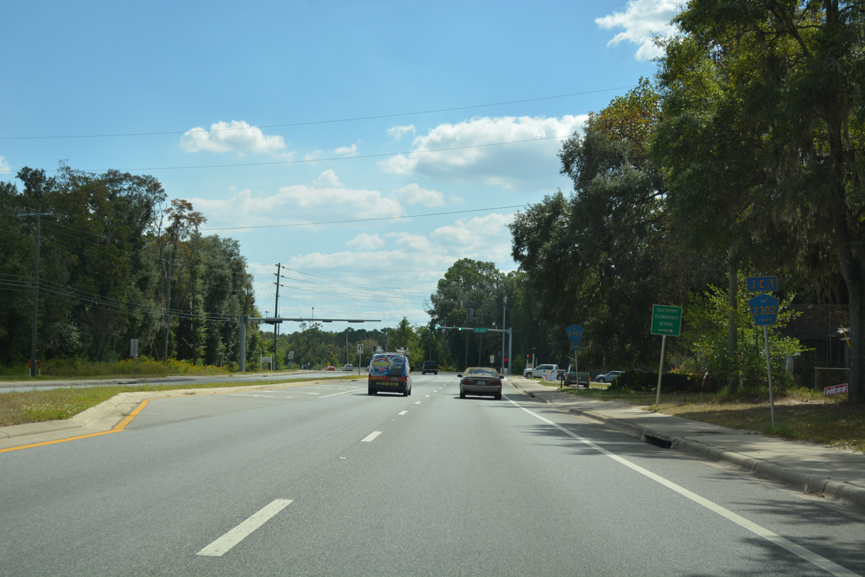
County Road 2302 ties into SR 77 east from Bridge Street at Southport.
10/13/16
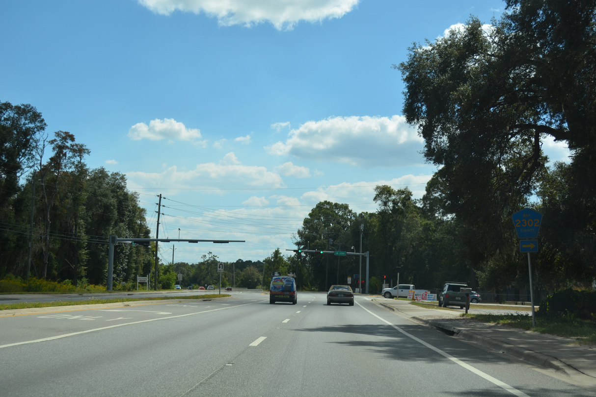
County Road 2302 arcs 1.342 miles southwest from SR 77 to Escambia Avenue and 13th Street across Fanning Bayou. The residential road was previously numbered as Florida Secondary 77A.
10/13/16
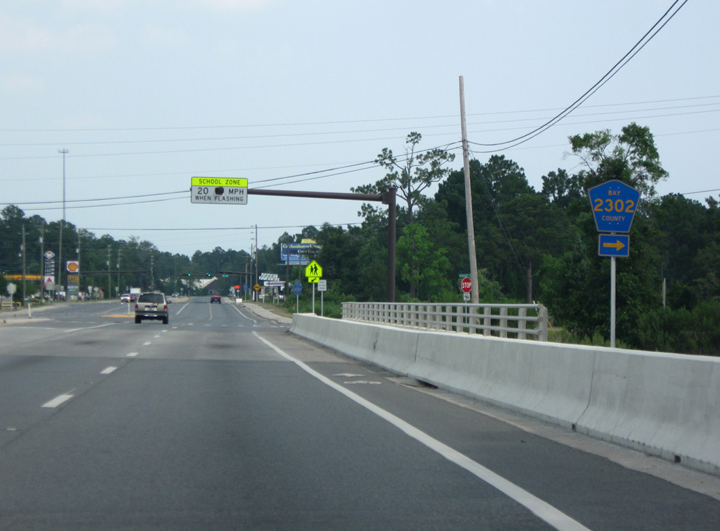
Prior to 2009, Bay County Road 2302 looped west along Bridge Street and Liberty Avenue, connecting with its alignment across Fanning Bayou. The new route was constructed north of Southport Elementary School.
06/20/09
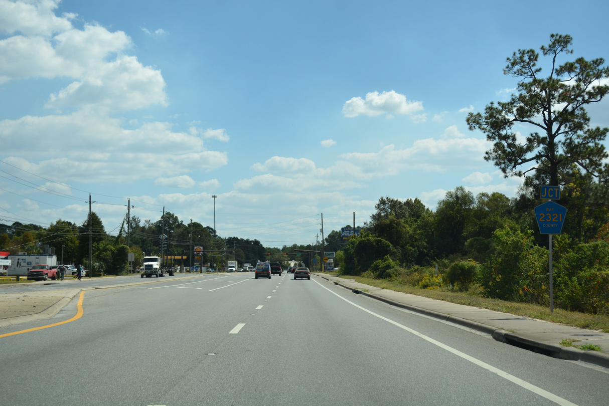
SR 77 crosses Fanning Bayou ahead of County Road 2321 east. Arcing southeast 6.14 miles to U.S. 231 at College Station, CR 2321 replaced the eastern branch of Florida Secondary 77A.
10/13/16
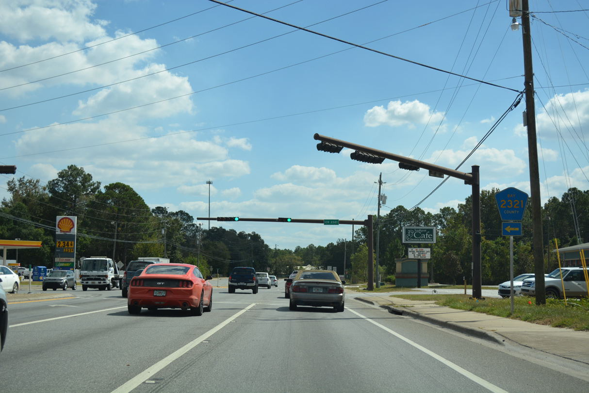
SR 77 south at Bay County Road 2321 east. The county road provides one of two routes across North Bay between northern Bay County and Panama City . CR 2321 connects with Resota Beach Road (former CR 2302) north to Resota Beach ahead of Deer Point Lake.
10/13/16
Continuing south along a peninsula between Fanning Bayou and Gainer Bayou, SR 77 navigates along a series of S-curves toward the bridge across North Bay.
10/13/16
Lynn Haven's city limits include a swath of land at the southbound approach to the Bailey Bridge over North Bay.
10/13/16
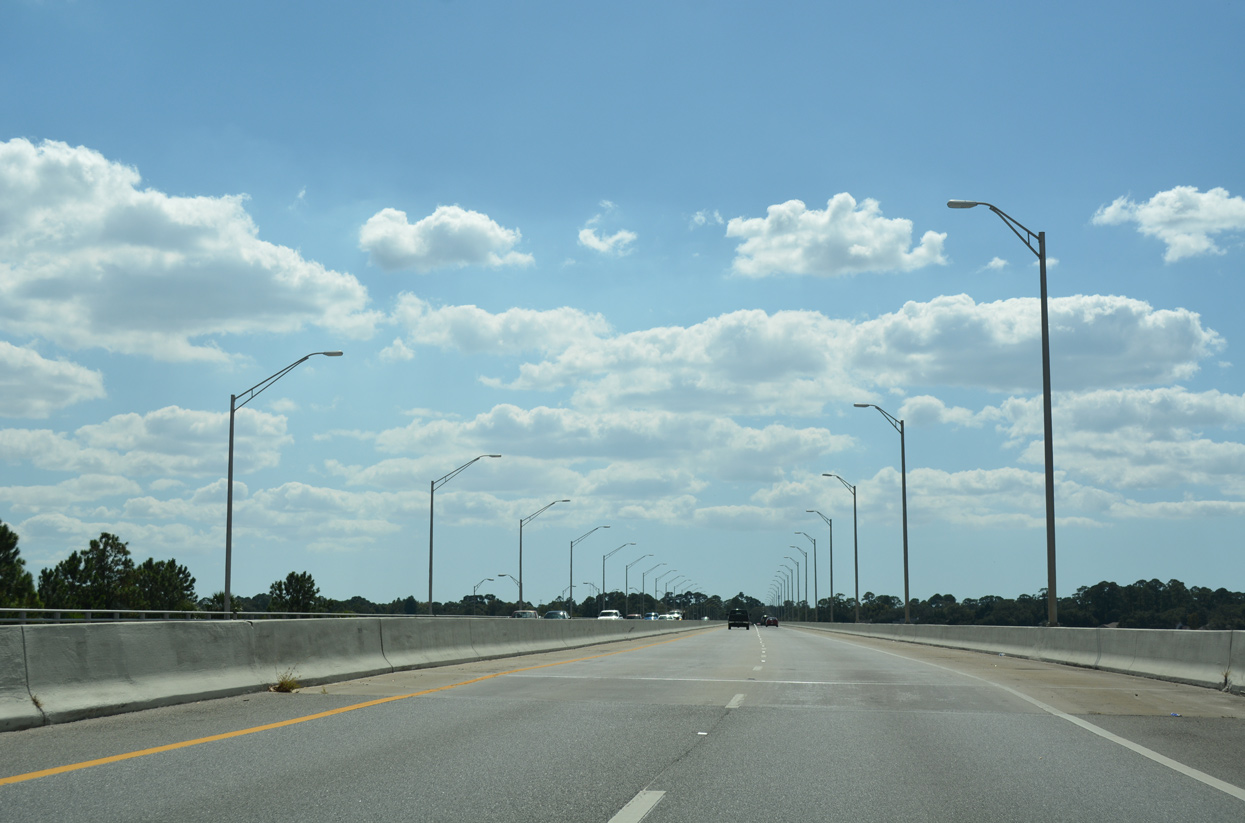
SR 77 spans North Bay across a 3,596 foot long span. Completed in 1988, the low level bridge provides just 18.4 feet of vertical clearance.1 The Bailey Bridge, a steel stringer bridge dating from 1946, remains alongside SR 77 as a pedestrian span.2
10/13/16
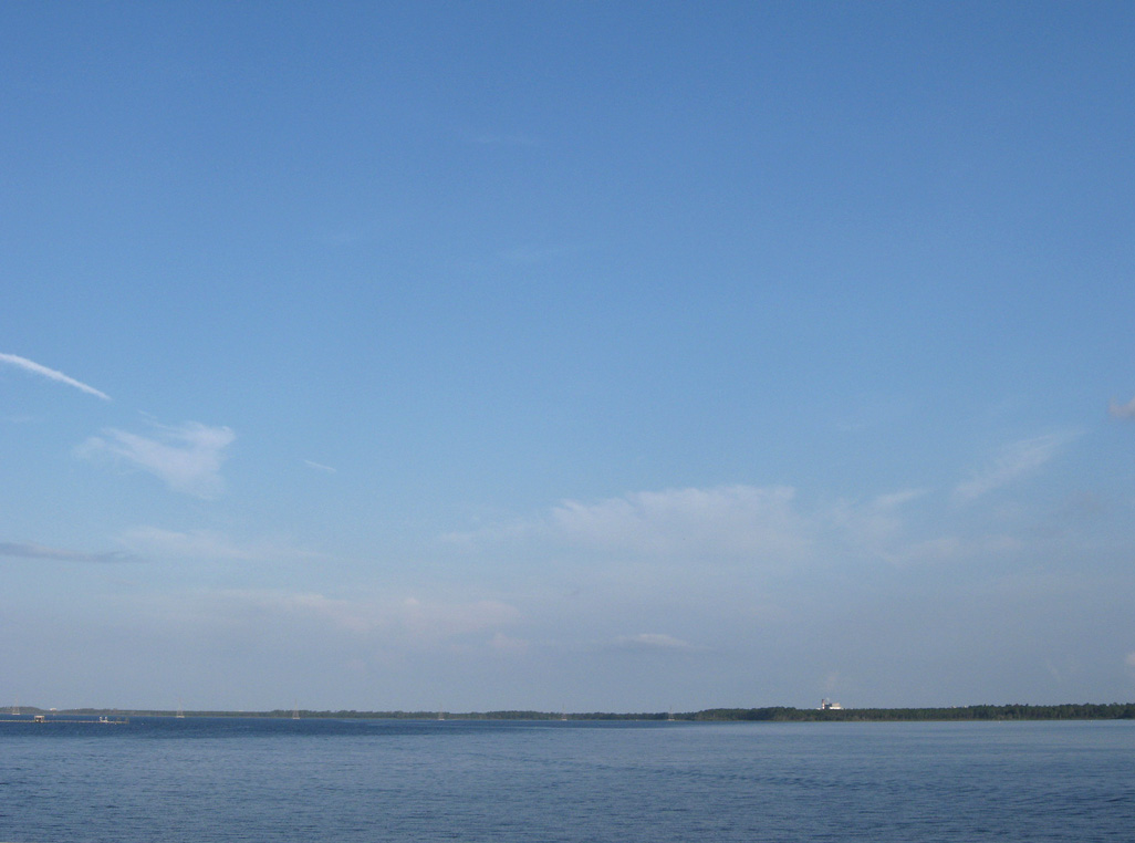
Fannin Bayou opens into North Bay west of SR 77 between Haven Point and Newman Bayou.
06/27/09
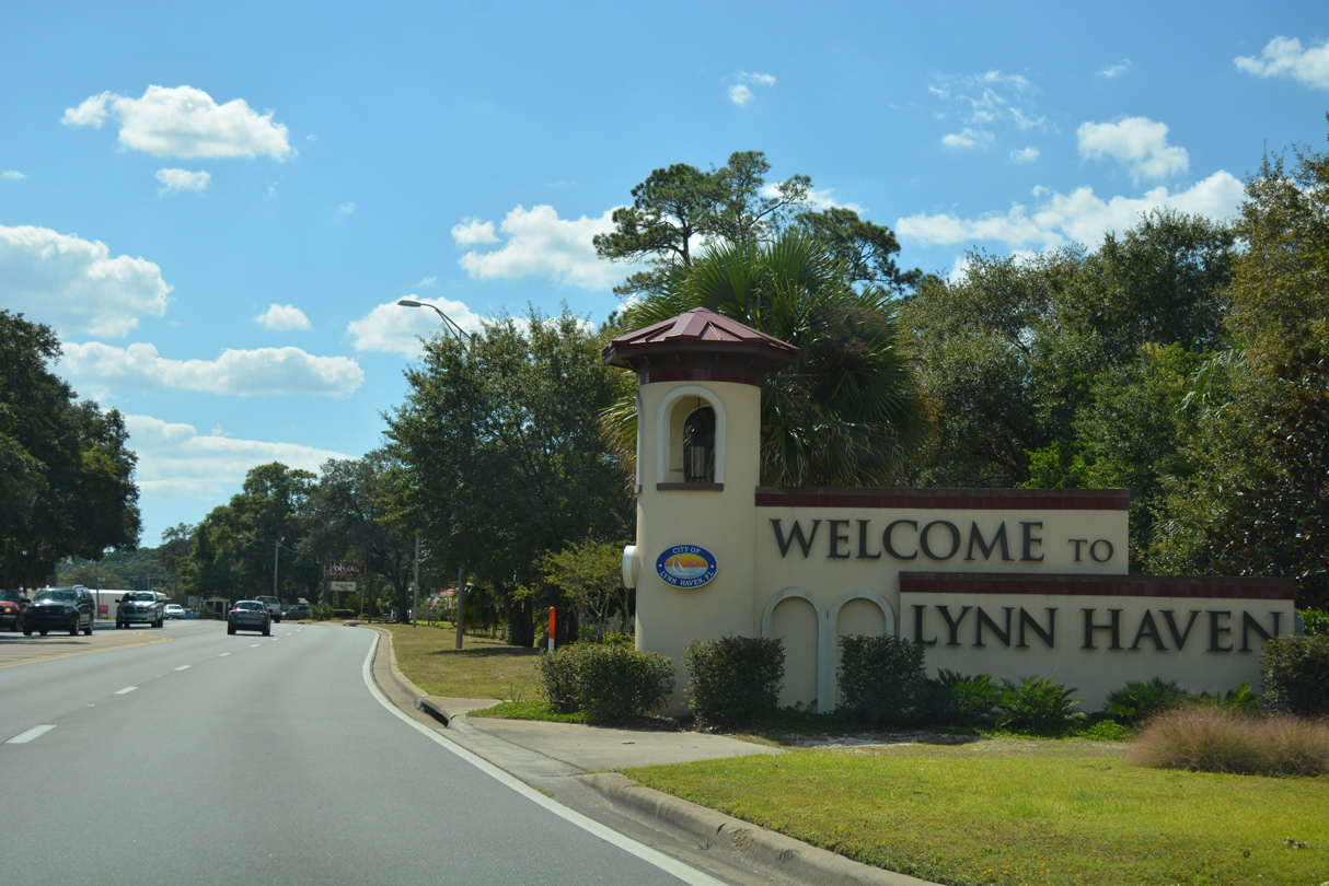
SR 77 enters the Lynn Haven residential street grid from North Bay beside Leslie Porter Park.
10/13/16
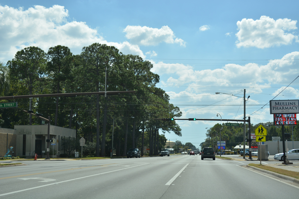
The traffic signals along SR 77 (Ohio Avenue) at Ninth Street serve Lynn Haven Elementary School to the west. 9th Street east across Anderson Bayou and 8th Street east from there represent the alignment of former CR 390A.
10/13/16
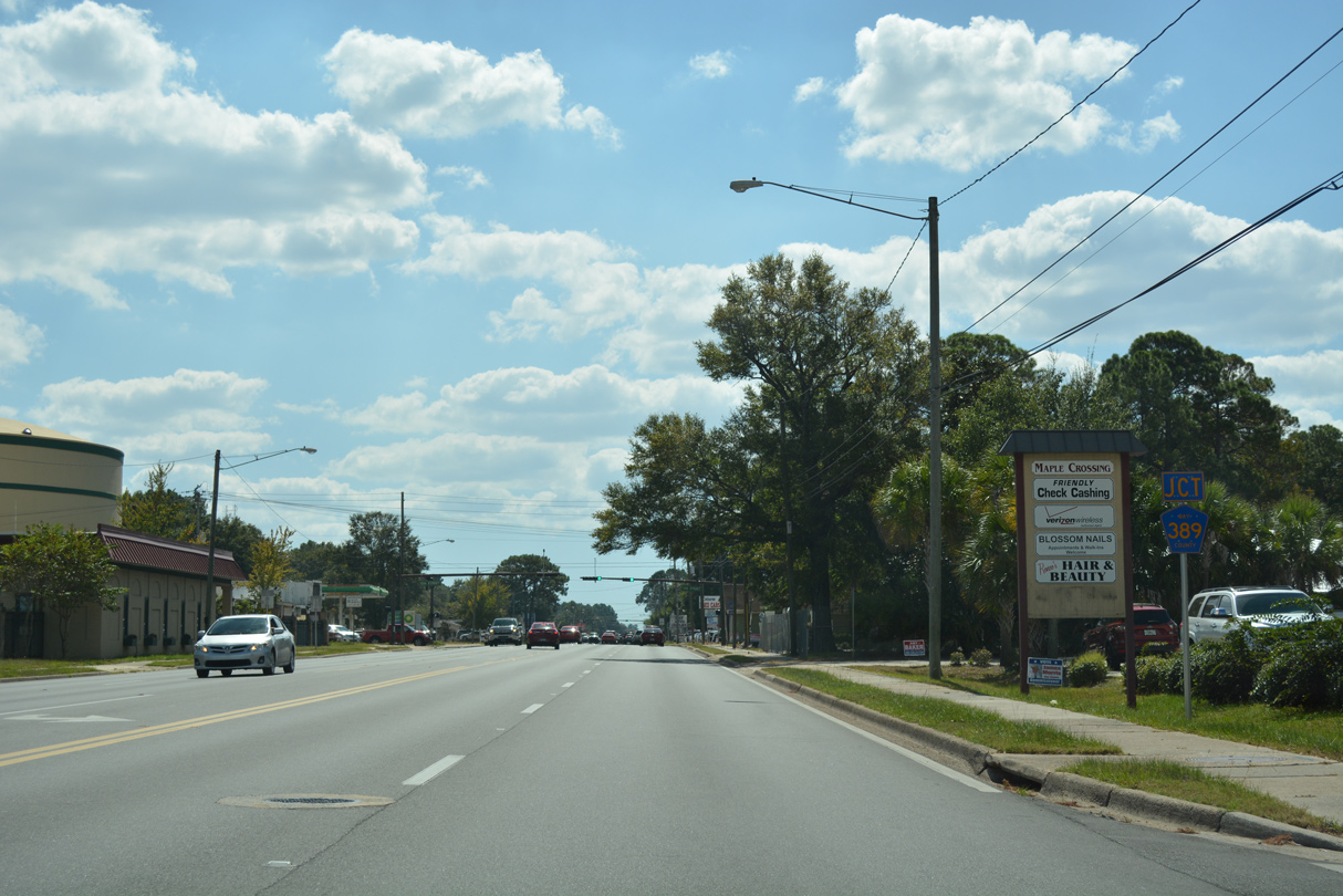
Three blocks south of 9th Street (old CR 390A), SR 77 (Ohio Avenue) meets the west end of Bay County Road 389 (E 12th Street).
10/13/16
Bay County Road 389 loops southeast from SR 77 (Ohio Avenue) to U.S. 231 and SR 389 (East Avenue) at Hiland Park. SR 389 extends from there to Springfield, Cedar Grove and east Panama City.
10/13/16
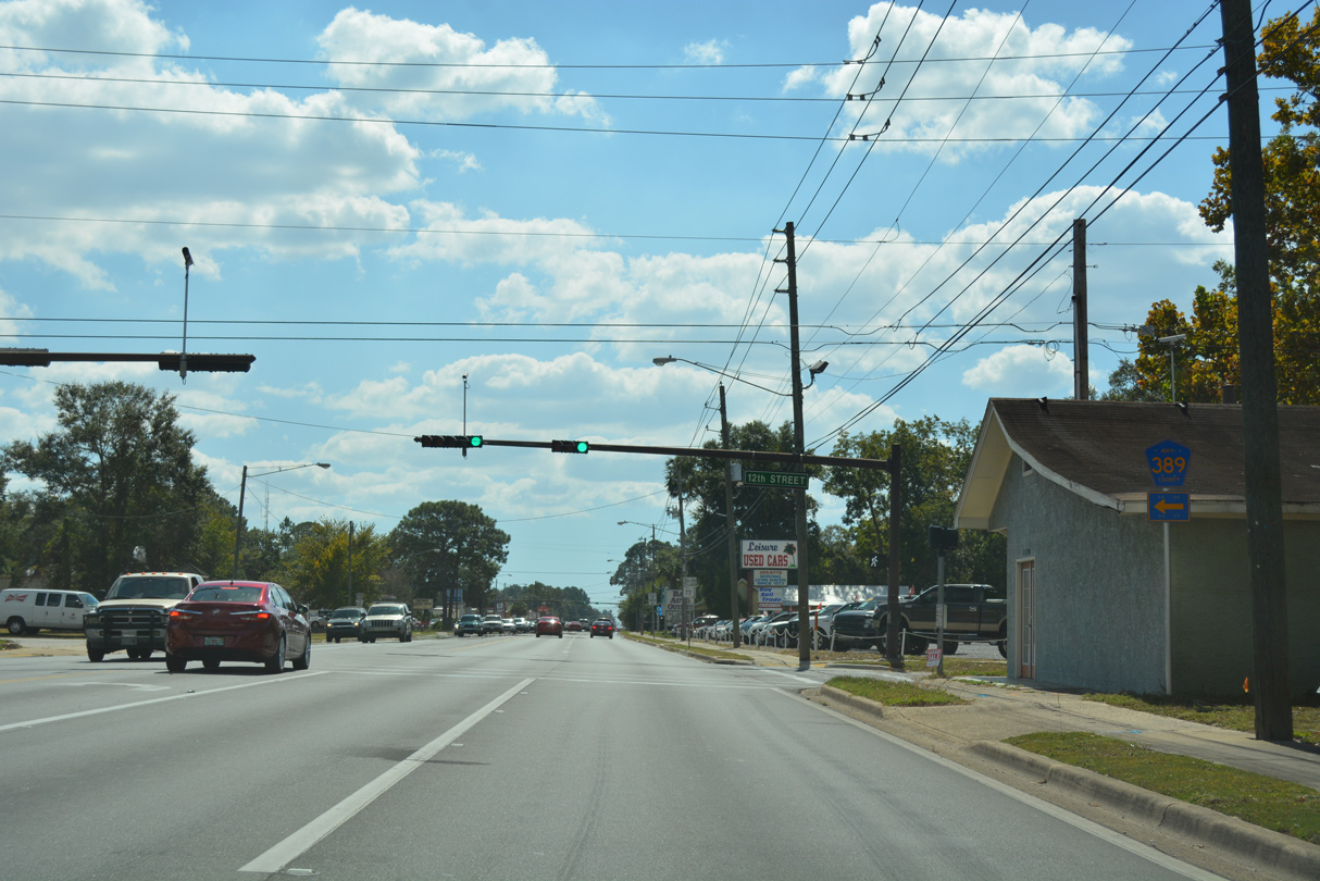
SR 77 shield posted after County Road 389 (12th Street). Ohio Avenue constitutes a five lane commercial boulevard through central Lynn Haven.
10/13/16
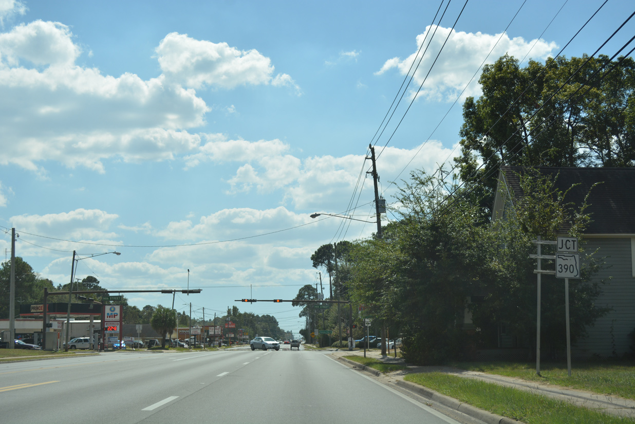
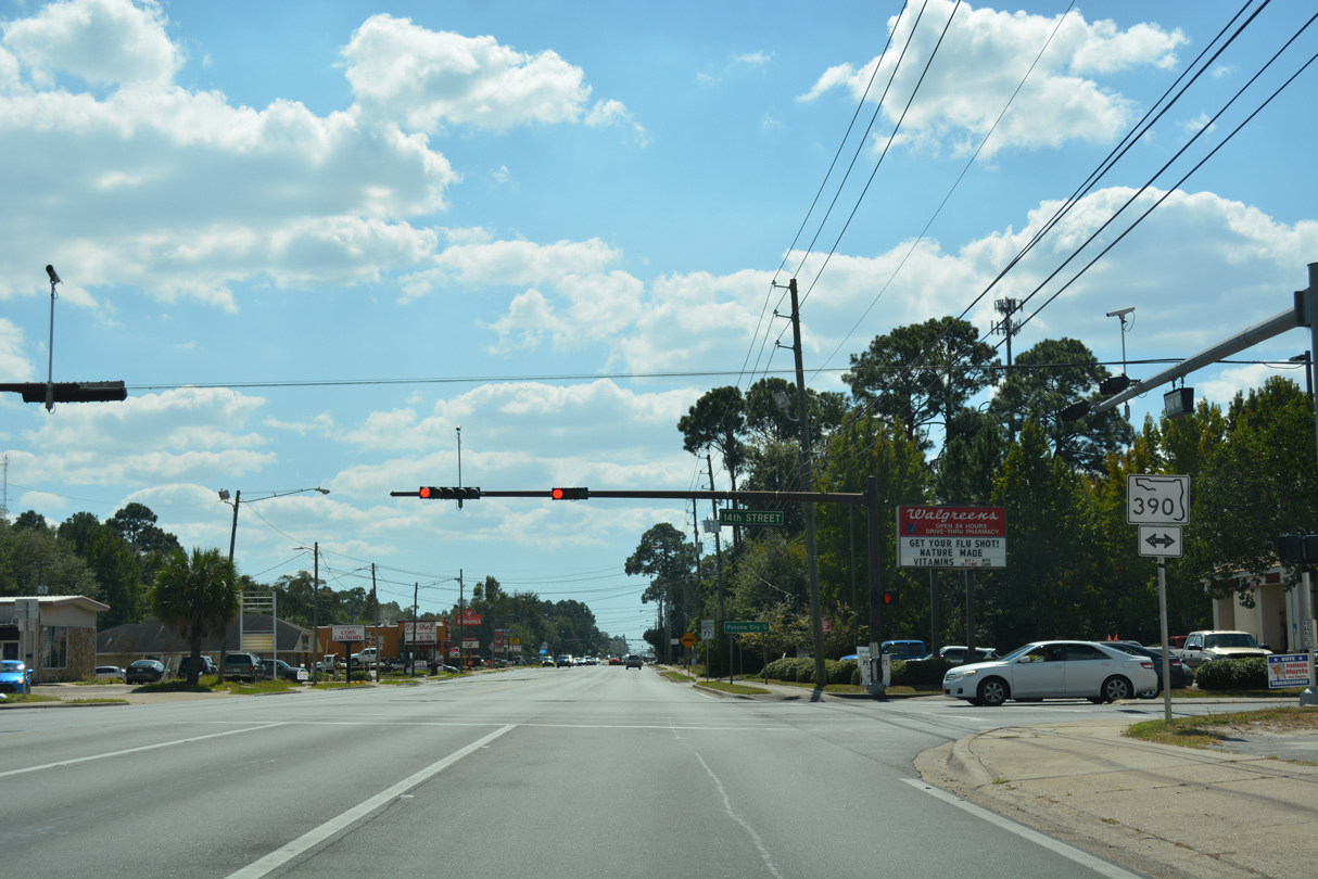
Advancing two blocks from CR 389, SR 77 (Ohio Avenue) meets SR 390 (14th Street). SR 390 replaced CR 390 east from Ohio Avenue to Mill Bayou in east Lynn Haven and U.S. 231 at College Station as a result of a mileage swap between FDOT and Bay County in 2016.
10/13/16
14th Street leads SR 390 west to Tennessee Avenue south through western Lynn Haven. The state road winds along St. Andrews Boulevard to SweetBay, a master planned community built at the site of Panama City Bay County International Airport, Pretty Bayou and Beck Avenue south into Panama City.
10/13/16
SR 77 (Lynn Haven Parkway) enters the city of Panama City south of the intersection with County Road 2312 (Baldwin Road).
11/27/06
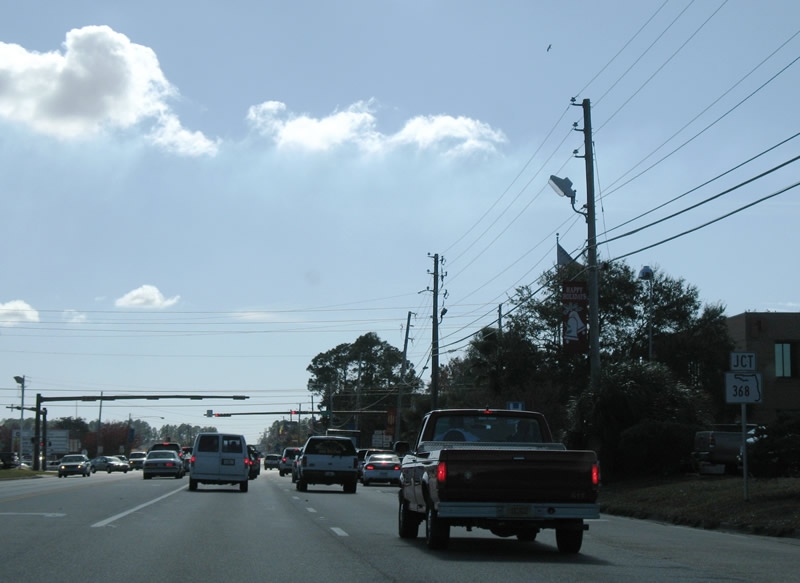
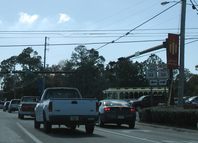
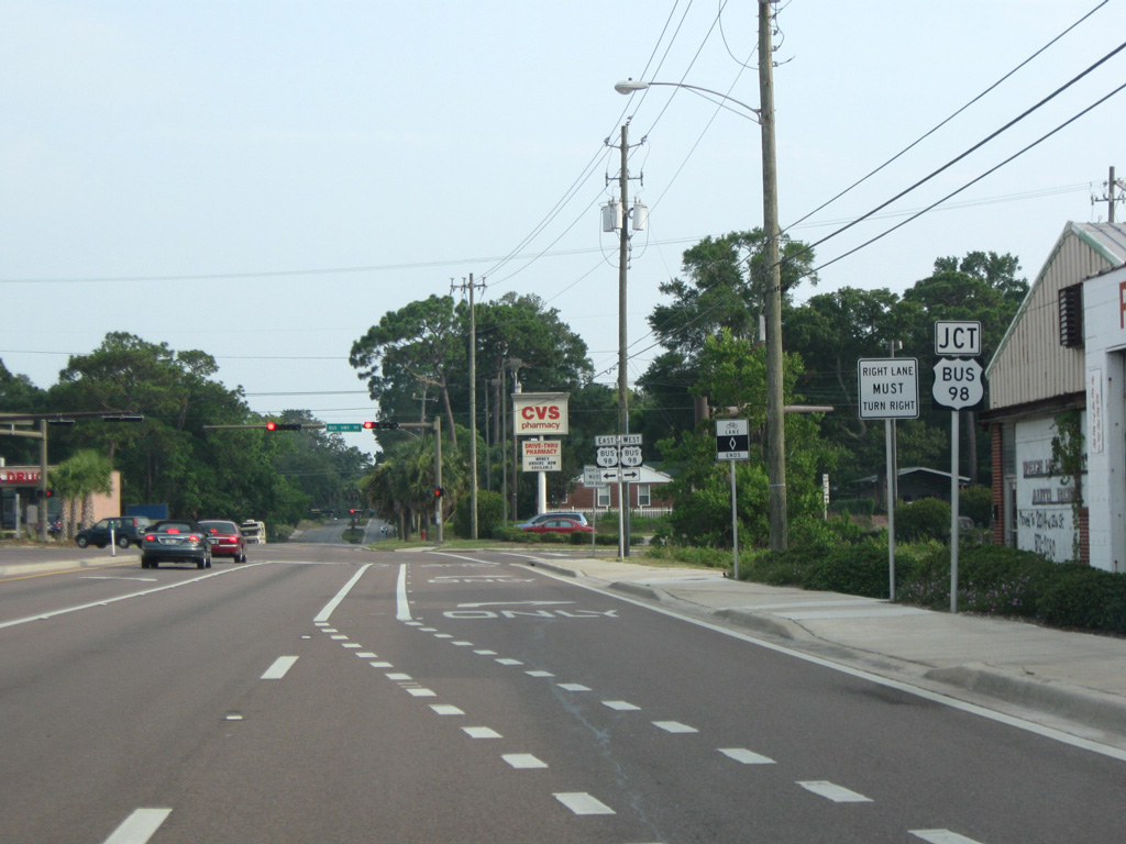
SR 368 shield posted ahead of the intersection with E 23rd Street. SR 368 comprises a five lane commercial boulevard between U.S. 231 at Panama City Mall and U.S. 98 by Gulf Coast State College.
11/27/06
SR 368 (23rd Street) provides a bypass route of U.S. 98 between U.S. 231 and the Hathaway Bridge across St. Andrew Bay to Panama City Beach.
11/27/06
SR 77 (Martin Luther King, Jr. Boulevard) runs along the west side of Panama City Mall between E 23rd Street and U.S. 231.
11/27/06
U.S. 231 angles southwest from Hiland Park into Panama City. Road work scheduled to begin in 2023 upgrades the intersection with SR 77 (Martin Luther King, Jr. Boulevard) into a single point urban interchange (SPUI).
11/27/06
Continuing south from U.S. 231 to U.S. 98 Business (6th Street), SR 77 (Cove Boulevard) expands with traffic separated by a concrete or decorative median.
11/27/06
U.S. 98 (E 15th Street) crosses SR 77 at the succeeding traffic light along Cove Boulevard southbound. An often congested commercial route, 15th Street forms part of an arterial bypass with Tyndall Parkway around central Panama City.
11/27/06
U.S. 98 (E 15th Street) travels southeast through Cedar Grove, Springfield and Callaway en route to Tyndall A.F.B. and Mexico Beach. U.S. 98 west joins Panama City with Panama City Beach, South Walton County, Destin and Fort Walton Beach.
11/27/06
SR 77 concludes at U.S. 98 Business (6th Street) near Bay Medical Center in Panama City. This shield assembly was removed during redevelopment of the adjacent parcel.
06/20/09

U.S. 98 Business follows 6th Street west by Massalina Bayou into Downtown Panama City. Spanning Watson Bayou to the east, U.S. 98 Business continues along 5th Street to the city of Springfield. Cove Boulevard extends south as a local road to Bunkers Cove.
10/17/11
References:
- SR77 over North Bay, Bay County, Florida. http://bridgereports.com/1082353 BridgeReports.com.
- Bailey Bridge. http://bridgehunter.com/fl/bay/bailey/ Bridgehunter.com.
Photo Credits:
- ABRoads: 06/27/09, 10/30/10
- Alex Nitzman, Justin Cozart: 11/27/06
- Alex Nitzman: 10/17/11, 10/13/16
- Brent Ivy: 06/20/09
Connect with:
Page Updated Tuesday October 16, 2018.