
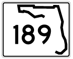
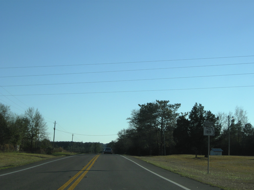
State Road 189 South - Northern Okaloosa County
 South
South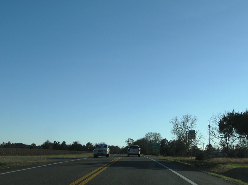
SR 189 continues the highway south from Alabama State Route 137 and Covington County into northern reaches of Okaloosa County near Rock Hill and Blackwater River State Forest. This view looks at the first southbound shield.
12/28/09
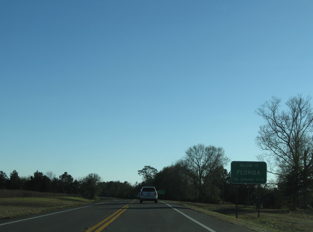
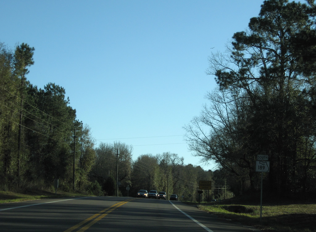
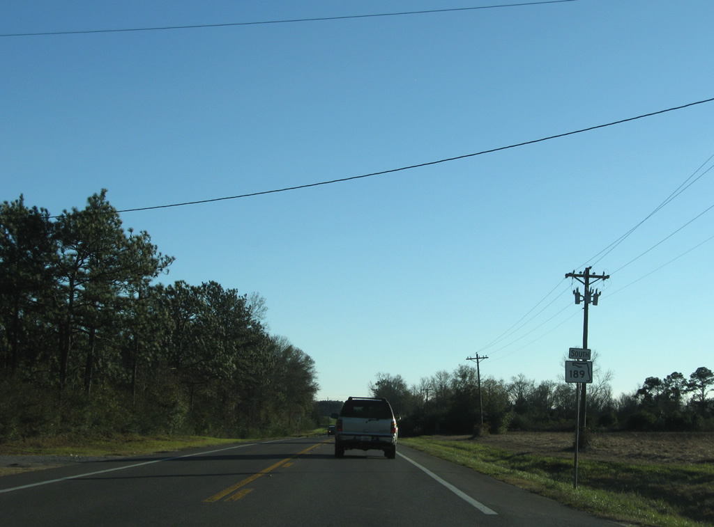
A nondescript Welcome to Florida sign follows as SR 189 commences the 14.41 mile drive to SR 4 at Baker.
12/28/09
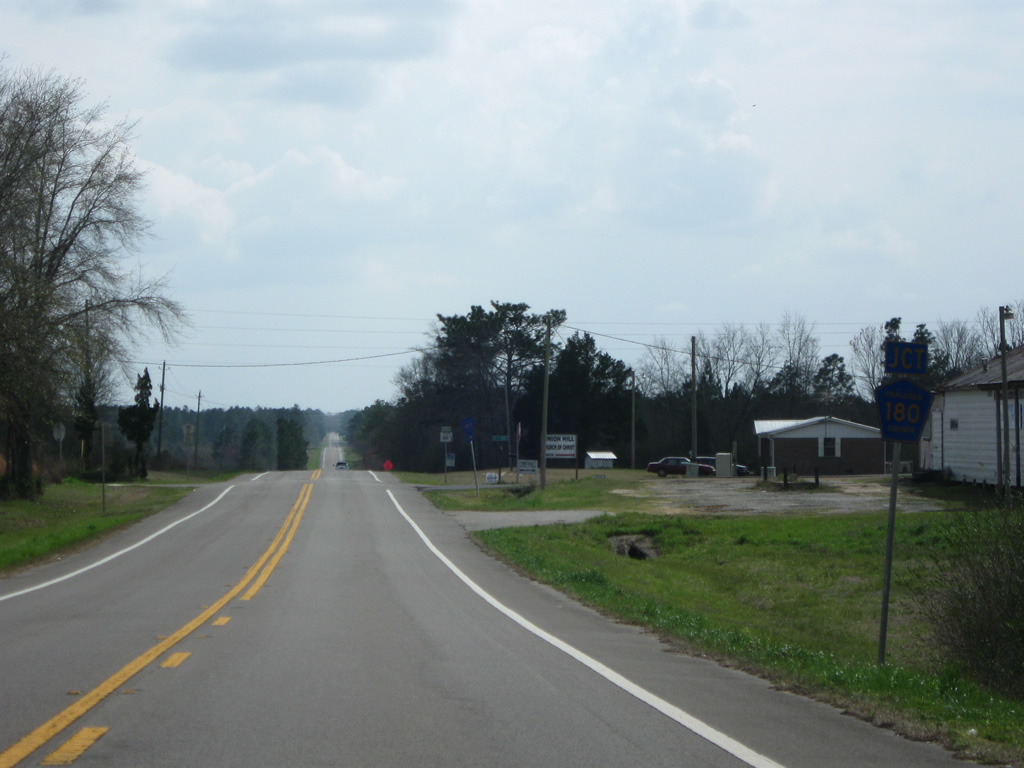
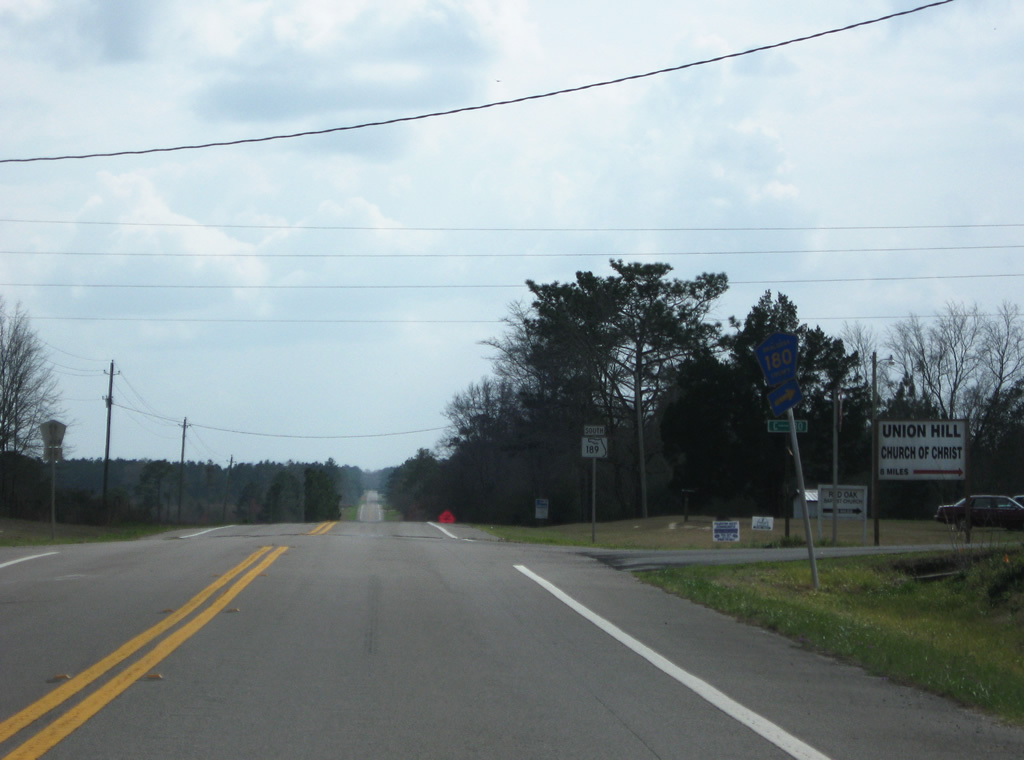
Passing through the settlement of Escambia Farms, SR 189 southbound advances to the intersection with Okaloosa County Road 180 west.
03/09/09
County Road 180 meanders northwest 7.44 miles from State Road 189 to northern reaches of Blackwater State Forest where the route transitions into Escambia County Road 51 in Alabama.
03/09/09
Continuing southward from Escambia Farms and County Road 180 along SR 189. Blackman lies 2.2 miles ahead.
12/28/09
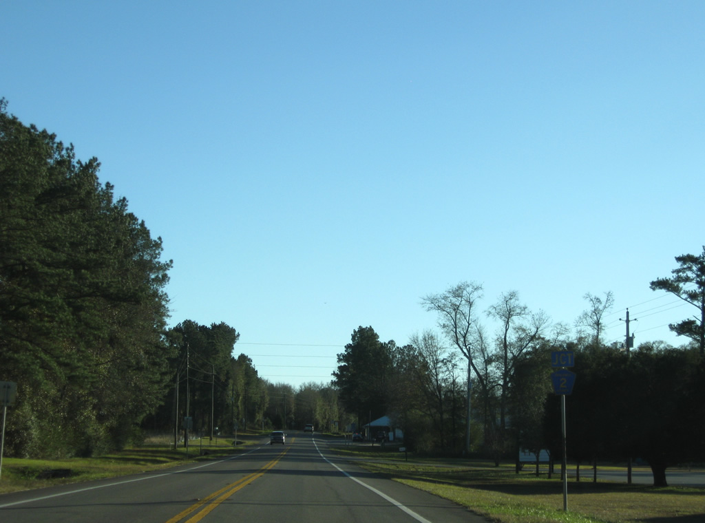
SR 189 south intersects the west end of Okaloosa County Road 2 at Blackman.
12/28/09
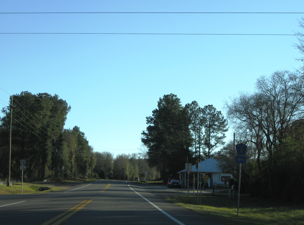
County Road 2 leads east 9.43 miles from Blackman to Oak Grove and SR 85 outside Laurel Hill. The county road resumes eastward from Laurel Hill into Walton County.
12/28/09
SR 189 bends southwest from Blackman and enters Blackwater River State Forest.
12/28/09
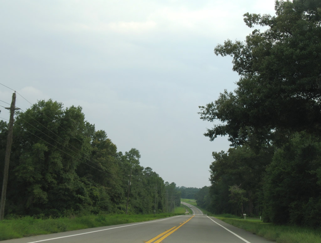
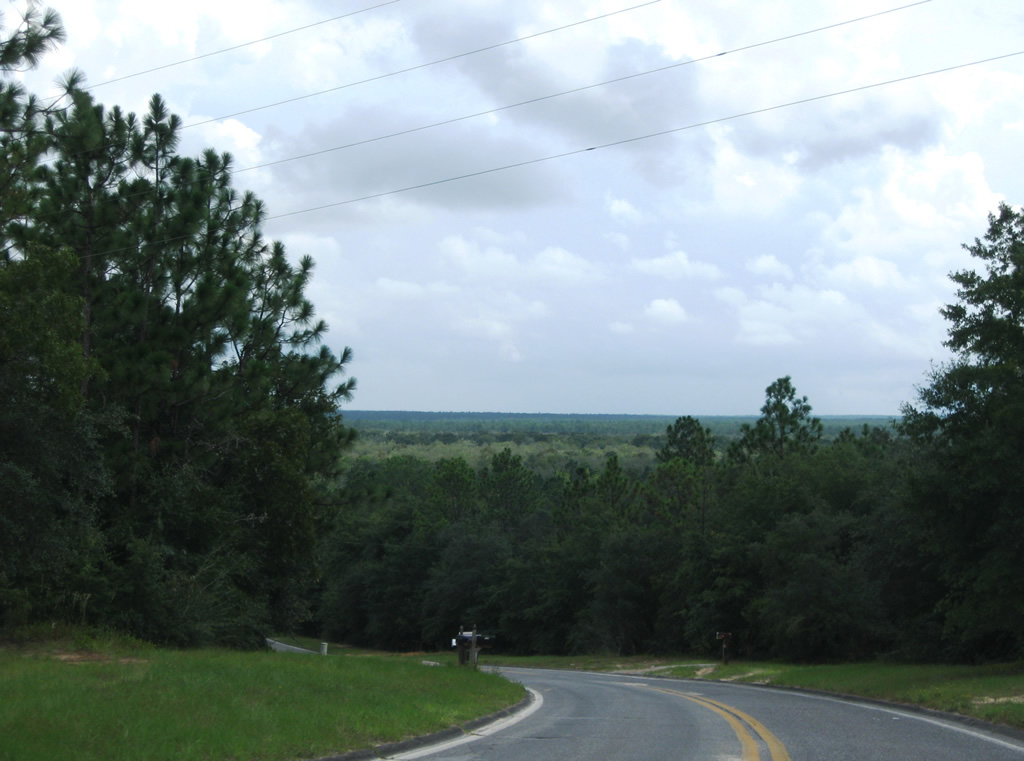
SR 189 travels several miles through Blackwater State Forest west of Karick Lake to emerge south of Cannon Town.
07/13/07
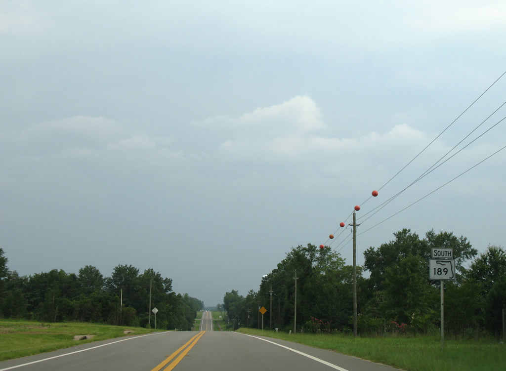
Southbound reassurance marker that was posted near Cannon Town and Nubbin Ridge.
07/13/07
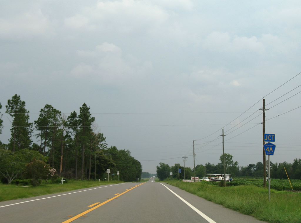
Okaloosa County Road 4A provides a 2.52 mile cut off from SR 189 to SR 4 west.
07/13/07
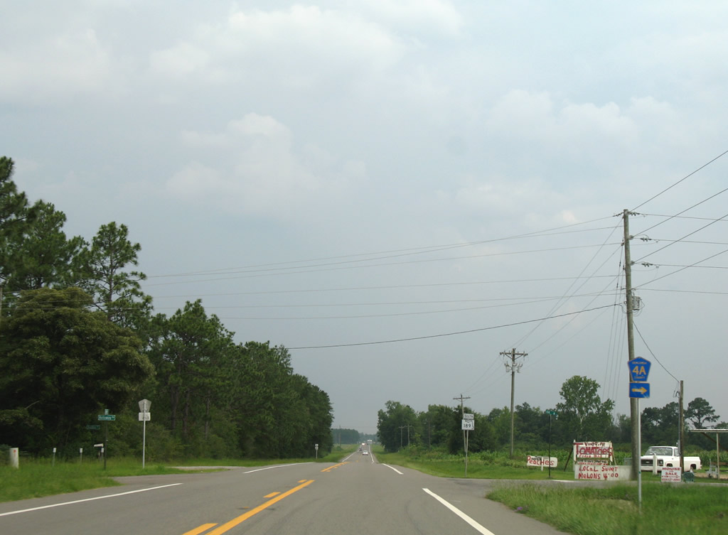
CR 4A departs SR 189 south for SR 4. SR 4 continues west through Blackwater State Forest to Munson, Jay and Century.
07/13/07
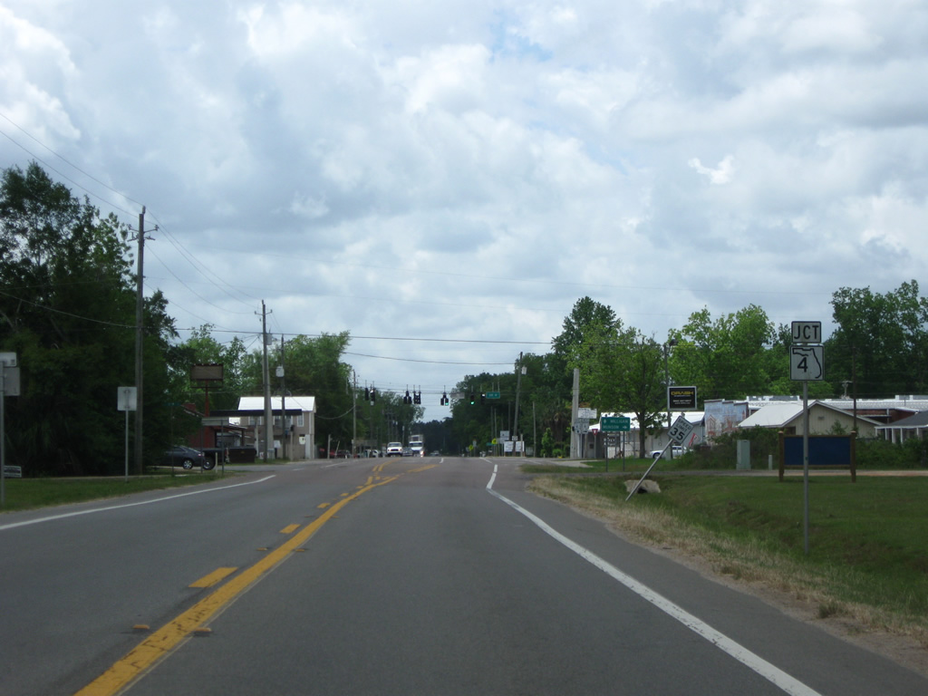
Motorists continue another 1.5 miles south into Baker via SR 189.
12/28/09
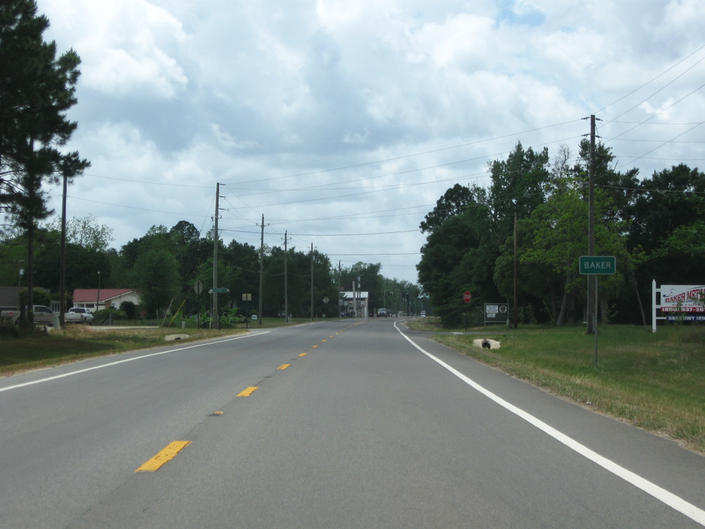
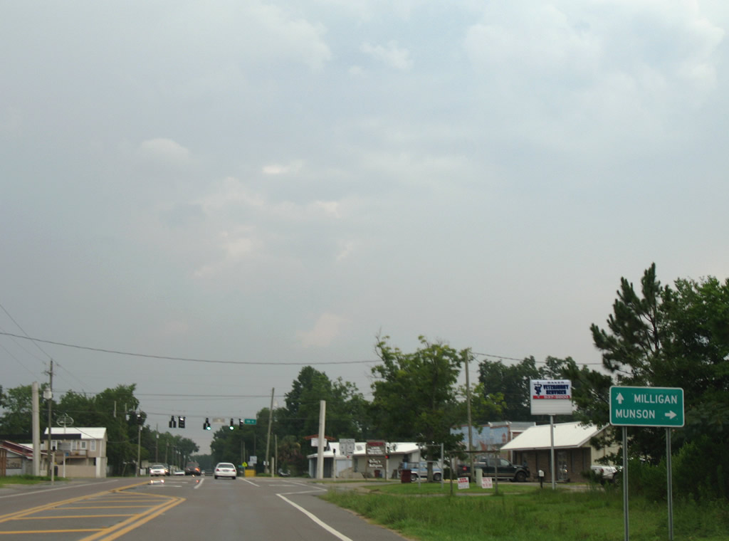
Baker is an unincorporated village at the crossroads of SR 189 and SR 4 (Georgia Avenue).
05/02/09
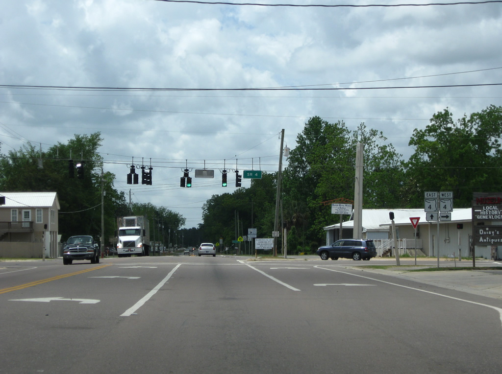
SR 4 shield posted on SR 189 south at 17th Street in Baker.
05/02/09
SR 4 travels overall 42.71 miles between Century (U.S. 29) and Milligan (U.S. 90). County Road 4 segments exist in both Escambia and Okaloosa Counties as well.
07/13/07
SR 4 overtakes SR 189's alignment leading south from Georgia Avenue in Baker. The state road travels 8.1 miles west to the Santa Rosa County line and 4.6 miles east to Milligan.
05/02/09
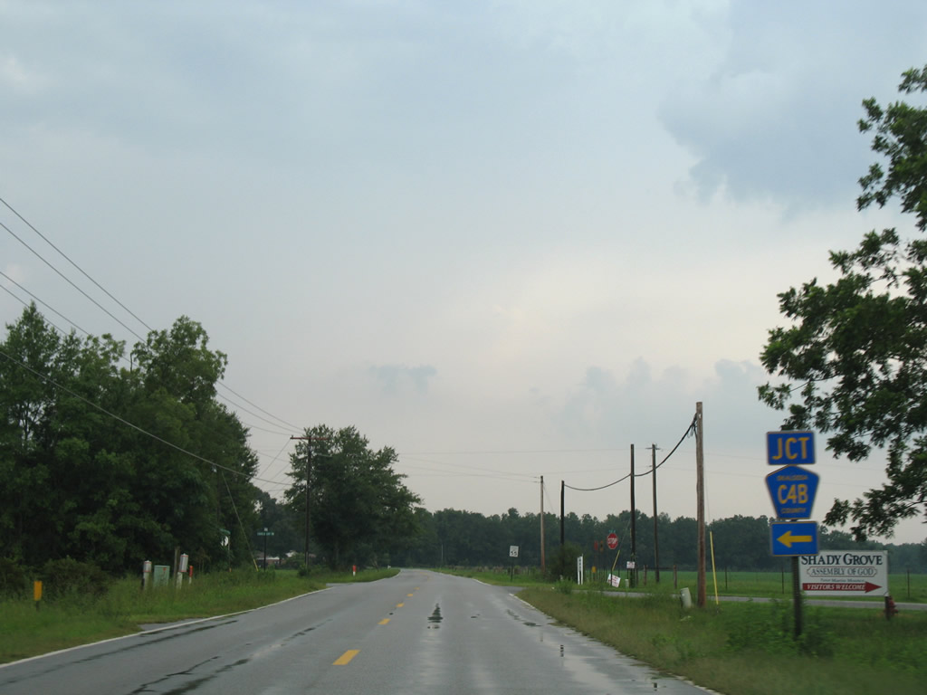
CR 4B (Charlie Day Road) leads 1.21 miles east from CR 189 (Galliver Cutoff) to SR 4.
07/13/07
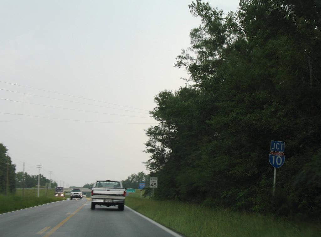
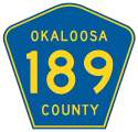
Approaching the diamond interchange (Exit 45) with Interstate 10 on Okaloosa County Road 189 (Log Lake Road) south.
07/13/07
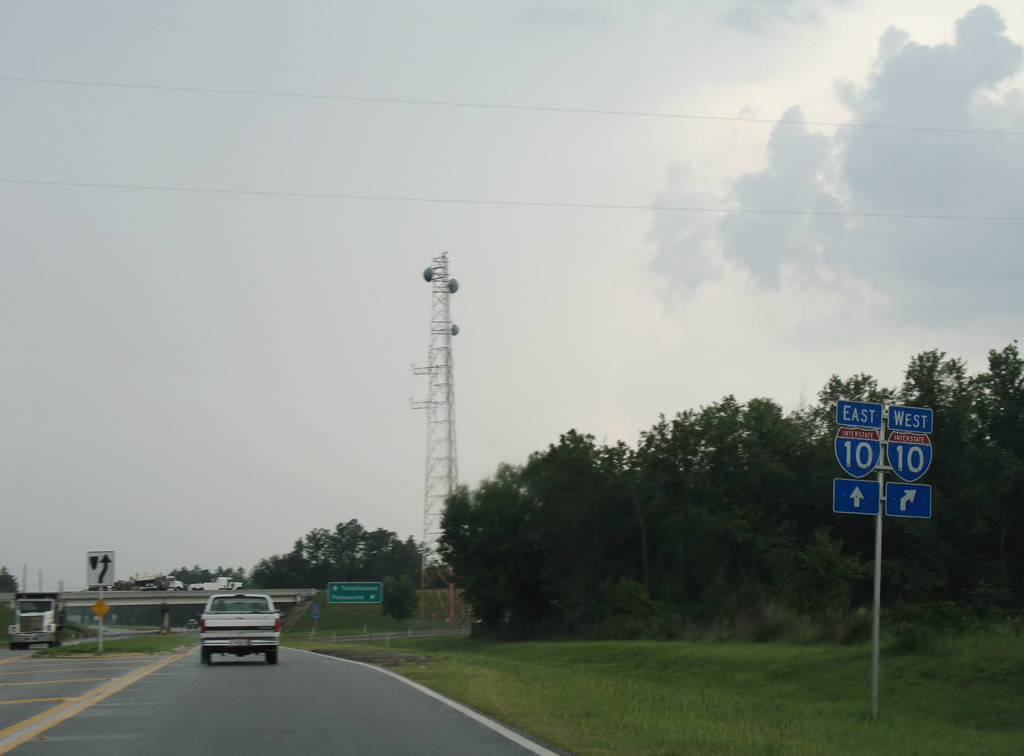
The exchange joining CR 189 with I-10 is one of two along the freeway within Okaloosa County. Log Lake Road extends south of I-10 to an isolated area north of the Yellow River.
07/13/07
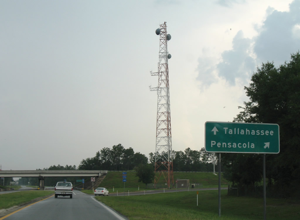
Interstate 10 leads west to Milton and Pensacola and east to Crestview and Tallahassee.
07/13/07
County Road 189 concludes as Log Lake Road leaves Interstate 10 for a rural residential area, Holt Industrial Park and a campground.
09/19/09
Log Lake Road (former CR 189) lowers into the Yellow River valley. The roadway ends within an RV park by the river as Canoe Lake Road splits to the west. Originally Florida Secondary 189 continued southeast through Choctawhatchee National Forest / Eglin Air Force Base to Wright. This portion was abandoned by the 1950s. A truss from the original Yellow River bridge remains by the site of where S-189 continued southeast.
09/19/09
Photo Credits:
- Alex Nitzman: 07/13/07, 12/28/09
- Brent Ivy: 03/09/09, 05/02/09
- ABRoads, Carter Buchanan: 09/19/09
Connect with:
Page Updated Thursday May 17, 2012.