
State Road 267

Florida State Road 267 forms an L-shaped route west and south of Tallahassee. The southern branch along Bloxham Cutoff constitutes a rural highway joining SR 20 in western Leon County with U.S. 98 at Newport. Traveling 30.79 miles, over half through Apalachicola National Forest, SR 267 joins the communities of Hilliardville, Bethel and Wakulla. West from Bloxom, SR 267 overlaps with SR 20 for 2.28 miles into eastern Liberty County. The two separate east of Hosford, with SR 267 angling northeast 15.39 miles to U.S. 90 in Quincy.
Within Quincy, SR 267 combines with U.S. 90 for 0.84 miles along Jefferson Street through Downtown. Adams Street leads SR 267 north to Bainbridge Highway, which extends SR 267, 8.49 miles to Cool Springs Road in South Georgia.
Florida State Road 267 Guides
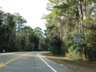
North - Bloxham Cutoff - 32 photos
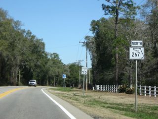
North - Gadsden County - 34 photos
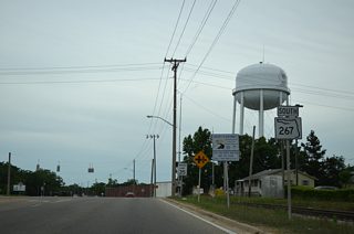
South - Gadsden County - 36 photos
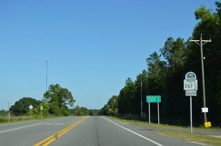
South - Bloxham Cutoff - 12 photos
 scenes
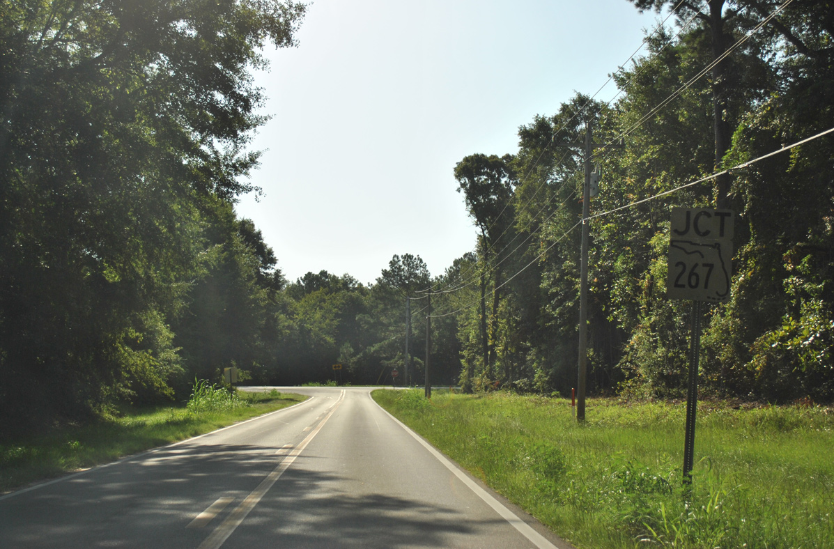
Gadsden County Road 272 (Hutchinson Ferry Road) east at State Road 267 (Bainbridge Highway).
07/29/11
Photo Credits:
- Brent Ivy: 07/29/11
Connect with:
Page Updated Monday March 22, 2021.