
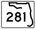
State Road 281 South

 South
South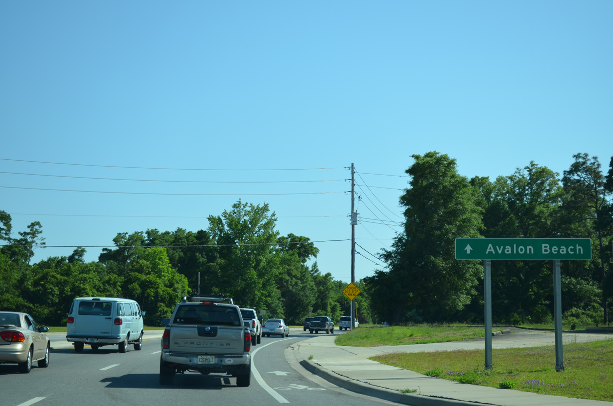
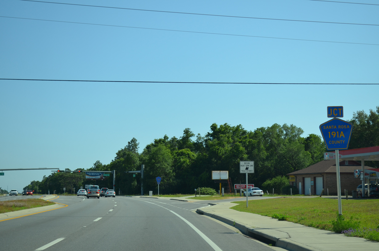
SR 281 (Avalon Boulevard) curves southwest from U.S. 90 and adjacent County Road 191A (Old Bagdad Highway) opposite the entrance to Pensacola State College's Milton Campus. CR-191A ventures east from Avalon Boulevard to CR-191 (Forsyth Street) in Bagdad.
05/18/14
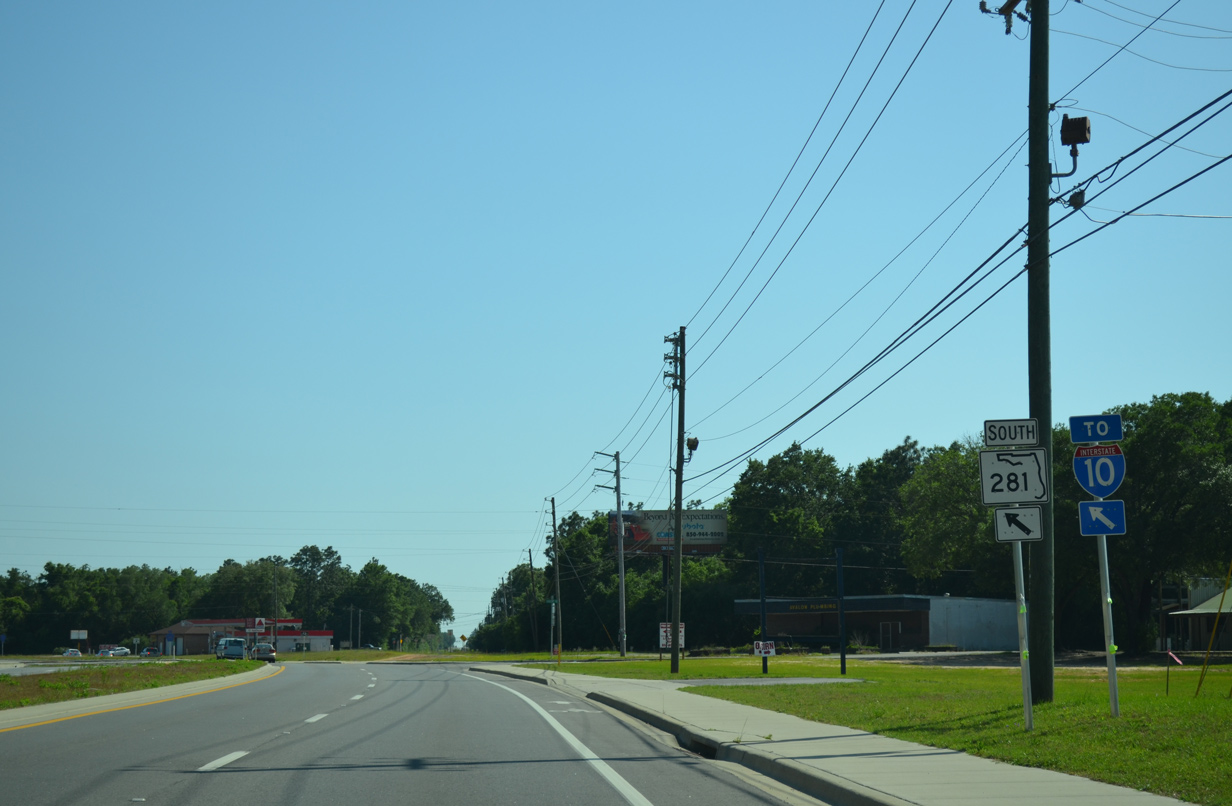
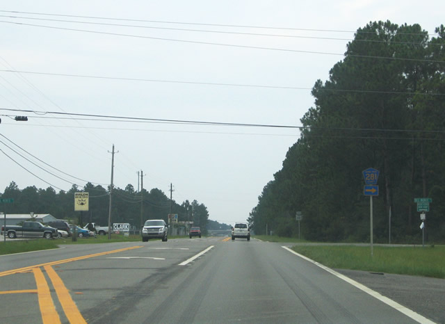
The first shield for SR 281 appears alongside an I-10 trailblazer ahead of Carroll Road.
05/18/14
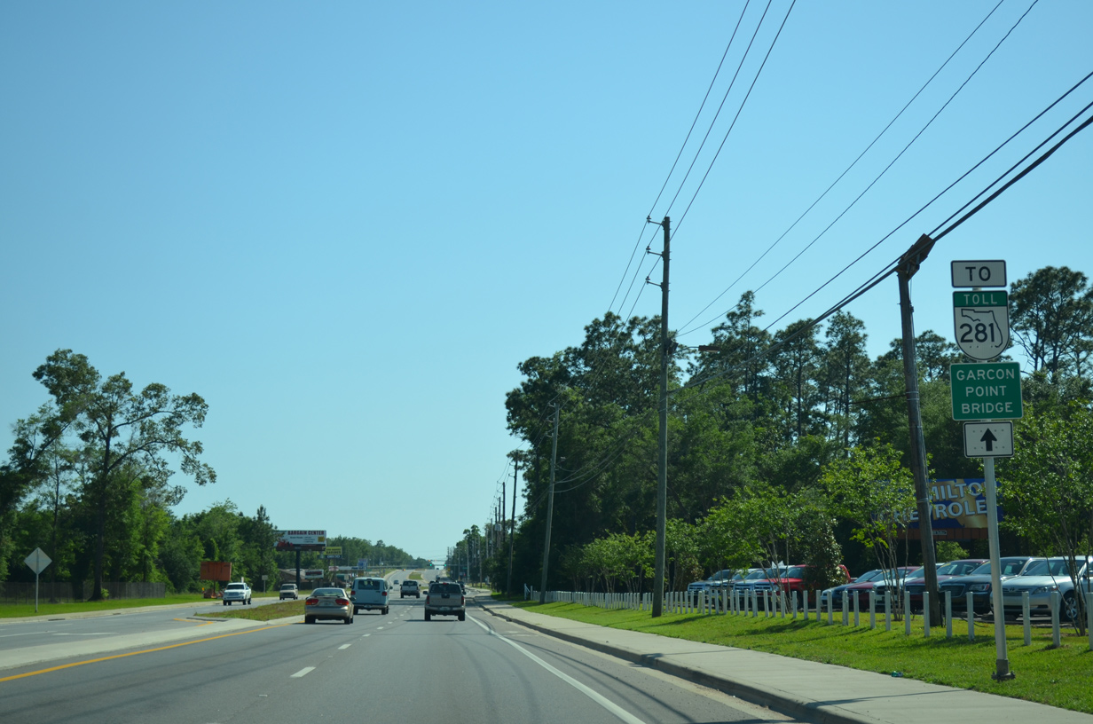
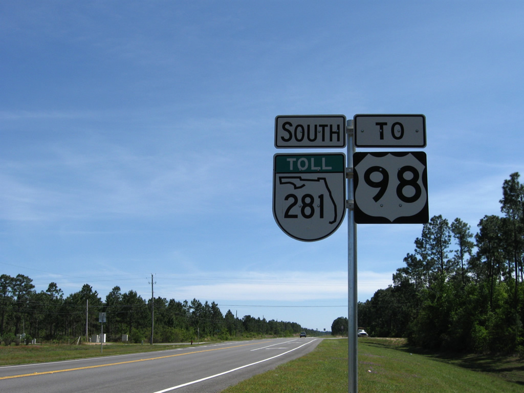
A trailblazer follows the former intersection with Old Bagdad Highway (CR-191A) directing motorists to the Garcon Point Bridge via SR 281 Toll. The toll road was designated in 1999 when the span opened.
05/18/14
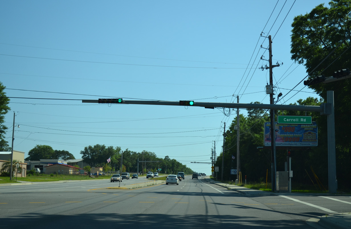
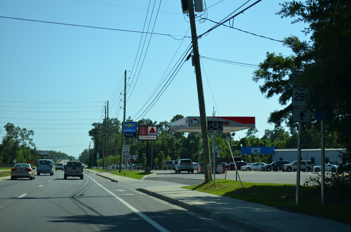
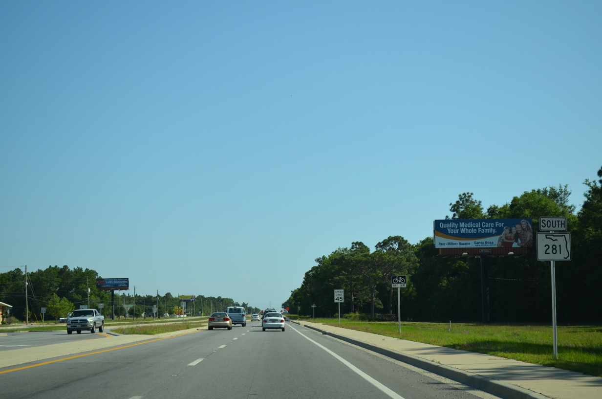
State Road 281 was expanded into a four lane urban arterial from U.S. 90 south to County Road 281B (Cyanamid Road) between August 2009 and May 2013. This scene looks at the traffic light with Carroll Road, a local road linking Avalon Boulevard with Galt City Road to the east.
05/18/14
Mulat Road (former County Road 191A) used to split with SR 281 (Avalon Boulevard) south. This intersection was eliminated during the widening of Avalon Boulevard by 2011 as Mulat Road was realigned to meet SR 281 at a conventional intersection. A portion of the original roadway was retained as a service road to Tom Sawyer Road.
05/18/14
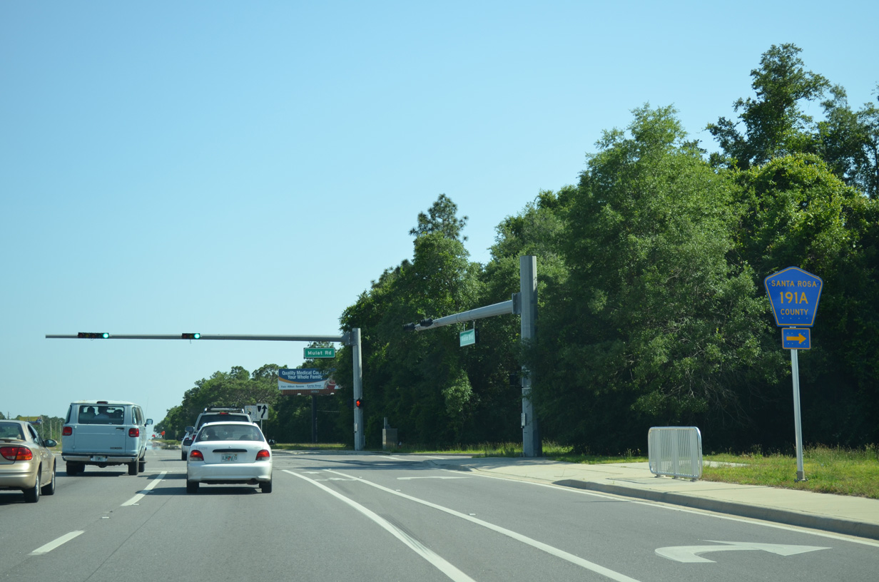
Mulat Road (former CR 191A) north and Commerce Road west come together at a traffic light with SR 281 (Avalon Boulevard) next.
05/18/14
Mulat Road sinks southwestward to Harp, Mulat and Bayside Boulevard near Mulatto Bayou.
05/18/14
A frontage road emerges along the east side of SR 281 (Avalon Boulevard) to service an adjacent grid of streets. Some of these streets were built a top a former outlying Naval air field.
05/18/14
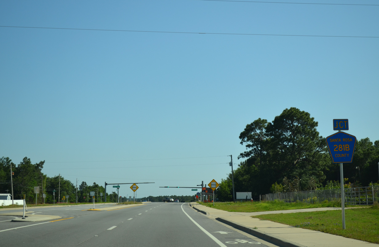
Three quarters of a mile further south along Avalon Boulevard is the intersection with CR 281B (Cyanamid Road) west. Cyanamid Road heads west for 0.6 miles to Mulat Road (former CR 191A), where the road changes to CR 191B (Sterling Way). Sterling Way leads west another 0.9 miles before meeting Bell Lane, which carries CR 197A (Bell Lane) north to U.S. 90 near Pace.
05/18/14
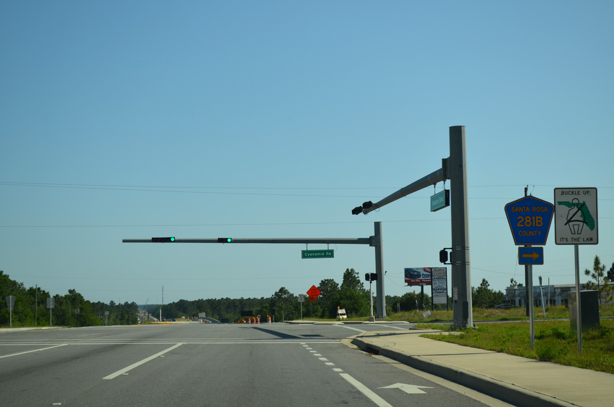
Span wire based traffic lights were added to Avalon Boulevard at Cyanamid Road (CR 281B) by 2006. They were replaced with mast-arm supported assemblies by 2011.
05/18/14

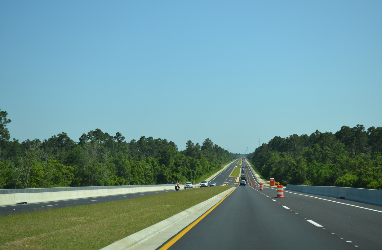
Widening of SR 281 south from U.S. 90 to the CSX Railroad bridge was completed by May 1, 2013.
05/18/14
Avalon Boulevard descends 80 feet in elevation from CR-281B to Mulatto Bayou.
05/18/14
SR 281 (Avalon Boulevard) continues south from Mulatto Bayou to Santa Rosa County Road 281 (Del Monte Street). Now an unsigned route, CR-281 loops northwest from SR 281 along Del Monte Street west to 14th Avenue and Motecito Boulevard north to Harp and Mulat Road (former CR 191A).
07/17/04
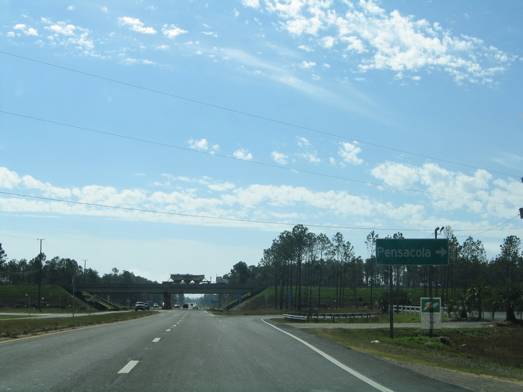
Entering the diamond interchange (Exit 22) with Interstate 10 on SR 281 (Avalon Boulevard) south.
01/30/06
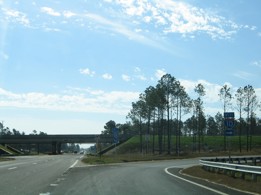
The westbound on-ramp to Pensacola doubles as a commuter route for those living in Milton and working in Escambia County. Interstate 10 next crosses Escambia Bay on the five mile drive to Scenic Highway.
01/30/06
The eastbound side ramps of Interstate 10 with SR 281 are signalized due to the evening commute pattern to Milton from Pensacola. I-10 otherwise stays south of Bagdad and Milton over the next nine miles before entering a long stretch through the outskirts of Eglin Air Force Base.
01/18/06
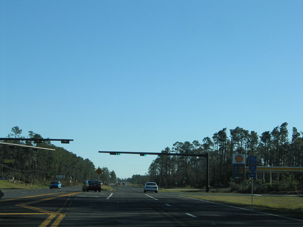
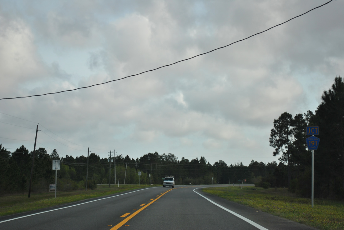
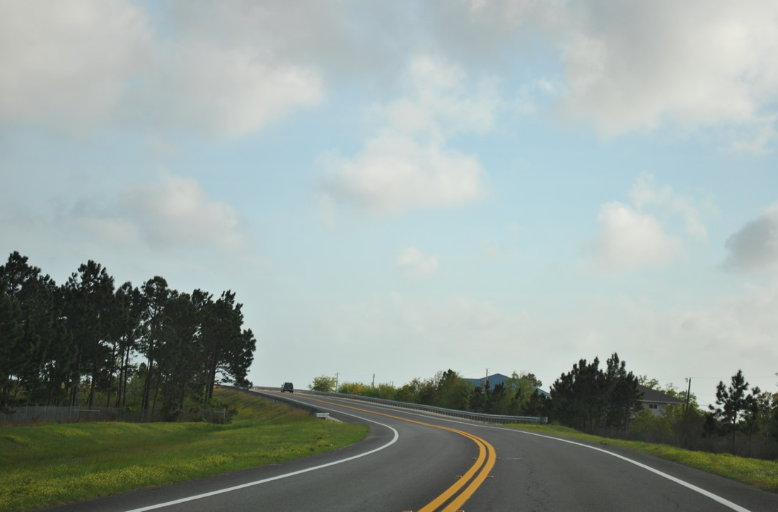
SR 281 reduces to two lanes south of San Gabriel Street and before the crossing over Indian Bayou. Speed limits are set at just 40 miles per hour (mph) at the bayou bridge but 55 mph south of there.
03/20/12
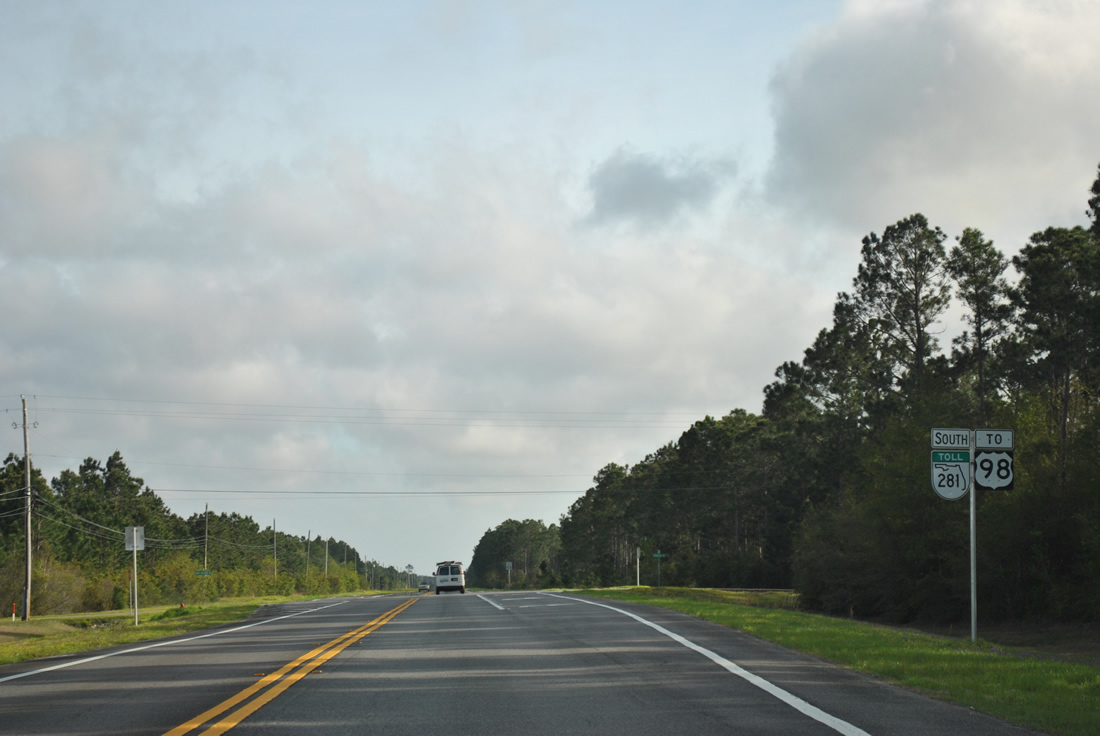
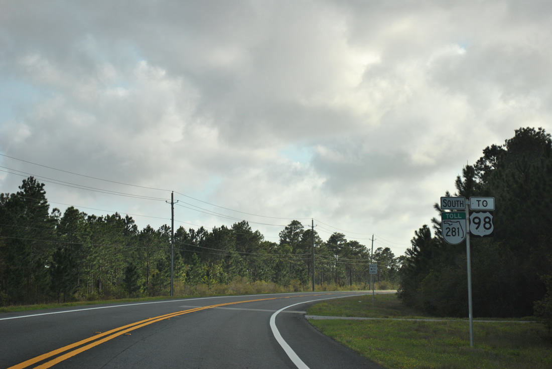
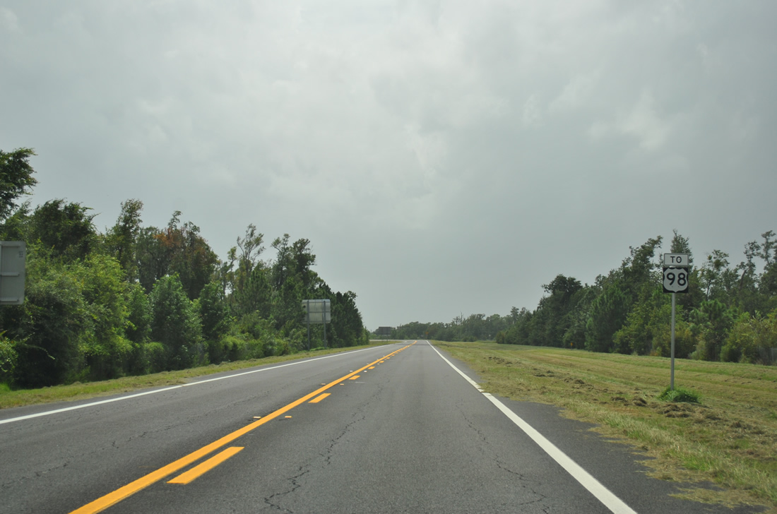
The succeeding reassurance marker for SR 281 appears at the intersection with Pearson Road west and Mary Kitchens Road east. A U.S. 98 trailblazer accompanies the shield to show the connectivity of the Garcon Point Bridge.
03/20/12
04/15/09
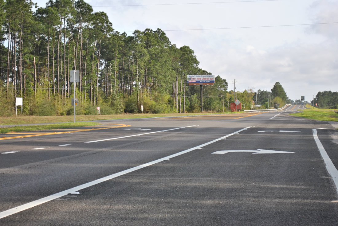
SR 281 (Avalon Boulevard) overtakes Garcon Point Road from Santa Rosa County Road 191 at Mary Garzon Way. CR-191 branches northeast from SR 281 to Yellow River Marsh Preserve State Park, Bagdad and Milton.
03/20/12
SR 281 replaced County Road 191 along Garcon Point Road southwest toward Hernandez Point.
03/20/12
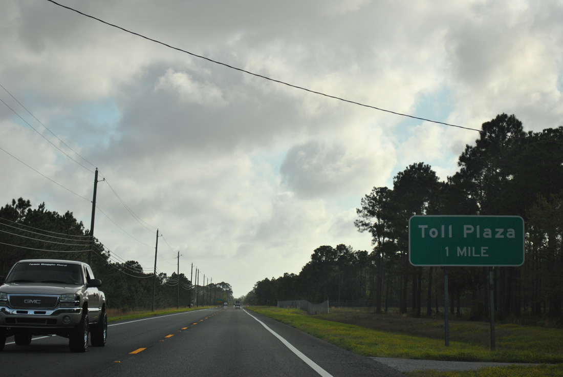
The one mile advance sign for the Garcon Point Bridge toll plaza precedes the split with South Garcon Point Road (former CR 191) to Hernandez Point.
03/20/12
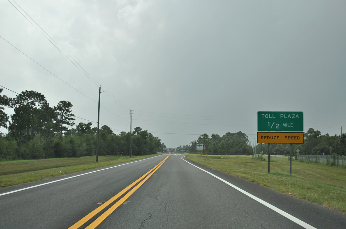
One half mile out from the toll plaza on SR 281 south. A short access road connects SR 281 with parallel South Garcon Point Road (old CR 191) to the west and the Garcon Point Trail parking lot to the east.
08/28/12
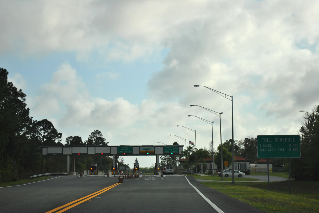
Entering the Garcon Point Bridge toll plaza on SR 281 south. Toll rates are set at $3.75 per passenger vehicle as of 2013.
Some discussion was made to increase the toll to $4.00 in 2010, but that increase was tabled.
03/20/12
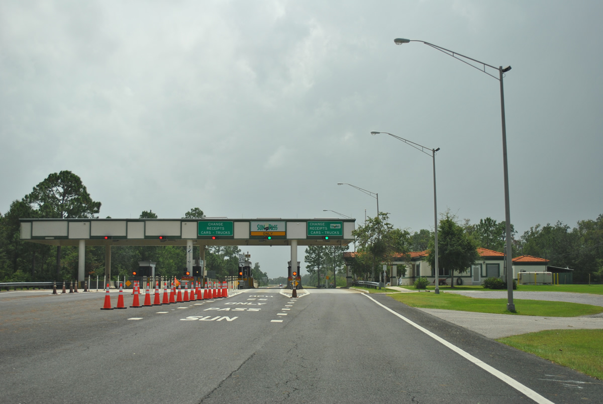
The Garcon Point Bridge toll plaza is five lanes wide with provisions for a sixth lane in the northbound direction. Two Sunpass-only lanes are utilized per direction, though Sunpass may be used in any lane.
08/28/12
A U.S. 98 trailblazer follows the toll plaza along SR 281 southbound.
08/28/12
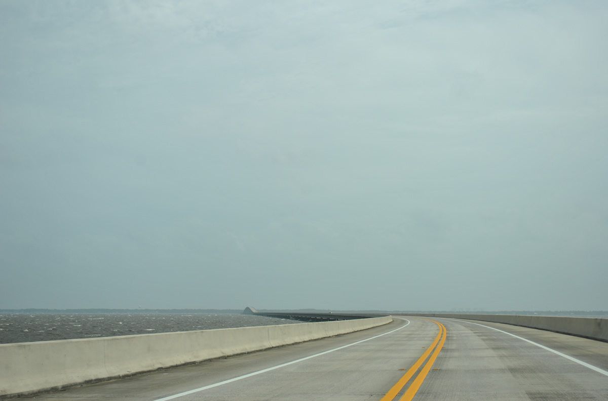
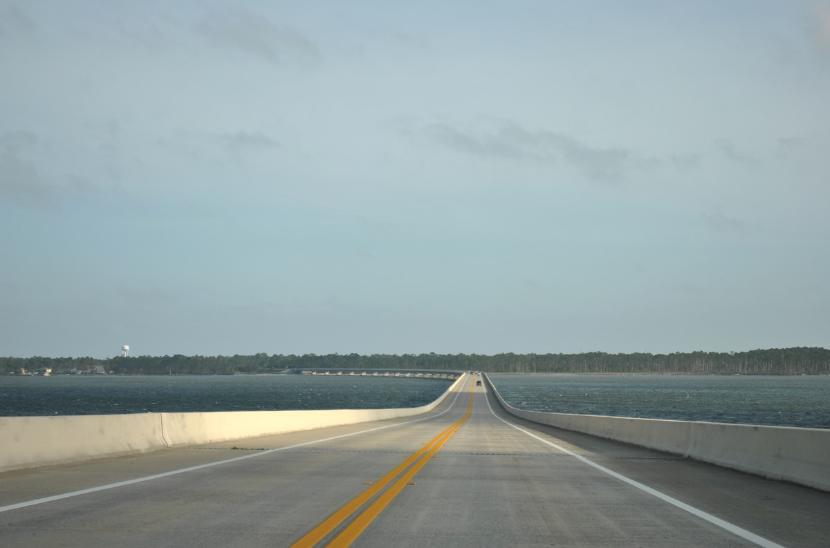
Curving to face due south, SR 281 elevates above the adjacent wetlands to meet the Garcon Point Bridge.
03/20/12
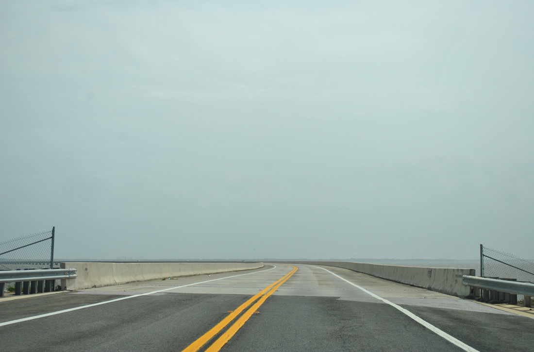
The Garcon Point Bridge begins the trek across Pensacola Bay from just east of Hernandez Point. Garcon Point itself lies about two thirds of a mile to the south.
03/20/12
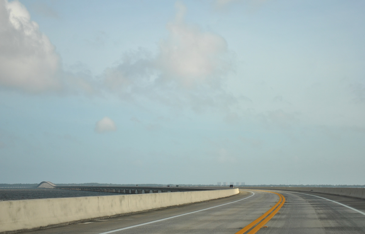
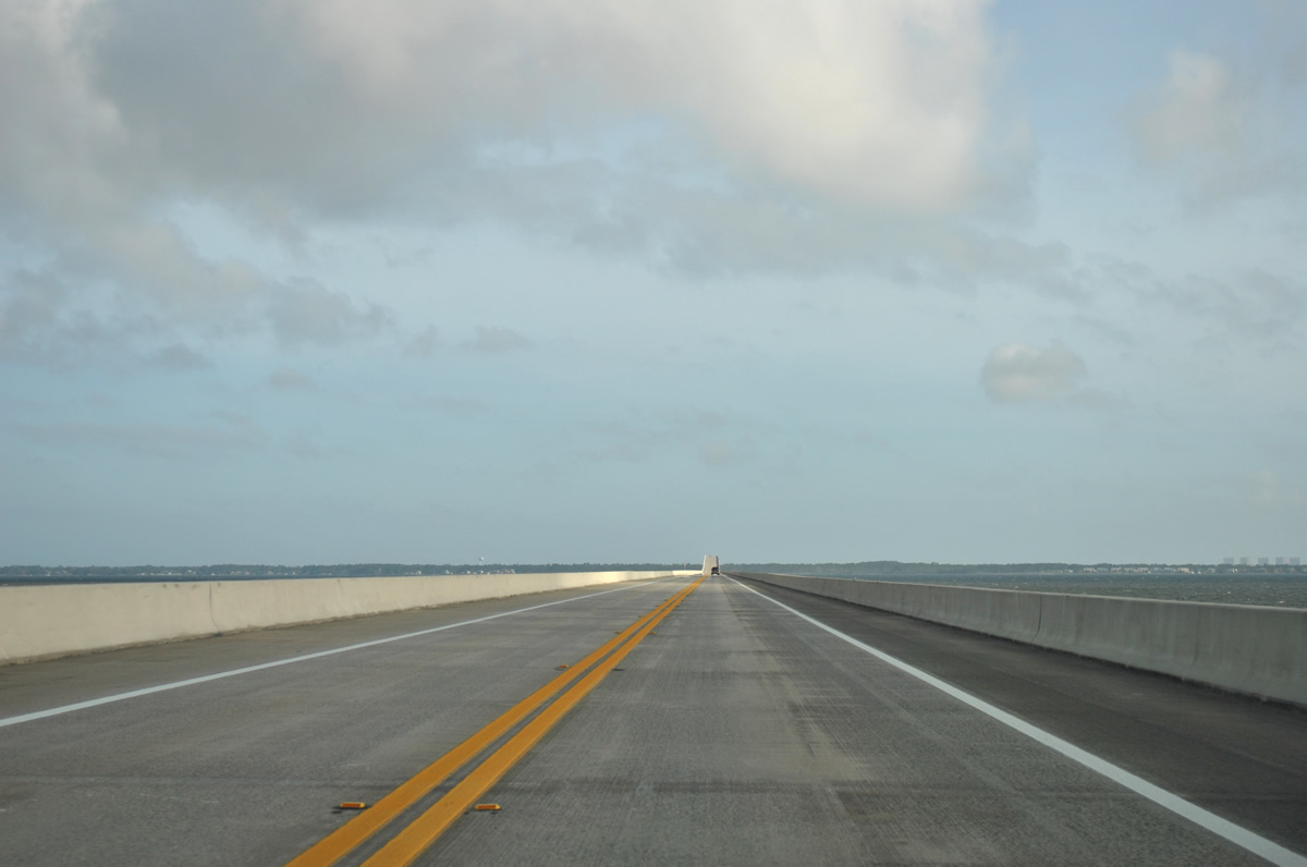
Spanning Pensacola Bay for 3.5 miles, the Garcon Point Bridge is 40 feet wide with two overall lanes and partial shoulders.
03/20/12

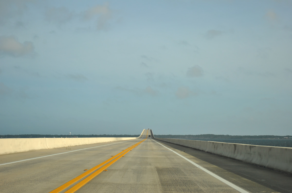
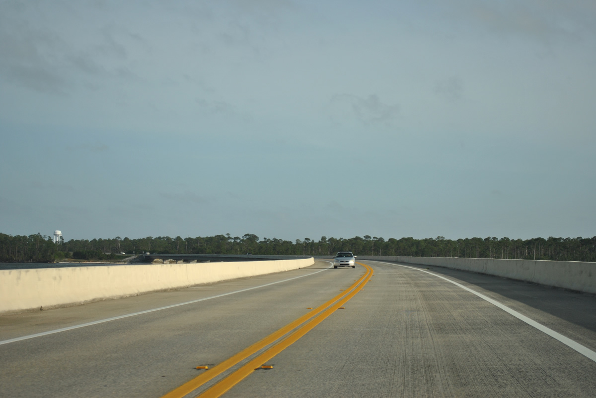
Cresting at a height of 65.6 feet, the Garcon Point Bridge lowers from the navigation channel between Pensacola and East Bays to land east of Redfish Point.
03/20/12
SR 281 bends southeast on the final approach to the peninsula between East Bay and Santa Rosa Sound.
03/20/12
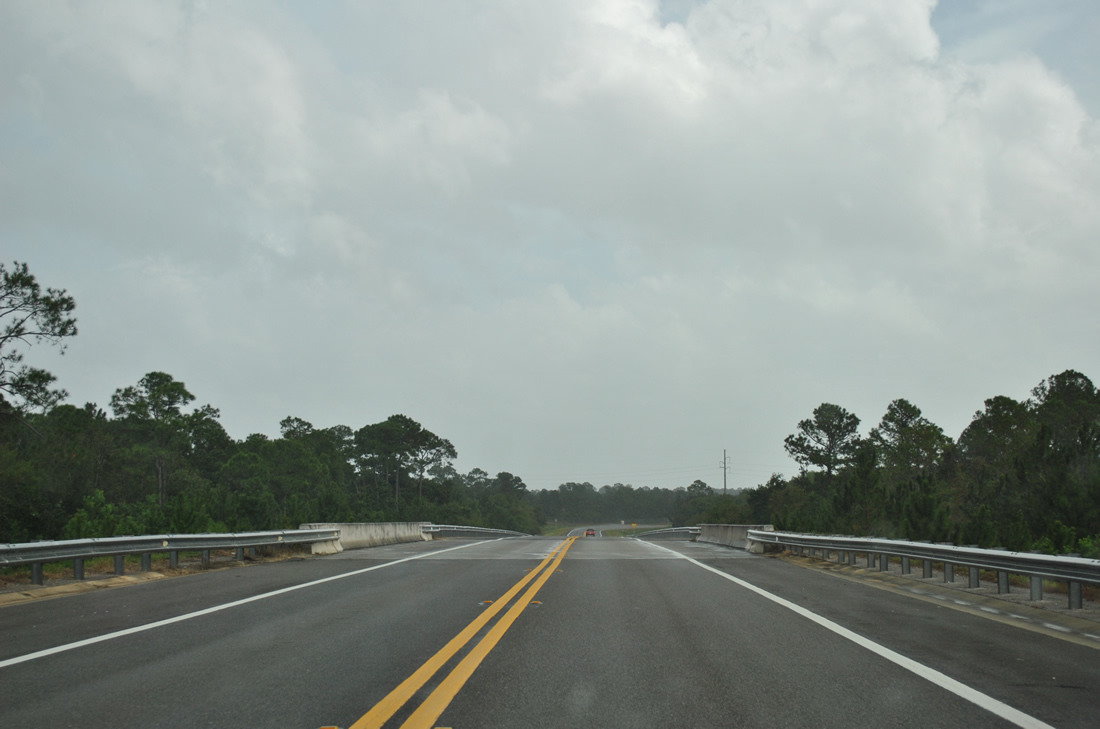
Access control is maintained along SR 281 from the Garcon Point Bridge to U.S. 98. An underpass in this scene accommodates Redfish Point Road to a handful of waterfront homes along Redfish Cove.
08/28/12
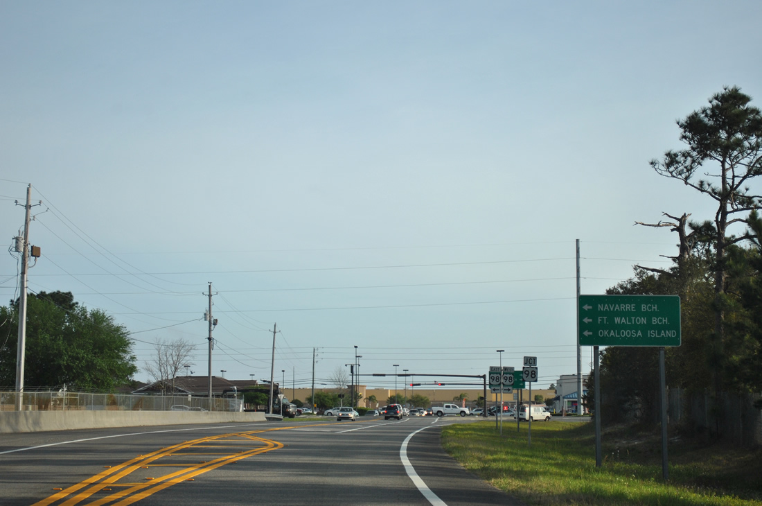
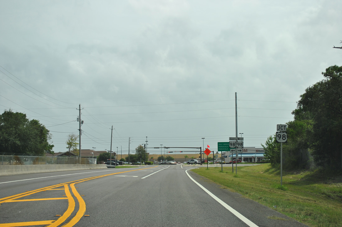
Approaching the signalized intersection with U.S. 98 on SR 281 south. U.S. 98 leads east from Oriole Beach to Midway, Navarre and Navarre Beach, Fort Walton Beach and Okaloosa Island.
03/20/12
U.S. 98 (Gulf Breeze Parkway) represents the only route between Pensacola and Fort Walton Beach. Thus the route is heavily traveled and can and often does back up due to traffic accidents.
08/28/12
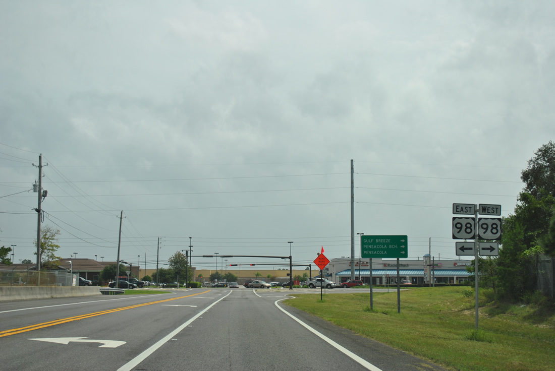
The end of SR 281 ties into a shopping center entrance on the south side of U.S. 98. U.S. 98 continues west from here to the Gulf Islands National Seashore Naval Live Oak Unit and SR 399 to Pensacola Beach and Gulf Breeze.
08/28/12
Photo Credits:
- ABRoads: 05/18/14
- Alex Nitzman: 07/17/04, 01/18/06, 01/30/06, 04/15/09, 03/20/12
- Brent Ivy: 03/20/12, 08/28/12
Connect with:
Page Updated Tuesday November 18, 2014.