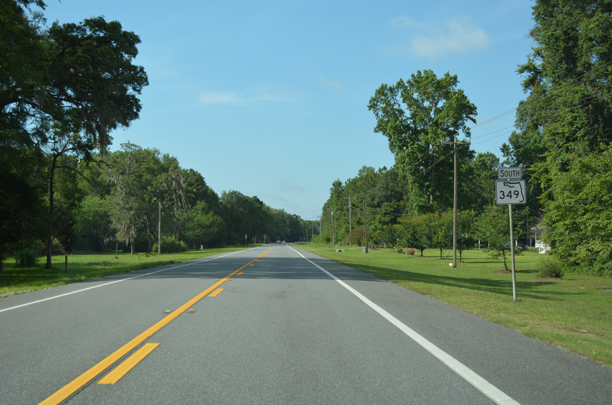
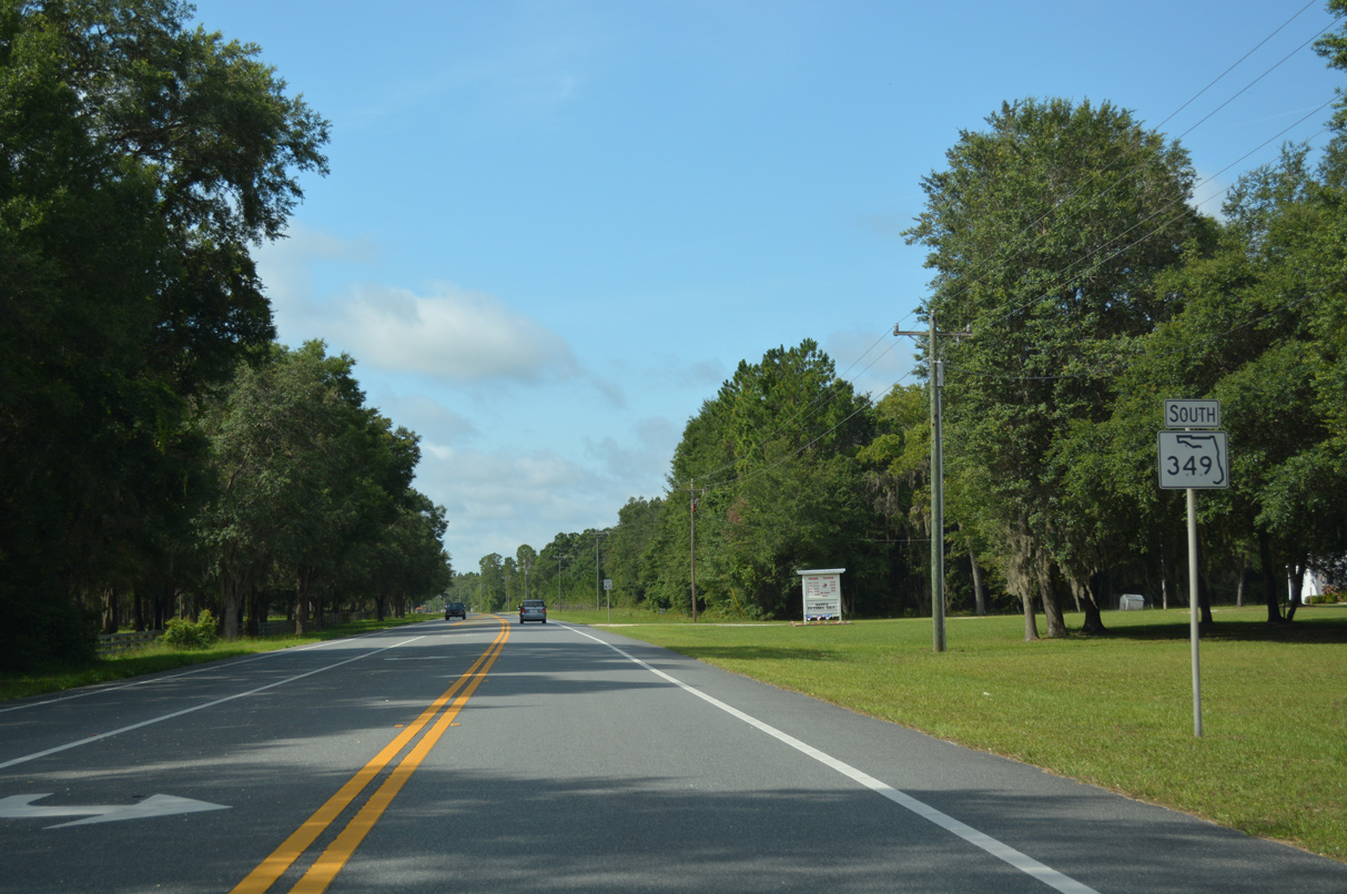
Florida State Road 349 is a linear route paralleling the Suwannee River 24.25 miles north from U.S. 19-98-27 Alternate at Old Town to U.S. 27 west of Branford. The rural highway traverses Old Town Hammock and areas of timber and ranch land northward to Fletcher in Dixie County. SR 349 through Lafayette County is similar, passing between Lafayette Forest Wildlife and Environmental Area and Grady Conservation Area.
County Road 349 extends south from SR 349 at Old Town 23.49 miles to the coastal community of Suwannee and Barbree Island off the Gulf of Mexico.
Historically SR 349 was part of the alignment for U.S. 129 established in 1947. U.S. 129 shifted east through Trenton, Bell and Branford in 1959 while SR 349 became a part of U.S. 129 Alternate. U.S. 129 ALT was decommissioned in 1970.

North
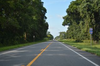
Confirming marker posted north of CR 340 east and NE 910th Avenue.
11/18/15
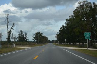
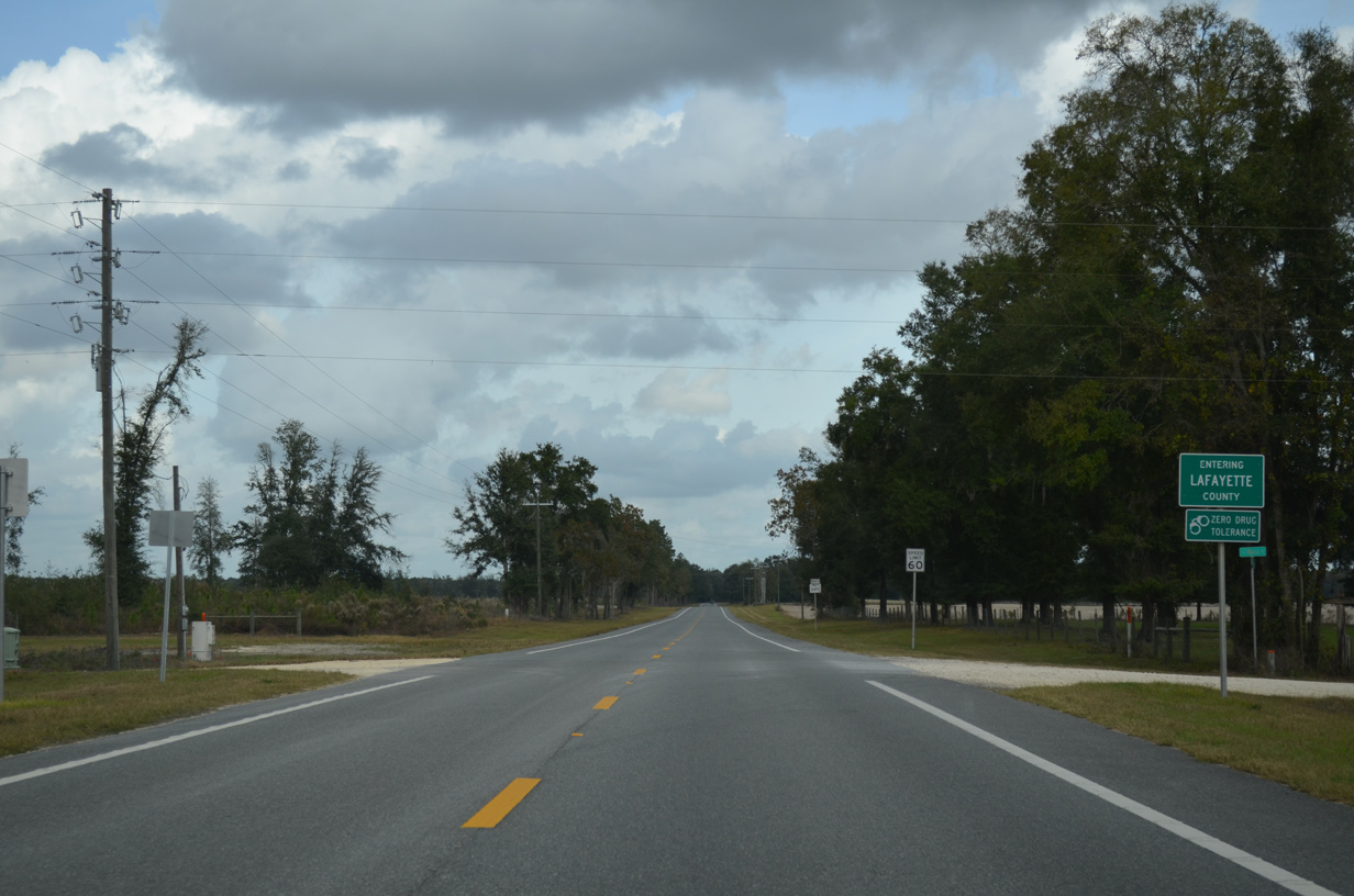
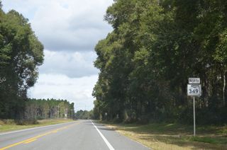
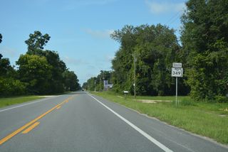
SR 349 crosses into Lafayette County 15.53 miles north of U.S. 19/98/27 ALT in Old Town.
11/18/15
11/18/15

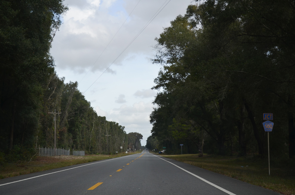
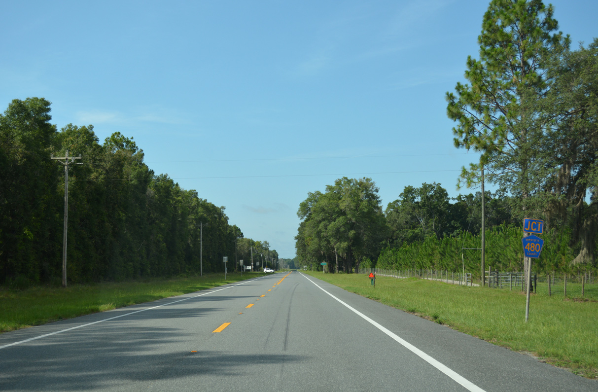
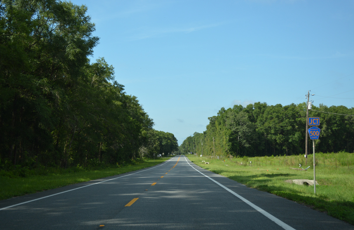
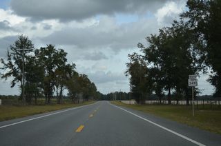
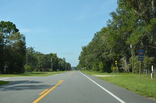
CR 500 is a rural loop east and north 5.66 miles from SR 349 to CR 480.
11/18/15
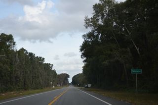
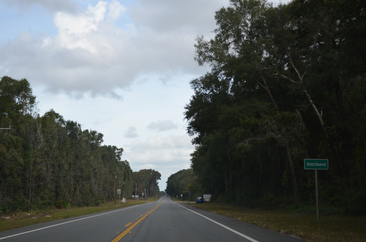
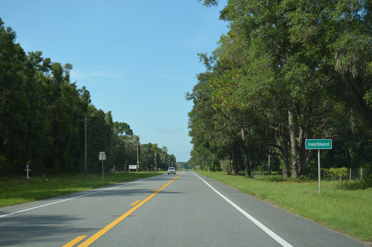
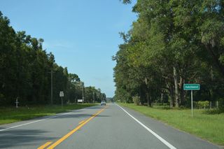
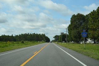
SR 349 meets CR 500 at the settlement of Hatchbend.
11/18/15
11/18/15
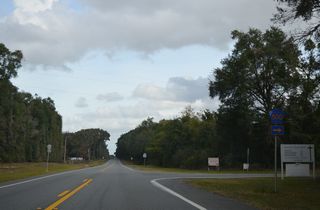
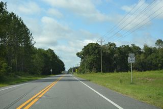
Continuing north from the west end of County Road 480 on SR 349.
11/18/15
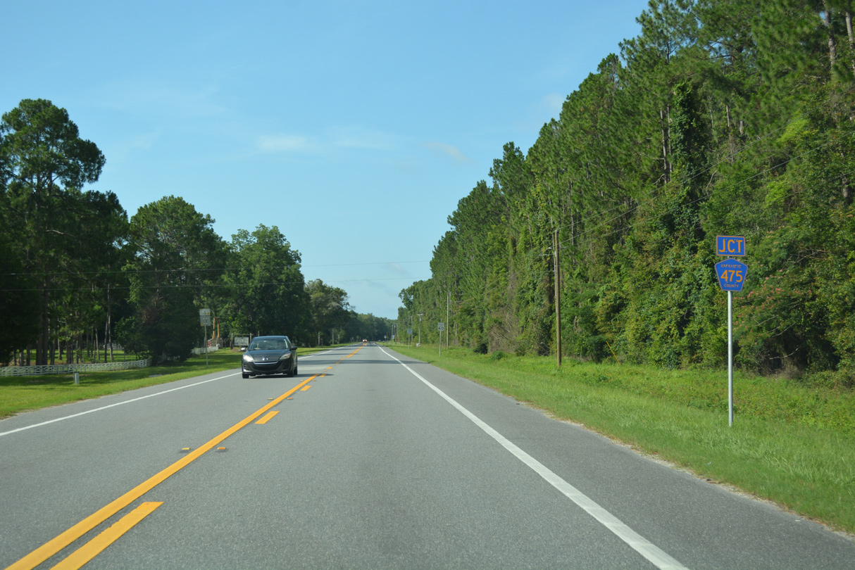
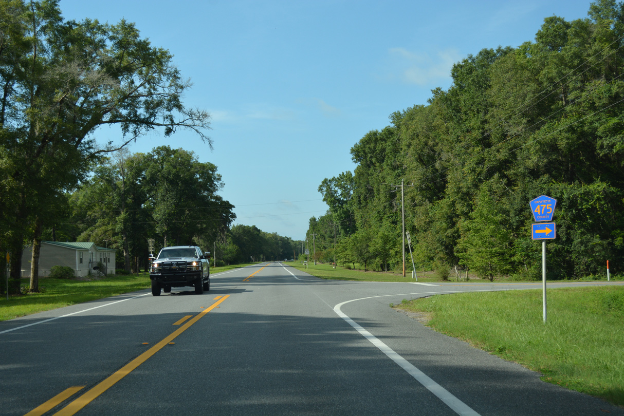
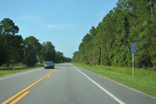
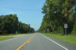
CR 475 constitutes a 2.71 mile loop through agricultural areas west of SR 349 and south of U.S. 27.
11/18/15
11/18/15
11/18/15

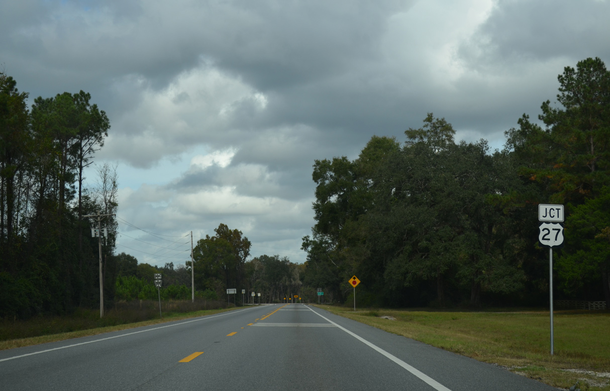
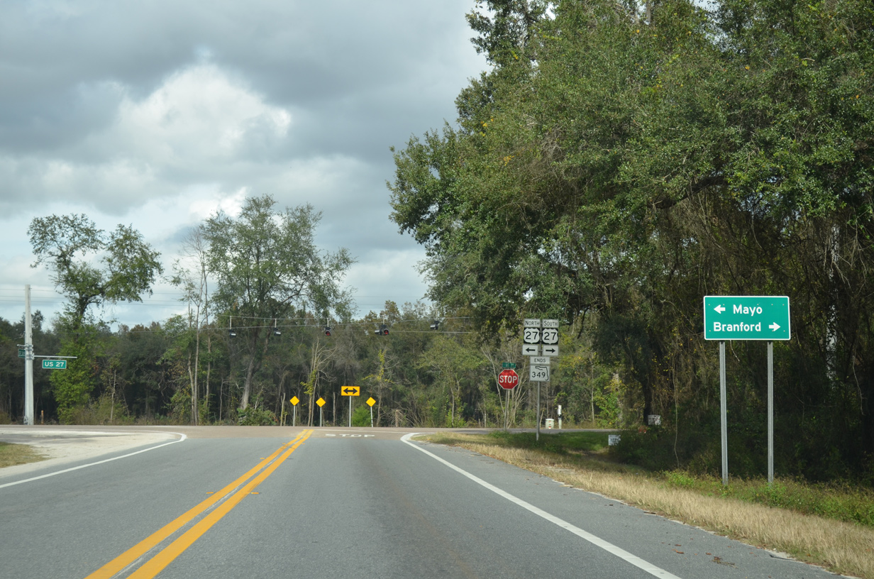
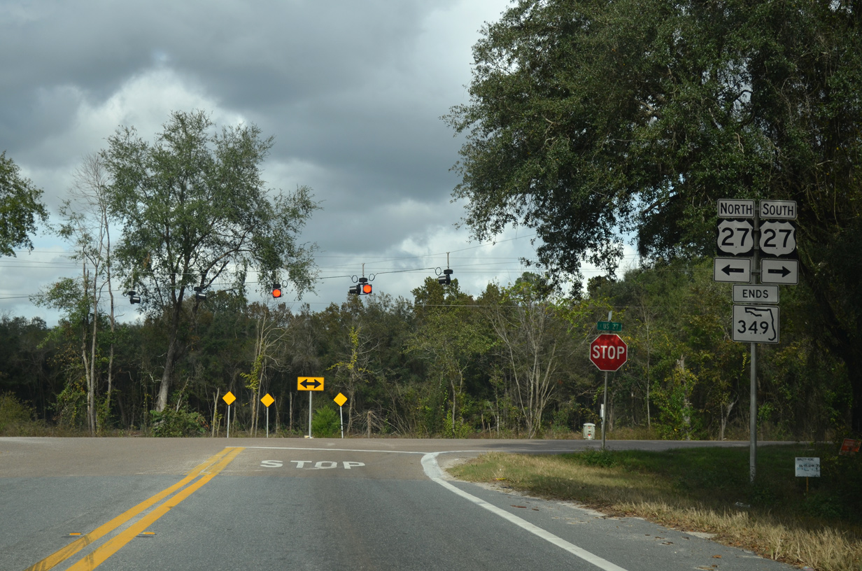
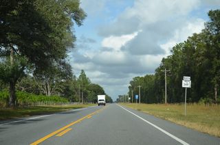
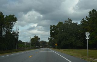
U.S. 27 travels 1.3 miles east from SR 349 to U.S. 129 at the Branford business district.
11/18/15

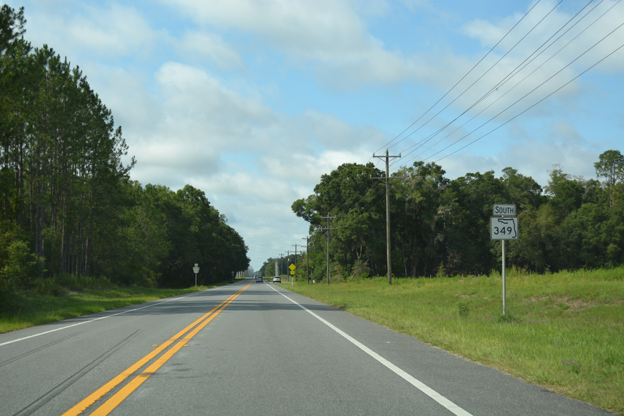
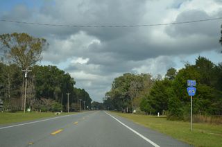
U.S. 27 continues 16 miles northwest from the north end of SR 349 to the Lafayette County seat of Mayo.
11/18/15
South

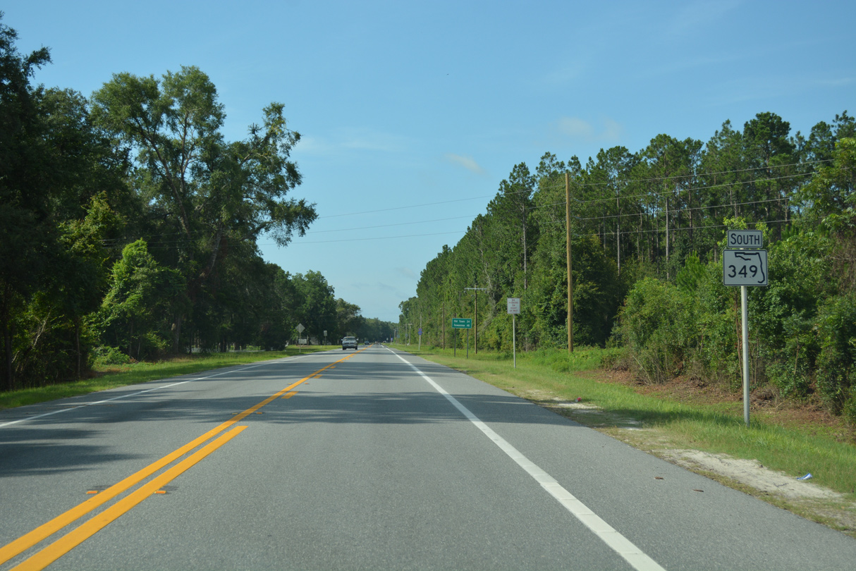
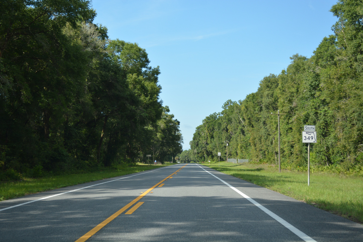
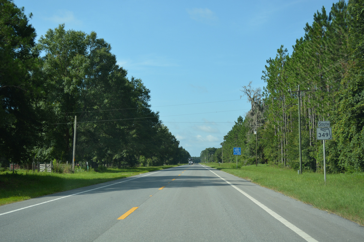
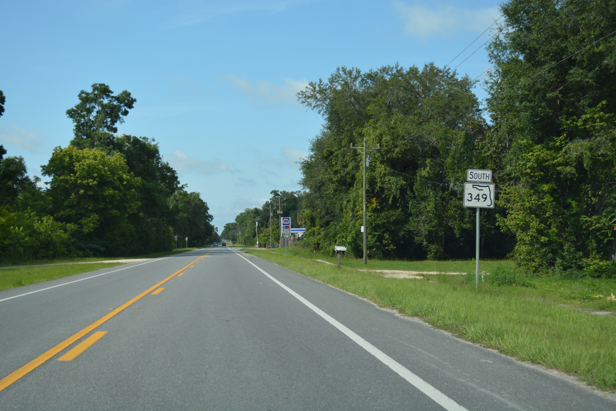
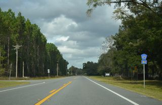
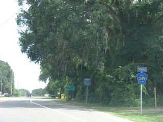
The first shield for SR 349 stands just south of U.S. 27.
06/30/17
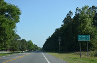
Suwannee lies 48 miles from U.S. 27 at the south end of County Road 349.
05/22/14
06/30/17

CR 475 loops southeast from U.S. 27 along a 2.71 mile course to SR 349.
06/30/17
06/30/17
05/22/14

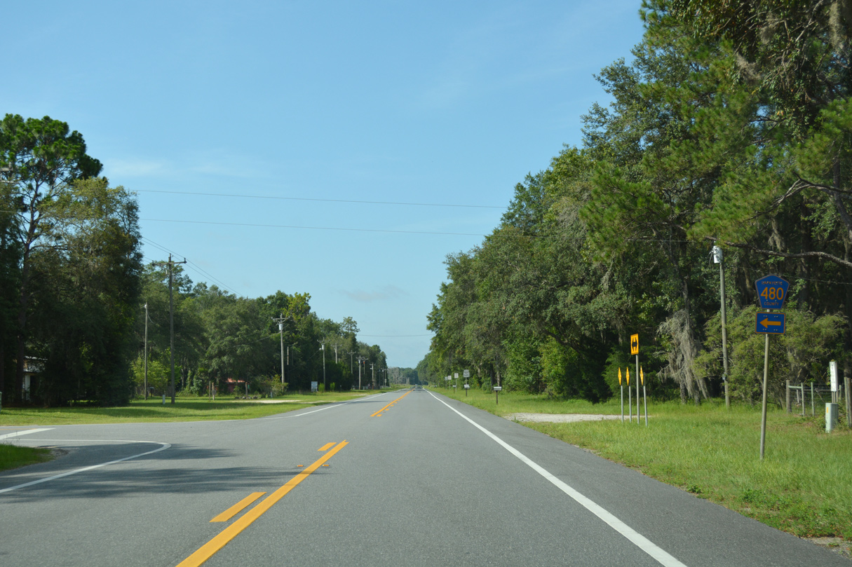
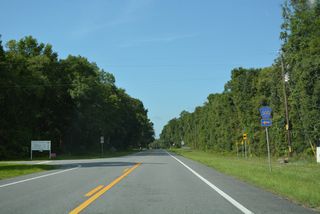
County Road 480 forms part of a 7.82 mile loop east from SR 349 along with CR 500 south and west.
06/30/17
Hatchbend represents the general area along SR 349 south from CR 480 east to CR 500.
06/30/17
County Road 480 spurs 4.67 miles east to a boat ramp along the Suwannee River.
06/30/17
06/30/17

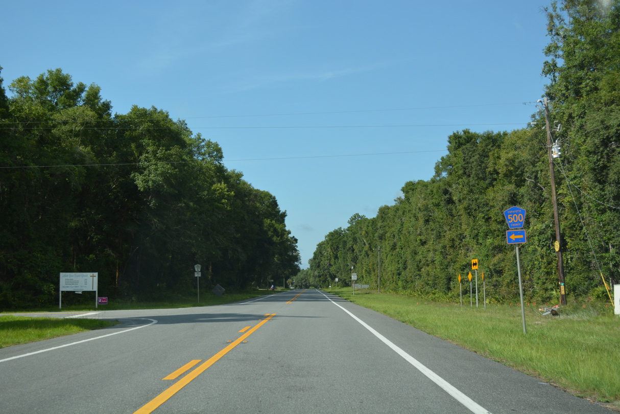
CR 500 leads west from Hatch Bend Baptist Church to SR 349.
06/30/17
06/30/17

06/30/17

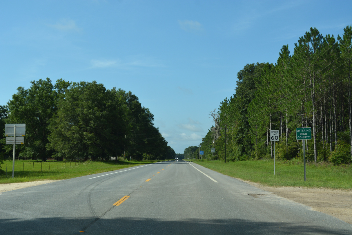
SR 349 crosses the Dixie County line 8.72 miles south of U.S. 27.
06/30/17

Reassurance marker posted south of the Taylor County line and SE Manatee Road.
06/30/17
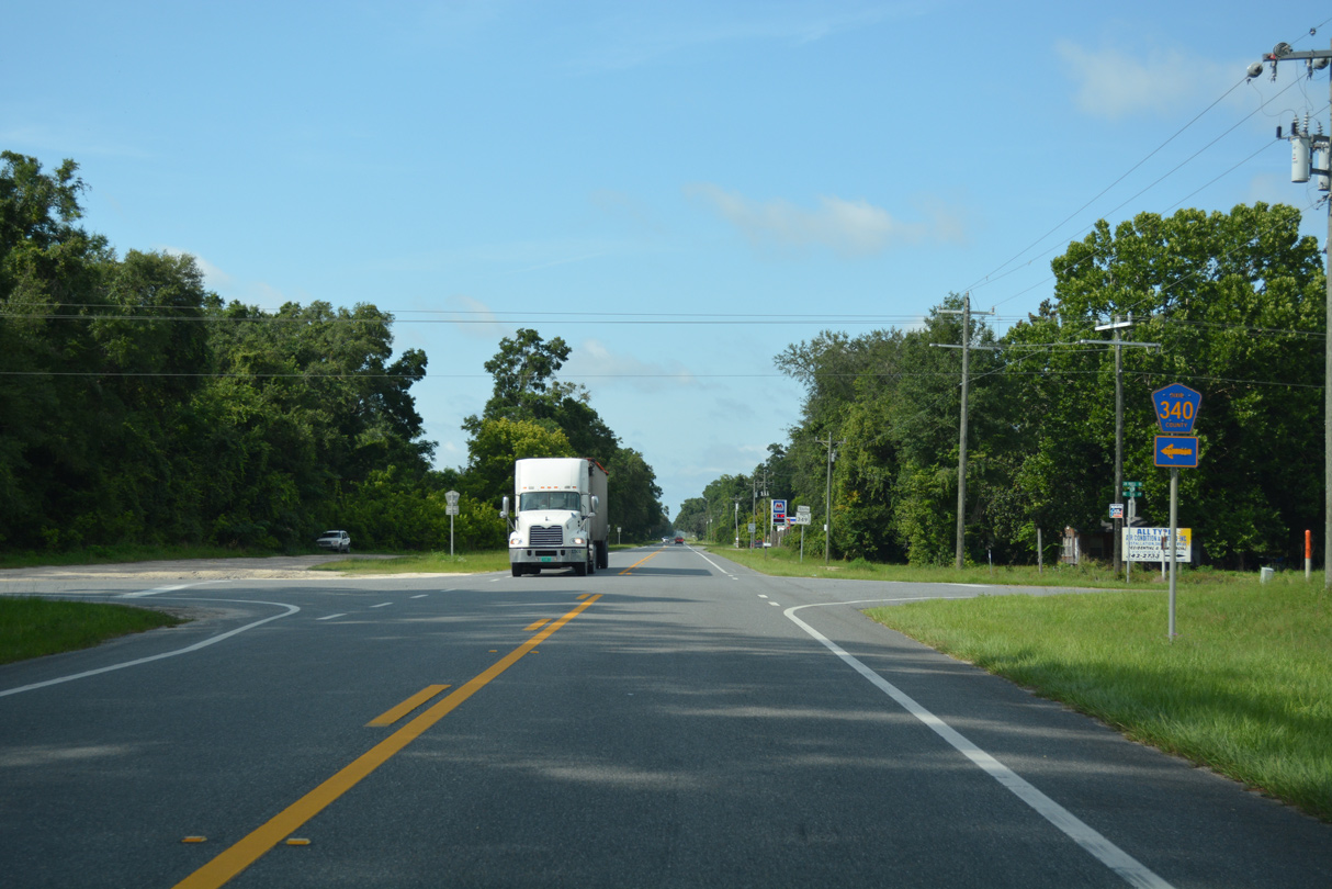
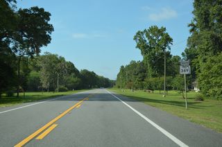
CR 340 stems east from SR 349 to cross the Suwannee River into Gilchrist County.
06/30/17

County Road 340 stretches 23.20 miles across three counties from SR 349 to U.S. 27/41 at High Springs.
06/30/17
06/30/17

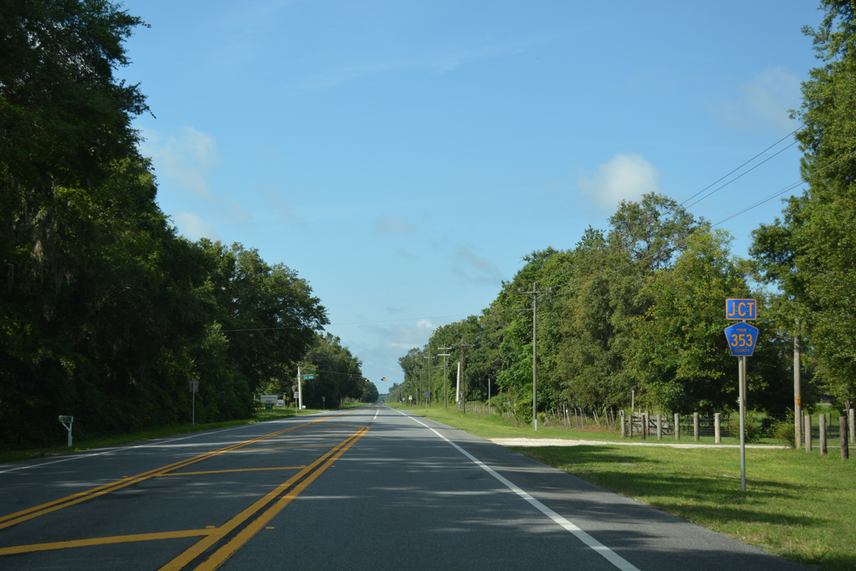
Approaching CR 353 west and NE 816th Avenue near the settlement of Fletcher on SR 349 southbound.
06/30/17

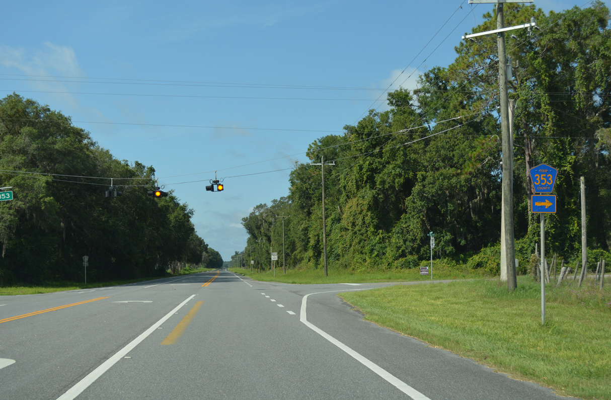
CR 353 loops west and south from SR 349 to CR 351 through a mix of timber and ranch land.
06/30/17

Confirming marker posted south of CR 351.
06/30/17
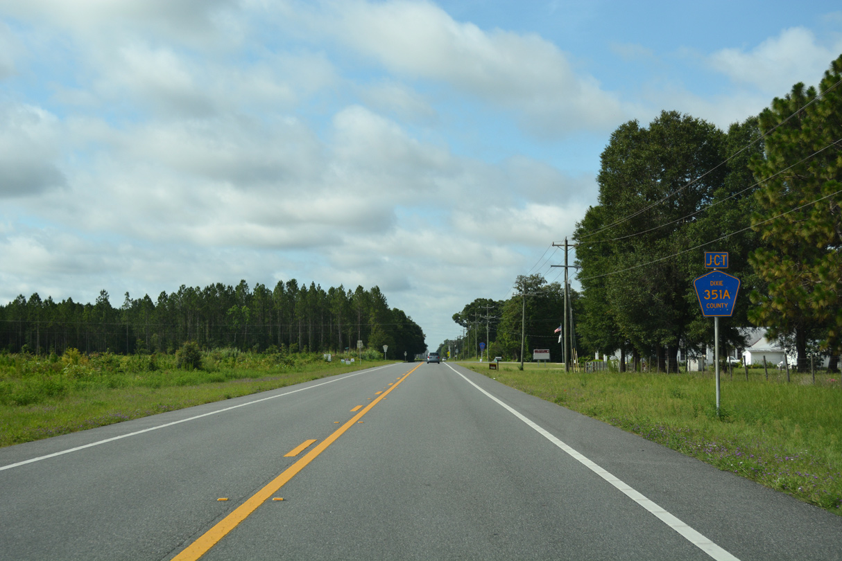
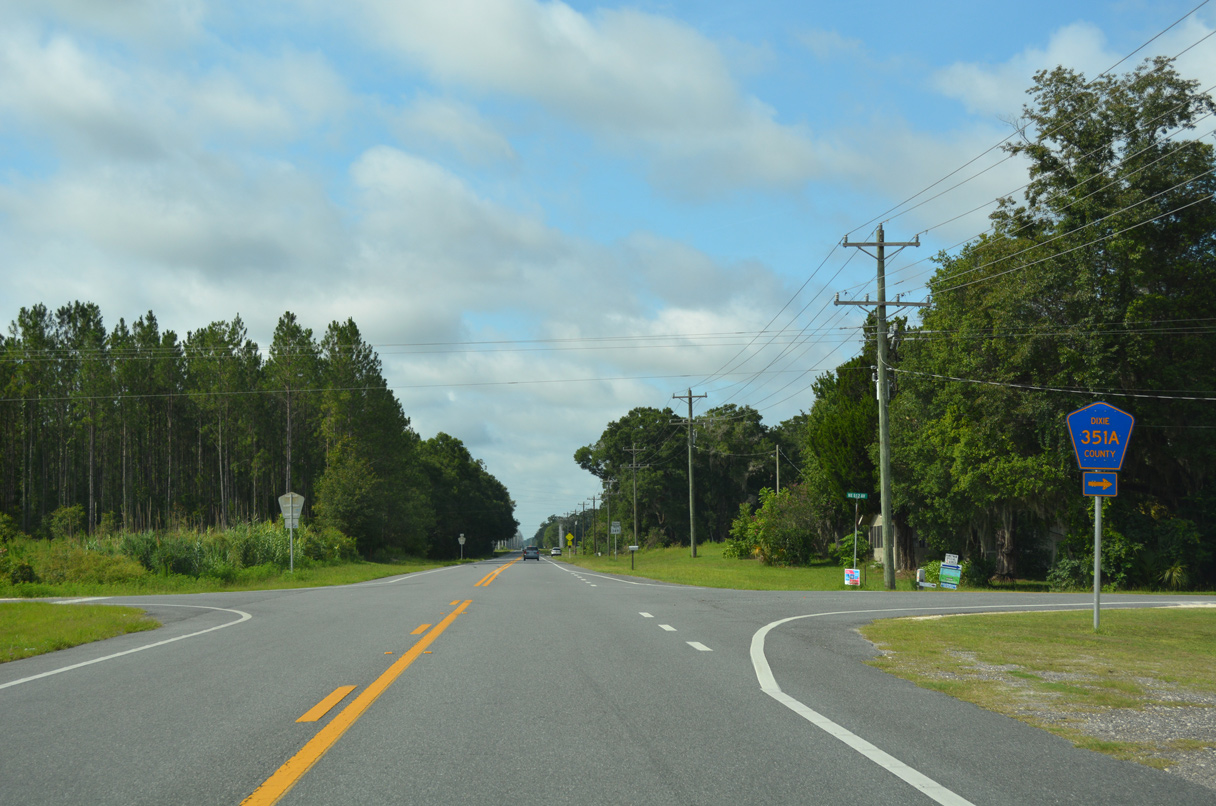
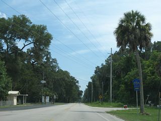
SR 349 intersects CR 351A at Dixietown.
06/30/17

CR 351A comprises a 2.07 mile cutoff west to CR 351. Unsigned CR 351U (NE 516th Avenue)loops east 4.61 miles to McMillan Bluff along the Suwannee River.
06/30/17
06/30/17

South
Confirming marker for CR 349 posted between U.S. 19/98/27 ALT and SE 108th Avenue at Old Town.
07/19/07
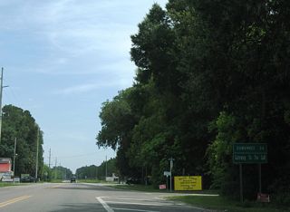
Dubbed the Gateway to the Gulf, CR 349 is one of four county roads spurring south from U.S. 19-98-27 ALT to the Gulf of Mexico in Dixie County.
07/19/07
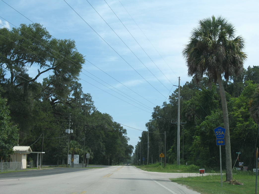
A 8.11 mile route following old U.S. 19, CR 55A crosses CR 349 just south of Old Town.
07/19/07
Page Updated Tuesday July 21, 2020.