
State Road 436 South - Orange County

 South
South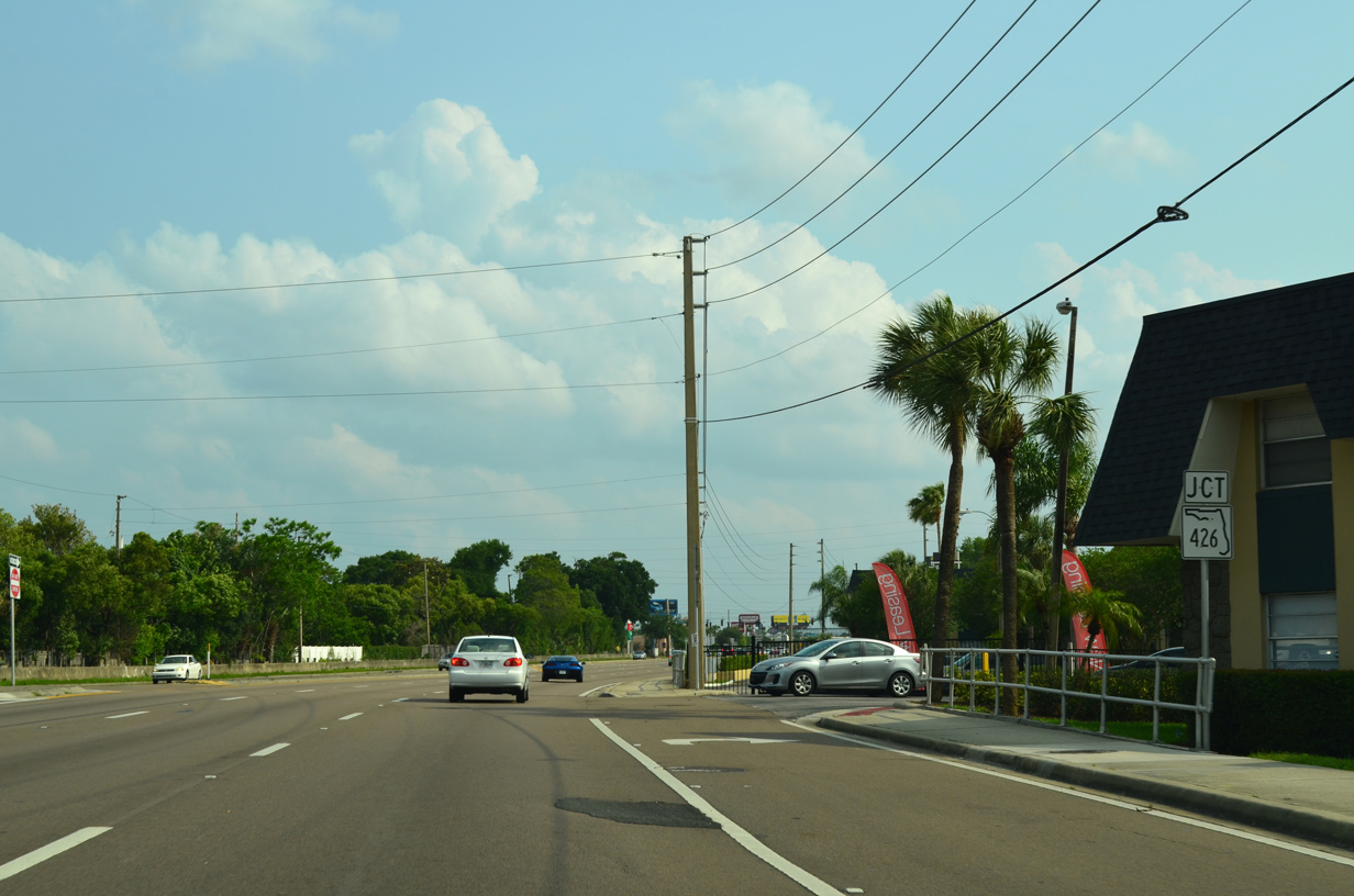
Four tenths of a mile south of Seminole County, SR 436 (Semoran Boulevard) converges with SR 426 (Aloma Avenue) at the unincorporated community of Aloma.
04/26/15
SR 426 follows Aloma Avenue east from the city of Winter Park to Goldenrod and SR 417 (Seminole Expressway) in Seminole County.
04/26/15
2-digit width shields for SR 426 were replaced with 3-digit width assemblies between 2014 and 2015. SR 426 travels 15.70 miles overall from SR 424 (Edgewater Drive) at Fairview Shores to Downtown Oviedo.
04/26/15
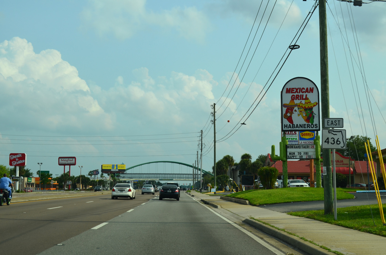
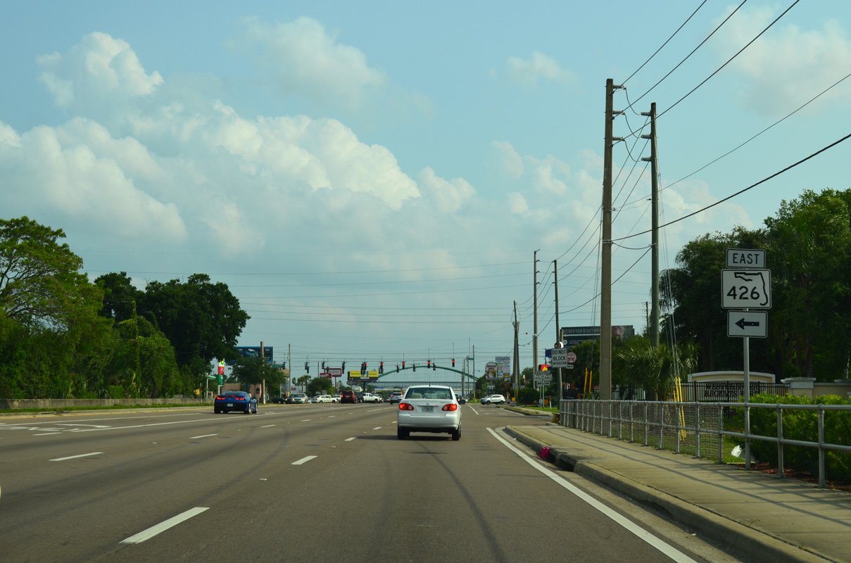
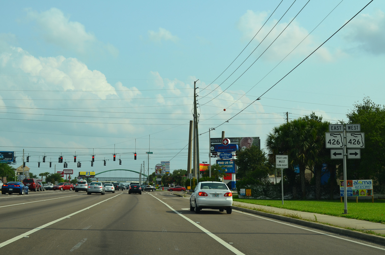
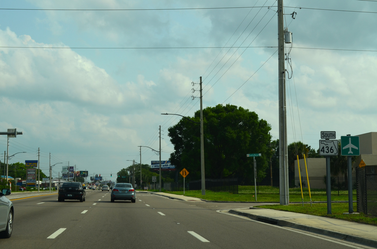
Although heading due south, the confirming marker posted for SR 436 after SR 426 references Semoran Boulevard eastbound.
04/26/15
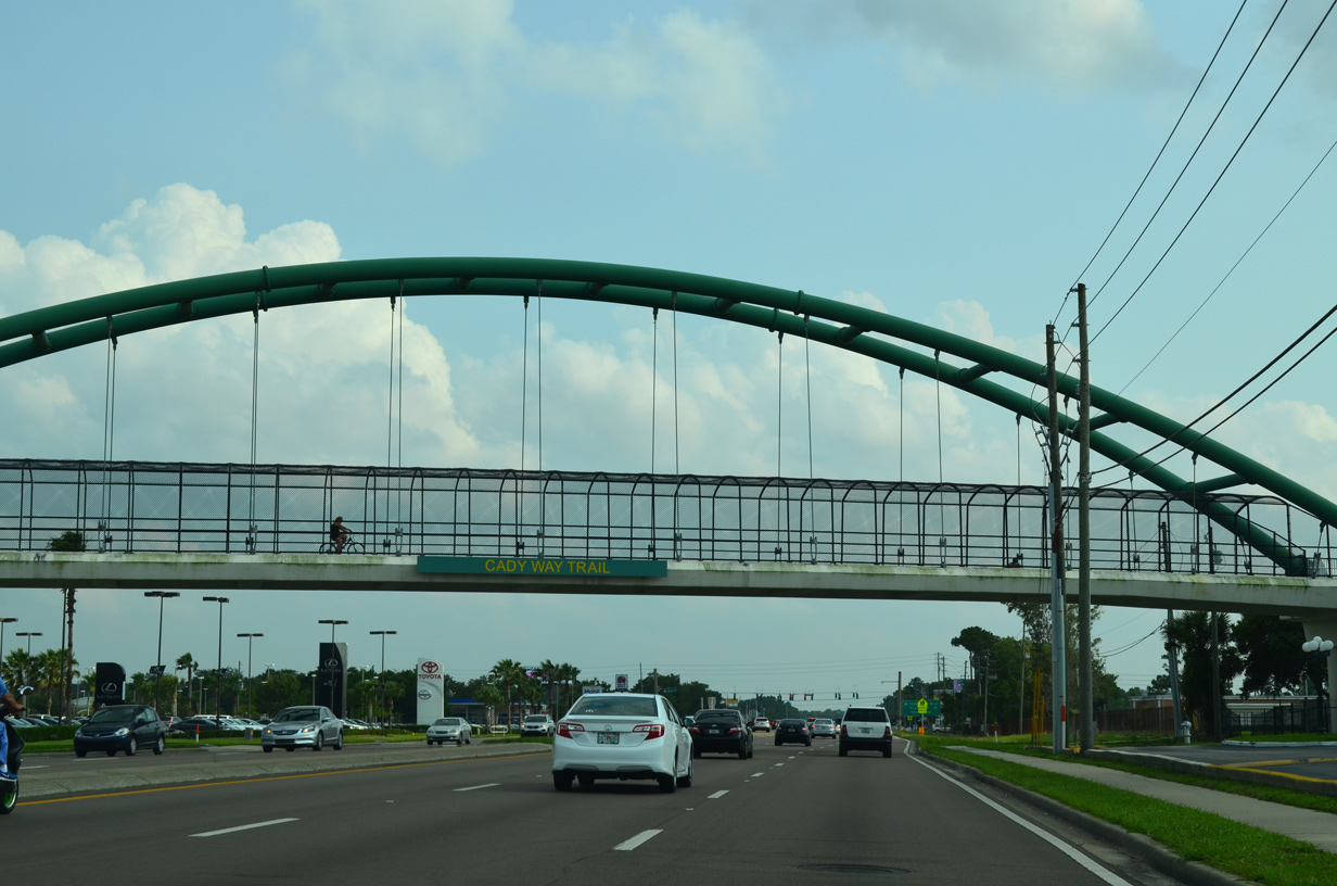
Cady Way Trail spans Semoran Boulevard across an arch bridge. The multi-use path extends northward into Seminole County as the Cross Seminole Trail / Purple Heart Trail to Oviedo.
04/26/15
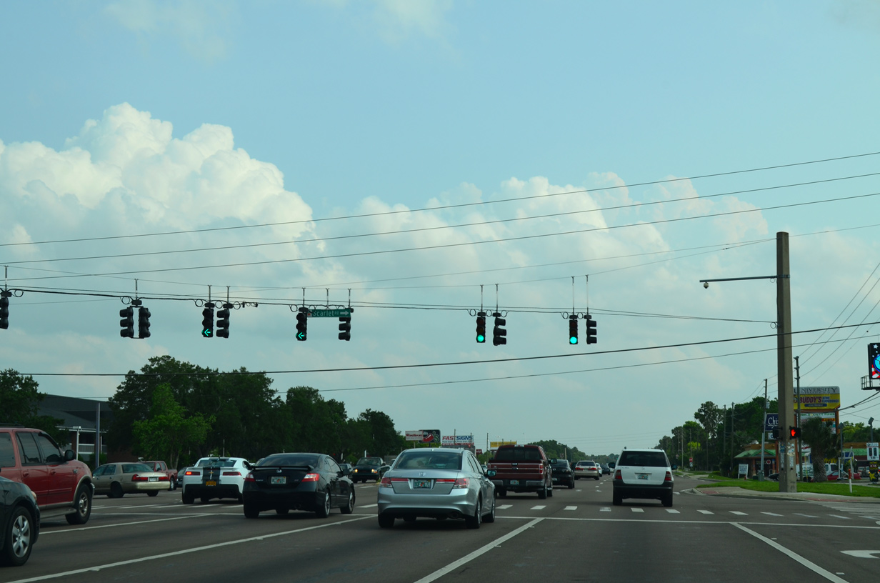
University Boulevard extends east from SR 436 (Semoran Boulevard) and Scarlet Road to Full Sail University nearby, SR 434 (Alafaya Trail) and the University of Central Florida (UCF).
04/26/15
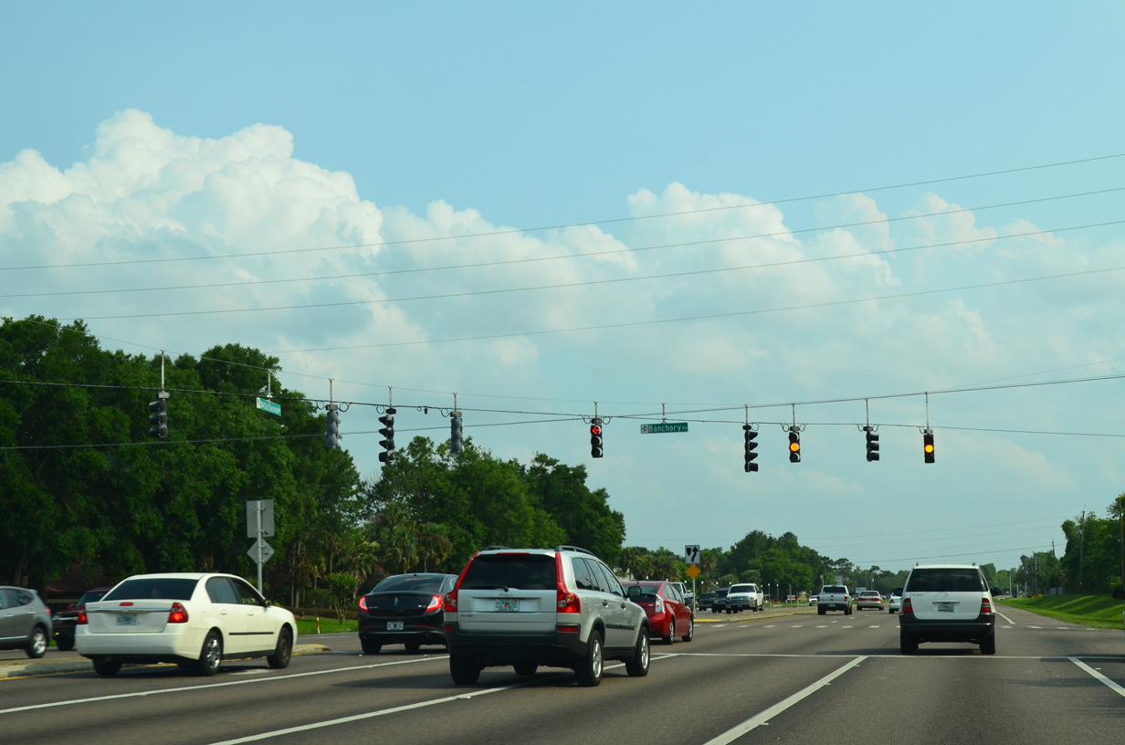
SR 436 (Semoran Boulevard) south at Banchory Road west to the Winter Park Pines neighborhood and University Park Drive north to Full Sail University.
04/26/15

Hanging Moss Road stems east from Semoran Boulevard to the commerce park corridor along Forsyth Road.
04/26/15
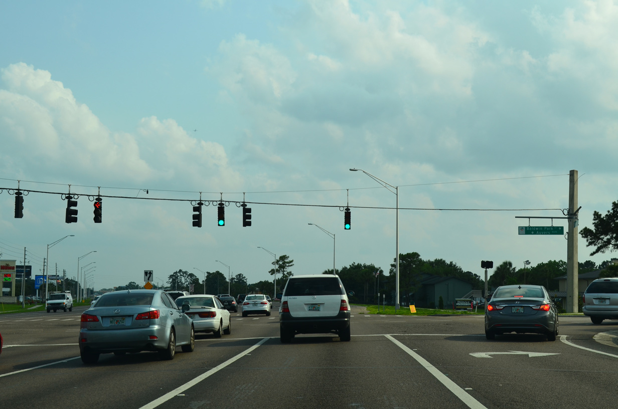
Baldwin Park Street links Semoran Boulevard with Baldwin Park. The master planned community was developed at the site of the Naval Training Center (NTC) Orlando, which closed in 1999.
04/26/15
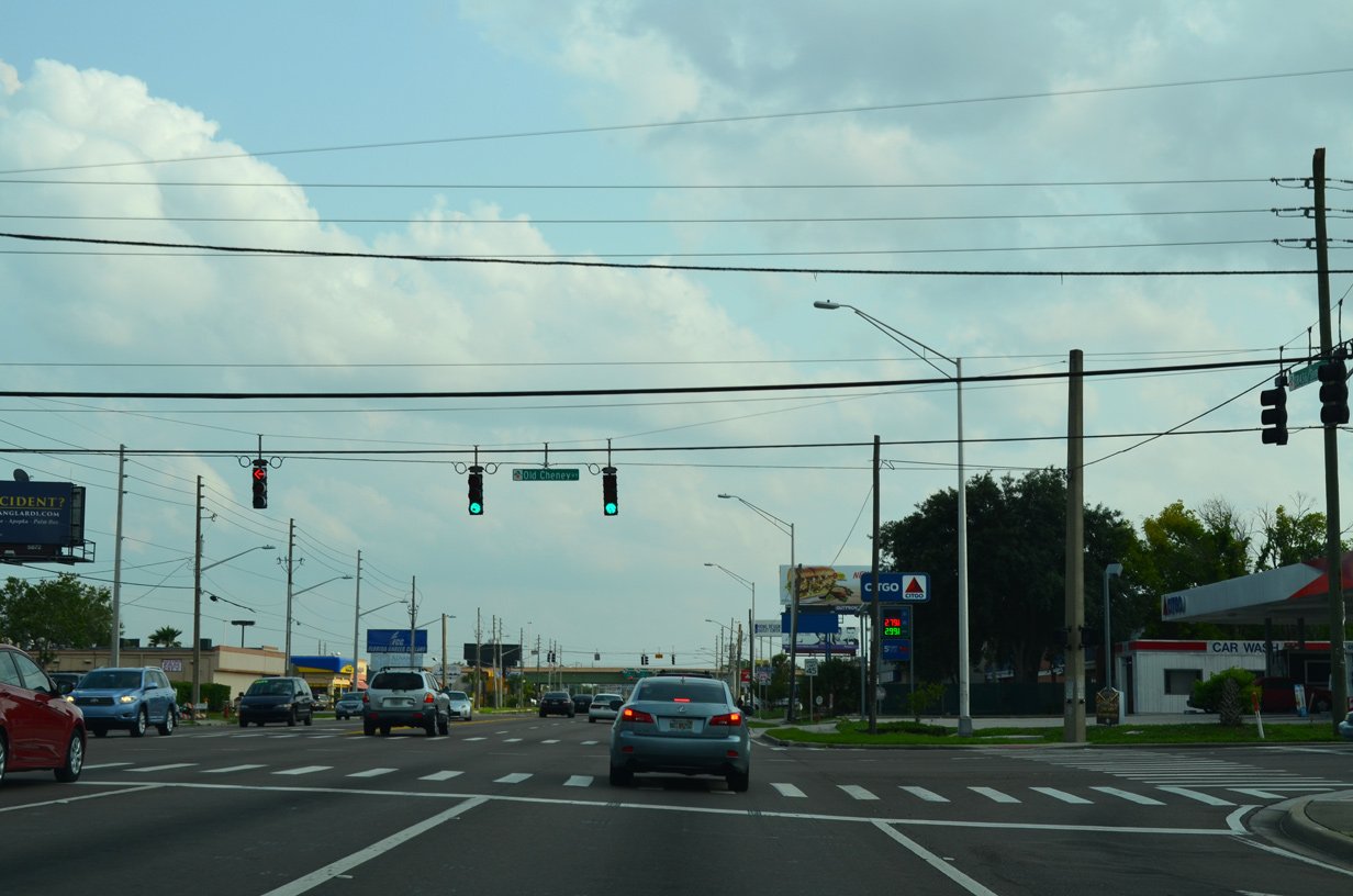
Southbound SR 436 at Old Cheney Highway. Old Cheney Highway is a the former main highway between Orlando and Christmas. This segment of the local road winds 1.25 miles southwest to Lake Barton Park from SR 50 (Colonial Drive).
04/26/15
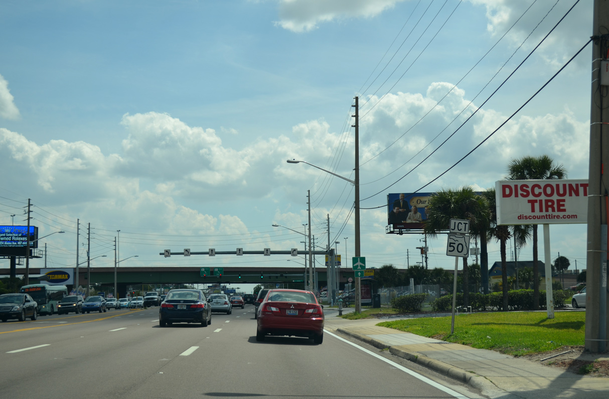
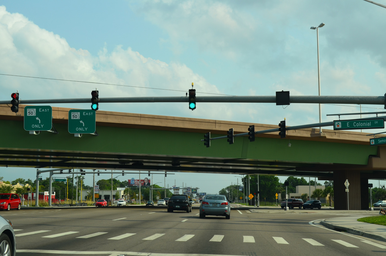
SR 436 (Semoran Boulevard) and SR 50 (Colonial Drive) converge at a single point interchange built between 2008 and 2010. The junction shield for SR 50 here was removed by 2015.
03/22/14
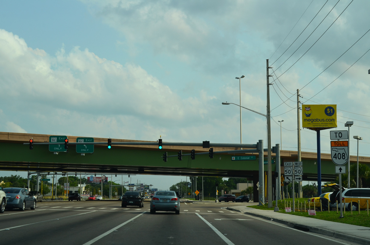
SR 436 continues 1.1 mile south from the SPUI with SR 50 to SR 408 (East-West Expressway). SR 408 ties into SR 50 to the east at University Park and to the west at Ocoee.
04/26/15
Stretching across Orlando and Orange County from Oakland to Christmas, SR 50 (Colonial Drive) is a heavily traveled arterial route. Bypassed by the tolled East-West Expressway, the state road still services significant local and commuter traffic.
04/26/15
Advancing south from SR 50 (East Colonial Drive), SR 436 travels just east of Lake Barton on the ensuing stretch.
04/26/15
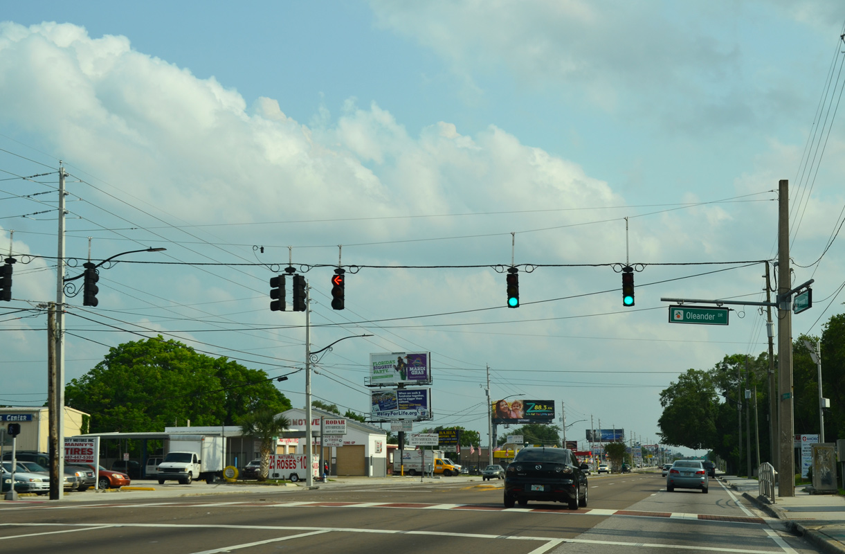
Oleander Drive heads east from the signal with Semoran Boulevard to Colonial High School in Azalea Park.
04/26/15
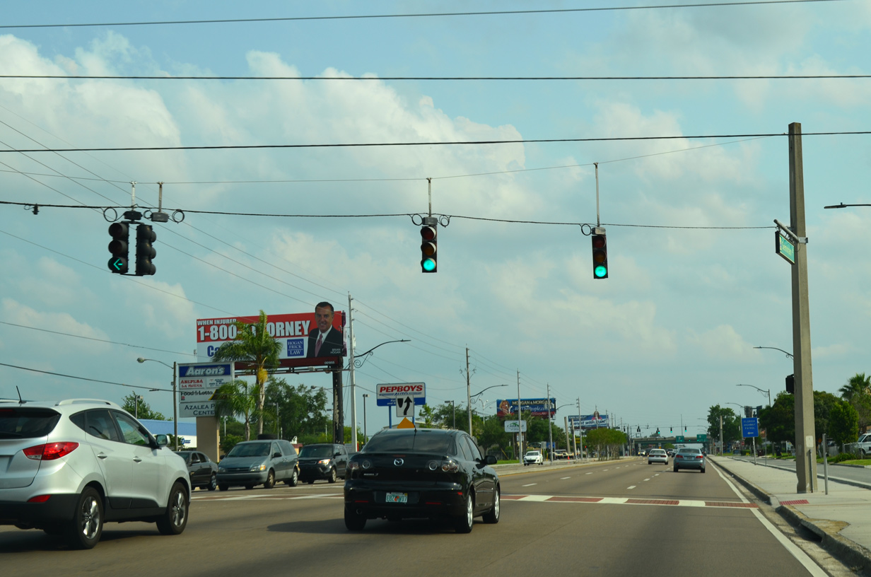
The succeeding southbound traffic light along Semoran Boulevard is with Dahlia Drive east to Azalea Park. A west side frontage street accompanies SR 436 south from Brosche Road to Kalmia Drive here.
04/26/15
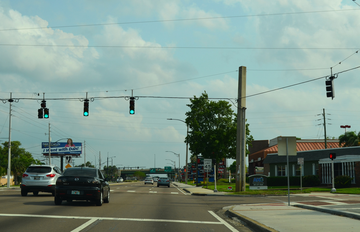
Kalmia Drive connects Semoran Boulevard with residential areas of Azalea Park to the west and the Lake Barton Village neighborhood.
04/26/15

Semoran Boulevard meets the tolled East-West Expressway south of Royal Oak Village shopping center at a parclo interchange.
04/26/15
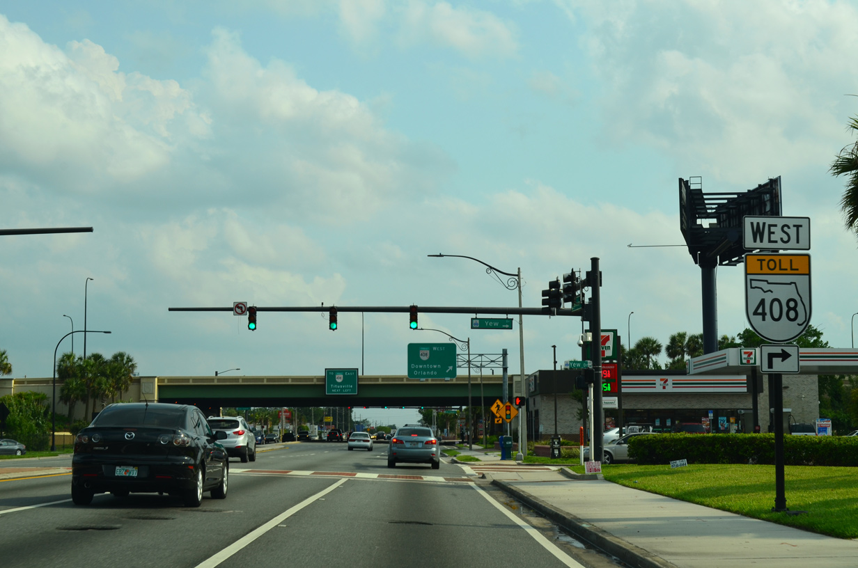
The westbound off-ramp to SR 436 ties into Semoran Boulevard across from Yew Drive. The SR 408 entrance ramp to Downtown Orlando follows.
04/26/15
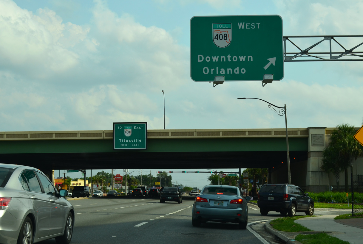
SR 408 (East-West Expressway) is a heavily traveled commuter route joining the eastern Orange County suburbs with Orlando. Downtown Orlando lies four miles to the west from SR 436.
04/26/15
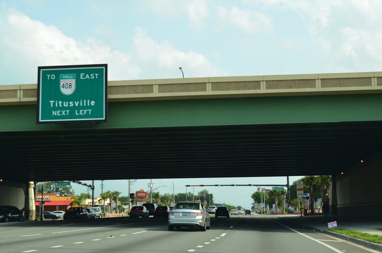
Passing under SR 408, motorists on SR 436 proceed to intersect Lake Underhill Road (CR 526). Lake Underhill Road parallels the south side of the East-West Expressway, connecting Semoran Boulevard with SR 408 east via an on-ramp at Yucatan Drive.
04/26/15
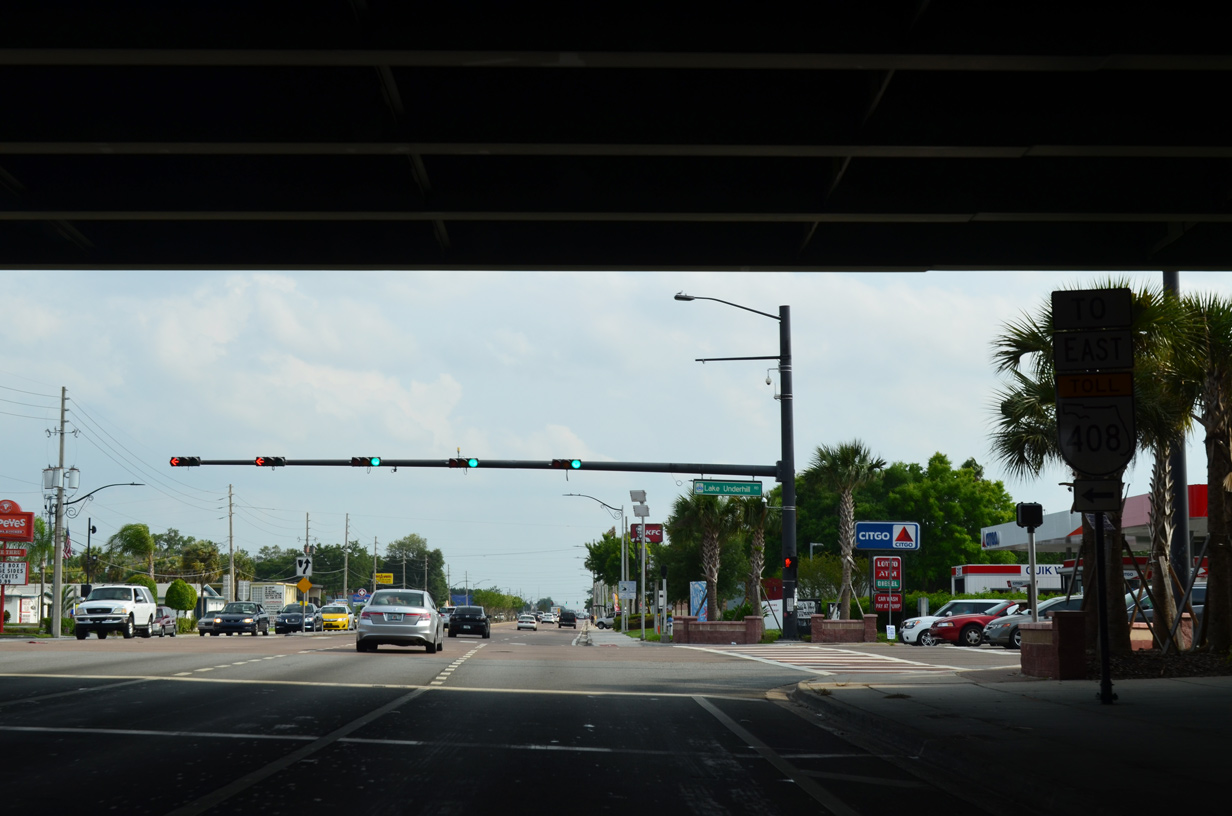
SR 408 extends another eight miles east to SR 50 (East Colonial Drive) at University Park.
04/26/15
Continuing south from SR 408, SR 436 (Semoran Boulevard) intersects Stonewall Jackson Road east to a pair of apartment complexes.
04/26/15
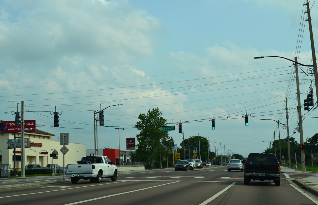
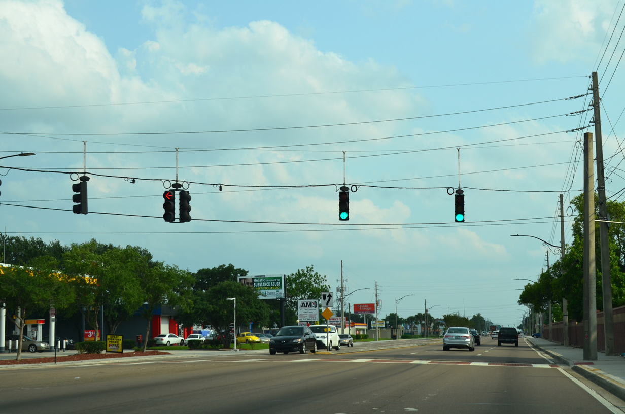
La Costa Drive crosses Semoran Boulevard from the Montery community to the Engelwood Park subdivisions to the east.
04/26/15
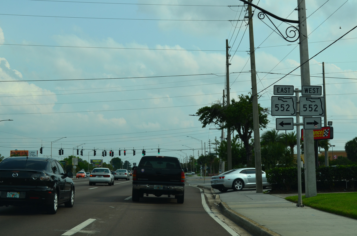
SR 552 (Curry Ford Road) angles across SR 436 (Semoran Boulevard) along a 2.64 mile course between SR 15 (Conway Road) in Orlando and SR 551 (Goldenrod Road) at Golden Acres.
04/26/15
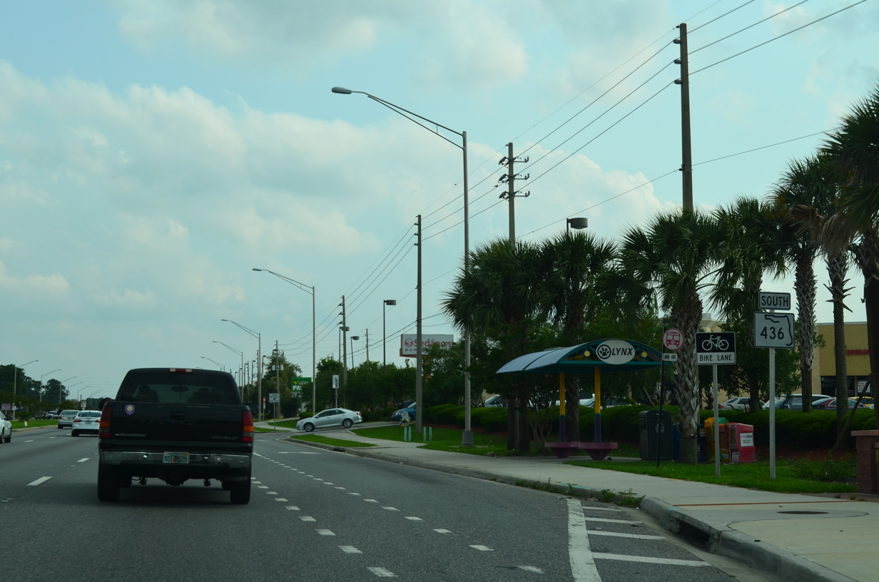
SR 436 confirming marker south of SR 552 (Curry Ford Road). Semoran Boulevard remains within the Orlando city limits to Orlando International Airport (MCO).
04/26/15
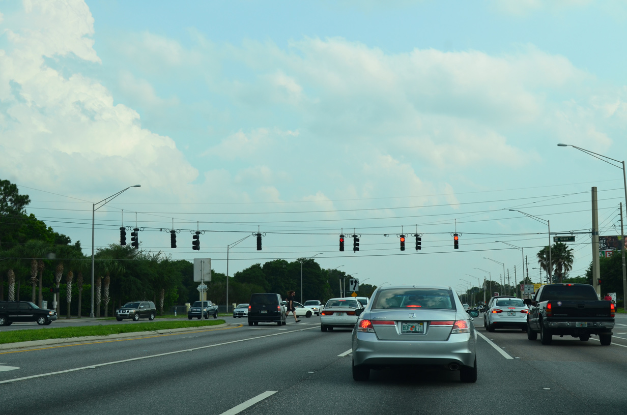
Grant Street serves an array of condominiums and apartment complexes west from Semoran Boulevard to Frederica Drive at Dover Estates and east to Raper Dairy Road.
04/26/15
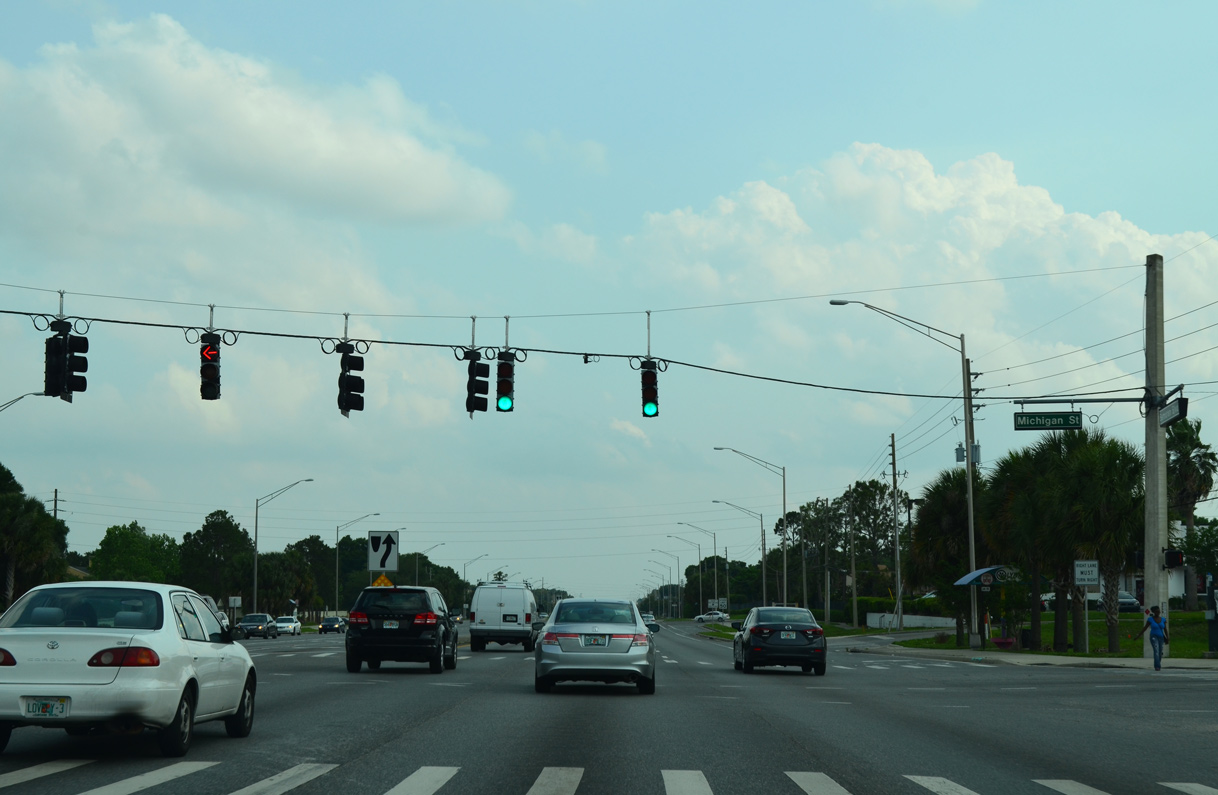
Michigan Street extends east from Rio Grande Terrace and Angebilt in central Orlando to residential areas around Lake Porter and SR 436 at this traffic light.
04/26/15
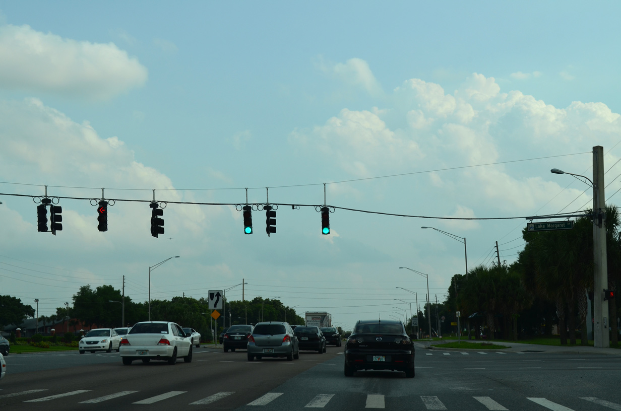
Semoran Boulevard lines the west side of Lake Frederica ahead of Lake Margaret Drive west to the Bryn Mawr neighborhood in Orlando.
04/26/15
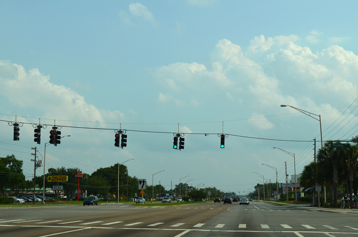
The next southbound signal along SR 436 (Semoran Boulevard) is with Pershing Avenue west to Barber Park and east to SR 551 (Goldenrod Road).
04/26/15
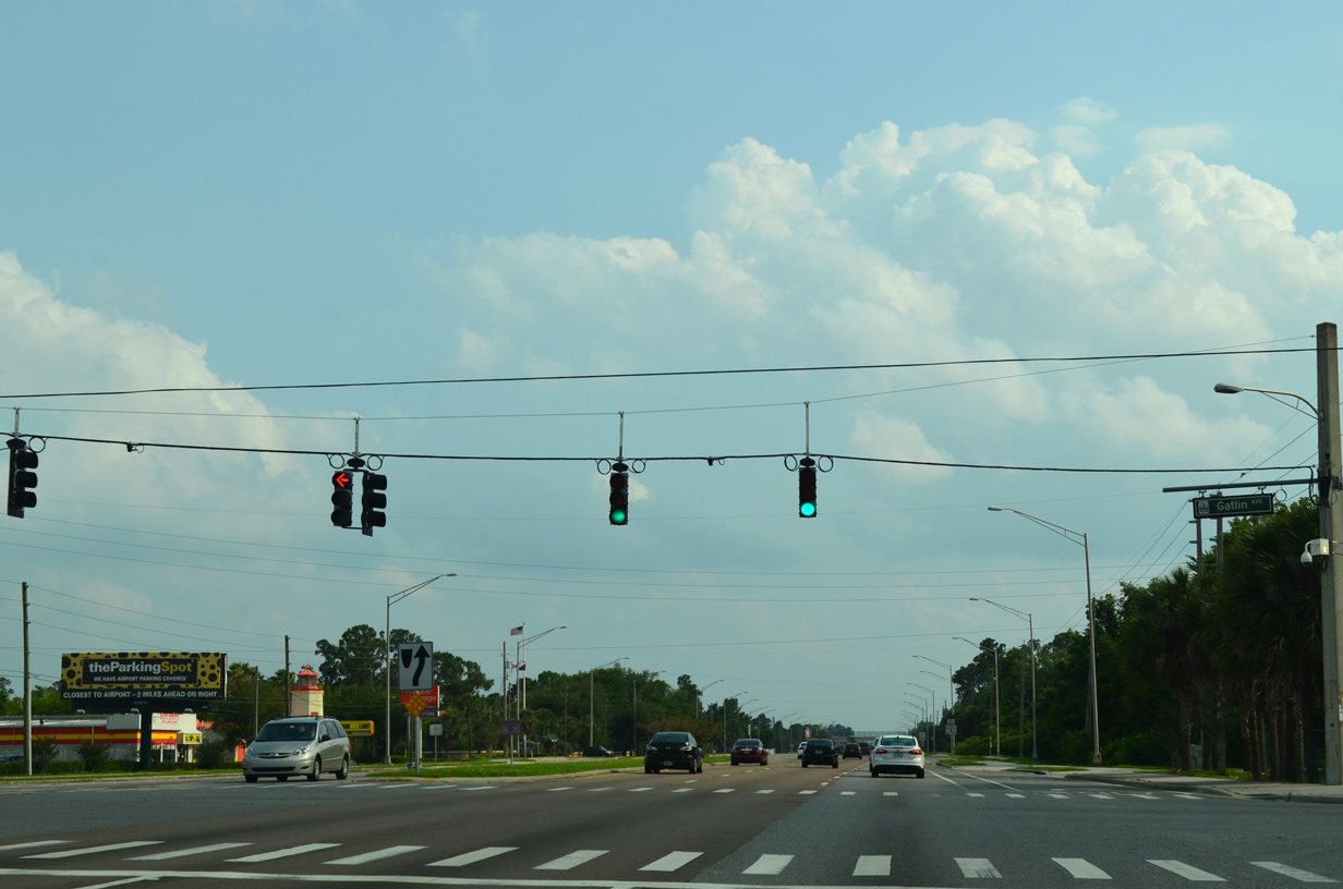
Gatlin Avenue leads west from SR 436 to Barber Park and Conway Gardens Road north by Lake Conway.
04/26/15
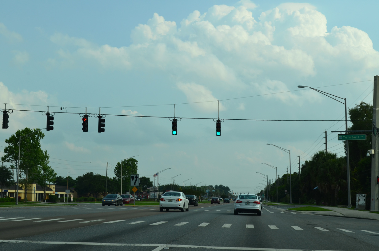
Turnbull Drive connects Semoran Boulevard with the Conway Acres and Countryside subdivisions.
04/26/15
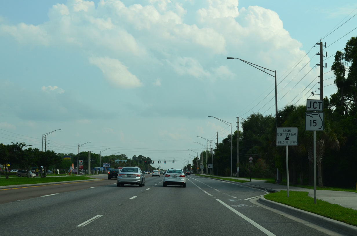
SR 15 turns east from Conway Road onto Hoffner Avenue at the Belle Isle city limits. Hoffner Avenue leads the state road 1.25 miles east to SR 436 (Semoran Boulevard).
04/26/15

SR 15 constitutes a 340 mile route from Belle Glade near Lake Okeechobee to the Georgia state line north of Hilliard. The bulk of the state road overlays U.S. 17 or 441 as an unmarked counterpart. Through Orlando and Conway, the stand alone section of SR 15 heads southeast to the Beachline Expressway and north to U.S. 17/92 at Colonialtown.
04/26/15
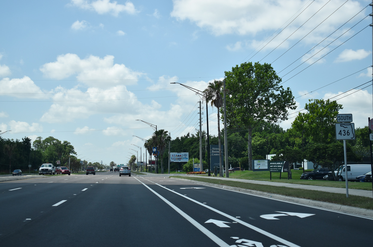
Car dealerships, parking facilities and other businesses catering to travelers flying to Orlando International Airport (MCO) populate the frontage of SR 436 southward from SR 15 to SR 528.
05/30/19
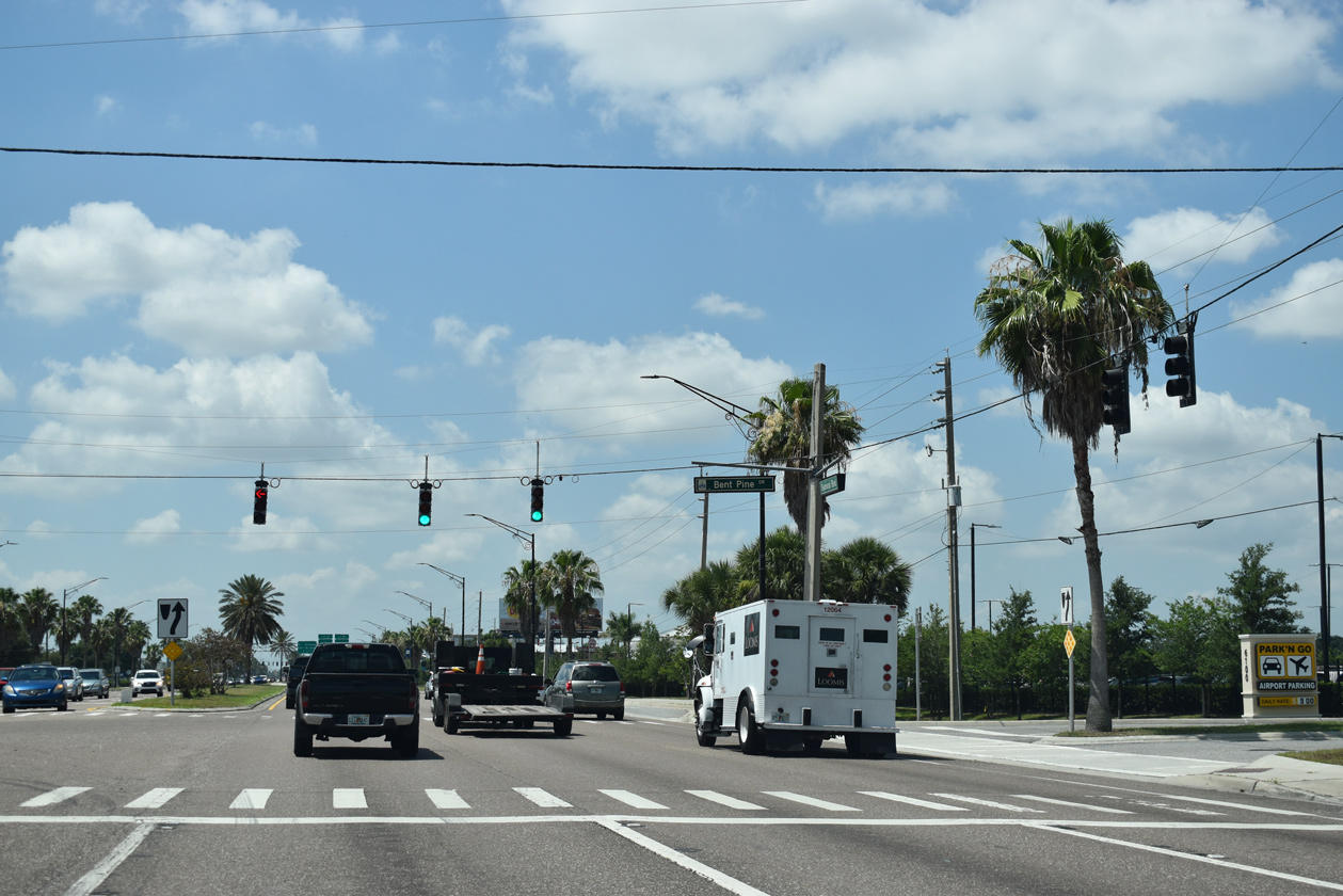
Entering Lee Vista in Orlando, SR 436 (Semoran Boulevard) intersects Bent Pine Road east to a number of apartments and condo complexes.
05/30/19
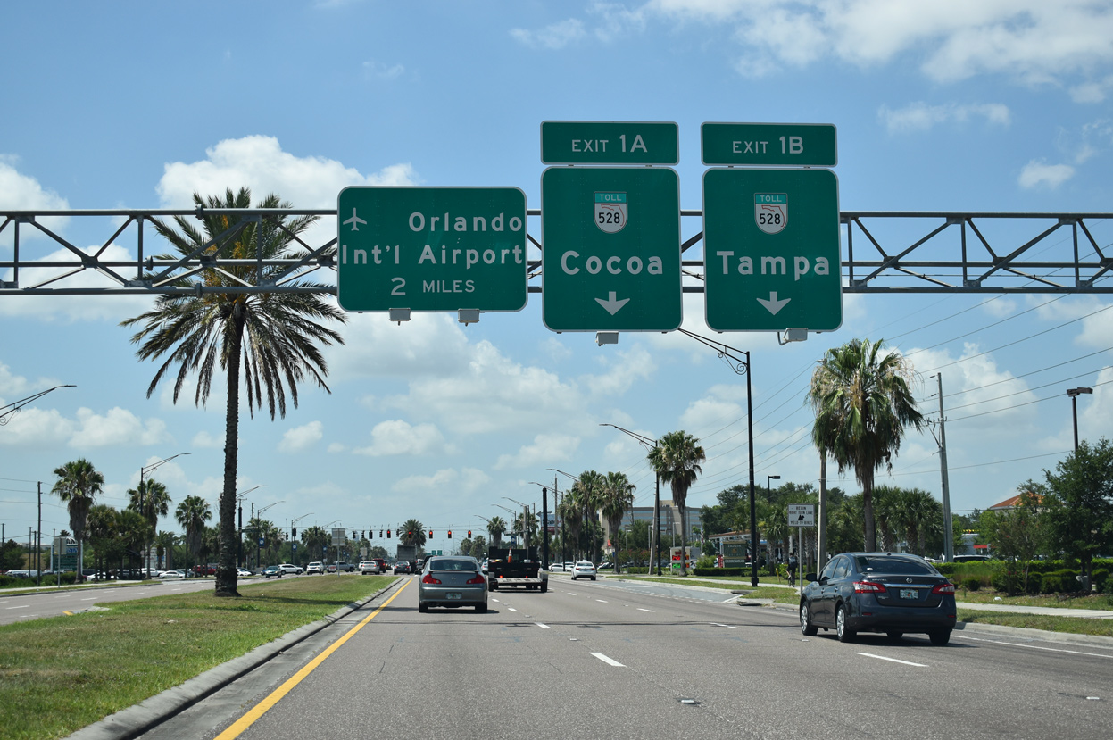
Overheads for the forthcoming exchange with SR 528 (Beachline Expressway) precede the intersection with Lee Vista Boulevard. The ramps for SR 528 were previously numbered Exits 1 B/1 A to aid tourist traffic.
05/30/19
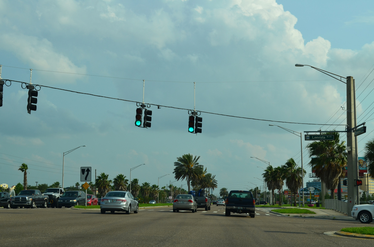
Lee Vista Boulevard winds across Orlando east from Judge Road to SR 436 (Semoran Boulevard), Lee Vista Promenade retail center, the Vista Lakes community and SR 417 (Central Florida GreeneWay).
04/26/15
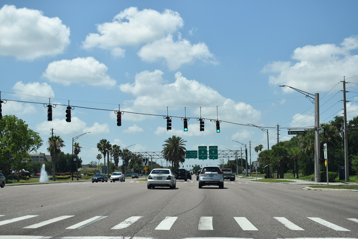
Hazeltine National Drive mirrors the course of Lee Vista Boulevard to the south, joining Semoran Boulevard with Lee Vista Promenade, Lee Vista Center business park, and the tolled Goldenrod Road extension.
05/30/19
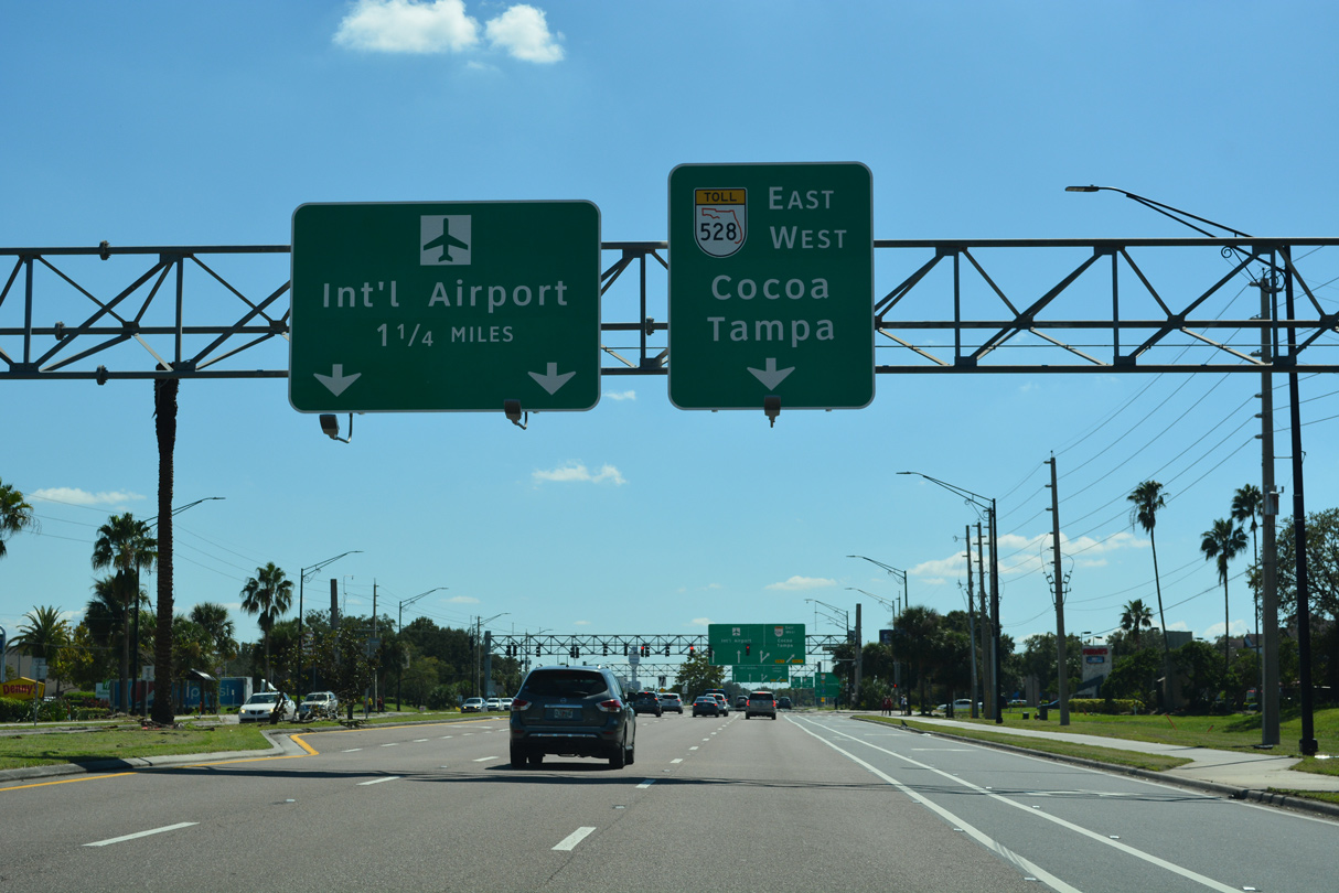
Traffic along SR 436 (Semoran Boulevard) south separates into ramps for SR 528 (Beachline Expressway) beyond the signal with N Frontage Road. SR 528 follows the tolled Beachline Expressway 42 miles east from I-4 to I-95 at Cocoa. The state road runs for 54 miles to SR A1A at Cape Canaveral.
10/01/22
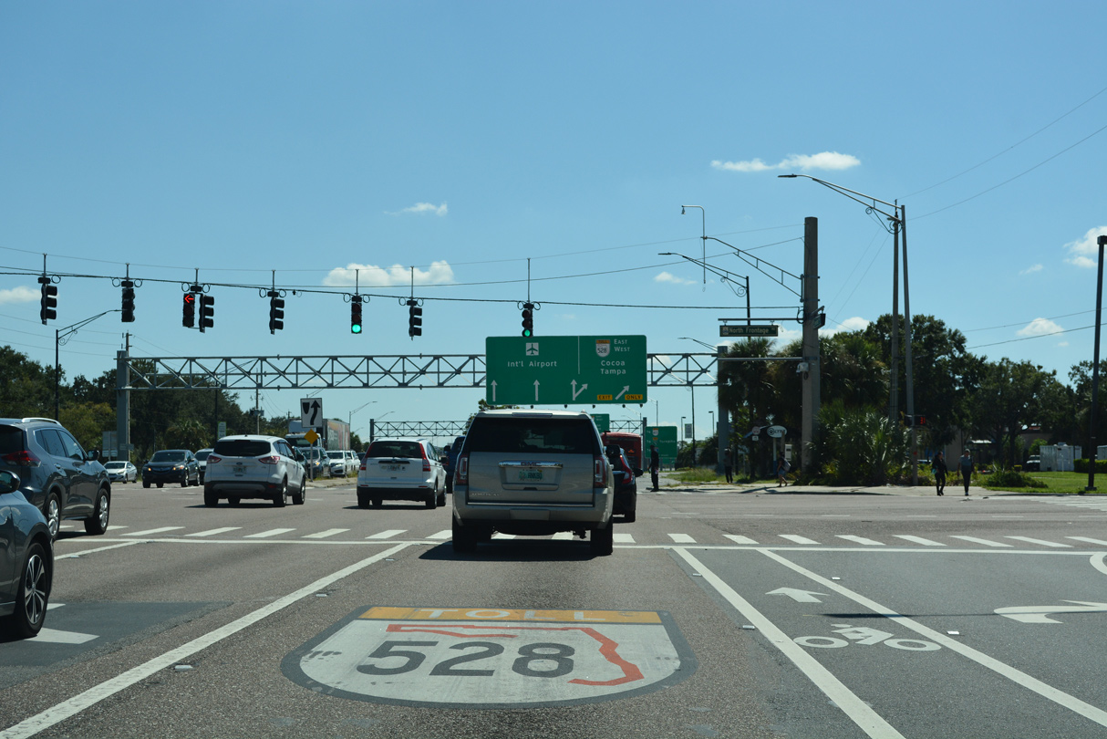
N Frontage Road weaves southwest from SR 436 and T.G. Lee Boulevard through the Orlando Gateway commercial area to become McCoy Road along the north side of SR 528.
10/01/22
The last reassurance shield for SR 436 southbound.
10/01/22
Costing $118 million, construction from August 2020 to July 2022 converted the exchange joining SR 436/528 into a systems interchange.1
10/01/22
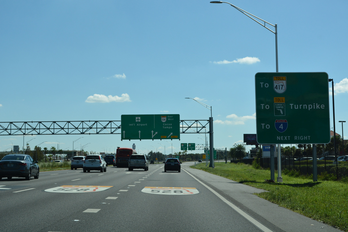
The ensuing exit westbound on the Beachline Expressway links with Tradeport Drive south to cargo facilities of Orlando International Airport (MCO). SR 528 converges with Florida's Turnpike in six miles near Pine Castle.
10/01/22
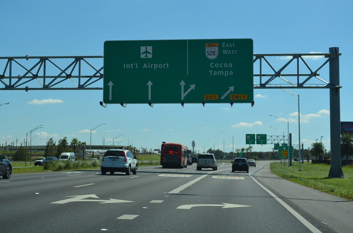
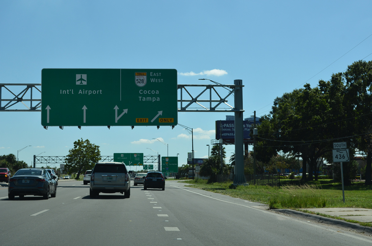
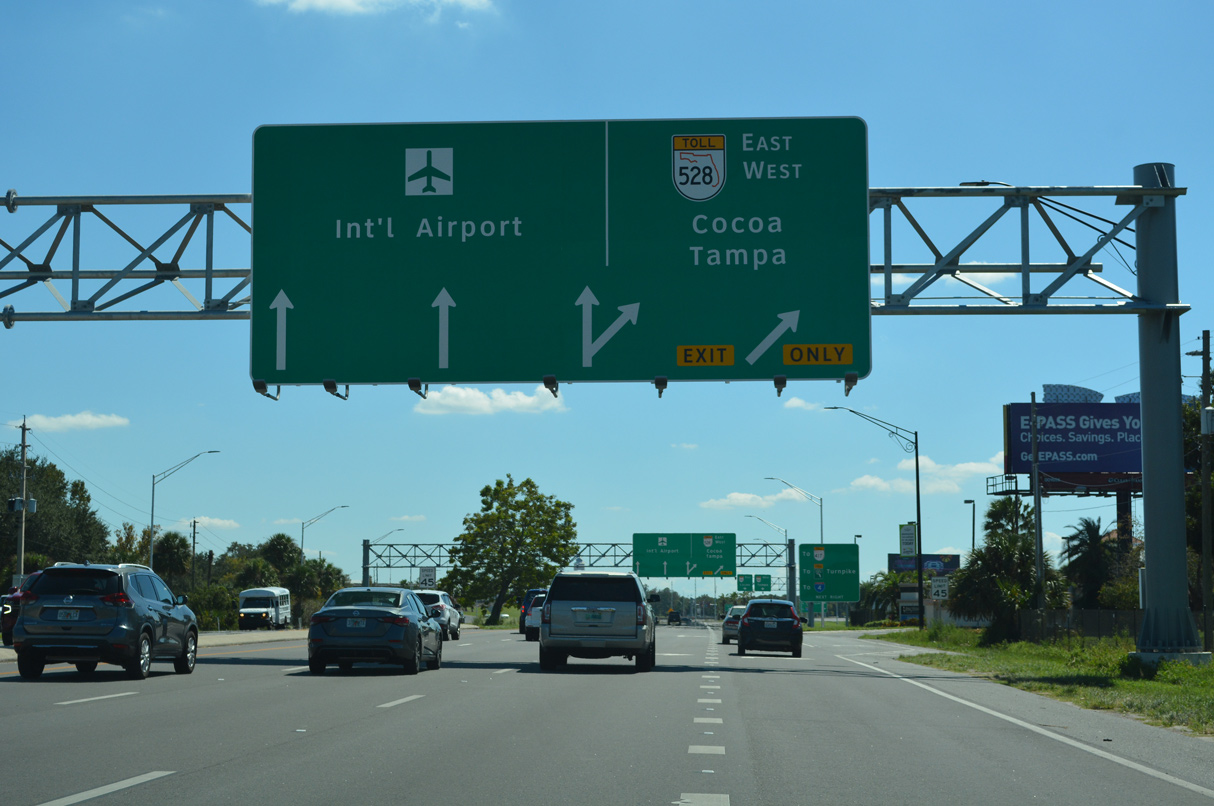
All traffic bound for SR 528 (Beachline Expressway) leaves SR 436 (Semoran Boulevard) south in unison. The previous exchange separated traffic west at Exit 1 B and east at Exit 1 A.
10/01/22

SR 436 (Semoran Boulevard) transitions onto Jeff Fuqua Boulevard, a controlled access highway through Orlando International Airport (MCO), beyond the turbine interchange with SR 528.
10/01/22
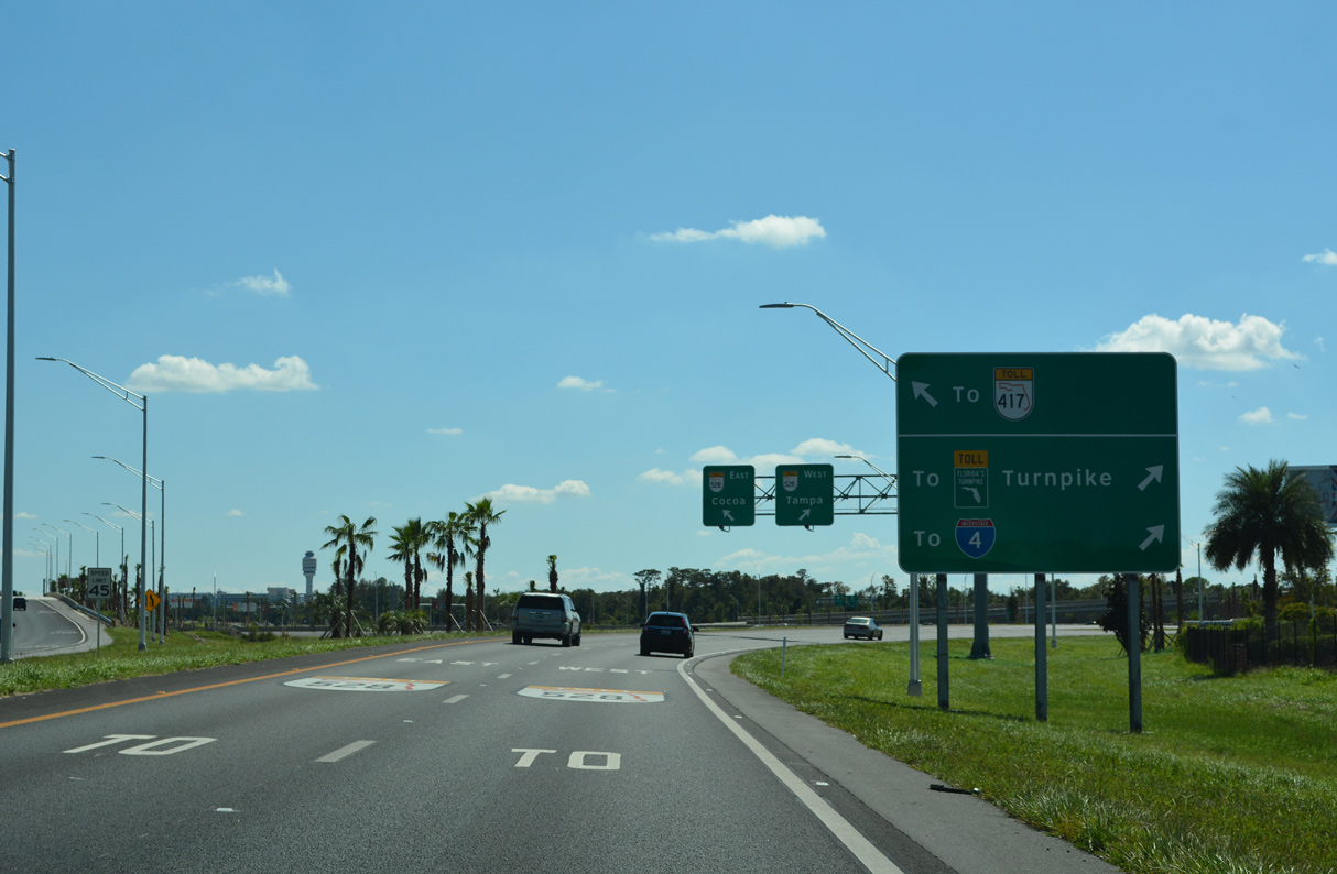
The Beachline Expressway connects with Interstate 4 west to Walt Disney World, Lakeland and Tampa in 11 miles.
10/01/22
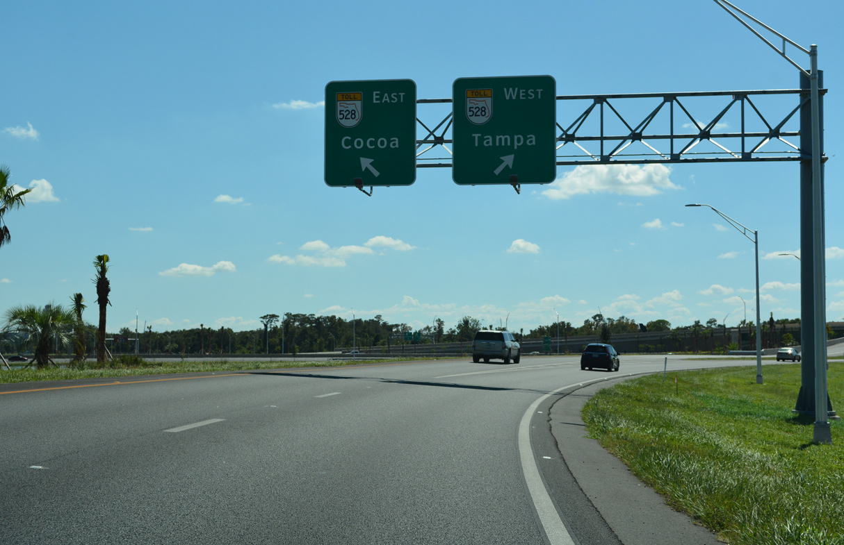
SR 528 (Beachline Expressway) continues east from the south end of SR 436 to Cocoa and the Space Coast.
10/01/22

References:
- SR 528/SR 436 Interchange Improvements - Spring 2020 Fact Sheet. https://www.528-436interchange.com/ wp-content/uploads/ FINAL-Factsheet_528-143.pdf.
Photo Credits:
- ABRoads: 03/22/14, 04/26/15, 10/01/22
- Alex Nitzman: 05/30/19
Connect with:
Page Updated Monday October 03, 2022.