
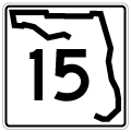
State Road 15 / County Road 15
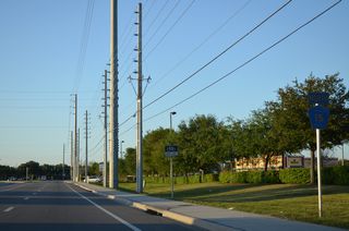
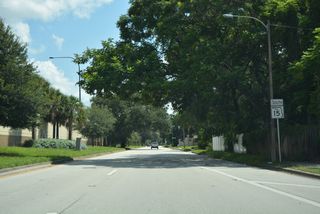
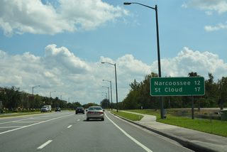
SR 15 primarily represents the unsigned counterpart of U.S. 17 throughout much of North Florida. North from U.S. 192/441, County Road 15 separates along Narcoosee Road, east of St. Cloud. CR 15 enters Orange County and southeast Orlando near Lake Nona. Continuing along Narcoosee Road, CR 15 becomes SR 15 at Lee Vista Boulevard. Prior to 2020, when 1.43 miles of Narcoossee Road was relinquished from state control, CR 15 became SR 15 at SR 528 (Beachline Expressway). The state road navigates along an urban route northwest to Conway and central Orlando on a combination of Narcoosee Road, Hoffner Avenue and Conway Road.
The state road travels alongside the East-West Expressway (SR 408) west to Lake Underhill and Mills Avenue southeast of Downtown Orlando. Mills Avenue leads SR 15 north to U.S. 17/92 at SR 50 (Colonial Drive). SR 15 accompanies the two US Highways northward through Winter Park as an unsigned route. A county road section branches west from the pair through Lake Mary, Sanford and Lake Monroe. The route north from SR 46 to Orange Boulevard (CR 431) at I-4 became a part of U.S. 17/92 when the U.S. highways were realigned westward from Sanford onto SR 46 and Monroe Road in 2018. North into Volusia County, SR 15 remains paired with U.S. 17 as an unmarked route.
State Road 15 / County Road 15 Guides
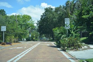
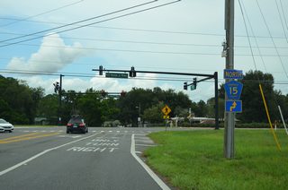
North
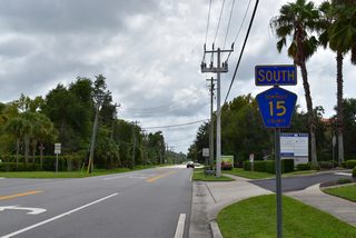
South
Although unsigned, State Road 15 ends at the state line alongside U.S. 1-23-301 north of Andrews. Georgia State Route 15 continues the numbering northward as the signed counterpart of U.S. 1 to Folkston. The multi state route travels the height of Georgia, concluding along U.S. 23/441 at the North Carolina line near Dillard.
Connect with:
Page Updated Saturday June 22, 2024.