
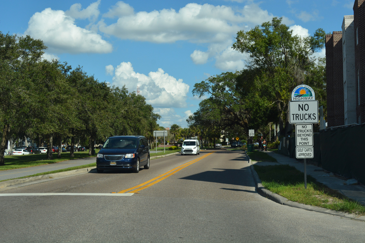
County Road 438 / State Road 438 - East


Old Lake County Road 50 becomes Orange County Road 438 (Oakland Avenue) at Lake Boulevard, a short connector to adjacent SR 50.
10/20/18
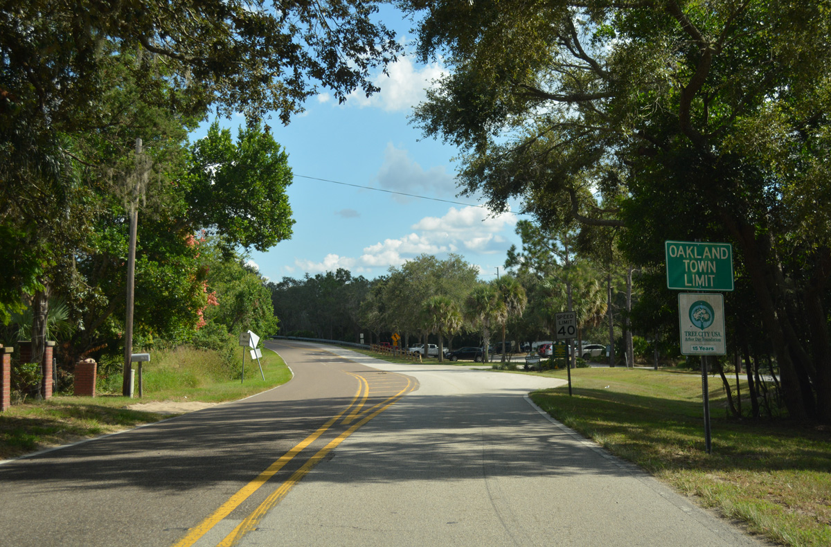
CR 438 (Green Mountain Scenic Byway) enters the town of Oakland just across the county line. Oakland Avenue passes Killarney Station park along the West Orange Trail here.
10/20/18
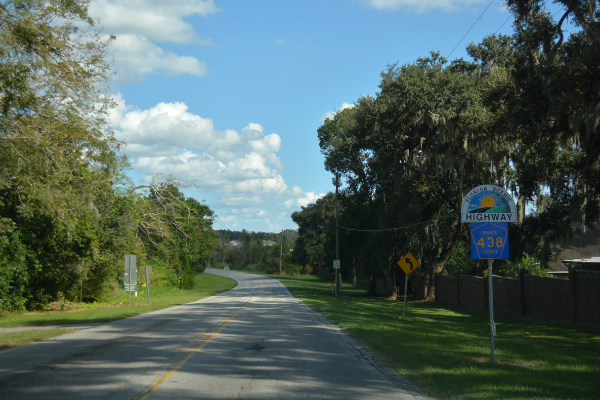
CR 438 (Oakland Avenue) ties into Deer Island Drive, a short connector to SR 50 (West Colonial Drive). Continuing east, Oakland Avenue diverges from the adjacent arterial toward Downtown Oakland.
10/20/18

Tubb Street is branch of CR 438 linking CR 438 (Oakland Avenue) in the town of Oakland with SR 50 (West Colonial Drive) to the south. Tubb street north to Lake Apopka doubles as a spur of the Green Mountain Scenic Byway.
10/20/18
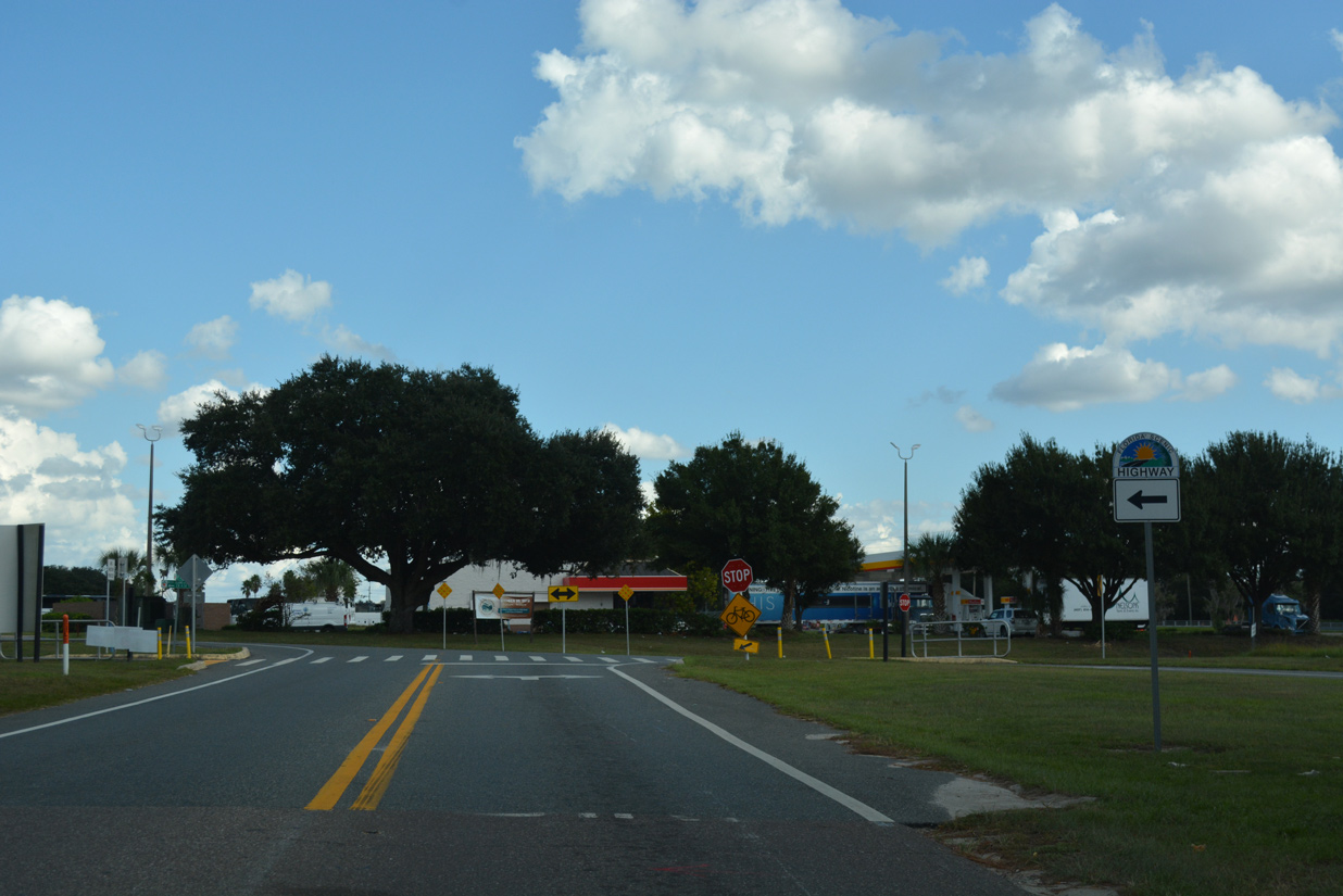
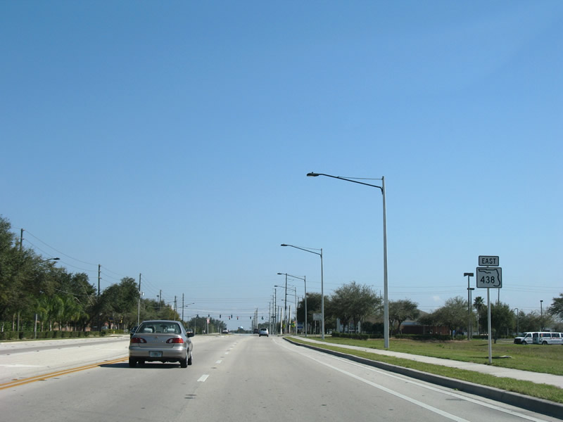
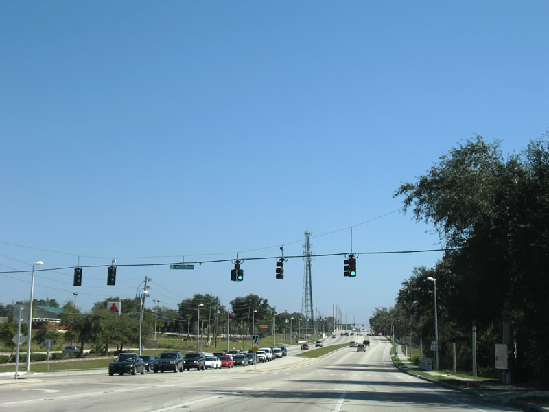
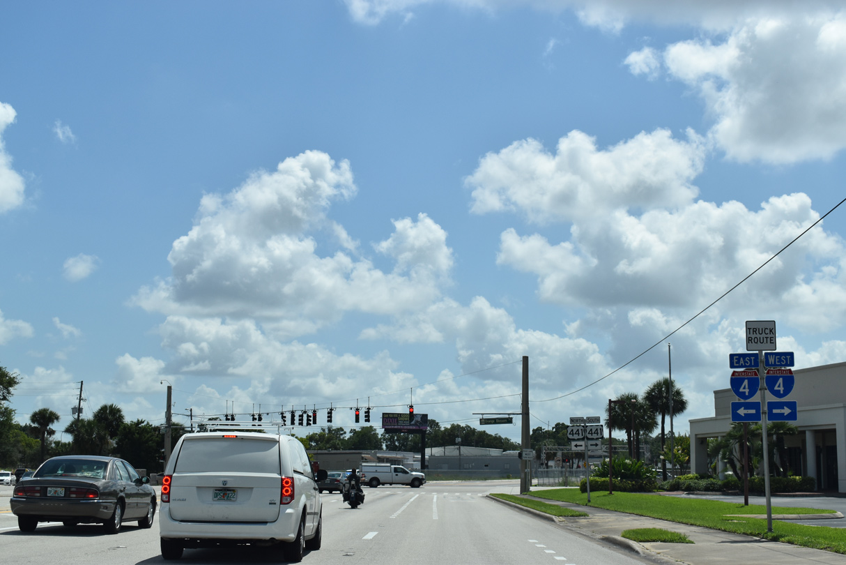
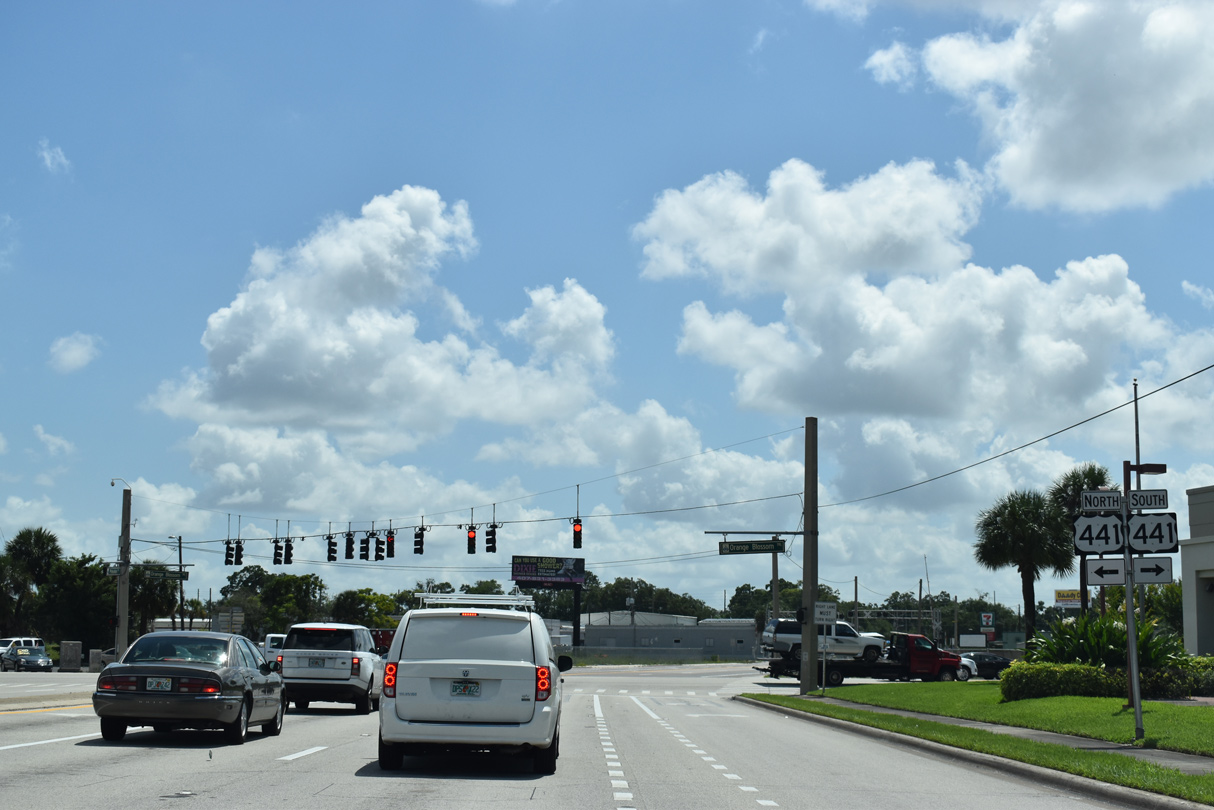
A confirming marker appears along County Road 438 east at the intersection with Avalon Road (CR 545) south in west Winter Garden.
10/20/18
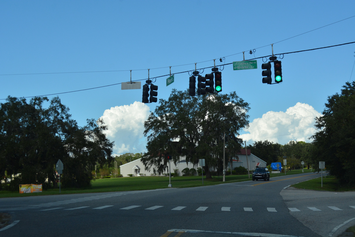
CR 438 (Plant Street) curves northward from Brandy Lake to a signalized intersection with Brick Road west and Story Road east.
10/20/18
Plant Street enters the Winter Garden historic district at Park Avenue.
10/20/18
 East
East
Plant Street (former SR 438) east at Boyd Street in historic Downtown Winter Garden.
02/02/08
Leaving Downtown Winter Garden, Plant Street (old SR 438) intersects Dillard Street (old SR 537). Decommissioned in 2009, SR 537 spurred 1.027 miles south from Plant Street to SR 50 (Colonial Drive) at Daniels Road.
02/02/08
East
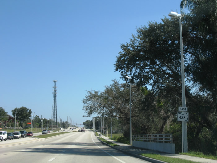
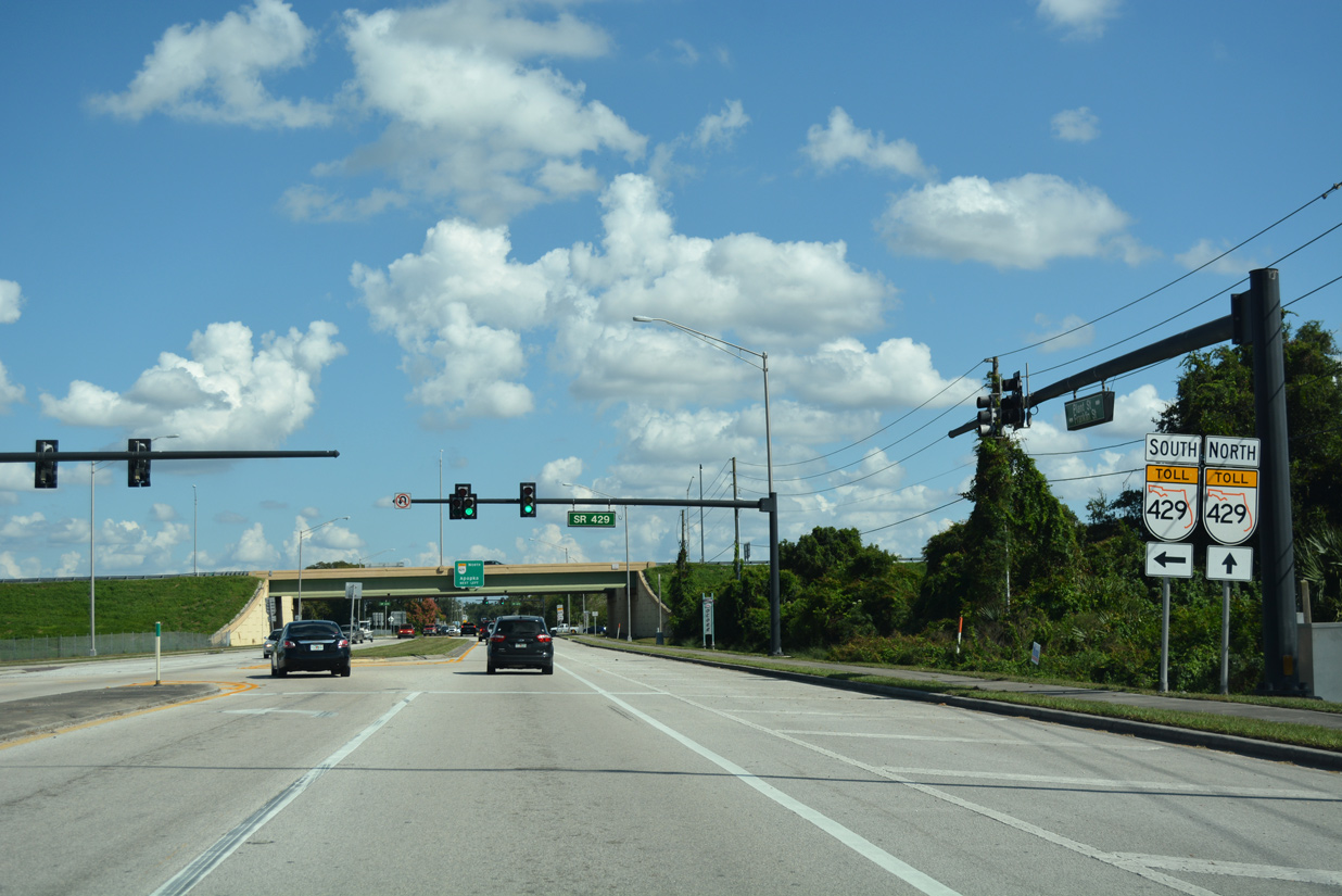
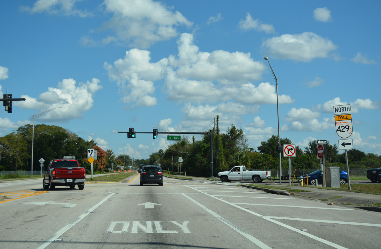
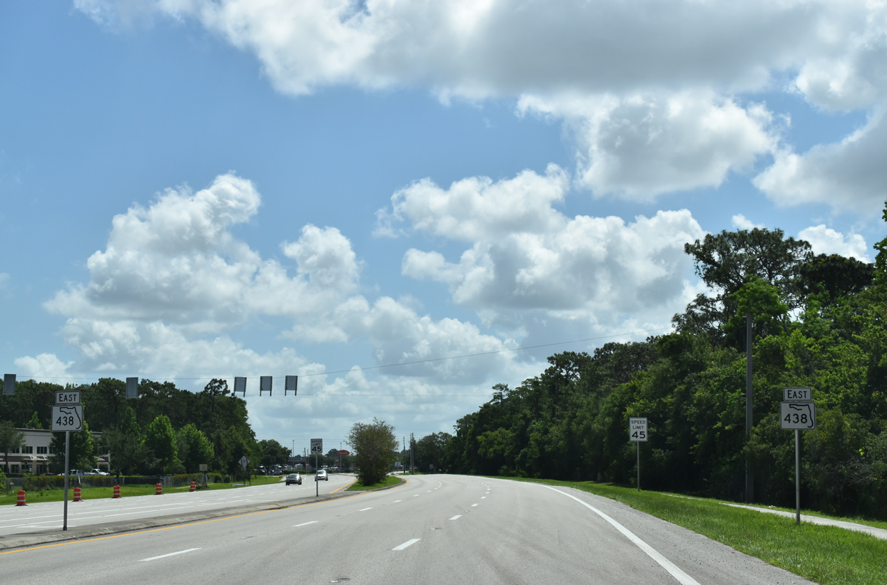
Plant Street becomes State Road 438 east from the intersection with Crown Point Road north just ahead of SR 429 (Daniel Webster Western Beltway).
10/20/18
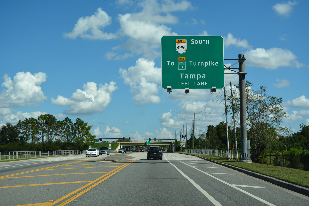
A loop ramp carries drivers onto SR 429 south to the nearby exchanges with SR 50 (Colonial Drive) and the Florida's Turnpike mainline. SR 429 extends south to I-4 in Osceola County.
10/20/18
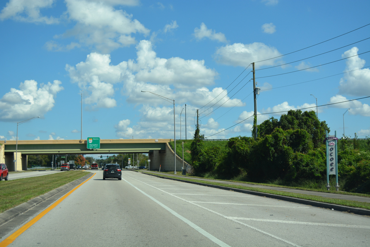
SR 438 enters the Ocoee city limits through the exchange with SR 429. Plant Street also becomes Franklin Street.
10/20/18
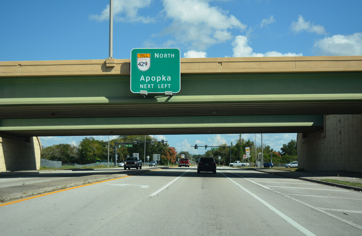
The tolled Western Beltway connects Winter Garden and Ocoee with Apopka and the Wekiva Parkway north into Lake County.
10/20/18
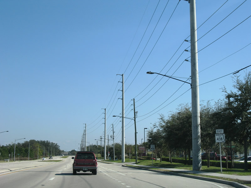
The first confirming marker for SR 438 appears as Franklin Street narrows to two lanes east of SR 429 (Western Beltway).
10/20/18
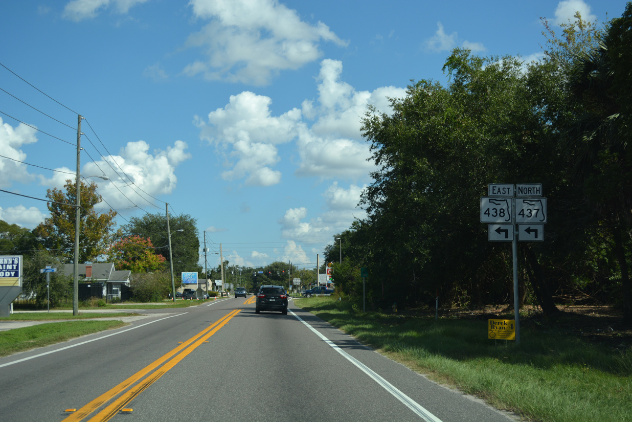
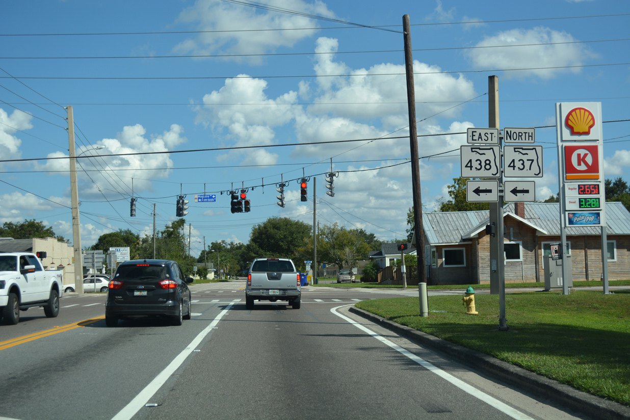
SR 438 (Franklin Street) east approaches the Ocoee city center and the northern turn onto Ocoee-Apopka Road (SR 437). Two blocks north from adjacent Silver Star Road, Ocoee-Apopka Road is CR 437. CR 437 extends north along the former alignment of SR 437 to Apopka.
10/20/18
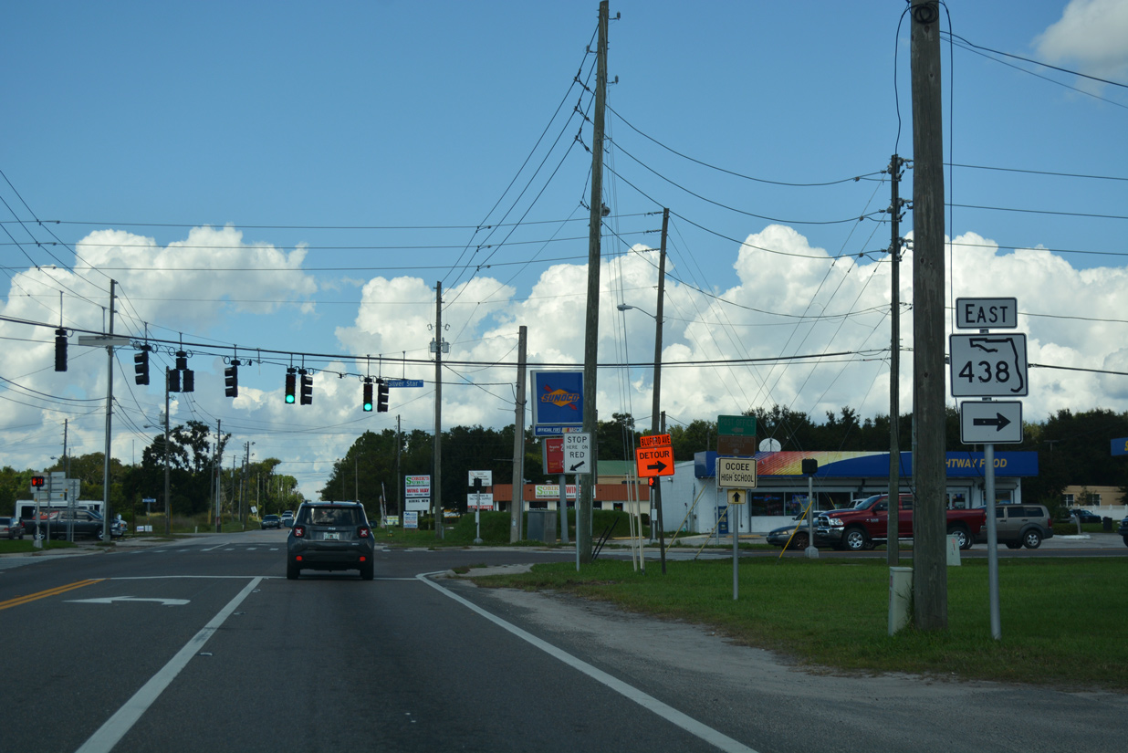
Franklin Street continues east from SR 437 & 438 as unsigned CR 439 to Taylor Street, and beyond there to Ocoee City Hall. CR 439 overlays Taylor and McKey Streets and Buford Avenue southeast to SR 50 and Old Winter Garden Road (CR 526).
10/20/18
 North East
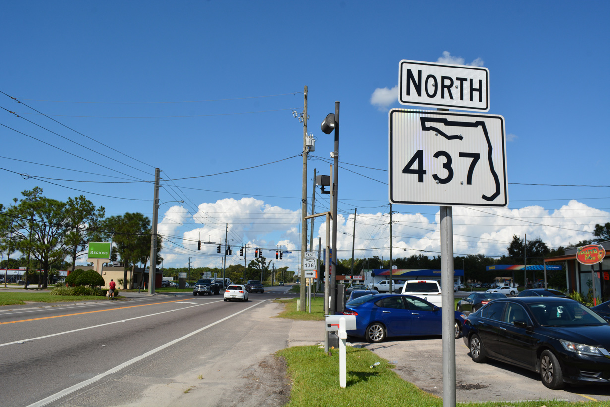
The 0.106 mile overlap with SR 437 is formally marked with a lone confirming marker standing along Ocoee Apopka Road at Lee Street.
10/20/18
SR 438 turns east from the SR 437 / CR 437 (Ocoee Apopka Road) onto Silver Star Road. Ocoee-Apopka Road continues north to Paradise Heights and central Apopka, paralleling the Western Beltway.
10/20/18
East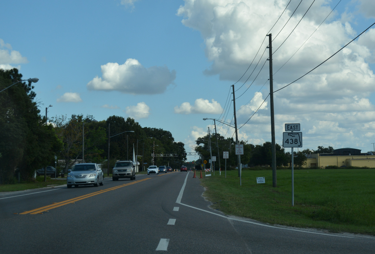
Silver Star Road passes north of Downtown Ocoee with two lanes en route to Starke Lake.
10/20/18
Silver Star Road straddles the north side of Lake Starke between Buford Avenue and 1st Street.
02/02/08
Beyond Starke Lake, SR 438 widens into a four lane arterial on the approach to Clarke Road.
02/02/08
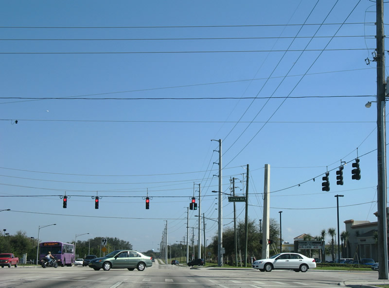
Clarke Road stems north from SR 50 (West Colonial Drive) and ramps with SR 408 (East-West Expressway) by West Oaks Mall to Clarcona-Ocoee Road in northeast Ocoee.
02/02/08
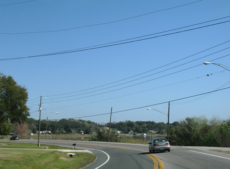
Continuing beyond Clarke Road, SR 438 (Silver Star Road) widens with a grassy median and passes south of Lake Johio.
02/02/08
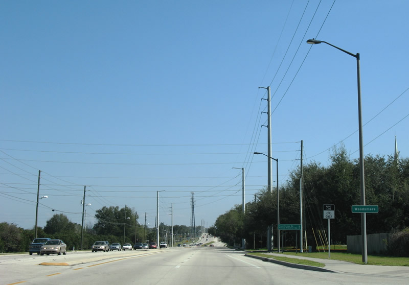
Woodsmere, an unincorporated community in Orange County, lies east of the Ocoee city line at Good Homes Road.
02/02/08
A set of span-wire supported traffic lights along SR 438 (Silver Star Road) east at Lake Stanley Roade. Lake Stanley Road represents the former alignment of North Apopka-Vineland Road (CR 435) before the highway was extended southward to SR 50 on a new four lane roadway to the east.
02/02/08
SR 438 (Silver Star Road) skims the northern reaches of Lake Lucy between Lake Stanley Road and North Apopka-Vineland Road.
02/02/08

Although sparsely signed, North Apopka-Vineland Road doubles as CR 435 north from SR 438 (Silver Star Road) to Clarcona Road and Apopka. North Apopka-Vineland Road south to SR 50 (Colonial Drive) near Lake Sherwood was built in 1995.
02/02/08
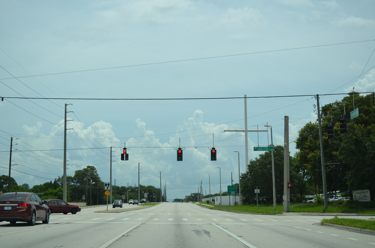
East of Apopka-Vineland Road, SR 438 (Silver Star Road) next meets Silver Ridge Drive north and Summer Glen Drive south to the Gatewood subdivision. Silver Ridge Drive, in conjunction with a few other residential streets, connects the Silver Ridge neighborhood with Hiawassee Road.
06/29/13

County Road 435 makes an implied overlap with SR 438 (Silver Star Road) east to connect with its branch along Hiawassee Road south. Hiawassee Road enters the busy intersection with Silver Star Road from Apopka and unincorporated Hiawassee of north Pine Hills.
06/29/13

Orange County Road 435 follows Hiawassee Road 1.75 miles south from SR 438 (Silver Star Road) to SR 50 (Colonial Drive).
10/02/08
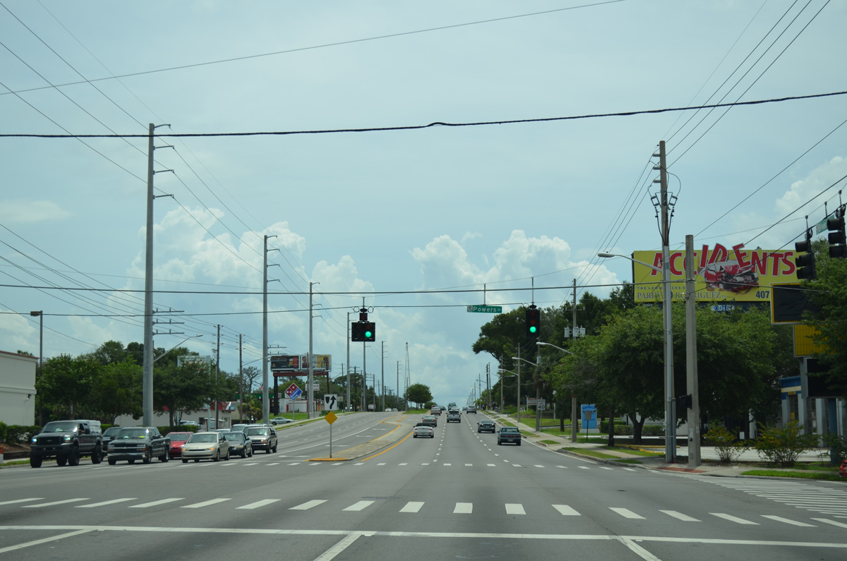
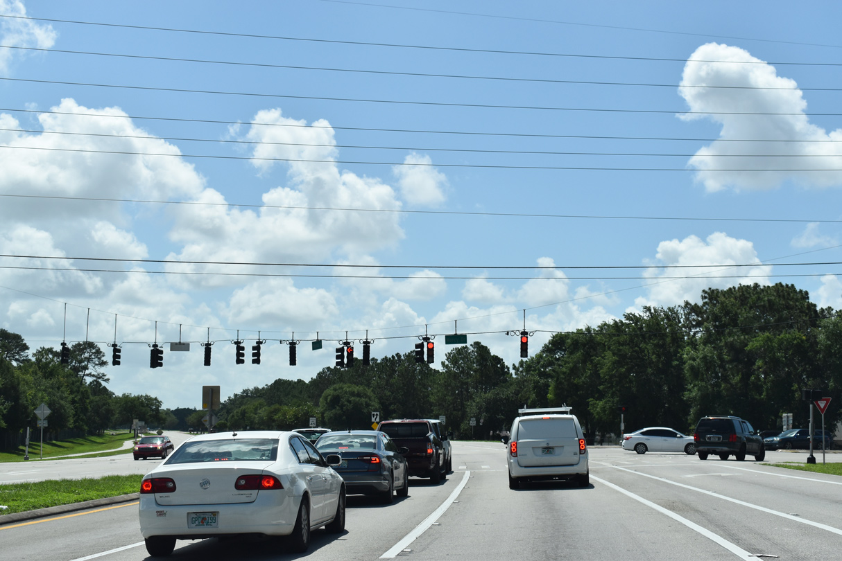
Advancing east with six overall lanes through Pine Hills, the succeeding signal on SR 438 (Silver Star Road) is with Powers Drive.
06/29/13
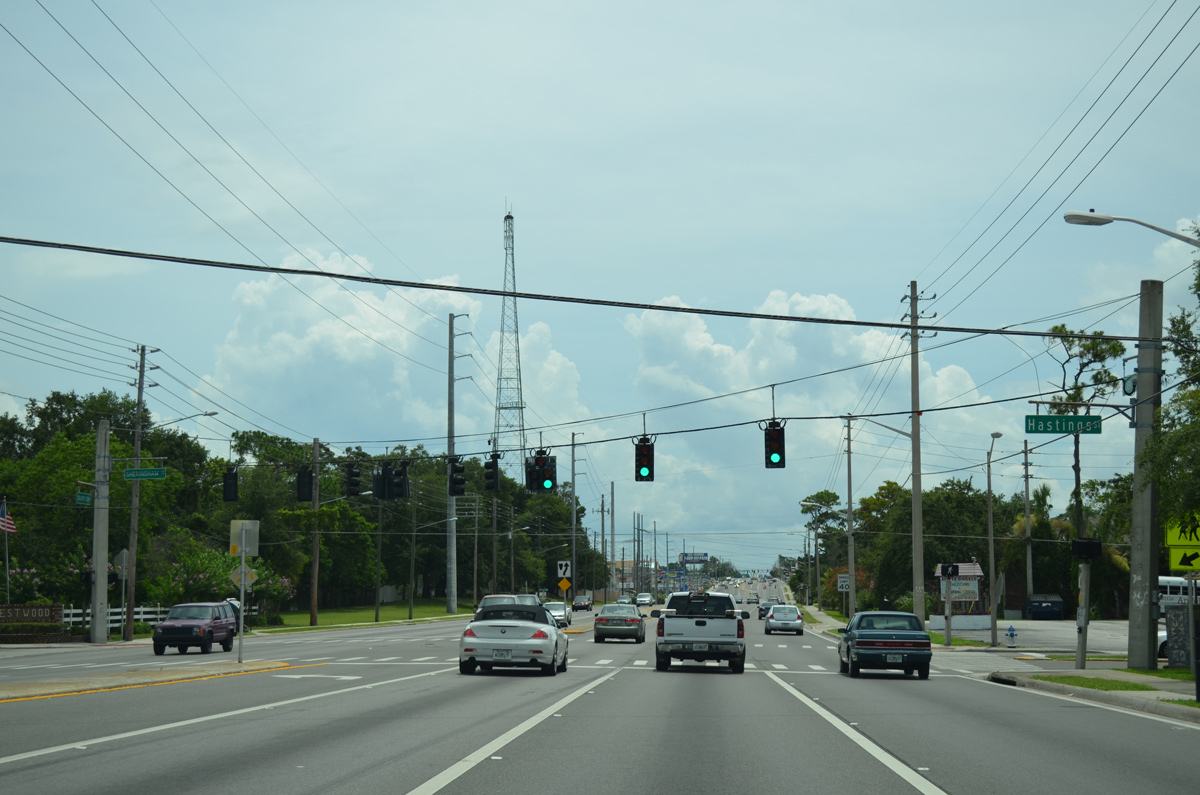
Hastings Street heads south from Silver Star Road through the Robinswood community to SR 50 (Colonial Drive) at Orange Heights.
06/29/13
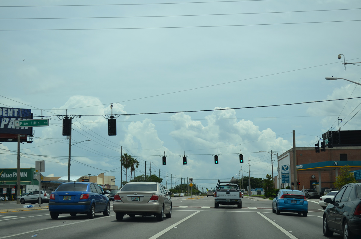
Pine Hills Road (unsigned CR 431) is a major arterial route traveling south to SR 408 (East-West Expressway) and Old Winter Garden Road (CR 526) at Orlo Vista and north to Beggs Road at Lockhart.
06/29/13
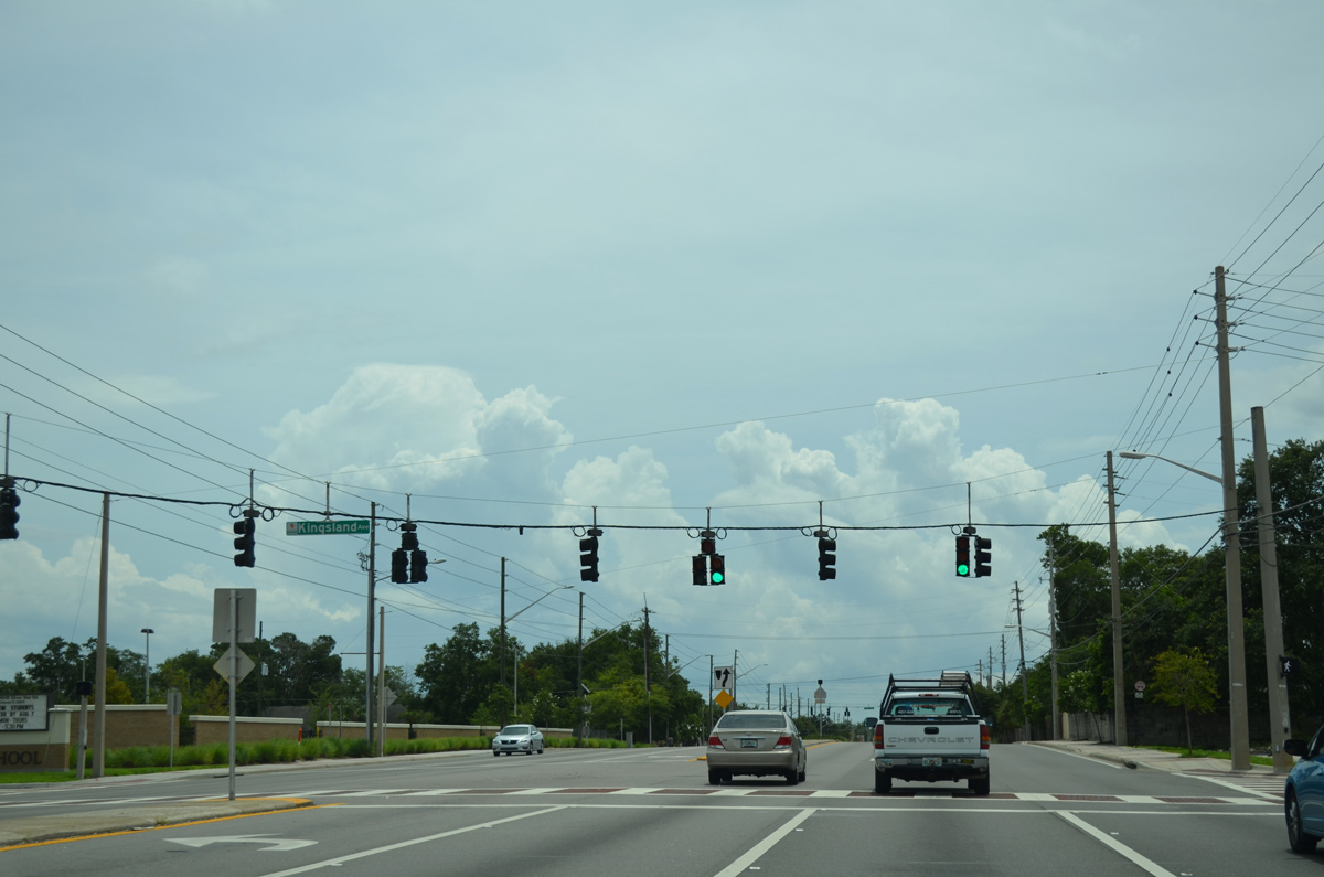
Kingsland Avenue intersects SR 438 at the ensuing signal east of CR 431 across from Evans High School. Kingsland Avenue is a residential street south into the Evans Village subdivision.
06/29/13
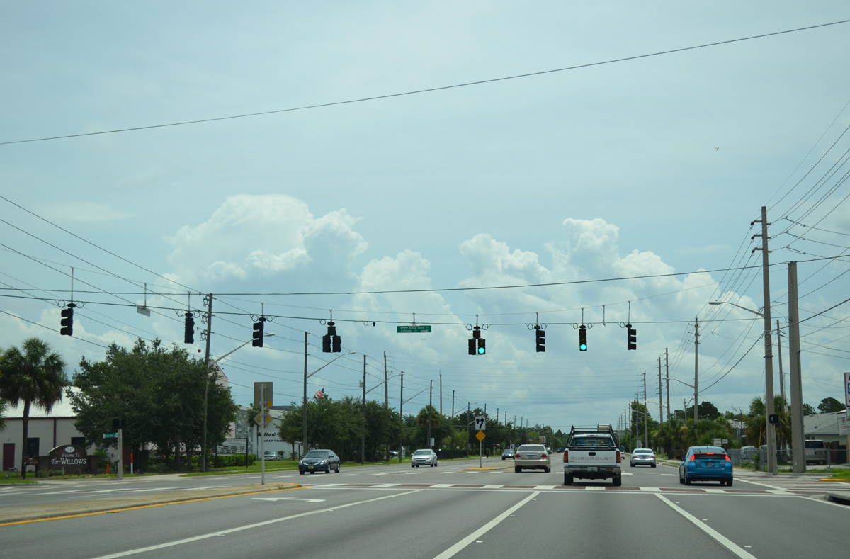
Ashland Boulevard north and Willow Bend Boulevard south come together at Silver Star Road from the Sylvan Hylands and Willows neighborhoods respectively.
06/29/13
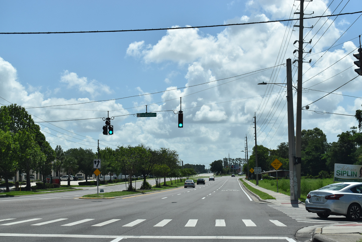
Dardanelle Drive connects SR 438 with the Normandy Shores subdivision to the south and the Orlando West commercial and industrial park to the north.
06/02/18
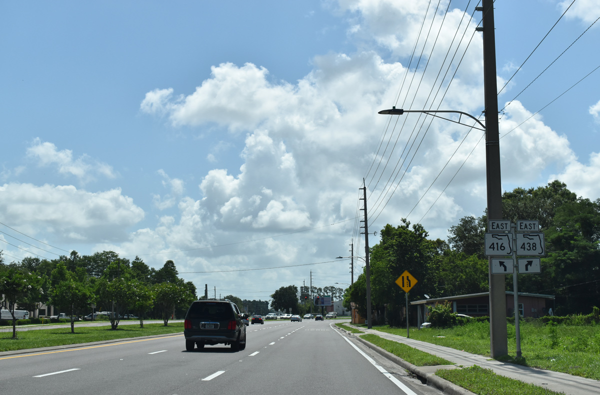
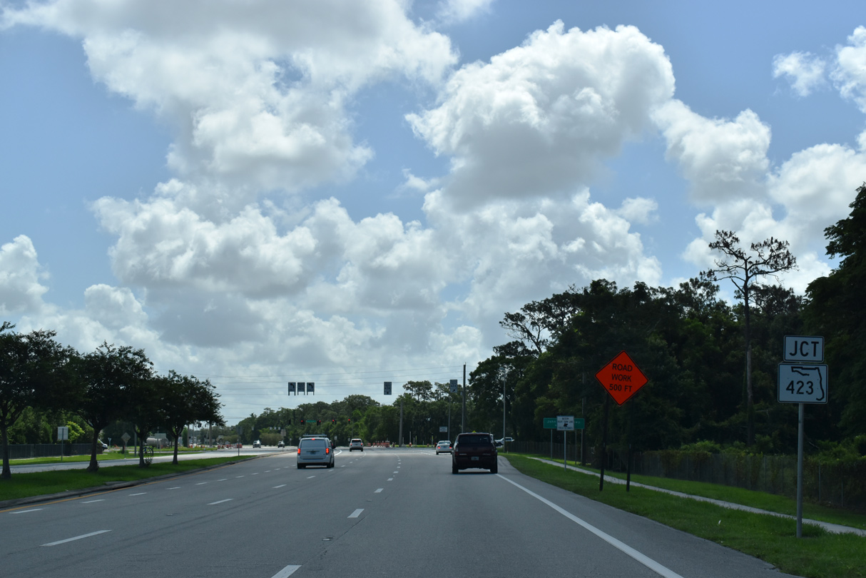
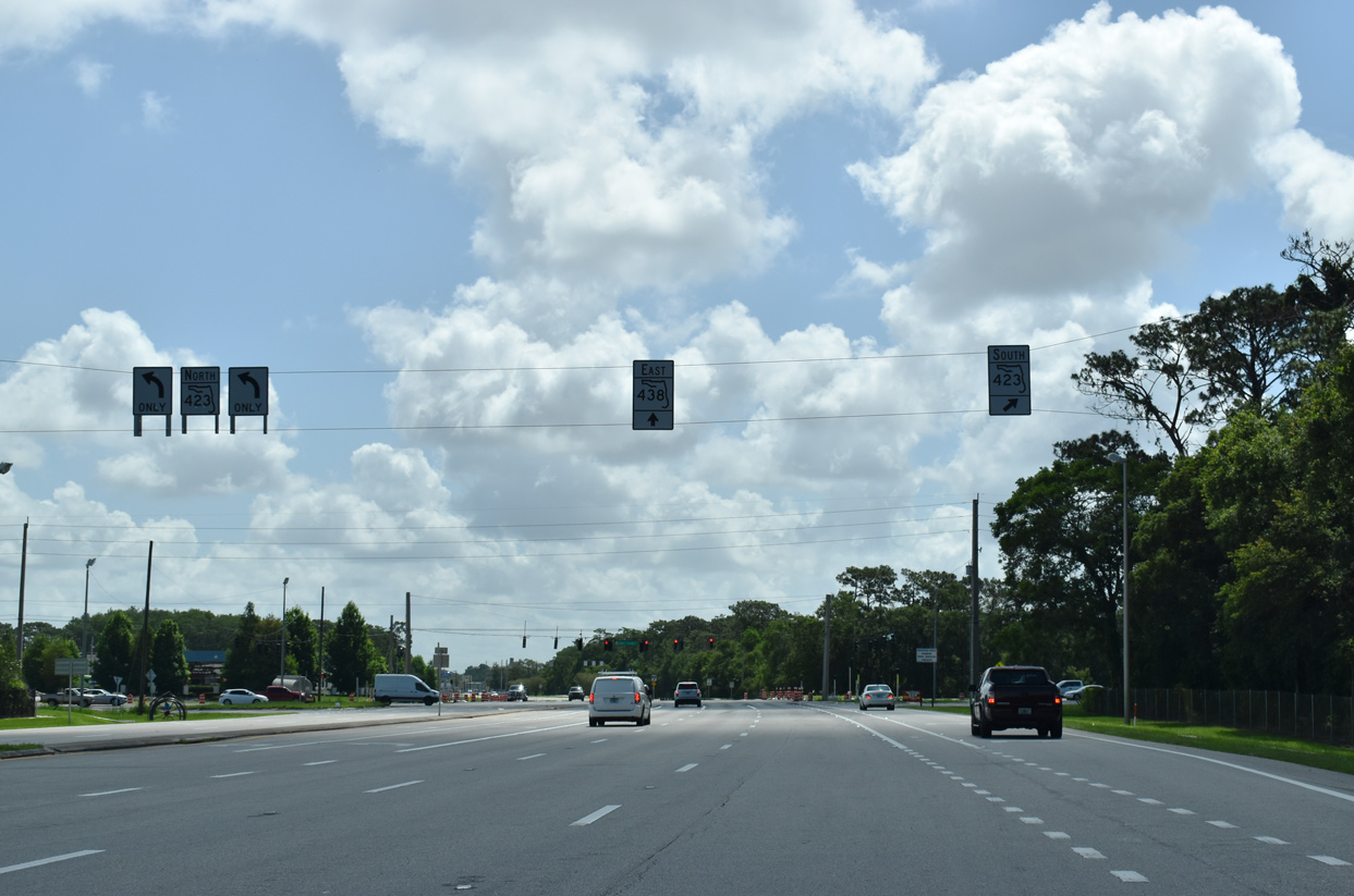
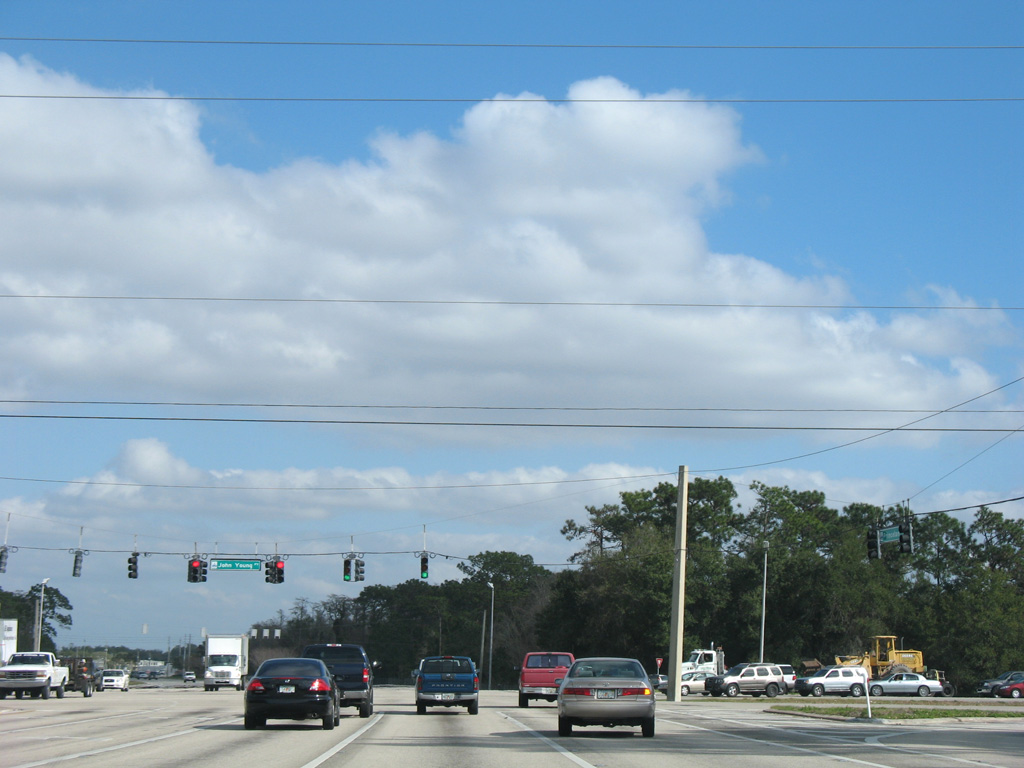
SR 438 splits with Silver Star Road southward through an S-curve to Princeton Street into Orlando. Silver Star Road (SR 416) extends east with two lanes through industrial areas to SR 423 (John Young Parkway).
06/02/18
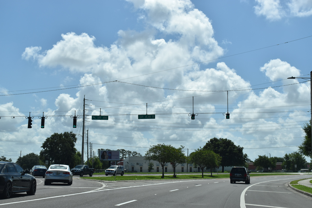
SR 416 travels 1.7 miles east from a wye intersection with SR 438 to U.S. 441 (Orange Blossom Trail) at Fairvilla.
06/02/18

SR 438 (Princeton Street) winds southward from SR 416 with four overall lanes to Mercy Drive.
06/02/18
Confirming markers stand along both sides of SR 438 (Princeton Street) beyond Mercy Drive.
06/02/18
John Young Parkway constitutes a major arterial route north to SR 434 (Forest City Road) and Lee Road east to Fairview Shores and south to Hunter's Creek and Kissimmee. The four lane highway is designated SR 423 south to SR 408 (East-West Expressway) and north to U.S. 441 (Orange Blossom Trail).
06/02/18
SR 423 forms a 7.4 mile arc from west Orlando to U.S. 17/92 (Orlando Avenue) in Winter Park.
06/02/18
The north and south roadways of John Young Parkway separate with a wide right of way reserved for an unconstructed interchange with SR 438 (Princeton Street).
01/25/08
SR 438 (Princeton Street) widens again to a six lane arterial east from SR 423 (John Young Parkway).
06/02/18
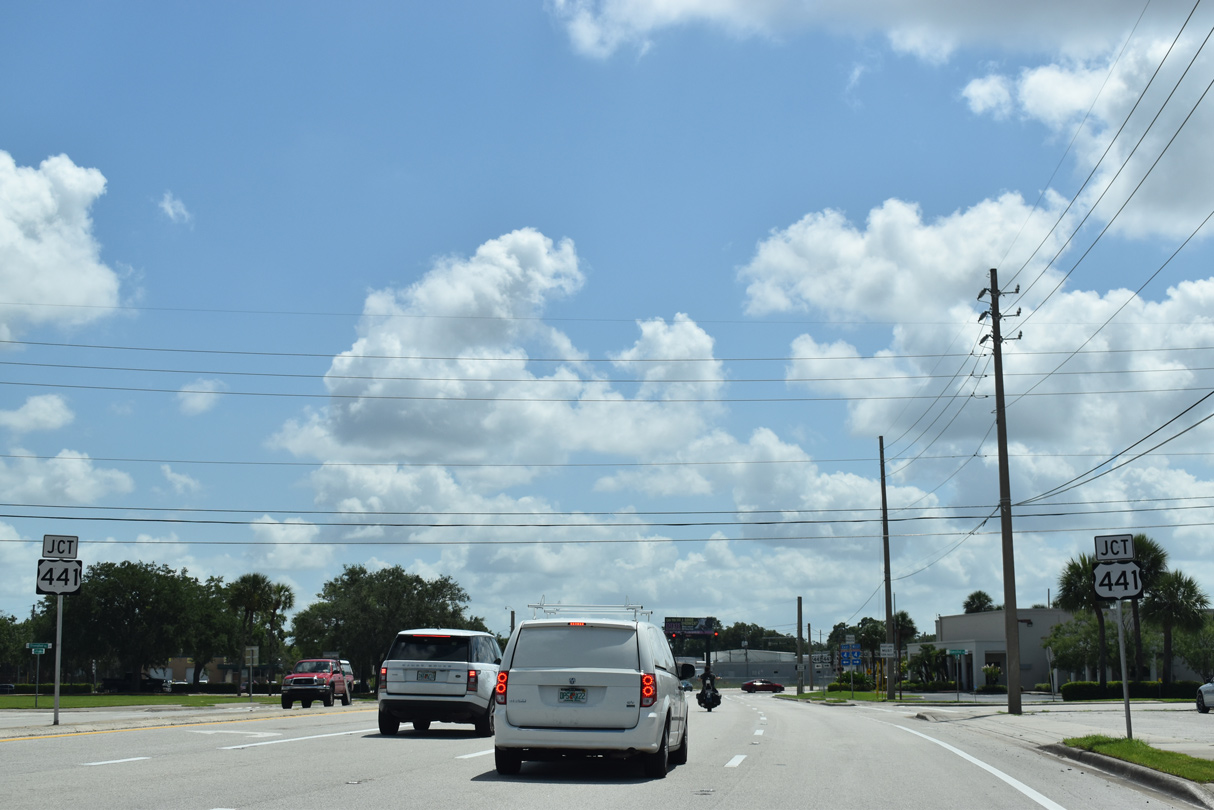
Princeton Street continues east through industrial park areas to intersect U.S. 441 (Orange Blossom Trail).
06/02/18
Princeton Street enters residential areas beyond Orange Blossom Trail (OBT). Truck traffic is directed south on OBT to SR 50 (Colonial Drive) and north to SR 423 (Lee Road).
06/02/18
U.S. 441 (OBT) travels south by College Park to Orlando west of Downtown en route to Kissimmee with U.S. 17/92. Northwest, U.S. 441 parallels the Florida Central Railroad line through an industrial corridor to Lockhart and Piedmont.
06/02/18
The last shield for SR 438 stands between OBT and the FCEN Railroad. Princeton Street partitions into a one way couplet with Smith Street just ahead.
06/02/18
Princeton Street east at Rio Grande Avenue and the east end of SR 438.
06/02/18

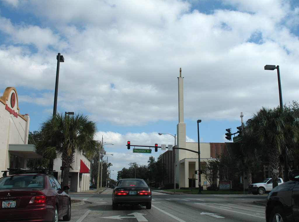
Princeton Street (unsigned CR 438) travels through residential areas of the College Park neighborhood to Edgewater Drive (CR 424). The eastbound street intersects Westmoreland Drive at a traffic light.
01/25/08
Edgewater Drive runs north-south through the College Park business district. The urban boulevard extends south from SR 424 and Par Street as unsigned CR 424 to Lake Adair.
01/25/08
Photo Credits:
- Alex Nitzman: 01/25/08, 02/02/08, 10/20/18
- ABRoads: 10/02/08, 06/29/13, 06/02/18
Connect with:
Page Updated Wednesday October 24, 2018.