
State Road 438 / County Road 438 - West


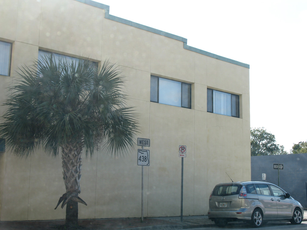
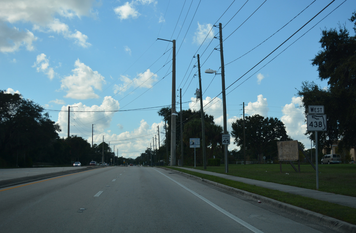
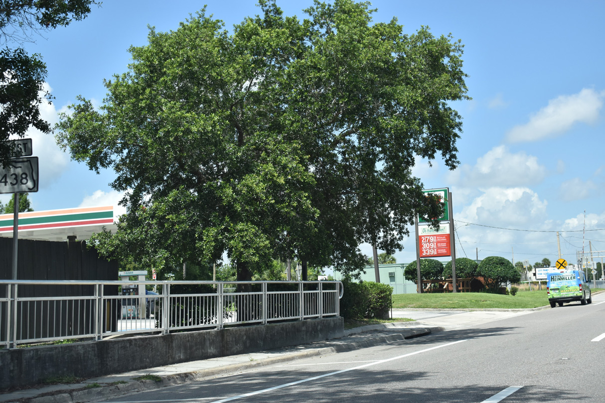
This reassurance marker for SR 438 appeared along Smith Street just west of Edgewater Drive (CR 424) until 2009.
01/25/08
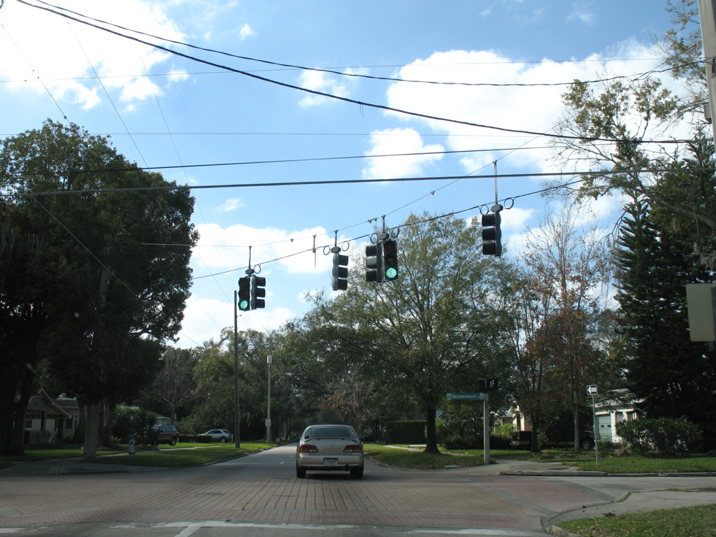
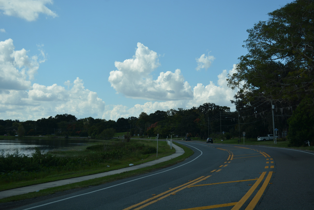
Smith Street west at Westmoreland Drive in the College Park community of Orlando.
01/25/08
 West
West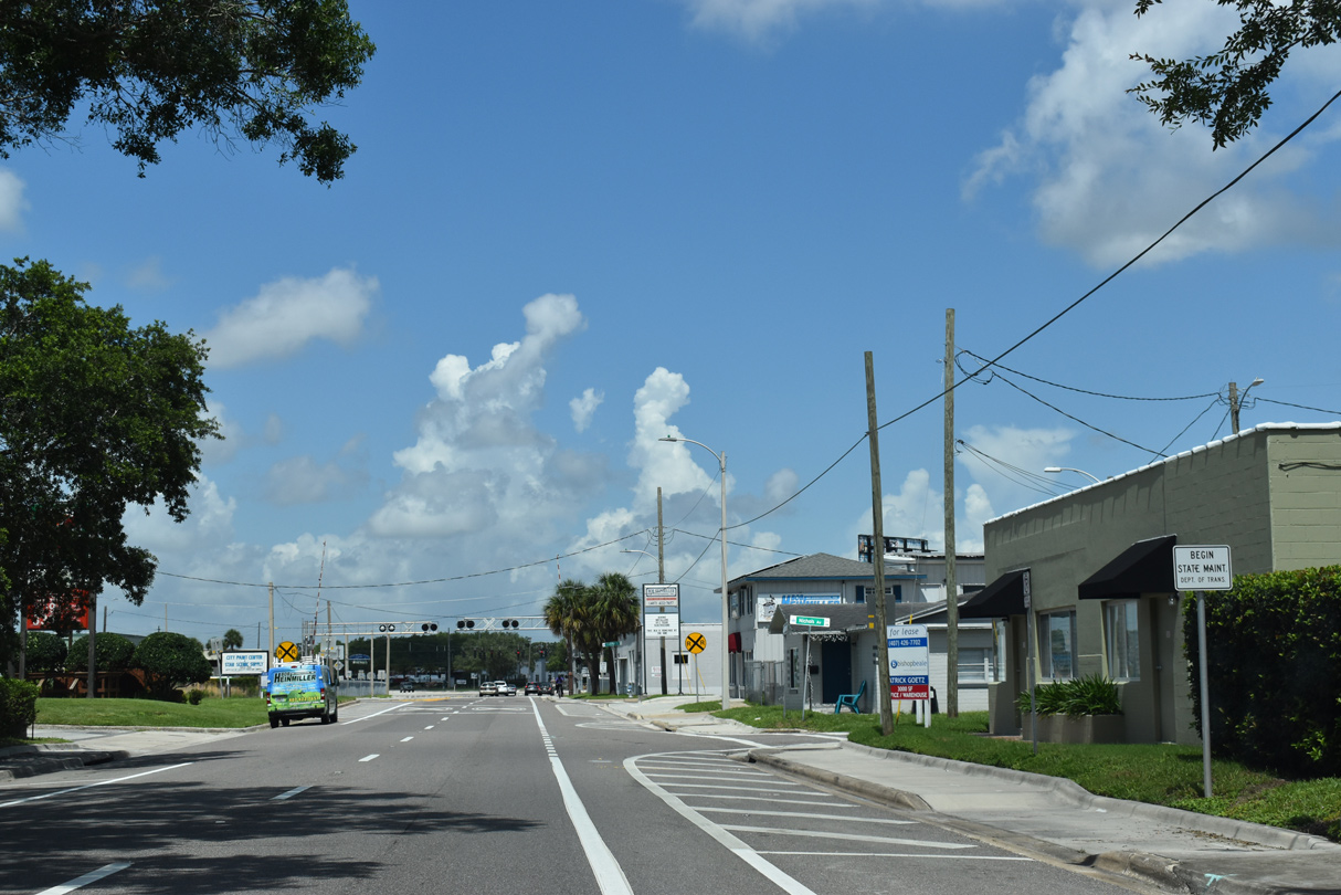
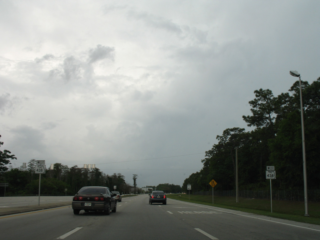
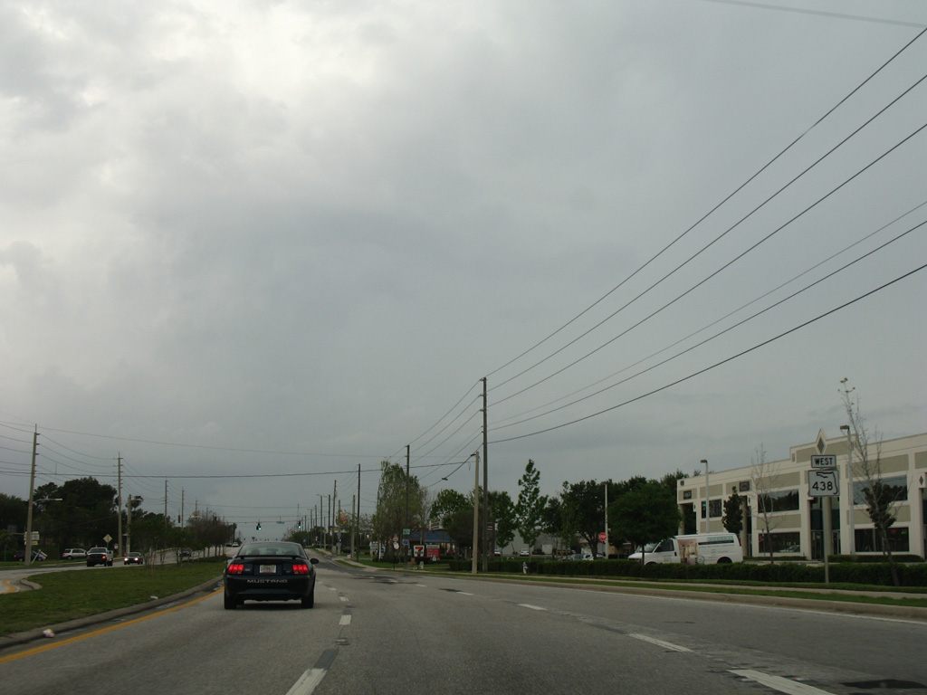
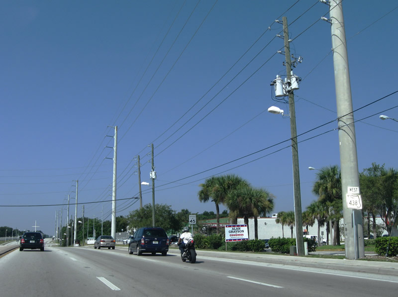
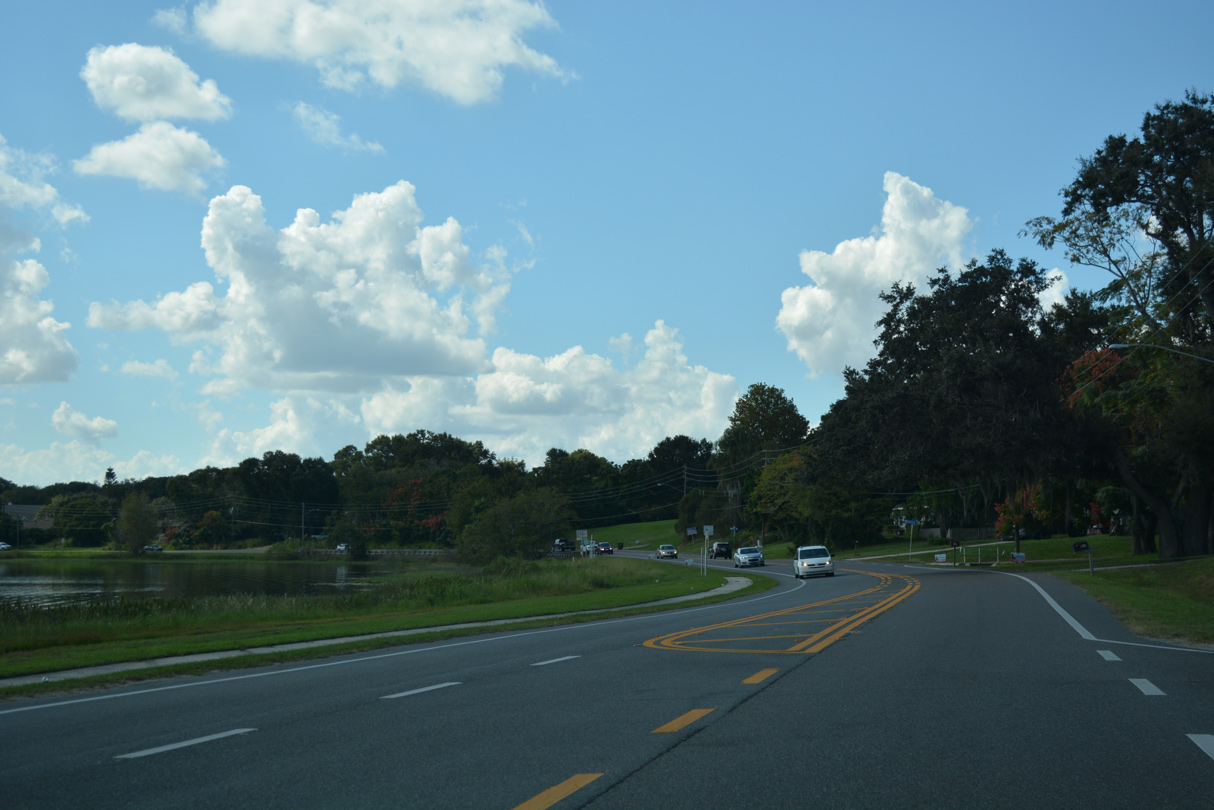
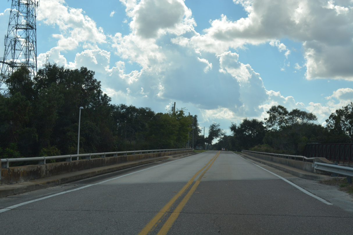
Smith Street (CR 438) exits the College Park neighborhood of Orlando beyond Rio Grande Avenue. State maintenance (SR 438) takes over as the couplet of Smith and Princeton Streets combine ahead of U.S. 441.
06/02/18
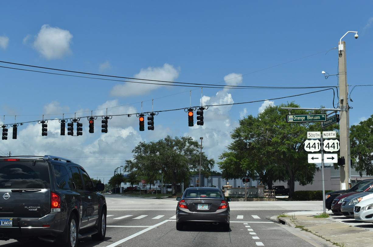
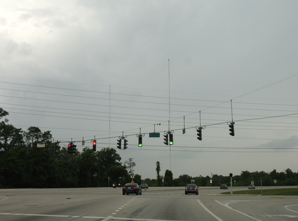
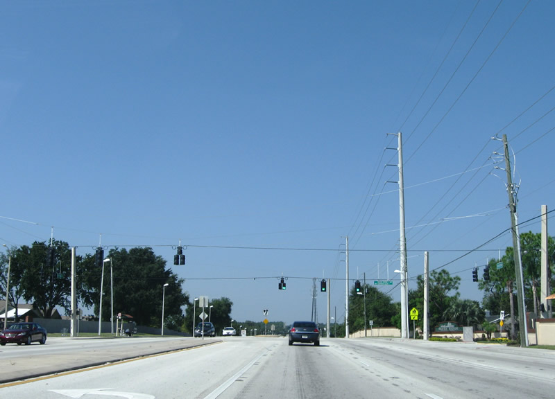
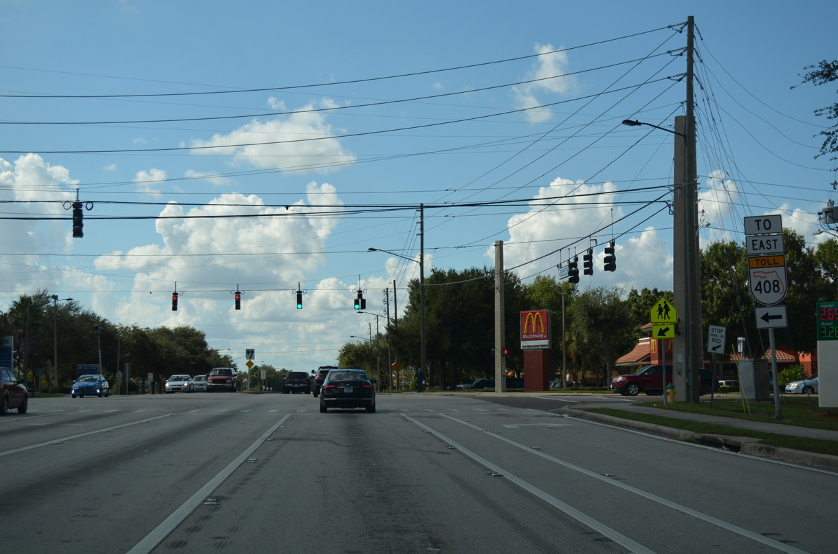
Orange Blossom Trail leads U.S. 441 northwest through unincorporated Fairvilla to Lake Fairview Park and Apopka. U.S. 441 south combines with U.S. 17/92 at West Colonial Drive (SR 50) in Orlando.
06/02/18
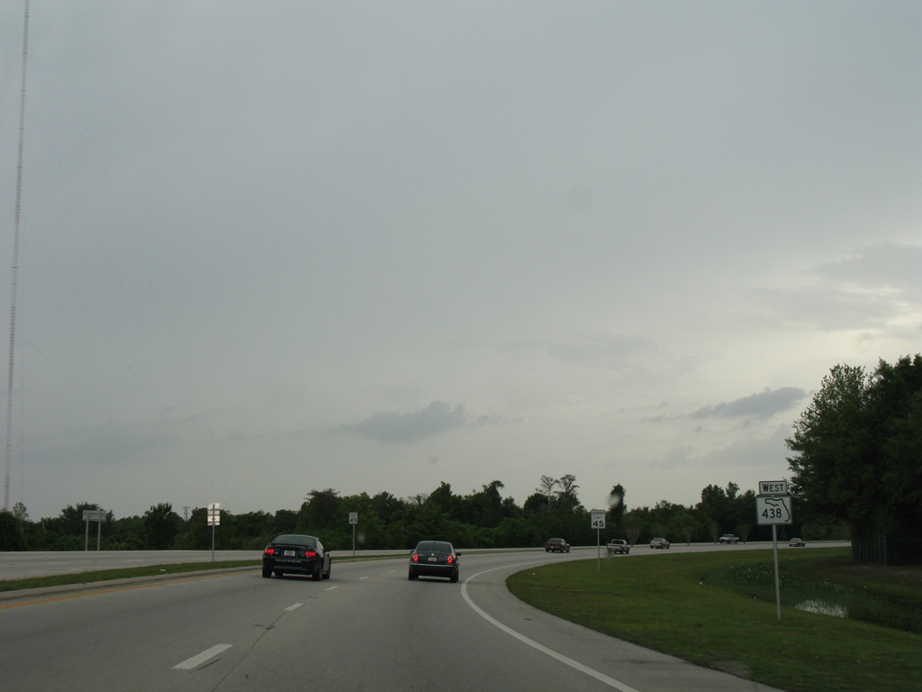
SR 438 (Princeton Street) advances west from SR 423 (John Young Parkway) with four lanes to a number of business parks.
04/05/08
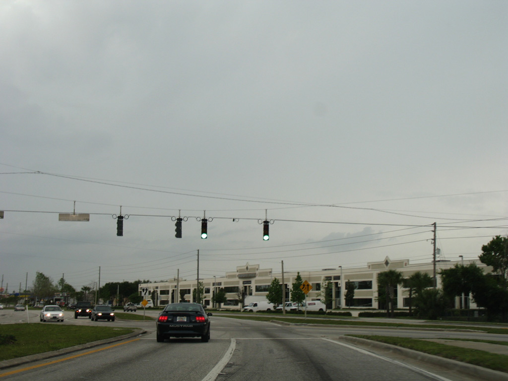
Mercy Drive intersects SR 438 (Princeton Street) north from the Lawne Lake area in Orlando and south from SR 416 (Silver Star Road) and the Center of Commerce at Orlando industrial park.
04/05/08
Princeton Street turns north through an S-curve to the merge with Silver Star Road.
04/05/08
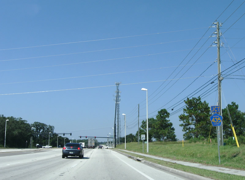
SR 416 lines Silver Star Road west from U.S. 441 (Orange Blossom Trail) to end at a wye intersection with SR 438.
04/05/08
SR 438 overtakes Silver Star Road west from SR 416. The arterial expands to six overall lanes.
04/05/08
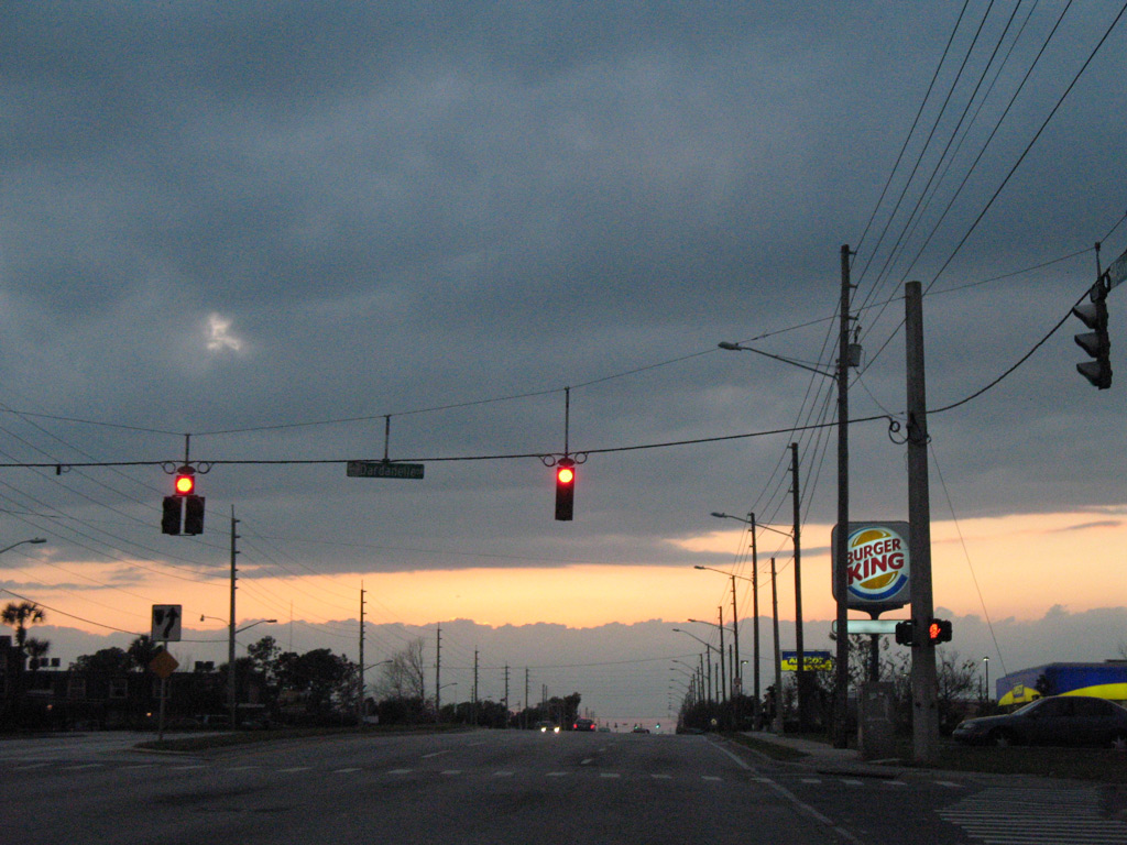
Silver Star Road runs west along the Orlando city line between Orlando West commercial and business park and the Normandy Shores subdivisions at Dardanelle Drive.
03/12/08
Ashland Boulevard spurs south from SR 438 into the Sylvan Hylands subdivision opposite Willow Bend Boulevard north into the Willows neighborhood of Orlando.
03/12/08
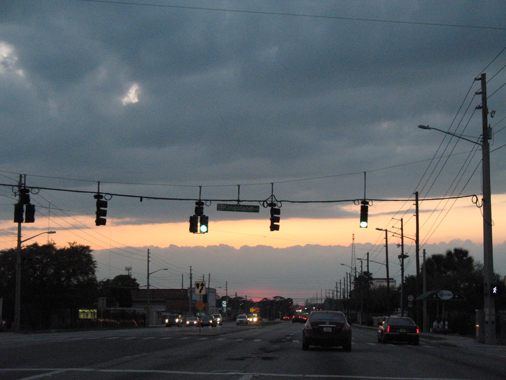
Leaving the Orlando city limits, SR 438 west intersects Kingsland Avenue south to the Evans Village subdivision at Evans High School.
03/12/08
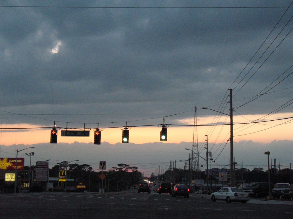
Pine Hills Road (unsigned CR 431) represents one of two major arterial through unincorporated Pine Hills. CR 431 travels south to Old Winter Garden Road (CR 526) at Fleming Heights and north to Beggs Road at Lockhart.
03/12/08
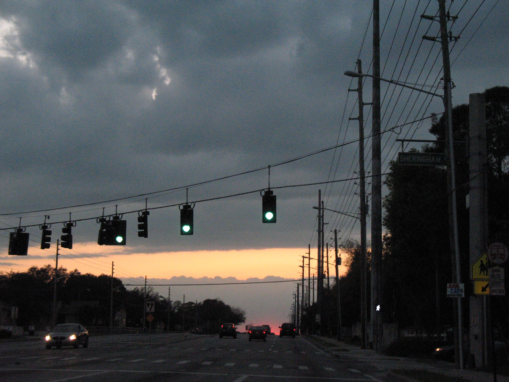
The succeeding signal westbound operates at Hastings Street south to the Robinswood community and SR 50 (Colonial Drive) and Sheringham Road north into the Westwood Heights subdivision.
03/12/08
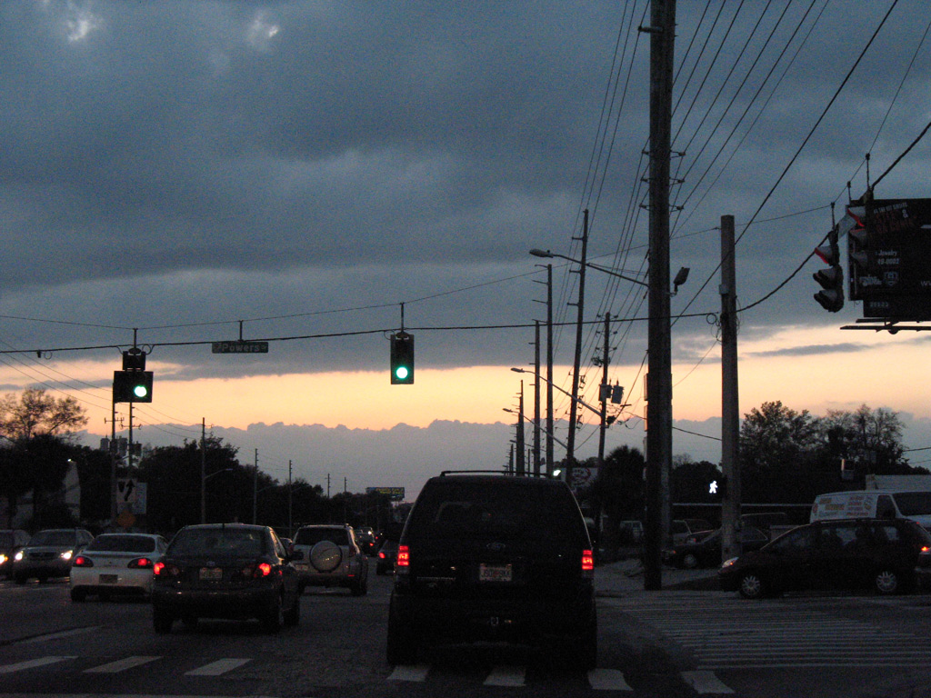
Powers Drive is a through road leading north to Clarcona Ocoee Road and south to Orlo Vista and Old Winter Garden Road (CR 526).
03/12/08
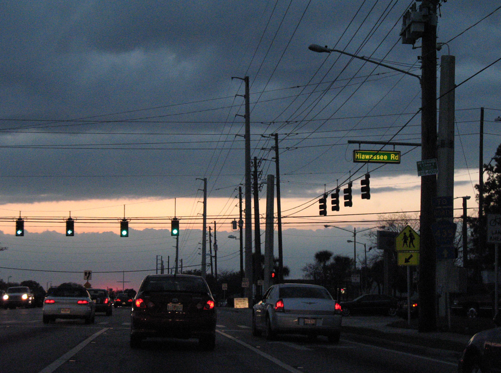
Hiawassee Road meets SR 438 (Silver Star Road) at the ensuing signal west in Pine Hills. CR 435 follows Hiawassee Road south to SR 50 (Colonial Drive). The arterial extends north to Hiawassee and Apopka as an unnumbered road.
03/12/08
West of Hiawassee Road (Orange County Road 435 south), SR 438 (Silver Star Road) leaves the commercial area of Pine Hills.
10/02/08
Silver Ridge Drive and Summer Glen Drive intersect SR 438 at the next traffic light. Silver Ridge Drive is the main entrance to adjacent Silver Ridge, with connections to Hiawassee Road from the next subdivision.
10/02/08
Orange County Road 435 resumes its northward course from SR 438 (Silver Star Road) west along North Apopka-Vineland Road. The route between Woodsmere and Apopka (U.S. 441) is unmarked.
10/02/08

Advancing west from North Apopka-Vineland Road, SR 438 (Silver Star Road) intersects Lake Stanley Road north. Lake Stanley Road is the former two lane alignment of CR 435 north.
10/20/18
SR 438 westbound reduces to two lanes after Lake Stanley Road and continues through unincorporated Woodsmere.
10/20/18
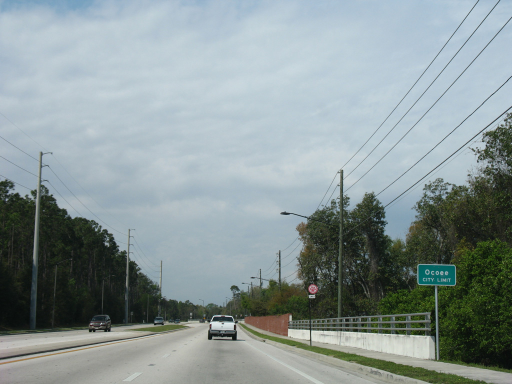
Silver Star Road west reaches the Ocoee city limits just ahead of Coventry Lane to the south of Lake Stanley.
03/14/08
Clarke Road travels north through east Ocoee to Prairie Lake and Clarcona Ocoee Road from SR 50 and ramps to SR 408 (East-West Expressway) at West Oaks Mall.
10/20/18
A lane drop occurs at Silver Crest Boulevard and the Silver Glen Village community just west of Clarke Road. A reassurance marker follows.
10/20/18
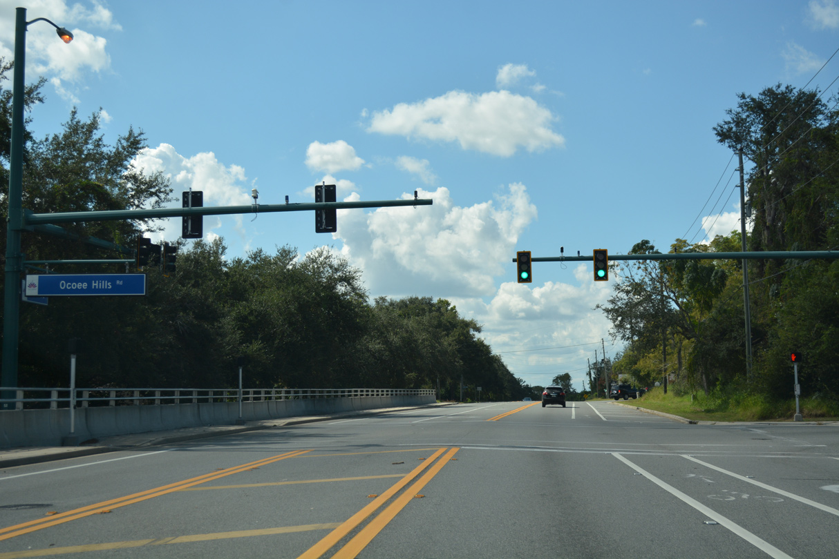
SR 438 was expanded in 2014 with bike lanes, a sidewalk and turn lanes at Ocoee Hills Road north. Traffic lights were added during the project.
10/20/18
SR 438 runs along the north shore of Lake Starke by residential areas northeast of the Ocoee city center.
10/20/18
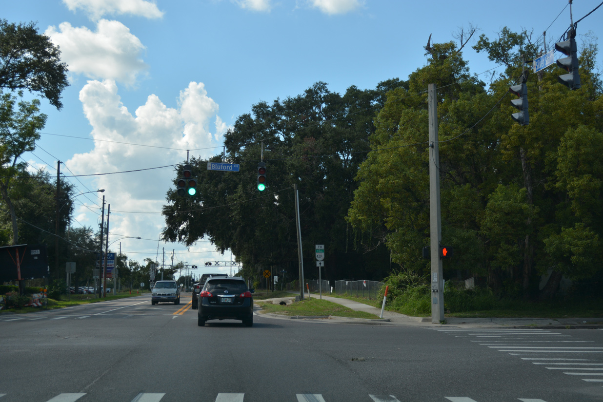
Bluford Avenue stems south from Rewis Street to meet SR 438 at a traffic light just north of the Ocoee Municipal Complex. Further south, Bluford Road is part of unsigned CR 439 to SR 50 (Colonial Drive).
10/20/18
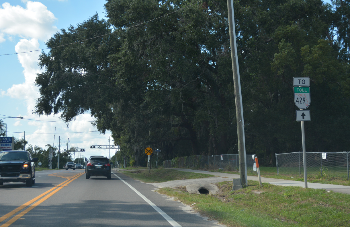
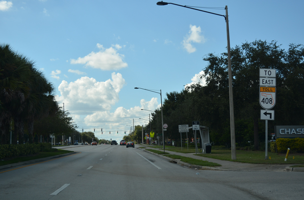
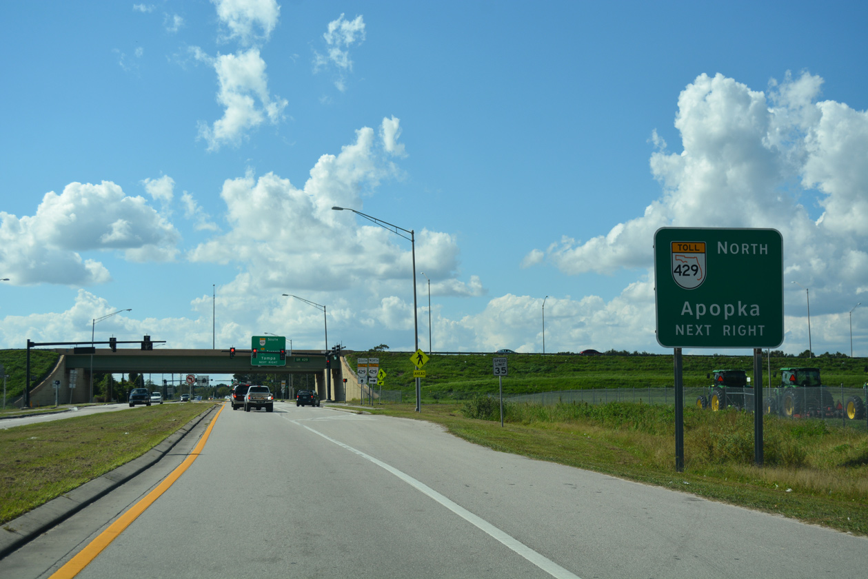
An SR 429 trailblazer directs motorists along SR 438 west from Bluford Avenue. The two state roads converge in less than a mile.
10/20/18
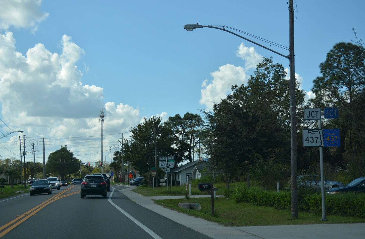
Silver Star Road west concludes at a signalized intersection with Ocoee Apopka Road (CR 437 north / SR 437 south).
10/20/18
A 0.106 mile segment of Ocoee Apopka Road remains designated as SR 437. The remainder of the route north to Paradise Heights and Apopka is county maintained.
10/20/18
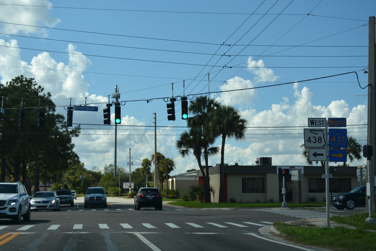
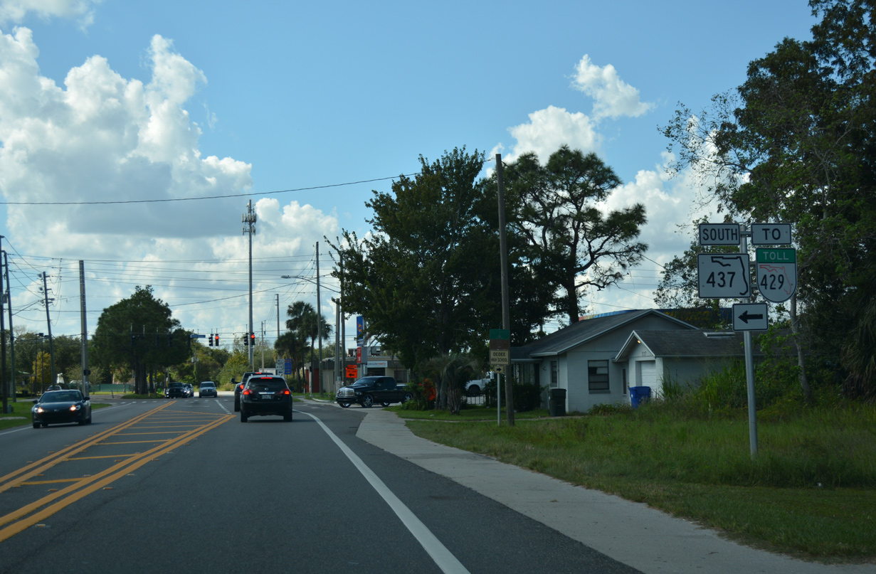
SR 438 dog legs south alongside SR 437 between Silver Star Road and Franklin Street. A mostly unmarked route, CR 437 travels 9.8 miles north to U.S. 441 (Orange Blossom Trail) at Plymouth.
10/20/18
 North West
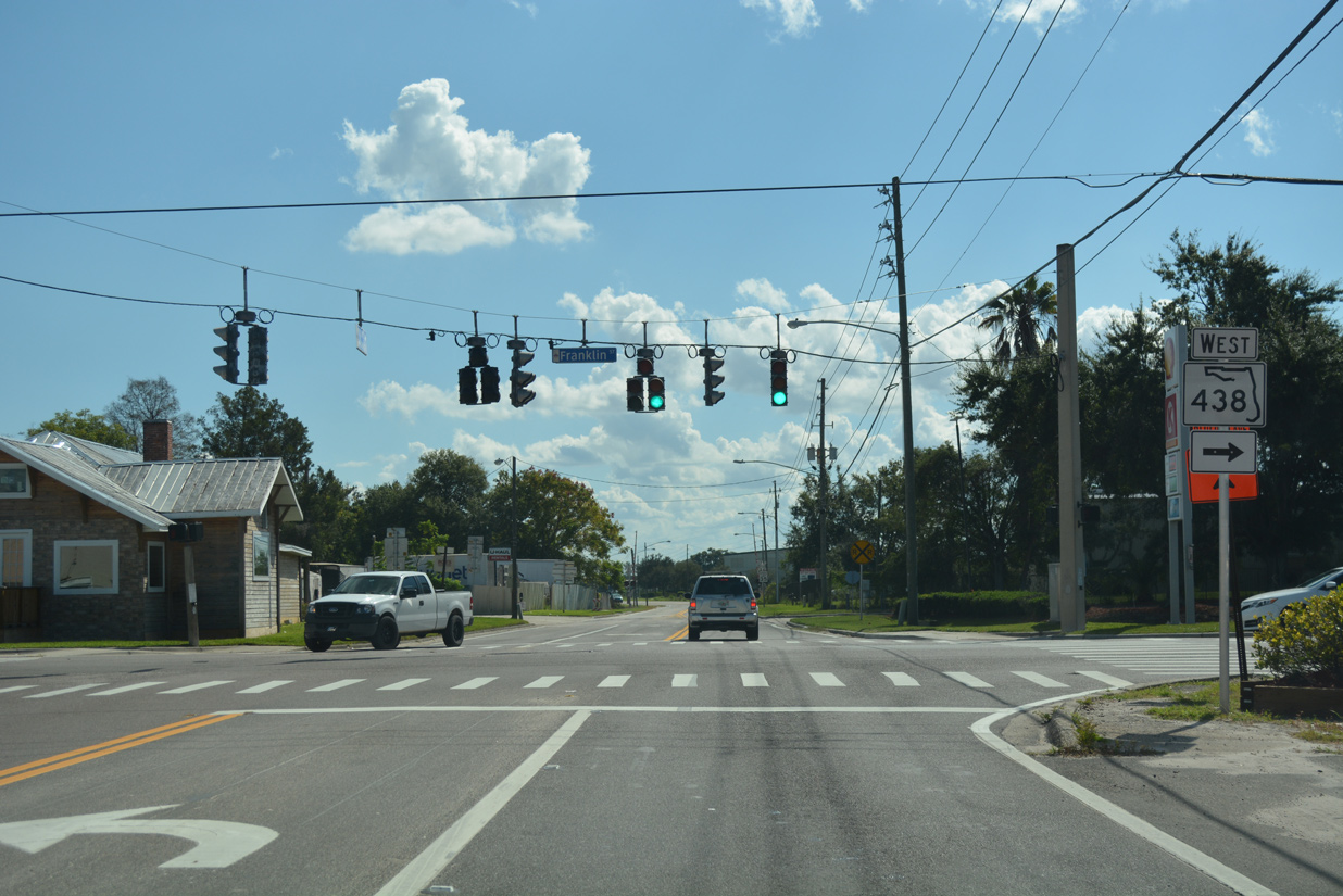
SR 438 turns west along Franklin Street to SR 429 (Western Beltway) as SR 437 ends. Maguire Road and former CR 439 (Franklin / Taylor Streets) branch southward from here to SR 50 (Colonial Drive).
10/20/18
West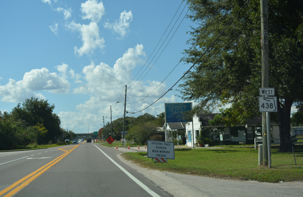
SR 438 (Franklin Street) joins the Ocoee city center with Plant Street west into Winter Garden.
10/20/18
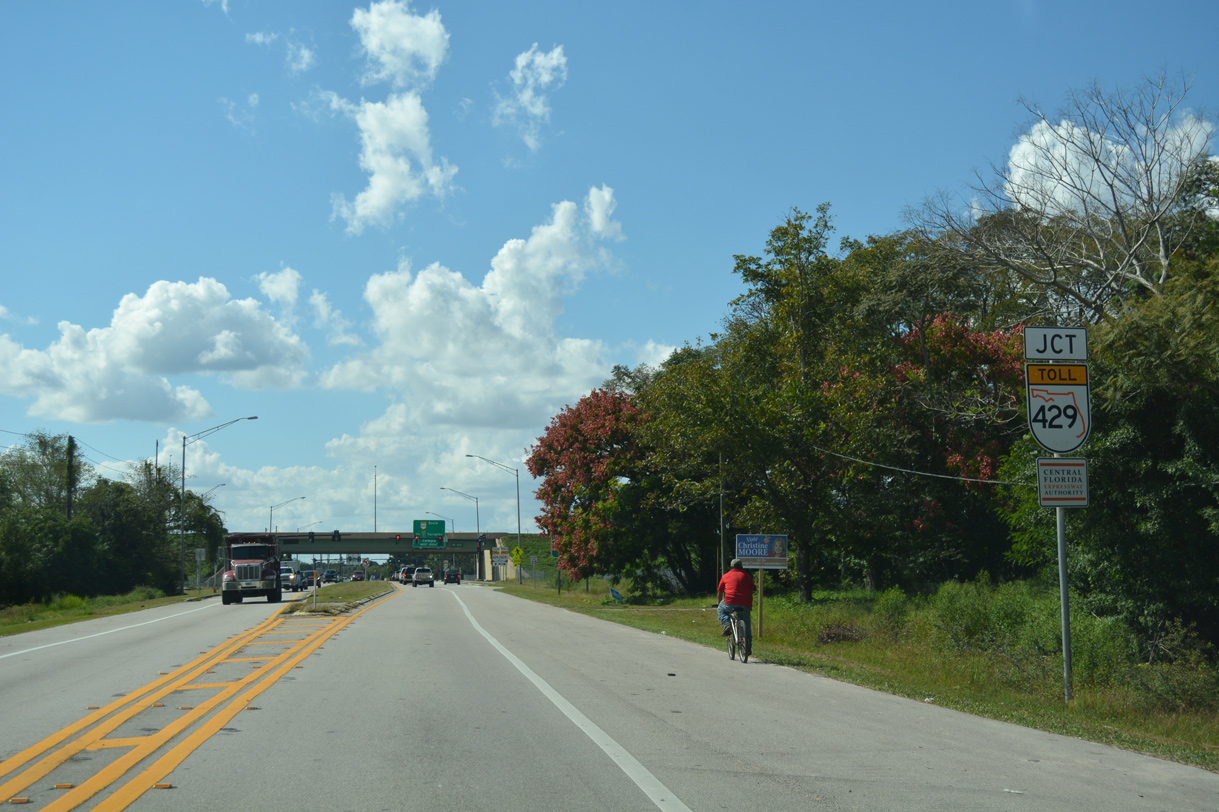
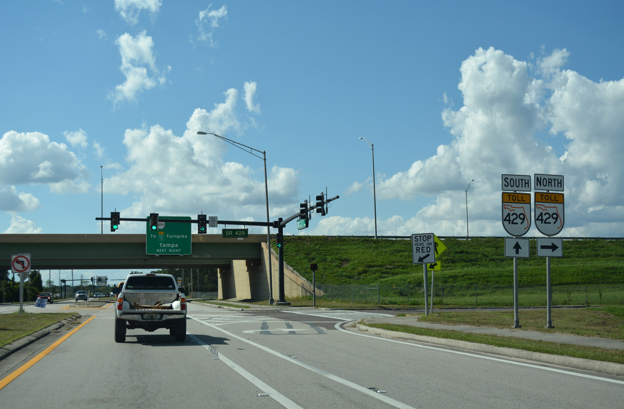
A parclo interchange connects Franklin Street with SR 429 (Daniel Webster Western Beltway) just east of the Winter Garden city line.
10/20/18
The Western Beltway leads motorists nine miles northward to U.S. 441 (OBT) near Downtown Apopka.
10/20/18
SR 429 extends north from Apopka along the tolled Wekiva Parkway to Mt. Plymouth in Lake County.
10/20/18
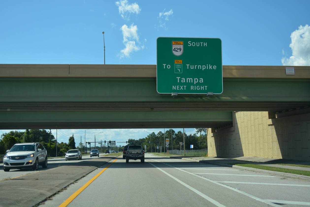
A loop ramp links the west end of SR 438 (Franklin Street) with SR 429 south to Florida's Turnpike.
10/20/18
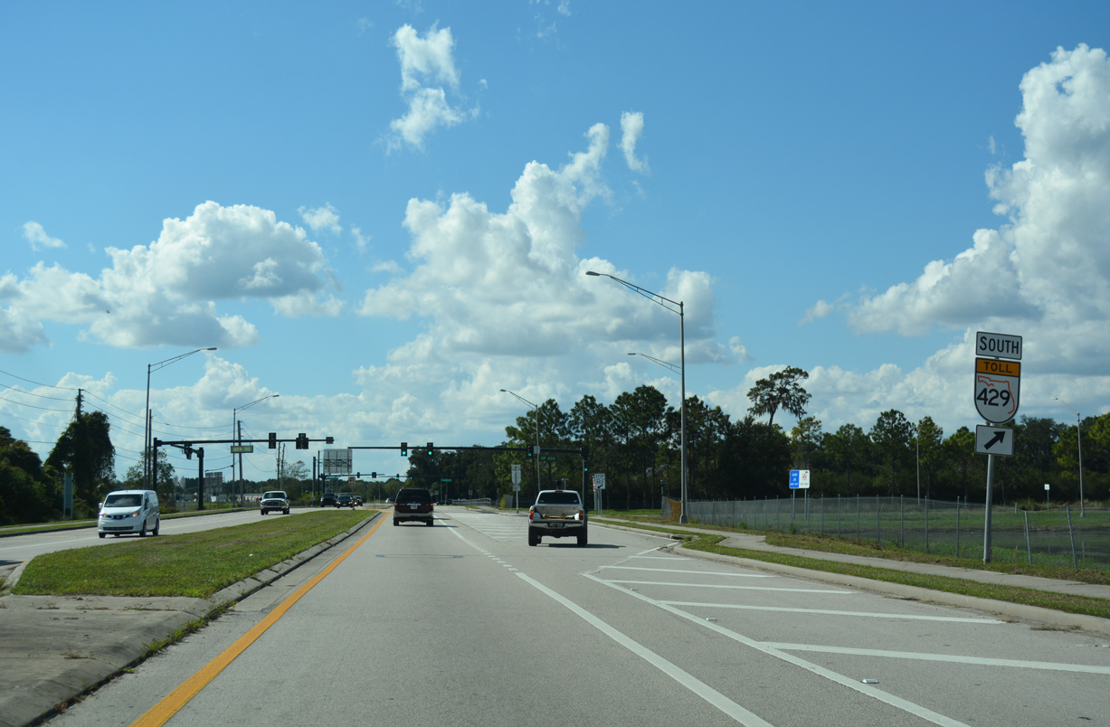
SR 429 travels 23.7 miles south from SR 438 to merge with I-4 west in Osceola County.
10/20/18
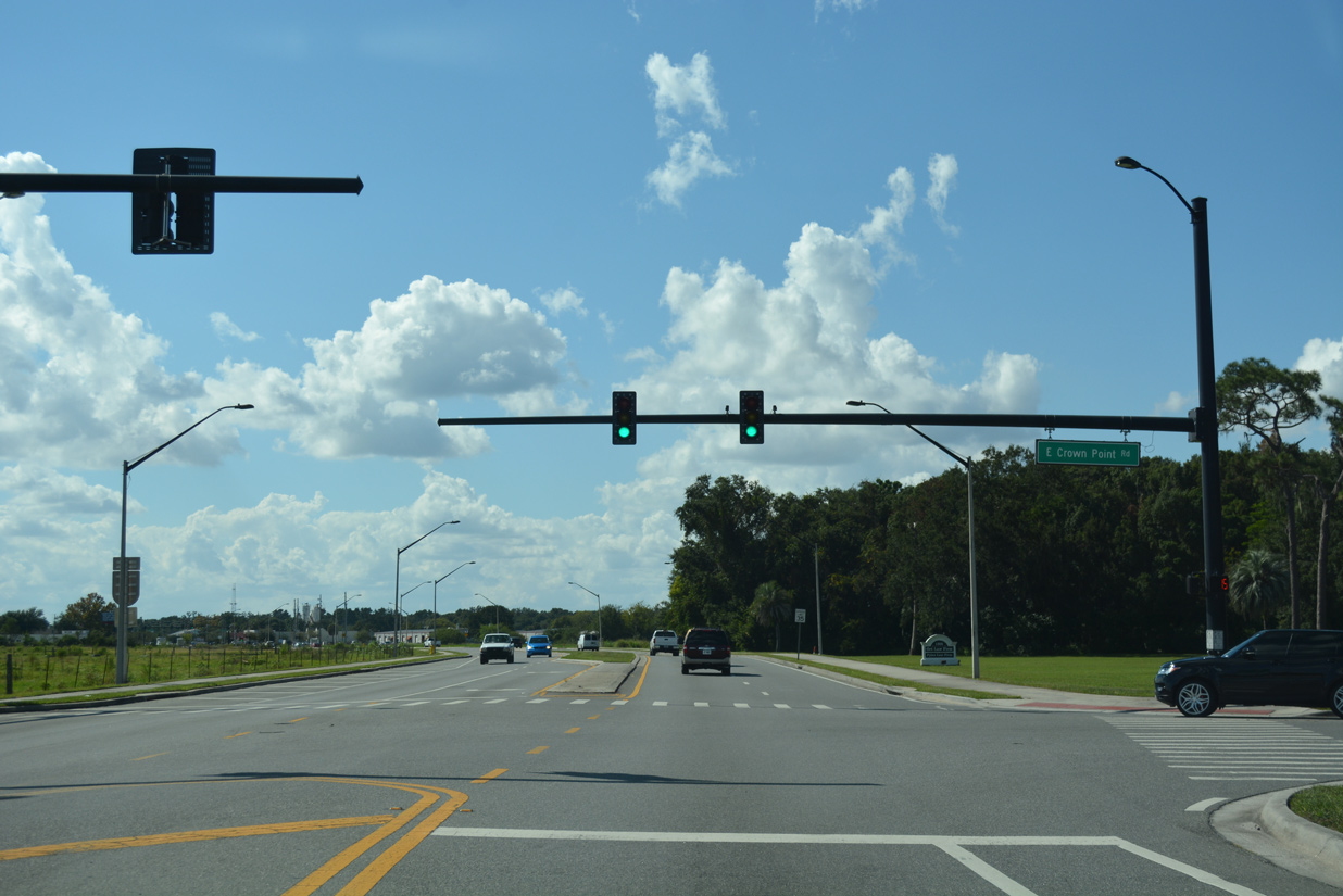
SR 438 (Plant Street) ends at Crown Point Road to the immediate west of SR 429. 2011 widening of Plant Street west into the city of Winter Garden from two to four lanes included the addition of mast arm supported traffic lights at Crown Point Road north.
10/20/18
West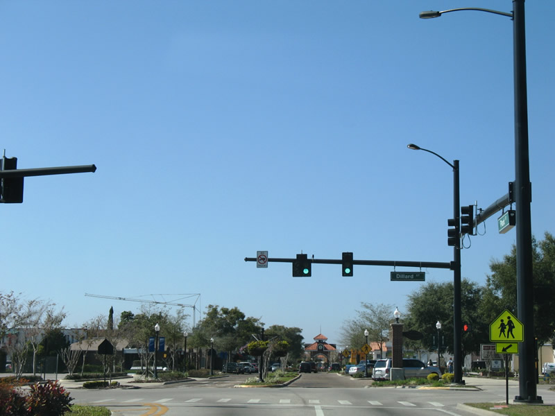
SR 438 previously extended west along Plant Street across Winter Garden. Pictured here is the Plant Street intersection with Dillard Street (former SR 537) at historic Downtown. SR 537 was a short state road linking Plant Street with SR 50 (Colonial Drive).
02/02/08
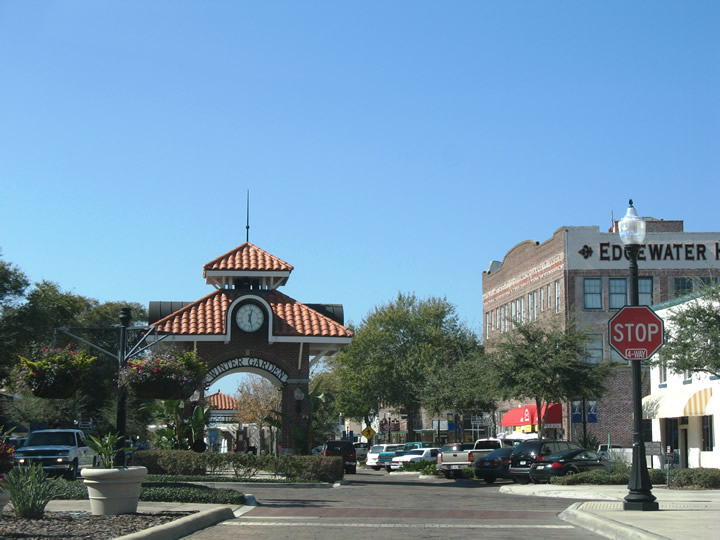
Plant Street transitions into a divided brick street through Downtown Winter Garden. West Orange Trail parallels Plant Street along the former railroad corridor west from the city center.
02/02/08
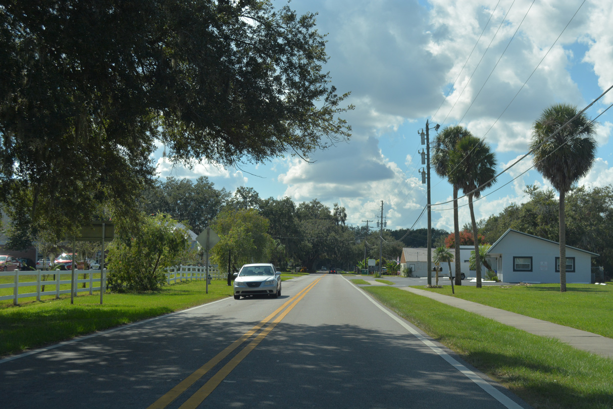
Leading west from the Winter Garden historic district, CR 438 is unsigned along Plant Street. This scene looks west of Park Avenue.
10/20/18
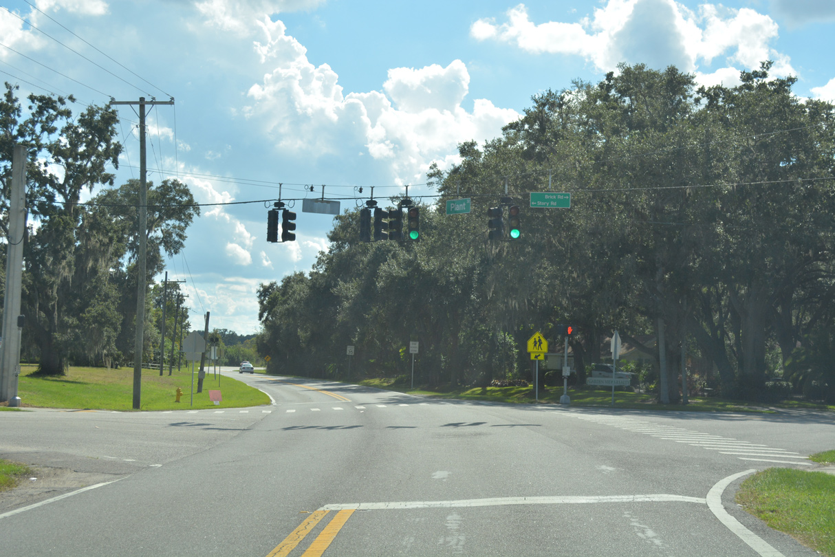
Story Road extends west across the city of Winter Garden from Ocoee to intersects CR 438 (Plant Street) at Brick Road. Brick Road links Plant Street with Tildenville School Road nearby.
10/20/18
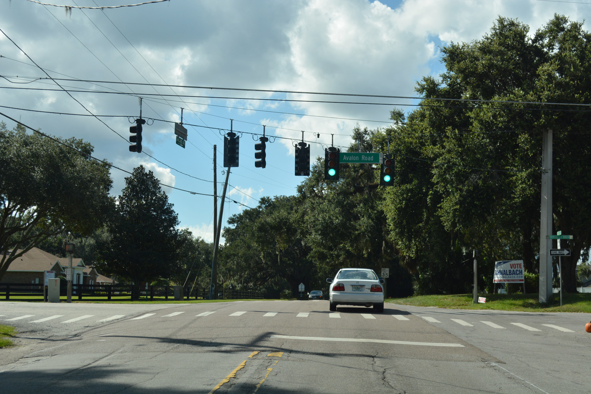
Tildenville School Road leads south from the Oakland Park development to CR 438 (Plant Street) at Avalon Road. Unmarked here is CR 545, which begins and follows Avalon Road south to Tucker Park and the Stonybrook West golf course community through southwest Winter Garden.
10/20/18
The first confirming marker for County Road 438 west appears after Avalon Road (CR 545) south.
10/20/18
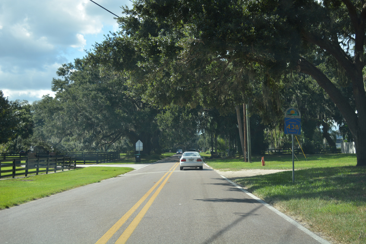
Plant Street becomes Oakland Avenue west of Avalon Road. CR 438 intersects Oakland Park Boulevard north to the Oakland Park development ahead of a separation around several live oak trees.
10/20/18
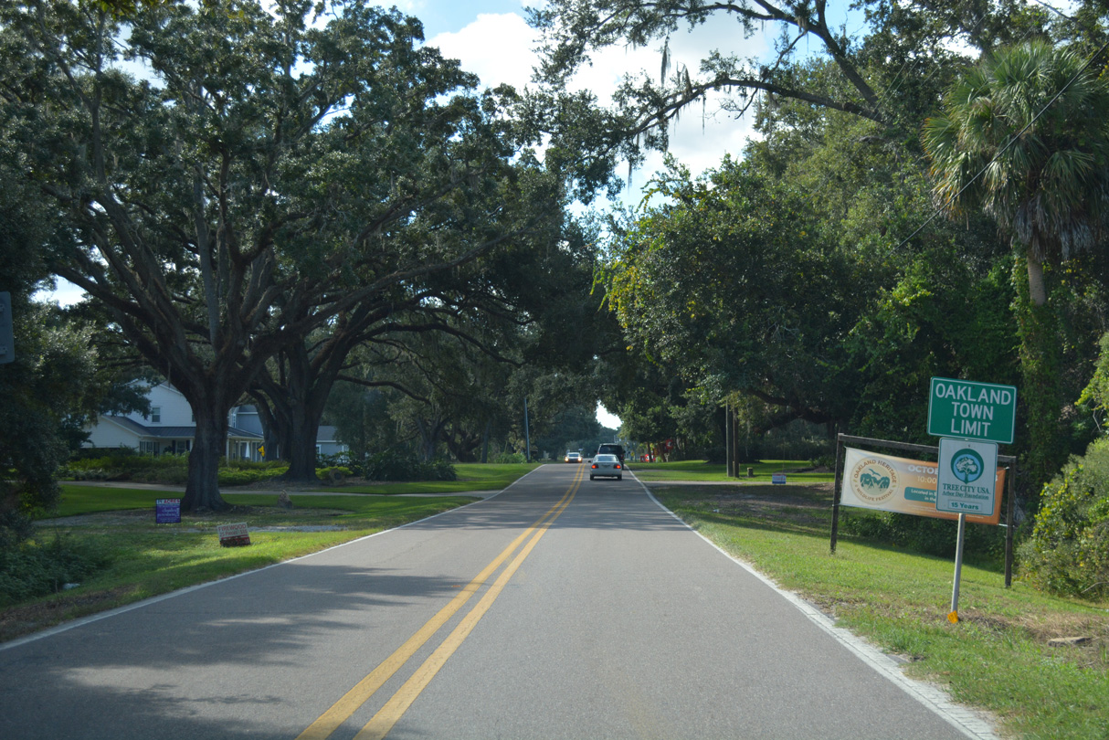
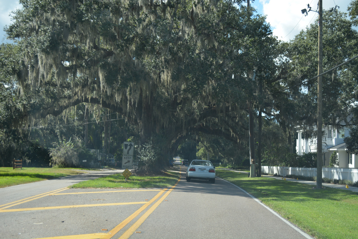
Continuing west, CR 438 (Oakland Avenue) enters the Oakland town limits.
10/20/18
CR 438 (Oakland Avenue) west at the north-south branch of CR 438 along Tubb Street in Oakland and the Green Mountain Scenic Byway spur north to Lake Apopka.
10/20/18
CR 438 south connects with SR 50 (West Colonial Drive) while CR 438 west continues to the Lake County line, where it becomes Old Lake County Road 50.
10/20/18
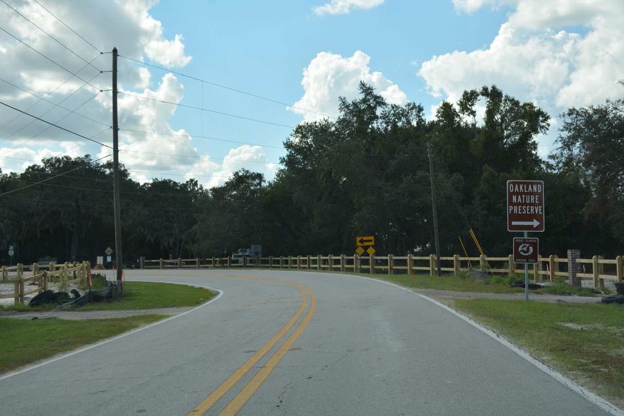
Vacating the Oakland residential street grid, CR 438 (Oakland Avenue) navigates through an S-curve between Oakland Nature Preserve and the Longleaf at Oakland development.
10/20/18
Oakland Avenue spans Florida's Turnpike across a 1964-built overpass.
10/20/18

A Florida Scenic Highway trailblazer references the continuation of Oakland Avenue (CR 438) west from Deer Isle Drive. The two lane road defaults onto Deer Isle Drive south to adjacent SR 50 (West Colonial Drive) otherwise.
10/20/18

Oakland Street (CR 438) arcs northwest to the Killarney Station trailhead for the West Orange Trail around the Oakland Trails development. Green Mountain Scenic Byway continues west along Old Lake County Road 50 to CR 455 and Montverde.
10/20/18
Photo Credits:
- Alex Nitzman: 01/25/08, 02/02/08, 03/12/08, 03/14/08, 04/05/08, 10/02/08, 10/20/18
- ABRoads: 06/02/18
Connect with:
Page Updated Wednesday October 24, 2018.