
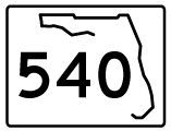
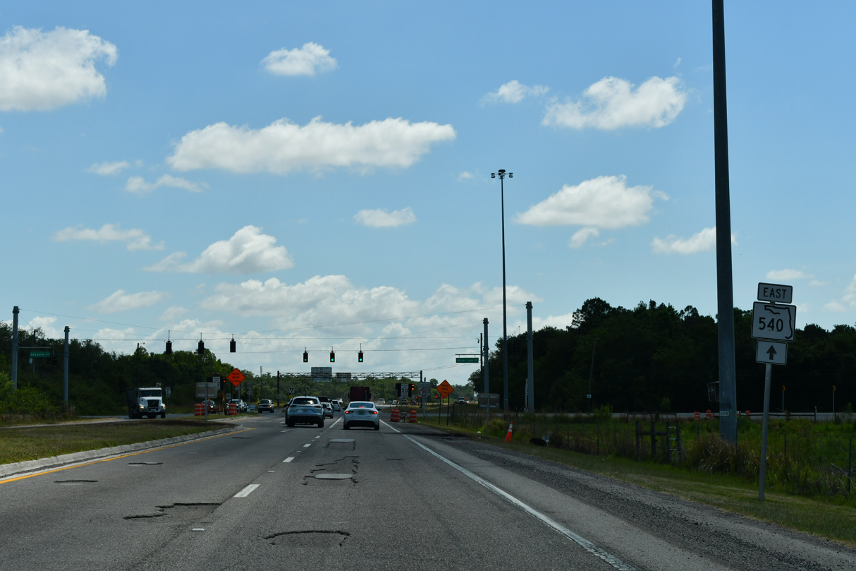
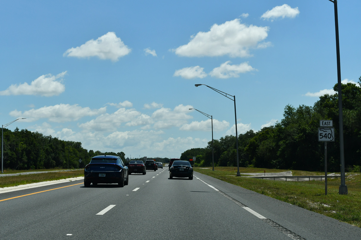
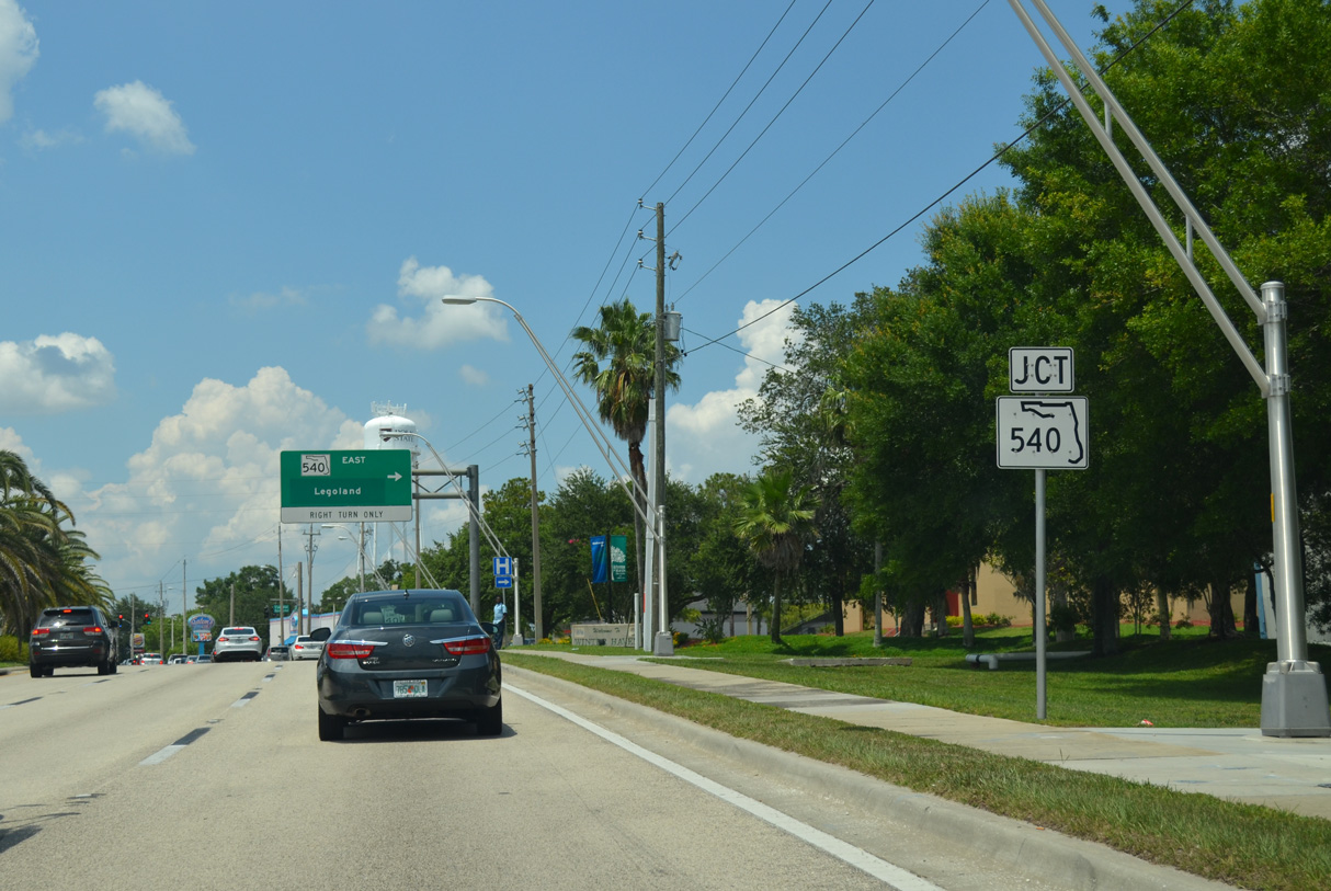
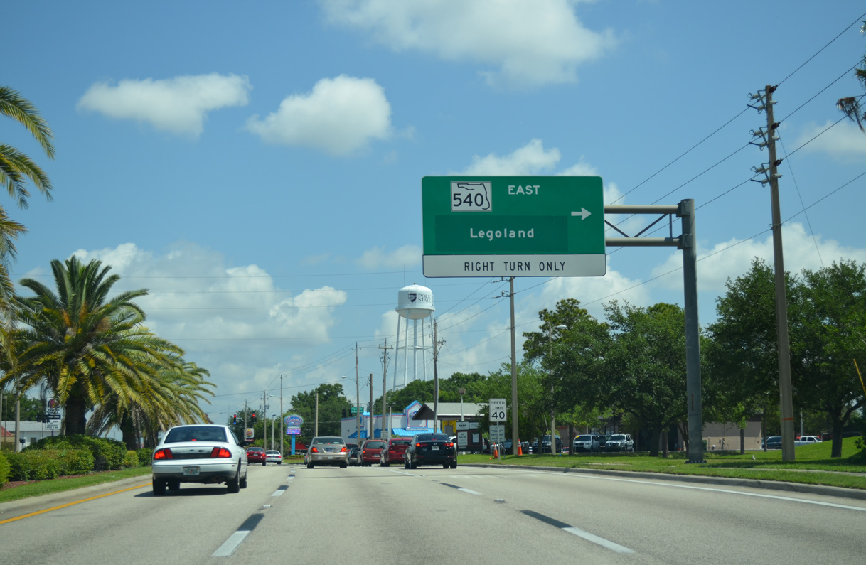
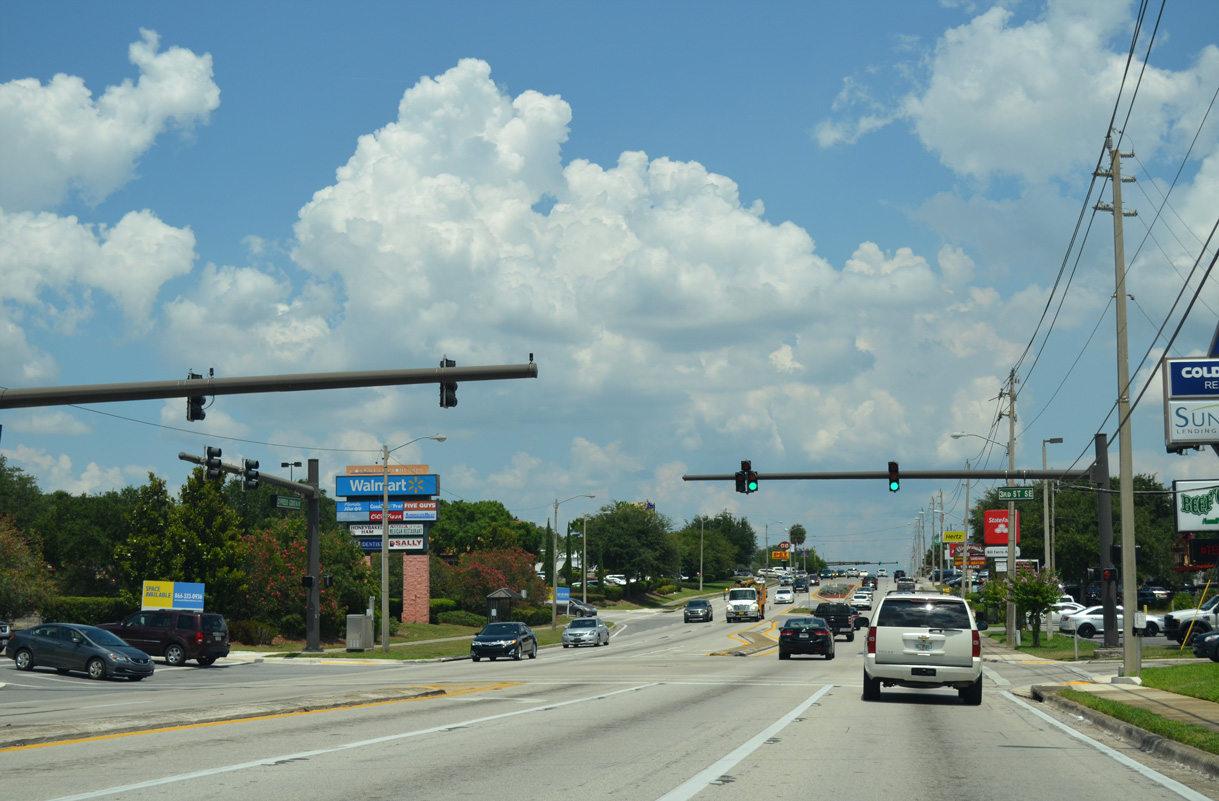
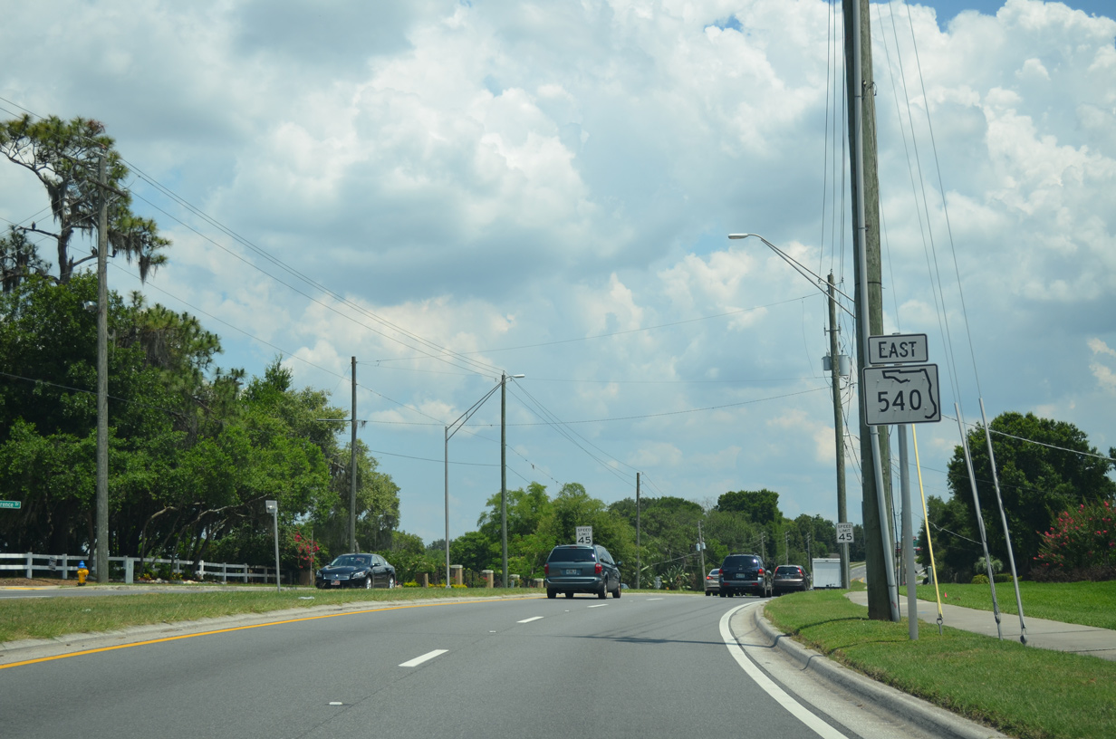
State Road 540 East
 East
East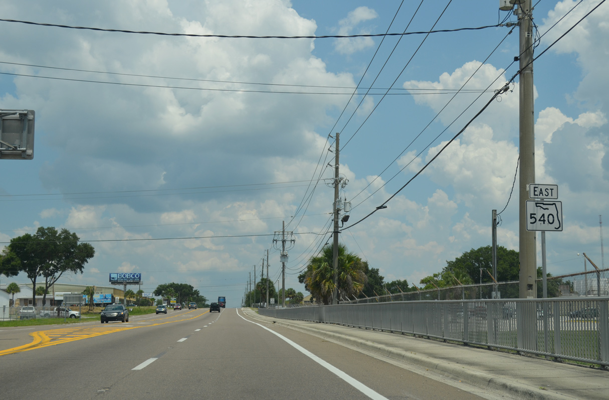
The first confirming marker for SR 540 stands just east of U.S. 98.
05/31/16
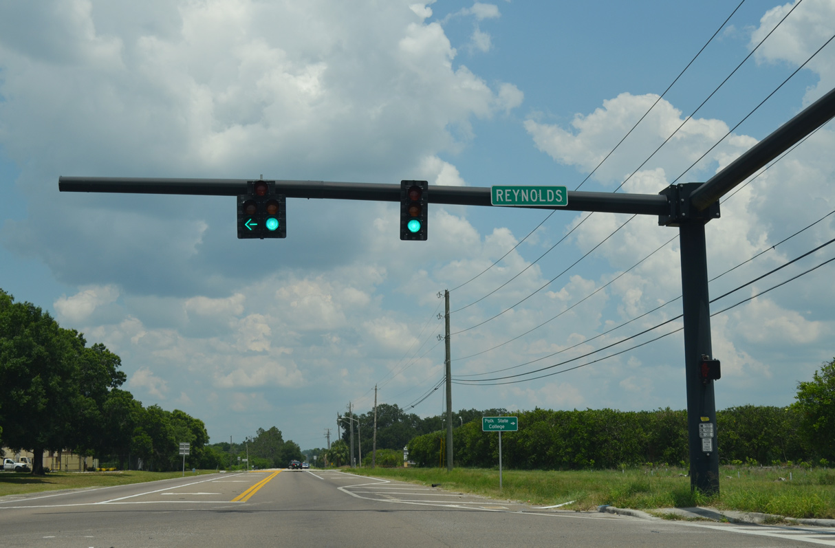
Reynolds Road stems north from SR 540 by a number of industrial parks toward U.S. 92 (Memorial Boulevard).
05/31/16
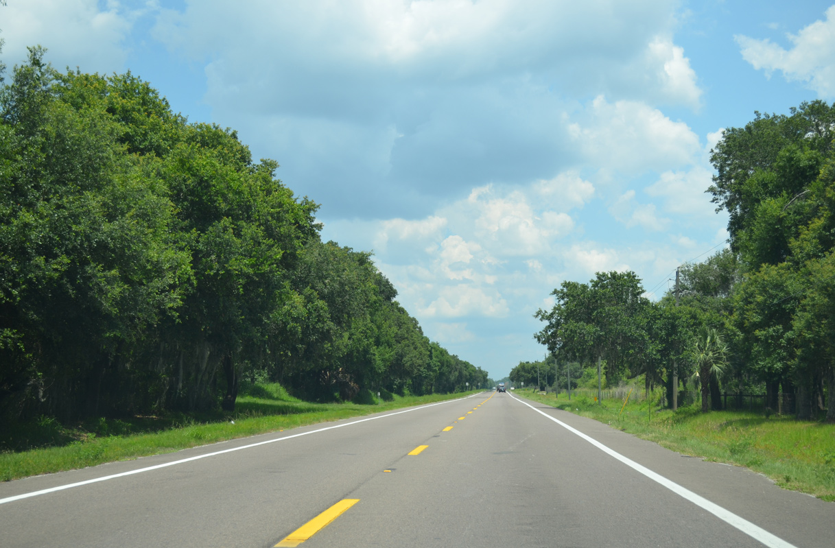
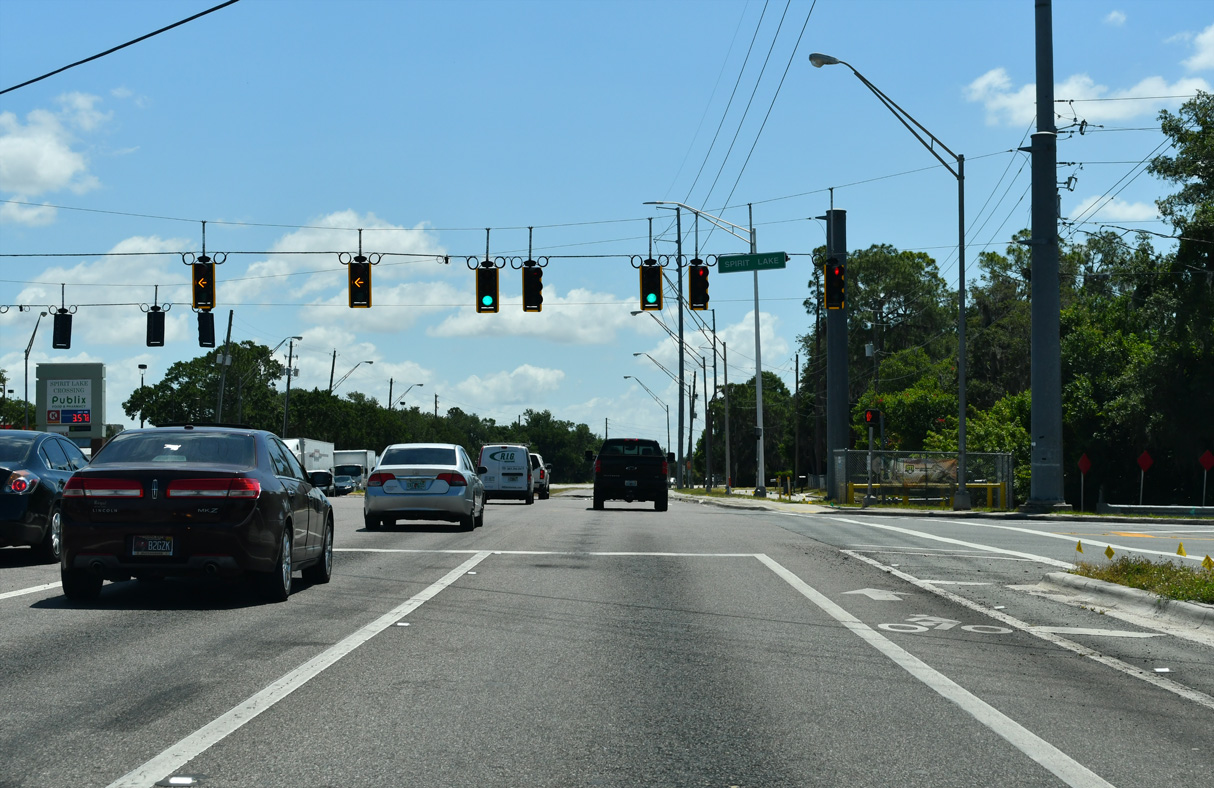
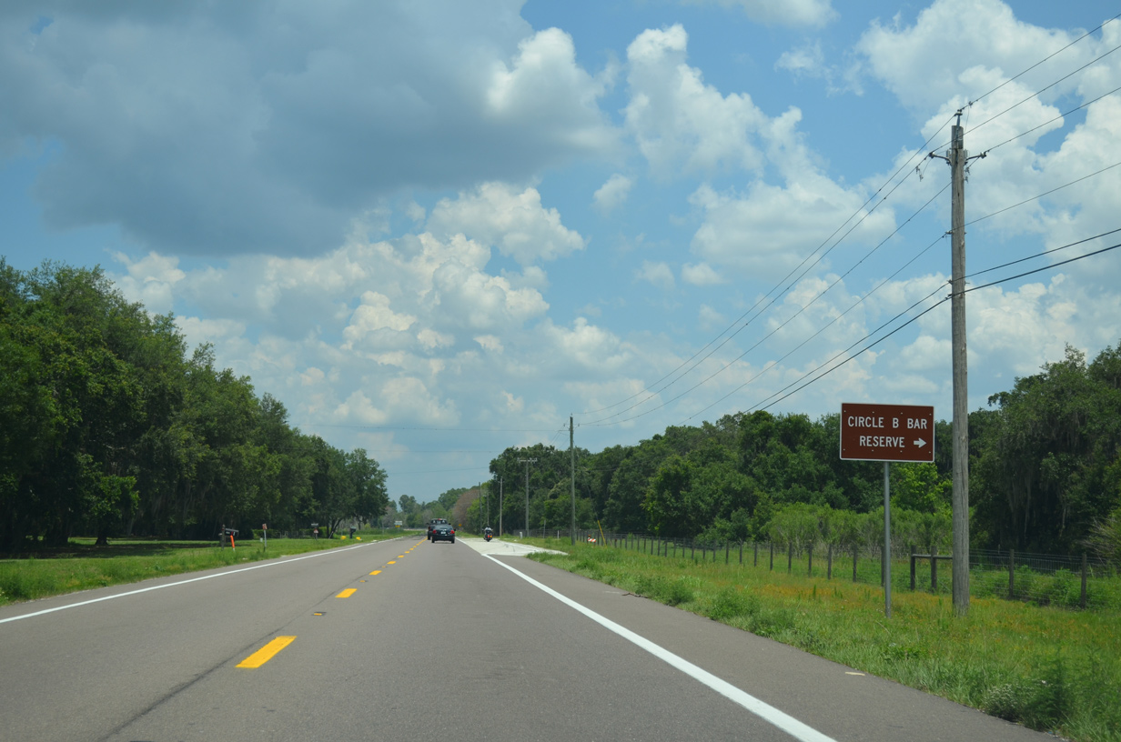
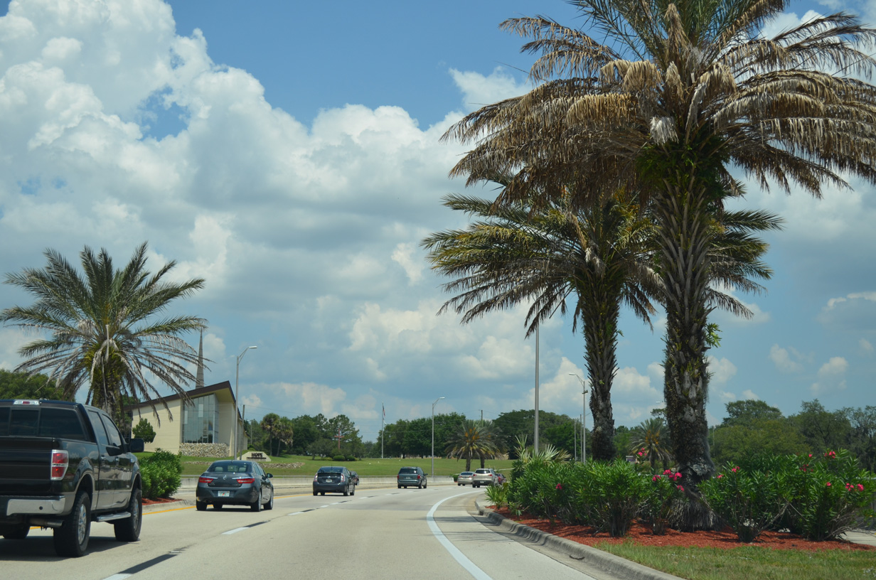
State Road 540 straddles the northern boundary of Circle B Bay Reserve, a park along the northwest side side of Lake Hancock.
05/31/16
Crossing Saddle Creek, SR 540 angles northeast to Marshall Hampton Preserve.
05/31/16
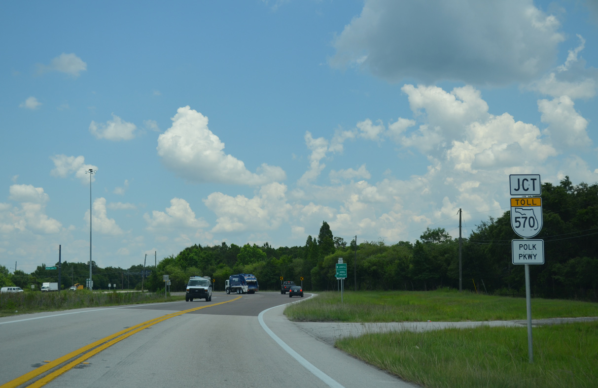
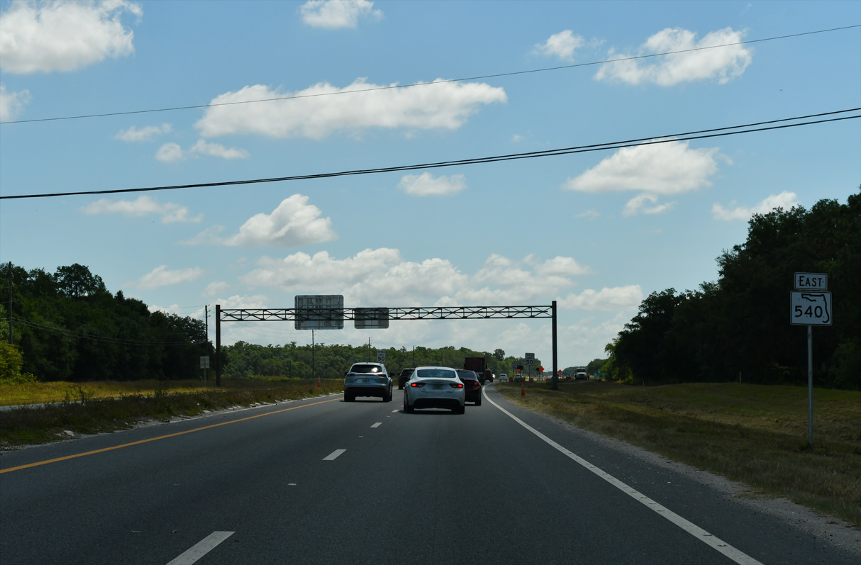
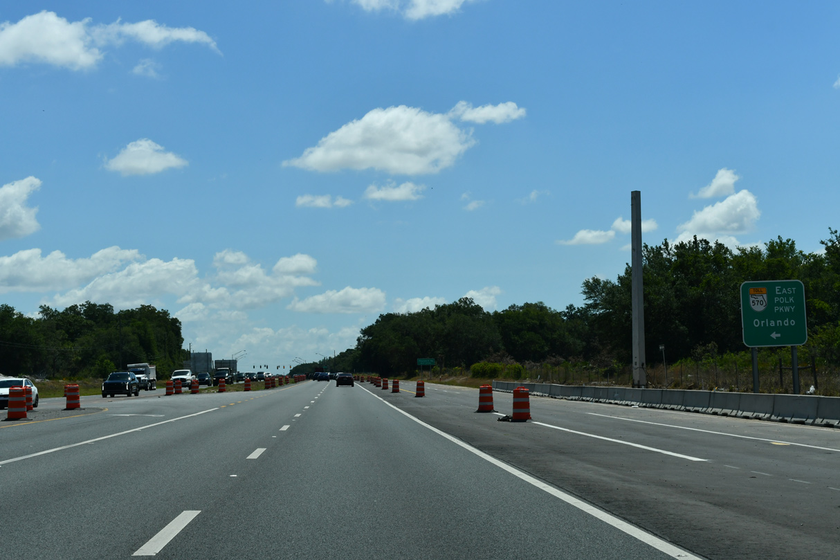
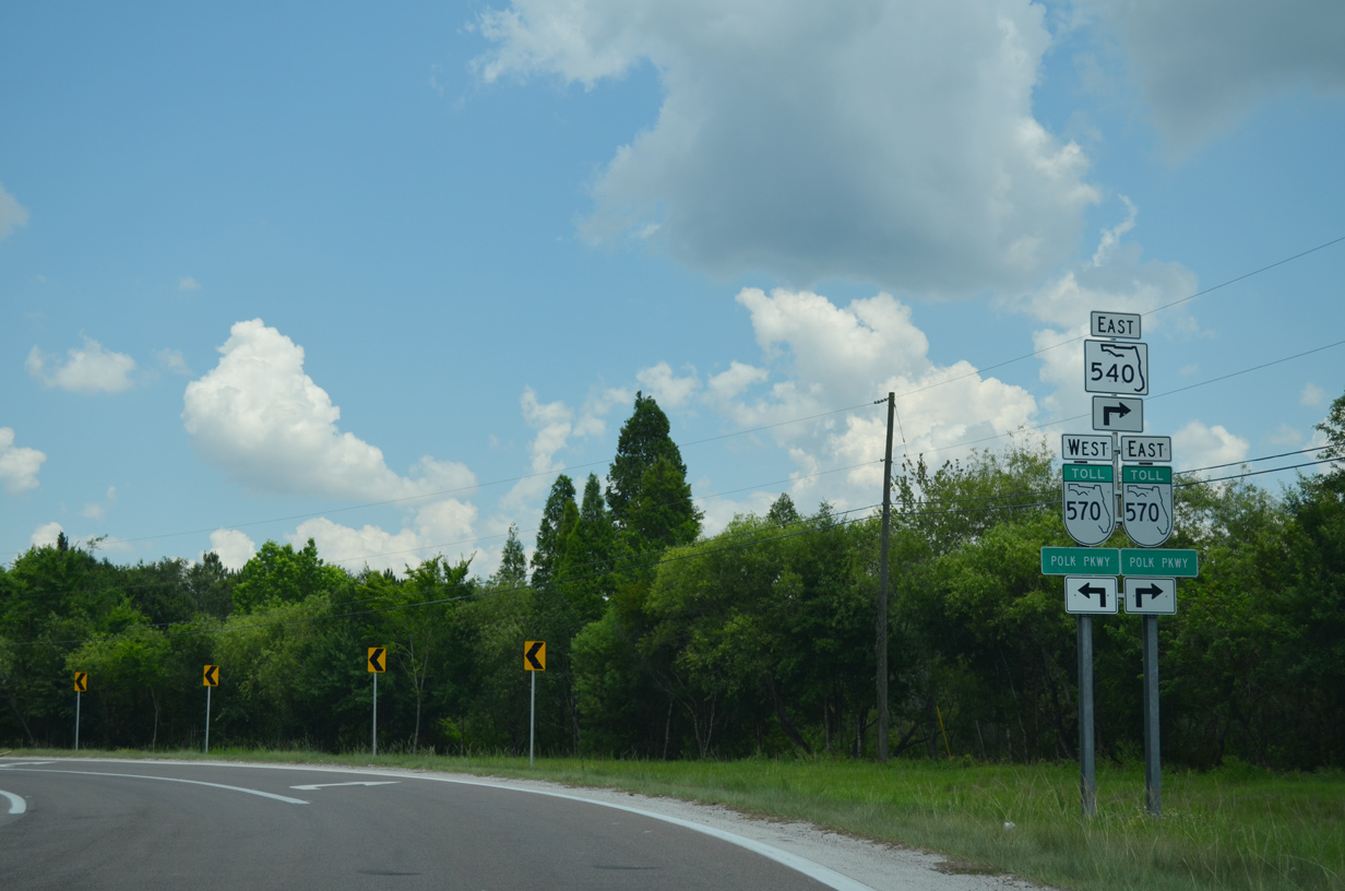
A pair of wye interchanges connect the adjacent Polk Parkway (SR 570) with SR 540.
05/31/16
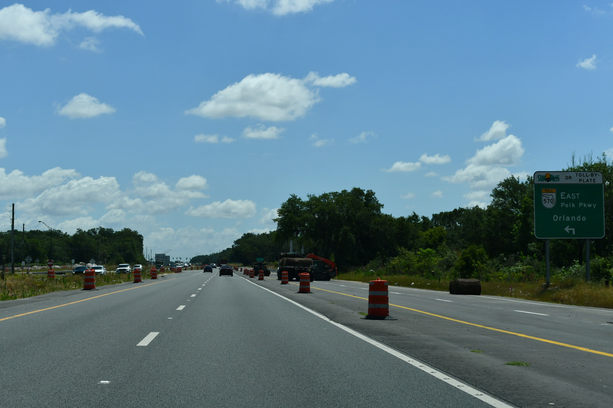
SR 570 (Polk Parkway) leads west back to Lakeland and Interstate 4 near the Hillsborough County line.
05/31/16
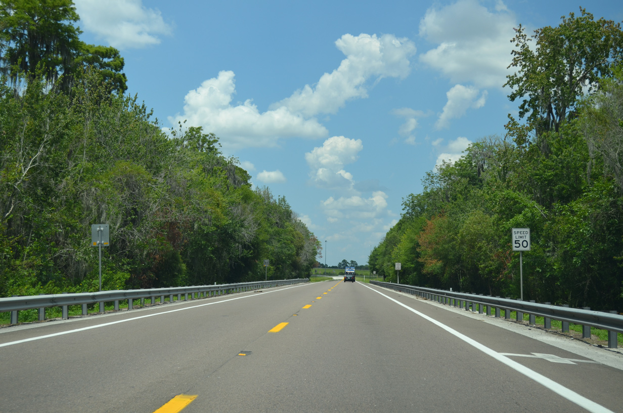
SR 540 ties into the ramp from Exit 14 on Polk Parkway eastbound.
05/03/24
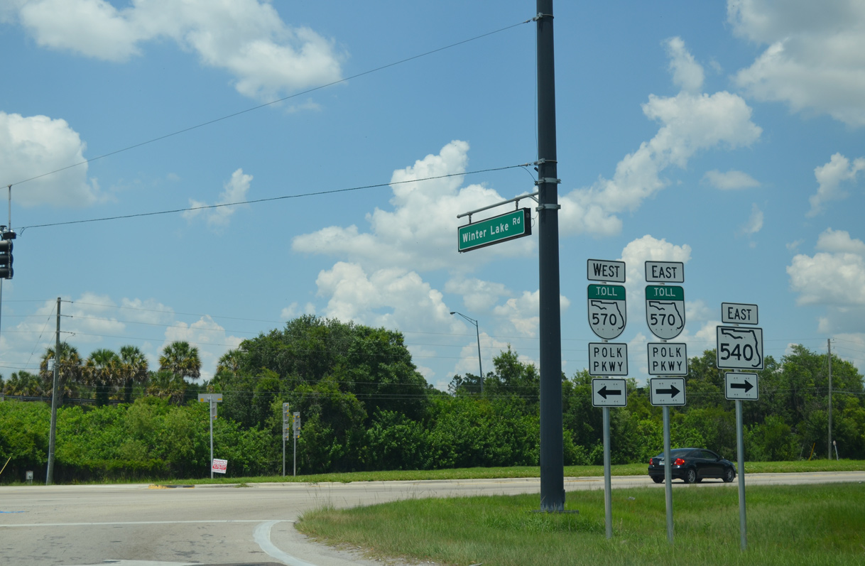
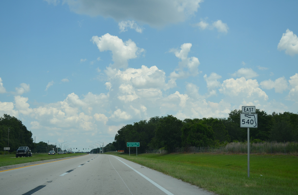
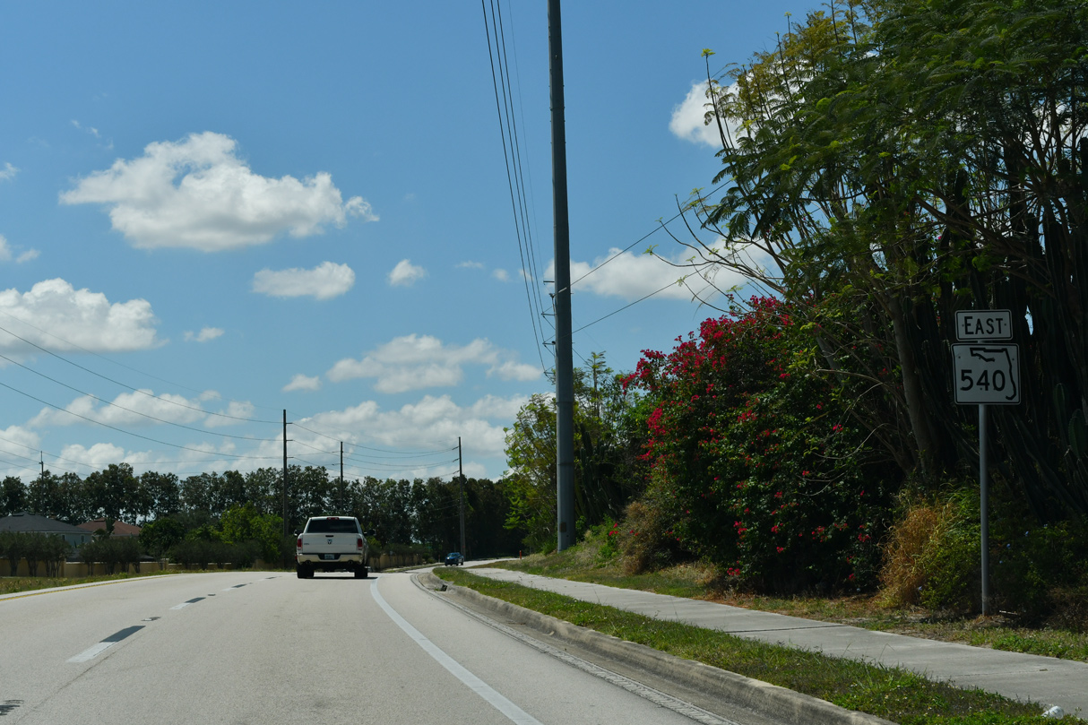
State Road 540 expands to four lanes along Winter Lake Road from SR 570 and DeCastro Road east to the census designated place of Jan Phyl Village.
05/03/24
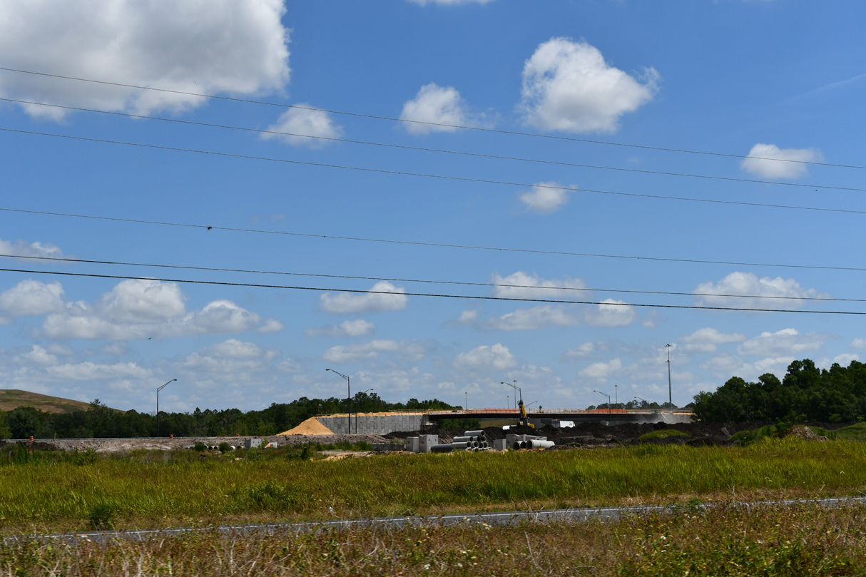
Construction for the Central Polk Parkway (SR 570B) builds a directional T interchange along SR 570 (Polk Parkway) in place of the ramps connecting SR 540 and SR 570. Ground breaking for the project took place on March 23, 2023.
05/03/24
Polk Parkway turns north from SR 540 along the west side of Auburndale. Operated Florida's Turnpike Enterprise (FTE), the toll road concludes at I-4 along the Lakeland and Polk City lines.
05/03/24
Construction of Central Polk Parkway (SR 570B) adds a diamond interchange with SR 540 (Winter Lake Road). Ramps joining SR 570B will connect SR 540 with SR 570 (Polk Parkway) to the north.
05/03/24
Removed during construction of Central Polk Parkway, this reassurance marker was posted beyond the westbound off-ramp from SR 570 to SR 540. SR 540 continues alongside Marshall Hampton Preserve east to Thornhill Road.
05/31/16
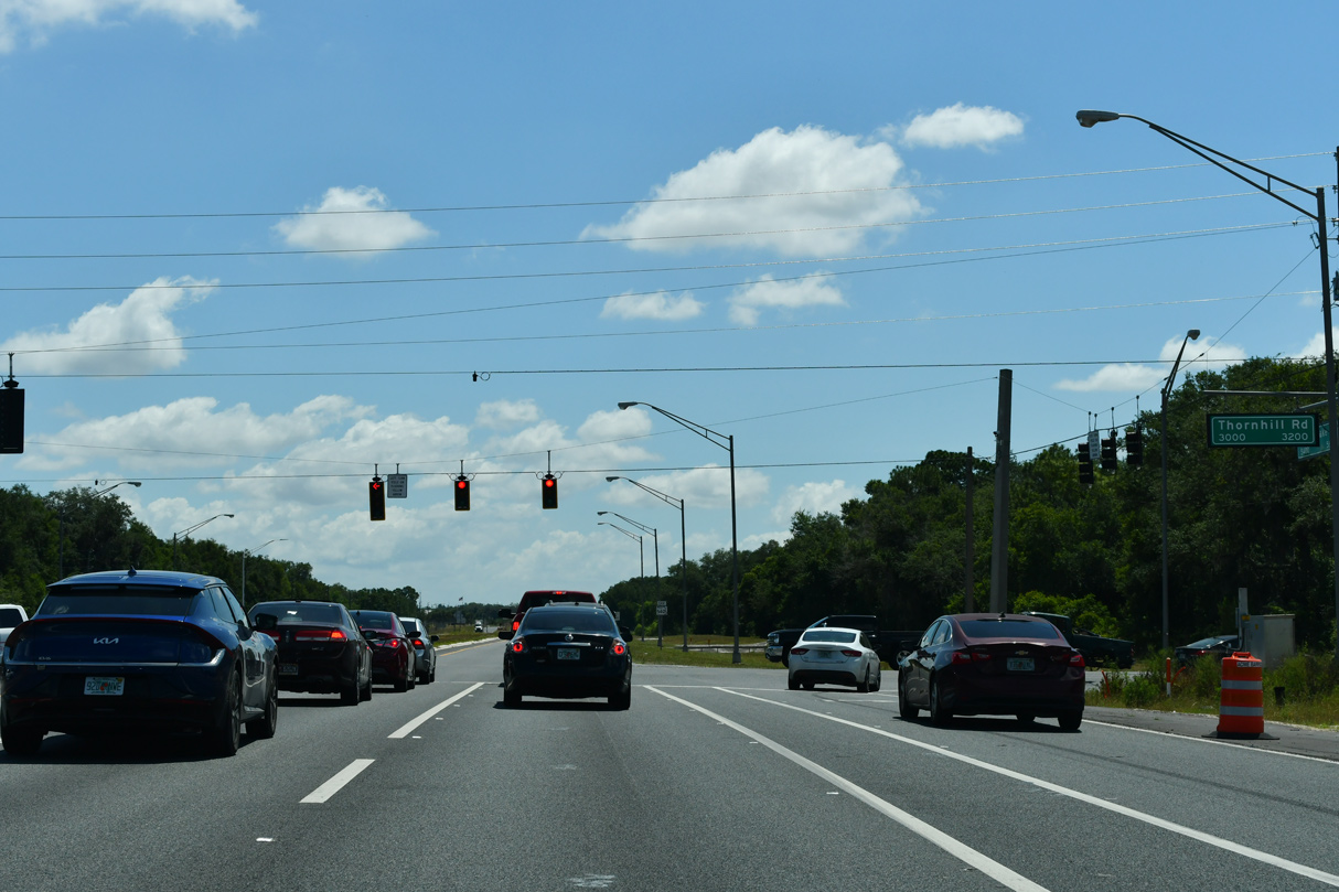
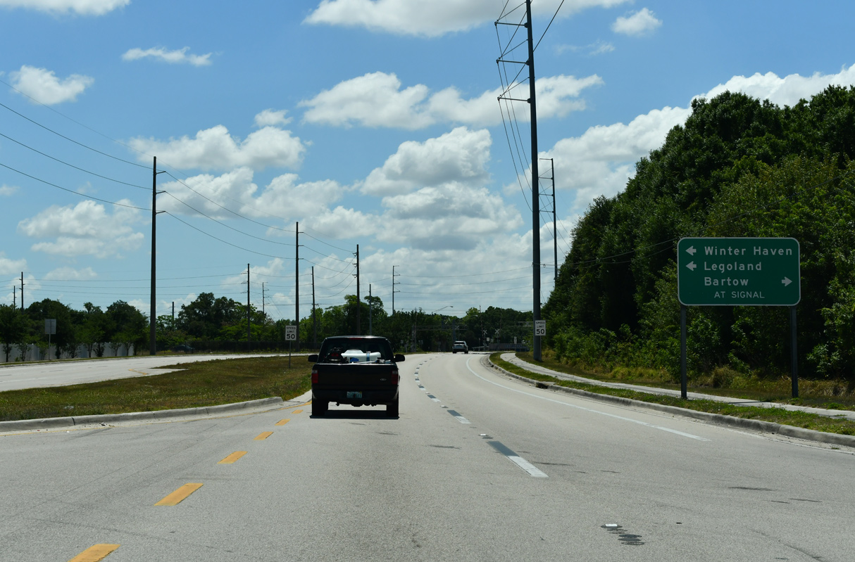
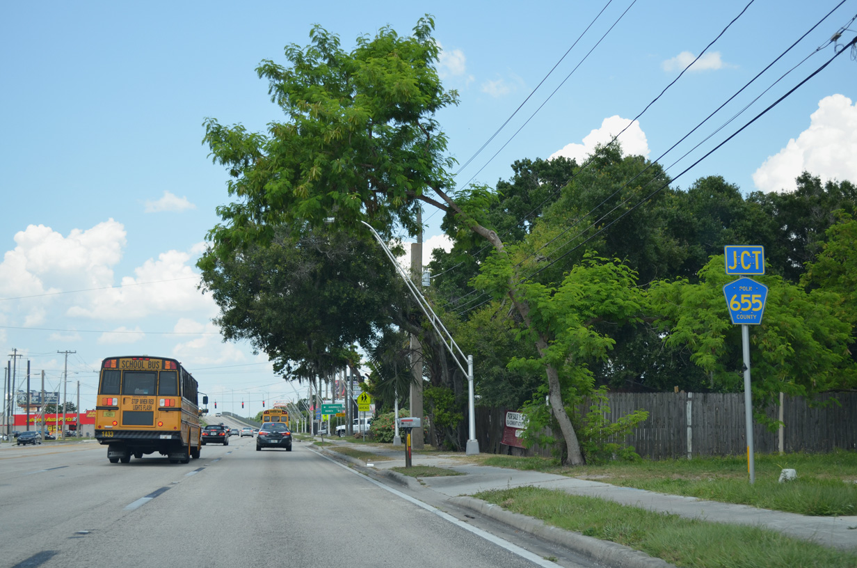
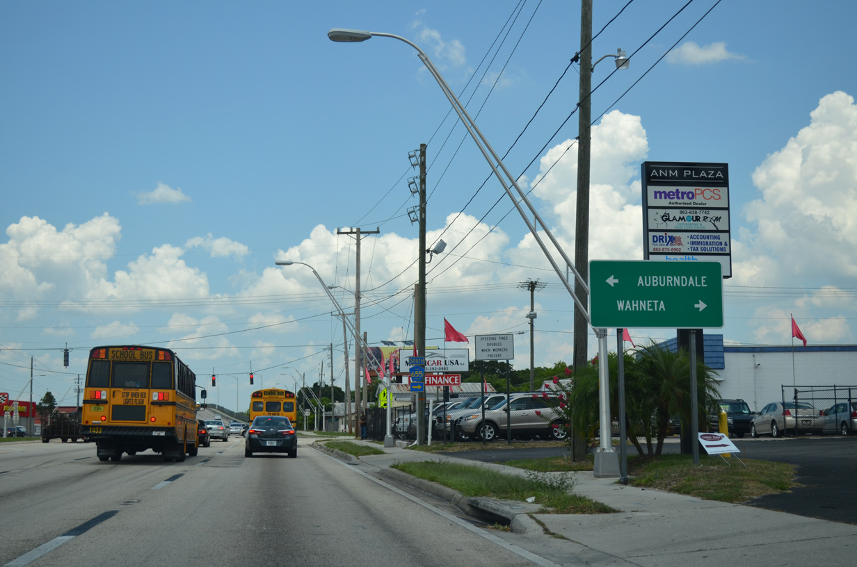
Thornhill Road meanders north from Eagle Lake outside Winter Haven to CR 542 (K-Ville Avenue) at Jones Corner and SR 655 at Auburndale.
05/03/24
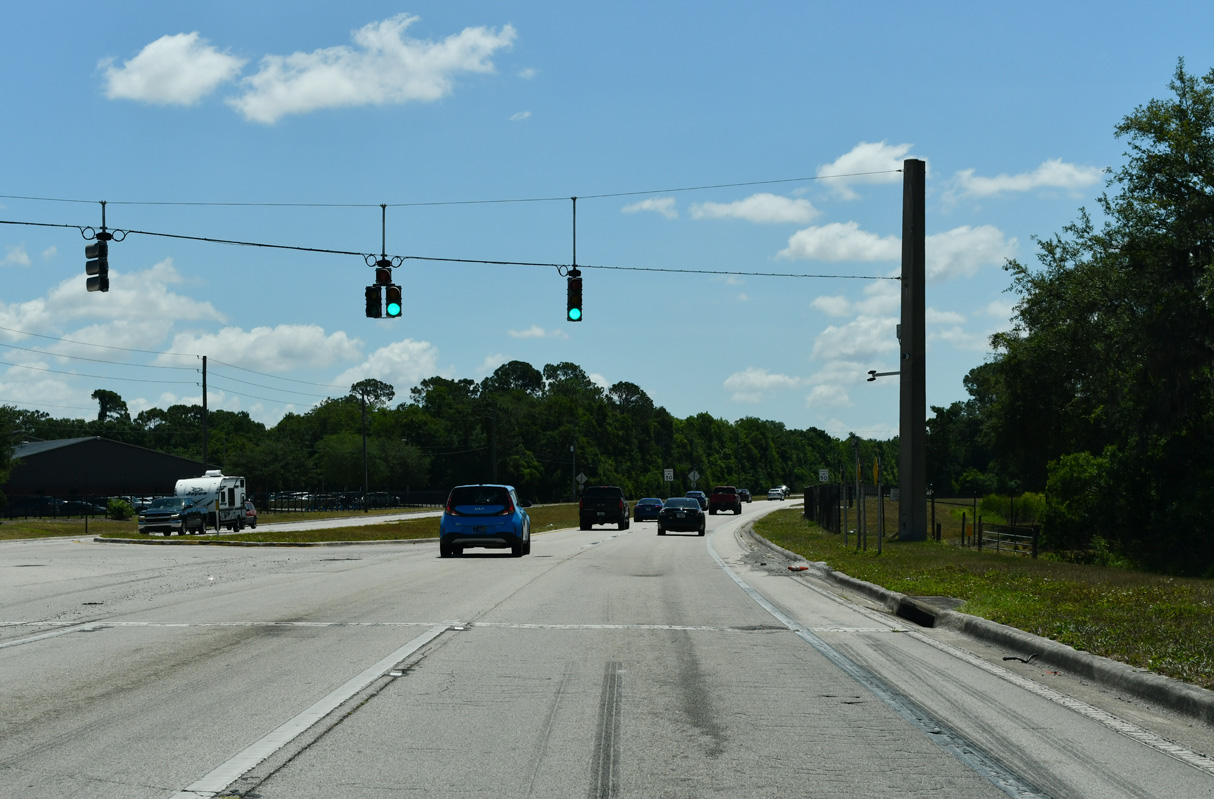
Traffic lights operate along SR 540 (Winter Lake Road) at the entrance to All Saints Academy.
05/03/24
Advancing east along Winter Lake Road, SR 540 enters residential areas outside of Winter Haven between Thomas Lake and Spirit Lake. Spirit Lake Road comprises a four lane boulevard north to SR 655 (Recker Highway) and a two lane road south to U.S. 17 at Bartow Executive Airport (BOW).
05/03/24
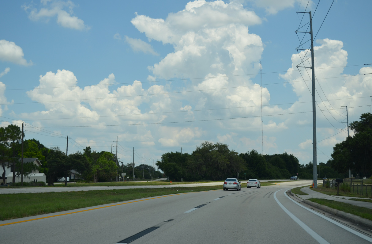
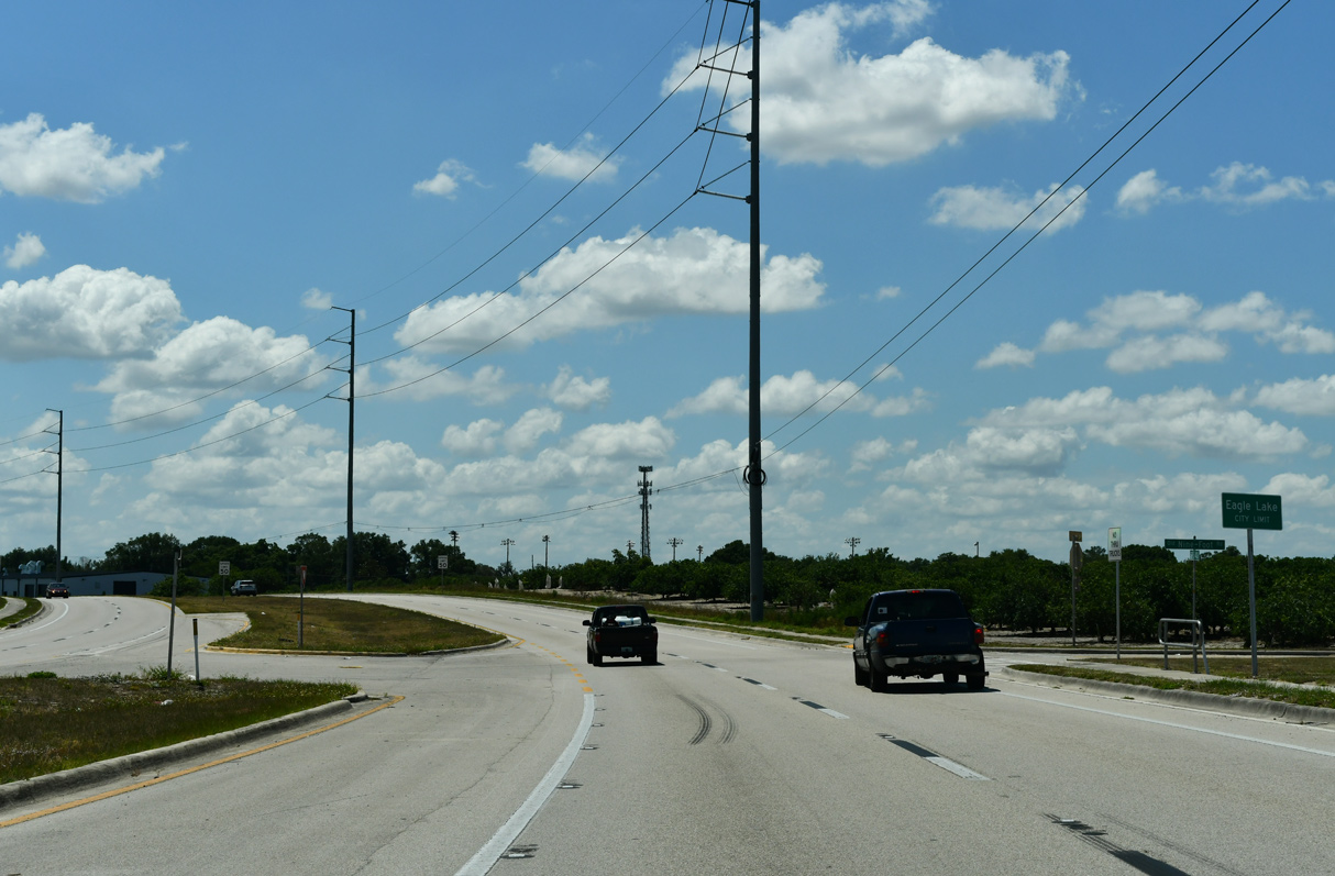
SR 540 arcs southward from Kings Road SW around the eastern periphery of Eagle Lake.
05/31/16
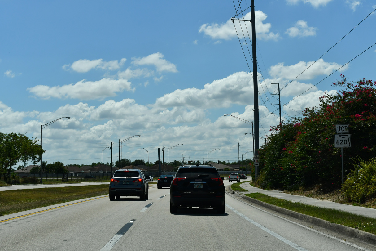
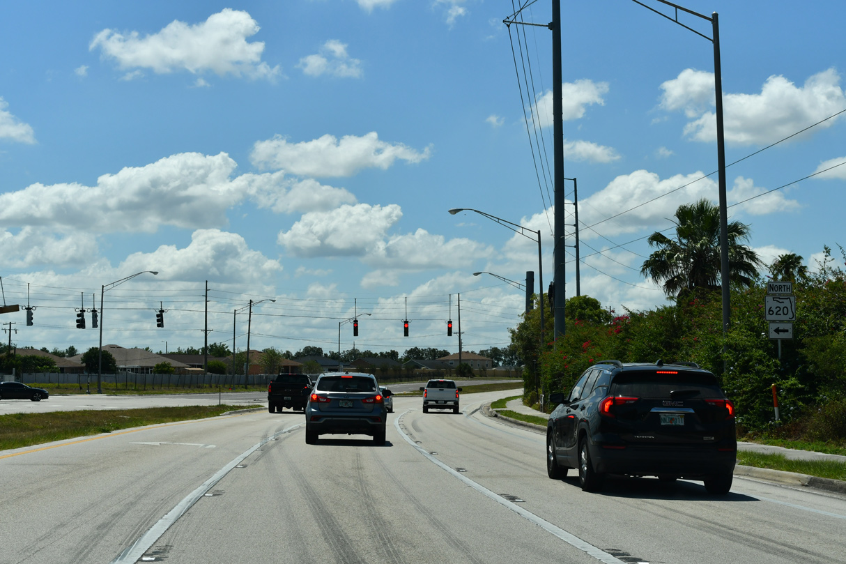
Straddling the Winter Haven city line, SR 540 east next intersects SR 620.
05/03/24
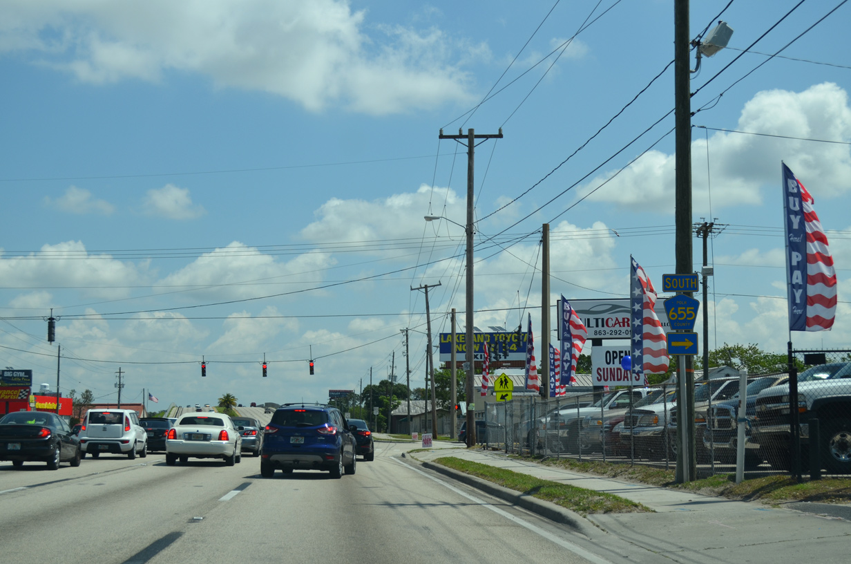
State Road 620 is a 0.63 mile connector linking SR 540 with SR 655 (Recker Highway) and Lake Shipp Drive (old CR 655).
05/03/24
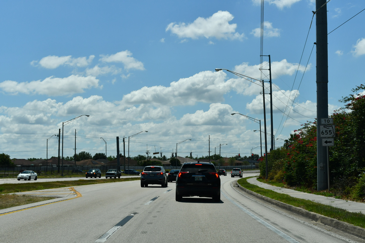
SR 540, SR 620 and SR 655 comprise a four lane truck route northwest from U.S. 17 at Eagle Lake to U.S. 92 at Auburndale.
05/03/24
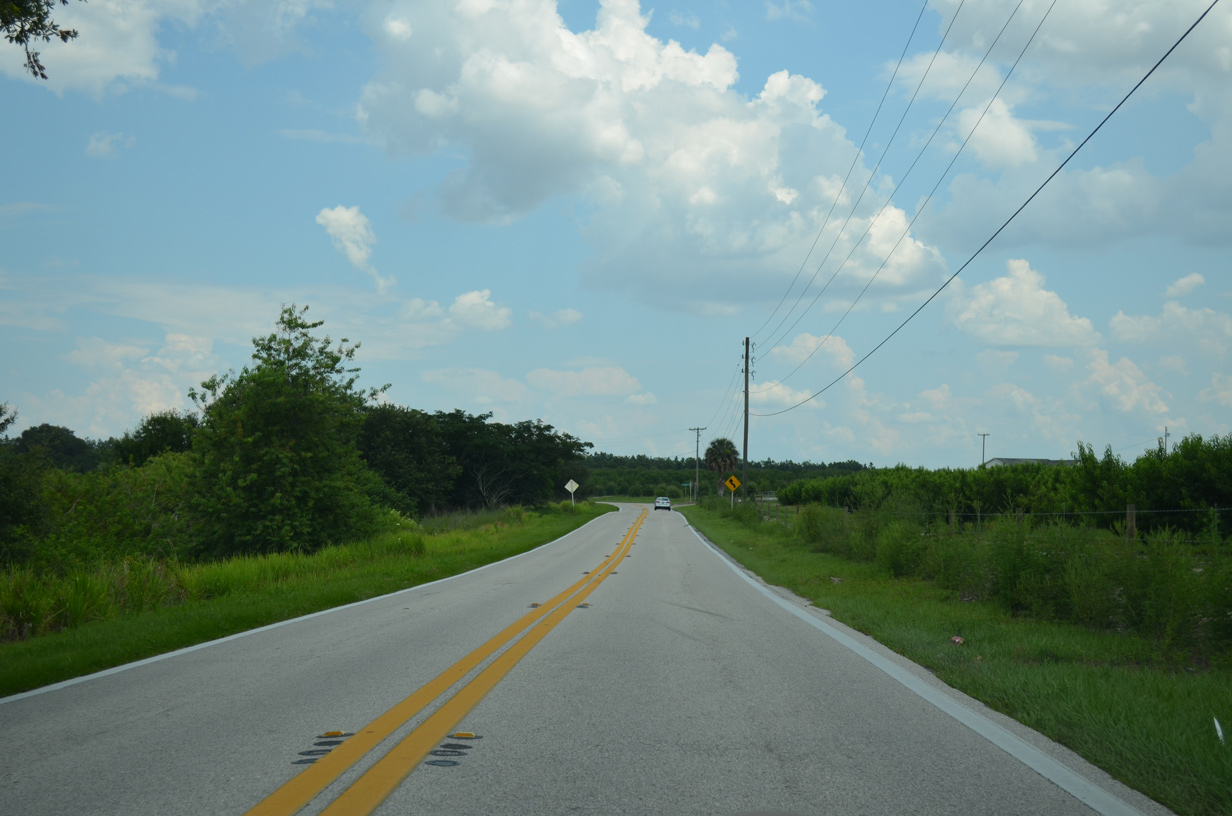
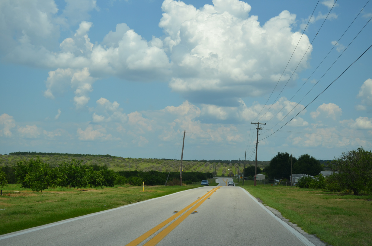
SR 540 passes between remaining orange groves from SR 620 to the Eagle Lake city line.
05/03/24
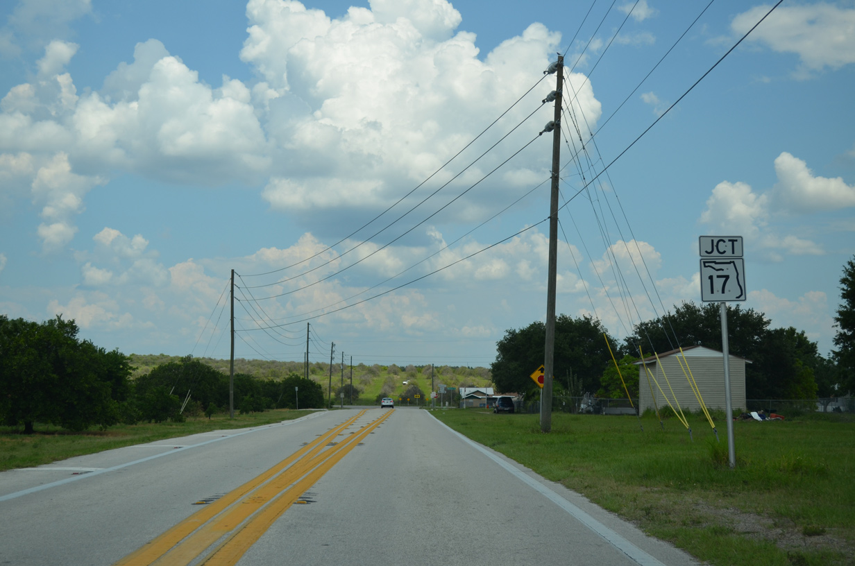
Curving southeast ahead of Cooley Road, SR 540 converges with U.S. 17 at Cameron Road.
05/03/24
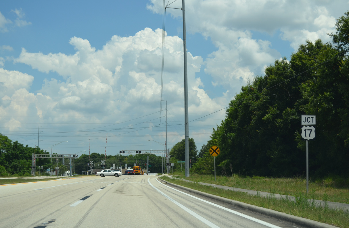
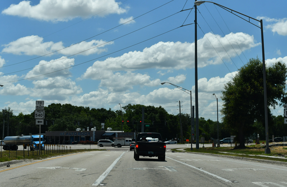
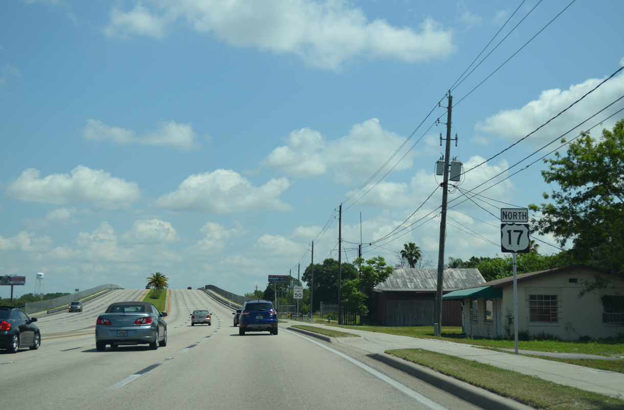
U.S. 17 constitutes a six lane arterial southwest from Eagle Lake to Bartow and northward into central Winter Haven.
05/03/24
An implied overlap with U.S. 17 connects the western section of SR 540 with the continuation of SR 540 east along Cypress Gardens Boulevard, 1.75 miles to the northeast.
05/03/24
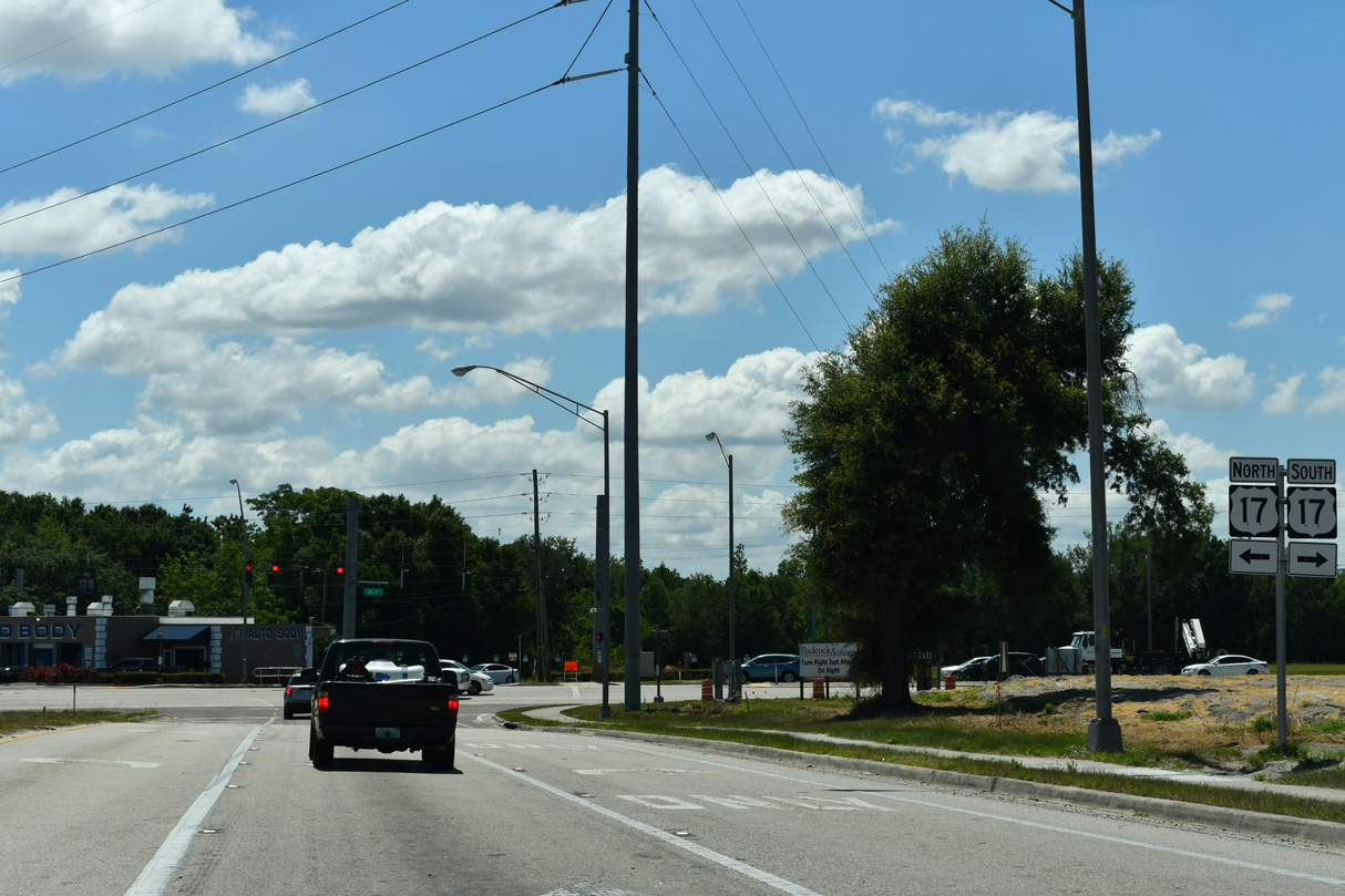
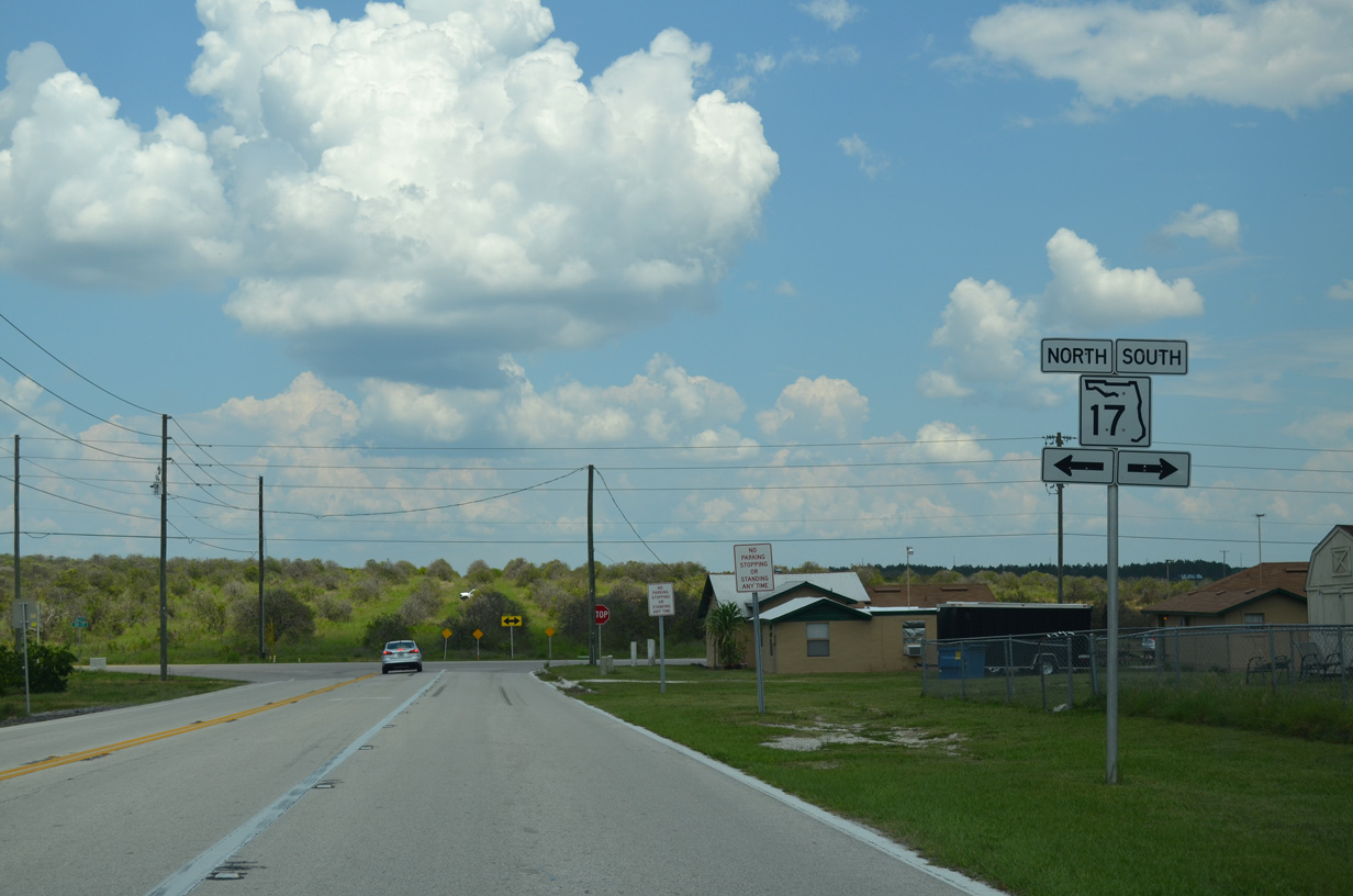
 North TO East
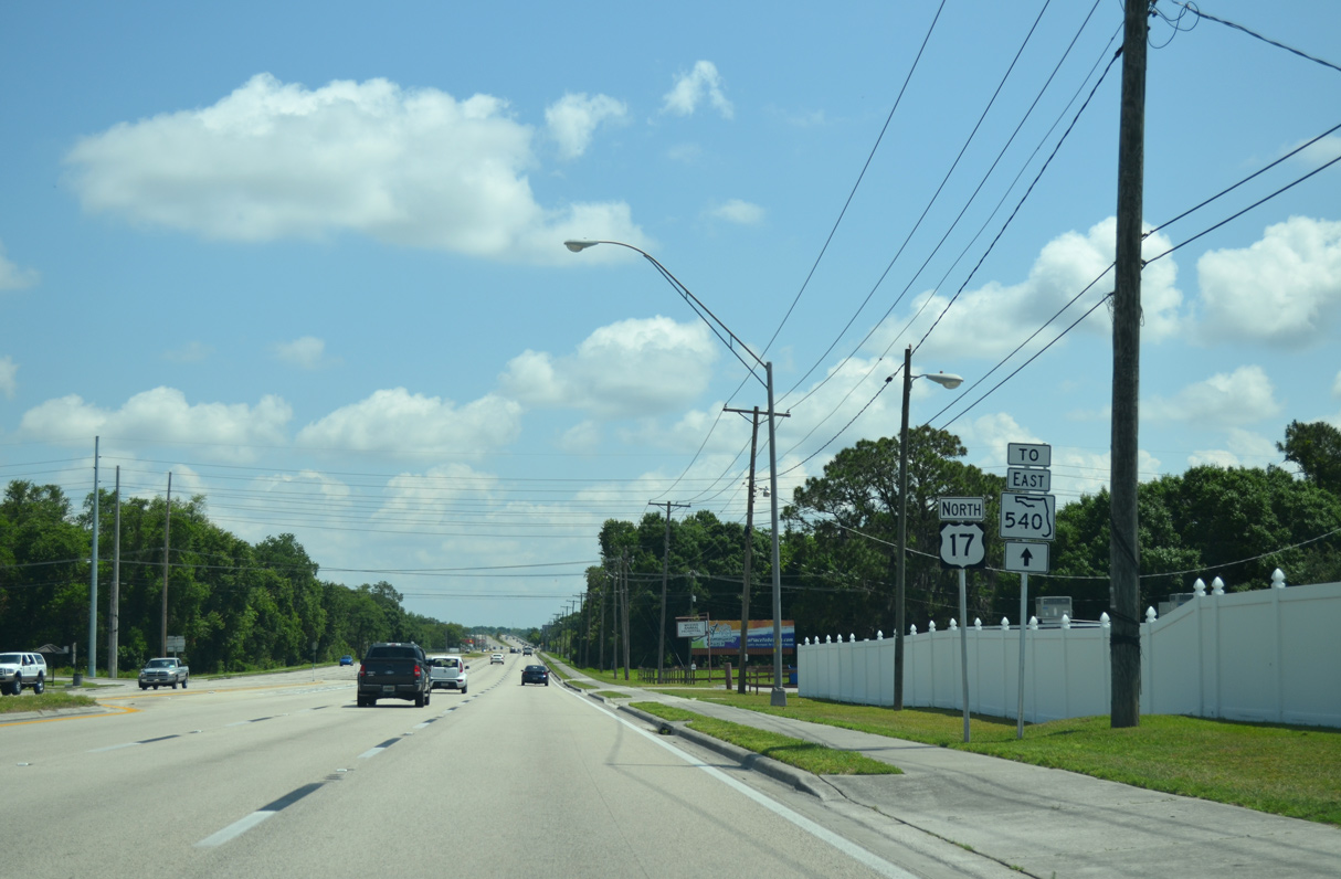
U.S. 17 continues 1.6 miles north from the western branch of SR 540 to the continuation of SR 540 east on Cypress Gardens Boulevard.
04/26/14
U.S. 17 meets CR 655 (Snively Avenue) south at Eloise.
05/31/16
Guide signs on U.S. 17 still reference Lake Shipp Drive north to Auburndale from when it was part of State Road 655.
05/31/16
CR 655 leads 5.70 miles south from U.S. 17 to Wahneta and SR 60 near Lake Garfield.
04/26/14
U.S. 17 reassurance marker previously posted north of CR 655 (Snively Avenue).
04/26/14
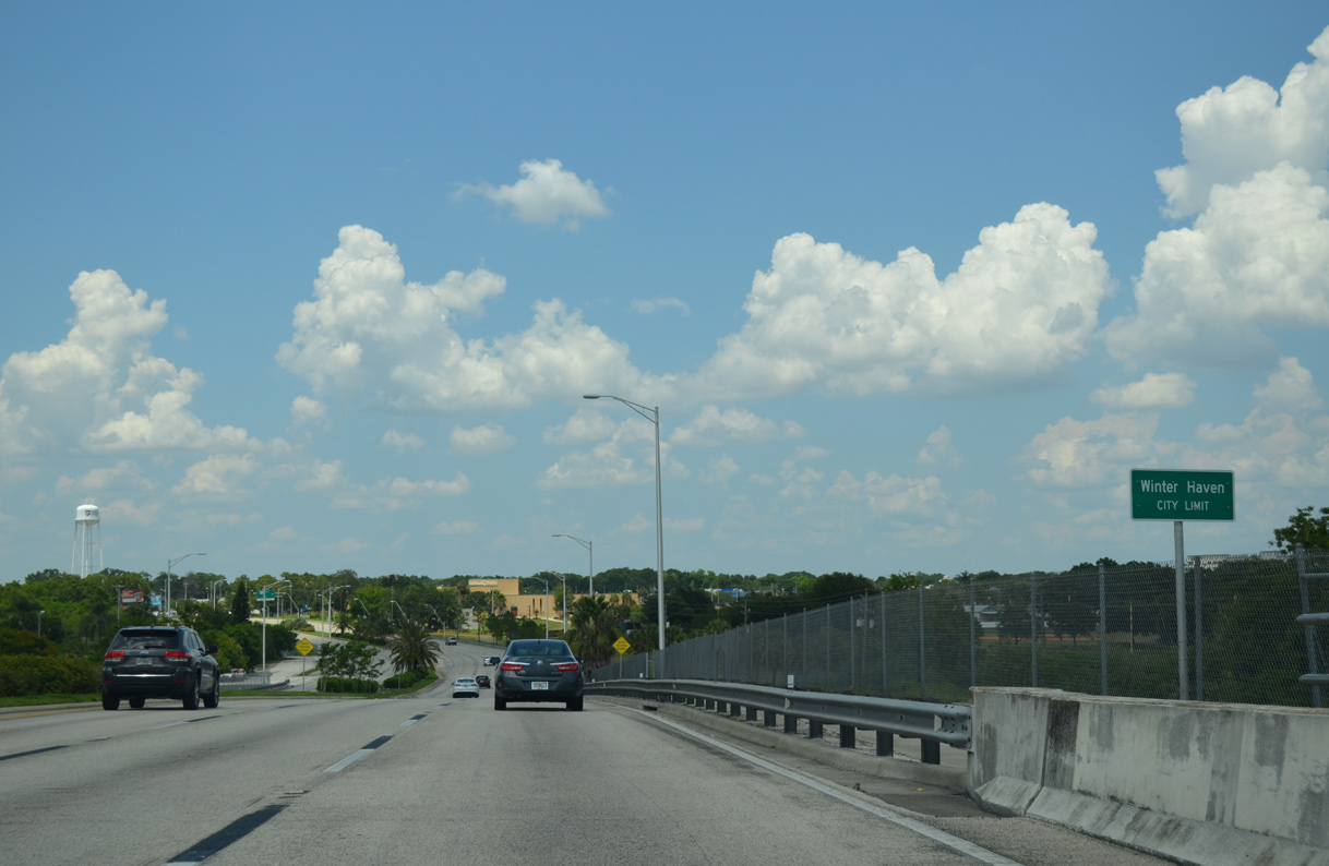
U.S. 17 enters Winter Haven on the bridge spanning a CSX Railroad and inlet between Lake Shipp and Lake Lulu.
05/31/16
U.S. 17 curves north onto 3rd Street SW ahead of SR 540 (Cypress Gardens Boulevard) east and Avenue R SW.
05/31/16
The previous overhead for SR 540 east on U.S. 17 north referenced Cypress Gardens Adventure Park. Cypress Gardens closed and was eventually replaced by Legoland.
04/26/14
Cypress Gardens Boulevard - East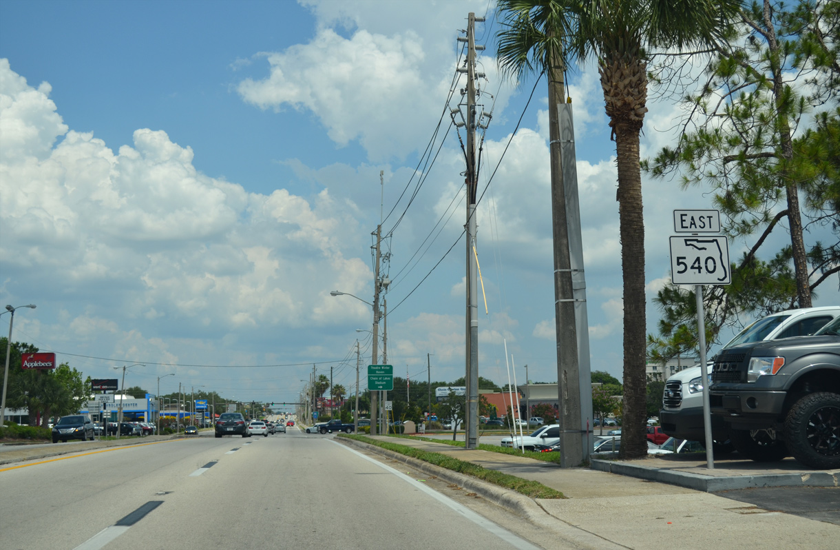
A $5.6 million project expanded the intersection joining U.S. 17 with the continuation of SR 540 along Cypress Gardens Boulevard between early 2023 and early 2024. Additional turn lanes were added and as well as concrete separators at 2nd Street SW.1
05/31/16
1st Street S north is a four lane boulevard leading 1.25 miles north to become SR 549 at SR 542 (Central Avenue) outside Downtown Winter Haven.
05/31/16
Traffic lights at 3rd Street SE serve Colonial Promenade shopping center to the north and a neighborhood to the south.
05/31/16
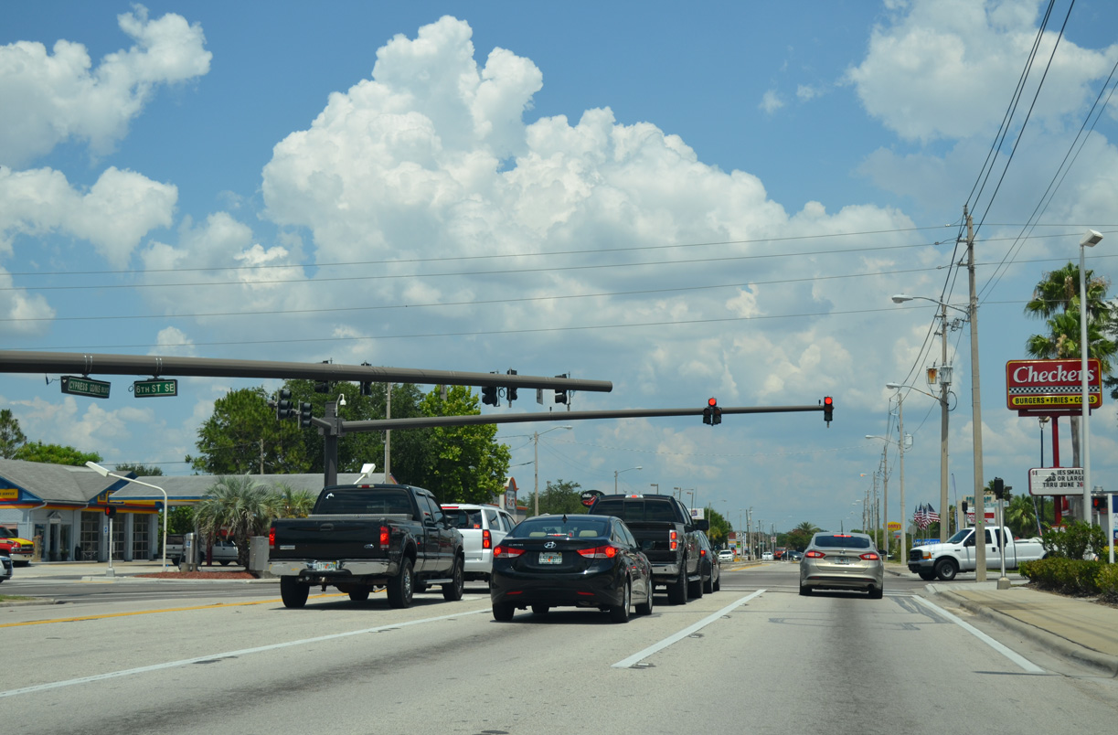
6th Street SE is a major collector north 1.25 miles to Winter Haven High School and SR 542 (Central Avenue) near Lake Elbert.
05/31/16
9th Street SE ties into Cypress Gardens Boulevard from residential areas by Lake Lulu.
05/31/16
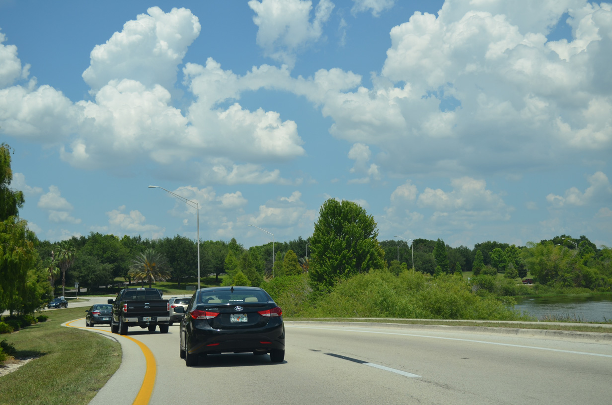
SR 540 (Cypress Gardens Boulevard) navigates through a series of S-curves east to the north side of Lake Roy.
05/31/16
SR 540 (Cypress Gardens Boulevard) spans the north end of Lake Ina.
05/31/16
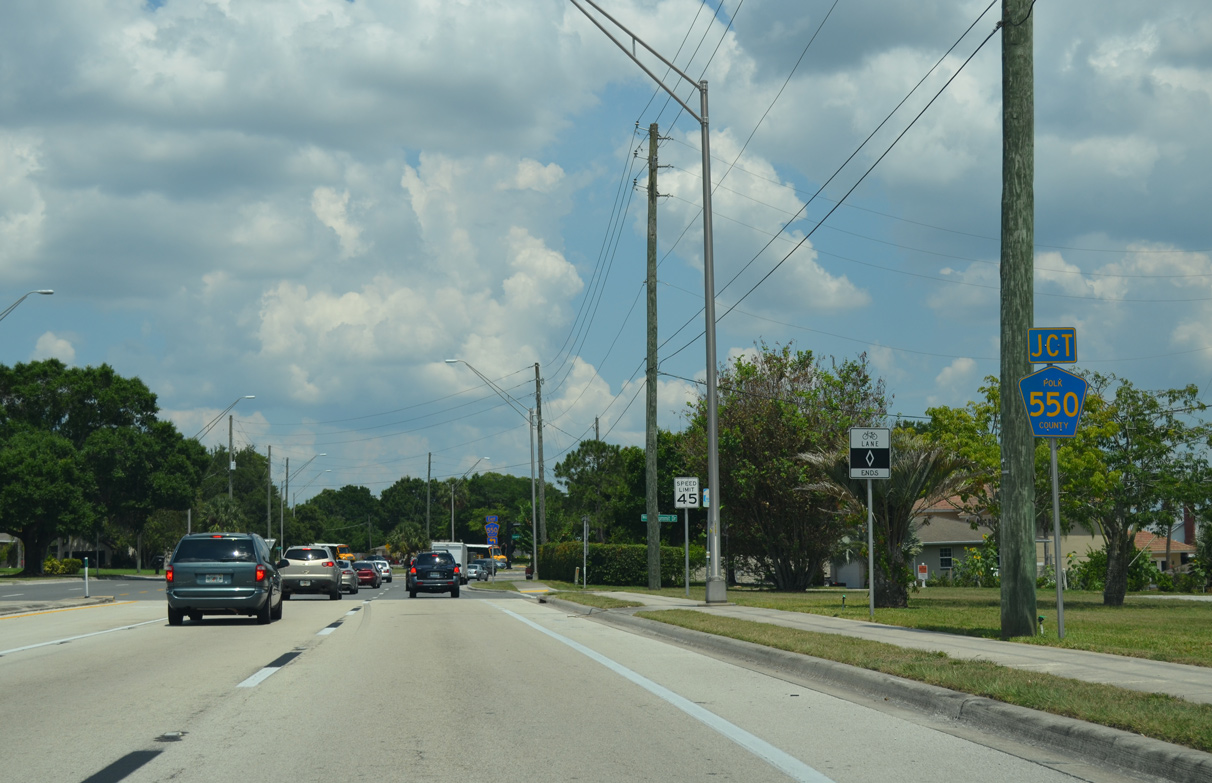
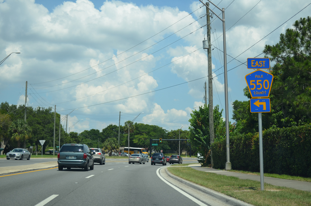
CR 550 (Overlook Drive) branches northeast from SR 540 near Lake Florence.
05/31/16
A 2.83 mile long major collector through residential areas of Cypress Gardens, CR 550 links SR 540 with SR 542 (Dundee Road) in east Winter Haven.
05/31/16
Overlook Drive is unmarked as CR 550 eastbound.
05/31/16
Curving southward from CR 550 (Overlook Drive), SR 540 (Cypress Gardens Boulevard) passes between Lake Summit and Lake Florence.
05/31/16
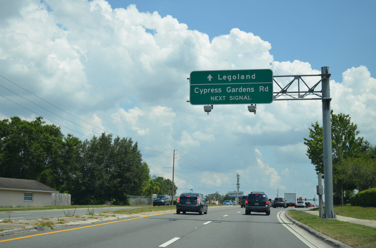
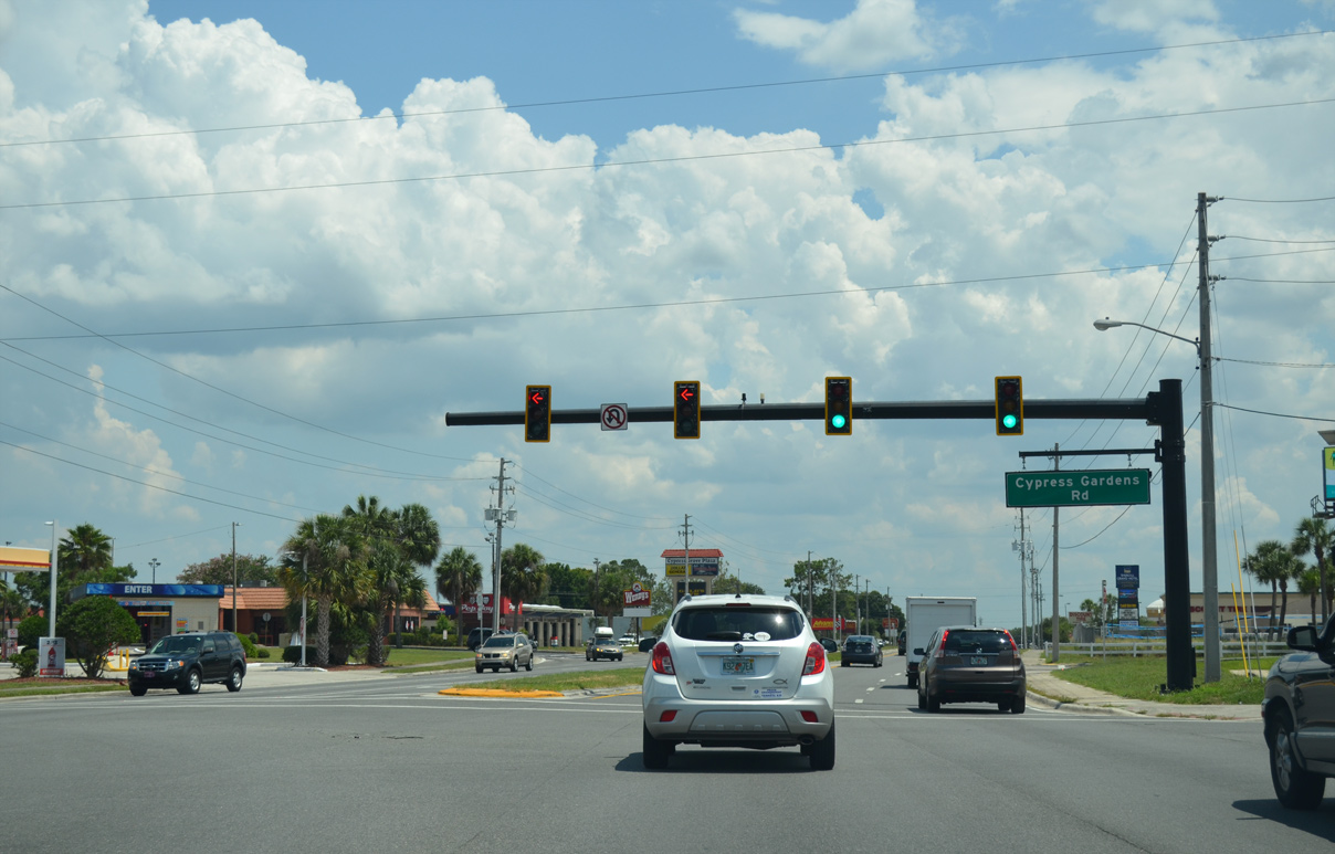
SR 540 reenters Winter Haven ahead of Cypress Gardens Road and Legoland theme park.
05/31/16
Historically part of SR 540A and later SR 540, Cypress Gardens follows a stair stepped route 2.94 miles southeast to SR 540 (Cypress Gardens Boulevard) across from CR 540A (W Lake Ruby Drive).
05/31/16
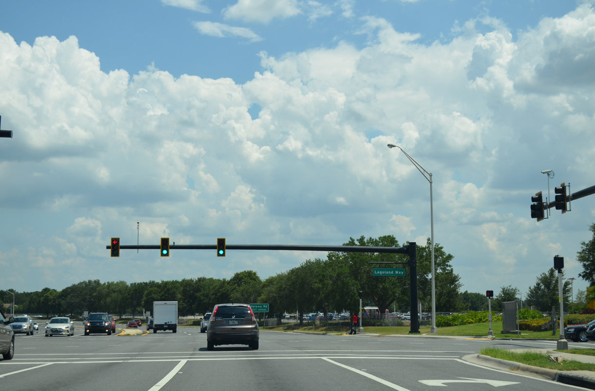
Legoland Way is the main entrance to Legoland theme park, located west of SR 540 along Lake Eloise.
05/31/16
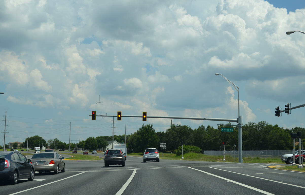
Helena Road is a major collector leading 1.47 miles south from Cypress Gardens Boulevard by Legoland to CR 540A (Eloise Loop Road) near Lake Gross.
05/31/16
FDOT recorded 33,000 vehicles per day along SR 540 (Cypress Gardens Boulevard) at Helena Road in 2023.
05/31/16
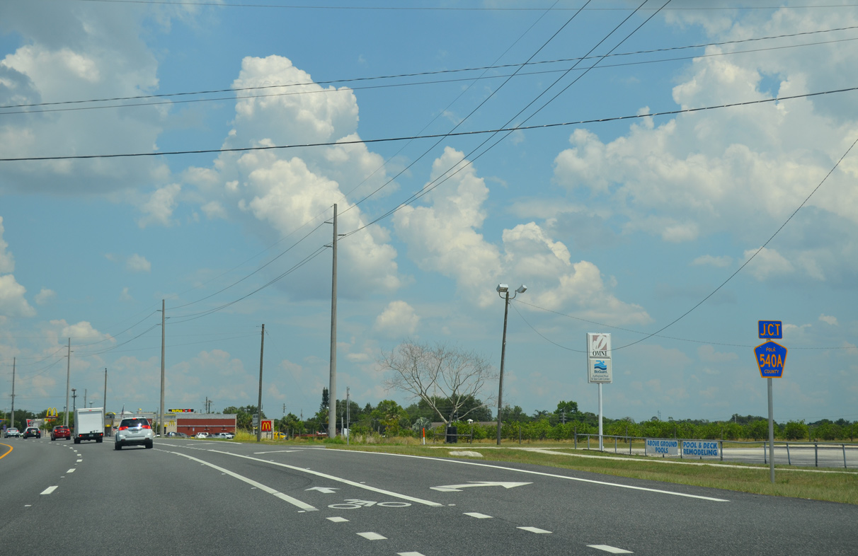
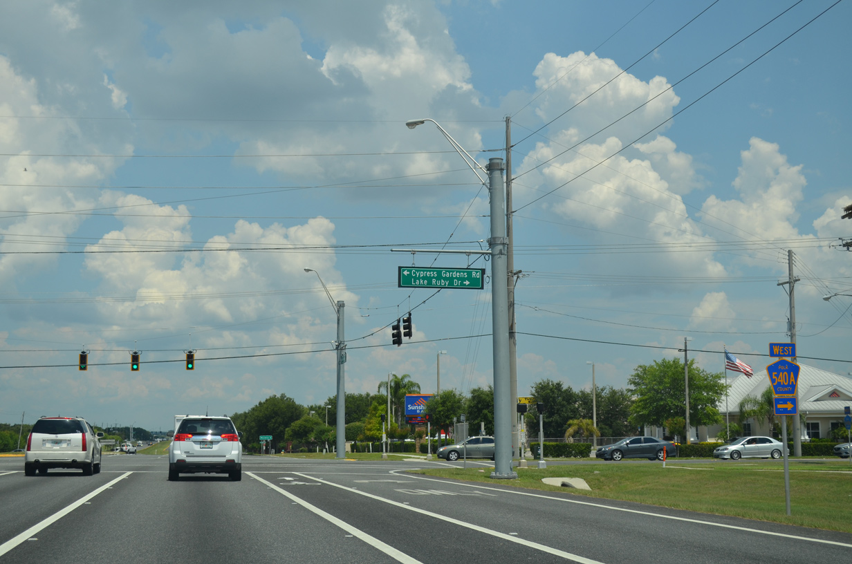
CR 540A (W Lake Ruby Drive) encircles Lake Ruby north from Thompson Nursery Road to conclude at SR 540 across from Cypress Gardens Road.
05/31/16
CR 540A follows a circuitous route west from southern reaches of Winter Haven past Lake Winterset and Lake Eloise to CR 655 (Rifle Range Road).
05/31/16
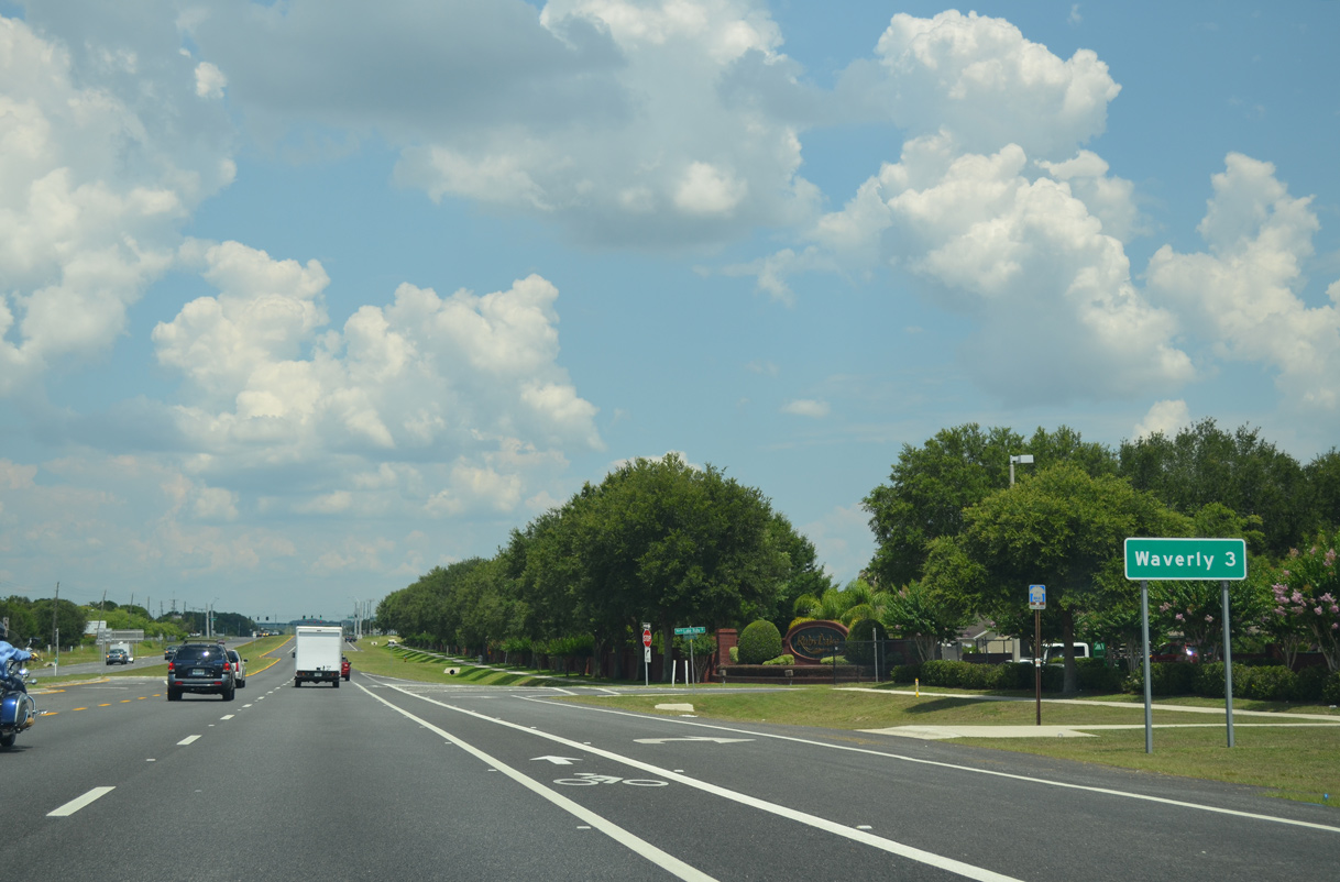
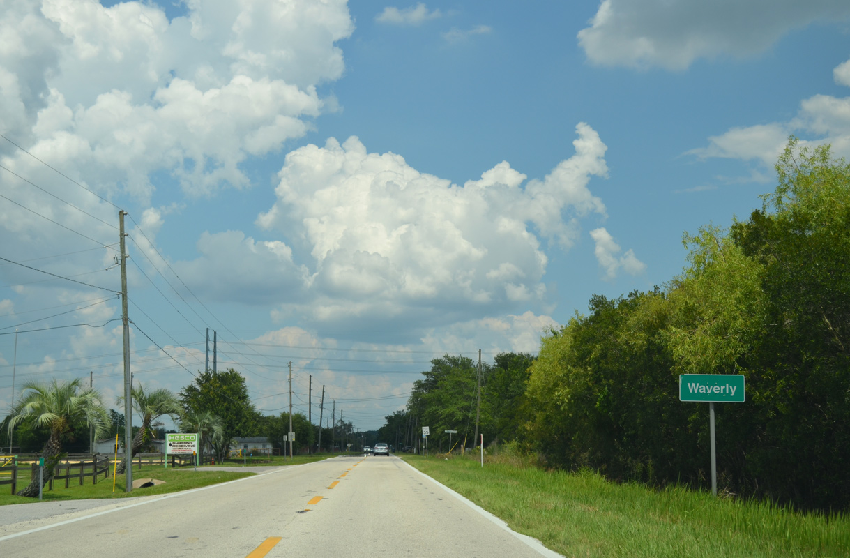
N Lake Ruby Drive, the historic alignment of SR 540, intersects Cypress Gardens Boulevard by this distance sign posted 2.8 miles from the census designated place of Waverly.
05/31/16
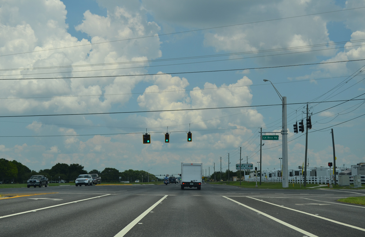
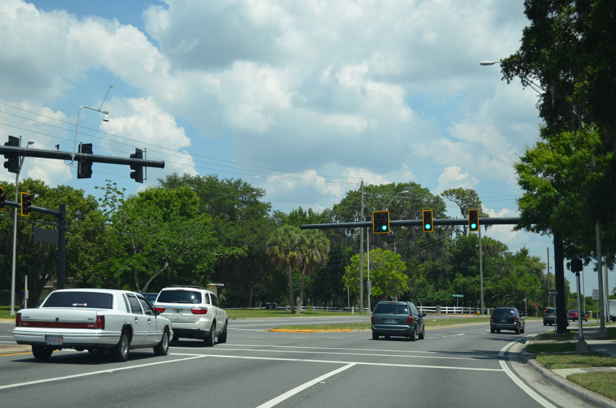
The succeeding traffic light on SR 540 (Cypress Gardens Boulevard) east is at Lake Bess Road south and E Lake Fox Road north.
05/31/16
The ensuing traffic lights operate for adjacent retail and the former State Farm office complex.
05/31/16

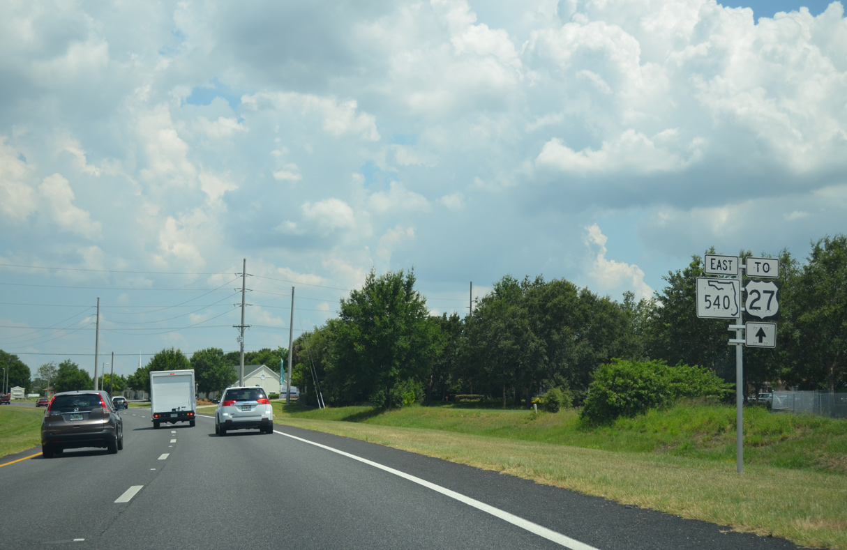
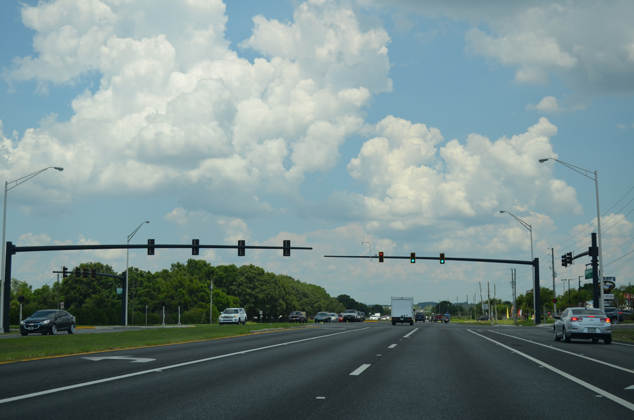
SR 540 traverses an area of wetlands ahead of Peace Creek Drainage Canal and U.S. 27.
05/31/16

U.S. 27 is a six lane arterial stretching south to SR 60 at Lake Wales and north to SR 50 at Clermont.
05/31/16
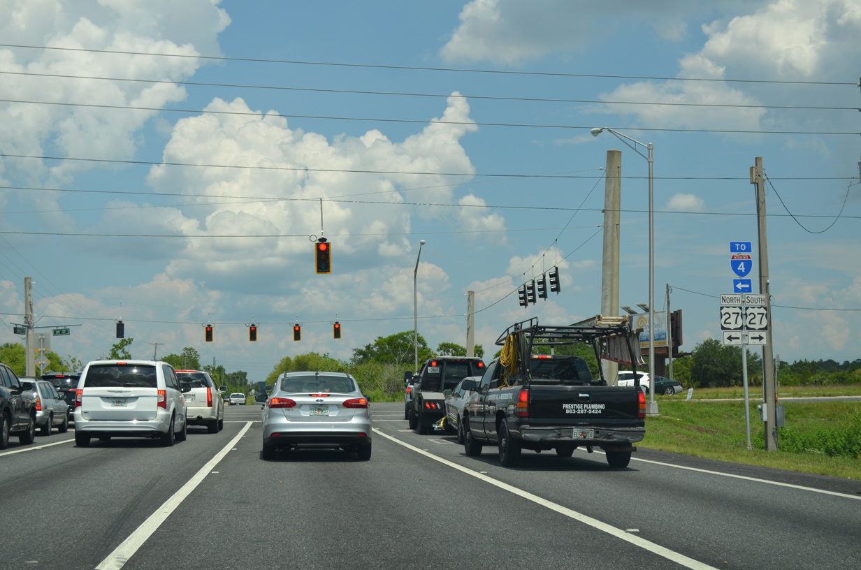
U.S. 27 generally bypasses the city centers of Lake Wales and Haines City between Sebring and Four Corners. SR 540 becomes CR 540 along Waverly Road 2.29 miles east to Waverly and SR 17 (Scenic Highway).
05/31/16
 Waverly Road - East
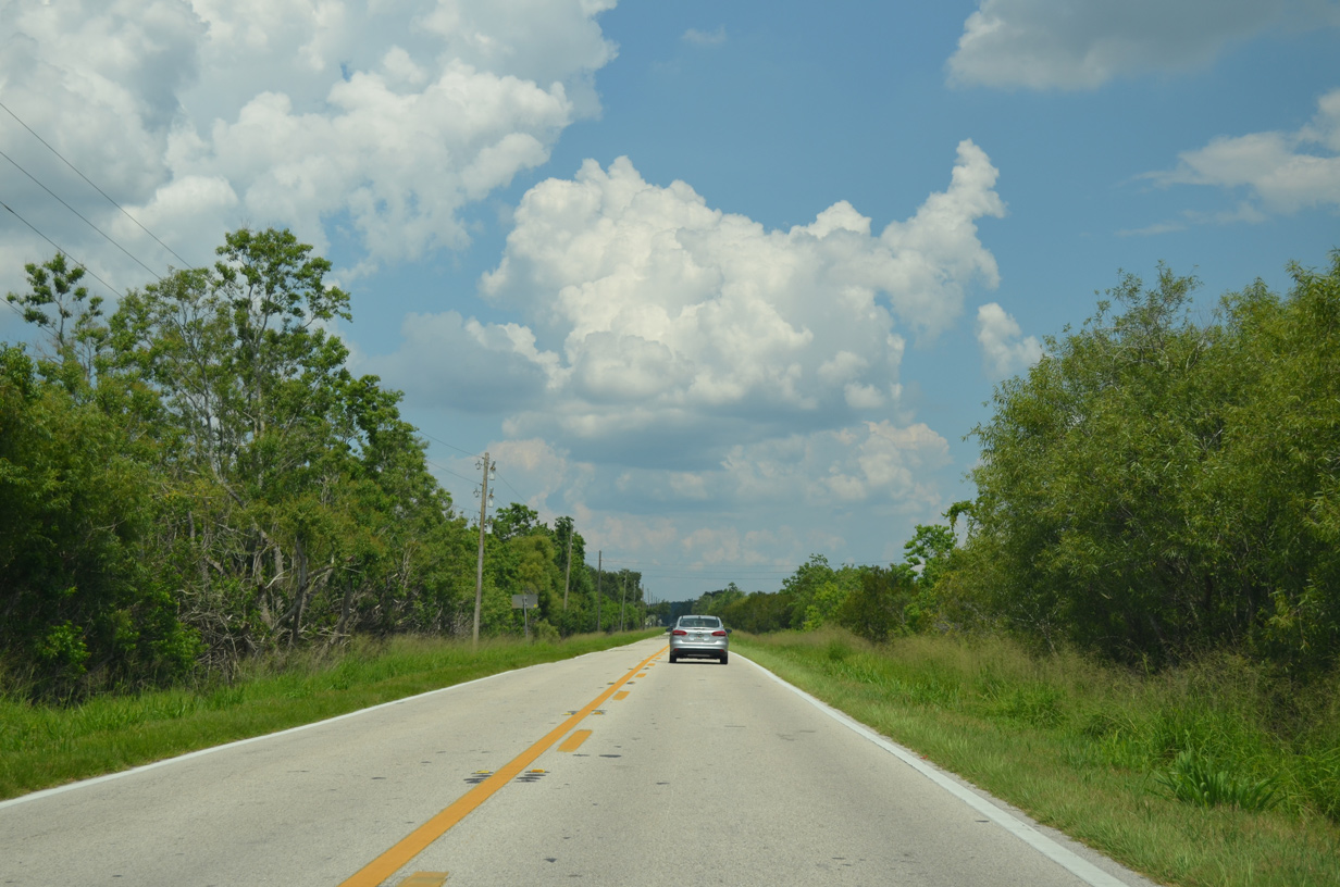
Waverly Road is unmarked as County Road 540 leading east from U.S. 27 and SR 540 (Cypress Gardens Boulevard).
05/31/16
The unincorporated community of Waverly lies north of the Lake Wales city line along CR 540 and Lake Annie.
05/31/16
CR 540 (Waverly Road) threads between Venus Lake and Lake Lee.
05/31/16
Orange groves spread across the hills rising north of Lake Wales along SR 17 (Scenic Highway).
05/31/16
CR 540 concludes at a T-intersection with SR 17 (Scenic Highway).
05/31/16
State Road 17 constitutes a Florida Scenic Highway as it meanders northward to Dundee and Haines City and south to Lake Wales, Highland Park and Frostproof.
05/31/16
References:
- 444050-1 US 17 at SR 540, SR 540 from US 17 to 1st Street and 1st Street South from SR 540 to Post Avenue. Florida Department of Transportation (FDOT), District 1 project web page. Accessed May 9, 2024.
Photo Credits:
- Alex Nitzman: 05/31/16
- Brent Ivy: 04/26/14, 05/03/24
Connect with:
Page Updated Thursday May 09, 2024.