
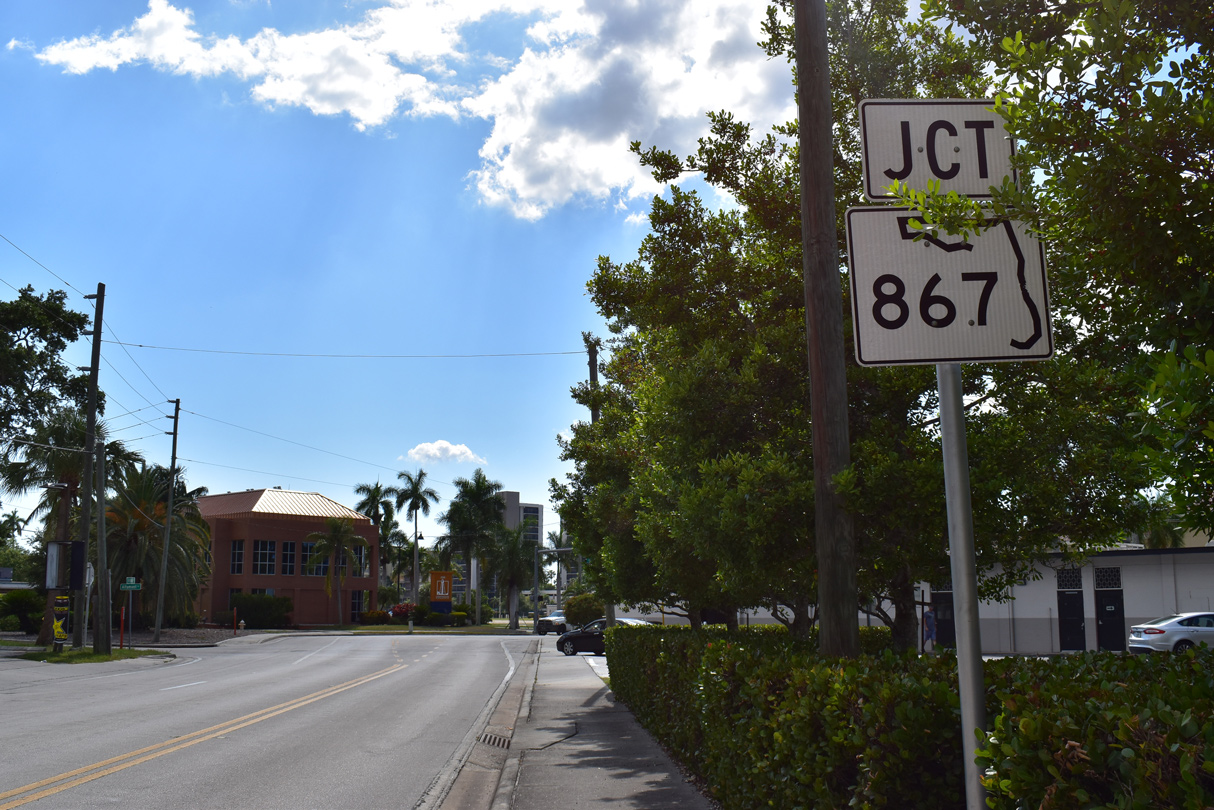
State Road 867 / County Road 867 - South
 South
South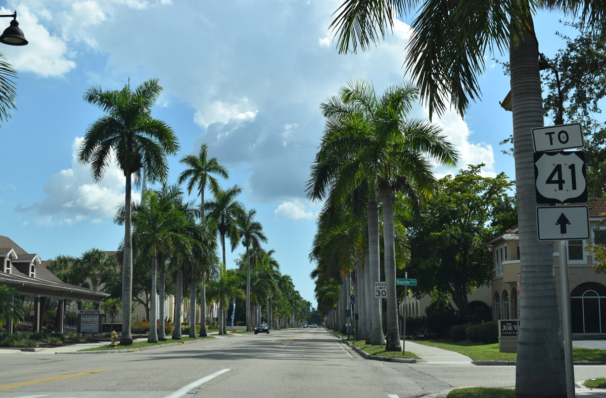
Traffic from Main Street (SR 80) and Dr. Martin Luther King, Jr. Boulevard (SR 82) combines at U.S. 41 (Cleveland Avenue) to form McGregor Boulevard (former SR 867) southbound ahead of Bayside Parkway.
05/19/19
A trailblazer at Clifford Street previously directed motorists from McGregor Boulevard south onto Victoria Avenue east for U.S. 41. It was removed after 2011.
07/07/11
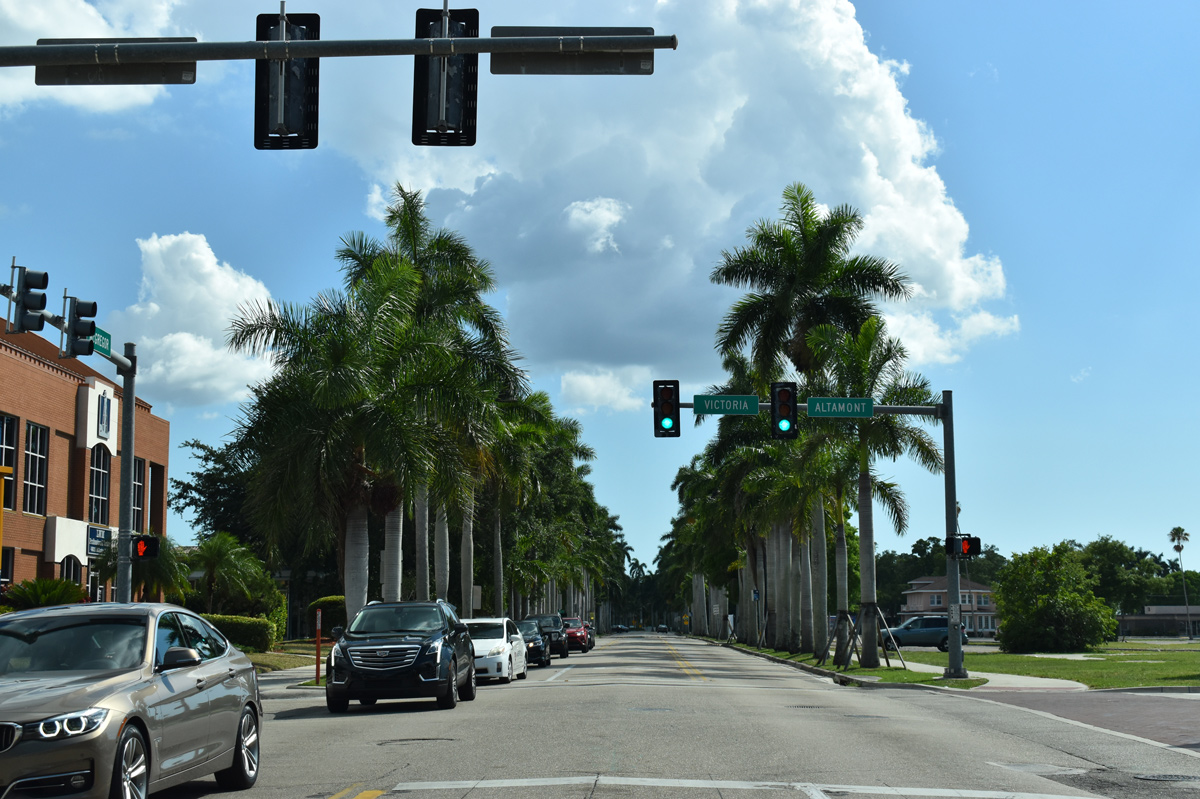
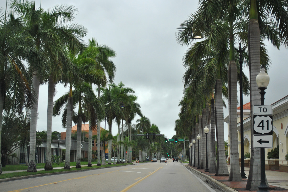
Victoria Avenue links with U.S. 41 (Cleveland Avenue). Altamont Avenue stems northwest to nearby parallel West First Street.
05/19/19
Victoria Avenue was the signed connection from U.S. 41 (Cleveland Avenue) north to SR 867 along McGregor Boulevard.
05/19/19
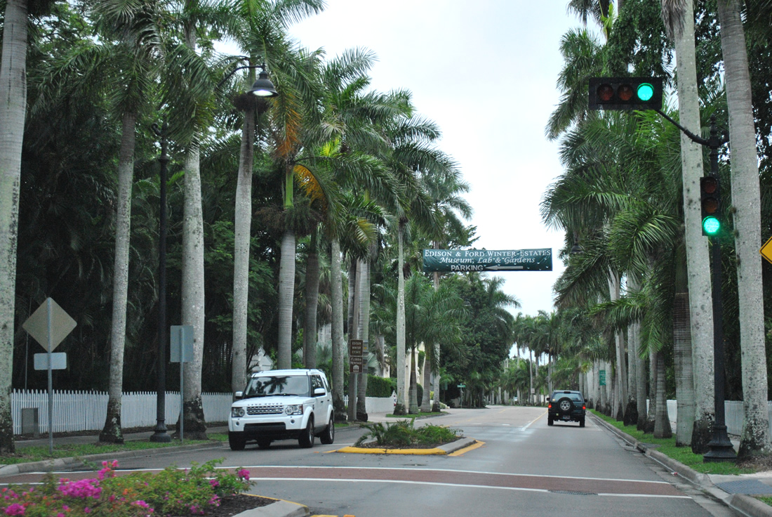
A signalized crosswalk operates at the historic Edison-Fort Winter Estates. McGregor Boulevard passes between the famous inventor's homes and laboratory. Open to the public daily, visitors can take guided tours to both the Edison and Ford winter homes and gardens. The Edison winter estate was opened to the public in 1950, with Henry Ford's former estate opening for public view 40 years later.
07/07/11
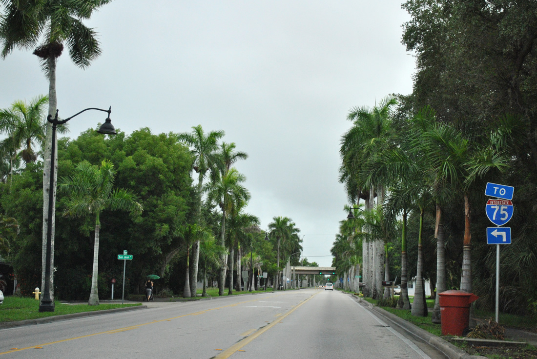
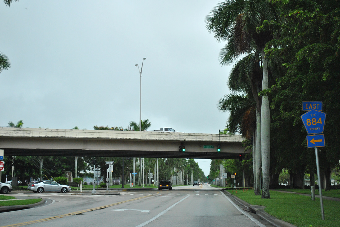
Advancing through residential Fort Myers, McGregor Boulevard approaches the partial interchange with CR 884 (Colonial Boulevard). CR 884 east transitions into SR 884 at U.S. 41 (Cleveland Boulevard) en route toward Interstate 75.
07/07/11
CR 884 was extended west of McGregor Boulevard across the Caloosahatchee River via the Midpoint-Memorial bridge into Cape Coral in 1997. A major corridor linking Cape Coral, Fort Myers, and Lehigh Acres, collectively CR 884 and SR 884 stretches 37.6 miles across Lee County.
07/07/11
South
SR 867 south begins at Lee County Road 884 east of the Midpoint Bridge across the Caloosahatchee River.
07/07/11
Royal Palm Square Boulevard runs along the south side of the Royal Palm Square retail complex east from McGregor Boulevard to CR 869 (Summerlin Road).
07/07/11
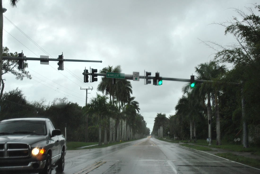
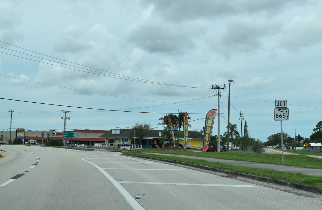
Beyond Whiskey Creek, Winkler Road branches south from SR 867 toward College Parkway. Winkler Road also connects with CR 865 and CR 869 en route to Estero Bay Preserve State Park.
07/07/11
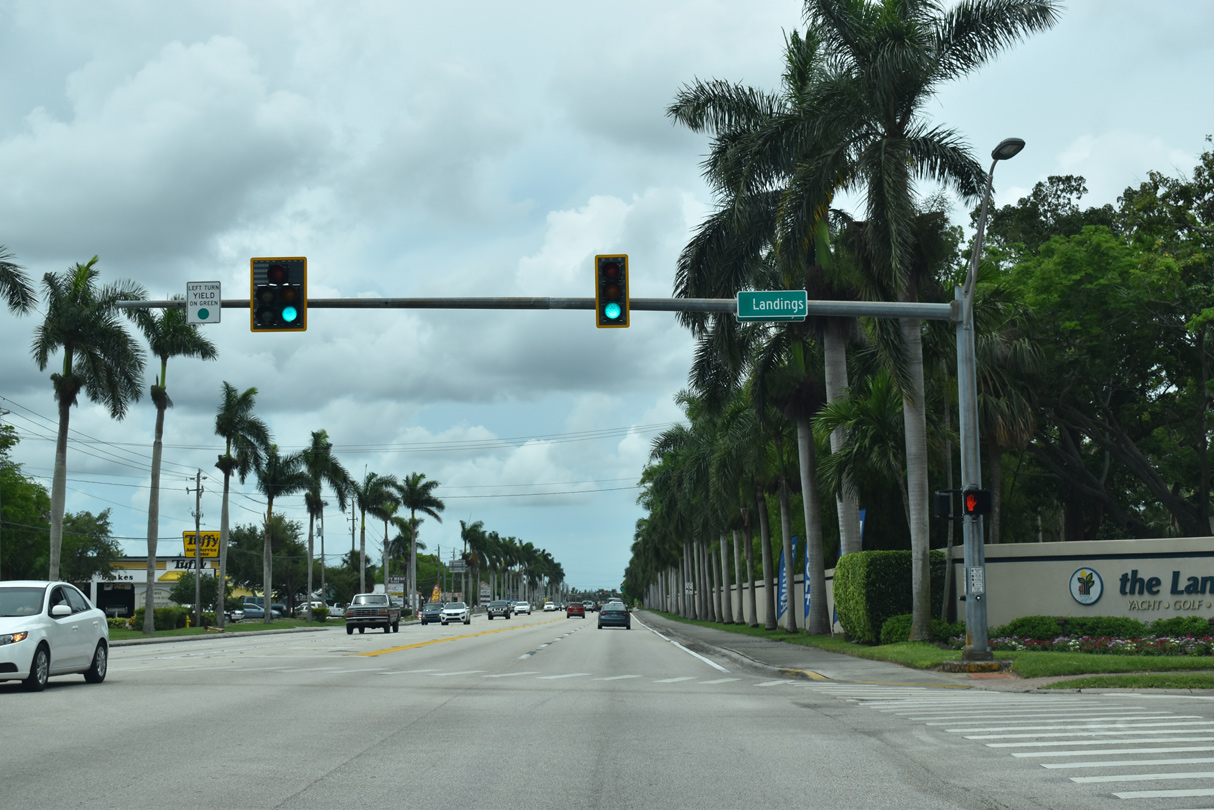
Continuing south from College Parkway, SR 867 (McGregor Boulevard) intersects Camelot Drive east and the entrance to The Landings development along the Caloosahatchee River. Camelot Drive links SR 867 with South Pointe Boulevard.
05/19/18
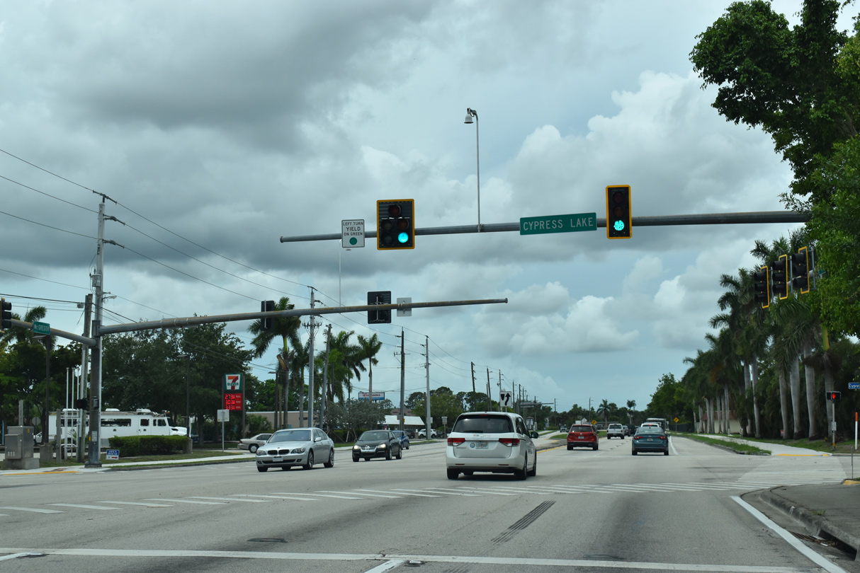
Cypress Lake Drive (unsigned CR 876) extends east to CR 869 (Summerlin Road) and U.S. 41 (Tamiami Trail). East of Tamiami Trail, the county road becomes Daniels Parkway toward Interstate 75, Southwest Florida International Airport (RSW) and Lehigh Acres.
05/19/18
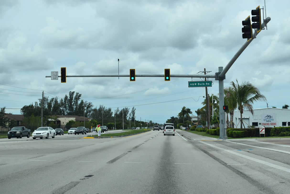
SR 867 (McGregor Boulevard) shifts more westerly east of Deep Lagoon, intersecting A & W Bulb Road south to CR 865 (Gladiulus Drive) near Harlem Heights.
05/19/18
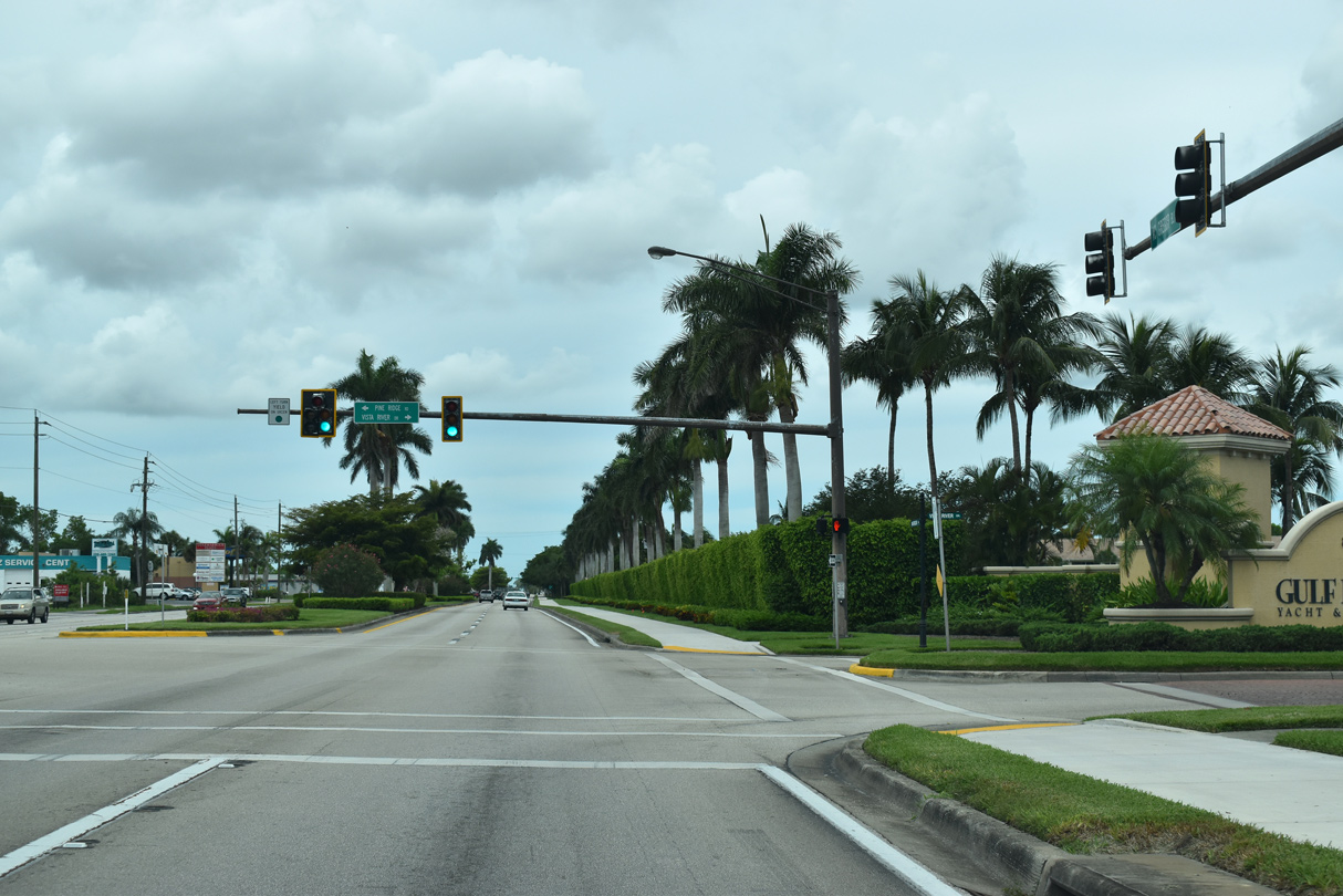
Acting as a bypass for the often busy SR 865 (San Carlos Boulevard), Pine Ridge Road stems south from SR 867 to SR 865 beyond the SPUI with CR 869 (Summerlin Road). Vista River Drive is the main entrance to Golf Harbour, a higher end residential subdivision along McGregor Boulevard. Once home to thriving tomato fields, the area grew with single family dwellings and a pristine golf course.
05/19/18

SR 867 (McGregor Boulevard) intersects Iona Road before turning south to meet CR 865/SR 865. Iona Road extends 2.8 miles west through the Iona area to end west of Davis Road at the entrance to St. Charles Yacht Club.
05/19/18
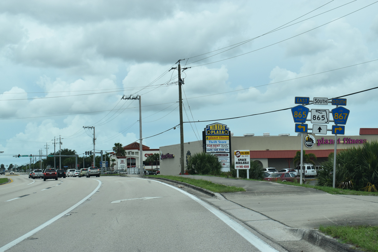
McGregor Boulevard curves south to Old McGregor Road and SR 865 at Gladiulus Drive. SR 867 followed Old McGregor Boulevard prior to the widening of McGregor Boulevard from SR 865 southwestward. Improvements then included realigning the arterial to meet San Carlos Boulevard behind Miners Plaza shopping center.
05/19/18
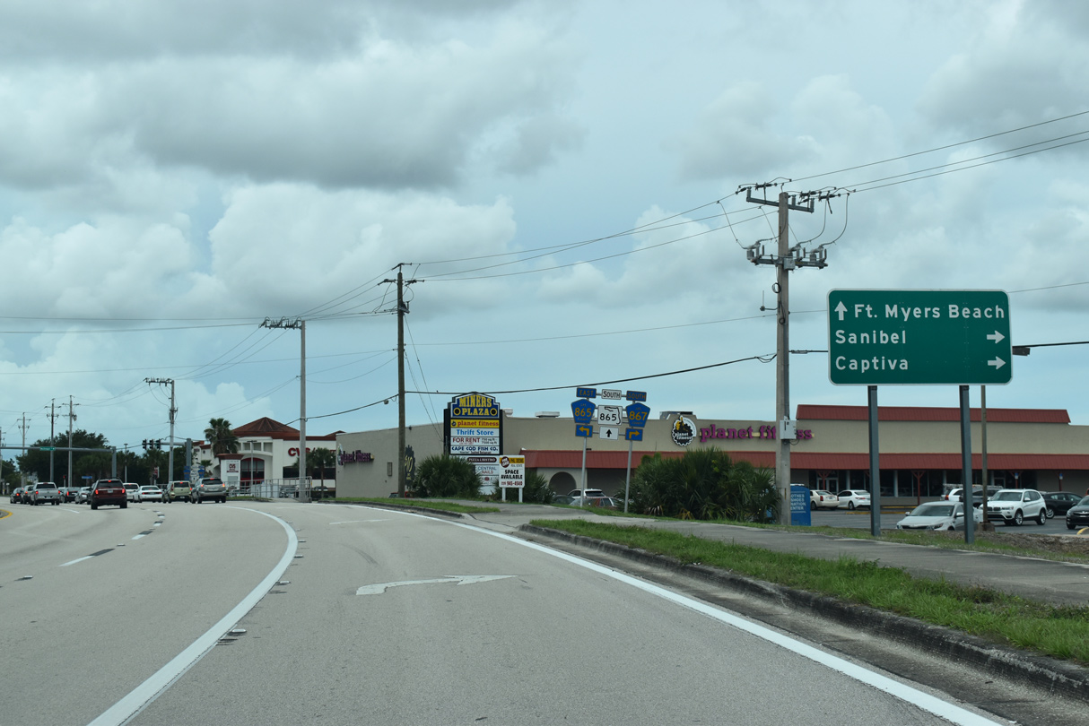
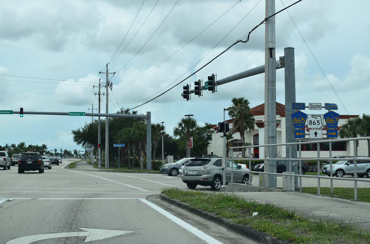
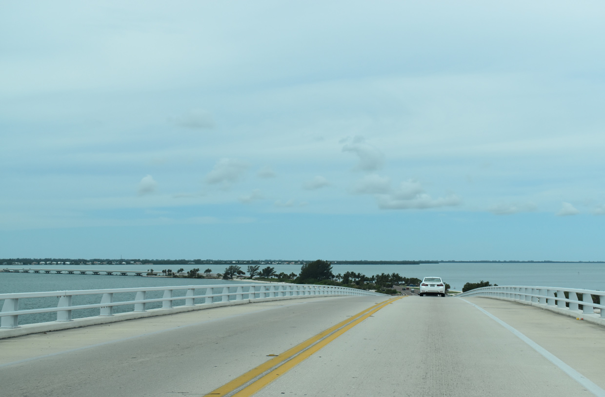
SR 865 (San Carlos Boulevard) travels south to San Carlos Island and Fort Myers Beach. McGregor Boulevard heads southwest as Lee County Road 867 to Sanibel Causeway for Sanibel and Captiva Islands.
05/19/18
CR 865 follows Gladiolus Drive to CR 869 (Summerlin Road) and U.S. 41, where SR 865 resumes. CR 865 extends 17 miles northeast through eastern sections of Fort Myers to SR 80 (Palm Beach Boulevard) at the community of Tice.
05/19/18
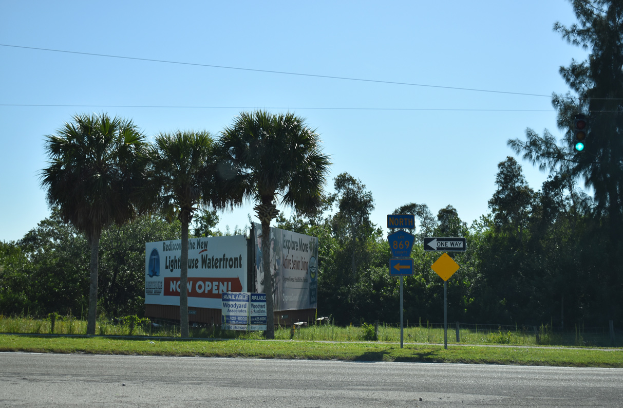
SR 865 follows San Carlos Boulevard 4.78 miles south from the end of SR 867 to Estero Boulevard, where CR 865 takes over southward to Lovers Key. CR 867 (McGregor Boulevard) angles southwest to Truckland.
05/19/18
 South
South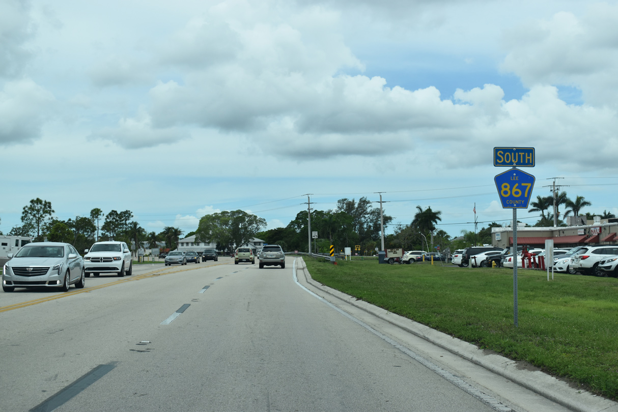
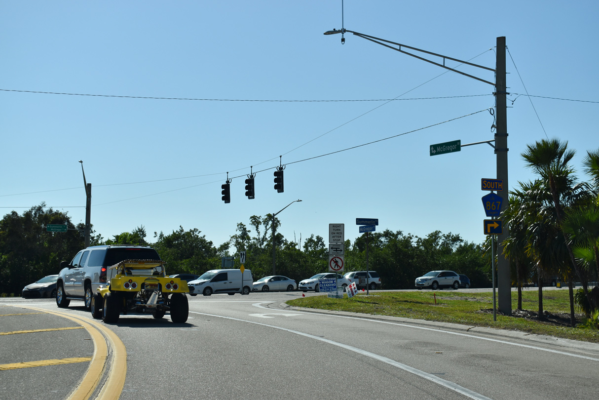
Confirming marker for County Road 867 posted between San Carlos Boulevard (SR 865) and Old McGregor Road.
05/19/18
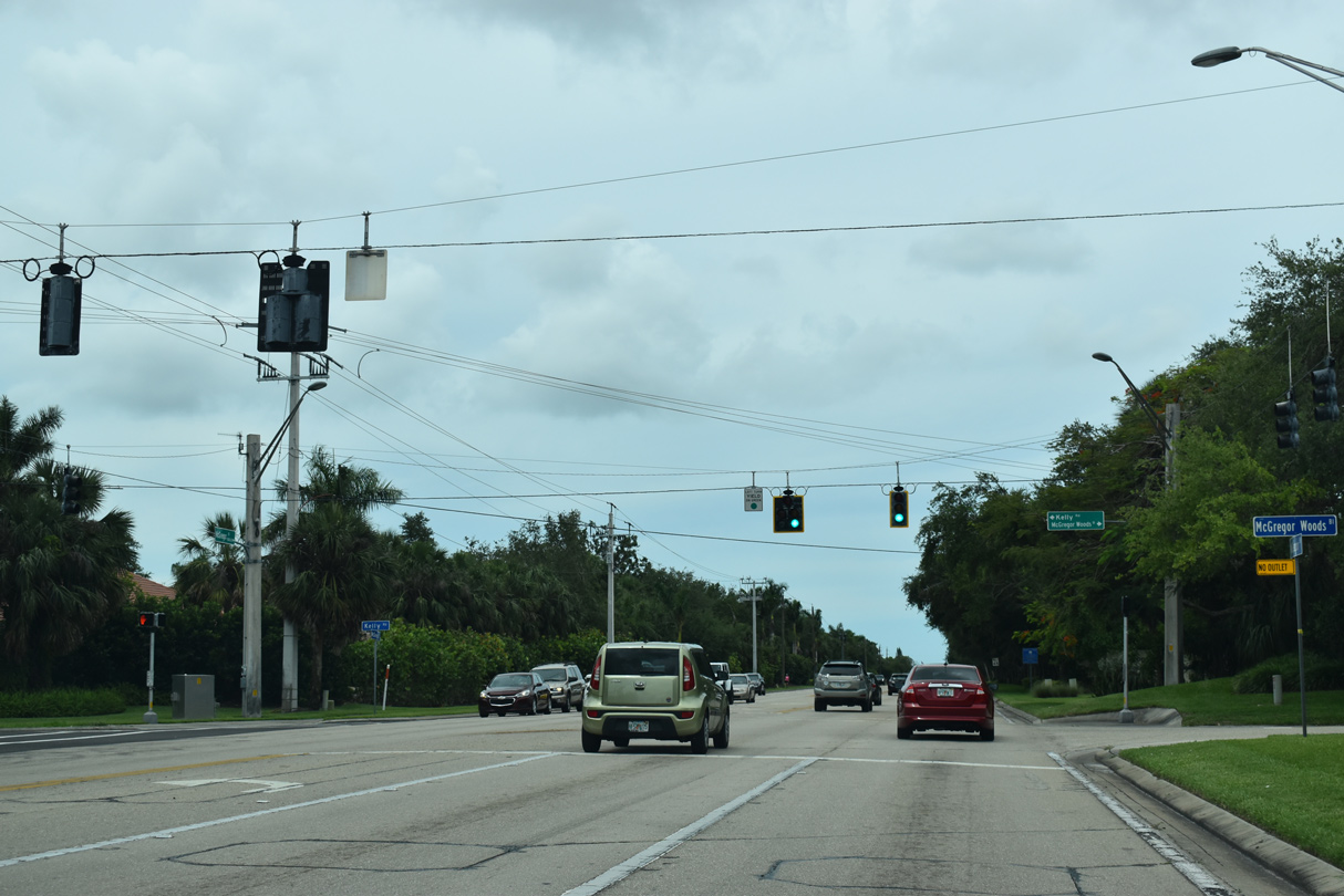
The succeeding traffic light along McGregor Boulevard south is with McGregor Woods Circle north and Kelly Road east.
05/19/18
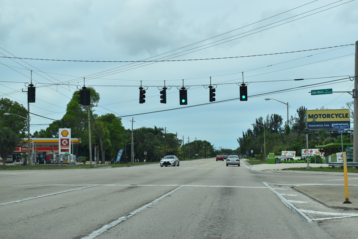
CR 867 south at John Morris Road in Truckland.
05/19/18

CR 867 (McGregor Boulevard) converges with CR 869 (Summrelin Road) beside the Sanibel Outlets center and San Carlos Bay Bunche Beach Preserve.
05/19/18
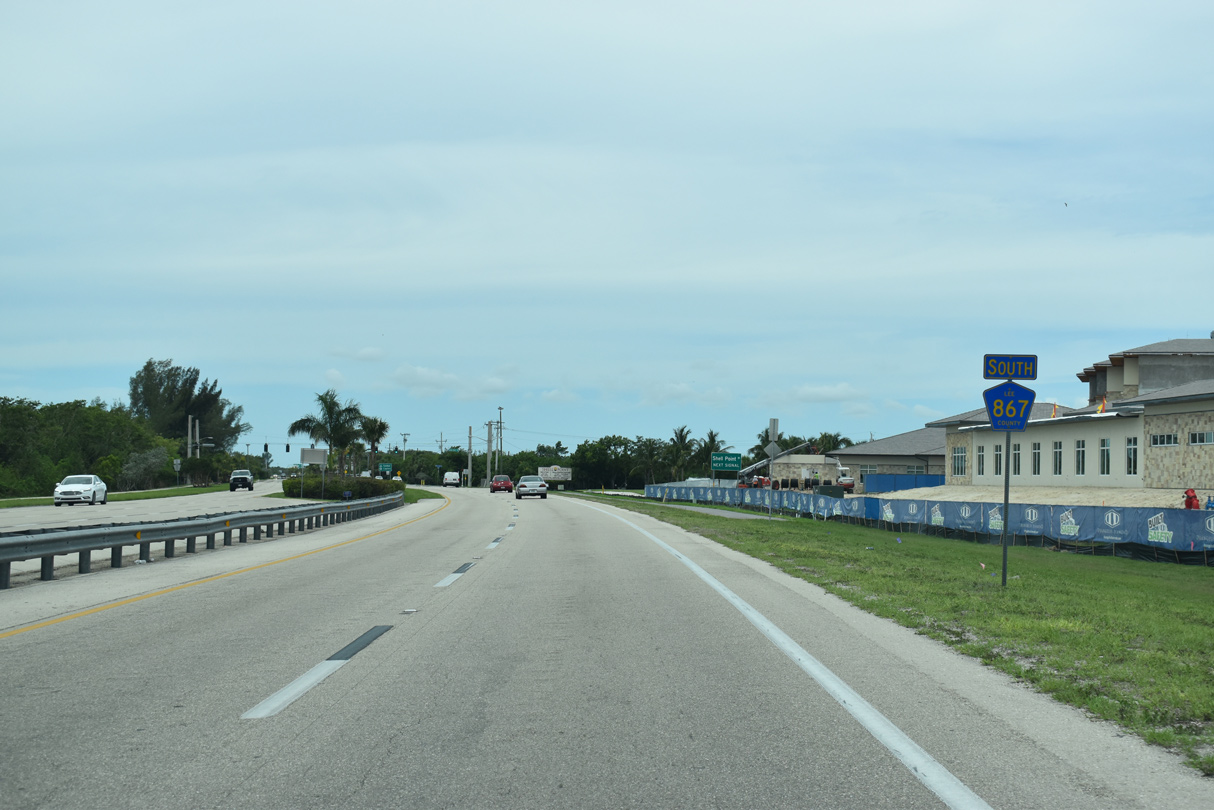
CR 867 overtakes the arterial route along CR 869 (Summerlin Road) west to Sanibel Causeway.
11/30/19
Summerlin Parkway (CR 869) heads east through suburban development six miles to Gladiulus Drive (CR 865).
11/30/19
Confirming marker posted west of CR 869 and ahead of Shell Point Boulevard north.
05/19/18
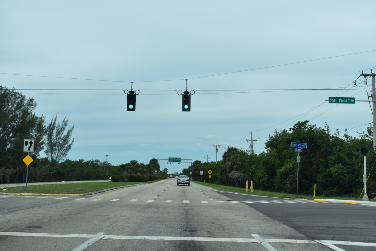
Shell Point Boulevard spurs northwest to a number of condominium developments and Shell Point Village.
05/19/18
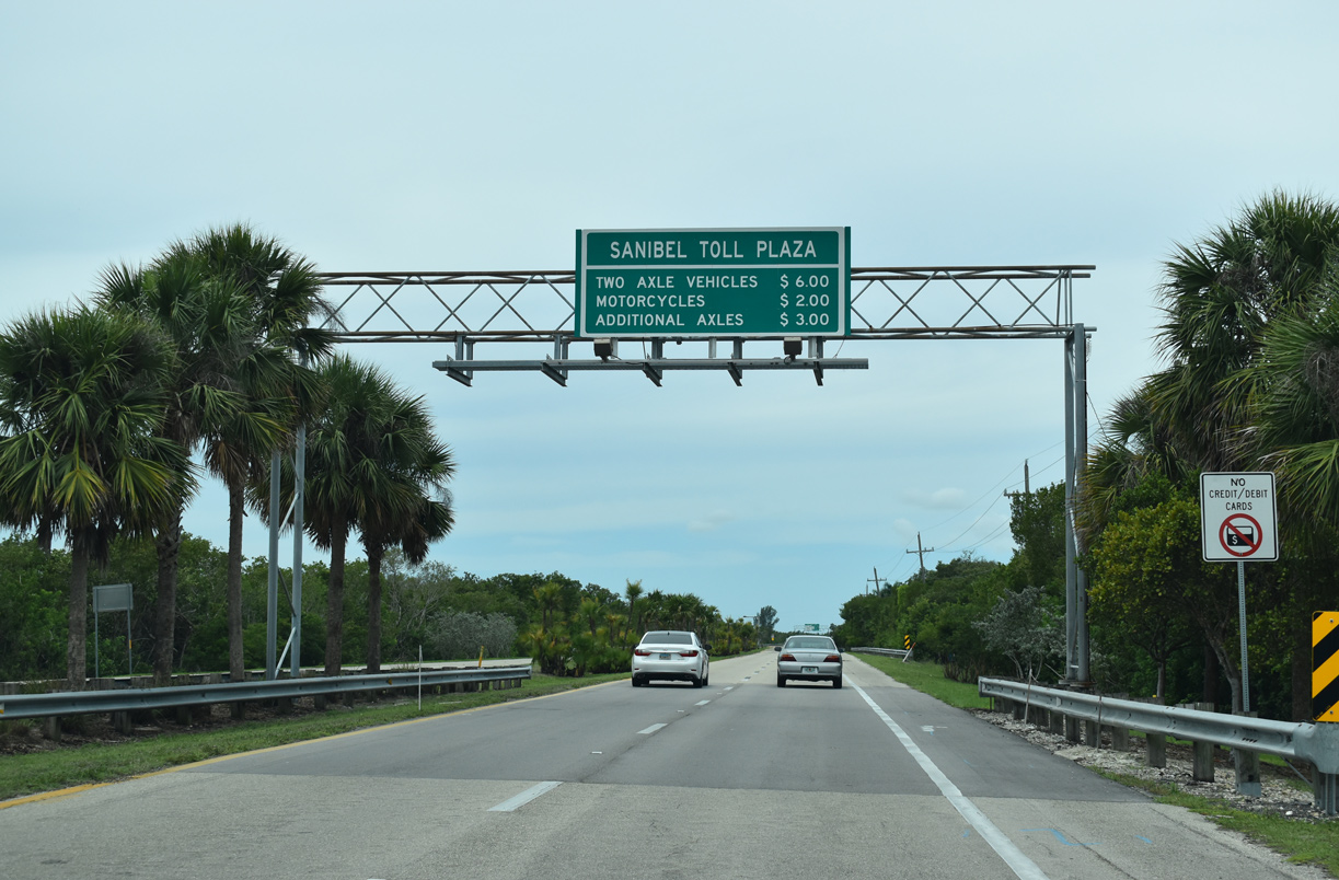
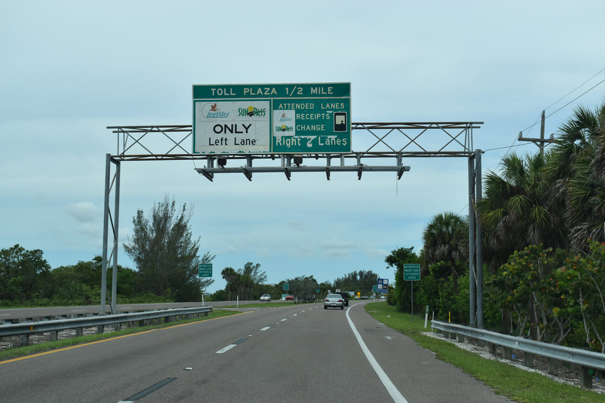
The first in a series of overheads for the Sanibel Toll Plaza appears just west of Shell Point Boulevard along CR 867 (McGregor Boulevard) southbound. Tolls for Sanibel Causeway doubled from $3 in 2004 to help cover the costs for new bridge spans across San Carlos Bay.
05/19/18
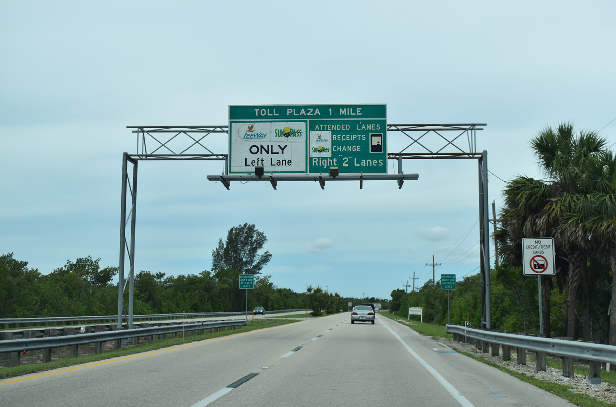
The Sanibel Toll Plaza accepts both Sunpass and LeeWay, Lee County's version of the electronic toll collection system. LeeWay offers annual and semi-annual discount programs for motorists crossing Sanibel Causeway.
05/19/18
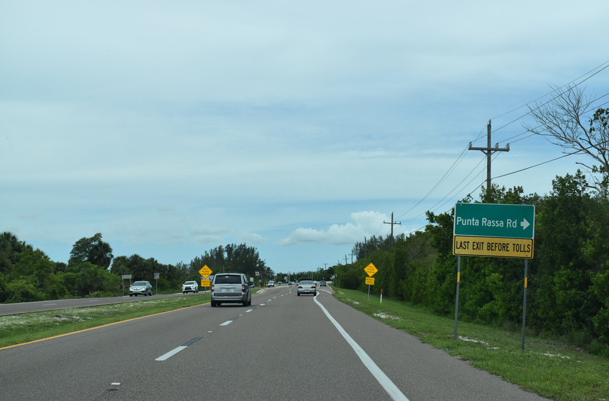
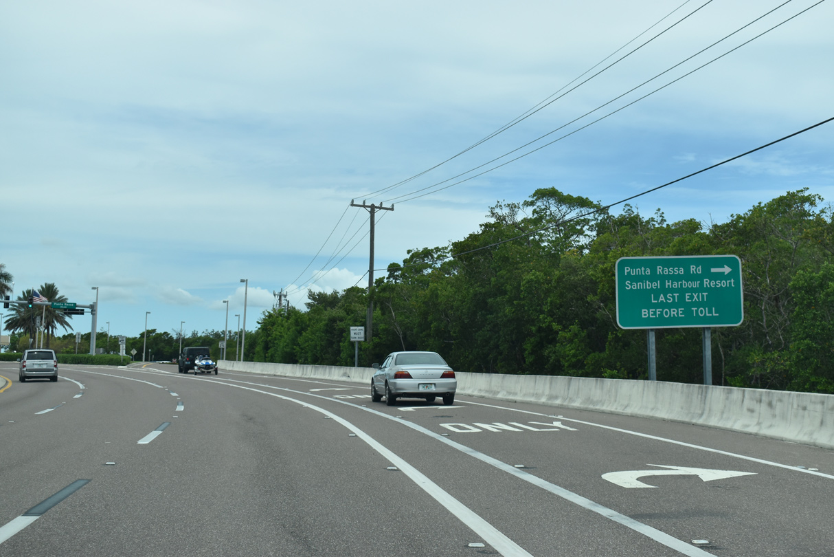
Punta Rassa Road branches north from McGregor Boulevard to the Sanibel Harbour Yacht Club resort just prior to the Sanibel Toll Plaza.
05/19/18
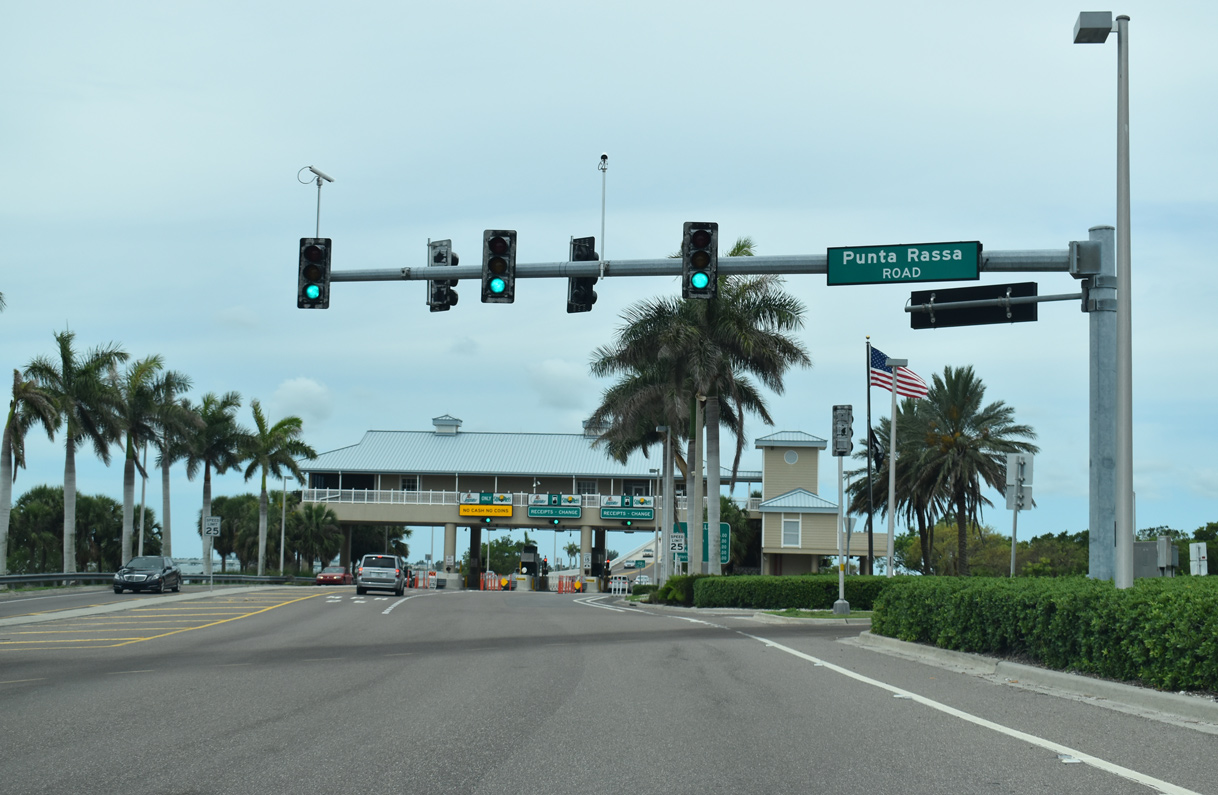
County Road 867 ends at Punta Rassa Road just prior to the Sanibel Toll Plaza.
05/19/18

The Sanibel Toll Plaza was upgraded as part of the overall construction to replace the bridge along Sanibel Causeway.
05/19/18
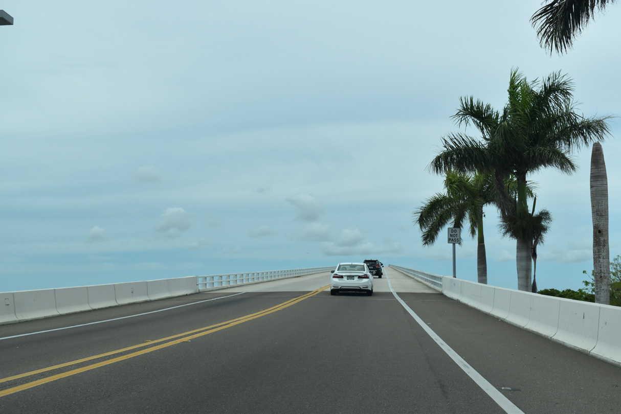
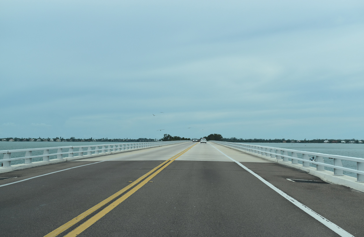
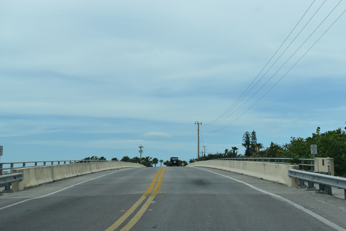
Opened in 2007, the Sanibel Causeway bridge system starts southbound with a high rise span at the mouth of the Caloosahatchee River.
05/19/18
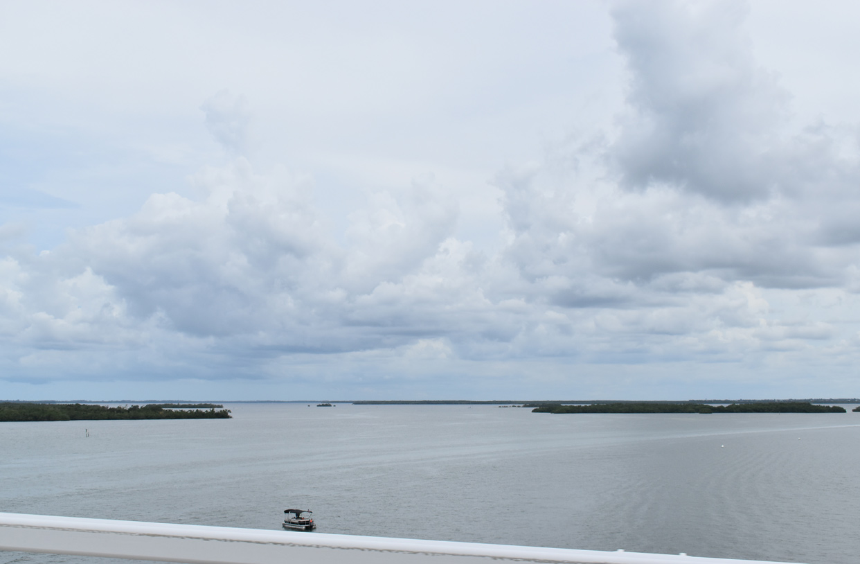
Fisherman Key, Kitchel Key and other small islands rise from San Carlos Bay to the north of the Sanibel Causeway high rise bridge.
05/19/18
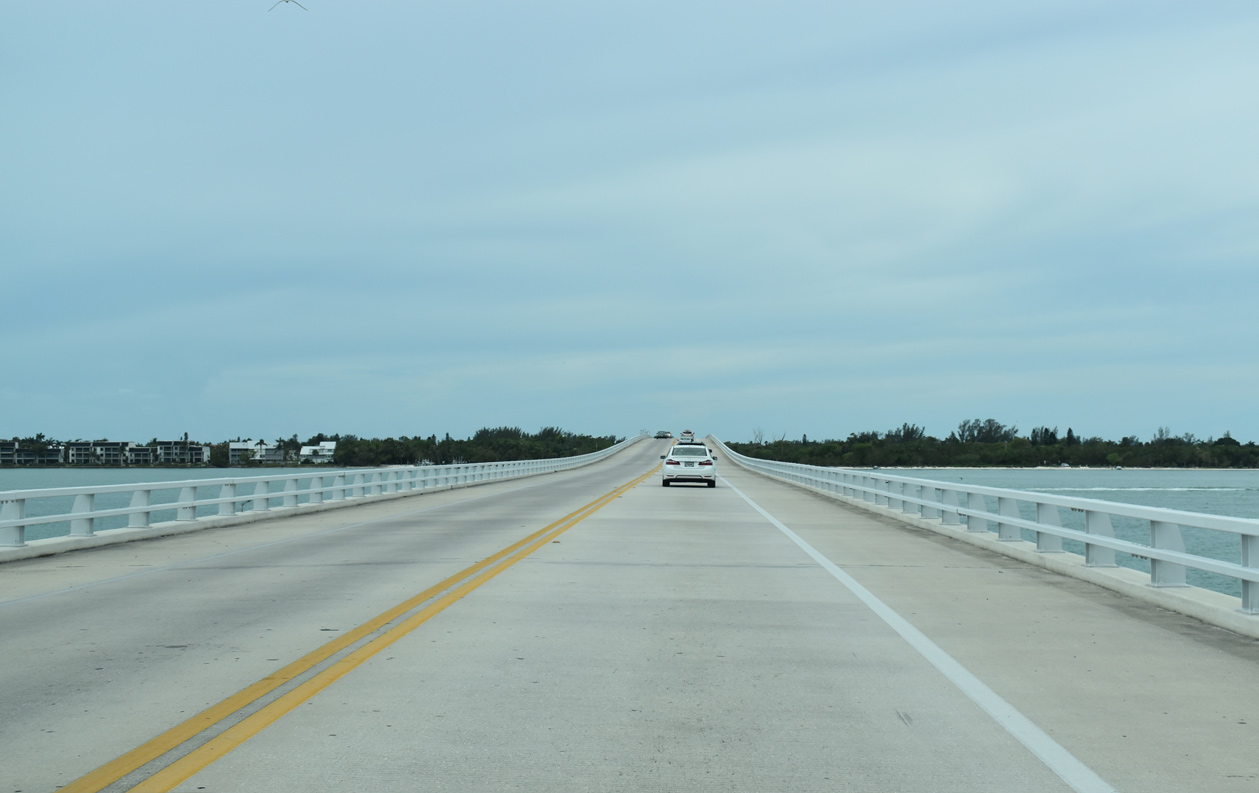
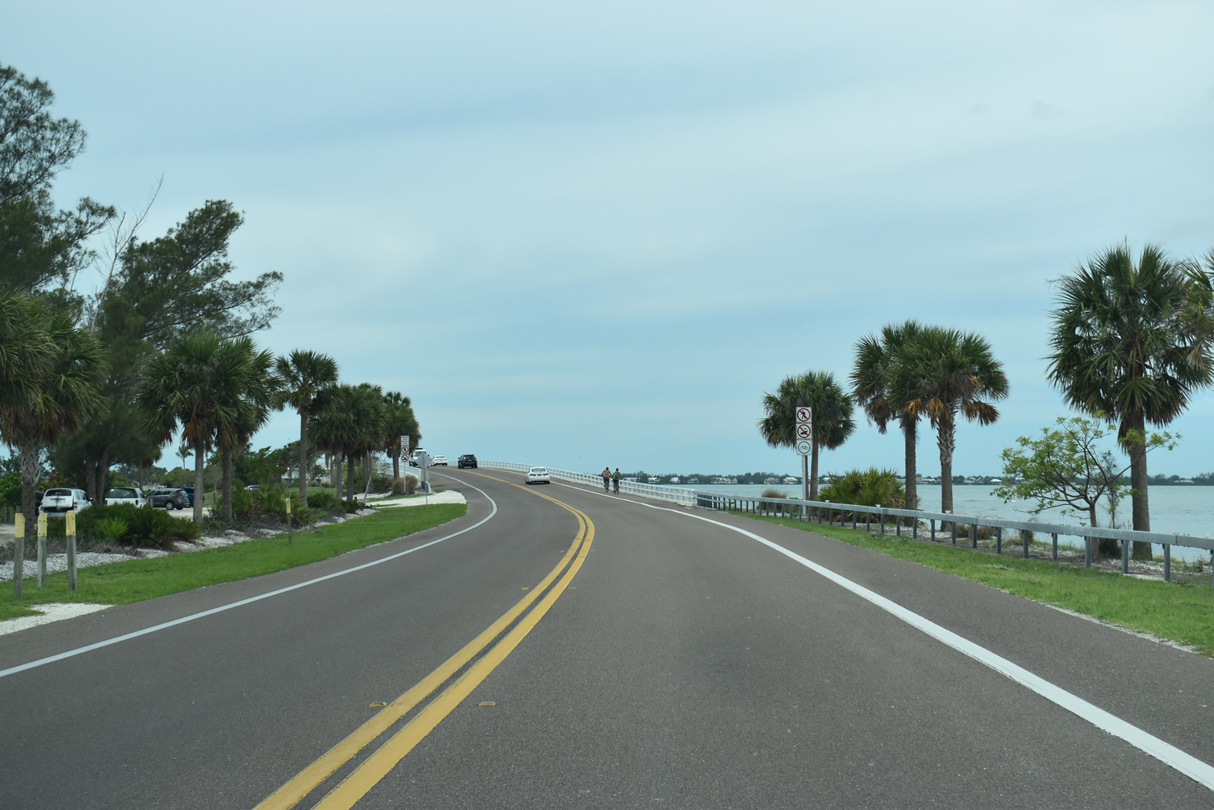
Sanibel Causeway lowers onto the first of two islands along the roadway system.
05/19/18
Both islands along Sanibel Causeway feature public use areas operated by the Lee County Parks & Recreation Department.
05/19/18
Sanibel Causeway passes through Causeway Islands Park - Island A ahead of the second bridge.
05/19/18
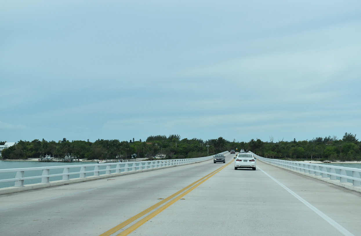
A low rise bridge connects Causeway Islands Park Island A with Island B.
05/19/18
The third bridge in the Sanibel Causeway system southbound leads onto Sanibel Island at Dixie Beach.
05/19/18
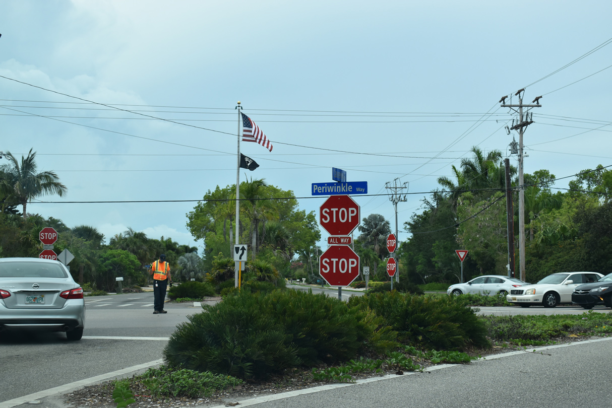
Causeway Boulevard intersects Periwinkle Way at a four way stop sign. Periwinkle Way spurs east to Lighthouse Beach Park and leads west to Sanibel-Captive Road for Captiva.
05/19/18
Periwinkle Way westbound after Causeway Boulevard / Sanibel Causeway.
05/19/18
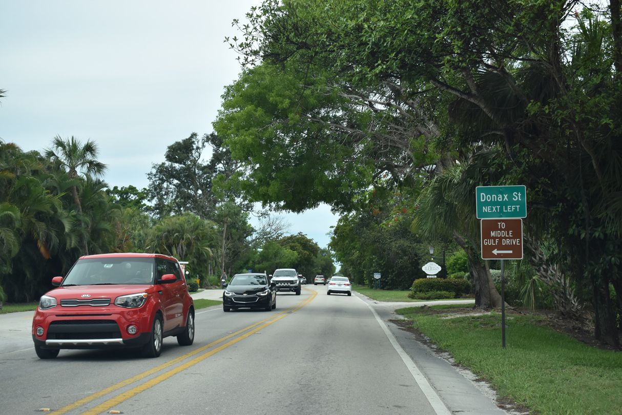
Periwinkle Way west at Donax Street south.
05/19/18
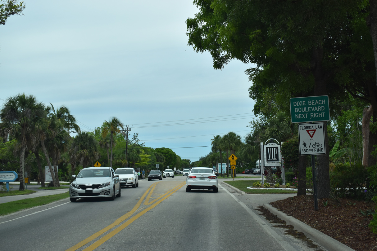
Dixie Beach Boulevard leads north to San Carlos Bay near Woodrings Point.
05/19/18
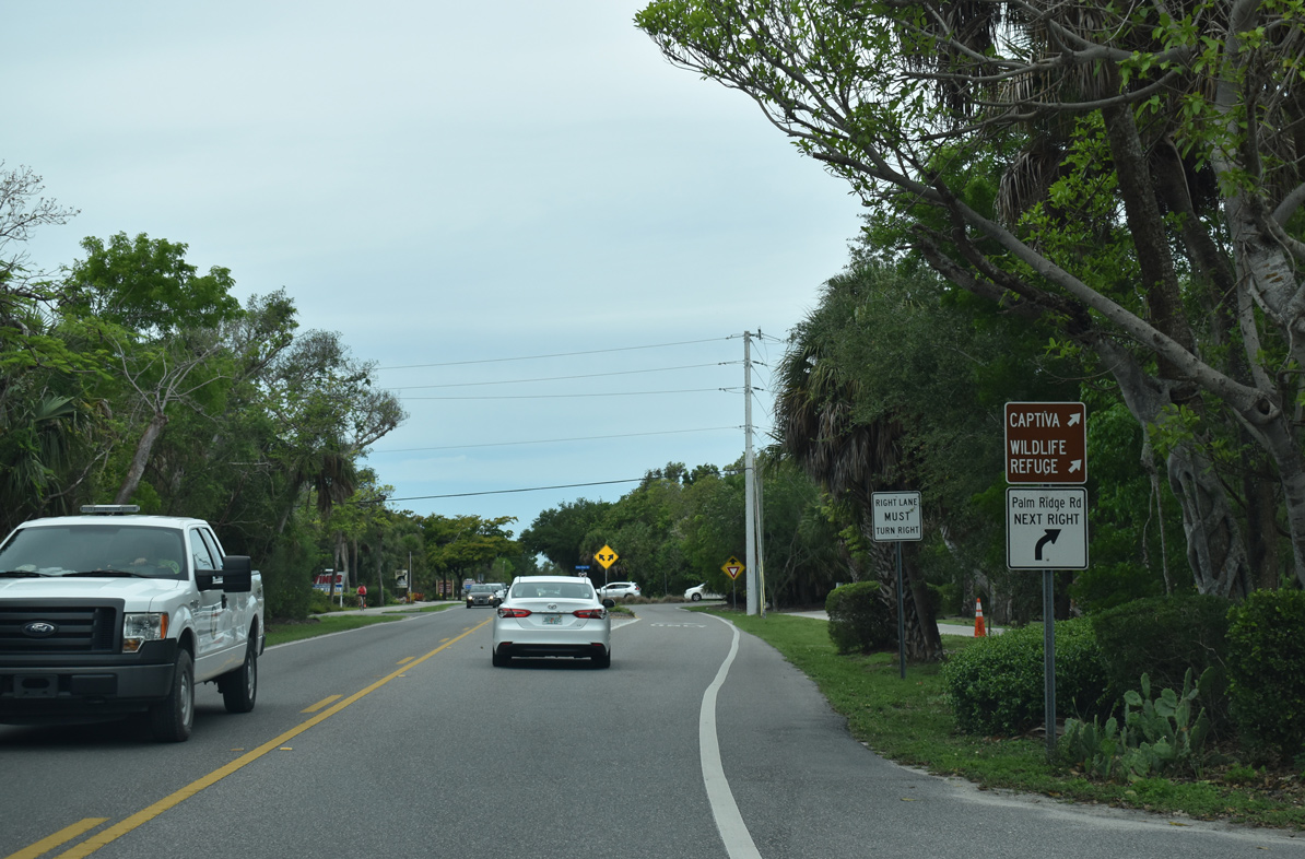
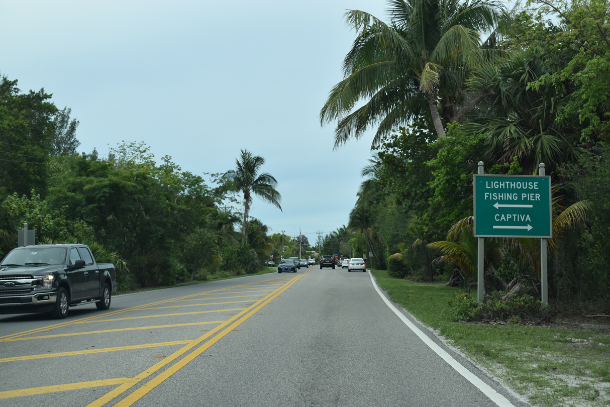
Palm Ridge Road links Periwinkle Way with Sanibel Captiva Road west to Wulfert and Captiva Island.
05/19/18
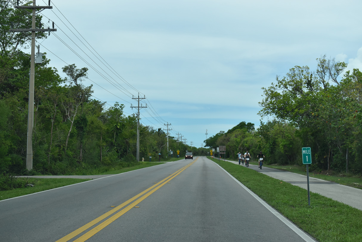
Mileposts are signed along Sanibel-Captiva Road. Milepost 1 precedes the turn off for the Sanibel-Captiva Conservation Foundation.
05/19/18
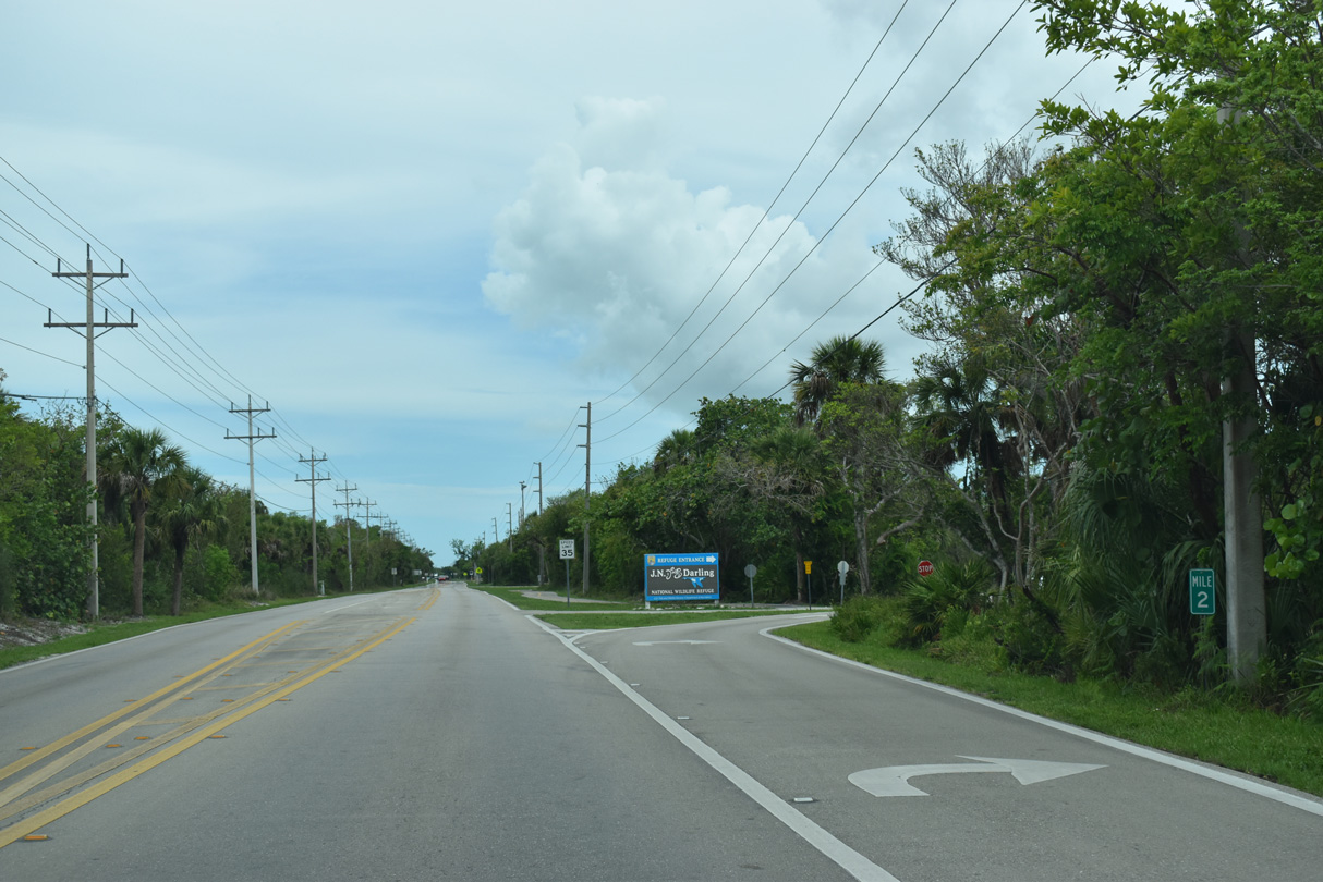
Milepost 2 stands at the entrance to the J.D. Ding Darling National Wildlife Refuge.
05/19/18
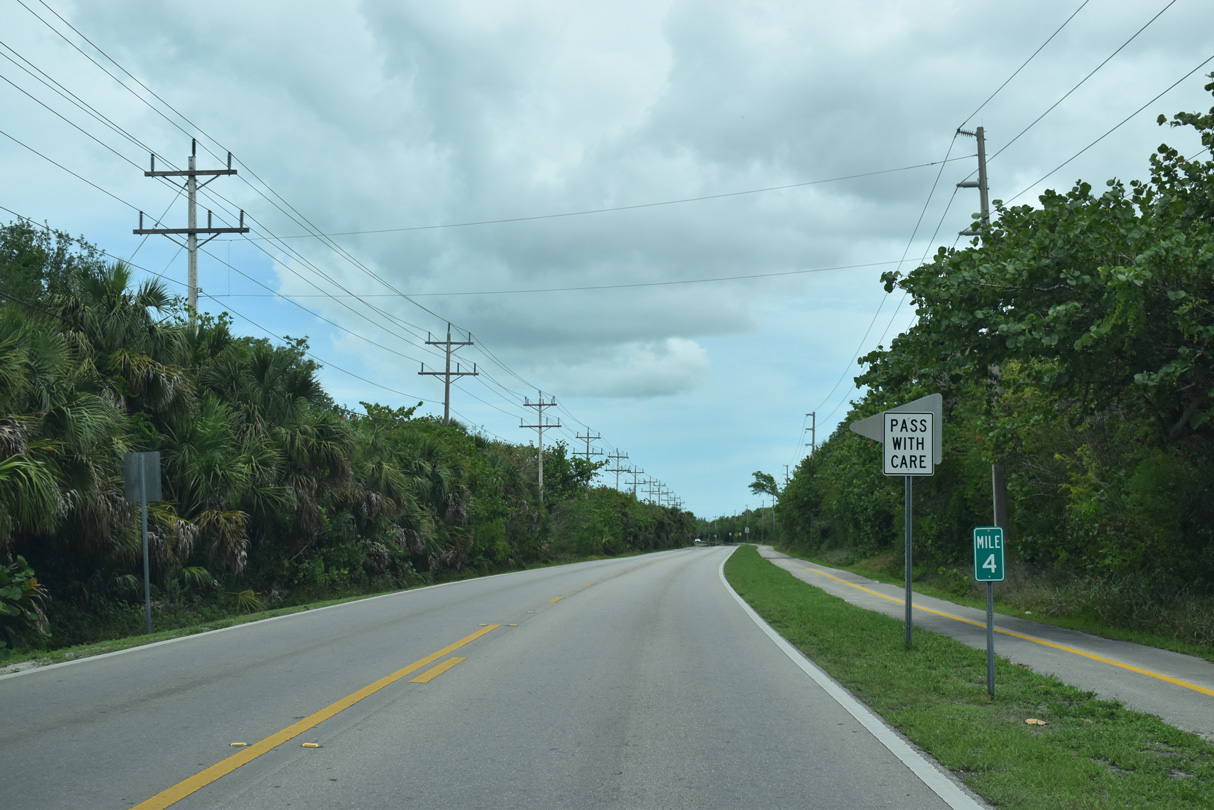
Sanibel-Captiva Road intersects Sea Spray Lane just ahead of milepost 4.
05/19/18
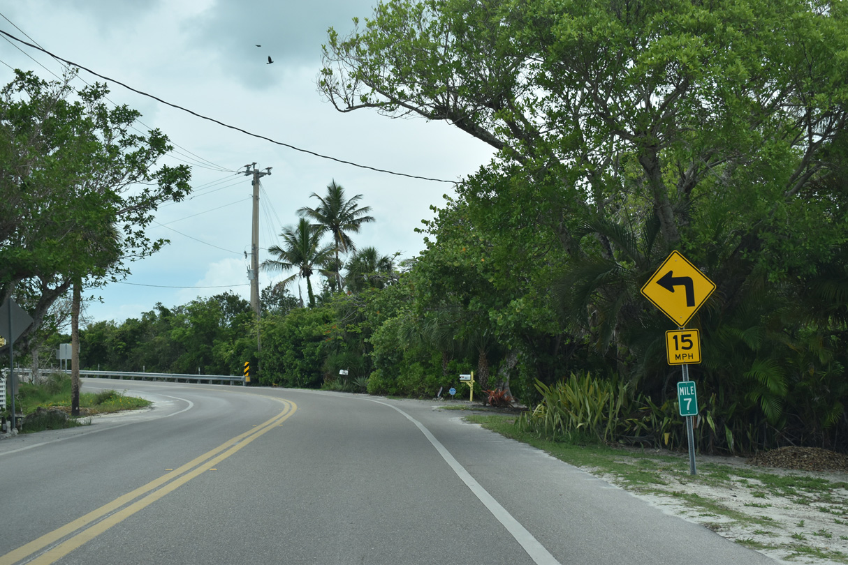
Sanibel-Captiva Road winds northward through Wulfert to Blind Pass Beach Park by milepost 7.
05/19/18
Spanning Blind Pass, Sanibel-Captiva Road reaches Captiva Island.
05/19/18
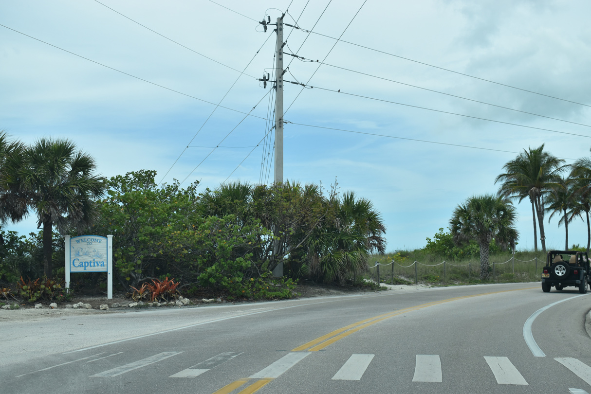
Captiva Drive continue the roadway northward through the unincorporated community of Captiva.
05/19/18
Photo Credits:
- ABRoads: 07/07/11, 05/19/18, 05/19/19
- Alex Nitzman: 11/30/19
Connect with:
Page Updated Monday December 02, 2019.