
State Road A1A North - Indialantic to Cape Canaveral
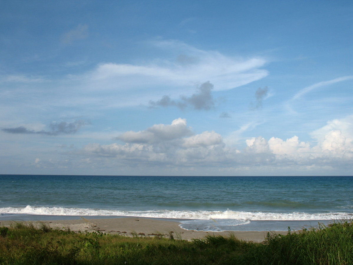
Paradise Beach - Melbourne, Florida. - 08/25/2007
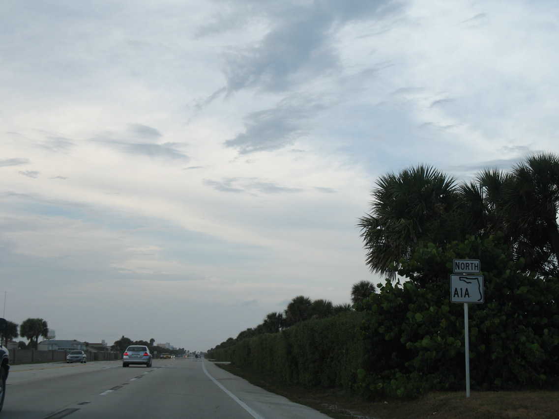
 North
North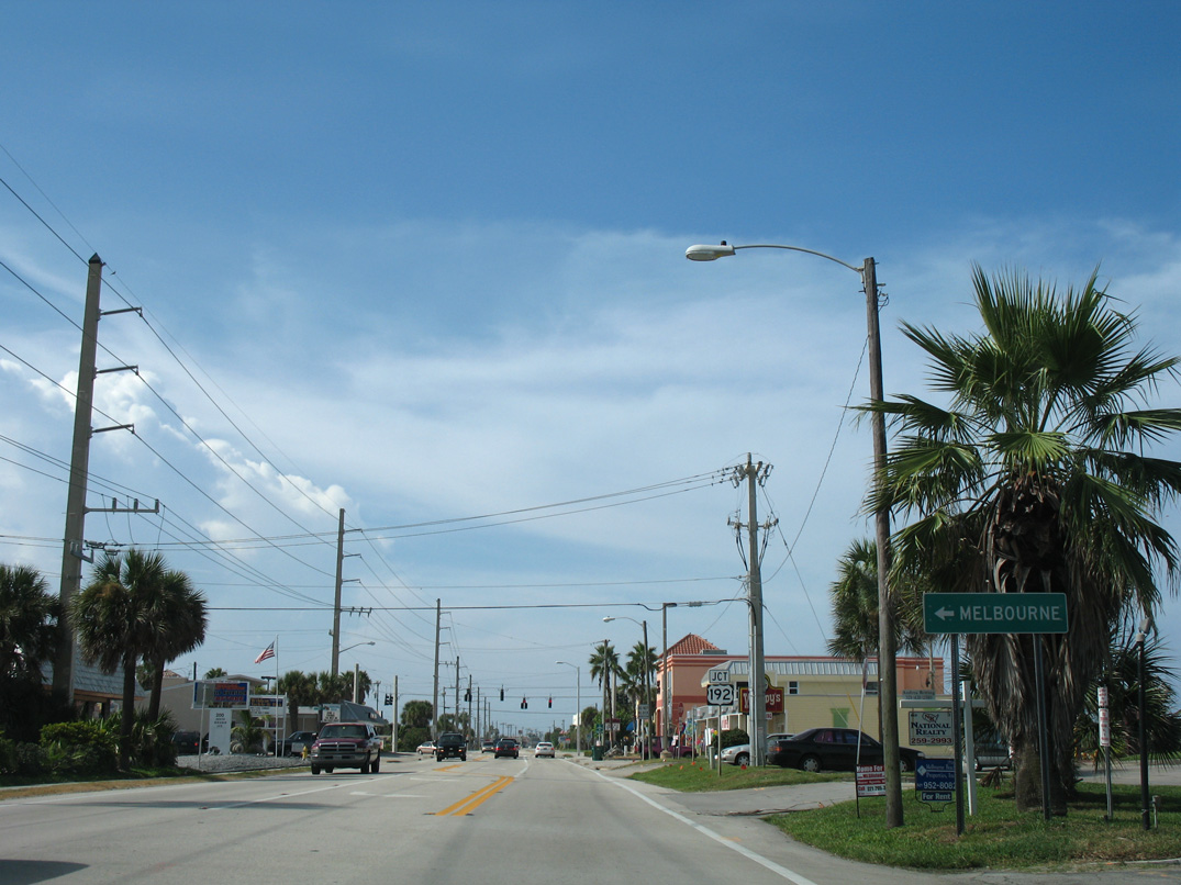
U.S. 192 (5th Avenue) provides the first connection to the mainland from SR A1A (Miramar Avenue) north since SR 510 at Wabasso Beach. U.S. 192 spans the Indian River west to Downtown Melbourne.
08/25/07
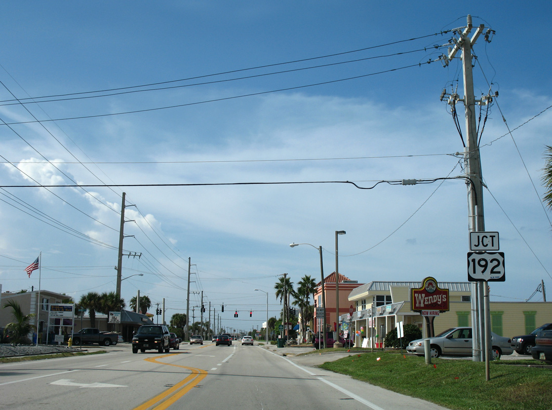
U.S. 192 crosses the Intracoastal Waterway along Melbourne Causeway from the Indialantic business district along 5th Street. The intrastate route joins Melbourne and the southern Space Coast with St. Cloud, Kissimmee, and Walt Disney World.
08/25/07
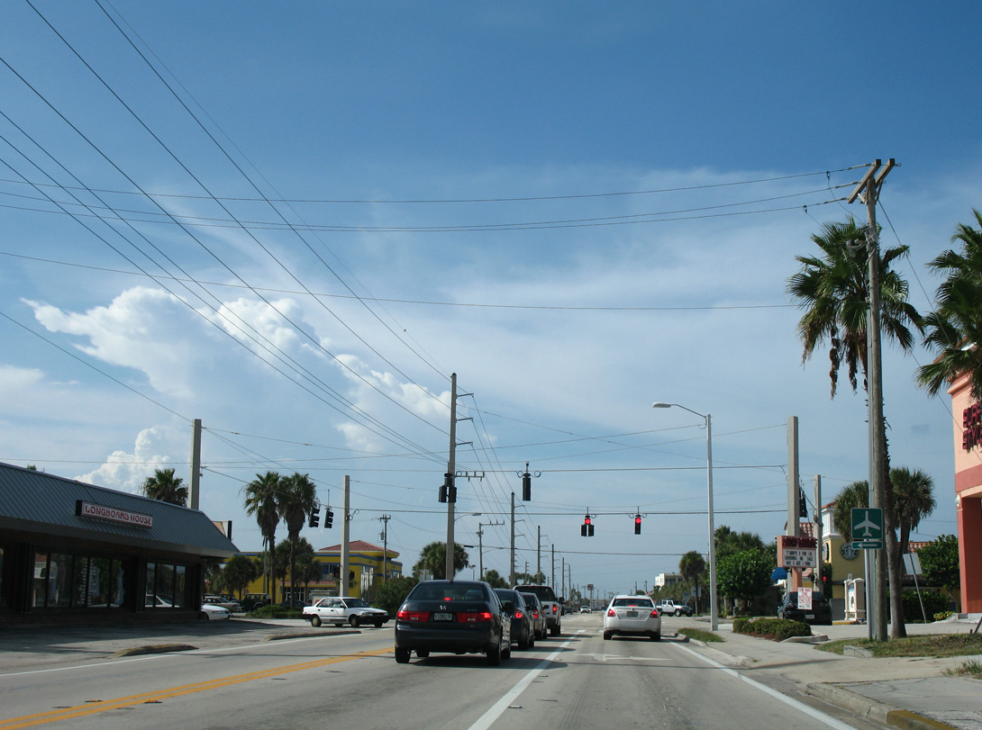
5th Avenue extends east one block to public beach access at James H. Nance Park. U.S. 192 is not acknowledged beyond the junction shield at 6th Avenue.
08/25/07
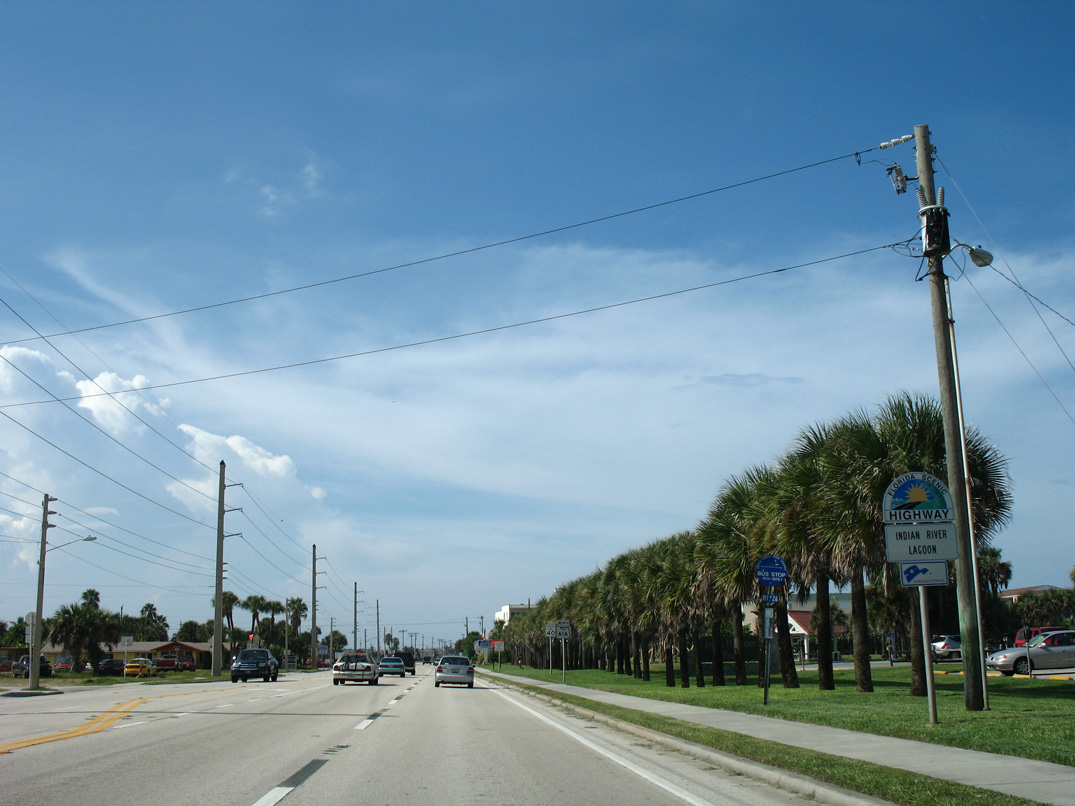
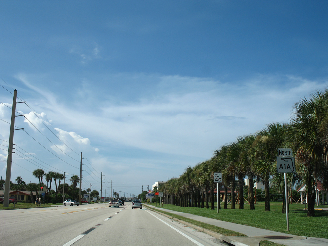
SR A1A (Indian River Lagoon Scenic Highway) advances north from U.S. 192 alongside James H. Nance Park in the town of Indialantic.
08/25/07
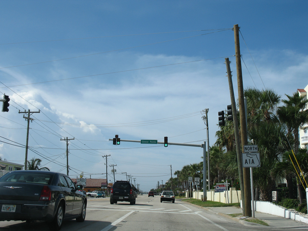
Gross Pointe Avenue runs along the Indianlantic town line west to Palm Avenue. The signal at SR A1A serves traffic to Indialantic Elementary School.
08/25/07
State Road A1A enters the Melbourne city limits ahead of Paradise Boulevard west and Hower E. Futch Memorial Park.
08/25/07
SR 518 (Eau Gallie Boulevard) runs west between Indian Harbour Beach and Melbourne to Eau Gallie Causeway crossing the Indian River. The state road extends 8.099 miles west from SR A1A to Interstate 95.
10/01/15

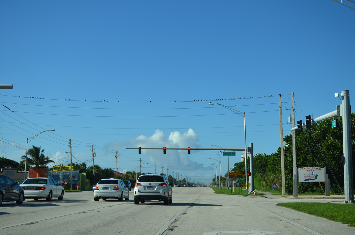
Continuing north, SR A1A enters the city of Indian Harbour Beach alongside Irene H. Canova Park.
08/25/07
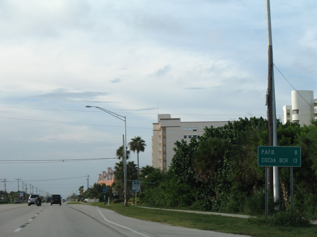
Patrick Space Force Base lies eight miles northward along SR A1A. Cocoa Beach follows in another 5 five miles.
08/25/07
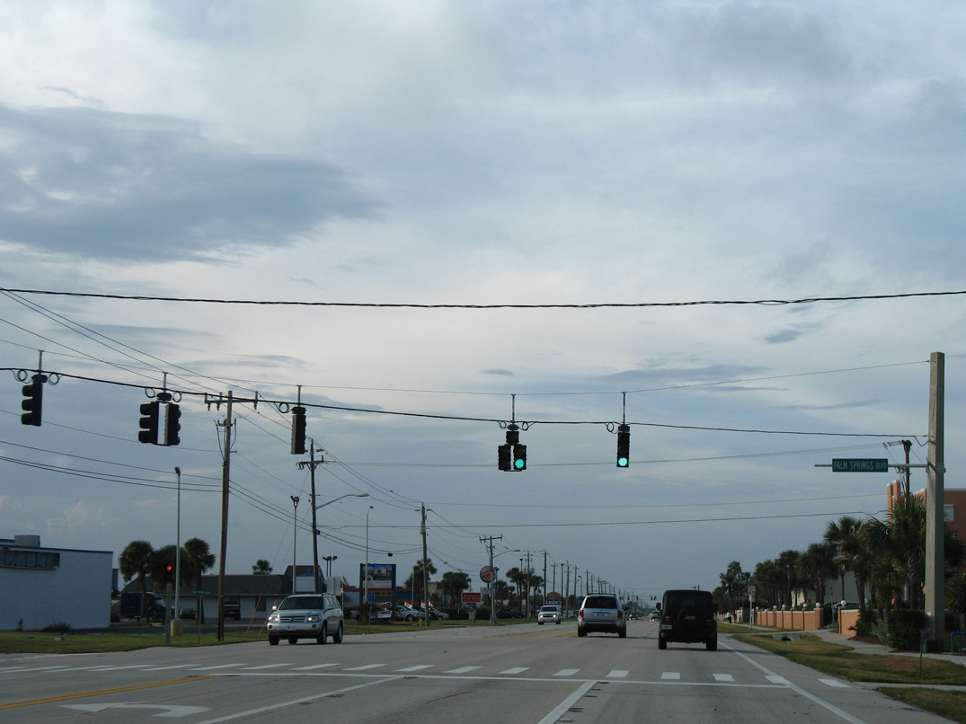
Palm Springs Boulevard loops west from a signal with SR A1A around the back side of a retail plaza to Pine Tree Drive in Indian Harbour Beach.
08/25/07
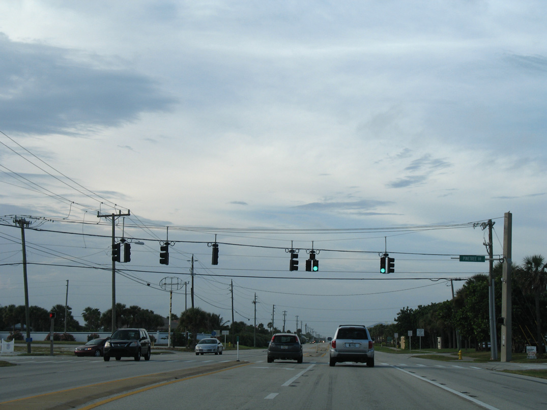
Pine Tree Drive stems west from SR A1A to become Banana River Drive ahead of SR 513 (South Patrick Drive) and unsigned CR 3 across the Mathers Bridge.
08/25/07
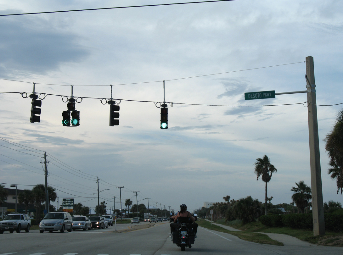
Traveling through the city of Satellite Beach, the succeeding signal along SR A1A north is with Desoto Parkway west. Desoto Parkway comprises a landscaped boulevard through an array of densely packed subdivisions to SR 513 at Lansing Island Drive.
08/25/07
Cassia Boulevard leads west from SR A1A between the Ocean Spray Estates and Michigan Beach neighborhoods to Surfside Elementary School and SR 513 (Patrick Drive).
08/25/07
The succeeding traffic light along SR A1A north is with Jackson Avenue west to three schools and SR 513 (Patrick Drive). The ensuing stretch runs between Atlantic Plaza shopping center and the Oceana Oceanfront Condominium. The two Oceana towers replaced an abandoned Ramada Inn that was previously built in 1986. Closed due to hurricanes Frances and Jeanne in 2004, the hotel property was acquired for the 108-unit condo complex in 2005.1
08/25/07
Advancing north toward Patrick Space Force Base, SR A1A passes by the former Satellite Shores subdivision at Shearwater Parkway and next intersects Berkeley Street west to the Sea Park Homes community. Satellite Shores was a part of the Patrick AFB south housing complex built in 1957. The 105 rental houses in the subdivision were razed to make way for future development. South of Shearwater Parkway, the "100 Acres" tract is reserved for privatized military housing.1
08/25/07
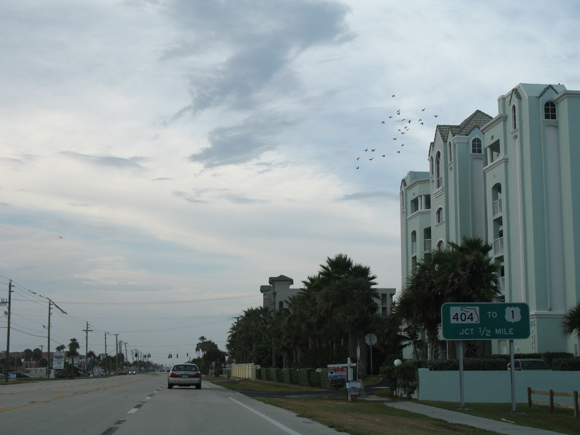
SR 404 (Pineda Causeway) spans the Banana River east from Merritt Island to connect with SR A1A between South Patrick Shores and Patrick Space Force Base in a half mile.
08/25/07
Ocean Boulevard leads west from this signal through a residential area of South Patrick, linking SR A1A with SR 513 (Patrick Drive).
08/25/07
A resurfacing project completed in July 2018 included extending the sidewalk along the east side of SR A1A at Pineda Causeway. The sidewalk was constructed in place of the bypass lane for SR A1A north. Also with bicycles permitted along SR 404, the through lane was removed for safety reasons.2
09/28/13
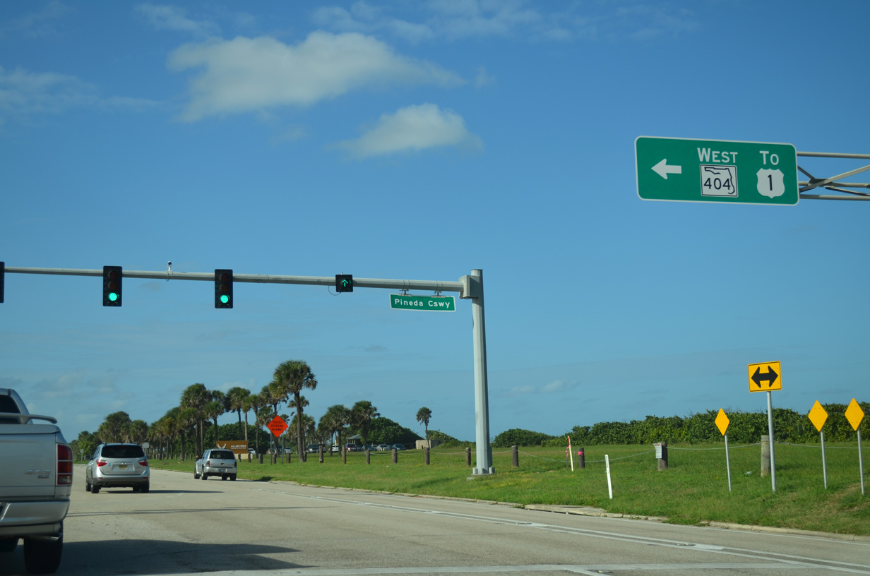
State Road 404 constitutes a 4.139 mile long expressway west from SR A1A and Patrick SFB to U.S. 1 at Palm Shores. Pineda Causeway was extended west to Interstate 95 in 2011 as an unnumbered route.
09/28/13
North from SR 404, SR A1A runs between Pineda Beach Park and the grounds of Patrick SFB.
08/25/07
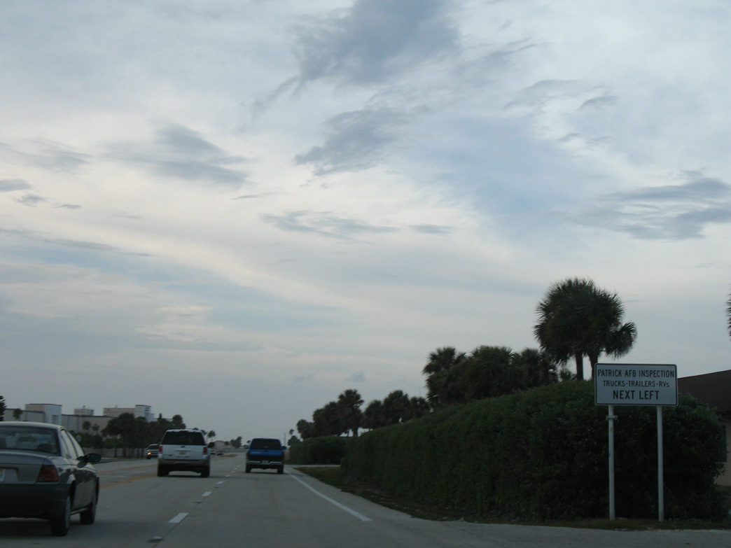
An inspection station for drivers of trucks, recreational vehicles and vehicles with trailers heading into Patrick SFB is located at Forecast Lane and SR A1A.
08/25/07
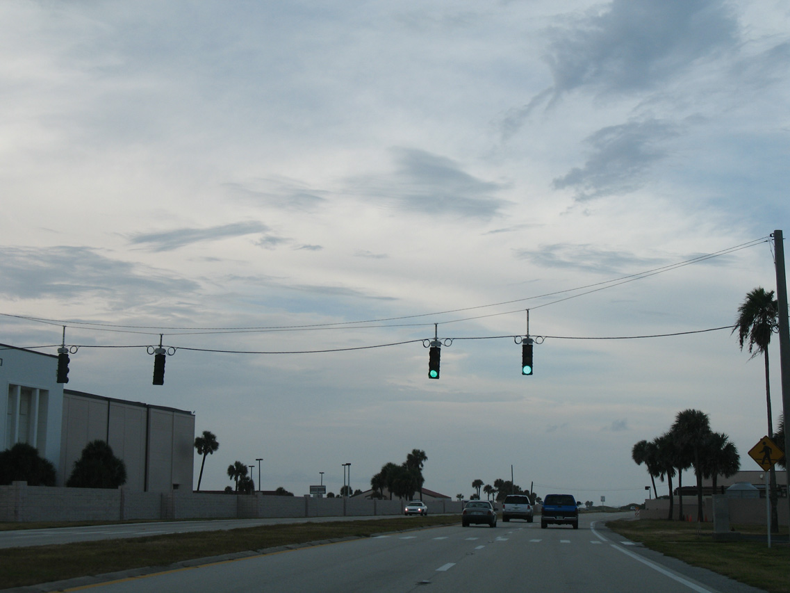
A pedestrian signal joins areas of Patrick SFB along the coast near Tech Road.
08/25/07
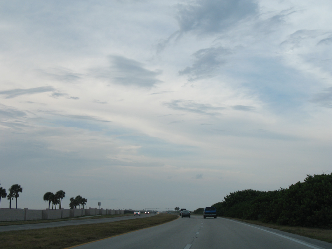
SR A1A shifts closer to the beach beside the runways of Patrick SFB.
08/25/07

An emergency signal follows along SR A1A northbound at Patrick SFB.
08/25/07
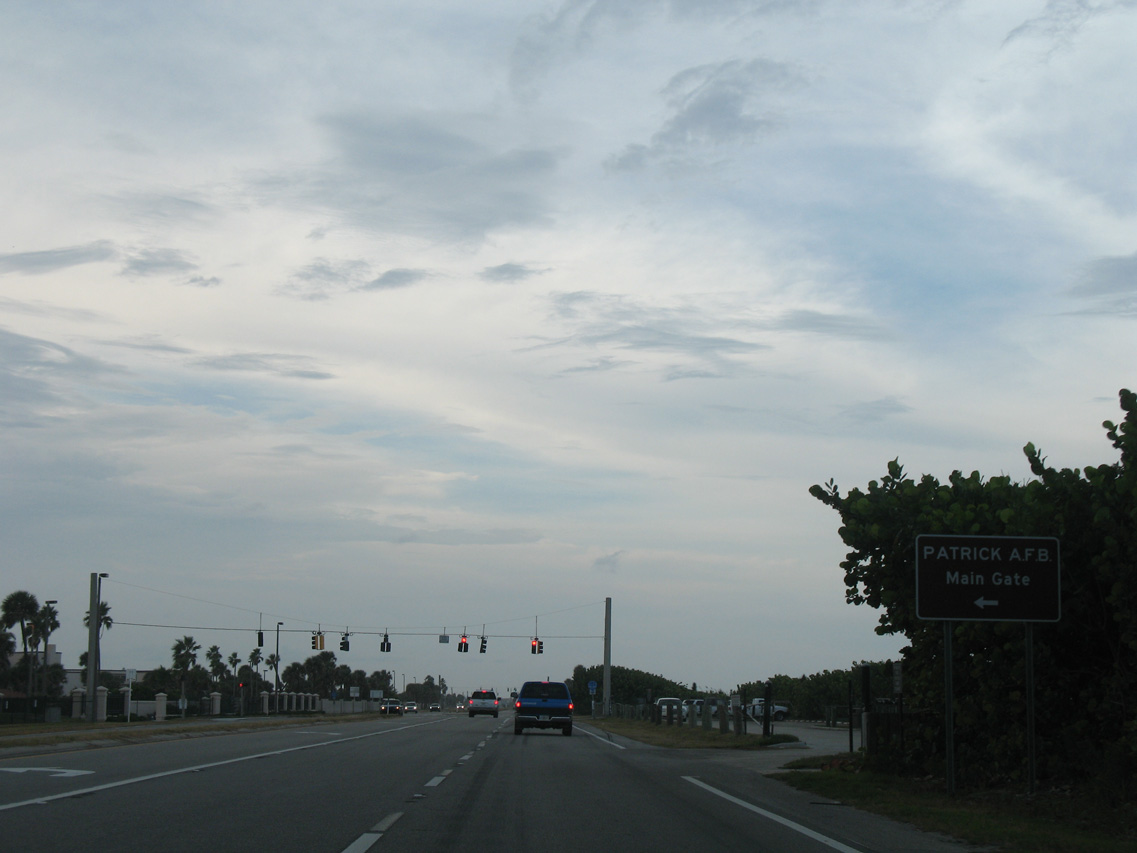
The main gate to Patrick SFB is located along Jupiter Street at the north end of the facility.
08/25/07
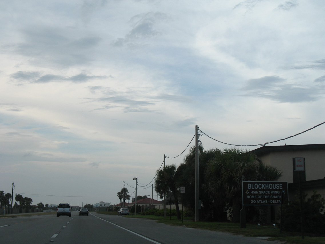
Blockhouse Beach lines the east side of SR A1A beyond the Patrick SFB main gate.
08/25/07
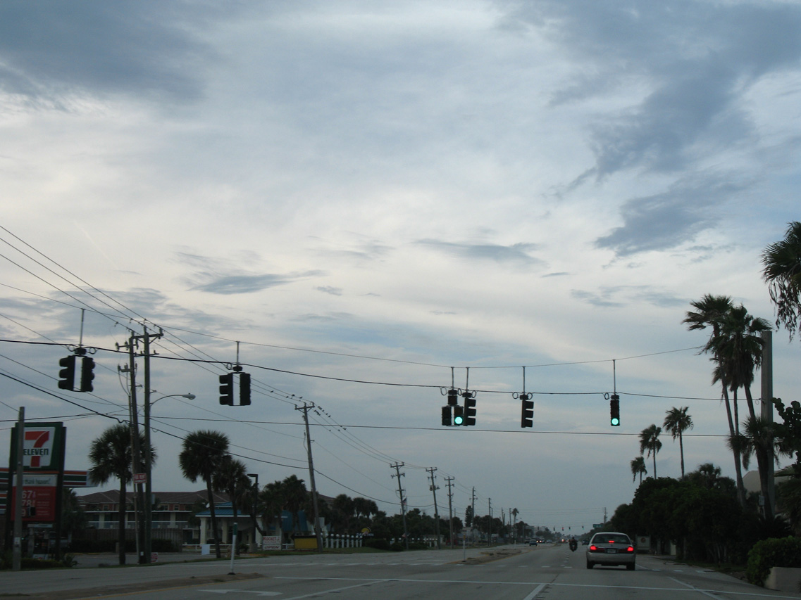
Leaving Patrick SFB, SR A1A enters unincorporated South Cocoa Beach and splits into a one way couplet along Atlantic Avenue north and Orlando Avenue south.
08/25/07
Atlantic Avenue advances north through the Cocoa Beach residential street grid.
10/21/18
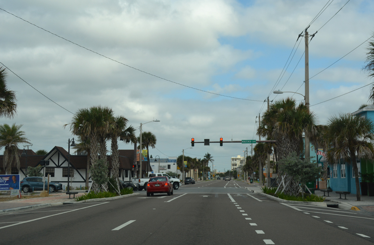
Atlantic Avenue progresses north into the Cocoa Beach business district. The subsequent traffic light along SR A1A north operates at Minutemen Causeway west to Cocoa Beach Country Club golf course and the Cocoa Isles Country Club subdivision along the Banana River.
10/21/18
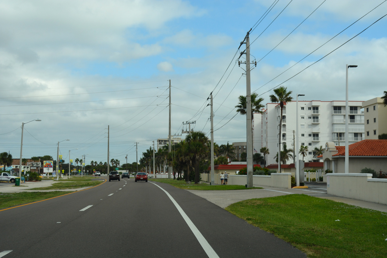
A number of condominium complexes rise along the east side of Atlantic Avenue through Cocoa Beach.
10/21/18
The split roadways of SR A1A converge north of 4th Street. The couplet is three miles long.
10/21/18
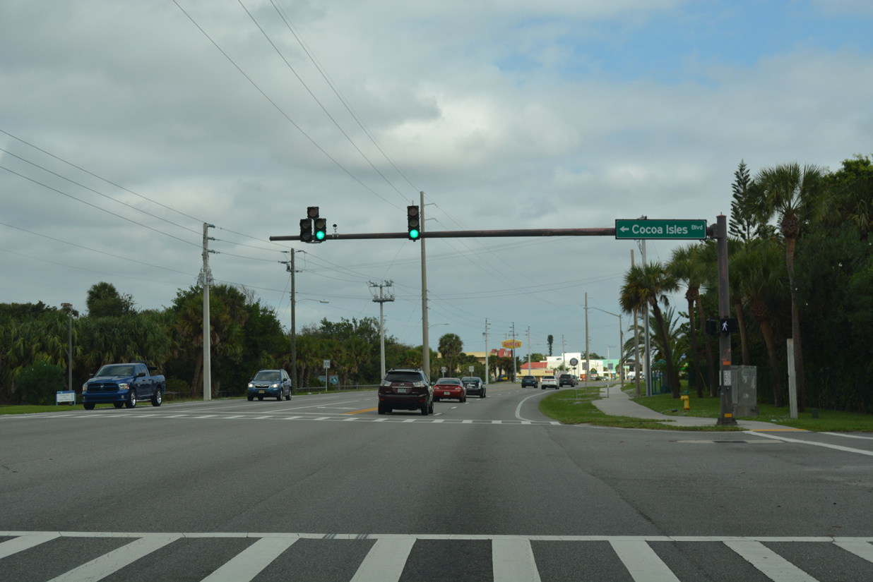
Shifting westward toward the Banana River side of the barrier island, SR A1A (Atlantic Avenue) intersects Cocoa Isles Boulevard west to the Cocoa Isles subdivision.
10/21/18
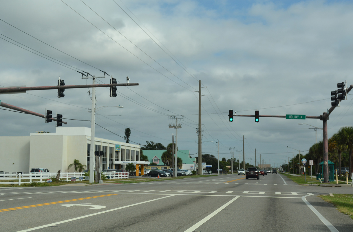
The next signal along Atlantic Avenue north in Cocoa Beach is with Holiday Lane west to the Holiday Estates subdivision and the entrance to International Palms Resort & Conference Center.
10/21/18
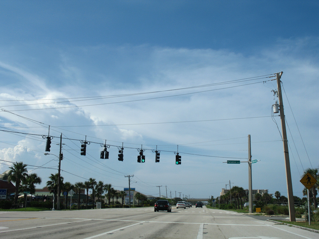
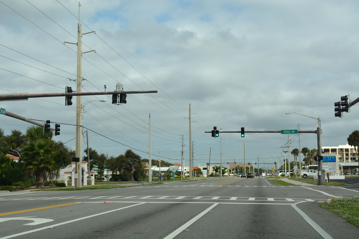
A quick succession of traffic lights operate along Atlantic Avenue north at Royale Way east, Banana River Boulevard west to the Cocoa Isles 11th Cape Royal and the entrance to Sidney Fischer Park
10/21/18
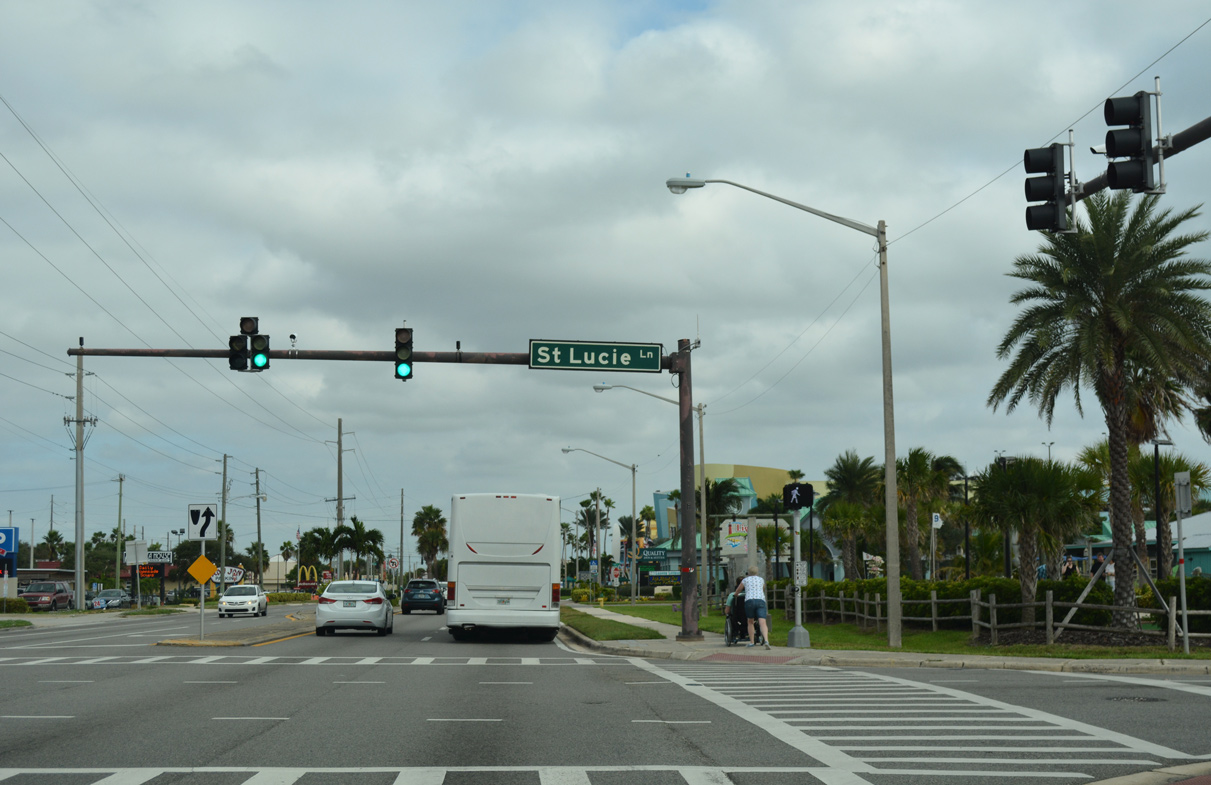
St. Lucie Lane ties into SR A1A from an array of condos and lodging establishments both west and east of Atlantic Avenue.
10/21/18

The famous Ron Jon Surf Shop lies at the northeast corner of SR A1A (Atlantic Avenue) and Marion Lane in north Cocoa Beach.
10/21/18
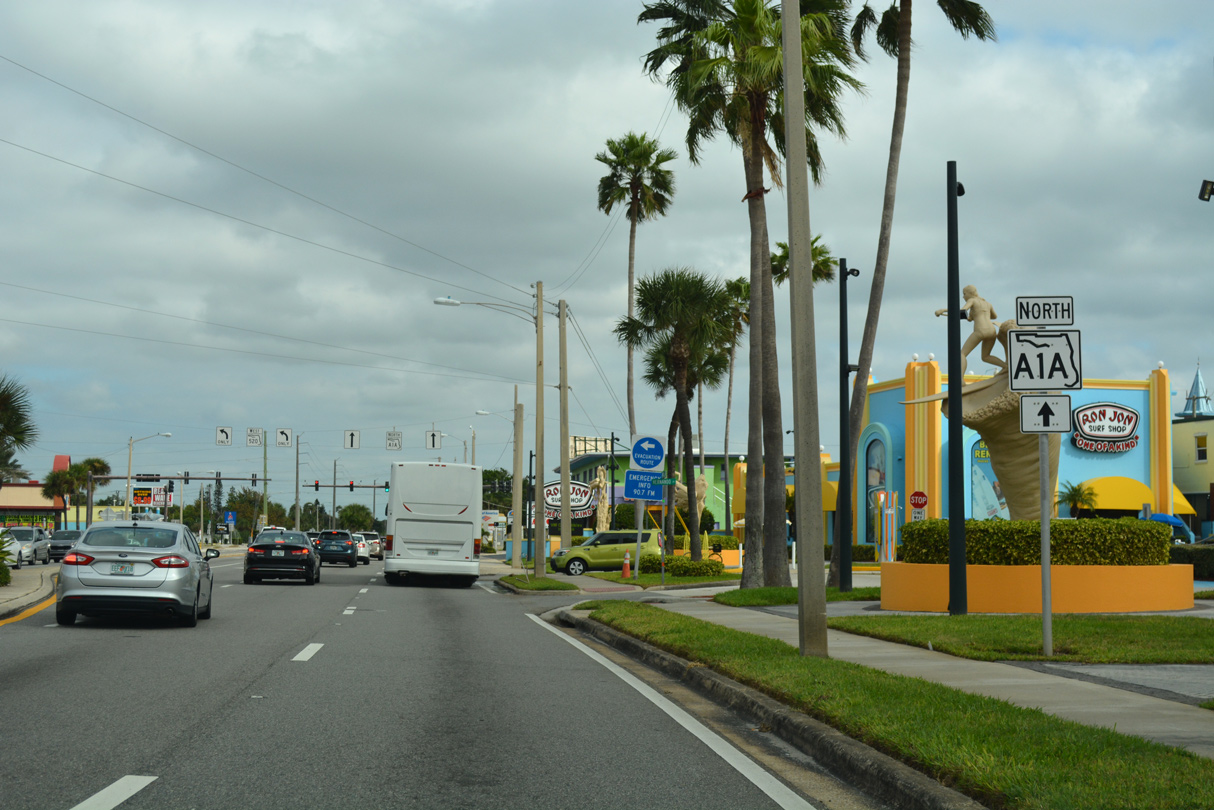
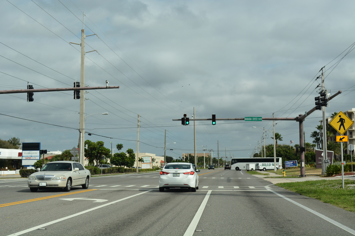
SR 520 (Cocoa Beach Causeway) stems west from SR A1A across the Banana River to Merritt Island and U.S. 1 at the city of Cocoa. Cocoa Beach Causeway extends east one block to Ocean Beach Boulevard at Shepard Park as well.
10/21/18
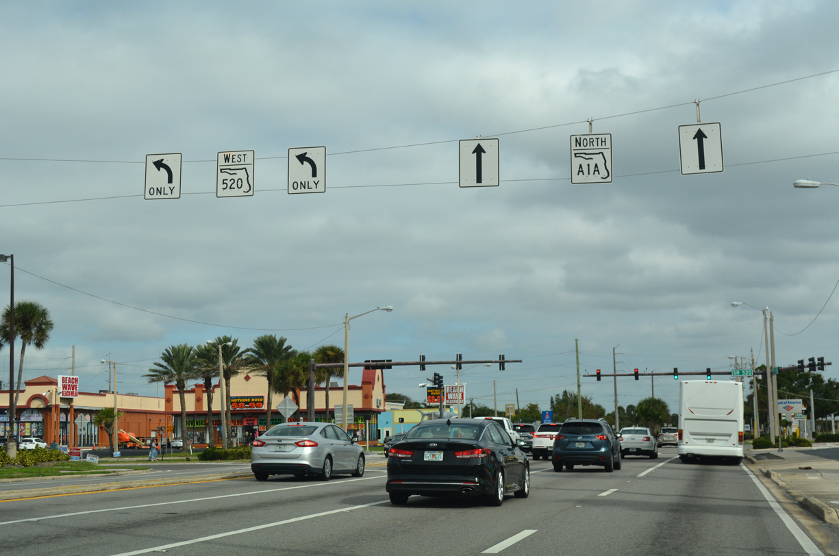
A 34.7 mile route, SR 520 forms the southern of three routes joining the central Space Coast with the Orlando area. SR 520 travels west through the city of Cocoa and Cocoa West and north to SR 50 (East Colonial Drive) at Bithlo.
10/21/18
State Road A1A lacks a confirming marker northbound after SR 520. Atlantic Avenue separates ocean side condos with the Cocoa Ocean Beach neighborhood beyond the business strip along Cocoa Beach Causeway.
10/21/18
Continuing north into the city of Cape Canaveral, SR A1A separates with Atlantic Avenue at Astronaut Boulevard.
03/18/06
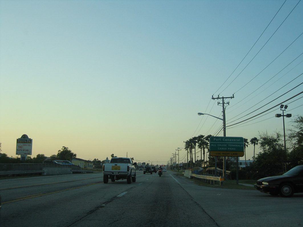
SR A1A aims northwest through a commercial strip along Astronaut Boulevard to George King Boulevard to Port Canaveral.
03/18/06

Central Boulevard intersects Astronaut Boulevard east from Manatee Sanctuay Park and west from the Cape Canaveral Beach Gardens neighborhood.
03/18/06
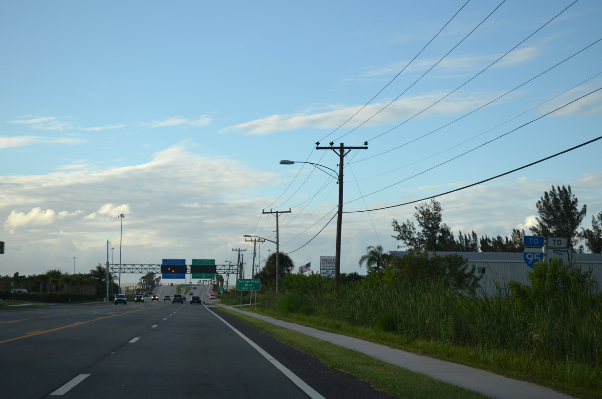
SR A1A (Astronaut Boulevard) upgrades to a limited access highway leading west from Cape Canaveral toward Interstate 95.
09/28/13
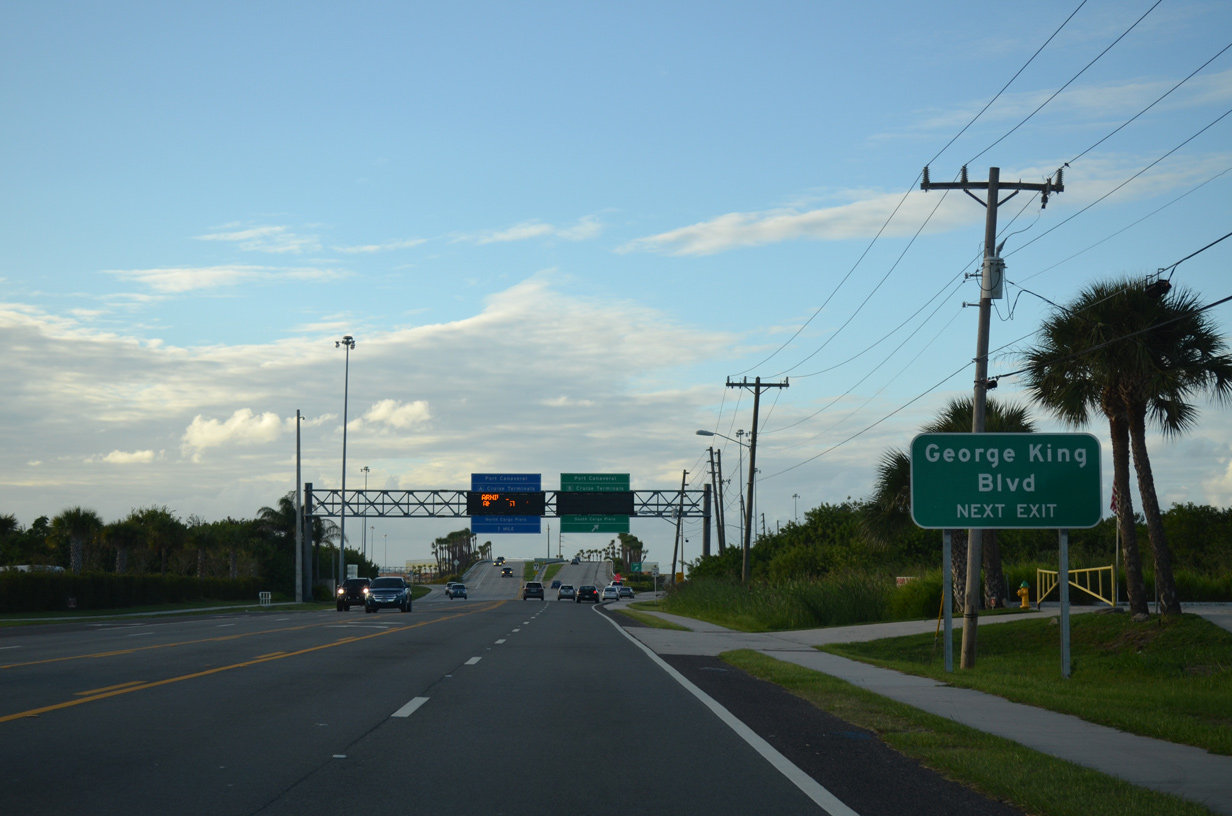
A single point urban interchange (SPUI) joins SR A1A (Astronaut Boulevard) with George King Boulevard.
09/28/13

George King Boulevard runs east to the B Cruise terminals and South Cargo Piers of Port Canaveral. The A Cruise terminals lie north along SR 401, the ensuing westbound exit.
09/28/13
References:
- "Satellite Beach shoots down Facebook rumors during growth-development town hall." Florida Today, July 25, 2018.
- "Walk of the town: New sidewalks on busy A1A stretch." Melbourne Beachsider (FL), April 5, 2018.
Photo Credits:
- Alex Nitzman: 08/25/07, 10/21/18
- Alex Nitzman, JP Nasiatka: 10/01/15
- ABRoads, JP Nasiatka: 09/28/13
- Alex Nitzman, Justin Cozart: 03/18/06
Connect with:
Page Updated Monday October 10, 2022.