
State Route 74
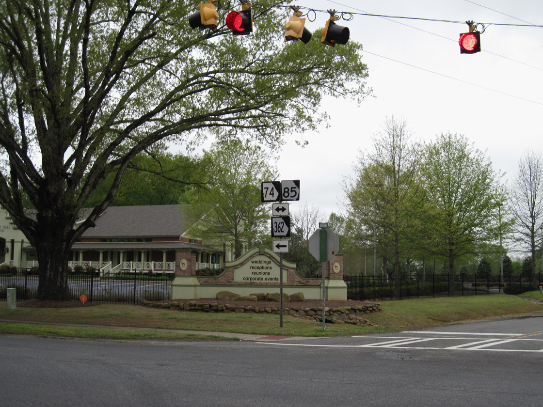
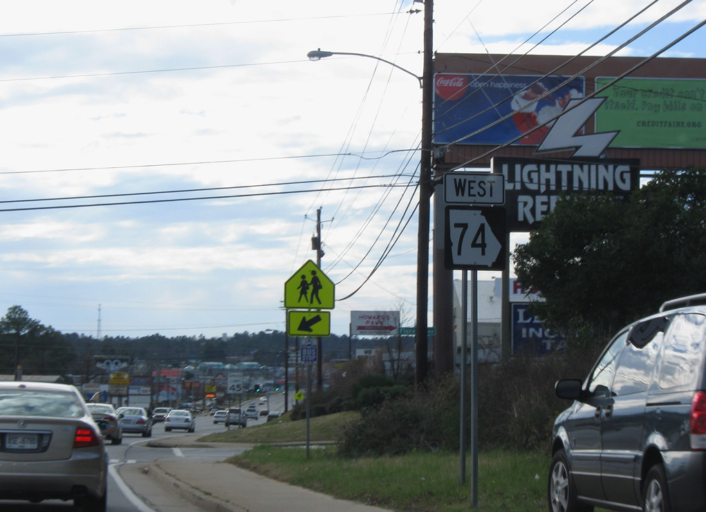
Measuring 107.89 miles in length, Georgia State Route 74 runs south from U.S. 29/SR 14 in Fairburn to I-75/SR 540 in Macon. The state route heads south from Fulton County to Peachtree City to SR 85 in southern Fayette County. SR 74/85 overlap to the towns of Halalson, Gay and Woodbury.
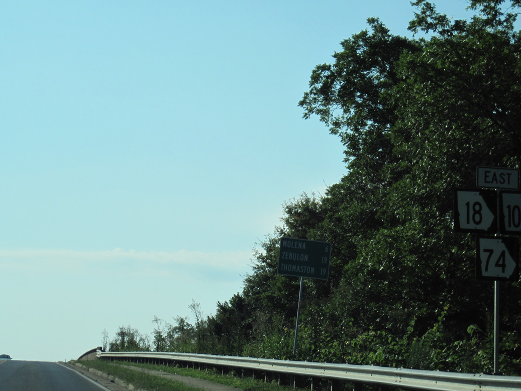
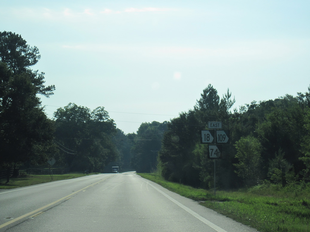
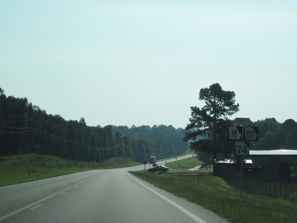
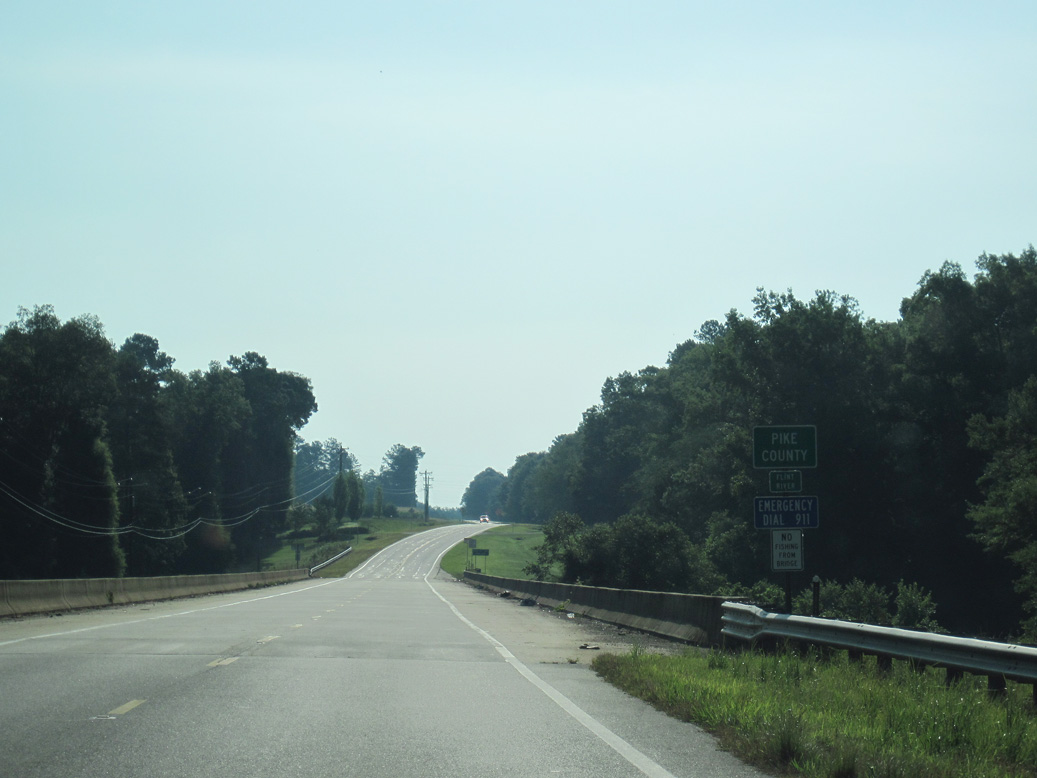
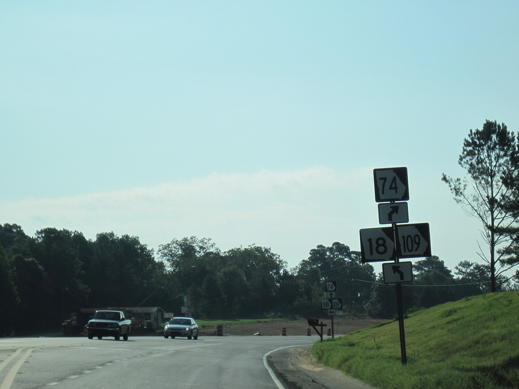
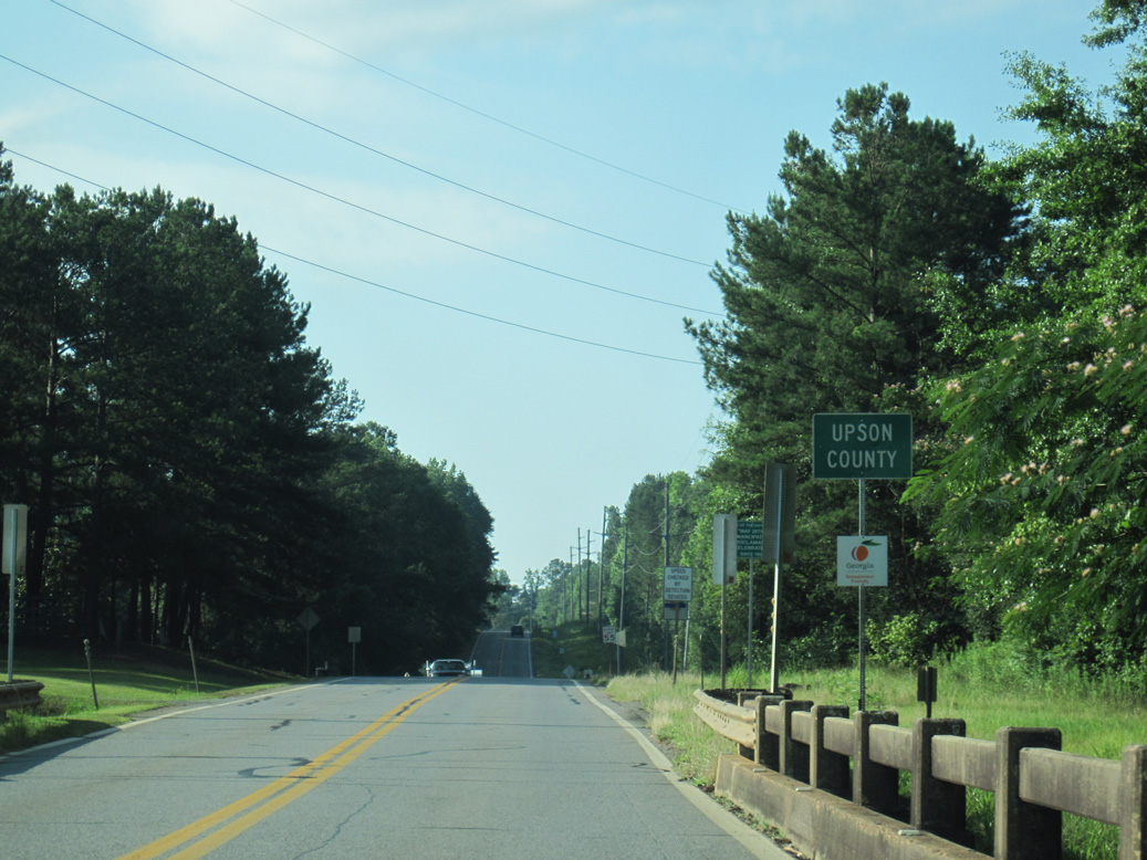
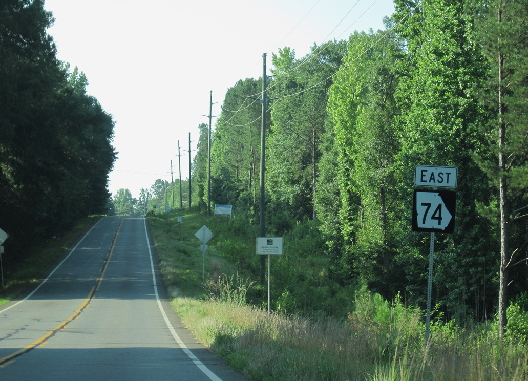
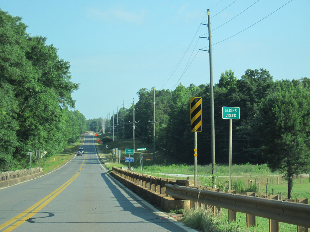
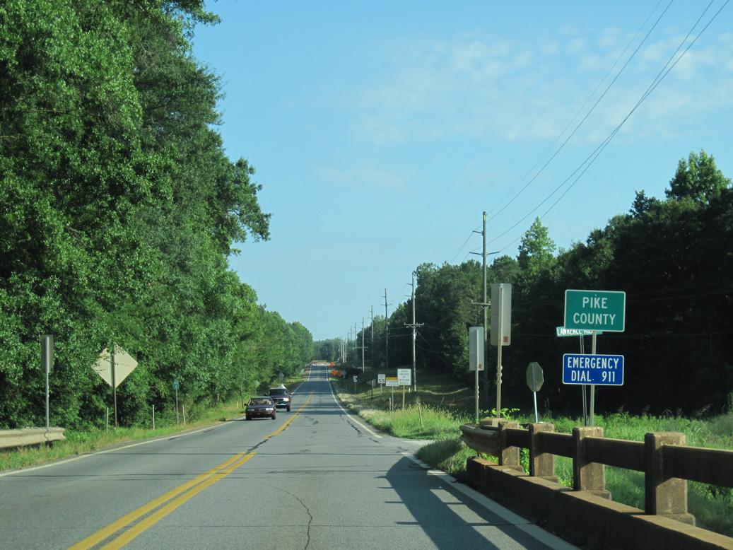
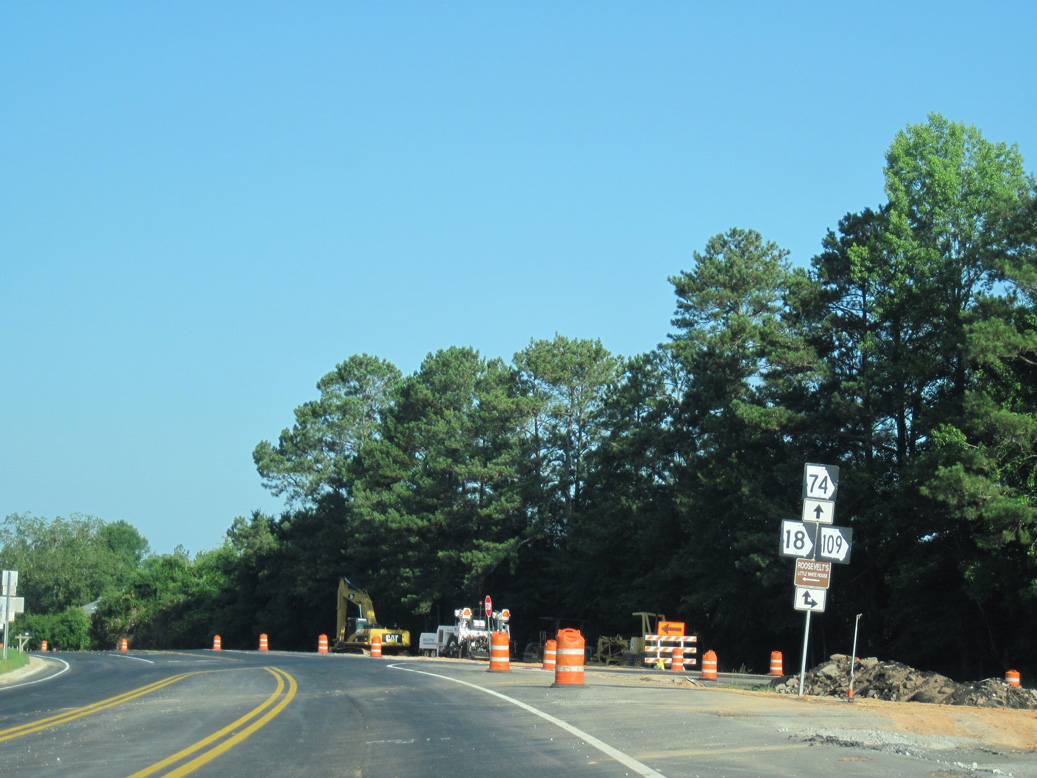
Turning east at Woodbury, SR 74 runs concurrent with SR 18/109 into southwest Pike County. SR 18/109 branch north to the city of Molena while SR 74 curves southeast to the Upson County seat of Thomaston.
Within Thomaston, SR 74 splits with SR 74 ALT (Main Street) for Gordon Street east into Downtown. SR 74ALT comprises a 1.49 mile long loop east to the four block long couplet of SR 36/74 between Green and Bethel Streets. SR 74 continues east to Yatesville as SR 36 heads northeast to Barnesville.
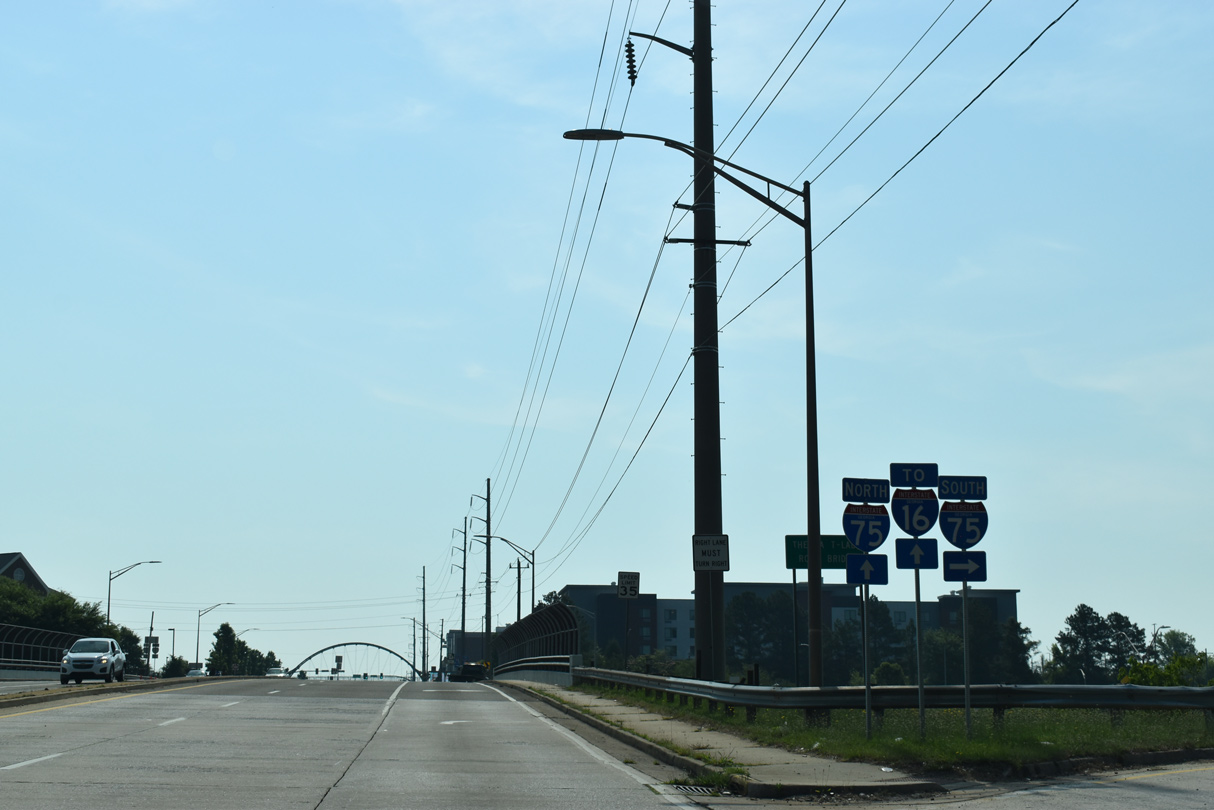
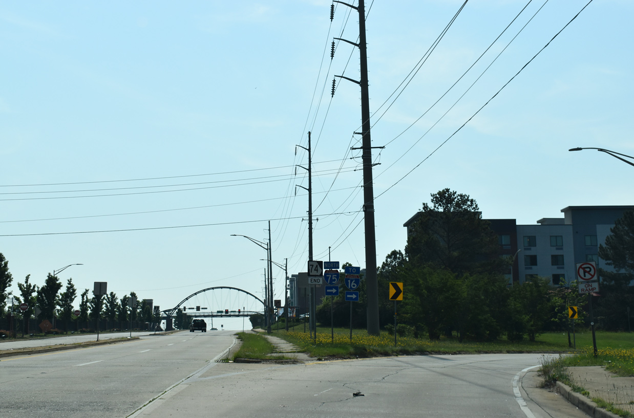
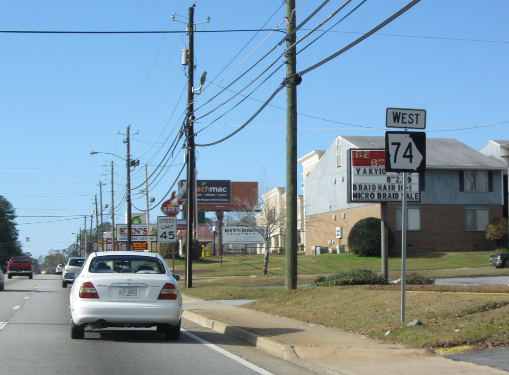
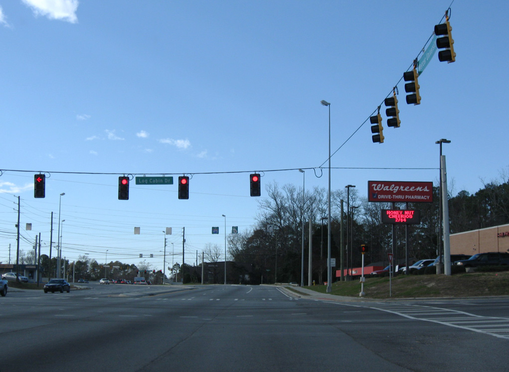
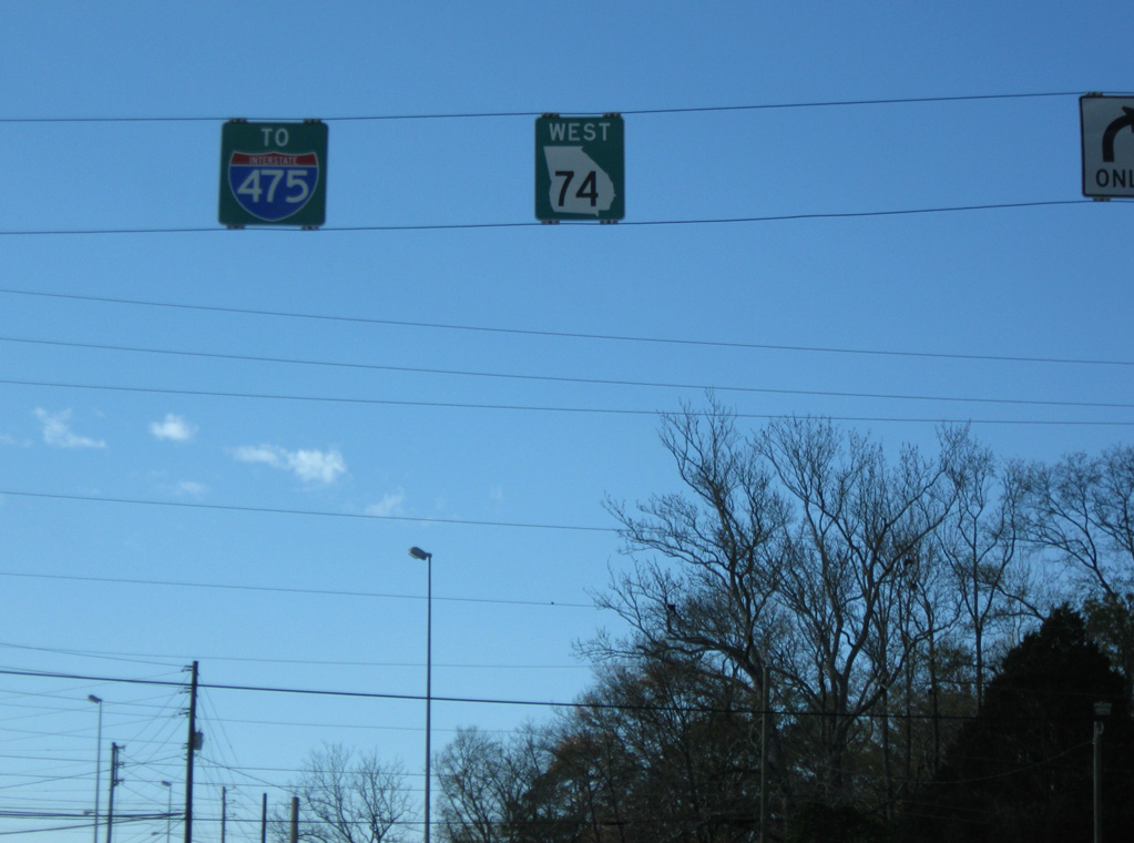
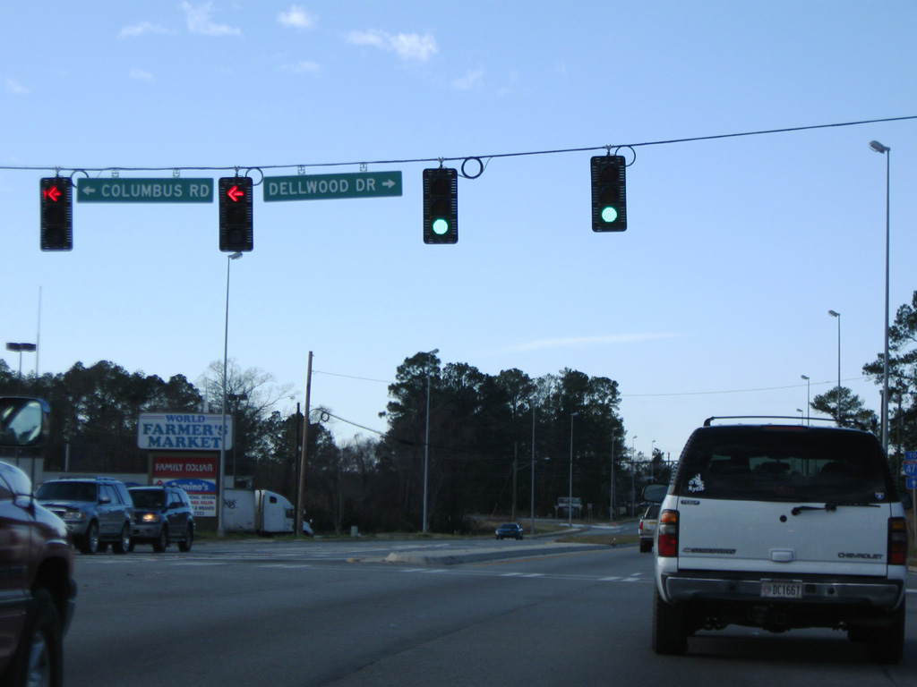
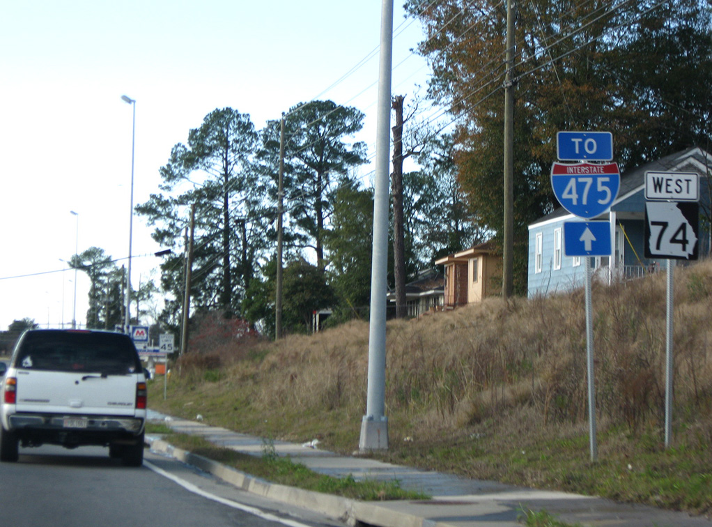
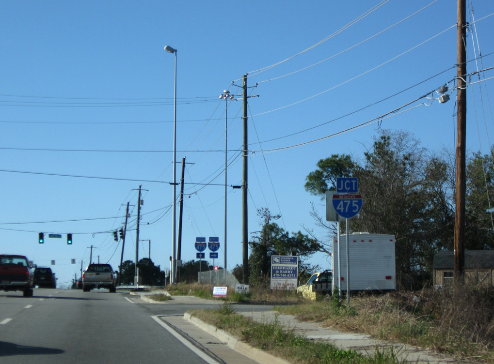
SR 74 crosses rural southwestern Monroe County east into Macon-Bibb County near Lake Tobesofkee. Advancing east through the outer Macon suburbs, SR 74 widens to an arterial along Mercer University Drive. The commercial boulevard leads the state route east from I-475 to I-75/SR 540 by Mercer University.
 East
East  South
South 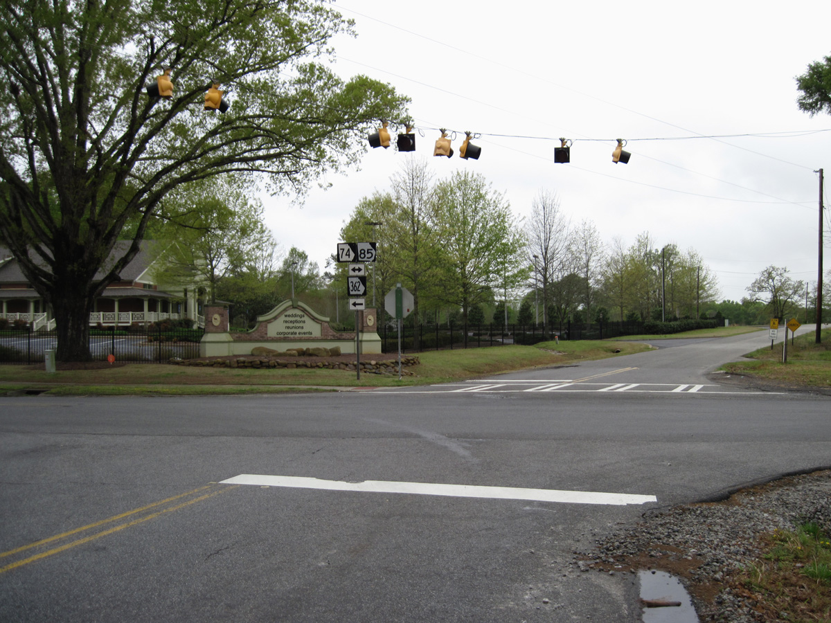
04/19/14
04/19/14
06/24/10
06/24/10
06/24/10
06/24/10
06/24/10
06/24/10
East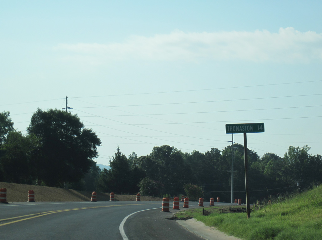
06/24/10
06/24/10
06/24/10
05/25/21
05/25/21
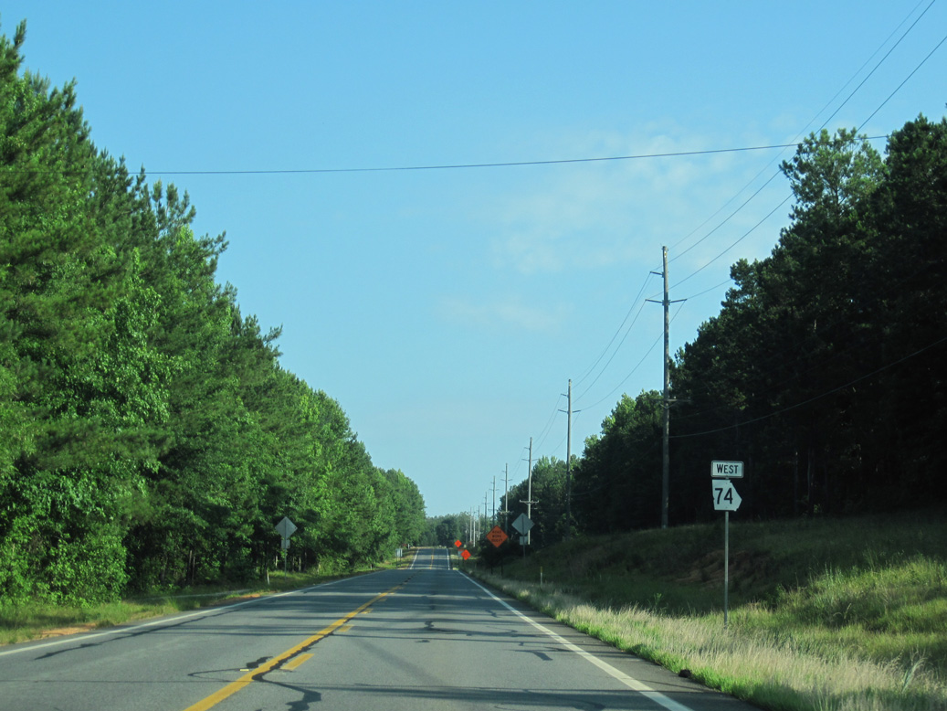
West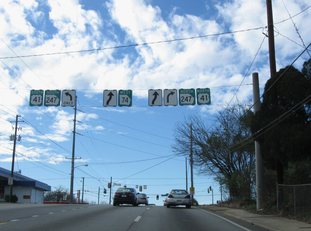
12/27/09
12/27/09
12/27/09
12/27/09
12/27/09
12/27/09
12/27/09
12/27/09
06/24/10
06/24/10
06/24/10
06/24/10
West North 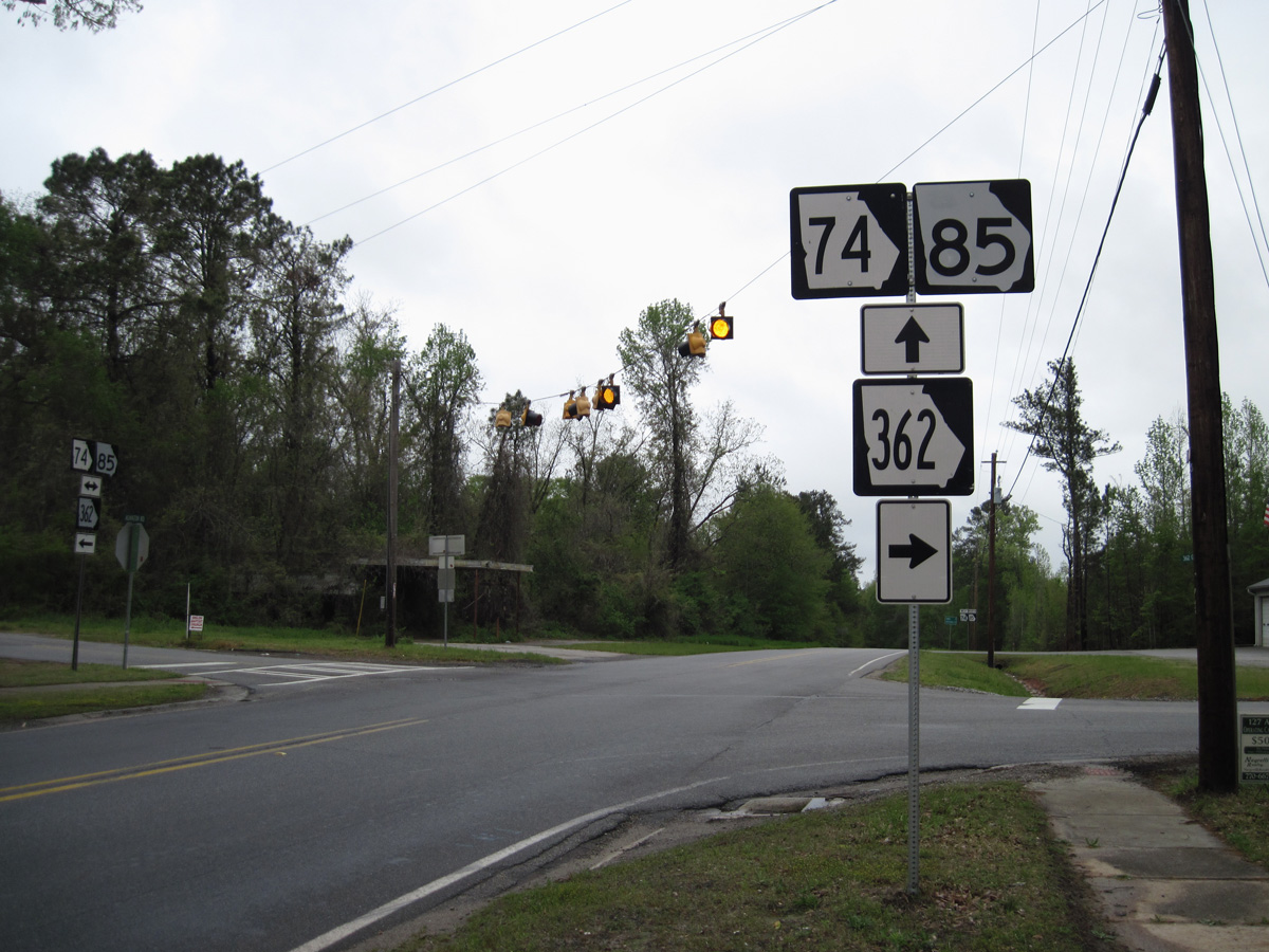
04/19/14
Photo Credits:
- Carter Buchanan: 04/19/14
- ABRoads: 06/24/10
- Brent Ivy: 12/27/09, 05/25/21
Connect with:
Page Updated Wednesday June 09, 2021.