
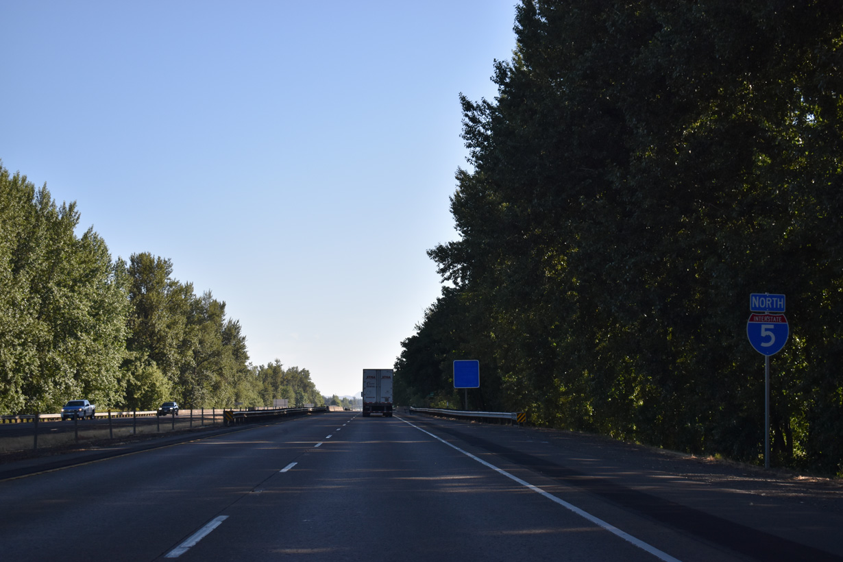
Interstate 5 North - Creswell to Eugene

Interstate 5 transitions from hilly mountains into flat valleys on the drive northward from Roseburg to Eugene. The freeway straightens out for the first time since the Central Valley in California through the Eugene and Springfield metro area.
The city of Creswell began in 1872 by settlers Alvin Huges and James Robinett near the California & Oregon Railroad. A post office opened at the site in 1873 with the name of Creswell after the U.S. Postmaster General John Creswell. Agriculture fueled the economy early and fruit orchards, a cannery, and a packing plant joined the town by the time Creswell incorporated in 1909. The Friendly City continued to grow with connections to the Eugene-Springfield metropolitan area.
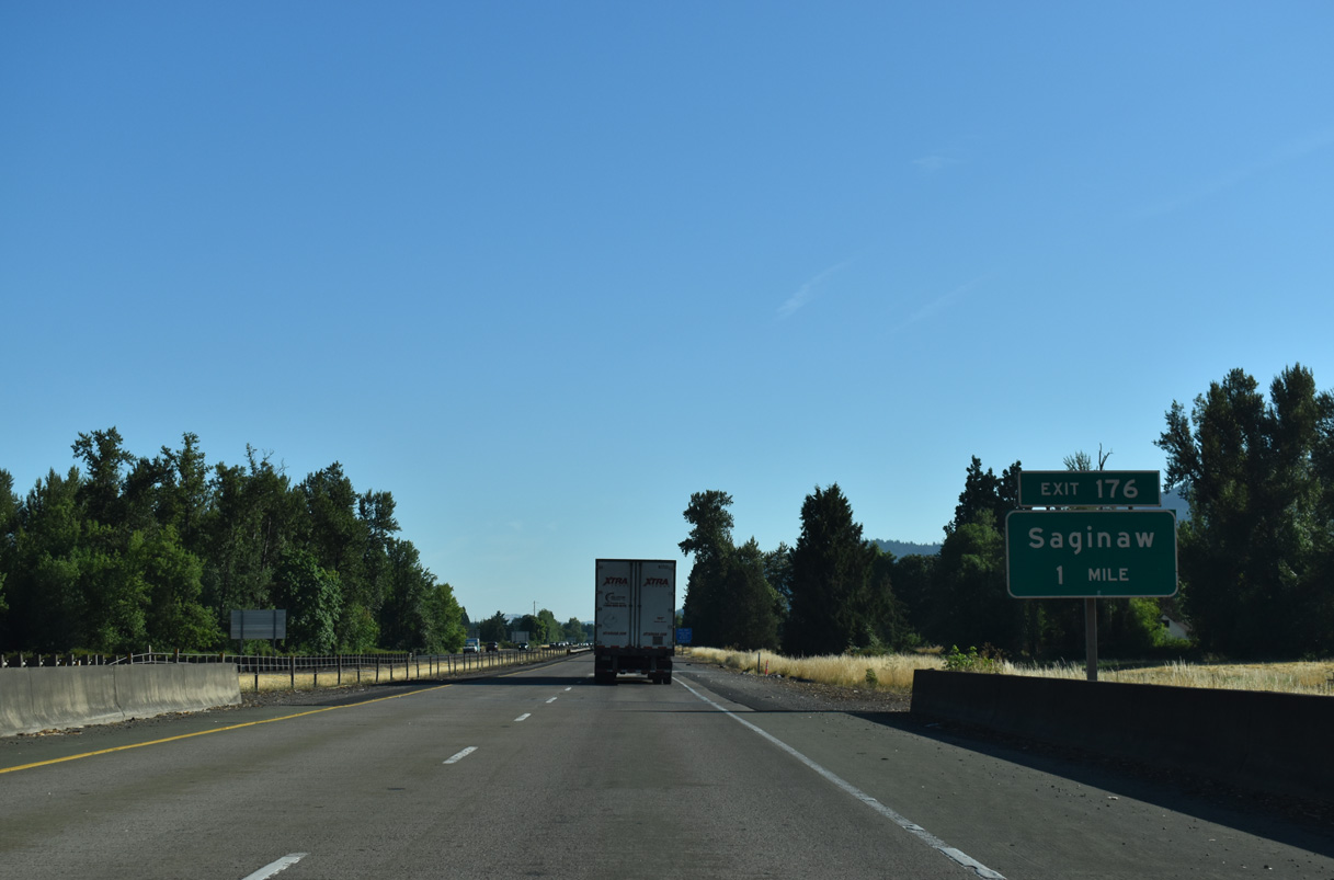
OR 99 (Goshen Divide Highway) follows the Coast Fork of the Willamette River north from Cottage Grove to the unincorporated community of Saginaw. Saginaw Road stems 0.4 miles east from OR 99 at Saginaw to Interstate 5 at Exit 176.
07/16/23
Interstate 5 north crosses Middlefield Golf Course ahead of the Row River.
07/16/23
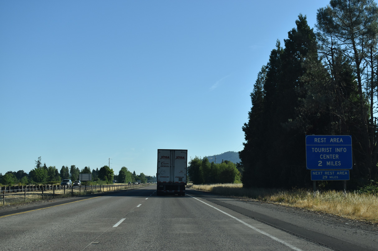
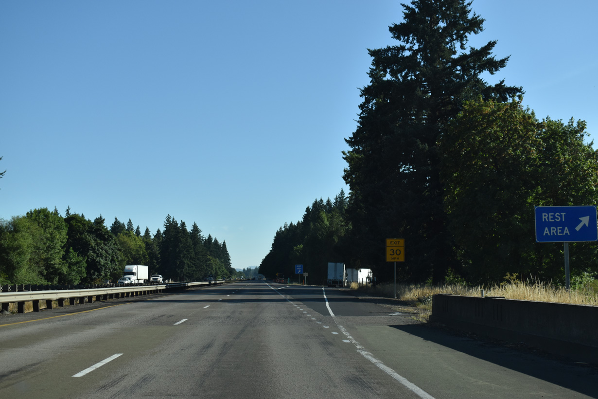
The Getting Creek Rest Area follows Exit 176 at the north end of Delight Valley.
07/16/23
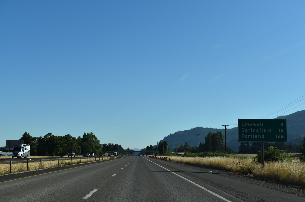
This distance sign for Creswell and Springfield precedes the modified diamond interchange (Exit 176) with Saginaw Road.
07/16/23
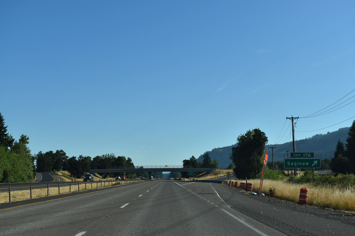
Saginaw began as a settlement built by the Booth-Kelly Lumber Co. and was named after Saginaw, Michigan. Sears Road travels north from Row River Road to Saginaw Road adjacent to Exit 176. Sears Road continues north alongside Interstate 5 to the Cloverdale Road east of Creswell.
07/16/23
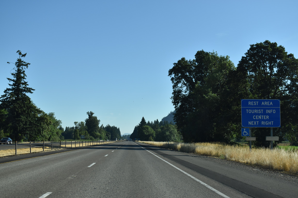
The Gettings Creek Rest Area lies north of Brown Creek at mile marker 178.
07/16/23
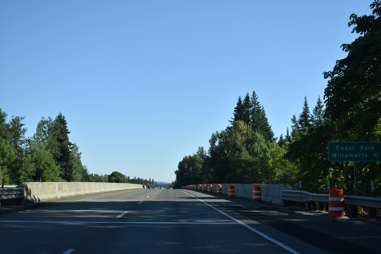
Passing west of Cougar Mountain, Interstate 5 advances north between the Coast Fork of the Willamette River and Sear Road.
07/16/23
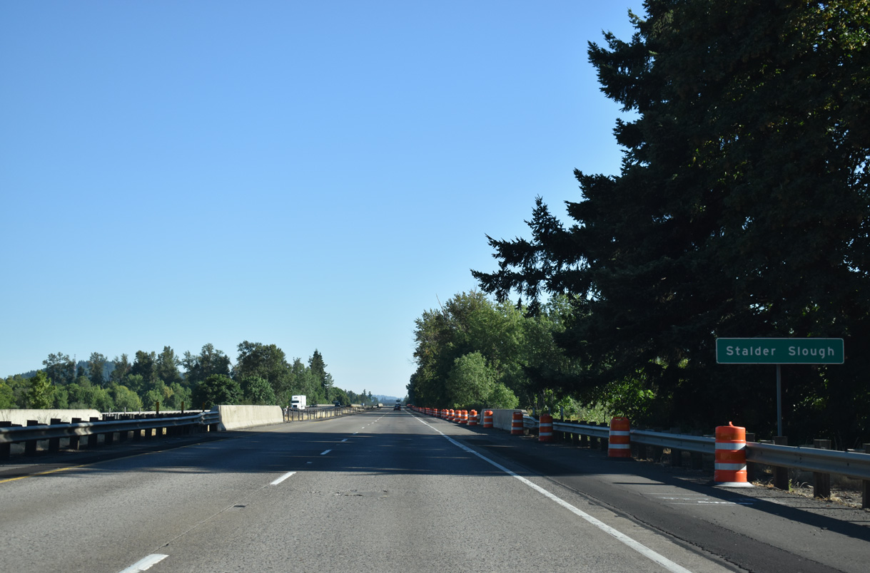
Interstate 5 crosses Stalder Slough adjacent to pasture land along the Coast Fork of the Willamette River.
07/16/23
The Coast Fork of the Willamette River shifts east of Interstate 5 at milepost 180. The river flows near the freeway again by Coryell Pass north of milepost 190.
07/16/23
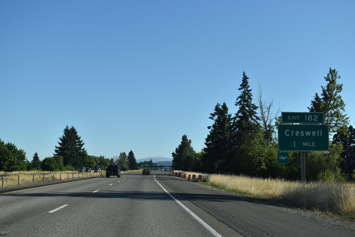
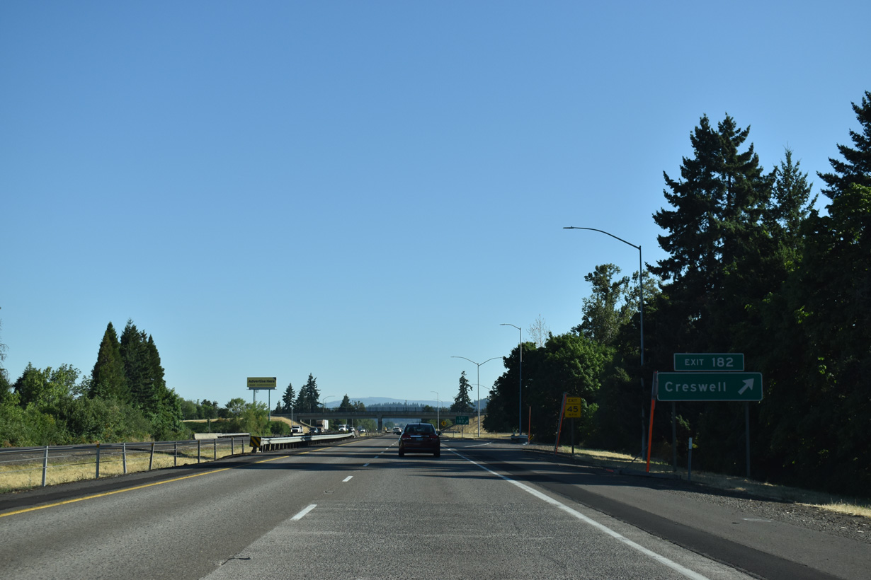
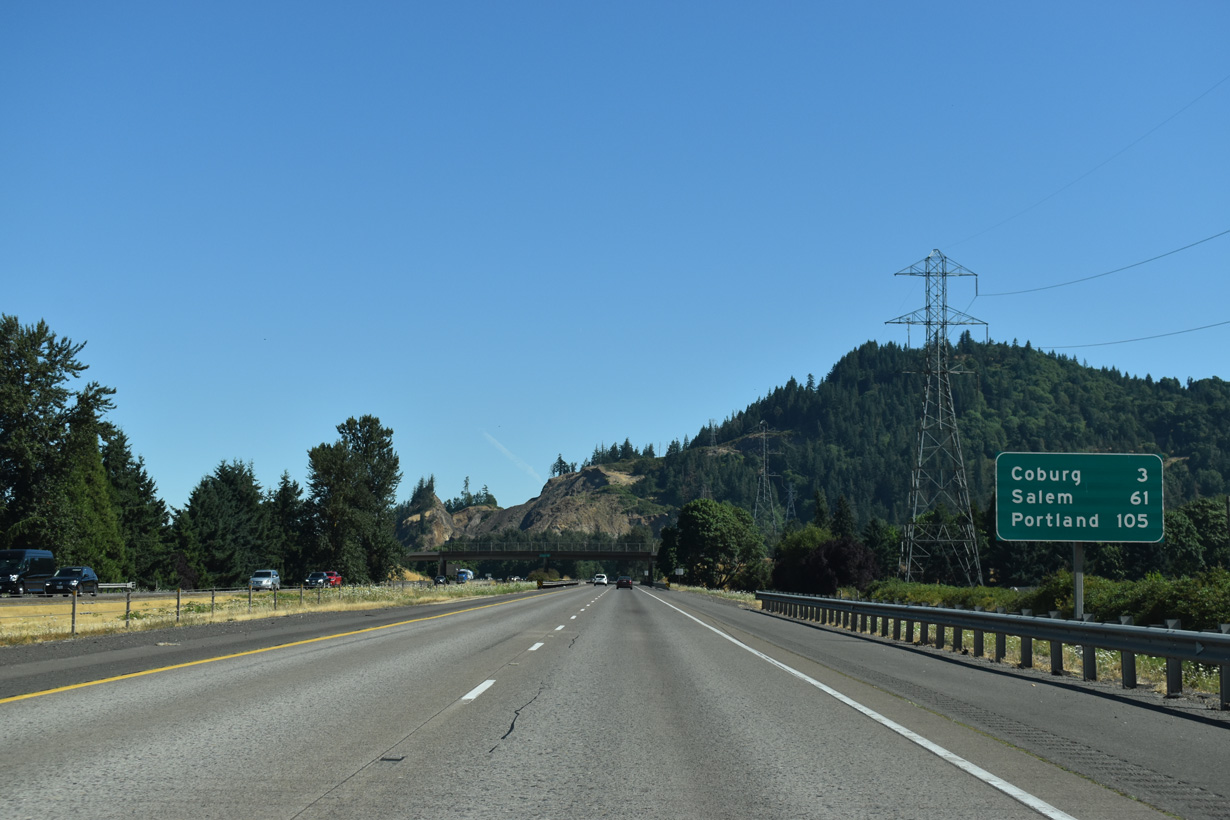
Oregon Avenue east and Cloverdale Road west come together at forthcoming Exit 182 in the city of Creswell. OR 99 dog legs east from Front Street onto Mill Street along Oregon Avenue a third of a mile to the west of I-5.
07/16/23
Cloverdale Road loops 6.3 miles northeast from the parclo A2 interchange (Exit 183) with Interstate 5 in Creswell to OR 58 (Willamette Highway) via Cloverdale.
07/16/23
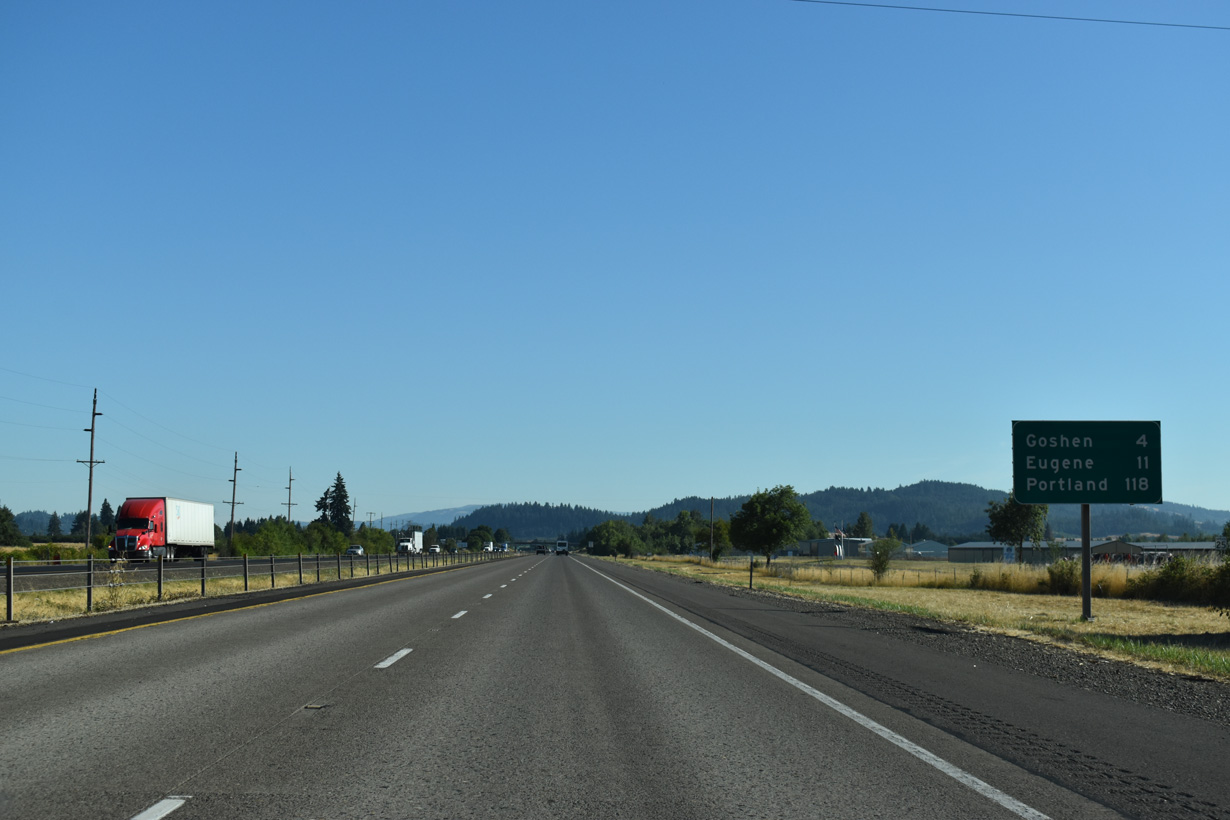
The unincorporated community of Goshen is next along Interstate 5 north from Creswell.
07/16/23
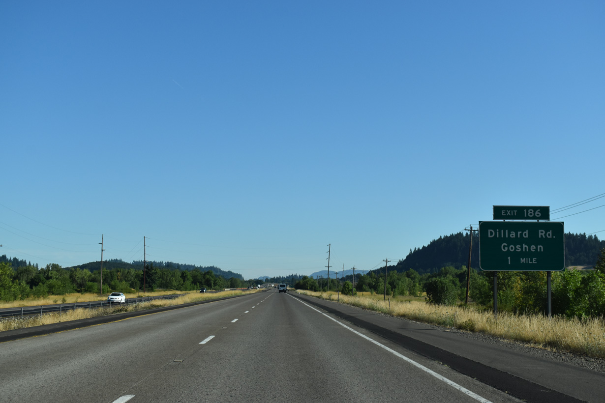
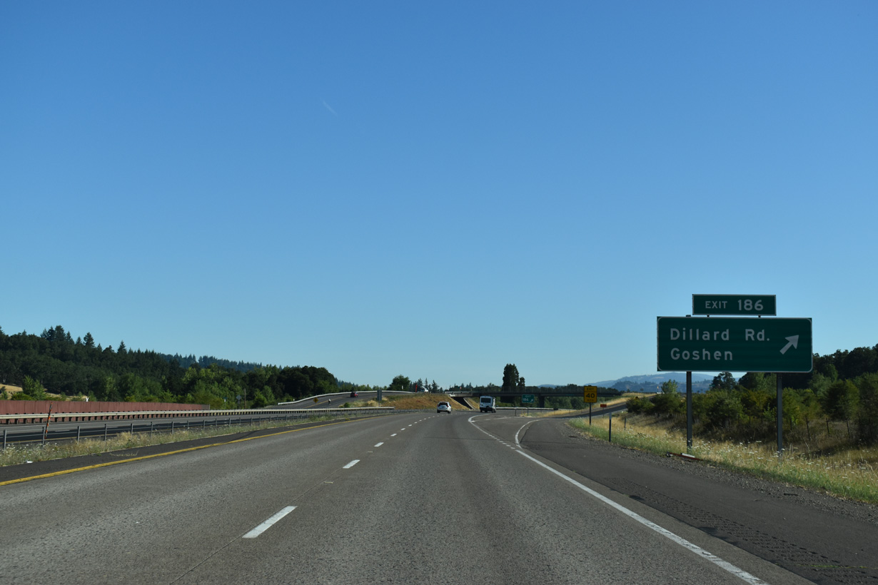
Exit 186 departs I-5 north in one mile to OR 99 and Dillard Access Road. OR 99 and Dillard Access Road both head north alongside Interstate 5 to Goshen. Dillard Road travels west from OR 99 toward Spencers Butte and south Eugene.
07/16/23
Dillard Access Road extends north to Mathews Road near OR 58 (Willamette Highway), and adjacent OR 99. OR 99 parallels the Southern Pacific Railroad line northward into Goshen. Goshen began with the establishment of a post office on September 6, 1874. Goshen was named after the Goshen region in lower Egypt.
07/16/23
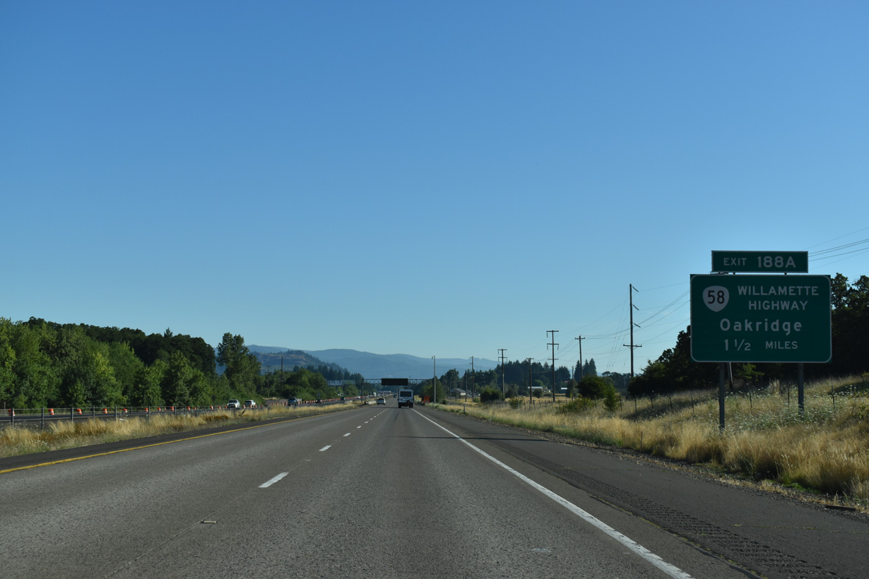
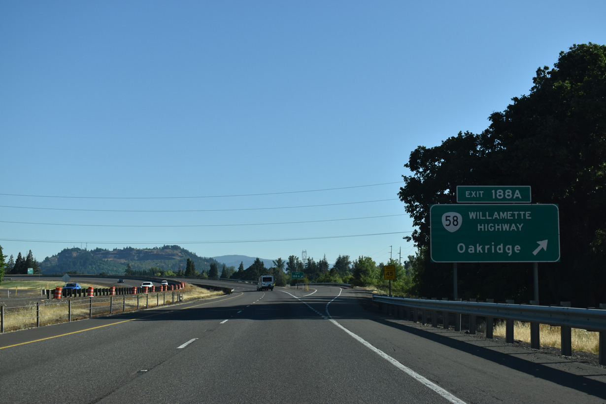
OR 58 (Willamette Highway) west converges with Interstate 5 at a trumpet interchange (Exit 188 A) in Goshen.
07/16/23
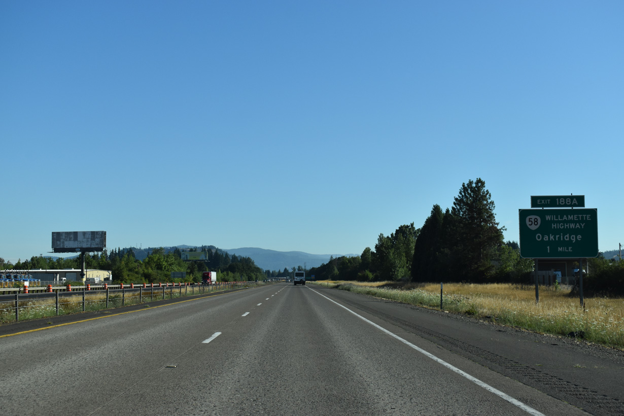
OR 58 comprises a major through route between Eugene and the U.S. 97 corridor east of the Cascade Range. Named Willamette Highway because of the river it parallels, OR 58 leads east four miles to Pleasant Hill, 13 miles to Lowell and 34 miles to Oakridge.
07/16/23
OR 58 (Willamette Highway) is part of a main truck route between Interstate 5 and California via its connection to U.S. 97 east of the Cascades.
07/16/23
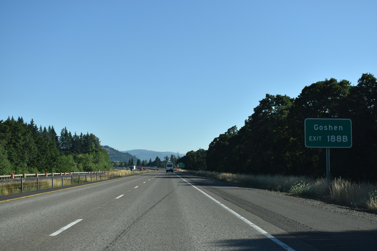
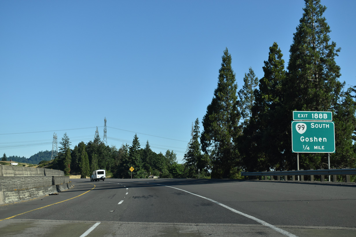
OR 99 lines Franklin Boulevard north from Goshen to meet Interstate 5 again just west of OR 58 at Exit 188 B.
07/16/23
The majority of OR 58 (Willamette Highway) east on the ascent to Willamette Pass (elevation 5,128 feet) travels through Willamette National Forest.
07/16/23
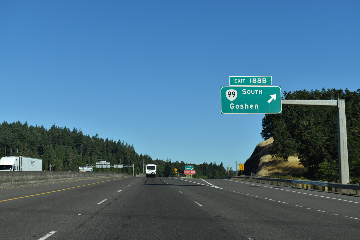
Exit 188 B departs from Interstate 5 north just west of where traffic from OR 58 (Willamette Highway) merges onto the freeway.
07/16/23
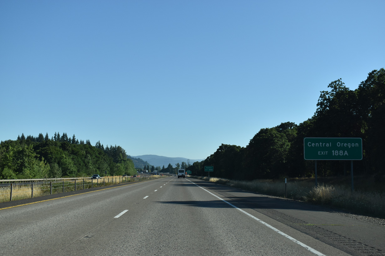
Interstate 5 again subsumes OR 99 north from Exit 188 B to Exit 192. Historic U.S. 99 continues north along Franklin Boulevard from Goshen to OR 225.
07/16/23
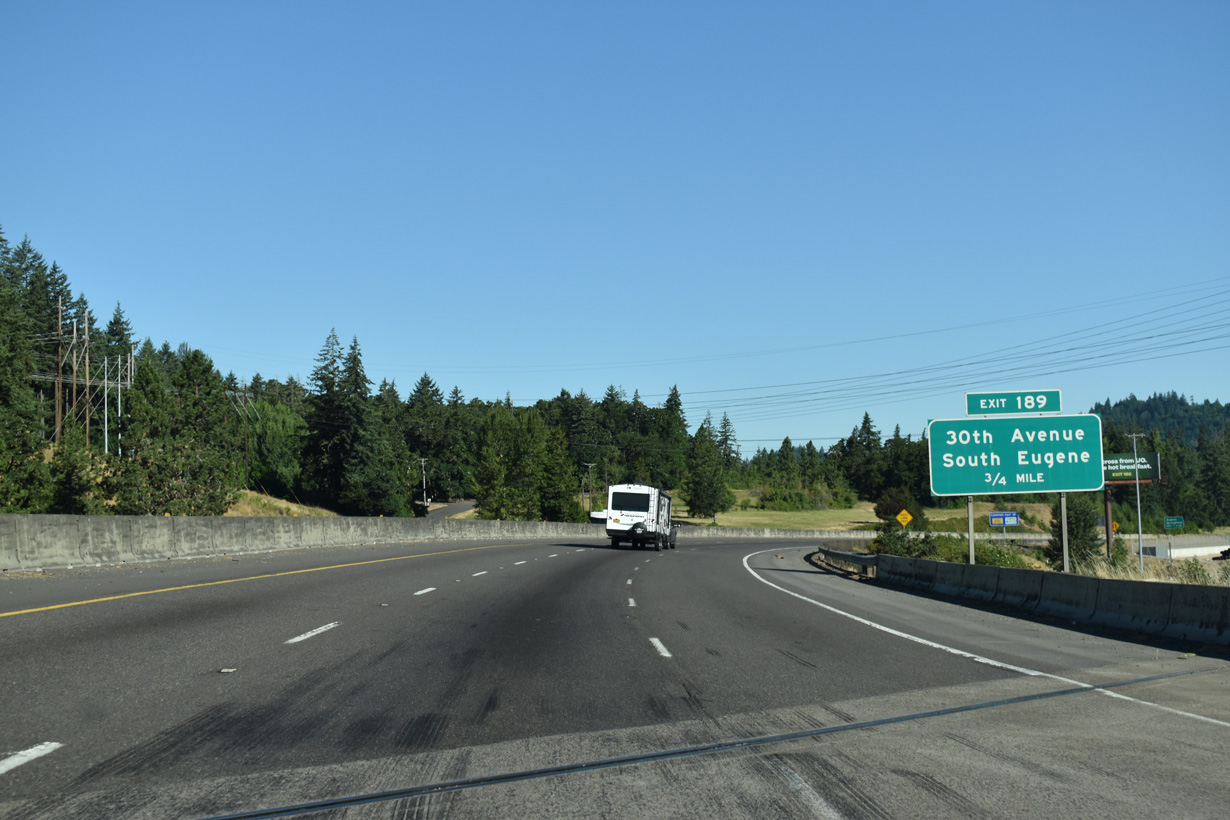
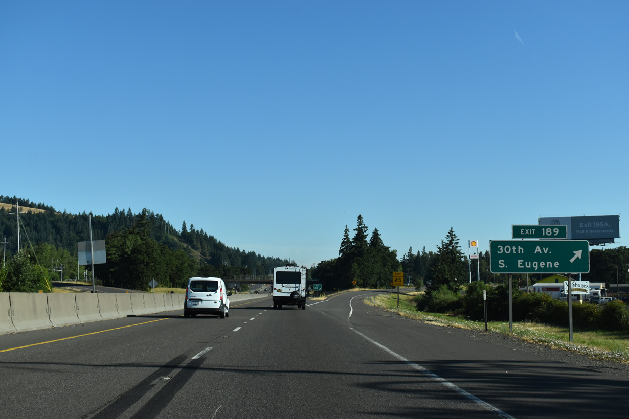
A split diamond interchange (Exit 189) joins I-5/OR 99 with E 30th Avenue near Lane Community College and Franklin Boulevard (OR 225).
07/16/23
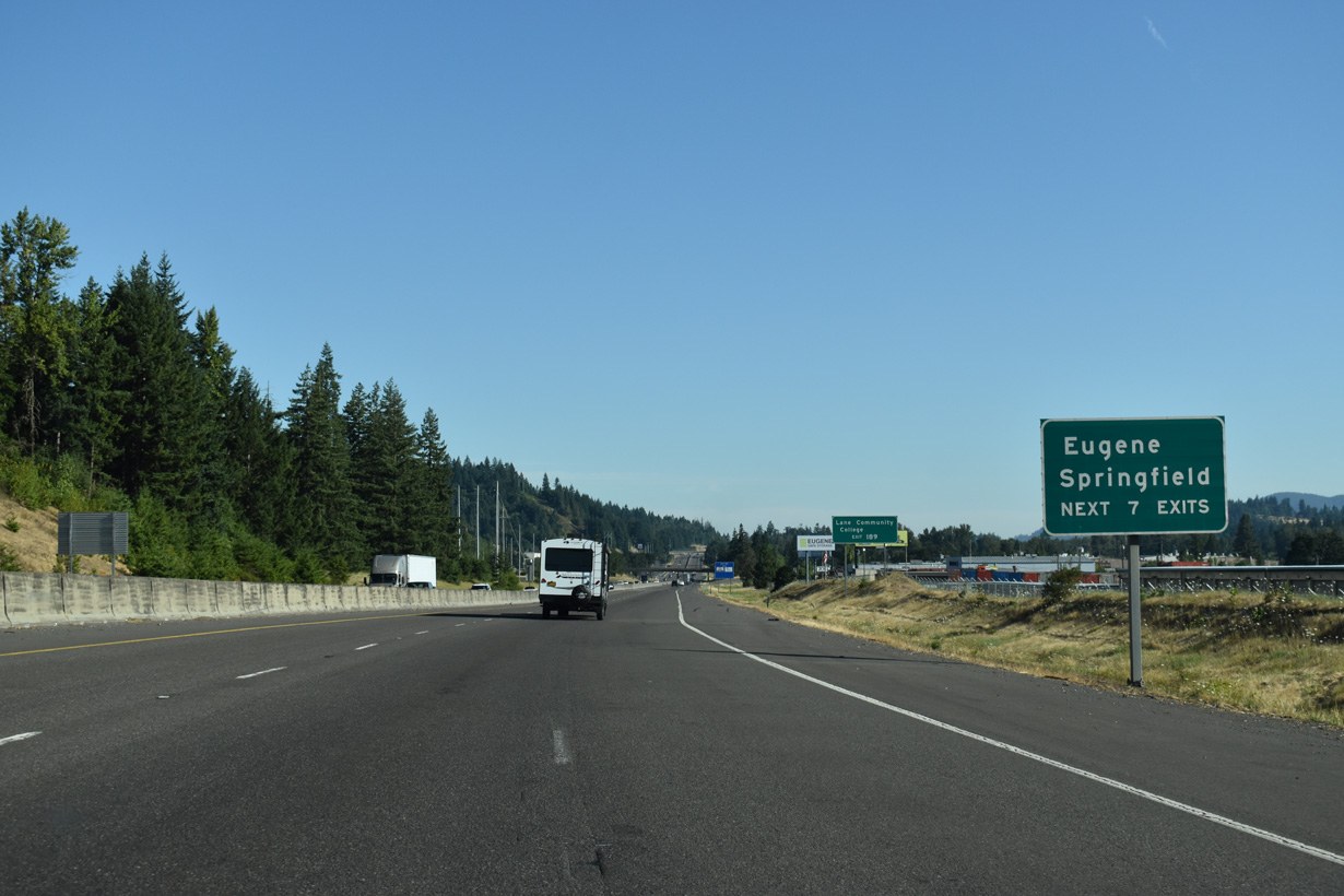
Exit 189 is the first of seven serving the city of Eugene to the west and the city of Springfield to the east.
07/16/23
Franklin Boulevard 2.1 miles north from E 30th Avenue and Exit 189 to a roundabout with OR 126 Business (A / Main Streets) at Glenwood is unsigned OR 225. 30th Street constitutes an expressway from Interstate 5 west to Onyx Street in south Eugene.
07/16/23
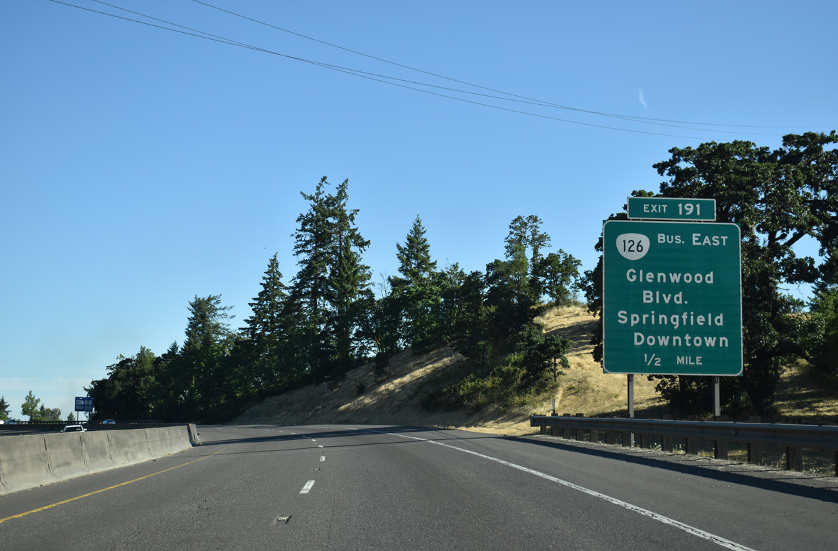
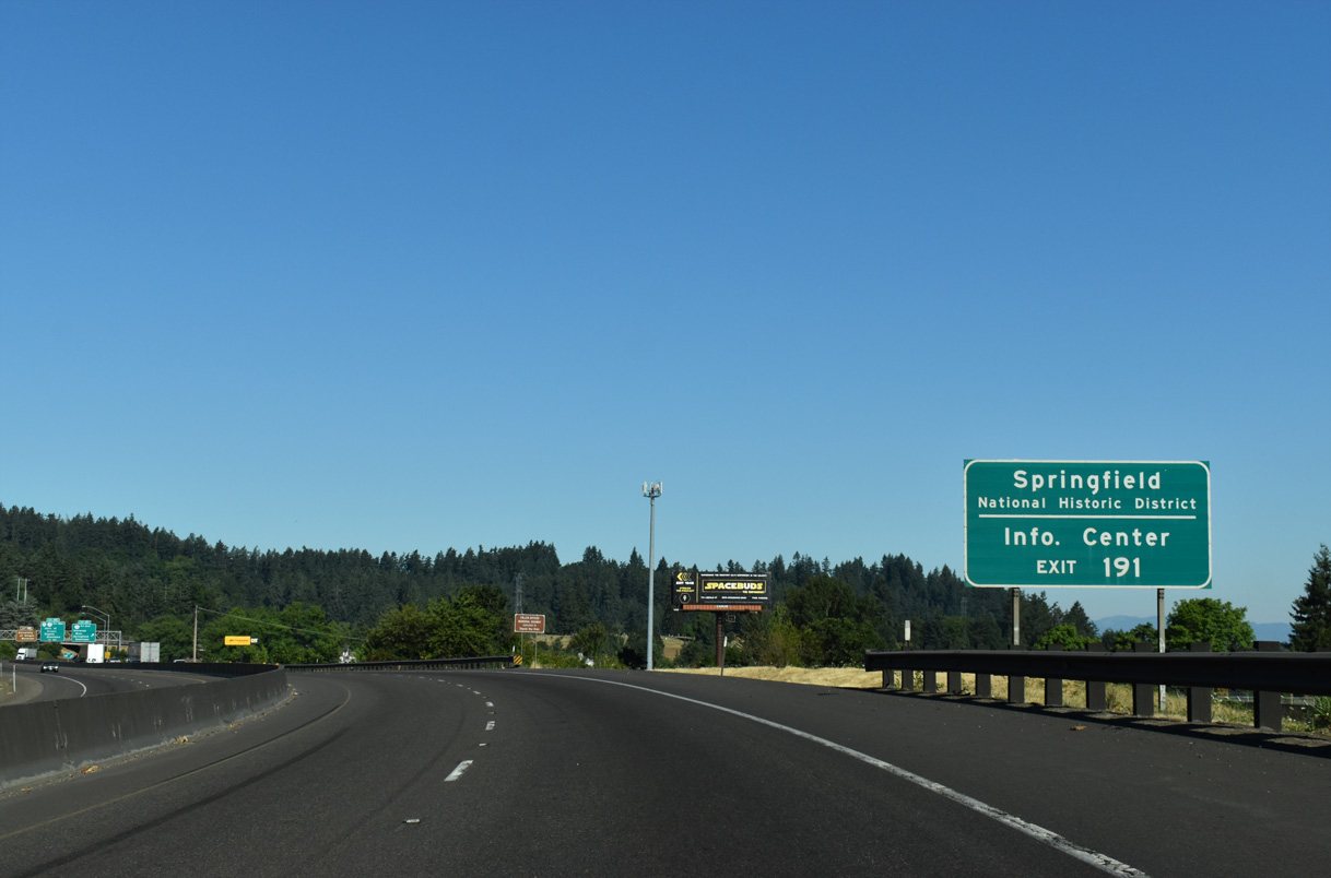
I-5/OR 99 travels through Coryell Pass before curving west into the city of Eugene and a parclo interchange (Exit 191) with Glenwood Boulevard.
07/16/23
Glenwood Boulevard leads north from adjacent Brackenfern and Moon Mountain Roads to OR 126 Business (Franklin Boulevard). OR 126 Business travels east across the Willamette River to Downtown Springfield.
07/16/23
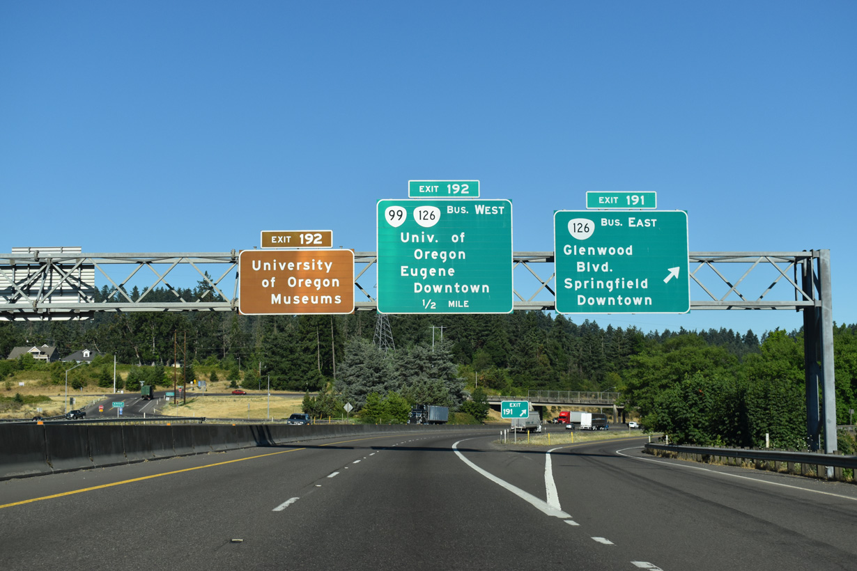
OR 126 Business (Franklin Boulevard) continues west from Glenwood and Glenwood Boulevard below the Whilamut Passage Bridge along Interstate 5. The state route combines with OR 99 west to the Eugene city center.
07/16/23
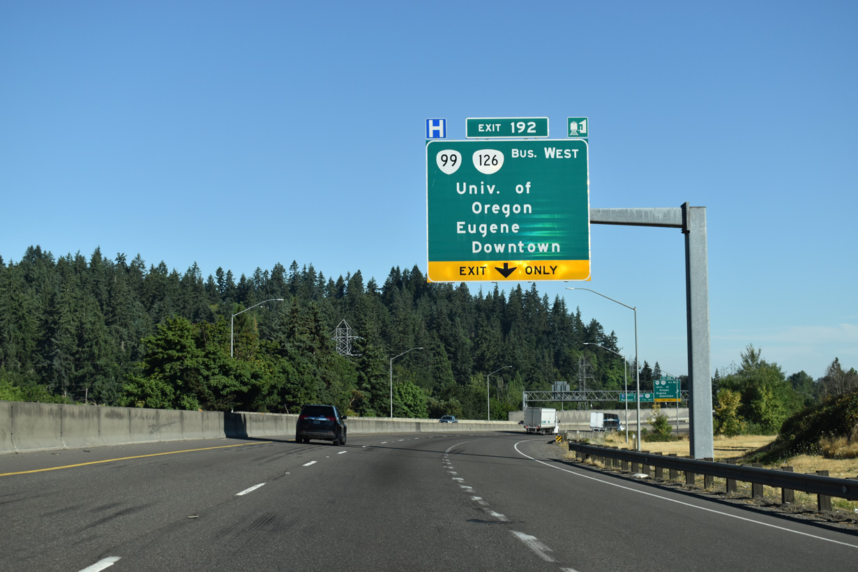
OR 99 departs from I-5 at Exit 192 to combine with OR 126 Business (Franklin Boulevard) west to the University of Oregon campus. The University of Oregon Ducks football team play their home games at Autzen Stadium, located north of the Willamette River along Centennial Boulevard.
07/16/23
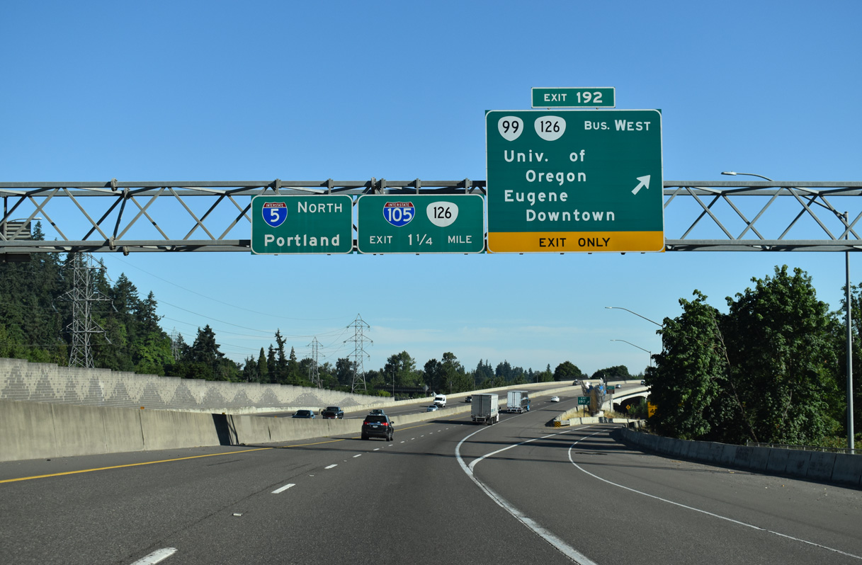
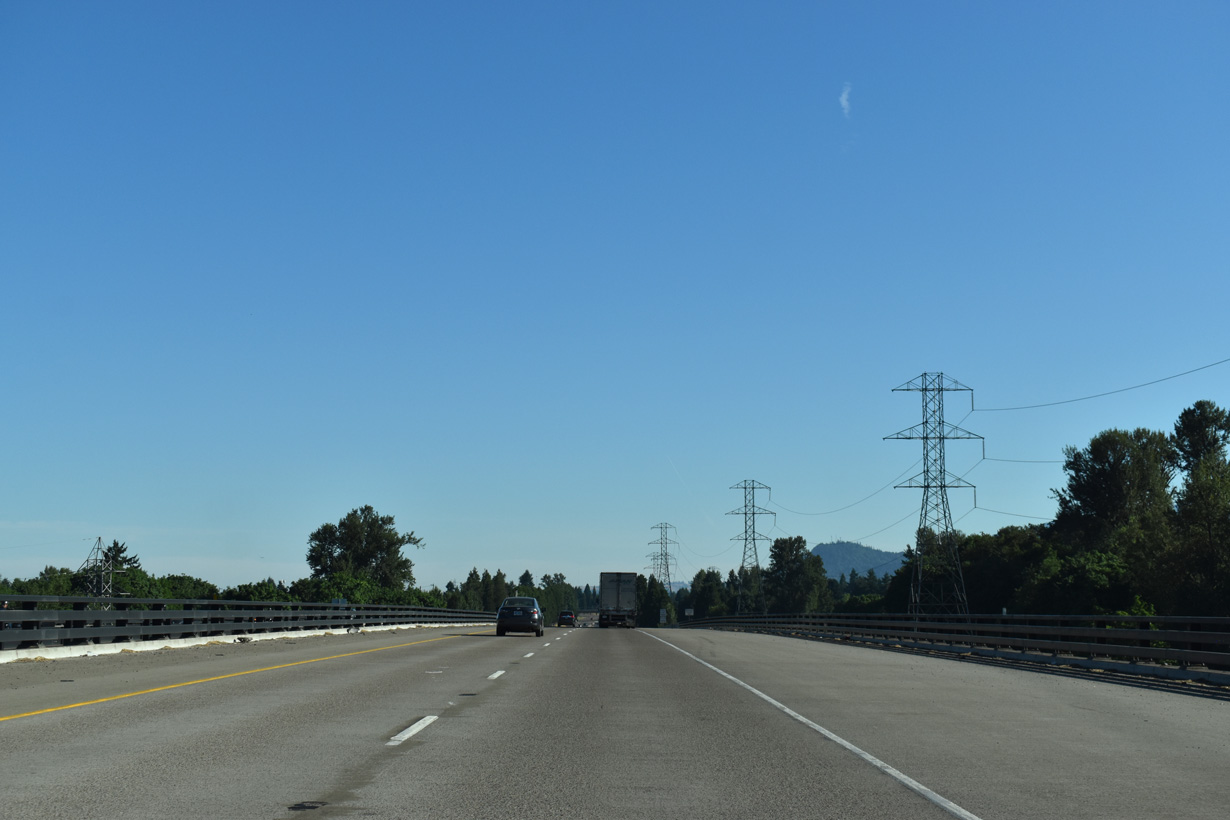
OR 126 Business follows the former alignment of U.S. 126 through both Eugene and Springfield. OR 126 follows a freeway north of Downtown Springfield and overlaps with I-105 west of Exit 194.
07/16/23
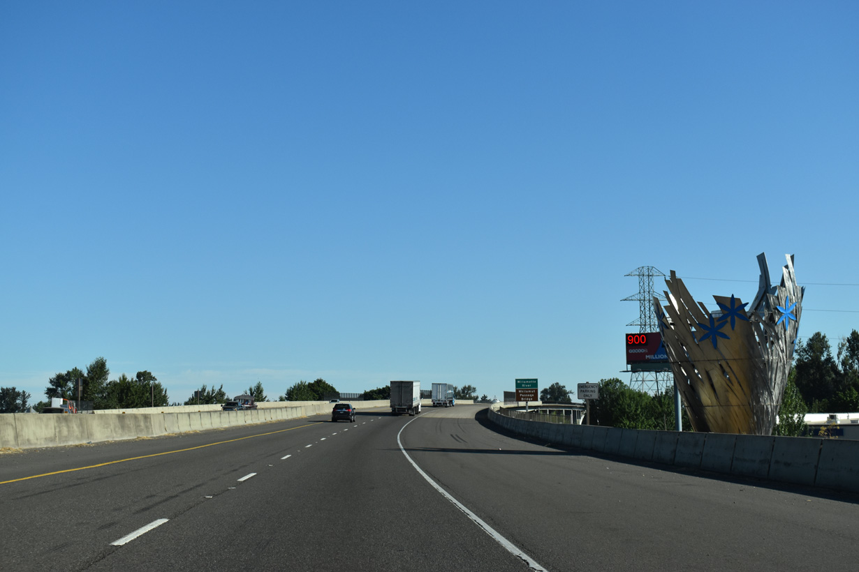
One of several sculptures acknowledging the heritage of the Kalapuya Native American tribe of the Willamette Valley that was added as part of the Willamette River Bridge Project started in May 2009 (Federal Highway Administration, 2017).
07/16/23
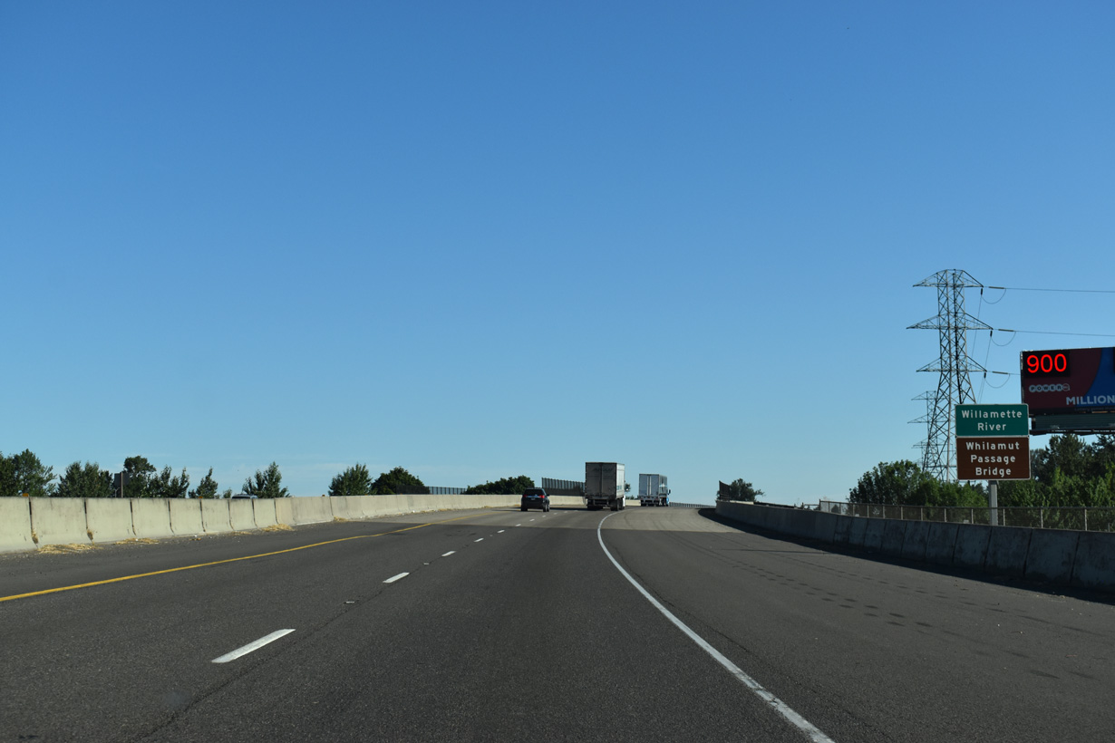
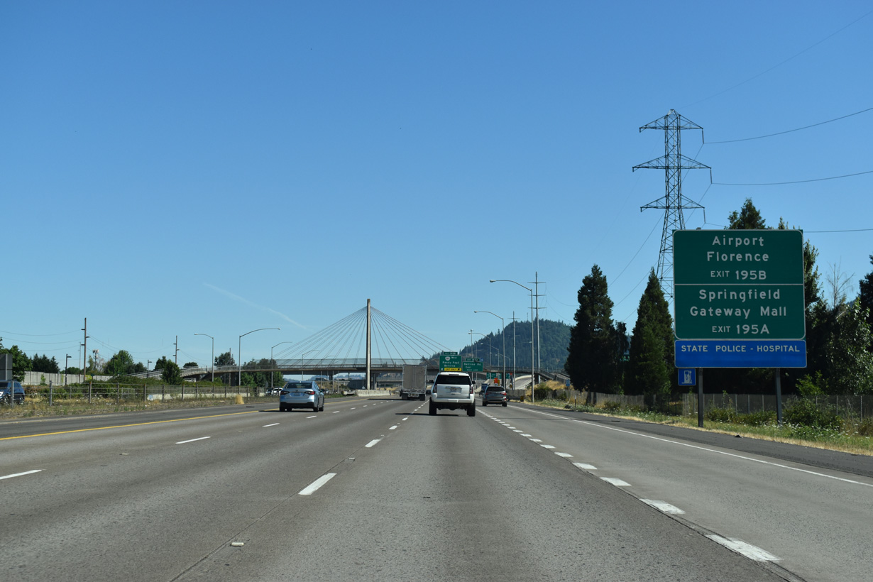
Interstate 5 crosses the Whilamut Passage Bridge with four overall lanes. Built in 1961, the previous bridge over the Willamette River was deemed unsafe for heavy freight traffic by ODOT due to the discovery of shear cracks in 2002 (Federal Highway Administration, 2017).
07/16/23
Separate spans for the two roadways along Interstate 5 were built as part of the Willamette Bridge Project. Each bridge can accommodate a third lane.
07/16/23
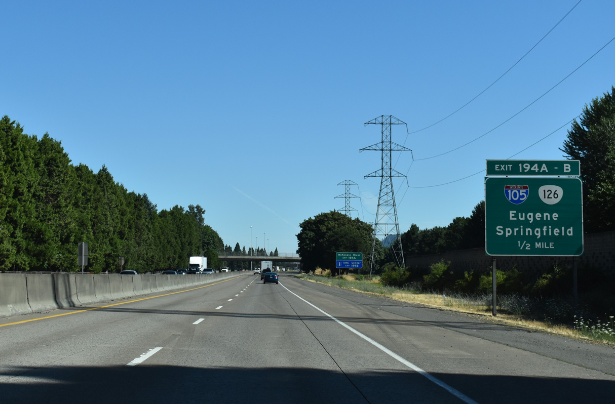
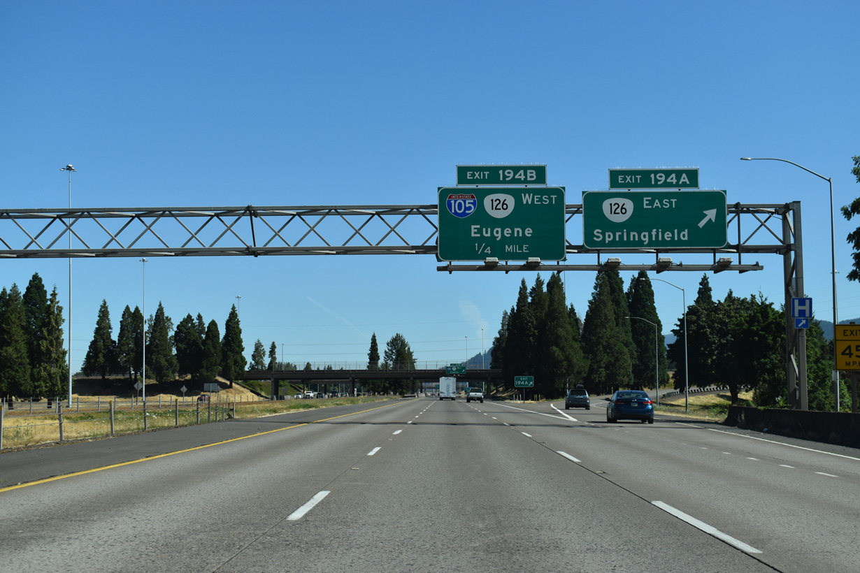
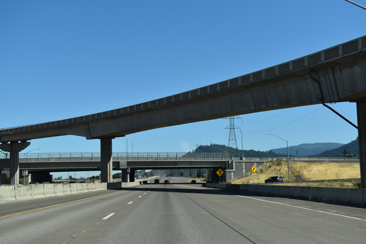
The directional cloverleaf interchange at Exit 194 connects I-5 with I-105/OR 126 west to Downtown Eugene and OR 126 (McKenzie Highway) east across Springfield.
07/16/23
OR 126 extends 5.4 miles east along freeway from Exit 194 A to 52nd Street in Springfield. The state route travels 72 miles from Springfield to U.S. 20 in the Cascade Mountains.
07/16/23
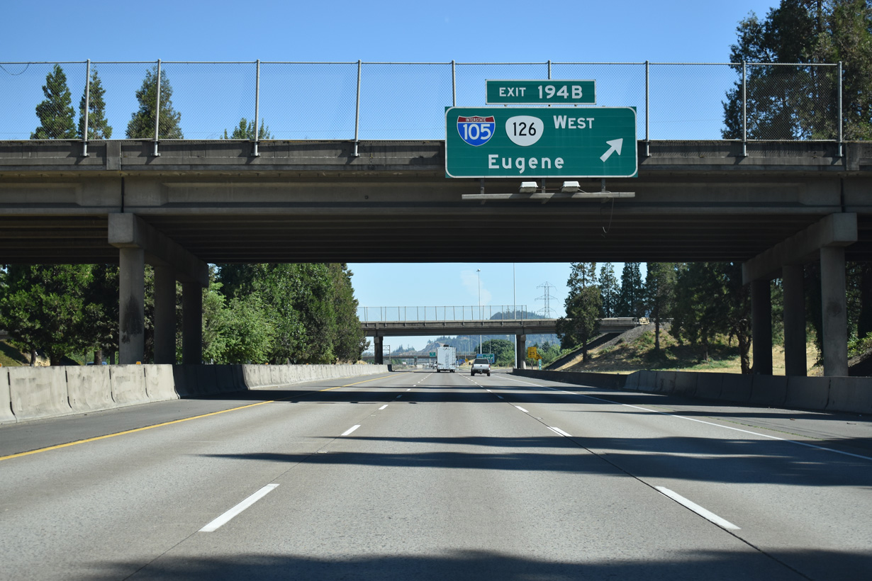
I-105/OR 126 comprise an urban freeway spur leading west from Exit 194 B to Delta Highway by Valley River Center mall and southa cross the Willamette River into Downtown Eugene.
07/16/23
The final exit for Eugene and Springfield joins Interstate 5 with OR 569 (Randy Papé Beltine), a freeway to west Eugene.
07/16/23
Interstate 5 continues along the Eugene / Springfield city line, passing The Shoppes at Gateway retail center north of Harlow Road.
07/16/23
Belt Line Road extends east from the end of OR 569 at Gateway Street. Gateway Street runs south to The Shoppes at Gateway (former Gateway Mall) while Beltline Road becomes Martin Luther King, Jr. Parkway to the east.
07/16/23
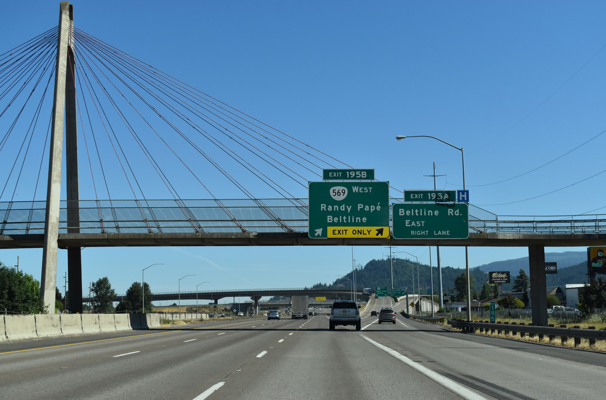
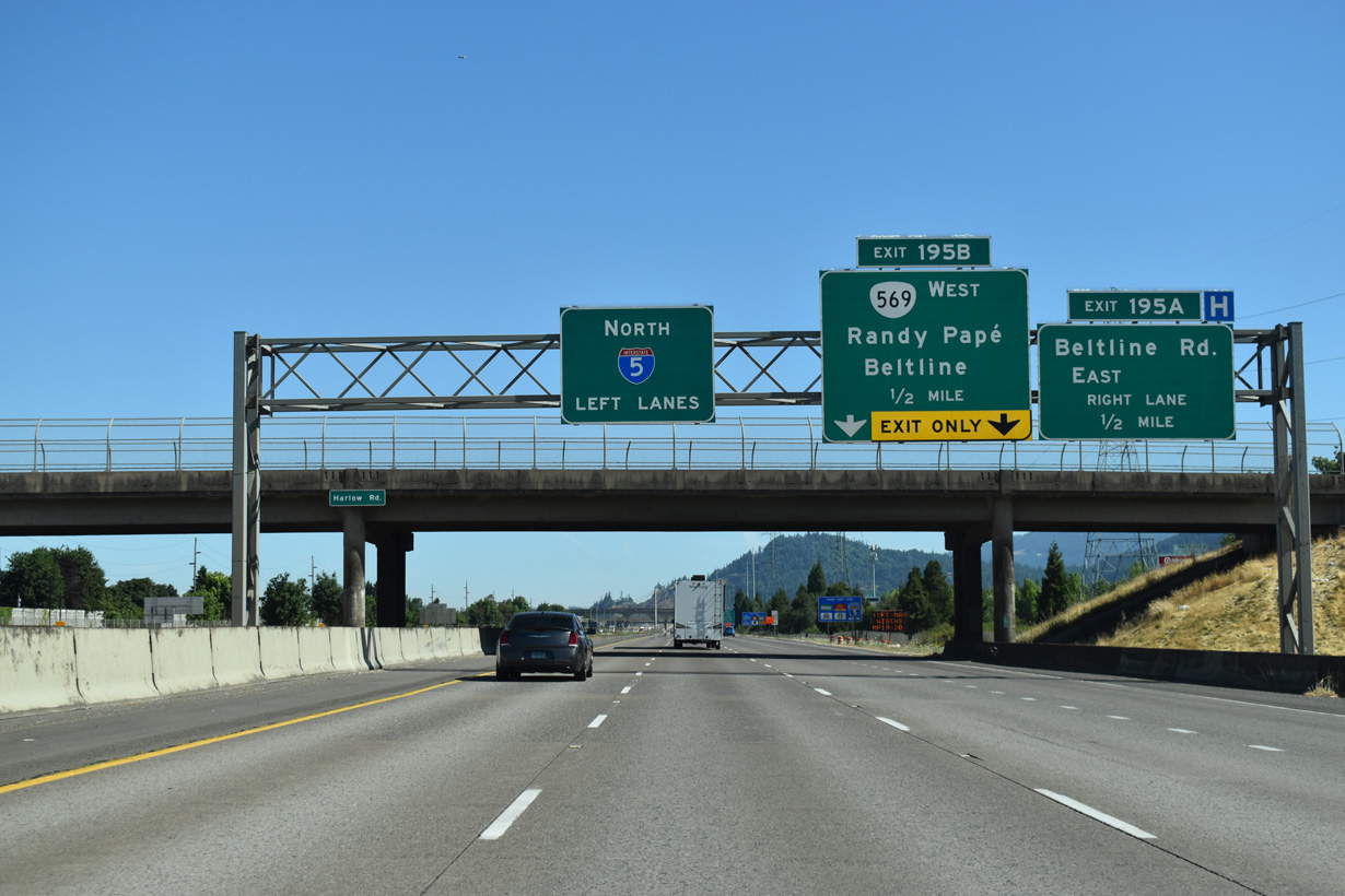
Two lanes separate from Interstate 5 north at the pedestrian bridge to The Shoppes at Gateway for OR 569 (Beltline Highway) west and Beltline Road east.
07/16/23
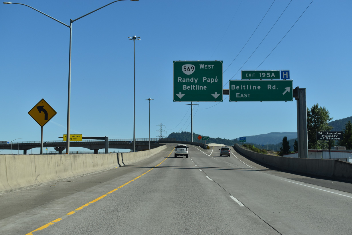
Eugene Airport (EUG) lies 9.7 miles northwest of the flyover (Exit 195 A) for OR 569 west. OR 569 encircles Eugene west to OR 126 (W 11th Avenue).
07/16/23
The six lane section of Interstate 5 through Eugene concludes at the cloverstack interchange (Exit 195) with OR 569 (Randy Papé Beltline).
07/16/23
Construction underway in 2007/08 reconfigured the exchange with OR 569 (Belt Line Highway). A high speed flyover replaced the loop ramp (Exit 195 B) for OR 569 west and the loop ramp from I-5 south to Beltline Road east was replaced with a signalized left turn.
07/16/23
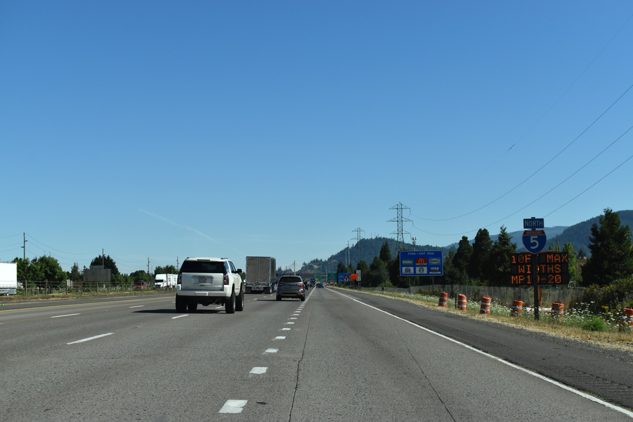
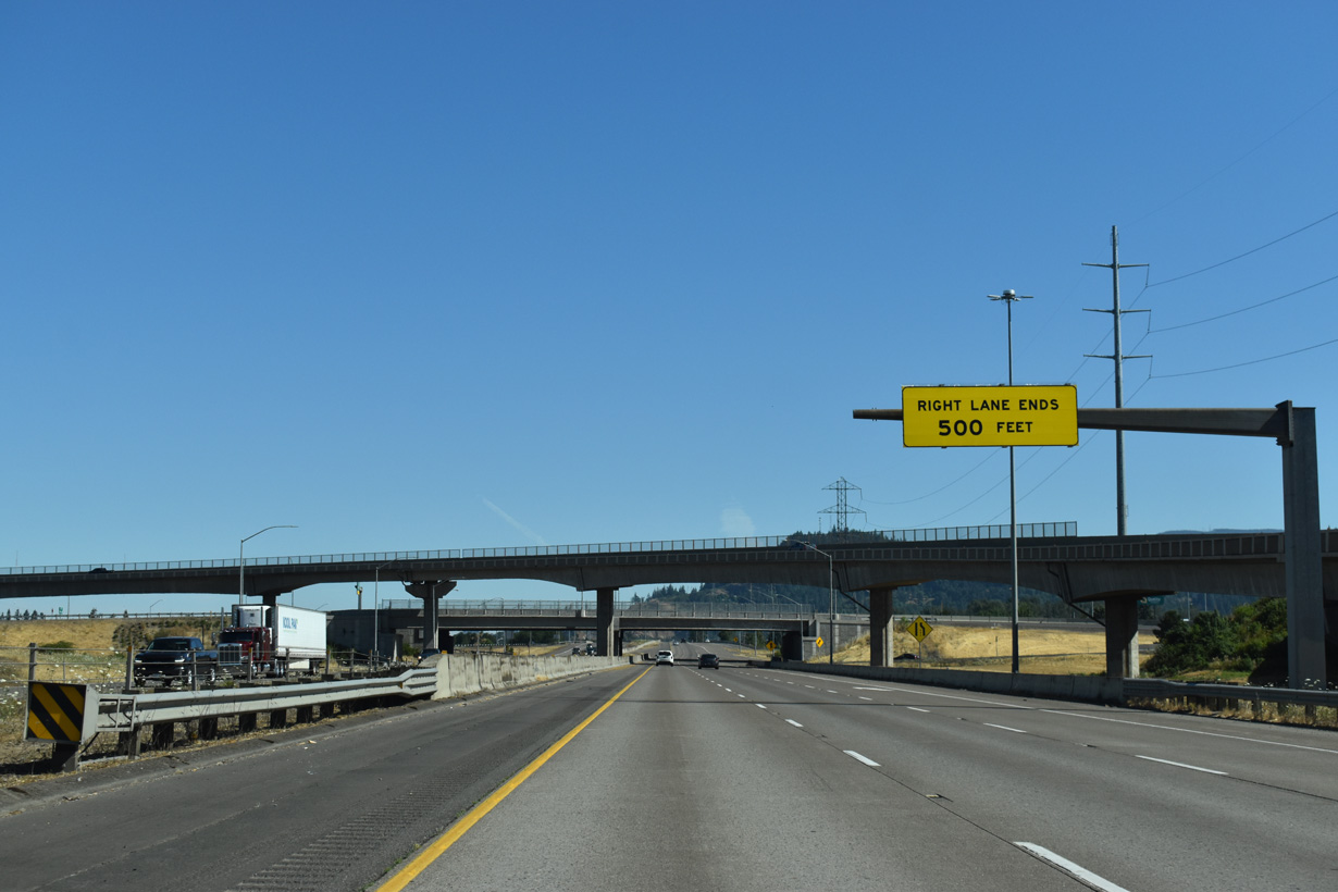
Leaving Eugene, Interstate 5 crosses agricultural areas west of the McKenzie River.
07/16/23
Spores Point rises to the north as Interstate 5 advances three miles north to the city of Coburg.
07/16/23
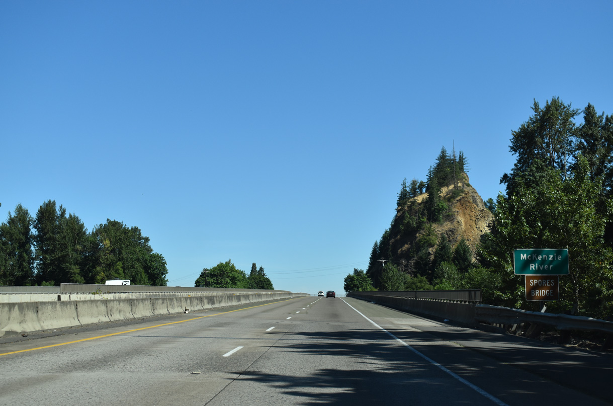
Interstate 5 crosses the Spores Bridge over the McKenzie River. The bridge is named for Jacob Spores, one of the original settlers of Coburg.
07/16/23

References:
Federal Highway Administration. (2017, June 28). Willamette River Bridge Project. https://www.fhwa.dot.gov/planning/css/case_studies/willamette/
Photo Credits:
- Brent Ivy: 07/16/23
Connect with:
Page Updated Monday August 18, 2025.