
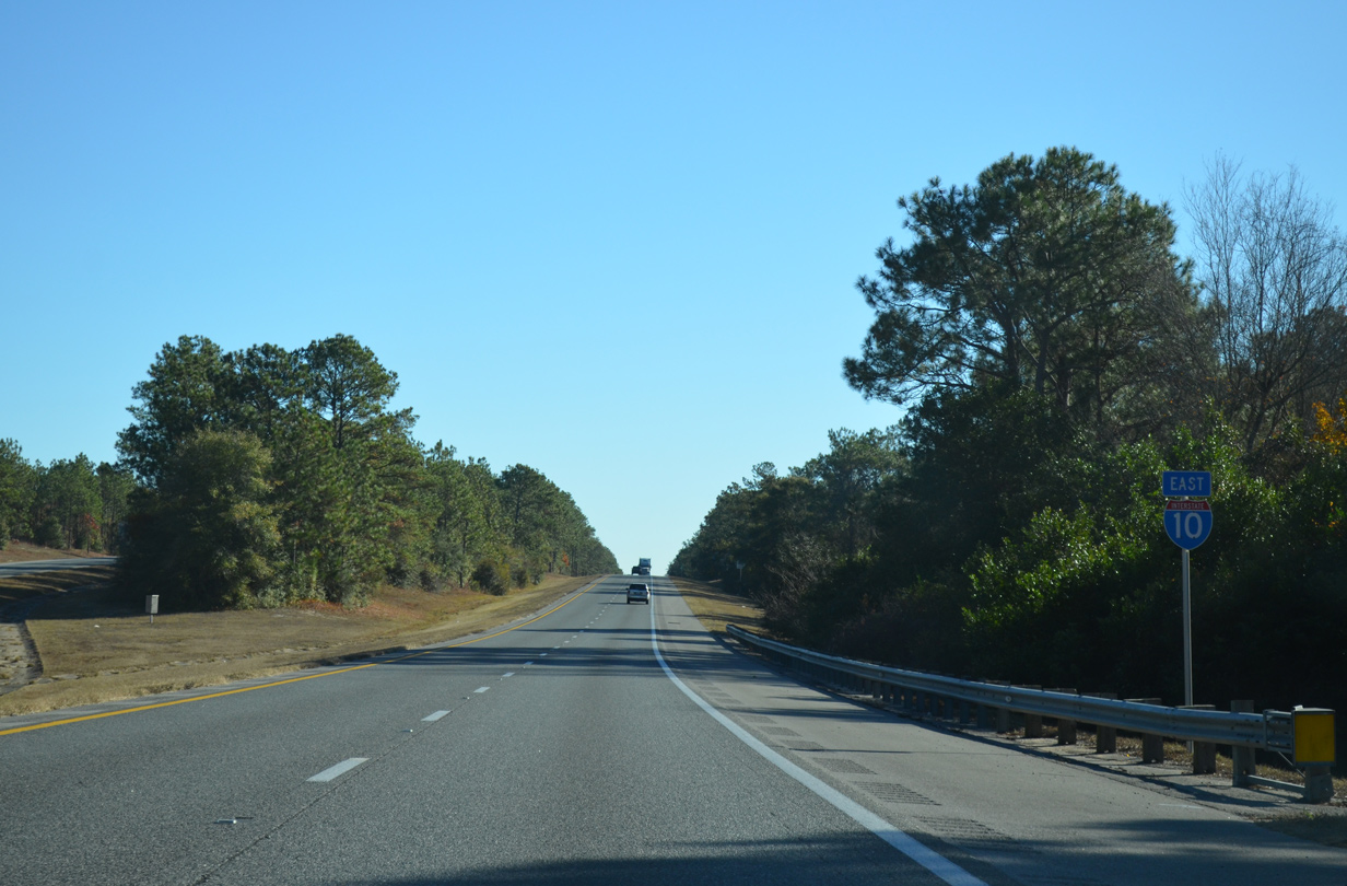
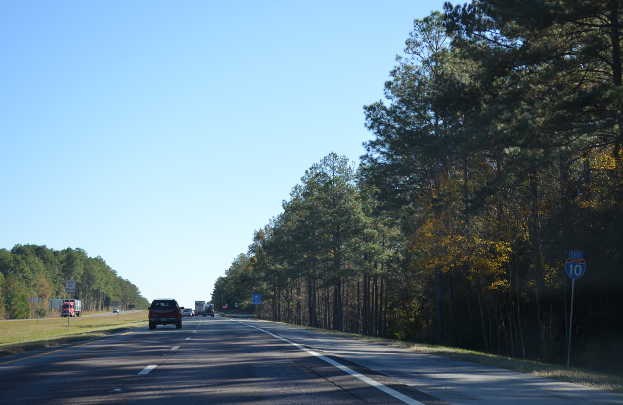
Interstate 10 East - Okaloosa / Walton Counties
 East
East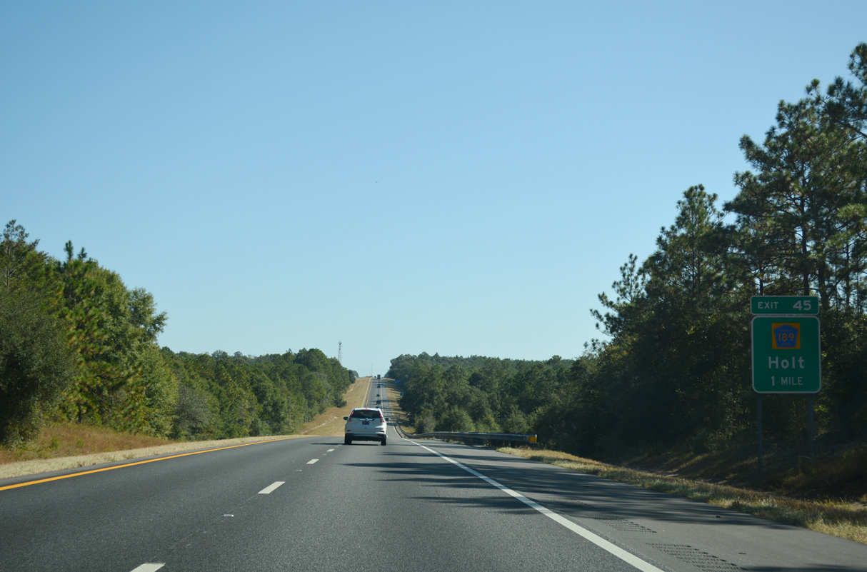
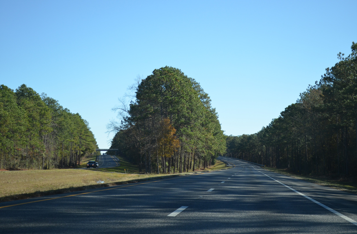
Interstate 10 advances one mile east from Canoe Creek to a rural diamond interchange (Exit 45) with Okaloosa County Road 189 (Log Lake Road).
10/13/16
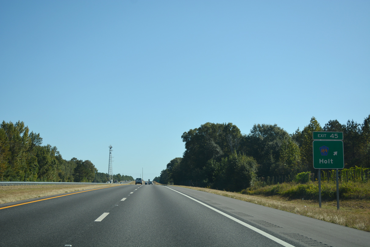
CR 189 (Log Lake Road) constitutes a 2.03 mile spur south from U.S. 90 (Old Spanish Trail) at the community of Holt to I-10 and and Whippoorwhill Drive.
10/13/16
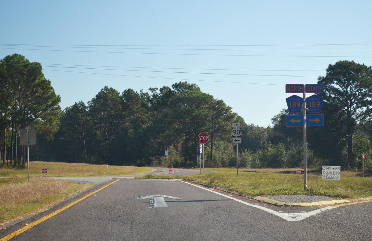
CR 189 (Log Lake Road) previously ended just south of Exit 45 at Broxson Road. The route north connects with U.S. 90 east to Galliver and Milligan.
11/03/12
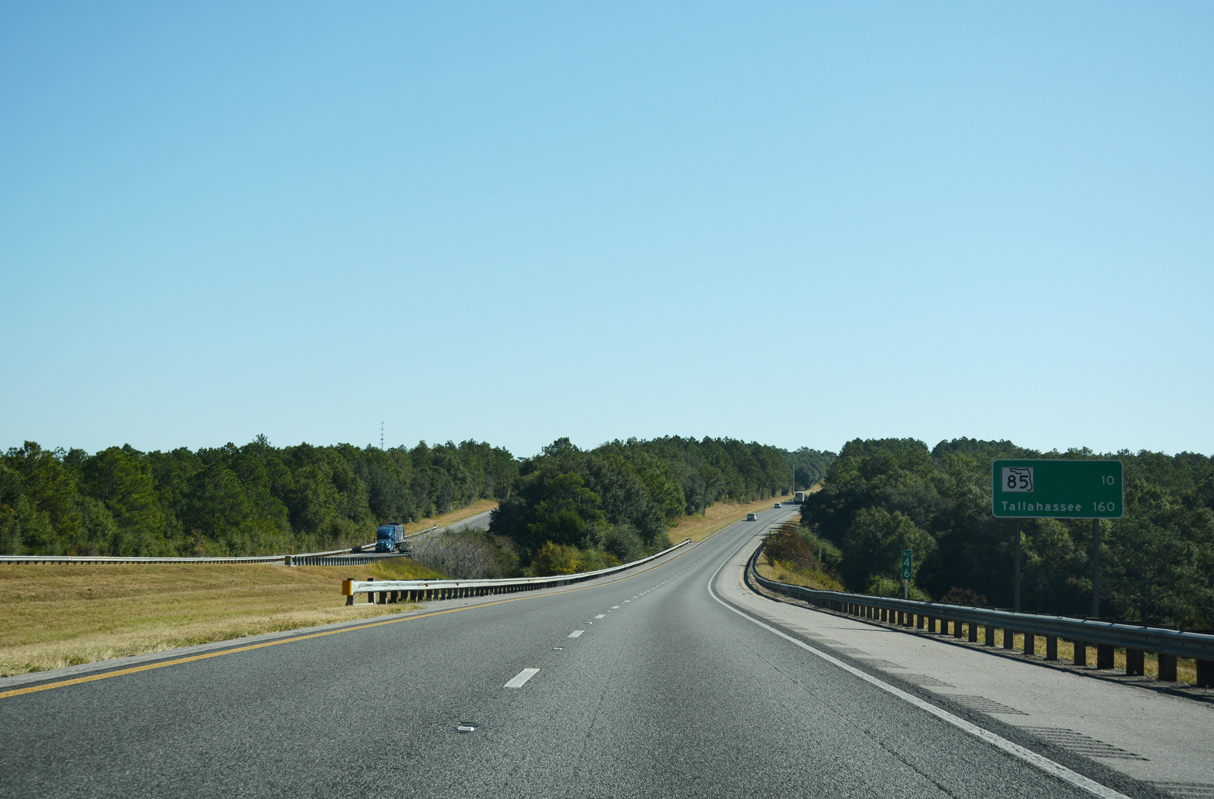
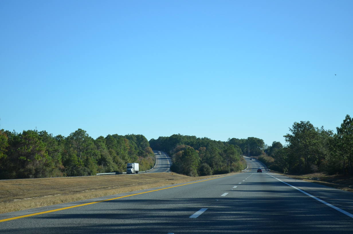
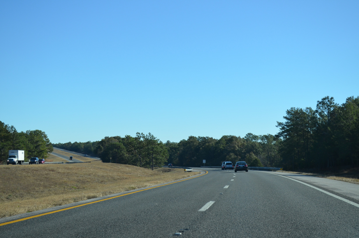
Continuing east from CR 189 and Trawick Creek, I-10 travels ten miles to SR 85 at Crestview and 160 miles to Tallahassee.
10/13/16
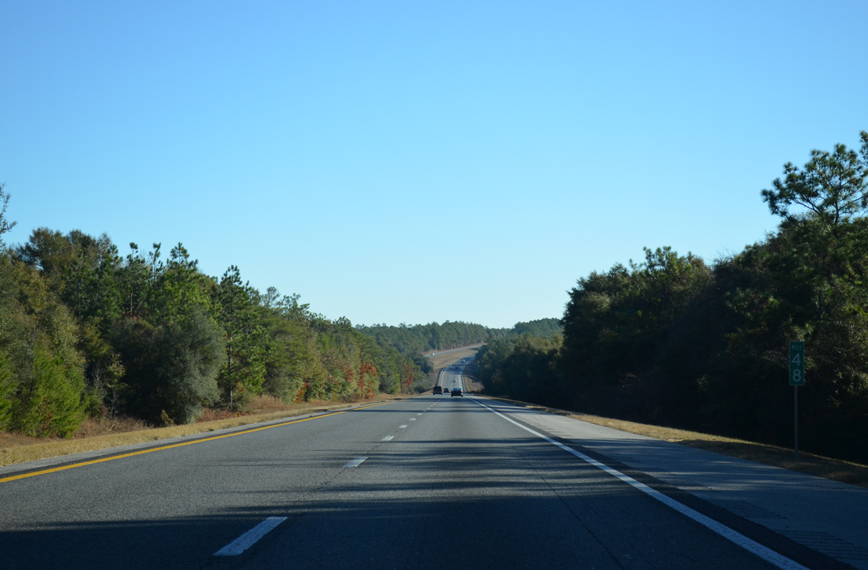
Running along bluffs north of the Yellow River, Interstate 10 crosses Wilkinson Creek beyond milepost 48.
11/26/14
The freeway drops 50 feet in elevation to cross the Yellow River.
10/13/16
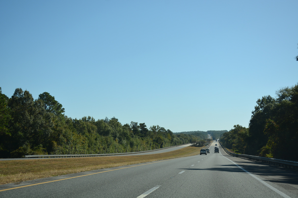
Rising to over 150 above sea level from the Yellow River, a roadway split precedes the CR 4 (Antioch Road) overpass. Future road work will add a diamond interchange with P.J. Adams Parkway adjacent to Antioch Road.
11/26/14
Interstate 10 shifts northward beyond CR 4 along several subdivisions into the city of Crestview.
11/26/14
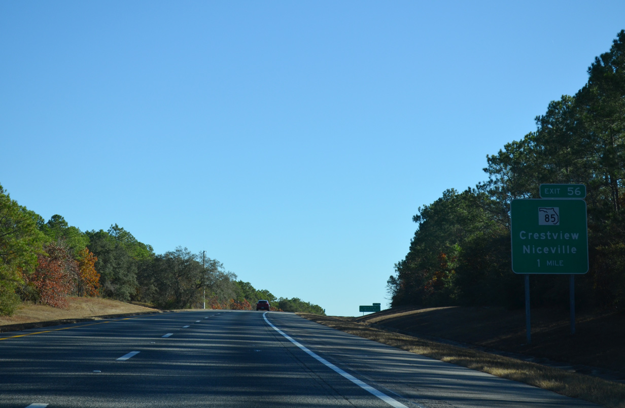
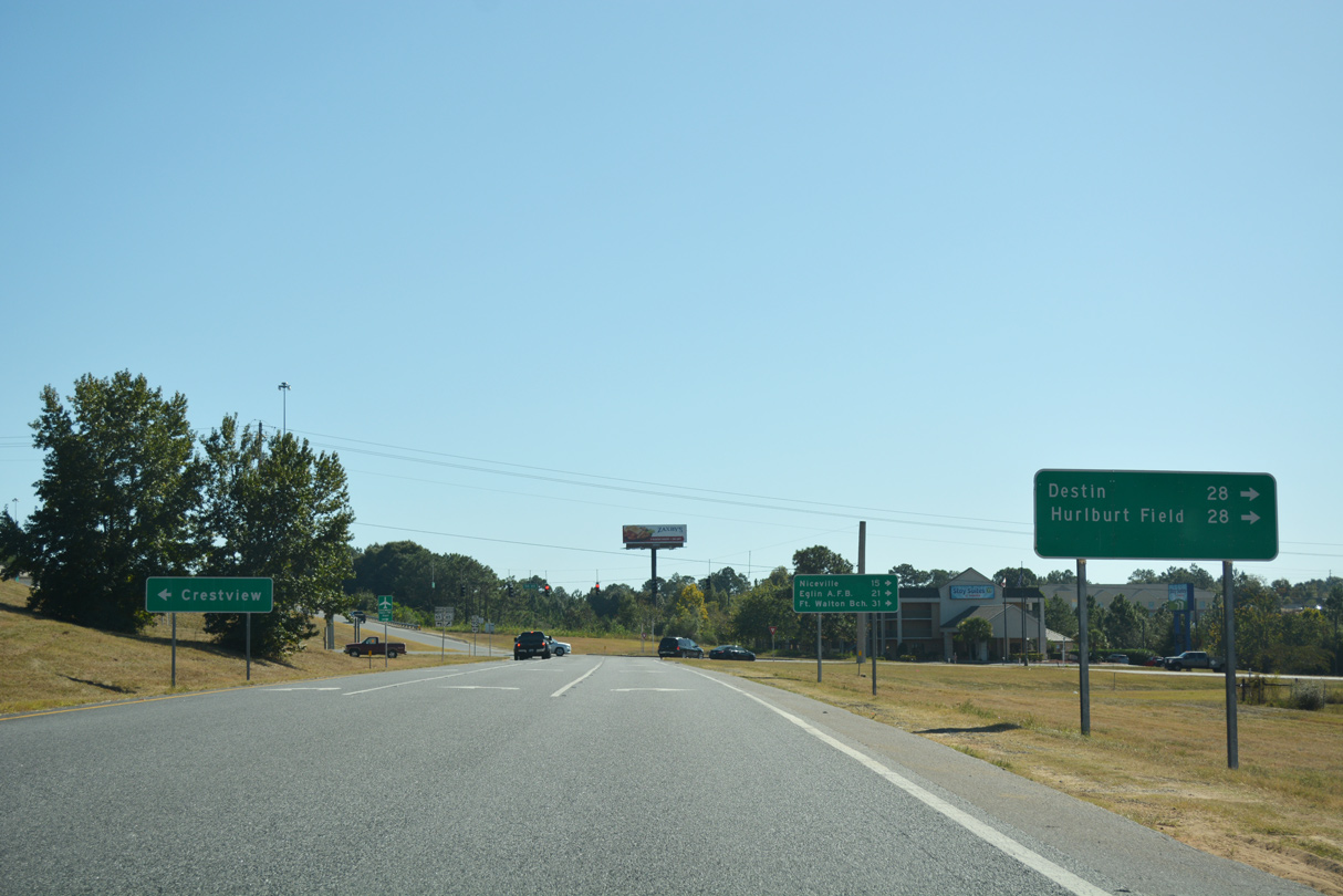
SR 85 (Ferdon Boulevard) meets I-10 along a commercial strip extending south from Downtown Crestview. SR 85 comprises the main route to the Okaloosa County seat from Niceville, Valparaiso and Fort Walton Beach.
11/26/14
SR 85 runs across Eglin Air Force Base southward en route to Hurlburt Field, Fort Walton Beach, Mary Esther and Okaloosa Island along the Gulf of Mexico coastline.
11/26/14
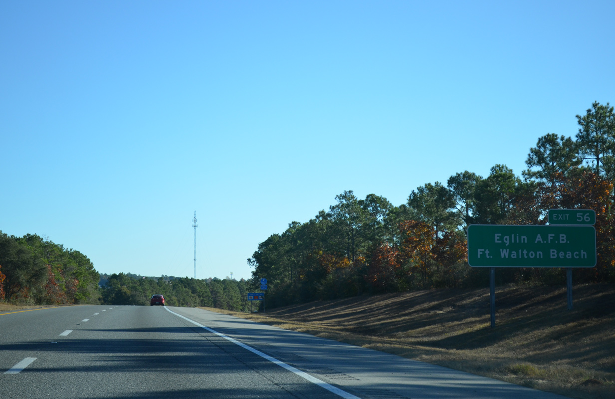
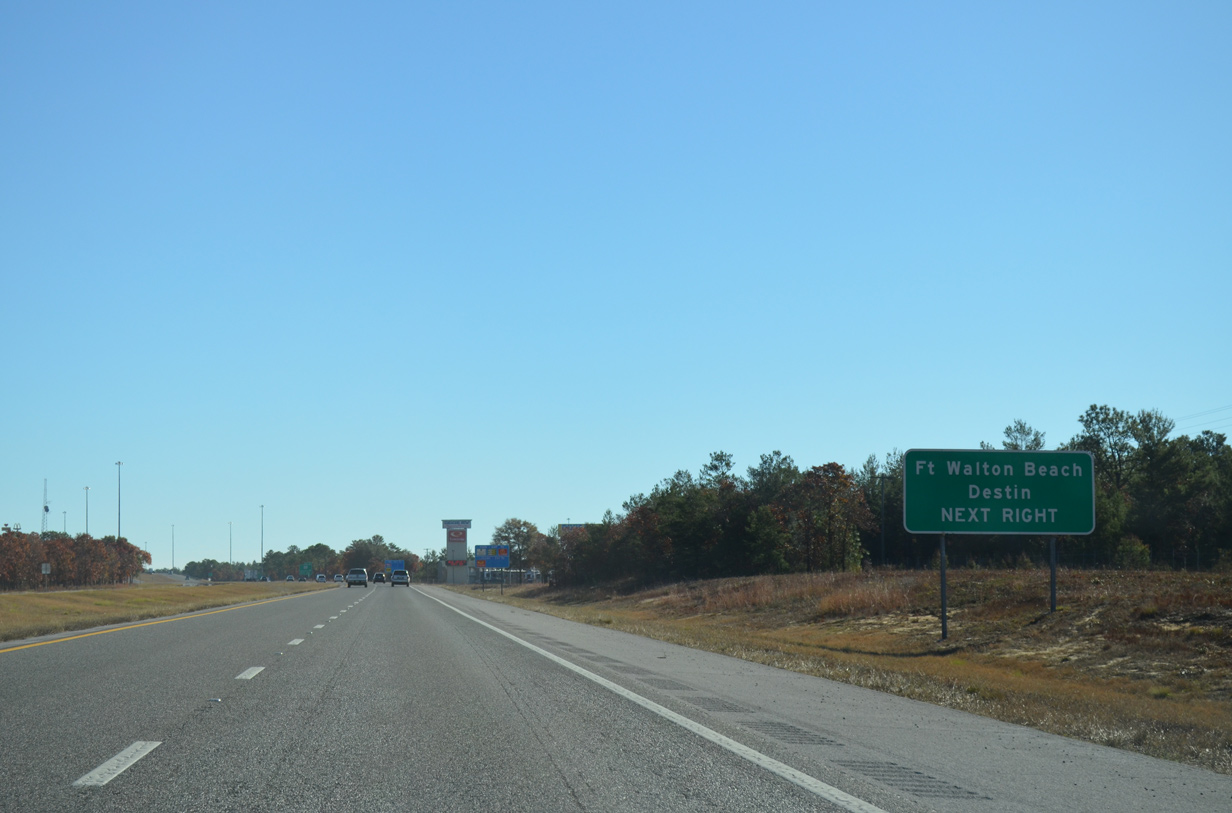
Fort Walton Beach lies 25 miles south of Exit 56 along Choctawhatchee Bay and Santa Rosa Sound. Northward SR 85 continues 28 miles to Alabama State Route 55 at Florala.
10/13/16
SR 85 south to the Mid-Bay Connector (SR 293) provides a direct route from Exit 56 to U.S. 98 between Destin and Miramar Beach.
10/13/16
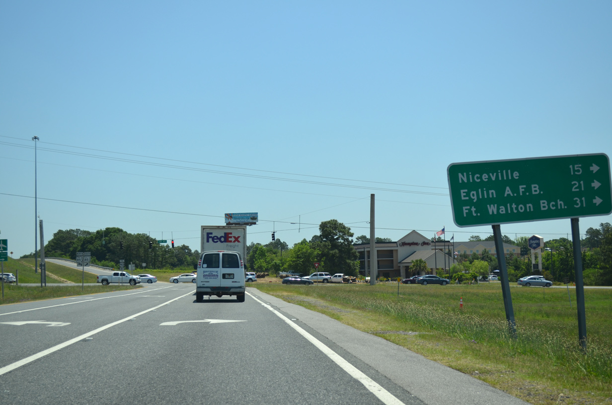
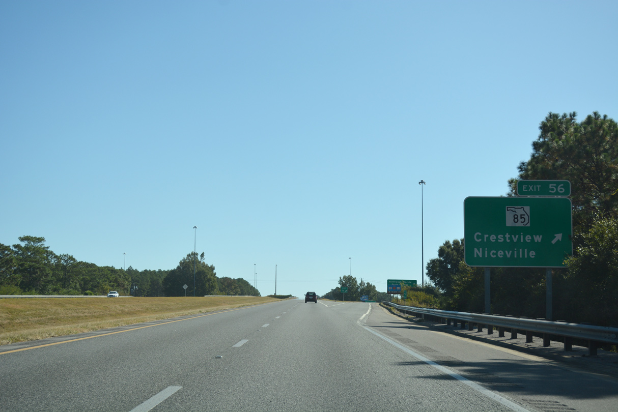
The distance sign at Exit 56 is inaccurate. SR 85 in conjunction with SR 123, which bypasses Niceville and Valparaiso, leads 24.5 miles to Downtown Fort Walton Beach. With the eastern loop through Niceville, SR 85 still reaches Downtown in 28 miles.
05/22/14

SR 85 shields at the diamond interchange with Interstate 10 in Crestview.
05/22/14
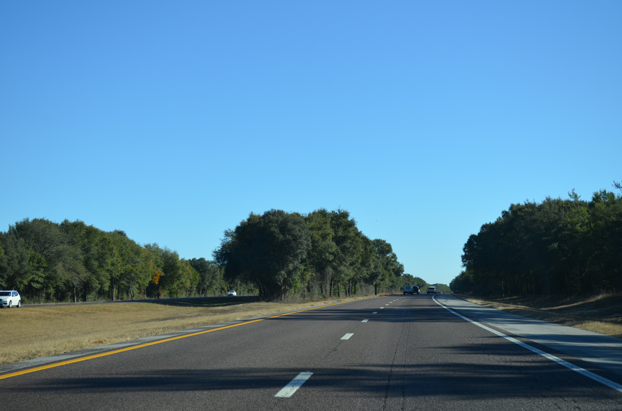
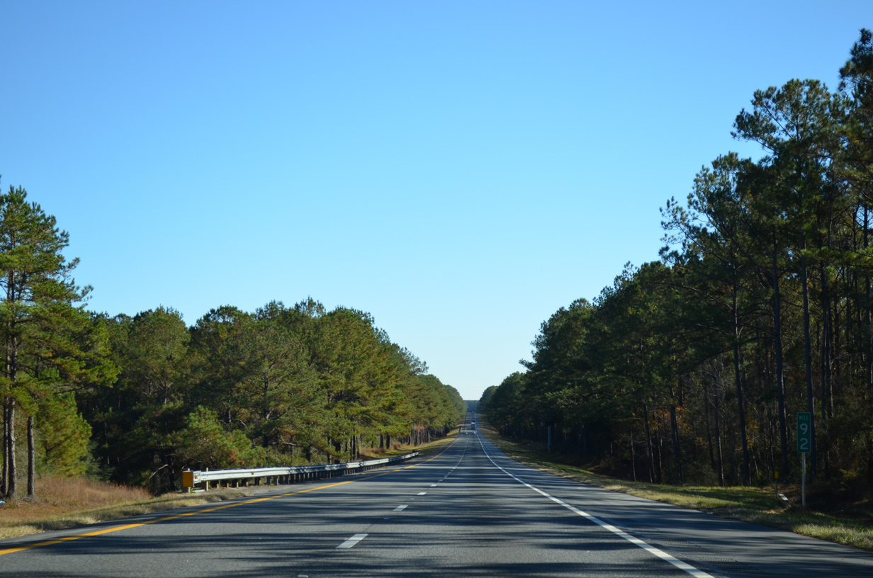
Interstate 10 crosses King Branch through eastern reaches of the Crestview city limits before resuming through rural areas of timberland.
11/26/14
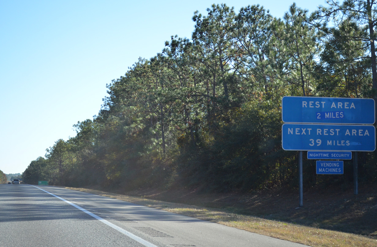
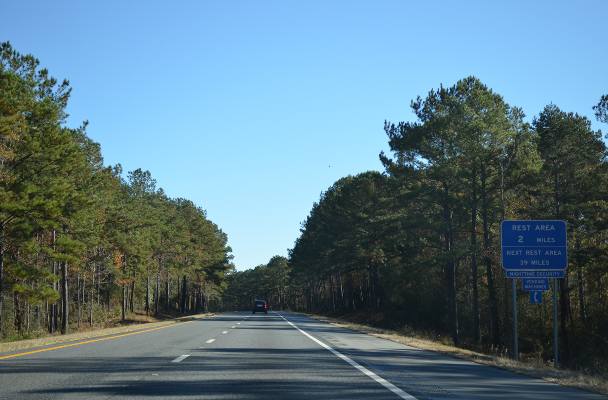
The third Florida rest area follows in two miles east of the Shoal River.
11/26/14
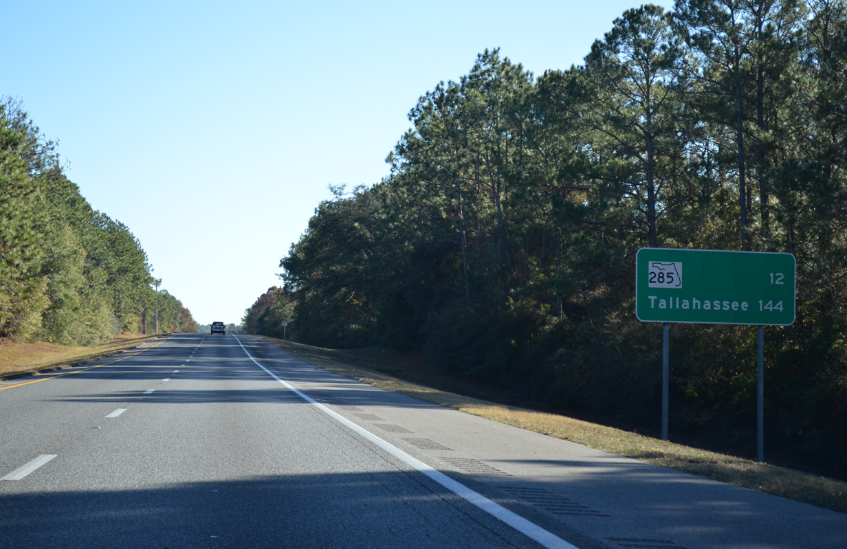
A 12 mile exit less leads Interstate 10 east to SR 285 near Mossy Head. Tallahassee is 144 miles away.
11/26/14
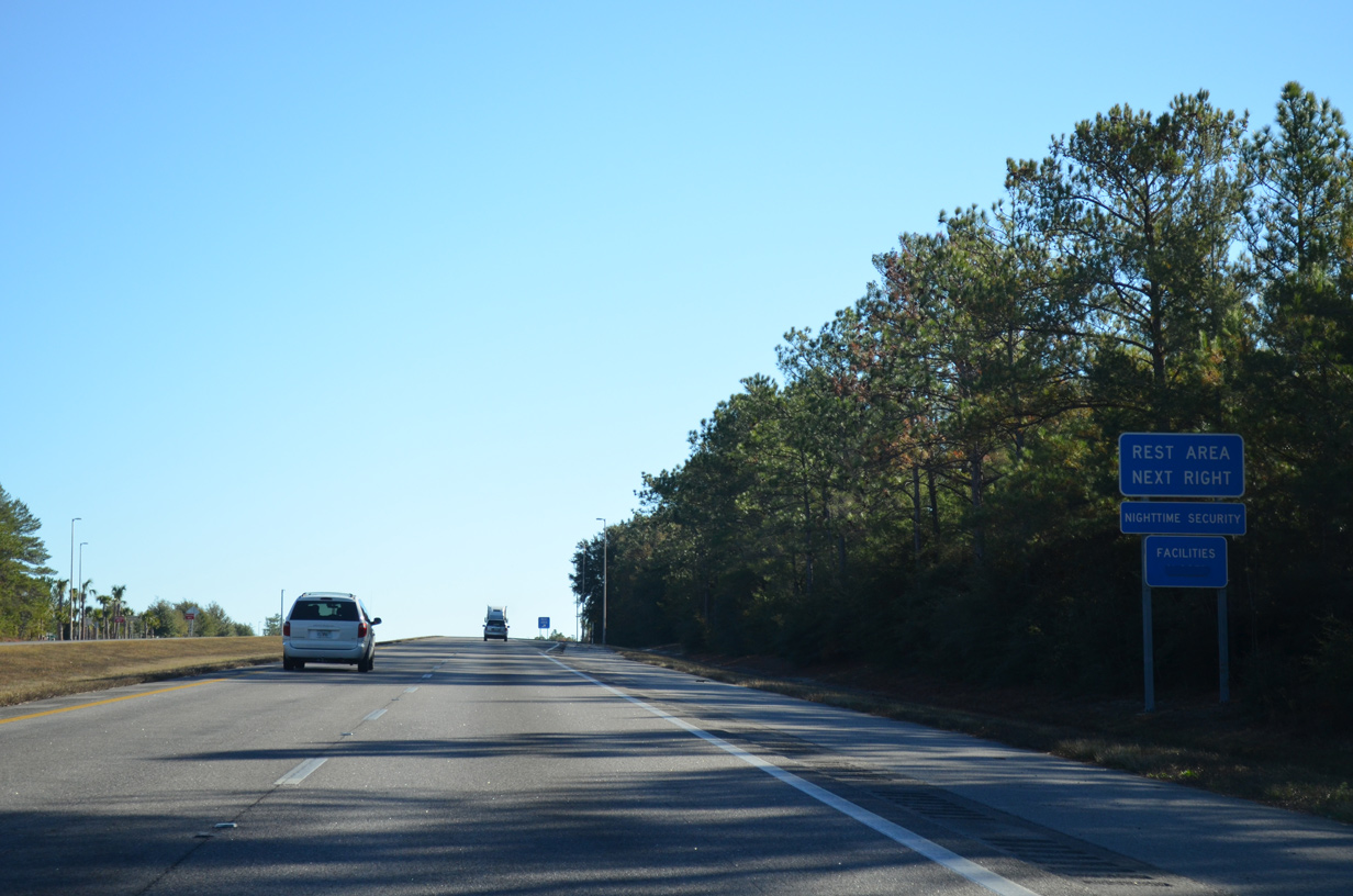
The Okaloosa County rest area replaced a previous facility on the ridge west of the Shoal River.
11/26/14
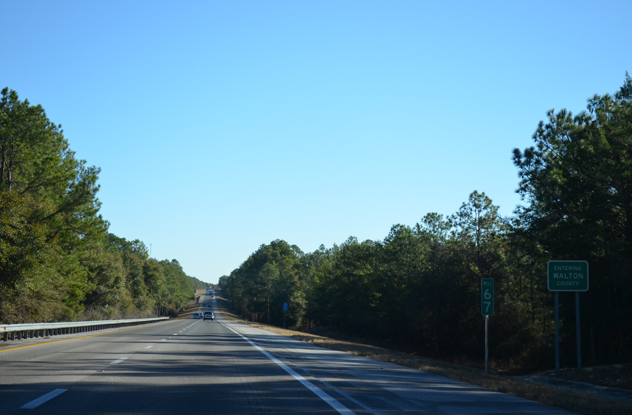
Interstate 10 crosses into Walton County southeast of Deerland and west of Gum Creek.
11/26/14
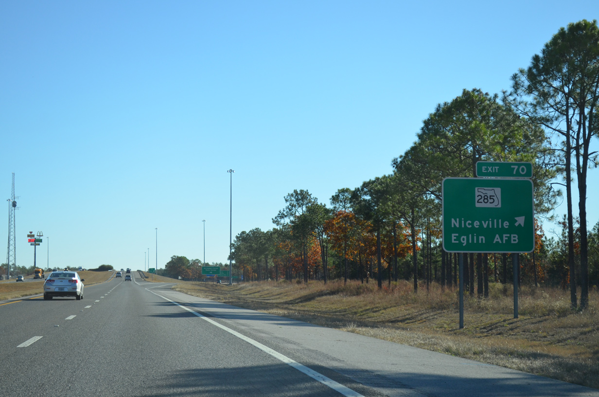
SR 285 travels 1787 miles northeast from SR 20 at Niceville to U.S. 90 just north of Exit 70 and west of Mossy Head.
11/26/14
SR 285 south to SR 293 (Mid-Bay Connector) leads to Destin via the Mid-Bay Bridge (SR 293). SR 285 ties into SR 20 just east of SR 85, providing an alternate route to Fort Walton Beach.
11/26/14
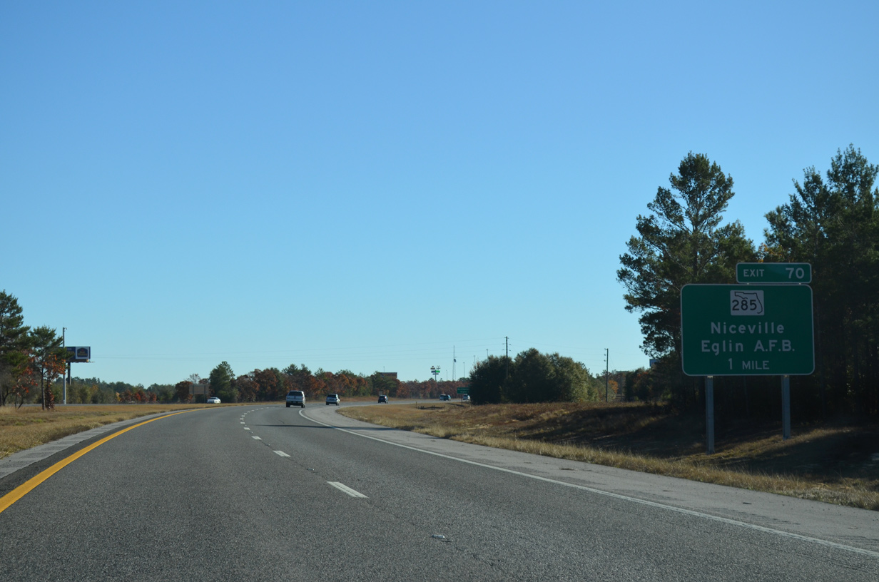
Interstate 10 eastbound enters the diamond interchange (Exit 70) with SR 285 just south of U.S. 90. U.S. 90 parallels I-10 closely through Deerland, Mossy Head and Alpine Heights.
11/26/14
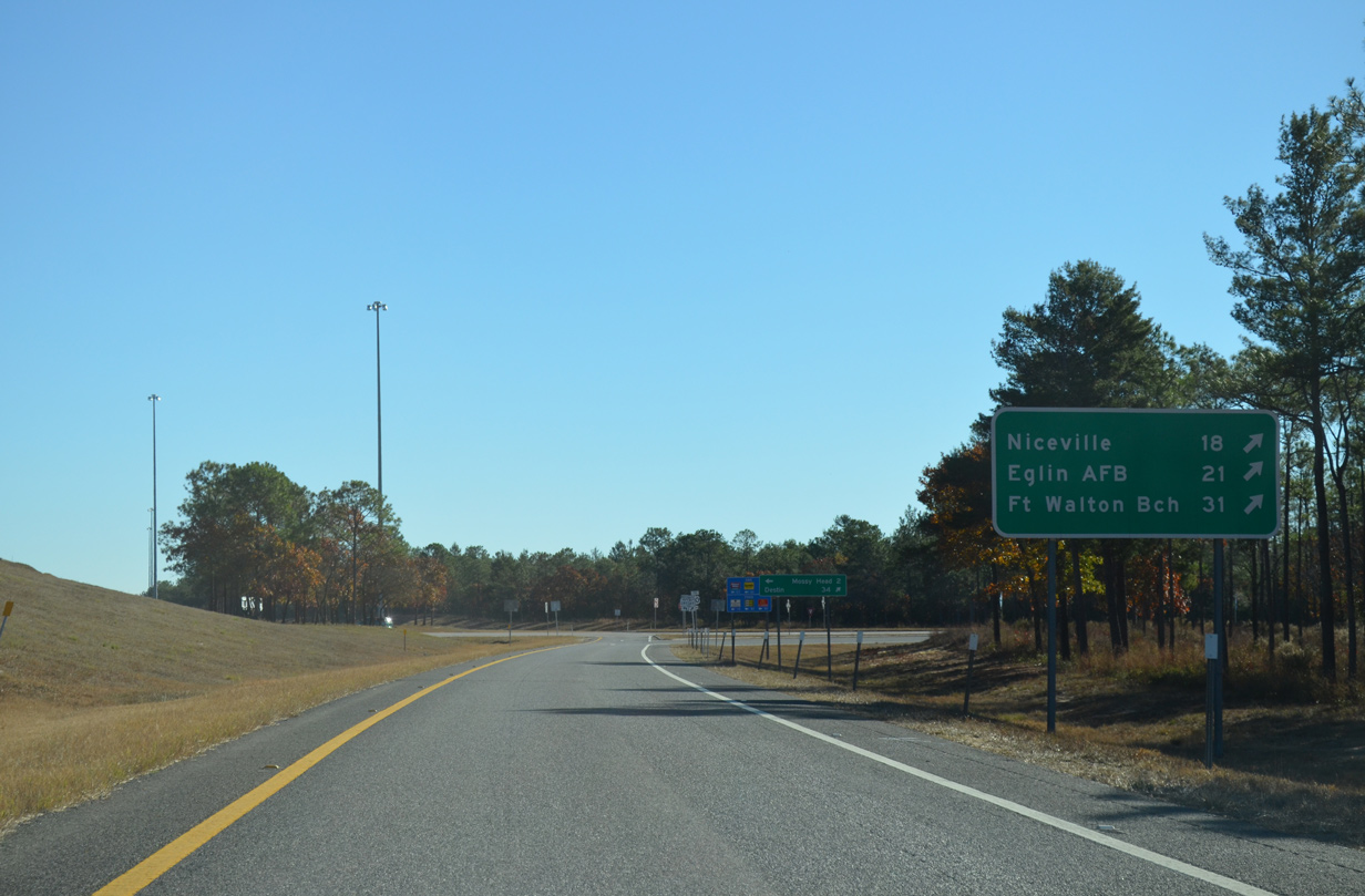
Fort Walton Beach lies 31 miles to the southwest via SR 285 and SR 85. The completion of the Mid-Bay Connector toll road around Niceville reduced the distance to Destin from Exit 70 to 32.5 miles.
11/26/14
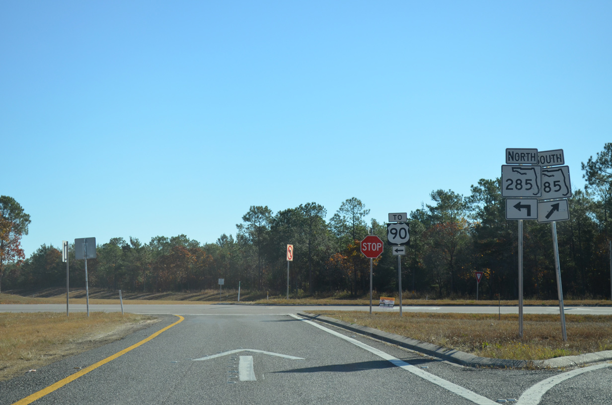
The bulk of SR 285 south runs through Eglin A.F.B and is subject to closures by the base, though generally with advance notice. U.S. 90 east meets CR 1087 north at Mossy Head in 2.25 miles. CR 1087 north to CR 2 near Gordon was formerly Florida Secondary 285.
11/26/14

Interstate 10 reassurance marker posted after Exit 70. The freeway travels through a wedge of the Eglin Air Force Base grounds ahead of Mossy Head.
02/21/10
Interstate 10 shifts northeast to run directly alongside U.S. 90 and a CSX Railroad east of Mossy Head.
11/26/14

Another long exit less stretch ensues north of Eglin AFB. U.S. 331 and De Funiak Springs lie 14 miles to the east.
11/26/14
I-10 and U.S. 90 separate south of Alpine Heights and Lake Alaqua.
11/26/14
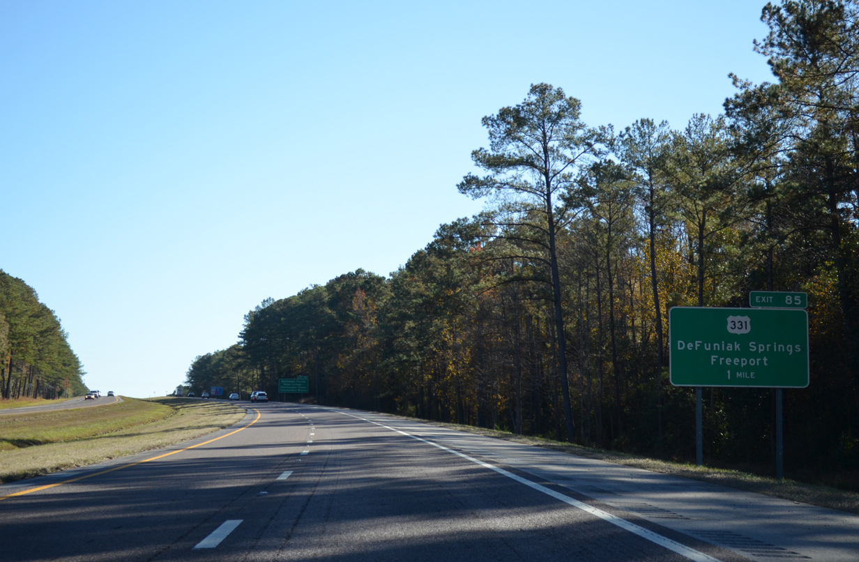
U.S. 331 joins Interstate 10 with the Walton County seat of De Funiak Springs at Exit 85. U.S. 331 comprises a two-state route between U.S. 98 in south Walton County and U.S. 80/82 in the Alabama capital city of Montgomery.
11/26/14
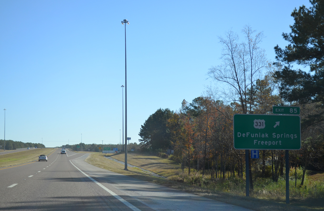
A diamond interchange connects Interstate 10 with U.S. 331 at Exit 85. Points of interest for Exit 85 include Northwest Florida State College, the Chautauqua Center and the Chautauqua Vineyards.
11/26/14
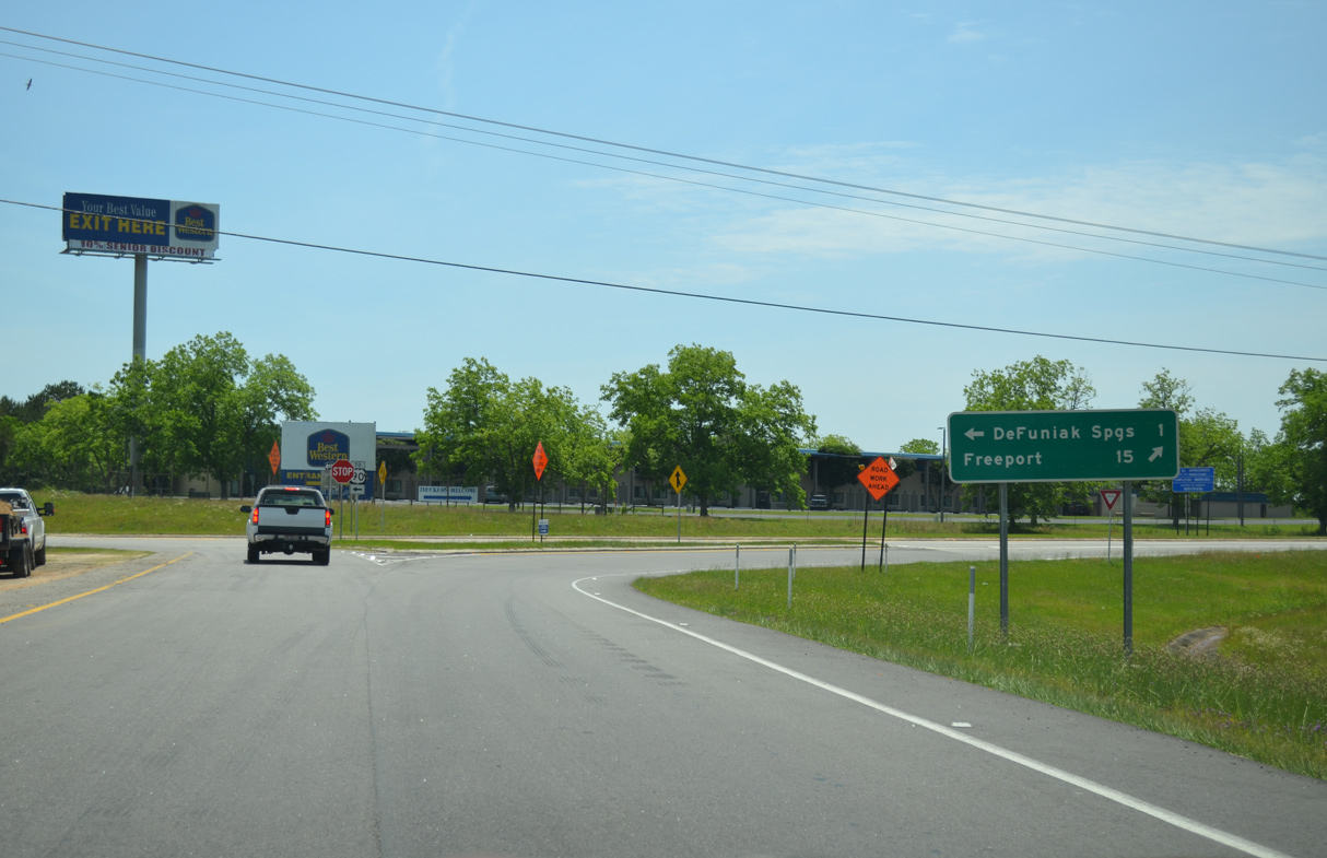
U.S. 331 travels 15 miles south from Exit 85 to Freeport, where a bypass was completed in 2007. North from I-10, U.S. 331 (S 14th Street) combines with U.S. 90 (Nelson Avenue) west in 2.1 miles.
07/19/07
Interstate 10 travels through southern reaches of the De Funiak Springs city limits two miles east from U.S. 331.
11/26/14
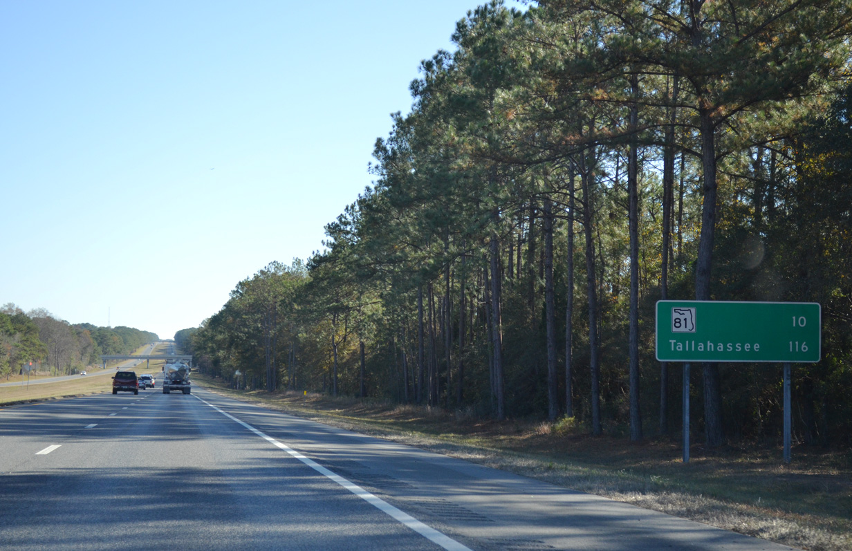
CR 280A passes over Interstate 10 southeast of De Funiak Springs near the distance sign for SR 81 (Exit 96) and Tallahassee.
11/26/14
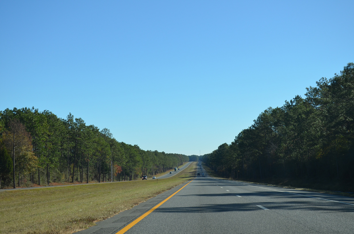
Interstate 10 runs due east along a section line for five miles across Bruce Creek and below CR 280A. This view looks east of CR 280.
11/26/14
The roadways of I-10 separate around a forested median on the northeasterly turn by Douglass Crossroads.
11/26/14
Passing by milepost 92 along I-10 east. 19,556 vehicles per day (vpd) were recorded by FDOT on this rural stretch in 2014.
11/26/14
Two miles west of the Ponce De Leon rest area at Exit 96.
11/26/14
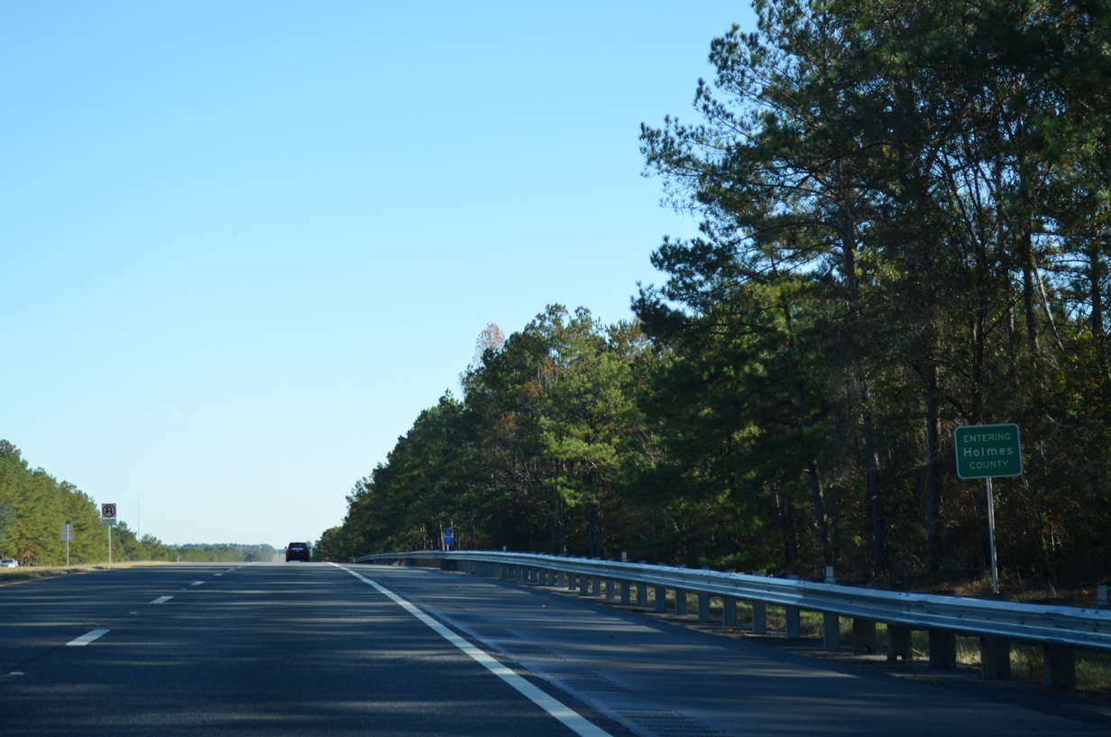
Interstate 10 crosses into Holmes County for the first time outside of Ponce De Leon.
11/26/14

Photo Credits:
- Alex Nitzman: 07/19/07, 11/03/12, 05/22/14, 11/26/14, 10/13/16
- Brent Ivy: 02/21/10
Connect with:
Page Updated Wednesday November 25, 2020.